|
| Traveling north through Lincoln County, Interstate 29 advances toward a diamond interchange (Exit 53) with 291st Street (County Road 146). 04/20/07 |
|
| 291st Street joins the freeway with the city of Viborg 14.5 miles to the west. Eastward from Exit 53, CR 146 transitions into an unpaved road at former U.S. 77 (472nd Avenue). 04/20/07 |
|
| Interstate 29 north meets 288th Street (CR 140) at a diamond interchange (Exit 56) in one mile. 04/20/07 |
|
| Newton Hills State Park lies eastward along 288th Street (CR 140) and the Big Sioux River from Interstate 29. 04/20/07 |
|
| Exit 56 leaves I-29 north for 288th Street (CR 140). 288th Street extends west along Saddle Creek to the Turner County line through agricultural areas. 04/20/07 |
|
| Interstate 29 crosses Saddle Creek at this reassurance marker beyond Exit 56. 04/20/07 |
|
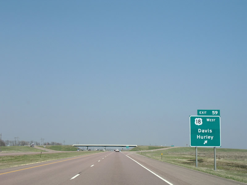
| Exit 59 joins Interstate 29 north with U.S. 18 (285th Street) west toward Davis and Hurley. U.S. 18 east merges with the freeway northward to Exit 62. Overall the US highway travels 448 miles across southern South Dakota between Wyoming and Iowa. 04/20/07 |
|
| U.S. 18 follows 285th Street west to the Turner County line on the 10 mile drive to Davis. The city of Hurley lies north of U.S. 18 via SD 19. Eastward 285th Street (CR 134) used to carry U.S. 18 to U.S. 77, where the two overlapped for three miles. 04/20/07 |
|
| Interstate 29 north / U.S. 18 east reassurance markers posted just north of their merge at Snake Creek. 04/20/07 |
|
| I-29 north and U.S. 18 east split in two miles, 14 miles from the city of Sioux Falls. 04/20/07 |
|
| Located 9.5 miles west of the Big Sioux River city of Canton, Exit 62 is a diamond interchange with 282nd Street.
The USGS topographic map of this area shows a loop ramp from U.S. 18 west to I-29 south. 04/20/07 |
|
| U.S. 18 east departs Interstate 29 north for 282nd Street and the Lincoln County seat of Canton. U.S. 18 continues from South Dakota to Rock Valley, Iowa. 04/20/07 |
|
| Interstate 29 continues from U.S. 18 toward SD 44 (Exit 64) and the city of Worthing. 04/20/07 |
|
| One mile south of the diamond interchange (Exit 64) with SD 44 (280th Street) near the 281st Street over crossing. SD 44 runs 379 miles west from I-29 to U.S. 385 near Silver City. 04/20/07 |
|
| Exit 64 departs Interstate 29 northbound for SD 44 (280th Street). 280th Street becomes 1st Street through Worthing. Westward, the state highway follows 280th Street to 466th Avenue north and the city of Lennox. 04/20/07 |
|
| Interstate 229 appears for the first time on I-29 north, 11 miles south of Sioux Falls. I-29 serves western reaches of the city while I-229 travels across the east side. 04/20/07 |
|
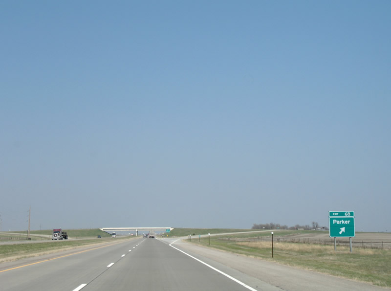
| Interstate 29 north and 276th Street (CR 116) come together at a diamond interchange (Exit 68) in one mile. 04/20/07 |
|
| While SD 44 heads to the Turner County seat of Parker, 276th Street provides a more direct route from Interstate 29 at Exit 68. The city of Parker lies 13.5 miles westward while 276th Street (CR 116) east continues 13.7 miles into Iowa. 04/20/07 |
|
| Exit 71 provides the first of two interchanges for the bedroom community of Tea on Interstate 29 north. Meeting the freeway ahead is 273rd Street (CR 110). 04/20/07 |
|
| Northbound at the diamond interchange (Exit 71) with 273rd Street (CR 110). 273rd Street heads 4.6 miles east to the city of Harrisburg and 1.6 miles west to 469th Avenue (CR 111), one mile south of Tea. 04/20/07 |
|
| Upgraded to a single point urban interchange (SPUI) in 2005, Exit 73 joins I-29 with 271st Street (CR 106) by a sprawling industrial park on the outskirts of Tea. 271st Street heads two miles west to Main Avenue at Tea and 1.5 miles east to Louise Avenue (CR 117) on the outskirts of the Sioux Falls suburbs. 04/20/07 |
|
| Continuing north into the city of Sioux Falls, I-29 splits with I-229 two miles beyond the 271st Street underpass. 04/20/07 |
|
| Construction in 2015-17 added auxiliary lanes northward from 271st Street to Exit 75 with I-229. 04/20/07 |
|
| No control points are used for I-229 at Exit 75, similar to Interstate junctions in the Dallas-Fort Worth area. The freeway comprises an urban loop south and east of Downtown while providing a direct route for I-90 east to Brandon and Luverne, Minnesota. 04/20/07 |
|
| A large trumpet interchange connects I-29 and I-229 at Exit 75. I-229 meets I-90 in 11.4 miles, while a Business Loop serves interests to the city center.
The I-29/229 construction project from 2015 to 2017 included replacing the concrete pavement and bridges for I-29 and realigning the south side ramps to improve geometry.3 06/17/15 |
|
| The next five interchanges serve the city of Sioux Falls, starting with Exit 77 at 41st Street. 41st Street constitutes a commercial arterial east to the nearby Empire Mall and Western Mall retail centers. 04/20/07 |
|
| 57th Street passes over Interstate 29 at the Minnehaha County line. Sioux Falls is the county seat as well as South Dakota's largest city. 04/20/07 |
|
| 41st Street east serves Augustana University and the University of Sioux Falls (USF) in additional to the adjacent retail area. 41st Street continues east from the college area to Cliff Avenue near I-229 and west through newer suburbs toward Ellis Road. 08/06/16 |
|
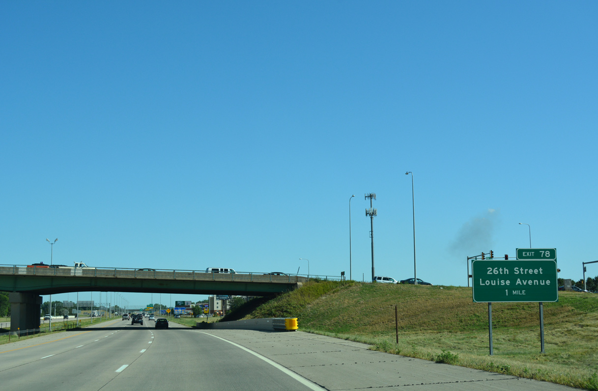
| 26th Avenue east and Louise Avenue north converge with I-29 at a diamond interchange (Exit 78) in one mile. 08/06/16 |
|
| Auxiliary lanes added by 2013 expand I-29 to eight overall lanes betewen Exit 77 and Exit 78. Louise Avenue north from the Empire Mall area becomes 26th Street west across I-29 to residential areas. 08/06/16 |
|
| Exit 78 leaves I-29 north for 26th Street and Louise Avenue. 26th Street extends west to Memorial Park and Ellis Road. 08/06/16 |
|
| I-29 north advances one mile north to Business Spur I-29 east and SD 42 (12th Street) at Exit 79. SD 42 serves industrial areas to the west while the commercial boulevard heads east to the couplet of 10/11th Streets into Downtown Sioux Falls. 08/06/16 |
|
| Occasionally marked as Downtown Spur I-29, Business Spur I-29 is locally maintained by the city of Sioux Falls. The route runs 2.5 miles east to Business Loop I-229 and SD 155 along Minnesota Avenue. 08/06/16 |
|
| Exit 79 was reconfigured into a single point urban interchange (SPUI) in 2006. Posted as SD 42, 12th Street is locally maintained west to Tea-Ellis Road, where SD 42 vacates Sioux Falls for Stanley Corner. East of the city, SD 42 runs another 6.9 miles to East Sioux Falls and the Iowa state line. 08/06/16 |
|
| Attractions along Business Spur I-29/SR 42 (12th Street) east include the Great Plains Zoo and the USS South Dakota Battleship Memorial at Sherman Park and the Washington Pavilion in Downtown. 04/20/07 |
|
| Business Spur I-29 (12th Street) spans the Big Sioux River near Sherman Park within one mile. East from Minnesota Avenue, SD 42 accompanies Business Loop I-229 to I-229 at Exit 6. 08/13/16 |
|
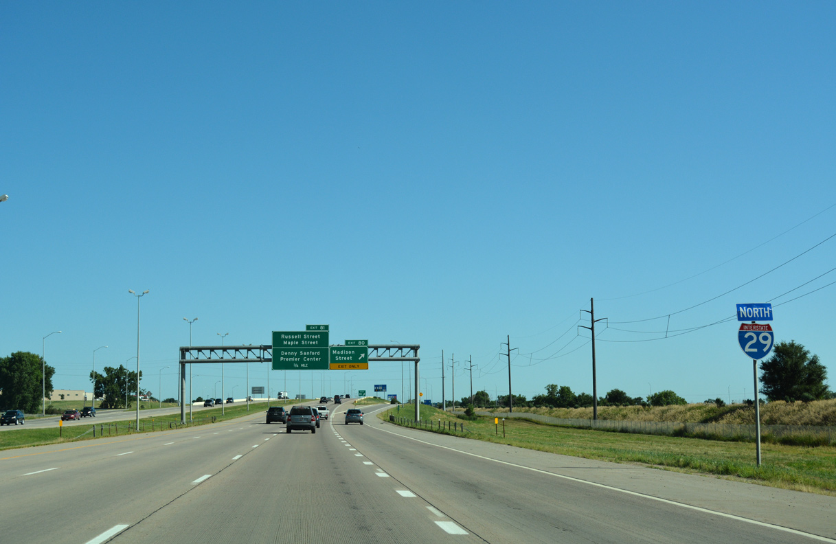
| Madison Street travels east from Exit 80 to Sioux Falls Stadium and west through newer suburban development ahead of Ellis Road. 08/06/16 |
|
| The entrance ramp from 12th Street forms an auxiliary lane along I-29 north to Madison Street (Exit 80). 08/06/16 |
|
| Exit 80 leaves Interstate 29 north for Madison Street. Heading east from Exit 81 to Denny Sanford Premier Center (Sioux Falls Arena), Russell Street parallels to the north. 08/06/16 |
|
| Exit 81 departs for Russell Street (old SR 38) east and Maple Street west below a pedestrian overpass. Russell Street comprises an arterial between I-29 and Business Spur I-90/SD 115 (Minnesota Avenue) at the North End East neighborhood. Maple Street continues the arterial west to Southeast Technical Institute (STI) and CR 140. 08/06/16 |
|
| A third single point urban interchange (Exit 82) in the Sioux Falls area joins Interstate 29 with Benson Road in one mile. 08/06/16 |
|
| Historically a wye interchange added traffic to I-29 north from Russell Street. That interchange was removed during a project to redesign Exit 81 between Spring 2002 and 2004.2 08/06/16 |
|
| Another auxiliary lane joins Interstate 29 north between Exits 81 and 82. Benson Road heads east a short distance to Westport Avenue and the Sanford Sports Complex. 08/06/16 |
|
| Benson Road serves suburban areas west of Exit 82 while Interstate 29 advances north to SD 38 (60th Street) west at Exit 83. 08/06/16 |
|
| One quarter mile south Exit 83 with 60th Street and SD 38 west on I-29 north. Construction in the early 2000s reconfigured the diamond interchange with SD 38 into a parclo. 08/06/16 |
|
| SD 38 constitutes a 63.4 mile long highway between I-29 in Sioux Falls and Business Loop I-90 at Mitchell. 08/06/16 |
|
| Providing access to Sioux Falls Regional Airport (FSD), 60th Street (old SD 38A) extends east from I-29 and SD 38 to Minnesota Avenue (SD 115). 08/06/16 |
|
| SD 38 parallels Interstate 90 west from Sioux Falls to Hartford, Humbolt and Salem. 08/06/16 |
|
| A cloverleaf interchange joins I-29 and I-90 on the northwest outskirts of Sioux Falls. 08/06/16 |
|
| I-90 skims northern reaches of the city en route to Brandon and Luverne, Minnesota from Exit 84A. Interstate 90 meets I-35 at Albert Lea, Minnesota in 175 miles. 08/06/16 |
|
| SDDOT occasionally closes Interstate 29 north of I-90 and Sioux Falls due to inclement weather. 08/06/16 |
|
| Exit 84B loops onto I-90 west toward Mitchell and Chamberlain. Interstate 90 replaced U.S. 16 from Rapid City east to Portage, Wisconsin. 08/06/16 |
|
| Closed crossovers lie within the median of Interstate 29 as the roadways separate across a Madison Subdivision railroad line just north of I-90. 08/06/16 |
|
| Leaving Sioux Falls, Interstate 29 the succeeding exit is for County Road 130 (258th Street). 08/06/16 |
|
| Brookings represents the next major population center along Interstate 29 north. SD 34 and Fargo, North Dakota join the Brookings County seat on this northbound distance sign. 08/06/16 |
|
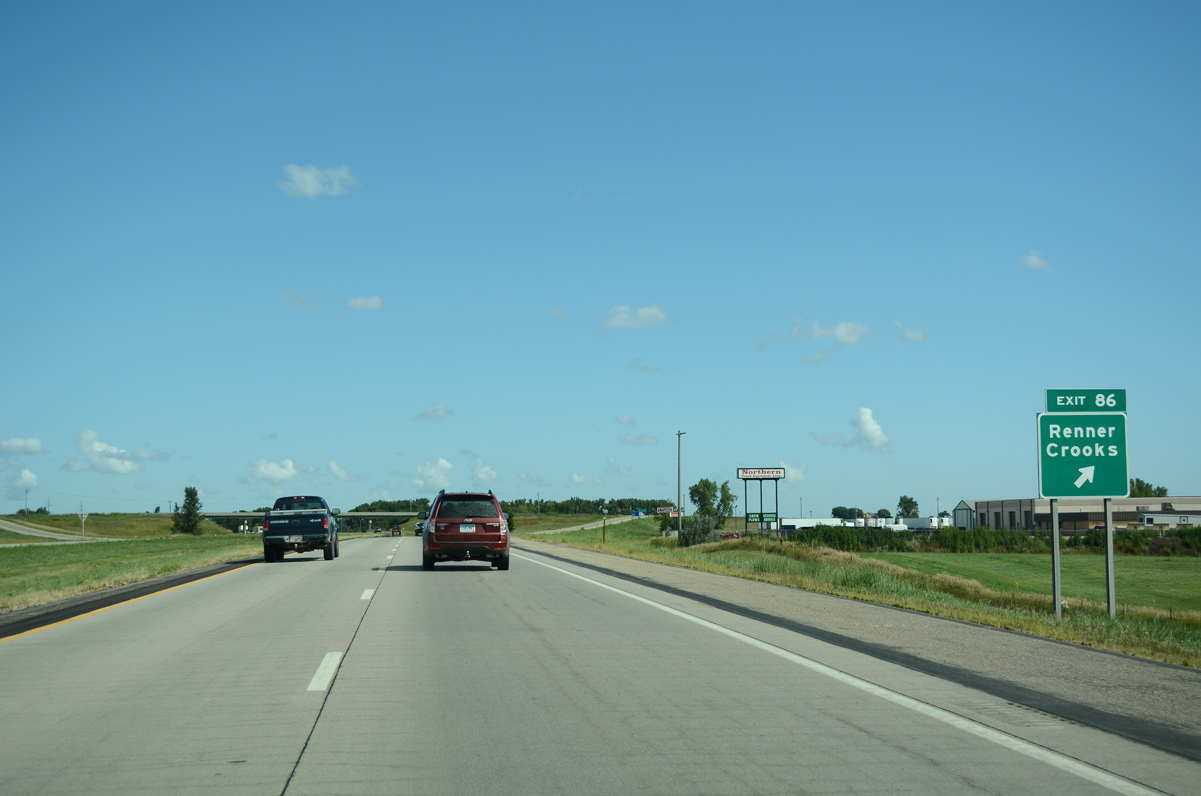
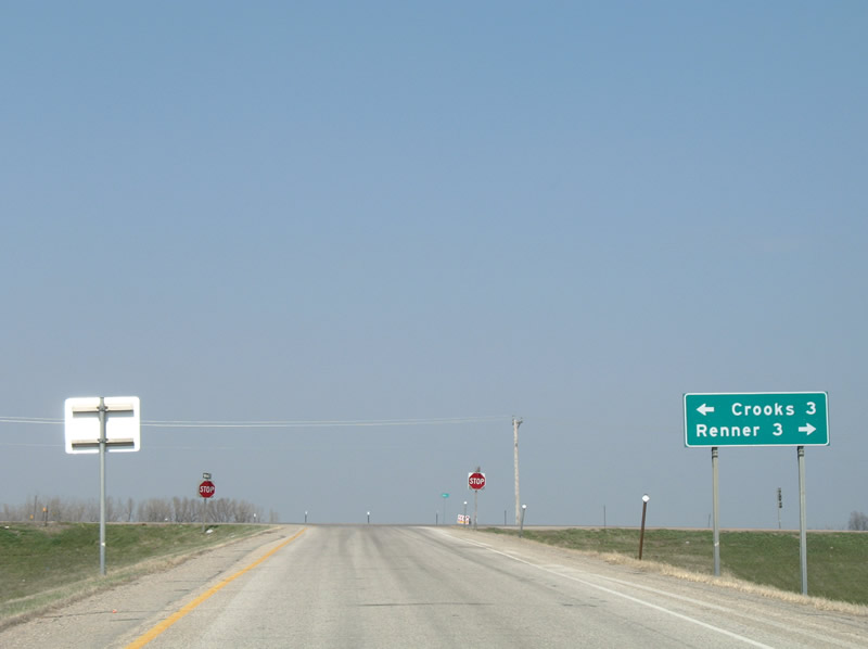
| Entering the diamond interchange (Exit 86) with 258th Street (CR 130) on Interstate 29 north. 08/06/16 |
|
| A handful of industrial parks surround the exchange with 258th Street (CR 130) at Exit 86. CR 130 leads east to Renner (SD 115 / former U.S. 77) and west to 470th Avenue outside the city of Crooks. 04/20/07 |
|
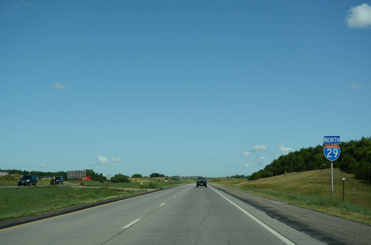
| Interstate 29 shifts a half mile westward over the ensuing 1.5 mile stretch from Exit 86. 08/06/16 |
|
| Paralleling CR 133, I-29 bee lines northward through Lyons township. 08/06/16 |
|
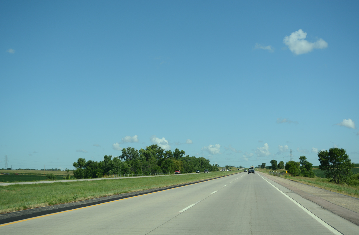
| CR 114 (250th Street) crosses paths with Interstate 29 at Exit 94 in one mile. 08/06/16 |
|
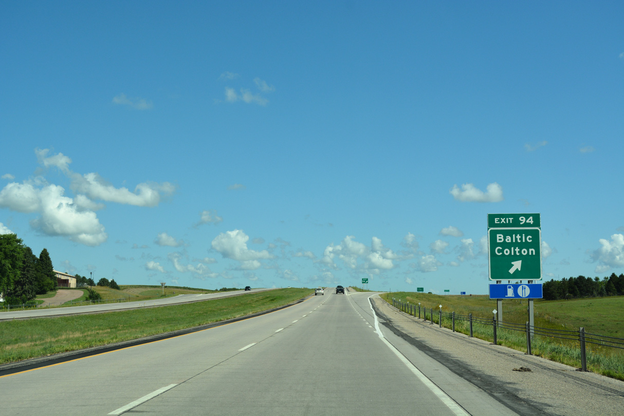
| The USGS Earth Resources Observation and Science (EROS) data center lies 10.5 miles east of Exit 94 via CR 114 and 479th Avenue. 08/06/16 |
|
| The city of Baltic is 1.8 miles east of Exit 94 along the Big Sioux River. Located 8.8 miles to the west, Colton lies north of CR 114 along CR 149 (464th Avenue). 08/06/16 |
|
| North from Exit 94, Interstate 29 enters Burk township. 08/06/16 |
|
| Forthcoming Exit 98 joins Interstate 29 with the north end of SD 115 and CR 104 west toward Colton. 08/06/16 |
|
| The hometown of Dennis Duagaard, South Dakota Governor from 2011-19, Dell Rapids lies 2.4 miles east of Interstate 29 via SD 115. 08/06/16 |
|
| County Road 104 (250th Street) extends 7.4 miles west from Exit 98 to CR 149, 4.8 miles south of Chester. 08/06/16 |
|
| Interstate 29 shifts 1.25 miles eastward over the succeeding 3.5 miles. 08/06/16 |
|
| The exchange with SD 34 west to Madison lies ten miles ahead. Fargo, North Dakota is 218 miles away. 08/06/16 |
|
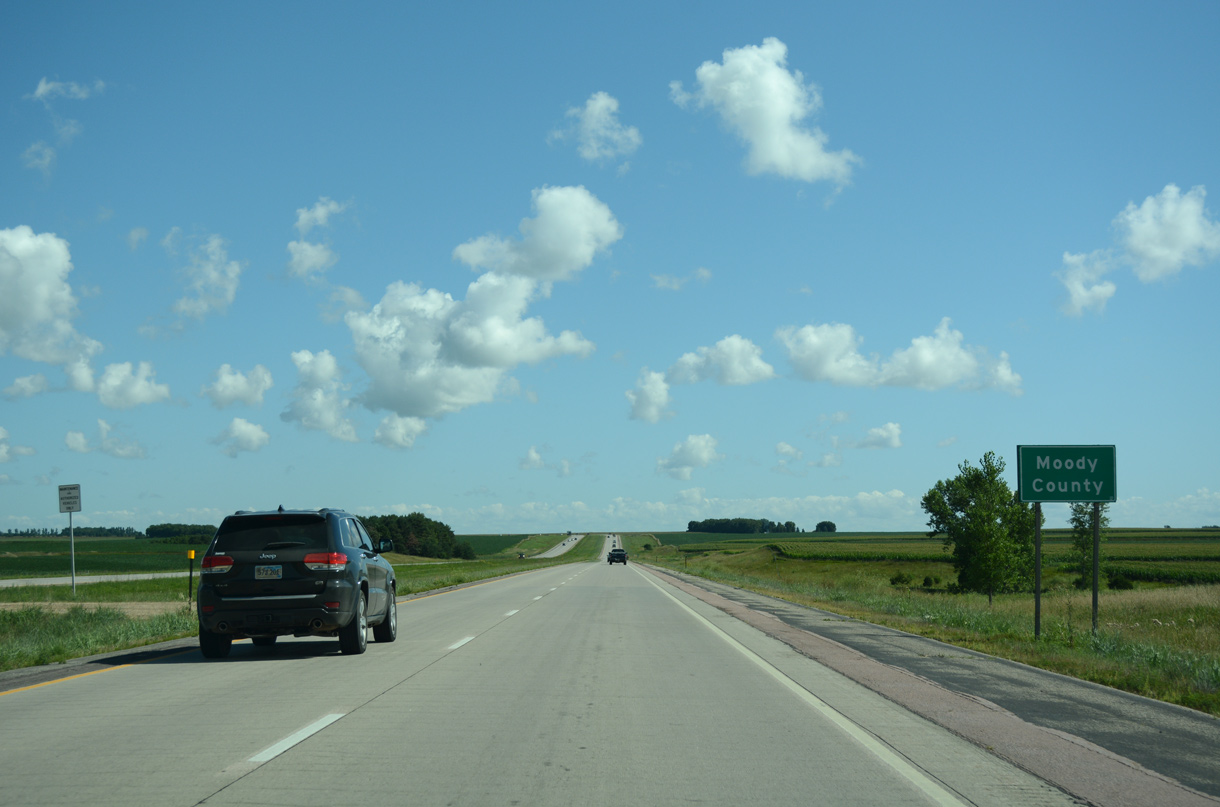
| Crossing into Moody County along I-29 north. 08/06/16 |
Page Updated 02-18-2020.

 North
North


 East
East