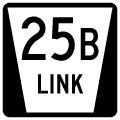
1.10 miles in length, Link 25B connects Interstate 80 with U.S. 138 in the village of Big Springs. Extending north from Road 209 and the diamond interchange at Exit 107, L-25B crosses the South Platte River ahead of Pine Street and the Big Springs business district.
|
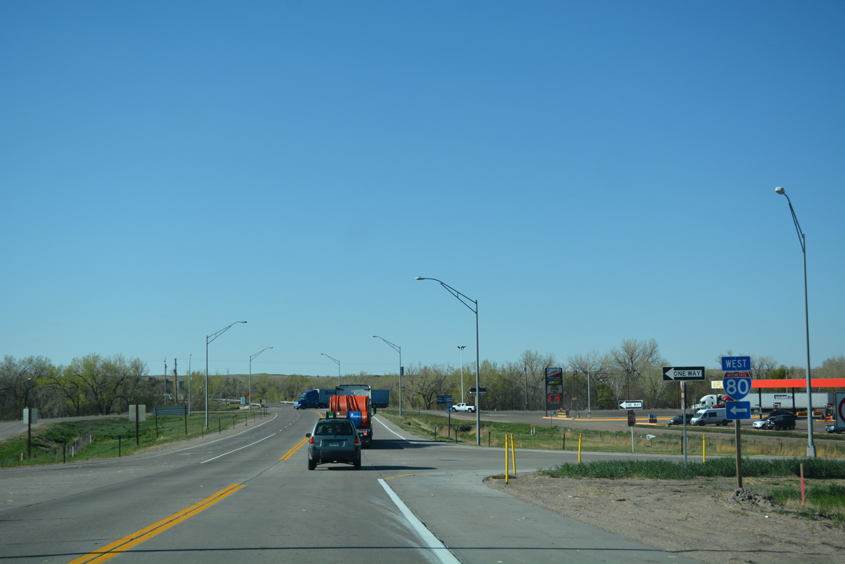
| L-25B extends north from Road 209 through the diamond interchange (Exit 107) with Interstate 80. 04/22/17 |
|
| Next meeting Interstate 76 south into Colorado, I-80 heads 48 miles west to Sidney. 04/22/17 |
|
| Link 25B is unmarked leading north from the exchange with Interstate 80. 04/22/17 |
|
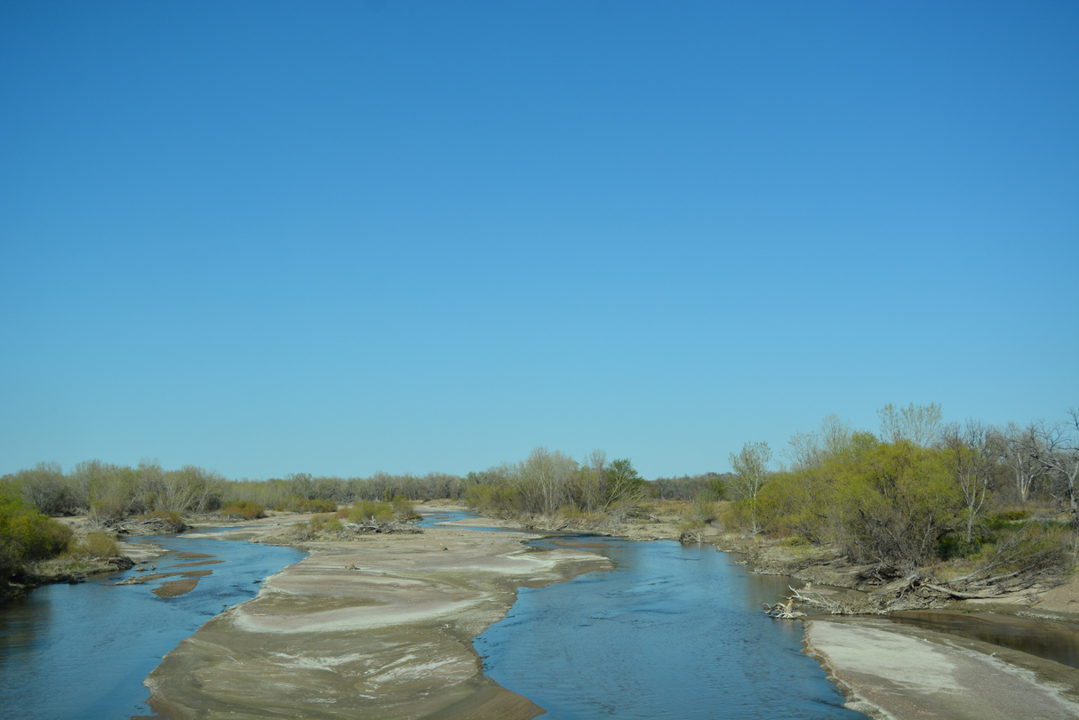
| Link 25B crosses the South Platte River north to Pine Street in Big Springs. 04/22/17 |
|
| The South Platte River flows northeast from Colorado into Nebraska and then east to converge with the North Platte River by the city of North Platte. 04/22/17 |
|
| L-25B north to U.S. 138 east is part of an Alternate Route for Interstate 80 to U.S. 30. 04/22/17 |
|
| Curving north ahead of Union Pacific Railroad tracks, L-25B transitions onto Pine Street to the Big Springs business district. 04/22/17 |
|
| A large farm processing area with a grain elevator lies just west of Pine Street in Big Springs. 09/05/05 |
|
| Link 25B concludes where U.S. 138 overtakes Pine Street north through the Big Springs business district. 04/22/17 |
|
| Incorporated as a village in 1917, Big Springs is home to around 400. The community was settled in 1884. 04/22/17 |
|
| U.S. 138 heads two miles north from L-25B to U.S. 30 and west 11 miles to Julesburg, Colorado. 04/22/17 |
|
| The lone reassurance marker for Link 25B stands along Pine Street south of U.S. 138. 04/22/17 |
|
| This bridge carries Link 25B over the wide yet shallow South Platte River. 04/22/17 |
|
| The junction shield for Interstate 80 posted at the north frontage road was replaced with an I-80 west assembly. 09/05/05, 04/22/17 |
|
| Interstate 80 travels west across the Nebraska Panhandle to Sidney and Pine Bluffs, Wyoming. East from I-76, I-80 follows the South Platte River to North Platte. 04/22/17 |
|
| Link 25B spans I-80 ahead of the eastbound entrance ramp and transition to Road 209 south. 09/05/05 |
Page Updated 03-01-2024.