Special thanks goes to Jack Thomas for help with photo captions.
| Interstate 88 west |
|
Past exit 20 lies a reassurance shield for Interstate 88. Photo taken 06/28/05. |
|
|
|
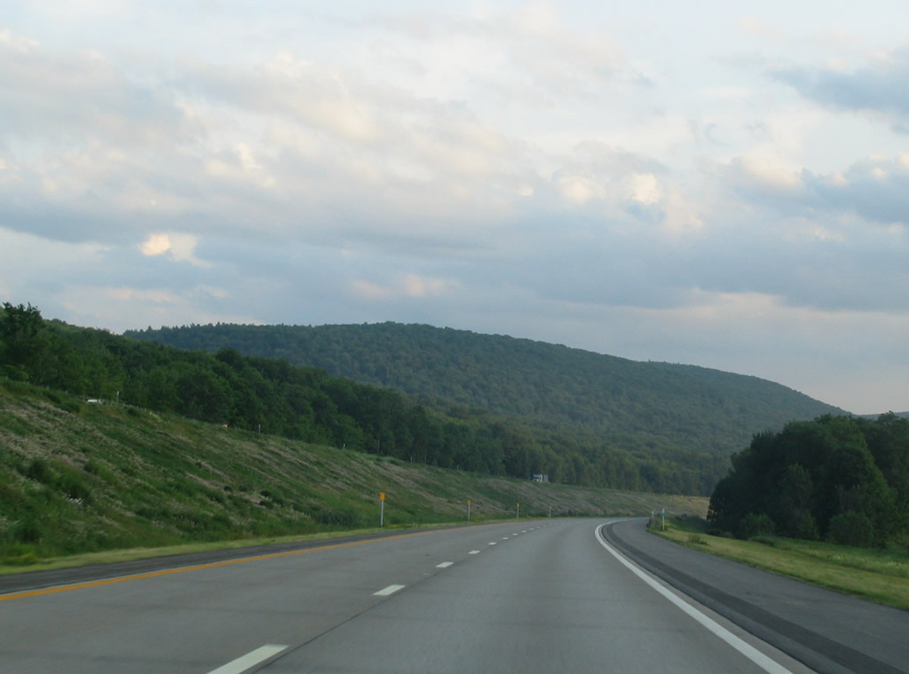
| Various scenic views of Interstate 88 paint a vast picture of mountains and low lying hills throughout the Susquehanna River Valley. Photo taken 06/28/05. |
|
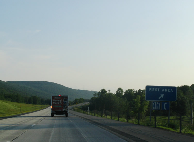
A rest area lies westbound before Exit 19. Restrooms and picnic tables are provided. Photo taken 06/28/05. |
|
Exit 19 serves the small towns of Worcester and East Worcester, both along New York 7. Photo taken 06/28/05. |
|
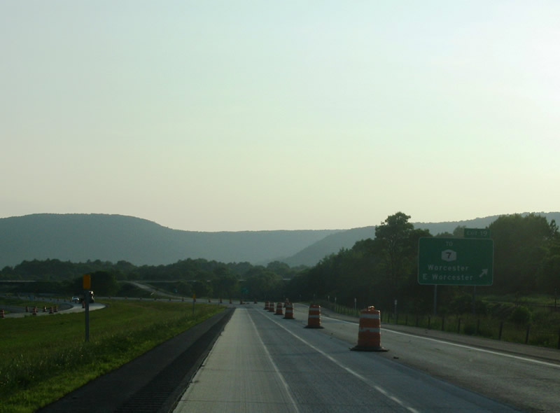
Road Construction progresses at this point when Exit 19 leaves the highway. The project consisted of replacing the aging 1980's concrete with new concrete. The project was completed Fall of 2008. Photo taken 06/28/05. |
|
Exit 18 serves the small hamlet of Schenevus. No state route directly serves the hamlet, however New York 7 is not far away. Photo taken 06/28/05. |
|
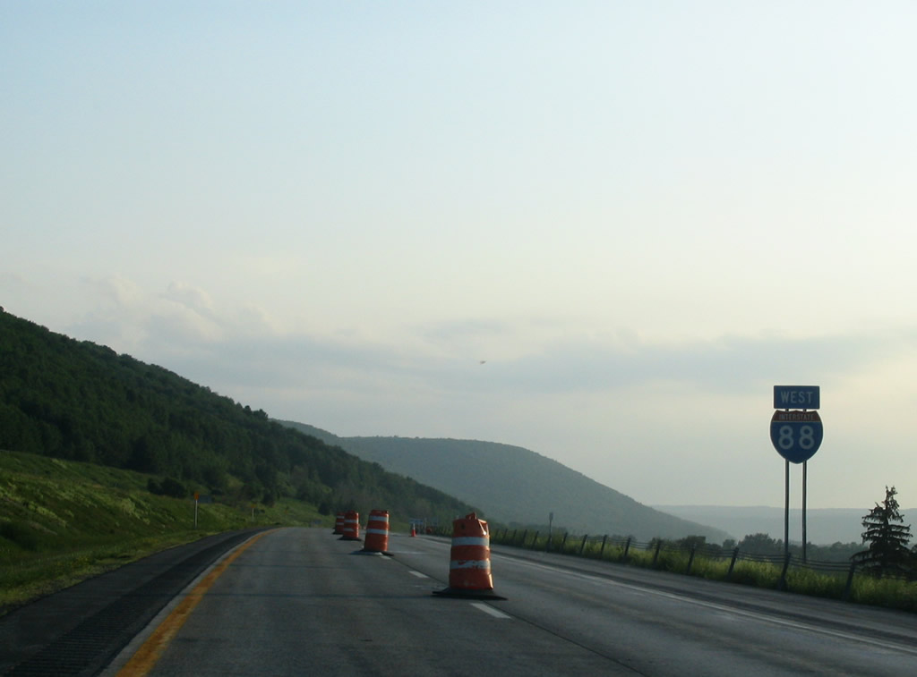
Exit 18 leaves Interstate 88. The next exit lies 12 miles to the southwest Photo taken 06/28/05. |
|
Continuing southwest, Interstate 88 nears the junction with New York 28 north to Cooperstown. Photo taken 06/28/05. |
|
Interstate 88 takes a more southern curve here as we closely parallel the Susquehanna River. Photo taken 06/28/05. |
|
Exit 17 sees the arrival of New York 28. North of this interchange, New York 28 heads to Cooperstown after serving
the small hamlet of Colliersville. Cooperstown is home to the Baseball Hall of Fame and The Farmers' Museum. Past Cooperstown, the route heads north to Herkimer, Old Forge, and North Creek before turning east and ending at U.S. 9 north of Warrensburg. Photo taken 06/28/05. |
|
Past Exit 17, New York 28 is multiplexed with Interstate 88 to Oneonta. New York 28 takes a cirmumfrential route through the state. Starting
in Kingston, the routh goes through the Catskill State Park to meet various towns such as Pheonicia, Fleischmanns, Margaretville, Andes, Delhi,
and then Oneonta. Also featured here is a rare New York state name interstate shield Photo taken 06/28/05. |
|
Advance signage for Oneonta's exits along Interstate 88. Not featured on the sign is Exit 16 for the small hamlet of Emmons and the east side
of Oneonta. Photo taken 06/28/05. |
|
|
Exit 16 meets New York 7 to enter the east side of Oneonta. Davenport Center lies to the south along County Highway 47. Photos taken 06/28/05. |
|
At Exit 16, reassurance shields for Interstate 88 West and New York 28 present themselves. The next exit sees these routes part ways. Photo taken 06/28/05. |
|
At one time, before Interstate 88 was completed through here, the small section from Exit 16 and 15 served as a temporary Oneonta bypass before
being incorporated into the interstate route. Photo taken 06/28/05. |
|
Approaching Oneonta, home to Hartwick College and SUNY College at Oneonta, I-88 west / NY 28 south next meet NY 23 at the diamond interchange at Exit 15. Photo taken 06/28/05. |
|
Exit 15 sees the departure of New York 28 from Interstate 88. New York 23 serves Downtown Oneonta as well as the south side of the city before heading east to Stamford, Grand Gorge, Hunter, and Catskill. New York 28 heads south and east towards the Catskill State Park, and the towns of Delhi, Andes, Margaretville, before eventually reaching Kingston. Photo taken 06/28/05. |
|
New York 205 crosses the Susquehanna River and meets Interstate 88 at the Exit 13 diamond interchange outside Oneonta. The state route crosses New York 7 and meets the National Soccer Hall of Fame. Further north, via Airport Road east, is Oneonta Airport. Photo taken 06/28/05. |
|
New York 205 also meets with New York 23 in town, which heads west to Norwich. 205 continues north serving various hamlets and towns before meeting back up with New York 28 south of Cooperstown. Photo taken 06/28/05. |
|
Another rare New York interstate shield presents itself past Exit 13. Photo taken 06/28/05. |
|
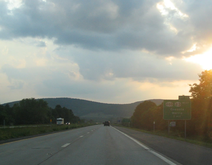
A mileage sign touts the distance to the next major point of interest, Sidney and the distance to the westernmost control point of Binghamton, 53 miles away. Photo taken 06/28/05. |
|
A reassurance sheild greets motorists as the highway continues its southwesterly track. Photo taken 06/28/05. |
|
Exit 12 serves the communities of Otego and Wells Bridge via New York 7. Photo taken 06/28/05. |
|
The older 1980's concrete makes its presence known through this area, as it has not been maintained as well as in other areas of the highway. Photo taken 06/28/05. |
|
Interstate 88 enters Delaware County soon after passing Exit 12. Photo taken 06/28/05. |
|
Nearing Unadilla, I-88 takes a more forested appearance. Photo taken 06/28/05. |
|
A rest area serves motorists as they continue their westward journey. Restrooms and picnic tables are provided. Photo taken 06/28/05. |
|
The first of two Unadilla exits, Exit 11, comes into place here. New York 357 meets the village via New York 7. Photo taken 06/28/05. |
|
Heading east of Interstate 88, New York 357 provides a short connection to the small hamlet of Franklin. Photo taken 06/28/05. |
|
|
Exit 10 provides the second entrance point to the small village of Unadilla via New York 7 East. Photos taken 06/28/05. |
|
Exit 9 for New York 8 serves the village of Sidney, New York as well as the hamlet of Masonville. Photo taken 06/28/05. |
|
New York 8 provides access to Masonville and Whitman to the south, before ending in Deposit at New York 17. Heading north, New York 8 serves
as a connection to Berlin, Bridgewater, and Utica. Sidney Airport is also served by Exit 9. Photo taken 06/28/05. |
|
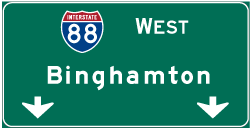
Exit 9 leaves the highway as it continues west to Binghamton. Photo taken 06/28/05. |
Page Updated February 4, 2009.