
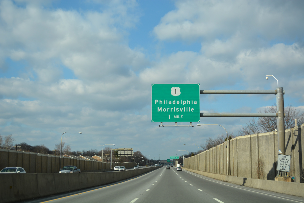
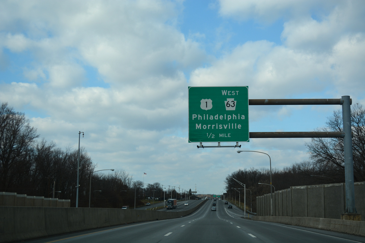
PA 63 heads northwest from Interstate 95 in Bensalem township 36.8 miles to PA 29 in the borough of Green Lane. The state route follows Woodhaven Road into Northeast Philadelphia, linking I-95 and U.S. 13 with U.S. 1 (Roosevelt Boulevard) along a four lane freeway. PA 63 overlaps with U.S. 1 south to Red Lion Road, which leads the route northwest to Philmont Avenue in Lower Moreland township.
PA 63 continues into the Montgomery County suburbs to Willow Grove and along a linear route to Lansdale. Beyond the I-476 at the Pennsylvania Turnpike Lansdale Interchange, PA 63 follows Sumneytown Pike northwest to Main Street in Green lane.
 East
East
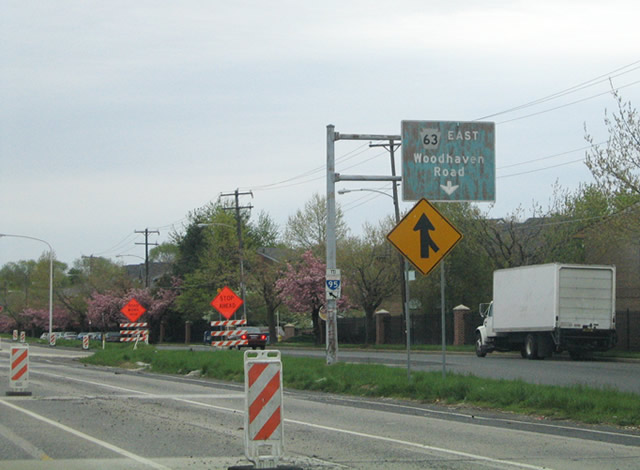
Woodhaven Road (SR 1022) becomes a part of PA 63 south from the cloverleaf interchange with U.S. 1 (Roosevelt Boulevard).
12/19/17
The loop ramp from Woodhaven Road (SR 1022) north to U.S. 1 (Roosevelt Boulevard) is unmarked.
12/19/17

Confirming marker posted south of U.S. 1 (Roosevelt Boulevard).
05/20/00

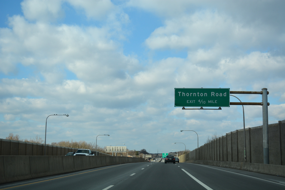
Frontage roads accompany PA 63 (Woodhaven Road) south from the diamond interchange with Thornton Road.
04/25/04
Thornton Road links Woodhaven Road with Comly Road and Southampton Road.
04/25/04

04/25/04

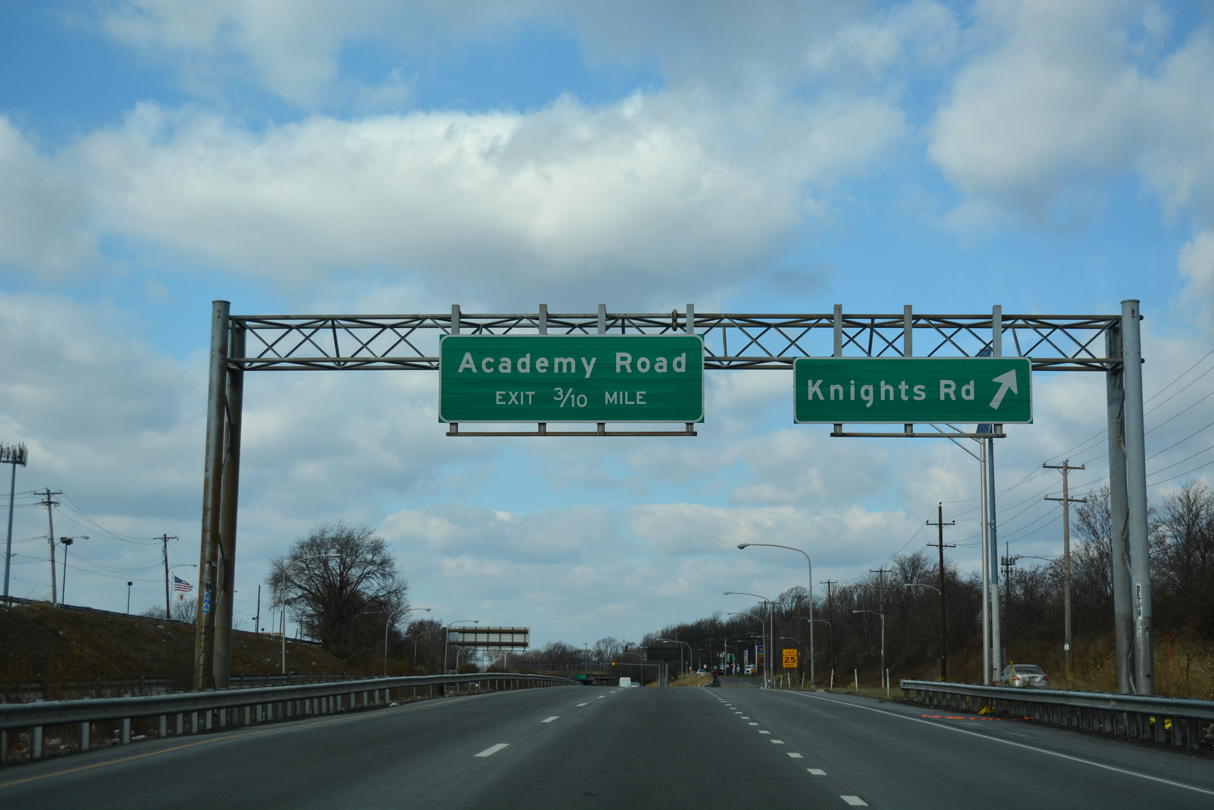
Knights Road (SR 1015) is an arterial leading south to U.S. 13 (Bristol Pike) in Northeast Philadelphia and north past Philadelphia Mills mall to PA 132 (Street Road) in Bensalem township.
04/25/04

04/25/04

A slip ramp departs from PA 63 east to Millbrook Road west and Franklin Mills Boulevard to Philadelphia Mills mall.
04/25/04

04/25/04
04/25/04

04/25/04

The northbound entrance ramp for I-95 forms a distributor roadway to the Cornwell Heights Park and Ride lot.
04/25/04
West
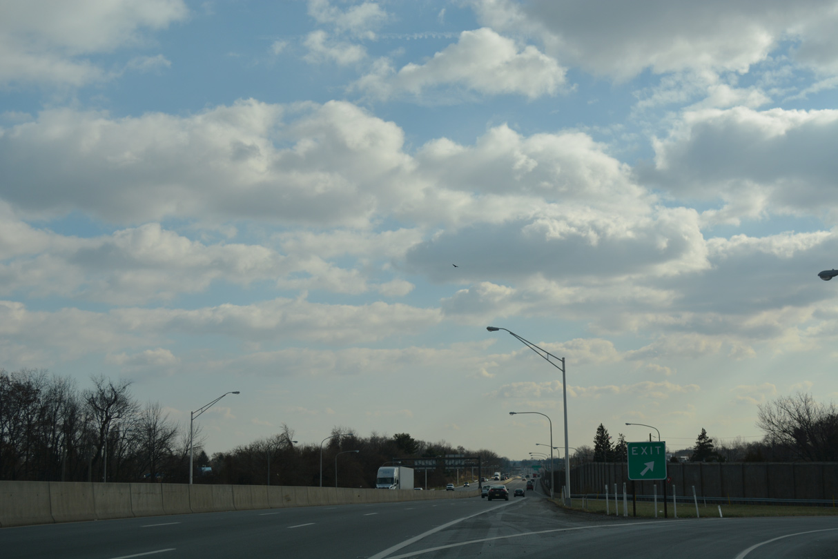
PA 63 stems north from a trumpet interchange with Interstate 95 and the Cornwells Heights Park and Ride lot.
12/19/17

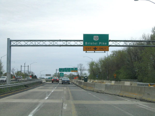
A folded diamond interchange connects PA 63 (Woodhaven Road) with U.S. 13 (Bristol Pike) to the immediate north of I-95 in Bristol township.
12/19/17

12/19/17

12/19/17

12/19/17

12/19/17
12/19/17

12/19/17

12/19/17

12/19/17
12/19/17
12/19/17

12/19/17
12/19/17

12/19/17

12/19/17

The freeway along Woodhaven Road extends north from the cloverleaf interchange with U.S. 1 (Roosevelt Boulevard) to an at-grade intersection with Evans Street.
12/19/17

Evans Street links the north end of Woodhaven Road (SR 1022) with parallel Byberry Road.
12/19/17

Woodhaven Road spurs north from the roadway stubs beyond Evans Street to a pair of businesses.
12/19/17

Confirming marker for PA 63 west on Red Lion Road after the split with U.S. 1 (Roosevelt Boulevard) south.
09/26/09

09/26/09

09/26/09

The reassurance shield for PA 63 posted west of Global Road on Red Lion Road was removed after 2015.
09/26/09

PA 63 (Red Lion Road) shifts north at High Road just beyond Pine Road (SR 2050) in Lower Moreland township. This shield assembly was removed by 2015.
09/26/09

PA 63 (Red Lion Road) crosses Huntington Valley Creek ahead of the turn west onto Philmont Avenue.
09/26/09
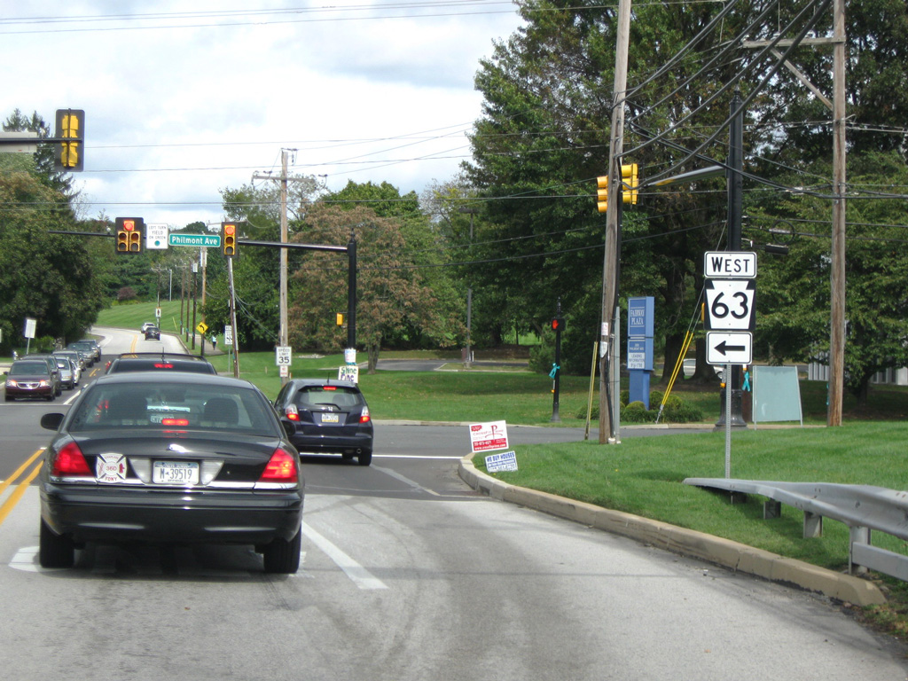
Philmont Avenue (SR 2013) extends east into Philadelphia. Red Lion Road continues north to PA 232 (Huntingdon Pike).
09/26/09

09/26/09

09/26/09

09/26/09
09/26/09

Reassurance marker posted along Old Welsh Road west at Lincoln Drive.
09/26/09

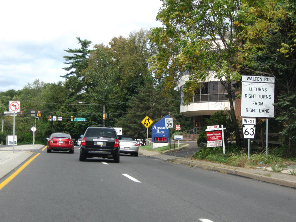
PA 63 dog legs east along Edgehill Road from Old Welsh Road to Moreland Road through Abingdon township.
09/26/09

09/26/09
09/26/09

09/26/09
Photo Credits:
05/20/00, 04/25/04, 09/26/09, 12/19/17 by AARoads
Connect with:
Interstate 95
Interstate 476
U.S. 1
U.S. 13
U.S. 202
Route 309
Route 611
Page Updated 01-02-2021.