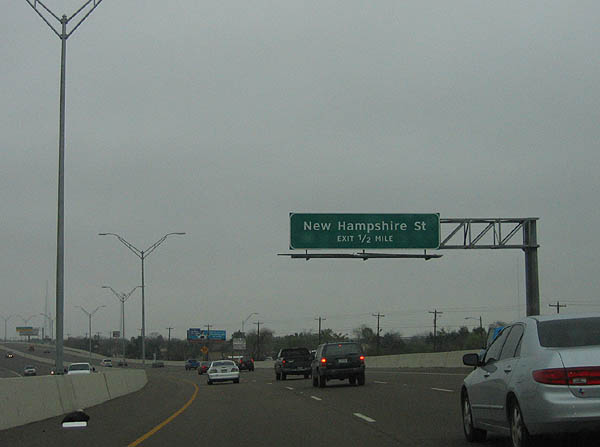
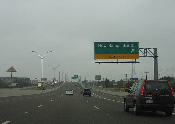
New Hampshire Street exits here. Photo taken February 19, 2006.
|

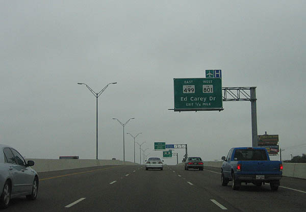
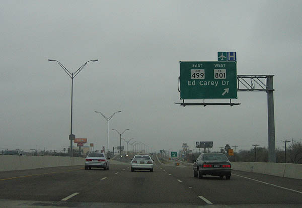
Advance signage for Loop 499 and FM 801, Ed Carey Dr. Photo taken February 19, 2006.
|

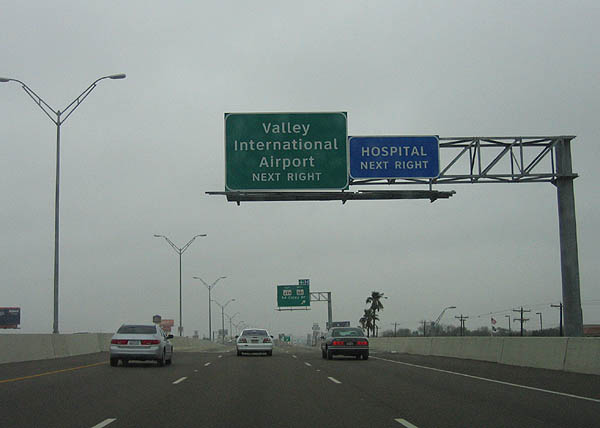
Use Loop 499 to reach Valley International Airport. Photo taken February 19, 2006.
|

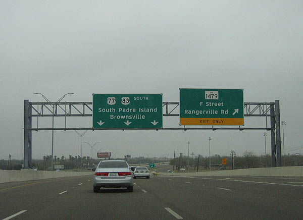
Loop 499 travels north and west around Harlingen to meet US 77, while FM 801 travels south to meet FM 800 near Rangerville. Photo taken February 19, 2006.
|

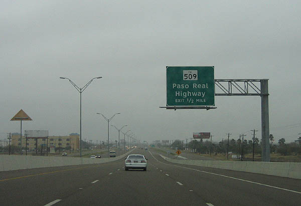
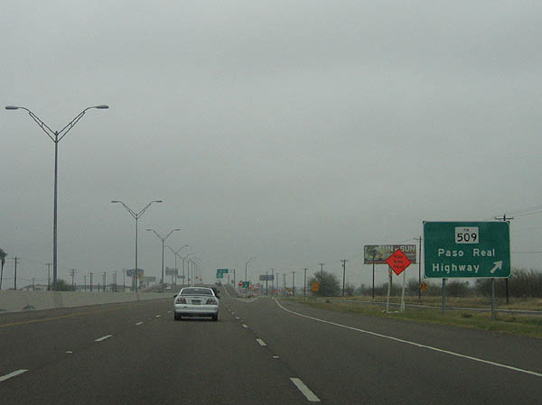
The next exit is FM 509, Paso Real highway. Photo taken February 19, 2006.
|

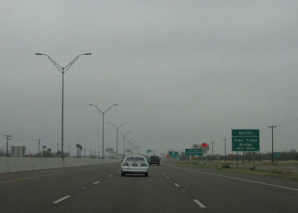
Use FM 509 to reach the Mexico Free Trade bridge. Photo taken February 19, 2006.
|

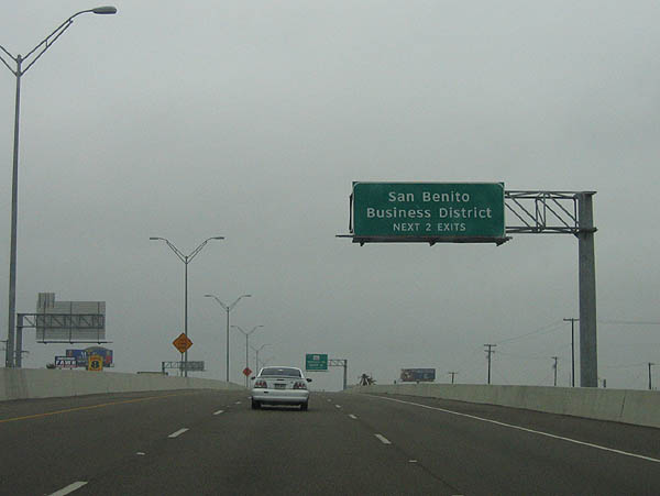
Use the next three exits to reach San Benito business district. Photo taken February 19, 2006.
|

FM 509 travels south to Los Indios and north to FM 508. Photo taken February 19, 2006.
|

Use the next two exits to reach the San Benito business district. Photo taken February 19, 2006.
|

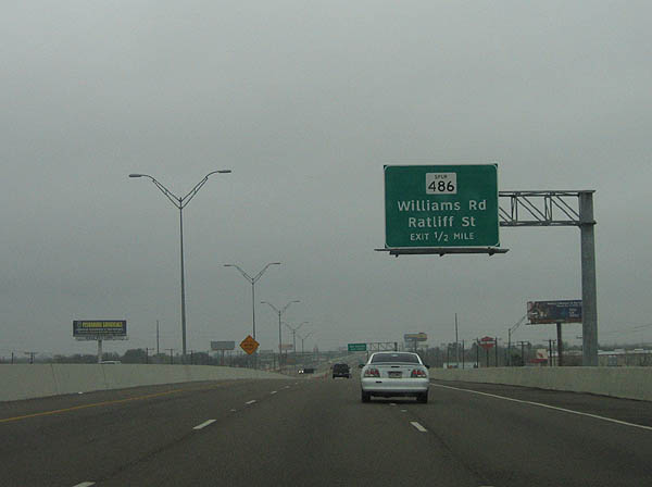
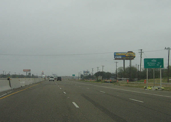
The next exit serves Spur 486, Williams Road and Ratliff Street. Photo taken February 19, 2006.
|

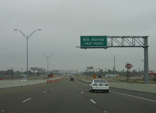
Use Spur 486 to reach Rio Hondo. Photo taken February 19, 2006.
|

Spur 486 connects US 77/83 and BU 77-W. Photo taken February 19, 2006.
|

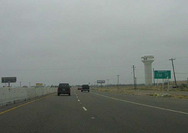
This temporary sign denotes the exit for FM 732 and BU 77-W. FM 732 travels south to US 281 and north to FM 510. Photo taken February 19, 2006.
|

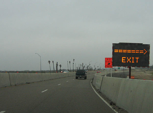
This temporary exit sign marks SH 100, which travels east to South Padre Island. Photo taken February 19, 2006.
|

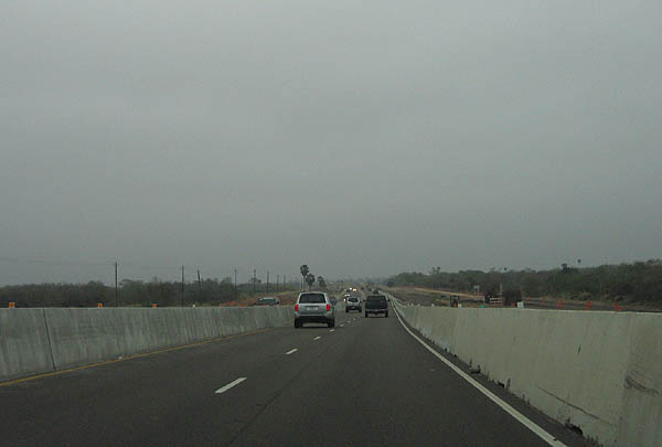
US 77/83 was under construction at the time of these photos, to be widened and reconstructed. Photo taken February 19, 2006.
|

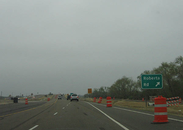
The next exit serves Roberta Road. Photo taken February 19, 2006.
|

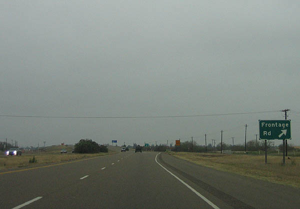
Roberta Road is followed by the frontage road. Photo taken February 19, 2006.
|

Distance sign to Olmito and Brownsville. Photo taken February 19, 2006.
|

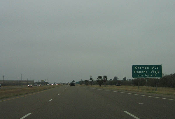
Advance signage for Carmen Avenue and Rancho Viejo. Photo taken February 19, 2006.
|

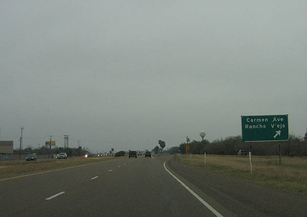
Carmen Avenue and Rancho Viejo Photo taken February 19, 2006.
|

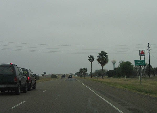
US 77/83 enter Brownsville here, as noted by the sign. Photo taken February 19, 2006.
|

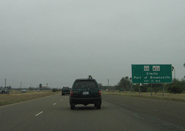
Advance signage for FM 511 and FM 803, serving Olmito and the Port of Brownsville. Photo taken February 19, 2006.
|

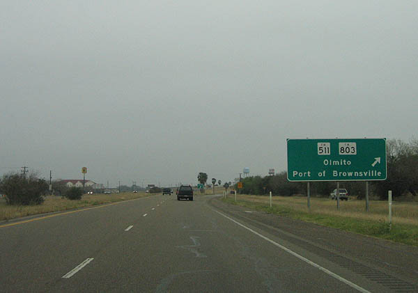
FM 803 travels north to Las Yescas, while FM 511 travels southeast to Port Brownsville and FM 1419. Photo taken February 19, 2006.
|

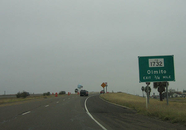
Advance signage for FM 1732 and Olmito. Photo taken February 19, 2006.
|

FM 1732 travels west to meet US 281 at Villa Cavazos. Photo taken February 19, 2006.
|

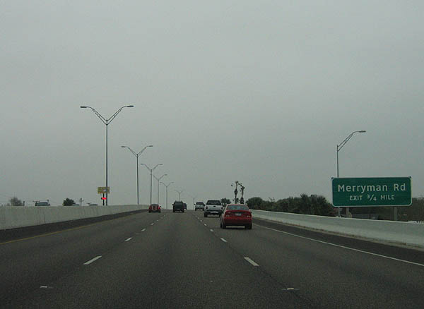
Advance signage for Merryman Road. Photo taken February 19, 2006.
|

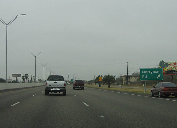
Merryman Road exits here. Photo taken February 19, 2006.
|

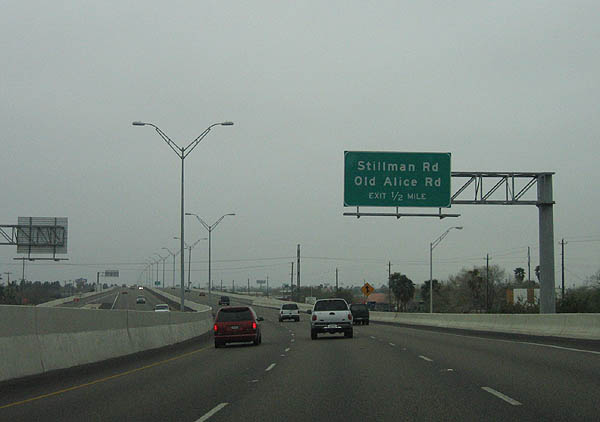
Advance signage for Stillman Road and Old Alice Road. Photo taken February 19, 2006.
|

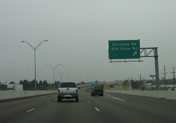
Stillman Road and Old Alice Road exit here. Photo taken February 19, 2006.
|

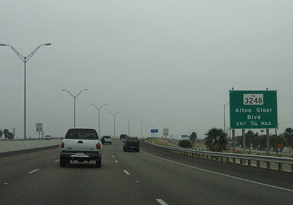
Advance signage for FM 3248, Alton Gloor Boulevard. Photo taken February 19, 2006.
|

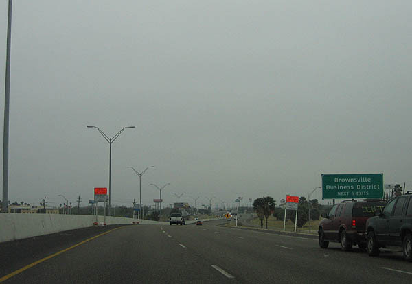
Use the next six exits for Brownsville's Central Business District. Photo taken February 19, 2006.
|

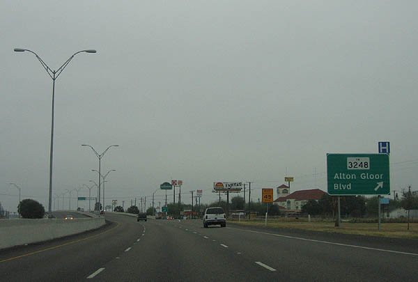
FM 3248 travels west to Villa Nueva and east to FM 511. Photo taken February 19, 2006.
|

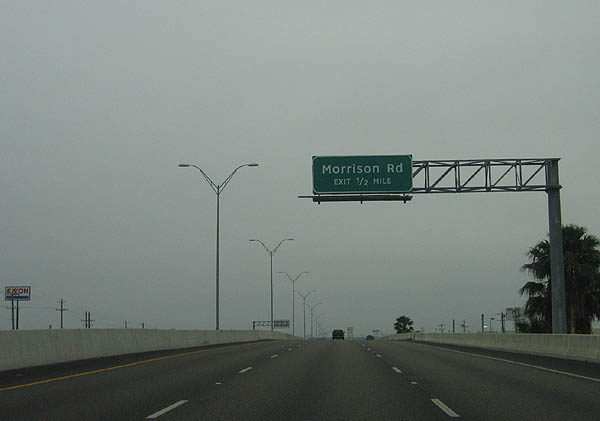
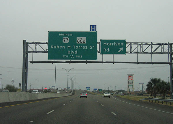
Advance signage for Morrison Road. Photo taken February 19, 2006.
|

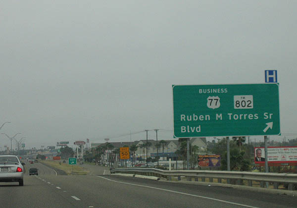
Morrison Road exits here. The next exit is Business 77-Z and FM 802. Photo taken February 19, 2006.
|

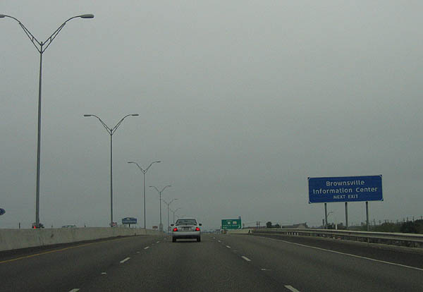
Use BU 77-Z to reach the Brownsville Information Center. Photo taken February 19, 2006.
|

BU-77Z exits here to travel south to the Gateway International Bridge and US 281, while FM 802 travels between US 281 and FM 511. Photo taken February 19, 2006.
|

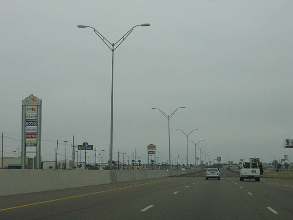
This is a typical view of the reconstructed US 77/83 freeway in Brownsville. Photo taken February 19, 2006.
|

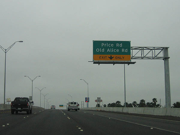
Advance signage for Price Road and Old Alice Road. Photo taken February 19, 2006.
|

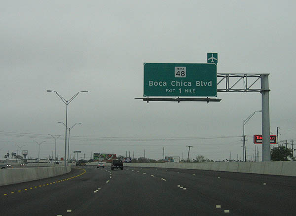
Elevated above the city, this sign denotes SH 48 as the next exit. Photo taken February 19, 2006.
|

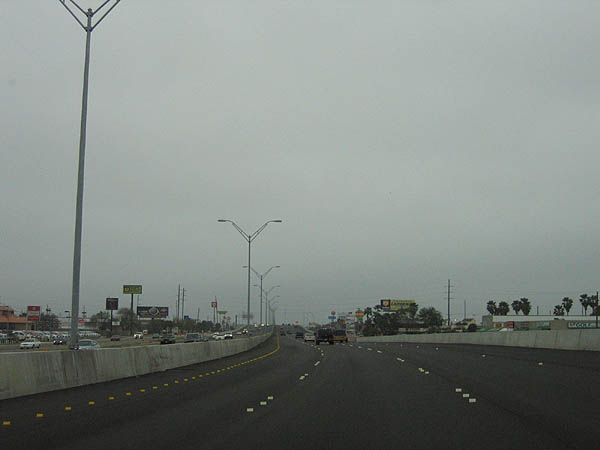
Another view of US 77/83, now six lanes with a high jersey barrier. Photo taken February 19, 2006.
|

SH 48, Boca Chica Boulevard travels northeast to meet SH 100 at Port Isabel. Use SH 48 to reach South Padre Island. Photo taken February 19, 2006.
|

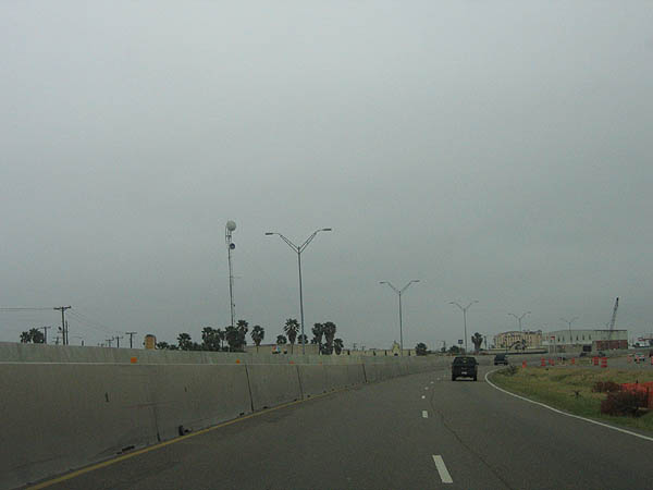
This is a view of US 77/83 just past SH 48. Photo taken February 19, 2006.
|

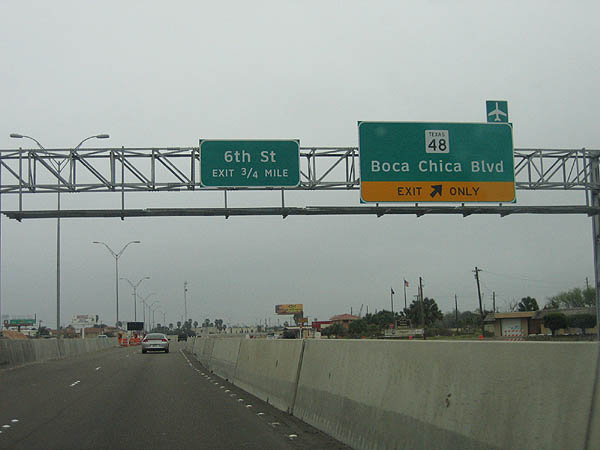
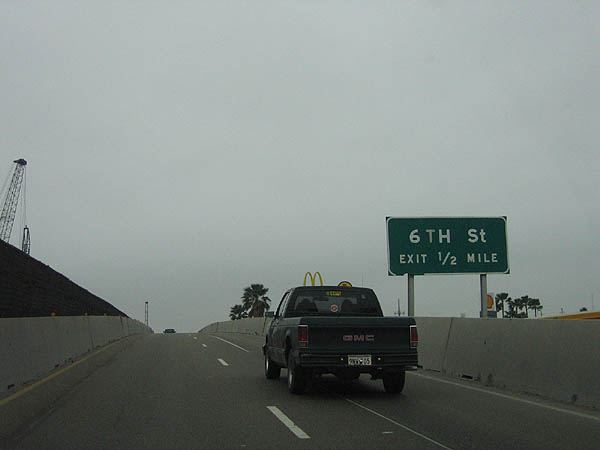
The next exit is 6th Street. Photo taken February 19, 2006.
|

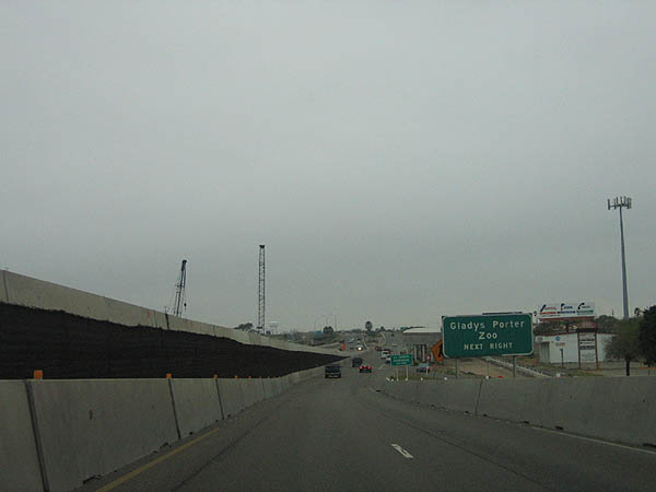
There is a viaduct before reaching 6th street, as seen in this picture. Photo taken February 19, 2006.
|

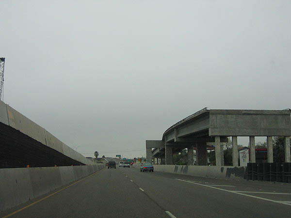
A new overpass is being constructed at 6th street, as seen in this picture. Photo taken February 19, 2006.
|

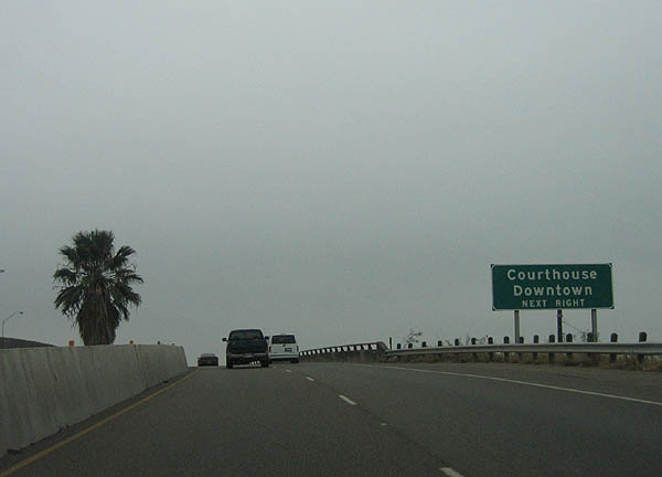
Use the next exit (12th/14th street) to reach downtown Brownsville. Photo taken February 19, 2006.
|

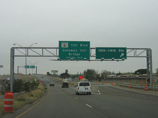
12th and 14th streets exit here. The next exit is SH 4. Photo taken February 19, 2006.
|

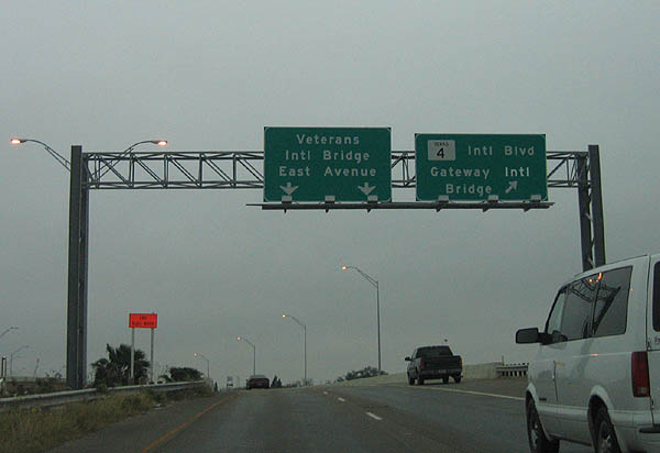
Until 2004, this was the end of the US 77/83 freeway. Today it is the separation between SH 4, which travels to Boca Chica and Gateway International Bridge. Photo taken February 19, 2006.
|


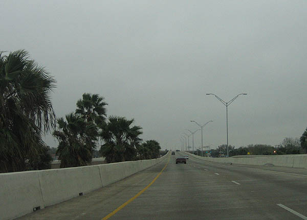
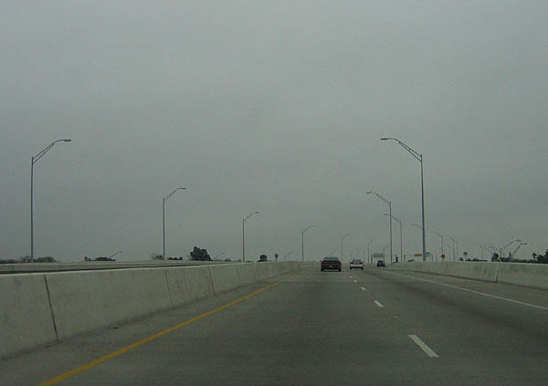
US 77/83 crosses over Lincoln Park on a viaduct. Photo taken February 19, 2006.
|

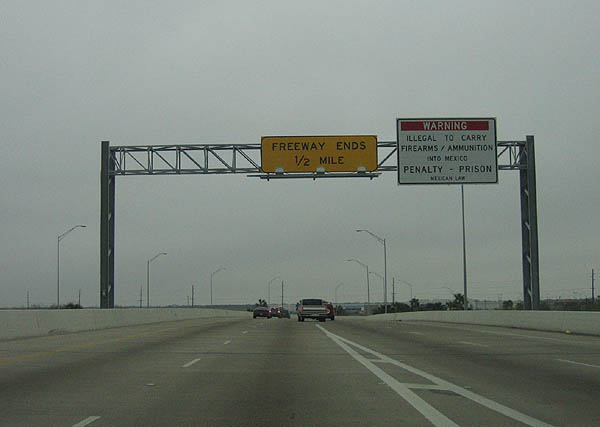
The US 77/83 freeway ends in 1/2 mile. Photo taken February 19, 2006.
|

Leaving the viaduct, US 77/83 has a sweeping turn to reach the East road signal. Photo taken February 19, 2006.
|

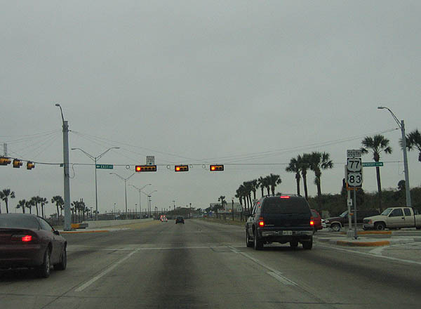
The last road junction is East Road. Notice the reassurance marker. Photo taken February 19, 2006.
|

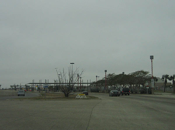
US 77/83 ends at the US/Mexico border, just before the Veterans Memorial Bridge and at the Border Patrol checkpoint. Photo taken February 19, 2006.
| | | | | | | | | | | | | | | | | | | | | | | | | | | | | | | | | | | | | | | | | | | | | | | | | | | | | |