

U.S. Highway 380 West - Graham to Haskell
| U.S. 380 west | |
|---|---|

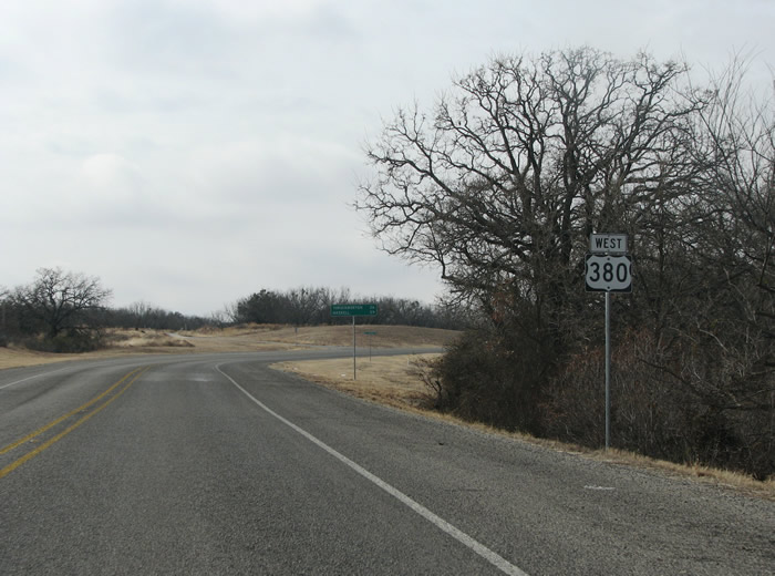
A US 380 westbound reassurance marker north of Graham. Photo taken 01/25/08. |
|

This sign notes the distance to the next populated place, Newcastle, which is 13 miles west. Photo taken 01/25/08. |
|

Oil and Cattle are important here, as the US highway makes a northward loop while heading west. The loop avoids some hills, and keeps US 380 fairly level. Photo taken 01/25/08. |
|

FM 1769 runs northward to the town of Jean, the road even has a few cattle guards on it. Photo taken 01/25/08. |
|

This view looks west towards Newcastle. Photo taken 01/25/08. |
|

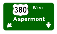
This view looks west into Newcastle, with some hills beyond. Newcastle started in 1908 as a coal mine - and was named for the British coal mining city Newcastle-upon-Tyne. Photo taken 01/25/08. |
|

In town, US 380 makes a southward turn again to avoid some hills. FM 926 connects the US highway with SH 251, just two blocks to the west. Photo taken 01/25/08. |
|

Motorists can continue straight ahead to points north and northwest. Downtown Newcastle has a quaint small town feel to it, with a few cafes and non-chain stores to peruse. Photo taken 01/25/08. |
|

This view looks westward into Newcastle as US 380 takes a turn to the south. Photo taken 01/25/08. |
|

South of Newcastle, FM 61 runs eastward as an alternate route to Graham. The road runs through hills and through oil country. Photo taken 01/25/08. |
|
A US 380 westbound reassurance marker south of Newcastle. Photo taken 01/25/08. |
|
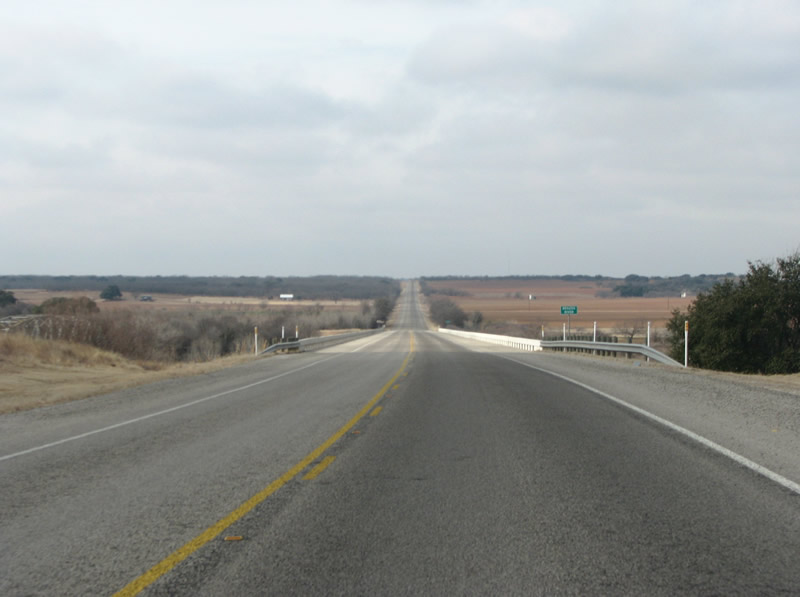
US 380 westbound at the Brazos River, this "new" bridge was constructed in 1980, and passes over the Brazos Valley. The Brazos is one of the most important rivers in the state, and runs south to the gulf. Its valley was one of the first parts of Texas settled by Europeans. Photo taken 01/25/08. |
|

This view looks west along US 380 west of the Brazos. East of the river, the route climbs and gets ever more arid. Photo taken 01/25/08. |
|
FM 578 runs southward to Breckenridge and US 183 / 180. Photo taken 01/25/08. |
|
After a brief overlap, FM 578 continues northward to SH 79. Texas frequently uses the "JCT FM..." nomenclature on directional signs like this one. Photo taken 01/25/08. |
|

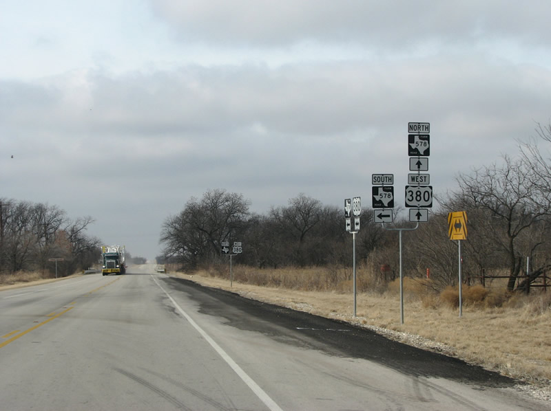
US 380 westbound at FM 578 northbound. Photo taken 01/25/08. |
|

A US 380 westbound reassurance marker in western Young County, now FM free. Photo taken 01/25/08. |
|

Now in a mesquite tree forest, a mileage sign indicates the 15-mile distance to the next town at Throckmorton. Photo taken 01/25/08. |
|

The next county encountered along the US highway is Throckmorton. The county, originally a Comanche indian reservation, was organized in 1879 and named for early settler William E. Throckmorton. Photo taken 01/25/08. |
|

US 380 in the eastern part of the county has been recently resurfaced with new asphalt. This reassurance shield was probably replaced in 2007. Photo taken 01/25/08. |
|

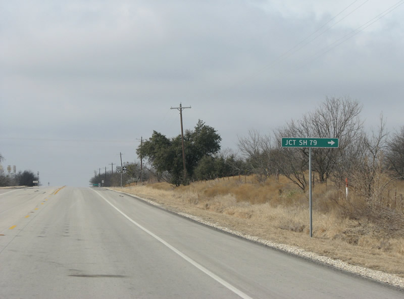
The first FM road encountered in the county is FM 1711. It runs northward to SH 79 through brush country. Photo taken 01/25/08. |
|

Throckmorton is encountered not soon after FM 1711. The town is the seat of government and only town in the county - it is known far and wide as a good place to go deer hunting. Photo taken 01/25/08. |
|

US 183/283 are encountered in town. Photo taken 01/25/08. |
|

This view looks west at the control points sign for US 183/283 in Throckmorton. US 183 eventually makes it to Austin where it becomes a major freeway. Photo taken 01/25/08. |
|

US 380 westbound at US 183/283. The county courthouse sits on the northwest corner of the intersection. SH 79 begins a few blocks north, thus, the sign should have a "to" banner. Photo taken 01/25/08. |
|

A US 380 westbound reassurance marker in Throckmorton. This is the hometown of Dallas Cowboy legend Bob Lilly. Photo taken 01/25/08. |
|

The sparseness of the countryside is made evident when leaving Throckmorton, and the next town at Haskell is 33 miles distant. Most Texas county seats, at least in the square counties, average 32 miles apart. Photo taken 01/25/08. |
|

US 380 westbound reassurance marker in western Throckmorton County. Photo taken 01/25/08. |
|

West of town, the mesquite tree forests clear out and the land opens up to provide sweeping views of the central plains. Traffic here is nearly non-existant. Photo taken 01/25/08. |
|

A flashing yellow light some miles west of Throckmorton indicates the intersection with SH 222. SH 222 runs northwest through Munday to US 82. Photo taken 01/25/08. |
|

A US 380 westbound reassurance marker west of SH 222. Photo taken 01/25/08. |
|

The next county encountered is Haskell. Like Throckmorton, the county seat has the same name. The county was named for Charles Haskell, who died in the Goliad Massacre of the Texas Revolution. Photo taken 01/25/08. |
|

US 380 hits a few FM roads in the eastern part of Haskell County, this view looks west at FM 618. The FM road runs south to Lake Stamford and cattle ranches. Photo taken 01/25/08. |
|

US 380 westbound reassurance marker west of FM 618. Cotton trash lines the road here, telling the motorist this is cotton country. Photo taken 01/25/08. |
|

As Haskell is encountered, so is FM 600. FM 600 runs southeast to Lake Stamford and SH 6. Photo taken 01/25/08. |
|

An overpass is seen as US 380 nears US 277 in Haskell. Photo taken 01/25/08. |
|

As part of the upgrading of US 277 from Abilene to Wichita Falls, Haskell got a freeway bypass which opened in 2007. This view looks west at US 277 northbound. Photo taken 01/25/08. |
|

Under the US 277 bridge, motorists can turn left to take US 277 south to Stamford. Photo taken 01/25/08. |
|

US 380 at US 277 southbound with downtown Haskell in the distance. Photo taken 01/25/08. |
|

US 380 westbound enters downtown Haskell. The downtown square is busy here on a Friday. Photo taken 01/25/08. |
|

Page Updated February 9, 2008.
|
About Contact FAQ |
Spotlights Testimonials Interstate Guide |
Social Media:
 |
|
© 2000-23 AARoads.com | All Rights Reserved | Privacy Policy / Terms of Use
|
||