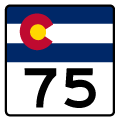
Colorado State High's 75 follows Platte Canyon Road north from a RIRO intersection with C-470 to Bowles Avenue through the southern suburbs of Denver. SH 75 formerly extended further east along Bowles Avenue and Littleton Boulevard through the city of Littleton and north along Broadway to U.S. 285 (Hampden Avenue). The section of SH 75 between U.S. 85 (Santa Fe Drive) and Broadway was decommissioned by the late 1990s. The remainder along Bowles Avenue was dropped from the system in 2010. The segment on Broadway was subsequently decommissioned in 2011.1
|
| Bowles Avenue east at the north end of SH 75 (Platte Canyon Road). The state highway previously turned east here to Downtown Jefferson. 11/12/03 |
|
| SH 75 was already unsigned by 2003 as it followed Bowles Avenue east from Platte Canyon Road to Federal Boulevard north at this intersection. 11/12/03 |
|
| Bowles Avenue (old SH 75) spans the South Platte River just ahead of U.S. 85 (Santa Fe Drive) in Littleton. The city of Littleton was founded in 1890 with an original population of 245 residents. By the centennial in 1990, the population of Littleton had grown to 33,661 people. 11/12/03 |
|
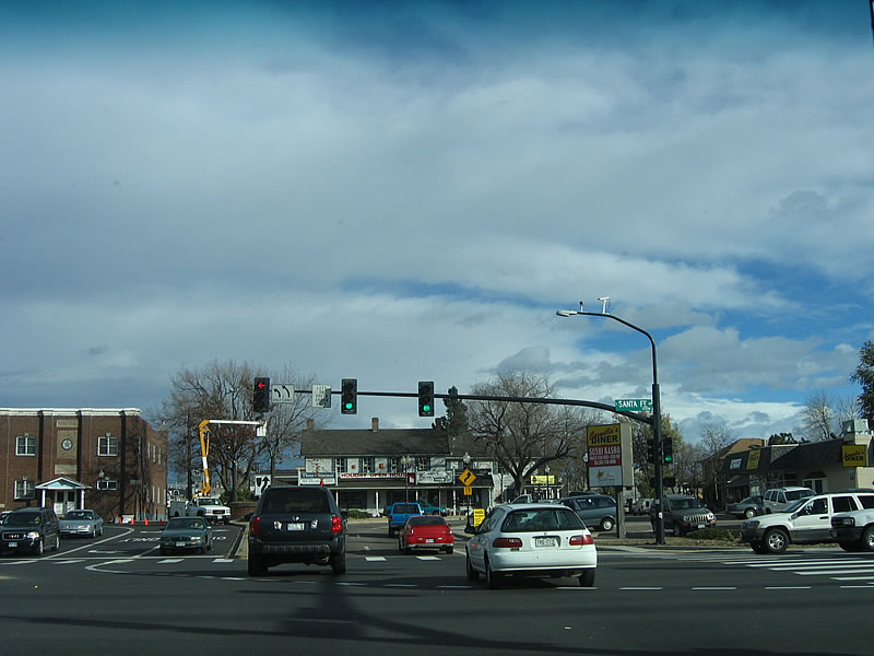
| SH 75 formerly ended at U.S. 85 (Santa Fe Drive). Bowles Avenue continues across Santa Fe Drive and separates into Alamo Avenue east and Main Street west through Downtown Littleton. 11/12/03 |
|
| The Alamo Avenue / Main Street couplet unifies after crossing the BNSF Railroad tracks as Littleton Boulevard. Pictured here is former SH 75 east at Prince Street. 11/12/03 |
|
| As Alamo Avenue crosses over the BNSF railroad tracks, the Arapahoe County Courthouse comes into view. Built in 1907 and 1908, the courthouse was dedicated on January 17, 1908. Although it briefly fell out of use between 1987 and 1998, it was restored and opened again as a governmental building (the Municipal Courthouse) on May 13, 2000. 11/12/03 |
|
| A series of strip malls and commercial areas ensue along Littleton Boulevard east from the court house to Datura Street. 11/12/03 |
|
| Broadway north from Littleton Boulevard remained as SH 75 until Fall 2011. It followed Broadway to Rafferty Gardens Avenue until that time.1 11/12/03 |
|
| Car dealerships, strip malls, restaurants and antique stores line Broadway north through the city of Littleton. A former reassurance shield for SH 75 north appeared on this stretch. 11/12/03 |
|
| Broadway continues north as a seven lane commercial boulevard from Powers Avenue toward SH 88 (Belleview Avenue). 11/12/03 |
Page Updated 05-01-2017.

 North
North