|
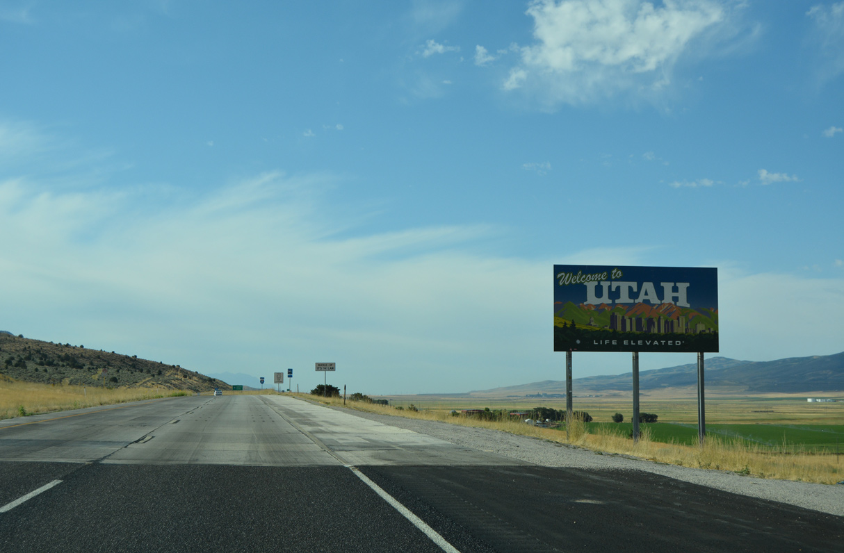
| Interstate 15 enters the Beehive State at Box Elder County south through Malad Valley. 08/10/16 |
|
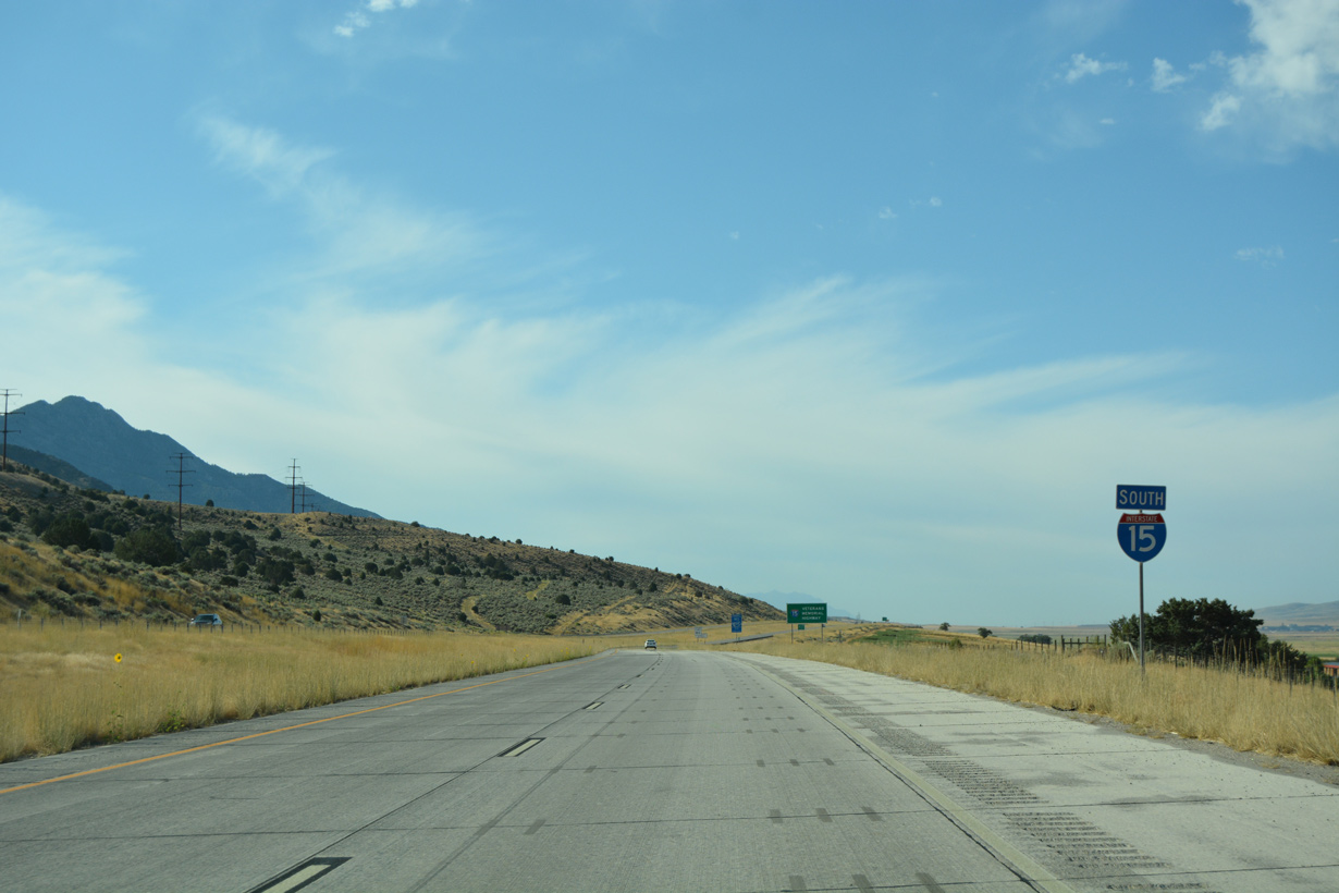
| Interstate 15 parallels old U.S. 191 to the east of Oregon Springs. 08/10/16 |
|
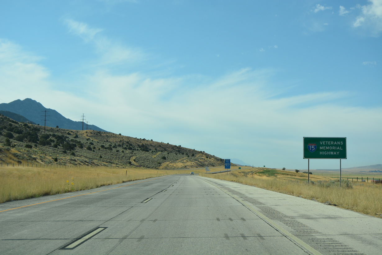
| Throughout Utah, Interstate 15 is designated as the Veterans Memorial Highway. 08/10/16 |
|
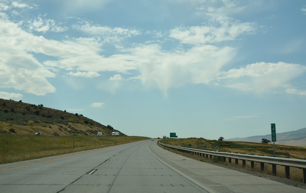
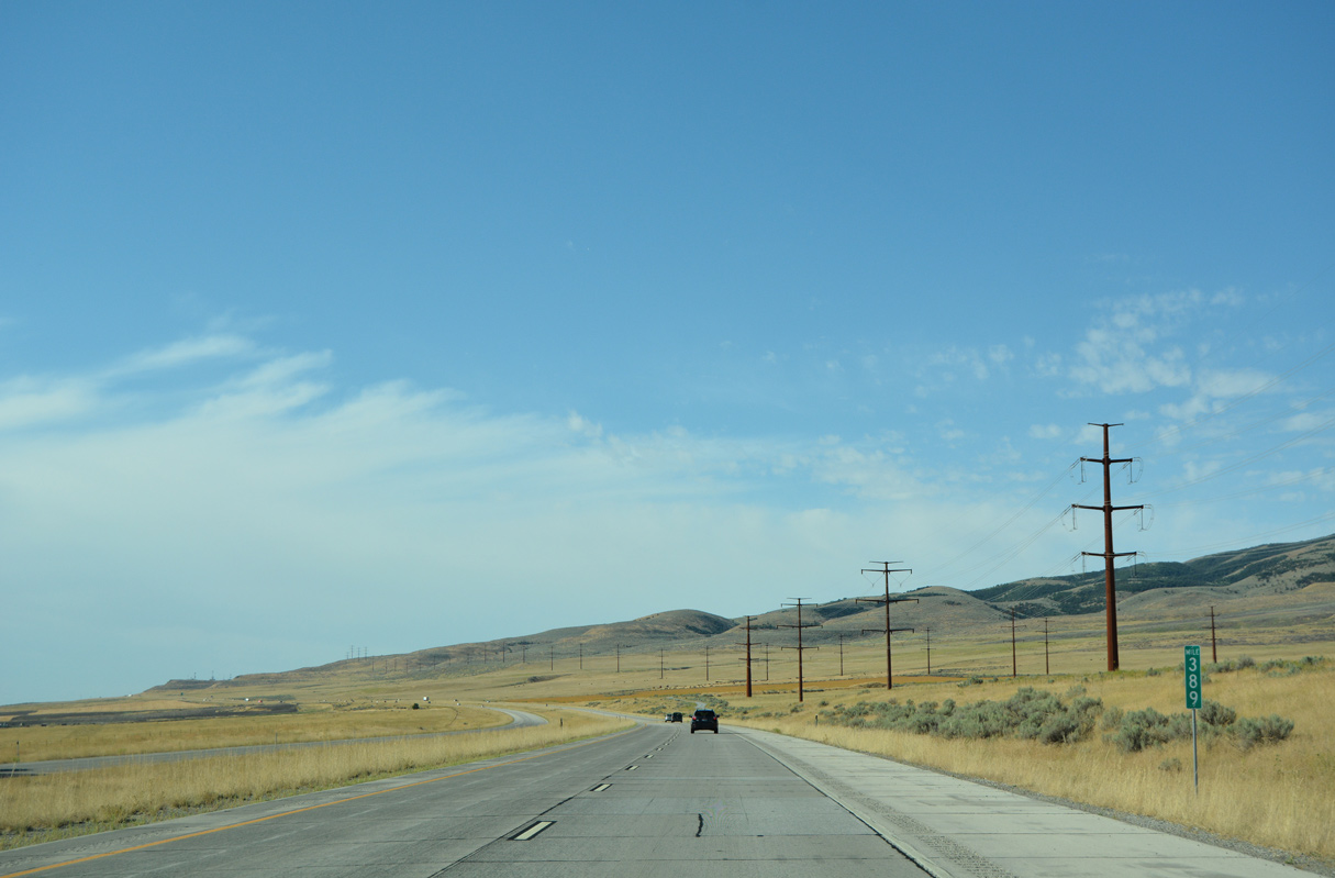
| Interstate 15 in Utah is 400.89 miles in length. Mile marker 400 appears west of Sheep Dip Mountain (el. 7,044 feet). 07/08/16 |
|
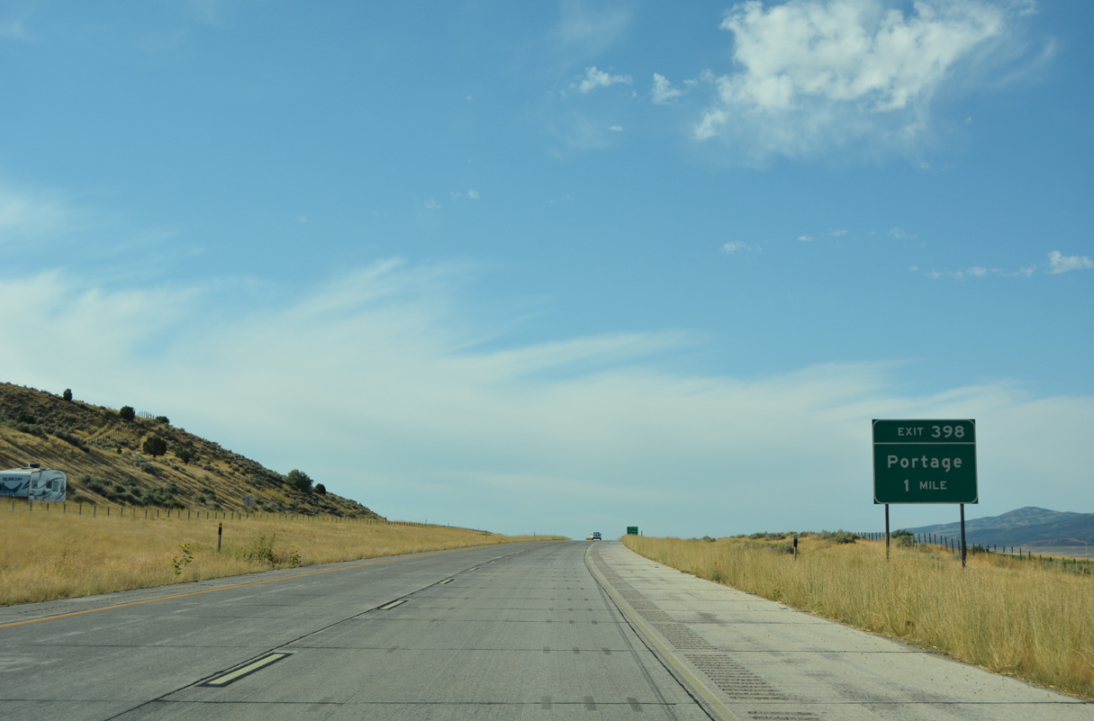
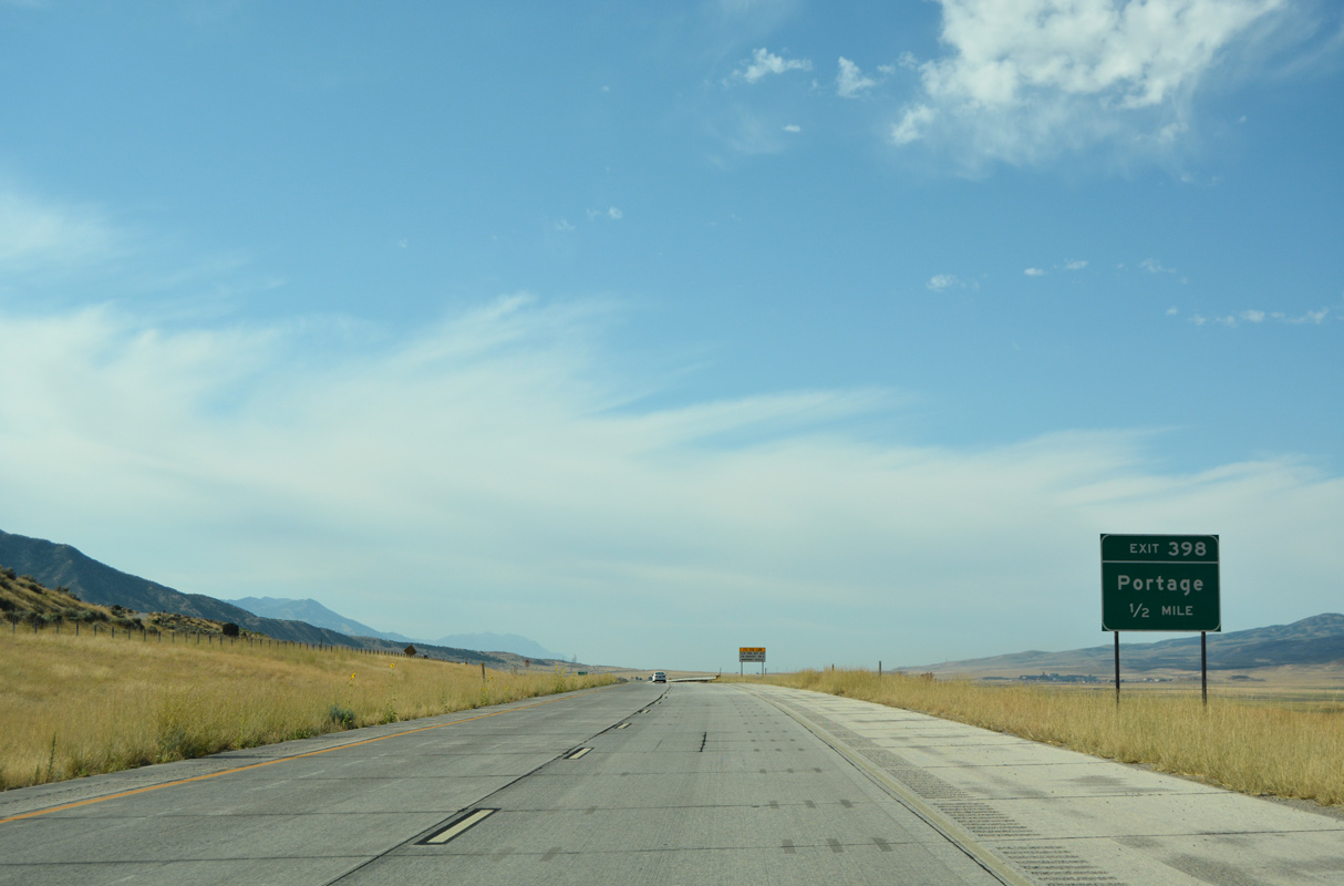
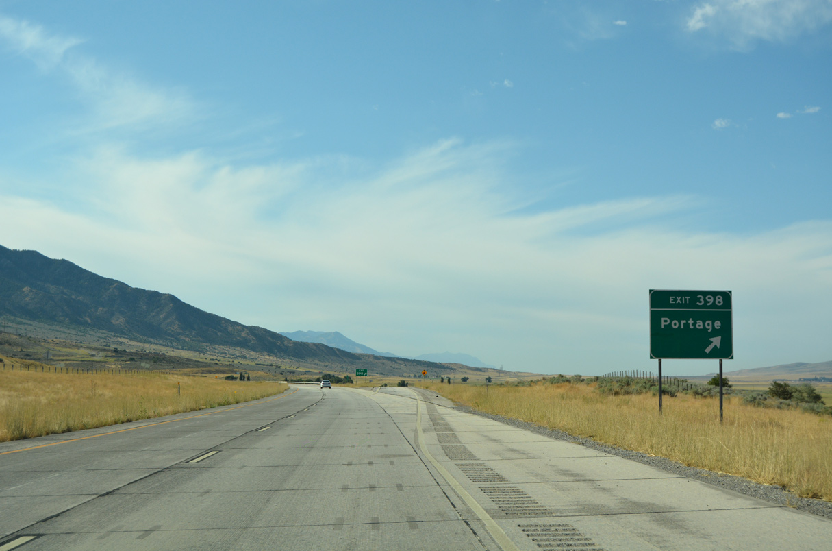
| 25800 North stems west from forthcoming Exit 398 to the town of Portage. 08/10/16 |
|
| 25800 North was formerly State Route 90 west from the adjacent Frontage Road (old U.S. 191) to 8800 West in Portage. 08/10/16 |
|
| The diamond interchange at Exit 398 lies west of Clarkston Mountain and east of the Malad River. 08/10/16 |
|
| Clarkston Mountain (el. 8,008 feet) and Gunsight Peak (el. 8,179 feet) rise southeast of mile marker 398. 07/08/16 |
|
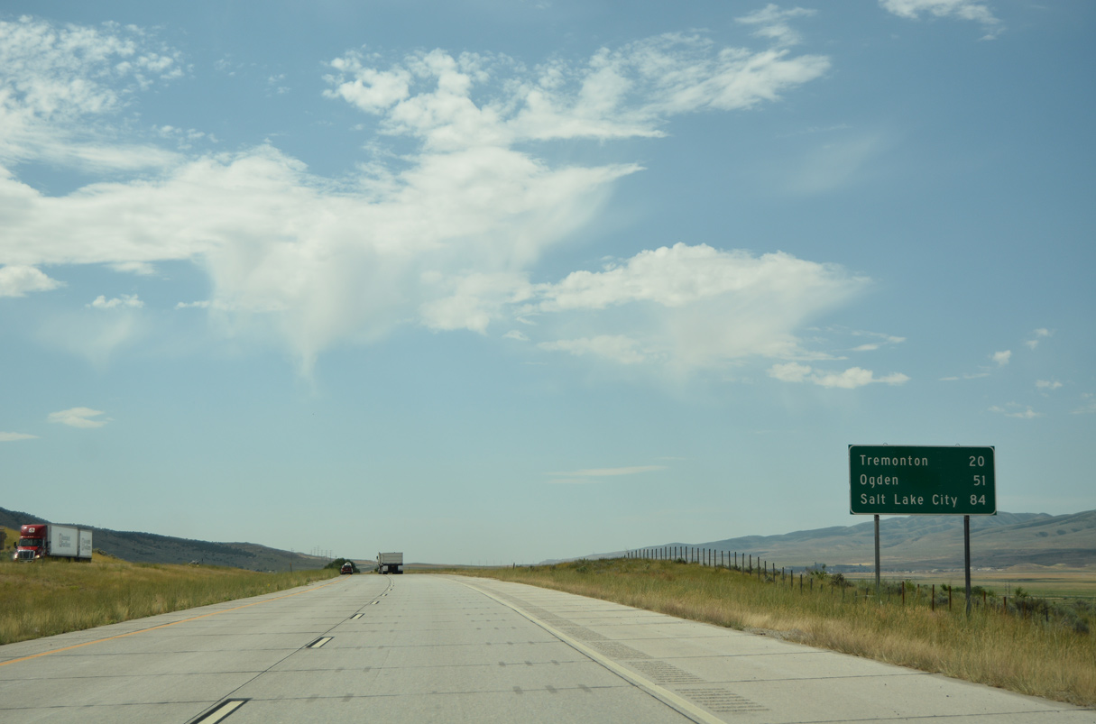
| Salt Lake City is often abbreviated as Salt Lake on guide signs throughout the state of Utah. Newer assemblies usually spell out the full city name. 07/08/16 |
|
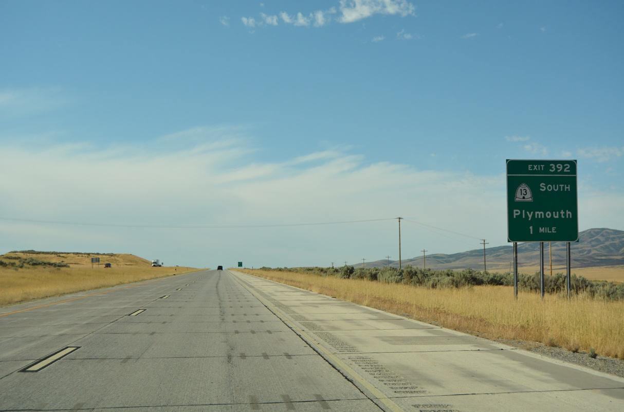
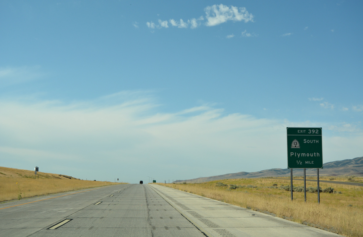
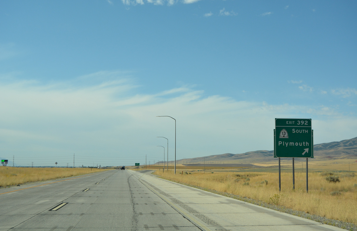
| SR 13 commences south from the succeeding exit along Interstate 15. The state route follows old U.S. 191 from the nearby town of Plymouth to U.S. 89/91 in Brigham City. 08/10/16 |
|
| SR 13 stays east of I-15 to Tremonton, where it becomes part of Business Loop I-15/84 south to Exit 376. 08/10/16 |
|
| SR 13 travels 33.18 miles overall from Plymouth south to Corinne and east to Brigham City. 08/10/16 |
|
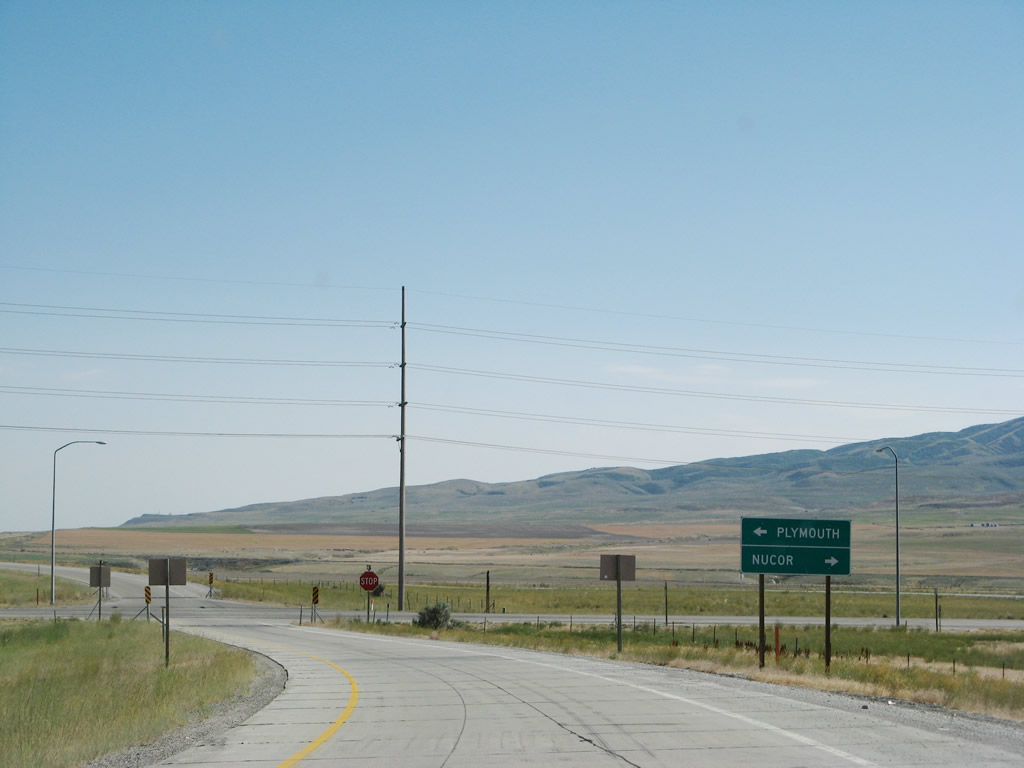
| 20800 North spurs west from the diamond interchange (Exit 392) joining I-15 and SR 13 to the Nucor steel plant. 07/13/08 |
|
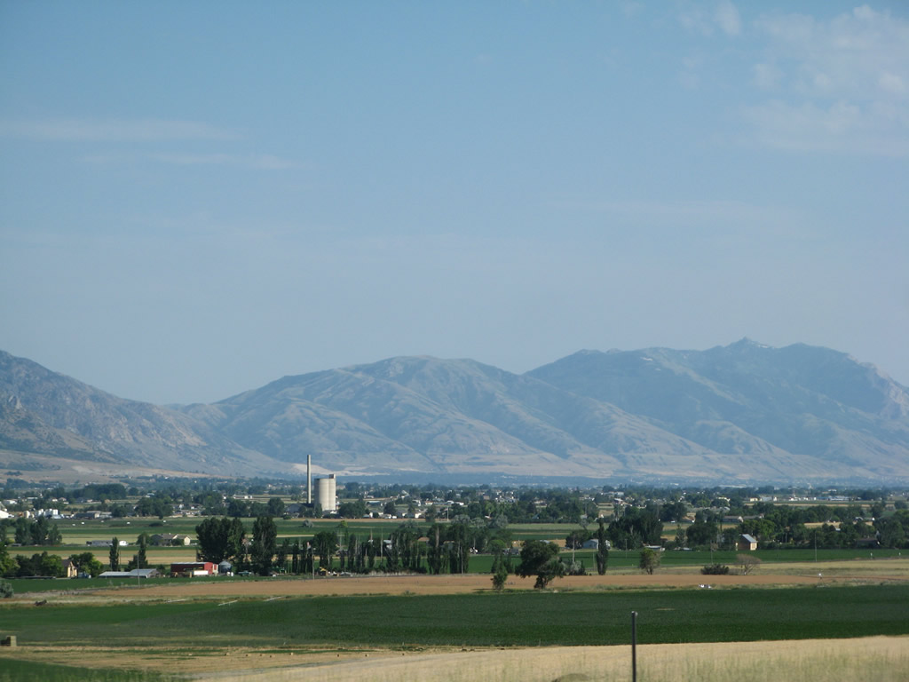
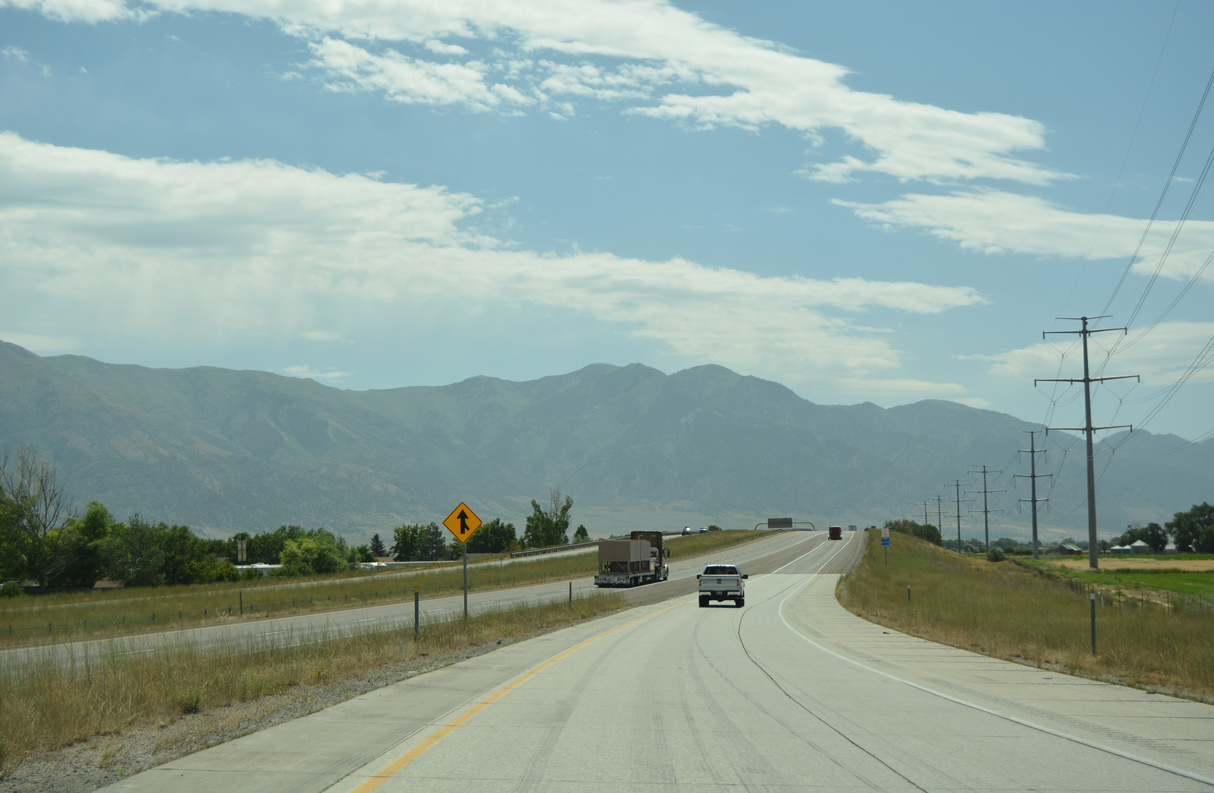
| The West Hills spread along the horizon beyond the parallel Malad River. 08/10/16 |
|
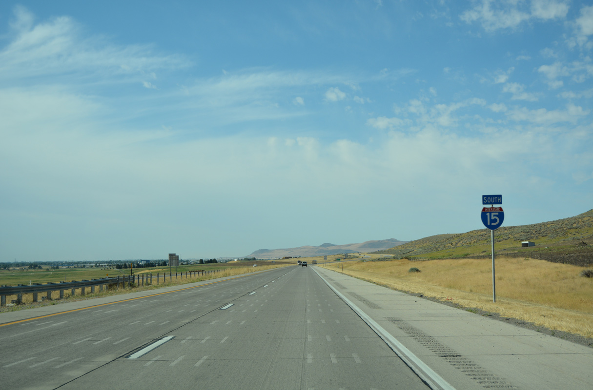
| Interstate 15 south crosses the Malad River at mile marker 391 beyond this confirming shield. 08/10/16 |
|
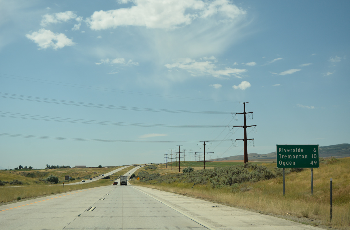
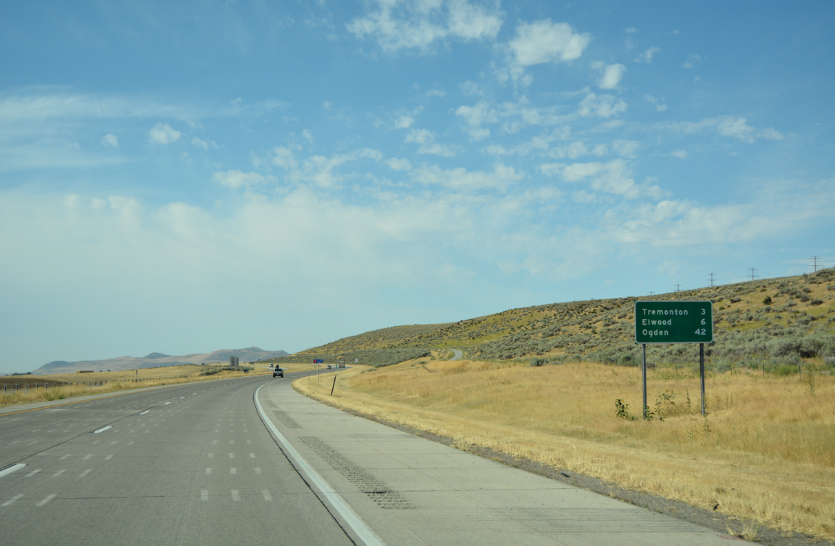
| The separation between Tremonton and Ogden decreased by two miles from the preceding distance sign posted after Exit 398. 07/08/16 |
|
| Interstate 15 south into Bear River Valley was the last section of I-15 constructed in the state of Utah. 08/10/16 |
|
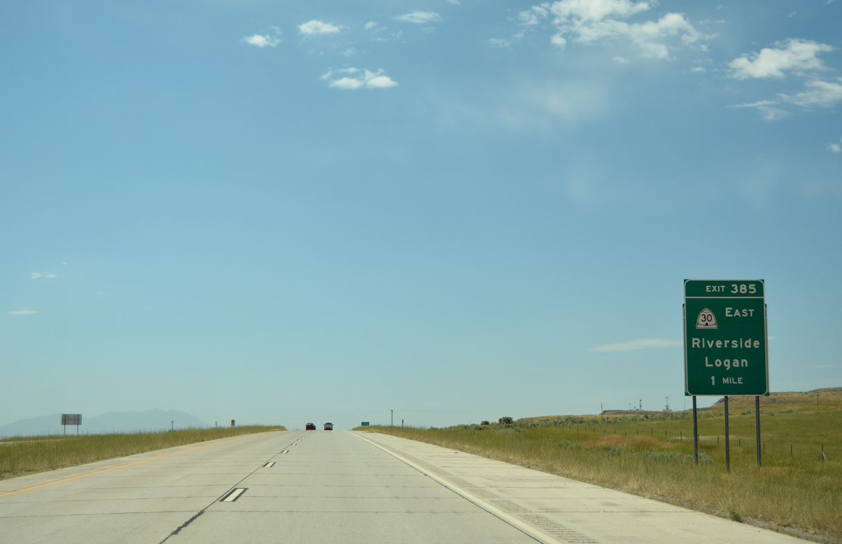
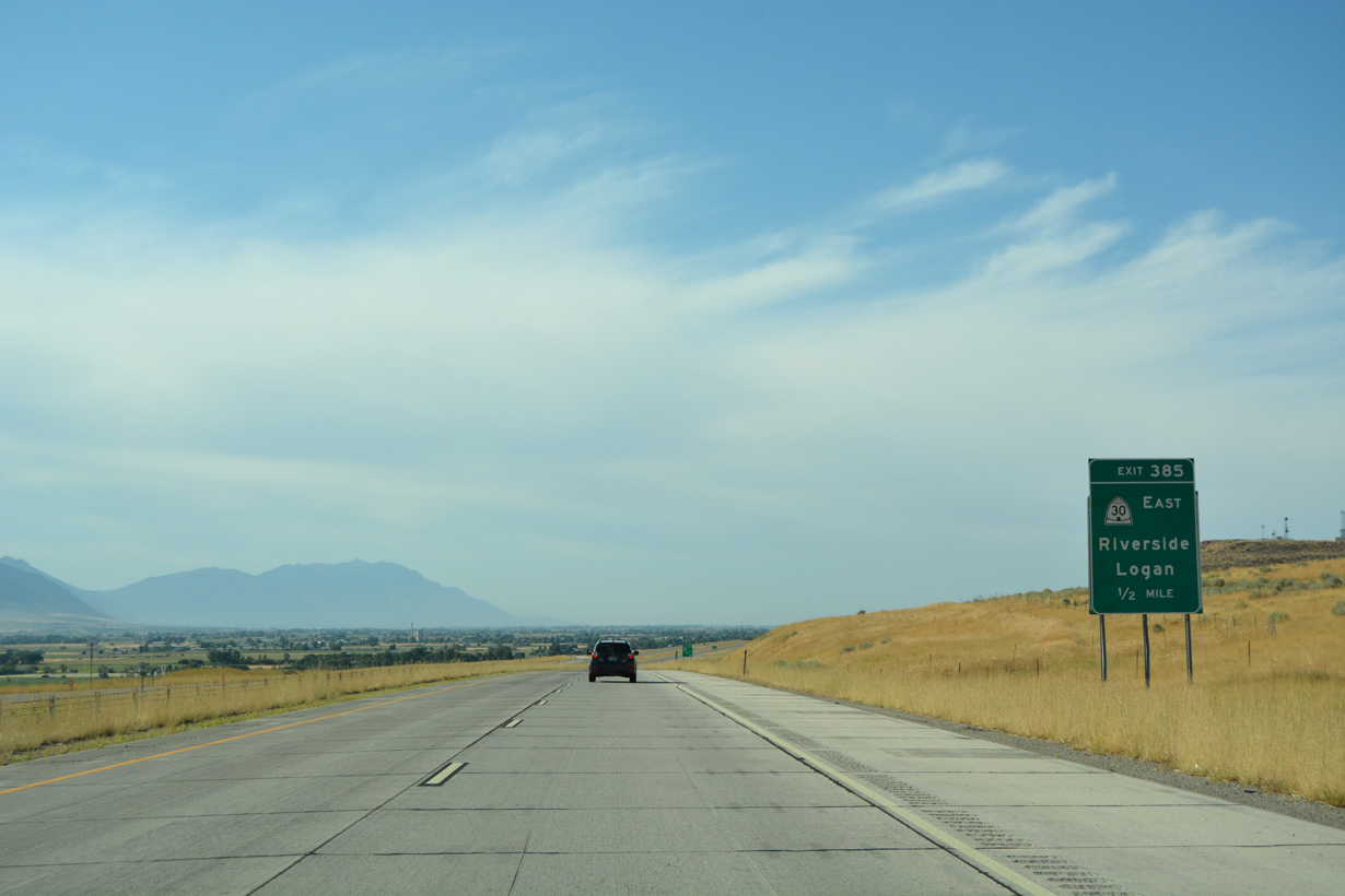
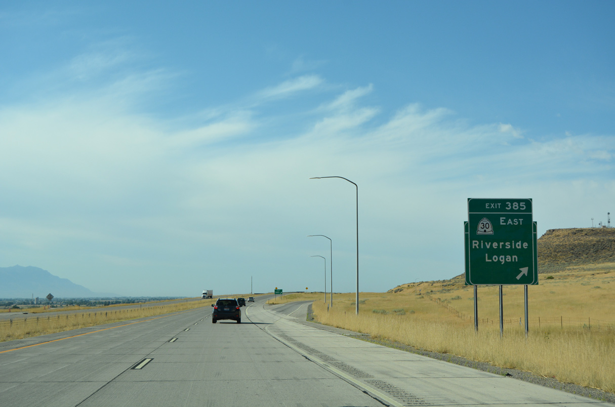
| The central section of State Route 30 runs 19.40 miles east from I-15 at Exit 385 and U.S. 89/91 in Logan. 07/08/16 |
|
| Collectively the three sections of SR 30 measure 135.76 miles from Nevada State Route 233 and WYO 89 near Sage Creek Junction. The western leg heads southwest from I-84 near Snowville to Park Valley. The eastern segment arcs southeast from U.S. 89 at Garden City. 08/10/16 |
|
| Entering the diamond interchange (Exit 385) with SR 30 east on I-15 south. An inferred overlap with I-15 south and I-84 northwest leads to the western segment of SR 30. 08/10/16 |
|
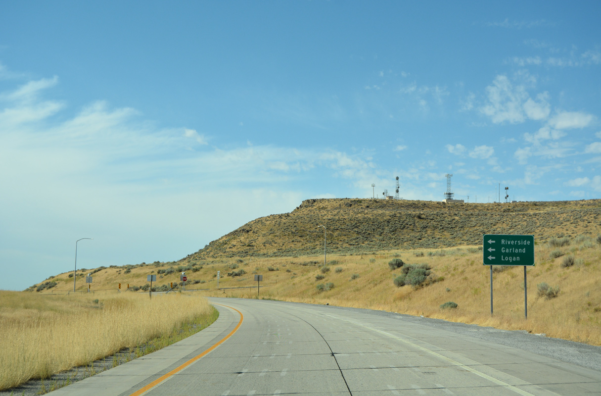
| SR 30 (15200 North) east to SR 13 (old U.S. 191 / 5400 West) south leads to the city of Garland. SR 81 spurs 2.49 miles north from SR 30 into the town of Fielding. 08/10/16 |
|
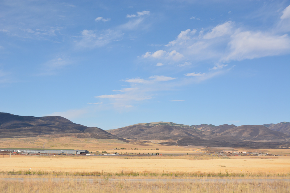
| The unincorporated community of Riverside comes into view east of I-15 along SR 30 (15200 North). 07/13/08 |
|
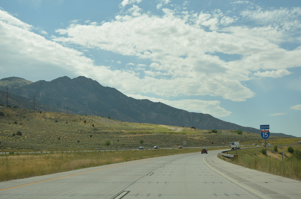
| Interstate 15 advances south between the Point Lookout Mountains and city of Garland. 08/10/16 |
|
| The city of Tremonton and town of Elwood are located next to one another along I-15/84 in Bear River Valley. 08/10/16 |
|
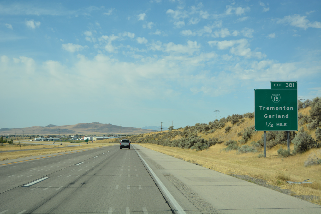
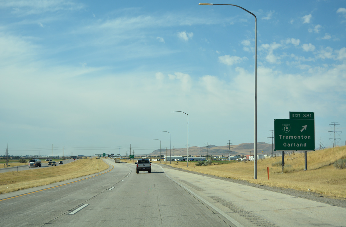
| The first Business Loop for I-15 in Utah branches east from Exit 381 along 1000 North in Tremonton. 07/08/16 |
|
| Business Loop I-15 is locally maintained along 1000 North east from Exit 381 and 1000 West south to the Box Elder County Fairgrounds and Business Loop I-84/SR 102 (Main Street). 08/10/16 |
|
| 1000 North leads east to SR 82 (Main Street) in Garland. Business Loop I-15 combines with Business Loop I-84 along Main Street east in Tremonton. The pair turn south along SR 13 (old U.S. 191 / 1600 East) to Elwood and I-15/84 at Exit 376. 07/08/16 |
|
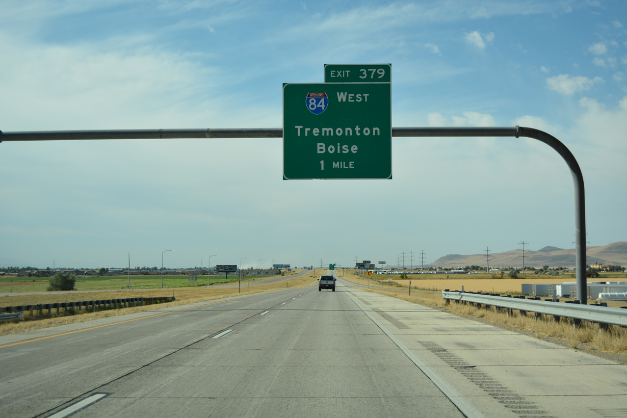
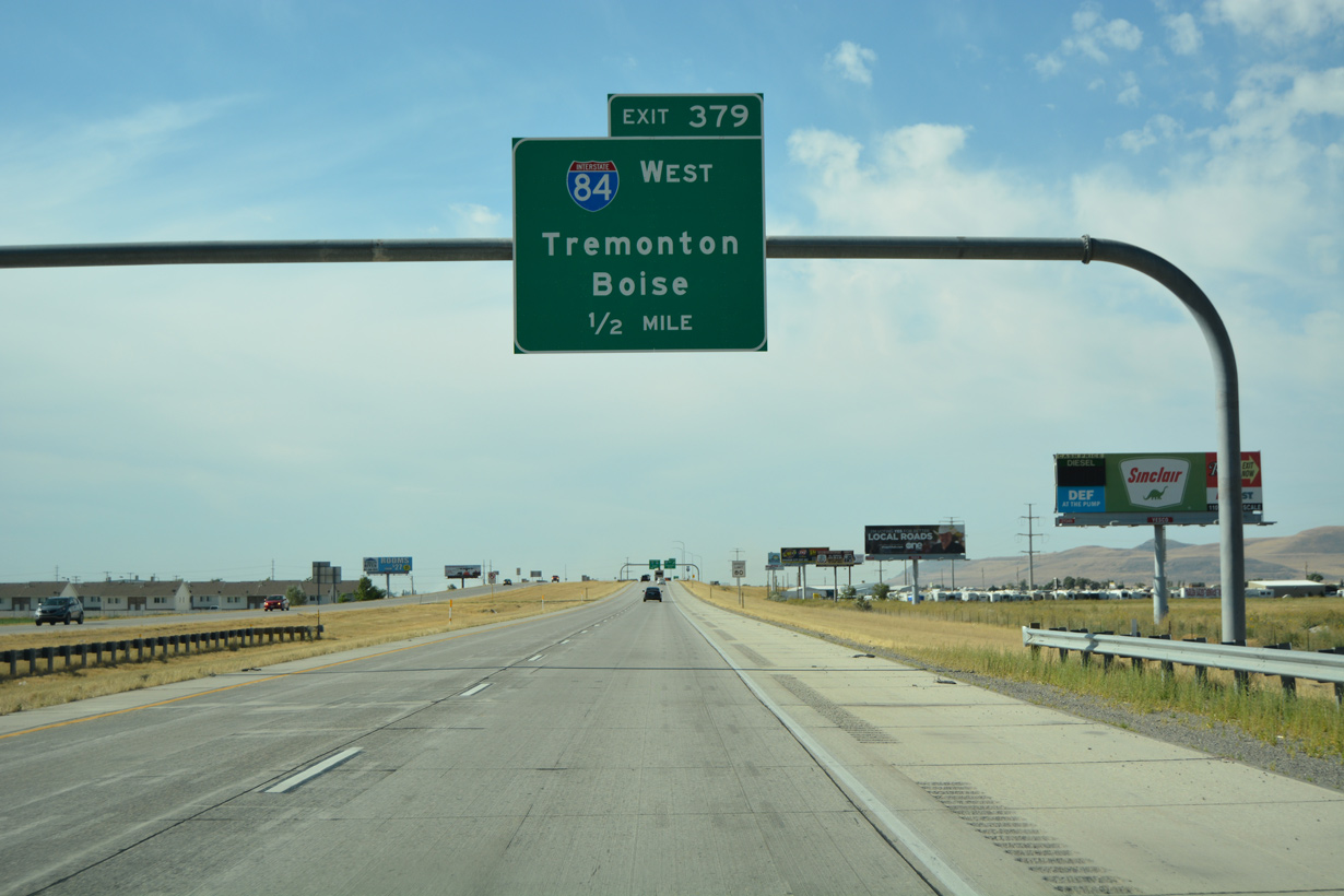
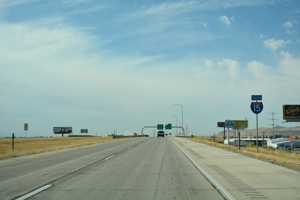
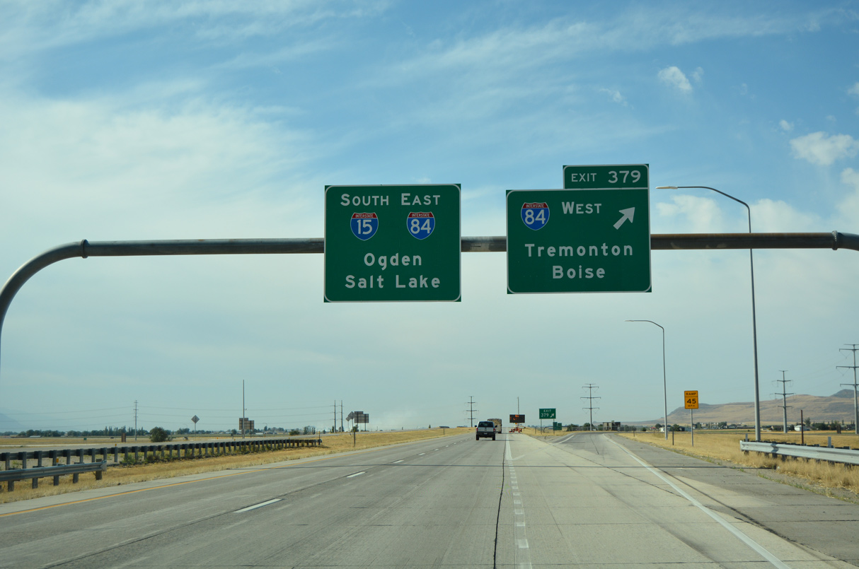
| Interstate 15 south converges with I-84 east at Exit 379 in one mile. 08/10/16 |
|
| Interstate 84 joins northern Utah with Boise, Idaho, Portland, Oregon and the Pacific Northwest Region. Generally replacing U.S. 30S and U.S. 30, I-84 was designated as I-80N until 1980. 08/10/16 |
|
| Business Loop I-84/SR 102 (Main Street) pass under I-15 beyond this confirming marker in Tremonton. 08/10/16 |
|
| Interstate 84 travels northwest into Idaho beyond Snowville. I-84 accompanies U.S. 30 west ahead of Burley and Twin Falls. The two routes commingle northwest to Pendleton, Oregon and along the Columbia River to The Dalles and Hood River. 08/10/16 |
|
| I-15 southbound makes a sweeping curve at the trumpet interchange (Exit 379) with Interstate 84. 08/10/16 |
|
| A lane drop occurs along Interstate 15 south at the 1000 West underpass preceding the merge onto I-84 eastbound. 07/08/16 |
|
| Interstate 15 joins I-84 east beyond mile marker 379 in Tremonton. 07/08/16 |
Page Updated 02-08-2022.

 South
South