|
| Interstate 25 enters Dona Aña County just beyond the entrance ramp from NM 546 at Exit 51. 04/25/17 |
|
| The initial stretch along I-25 south through northern Dona Aña County traverses Garfield Canyon. The village of Hatch lies ten miles to the south. 04/25/17 |
|
| Interstate 25 passes above the community of Salem between mileposts 46 and 43 to the east. 04/25/17 |
|
| Lowering into Rincon Valley, Interstate 25 turns east ahead of a diamond interchange (Exit 41) with NM 26 west. 04/25/17 |
|
| NM 26 constitutes a 47.86 mile long highway connecting IH 25 with U.S. 180 west to Silver City and IH 10 west to Lordsburg. 04/25/17 |
|
| Exit 41 departs I-25 south for NM 26 (Franklin Street) south to NM 185 along Hall Street (old U.S. 85) in Hatch. The state road branches southwest from old U.S. 85 and NM 187 through the Uvas Valley to U.S. 180 and I-10 at Deming. 04/25/17 |
|
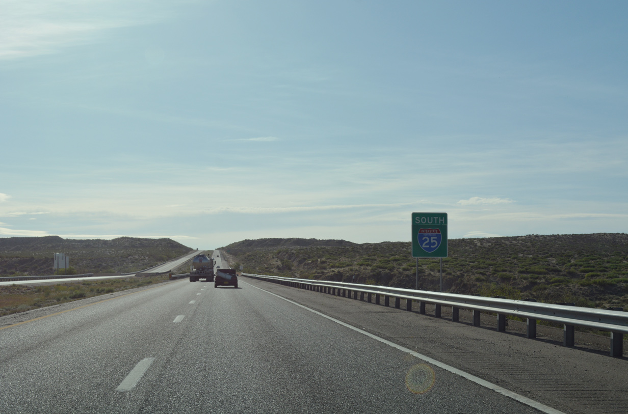
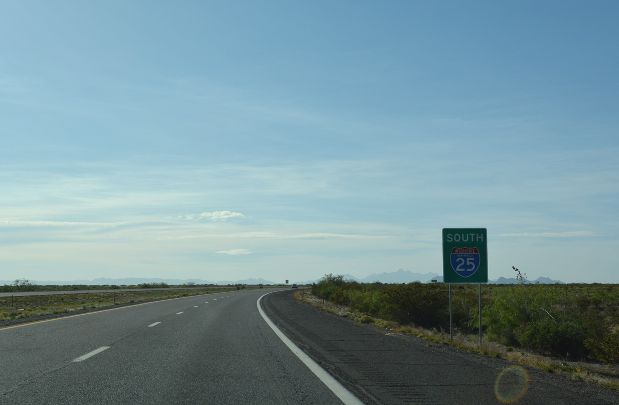
| Reassurance sign posted along I-25 east of the NM 26 entrance ramp. The freeway runs just north of the Rio Grande along this stretch. 04/25/17 |
|
| The succeeding interchange lies five miles east of Hatch at the community of Rincon. Las Cruces follows in another 31 miles. 04/25/17 |
|
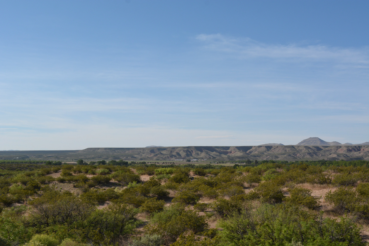
| The truss bridge carrying the Southwestern Company across the Rio Grande south appears in adjacent Rincon Valley. 04/25/17 |
|
| NM 154 (Railroad Road) parallels Interstate 25 east from NM 185 (Hall Street) in Hatch and converges with the freeway alongside Rincon Arroyo. 04/25/17 |
|
| A folded diamond interchange (Exit 35) joins Interstate 25 with NM 140 (Rincon Road) in one mile. 04/25/17 |
|
| NM 140 leads west 2.83 miles from Exit 35 to NM 185 (old U.S. 85) at Hatch. County Road E016 spurs north from the rural exchange at Rincon. 04/25/17 |
|
| Southbound Interstate 25 crosses Rincon Arroyo on a bridge built in 1965 and reconstructed in 1996. 04/25/17 |
|
| El Paso, Texas is about an hour's drive south from Rincon via I-25 and Interstate 10 east. 04/25/17 |
|
| Making a gradual southward turn, Interstate 25 approaches the ranch exit with County Road E071. 04/25/17 |
|
| Exit 32 connects Interstate 25 with the Jornada del Muerto Historic Sites along the El Camino Real National Historic Trail, a 404 mile route from El Paso, Texas, to San Juan Pueblo, New Mexico. 04/25/17 |
|
| Upham is located 16.5 miles to the north of the diamond interchange at Exit 32. 04/25/17 |
|
| Heading south from Exit 32, I-25 commences a 13.5 mile long exit less stretch to Radium Springs. 04/25/17 |
|
| Chihuahua, Mexico replaces El Paso, Texas on the ensuing distance sign southbound. The capital of the state of Chihuahua is 309 miles away via I-10 and Mexican Federal Highways 45 and 45D. 04/25/17 |
|
| Circumventing Tonuco Mountain to the east, Interstate 25 bee lines southward toward the distant Doña Ana Mountains. 04/25/17 |
|
| The US Border Patrol Checkpoint lines the I-25 northbound roadway between mileposts 28 and 27. 04/25/17 |
|
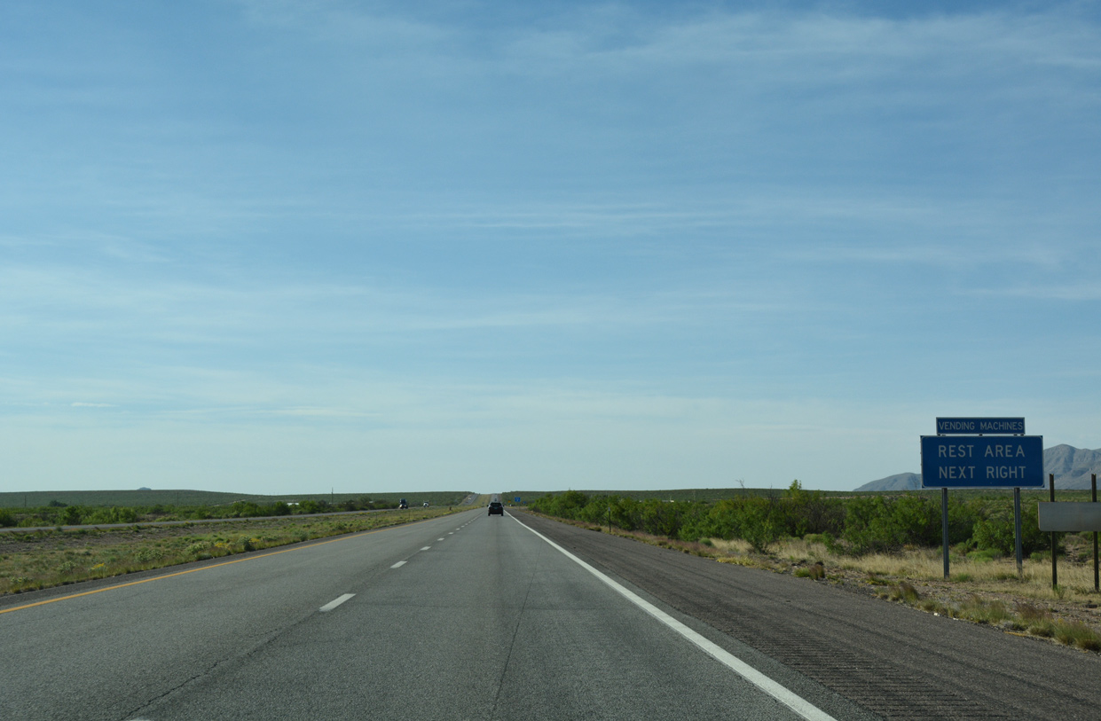
| Rest areas are located in both directions of Interstate 25 at milepost 23 east of the Seiden Hills. 04/25/17 |
|
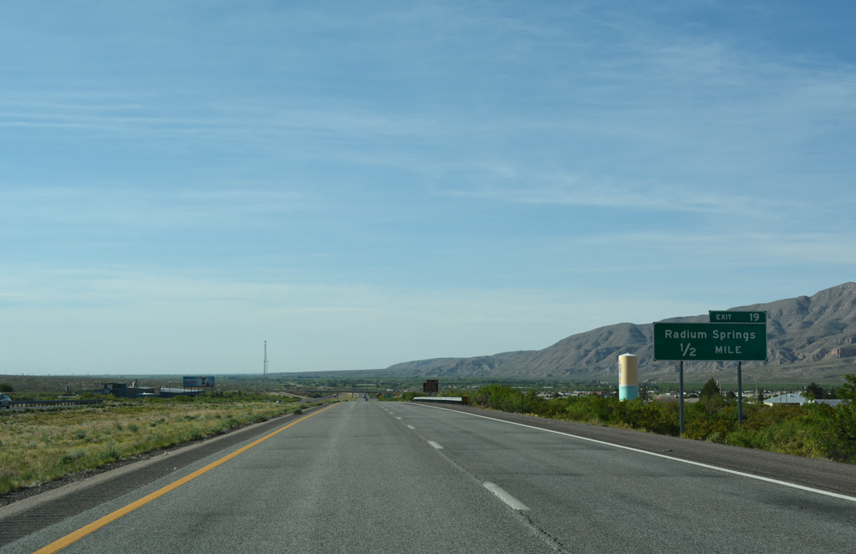
| Lowering to Exit 19 in Mesilla Valley, I-25 descends from 4,380 to 4,080 feet above sea level. 04/25/17 |
|
| Although not marked on guide signs, Exit 19 joins Interstate 25 with the east end of NM 157 (Fort Selden Road). NM 157 angles 1.74 miles southwest through the community of Radium Springs to NM 185 (Valley Drive). 04/25/17 |
|
| Exit 11 departs I-25 south for NM 157 south to Radium Springs, Fort Selden Historic Site and Leasburg Dam State Park. Fort Bayard Road ties into the diamond interchange from the east. 04/25/17 |
|
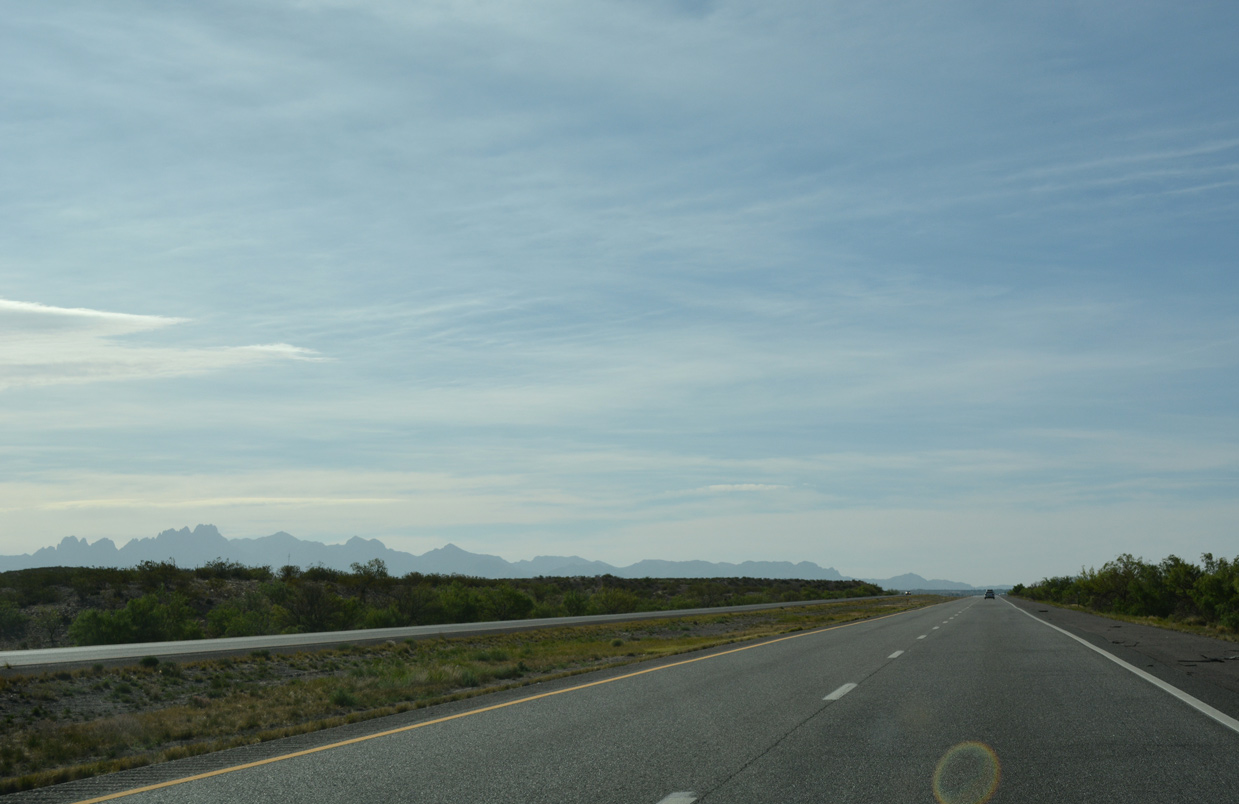
| Interstate 25 runs along the western foothills of the Doña Ana Mountains above Mesilla Valley, nine miles south to the unincorporated community of Doña Ana. 04/25/17 |
|
| Lookout Peak punctuates the Robledo Mountains to the west of the Rio Grande and Mesilla Valley. 04/25/17 |
|
| The Organ Mountains spread to the southeast as Interstate 25 advances toward Doña Ana. 04/25/17 |
|
| NM 320 (Thorpe Road) meets Interstate 25 at a diamond interchange (Exit 9) in Doña Ana in one mile. 04/25/17 |
|
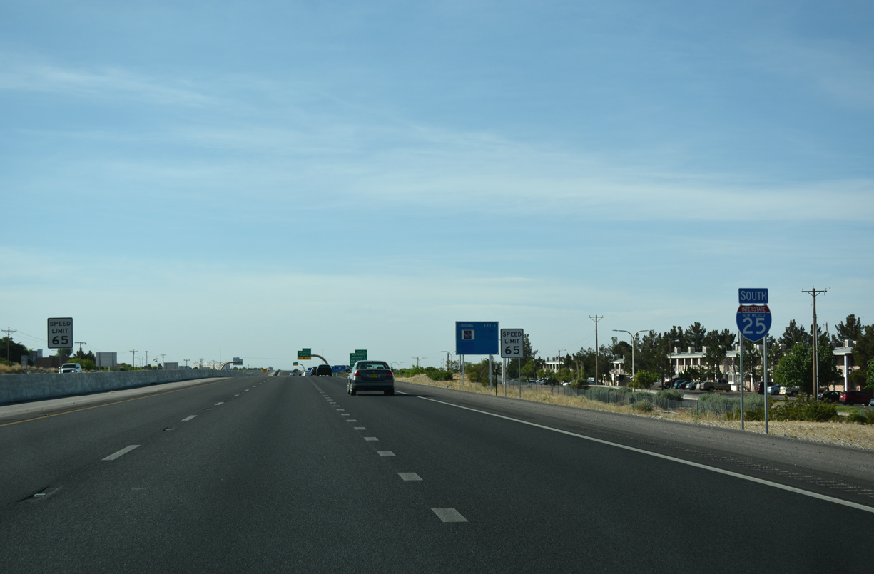
| Entering the Las Cruces suburbs, the speed limit lowers from 75 to 65 miles per hour along Interstate 25 southbound. 04/25/17 |
|
| NM 320 (Thorpe Road) constitutes a 2.00 mile link from I-25 and Del Rey Boulevard west to NM 185 (Valley Drive). 04/25/17 |
|
| The last three exits along Interstate 25 southbound fall within the city of Las Cruces. 04/25/17 |
|
| Following a freeway 11 miles from Exit 6 to Organ, forthcoming U.S. 70 traverses the Organ Mountains east from Las Cruces. 04/25/17 |
|
| U.S. 70 navigates south along Main Street and west along Picacho Avenue across the city of Las Cruces nine miles to the merge with Interstate 10 en route to Deming. 04/25/17 |
|
| Seven miles of Interstate 25 remain southbound to the merge with I-10 east. 04/25/17 |
|
| White Sands National Monument and Missile Range spread to the east of the Organ Mountains along U.S. 70 between Las Cruces and Alamogordo. 04/25/17 |
|
| The directional cloverleaf interchange (Exit 6) with U.S. 70 does not include a high speed ramp for the freeway leading east to Organ. U.S. 70 transitions into a commercial arterial west of I-25 along Main Street south toward Downtown. 04/25/17 |
|
| A two lane entrance ramp merges onto Interstate 25 south from U.S. 70. 04/25/17 |
|
| The succeeding distance sign outlines the distances to Mesquite, Anthony, and El Paso, destinations along Interstate 10 east to Texas. 04/25/17 |
|
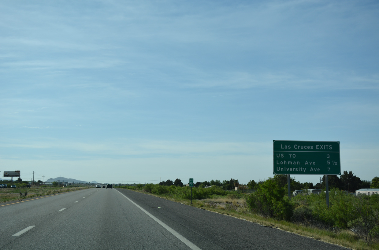
| One mile north of Exit 3 to Lohman Avenue (former NM 342). Lohman Avenue serves a bevy of commercial shopping centers nearby, including Mesilla Valley Mall. 04/25/17 |
|
| A divided arterial route, Lohman Avenue, extends 2.4 miles east from Interstate 25 to Sonoma Ranch Boulevard. 04/25/17 |
|
| West of Interstate 25, Lohman Avenue partitions into a one way couplet with Amador Avenue through Downtown Las Cruces. NM 342 formerly followed Lohman Avenue west to NM 292 (Motel Boulevard). 04/25/17 |
|
| Entering the diamond interchange (Exit 3) with Lohman Avenue on Interstate 25 south. The exchange was rebuilt in 2002. 04/25/17 |
|
| Construction in 2015/16 expanded Interstate 25 with auxiliary lanes in each direction between Exits 3 and 1. 04/25/17 |
|
| New Mexico State University (NMSU) lies along University Avenue west between I-25 at Exit 1 and I-10 at Exit 142. NMSU Farm & Ranch Heritage Museum is a 1.25 mile drive to the east. 04/25/17 |
|
| Exit 1 with University Avenue is a parclo interchange located between the NMSU Golf Course and Aggie Memorial Stadium. 04/25/17 |
|
| University Avenue between I-25 and I-10 was previously a part of NM 101. The state road remains along University Avenue southwest from NM 478 (Main Street) 1.42 miles to NM 28 (Avenida de Mesilla) at Mesilla. 04/25/17 |
|
| Exit 1 leaves Interstate 25 south for University Avenue (FL 5508). 04/25/17 |
|
| The final confirming marker for Interstate 25 south precedes Tortugas Arroyo. 04/25/17 |
|
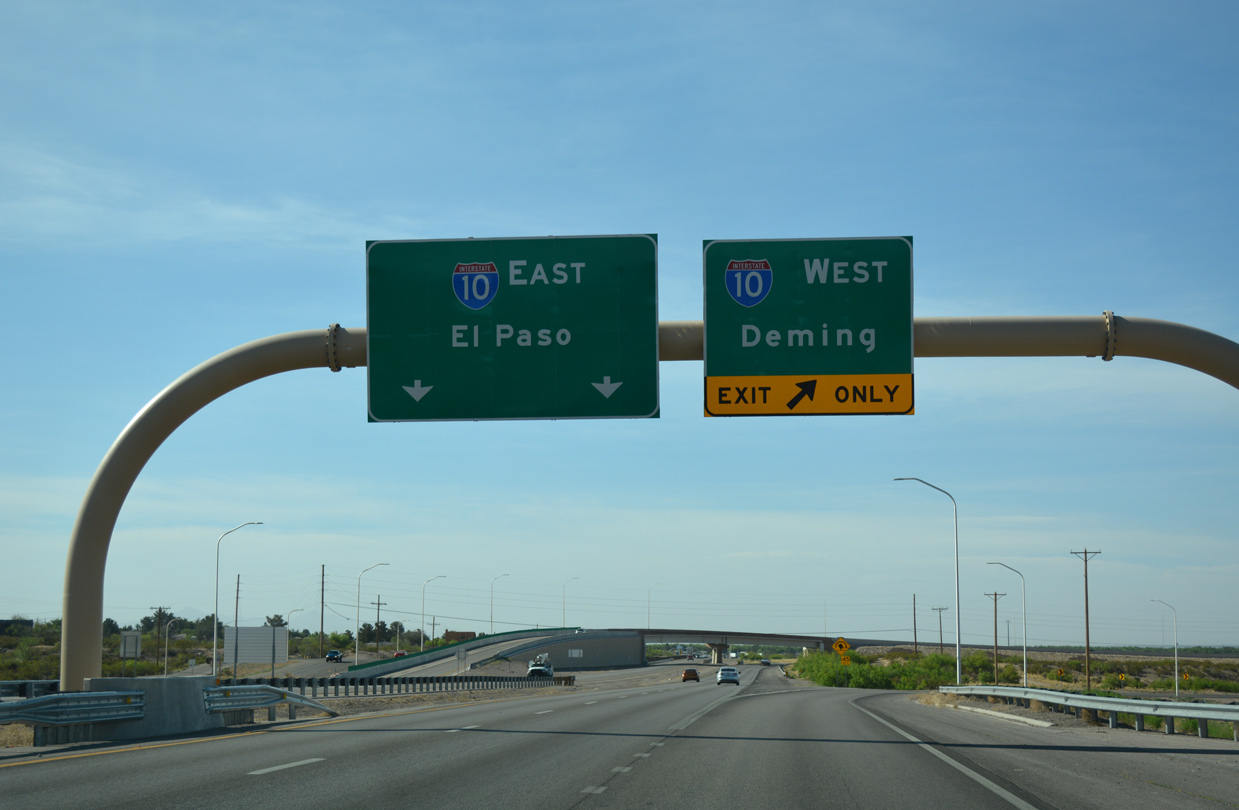
| Interstate 25 south defaults onto I-10 and unsigned U.S. 180 east to Mesquite and El Paso, Texas. An unnumbered ramp departs next for I-10 west to Tuscon, Arizona. U.S. 180 accompanies I-10 west to Deming. 04/25/17 |
|
| The I-10/I-25 Interchange Reconstruction Project underway from April 2012 to April 2013, rebuilt a substandard trumpet joining the two freeways into a two-wye exchange. Work included new overpasses for I-10 spanning the southbound connection from I-25 toward El Paso. 04/25/17 |
Page Updated 04-05-2019.

 South
South