| Interstate 80 West |
|
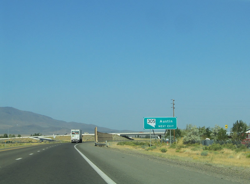
The second Battle Mountain interchange joins Interstate 80 with Nevada 305 (Broad Street) south of downtown. Nevada 305 straddles the Reese River Valley for 87.718 miles between Austin and Battle Mountain. Battle Mountain itself represents an Emigrant Trail, railroad, and mining town of 2,623 people. Photo taken 09/09/05. |
|
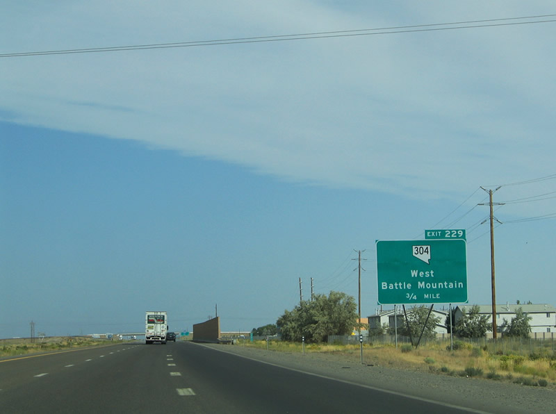
Business Loop I-80 & Nevada 304 continue 1.4 miles northwest from Nevada 305 (Broad Street) to Allen Road and Exit 229 of Interstate 80. Allen Road spurs west from Front Street (old U.S. 40) at the Te-Moak Indian Reservation. Photo taken 09/09/05. |
|
Westbound at the Battle Mountain west interchange with Business Loop I-80 & Nevada 304 (Allen Road / Front Street). Old U.S. 40 and the Union Pacific Railroad line continue northwest of Battle Mountain alongside the westbound lanes of the freeway. Photo taken 09/09/05. |
|
Interstate 80 enters Humboldt County five miles to the northwest of Battle Mountain. Photo taken 09/09/05. |
|
Interstate 80, the Union Pacific Railroad line, and old U.S. 40 continue through Mote at the Exit 222 diamond interchange. Mote represents a settlement along the former U.S. highway. Photo taken 09/09/05. |
|
Exit 222 departs for Mote Highway from Interstate 80 west. Mote Highway stems parallels the Union Pacific Railroad line and old U.S. 40 a short distance northwest from the interchange through Mote. Photo taken 09/09/05. |
|
|
Next in line for Interstate 80 westbound travelers is the small settlement of Valmy, a community home to a motel, cafe, and trailer park. Photos taken 09/09/05. |
|
|
The Valmy diamond interchange joins the freeway with local roads, a rest area, and the adjacent alignment of old U.S. 40. Photos taken 09/09/05. |
|
Interstate 80 meets the Stonehouse Highway at the Exit 212 diamond interchange near Stonehouse. Photo taken 09/09/05. |
|
|
The Stonehouse Highway spurs northeast from Interstate 80 to the North Valmy Power Plant. The facility supplies electricity to most of the north-central Nevada. Photos taken 09/09/05. |
|
|
Interstate 80 enters a dense fog advisory area between Stonehouse and the climb on the Osgood Mountains. Transmission lines travel overhead from the North Valmy Power Plant southward. Photo taken 09/09/05. |
|
Pumpernickel Loop Road intersects Interstate 80 on the eastern fringes of the Osgood Mountains. Photo taken 09/09/05. |
|
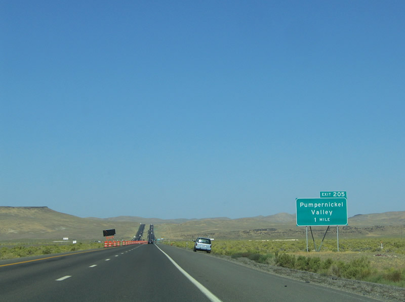
A folded-diamond interchange joins Interstate 80 with Pumpernickel Loop Road at Pumpernickel Valley (Exit 205). Photo taken 09/09/05. |
|
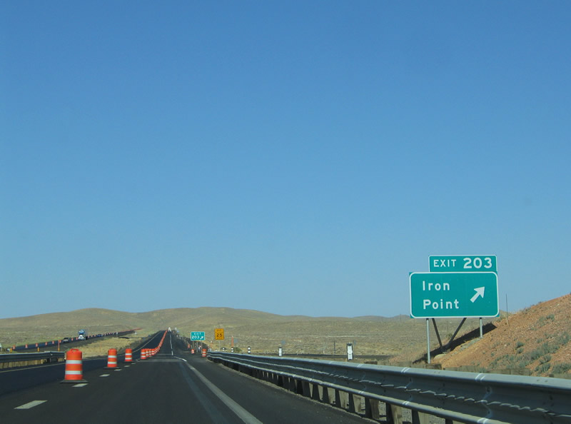
Interstate 80 climbs toward the Golconda Summit (el. 5,145 ft.) on the approach to Iron Point (Exit 203). Photo taken 09/09/05. |
|
Like Exit 205, Exit 203 also consists of a folded-diamond interchange at Iron Point. The exit serves local roads. Photo taken 09/09/05. |
|
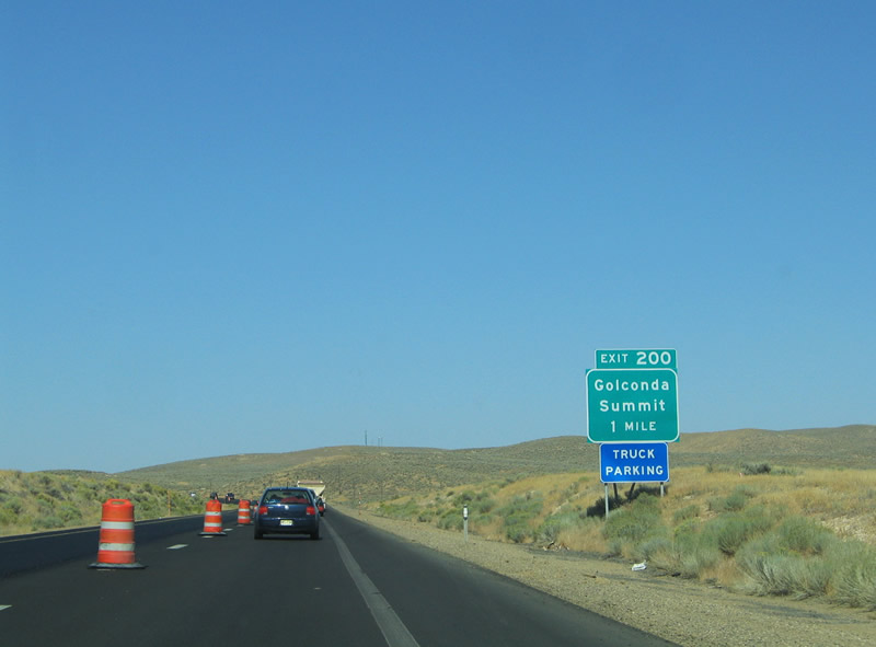
Exit 200 serves an isolated area at Golconda Summit from Interstate 80. Photo taken 09/09/05. |
|
The Exit 200 diamond interchange includes a truck parking area. Local roads tie into the interchange but provide no outlet. Photo taken 09/09/05. |
|
|
|
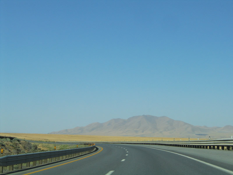
A small guide sign redirects westbound drivers back to Battle Mountain from Golconda Summit (Exit 200). The westbound mainline begins a gradual descent toward the Humboldt River valley at Golconda. Old U.S. 40 also reemerges from obscurity to the north of the freeway. Photos taken 09/09/05. |
|
Interstate 80 meets Nevada 789 (Getchell Mine Road) at Exit 194 in Golconda. Golconda began as a railroad outpost and continues its existence as a mining community. Nevada 789 spurs 15.896 miles northeast to the Getchell Mining District, an industry producing gold, silver, and tungsten. Photo taken 09/09/05. |
|
Westbound at the Exit 194 off-ramp to Morrison Avenue (Nevada 789). Nevada 789 turns onto old U.S. 40 east before venturing north out of town. The state route ends after 16 miles and an unpaved road (Midas Road) continues another 28 miles to Midas, a small mining village. Old U.S. 40 merges onto Interstate 80 westbound after Main Street. Photo taken 09/09/05. |
|
|
Interstate 80 travels northwest another seven miles to Button Point. The forthcoming diamond interchange includes a rest area for weary travelers. The Union Pacific Railroad and Humboldt River parallel the freeway closely at Button Point before again diverging towards Winnemucca. Photo taken 09/09/05. |
|
Westbound at the Exit 187 diamond interchange and rest area at Button Point. Interstate 80 curves southwest on the seven mile approach to Winnemucca through Paradise Valley. Photo taken 09/09/05. |
|
|
The Santa Rose Range comes into view along the western horizon on the drive to Winnemucca. The Sonoma Range lies to the south. Photos taken 09/09/05. |
|
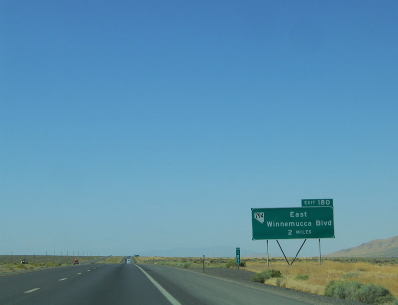
Two mile east of the Exit 180 Winnemucca East interchange with Nevada 794 (Winnemucca Boulevard) on Interstate 80 west. Winnemucca began in 1865 as the village of French Ford along the Humboldt River. The settlement existed as a supply center and ferry crossing along the Emigrant Trail. By fall of 1868 the Central Pacific Railroad company arrived and renamed French Ford to Winnemucca in honor of the famous Paiute chief. Winnemucca achieved status as the Humboldt County seat in 1873. Growth continued in town throughout the early 20th century thanks to the railroad and completion of U.S. 40, the Winnemucca-to-the-Sea Highway (Nevada 140 & Oregon 140), and Interstate 80. Photo taken 09/09/05. |
|
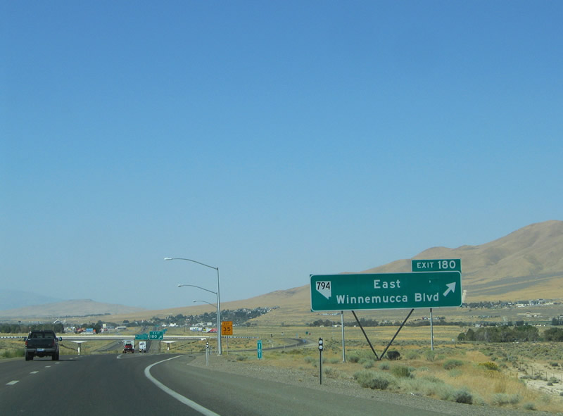
evada 794 (Winnemucca Boulevard) ventures west toward downtown Winnemucca between Exits 180 and Nevada 289 (2nd Street) for a distance of 2.481 miles. The highway co-signs with Business Loop I-80 along the stretch. Photo taken 09/09/05. |
|
Business Loop I-80 guide sign for the Exit 180 diamond interchange with Nevada 794 (Winnemucca Boulevard). Business Loop I-80 follows Nevada 794 and Nevada 289 to U.S. 95 (Melarky Street) in downtown Winnemucca. U.S. 95 & Business Loop I-80 overlap 1.7 miles along old U.S. 40 to Exit 176 of Interstate 80. Photo taken 09/09/05. |
|
Westbound at the Exit 180 ramp departure for Business Loop I-80 & Nevada 794 (Winnemucca Boulevard) westbound and Pedroli Lane northbound. Nevada 794 officially ends at the end of Pedroli Lane north of the diamond interchange. Photo taken 09/09/05. |
Page Updated July 9, 2012.