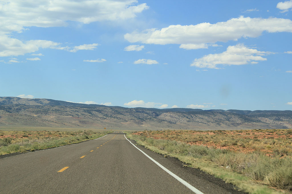
U.S. 89A begins at U.S. 89 in Bitter Springs, and travels north and west along the Vermillion Cliffs and Grand Staircase to Fredonia, AZ, then north to the Utah state line.
U.S. 89A is the former alignment of U.S. 89, and carried that shield from 1926 through 1959. In 1959, with the construction of Glen Canyon Dam, U.S. 89 was moved to it's present alignment through Page, leaving the former highway as U.S. 89A.
U.S. 89A is the Fredonia - Vermillion Cliffs Scenic Route. The road was designated a scenic highway in 1996.
|
| Reassurance marker for US 89A. 09/25/11 |
|
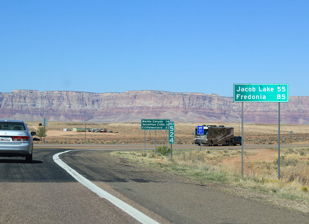
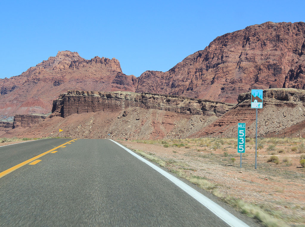
| Distance sign to Jacob Lake and Fredonia, the two major control points on U.S. Highway 89A. The sign in the background shows mileage to the other three towns on the route, Marble Canyon, Vermillion Cliffs, and Cliff Dwellers. 09/25/11 |
|
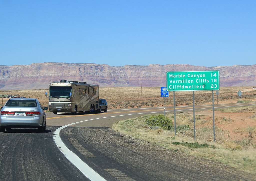
| Distance sign to Marble Canyon, Vermillion Cliffs and Cliff Dwellers. These "towns" are essentially lodges along the road. 09/25/11 |
|
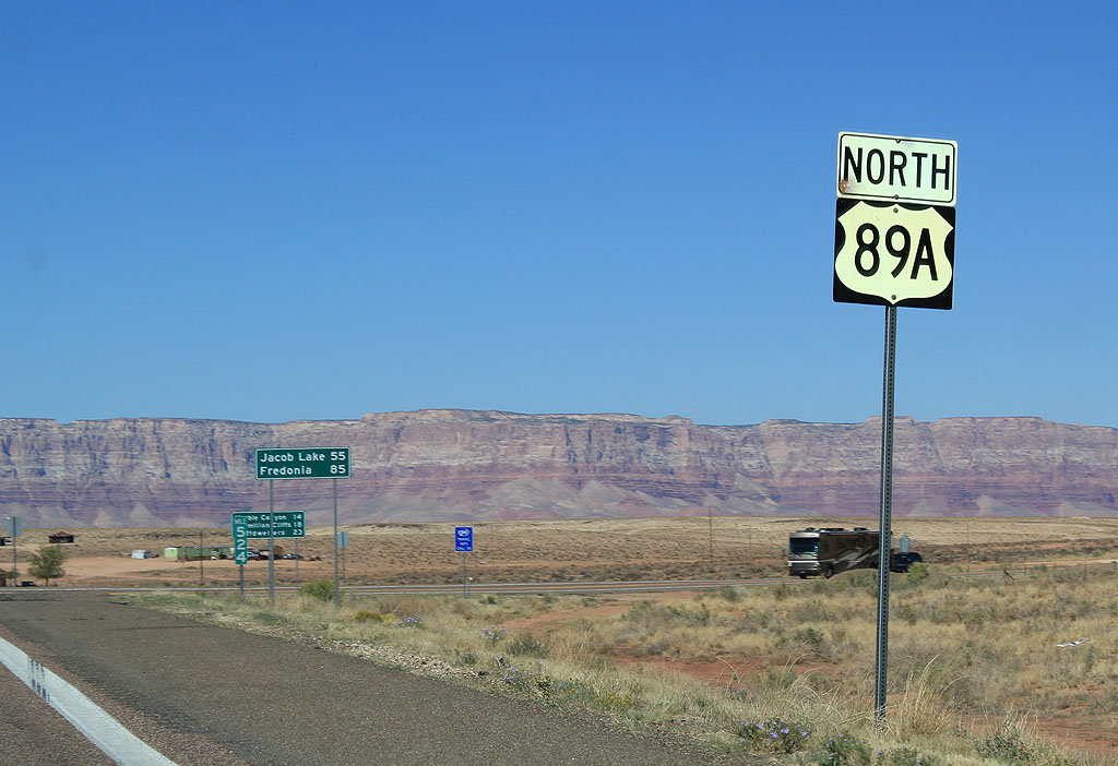
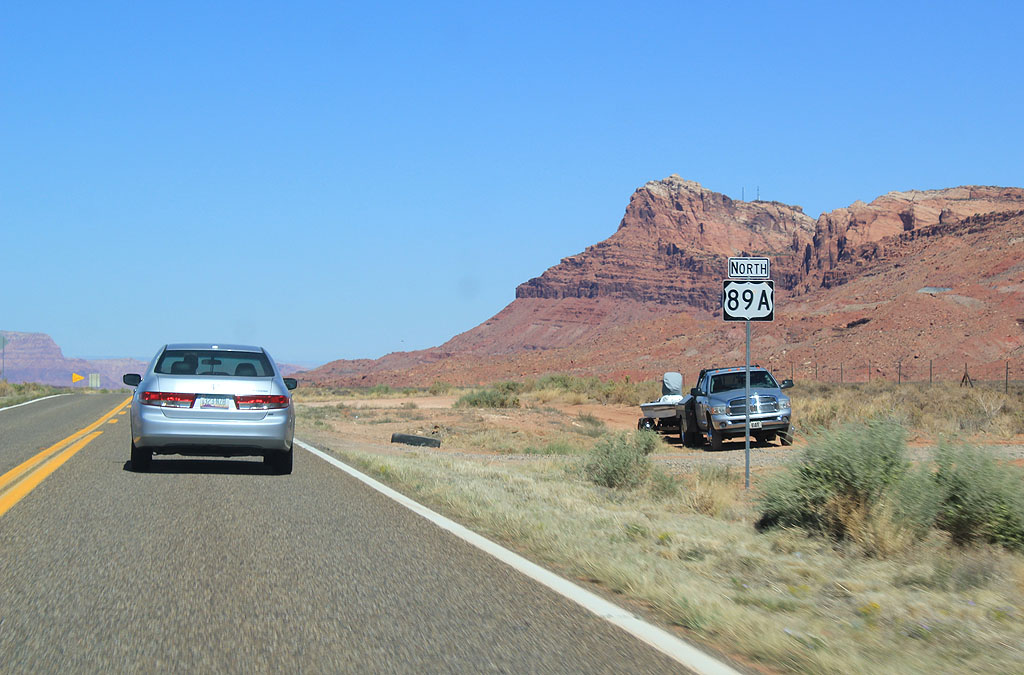
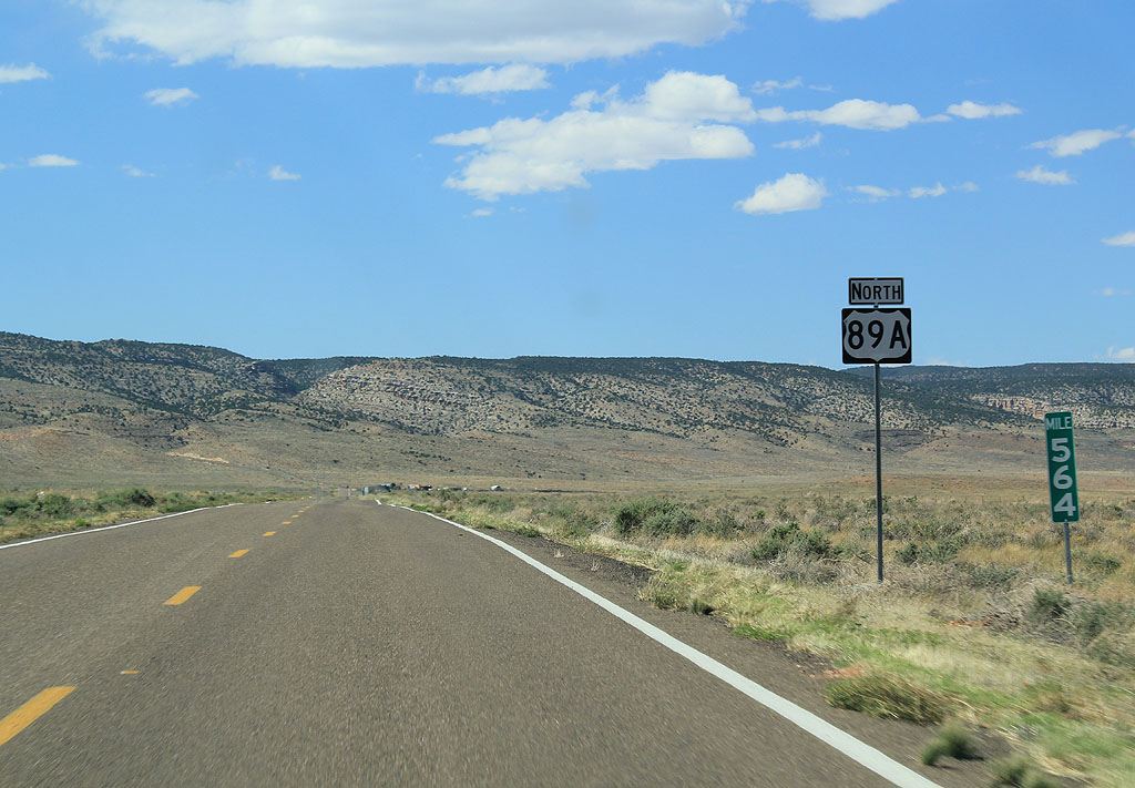
| Reassurance marker for US 89A.
09/25/11 |
|
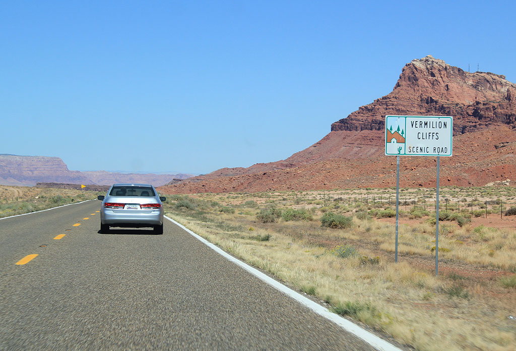
| U.S. Highway 89A is the Vermillion Cliffs scenic road. 09/25/11 |
|
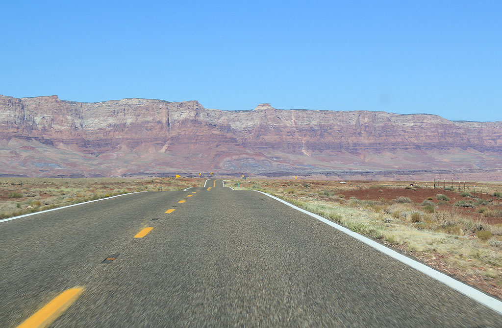
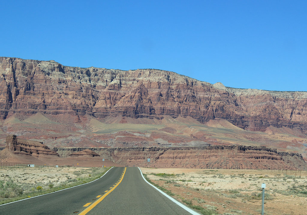
| US 89A travels along the Vermillion Cliffs. The Vermillion Cliffs mark the edge of the Navajo Sandstone layer of the Colorado Plateau. 09/25/11 |
|
| US 89A travels along the Vermillion Cliffs. The Vermillion Cliffs mark the edge of the Colorado Plateau 09/25/11 |
|
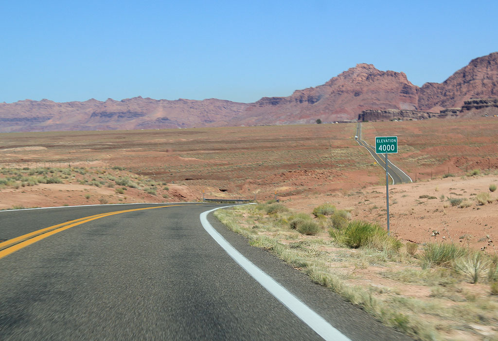
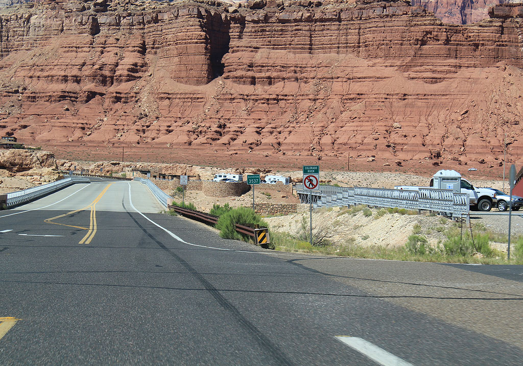
| US 89A descends slowly towards the Navajo Bridge, at 3,534 feet. 09/25/11 |
|
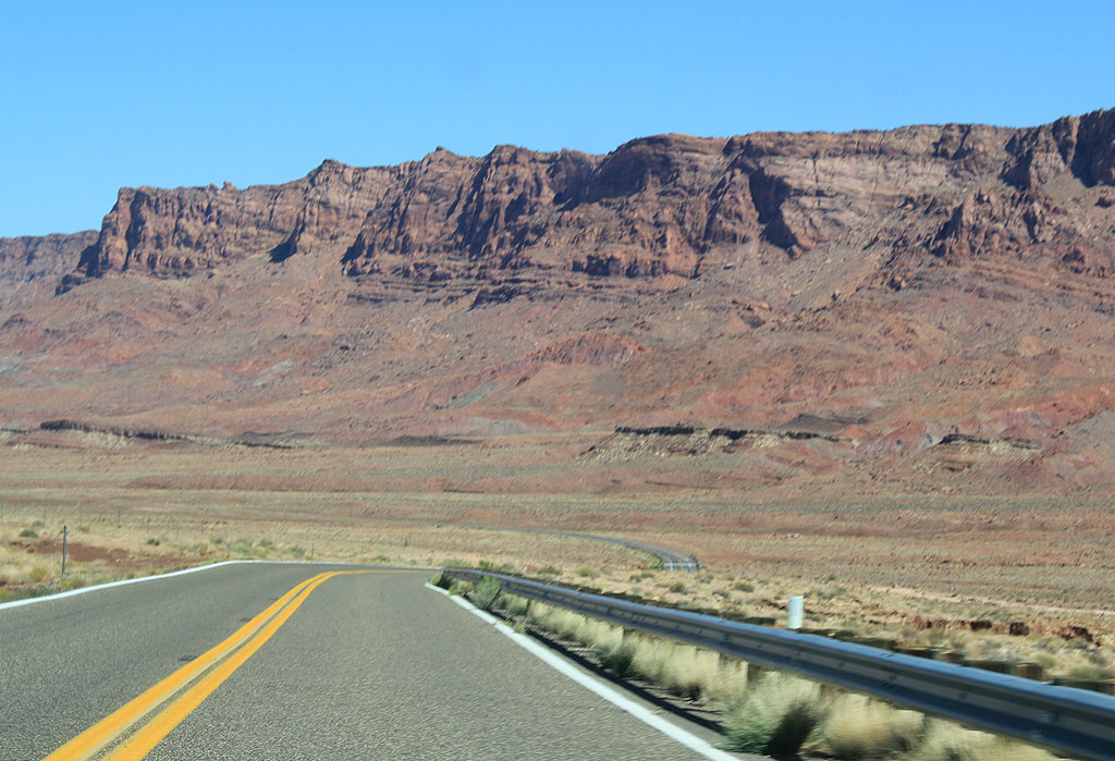
| US 89A is quite scenic as it travels along the Vermillion Cliffs. 09/25/11 |
|
| The Vermillion Cliffs have been protected as part of the new Vermillion Cliffs National Monument, administered by the Bureau of Land Management. 09/25/11 |
|
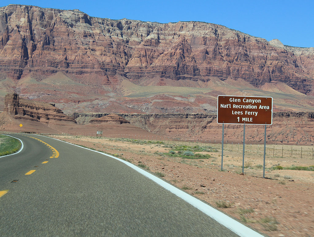
| Distance to Lee's Ferry, one mile. 09/25/11 |
|
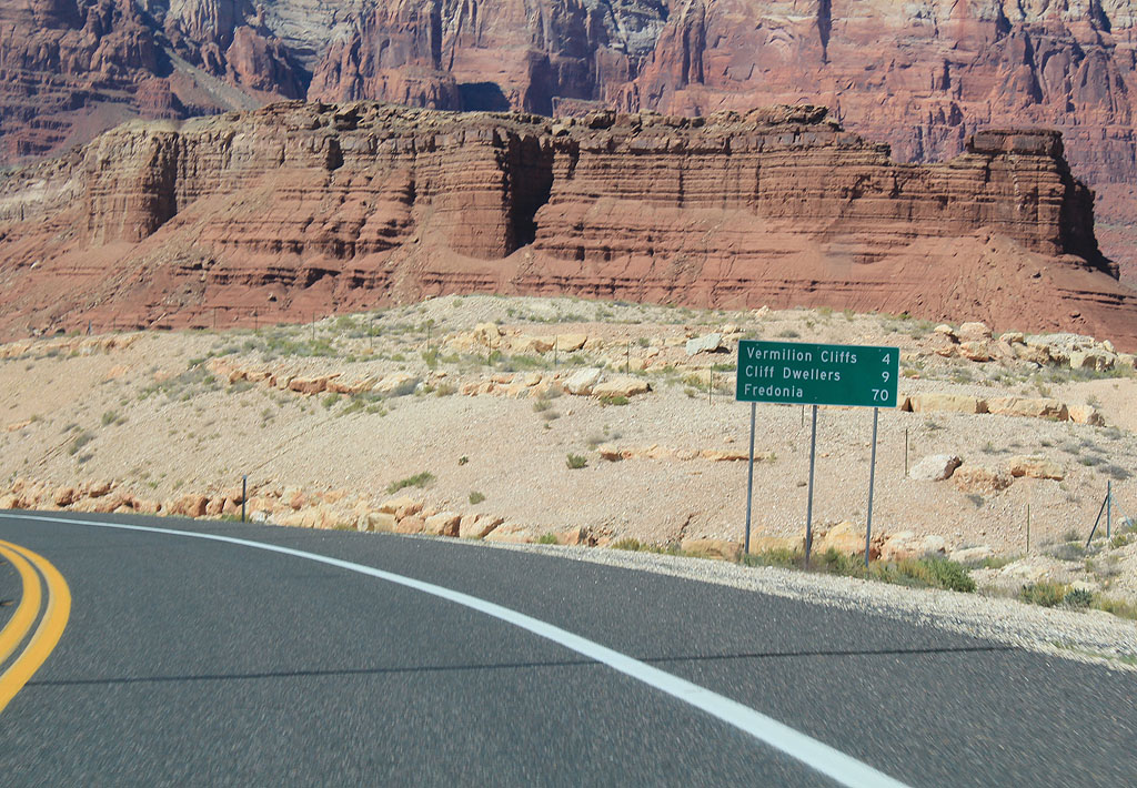
| Distance sign to Vermillion Cliffs, Cliff Dwellers and Fredonia. 09/25/11 |
|
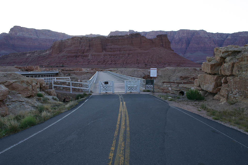
| US 89A approaches the Navajo Bridge. There is a parking area on both sides of the bridge, as seen here. 09/25/11 |
|
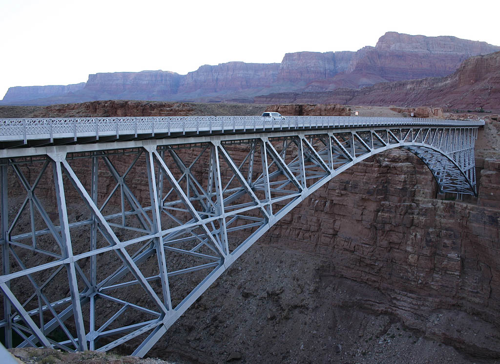
| The New Navajo Bridge opened in 1995 as a replacement
for the original Navajo Bridge. 06/22/07 |
|
| The new bridge has a similar design to the original
1929 bridge, but a wider bridge deck for improved safety
and additional load-carrying capacity. 06/22/07 |
|
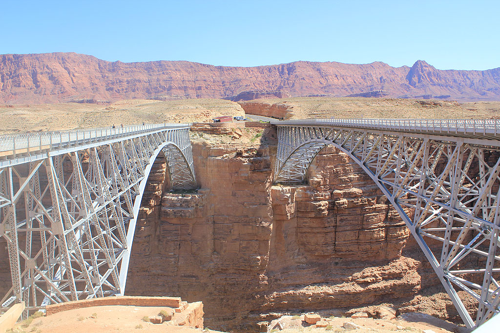
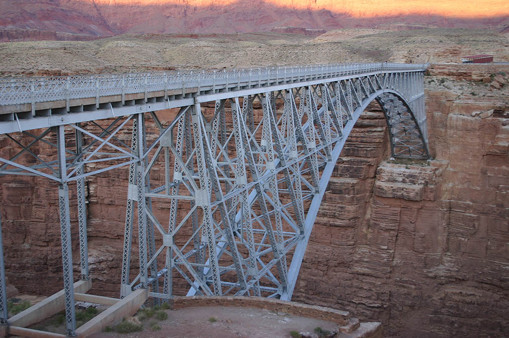
| The new bridge is 150 feet south of the original bridge. This photo shows both bridges in relation to each other, with the new one on the right. 09/25/11 |
|
| Looking northbound on the approach road to the old bridge.
This bridge was built in 1929, before U.S. 89 was even
paved, and was the first crossing of the Colorado River
in northern Arizona. 06/22/07 |
|
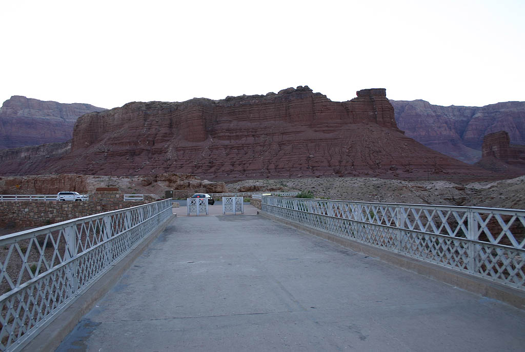
| Looking northbound at the end of the bridge while on
the original bridge, now a pedestrian walkway. Notice
the narrow width. 06/22/07 |
|
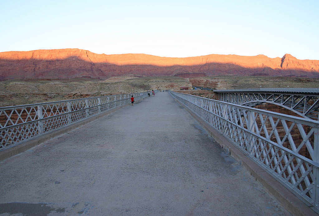
| Looking southbound across the original bridge. 06/22/07 |
|
| This is the view from the original bridge deck, facing
southbound. Notice the terrain is less steep than it is
facing northbound. 06/22/07 |
|
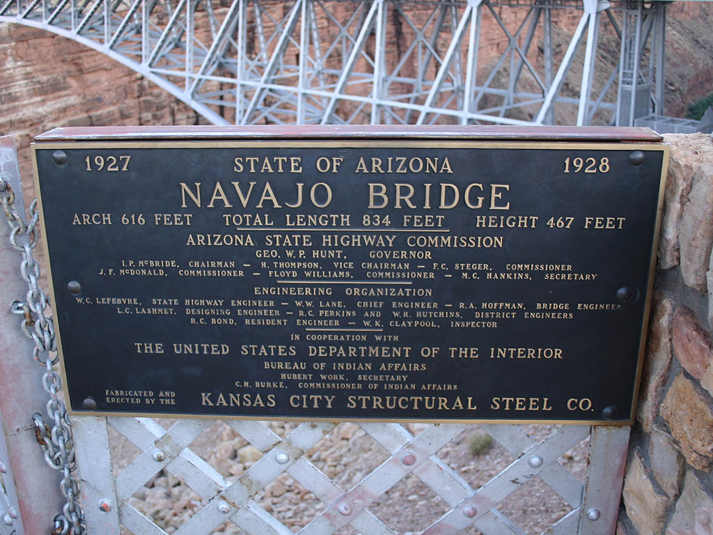
| This construction plaque is placed on the north end
of the bridge. As part of the construction of the new
bridge, a visitors center was placed at the north end
of the old bridge. 06/22/07 |
|
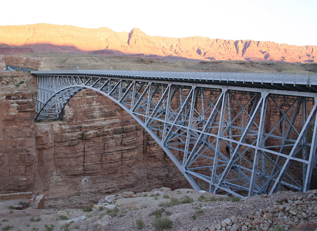
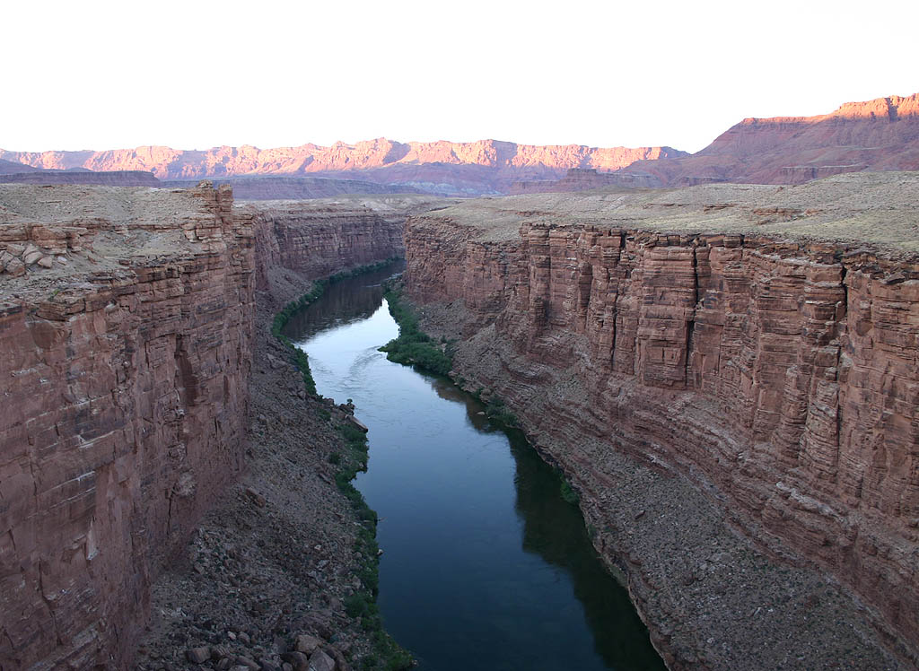
| The Colorado River is 430 feet below the deck of the
bridge, in a deep gorge. The only access point through
this gorge is at Lees Ferry, located just north of the
bridge. 06/22/07 |
|
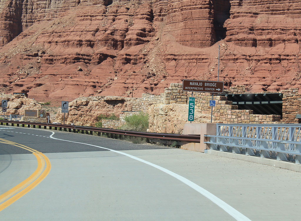
| Turn right for the Navajo Bridge Interpretive Center. The Center is a visitors center for the bridge, as well as the recreation lands around the bridge. 09/25/11 |
|
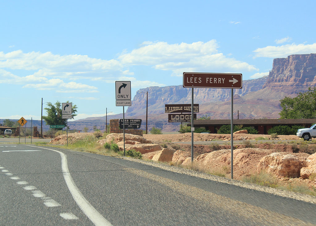
| Turn right for Lee's Ferry. Lee's Ferry is the original crossing of the Colorado River at this site, and is now part of Glen Canyon National Recreation Area. Lee's Ferry marks the northern edge of Grand Canyon National Park. 09/25/11 |
|
| U.S. 89A enters the small town of Marble Canyon. Marble Canyon is named after the canyon along the Colorado River (which U.S. 89A parallels), and is known for the Cliff Dwellers Lodge located in town. 06/22/07 |
|
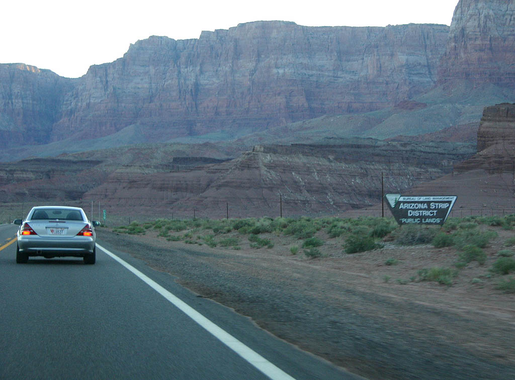
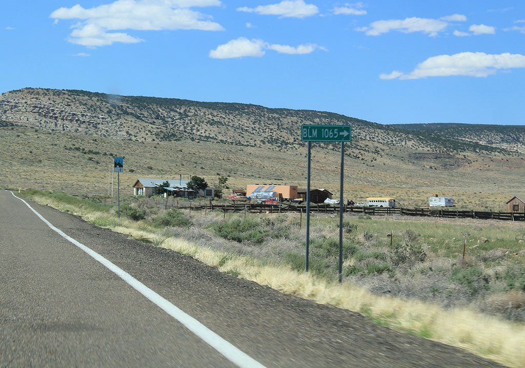
| The Bureau of Land Management has responsibility for the Arizona Strip lands along U.S. Highway 89A. 06/22/07 |
|
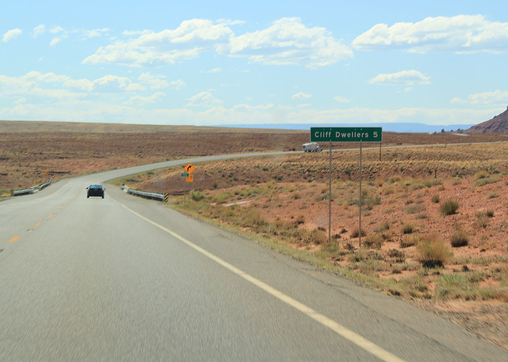
| Distance sign to the town of Cliff Dwellers. 09/24/11 |
|
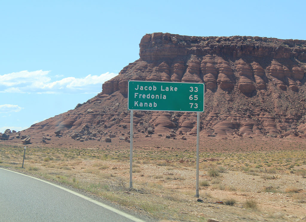
| Distance sign to Jacob Lake, Fredonia, and Kanab, Utah. 09/24/11 |
|
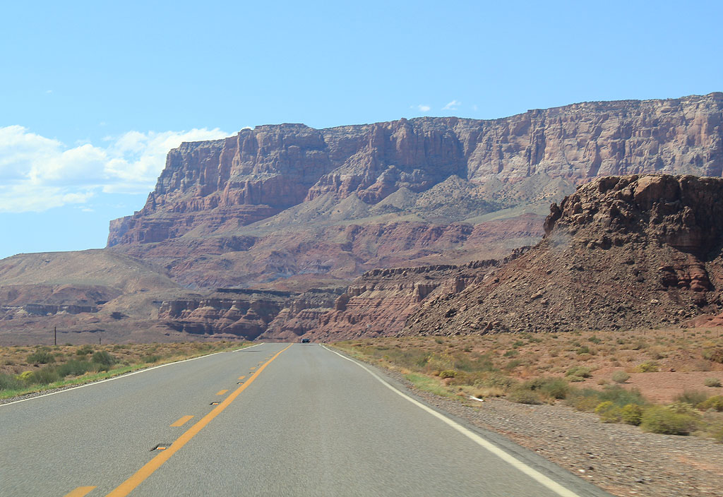
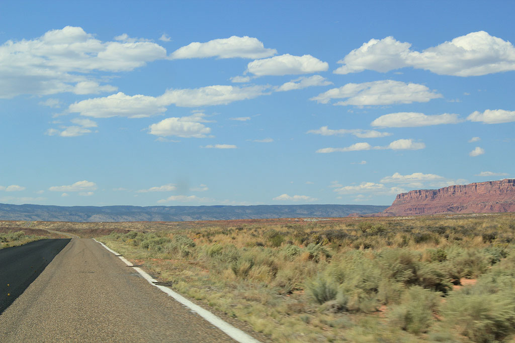
| U.S. Highway 89A parallels the Vermillion Cliffs all the way to Jacob Lake. 09/24/11 |
|
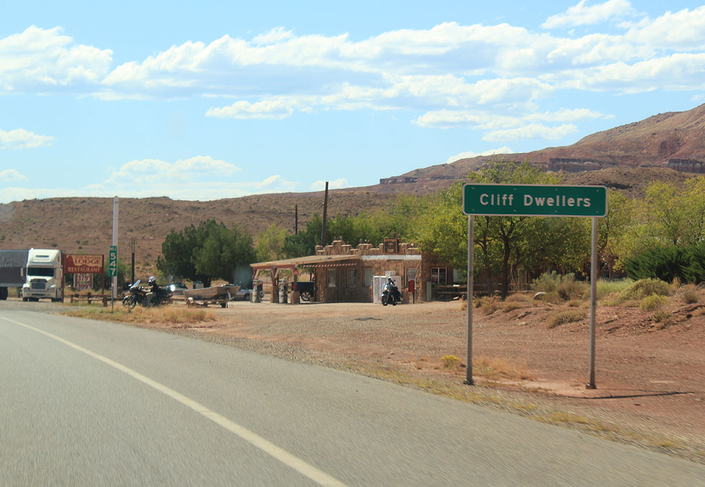
| U.S. Highway 89A enters the town of Cliff Dwellers. This is the last small town reached before climbing up to Jacob Lake. 09/24/11 |
|
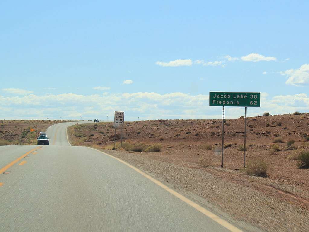
| Distance sign to Jacob Lake (30 miles) and Fredonia (62 miles). 09/24/11 |
|
| California Condors were re-released into the wild in the Vermillion Cliffs. The birds have taken well to their native habitat in Arizona. 09/24/11 |
|
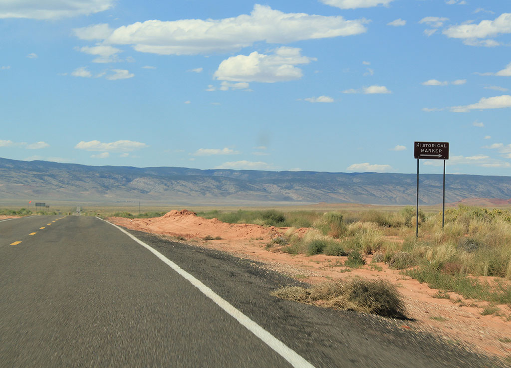
| Turn left for the San Bartolome Historic Site. This site discusses the history of the Arizona Strip and the Dominguez-Escalante expedition which explored this area. 09/24/11 |
|
| US 89A travels through House Rock valley. The valley is named for two boulders that were used as a house by Mormon settlers. 09/24/11 |
|
| Reassurance marker for Northbound US 89A. 09/24/11 |
|
| US 89A meets House Rock here. House Rock is the site of a buffalo ranch, managed by the Arizona Department of Fish and Game. 09/24/11 |
|
| Approaching the Kaibab National Forest, the path through an unnamed canyon up to the plateau is clearly visible. 09/24/11 |
|
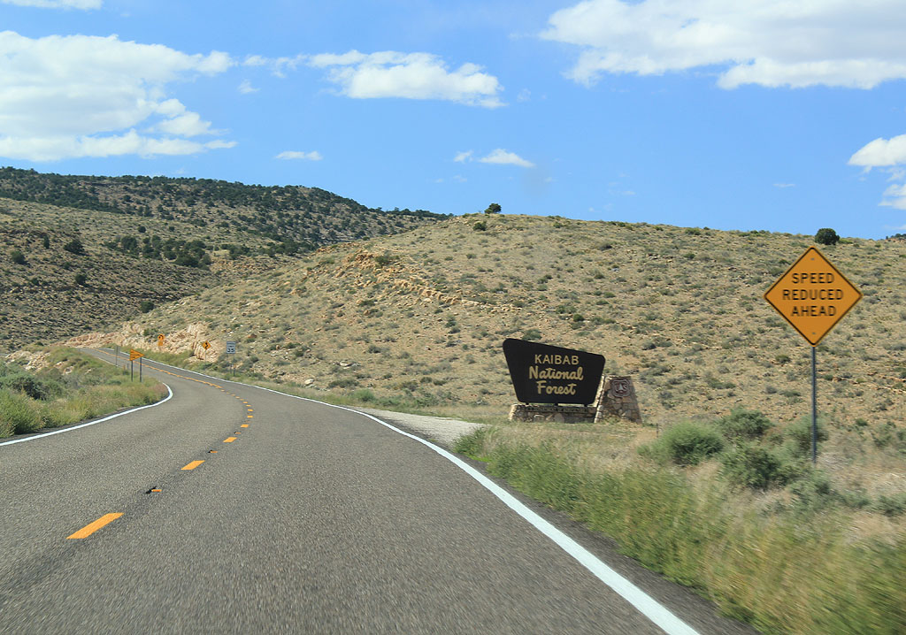
| US 89A enters the Kaibab National Forest. The Kaibab forest covers the Kaibab plateau, which is isolated from other forests in Arizona. 09/24/11 |
|
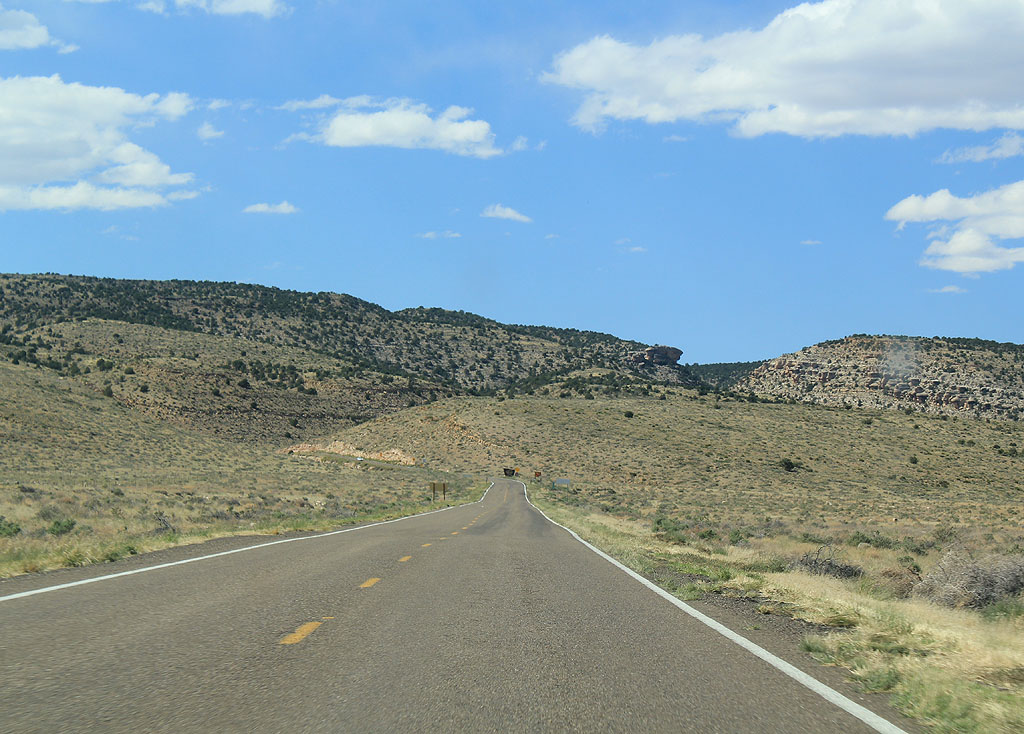
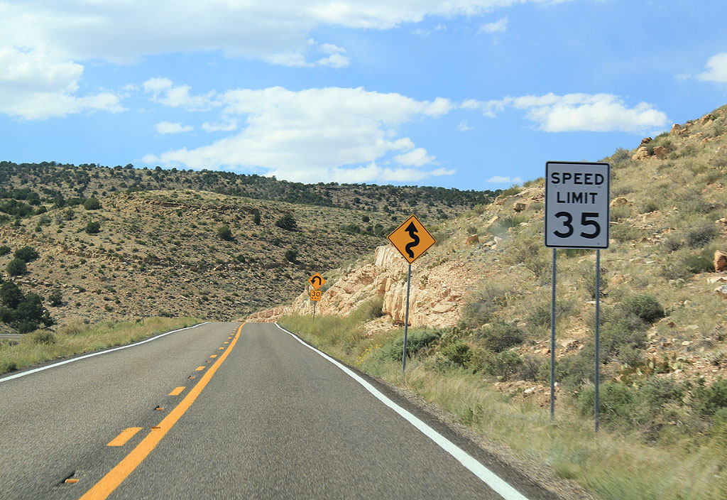
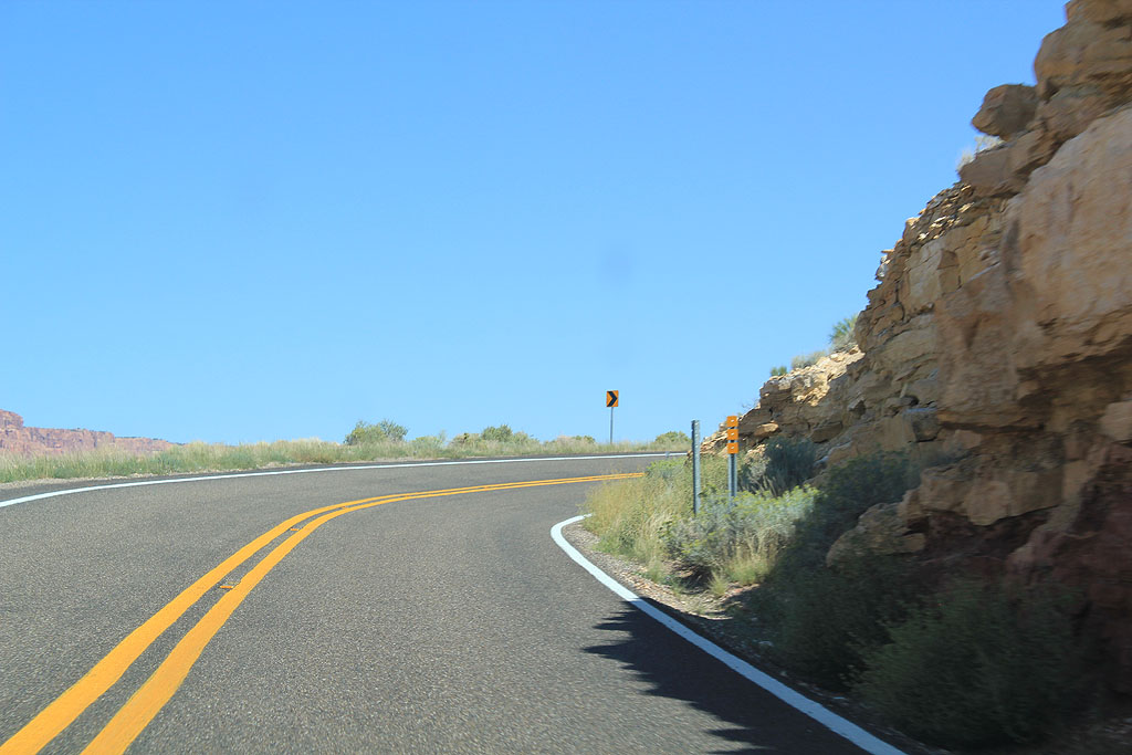
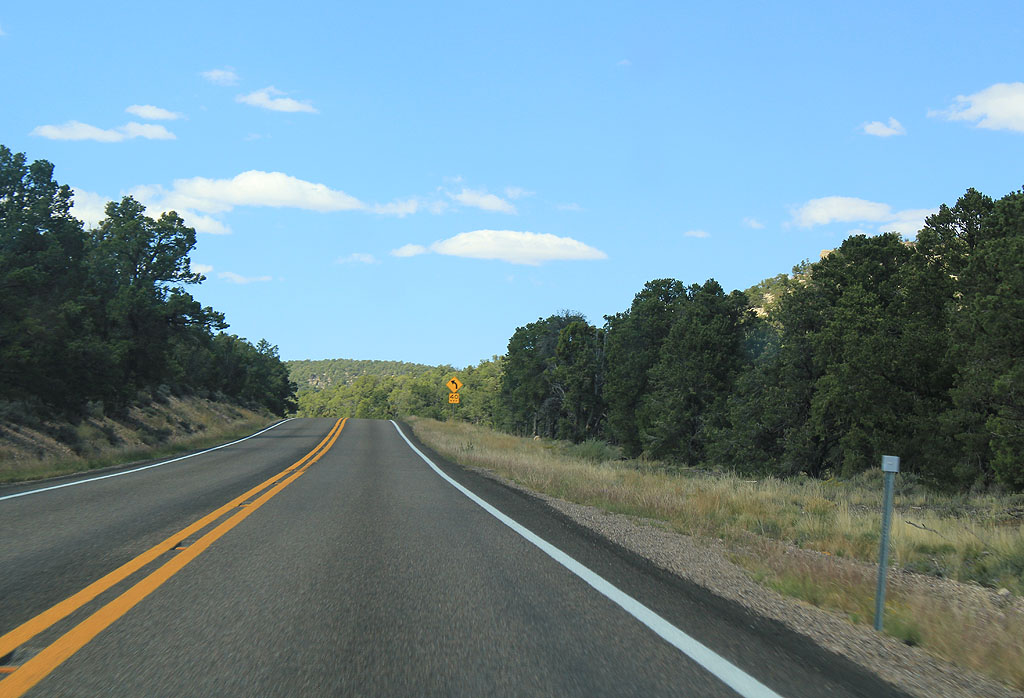
| US 89A rapidly climbs up the Colorado Plateau through a series of sharp curves. 09/24/11 |
|
| Sharp curves can be found as US 89A starts to climb in earnest. 09/24/11 |
|
| US 89A travels up an unnamed canyon as it climbs towards the top of the Plateau. 09/24/11 |
|
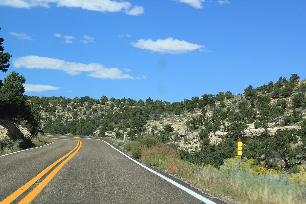
| As US 89A climbs in altitude, the pinyon juniper woodland replaces the sage scrub found at lower elevations. 09/24/11 |
|
| US 89A travels through the Pinyon Juniper woodland common to the Colorado Plateau just below the Ponderosa Pine forest. 09/24/11 |
|
| At 7000 feet in elevation, US 89A enters the Ponderosa Pine forest of the Kaibab Plateau. 09/24/11 |
|
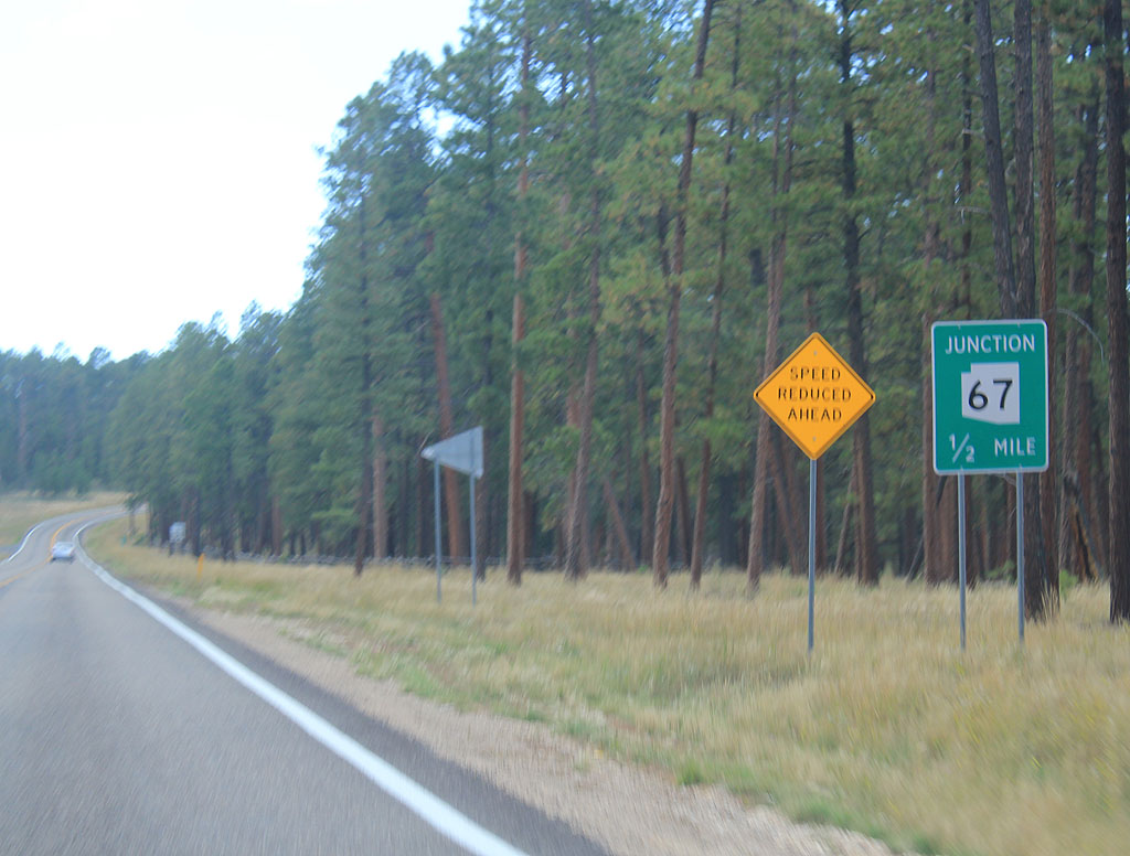
| Advance signage for US 67, 1/2 mile. 09/24/11 |
|
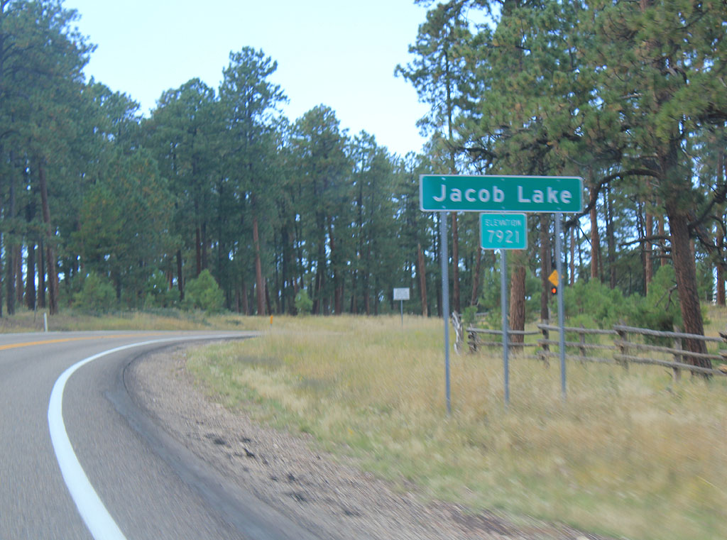
| US 89A enters the "town" of Jacob Lake, located at the high point of the road (7.921 feet). Jacob Lake is home to the Jacob Lake Inn, which also houses a restaurant and gas station. This marks the last services found before entering Utah. 09/24/11 |
|
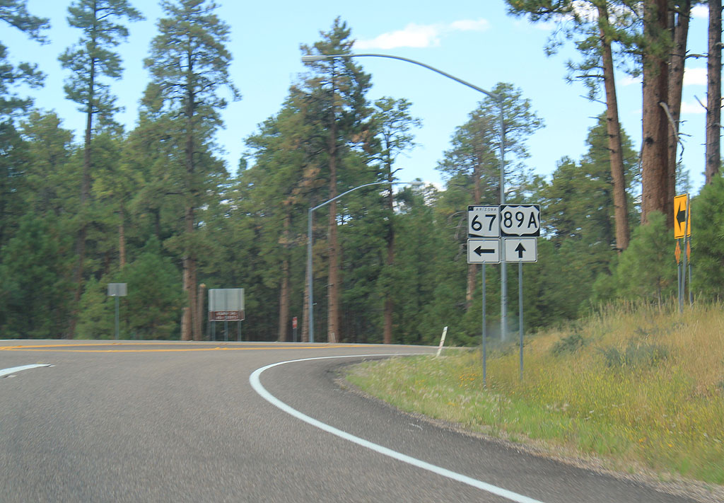
| Turn left for the North Rim of the Grand Canyon and SR 67, or continue ahead for US 89A and Fredonia. 09/24/11 |
Photo Credits:06/22/07, 09/24/11, 09/25/11 by Kevin Trinkle
Connect with:
U.S. 89
State Route 67
State Route 389
Page Updated 10-19-2011.

 North
North