| U.S. 6 east and U.S. 95 south |
|---|
|
|
|
|
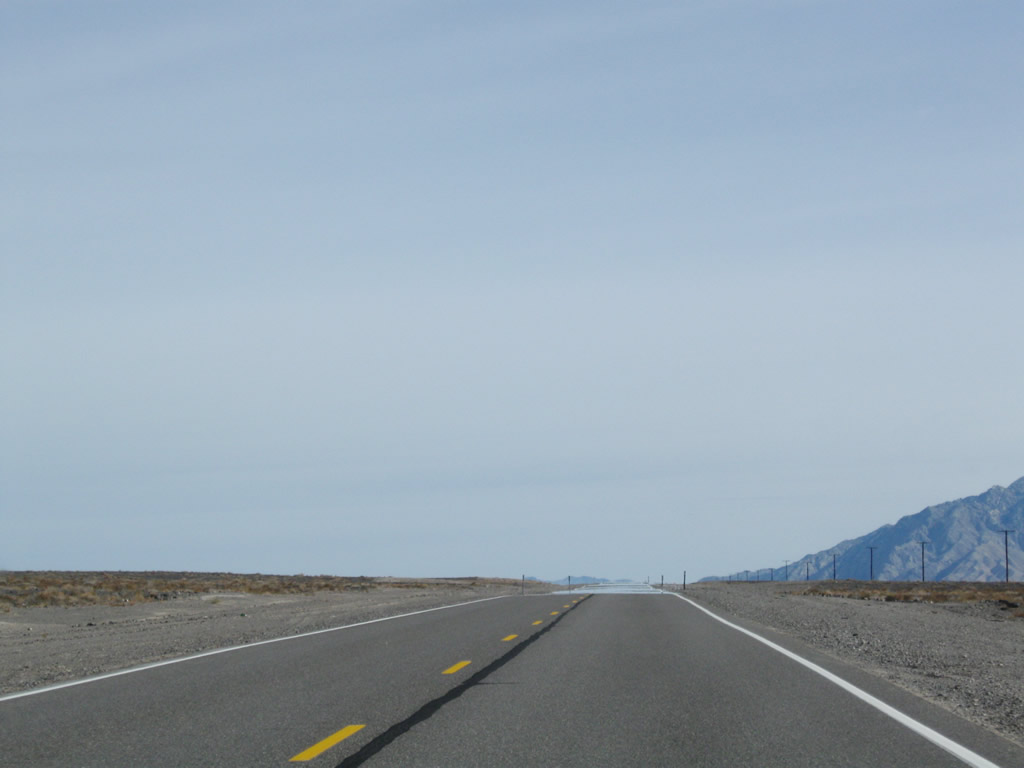
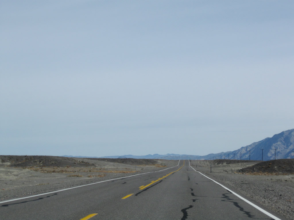
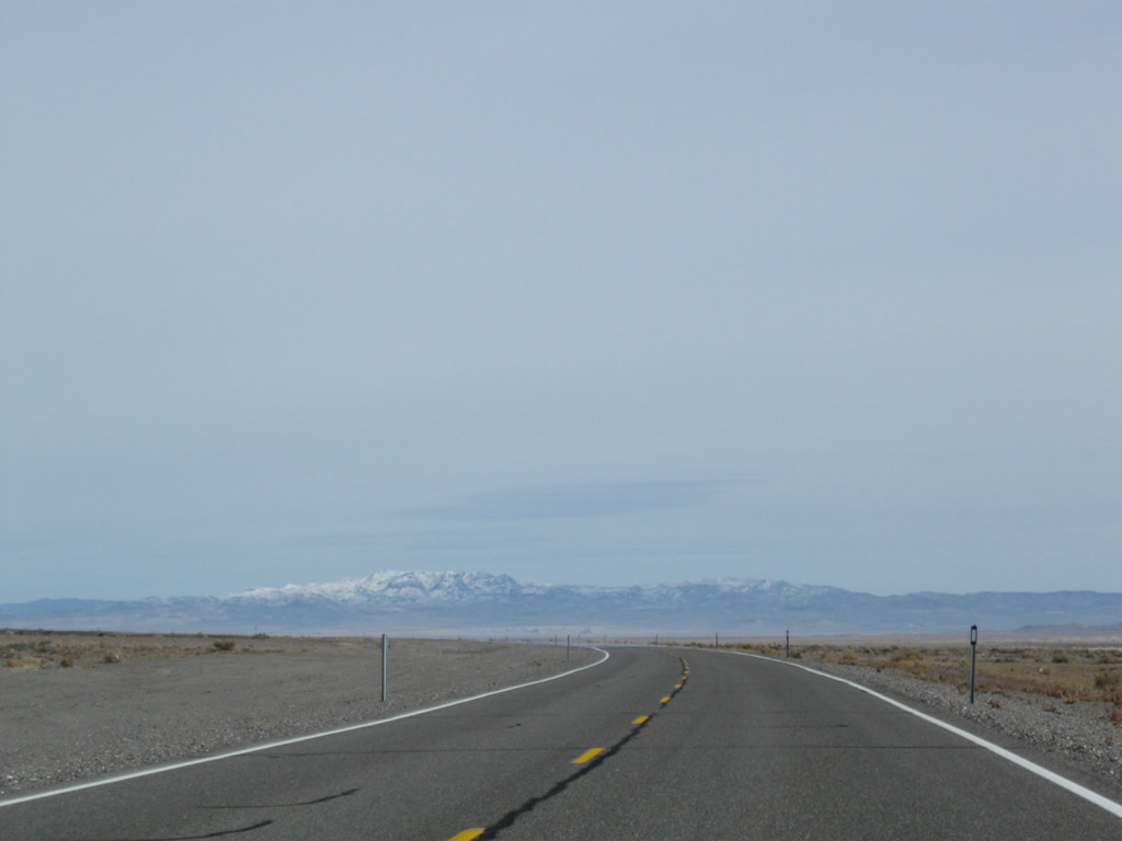
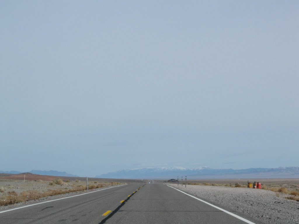
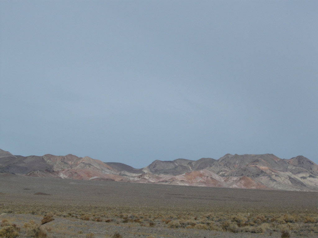
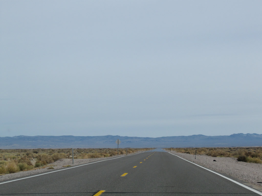
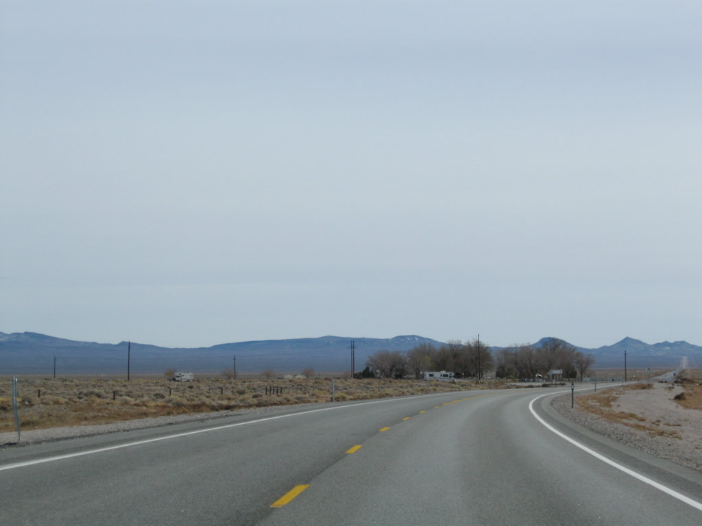
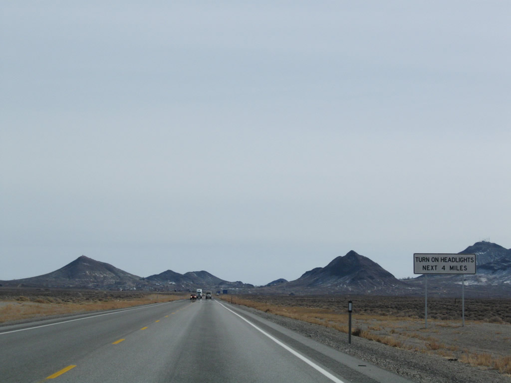
Continuing east after leaving Blair Junction and the Nevada 265 intersection, eastbound U.S. 6 and southbound U.S. 95 turn a bit to the northeast past Black Rock, then turns east to Millers, and then southeast again into Tonopah. Photos taken 11/11/08. |
|
|
|
|
|
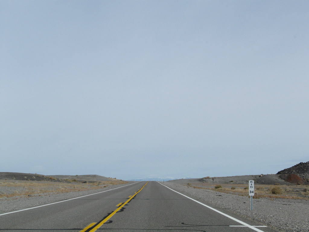
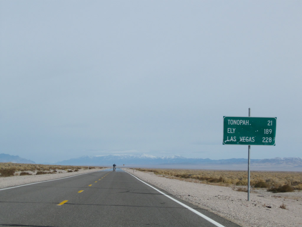
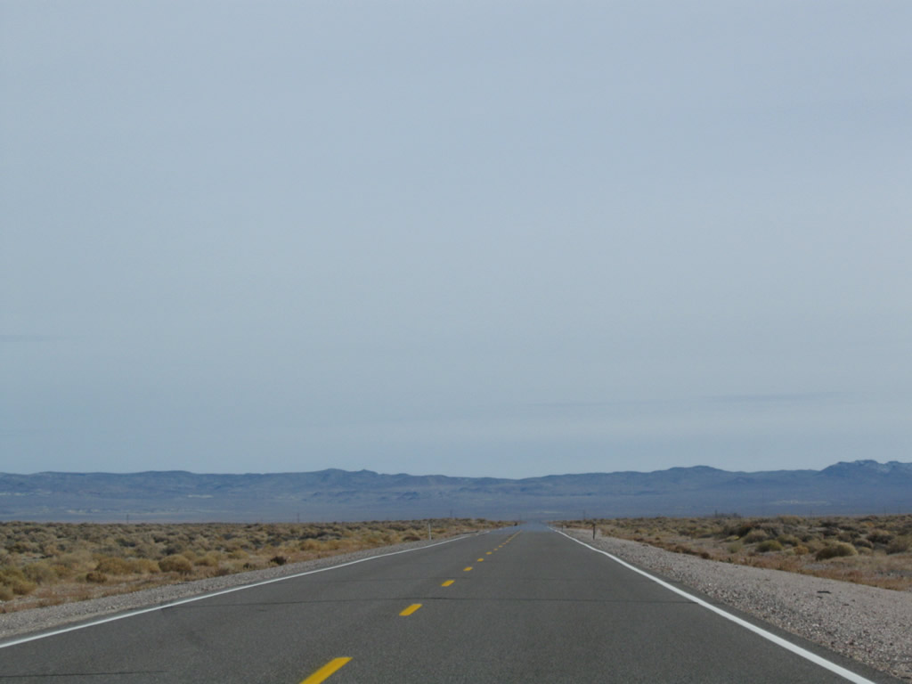
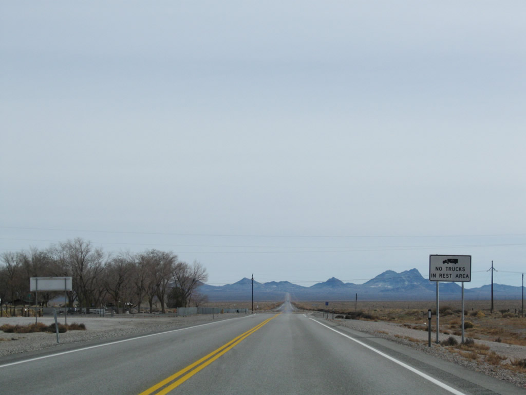
This mileage sign along eastbound U.S. 6 and southbound U.S. 95 provides the distance to Tonopah (21 miles), Ely (189 miles via U.S. 6 east), and Las Vegas (228 miles via U.S. 95 south). Photo taken 11/11/08. |
|
|
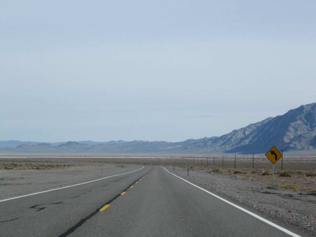
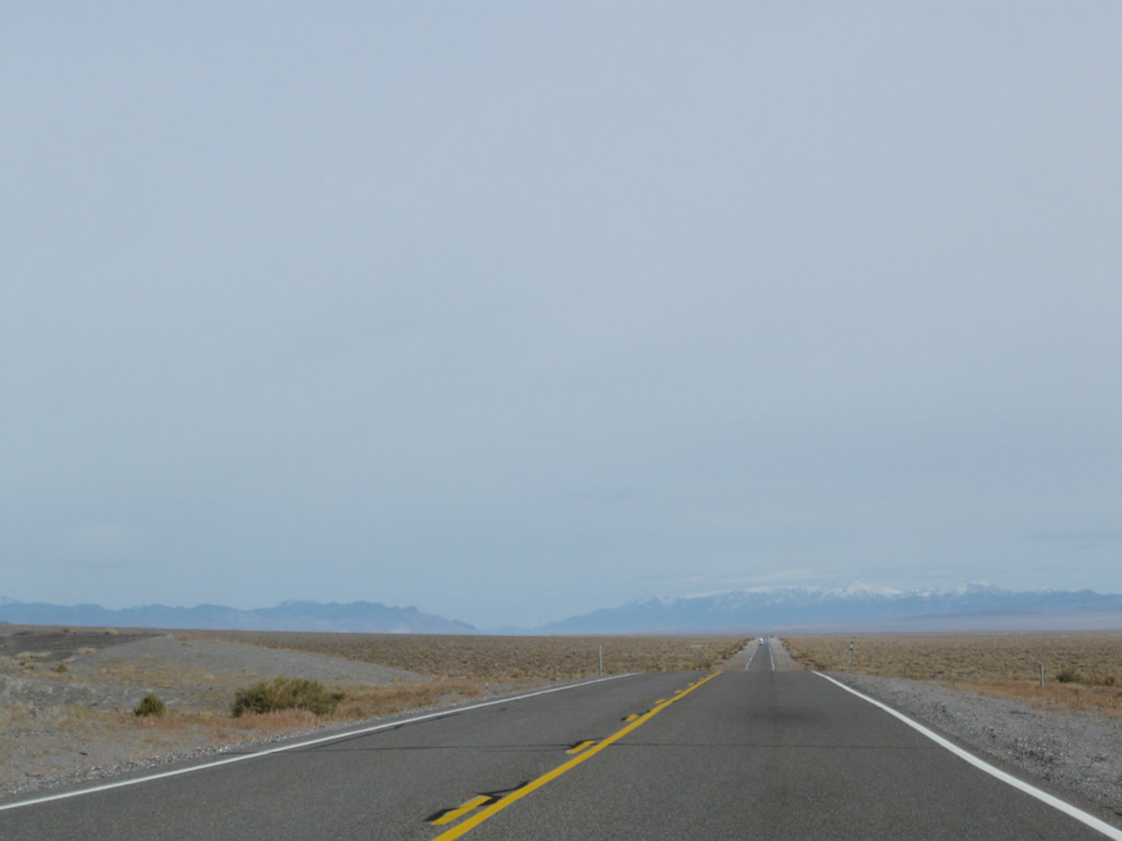
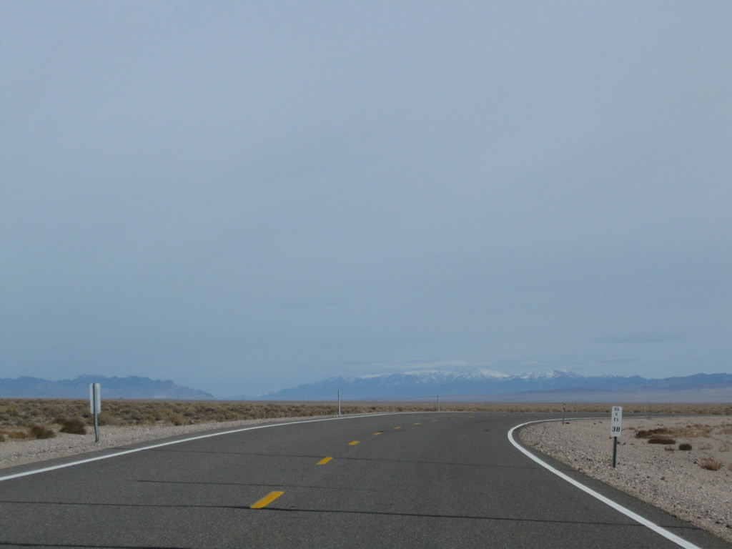
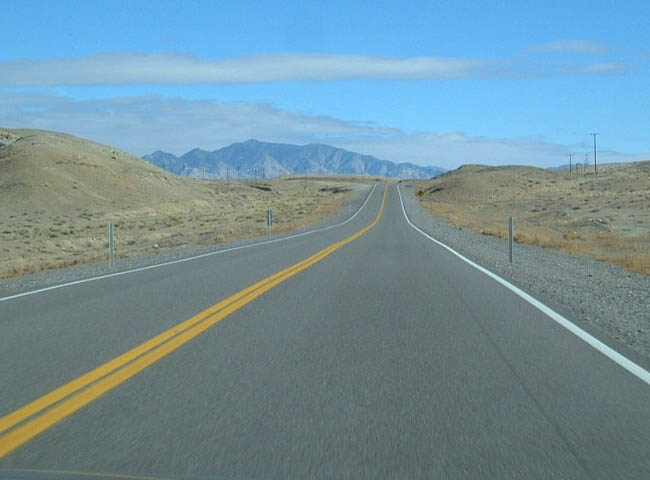
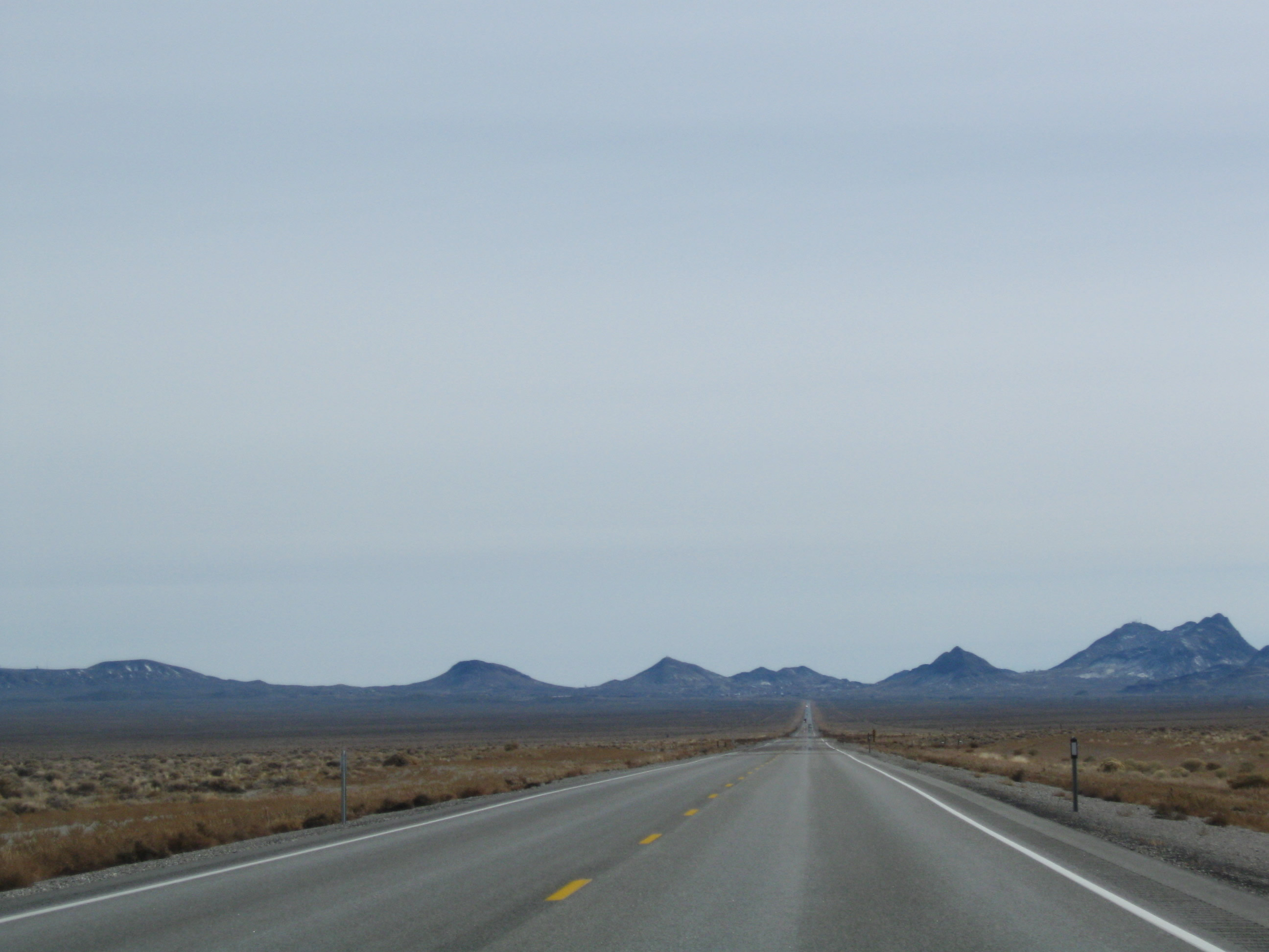
U.S. 6 and U.S. 95 veer east into the Big Smoky Valley. Prior to the turn, Arc Dome (elevation 11,361 feet above sea level) comes into view. Unlike the other mountains we've seen on this late fall day, snow has accumulated within the higher elevations of the Arc Dome Wilderness (part of Humboldt-Toiyabe National Forest). Photos taken 11/11/08. |
|
|
|
|
|
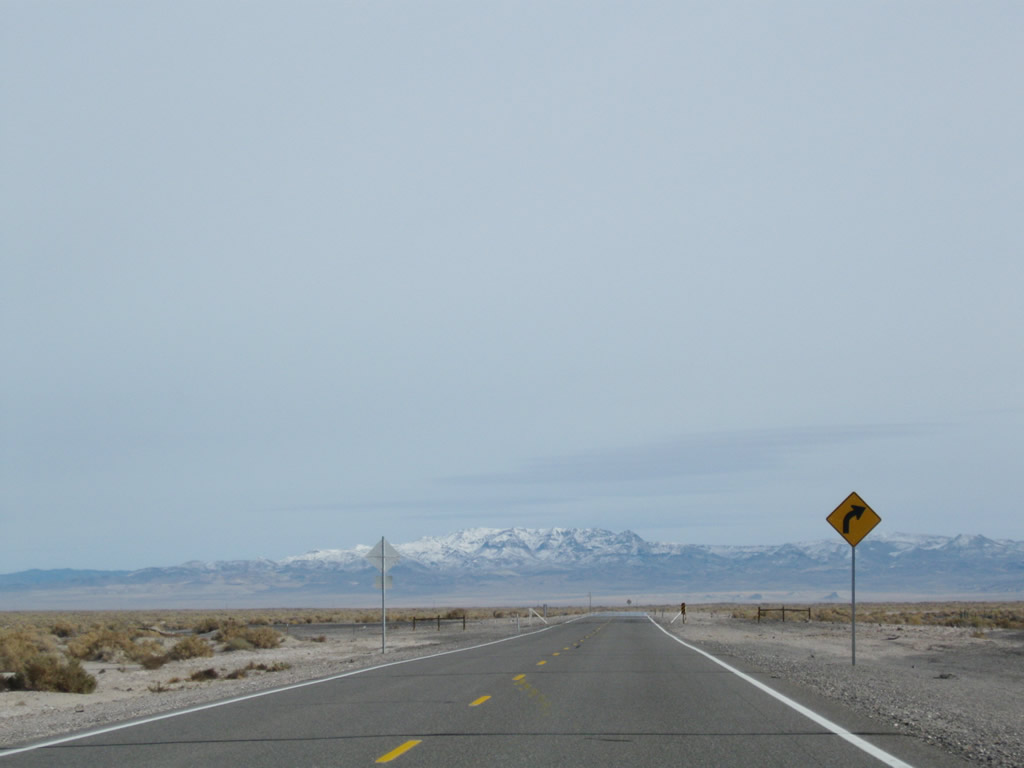
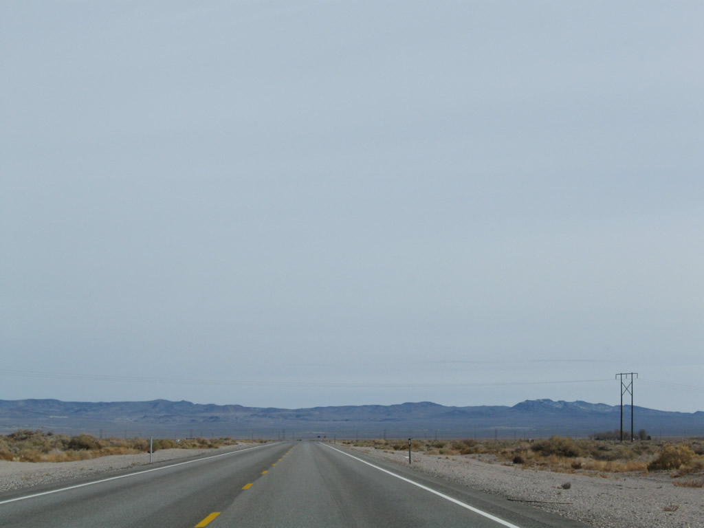
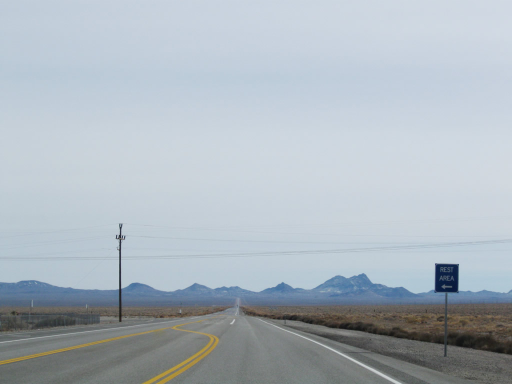
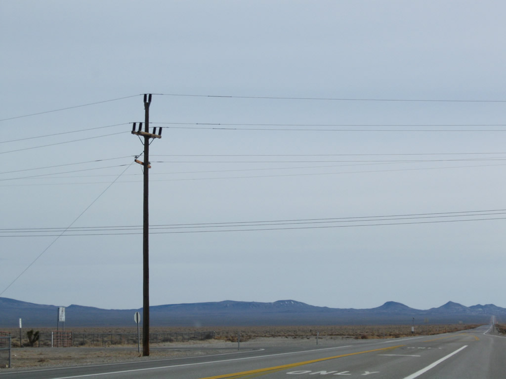
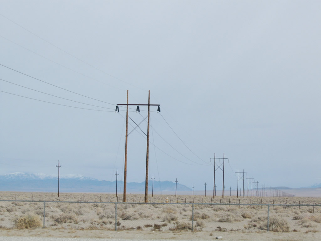
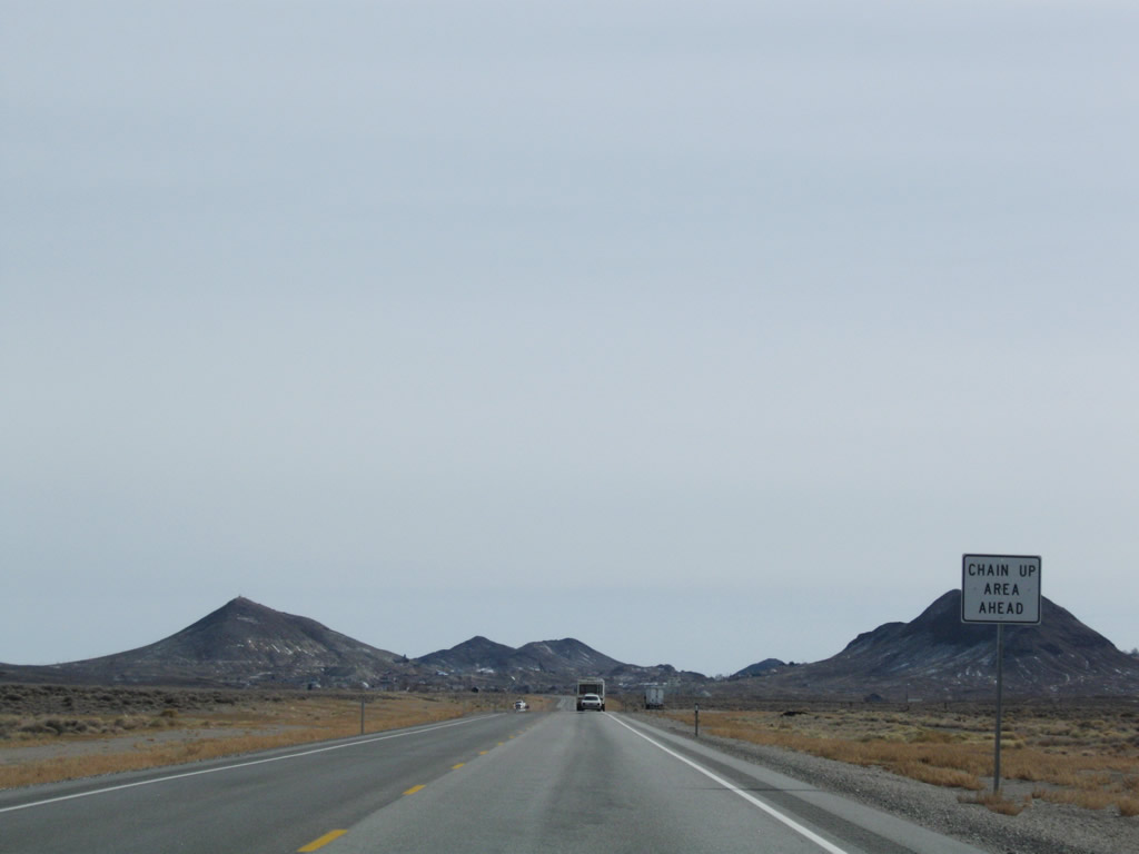
A power transmission line crosses over U.S. 6 and U.S. 95 in the Big Smoky Valley. A short distance later, U.S. 6-95 approaches a rest area at Millers. The rest area has full facilites (flush toilets, running water, picnic tables, litter barrels, and RV dump station). Trucks are prohibited from entering the rest area. Leaving Millers, U.S. 6-95 again turns southeast for the final distance into Tonopah. The town of Tonopah sits at the top of the grade ahead, near Ararat Mountain. Photos taken 01/20/02 and 11/11/08. |
|
|
|
|
|
|
|
|
|
|
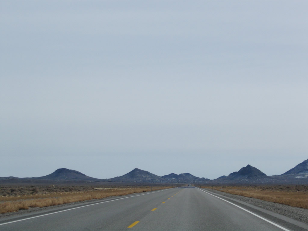
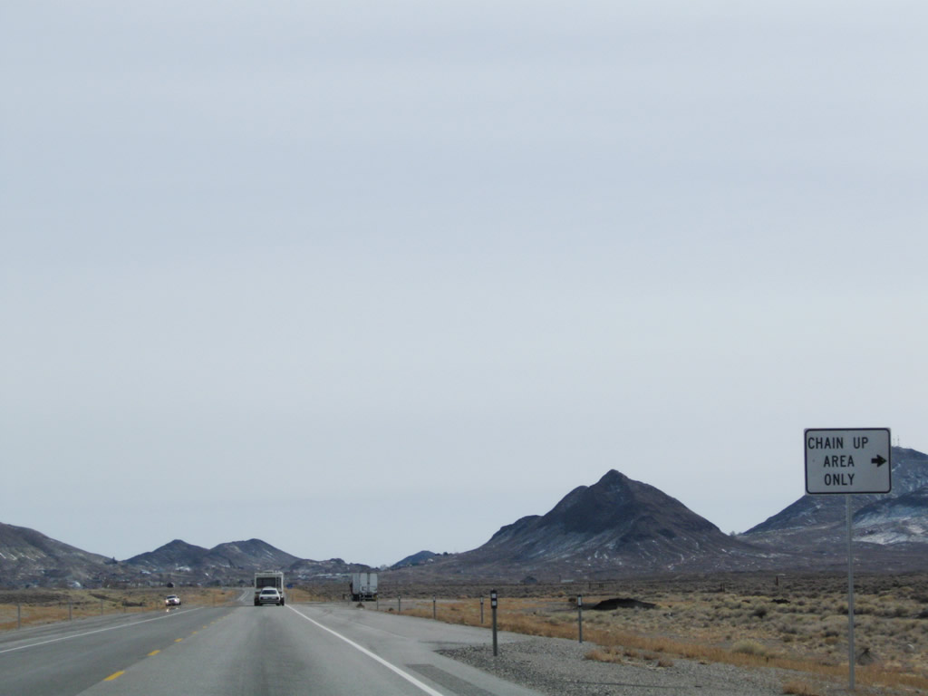
Gaining elevation, eastbound U.S. 6 and U.S. 95 approach Tonopah. Traffic counts increase as we get closer to the town. A chain-up area is located on the gradual up-slope; chains may be necessary during or after snow storms. Photos taken 11/11/08. |
|
|
|
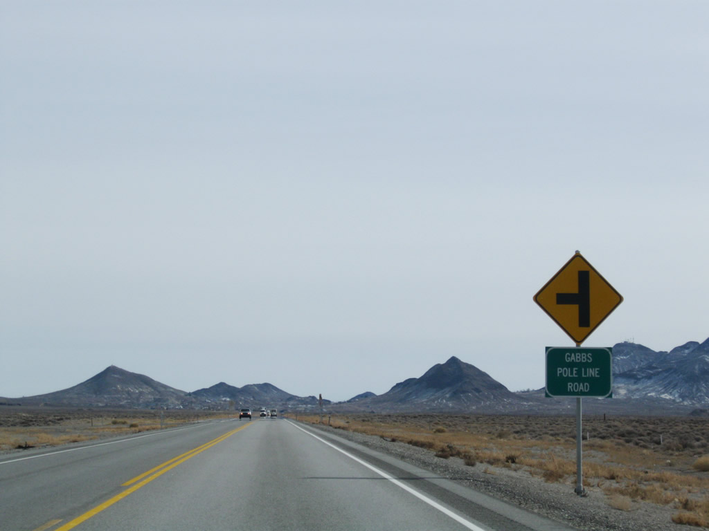
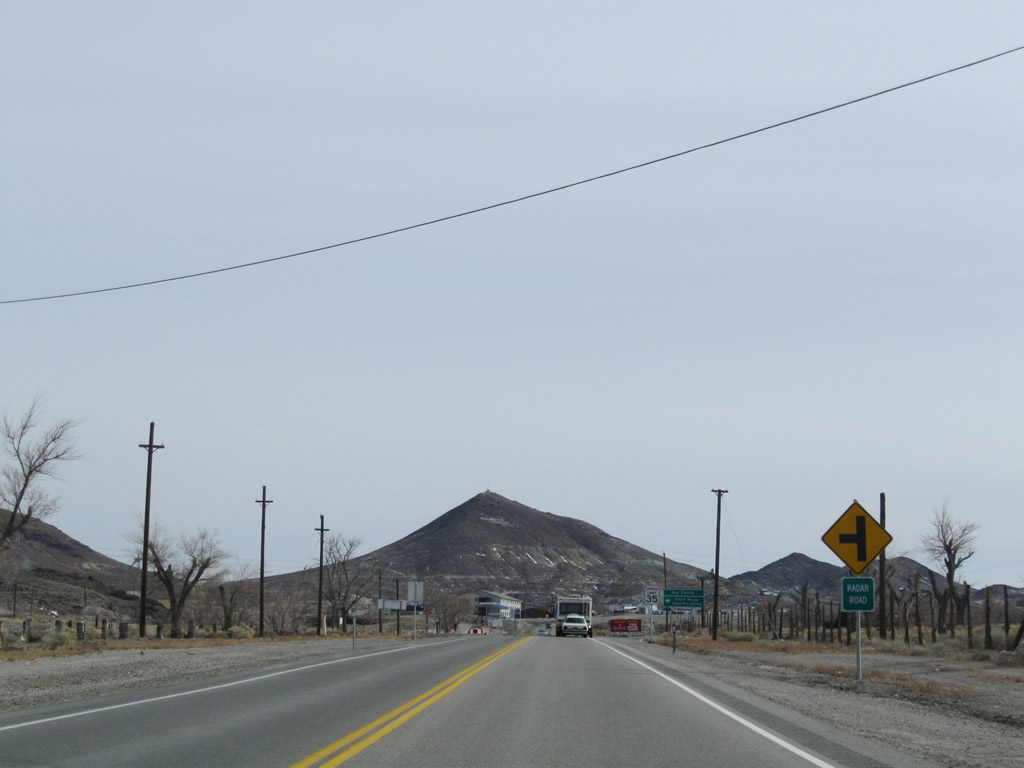
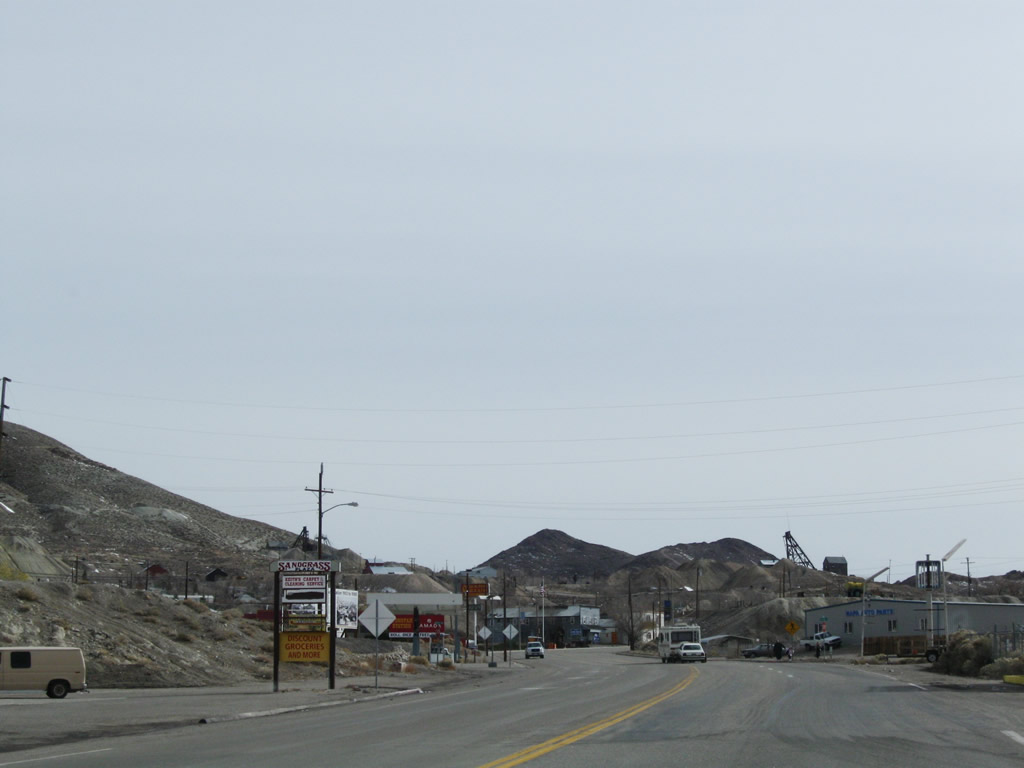
Entering the settled area of eastern Esmeralda County, eastbound U.S. 6 and U.S. 95 continue into Tonopah. Tonopah is actually in Nye County, and the U.S. highway will enter the town after crossing the Esmeralda-Nye County Line. Photos taken 11/11/08. |
|
|
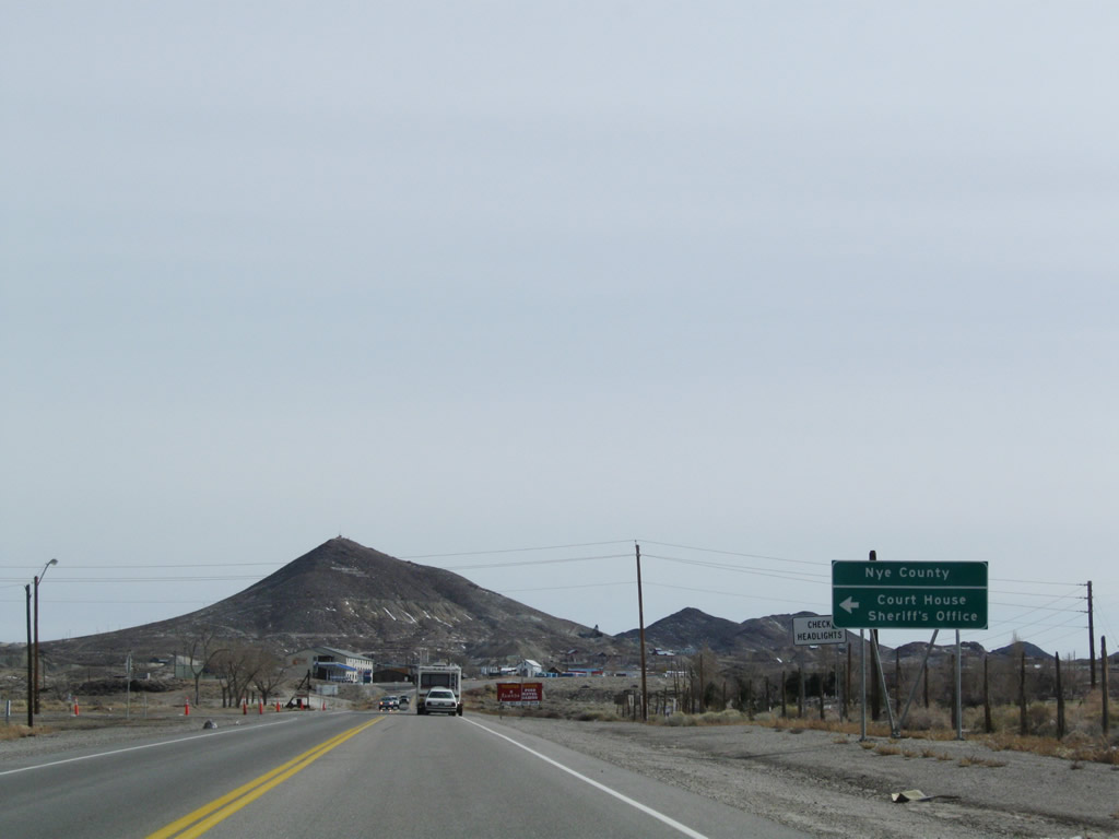
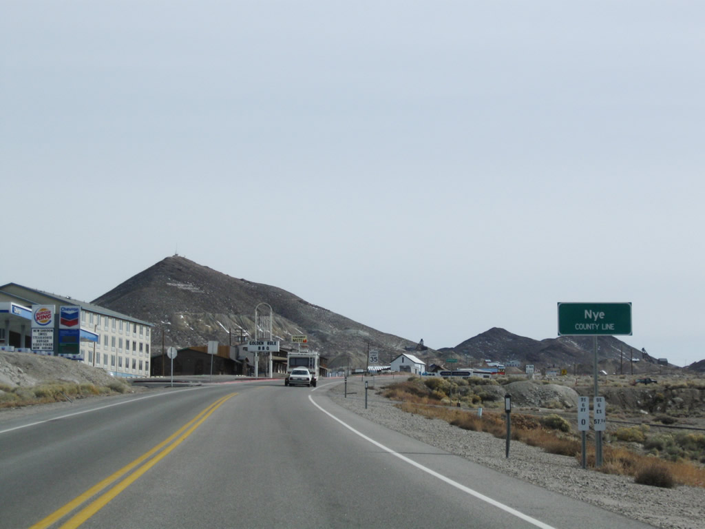
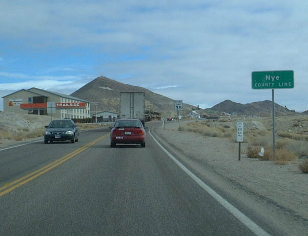
Soon thereafter, U.S. 6 east and U.S. 95 south enter Nye County and leave Esmeralda County. Nye County had a population of 32,485 as of the 2000 Census and consists of 18,159 aquare miles. Created in 1864 (the same year Nevada was admitted into the United States of America as a state), Nye County's economy includes ranching, mining, gambling, and legalized prostitution. Its southernmost corner has since signficant growth (in and around Pahrump) in the 1990s and early 2000s due to comparable growth in Las Vegas during the same timeframe. Photos taken 11/11/08 and 01/20/02. |
|
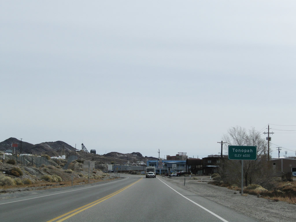
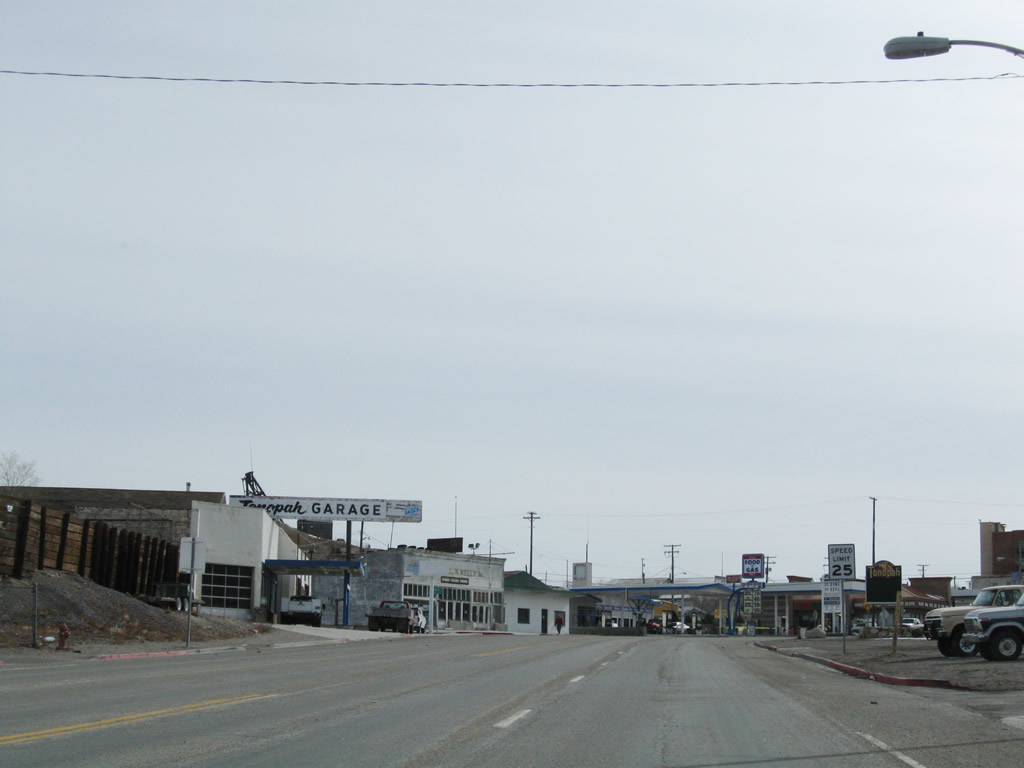
Eastbound U.S. 6 and southbound U.S. 95 enters the town of Tonopah, the Queen of the Silver Camps. Sitting at an elevation of 6,030 feet above sea level, Tonopah is unincorporated but was founded in 1900 and is the seat of Nye County. As of the 2000 Census, the population was 2,627 people and the town contains 16.2 square miles. Photo taken 11/11/08. |
|
|
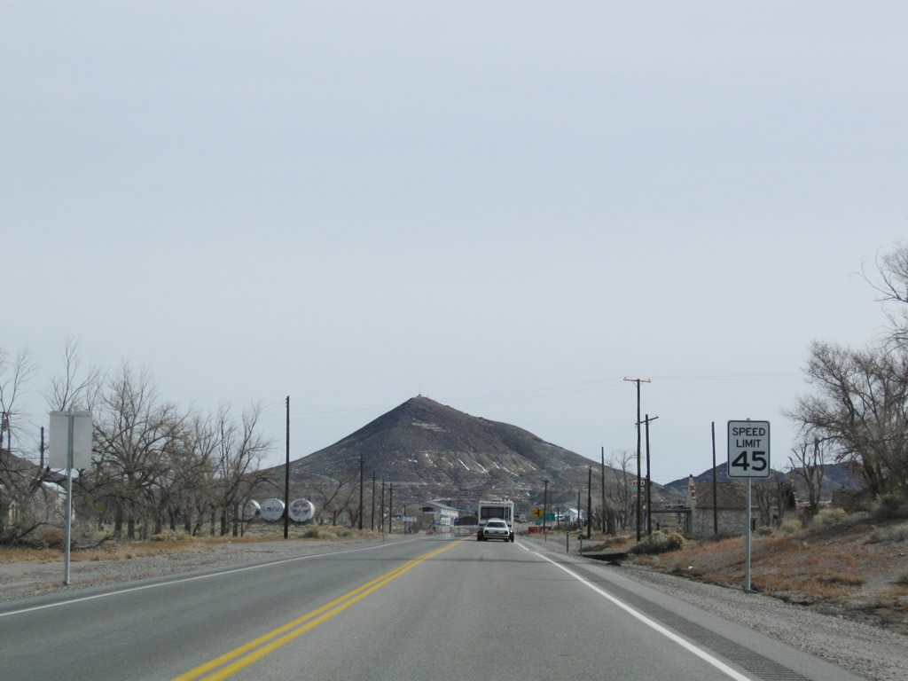
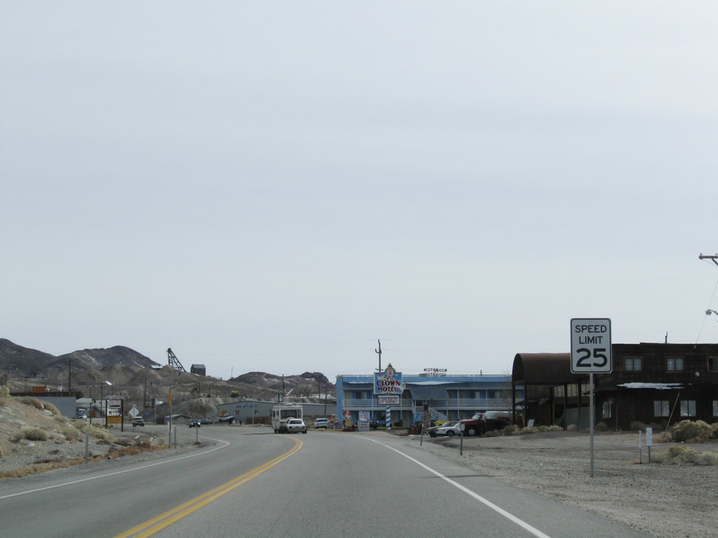
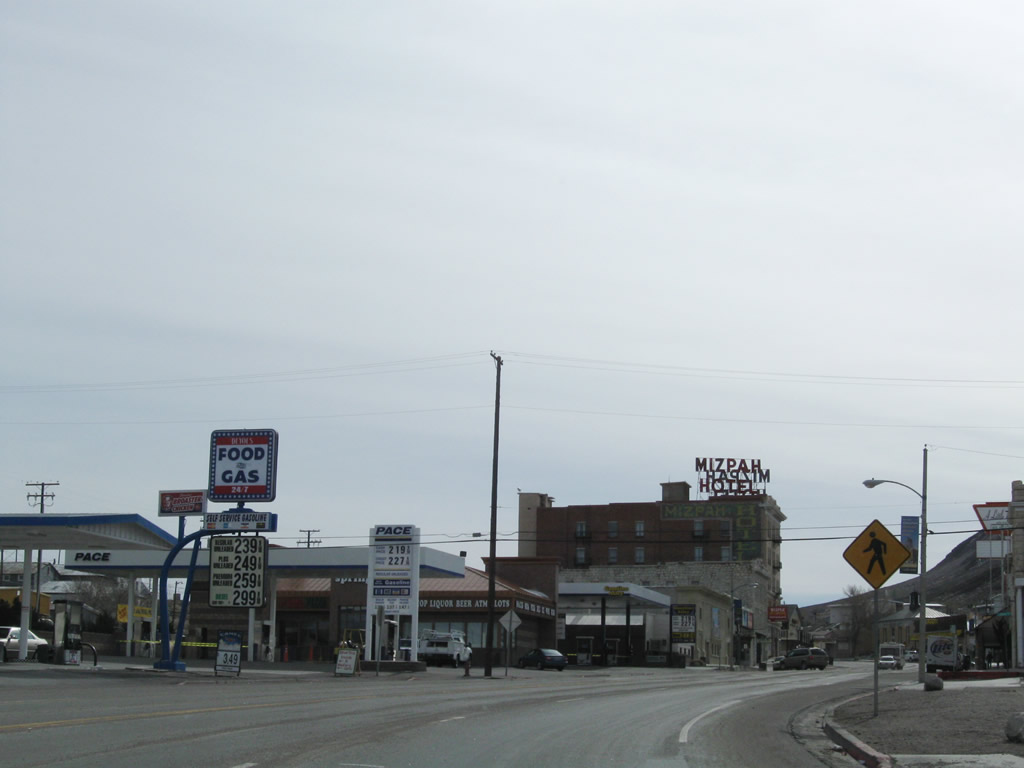
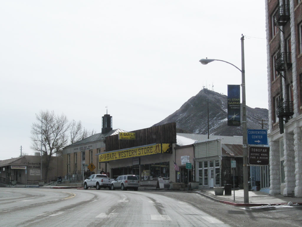
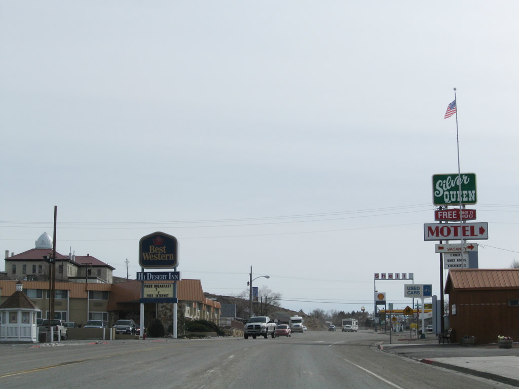
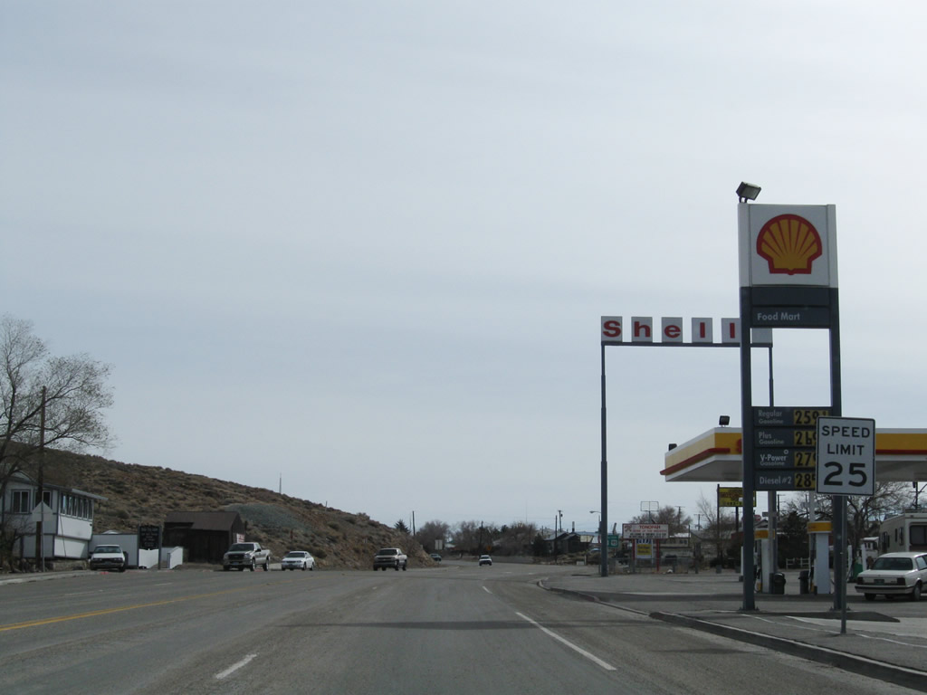
The speed limit reduces to 25 miles per hour as we approach downtown Tonopah. The seat of Nye County, Tonopah has the Nye County courthouse and most motorist services (gas, food, lodging). Photos taken 11/11/08. |
|
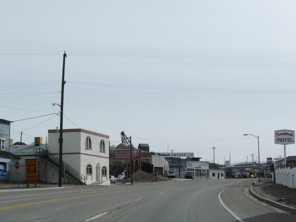
Like many old mining towns across Nevada, the town of Tonopah is steeped in history. This billboard discussed the Tonopah Train Depot, which was in existence between 1903 and 1980. To see remnants of the depot and other mining artifacts from the region's extensive mining history, visit Tonopah Historical Mining Park. Photo taken 11/11/08. |
|
|
|
|
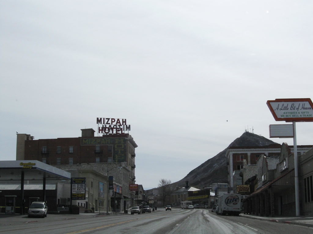
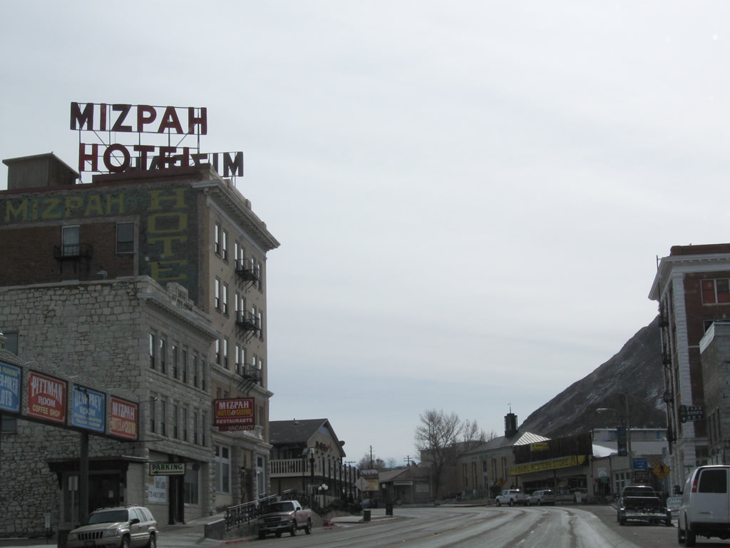
This series of photos follows eastbound U.S. 6 and U.S. 95 through Tonopah along Main Street. The highway turns nearly due south for a bit through the center of town. At the Brougher Avenue intersection, U.S. 6-95 turns south and becomes Erie Street. Photos taken 11/11/08. |
|
|
|
|
|
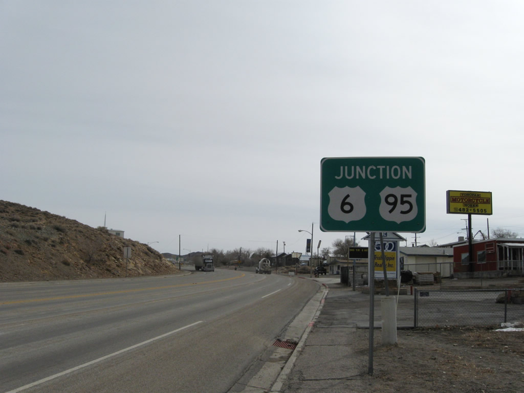
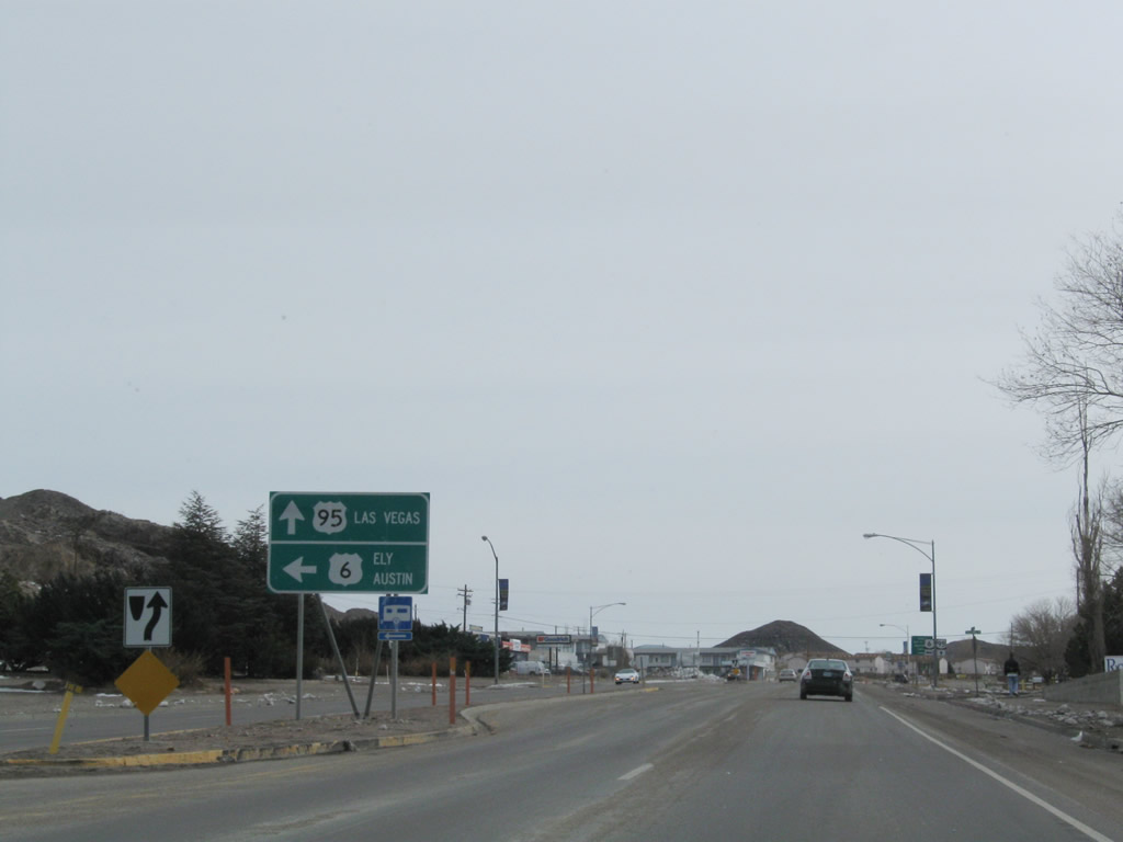
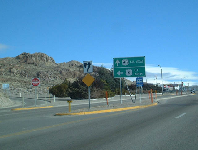
The routes divide in Tonopah. U.S. 95 turns south toward Goldfield, Beatty, and Las Vegas, while U.S. 6 begins its lonely journey toward Ely and the Great Basin National Park in eastern Nevada. Austin is located on U.S. 50, but it can be reached from U.S. 6 via Nevada 376 northbound. This particular sign was gone by 2008. Photo taken 11/11/08. |
|
|
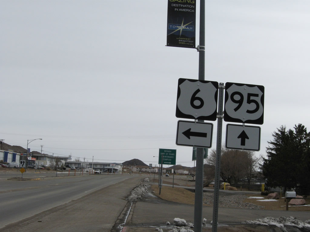
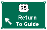
At the left turn for the continuation of U.S. 6 is this guide sign. U.S. 6 travels east to the Ralston Valley and Tonopah Municipal Airport, then reaches the McKinney Tanks Summit and Warm Springs Summit before meeting Nevada 375 at Warm Springs. Turning northeast at Warm Springs, U.S. 6 leads through Big Sand Springs Valley and Railroad Valley before entering Ely (U.S. 50 and U.S. 93) in White Pine County. Photos taken 11/11/08 and 01/20/02. |
|
These trailblazer shields are posted for U.S. 6 east to Ely and U.S. 95 south to Las Vegas. Turn left here for U.S. 6 east or continue straight ahead for U.S. 95 south. Photo taken 11/11/08. |
| U.S. 95 south |
|---|
|
After the split from U.S. 6 in Tonopah, southbound U.S. 95/Erie Street proceeds uphill to a few motels, restaurants, and gas stations. Due to limited services until Beatty, it is recommended to pick up gas and food before proceeding south toward Goldfield, Beatty, and Las Vegas. Photo taken 11/11/08. |
|
Passing by the Nye Regional Medical Center, the next intersection along U.S. 95 south is with Logan Field Road west and Howerton Hill east. Photo taken 11/11/08. |
|
As we leave town, southbound U.S. 95 reaches Tonopah Summit (elevation 6,256 feet above sea level). Around this point, U.S. 95 leaves Nye County and reenters Esmeralda County (population 971 as of the 2000 Census). This county, which has a small population, has a huge area, encompassing some 3,589 square miles of area. Esmeralda County was formed in 1861, prior to the inclusion of the state of Nevada into the United States of America in 1864. Gold and silver mining was part of the original growth of the county in the 19th century, along with other parts of Nevada. However, with the decline of mining activities through the 20th century, Esmeralda County today is very rural with only a few settlements within its expanse. Photo taken 11/11/08. |
|
Descending from Tonopah Summit, this mileage sign along U.S. 95 south provides the distance to Goldfield (26 miles), Beatty (93 miles), and Las Vegas (207 miles). Photo taken 11/11/08. |
|
For the next 144 miles, U.S. 95 is in a daytime headlights enforcement zone, which requires all traffic to use headlights during all hours (day and night). Photo taken 11/11/08. |
Page Updated February 15, 2010.