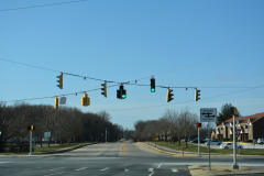
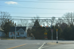
Photos taken from our travels across the United States. Albums cover a variety of highway imagery including signs, bridges, interchanges, traffic control devices and other infrastructure. Archived albums cover photos taken during the early years of the site, or photos showing stretches of highway before widening or major reconstruction, or an old alignment.
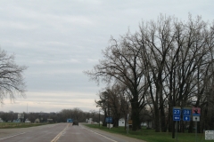
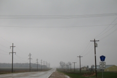
Minnesota 28 is a rural route extending 142 miles east from South Dakota 10 near Browns Valley to U.S. 10 in Little Falls. This album covers eastbound from the South Dakota state line near Browns Valley to U.S. 75 and MN 9 at Morris.

