
A New Orleans – and general south – trip from July of 2008.
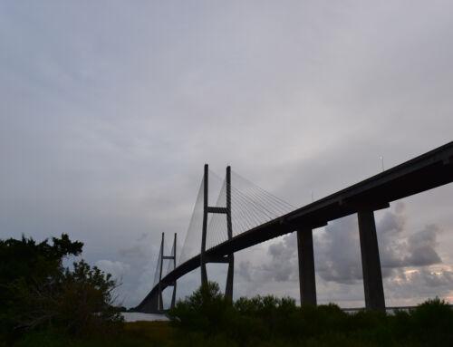
This is a glass cateye reflector sign. There are four of them, and they all date back to about 1936 when this bridge in New Orleans was opened.
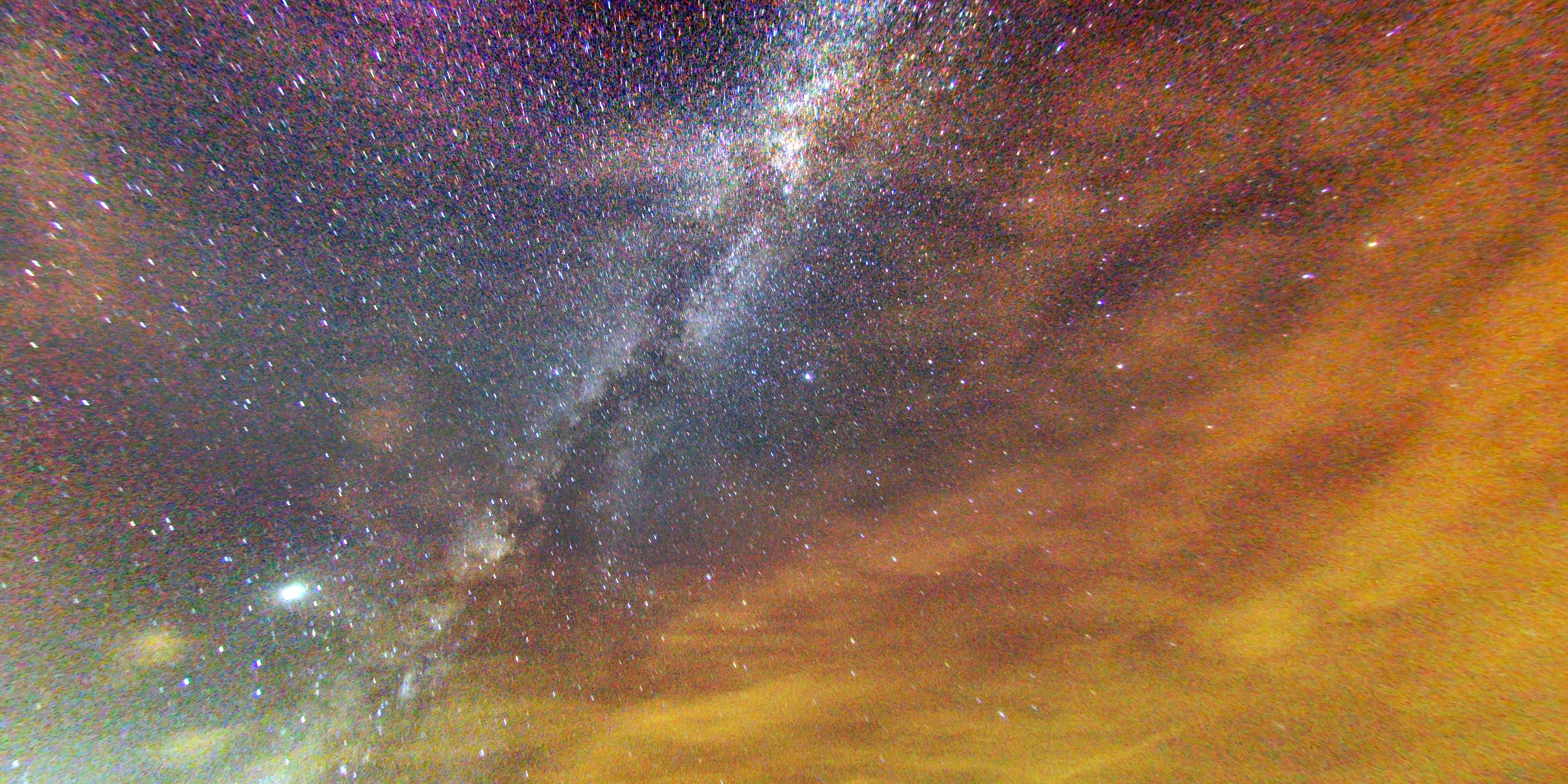
The Milky Way over partly cloudy skies. Lights from Shreveport are providing the orange glow.

Classic 1960s-style shields.
In the last few years, Louisiana has really started getting rid of these.
This is what they are being replaced with – new black state route shields, too.
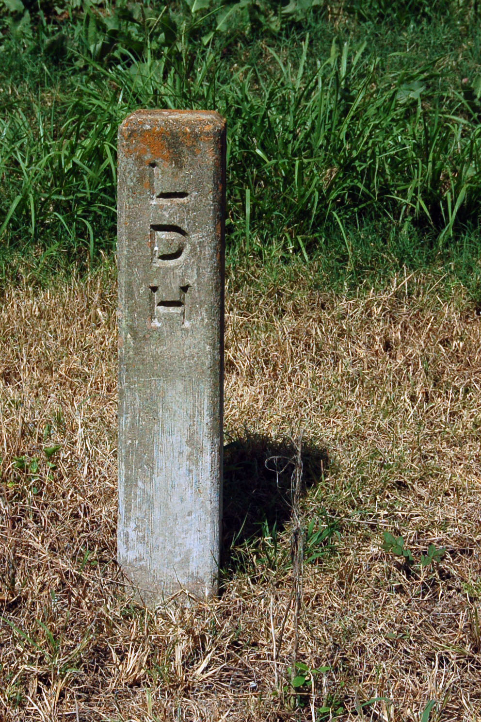
These right-of-way markers go back to the 1930s, if not before.
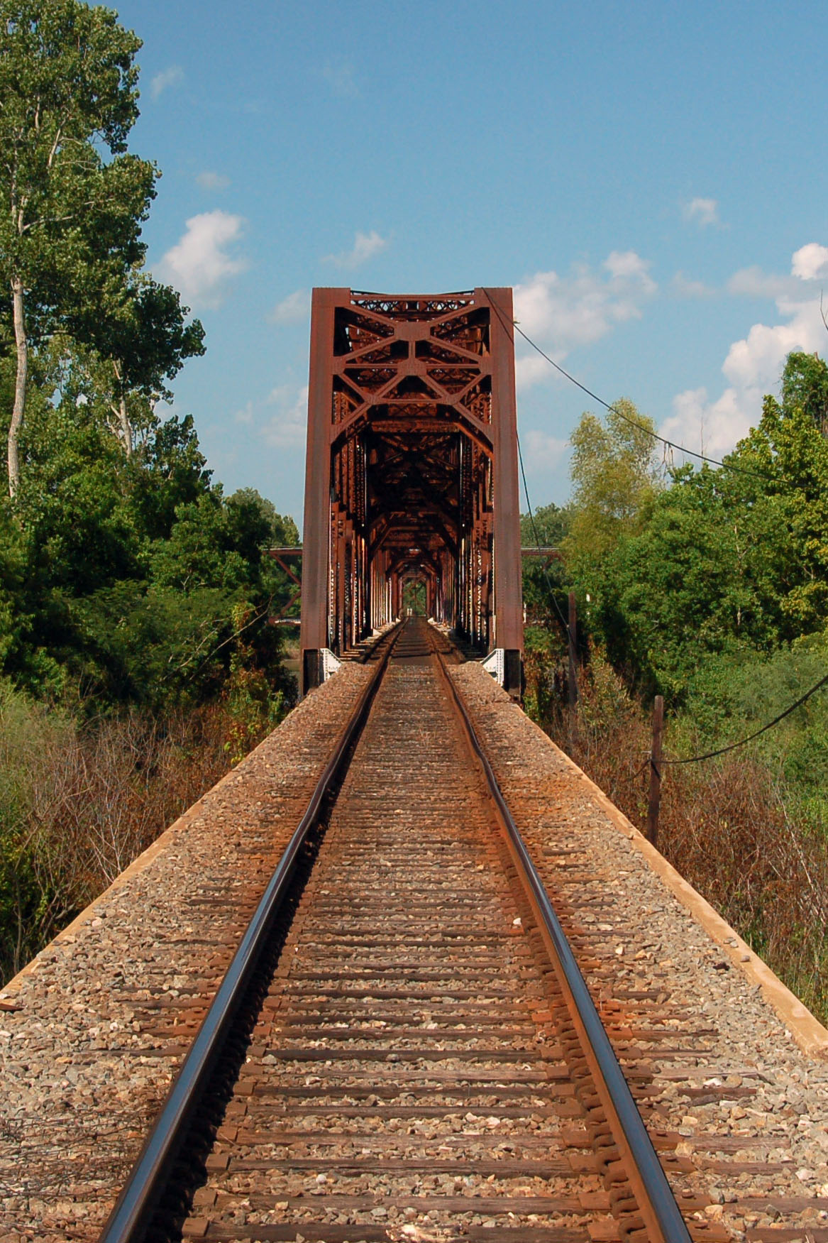
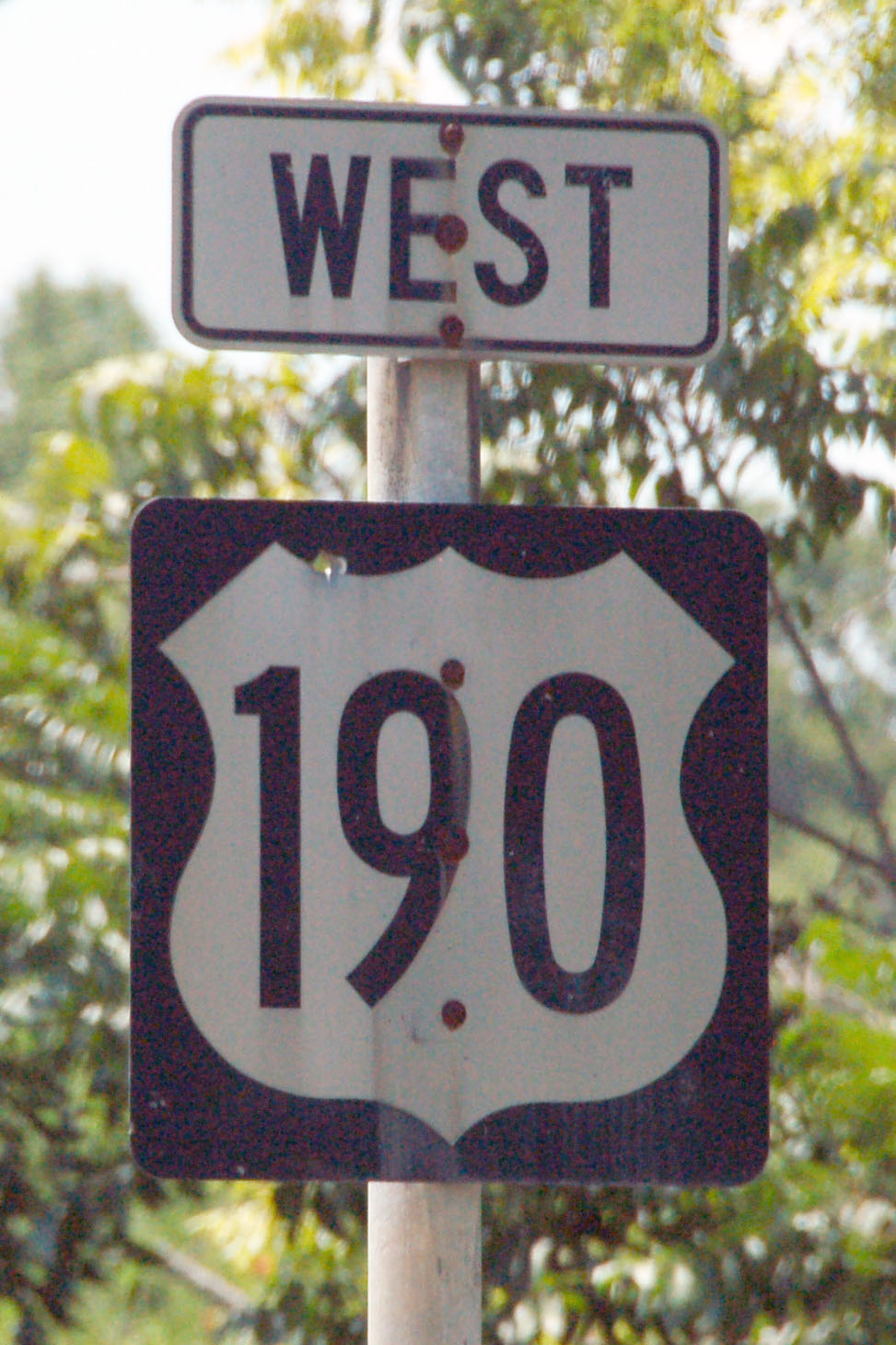
An old railroad bridge, somewhere along US-190.
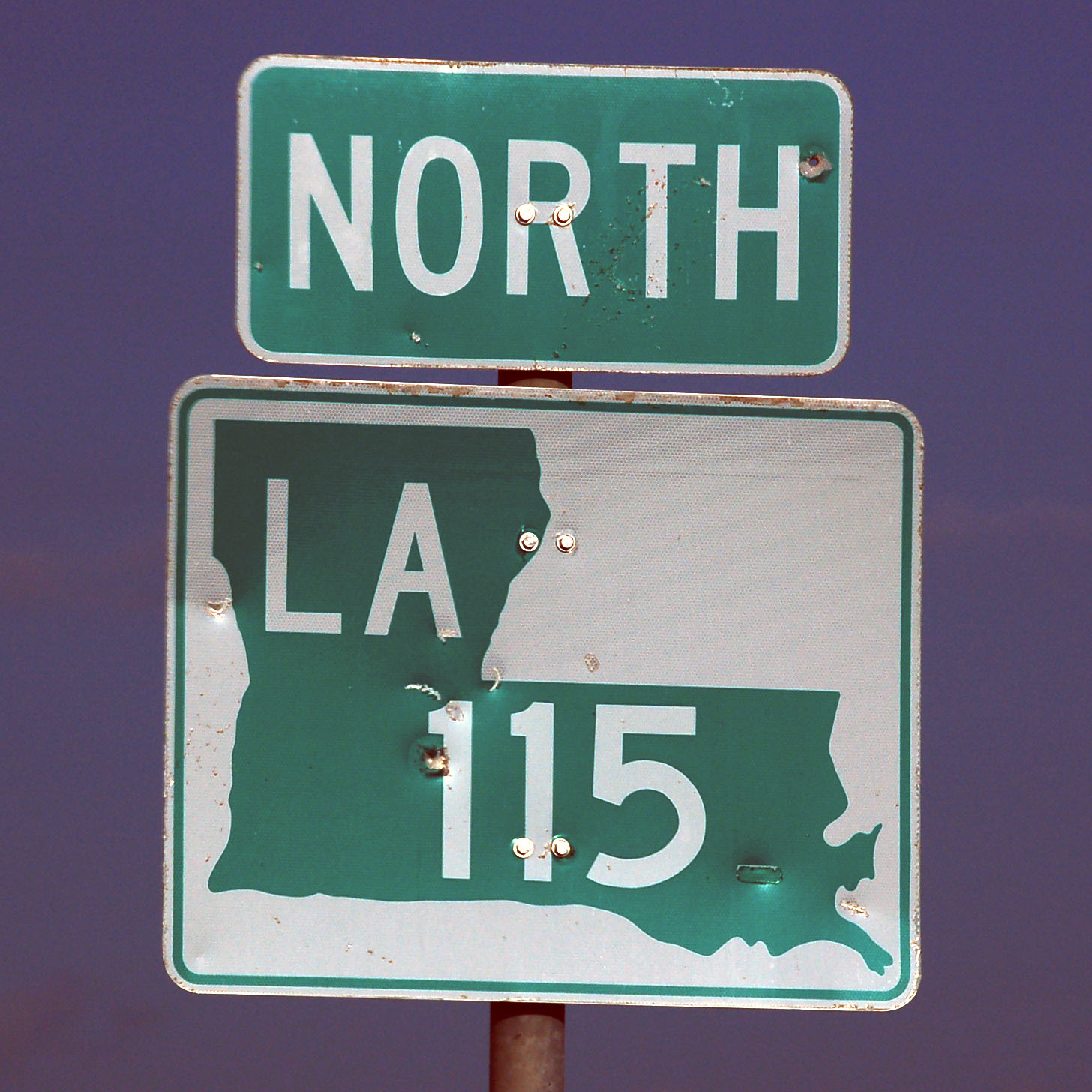
Older route markers have a somewhat poor approximation to the state outline.
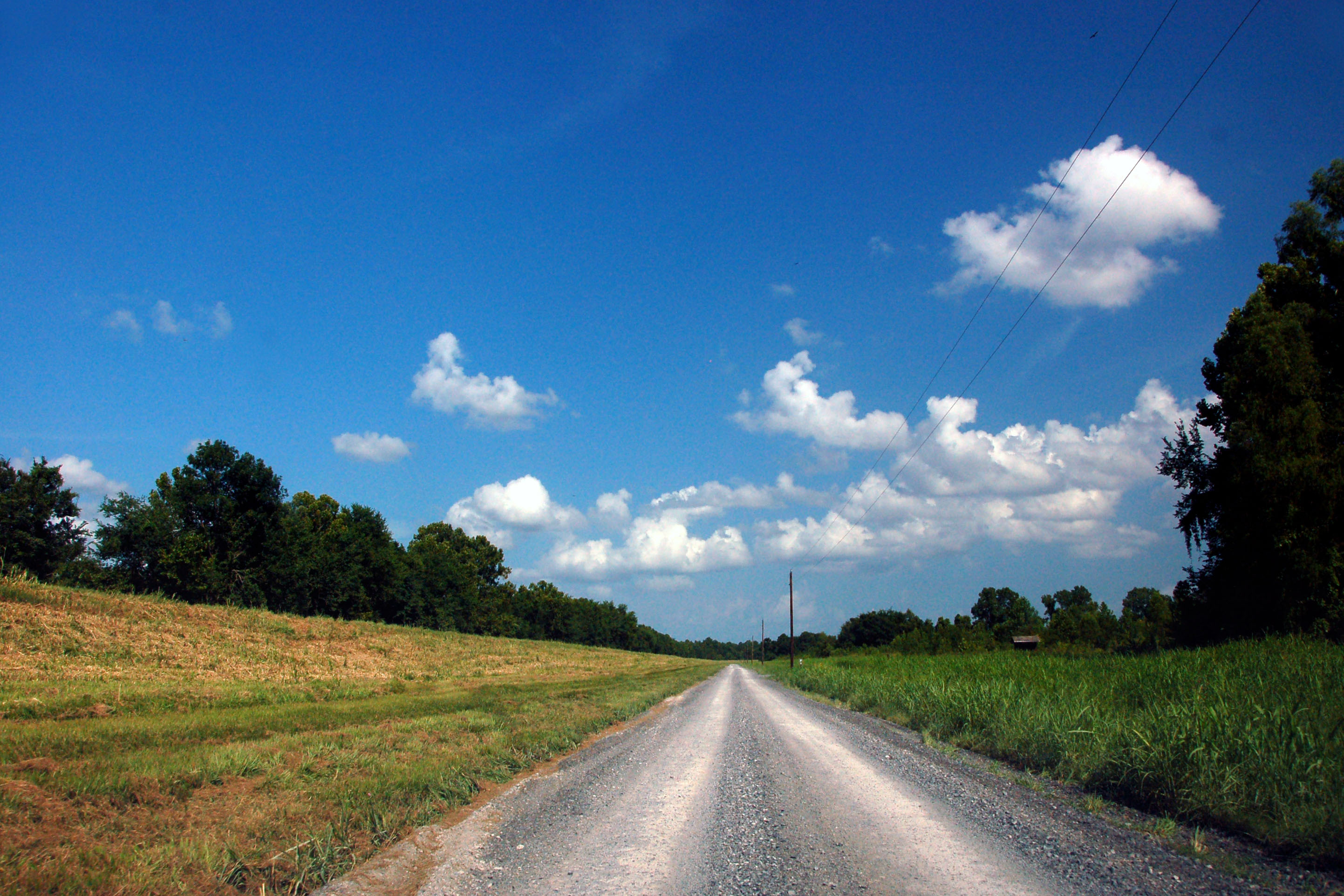
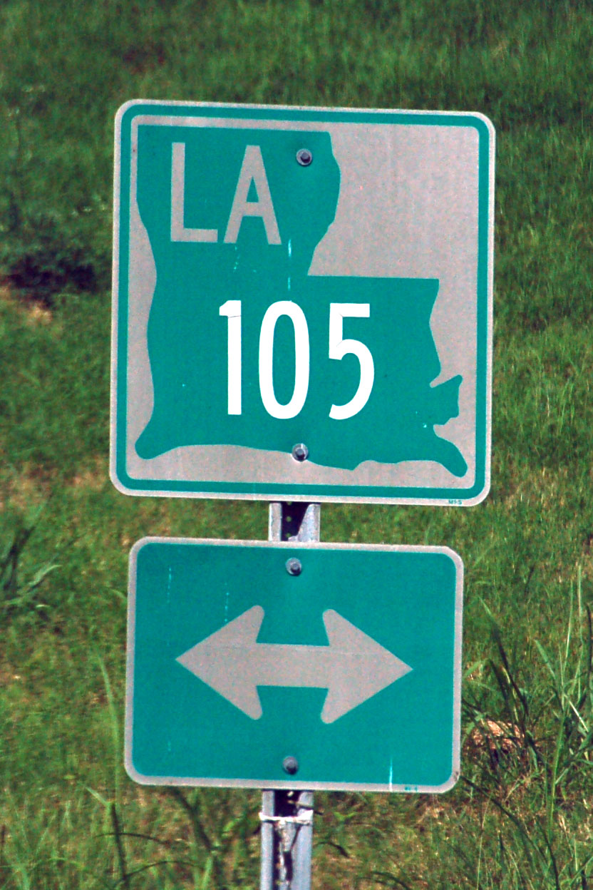
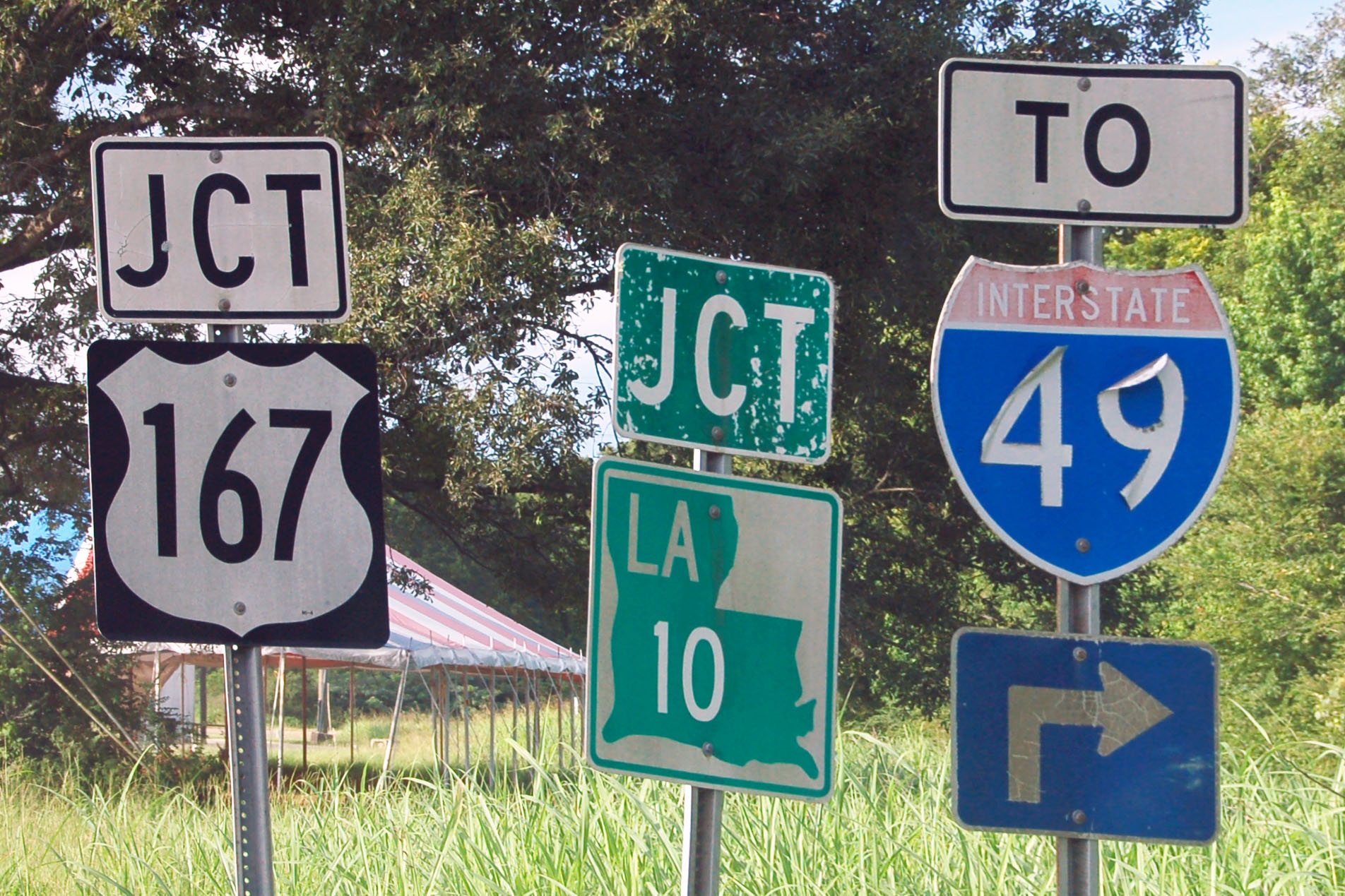
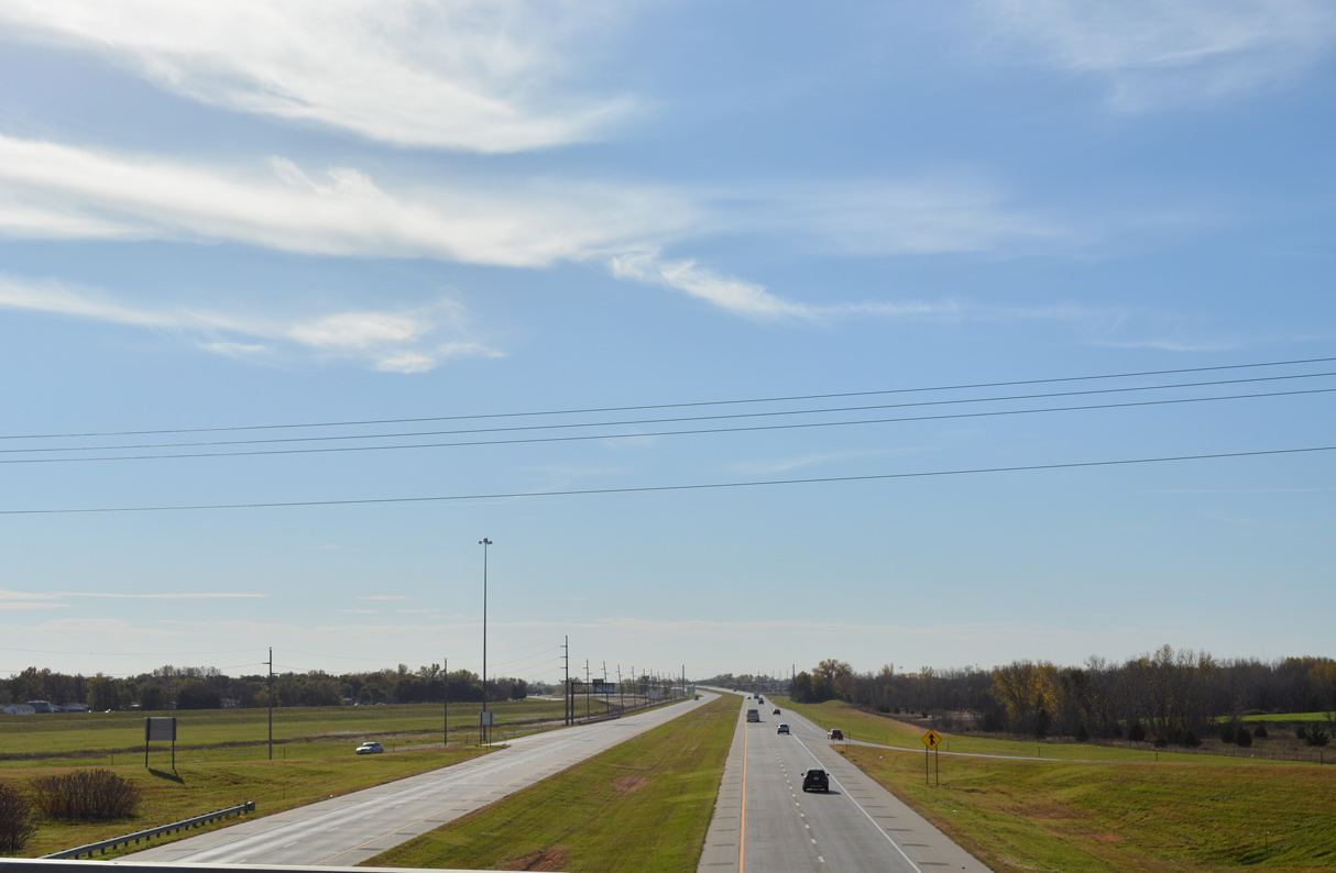
The most obscure exit to I-10 – a random dirt road. Do we find any state-named shields here? No, we do not. They are next to impossible to find in Louisiana.

Set the controls for the heart of the sun.
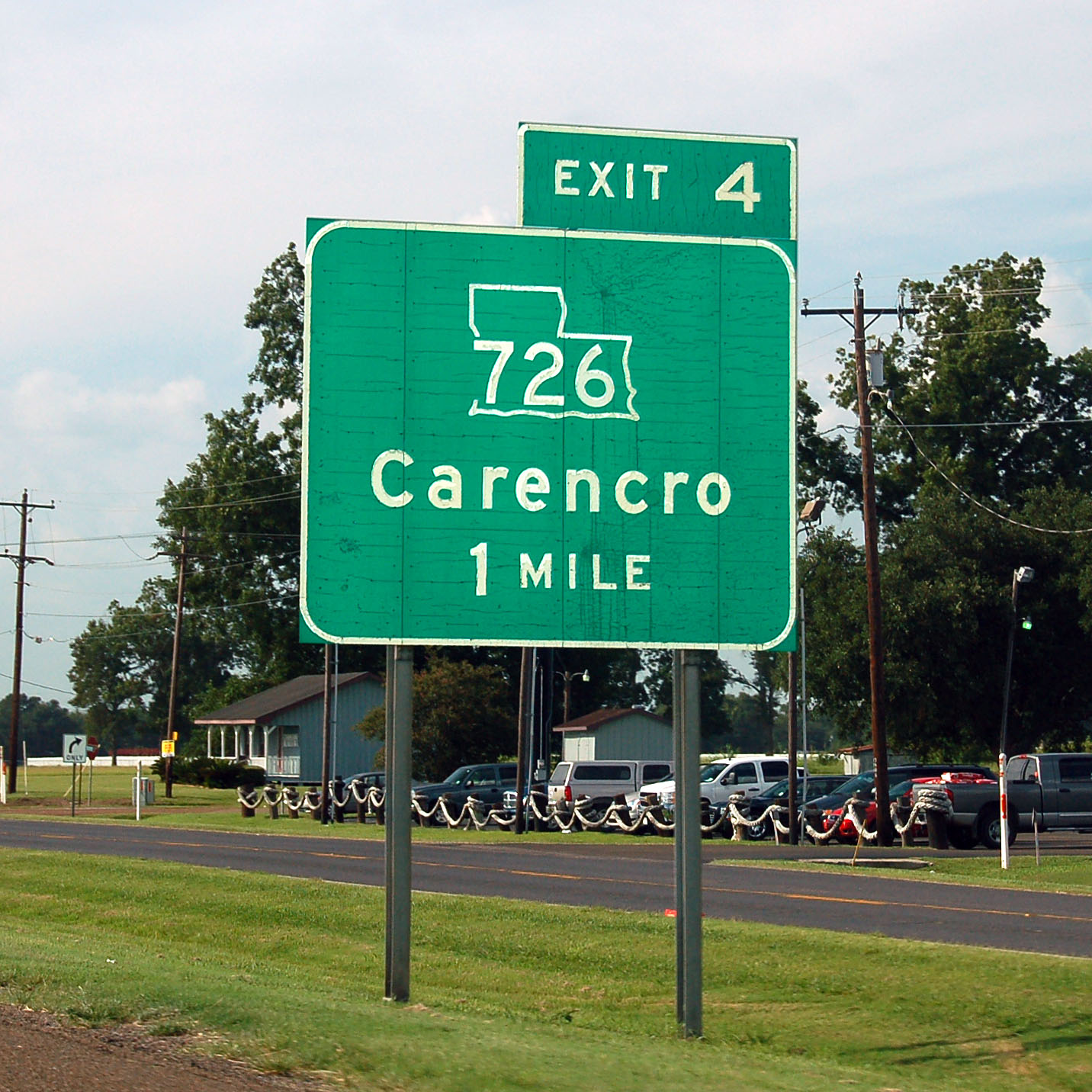
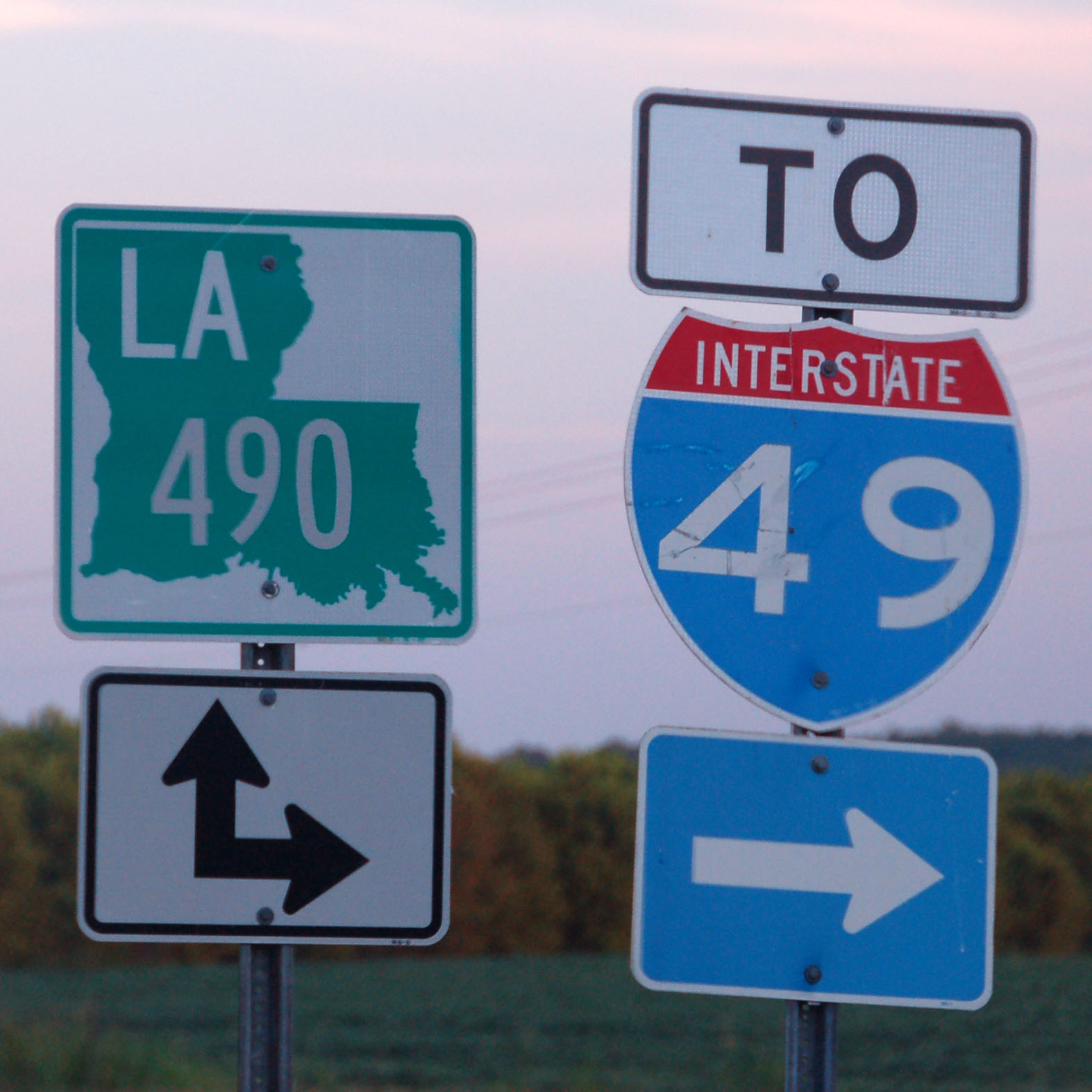
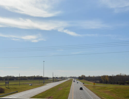
The first few miles of interstate 49 feature outline-shield green signs.
With very few exceptions, Louisiana stopped using state-named shields sometime in the late 1970s, so even the old and peeling examples will be neutered.
Louisiana tries its hand at wide shields. Bad idea.
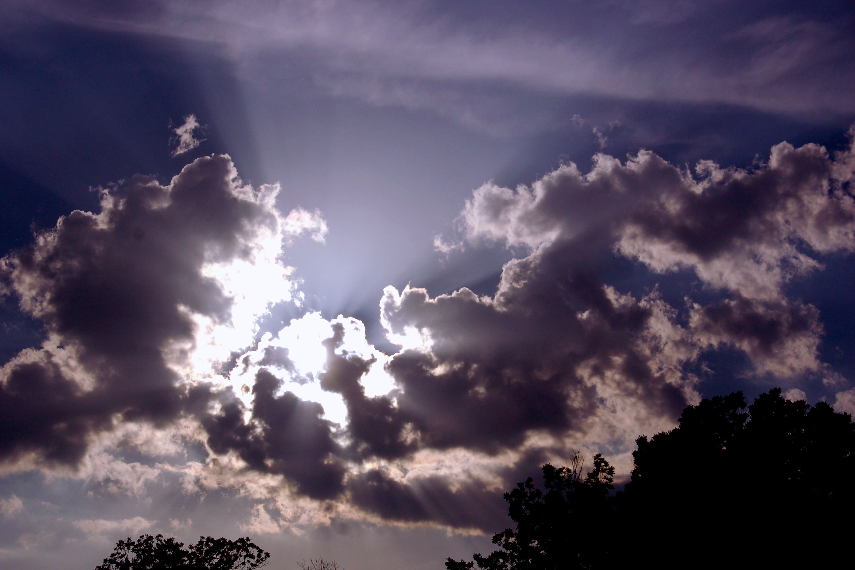
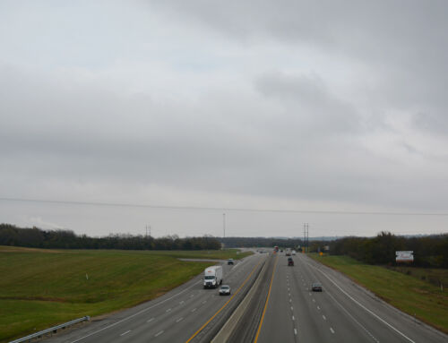
More clouds, somewhere around Alexandria.
Heading into sunset, along I-49.
This may very well be the oldest I-49 shield in existence.

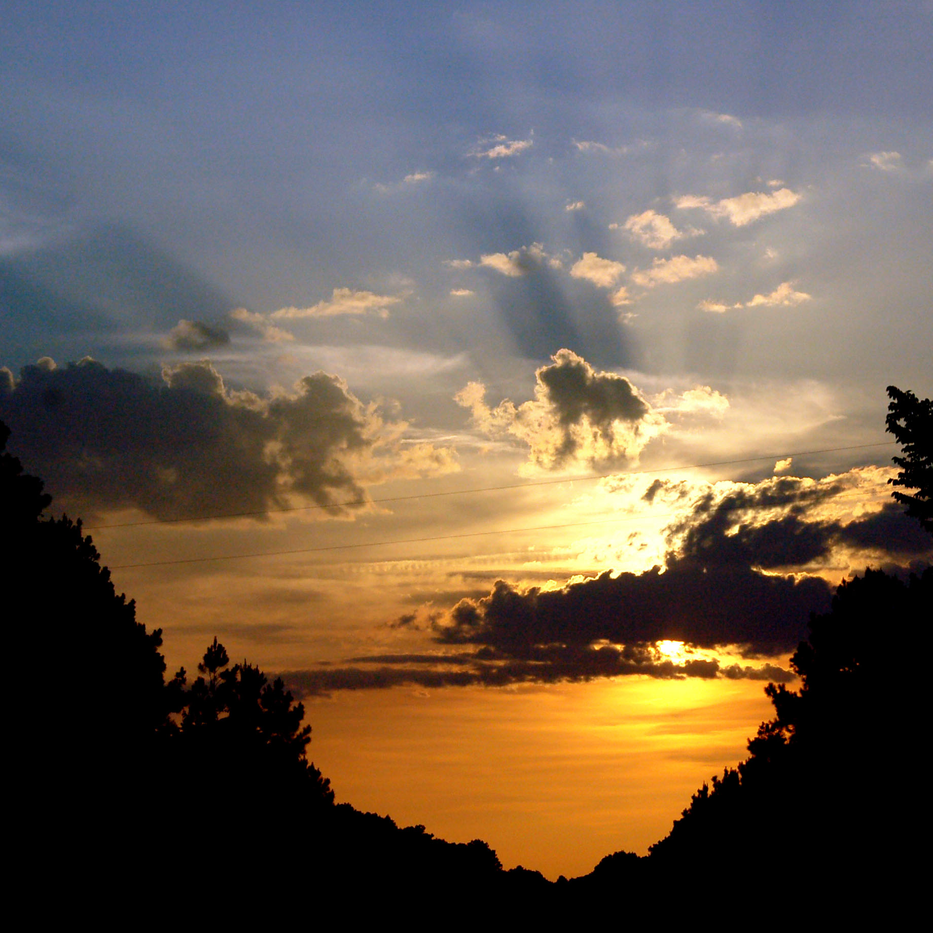
Getting close to sunset.

Nothing like driving straight into the sun. Finding the road is left as an exercise to the reader.
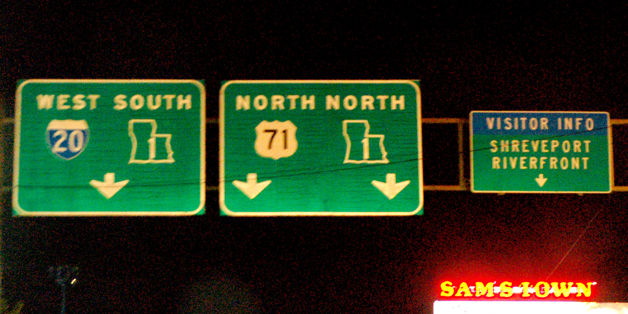
Here’s one in Shreveport. This sign was installed in 1993.
Some outline route 1 markers.
A rarely seen example of Louisiana’s custom font. They stopped using it sometime in the 1960s.
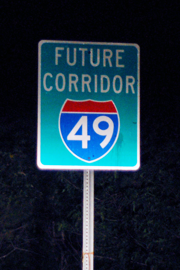
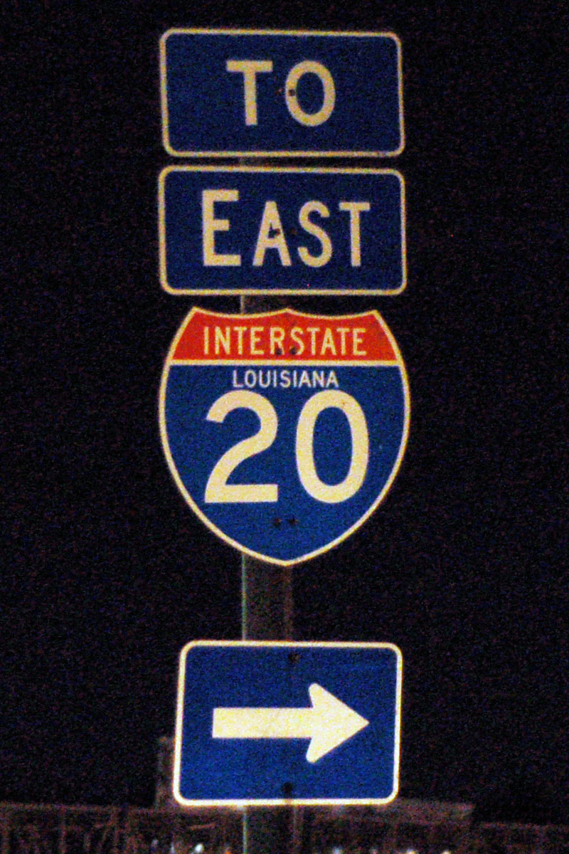
US-71 north of Shreveport is due to be upgraded to I-49 any day now.
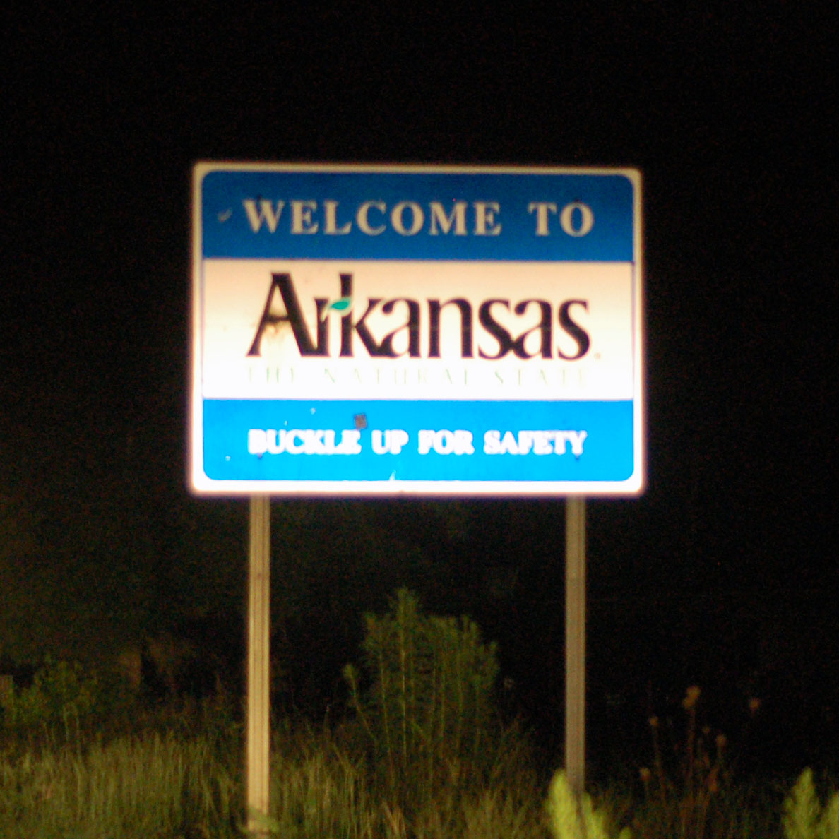
US-71 heads into Arkansas.
Arkansas now has Clearview. And that’s all for the first day of this trip.
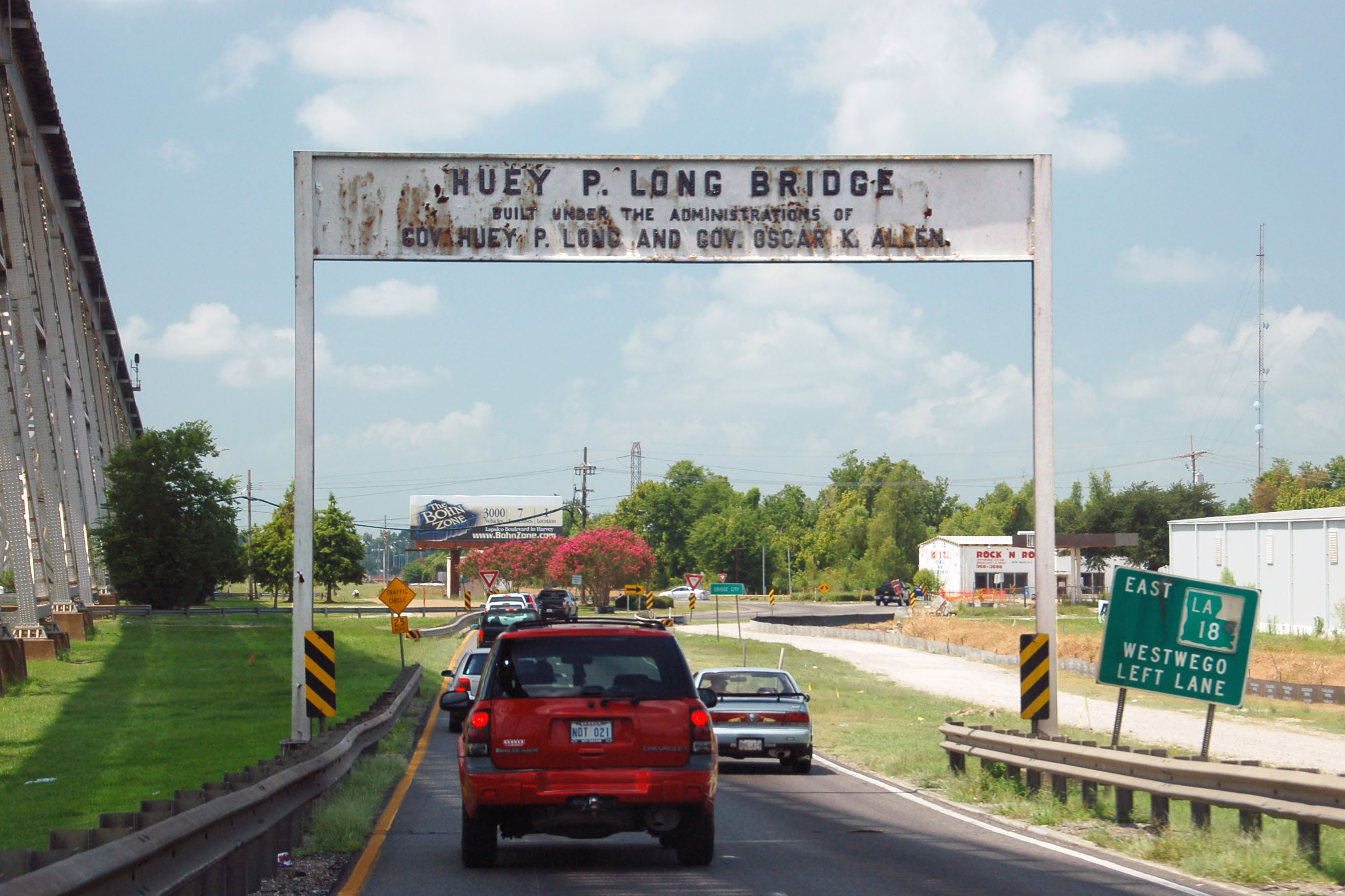
Plan a trip over the Huey P. Long bridge again in about a year. The new renovations and widening project will (hopefully) be complete.
The traffic circle on the Westbank end of the bridge has been eliminated as of a few months ago, and the Jefferson Hwy. overpass is being eliminated now on the Eastbank.
The new bridge approach will touch down beyond Jefferson Hwy on the eastbank eliminating the need for the overpass.
I don’t want to plan that trip because I just plain do not want to know that the cateyed 1936 Huey P Long Bridge signs are missing!
Sadly, the cateyed 1936 signs are completely gone.
So glad you took the time to travel through Natchitoches Parish! Beautiful countryside.
I’m writing to give you some information on a picture you have from Natchitoches Parish. The picture with the LA 490/I 49 sign is a road I have traveled many times. I have the original LA 490 sign from that location dating back to 1973. Let me know if you would like a photo of it to post on the website! I would be very glad to submit one.
Hello, Thanks for posting this. I am a local locations scout where is this old dirt road exactly?