

Day 3 features us exploring inland, into the Finnmarksvidda. So let’s see about the etymology of this word: “Finn” is Finn, to reflect the locals; “Mark” is Mark, as in the Experience; and “Svidda” is the land of snow, ice, and a whole everloving metric ton of reindeer and not much else – except for that one guy with his airplane.
No, I didn’t get a photo of the airplane – I was about five kilometers away by the time the logistical awesomeness of the guy with the airplane dawned on me. Let’s think here; we’re about three hundred kilometers from anything approximating civilization – and here’s a guy with a little airplane (a Cessna 152 or the like) parked in front of his house. From where does he take off? And where does he land? Well, there’s a really flat and straight section of highway 93 running past his house… and a car comes by once every 45 minutes, if that…
now that’s badass!
We start not too far away from familiar Nordkjosbotn, and then head southeast into Finland and Sweden for a bit, before crossing back into Norway. The sky remains overcast for most of Day 3, and thus the scenery is correspondingly bleak. This is about as “middle of nowhere” as it gets.
Then, a mad dash back to the coastline, where the weather is supposed to improve, a crossing of the Tana river – the unofficial boundary between “the hinterlands” and “the even-more-hinter lands” – up to Vadsø, a brief excursion into a snowbank, and hey, the northern lights, just to say we did.
Surprisingly, there are some places where one can walk down to the water’s edge without stepping in eight feet of snow. Note the clear sky, and remember it well. We will not see it again for quite some time.
Rainbow skies, just west of Vadsø. This, by the way, is right after I plugged a snowbank. I tried pulling over, and, well, the snow may be deeper than it looks at first glance. Sink!
There was a very nice active phase right overhead, but I had no time to look; I was busy standing in the middle of a dark road wearing an American-made orange reflective vest… waving my arms, flagging down a cute Norwegian girl in an Audi A6, for whom it was apparently second nature to pull a dumbass tourist in a subcompact out of the snow. 255 horsepower and survival gear is par for the 70-degrees-latitude course.

Spot the typo. It’s a subtle one. It’s supposed to be Kilpisjärvi, not Kilpisjárvi. Apparently, not even the Scandinavians can keep track of each other’s diacritic marks. In any case, we’re going there. Only later are we going to Kirkenes. For now, we head inland.
Dawn.

E-8 is the Northern Lights Route. Don’t tell anyone, but that’s where I saw the least of the northern lights: inland. All the good sightings were among the fjords.

Graffiti in a toilet stall. Apparently, someone from Murmansk, Russia was here in 2003. I am quite sure that “San Diego” was the most distant place to get signed.

The Northern Lights Route information sign. Along with the four previously seen languages, we have Sámi.

Let’s learn some Sámi. You first.
The absolute last of the sun.
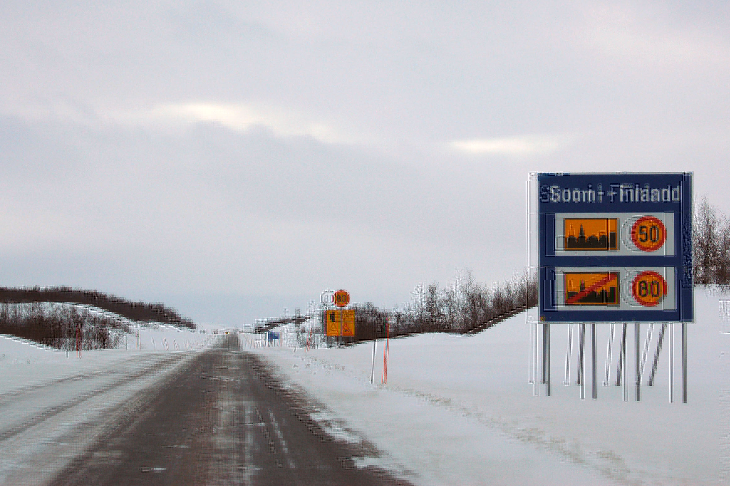
Finland, everyone!
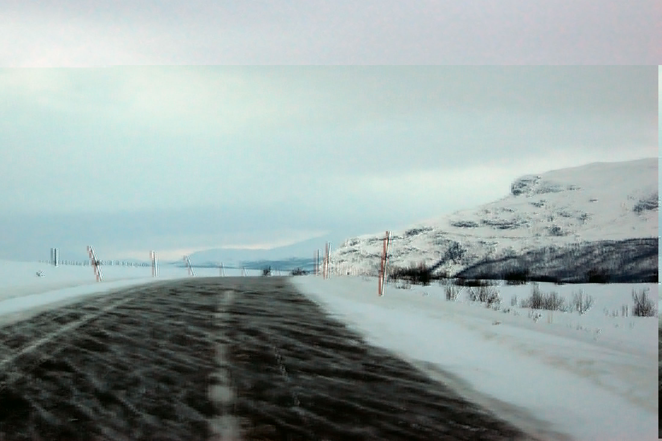
Snow blows across the road.
Finland is grim.

600 meters to the Swedish border. We’ll be back in Finland soon enough, but we may as well poke around Sweden some more too.
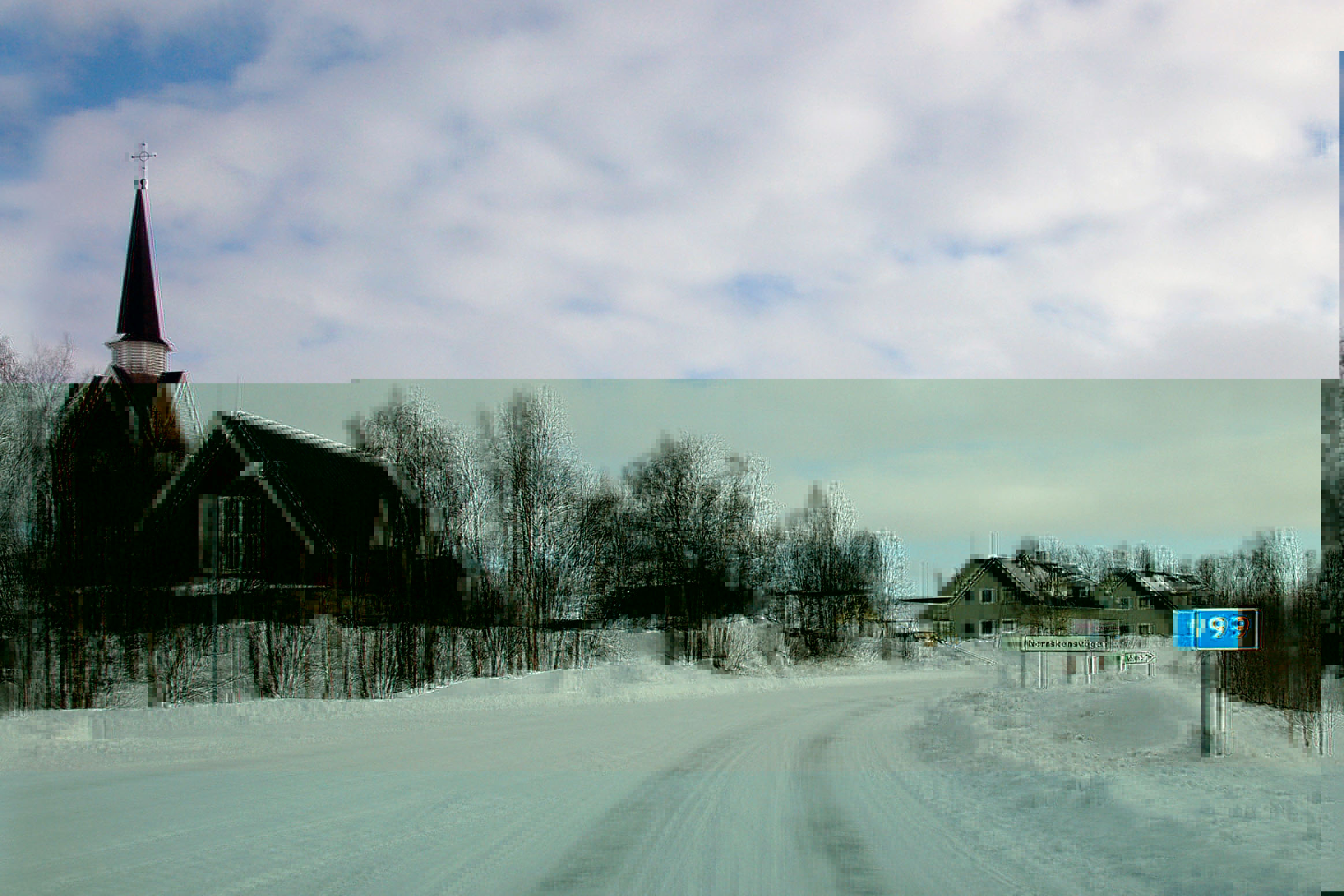
Sweden. A rarely seen stand-along marker for highway 99.
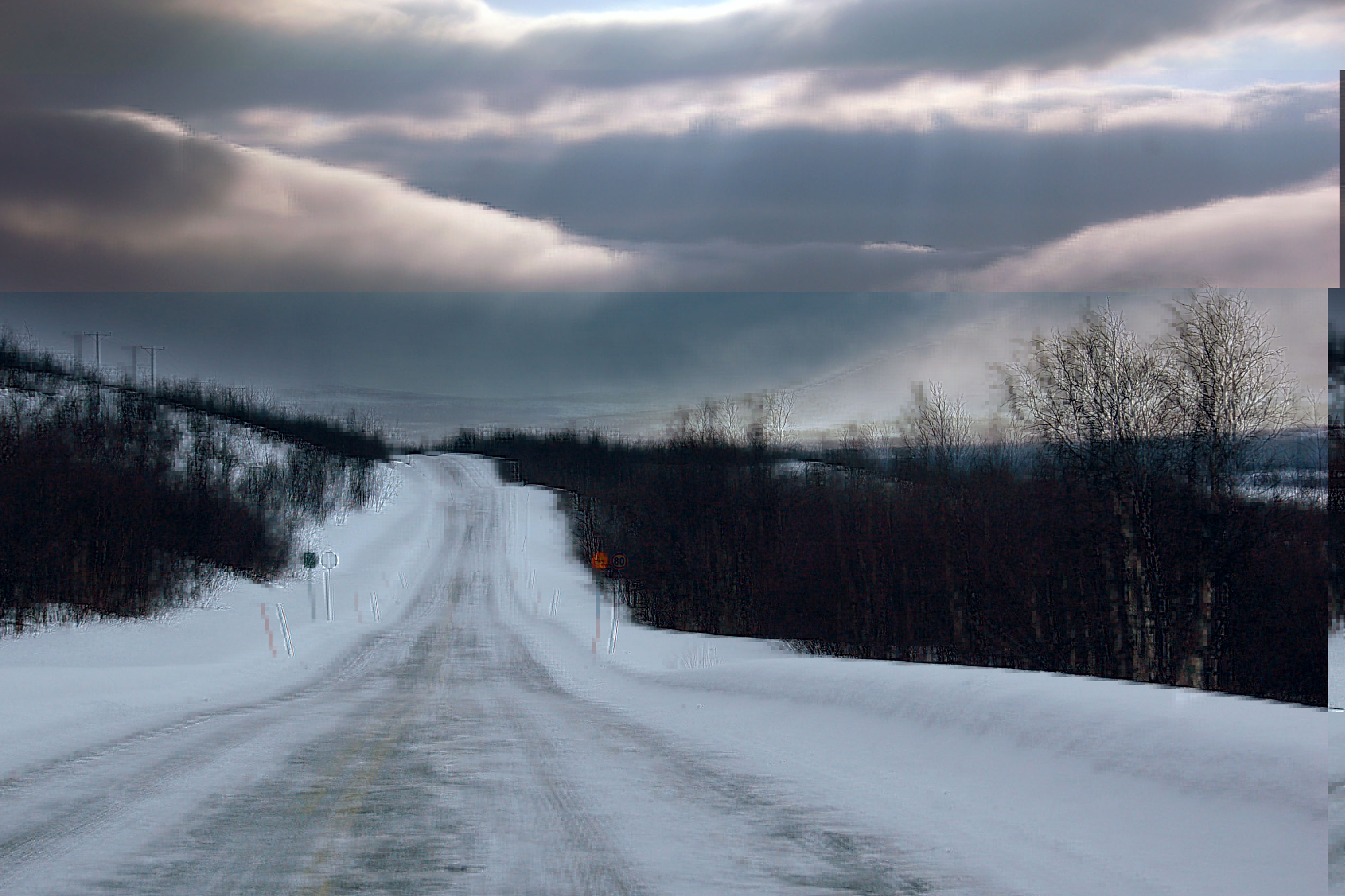
The highest speed limit in this area. Good luck going that fast on this road, though!

A terrible picture of a cutout guide sign. It dates back to before 1965! I saw four in a row in Sweden, didn’t think much of them … didn’t see another until Finland!

Sweden prefers blue and yellow arrows at its T intersections. Here at Muodoslompolo is the farthest south we get on this entire trip, except for that brief run to almost-Kiruna the day before.

English pops up in the randomest of places!

And here’s the cutout guide sign in Finland. Yep, we crossed over from Sweden. I didn’t even bother taking a photo of the border crossing; it was that uneventful.

And here’s Norway, for good this time.

gas: 96 kilometers. For around here, that’s not particularly far. I do not know why they signed it – I saw distances of as much as 300 kilometers remain unsigned.
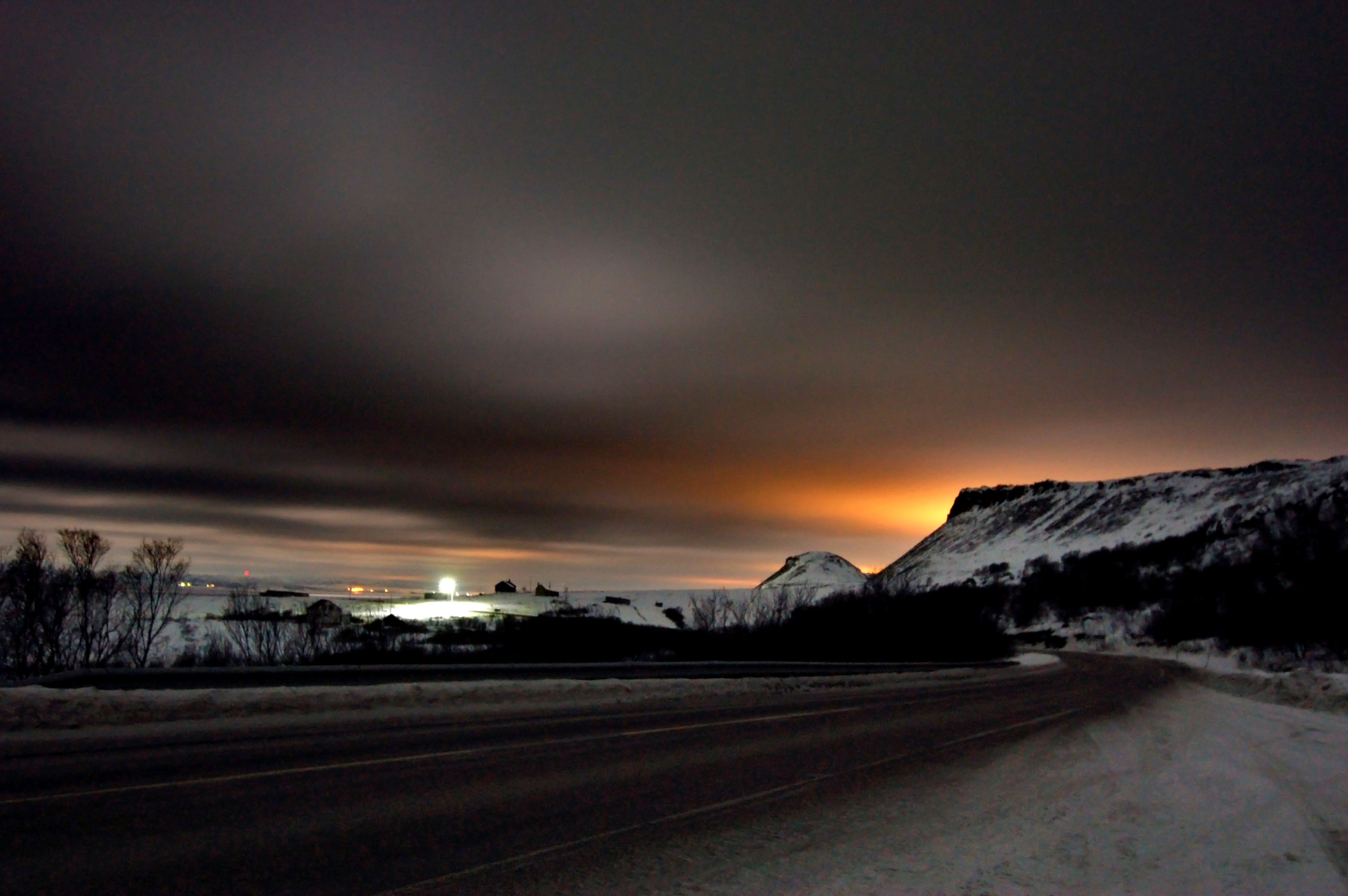
Some color. The pink is provided by the streetlights in this parking area.
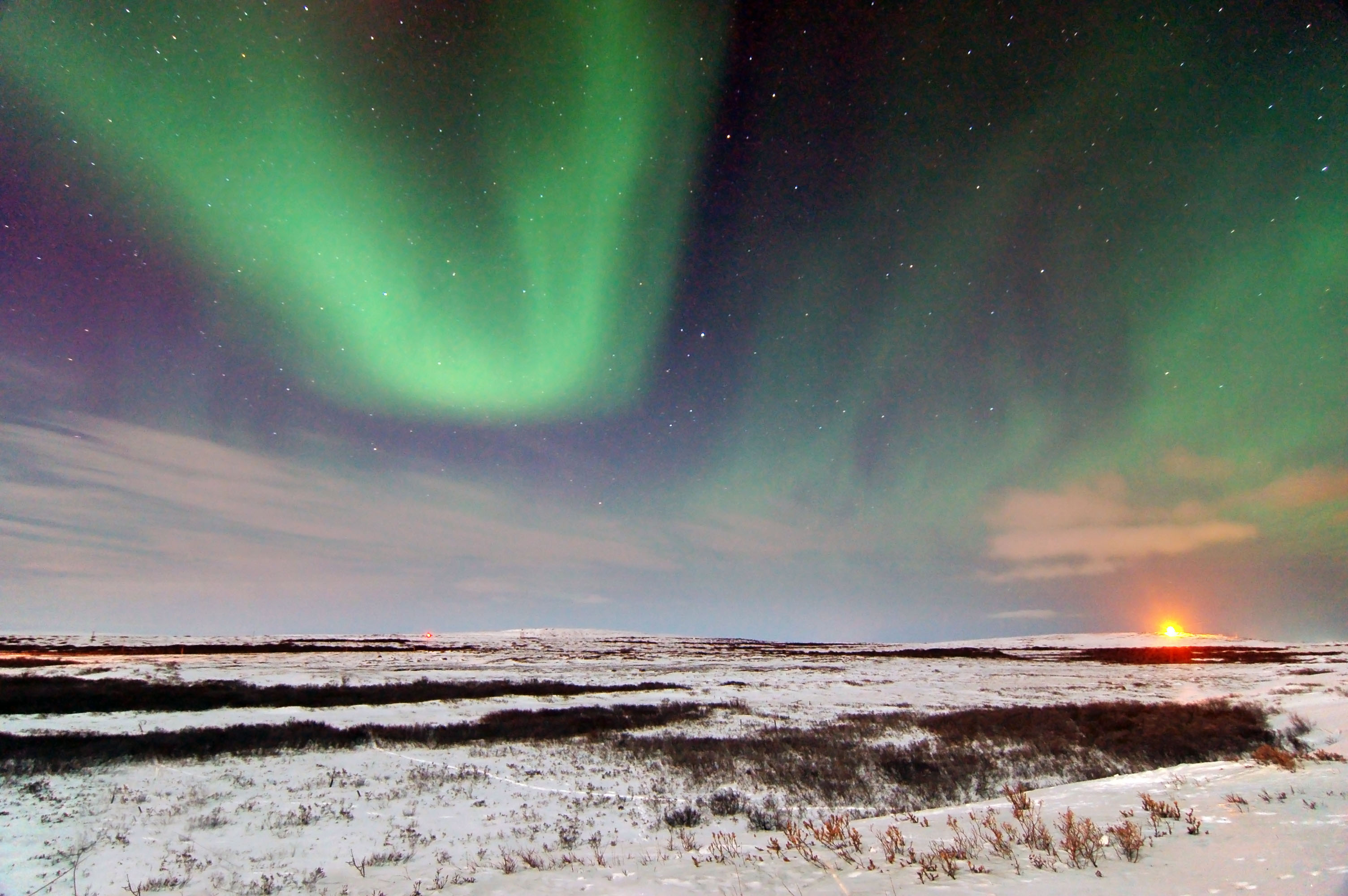
Some color for real this time. Despite having no actual idea where the weather was, I managed to escape the doom and gloom by the critical hour. Just past the Tana bridge, here are the northern lights!
The car is, appropriately, heading north.

A very brief active phase. Vadsø in the distance.
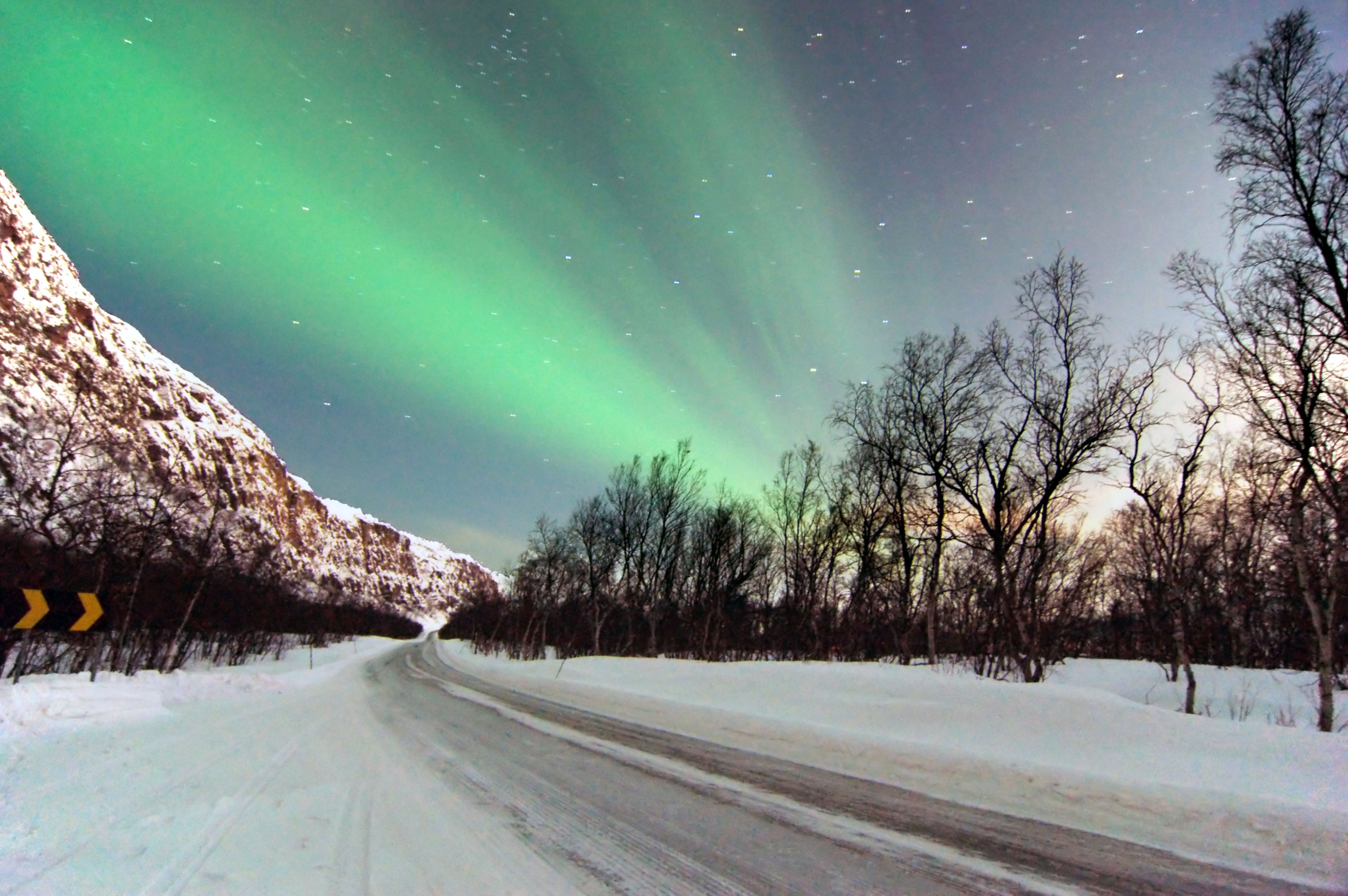
Another flare, over desolate plains.
Clouds ahead… and clouds behind. Here’s where I turn around, to double back and take the road north to Berlevåg, to see if it is clear there.
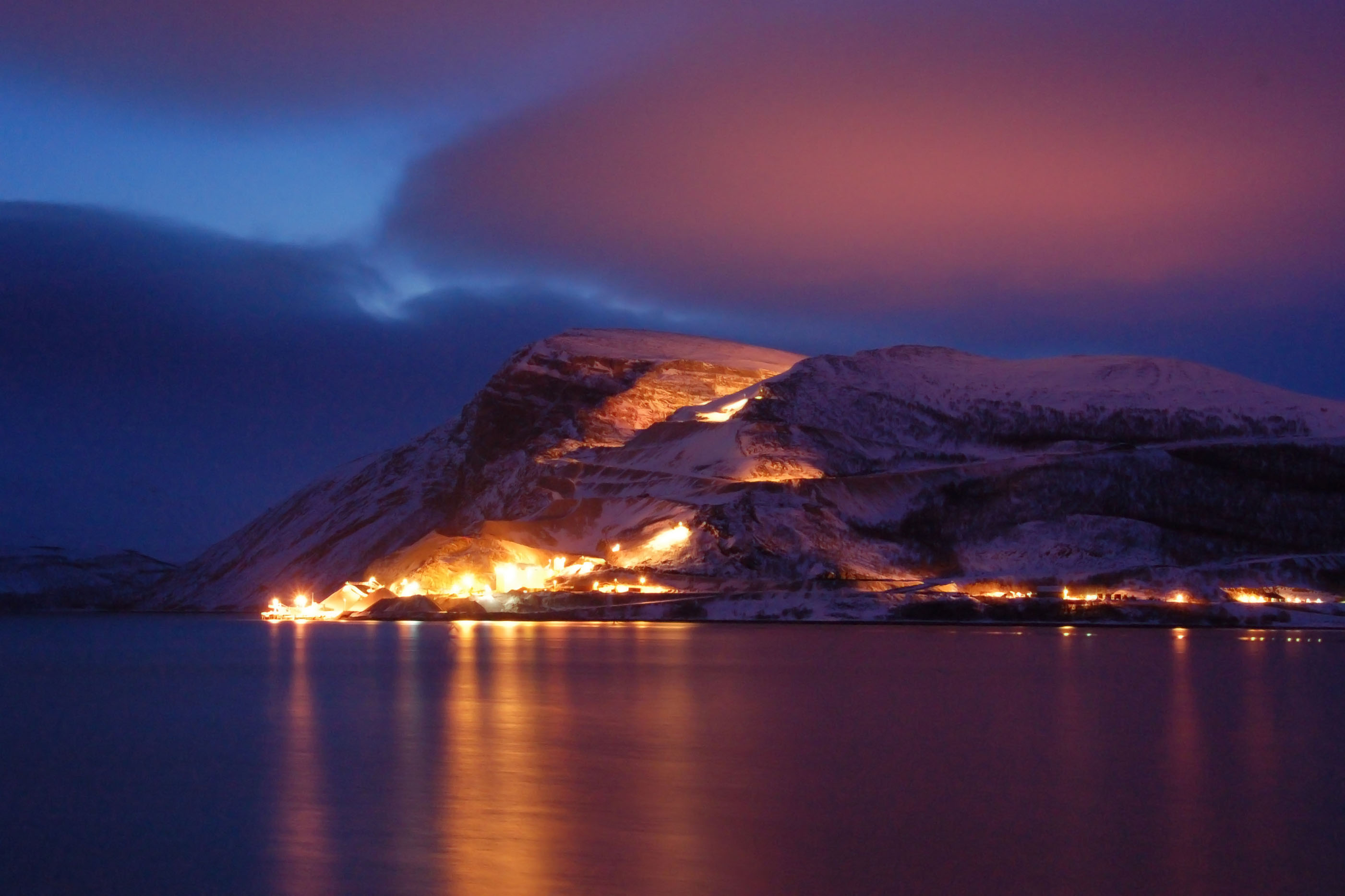
That worked out well.

The snowplow schedule for the road ahead. The 7am service doesn’t run on Sundays. Pretty dang regular, though: those scattered villages have to stay on the grid! I labelled Turjavri on the map – it’s not even a village. It’s a snowplow shack, and a schedule on a big sign. That’s it.

This is actually the coldest it got during my entire trip. Not bad at all. (-16 Celsius is about 3 Fahrenheit.)
Dawn. Again. We’re looking across the Tana river at the village of Máskejohkguolbba. (Apparently, the name “Å” was taken.)
Coming up next: Day 4. Kirkenes, and Soviet Russia!
Thank you very much for posting these pictures of Norway, they are very good :-)
Great Pics… but each of the posts has pictures that are pixelated or discolored… I think they may have been uploaded with problems…
Super photos!
I love the Red on the map.
In America, its always a party. In Soviet Russia, party finds you!
Way to have a backlog of almost 3 years?
Did you encounter any fog? Confusing tolls? Various things from space?
I don’t like this format as much :
I am led to believe that Norway in its entirety is from space.
An interesting postulation!