Postmiles for California State Route 4 along the Ebbetts Pass National Scenic Byway acquired from the official byway website.
|
| Eastbound SR 4 (Ebbetts Pass Highway) enters the unincorporated community of Bear Valley, home of Bear Valley Mountain Resort, just east of the county line. 07/18/09 |
|
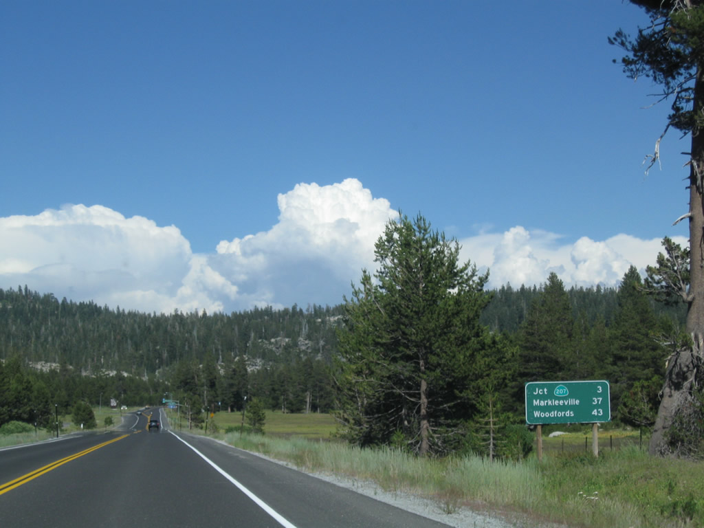
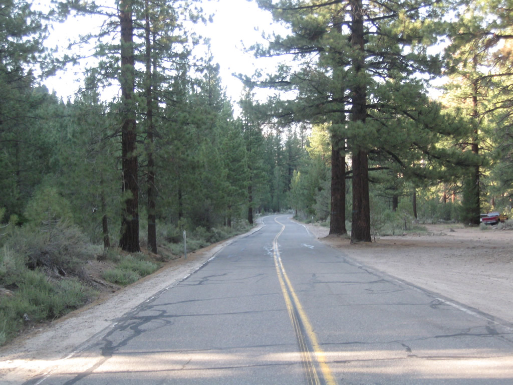
| SR 4 turns northerly from Bear Valley alongside Osborne Hill to meet SR 207 in three miles. Woodfords, where SR 89 intersects SR 88, appears on distance signage for the first time here. 07/18/09 |
|
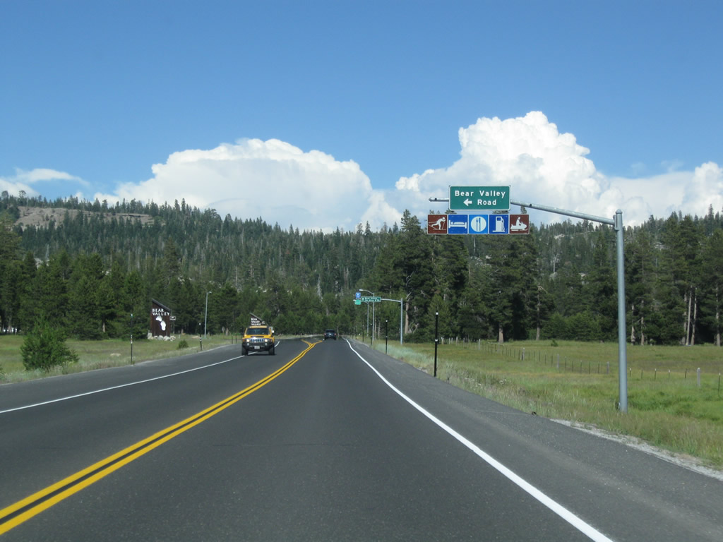
| The next intersection along SR 4 (Ebbetts Pass Highway) east is with Bear Valley Road north to the Bear Valley Village and Bear Lake. All motorist services and a variety of recreational opportunities are available in Bear Valley Village; the downhill ski resort lies ahead via SR 207 north. 07/18/09 |
|
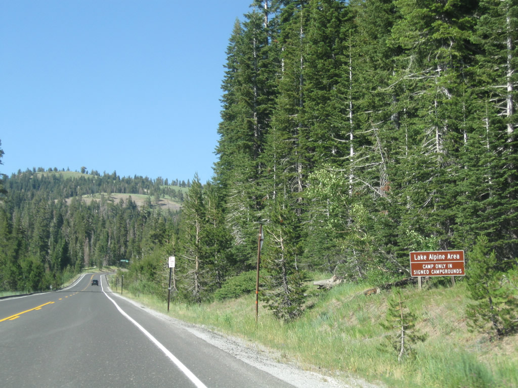
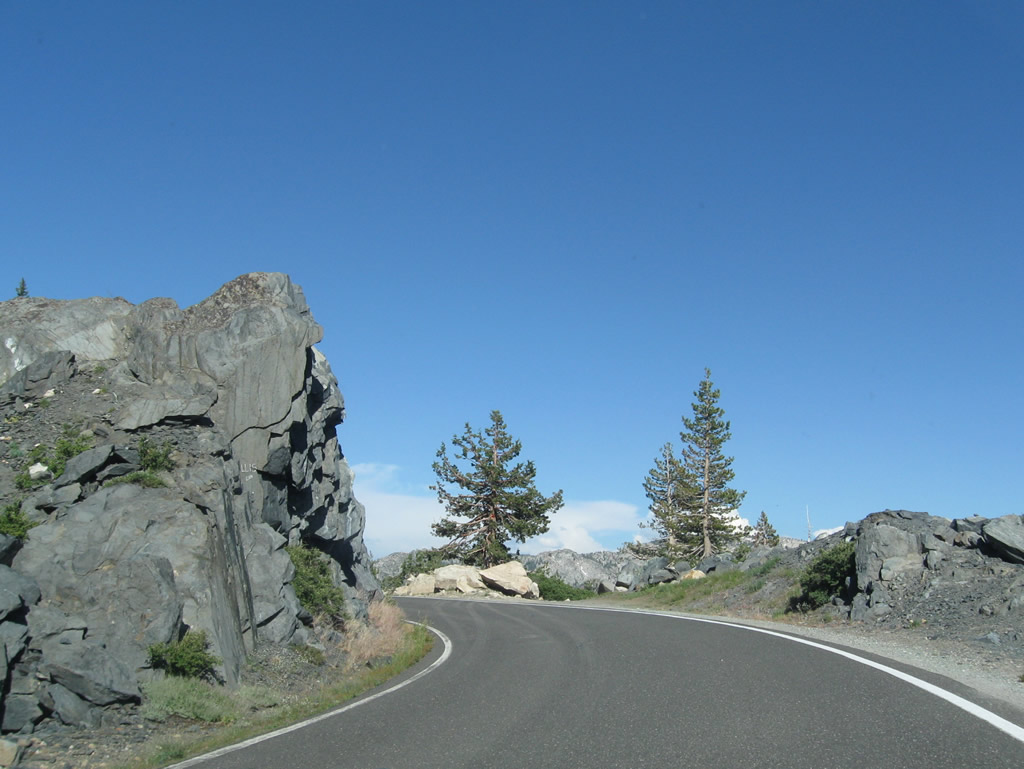
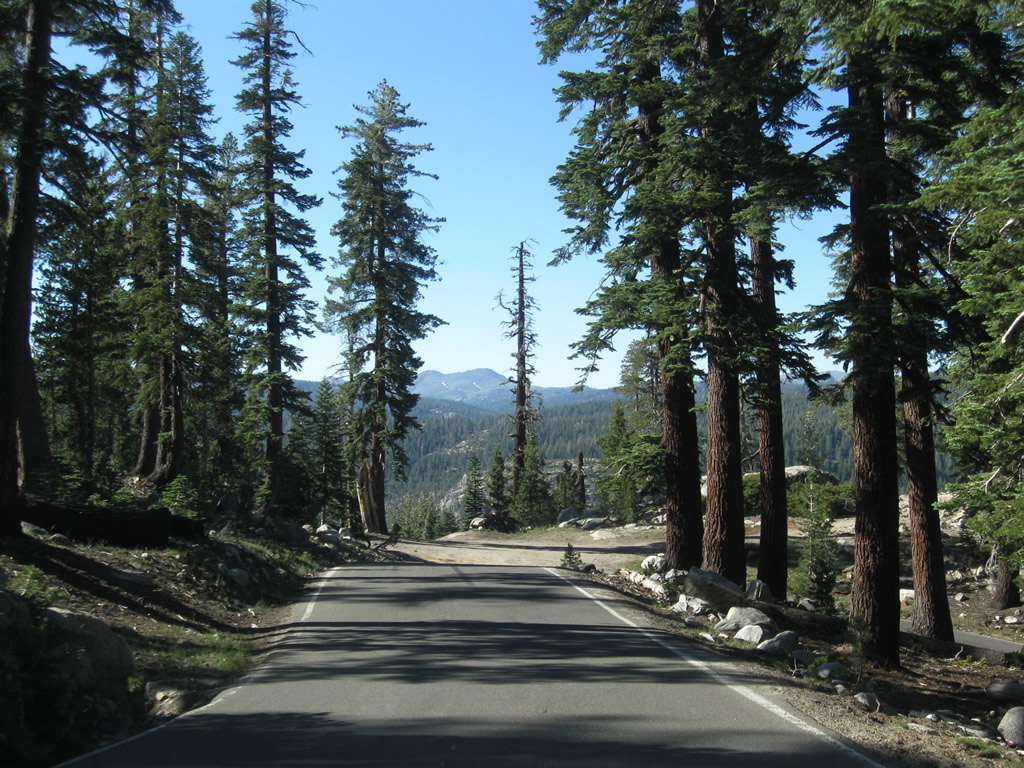
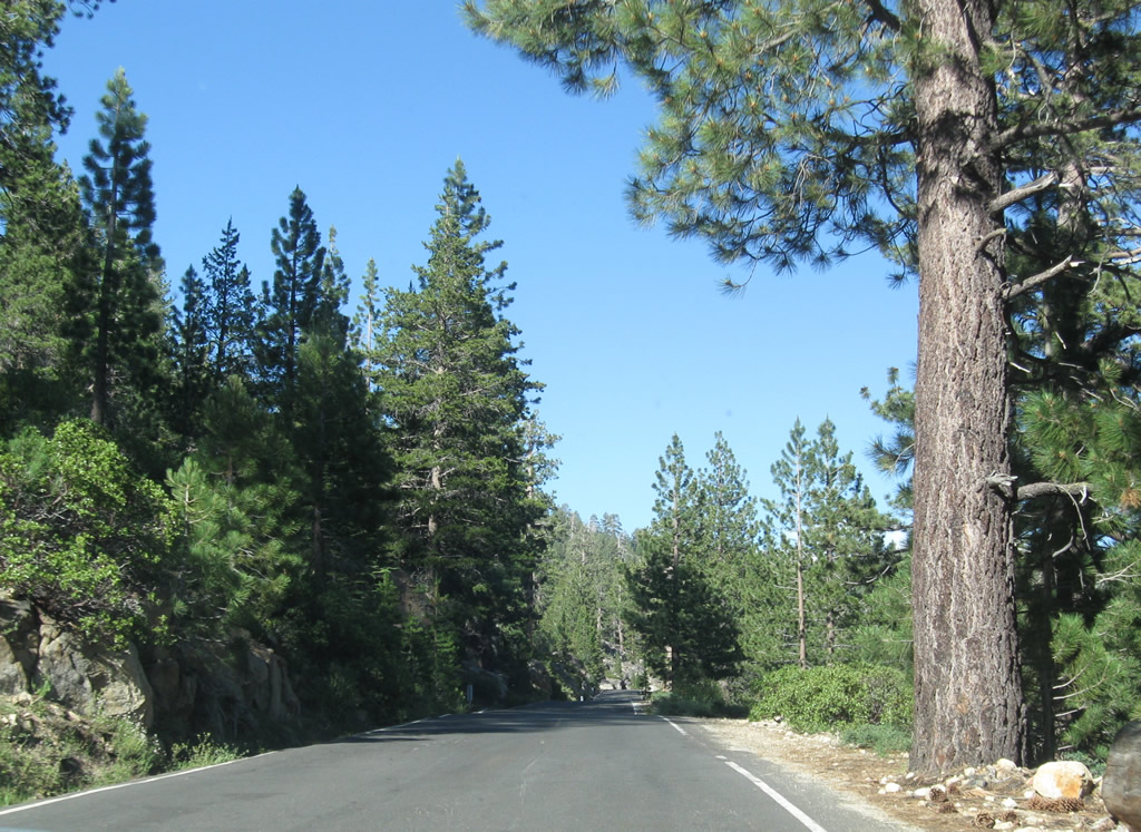
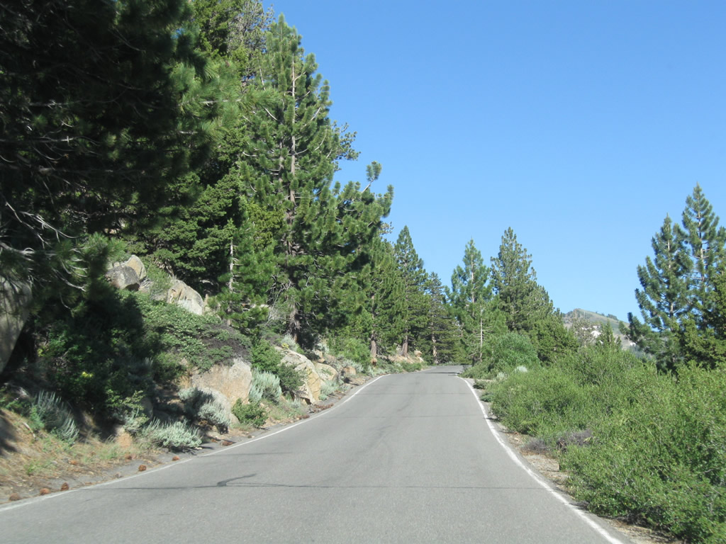
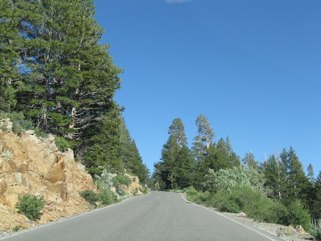
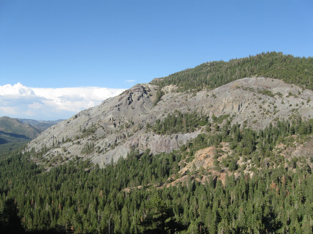
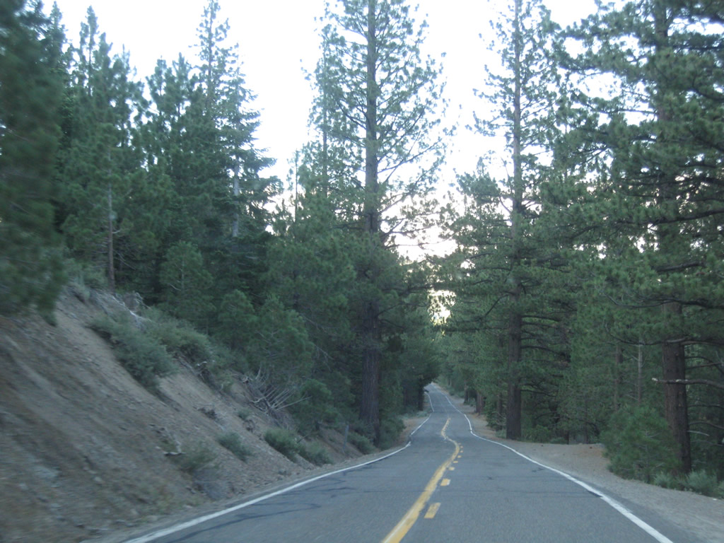
| Traveling north alongside Osborne Hill, SR 4 (Ebbetts Pass Highway) advances toward Lake Alpine. Campgrounds, which are popular in the summer as a mountain getaway, are located on the south side of the state route ahead. 07/18/09 |
|
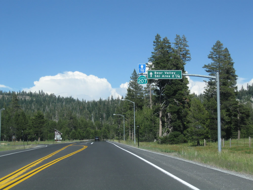
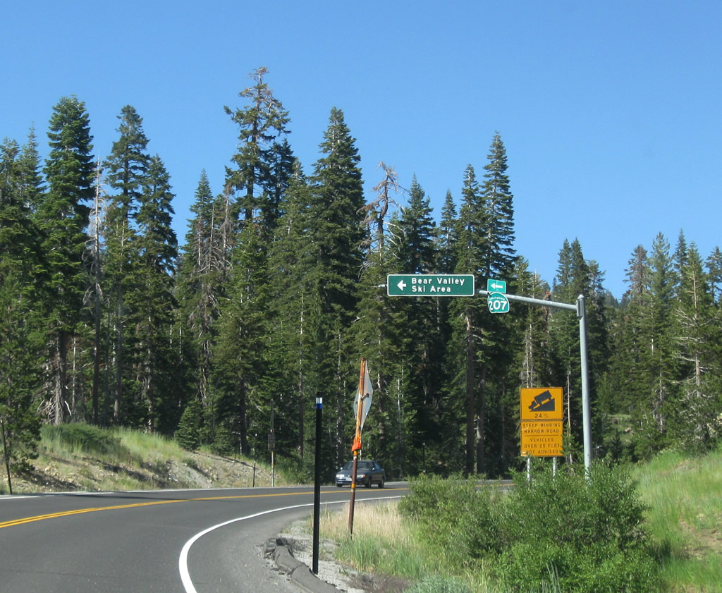
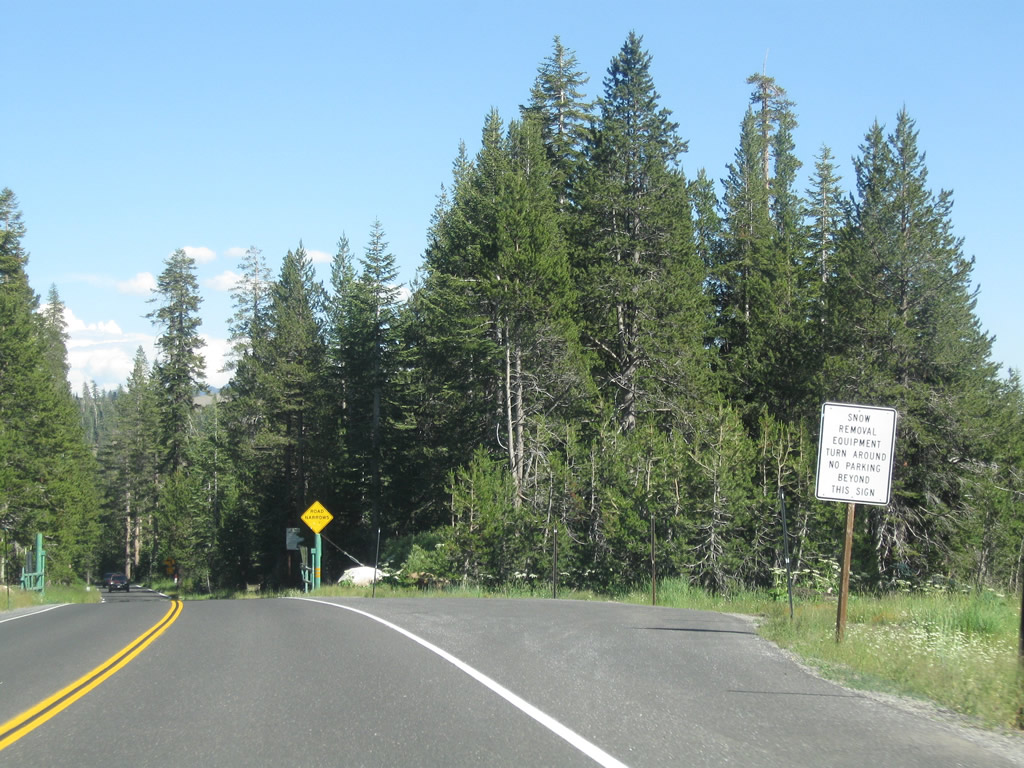
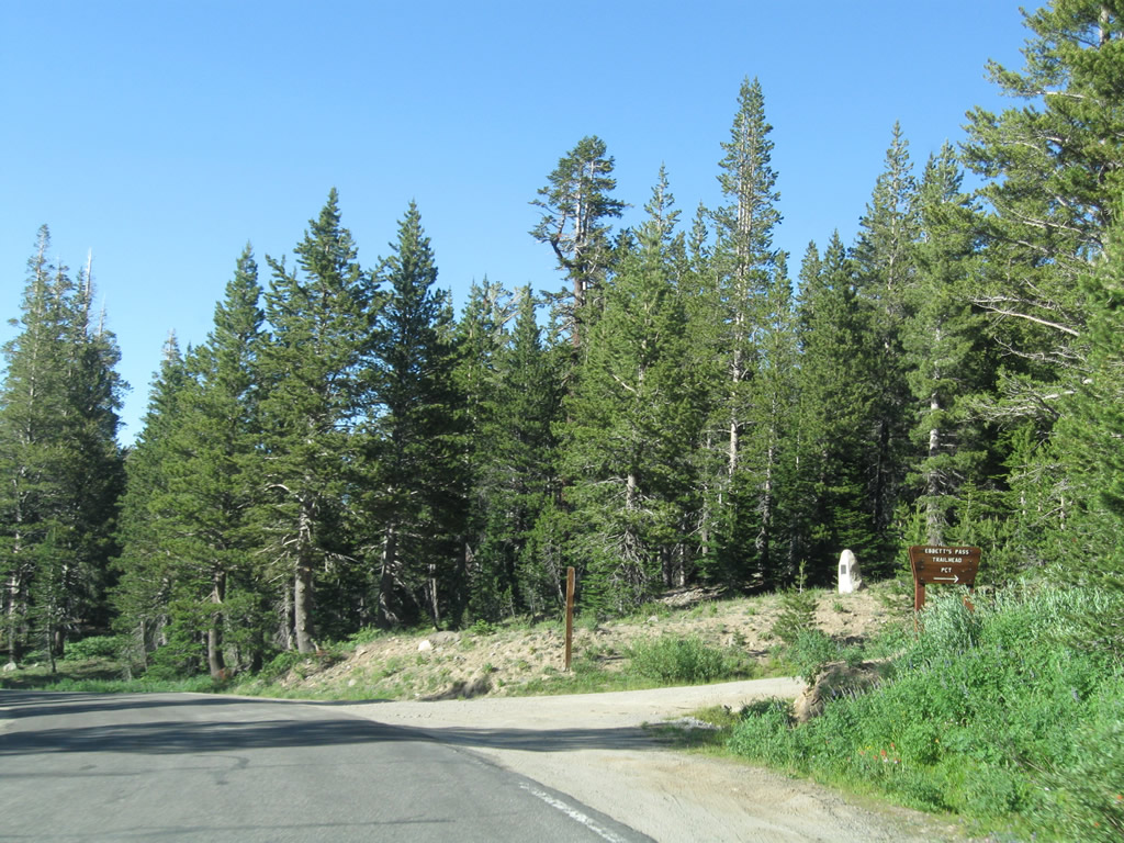
| Entering Poison Canyon, SR 4 (Ebbetts Pass Highway) intersects SR 207 (Mount Reba Road) north to Bear Valley Ski Area. Operated under permit from Stanislaus National Forest, the ski area is very popular in the winter, especially with locals and visitors from the San Francisco Bay Area. 07/18/09 |
|
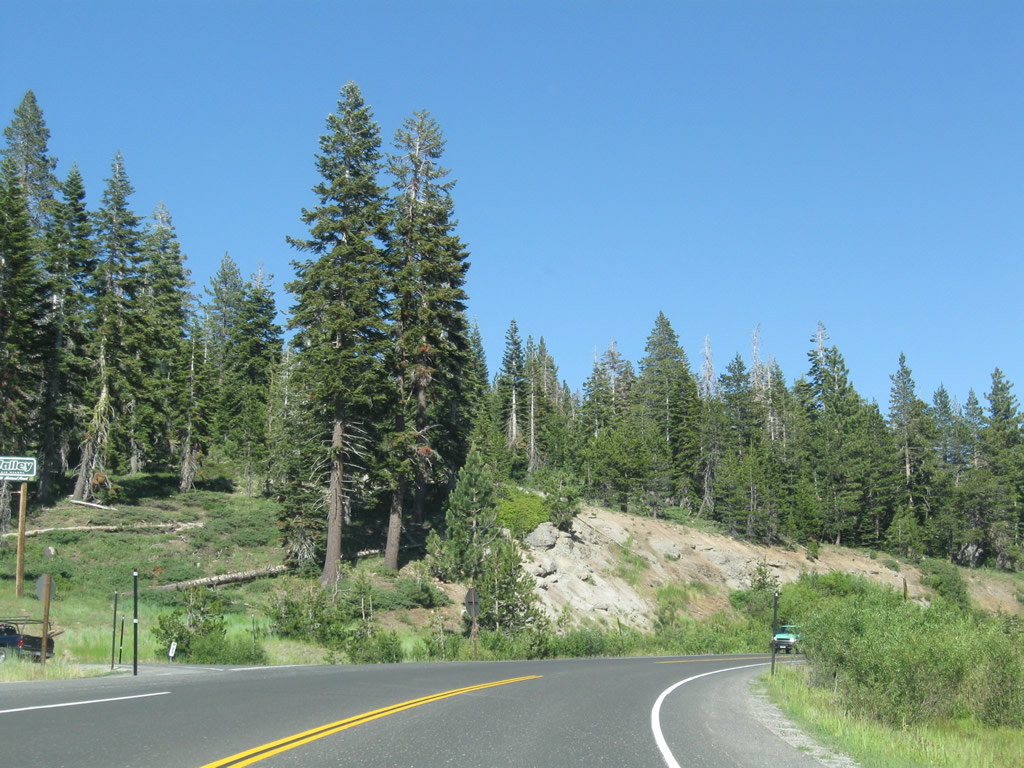
| SR 207 (Mount Reba Road) stems north from this intersection. The state route measures just 1.36 miles from SR 4 to the parking lot for Bear Valley Mountain Resort Ski Area. 07/18/09 |
|
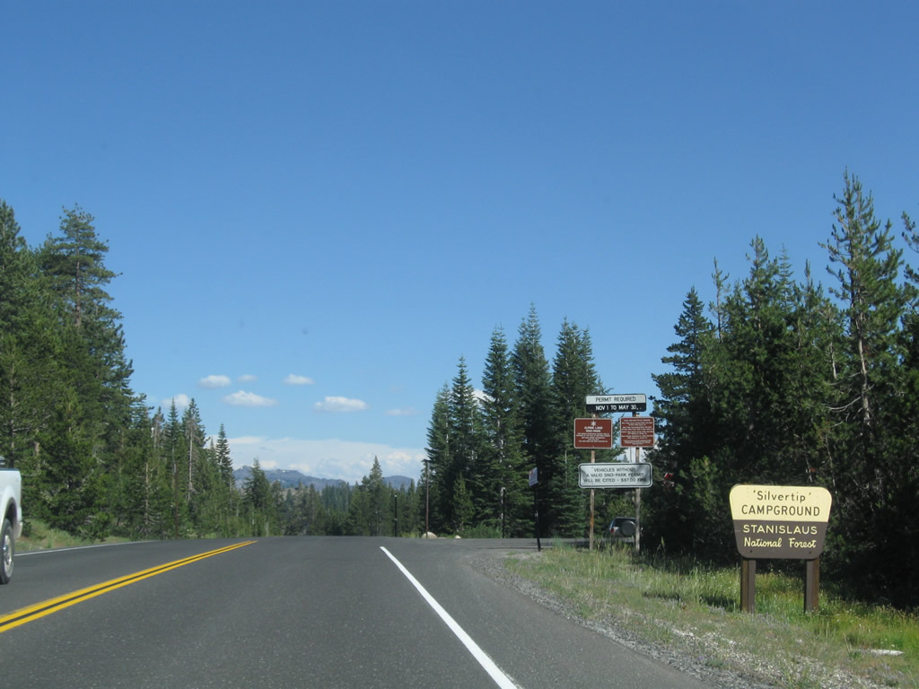
| Just east of SR 207 along SR 4 is Silvertip Campground, located just west of Lake Alpine. 07/18/09 |
|
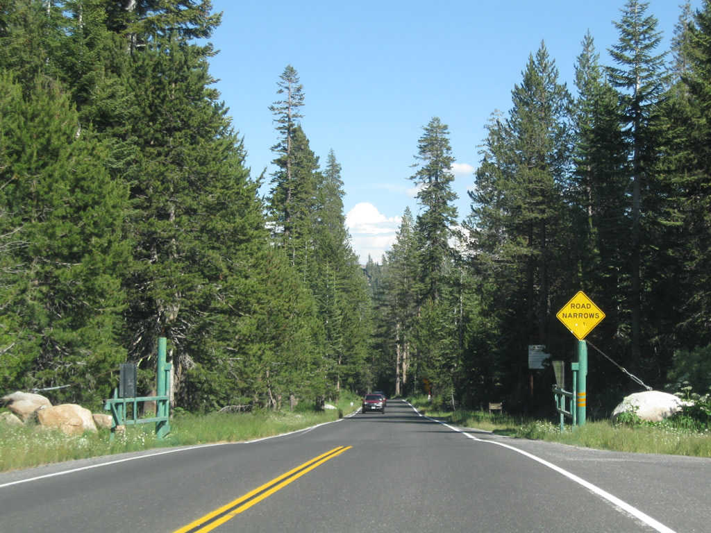
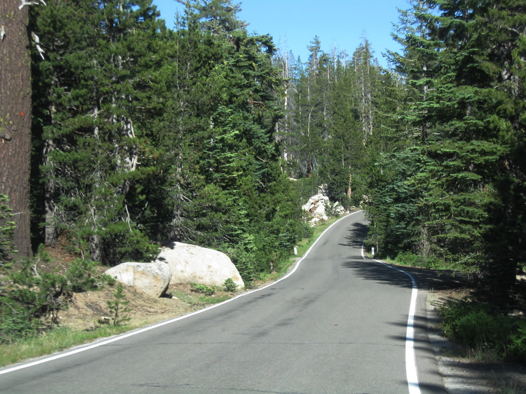
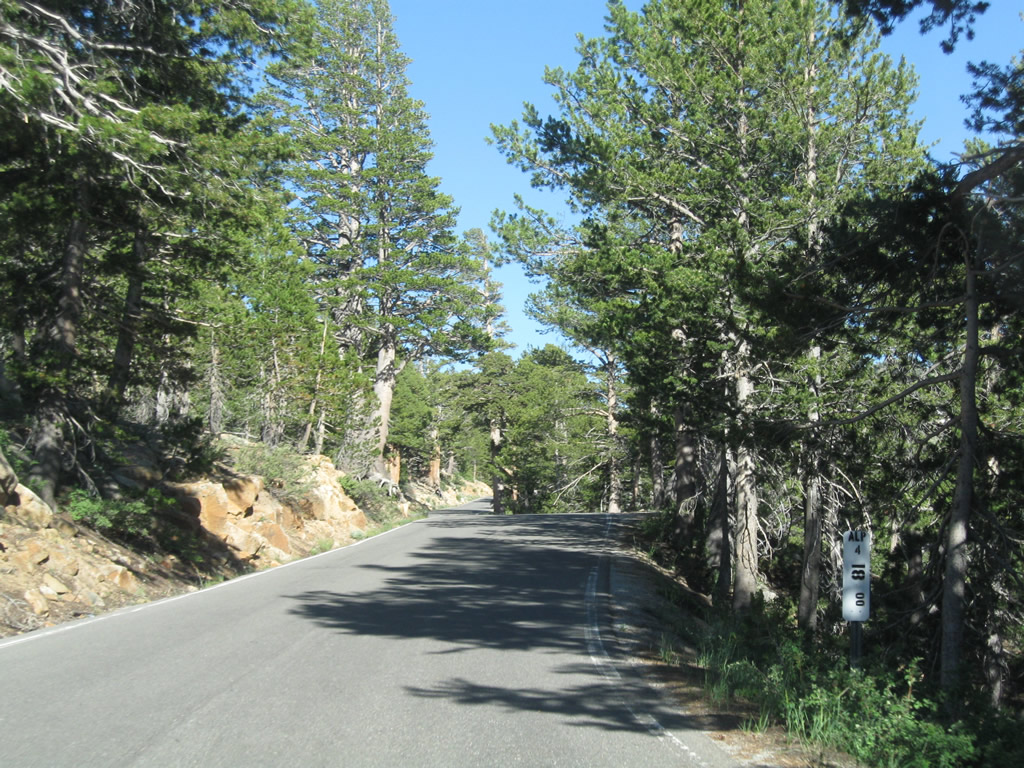
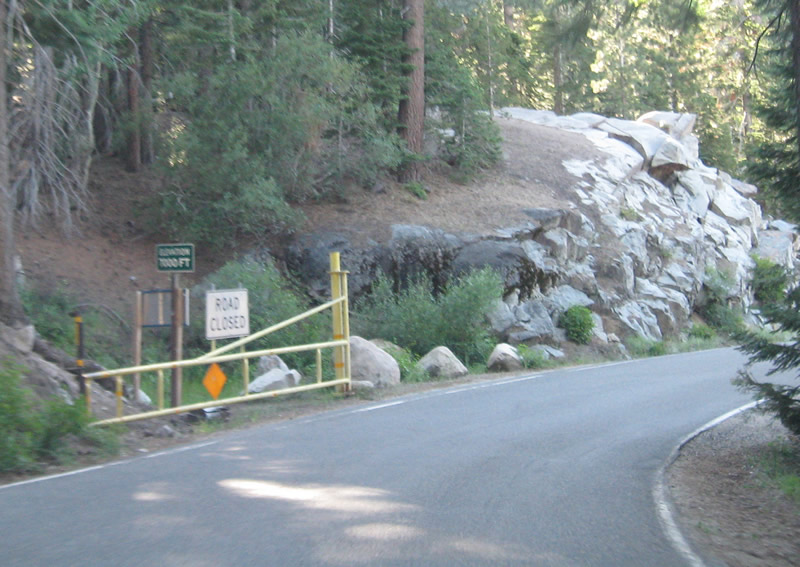
| During winter, the state route is not plowed for snow beyond this point. A wide spot here allows for snow plow trucks to turn around and return to Bear Valley. SR 4 narrows significantly ahead and continues east to Lake Alpine. 07/18/09 |
|
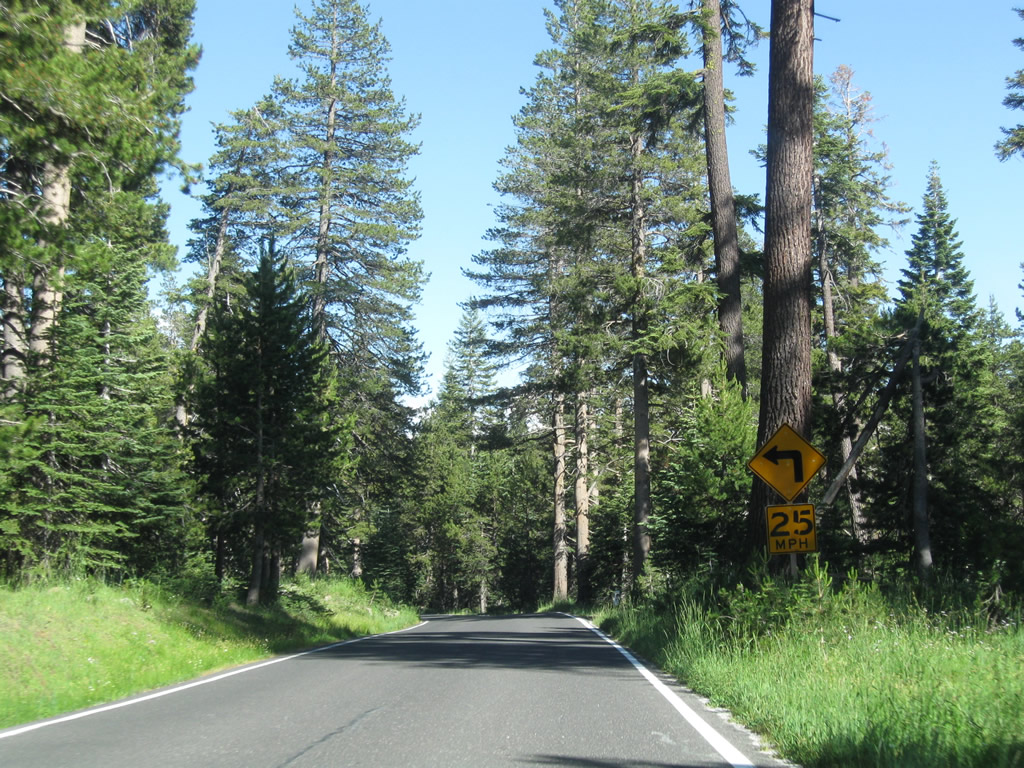
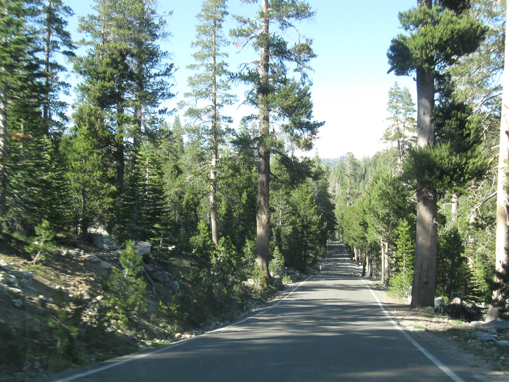
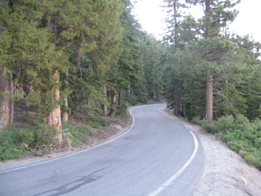
| SR 4 narrows to a one-and-a-half-lane configuration, with no centerline stripe beyond the winter closure gate. The highway retains this configuration past Lake Alpine, Hermit Valley, and Ebbetts Pass to the East Fork of the Carson River at Centerville Pass. 07/18/09 |
|
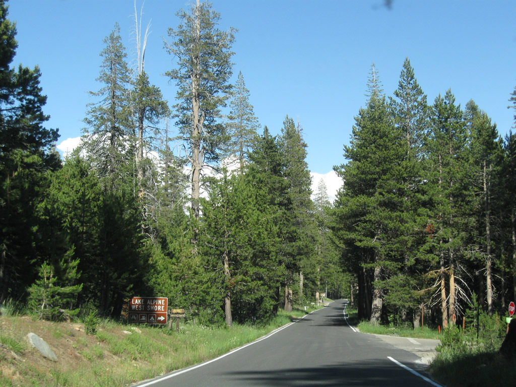
| Eastbound SR 4 at the turnoff for the west shore of Lake Alpine. Activities here include a picnic area, swimming, and camping. 07/18/09 |
|
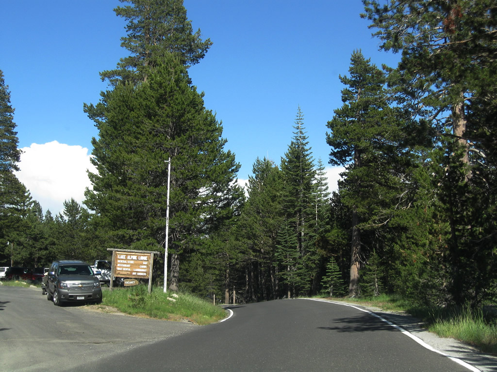
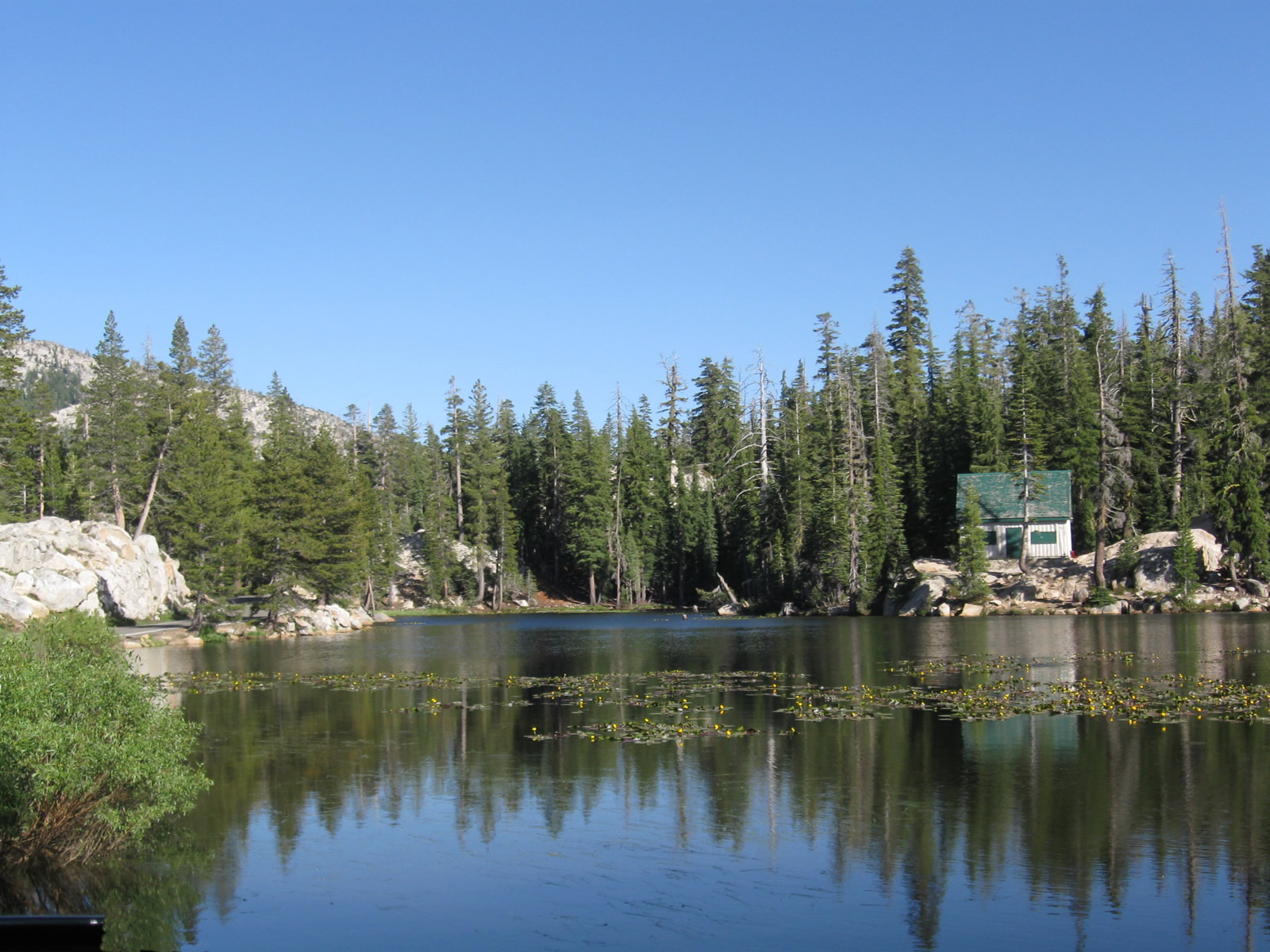
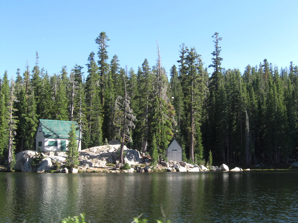
| The next left turn from SR 4 east leads to the Lake Alpine Lodge, which includes a general store, restaurant, bar, cabins, boat rental and laundry facility. 07/18/09 |
|
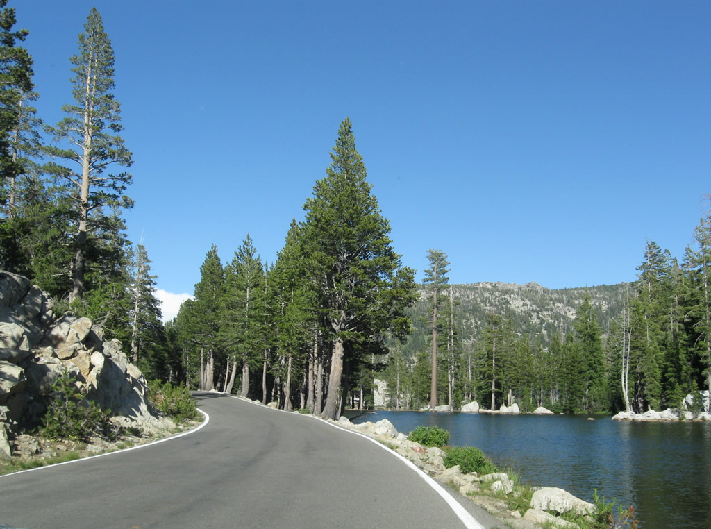
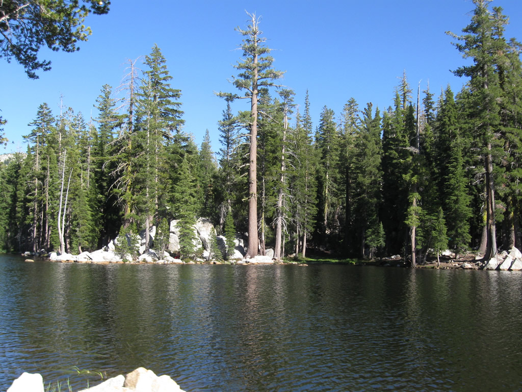
| SR 4 continues along the north shore of Lake Alpine (el. 7,303 feet), a reservoir managed by the Northern California Power Agency. 07/18/09 |
|
| This view looks east along SR 4 near the east end of Lake Alpine. While the lake is hidden by trees from the state route, campground parking allows access to the boat ramp and beaches. 07/18/09 |
|
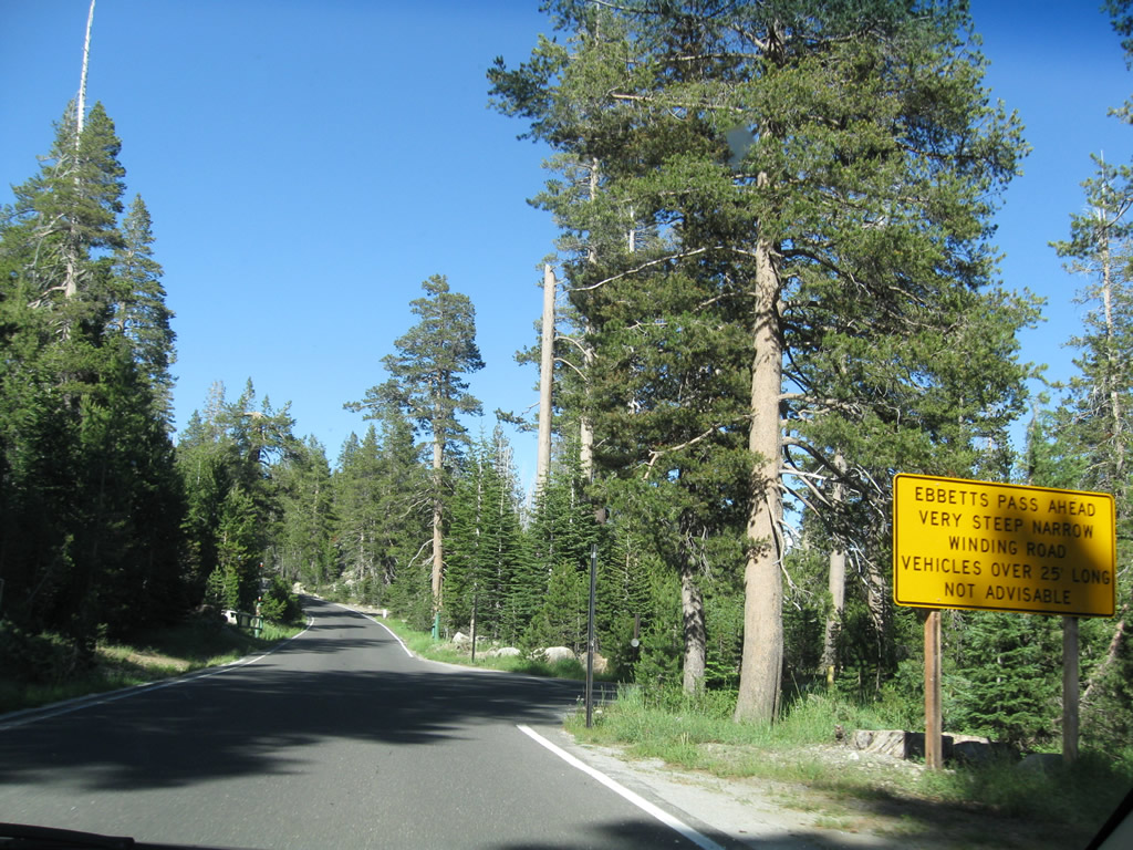
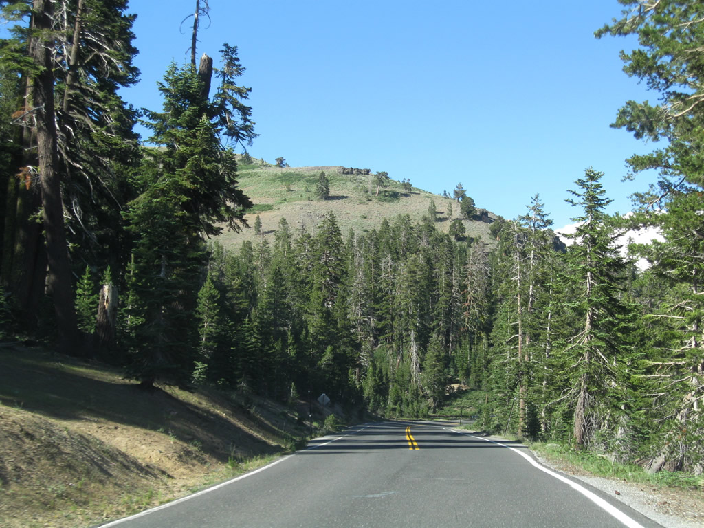
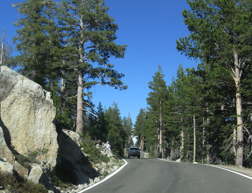
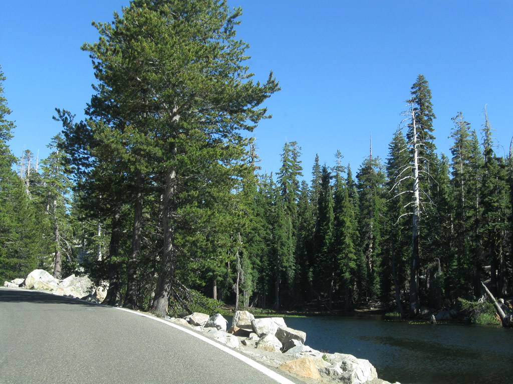
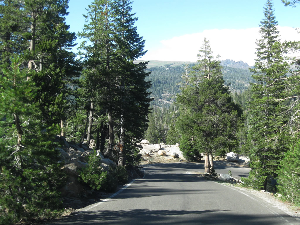
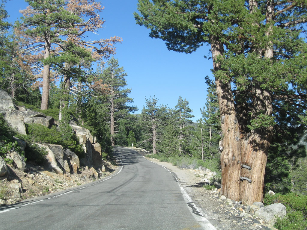
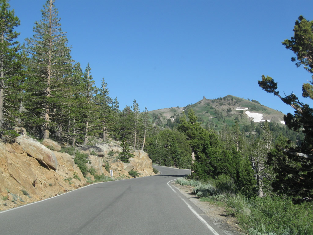
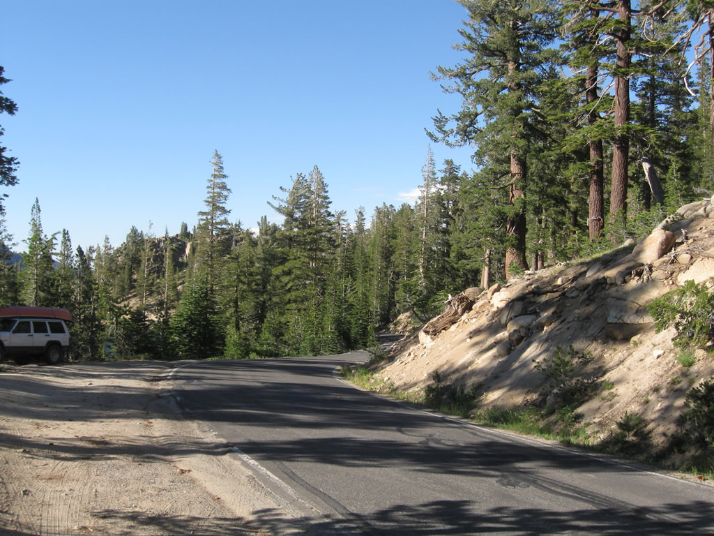
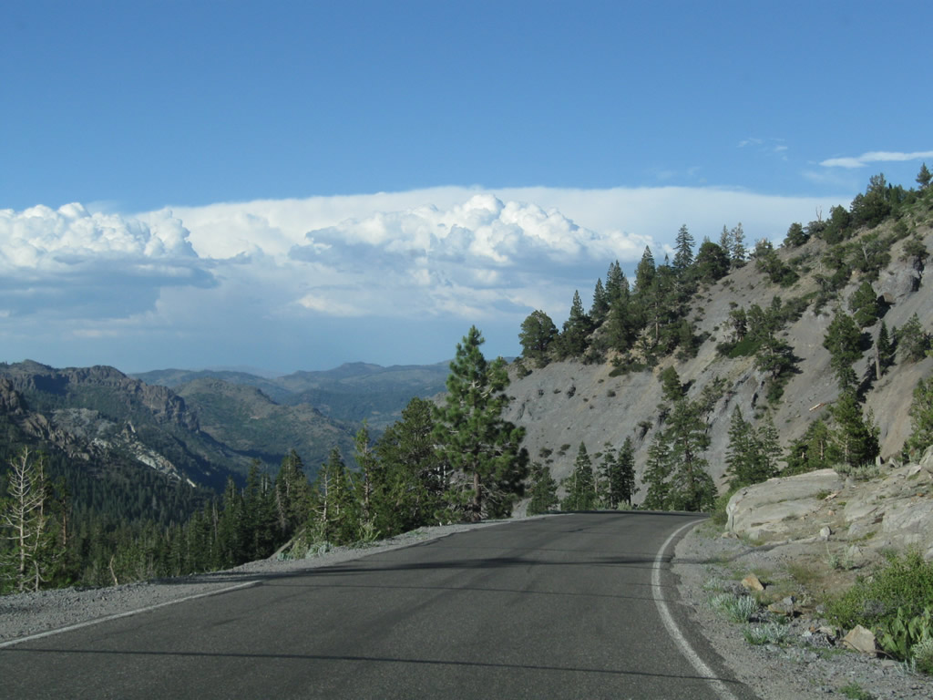
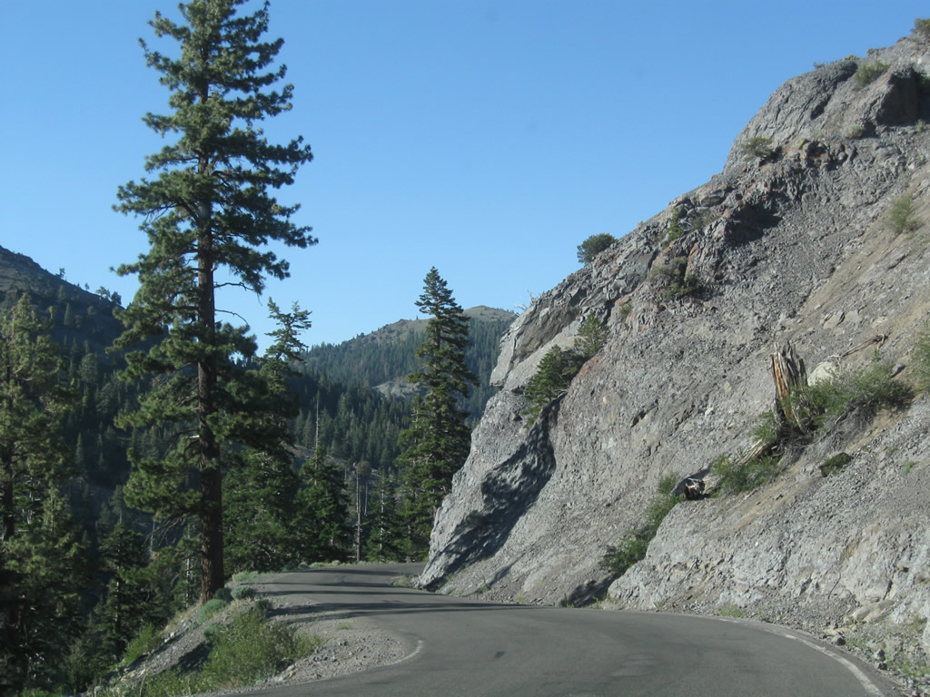
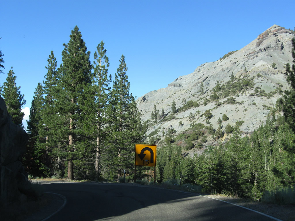
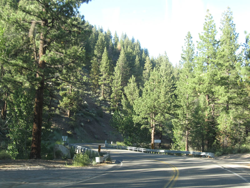
| Due to the steep grades at both Pacific Grade Summit and Ebbetts Pass, coupled with the winding, curving nature of the roadway, trucks and cars with trailers are not advised on SR 4 east of the entrance to Silver Valley Campground. 07/18/09 |
|
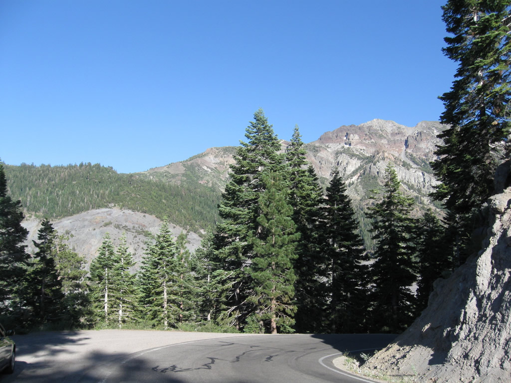
| Ascending the Pacific Grade, summer traffic along SR 4 east drops off. Limited services are available from here east to Markleeville, the seat of Alpine County. 07/18/09 |
|
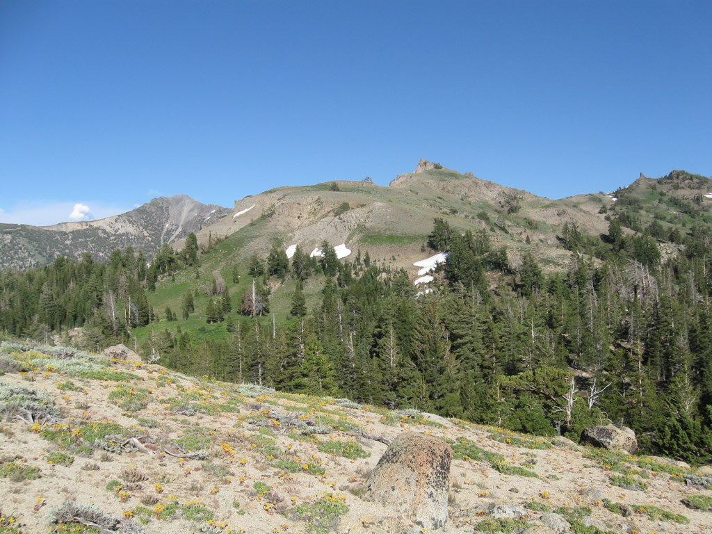
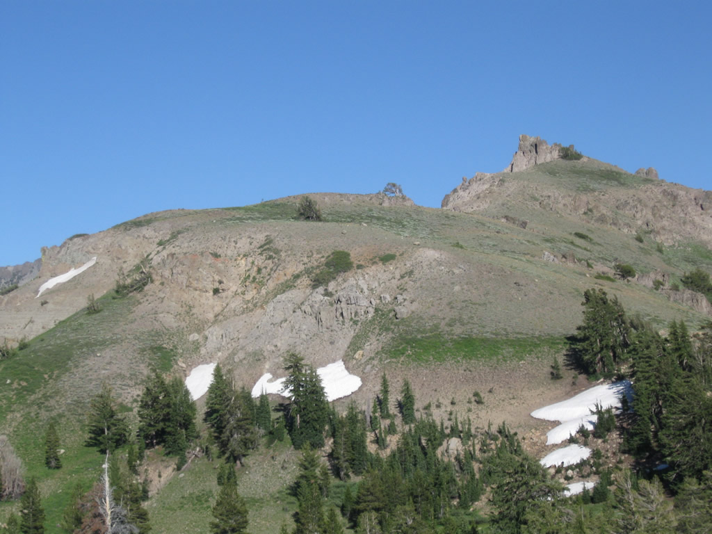
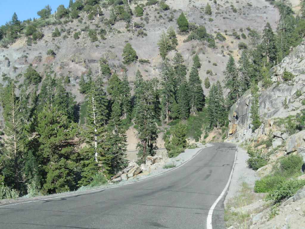
| The narrow road continues to gain elevation and sees continuing changes to the ecology of the area. SR 4 is designated the Ebbetts Pass National Scenic Byway. This area is known as Woodchuck Basin, which is located at post mile ALP 5.40. 07/18/09 |
|
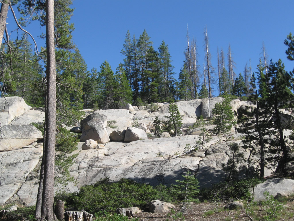
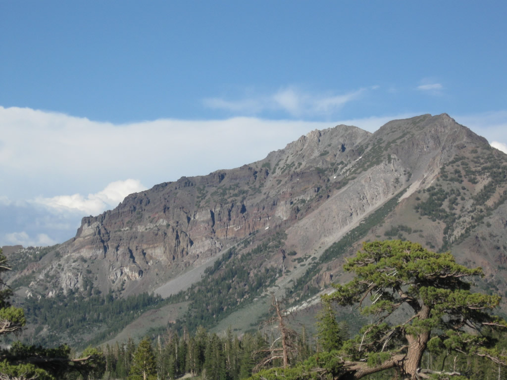
| SR 4 approaches Cape Horn Vista (at post mile ALP 6.70), made distinctive by adjacent rock outcroppings. The view at the turnout here offers a look east, south, and west toward Elephant Rock and the Carson-Iceberg Wilderness Area of Stanislaus National Forest. 07/18/09 |
|
| Continuing from the Cape Horn Vista turnoff on SR 4 east. Located at an elevation of 7,960 feet, the vista point provides views of Dardenelle Range (including Elephant Rock) and the surrounding wilderness area. 07/18/09 |
|
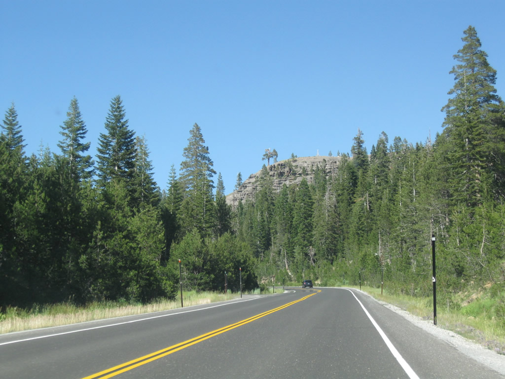
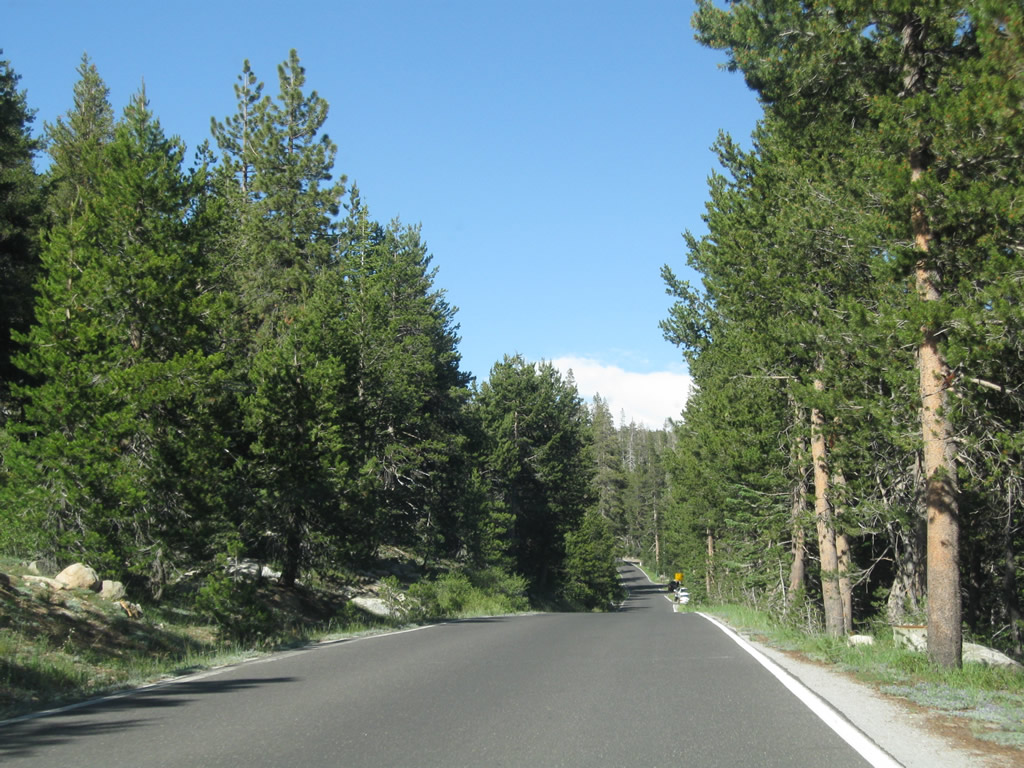
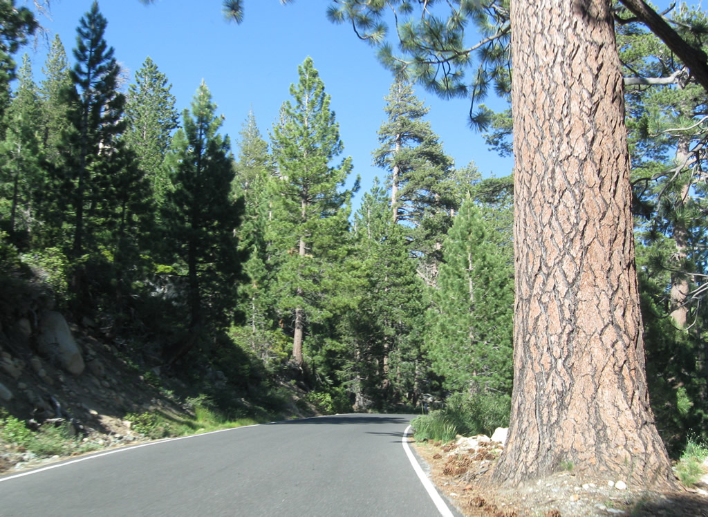
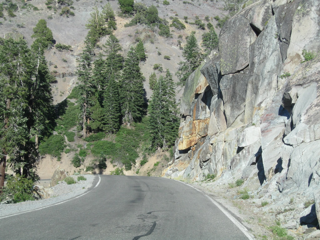
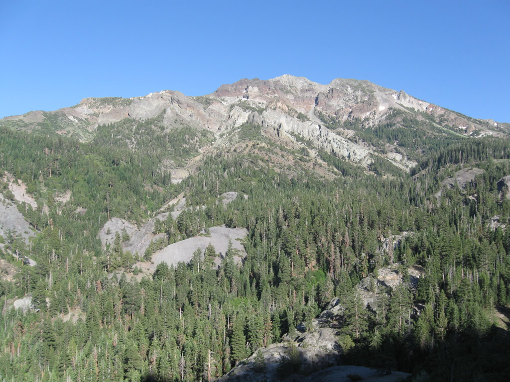
| Passing north of Carson-Iceburg Wilderness area on SR 4 east. Relatively little traffic utilizes this remote section of state route. 07/18/09 |
|
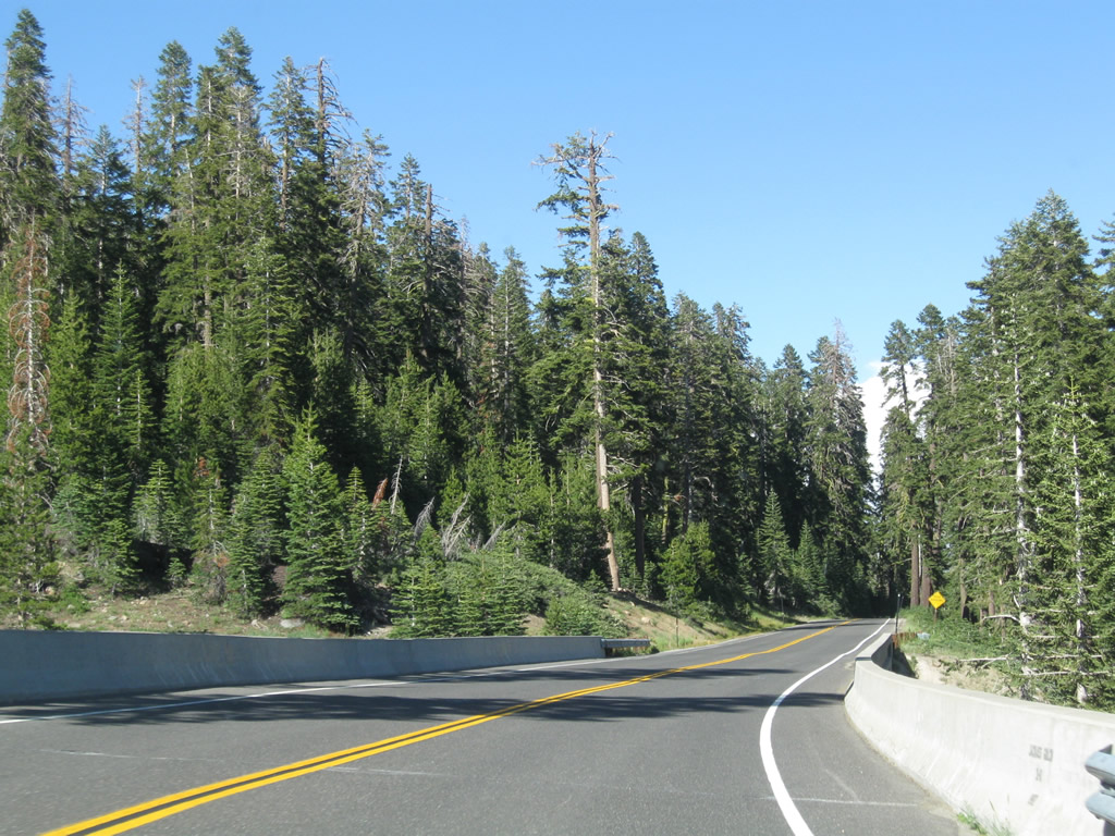
| This 1982 bridge carries SR 4 (Ebbetts Pass National Scenic Byway) over Jackass Gulch. The highway briefly widens to two full lanes before narrowing back down to 1.5 lanes. 07/18/09 |
|
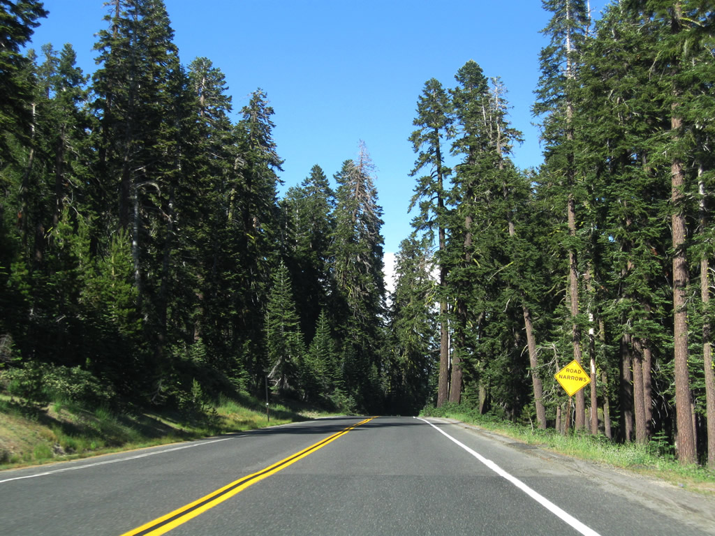
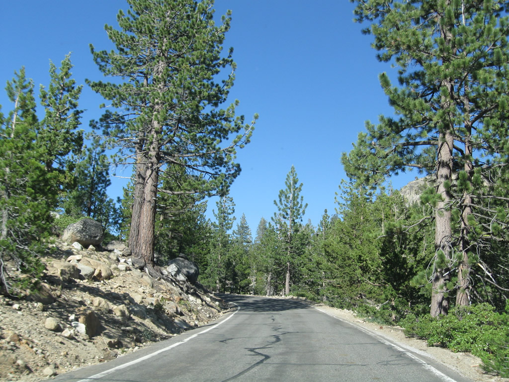
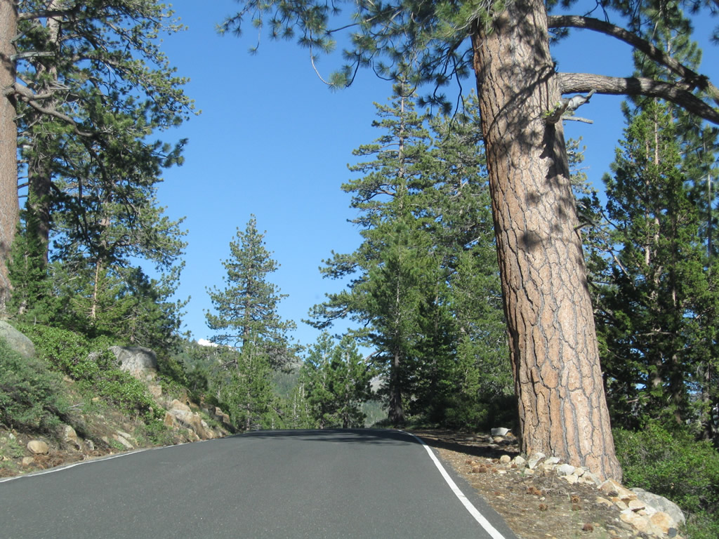
| Progressing east near Stanislaus Meadow, SR 4 passes through more conifer forests. 07/18/09 |
|
| Oncoming traffic can be a bit disconcerting as seen here on eastbound SR 4 near Stanislaus Meadow (which is located at postmile ALP 8.50). 07/18/09 |
|
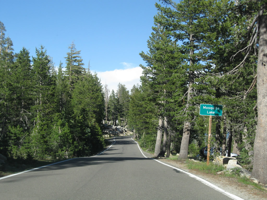
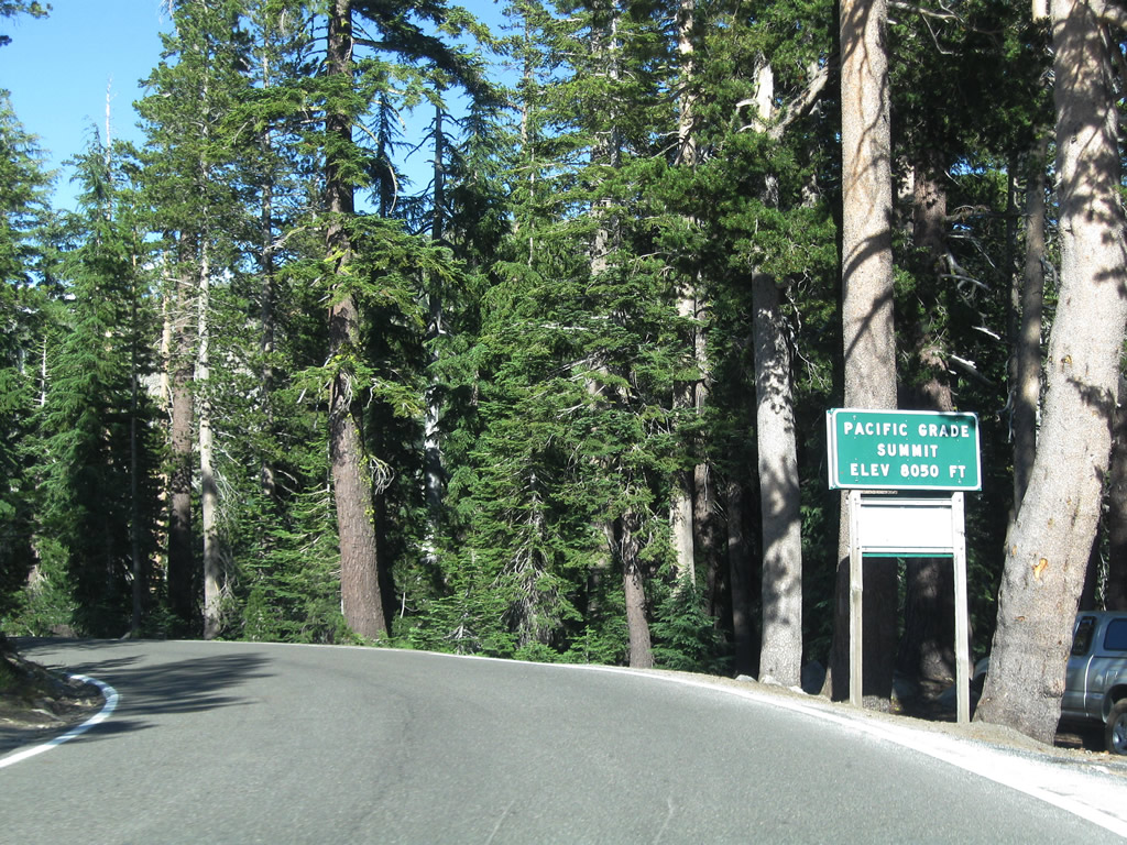
| SR 4 passes by Mosquito Lake at Postmile ALP 10.50 at elevation 8,050 feet to the immediate west of Pacific Grade Summit. A popular fishing site, this lake's water is even colder than Lake Alpine. 07/18/09 |
|
| Eastbound SR 4 crests over Pacific Grade Summit at an elevation 8,050 feet. From here, the highway will descend into Hermit Valley and then ascend again to Ebbetts Pass. 07/18/09 |
|
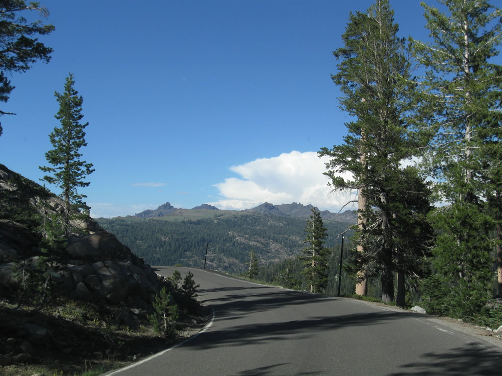
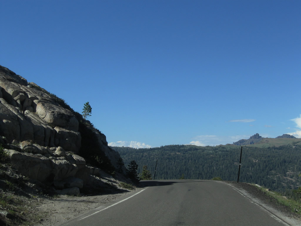
| Leaving Pacific Grade Summit, SR 4 lowers along a precipitous cliff with no guardrails. Ahead is a series of downhill, slow-moving switchbacks. 07/18/09 |
|
| SR 4 proceeds through a series of switchbacks from the Pacific Grade Summit (el. 8,050 feet) down to Pacific Valley (el. 7,600 feet). 07/18/09 |
|
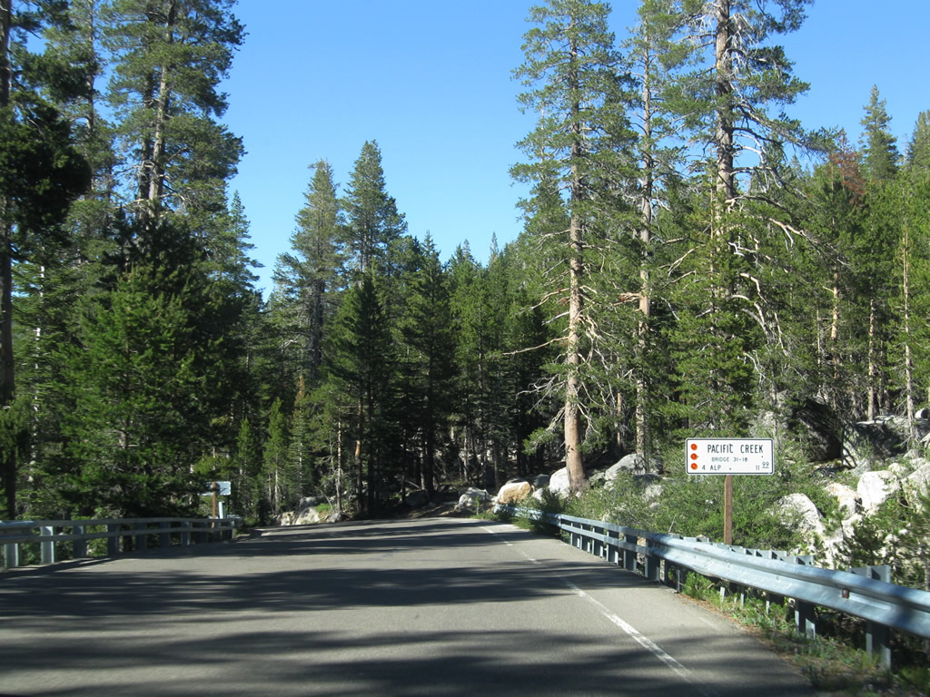
| A 1937 bridge carries SR 4 over Pacific Creek in Pacific Valley. The span at postmile ALP 11.99 was widened and modernized in 1986. 07/18/09 |
|
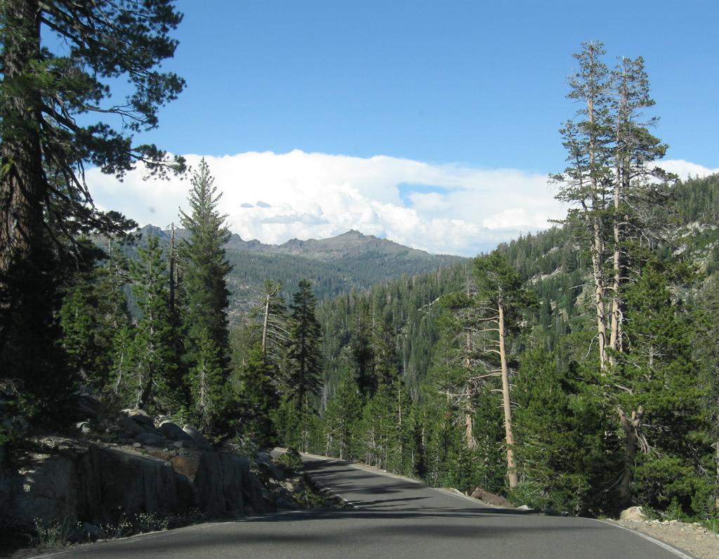
| Towering walls of granite line SR 4 north of the crossing over Pacific Creek. 07/18/09 |
|
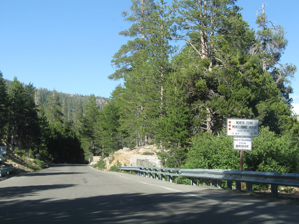
| Approaching Hermit Valley, SR 4 spans the North Fork of the Mokelumne River at postmile ALP 12.94. Dating also to 1937, the bridge was widened and modernized in 1986. 07/18/09 |
|
| Postmiles begin to appear in earnest again as SR 4 east advances through Hermit Valley. 07/18/09 |
|
| Passing through Hermit Valley at an elevation of 7,080 feet, SR 4 begins another climb toward Ebbetts Peak and Ebbetts Pass. 07/18/09 |
|
| SR 4 parallels the North Fork of Mokelumne River on the ascent toward Ebbetts Pass. Large boulders and towering trees line both sides of the narrow roadway. The route makes a switchback at The Elbow (el. 7,955 feet), where a turnout is located. 07/18/09 |
|
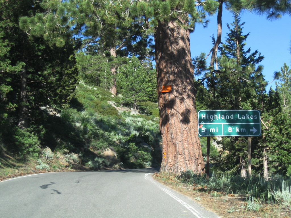
| A turnoff links SR 4 with Highland Lakes Road south to Highland Lakes (near Tryon Peak, elevation 9,970 feet). A campground is located at Highland Lakes. 07/18/09 |
|
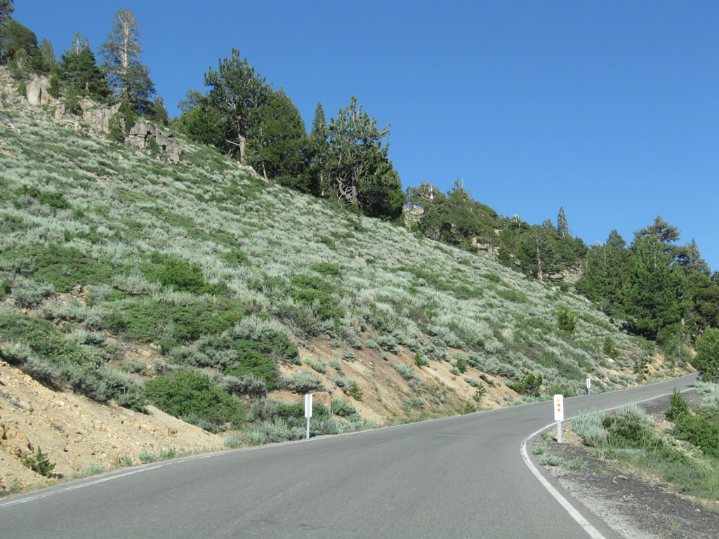
| Increasing elevation yields different biomes. SR 4 sees juniper trees and sagebrush, which portends the drier climate found in Nevada. The wetter climate found in the foothills that yields redwood trees is not found here. 07/18/09 |
|
| Looking south from SR 4 is this view of Tryon Peak, which tops out at an elevation 9,970 feet. 07/18/09 |
|
| Continuing uphill between Ebbetts Peak and Bloomfield Meadow along SR 4 east. 07/18/09 |
|
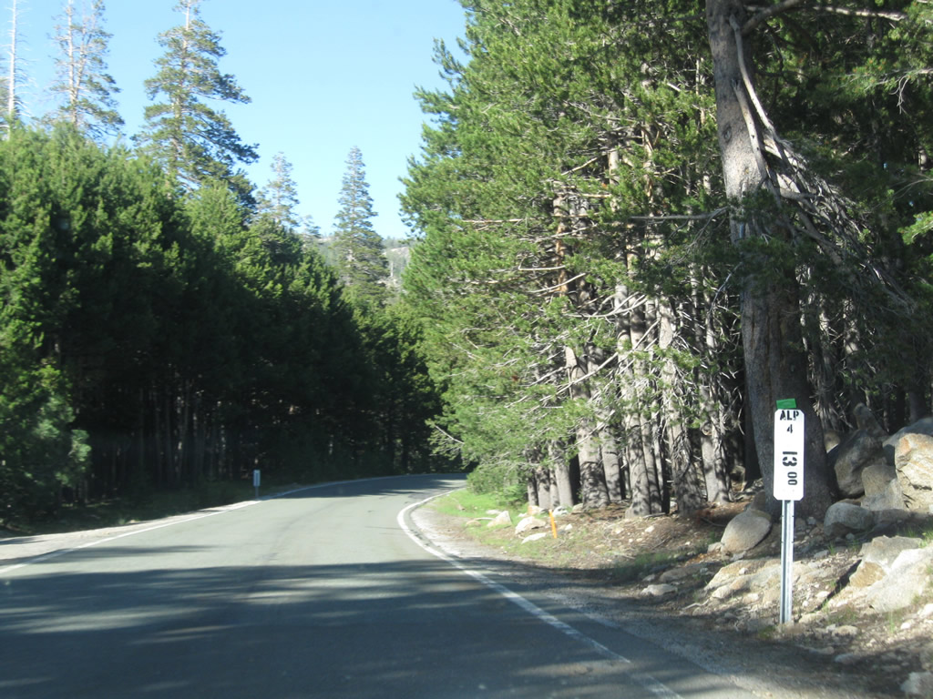
| Eastbound SR 4 passes postmile ALP 18.00. 07/18/09 |
|
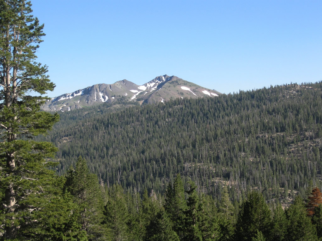
| Highland Peak (el. 10,935 feet) comes into view from eastbound SR 4 just before it reaches Ebbetts Pass. 07/18/09 |
|
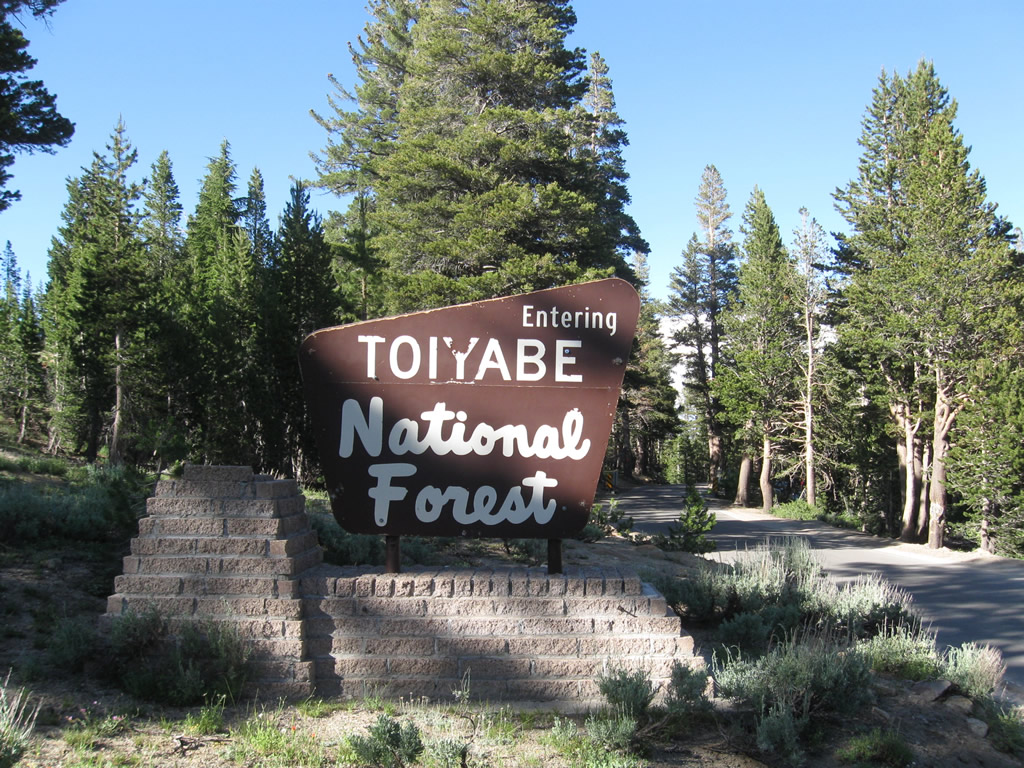
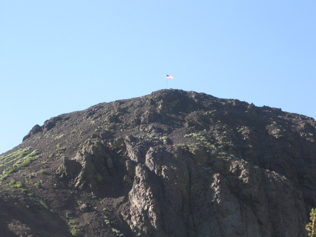
| SR 4 leaves Stanislaus National Forest and enters Humboldt-Toiyabe National Forest at Ebbetts Pass. Largely found in eastern California and Nevada, Humboldt-Toiyabe is the largest national forest in the Lower 48 States. 07/18/09 |
|
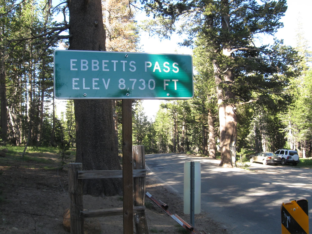
| SR 4 crosses over the Sierra Nevada Mountains at Ebbetts Pass (el. 8,730 feet). During the winter and in times of high snowfall, this pass is closed. 07/18/09 |
|
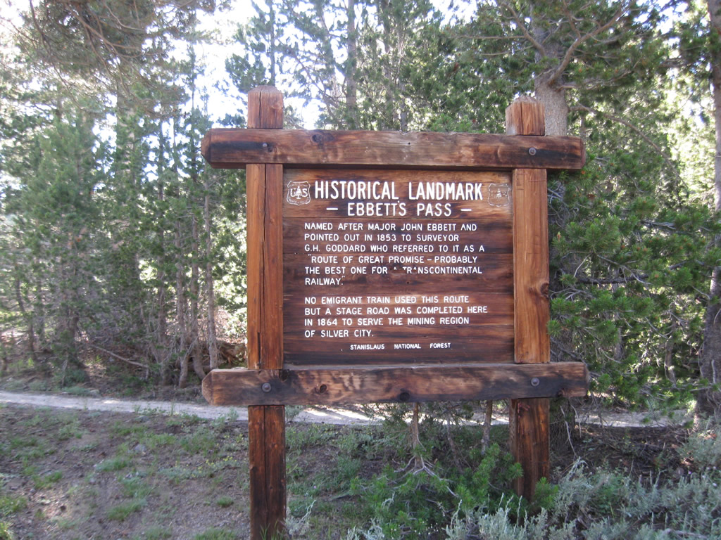
| This sign provides a brief history of Ebbetts Pass, including its role in providing a route from Silver City, Nevada, west to San Francisco when it opened in 1864. 07/18/09 |
|
| Looking northward from Ebbetts Pass toward the volcanic mountain of Ebbetts Peak (el. 9,180 feet). 07/18/09 |
|
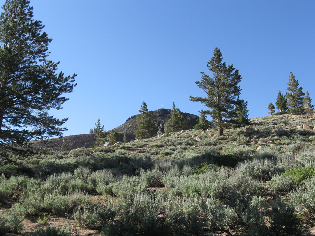
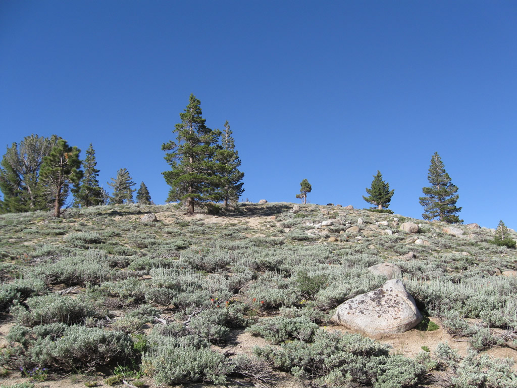
| Viewing the mountainous area around Ebbetts Pass as from a nearby trail. 07/18/09 |
|
| SR 4 intersects the Pacific Crest Trail just north of Ebbetts Pass. SR 4 descends on the leeward side of the Sierra Nevada and will not again achieve the same elevation as seen at Ebbetts Pass. 07/18/09 |
|
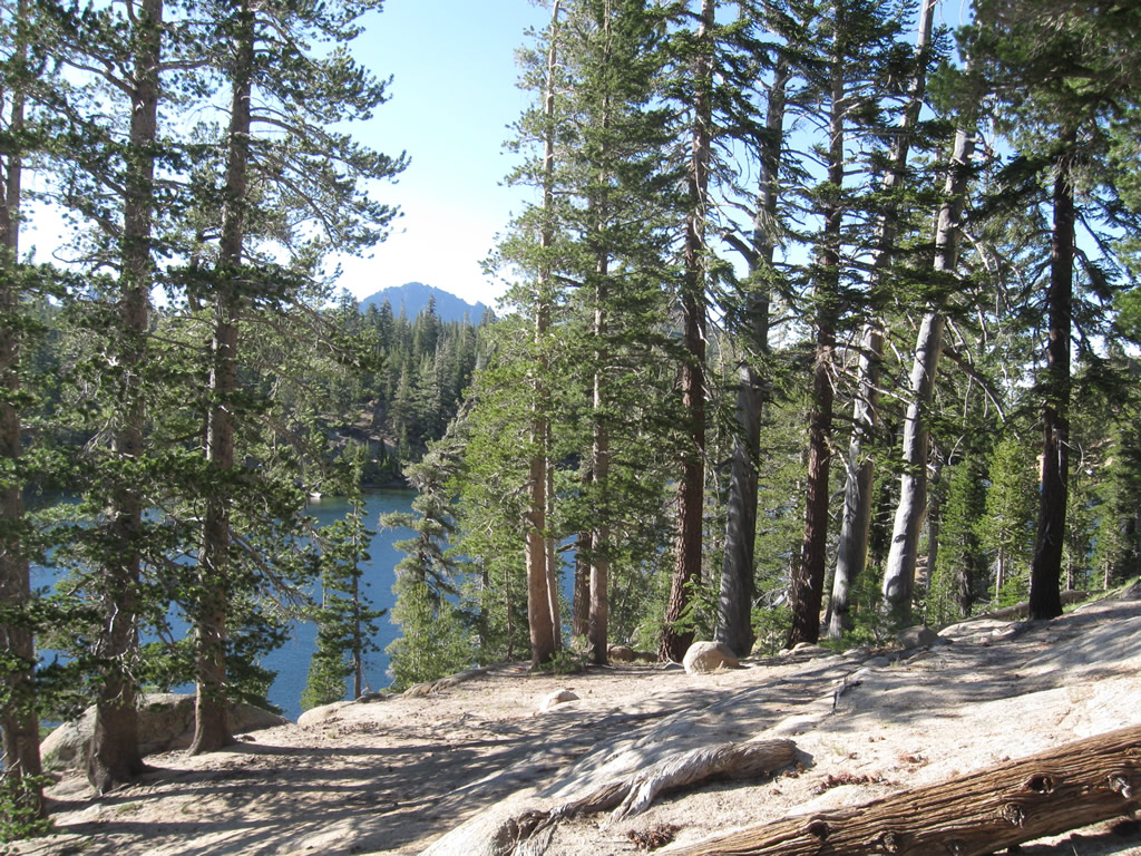
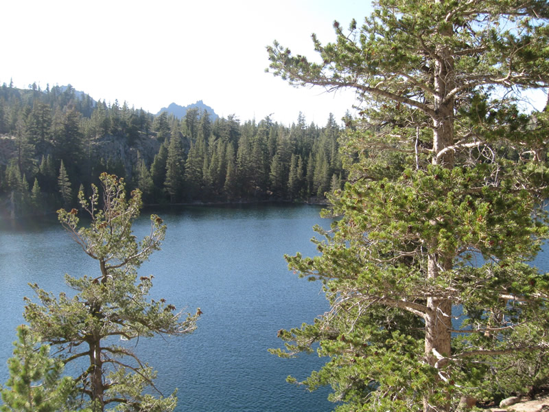
| Kinney Reservoir (el. 8,353 feet) lies just west of SR 4 within the ensuing mile north from Ebbetts Pass. A popular fishing spot for the lake is located at postmile ALP 19.5. 07/18/09 |
|
| SR 4 runs alongside Kinney Creek north from the reservoir. The waterway is out of view below the state route at postmile ALP 20.0. 07/18/09 |
|
| SR 4 crosses over Upper Cascade Creek at postmile 21.79 on a 1939 bridge that has not been widened since then. The Caltrans District 10 Bridge Log show this span at postmile 21.73. 07/18/09 |
|
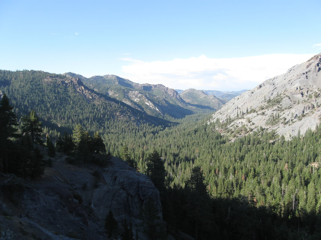
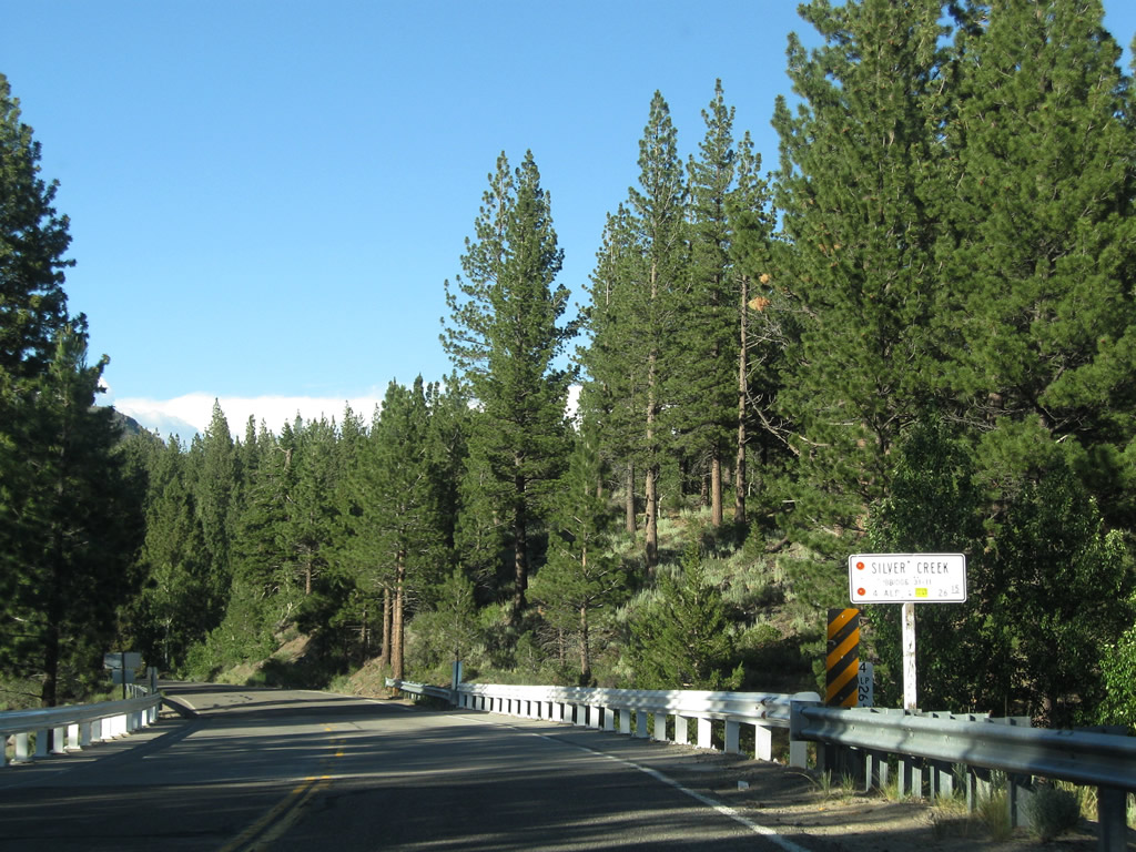
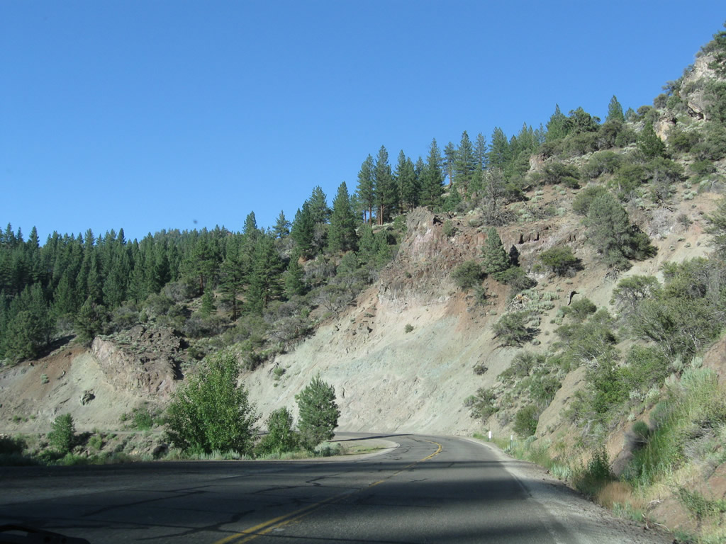
| Curving eastward, a sweeping view of the Silver Creek valley comes into view as SR 4 descends 1,000 feet in elevation over the next three miles. 07/18/09 |
|
| A wall of granite lines the edge of SR 4 as the highway lowers through a series of switch backs and hairpin turns. 07/18/09 |
|
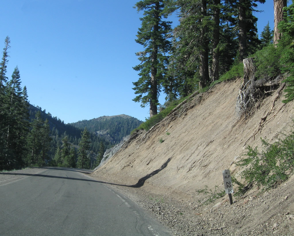
| SR 4 passes by postmile ALP 22.00. 07/18/09 |
|
| Navigating through a series of switchbacks, including Cadillac Curve, SR 4 travels by Noble Lake Trailhead and Silver Creek Campground. Rising to the south along this stretch is towering Highland Peak (el. 10,935 feet). 07/18/09 |
|
| The first switchback curve sign along SR 4 east since leaving Lake Alpine appears after Silver Creek campground. 07/18/09 |
|
| Lowering to 7,000 feet, eastbound SR 4 passes through winter closure gates, then passes over Raymond Medo Creek (postmile ALP 24.47, built 1963). 07/18/09 |
|
| Expanded to two lanes again, SR 4 parallels the Silver Creek in a northeastern direction toward Centreville Flat. 07/18/09 |
|
| SR 4 crosses over Silver Creek twice, first on this 1952 bridge. 07/18/09 |
|
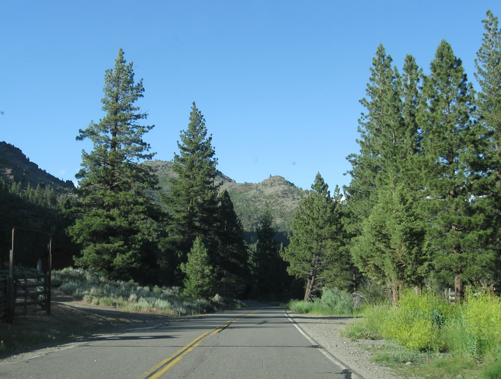
| Advancing northeast through the scenic Silver Creek valley toward Centerville Flat. Silver Hill rises to the northeast. 07/18/09 |
|
| Spanning Silver Creek again, SR 4 moves to its north bank. 07/18/09 |
|
| Beyond another winter closure gate, eastbound SR 4 enters the site of Centreville Flat, a former mining camp and today a campground. Wolf Creek Road stems south from the state route here and follows the East Fork of Carson River and Wolf Creek into the Carson Iceberg Wilderness. 07/18/09 |
|
| Resuming a northward course, SR 4 follows the East Fort of the Carson River from Centerville Flat to SR 89. 07/18/09 |
|
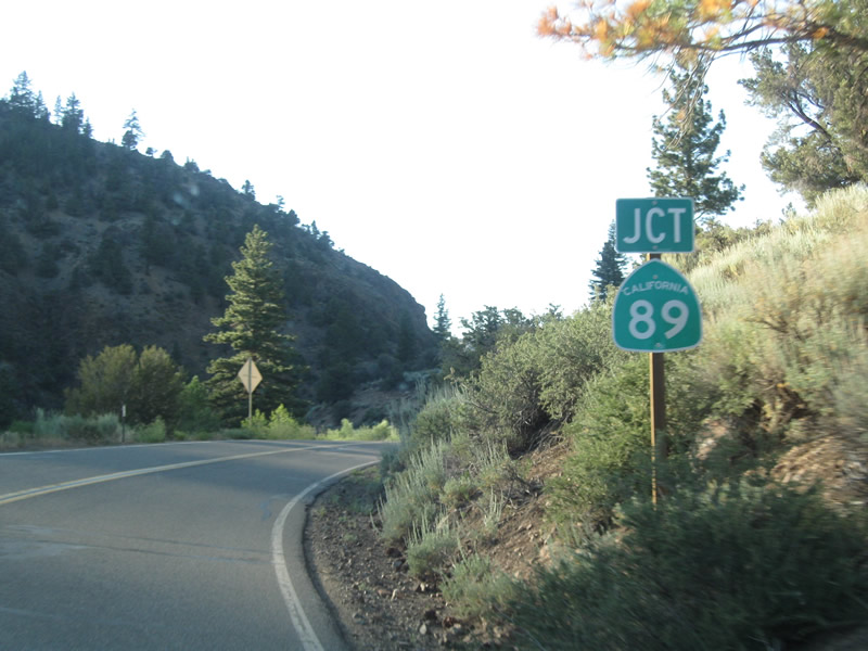
| SR 4 intersects SR 89 at postmile ALP 31.68. North from here to Woodfords via Markleeville, SR 89 is signed alone. However, the southbound direction of SR 89 along the same segment is cosigned with SR 4 west. 07/18/09 |
|
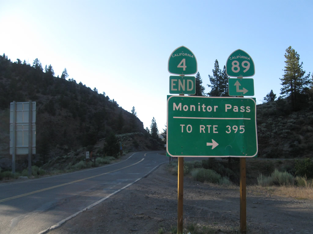
| SR 4 concludes at SR 89 at the site of Mt. Bullion. SR 89 travels east over Monitor Pass to U.S. 395 near Topaz Lake and north to SR 88 at Woodfords Junction. SR 88 provides the connection into the Carson Valley in Nevada, ultimately ending at U.S. 395 south of Carson City. 07/18/09 |
Page Updated 07-21-2018.

 East
East