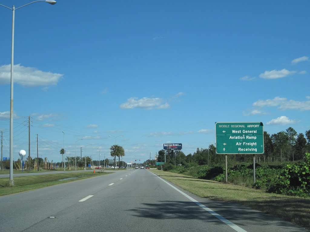
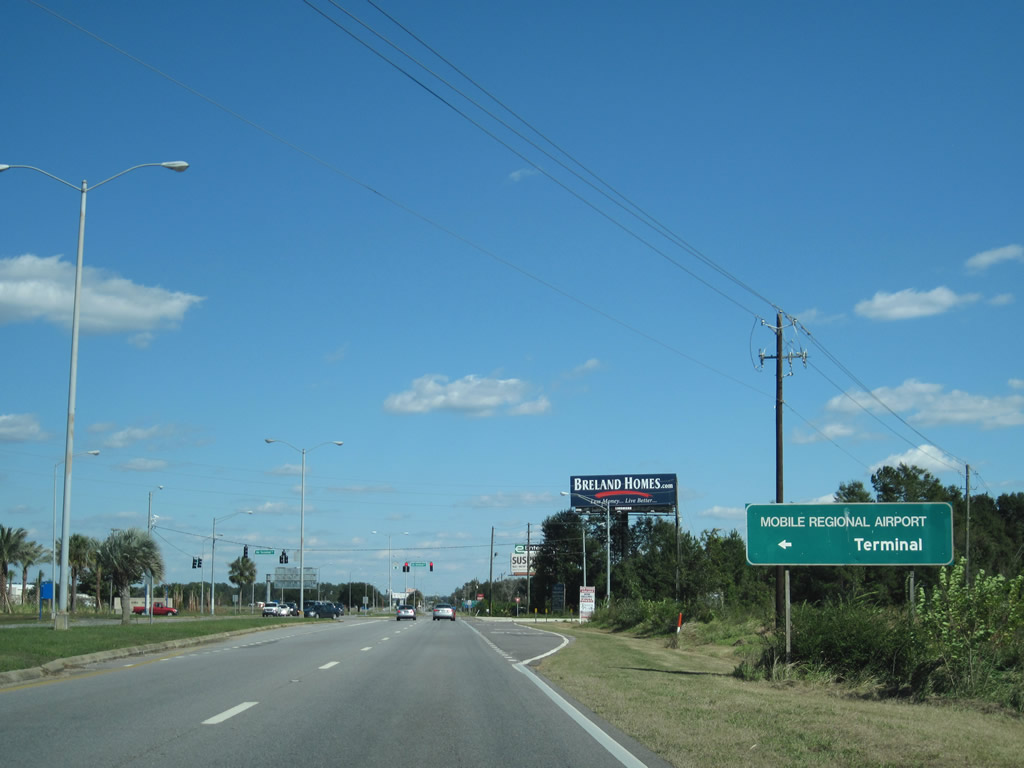
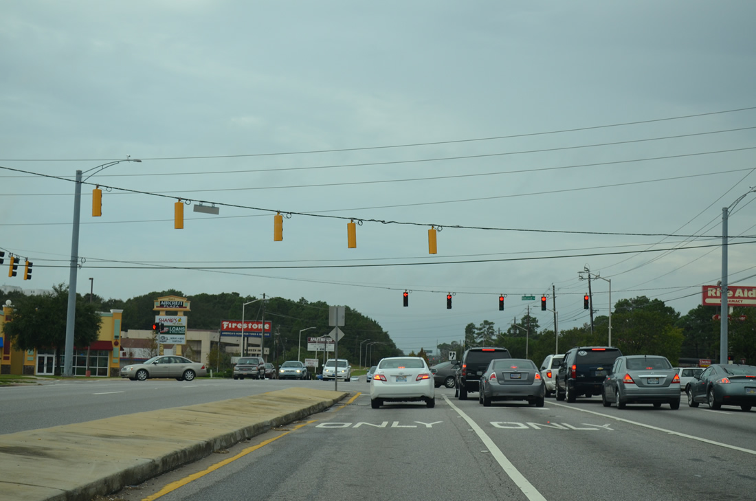
With six overall lanes from Schillinger Road (CR 31) to Interstate 65, Airport Boulevard is the main commercial arterial across the city of Mobile. Service roads accompany sections of Airport Boulevard between West Mobile and Midtown Mobile as well. CR 56 also serves Mobile Regional Airport (MOB), with the passenger terminal located just off Airport Boulevard west of Dawes Road.
West beyond Snow Road (CR 25), Airport Boulevard reduces to two lanes, but suburban growth continues along CR 56 west to Seven Hills and Johnson Road W. The remainder of the route west to Mississippi Highway 614 is rural. MS 614 leads to Hurley.
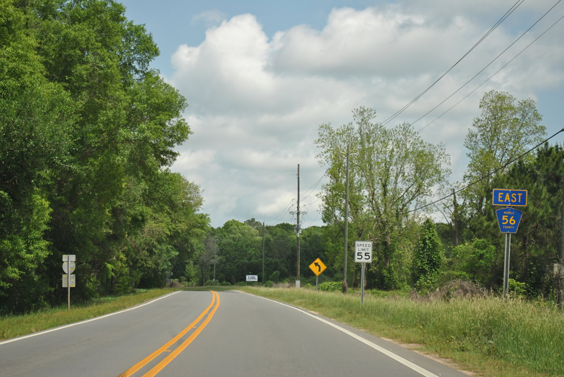
Airport Boulevard is unnumbered within the Mobile city limits. The rural section of Airport Boulevard west to Big Creek Lake and the Mississippi state line is posted as Mobile County Road 56.
|
| The last CR 56 reassurance marker posted along Airport Boulevard stands beyond County Road 11 (Newman Road) south near Seven Hills. 04/05/12 |
|
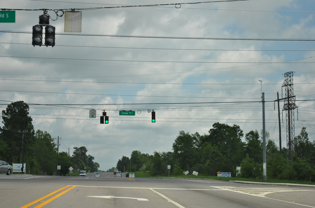
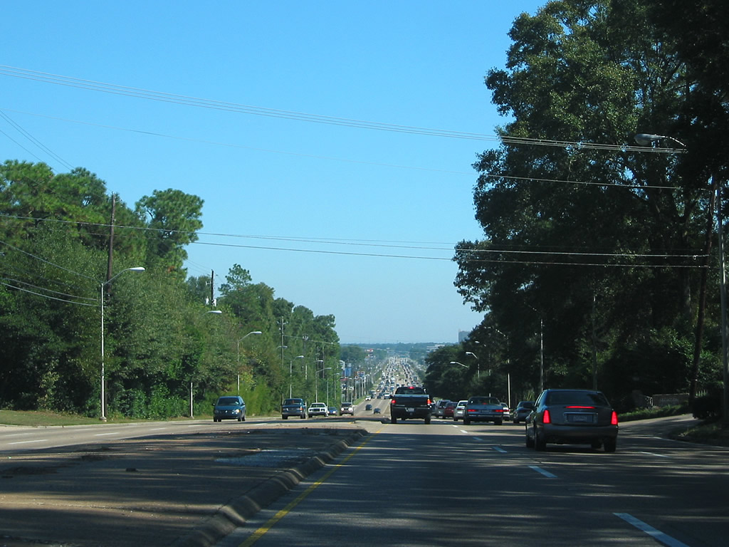
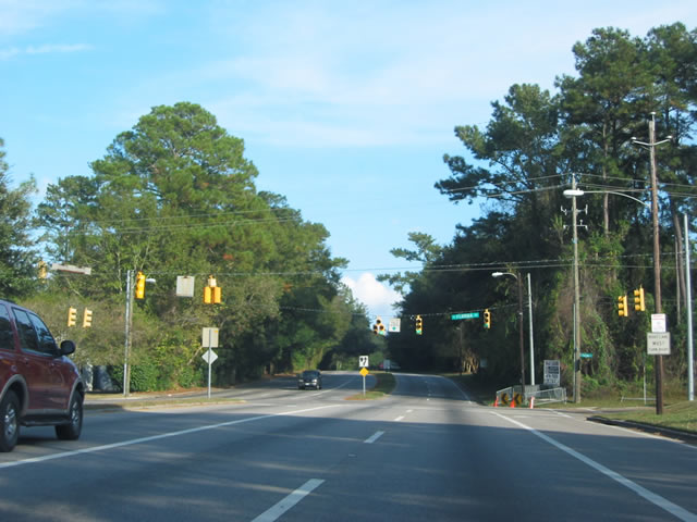
| Airport Boulevard expands into an arterial from just west of Snow Road to the city of Mobile. Snow Road (unsigned County Road 25), from Jeff Hamilton Road (County Road 36) northward to U.S. 98 at Semmes, represents the western extent of suburban growth. 04/05/12 |
|
| Airport Boulevard travels along the south side of Mobile Regional Airport (MOB), straddling the Mobile city line east from Flave Pierce Road. A loop road (Air Terminal Drive) stems north from the four lane divided highway to the airport terminal. 11/05/10 |
|
| Construction in 2010 extended Air Terminal Drive as a new roadway between Airport Boulevard and Grelot / Dawes Roads. The two lane highway provides an optional route to the congested intersection of Airport Boulevard and Schillinger Road. 11/05/10 |
|
| I-10/65 trailblazers posted just east of the Mobile Regional Airport exit along Airport Boulevard. Within the vicinity of the airport, Airport Boulevard is four lanes wide with a grassy median. 08/21/03 |
|
| The first in a series of traffic lights spanning the distance from the airport eastward to Midtown Mobile exists at the northern end of CR 33 (Dawes Road). Dawes travels south and southwest serving many suburban neighborhoods of West Mobile.
These span wire signals were replaced with mast-arm assemblies by 2009. 10/24/03 |
|
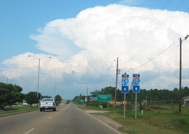
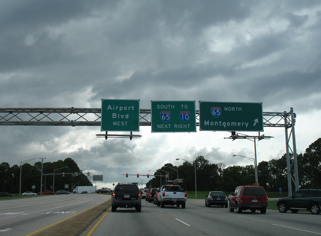
| A set second of Interstate 10 and 65 trailblazers direct travelers originating from Mobile Regional Airport to Interstate 10 (via Schillinger Road south to Theodore Dawes Road east) and Interstate 65 via Airport Boulevard east six miles. 04/26/09 |
|
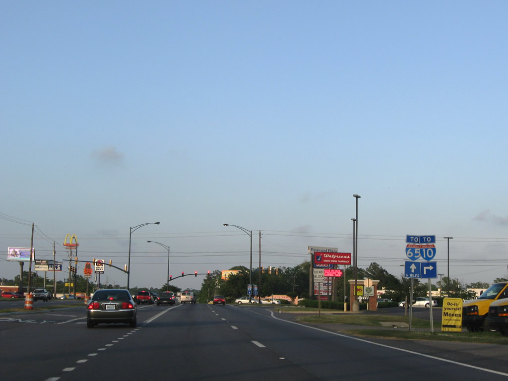
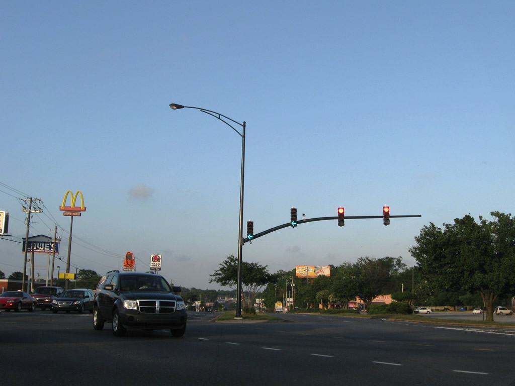
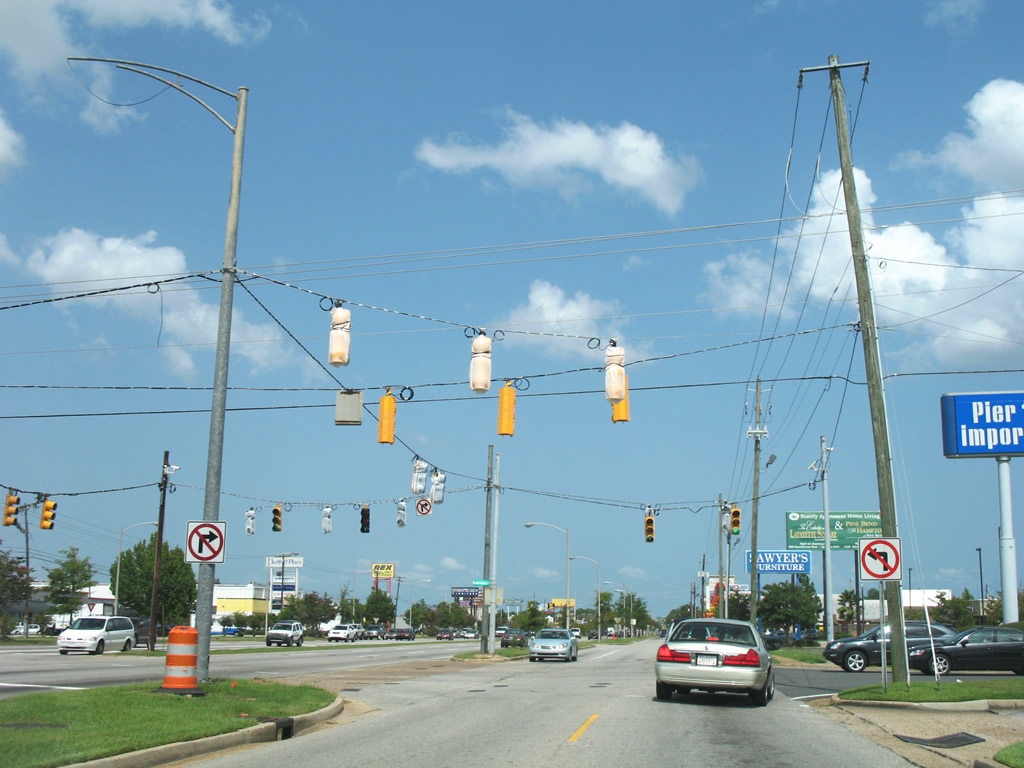
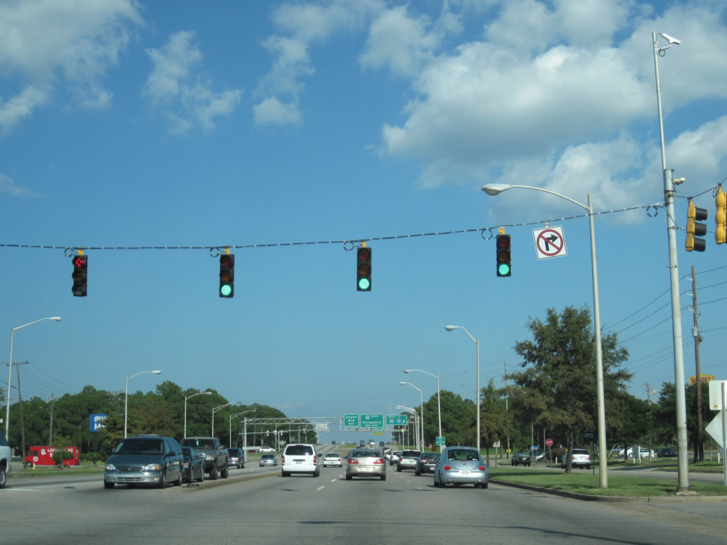
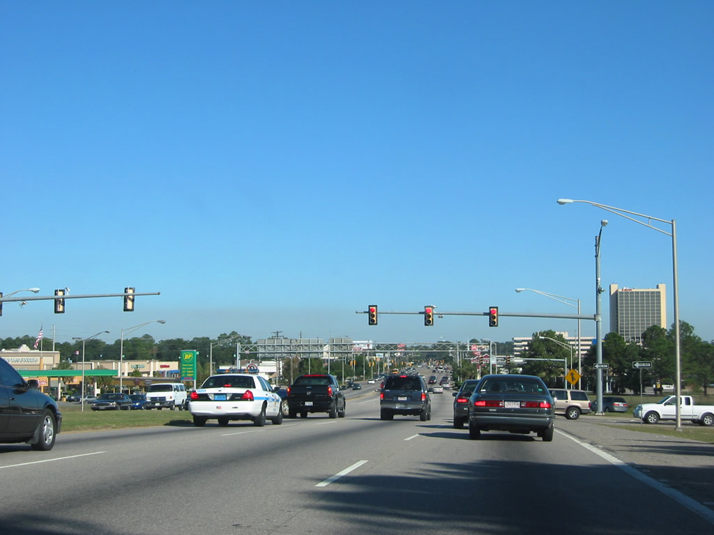
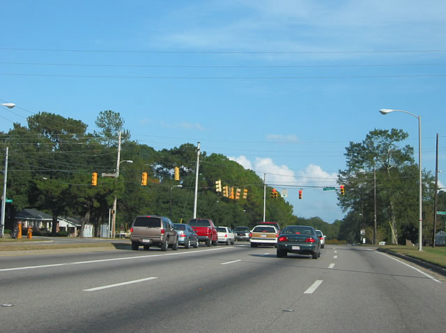
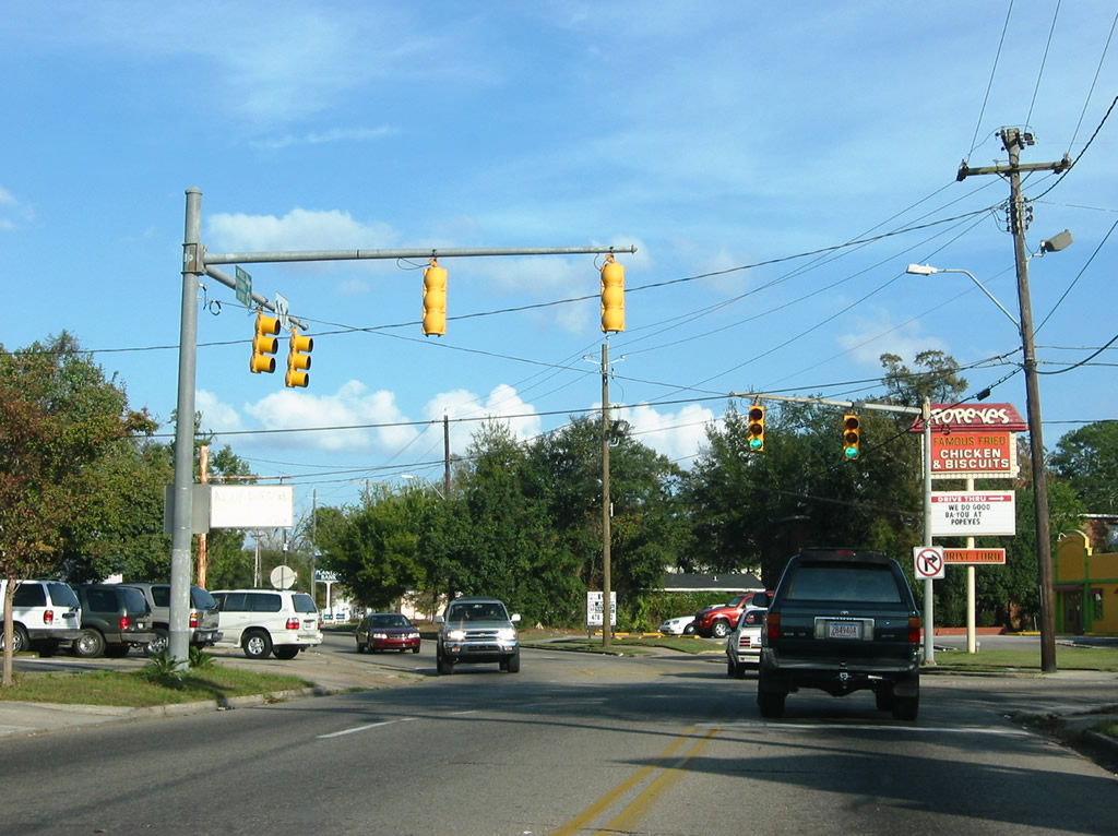
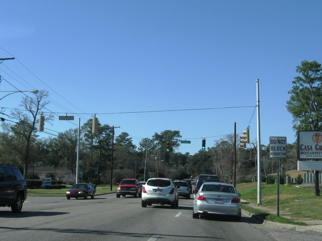
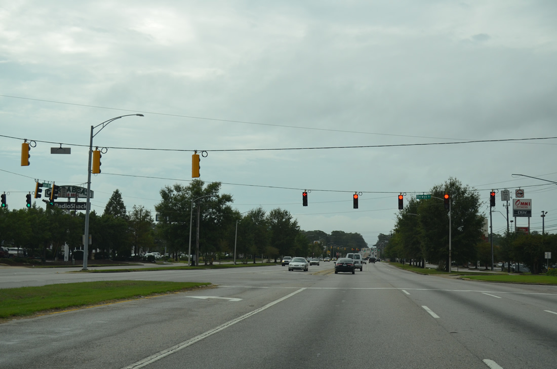
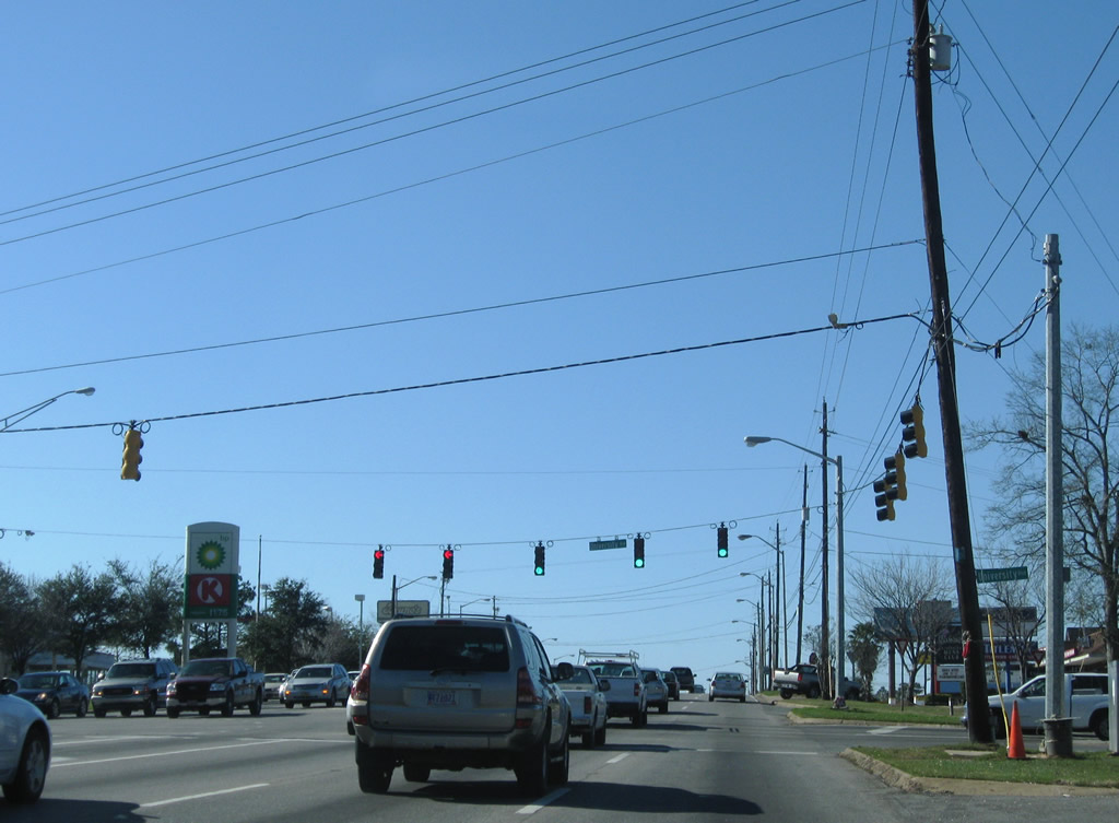
| The busiest and most congested intersection in West Mobile is that between Airport Boulevard and Schillinger Road. Fronted by commercial establishments on all four corners, this intersection represents a choke point for both surface arterials. Schillinger Road, numbered CR 31, is a major north-south corridor between Theodore and U.S. 98 near Semmes. The corridor continually undergoes heavy development, with portions added to the City of Mobile during 2007/08 annexations. Part of the reasoning for the unconstructed West Mobile Bypass was traffic relief for Schillinger Road. 10/24/03 |
|
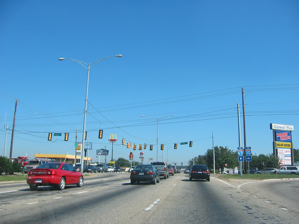
| An updated look at the Airport Boulevard and Schillinger Road intersection reveals new traffic lights that coincide with a new signaling pattern. Originally, the span wire assemblies worked in a split phase, only allowing traffic from Schillinger Road north and south movement during their own phase. The dual turn lane configuration of CR 31 was eliminated with the new signals, and now single protected turn lanes are in place along the north-south arterial. Additionally the traffic light west of Schillinger Road serving the adjacent shopping center was removed 04/26/09 |
|
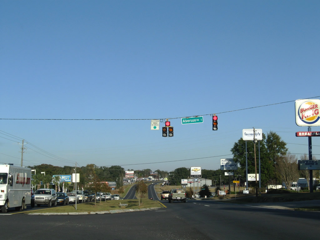
| Alverson Road South connects Airport Boulevard with parallel Old Shell Road just east of Schillinger Road. 11/21/08 |
|
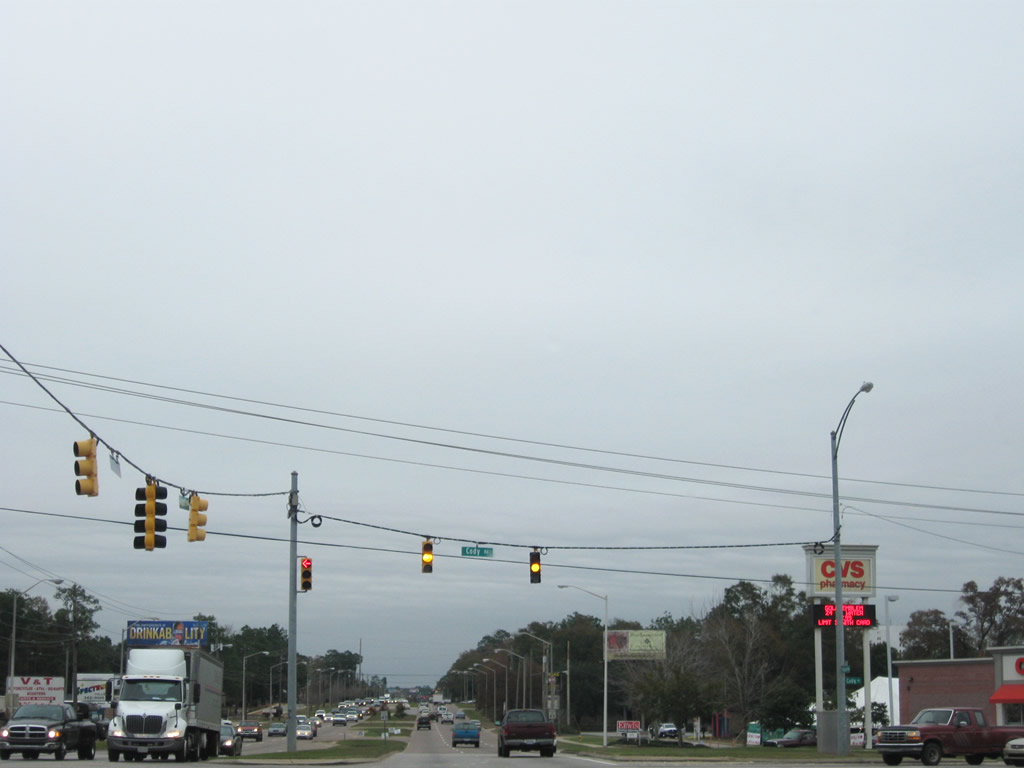
| At Cody Road (CR 37), Airport Boulevard formally crosses the pre-2007 city limit boundary of Mobile. Cody Road straddles the former city line between Zeigler Boulevard to the north and Cottage Hill Road (CR 40) to the south. The road varies between two and three lanes, with development surmounting the stretch between Airport and Cottage Hill continually. 12/17/09 |
|
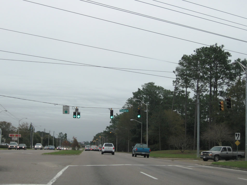
| Foreman Road links Airport Boulevard with Dickens Ferry Road (former CR 56) and Old Shell Road west of the University of South Alabama. 12/17/09 |
|
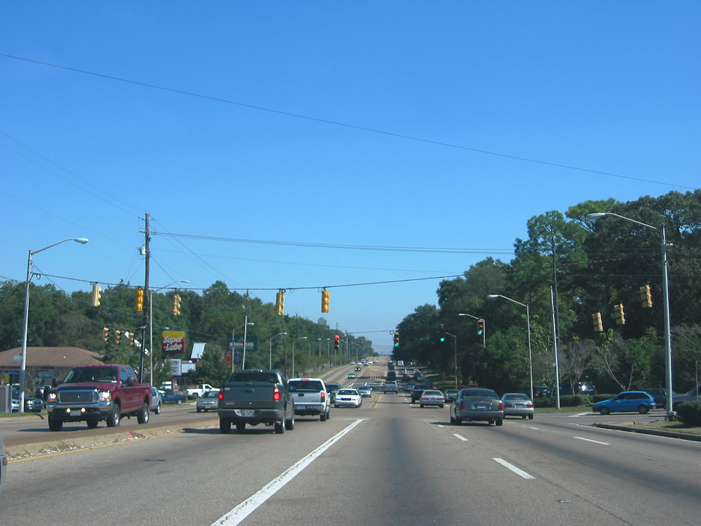
| The next major intersection of Airport Boulevard is that of Hillcrest Road. Hillcrest Road was widened in 2005-06 from two to five lanes between Airport and Old Shell Road (CR 70). This stretch of roadway serves the University of South Alabama and is fairly well traveled. South of Airport Boulevard, Hillcrest Road is divided with four lanes. The four lane segment originally ended at Cottage Hill Road, but widening of the roadway occurred between 2003-09 to Three Notch-Kroner Road. 12/17/09 |
|
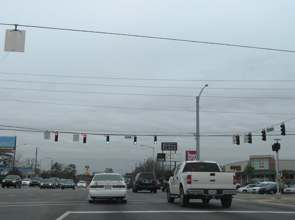
| Hillview Road is a residential street adjacent from a shopping plaza along Airport Boulevard. Several traffic lights for non arterial highways are now posted along Airport Boulevard. Airport Boulevard widens to six lanes at Cody Road. 12/17/09 |
|
| McNeil Avenue leads south into an adjacent residential street grid from Airport Boulevard. This traffic light was added by the mid-2000s. 12/17/09 |
|
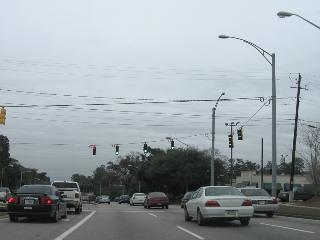
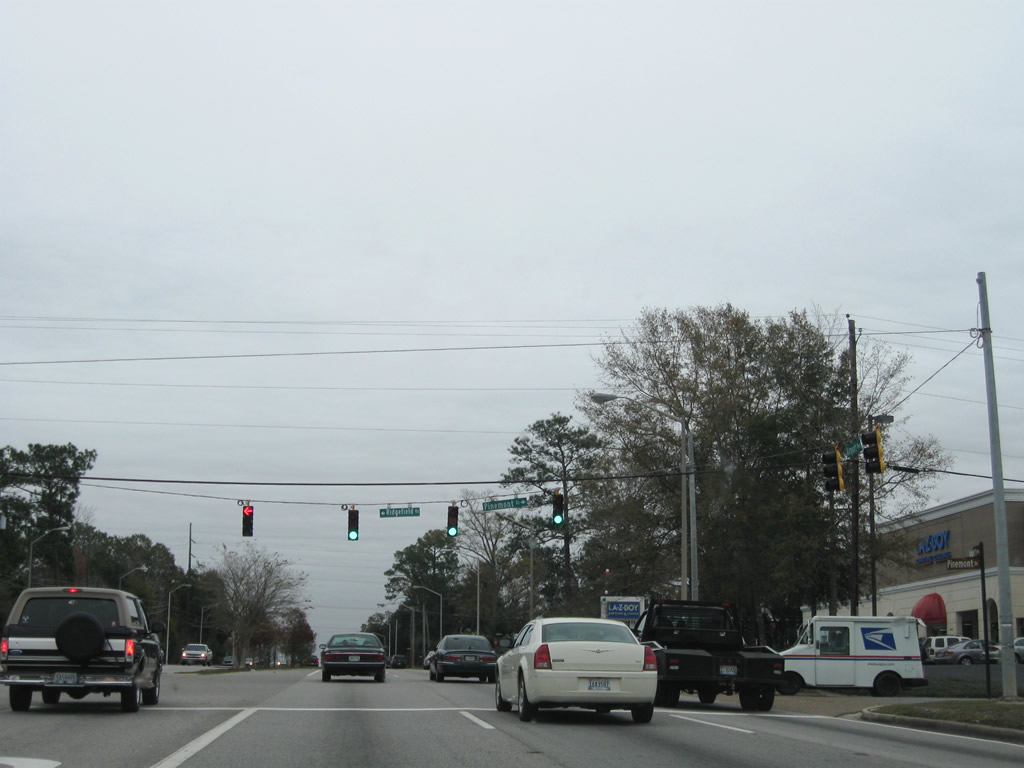
| Ridgefield Road south and Pinemont Drive north tie into Airport Boulevard at another mid-2000's installed signal. The two join the six lane arterial with adjacent residential areas. 12/17/09 |
|
| Pictured here is the intersection with University Boulevard. This junction often ranks as the most dangerous intersection in all of Alabama as reported by the insurance industry. This rating is based upon the number of reported accidents here. University Boulevard is a main north-south arterial between U.S. 98 (Moffett Road) and Demetropolis Road / U.S. 90 (Government Boulevard). As the name suggests, the four lane roadway also serves the University of South Alabama main campus. 10/24/03 |
|
| Airport Boulevard eastbound descends toward Midtown Mobile at the intersection with Westmoreland Drive. The six lane highway sees no traffic lights between University Boulevard and McGregor Avenue. 10/24/03 |
|
| Approaching McGregor Avenue along Airport Boulevard eastbound. A break in the commercialized frontage exists between University Boulevard and the upcoming junction. This stretch is by far the most aesthetically pleasing within the city. 10/24/03 |
|
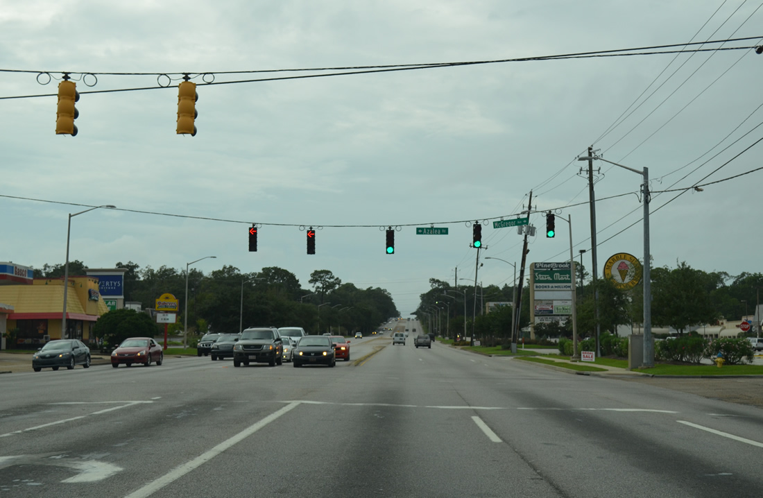
| At the joint intersection with McGregor Avenue and Azalea Road, Airport Boulevard resumes its commercialized frontage. McGregor Avenue is a secondary arterial carrying two lanes from Airport northward to Spring Hill Avenue and Dauphin Street. Azalea Road takes over the naming convention to the south, carrying four lanes en route to Cottage Hill Road and Government Boulevard. 10/24/03 |
|
| Berwyn Drive West connects Airport Boulevard with adjacent Berwyn Drive two tenths of a mile east of McGregor Avenue. 07/17/07 |
|
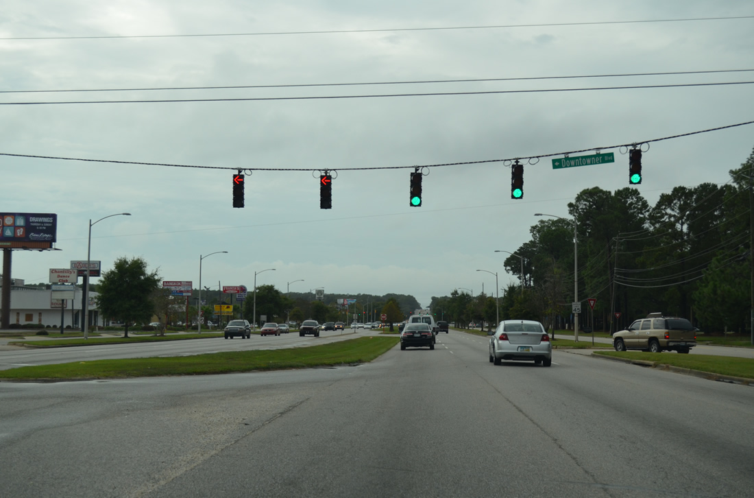
| One of several traffic lights between Azalea Road and Interstate 65 is this complicated configuration at the Downtowner Boulevard. A frontage road system exists between the McGregor / Azalea intersection eastward to the Interstate 65 Beltline frontage road. Each roadway carries two lanes of traffic. The service roads thus require their own set of signals at each intersection of Airport Boulevard. 07/17/07 |
|
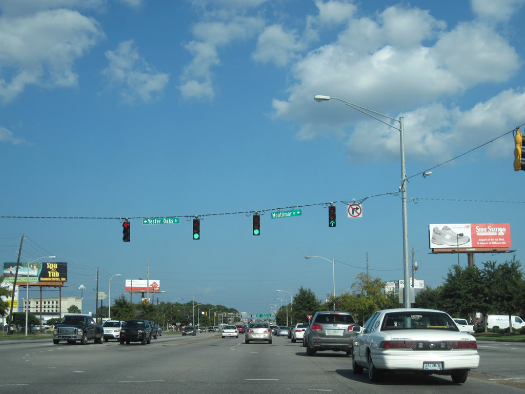
| Airport Boulevard eastbound at the north end of Montlimar Drive. Montlimar is a four lane boulevard between Airport and Cottage Hill Road to the south. The frontage road system at this intersection also requires its own traffic light phase, thus increasing the delay time motorists experience along CR 56. 10/24/03, 09/12/10 |
|
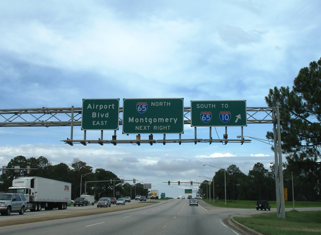
| The final traffic light Airport Boulevard encounters before entering the parclo interchange with Interstate 65 is at the Beltline Highway. The Beltline Highway is a formal name for the southbound Interstate 65 side frontage road system. This road travels between Halls Mill Road northward to Spring Hill Avenue. The light here often causes long delays because of the angle at which the service roads interact with Airport Boulevard. 10/24/03, 09/12/10 |
|
| The southbound Interstate 65 ramp departs Airport Boulevard eastbound. Airport Boulevard retains six lanes across Interstate 65 below. The parclo interchange was originally a cloverleaf. 07/16/07 |
|
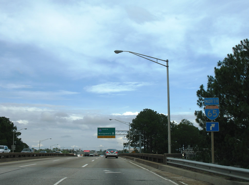
| Interstate 65 northbound trailblazer posted beyond the southbound off-ramp traffic light. The traffic light saw installation when the southbound Exit 3A cloverleaf ramp to Airport Boulevard eastbound was removed. 07/16/07 |
|
| The Airport Boulevard eastbound cloverleaf ramp to Interstate 65 northbound was retained after the cloverleaf interchange was redesigned in the mid 1990s. An overhead was installed upon completion of the construction project. 07/16/07 |
|
| The weaving traffic concerns along Interstate 65 below between entering and exiting traffic to/from Exit 3 developed the need for safety improvements at this interchange. Thus the cloverleaf ramps to Airport Boulevard from Interstate 65 were eliminated. Placed in their stead were signalized intersections to handle expanded single ramps to Airport Boulevard. Pictured here is the end of the northbound Interstate 65 ramp to Airport Boulevard. 10/29/03 |
|
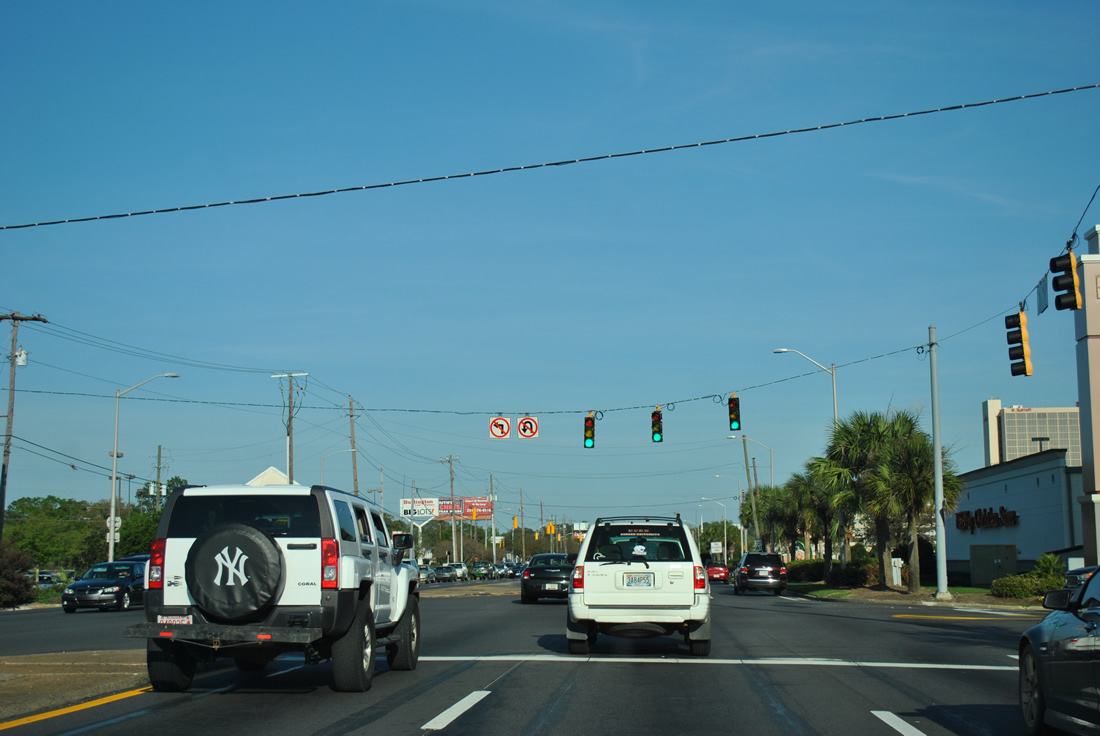
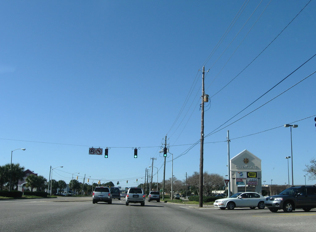
| Beyond the Interstate 65 cloverleaf interchange, Airport Boulevard enters the mall area of the city. To the left is Springdale Shopping Center (built upon the former Springdale Mall site). Situated to the south is Colonial Bel Air Mall. This photograph displays the traffic light for the west exit from the mall areas. 03/18/12 |
|
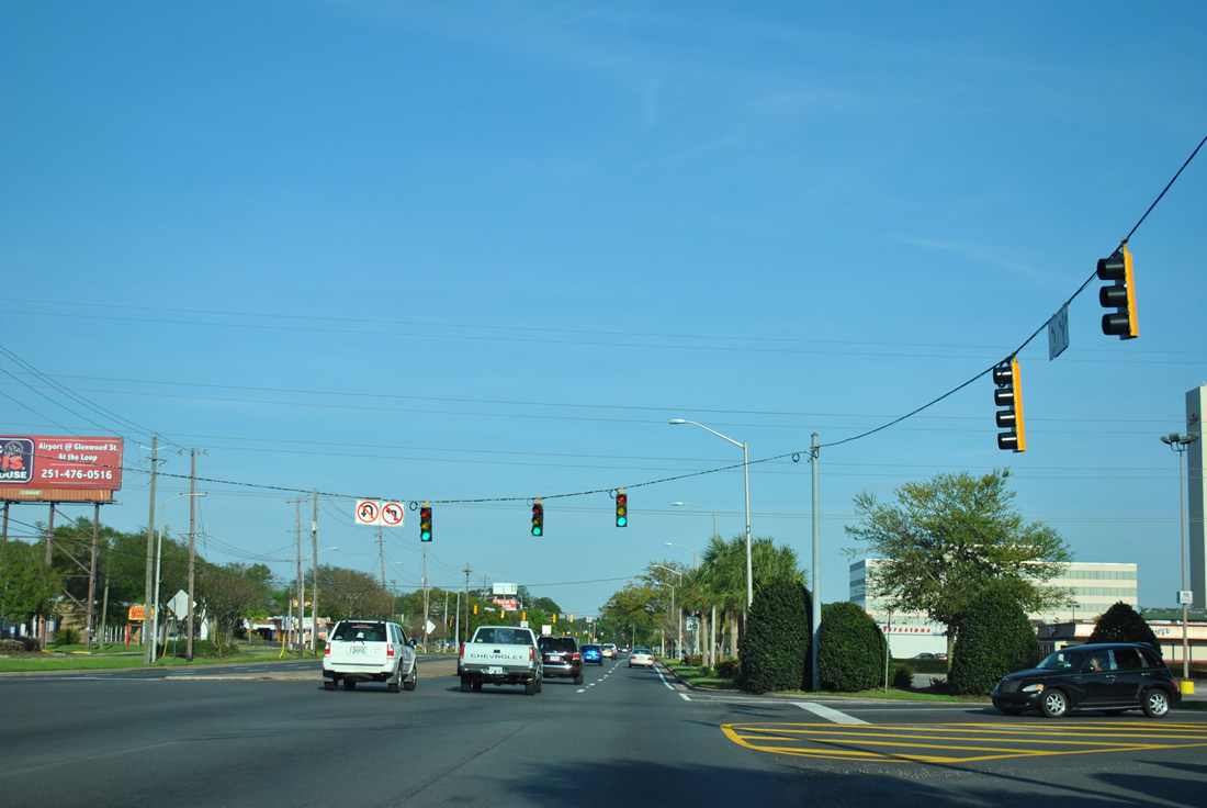
| Three sets of signals govern movements to and from Bel Air Mall from the south side of Airport Boulevard. This set hangs above the eastern exit. 03/18/12 |
|
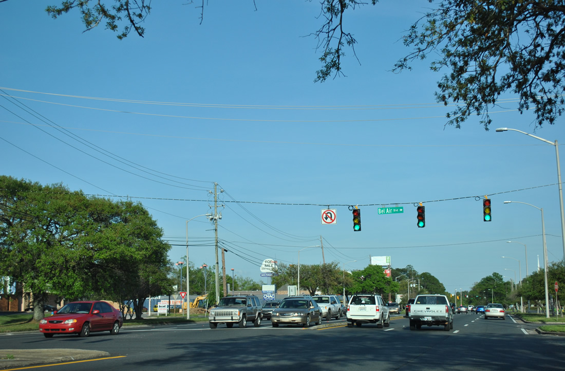
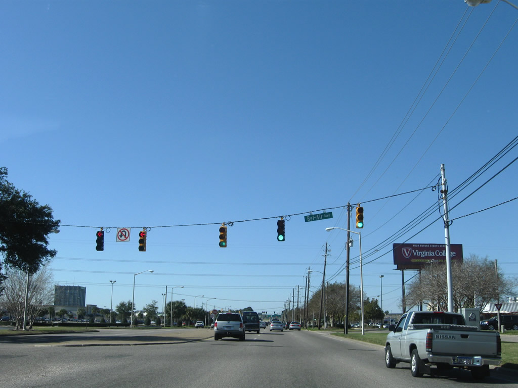
| Before departing the mall area, Airport Boulevard intersects the north end of Bel Air Boulevard. This five lane arterial connects with Cottage Hill Road to the south, taking the majority of northward to Airport Boulevard. 03/18/12 |
|
| Just one block to the east, Airport Boulevard encounters this traffic light at Sage Avenue. Airport Boulevard here begins to transition into a residential boulevard rather than a commercial. 11/17/03 |
|
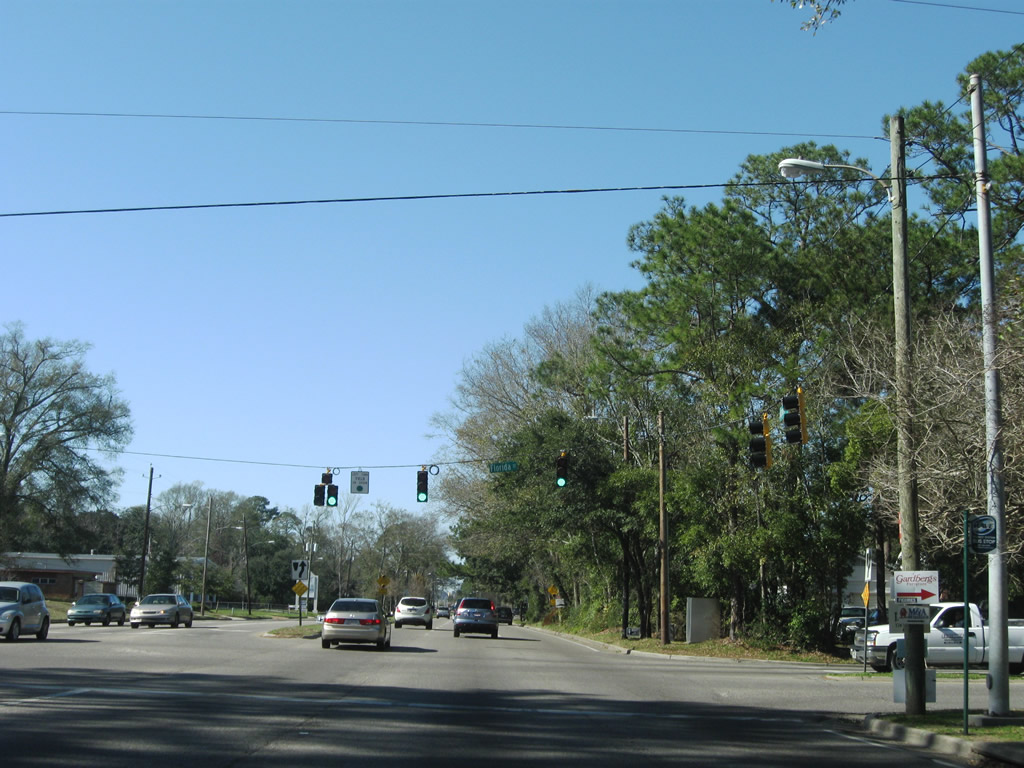
| Viewed here is the south end of Florida Street. While Florida Street is a secondary arterial to the north, within the vicinity of Airport Boulevard the roadway takes a convoluted path through a residential area as a parkway. Airport Boulevard reduces from six to four lanes as it travels east through this intersection. 11/17/03 |
|
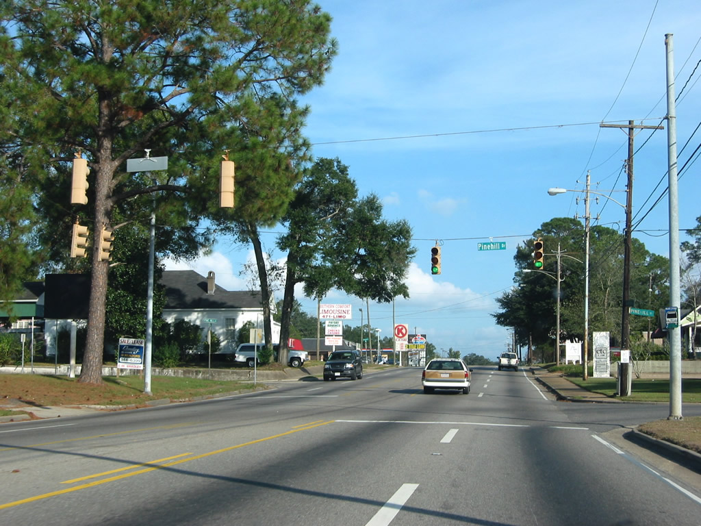
| Airport Boulevard mixes commercial and residential frontage on its final approach to Dauphin Island Parkway and the Loop. Pictured here are 36" Eagle brand signals at the intersection with Pinehill Drive. This local street connects with U.S. 90/Government Boulevard two blocks to the south. 11/17/03 |
|
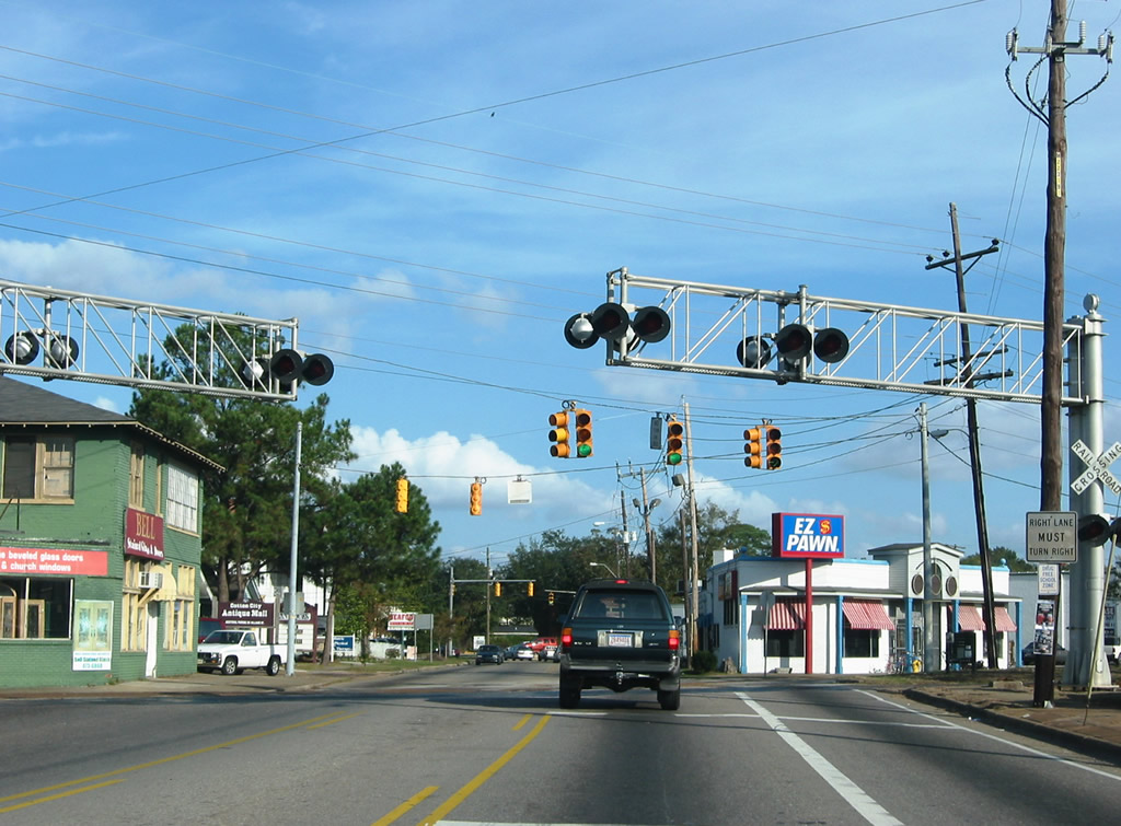
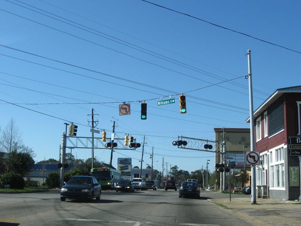
| Airport Boulevard crosses the Canadian National Illinois Central Railroad line before entering the Williams Street intersection. Williams Street becomes SR 163 (Dauphin Island Parkway) one block to the south at the intersection with U.S. 90 (Government Street). 11/17/03 |
|
| These mast arm signals are posted at the north end of Dauphin Island Parkway. While SR 163 officially ends one block to the south, the northbound portion of DIP continues to Airport Boulevard. Airport Boulevard ends in two blocks at Old Government Street. 11/17/03 |
|
| Airport Boulevard branches west from Old Government Street and enters an intersection with the north end of Dauphin Island Parkway. SR 163 follows DIP northward to U.S. 90 (Government Street) one block to the south. 01/16/09 |
|
| Williams Street enters Airport Boulevard southward from Dauphin Street and continue one block to become the southbound beginning of SR 163 (Dauphin Island Parkway). Left turns onto Williams Street south from Airport west are prohibited due to the angle at which the two meet. 01/16/09 |
|
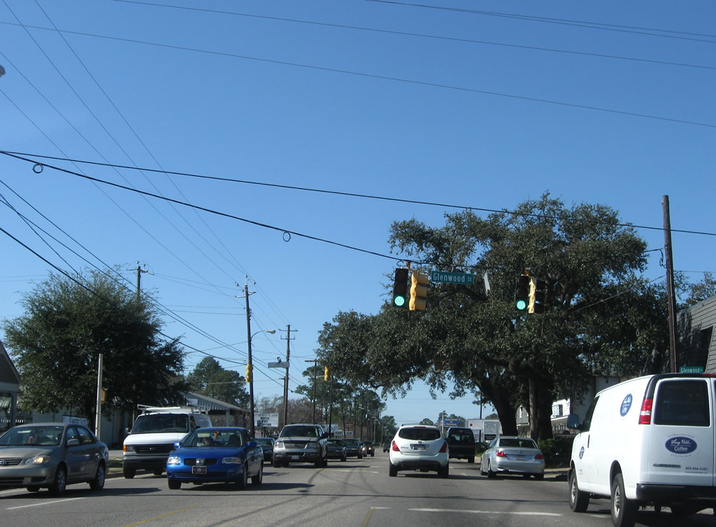
| A split intersection with Glenwood Street is governed by traffic lights on Airport Boulevard. Glenwood Street meets the four lane arterial amid several businesses. 01/16/09 |
|
| Pine Hill Drive connects Airport Boulevard with U.S. 90 (Government Street) at Mobile Police Headquarters. 01/16/09 |
|
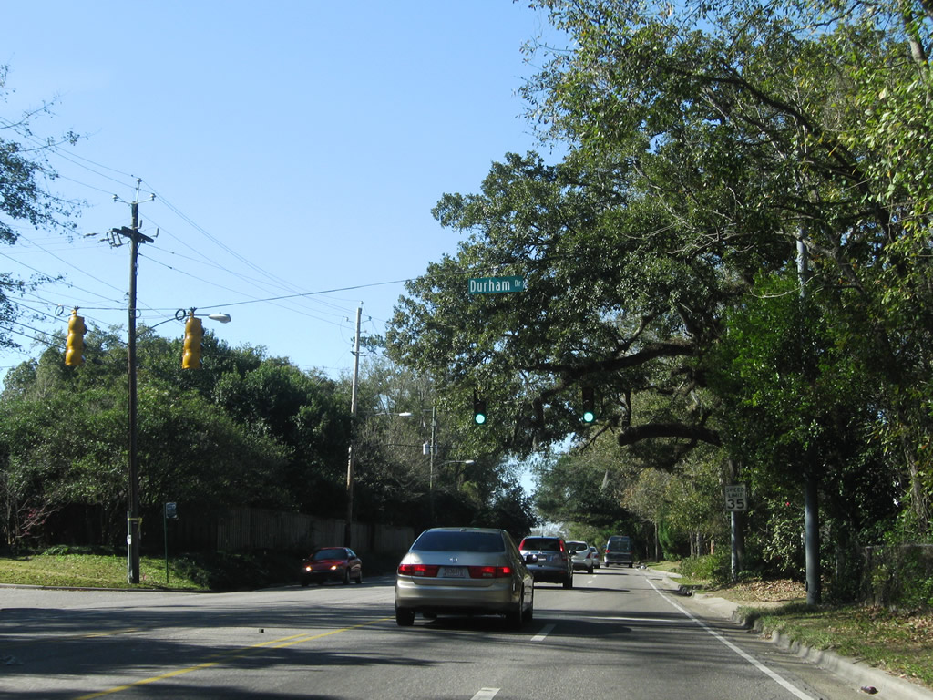
| Mt. Island Drive once provided a short cut to Florida Street leading north from Airport Boulevard to Dauphin Street and U.S. 98 (Spring Hill Avenue), but that connection was severed when the intersection with Airport was eliminated. The signal posted at Mt. Island was removed. Pictured here is the adjacent signal with Durham Drive, a residential street looping southward. 01/16/09 |
|
| Florida Street bends southwest from Mt. Island Drive to meet Airport Boulevard at Grant Street. Grant Street curves southwest and meets the westbound beginning of Cottage Hill Road nearby. Grant Street once carried eastbound Airport Boulevard drivers in a one way couplet with the arterial, but the road's connection to the west was severed from Airport Boulevard when the highway was expanded into its current form. 01/16/09 |
|
| Airport Boulevard expands to six overall lanes from Florida and Grant Street westward to Cody Road. The next signal governs the movements between Airport and Sage Avenues. Sage Avenue leads south to Cottage Hill Road and north as a busy through road to Old Shell Road. 01/16/09 |
|
| Bel Air Boulevard follows and leaves Airport Boulevard southward around the periphery of Colonial Bel Air Mall to directly merge with Cottage Hill Road leading southwest. 01/16/09 |
|
| Westbound at the Bel Air Mall east exit and the entrance to Springdale shopping center (formerly the Springdale Mall). An entrance to the mall from Airport Boulevard west is available at the next intersection. 01/16/09 |
|
| Junction Interstate 65 shield assembly posted at the first of two intersections serving the west exit from Bel Air Mall and west entrance to the Springdale shopping plaza respectively. 01/16/09 |
|
| Tying into the Springdale west intersection is the East Interstate 65 Service Road system known as the North Beltline Highway. The frontage road serves a bevy of businesses as it leads north to Spring Hill avenue from Airport Boulevard. 01/16/09 |
|
| Entering the Interstate 65 parclo interchange at the Interstate 65 northbound ramp. The traffic light ahead facilitates movements from Interstate 65 northbound onto Airport Boulevard. The former northbound cloverleaf grading can still be seen to the right as a grassy area. 07/16/07 |
|
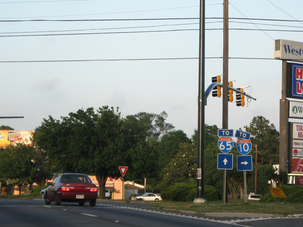
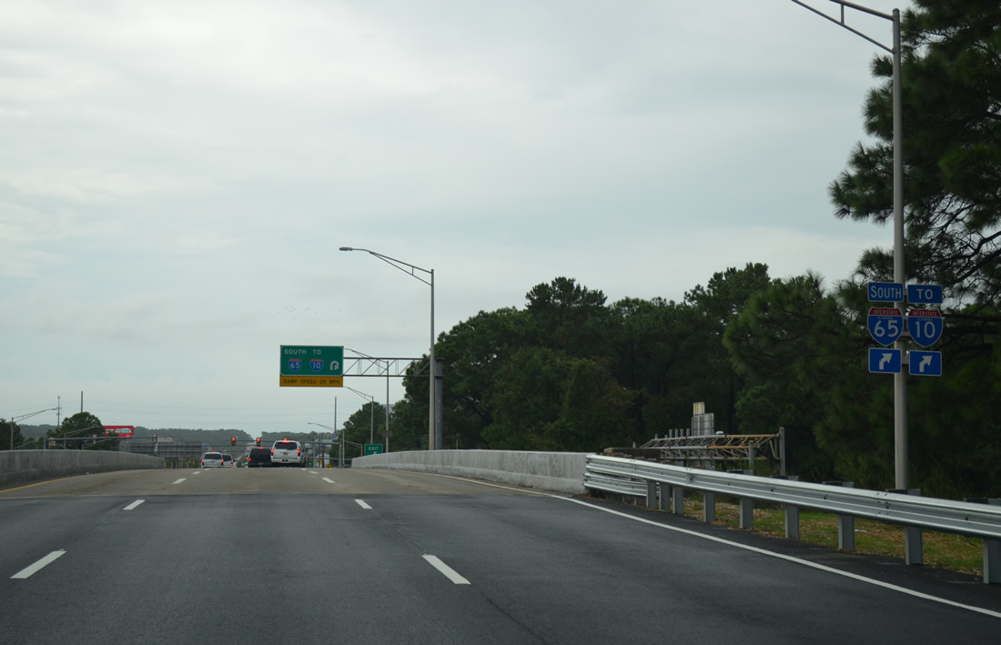
| All ramps for Interstate 65 southbound in Mobile coincide with trailblazers for Interstate 10. 09/30/12 |
|
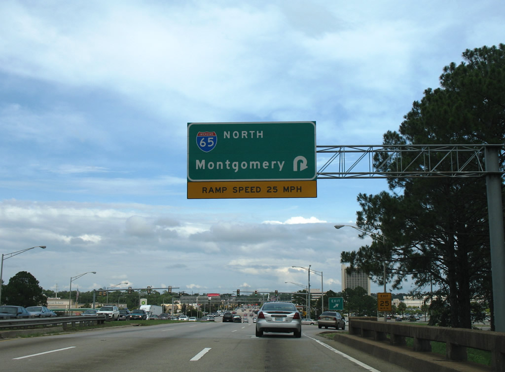
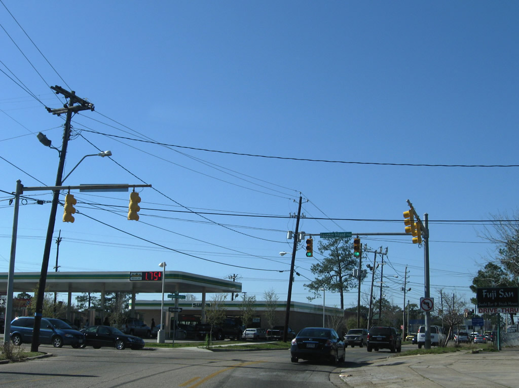
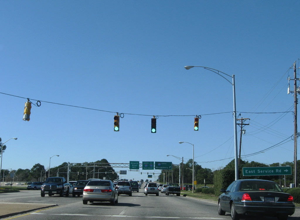
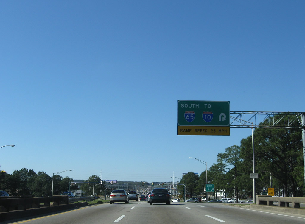
| Traffic to Interstate 65 southbound departs Airport Boulevard westbound. The southbound off-ramp to Airport Boulevard ties in at the traffic light ahead. Beyond that junction is the South Beltline Highway and commercialized blitz.
The Exit gore sign was replaced by 2007 and to read "Exit 3", which is the interchange number of Interstate 65 below. This was corrected by 2012 to a generic exit sign. 01/16/09 |
|
| The West Interstate 65 Service Road ties into the Airport Boulevard frontage roads immediately after the freeway. Carrying traffic in both directions, the service roads continue toward the intersection with Azalea Road / McGregor Avenue. 01/16/09 |
|
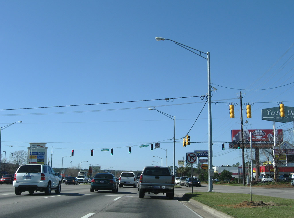
| Montlimar Drive leads south from Airport Boulevard to Cottage Hill Road and a variety of business and office parks. Yester Oaks Drive ties into the same intersection from the Yester Oaks Town Homes community. 01/16/09 |
|
| Downtowner Boulevard follows from Airport Boulevard south to the Mobile Festival Center shopping plaza and Michael Boulevard. The multi-lane arterial serves additional office facilities. 09/30/12 |
|
| Berwyn Drive ties into Airport Boulevard from Berwyn Drive South behind an adjacent shopping center. Berwyn Drive West connects with residential areas north of Eslava Creek. 09/30/12 |
|
| Azalea Road north and McGregor Avenue south meet at Airport Boulevard ahead of its climb to University Boulevard. Azalea Road constitutes a busy arterial south to U.S. 90 (Government Boulevard); McGregor Avenue continues north with two lanes to Dauphin Street and Spring Hill Avenue. 09/30/12 |
|
| Westbound Airport Boulevard at the congested intersection with University Boulevard. University Boulevard provides the main route to the University of South Alabama campus from Cottage Hill Road northward and U.S. 98 (Moffett Road) southward. The road carries four overall lanes with a concrete or grassy median as it links shopping centers, apartment complexes, and residential areas with the University and Airport Boulevard. Connections with Highpoint Boulevard / Belcase Road north and Demetropolis Road south ultimately connect Halls Mill Road with U.S. 45. 01/16/09 |
|
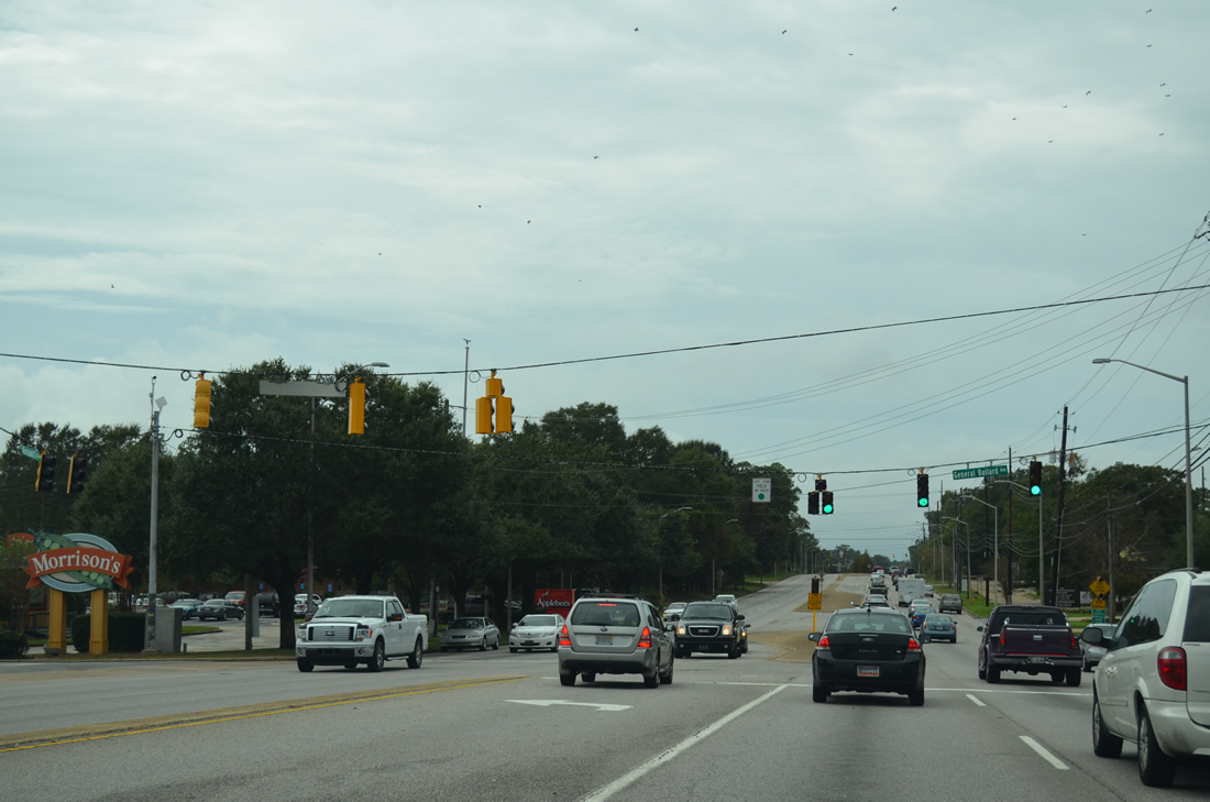
| General Bullard Avenue leads north from opposite a shopping center entrance at Airport Boulevard into residential areas north to Bit and Spur Road. 09/30/12 |
|
| Hillcrest Road is a busy north-south arterial leading south from Old Shell Road and the University of South Alabama to Three Notch Road near Tillmans Corner. Hillcrest Road carries four overall lanes throughout. 09/30/12 |
Page Updated 10-02-2012.

 Airport Boulevard - East