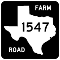
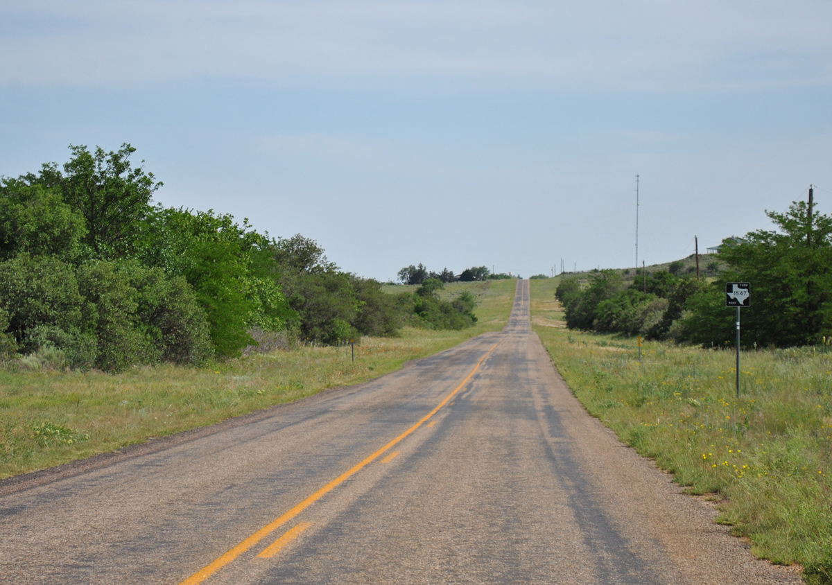
FM 1547 provides a cutoff north from U.S. 287 and the Hall County city of Memphis to FM 1056 east to Wellington and IH 40 east to Shamrock. The highway totals 43.128 miles along a rural course through Collingsworth and southern Wheeler Counties.
|
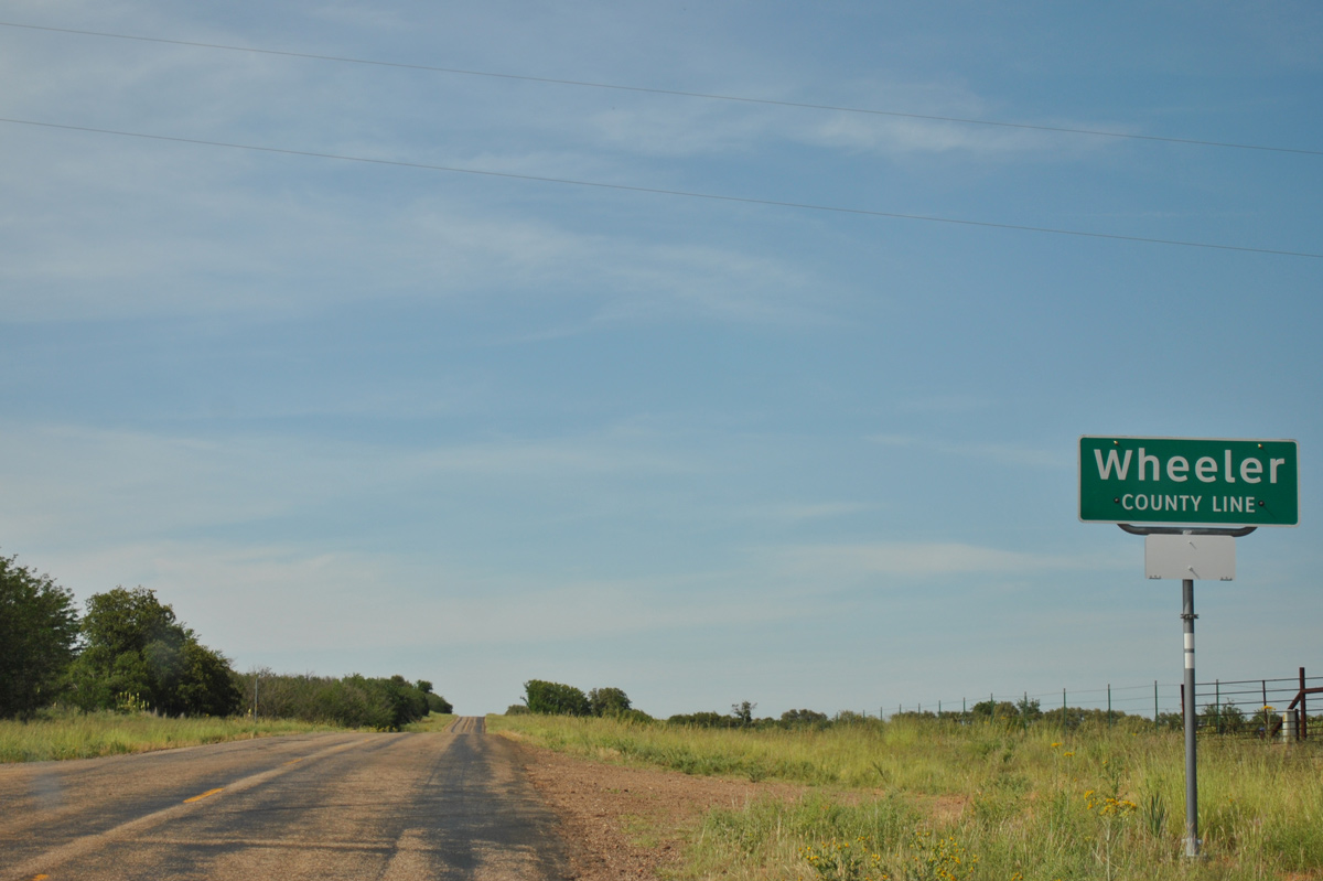
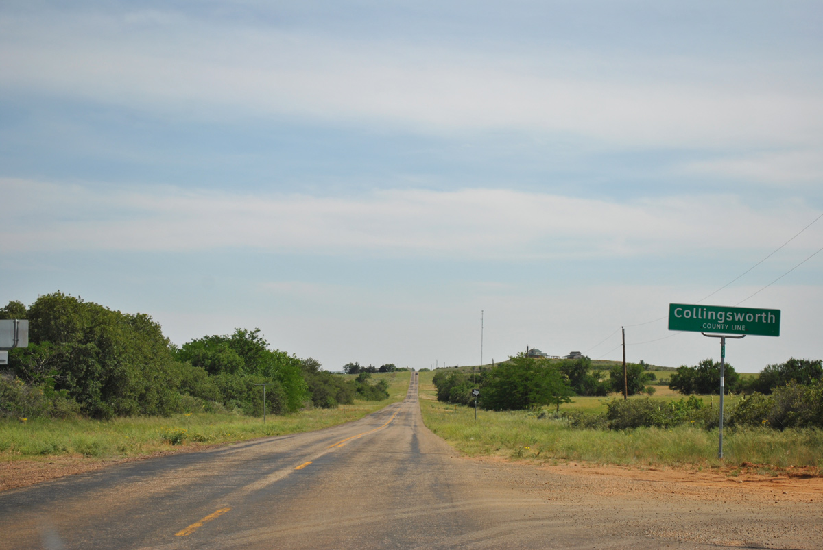
| The 38.19 mile stretch through Collingsworth County concludes as FM 1547 enters Wheeler County. 05/05/12 |
|
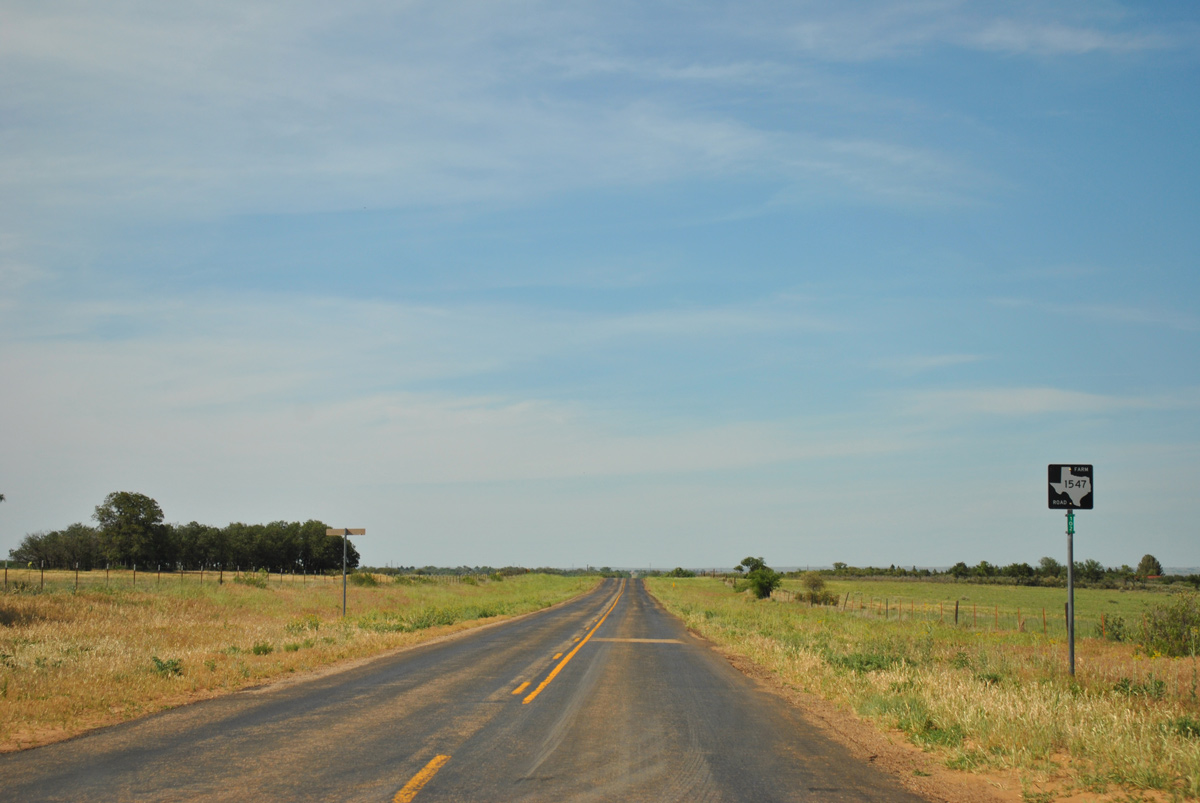
| The last reassurance marker for FM 1547 north stands beyond the Collingsworth County line. 05/05/12 |
|
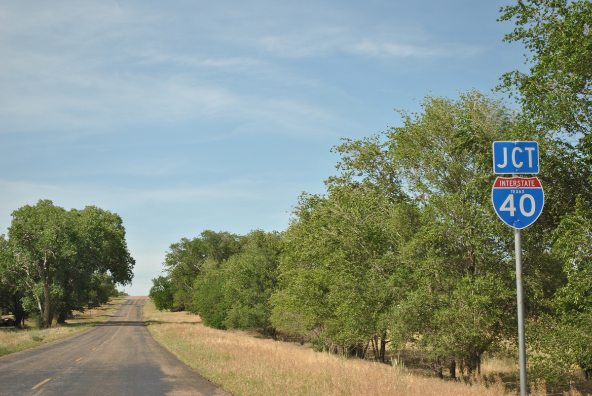
| FM 1547 rises from a crossing of Long Dry Creek to meet IH 40. 05/05/12 |
|
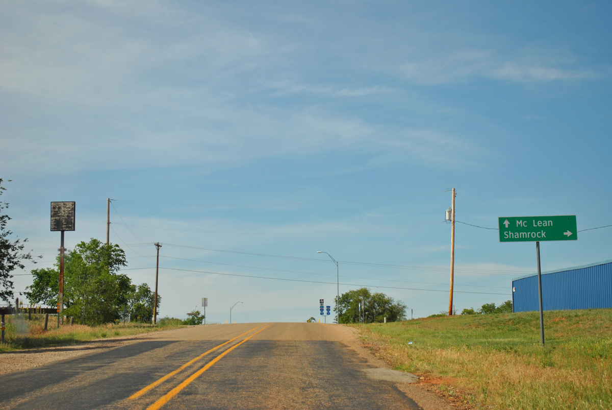
| Signs for IH 40 at Lela use the local control points of the nearby city of Shamrock to the east and the Gray County town of McLean to the west. 05/05/12 |
|
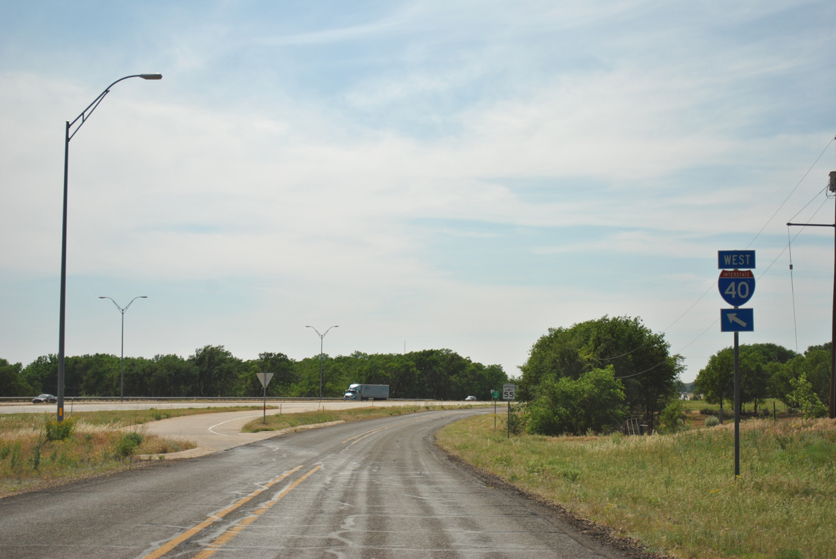
| The IH 40 frontage road system leads motorists to the respective on-ramps of IH 40. They double as Historic U.S. 66. 05/05/12 |
|
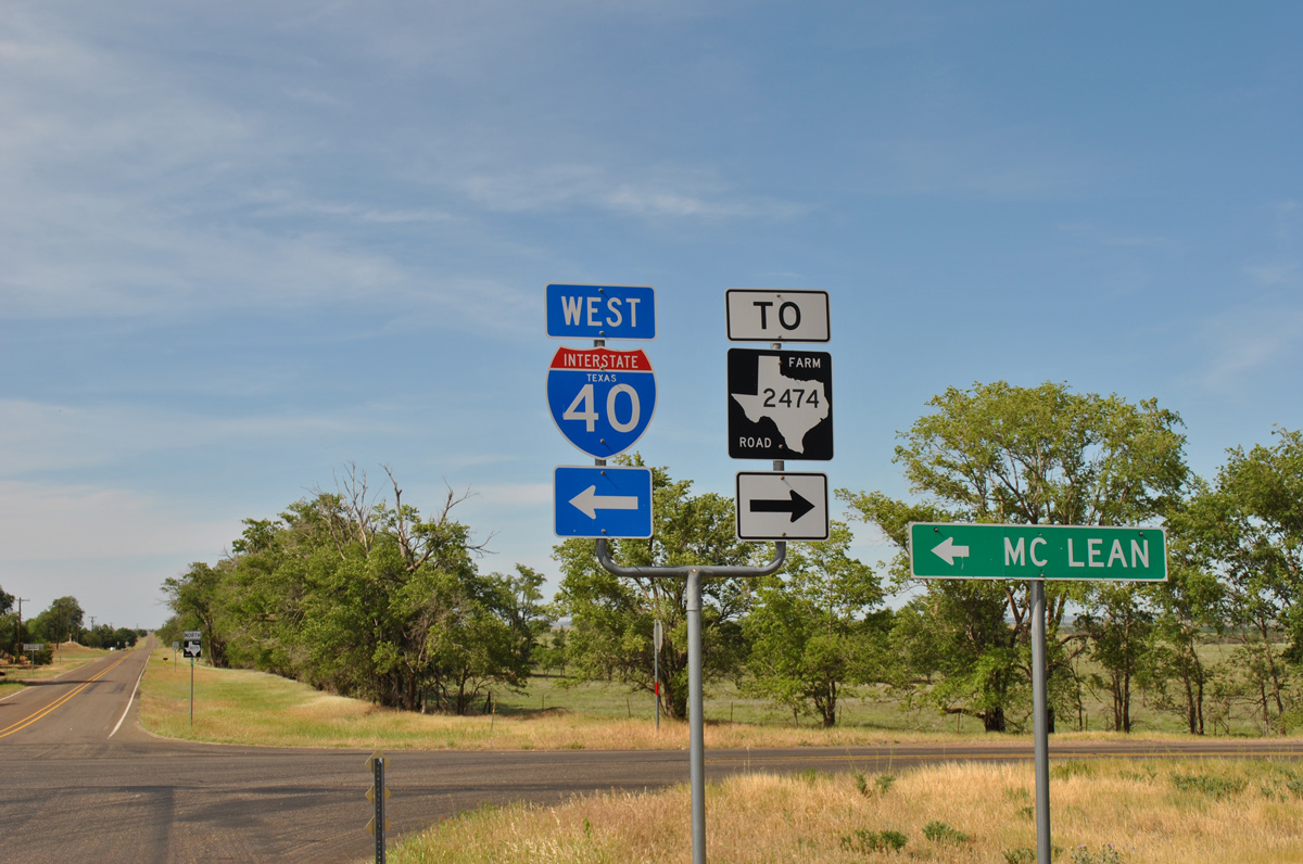
| The north side IH 40 frontage road ventures east three miles to FM 2474, a minor connector north 1.01 miles to CR 268. 05/05/12 |
|
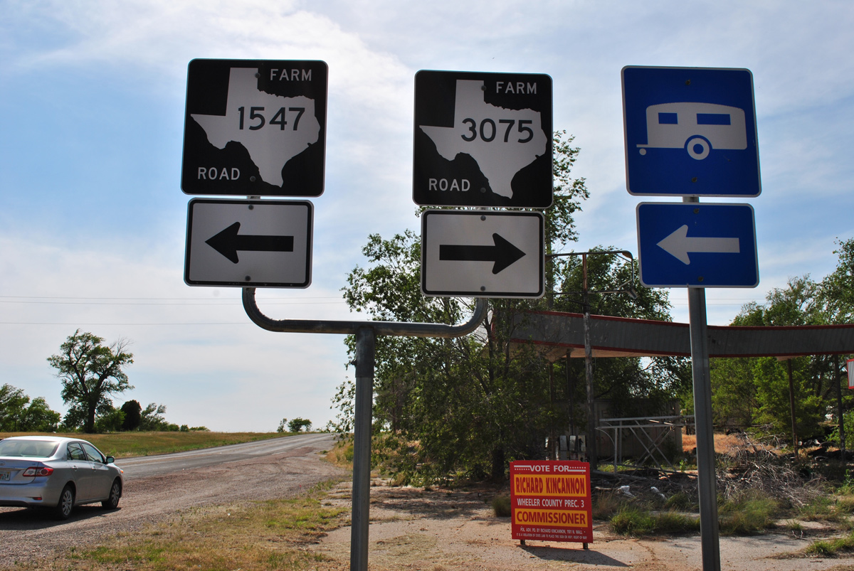
| The community of Lela consists of three blocks west from FM 1547 / FM 3075 to the westbound on-ramp for IH 40 to Amarillo. 05/05/12 |
|
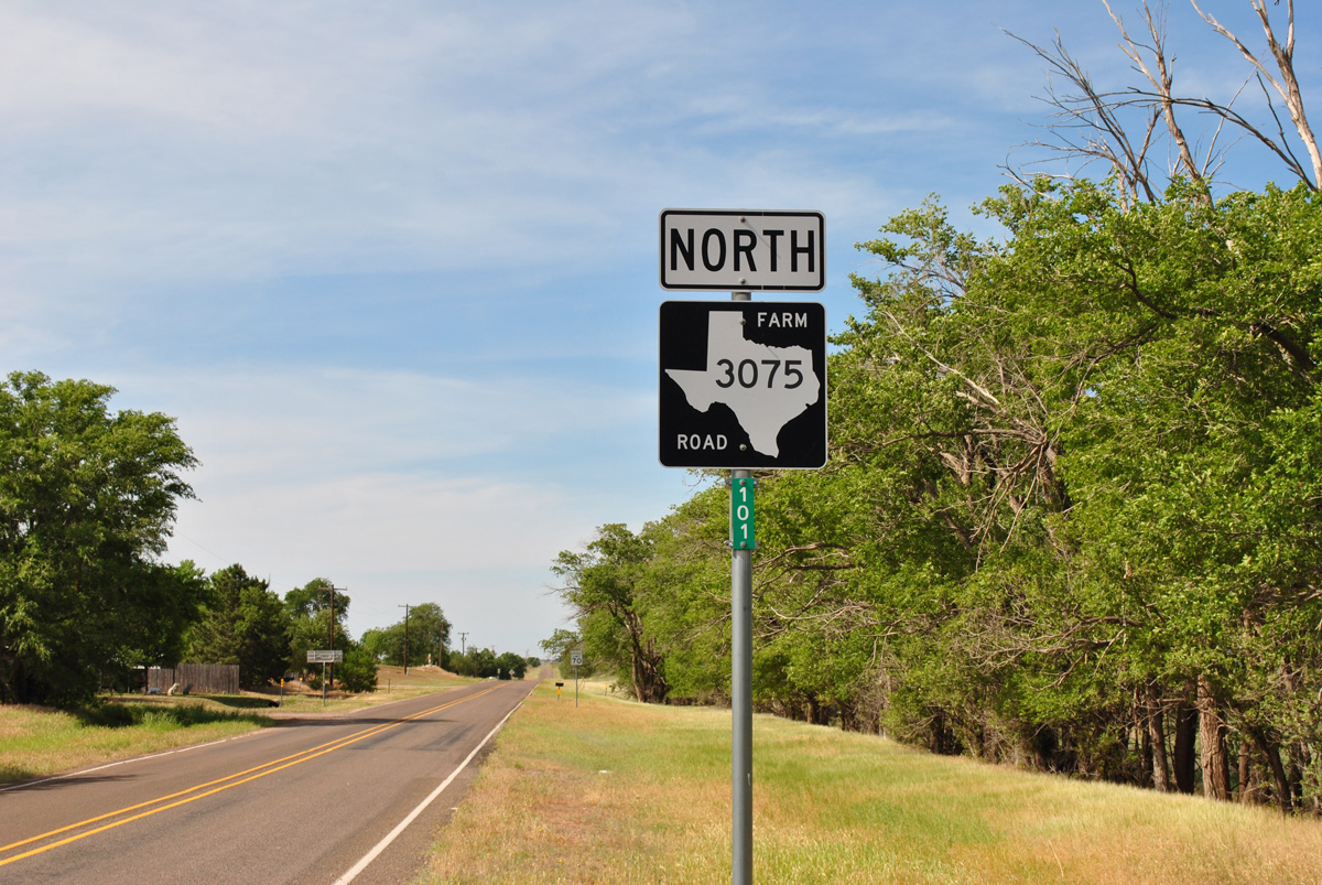
| FM 3075 extends 3.04 miles north from FM 1547 through ranch areas to County Road 11 and 262. 05/05/12 |
|
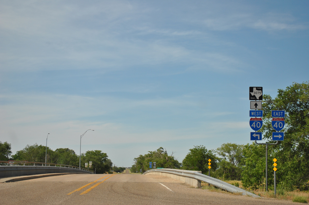
| FM 1547 begins opposite the south end of FM 3075 at the frontage road system of IH 40 through Lela. 05/05/12 |
|
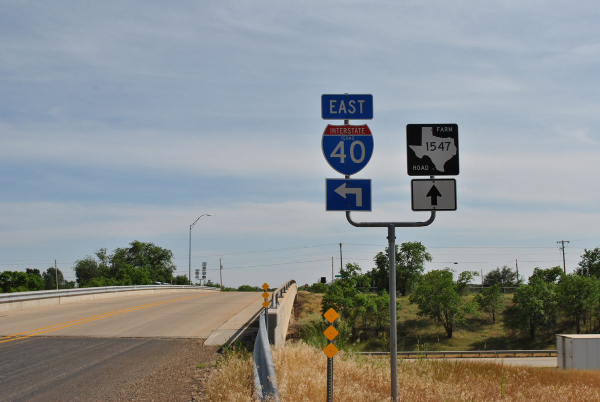
| FM 1547 passes over IH 40 ahead of the eastbound on-ramp to Oklahoma City. 05/05/12 |
|
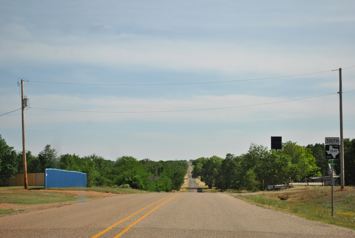
| Leading away from IH 40 and the community of Lela on FM 1547 south. 05/05/12 |
|
| Speed limits increase to 70 miles per hour on FM 1547 south to the Collingsworth County line. 05/05/12 |
|
| FM 1547 advances south 7.02 miles from Wheeler County to FM 1036 at the settlement of Dozier. 05/05/12 |
Page Updated 04-03-2017.