
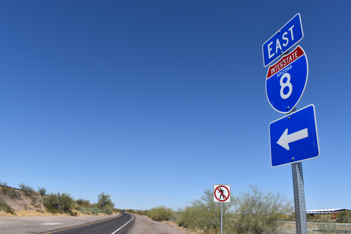
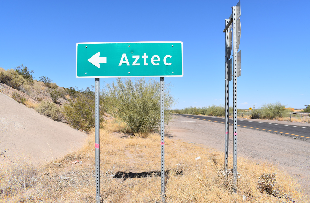
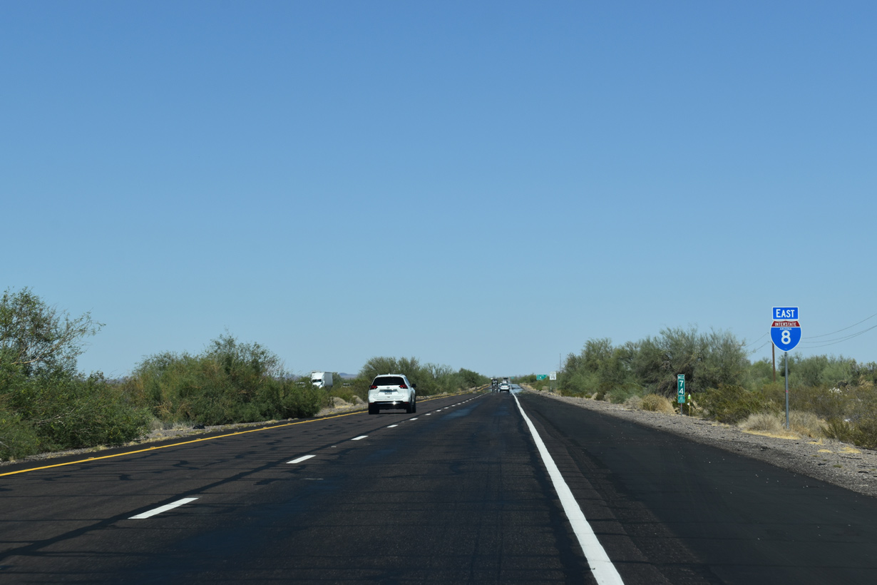
The eastbound entrance ramp for Interstate 8 from Aztec Road at Aztec, Arizona. 05/31/21
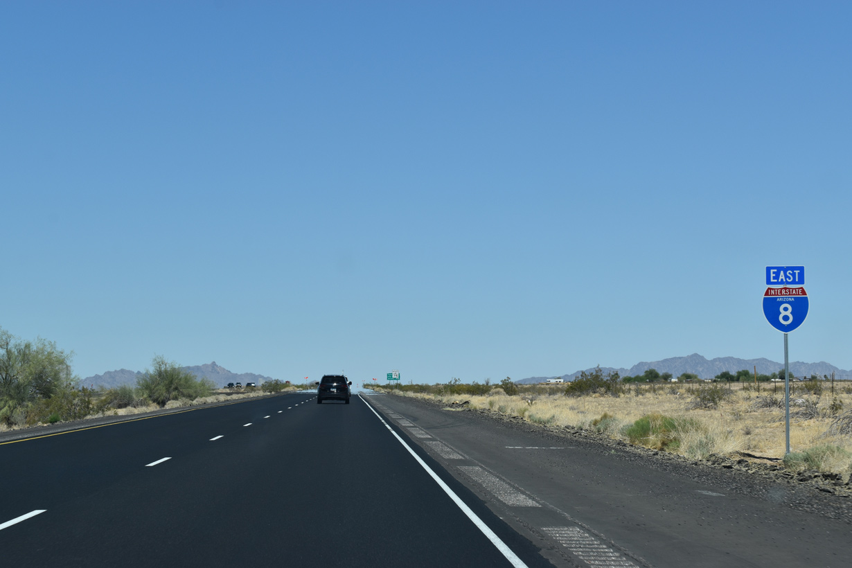
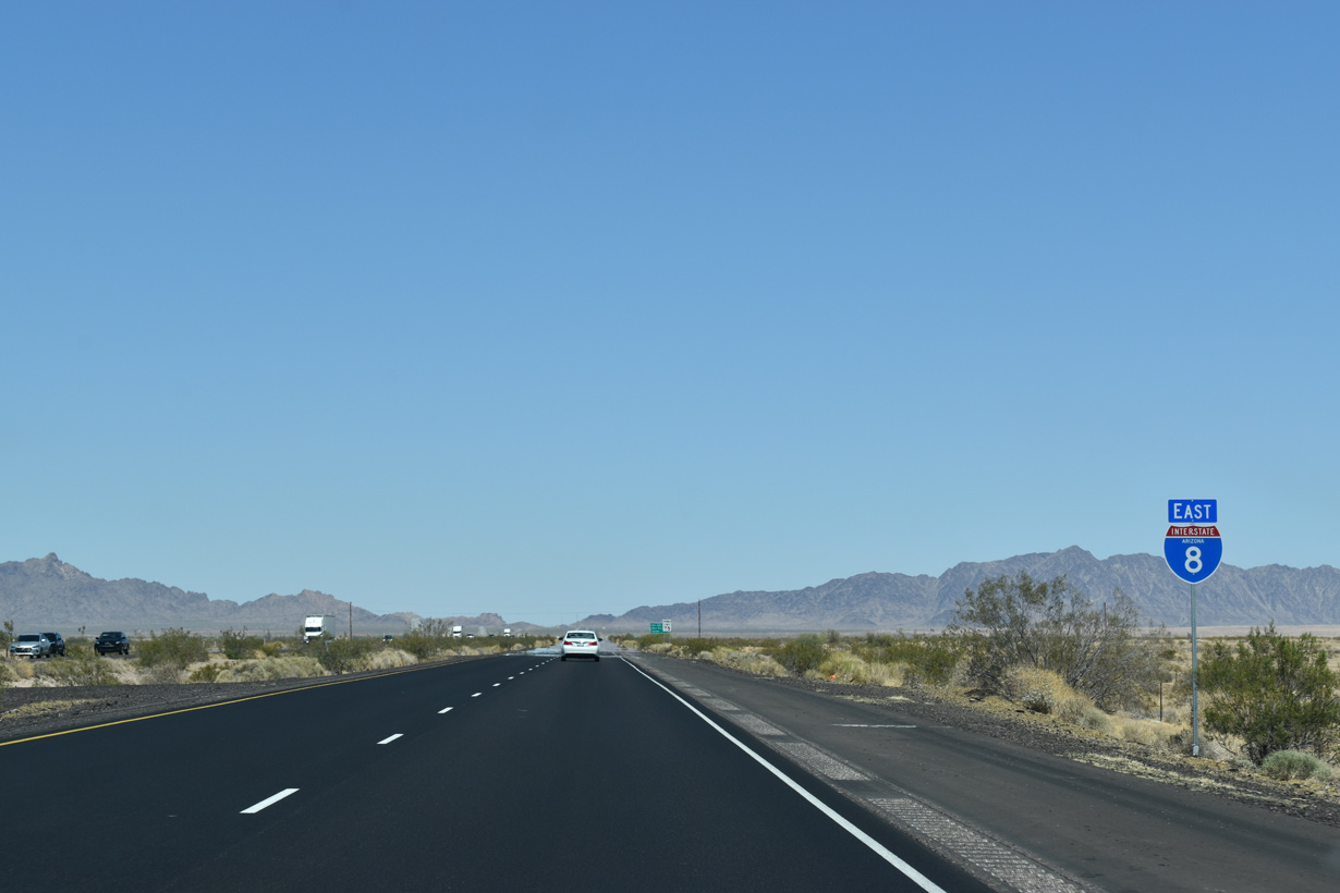
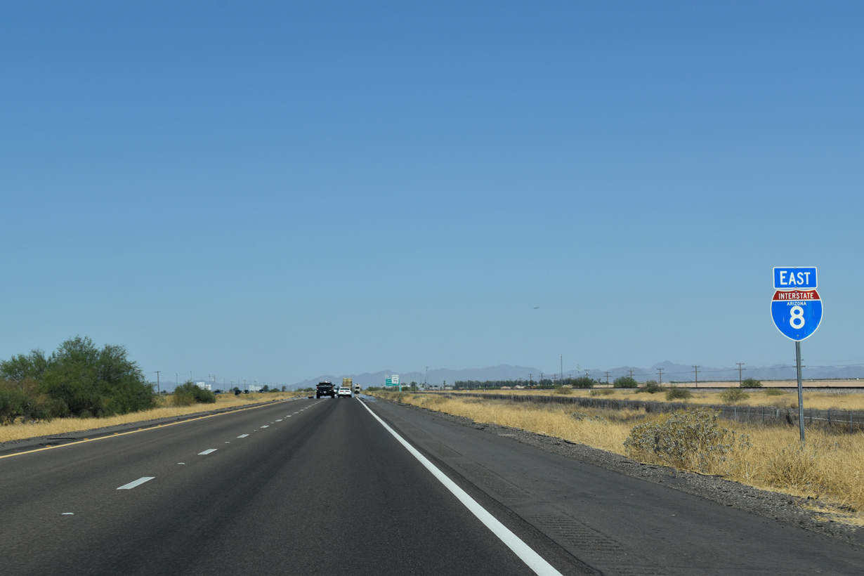
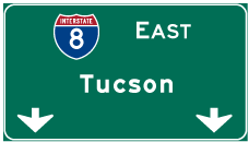
 East
East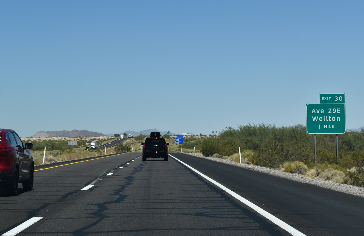
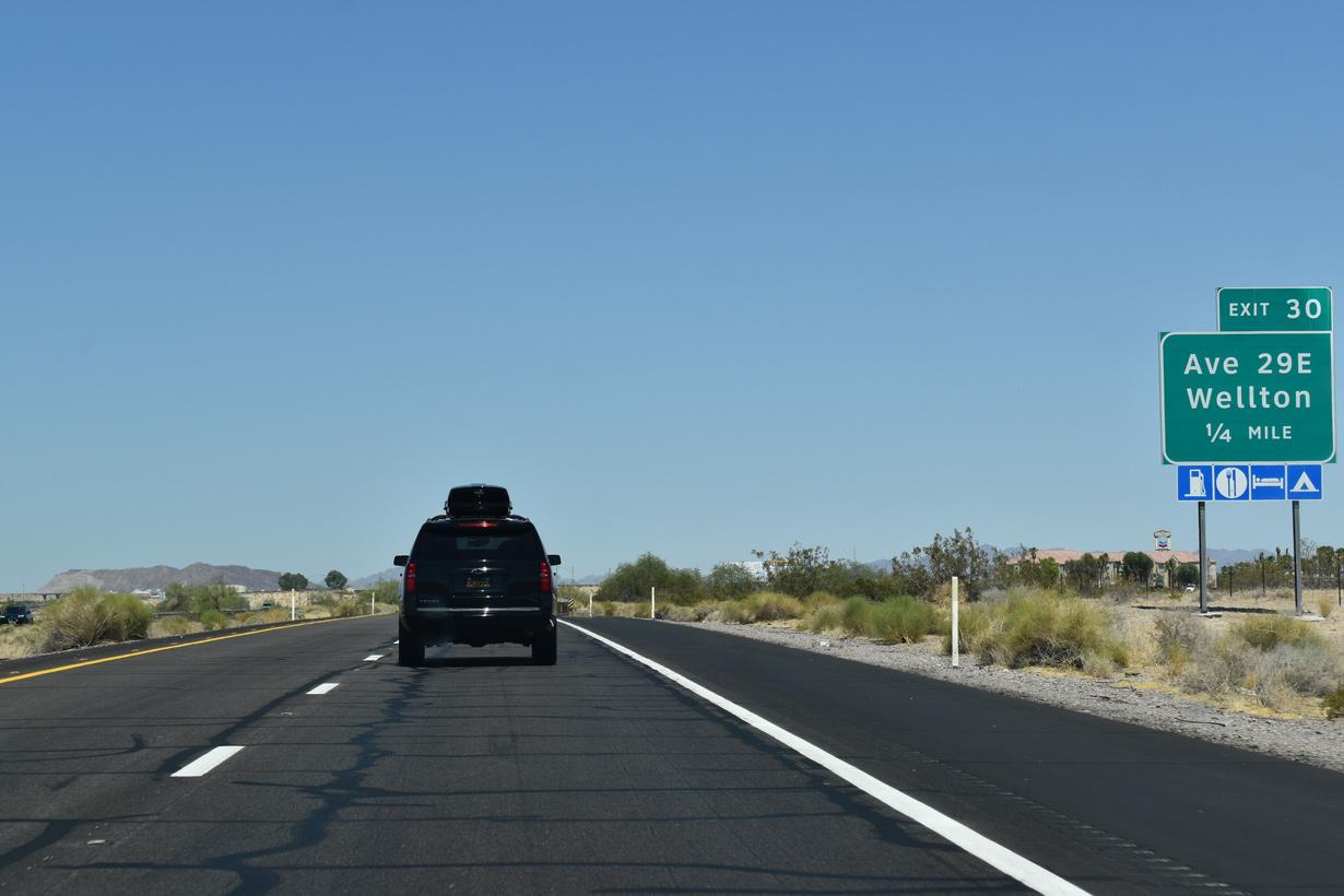
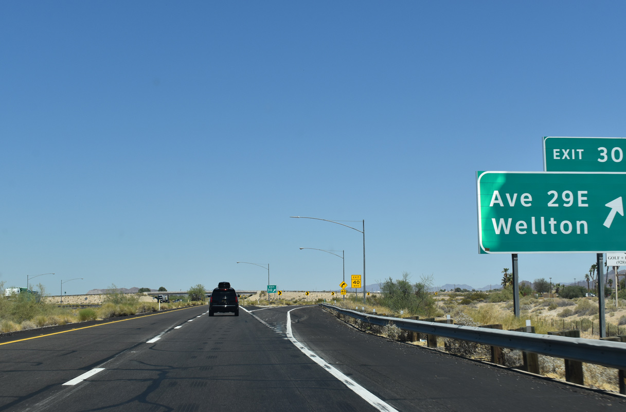
Interstate 8 enters the town of Wellton at the Avenue 25E underpass. The succeeding exit is with Avenue 29E / William Street.
05/28/21
William Street extends Avenue 29E north from I-8 to Old U.S. 80 within the Wellton street grid.
05/28/21
Located along Coyote Wash south of the Gila River, Wellton is the largest population center in the Mohawk Valley.
05/28/21
05/28/21
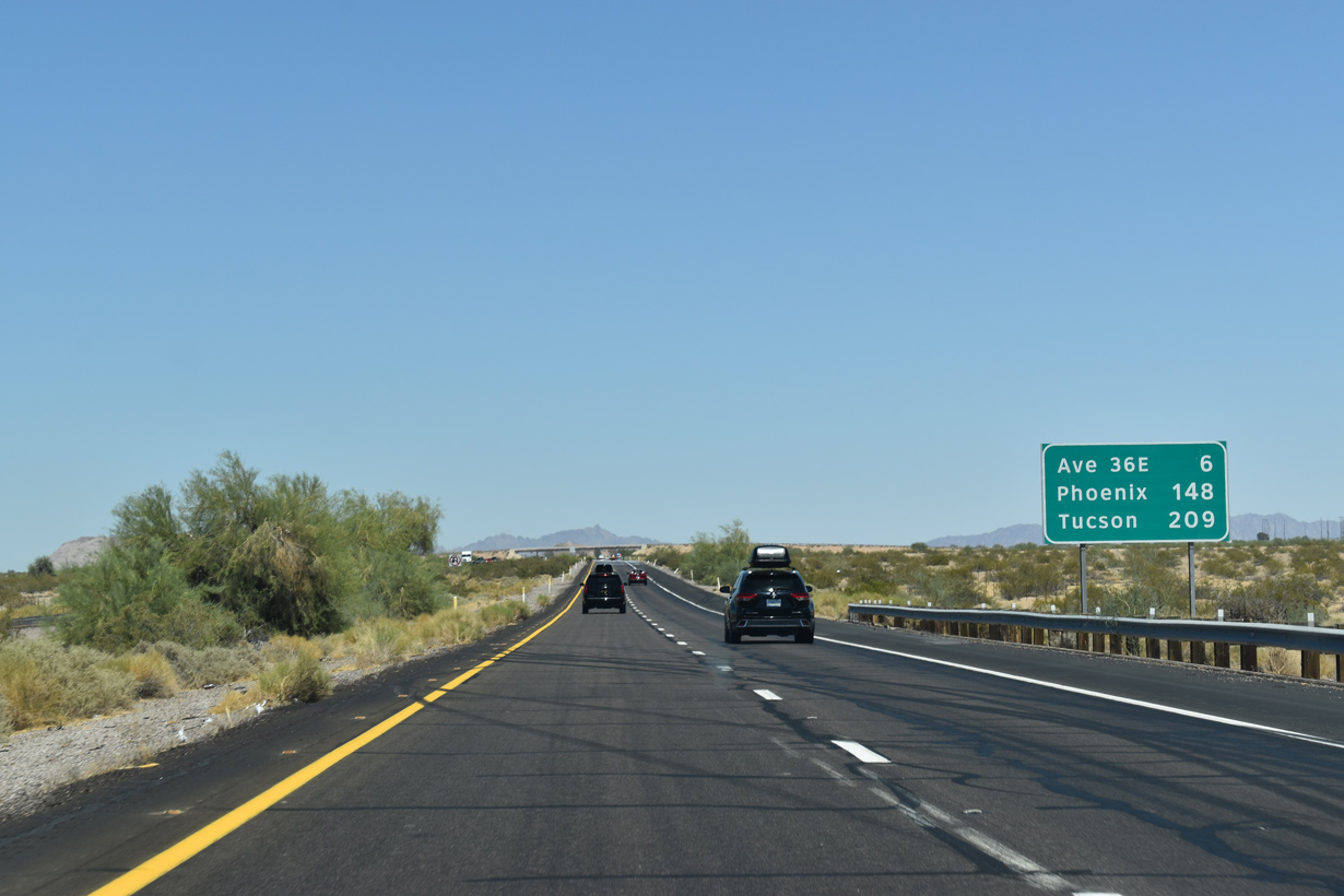
Avenue 33E spans Interstate 8, the Union Pacific Railroad and Old U.S. 80 by mile marker 35.
05/28/21
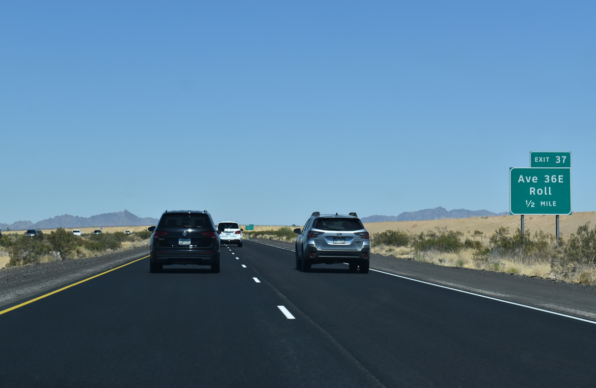
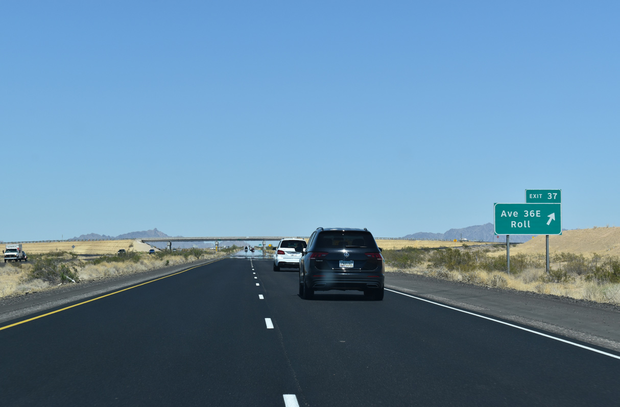
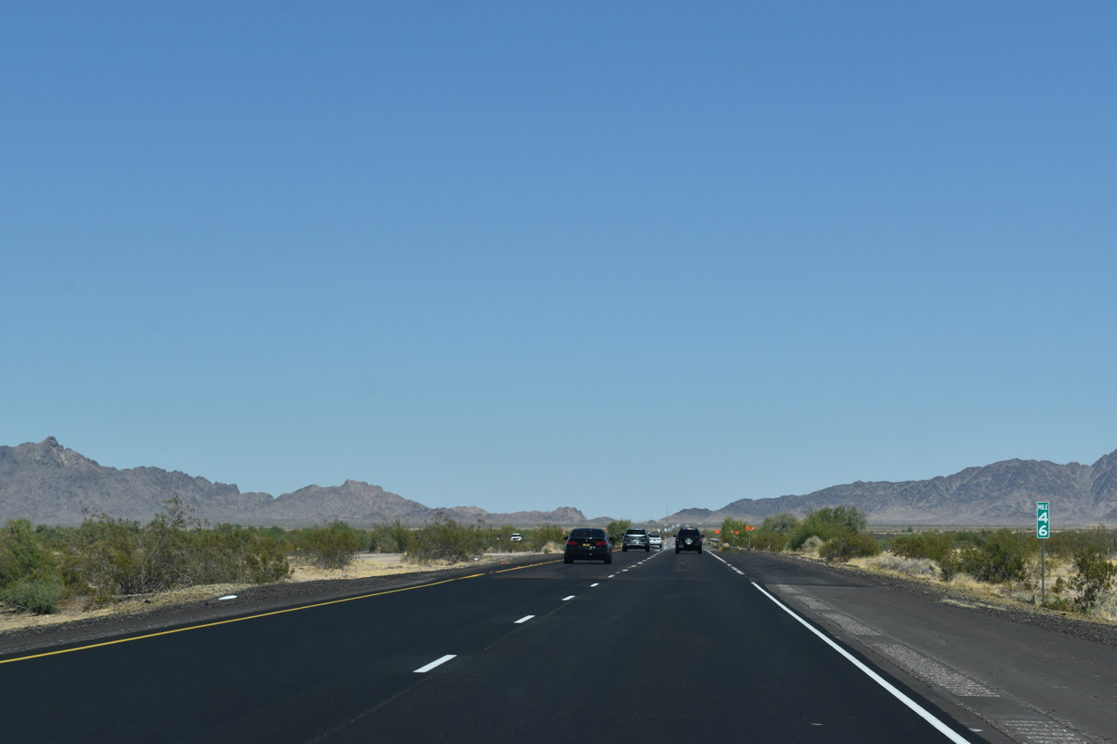
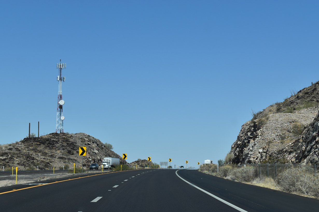
The rural community of Roll lies 6.1 miles northeast of Exit 37 within an agricultural area along the Gila River.
05/28/21
05/28/21
05/28/21
05/28/21
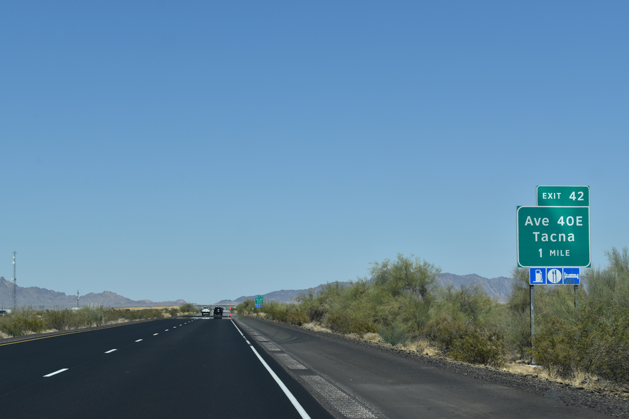
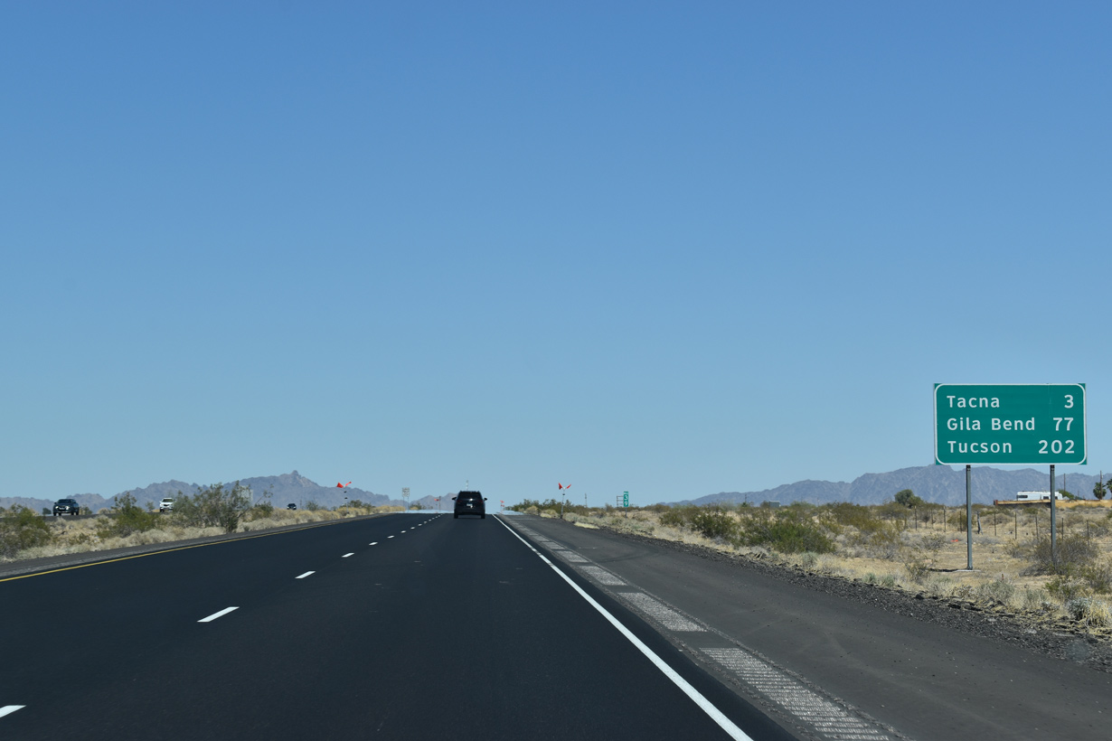
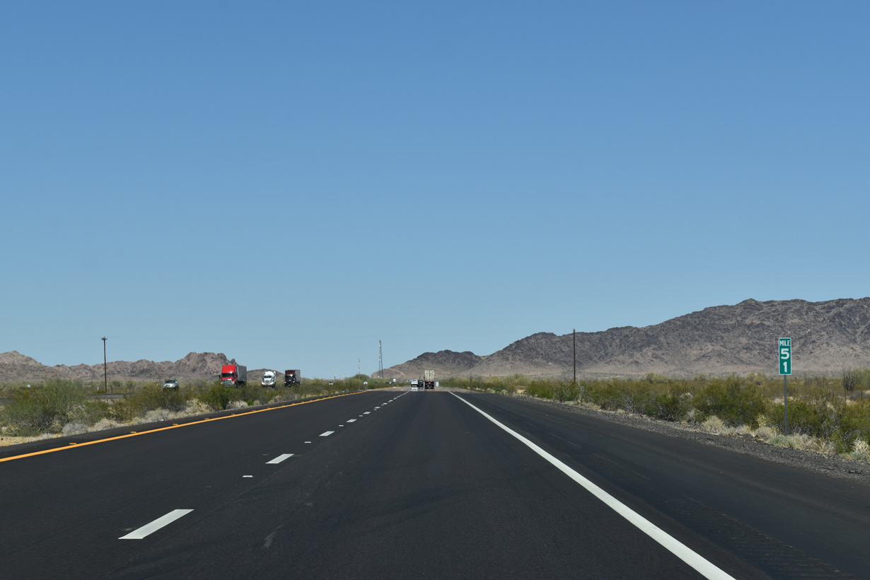
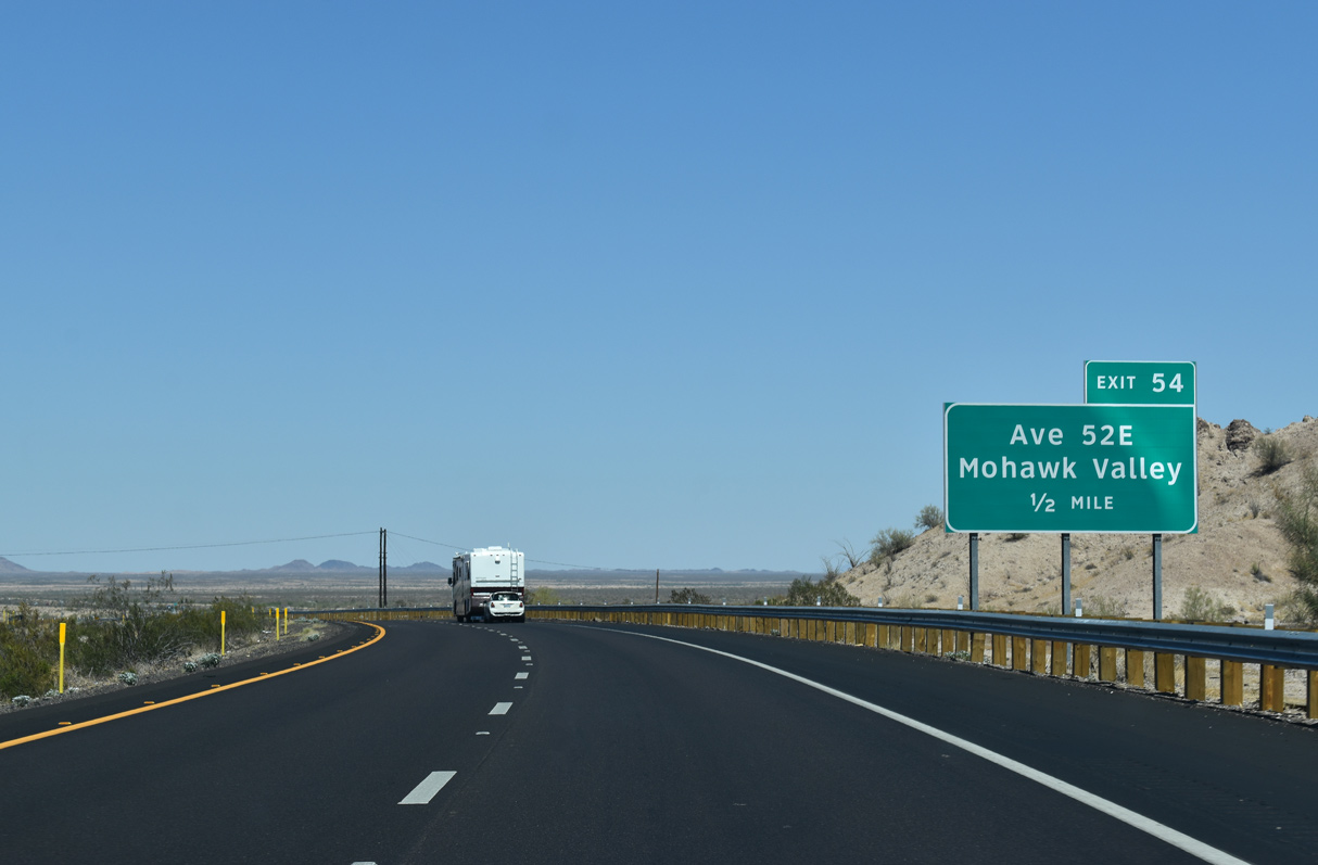
Avenue 40E links Interstate 8 with the adjacent community of Tacna along Old U.S. 80.
05/28/21
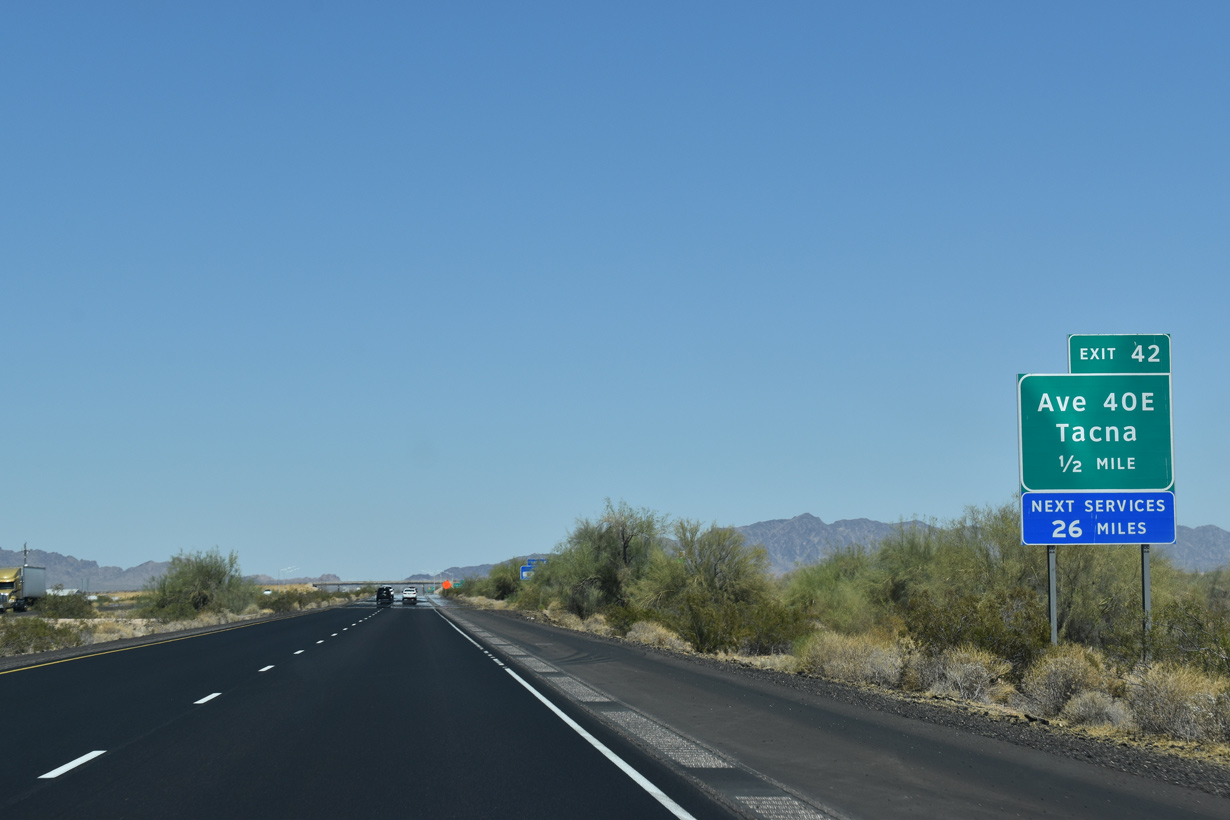
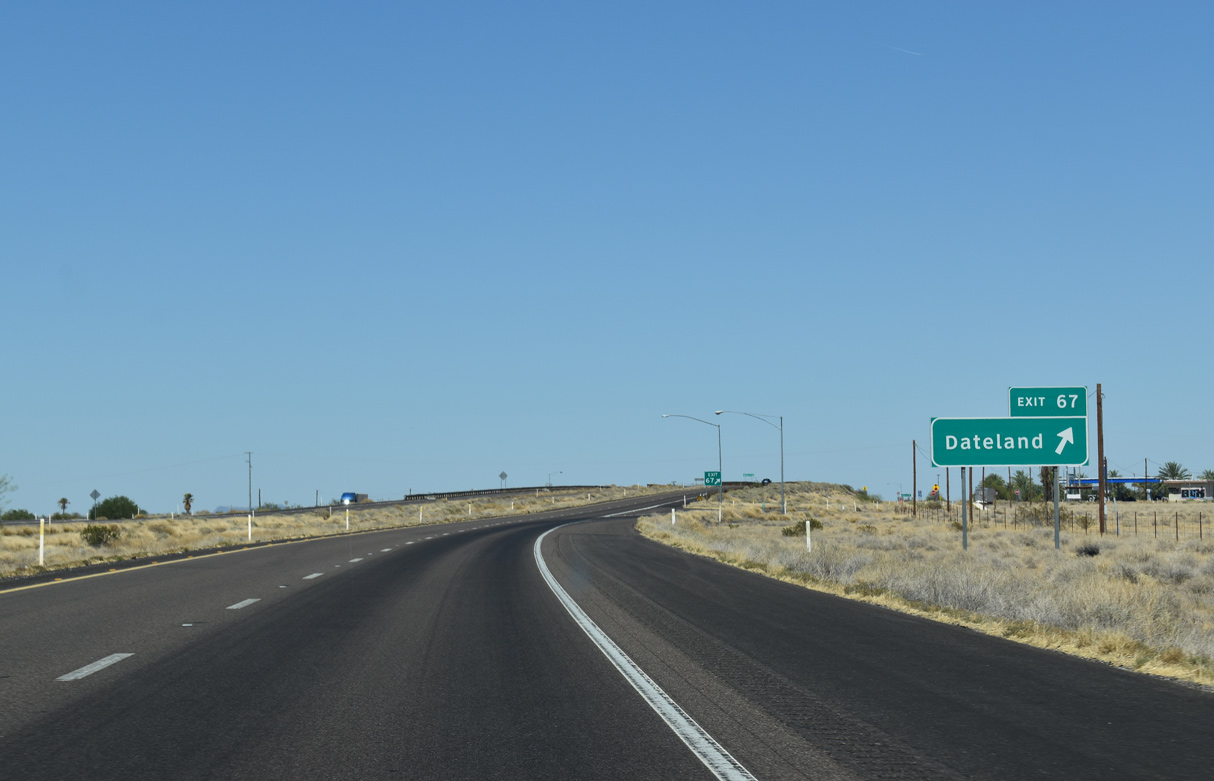
Tacna provides the last array of traveler services along Interstate 8 east until Exit 67 at Dateland.
05/28/21
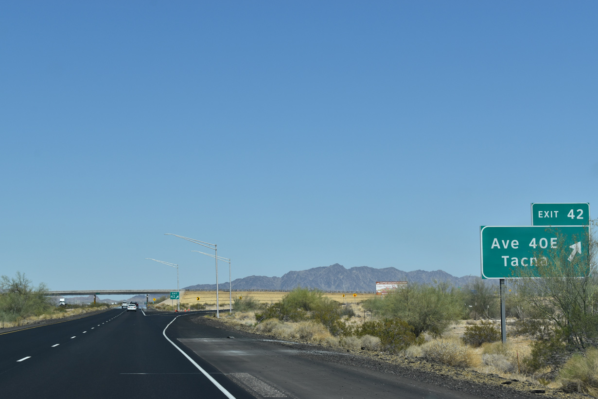
Interstate 8 east at the diamond interchange (Exit 42) with Avenue 40E.
05/28/21
05/28/21
05/28/21
05/28/21
05/28/21
05/28/21
05/28/21
05/28/21
05/28/21
05/28/21
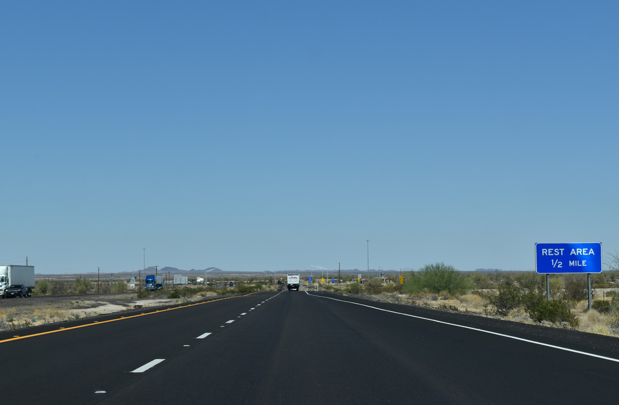
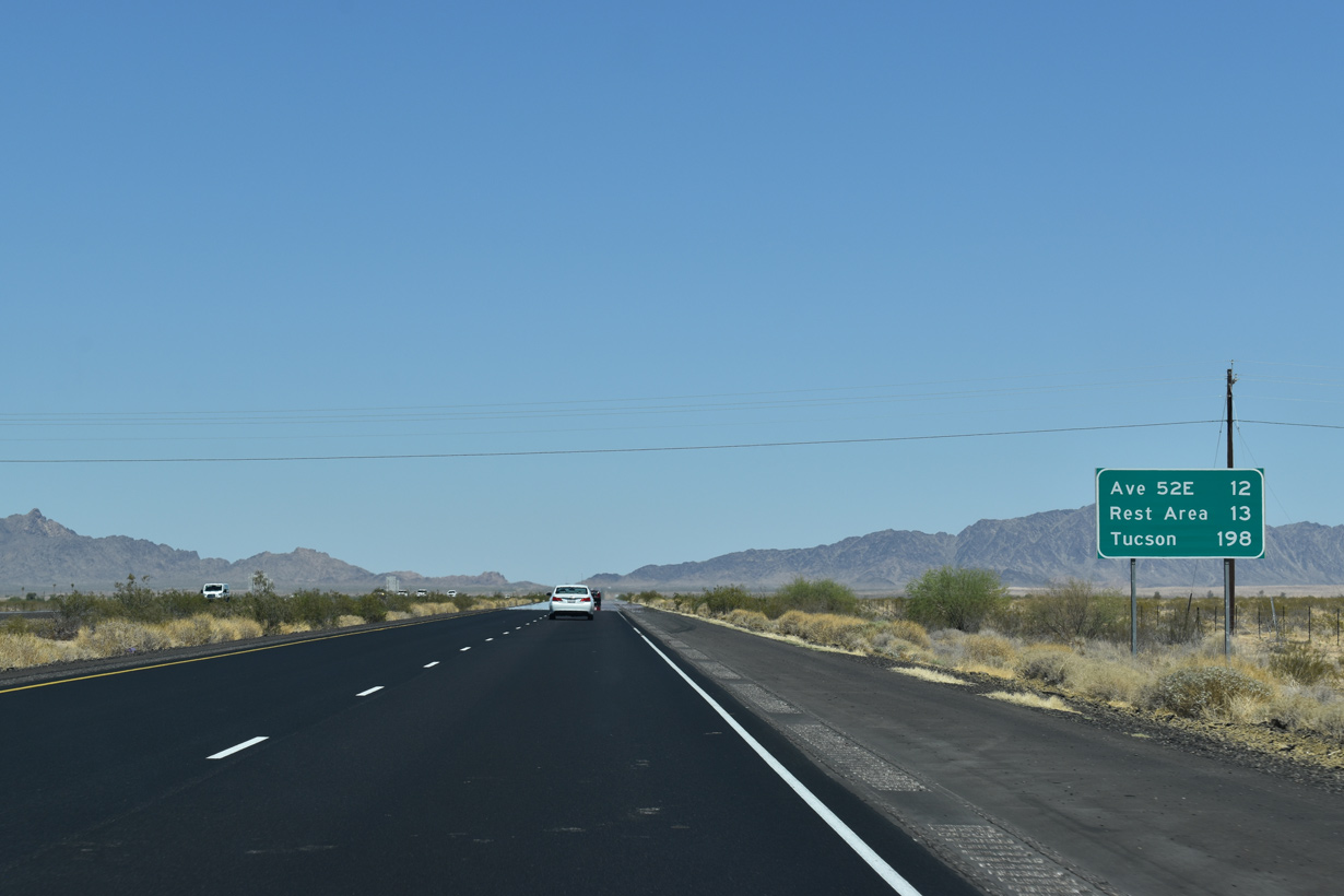
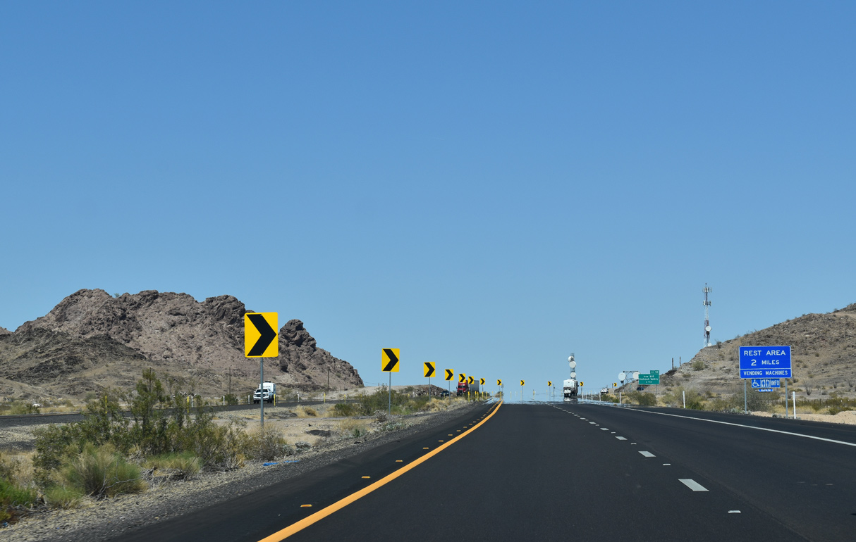
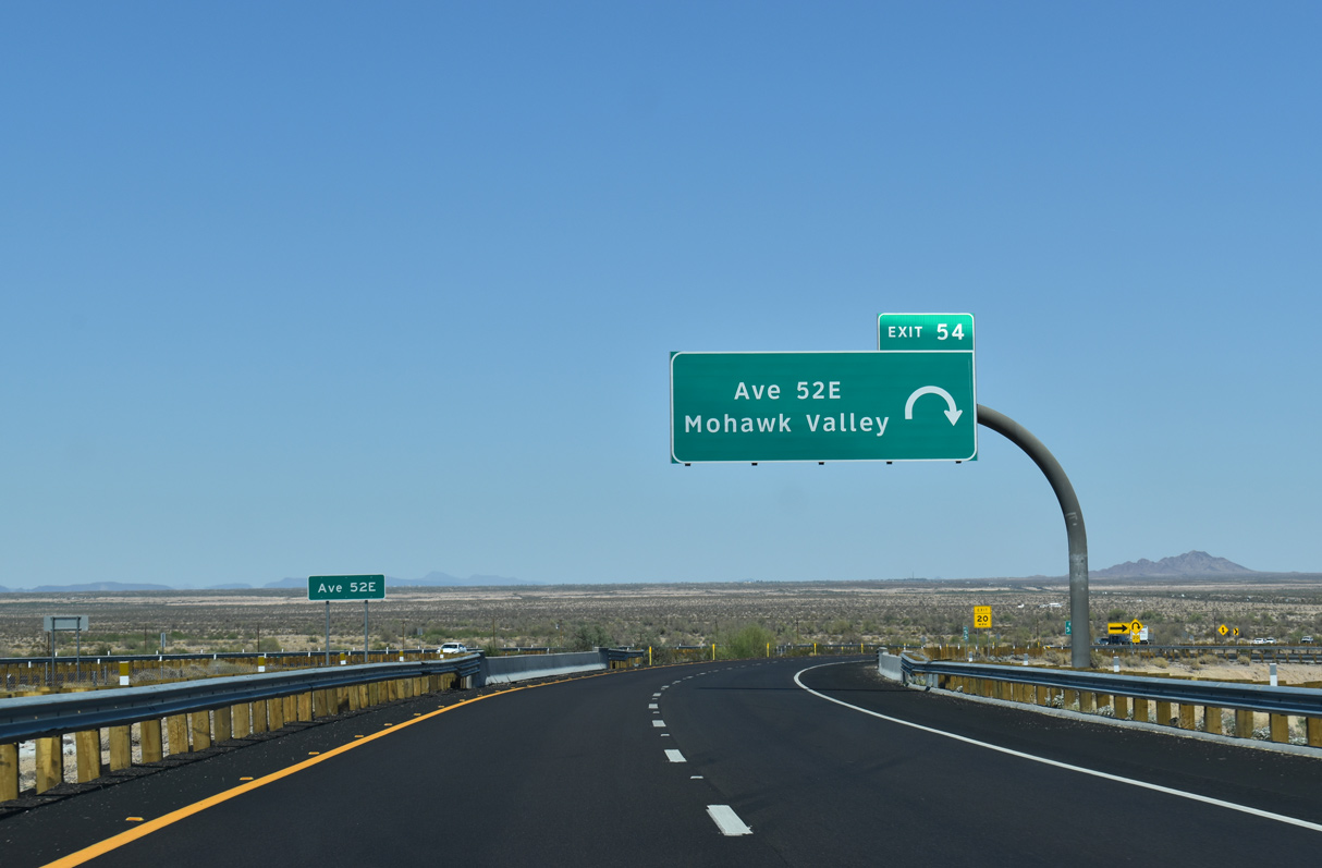
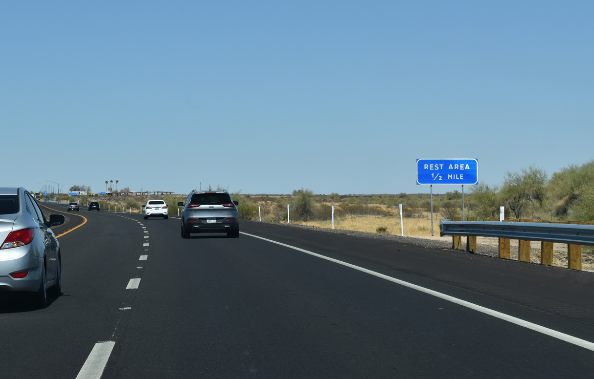
The Mohawk Rest Area is first along Interstate 8 east in Arizona. The last rest area was located in the Imperial Sand Dunes in California prior to Exit 154 for Grays Well Road.
05/28/21
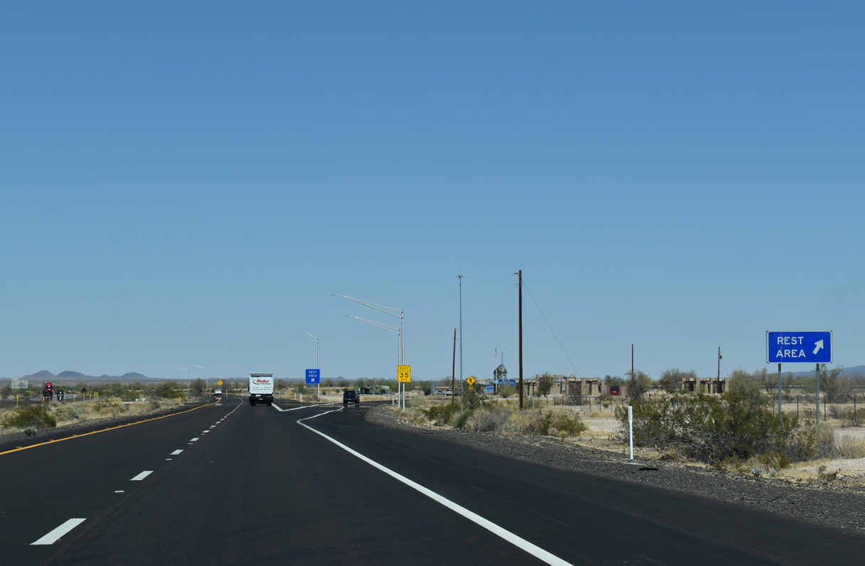
The next facility along Interstate 8 is the Sentinel Rest Area, located 28 miles east beyond Stanwix Flats.
05/28/21
05/28/21
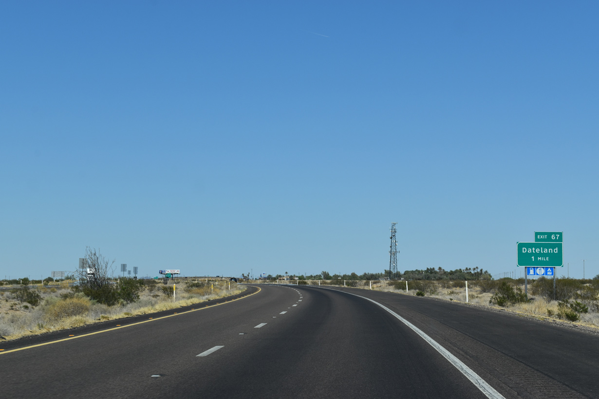
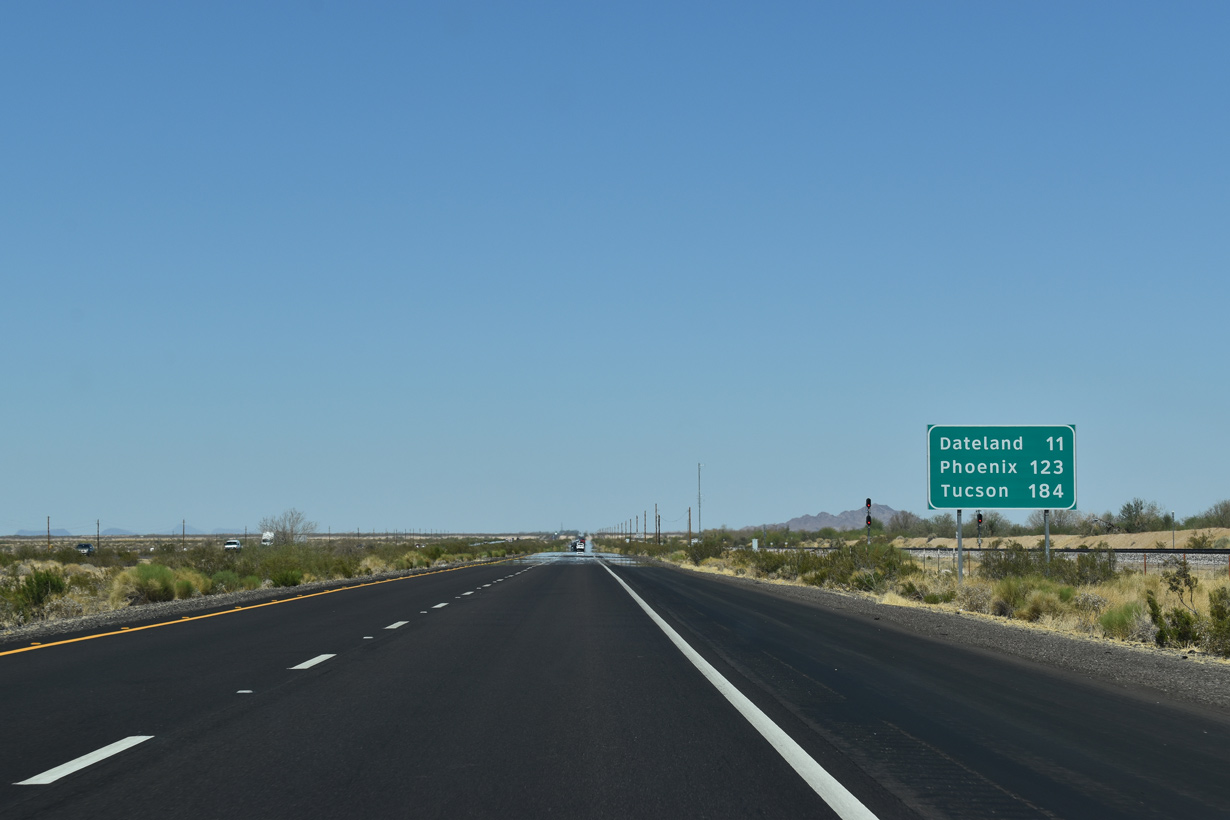
Interstate 8 bee lines northeast adjacent to the Union Pacific Railroad line to Exit 67 for Avenue 64E at Dateland.
05/28/21
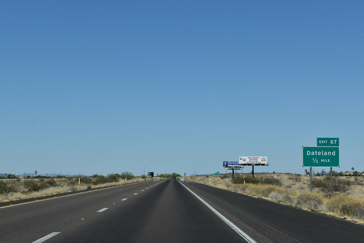
Dateland is perhaps most famous for its Medjool Dates, which are sold at the Dateland Travel Center just south of the diamond interchange at Exit 67.
05/28/21
Dateland was also one of General George S. Patton's training camps. Airstrips and related facilities from World War II are still present but are generally no longer in use. Barry M. Goldwater Air Force Range continues to the south of I-8 through Yuma and Maricopa Counties east to a point roughly equivalent to Freeman Road (Exit 140).
05/28/21
05/28/21
05/28/21
05/28/21
05/28/21
05/28/21
05/28/21
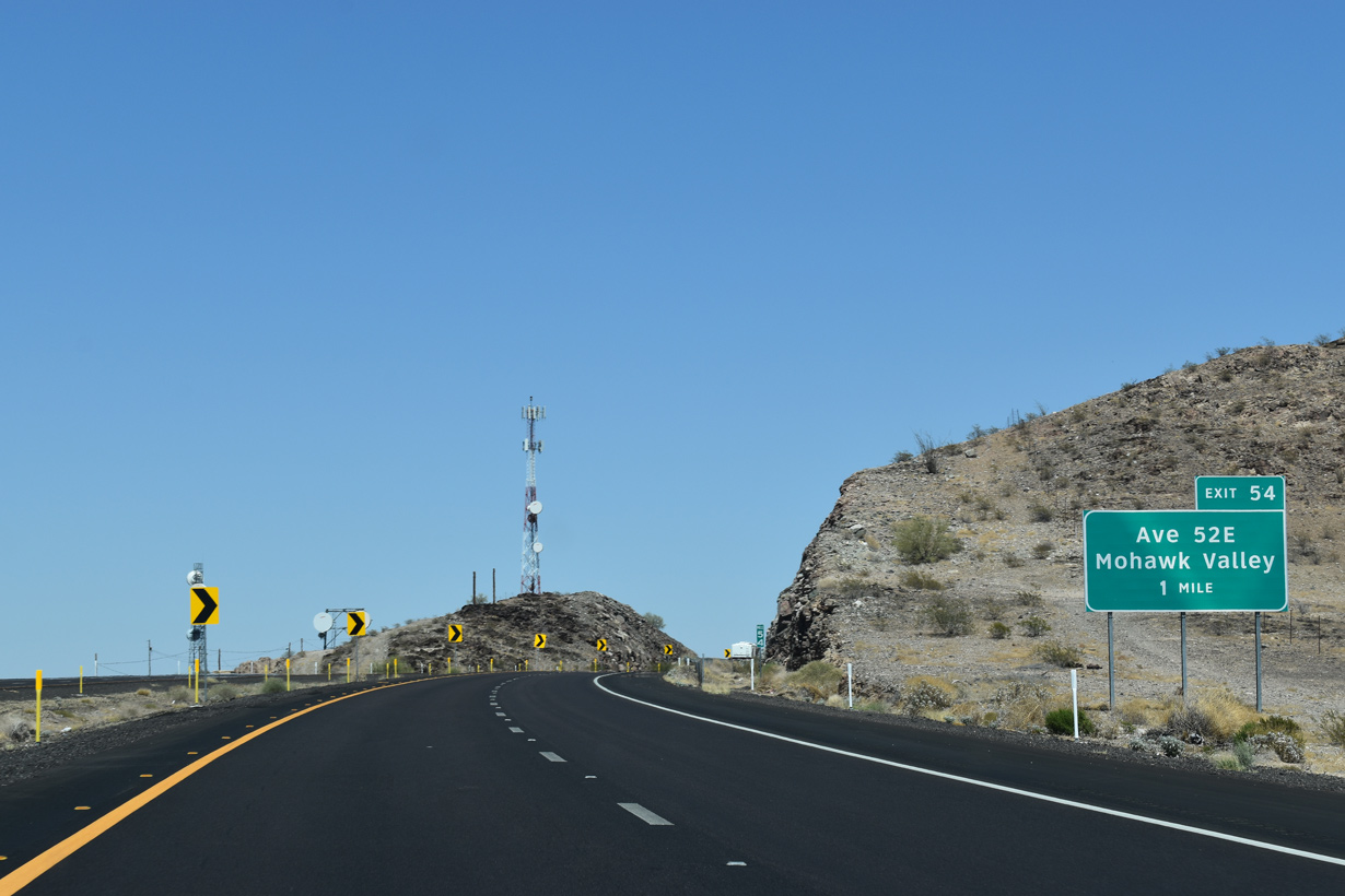
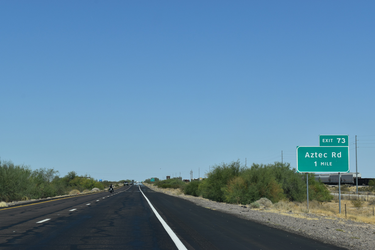
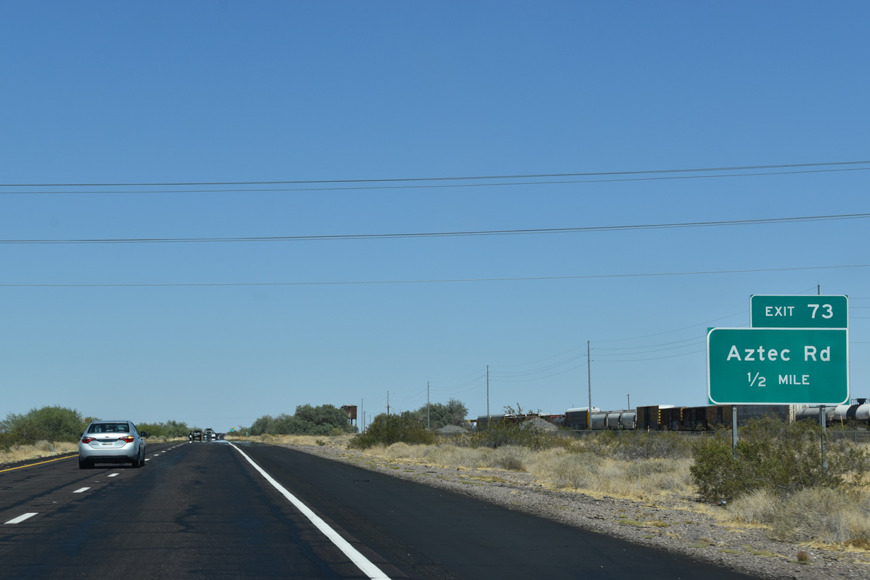
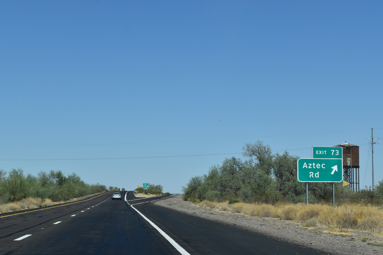
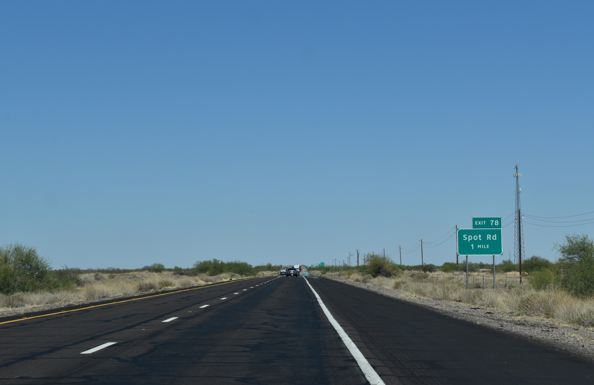
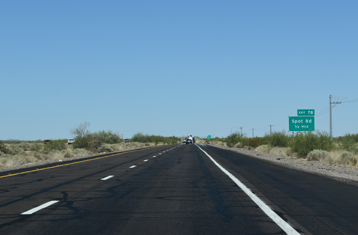
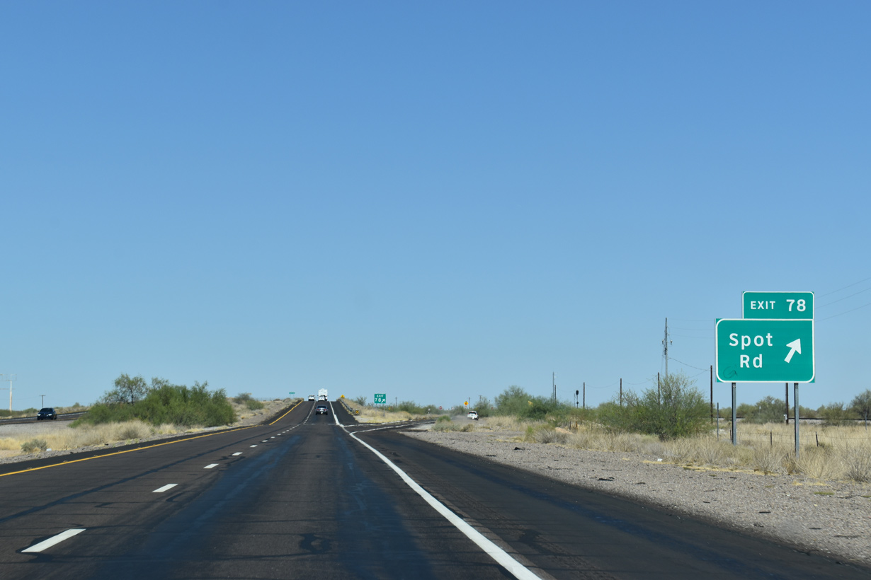
Aztec Road links Interstate 8 with Old U.S. 80 west and the north Frontage Road to Avenue 68E at Aztec.
05/31/21
05/28/21
05/28/21
05/28/21
05/28/21
05/28/21
05/28/21
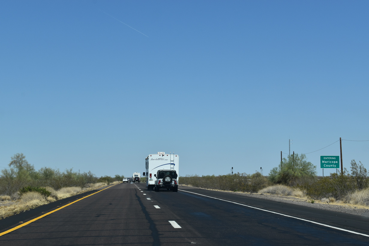
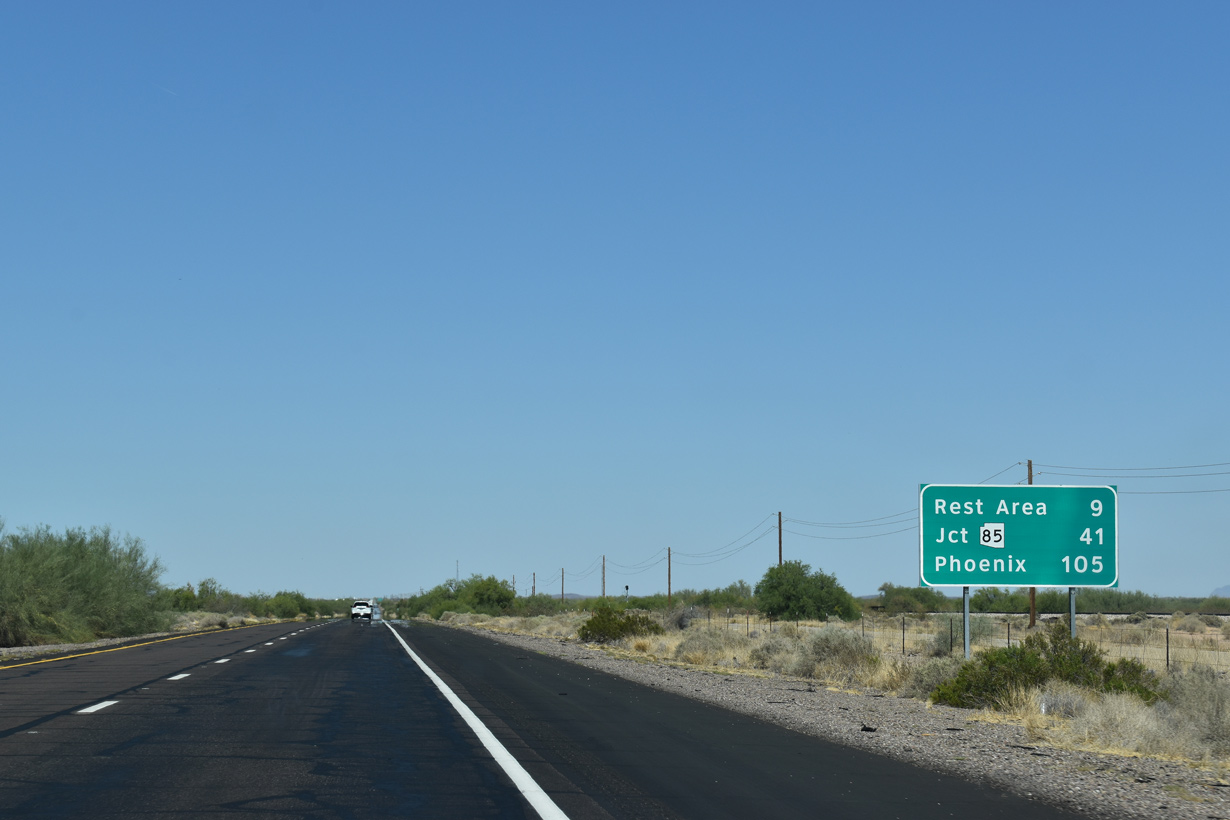
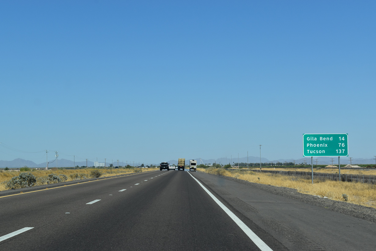
Interstate 8 enters Maricopa County south of the Stanwix Flats. The most populous in Arizona, Maricopa County extends northeast from Gila Bend to Phoenix and the Valley of the Sun.
05/28/21
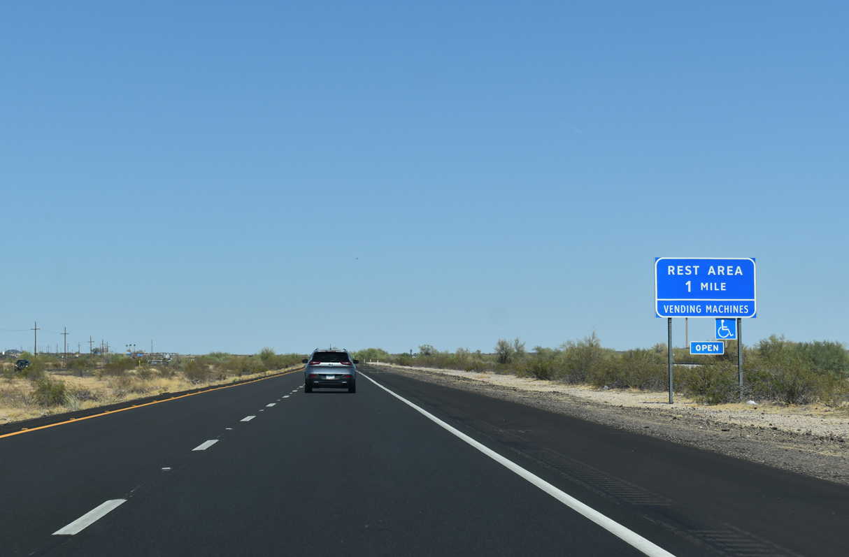
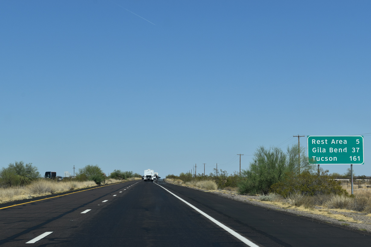
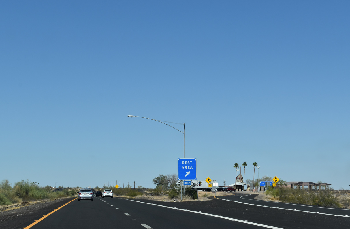
Located at mile marker 84, the Sentinel Rest Area is the last facility along Interstate 8 eastbound.
05/28/21
An additional rest area was previously located east of Gila Bend. The next facility for eastbound travelers along Interstate 10 is not until east of Benson, which is well beyond Tucson.
05/28/21
05/28/21
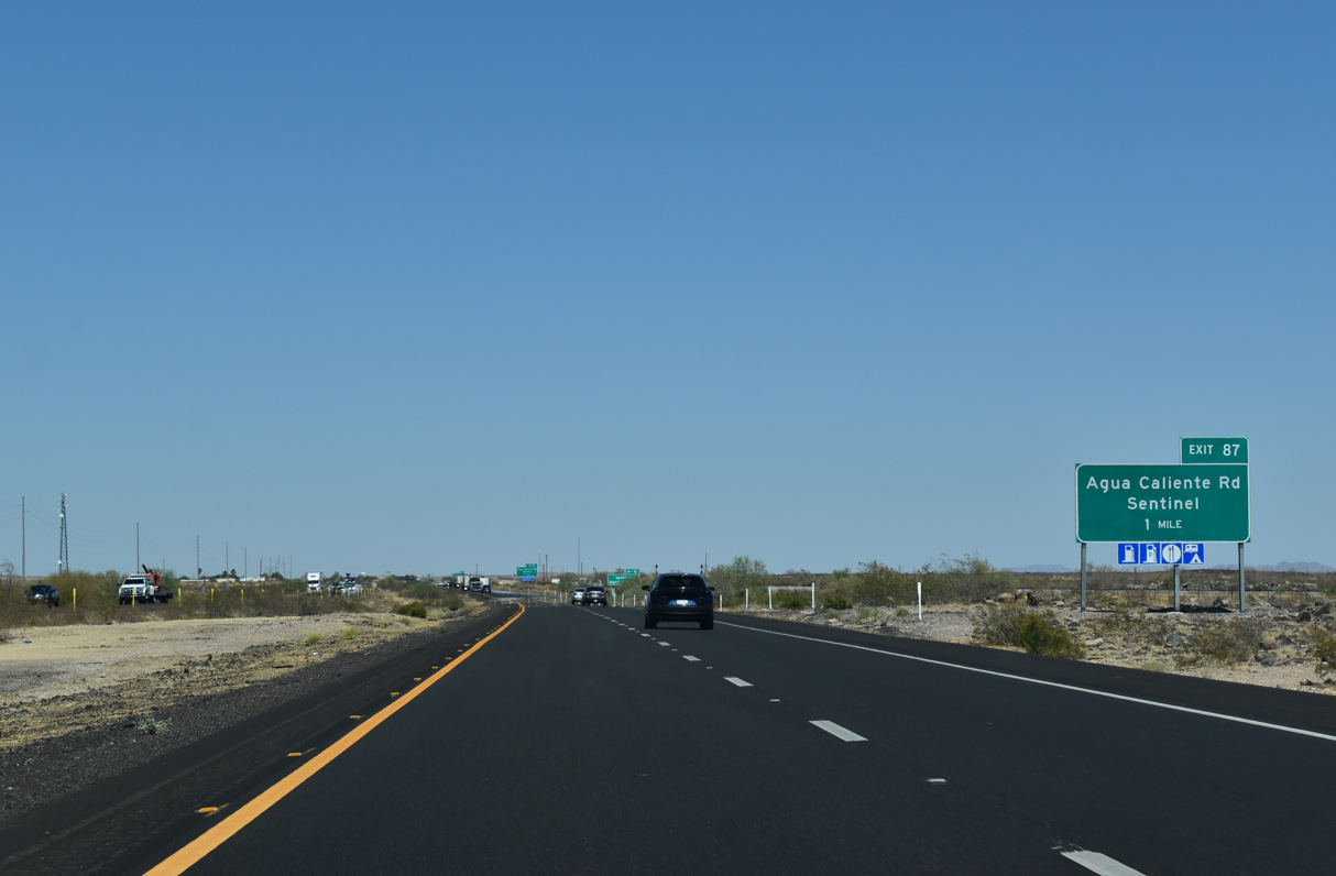
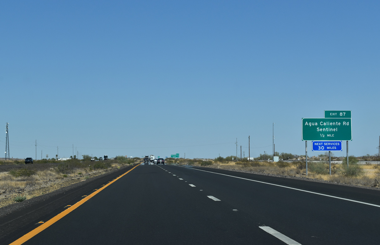
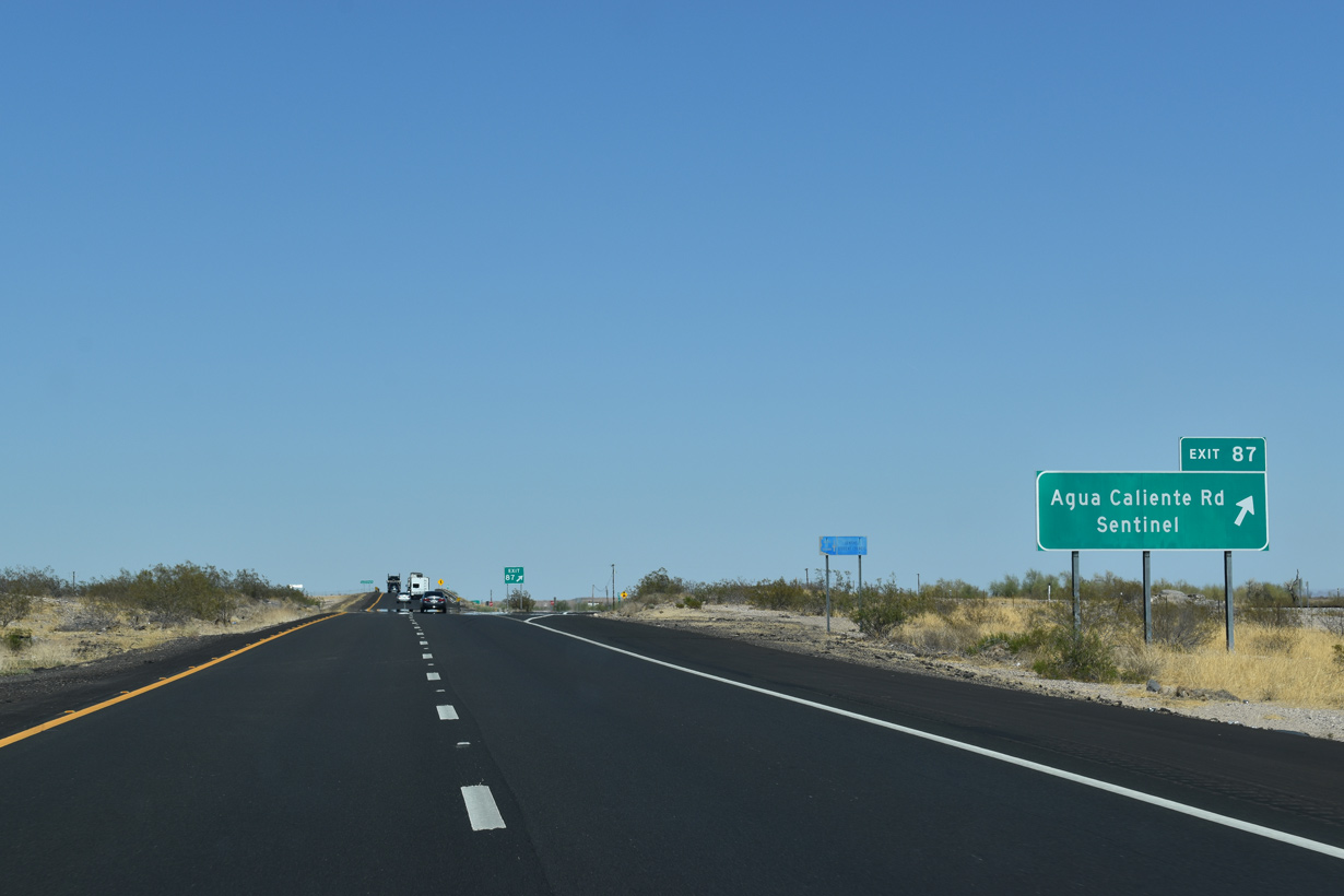
Continuing east, the succeeding exit is at Sentinel. Agua Caliente Road extends north from Interstate 8 to Agua Caliente and Hyder.
05/28/21
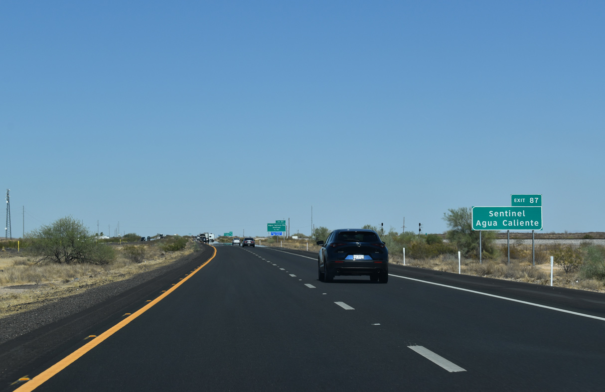
The ghost town of Hyder is 17.5 miles north of I-8 via Agua Caliente Road north and Hyder Road west. Hyder was where George S. Patton trained some of his troops during World War II. Hyder is also the site of an Amtrak train derailment caused by a terrorist incident on October 9, 1995, which resulted in one death and 78 injuries.1
05/28/21
The next traveler services along Interstate 8 beyond Sentinel are not until Gila Bend.
05/28/21
Home of a vintage era gas station and a school, Sentinel is a rural settlement located on the north side of Interstate 8 along a remaining, short extant section of Old U.S. 80.
05/28/21

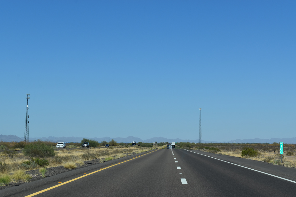
A 14.6 mile long exit less stretch ensues east from Sentinel. SR 85 to Gila Bend follows in 27 miles. The Union Pacific Railroad parallels I-8 to the south.
05/28/21
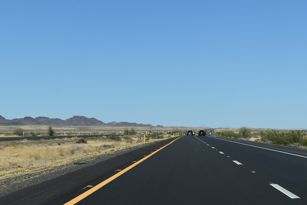
The Painted Rock Mountains rise east beyond the Sentinel Plain.
05/28/21
05/28/21
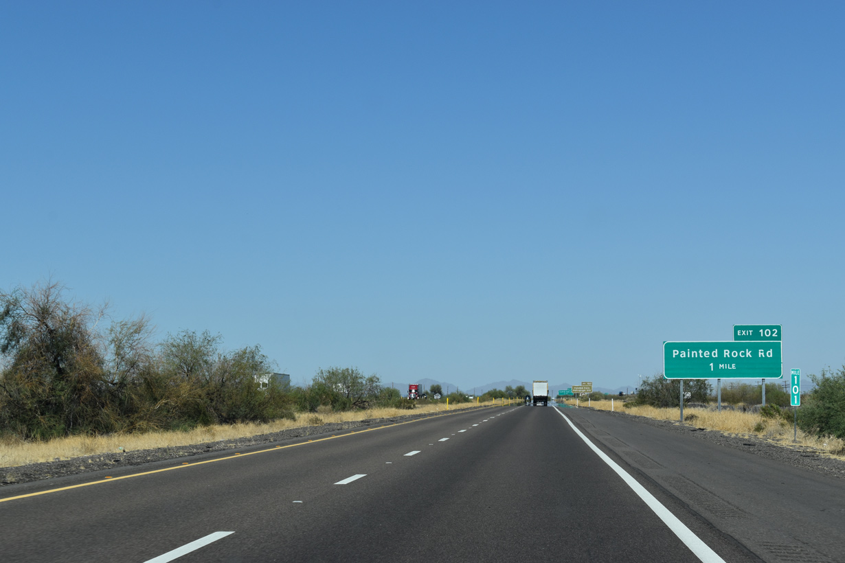
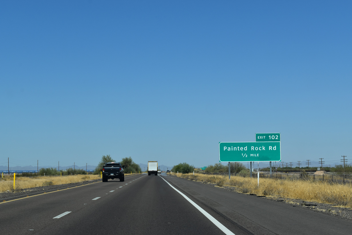
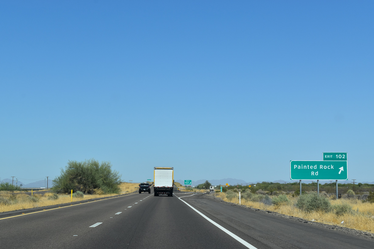
Interstate 8 heads east by the UP Railroad siding of Piedra to the diamond interchange (Exit 102) with Painted Rock Dam Road north.
05/28/21
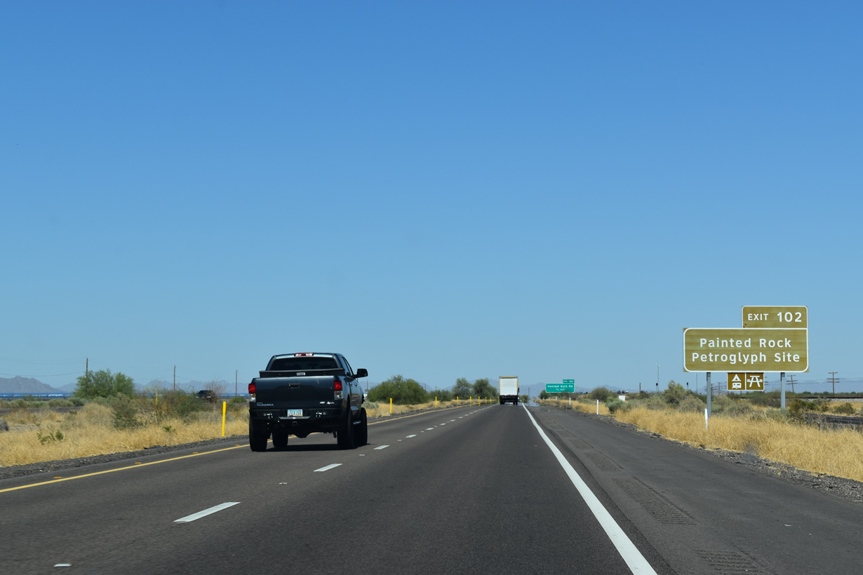
Painted Rock Road travels 11 miles north to the Painted Rock Petroglyph Site, which offers camping, hiking and picnicking.
05/28/21
Painted Rock Dam Road leads 17 miles north to Painted Rock Dam on the Gila River,
05/28/21
Exit 102 serves the Atlantic Solana Generating Station, a large array of solar panels along the north side of Interstate 8.
05/28/21
05/28/21
Replaced by Phoenix, a previous distance sign posted east of Exit 102 displayed Rest Area for the closed facility east of Gila Bend.
05/28/21
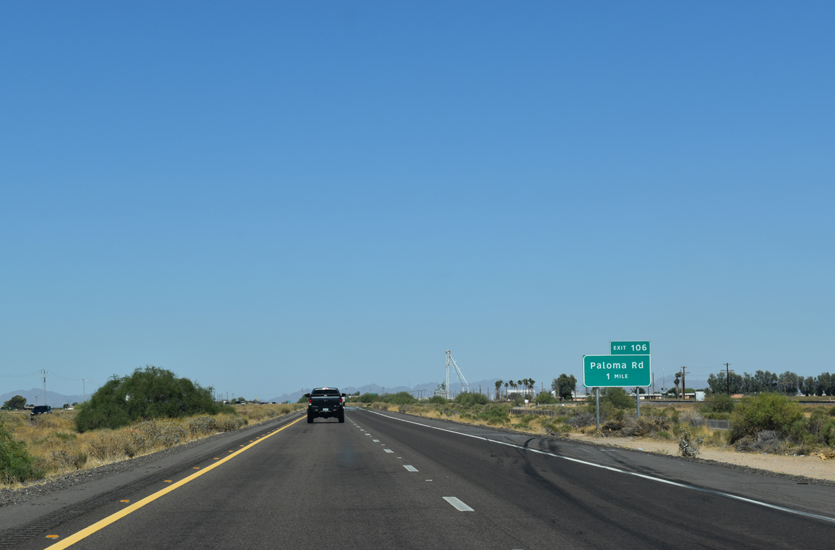
The next exit on eastbound Interstate 8 is for Paloma Road at the rural settlement of Theba.
05/28/21
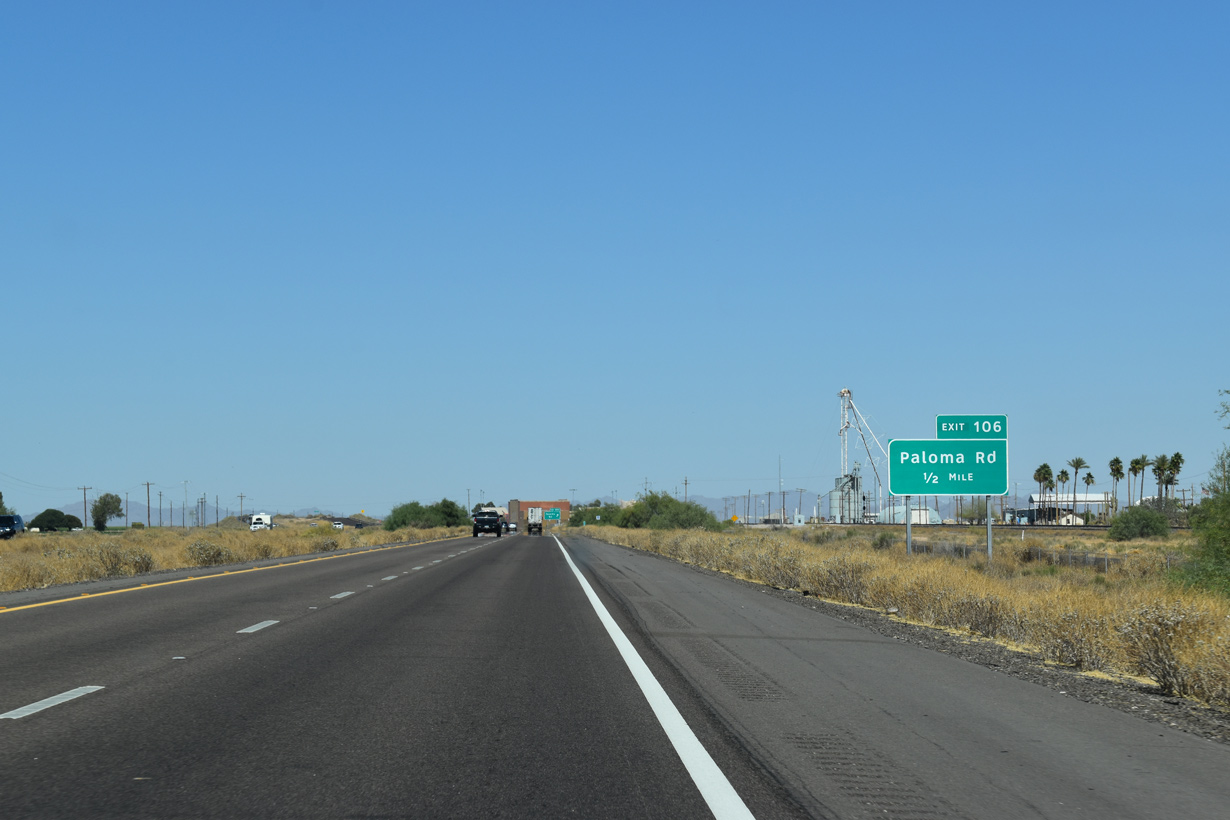
There are no services at the diamond interchange (Exit 106) with Paloma Road.
05/28/21
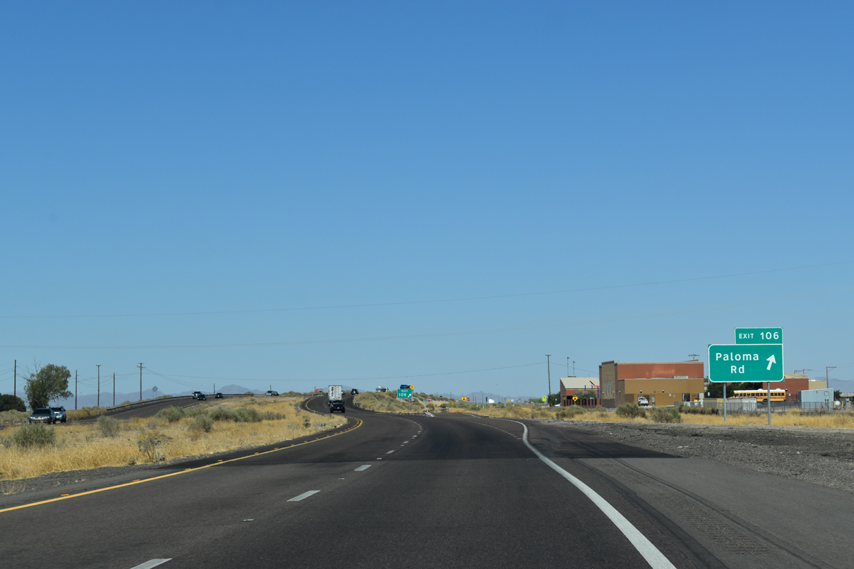
Exit 106 leaves Interstate 8 east for Paloma Road and Old U.S. 80 along the south Frontage Road.
05/28/21
05/28/21
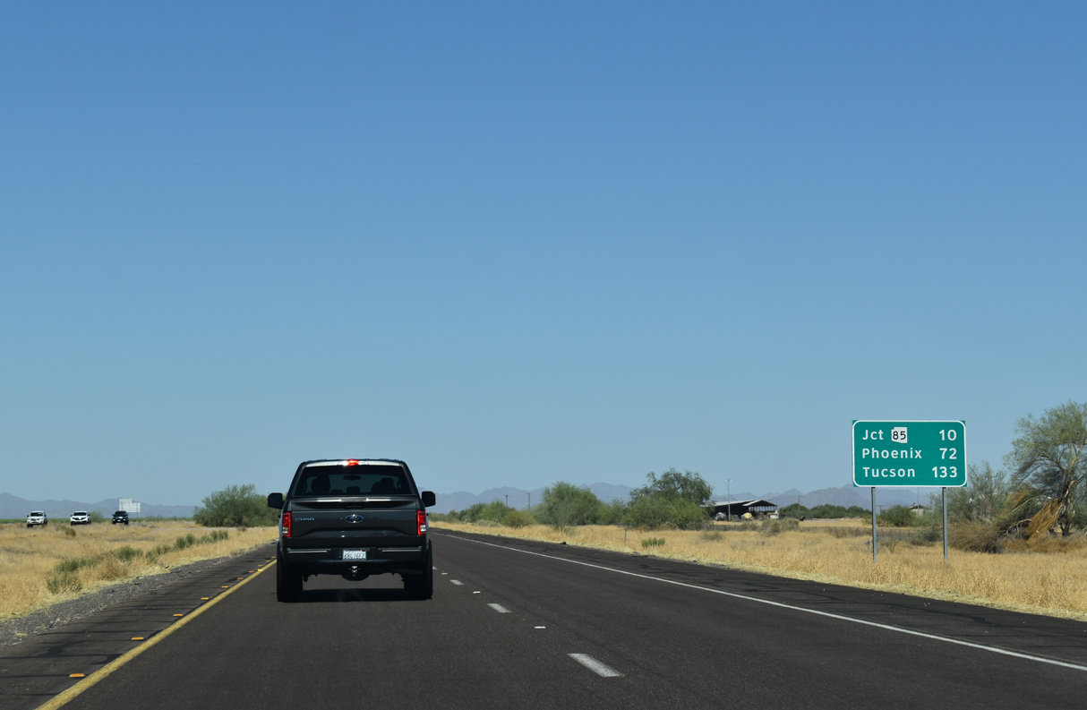
Tucson is 133 miles east of Theba via I-8 and I-10.
05/28/21
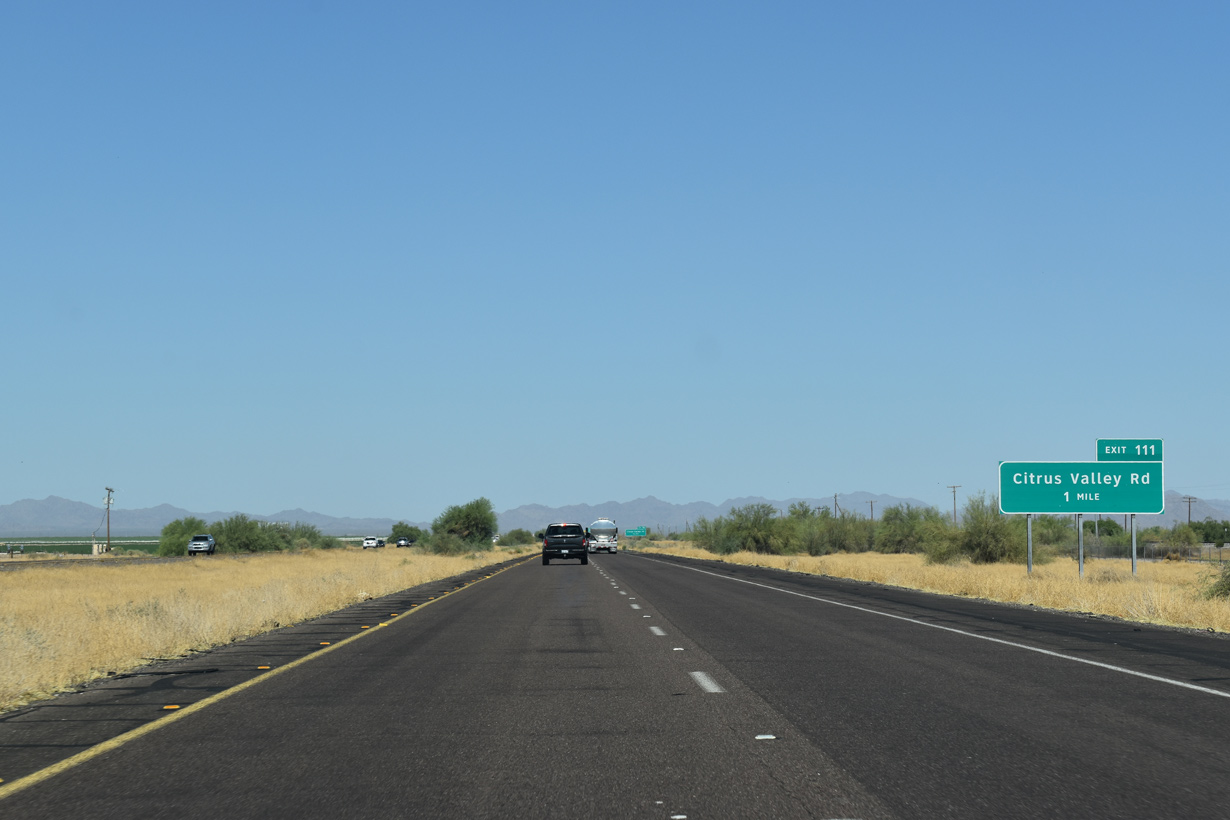
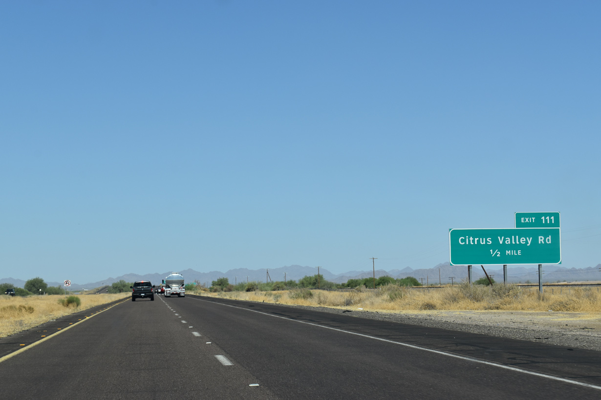
Citrus Valley Road ties into Interstate 8 at Exit 111 east of the UP Railroad siding of Smurr.
05/28/21
Citrus Valley Road heads north to Citrus Valley within Gila Bend Indian Reservation.
05/28/21
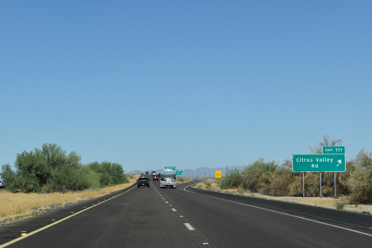
Exit 111 serves several area dairy farms along Citrus Valley Road and Old U.S. 80 (Frontage Road).
05/28/21
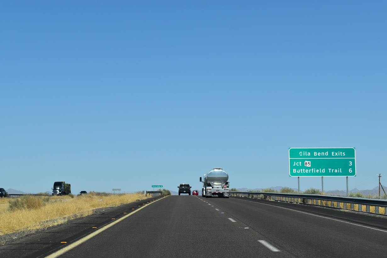
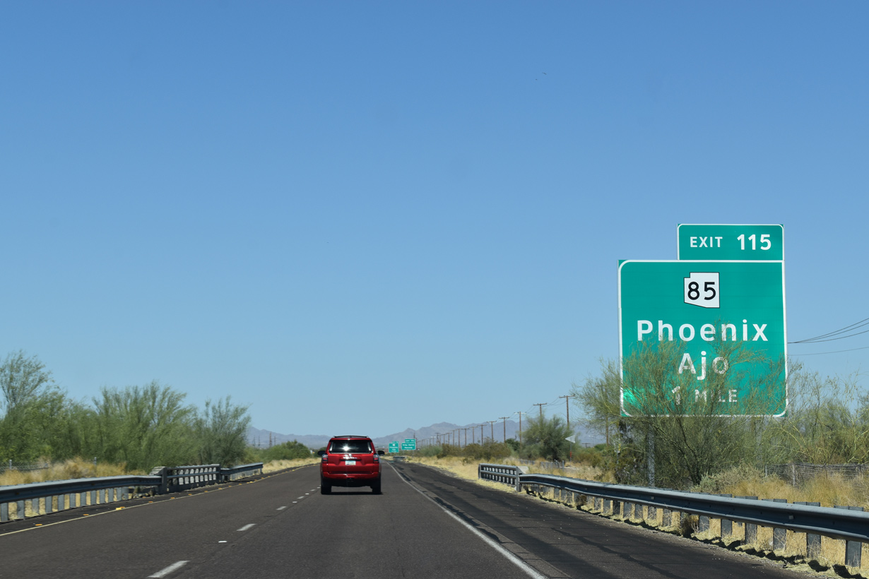
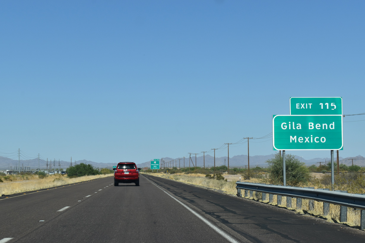
Two exits serve Gila Bend, the Crossroads of the Southwest, from Interstate 8 east over the succeeding six miles.
05/28/21
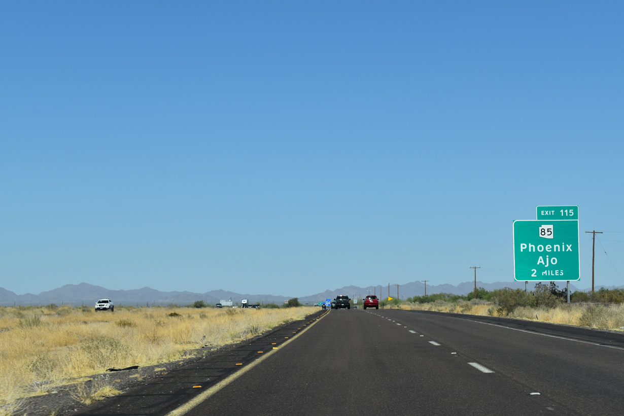
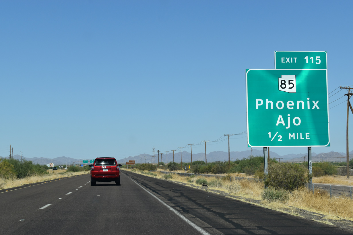
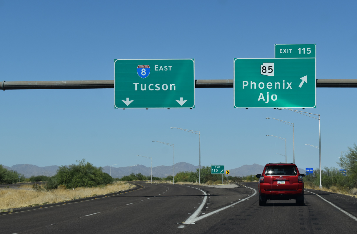
The southern branch of SR 85 ties into Business Loop I-8 (Pima Street) just east of the wye interchange at Exit 115.
05/28/21
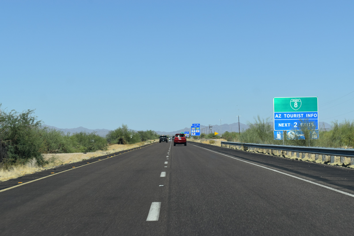
Business Loop I-8 through Gila Bend runs 5.96 miles between Exit 115 and 119 along old U.S. 80 (Pima Street) and Butterfield Trail (old SR 84).
05/28/21
The northern leg of SR 85 connects Business Loop I-8 and Gila Bend with Interstate 10 at Buckeye and the western Phoenix suburbs.
05/28/21
SR 85 south travels 32.15 miles to Ajo, Why and Organ Pipe National Monument en route to Lukeville, where it connects with Mexico Federal Route 8 at Sonoyta, Sonora, Mexico.
05/28/21
Old U.S. 80 leaves the I-8 corridor at Gila Bend. Following the Gila River, the historic alignment of U.S. 80 stays west of SR 85, northward to Buckeye and Phoenix.
05/28/21
SR 85 along with I-8 east forms part of the long distance truck bypass around Phoenix for Interstate 10. SR 85 is a mostly four lane highway between Gila Bend and I-10 in the west Phoenix metropolitan area.
05/28/21
Sources:
- Domestic Terrorism Strikes AMTRAK by Paul Anderson.
http://www.emergency.com/ azdrail.htmEmergencyNet NEWS Service, Emergency Response & Research Institute, October 9, 1995.
Photo Credits:
05/28/21, 05/31/21 by AARoads
Connect with:
Business Loop I-8 - Gila Bend
State Route 85
Page Updated 04-28-2022.