
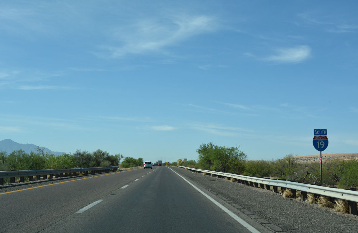
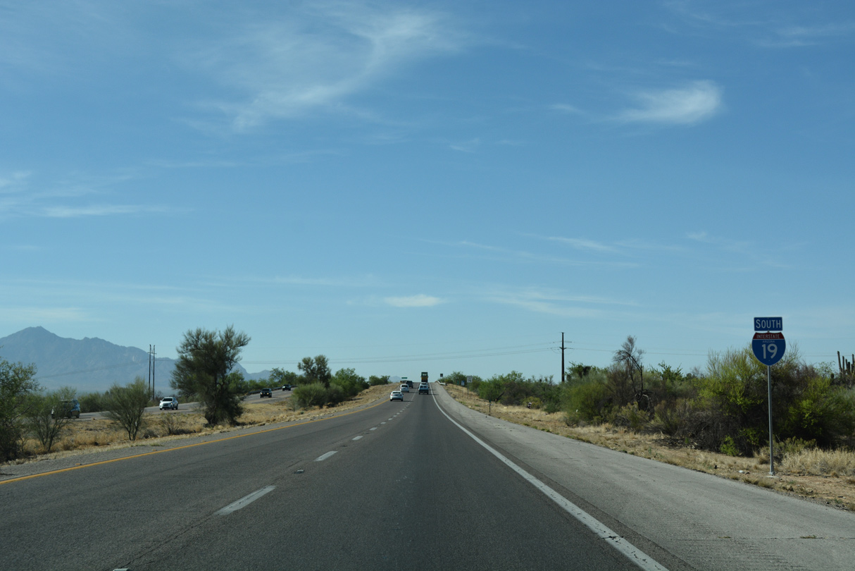
 South
South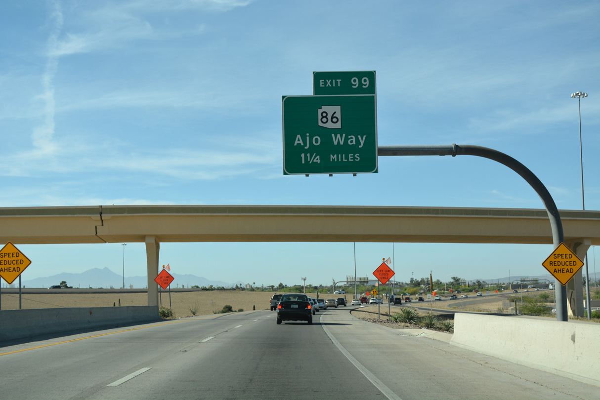
04/26/17
04/26/17
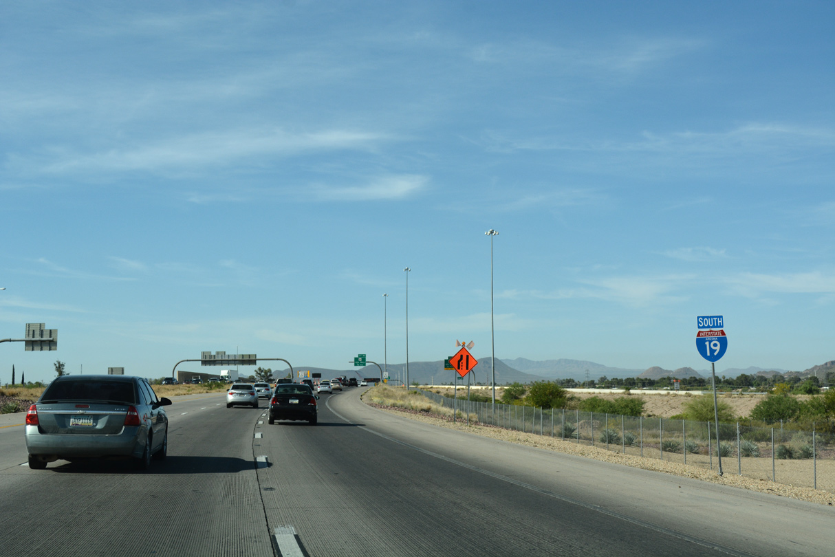
The flyover from I-10 west to I-19 south joins the freeway just beyond Julian Wash.
04/26/17

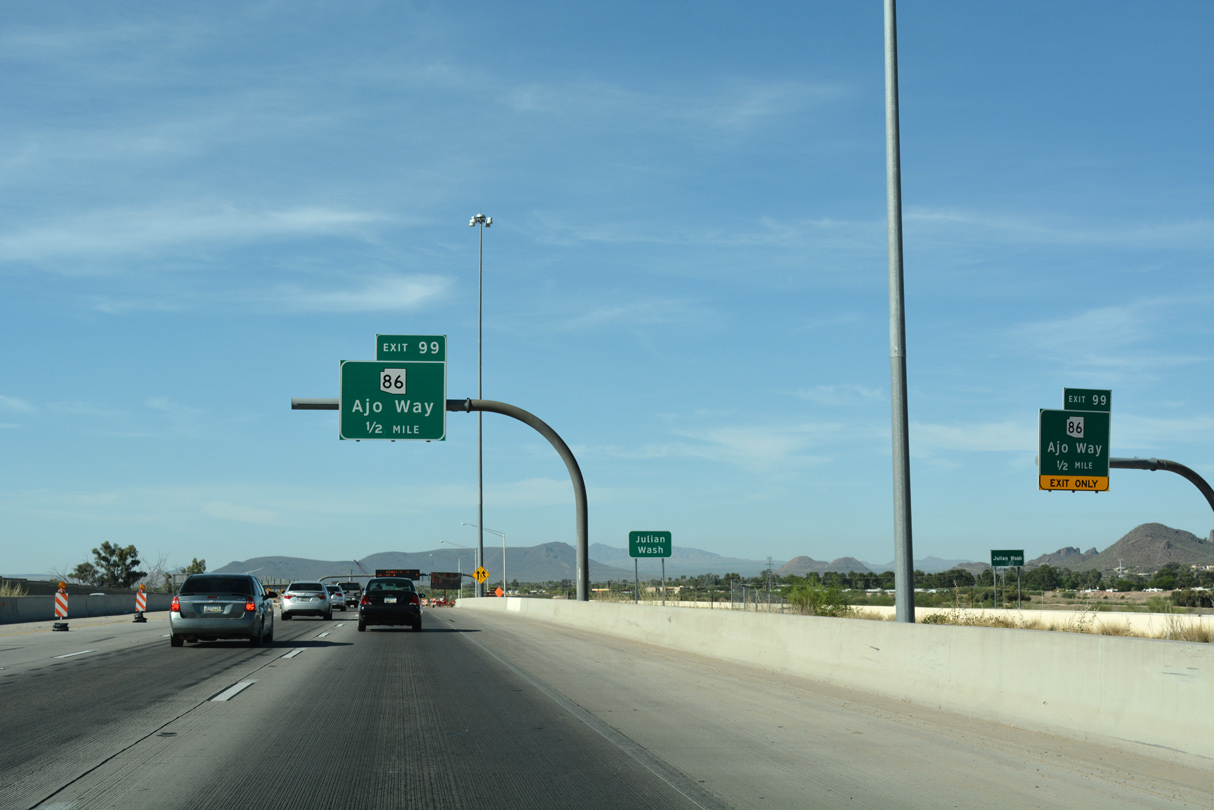
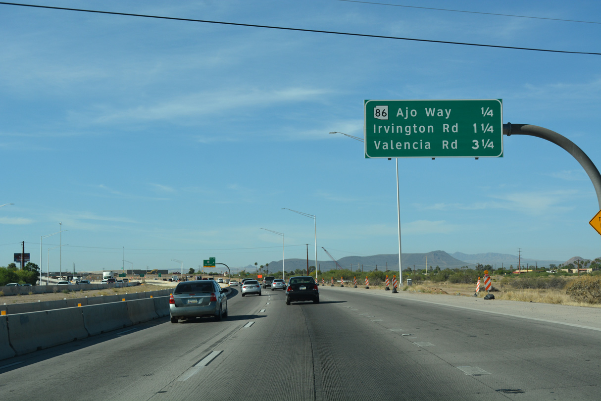
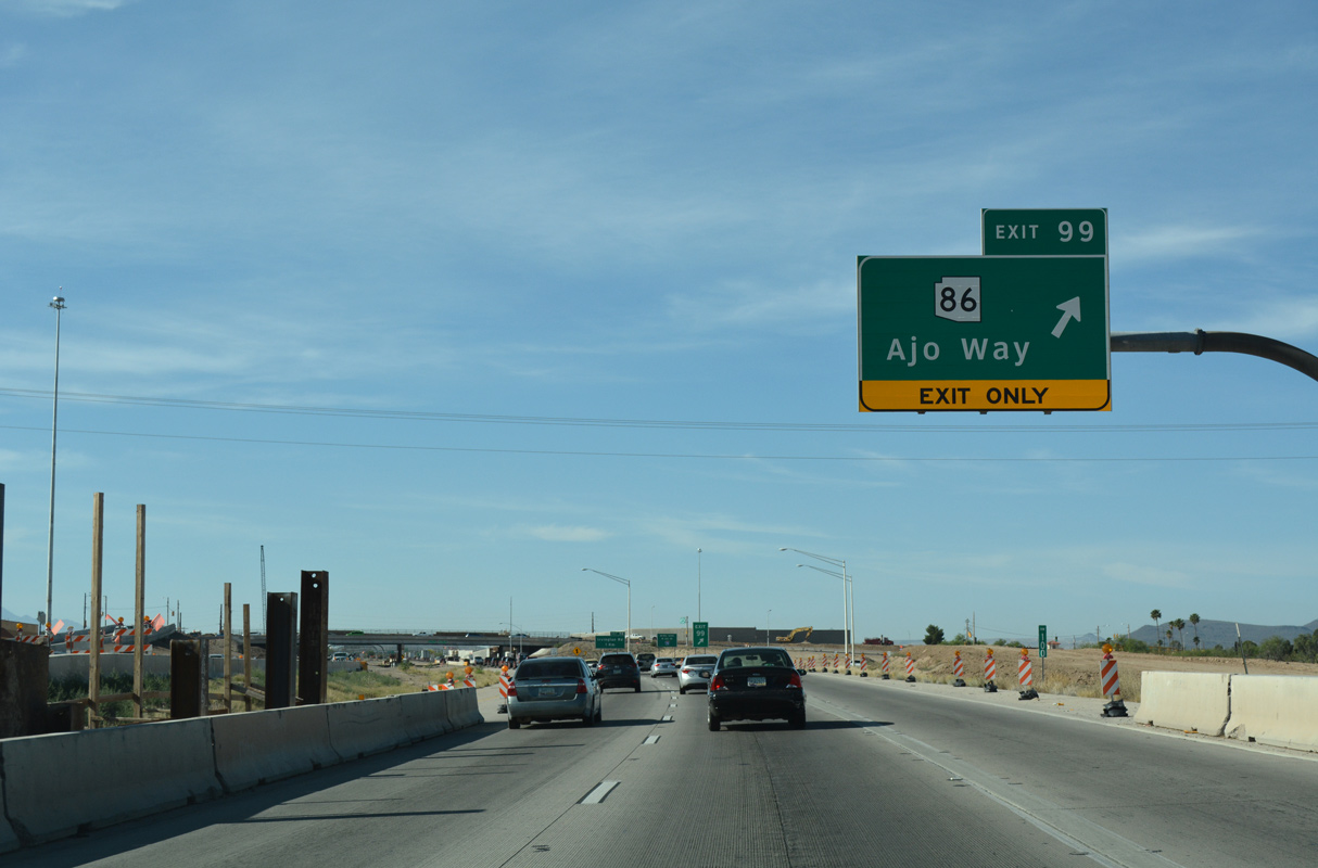
SR 86 lines Ajo Way west from S 12th Avenue in Tucson to Exit 99 en route to Tucson Estates and Three Points.
04/26/17
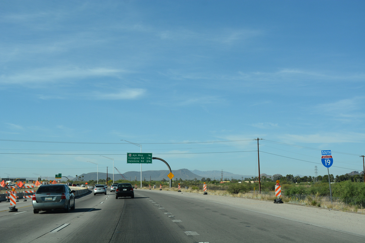
Construction underway in 2017 replaced the six-ramp parclo interchange at Exit 99 with a SPUI.
04/26/17
04/26/17
SR 86 travels 118.35 miles overall from Tucson to SR 85 at Why.
04/26/17
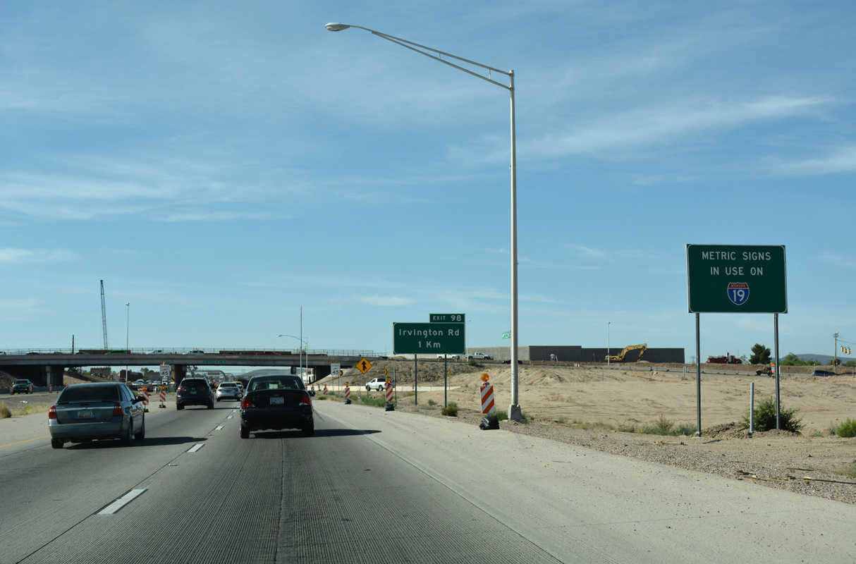
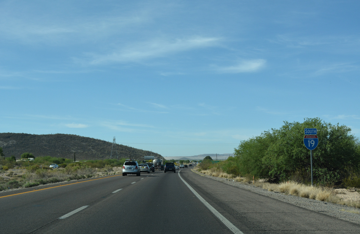
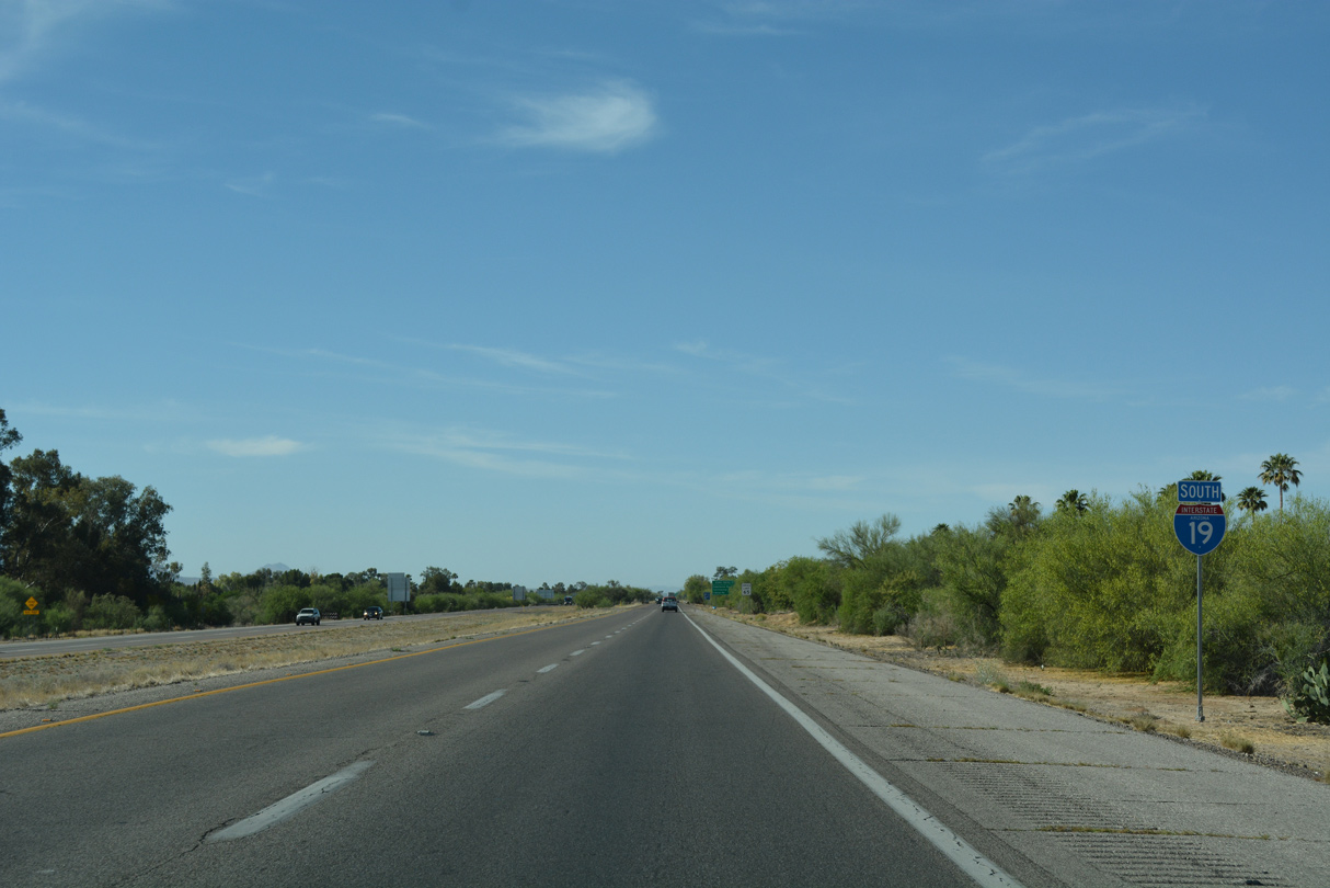
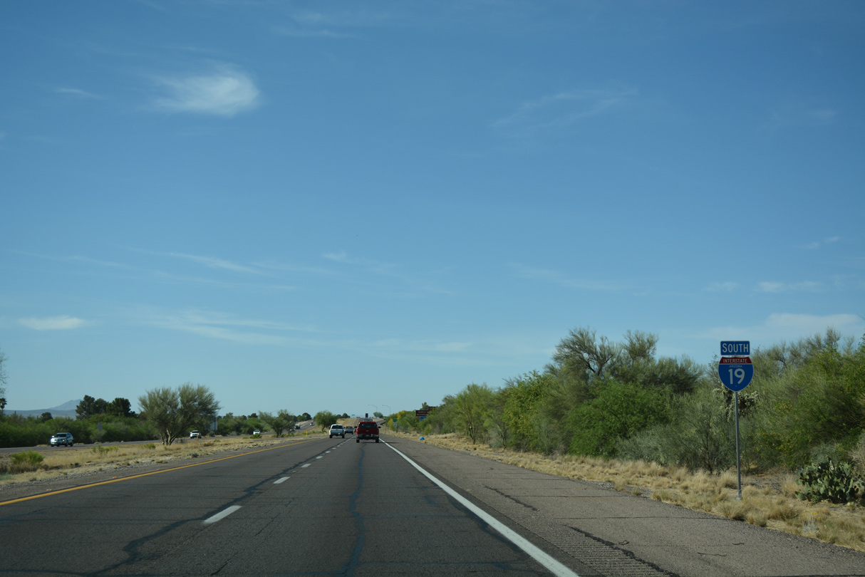
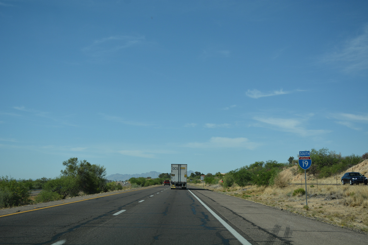
This sign advised motorists that I-19 is a Metric highway. When the highway was signed in Metric during 1979, ADOT wanted to make the whole thing, including speed limit signs, metric - but the metric conversion of 55 MPH to 90 KPH worked out to 55.8 MPH, just over the then-national speed limit.
04/26/17
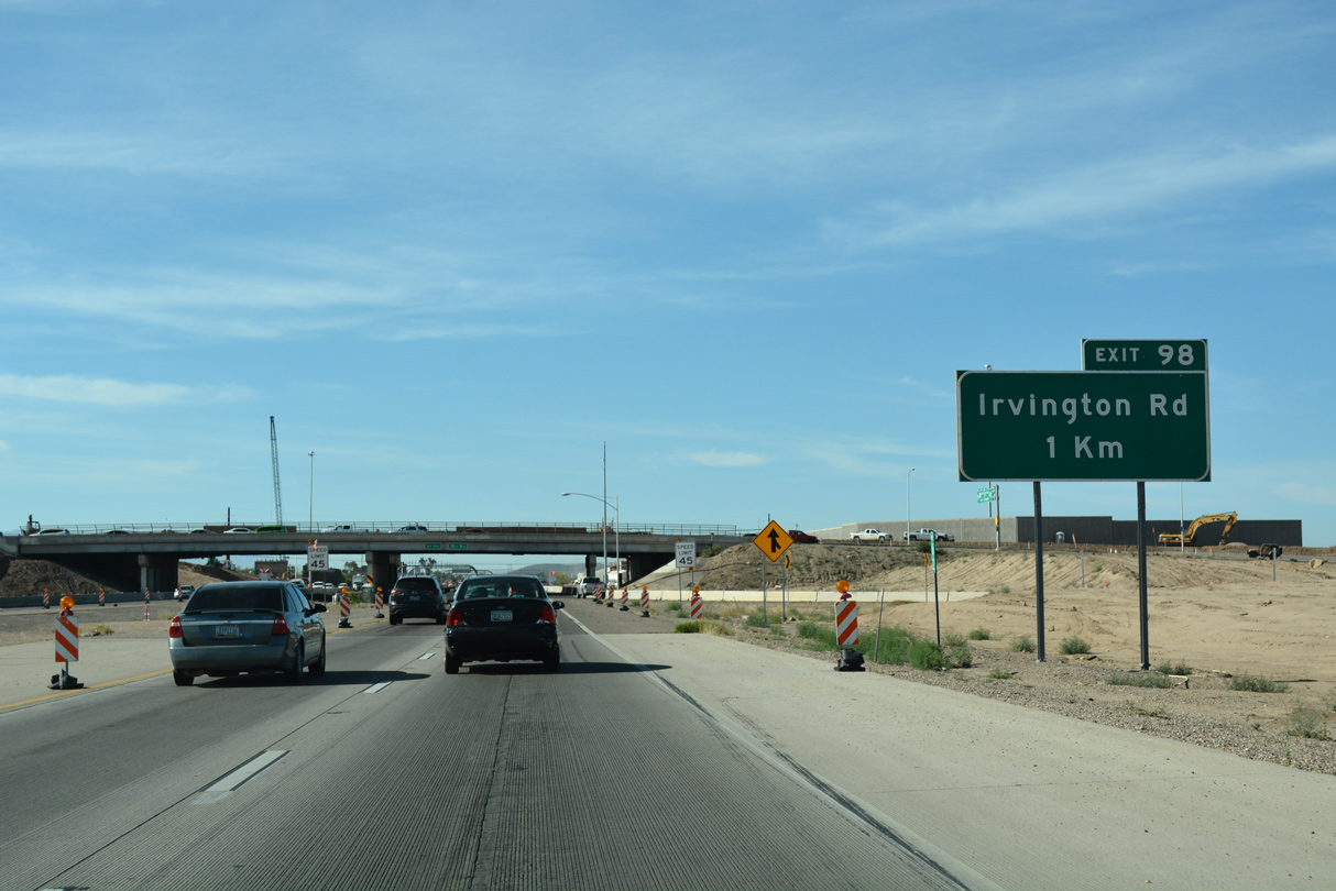
Irvington Road runs east from Tucson Mountain Park to cross the Santa Cruz River leading into the diamond interchange (Exit 98) with Interstate 19.
04/26/17
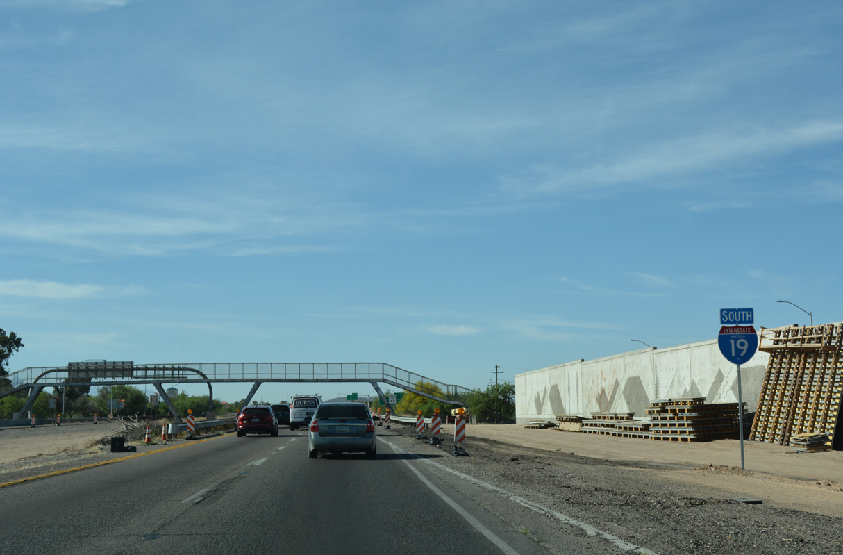
Built in 1965, a pedestrian bridge spans Interstate 19 at Michigan Street.
04/26/17
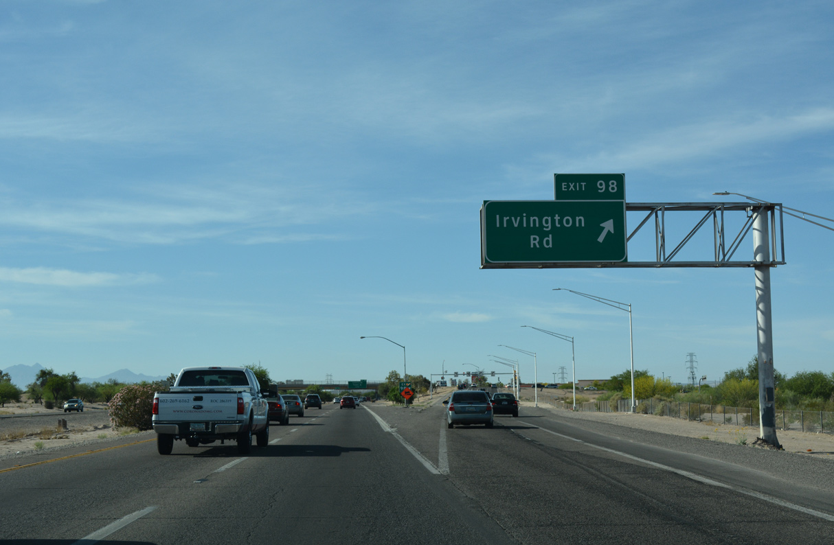
Irvington Road continues east from Exit 98 to I-10 at Exit 264 and an industrial park area along the west side of Davis-Monthan Air Force Base.
04/26/17

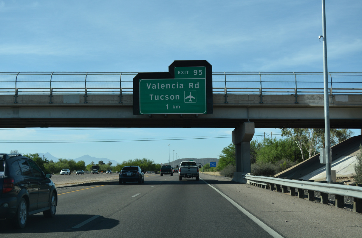
The succeeding exit along I-19 south is with Valencia Road west of Tucson International Airport (TUS).
04/26/17
Interstate 19 crosses Airport Wash beyond this confirming marker.
04/26/17
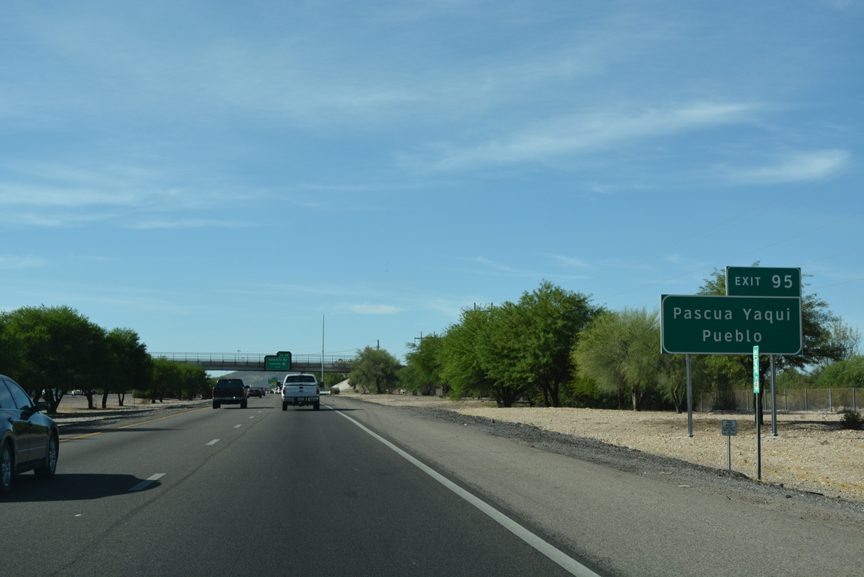
Valencia Road west leads to Pascua Yaqui Pueblo.
04/26/17
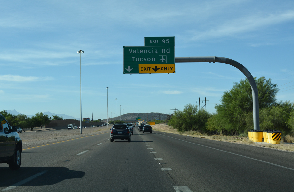
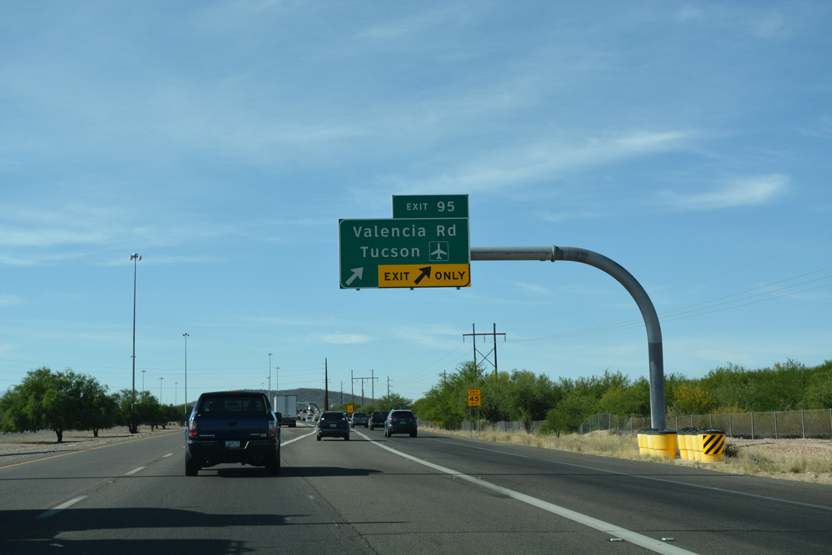
The SPUI with Valencia Road is the last urban interchange along Interstate 19 southbound.
04/26/17
Valencia Road extends east across south Tucson past Davis Monthan-Tucson Air Force Base to the master planned community of Rita Ranch.
04/26/17
Valencia Road east three miles to Tucson Boulevard south connects I-19 with the passenger terminal at Tucson International Airport (TUS).
04/26/17
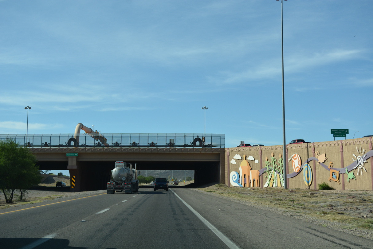
2004 construction upgrading the six-ramp parclo interchange with Valencia Road into a SPUI included a decorative overpass and retaining walls. The span can accommodate six lane expansion for I-19.
04/26/17
04/26/17
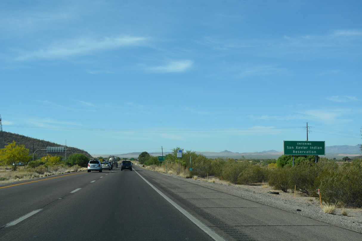
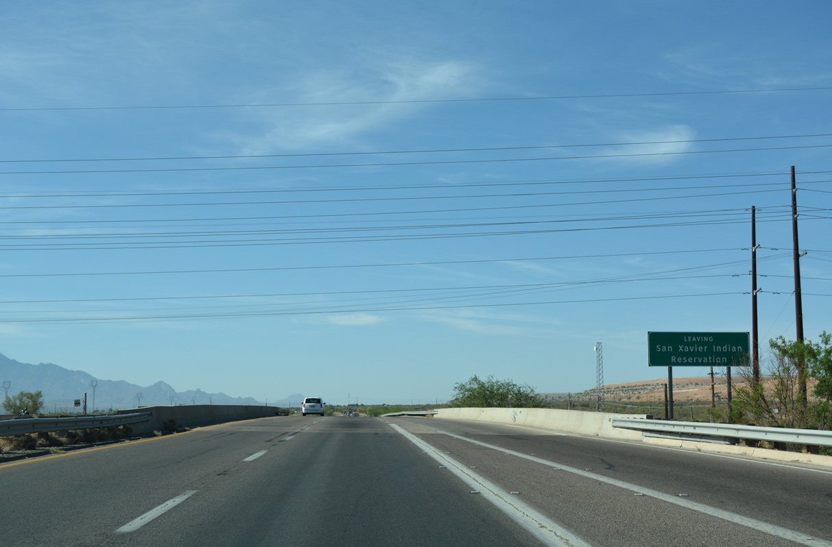
Interstate 19 enters San Xavier Indian Reservation at kilometerpost 93, north of Martinez Hill.
04/26/17
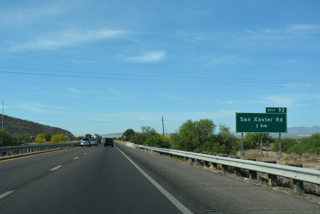
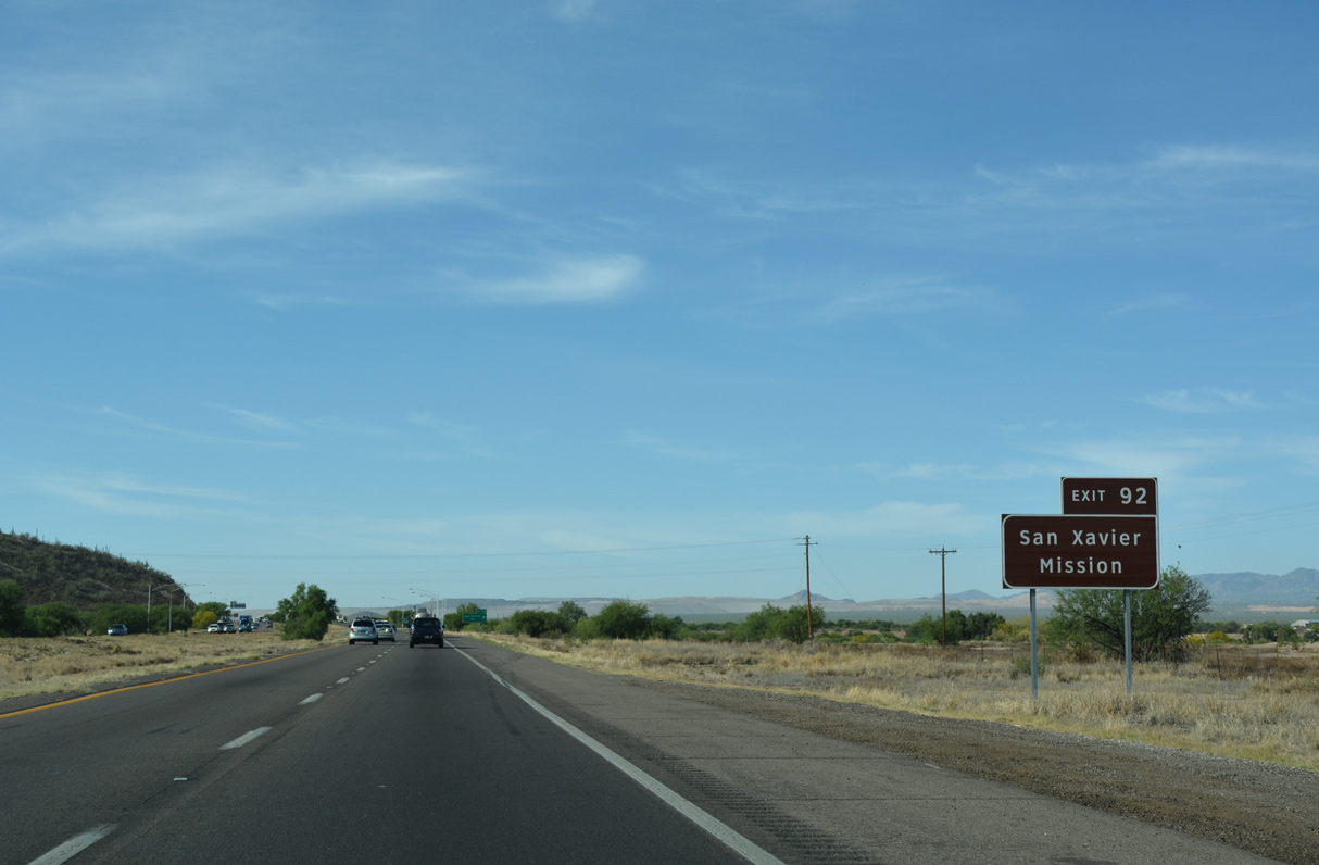
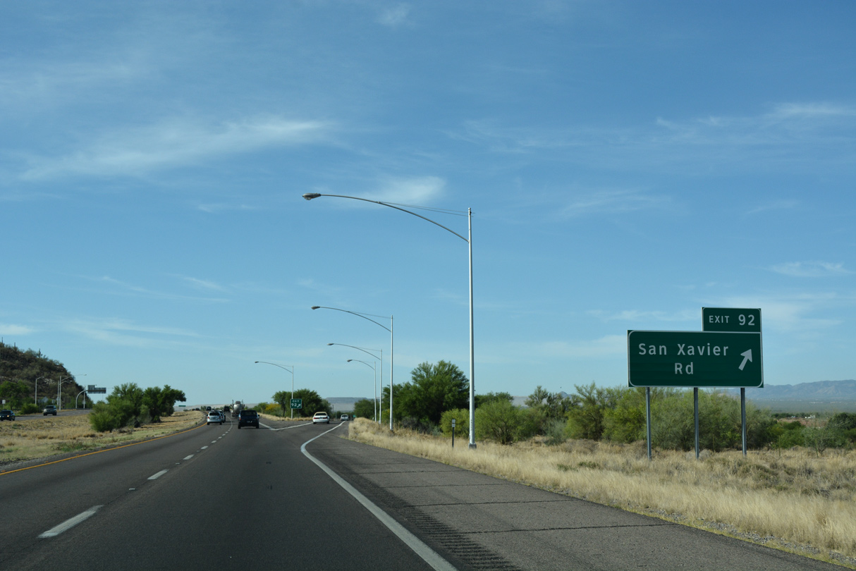
San Xavier Road angles southwest from S 6th Avenue in Tucson to the parclo interchange at Exit 92.
04/26/17
04/26/17
04/26/17
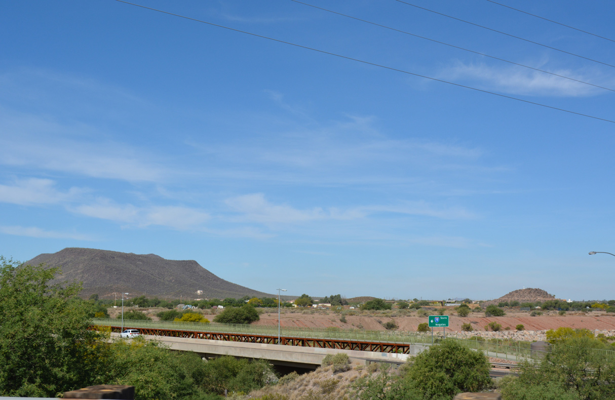
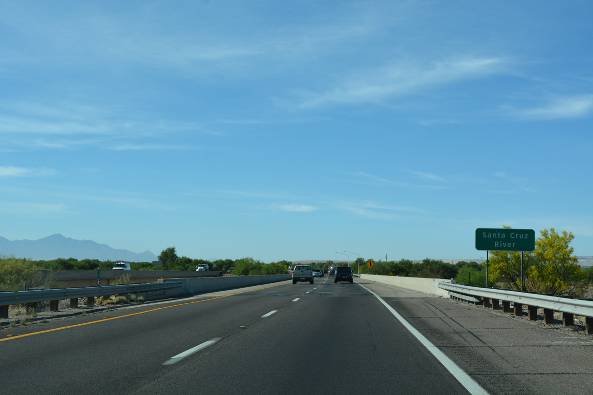
San Xavier Road spans the Santa Cruz River just west of Exit 92. Black Mountain rises along the horizon.
04/26/17
04/26/17
04/26/17
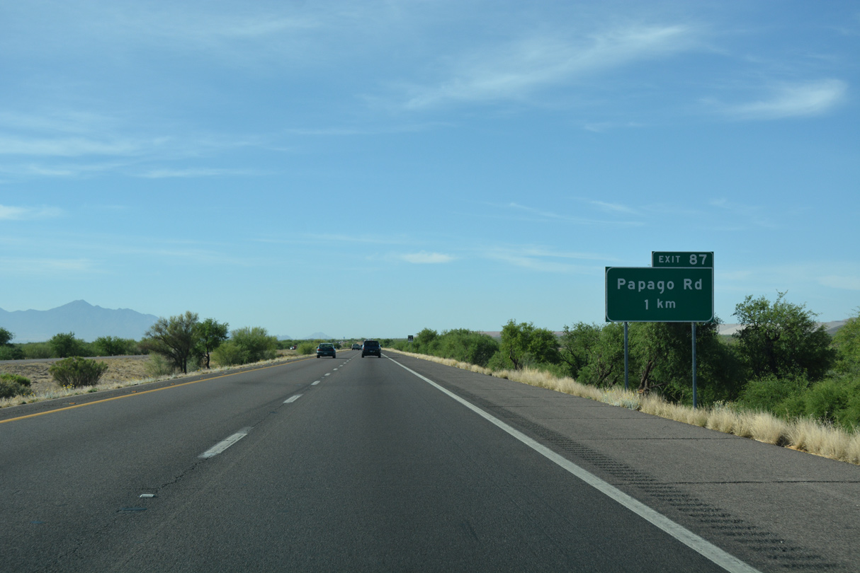
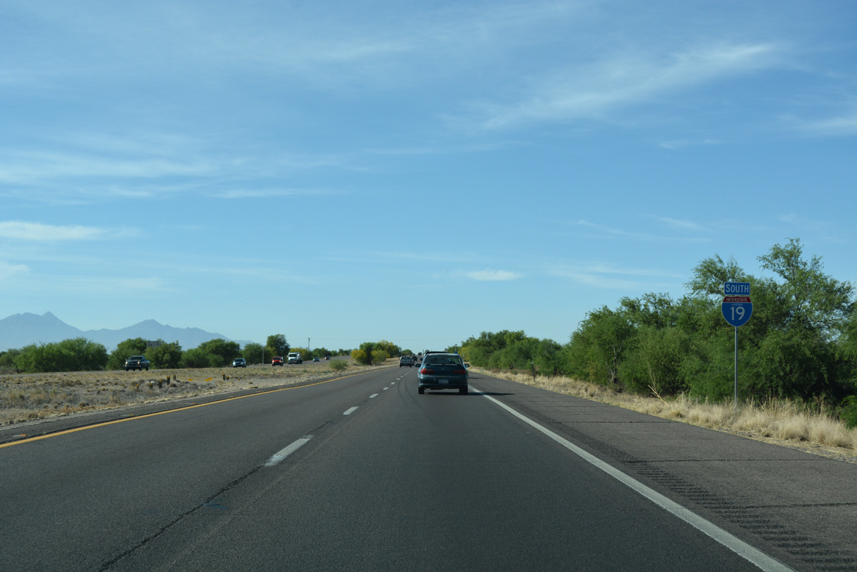
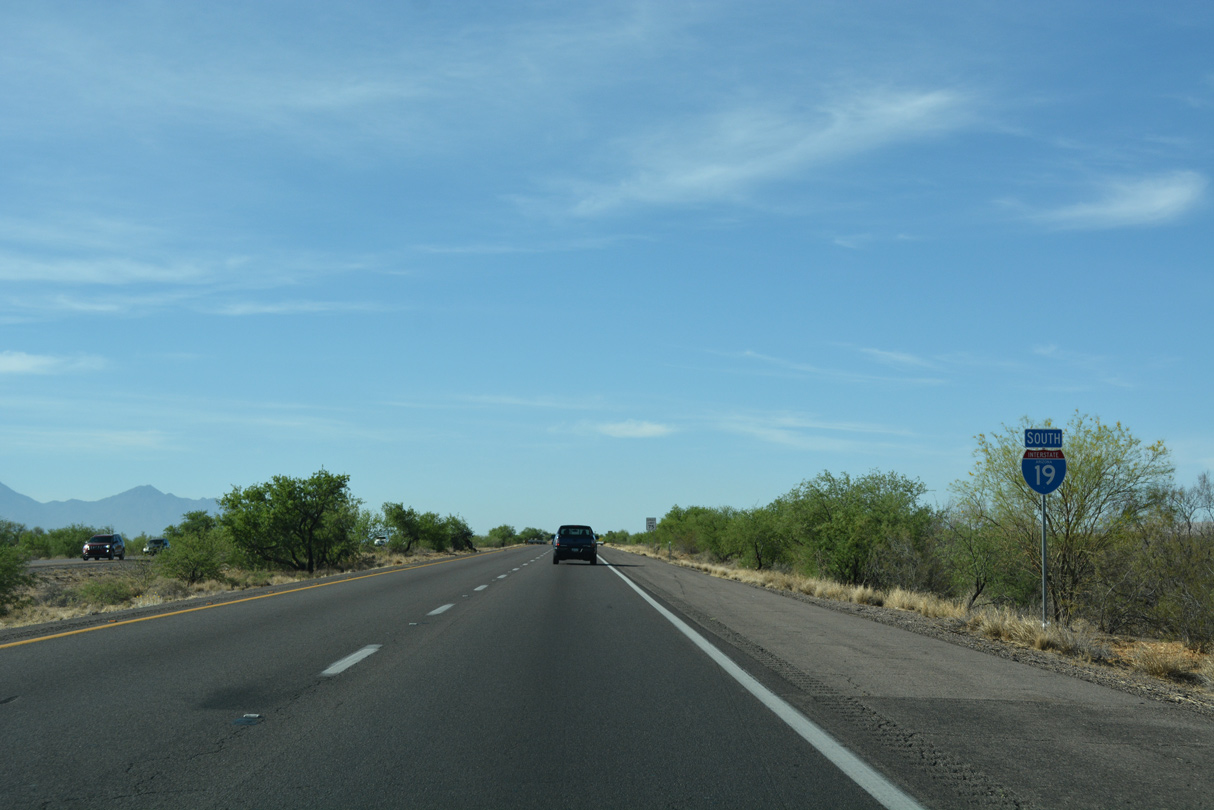
The next series of exits from Interstate 19 south include several "distinctly Arizona" names, including Papago, which is also the name of the freeway along I-10 west of Downtown Phoenix. Others include Pima and Yavapai.
04/26/17
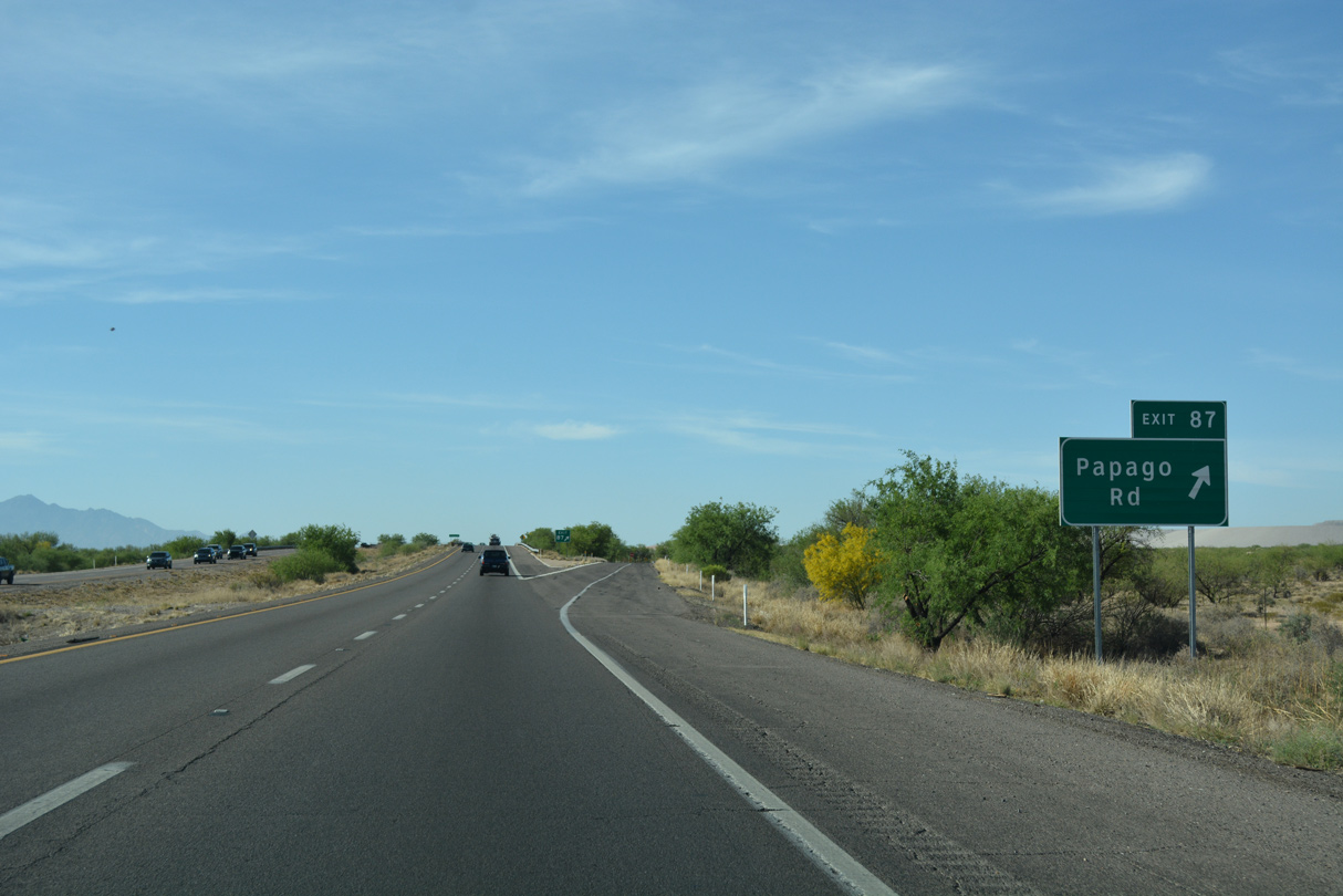
Papago Road is a ranch exit.
04/26/17
04/26/17
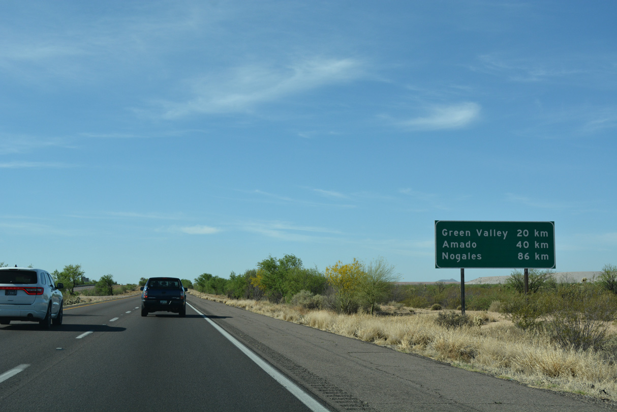
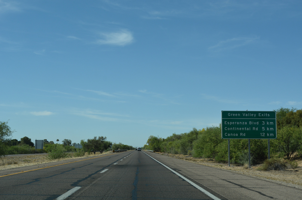
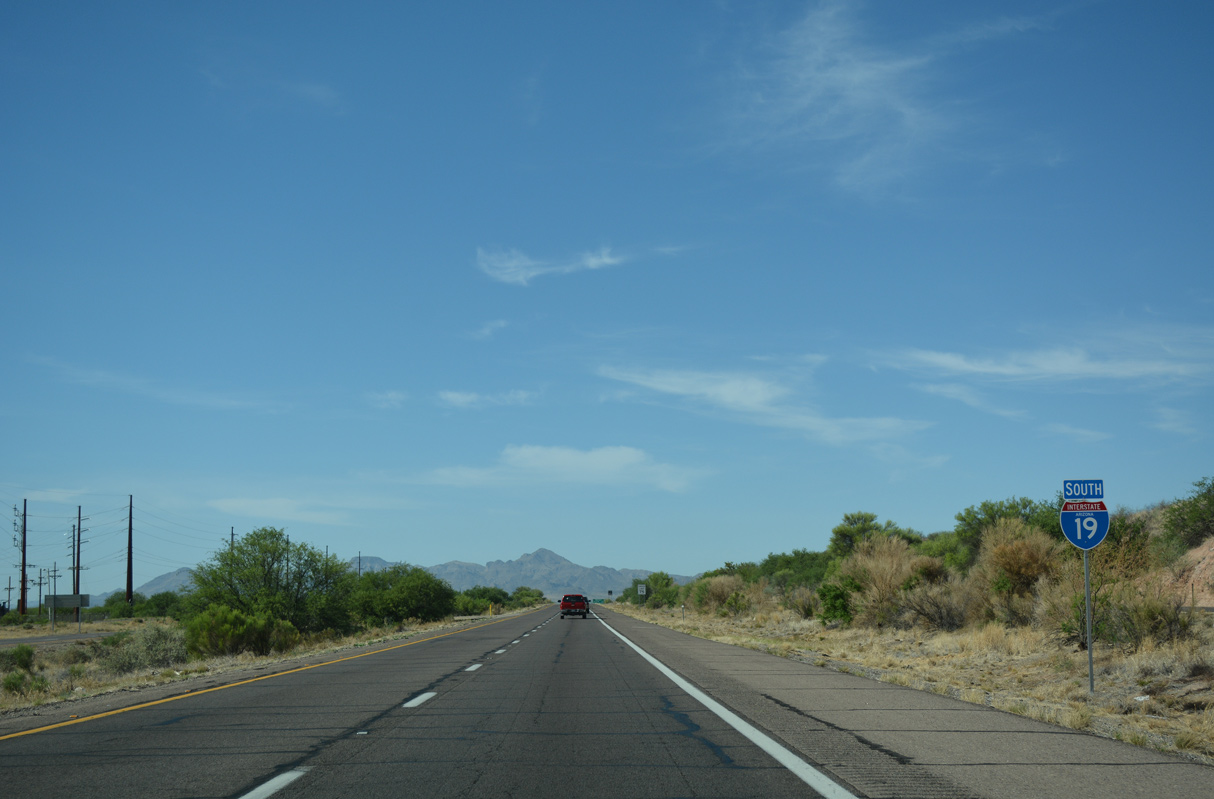
The unincorporated community of Green Valley lies 20 kilometers ahead. I-19 concludes in Nogales, just north of the International border with Mexico.
04/26/17
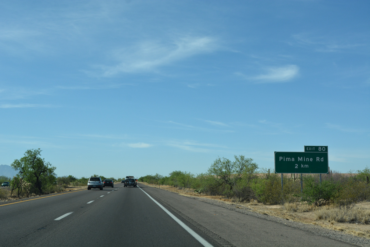
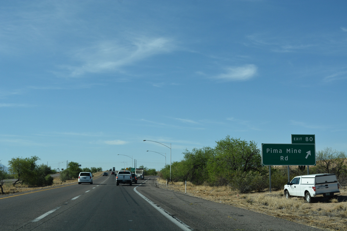
A folded diamond interchange (Exit 80) connects Interstate 19 with Pima Mine Road in two kilometers.
04/26/17
04/26/17
04/26/17
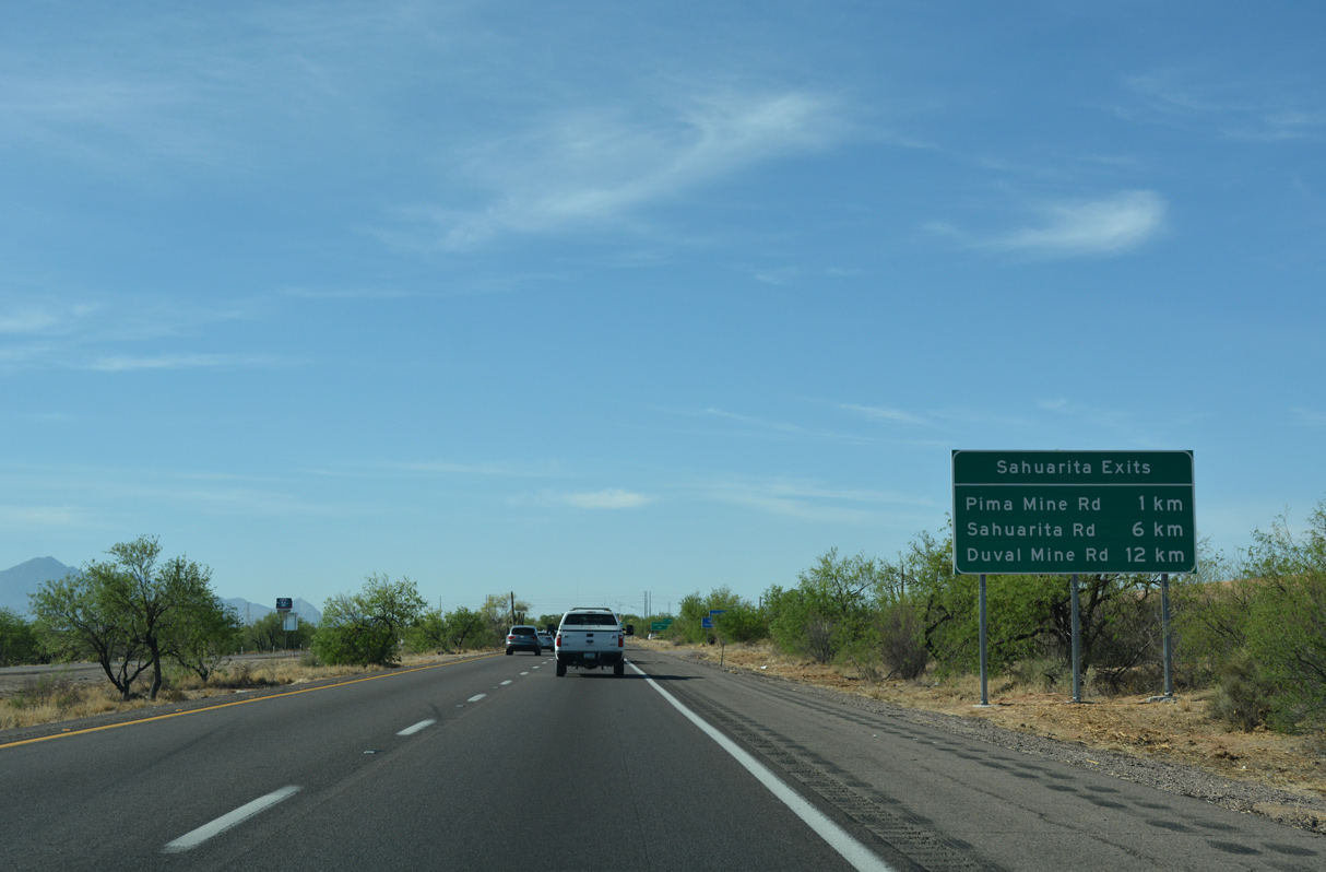
Southbound Interstate 19 leaves the San Xavier (Tohono O'odham) Indian Reservation at Pima Mine Road.
04/26/17
04/26/17
04/26/17

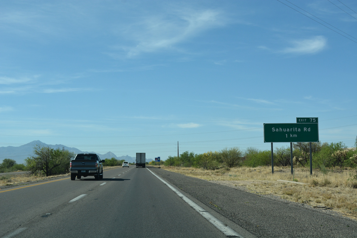
Interstate 19 meets Sahuarita Road at a diamond interchange (Exit 75) west of Sahuarita Town Hall.
04/26/17
04/26/17
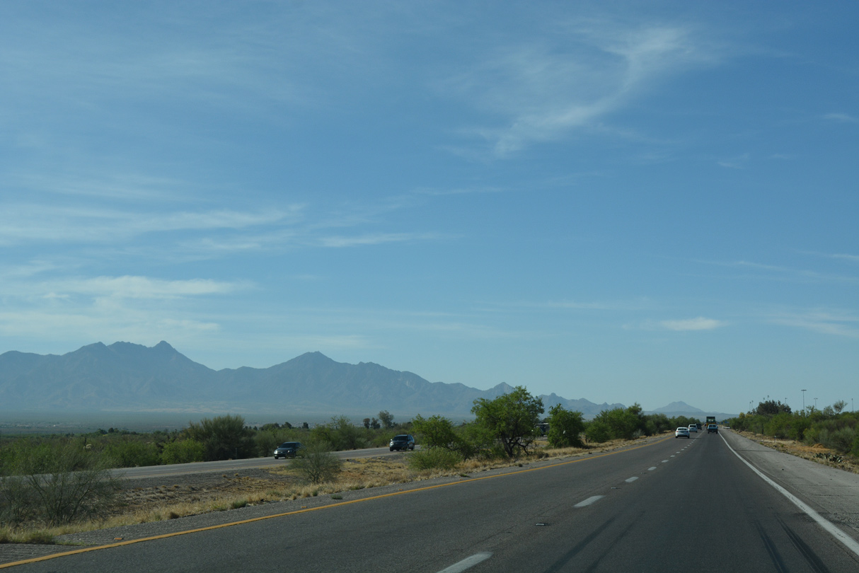
Interstate 19 advances south closer to the Santa Rita Mountains and Coronado National Forest.
04/26/17
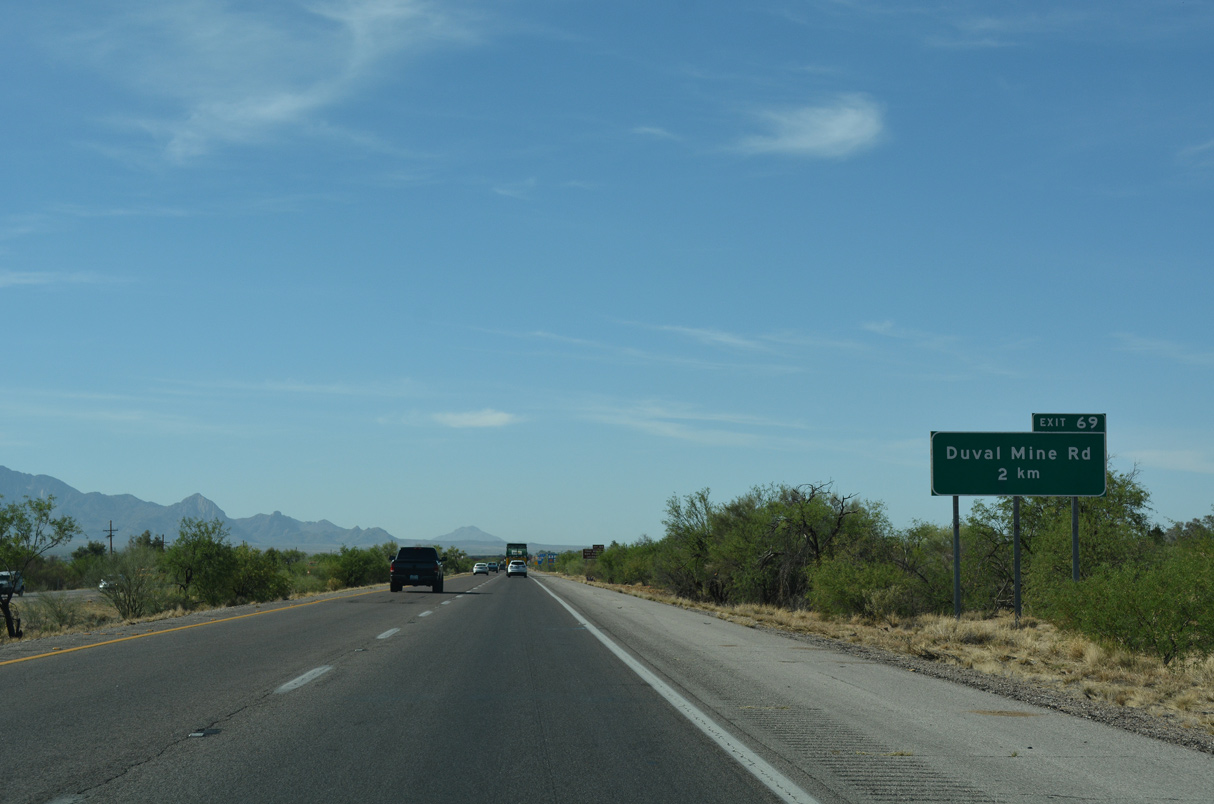
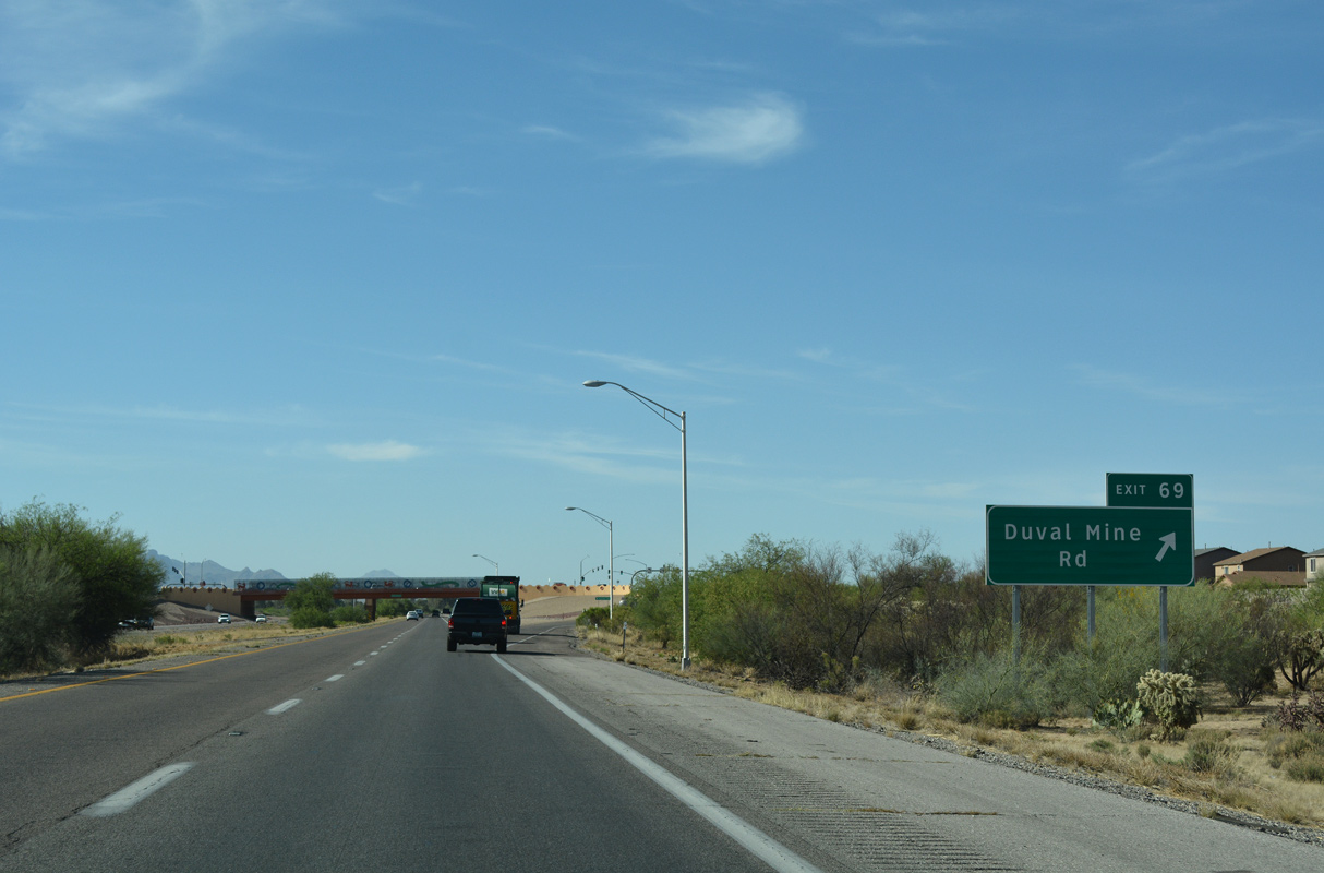
Nogales Highway (old U.S. 89) converges with Interstate 19 southwest from the Santa Cruz River at Exit 69, opposite from Duval Mine Road.
04/26/17
04/26/17
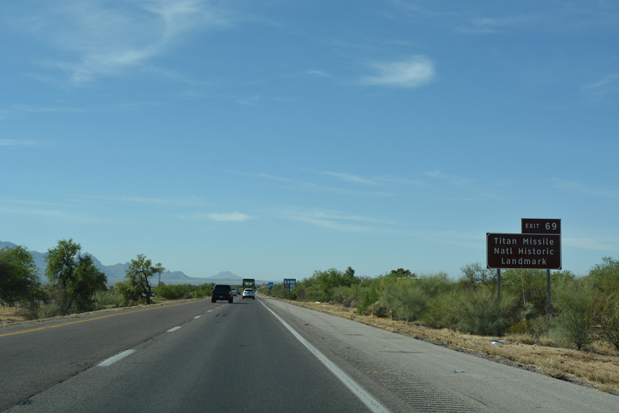
Exit 69 marked the end of what was Business Loop I-19 leading south from I-10 and South Tucson along old U.S. 89.
04/26/17

Duval Mine Road spurs 7.57 miles southwest to Twin Buttes Mine and Sierrita Mine.
04/26/17
04/26/17
04/26/17
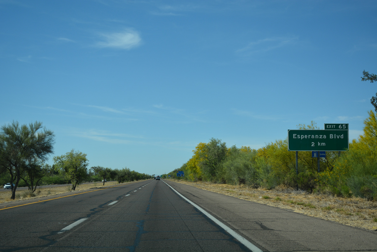
Esperanza Boulevard stems west from parallel Abrego Drive to the Esperanza Estates neighborhood in Green Valley.
04/26/17
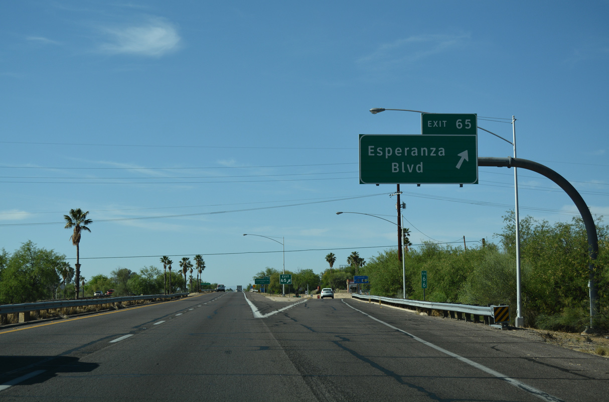
The diamond interchange (Exit 65) with Esperanza Boulevard lies adjacent to Green Valley Village retail center.
04/26/17
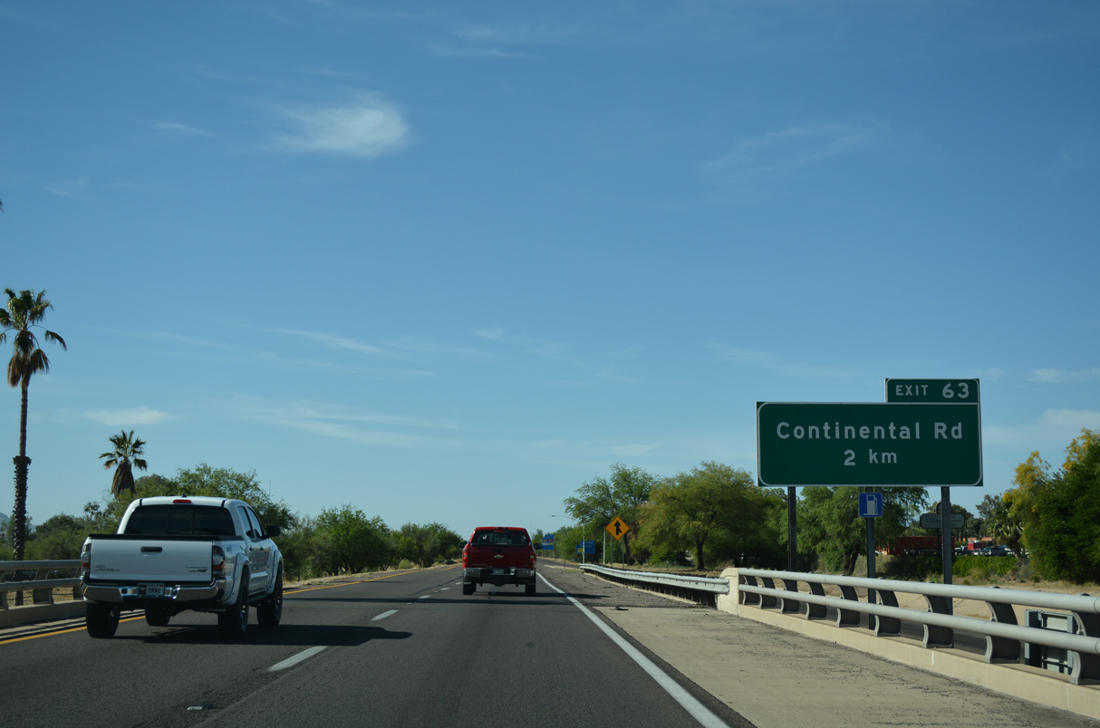
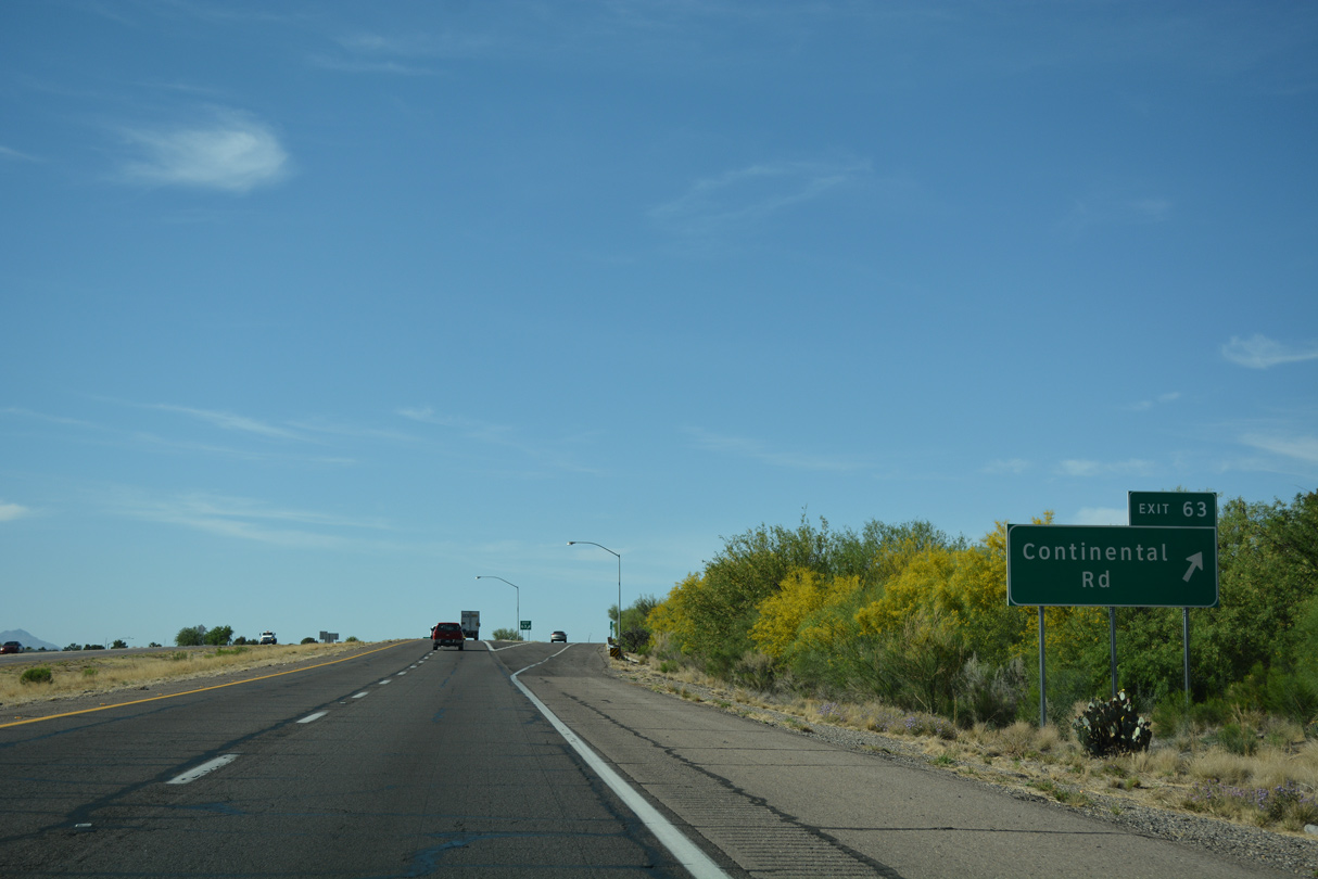
Continental Road branches 3.40 miles east from Duval Mine Road to the diamond interchange at Exit 63.
04/26/17
04/26/17
Continental Road continues 1.19 miles east from I-19 to Whitehouse Canyon Road. Whitehouse Canyon Road spurs 7.28 miles southeast to Madera Canyon Road for Madera Canyon Recreation Area, part of Coronado National Forest.
04/26/17
04/26/17

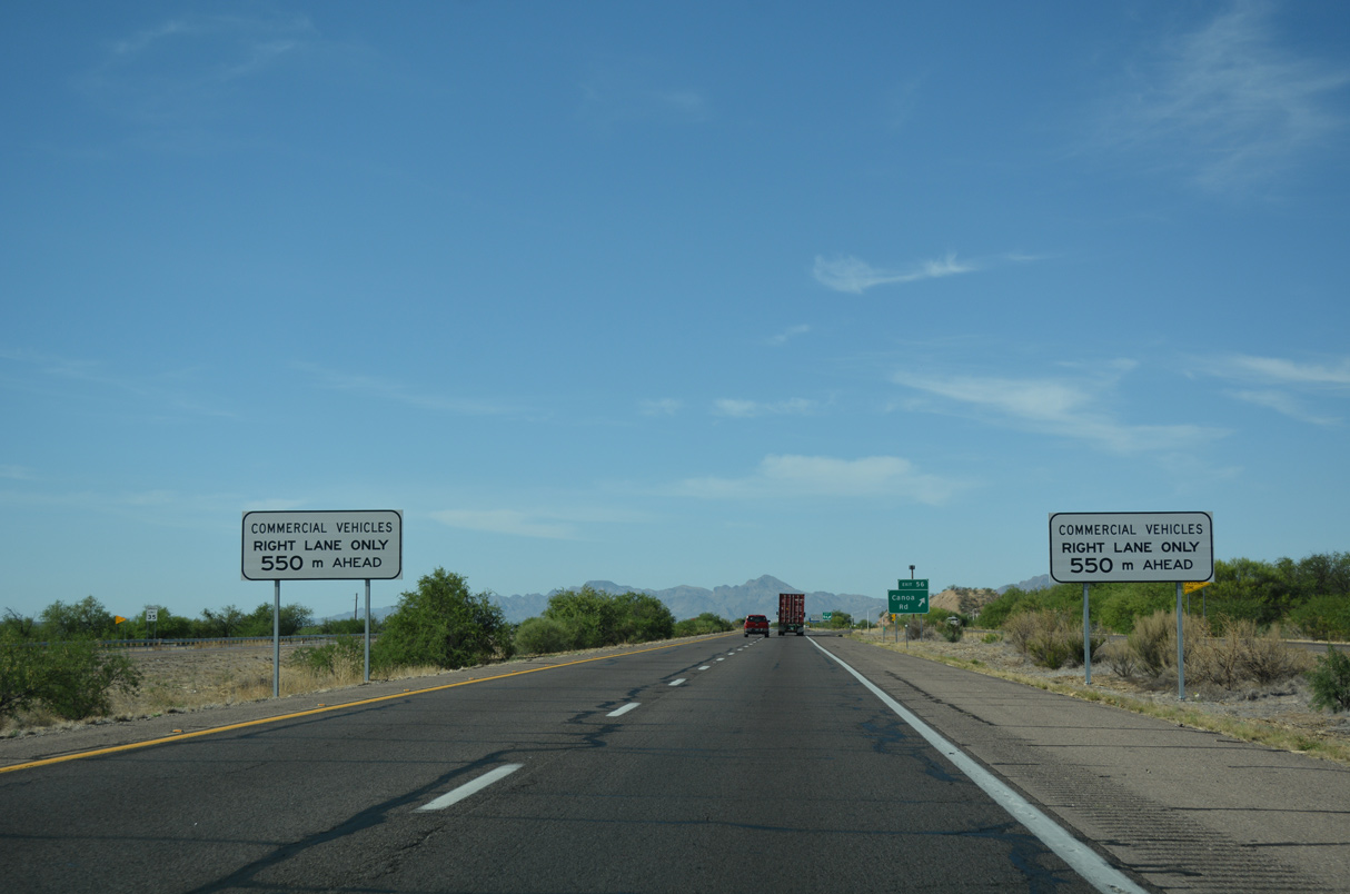
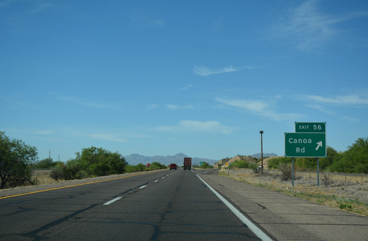
Continuing south, Interstate 19 meets Canoa Road at Exit 56 beyond Demetrie Wash.
04/26/17
04/26/17
Canoa Ranch Road connects Exit 56 with the Canoa Ranch golf course development.
04/26/17
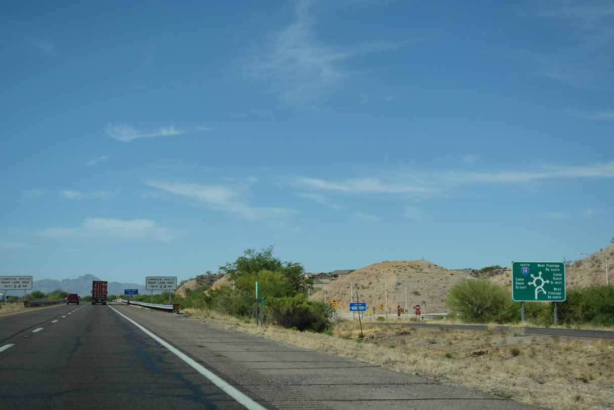
A roundabout was constructed along the southbound ramps at Canoa Ranch Road in 2008.
04/26/17
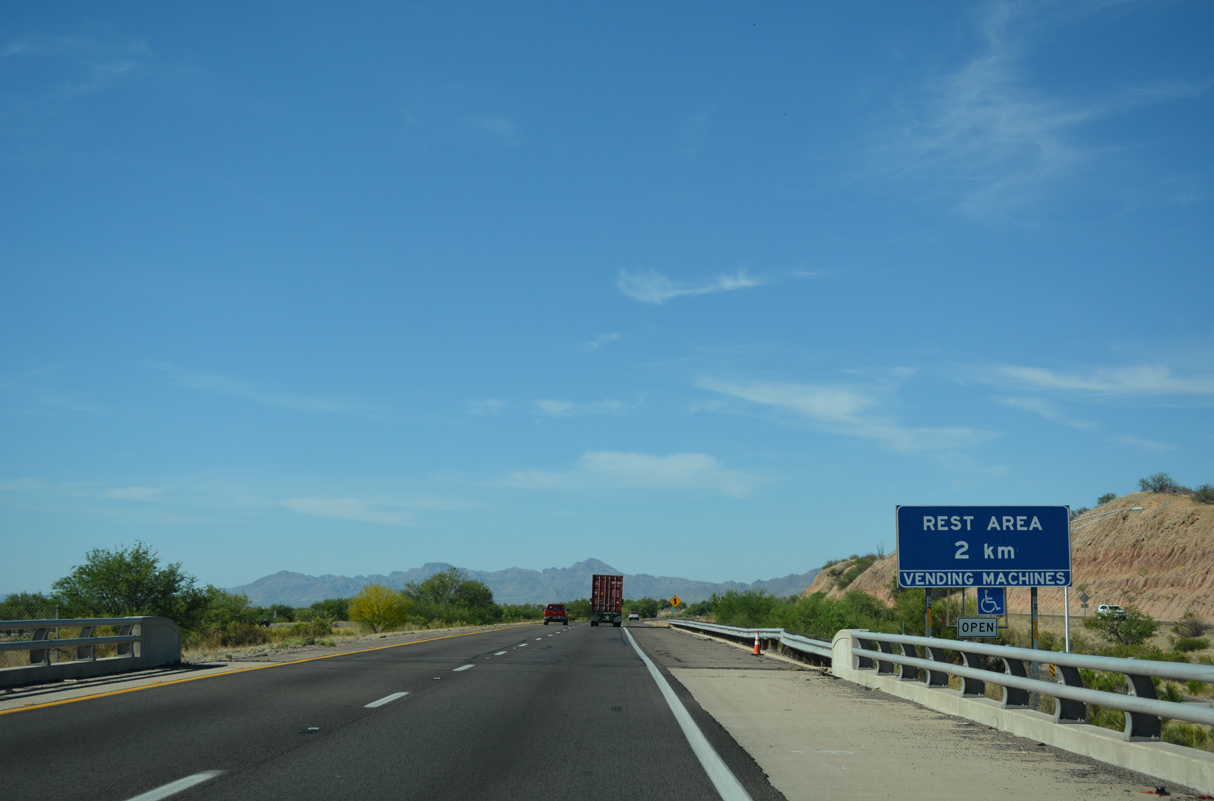
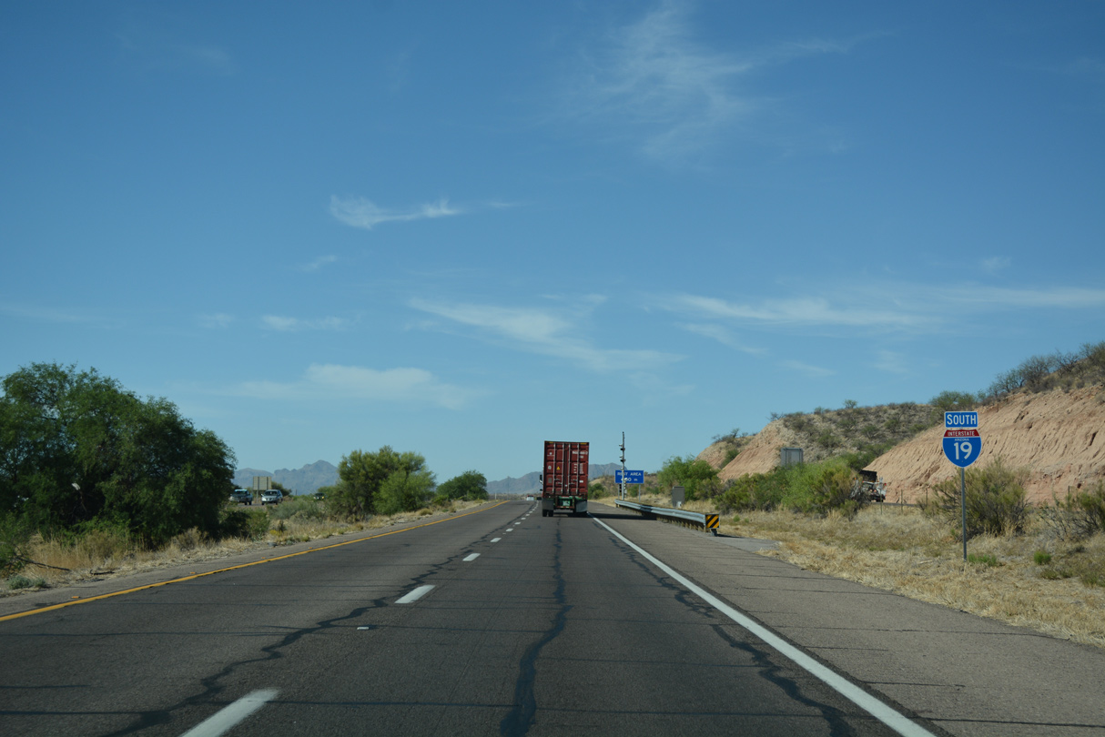
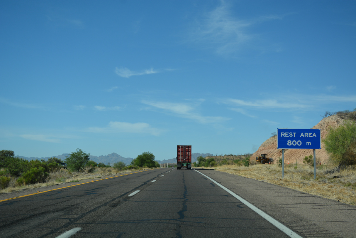
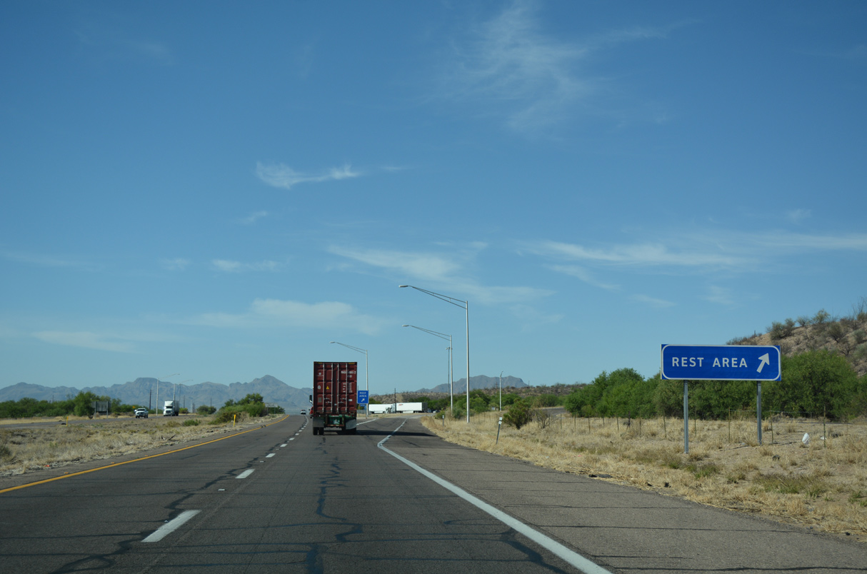
Just south of Canoa Ranch Road is the Canoa Ranch Rest Area, the lone facility along Interstate 19.
04/26/17
Interstate 19 crosses Escondido Wash near this confirming marker.
04/26/17
04/26/17
04/26/17
04/26/17
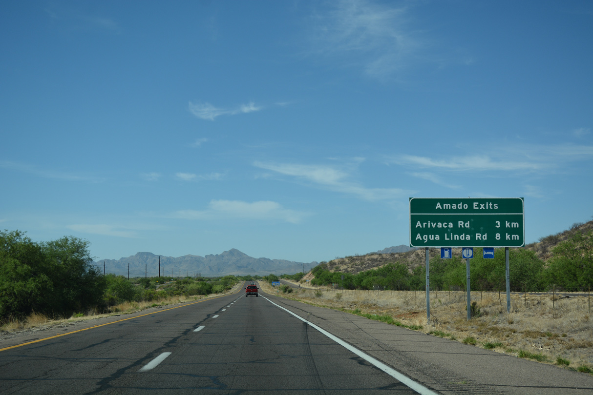
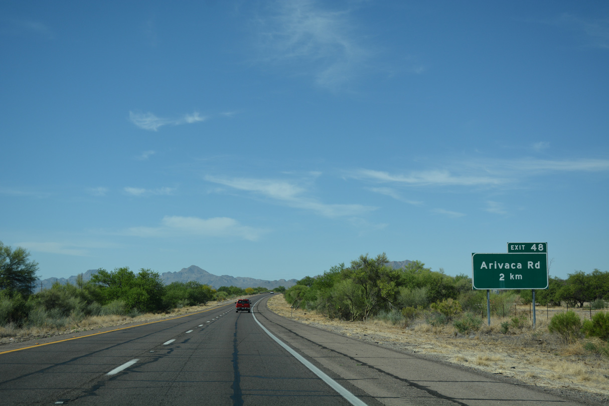
The succeeding two exits from Interstate 19 south serve the unincorporated community of Amado.
04/26/17
The riparian environs omnipresent along most of Interstate 19 provides for more vegetation and greenery than would normally be found in the desert. Bushes and trees within the median are quite common between Tucson and Nogales, giving I-19 a parkway feel to it.
04/26/17
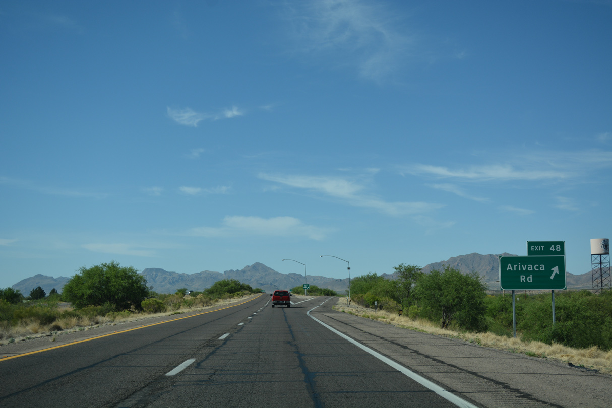
Arivica Road heads west from Exit 48 to Nogales Highway (old U.S. 89) at Arivaca Junction and southwest toward the Las Guijas Mountains.
04/26/17
Photo Credits:
04/26/17 by AARoads
Connect with:
State Route 86
Page Updated 04-19-2022.