
 East
East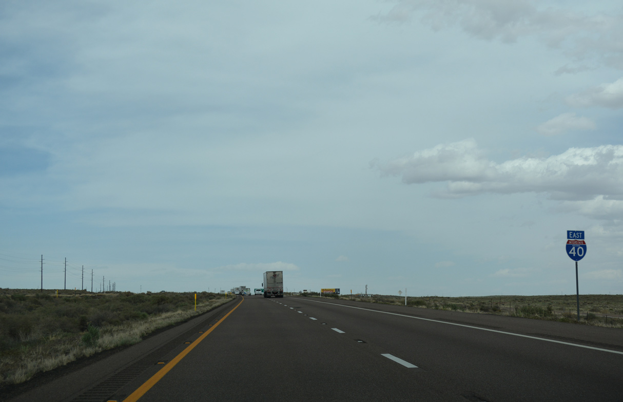
Opened in 1961, Interstate 40 between Exit 303 and 320 was one of the first two sections completed in Arizona.
04/27/17
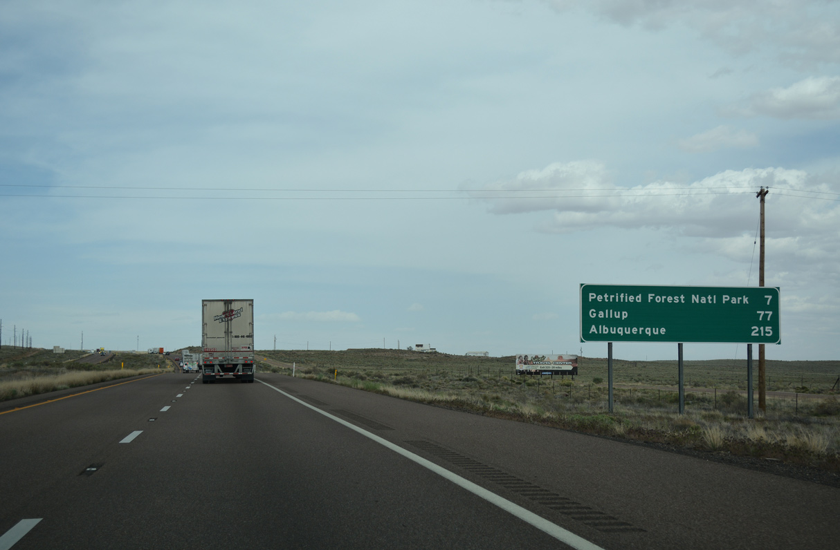
Distance sign to Petrified Forest National Park (7 miles), Gallup (77 miles) and Albuquerque (215 miles) in New Mexico.
04/27/17
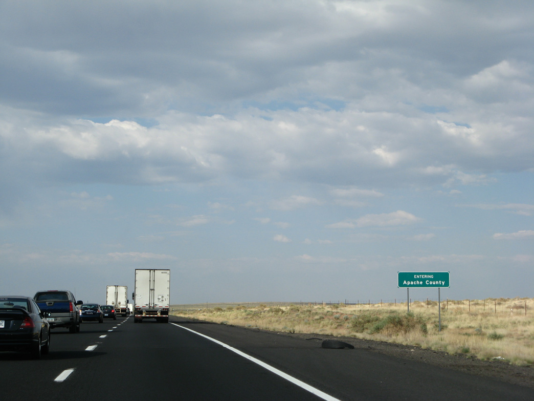
Interstate 40 enters Apache County 306.91 miles from the California state line. Apache County is the most northeast of all Arizona counties, with St. Johns as the County Seat.
06/28/08
04/27/17
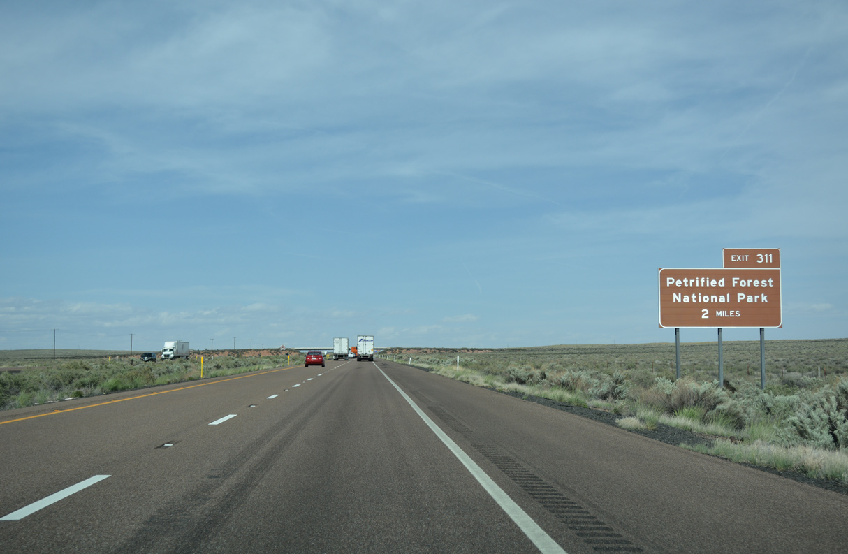
Overtaking the old alignment of U.S. 66, Interstate 40 enters Petrified Forest National Park two miles from Exit 311 to Petrified Forest Road.
04/27/17

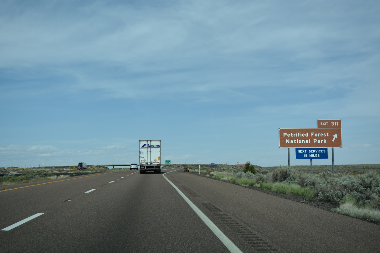
Exit 311 only serves the National Park, with Petrified Forest Park Road looping north to the Painted Desert Inn then turning south across I-40 to U.S. 180.
04/27/17

Trucks are not permitted on Petrified Forest Road.
04/27/17
The diamond interchange at Exit 311 in Petrified Forest National Park replaced a trumpet.
04/27/17
04/27/17
04/27/17
04/27/17
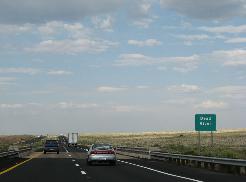
Interstate 40 crosses the Dead River beyond a set of former rest areas. The wash joins the Rio Puerco, which eventually drains into the Little Colorado River.
06/28/08
04/27/17
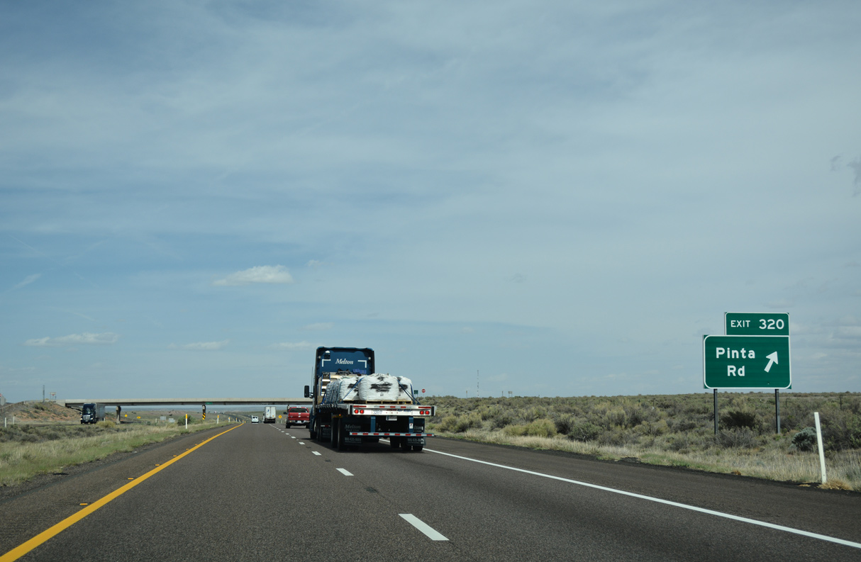
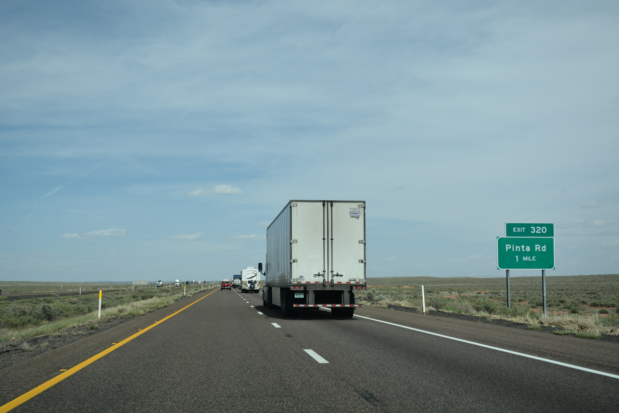
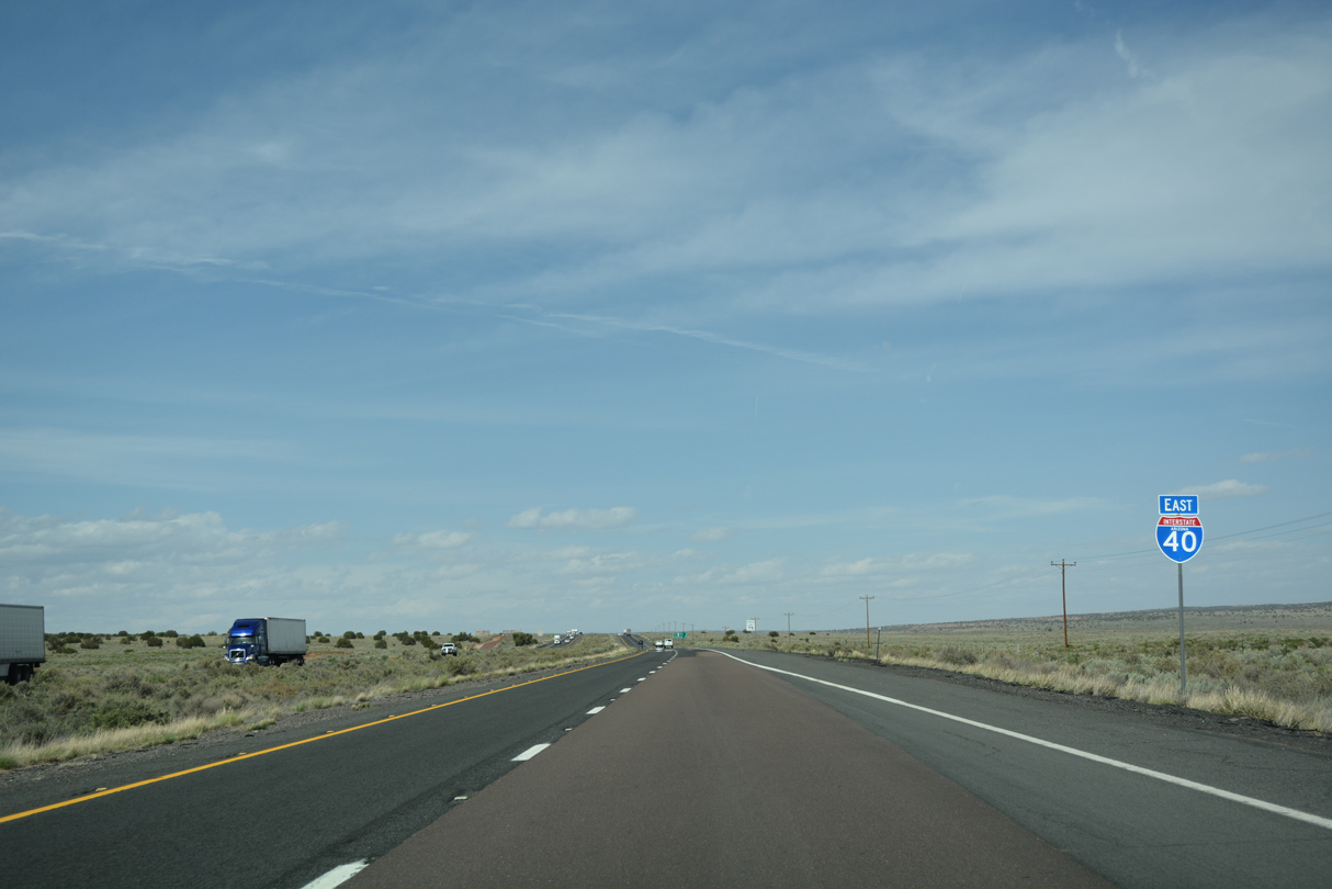
Exit 320 leaves Interstate 40 east for Pinta Road. The remaining 39 miles of I-40 in the Grand Canyon State are sparsely populated.
04/27/17
04/27/17
04/27/17
04/27/17
04/27/17
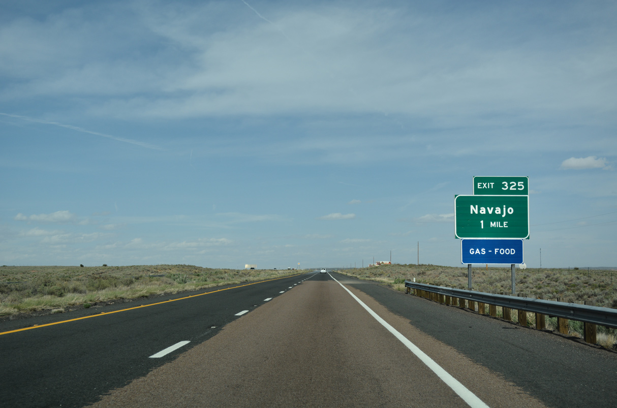
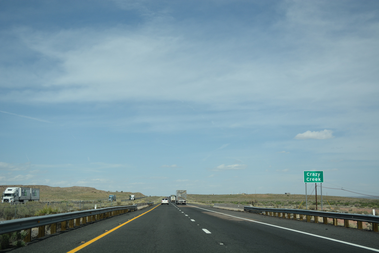
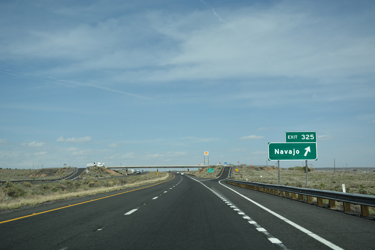
Exit 325 serves Navajo. While there is not much at Navajo, there is immense history, for in 1863, this is where the first territorial government of Arizona was formally inaugurated - when this was called Navajo Springs (shortened to reduce typing on the telegraph!).
04/27/17
Navajo Road links with Kerr McGee Road (CR 7230) south 0.38 miles to an unpaved section of Historic U.S. 66 (CR 7385).
04/27/17
04/27/17
04/27/17
04/27/17
04/27/17

04/27/17
04/27/17

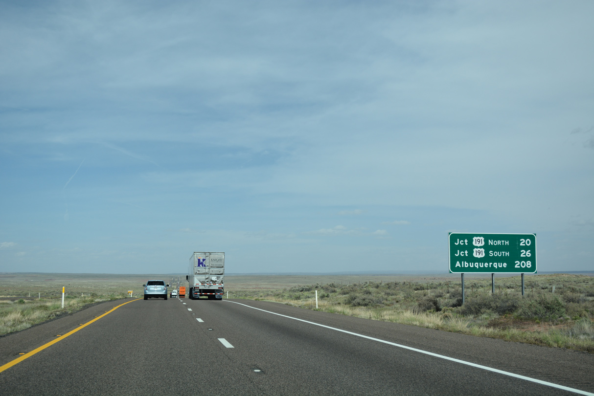
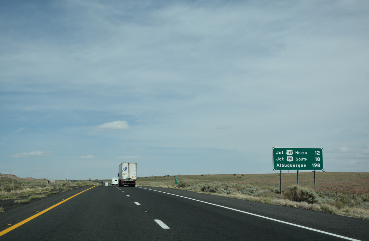
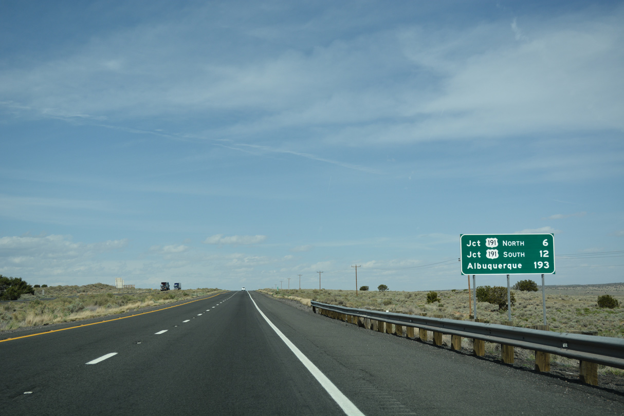
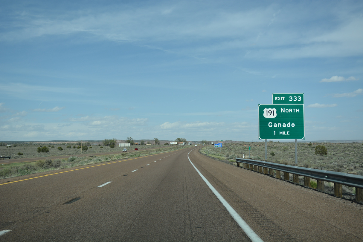
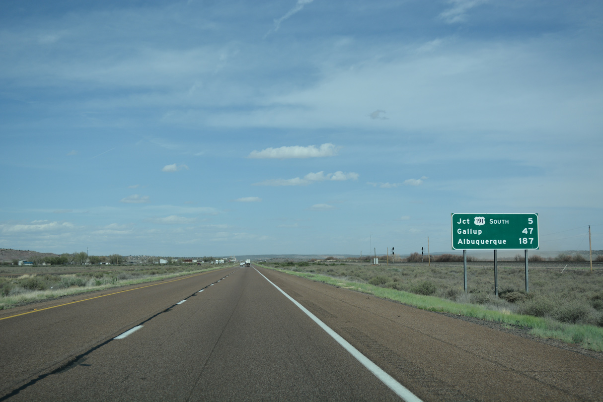
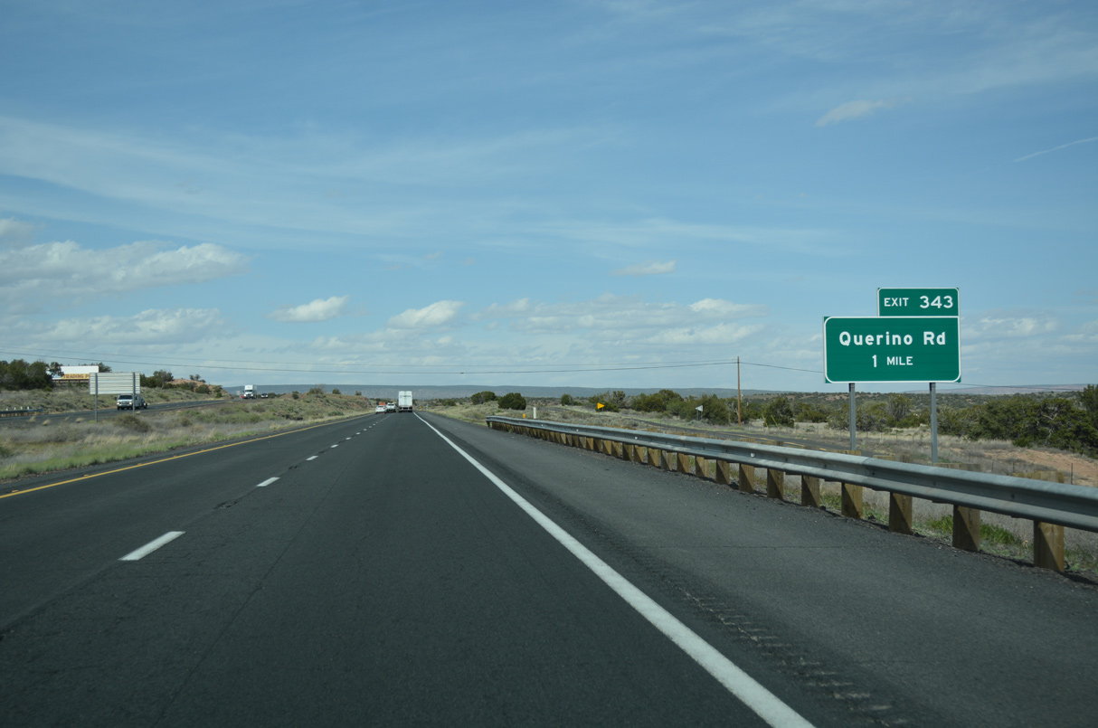
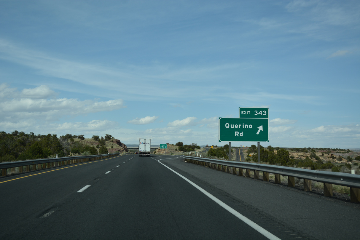
Continuing east along the Puerco River, Interstate 40 converges with U.S. 191 north to Ganado and the Navajo Nation at Exit 333.
04/27/17
North from I-40/Historic U.S. 66, U.S. 191 was signed as SR 63 from 1971 to 1982, before being re-signed as U.S. 191. This section of U.S. 191 was never part of U.S. 666.
04/27/17
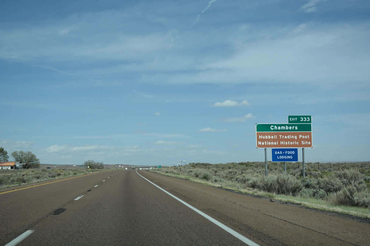
U.S. 191 northbound leads to Chambers and the Hubbell Trading Post National Historic Site.
04/27/17
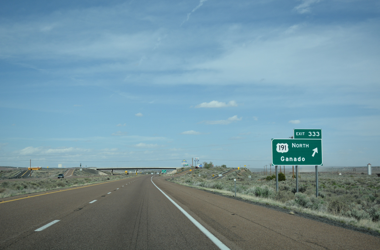
Exit 333 parts ways from Interstate 40 east for U.S. 191 north to Ganado and Canyon De Chelly National Monument.
04/27/17
East  South
South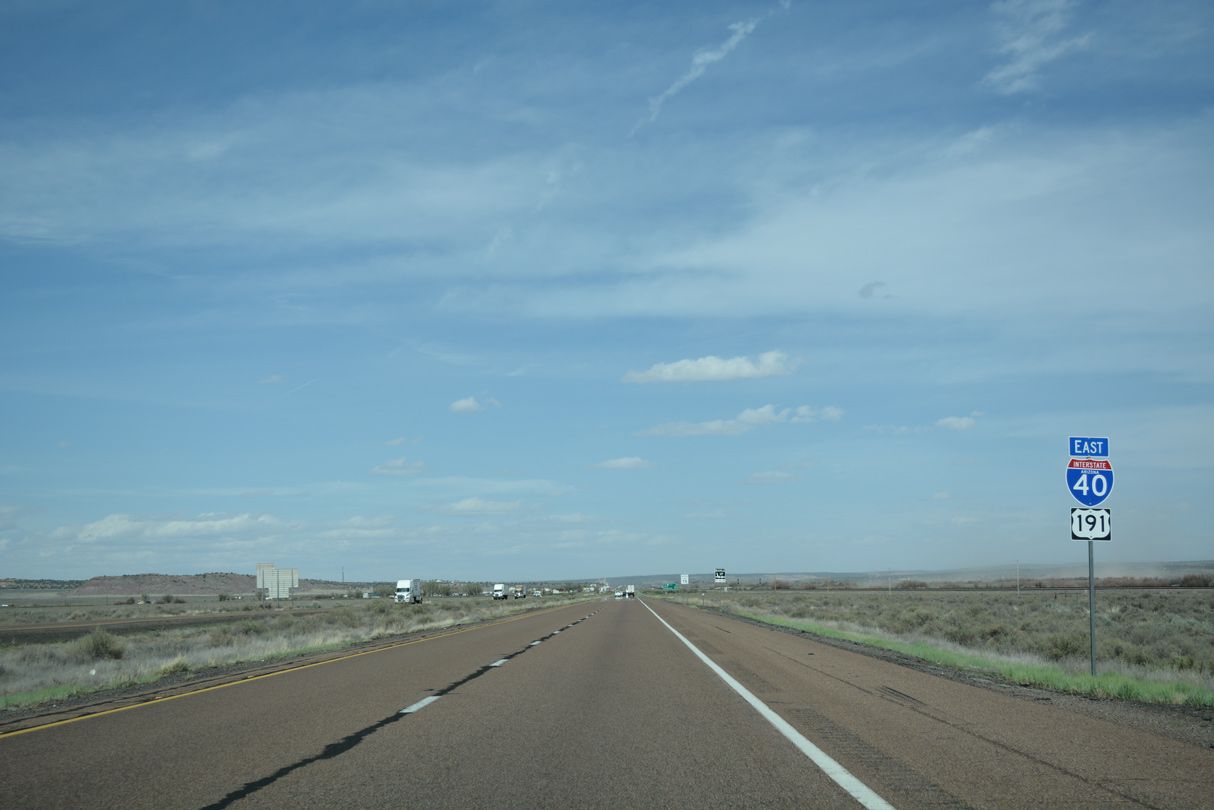
04/27/17
04/27/17
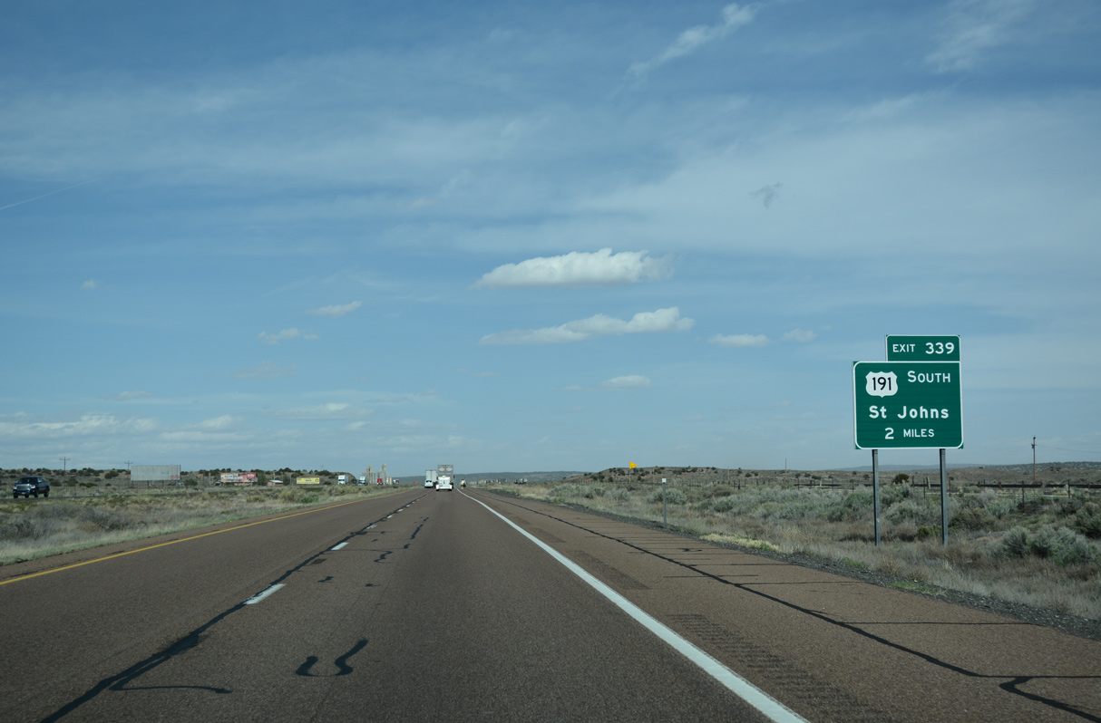
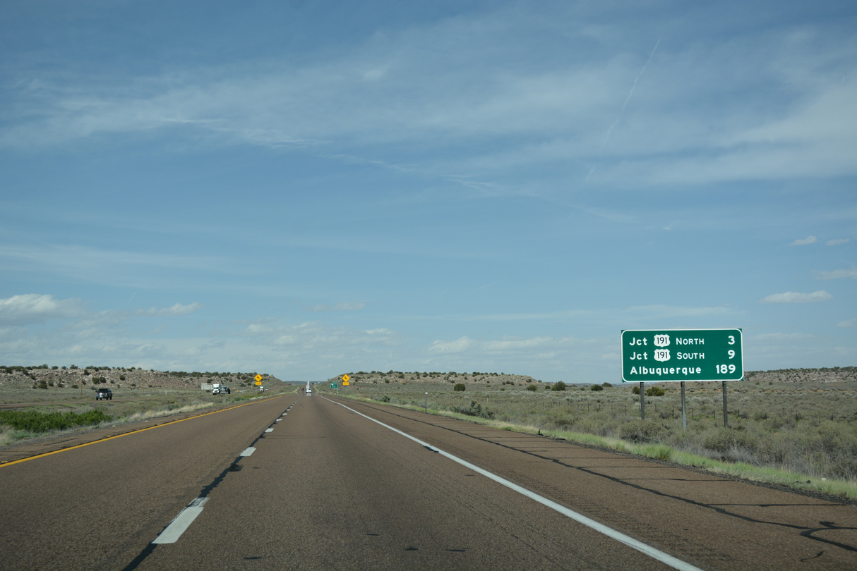
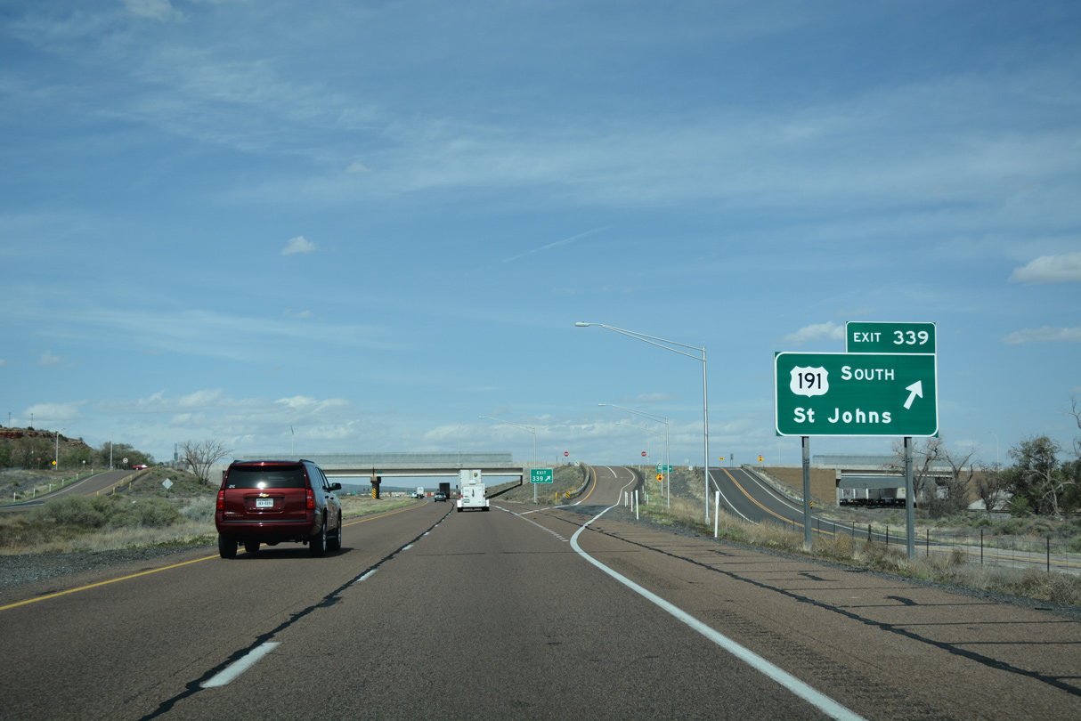
U.S. 191 south overlaps with Interstate 40 east 6.20 miles to Exit 339 at Sanders.
04/27/17
04/27/17

U.S. 191 travels south from Exit 339 to St. Johns and Springerville, and then onto the infamous Coronado Trail.
04/27/17
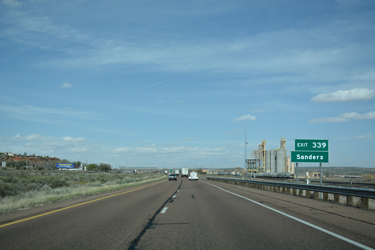
Sanders is an unincorporated community with a street grid south of the Rio Puerco and an elementary school north off Apache County Road 7080.
04/27/17
U.S. 191 travels 366 miles south from Exit 339 and Sanders to Douglas in southeastern Arizona.
04/27/17
East
The Sanders Port of Entry is just east of the diamond interchange at Exit 339.
04/27/17
04/27/17
04/27/17
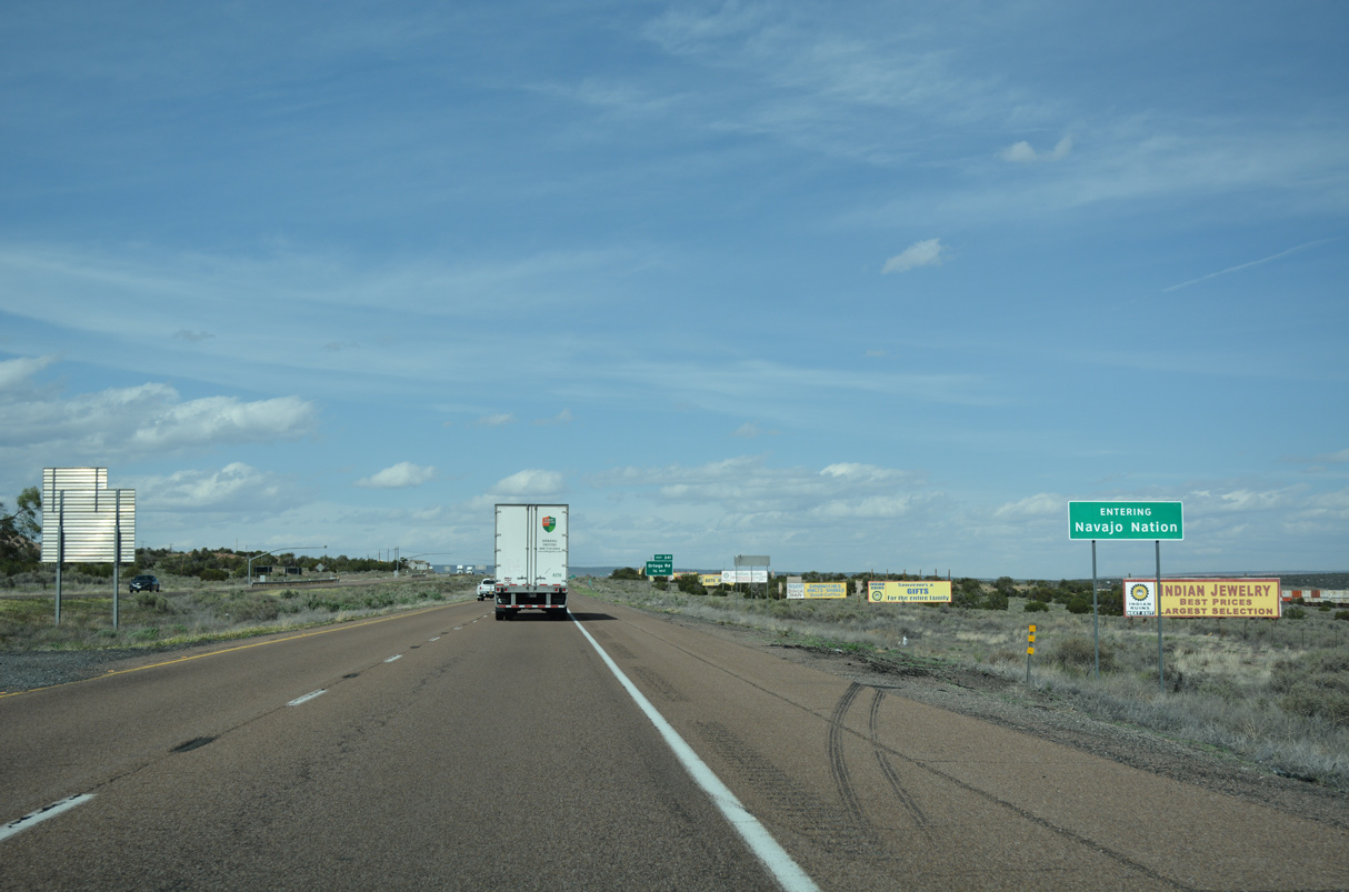
Interstate 40 east enters the Navajo Nation, after paralleling the southern boundary since Winona.
04/27/17
04/27/17
04/27/17
04/27/17
04/27/17
04/27/17
04/27/17
Interstate 40 descends northeast into the Rio Puerco Valley.
04/27/17
04/27/17
04/27/17
04/27/17
04/27/17
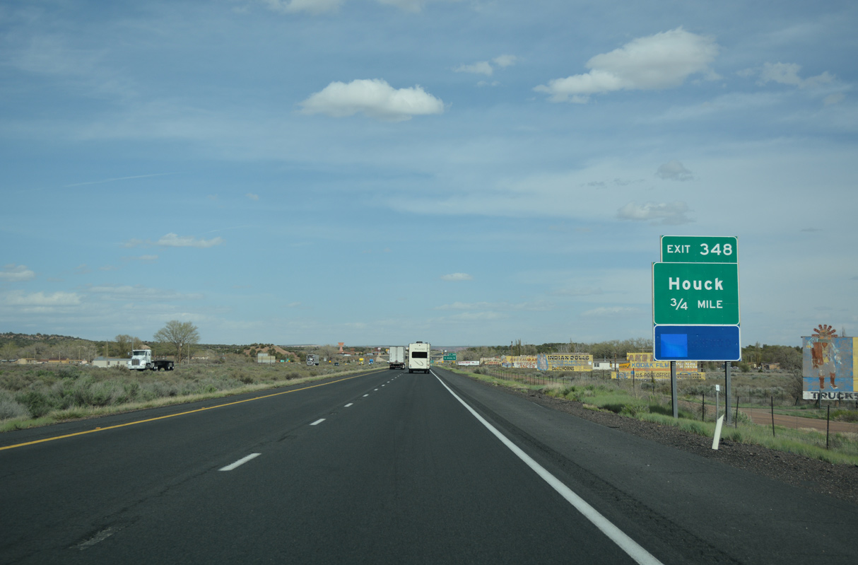
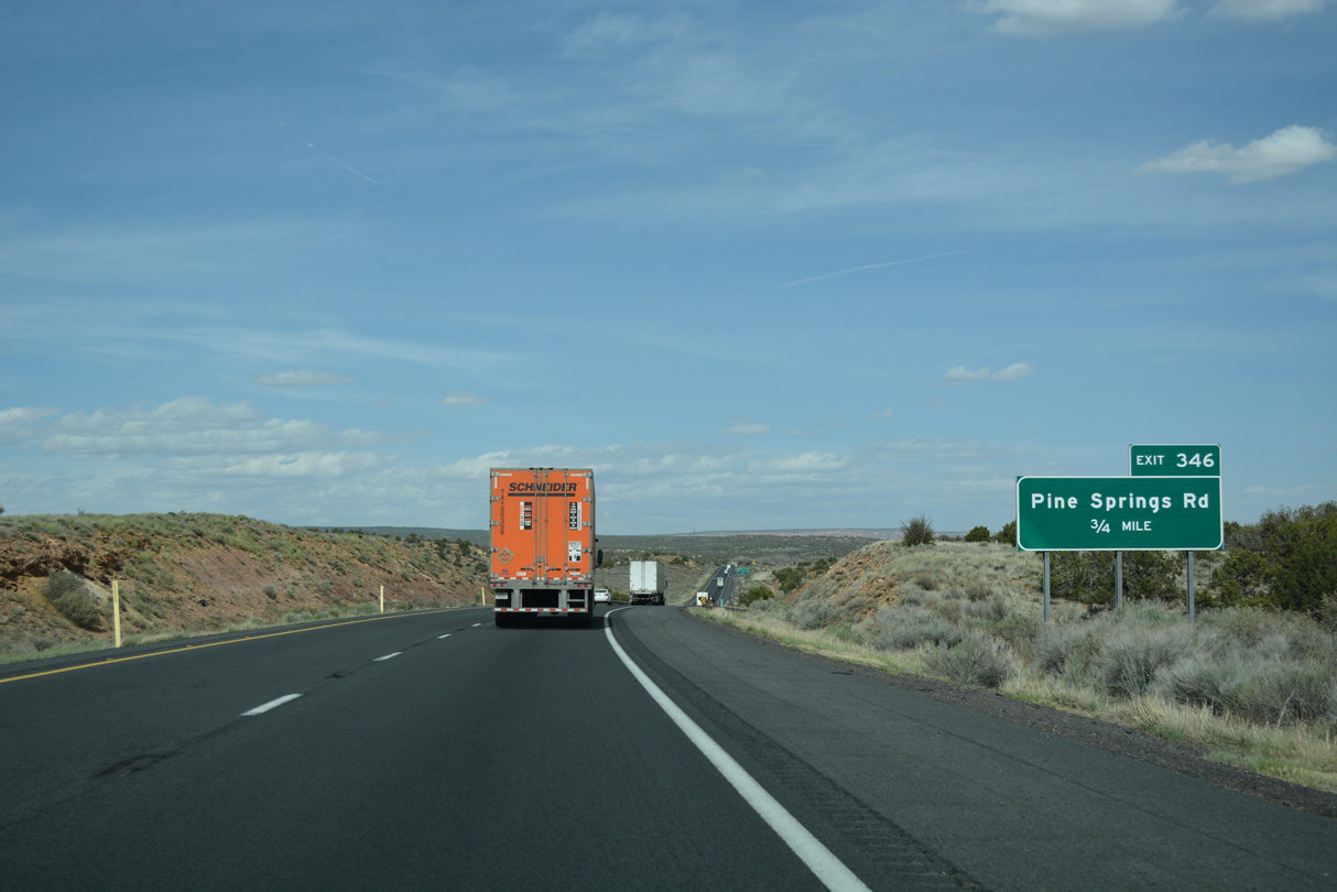
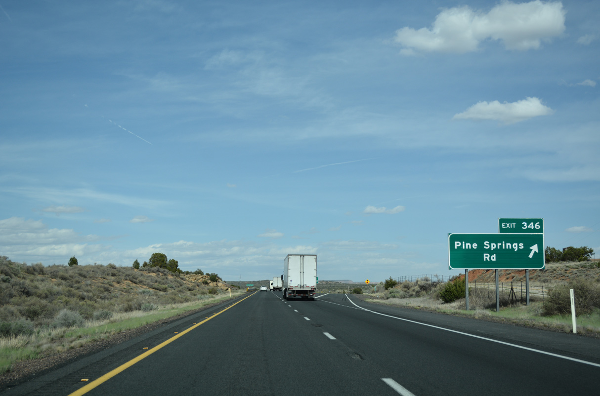
The community of Houck is the most populated place along Interstate 40 between Holbrook and the New Mexico state line.
04/27/17
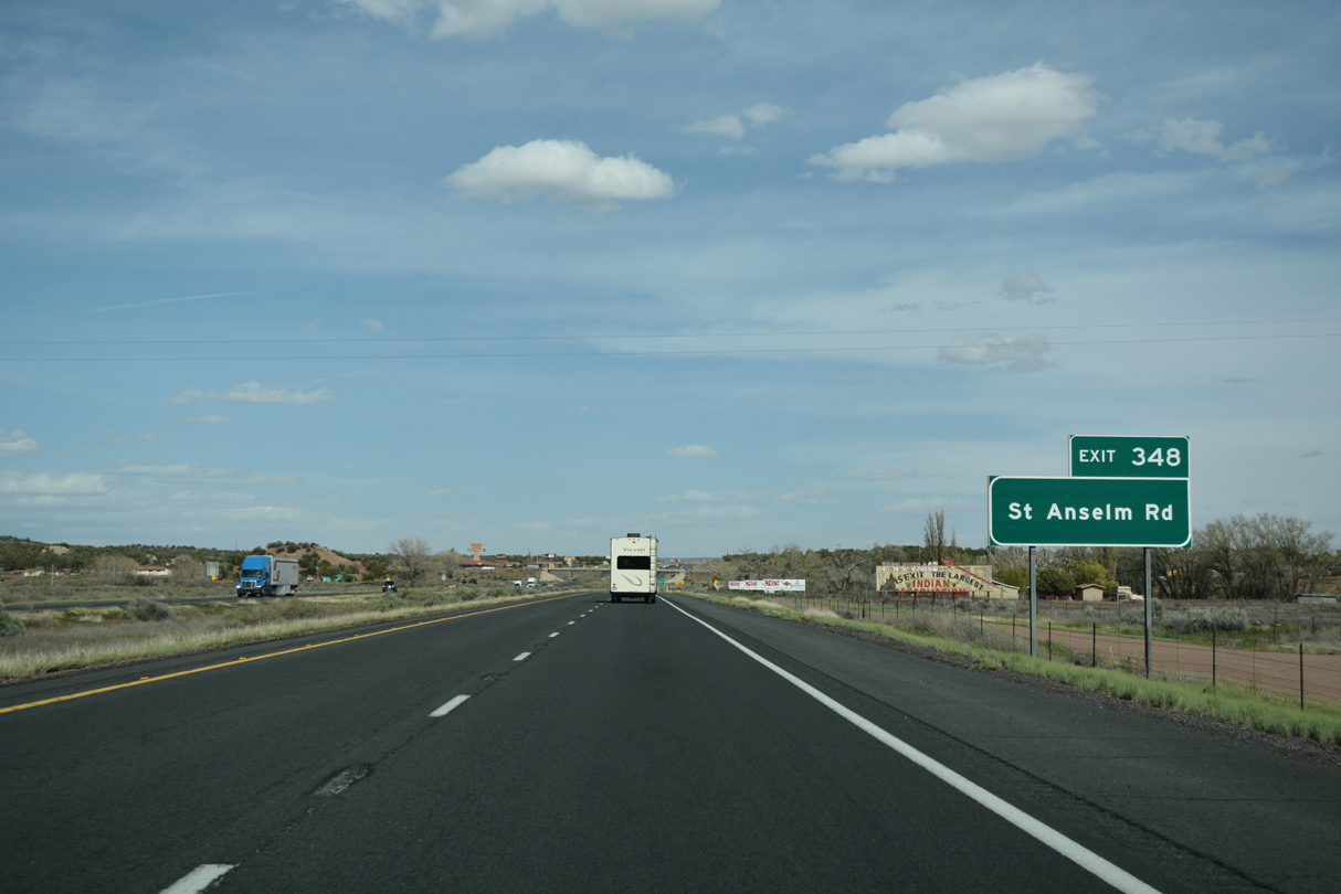
The diamond interchange at Exit 348 connects Interstate 40 with St. Anselem Road at Houck.
04/27/17
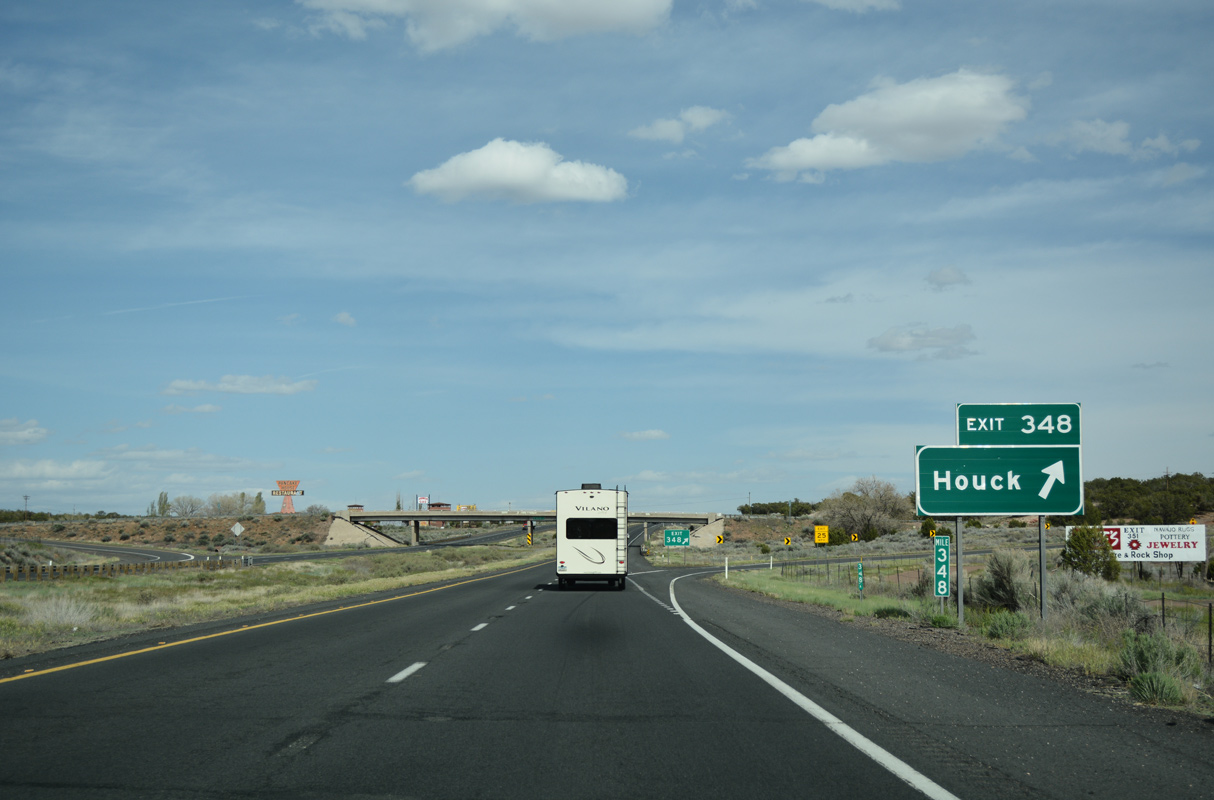
Houck is named after a former sheepherder who ran a trading post at this site between 1877-1885.
04/27/17
Just past Exit 348 is a long closed rest area.
04/27/17
04/27/17
04/27/17
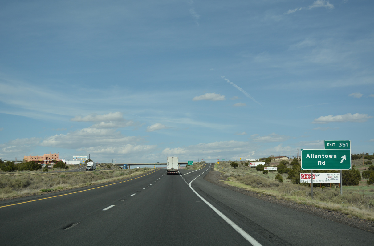
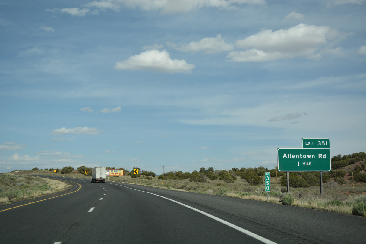
Exit 351 departs I-40 east for Allentown. Allantown, as it was called, is named after a former railroad construction worker.
04/27/17
04/27/17
04/27/17
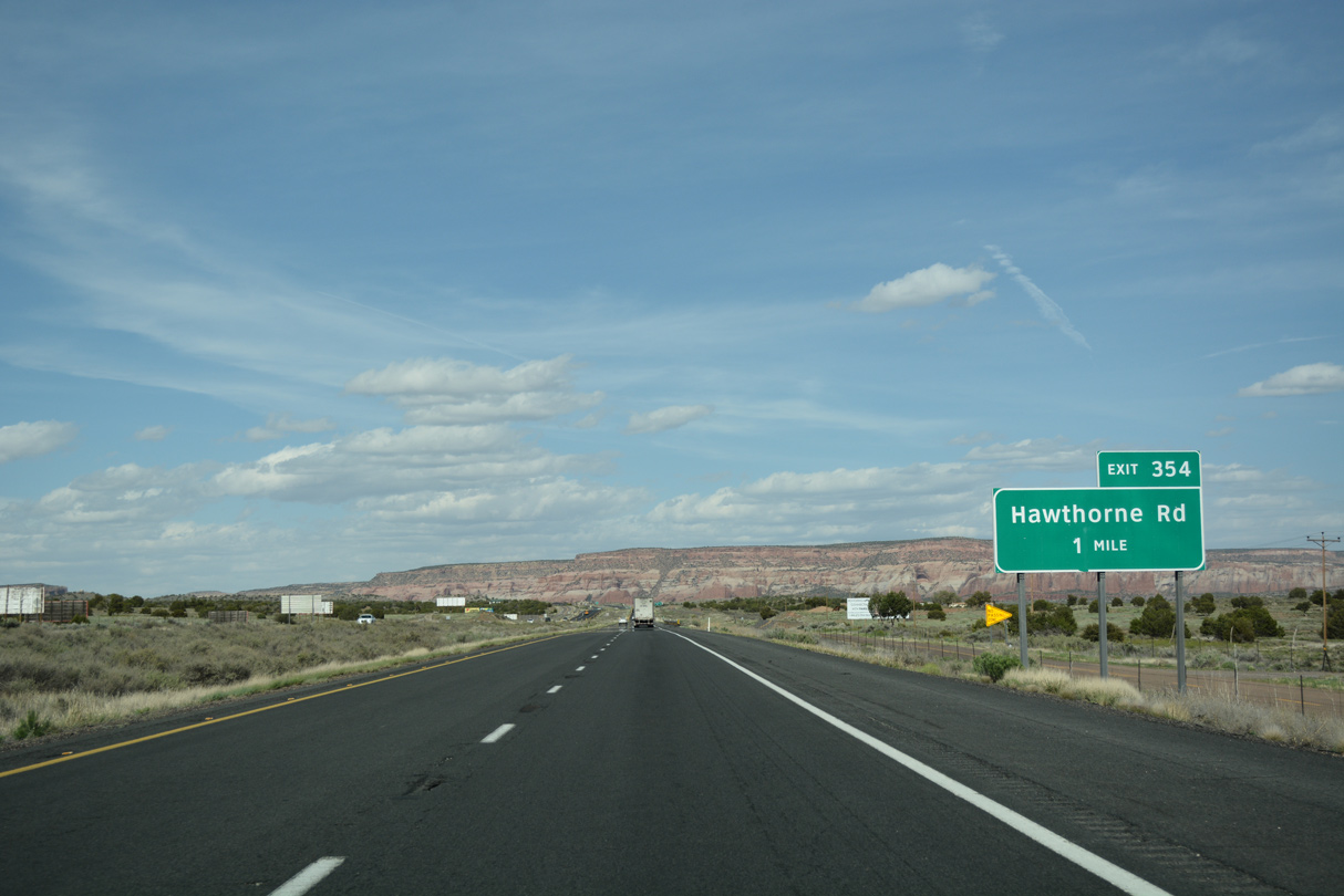
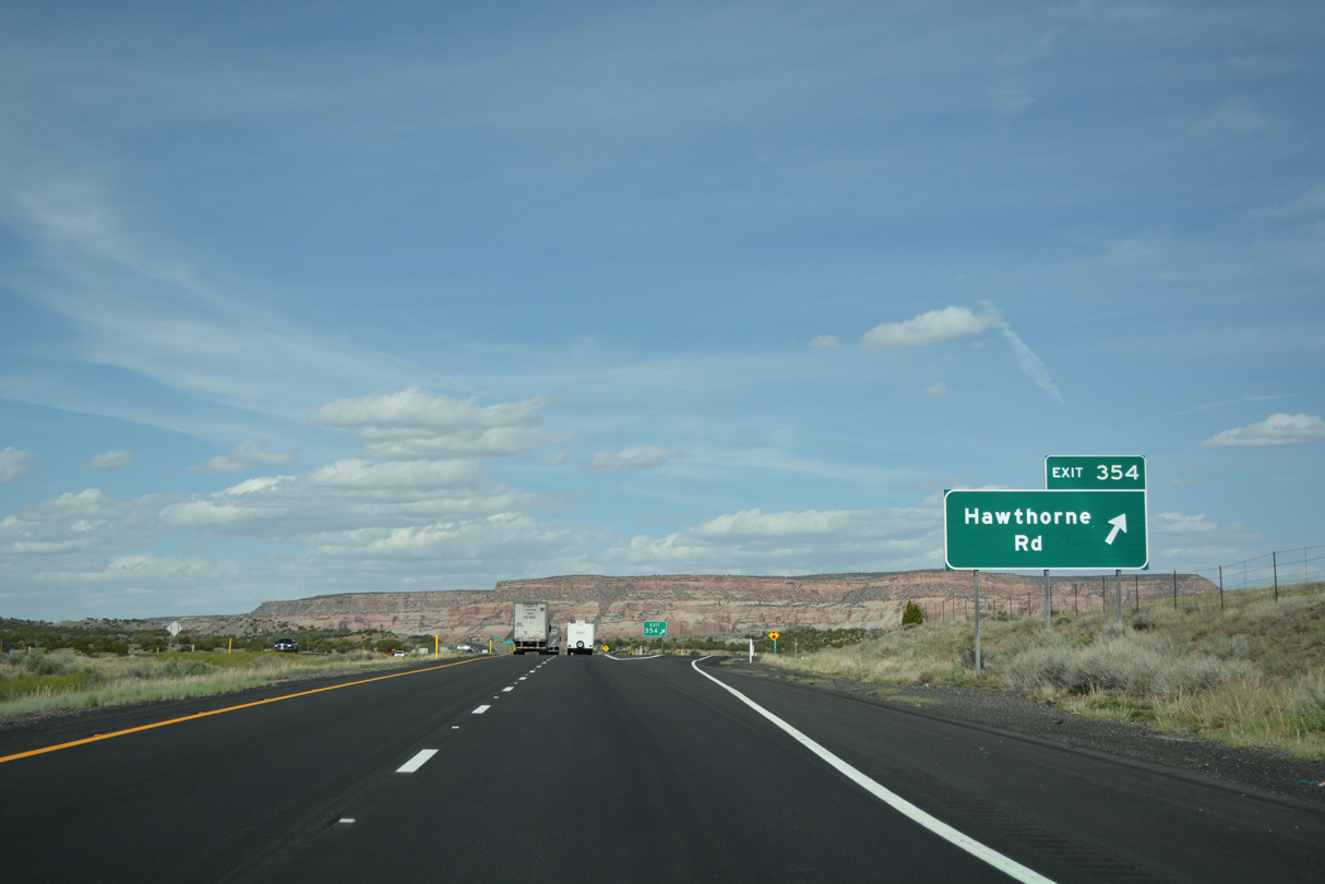
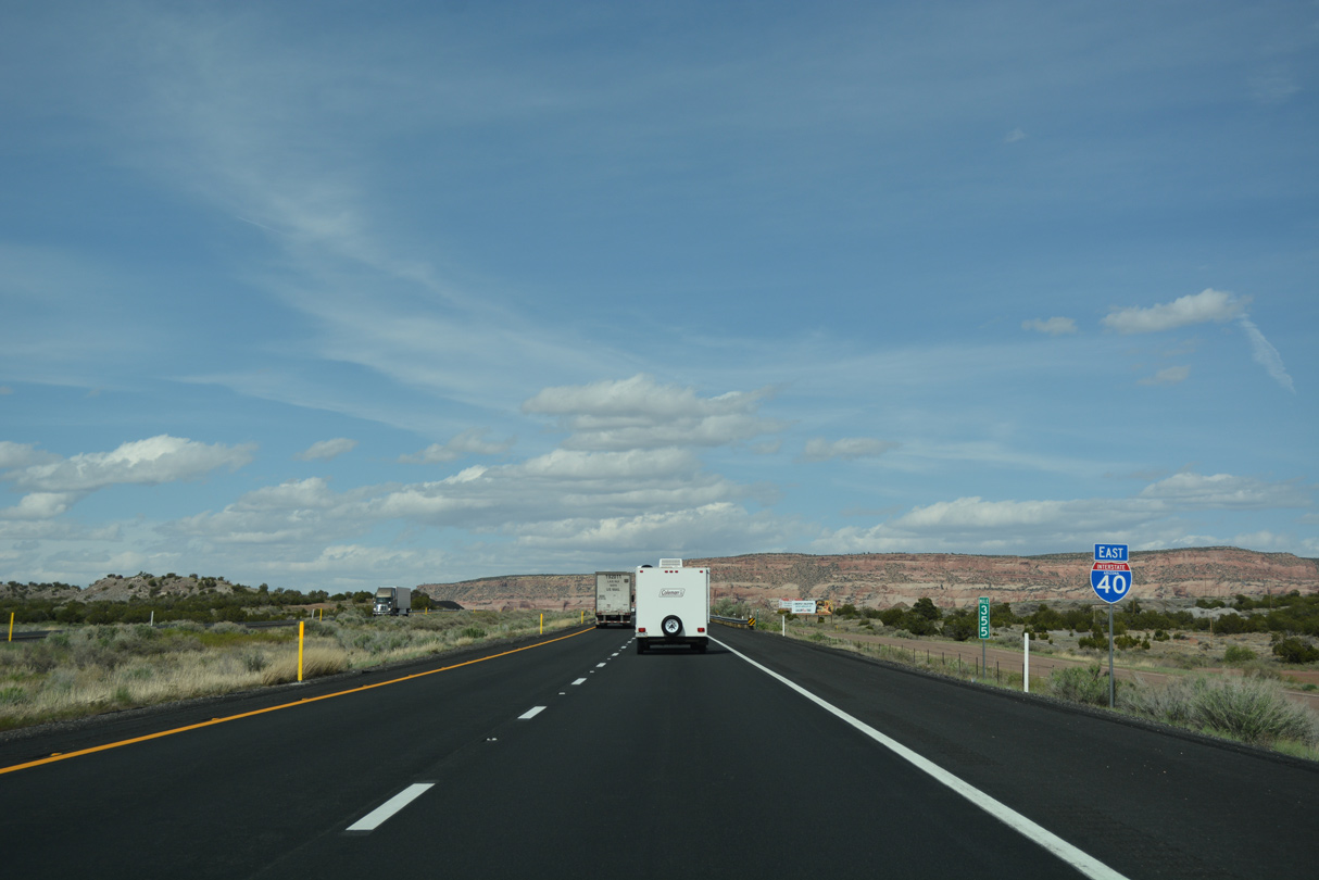
Hawthorne Road is the next in a series of exits along Interstate 40 serving small settlements.
04/27/17
04/27/17
04/27/17
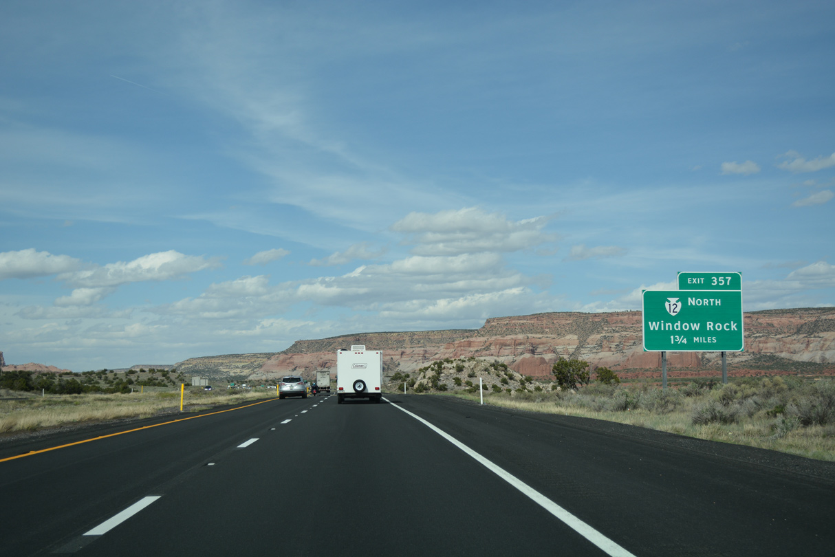
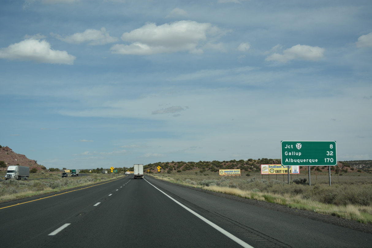
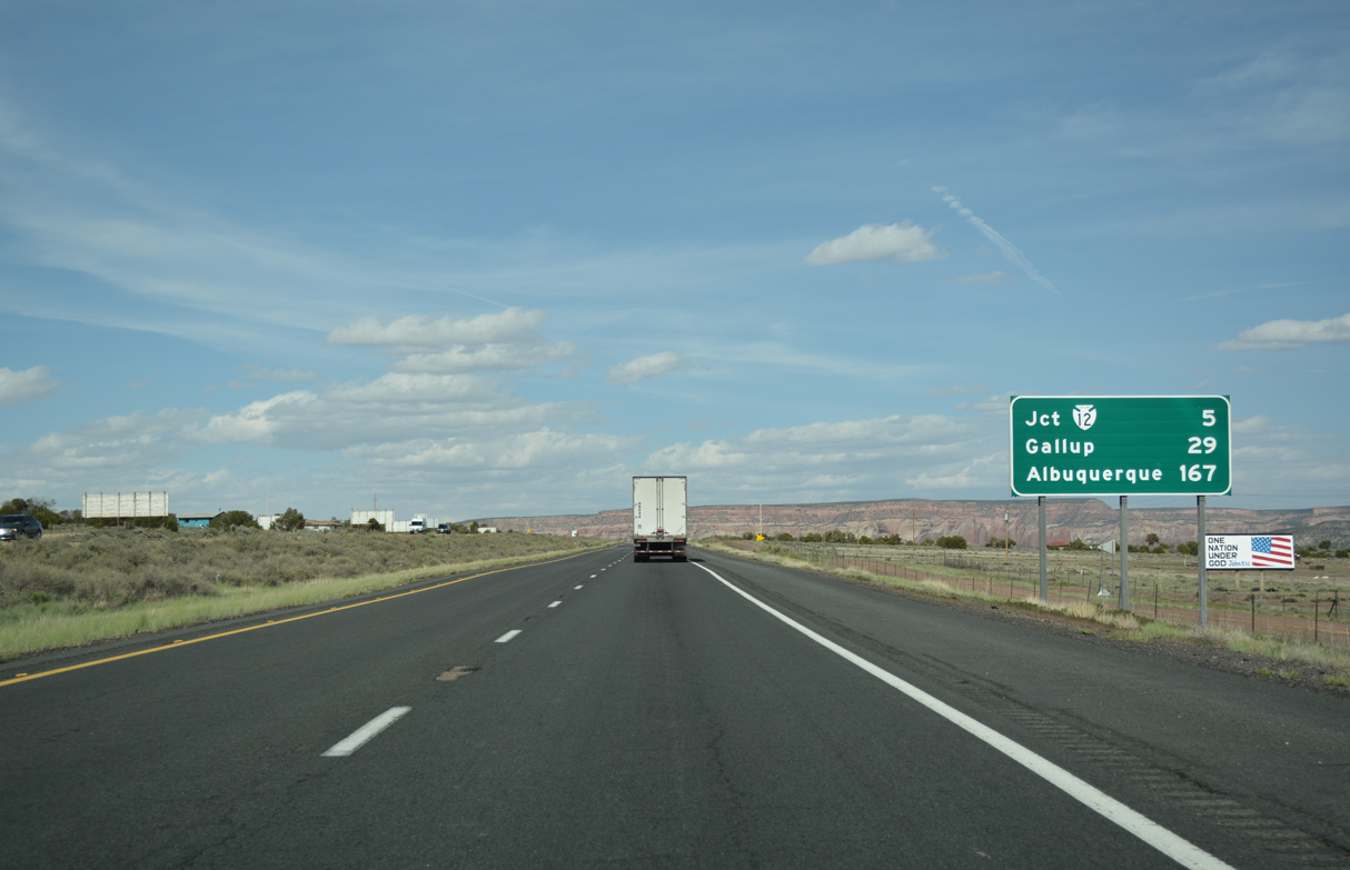
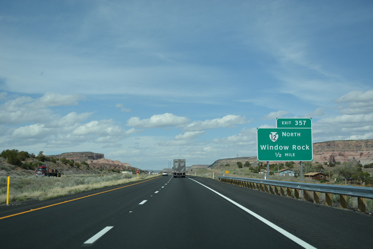
Continuing northeast, I-40 meets Indian Route 12 north at a diamond interchange (Exit 357) adjacent to old U.S. 66.
04/27/17
04/27/17
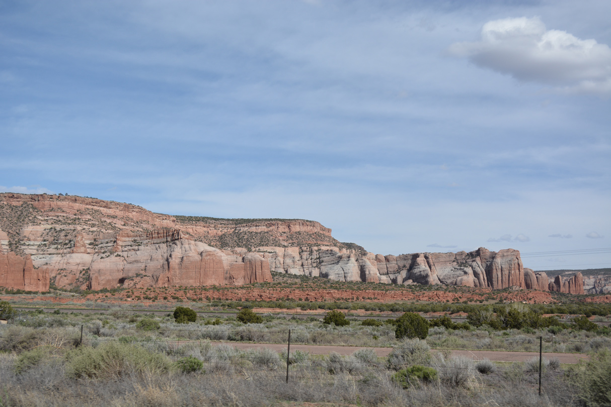
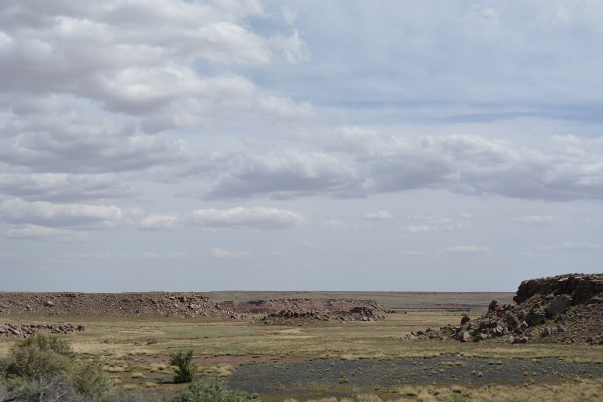
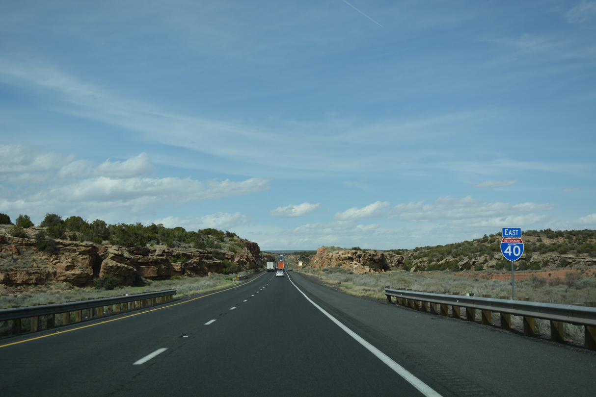
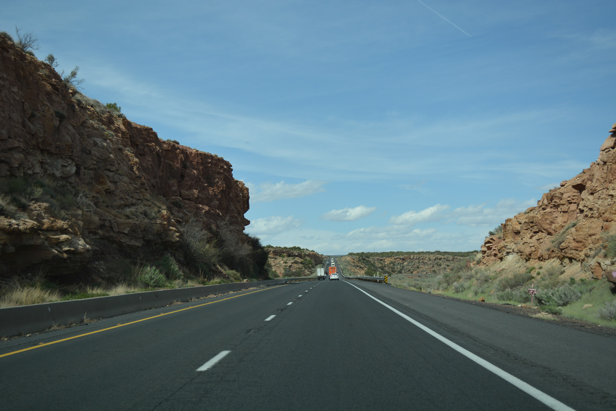
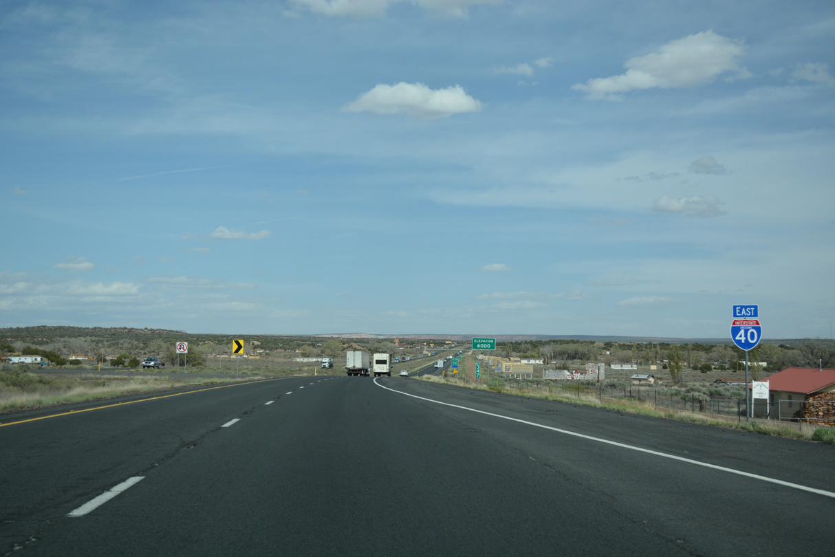
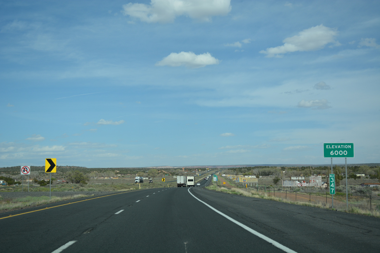
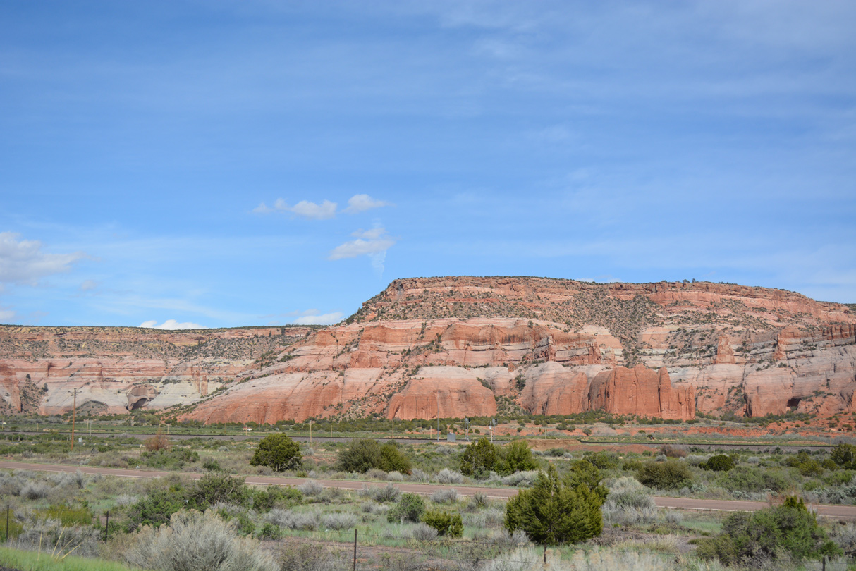
The bluffs and mesas of far eastern Arizona make this section of Interstate 40 quite scenic.
04/27/17
04/27/17

04/27/17
04/27/17
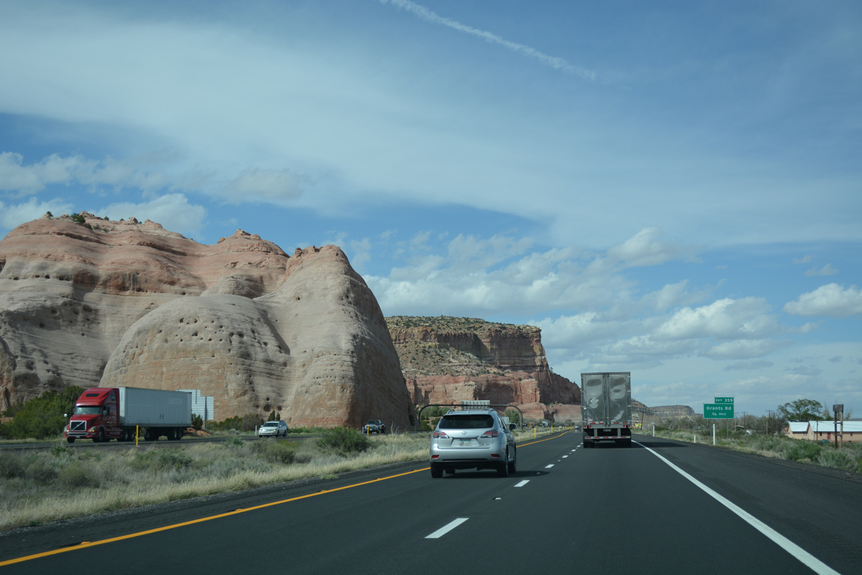
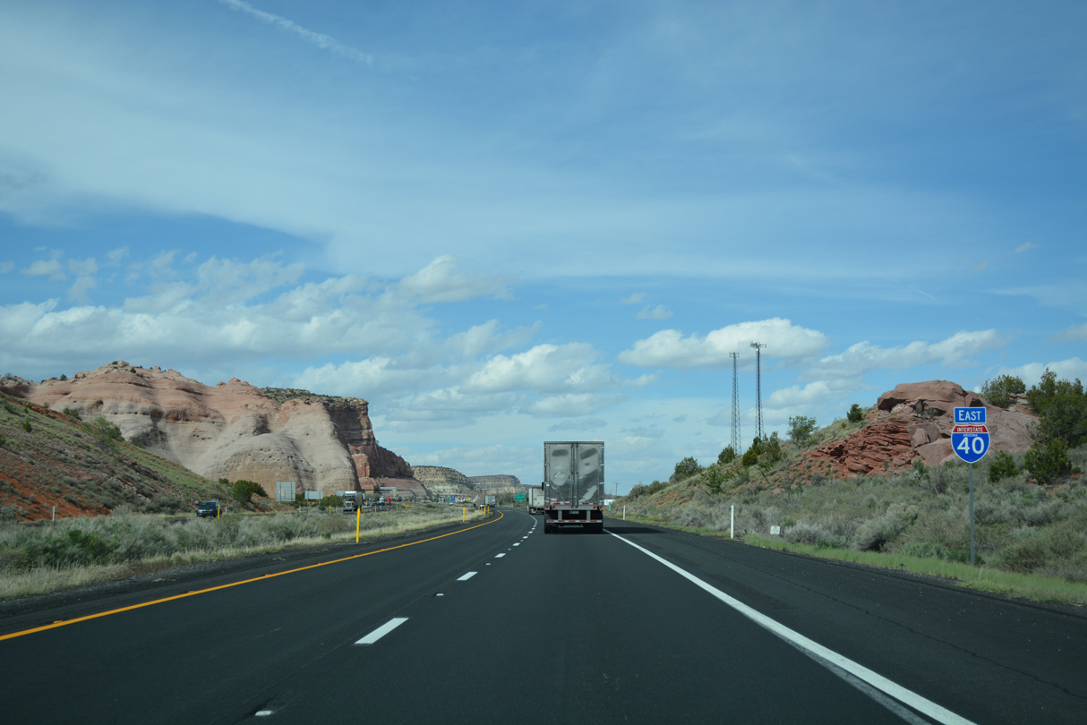
The 300 foot high sandstone bluffs are quite dramatic and memorable along this section of Interstate 40.
04/27/17
04/27/17
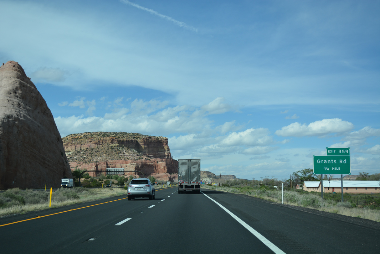
Historic U.S. 66 parallels Interstate 40 between Exit 357 and 359 through Lupton.
04/27/17
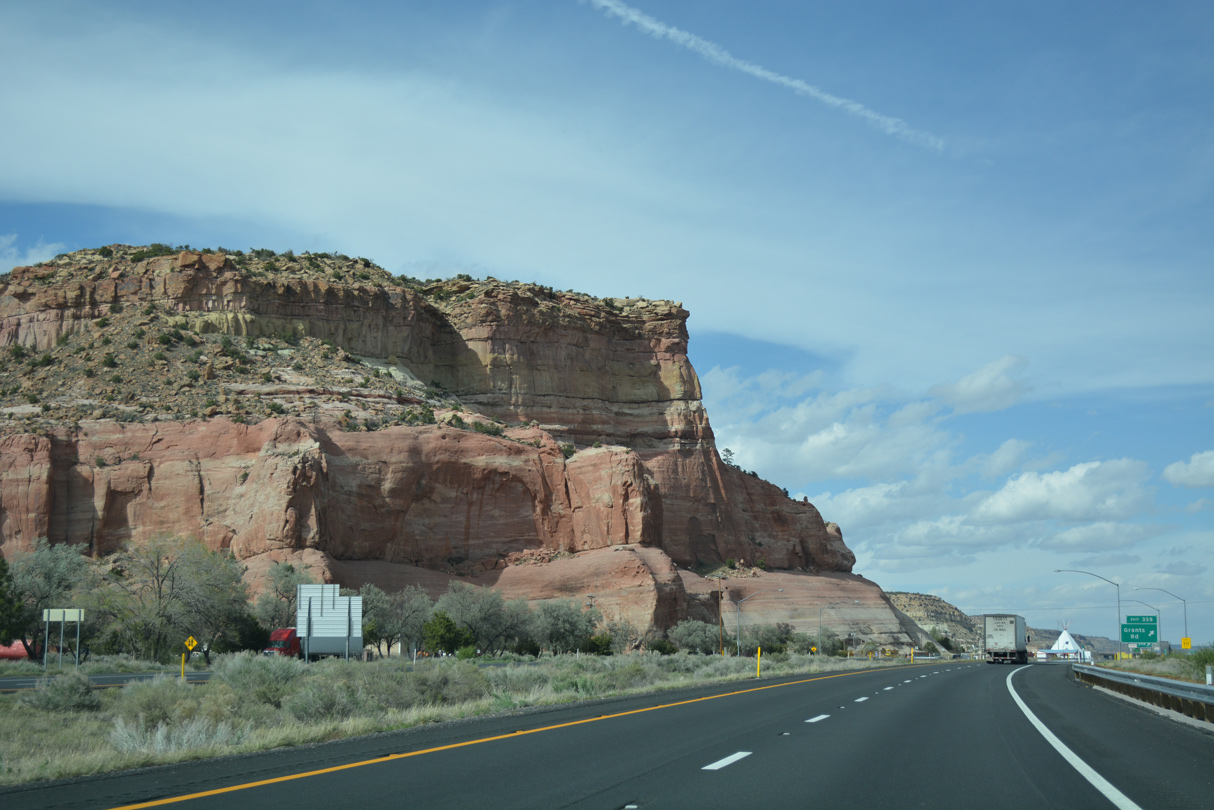
04/27/17
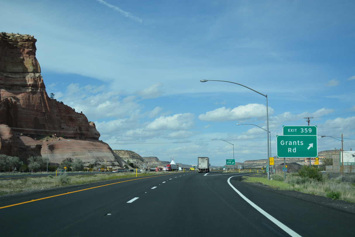
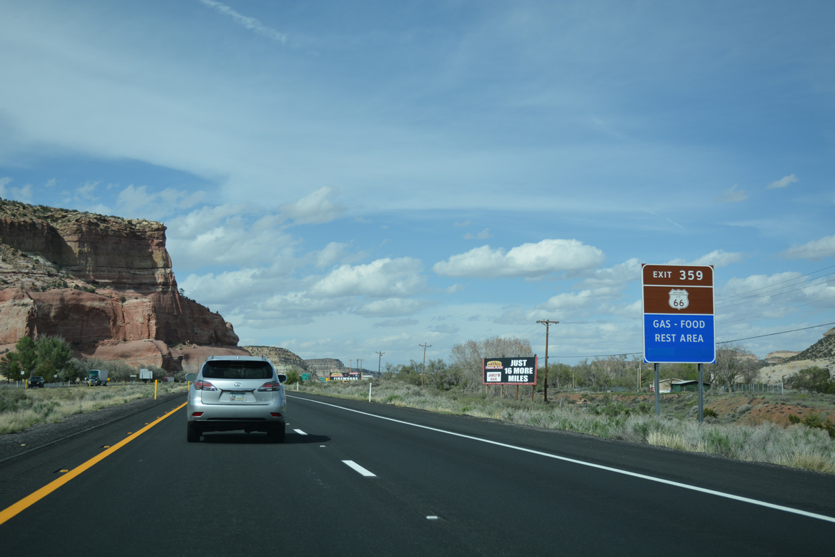
The modified diamond interchange (Exit 359) at Lupton is the last exit along I-40 east inside Arizona.
04/27/17
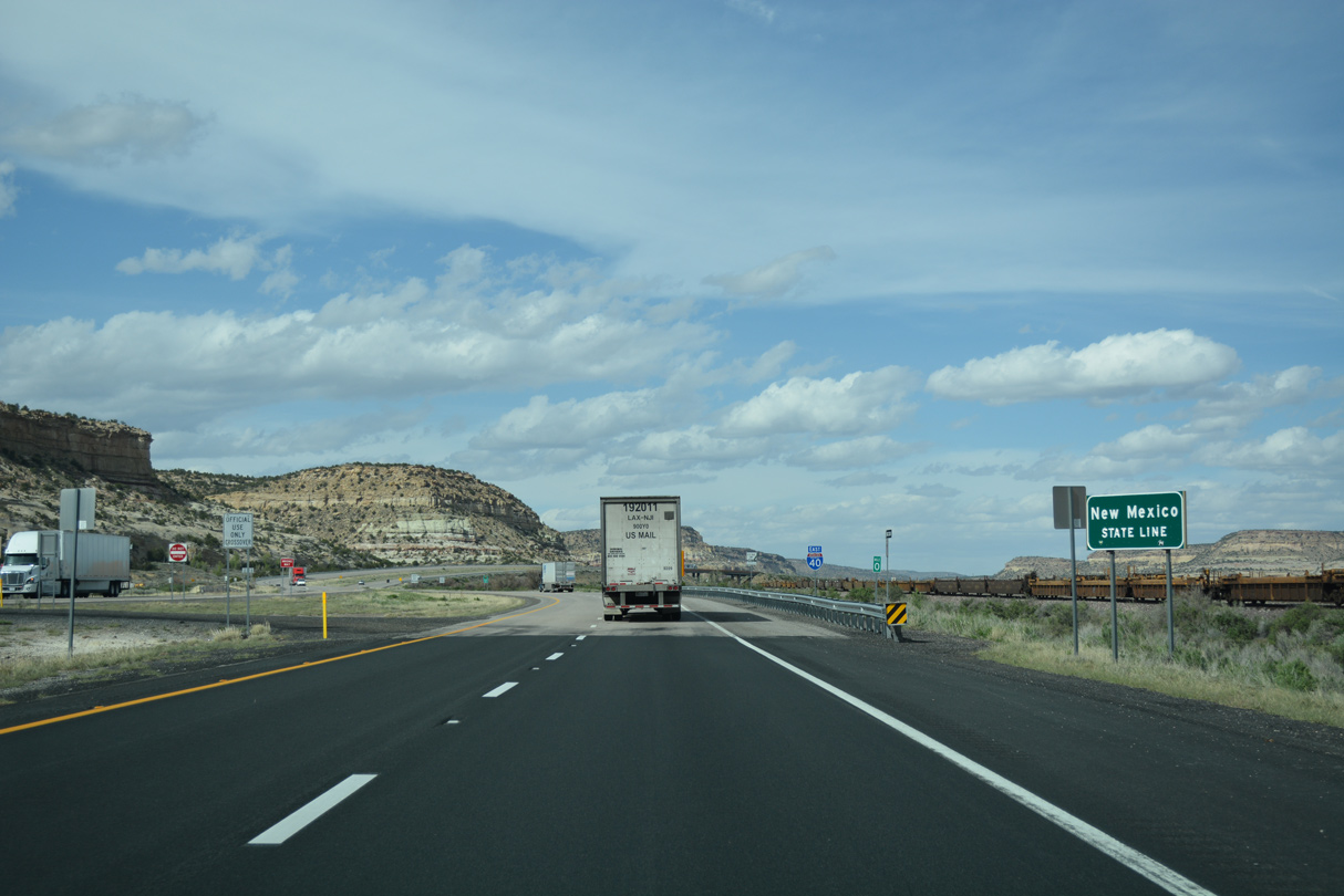
Interstate 40 enters the Land of Enchantment adjacent to NM 118 (Historic U.S. 66), the BNSF Railroad and Puerco River.
04/27/17
Photo Credits:
06/28/08, 04/27/17 by AARoads
Connect with:
U.S. 191
Page Updated 04-01-2022.