|
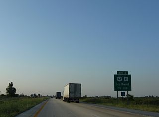
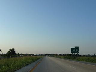
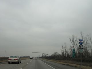
| U.S. 61 angles northeast from Yarbro, Arkansas to run beside I-55 near the diamond interchange (Exit 1) with Route O. 08/07/10 |
|
| U.S. 61 continues north from Route O, 2.5 miles to Holland, a city of around 250. Route O runs east across farm land to Route DD, southwest of Tyler. 08/07/10 |
|
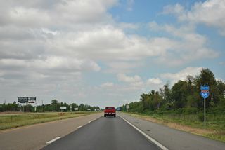
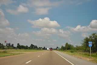
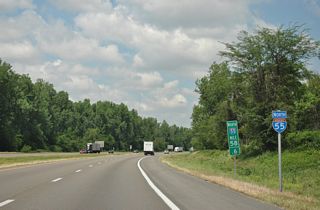
| Curving northeast, the first reassurance marker for Interstate 55 in Missouri precedes Belle Fountain Ditch. 08/07/10 |
|
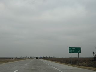
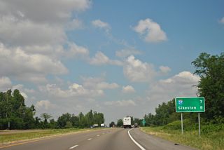
| Sikeston is the next city of interest along Interstate 55, beyond the junction with I-57 in 65 miles. St. Louis is 207 miles to the north northwest. 12/19/09 |
|
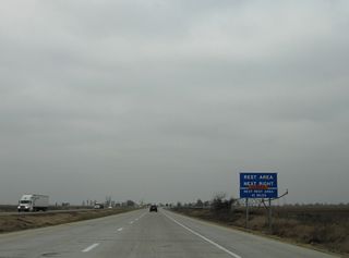
| Closed at the time of this photo, the Steele Rest area includes north and southbound facilities alongside Interstate 55. The rest areas were closed several times in recent years due to a number of issues including inclement winter weather, power outages and sewer problems. 12/19/09 |
|
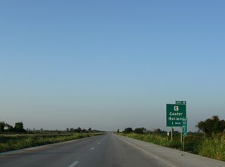
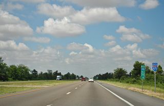
| The succeding exit joins Interstate 55 north with Route E midway between Holland and the city of Cooter. 08/07/10 |
|
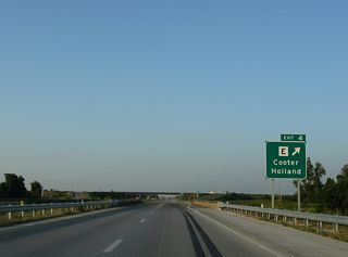
| A diamond interchange joins I-55 with Route E at Exit 4. Route E ends at U.S. 61 and 4th Street in Holland to the west and at Cottonwood Point (Route 164) to the east. 08/07/10 |
|
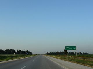
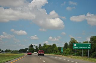
| Steele, a city of over 2,250, is the next destination along Interstate 55 north. Cape Girardeau replaces both Sikeston and St. Louis on this northbound distance sign posted 91 miles south of the city. 08/07/10 |
|
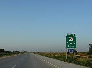
| A frontage road parallels Interstate 55 northeast from Route E to the diamond interchange (Exit 8) with Missouri Route 164 in one mile. Route 164 ends 7.1 miles to the east at the Mississippi River near Route E. 08/07/10 |
|
| Steele provides the only services for the next 11 miles. Route 164 follows Walnut Street and U.S. 61 south into the nearby city before continuing to Steele Municipal Airport, Hornersville and U.S. 412 near Cardwell. 08/07/10 |
|
| The original construction of Interstate 55 cut across the previous stair step alignment taking U.S. 61 northeast from Steele and Acorn Corner to Hayti. U.S. 61 and the Great River Road instead join the freeway northward. 12/19/09 |
|
| Routes J and U come together at a diamond interchange (Exit 14) wth I-55 in six miles. Sikeston replaces Cape Girardeau as the main control city for I-55 north in 59 miles. 12/19/09 |
|
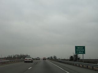
| Spanning Ditch Number 3 along Interstate 55 north, one mile from a pair of weigh stations. 12/19/09 |
|
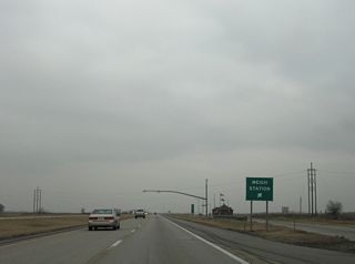
| The weigh stations were built alongside I-55 over the former U.S. 61 alignment, 1.75 miles north of Acorn Corner and a half mile south of the 90 degree turn east to circumvent Ditch Number 3. Old U.S. 61 (Route H) north defaults onto a east side frontage road north to Route U at Exit 14. West of I-55, old U.S. 61 follows CR 439 north to CR 444 and Route H. 12/19/09 |
|
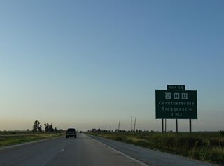
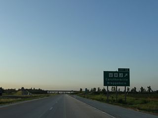
| Route H joins Route J/U on guide signs for Exit 14 on Interstate 55 north. Route J stems 4.4 miles west from the confluence to Shade and Braggadocio. 08/07/10 |
|
| Route U extends 5.1 miles east from Route J to Route 84 (Ward Avenue) in south Caruthersville. Route U also meets I-155/U.S. 412 at Exit 4. 08/07/10 |
|
| Interstate 55 directly replaced U.S. 61 from CR 444 north to a point 0.75 miles southwest of Interstate 155 and U.S. 412. Route J north from Exit 14 is old U.S. 61 along the west side frontage road to I-155. 12/19/09 |
|
| Northbound distance sign posted two miles south of the directional cloverleaf interchange with Interstate 155 east and U.S. 412 outside of Hayti. 08/07/10 |
|
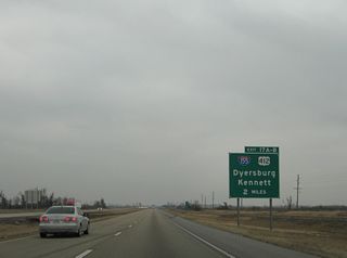
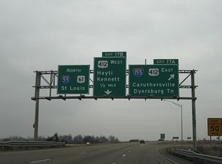
| Beginning at Exit 17 A, Interstate 155 travels southeast 26.77 miles from Hayti to Dyersburg, Tennessee. U.S. 412 accompanies the entire length of the freeway spur. 12/19/09 |
|
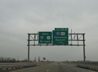
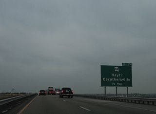
| One mile south of Exit 17 A to I-155/U.S. 412 east to Caruthersville. Westward, U.S. 412 constitutes an at-grade expressway with Missouri Route 84 to Kennett. 12/19/09 |
|
| I-155/U.S. 412 east links I-55/U.S. 61 with the future I-69 coridor between Dyersburg and Union City, Tennessee. Interstate 155 was constructed in the mid 1970s. U.S. 412 was established in 1982. 12/19/09 |
|
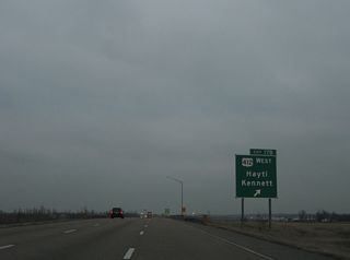
| A loop ramp follows onto U.S. 412 west to Kennett. Connections with old U.S. 61 (Route J) lead motorists north into Hayti, a city of 2,939 as of the 2010 census. 12/19/09 |
|
| I-55/U.S. 61 stay east of Hayti and cross CR 344 and an abandoned Burlington Northern Railroad line. Route J continues along old U.S. 61 through Hayti to become a west side frontage road for I-55 near the new welcome center at milepost 20. 12/19/09 |
|
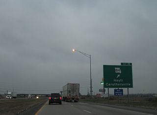
| Missouri Route 84 heads 4.5 miles northwest from Caruthersville to meet I-55/U.S. 61 at a diamond interchange (Exit 19) at Hayti. 12/19/09 |
|
| West from Exit 19, Route 84 follows Washington Street into the Hayti city center. Overall the state route runs 30 miles from the Arkansas state line west of Kennett to I-155/U.S. 412 at Exit 7. 12/19/09 |
|
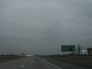
| 25 miles of agricultural land separate Hayti from New Madrid along I-55/U.S. 61 north. St. Louis is 190 miles to the north. 12/19/09 |
|
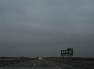
| Interstate 55 directly overlaid old U.S. 61 to Exit 27. Route K overtakes Route J as the west side frontage road from Concord north to Route A west and Route BB east. 12/19/09 |
|
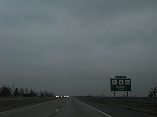
| Route A connects I-55/U.S. 61 with the small city of Wardell, 6.5 miles to the west of Exit 27. Route BB drops south along the east side of I-55 one mile to an eastern turn en route to County Road 332. 12/19/09 |
|
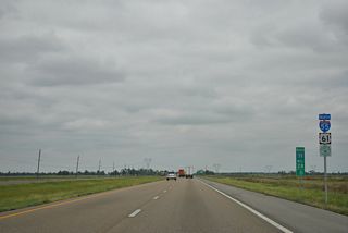
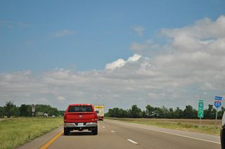
| I-55/U.S. 61 confirming markers posted north of the entrance ramp from Highway A. The freeway traverses farm land ahead of a transmission line corridor. 05/03/12 |
|
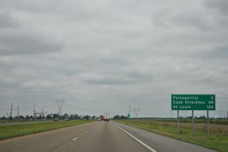
| I-55/U.S. 61 travel five miles to separate at Portageville. Cape Girardeau is an hour drive away.
A sign replacement made between 2009 and 2012 added St. Louis - 182 miles. 05/03/12 |
|
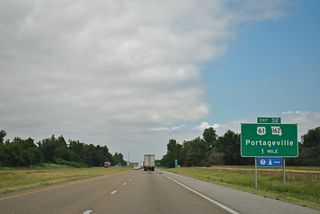
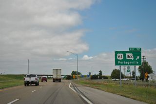
| I-55/U.S. 61 shift eastward ahead of the Route T overpass and the diamond interchange (Exit 32) with Main Street and Missouri Route 162. Route T overtakes the old U.S. 61 alignment northward into Portageville. 05/03/12 |
|
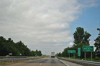
| Spanning Portage Open Bay, northbound travelers enter New Madrid County. New Madrid was named after Madrid, Spain from when the area was under Spanish rule. The county is best known for the New Madrid Fault and a series of earthquakes from 1811 and 1812. 06/03/12 |
|
| U.S. 61 overlaps with Route 162 (Main Street) into Portageville, rejoining its original alignment 0.75 miles west of Exit 32.
29.77 miles in length, Route 162 concludes at the Mississippi River by Riddles Point to the east and at Route 25 in Clarkton, 18.7 miles to the west. 05/03/12 |
|
| Interstate 55 angles northeast from Portageville with U.S. 61 paralleling a Burlington Northern Railroad to the west. 05/03/12 |
|
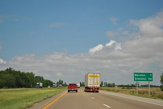
| Northbound I-55 reaches Marston in seven miles and Sikeston in 34 miles. 05/03/12 |
|
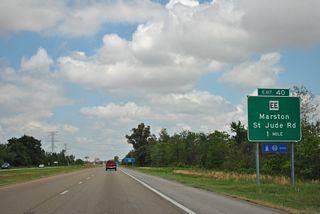
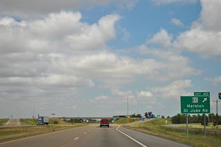
| A diamond interchange (Exit 40) joins Interstate 55 with Route EE (Elm Street) at the city of Marston in one mile. 05/03/12 |
|
| Route EE follows Elm Street west 0.7 miles from Exit 40 to U.S. 61 (Lewis Street) and east to St. Jude Road and St. Jude Industrial Park. 05/03/13 |
|
| Leaving the city of Marston, Interstate 55 travels the closest to the Mississippi River in Missouri over the next several miles. 05/03/12 |
|
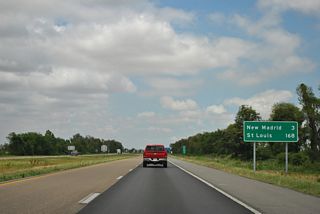
| New Madrid, the county seat, is the next northbound exit in three miles. St. Louis follows in 168 miles. 05/03/12 |
|
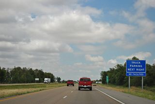
| What was the northbound welcome center, since relocated to a new facility by Hayti, was converted to a truck parking area after 2009. 06/03/12 |
|
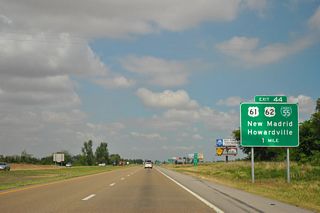
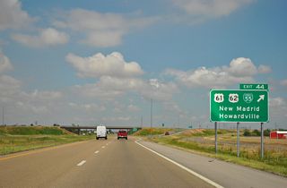
| U.S. 61 travels north from Marston to combine with U.S. 62 east from Malden ahead of Howardsville. The two routes continue from the small city to a diamond interchange (Exit 44) with Interstate 55. There Business Loop I-55 begins and joins U.S. 61/62 east into New Madrid. 05/03/12 |
|
| Business Loop I-55/U.S. 61-62 loop east into New Madrid between Exits 44 and 49. The 5.75 mile business route follows an older bypass of the original Kingshighway alignment through the city street grid. 05/03/12 |
|
| Interstate 55 north lines the western edge of the New Madrid city limits to the Highway U overpass. 05/03/12 |
|
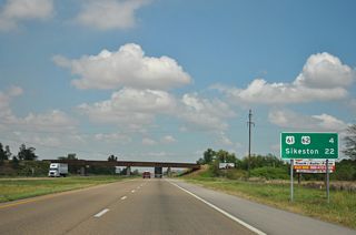
| A Southern Pacific Railroad line passes over Interstate 55 beyond this distance sign posted 22 miles south of Sikeston. The railroad line spurs east from Lilbourn to New Madrid. 05/03/12 |
|
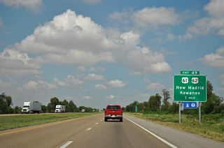
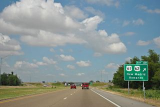
| U.S. 61/62 and Business Loop I-55 continue 2.5 miles north from Dawson Road (Route U) and New Madrid to the diamond interchange at Exit 49. 05/03/12 |
|
| U.S. 61/62 stay west of Interstate 55 from the former railroad siding of Ristine northward along Sikeston Ridge to the city of Sikeston. U.S. 61/62 provide a cutoff to Highway W west for Kewanee. 05/03/12 |
|
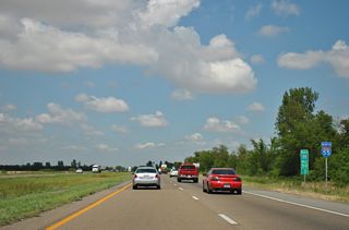
| Interstate 55 turns north after Exit 49. 05/03/12 |
|
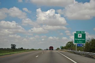
| Cape Girardeau returns to I-55 northbound distance signs, 46 miles out. Highway P is the next exit in two miles near La Forge. 05/03/12 |
|
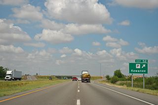
| Exit 52 joins Interstate 55 with Route P, two miles east of Kewanee, an unincorporated settlement west of parallel U.S. 61/62. 05/03/12 |
|
| Highway P travels 14.16 miles overall. The route leads east from U.S. 61/62 to the Birds Point New Madrid Levee and a southwesterly turn along the New Madrid Floodway to Highway WW. 05/03/12 |
|
| Interstate 55 travels along a section line for the next two miles along an otherwise straight away leading to Exit 58. 05/03/12 |
|
| St. Louis is again referenced on this distance sign five miles south of Route 80. The Gateway to the West is 157 miles to the northwest. 05/03/12 |
|
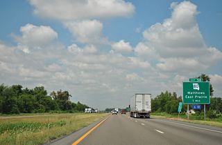
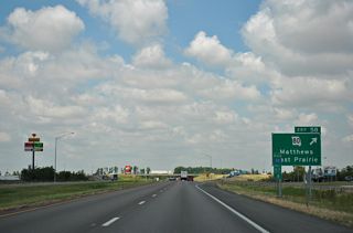
| Missouri Route 80 crosses paths with Interstate 55 at a diamond interchange (Exit 58) east of Matthews and west of East Prairie. 05/03/12 |
|
| Route 80 travels 27.30 miles from U.S. 61/62 and Highway H nearby to the Mississippi River at Belmont Landing. The east end lies across from Kentucky Highway 80, which is a part of a longer multinstate route with Virginia State Route 80 to U.S. 11. There is no connection between the KY and MO routes since the Belmont-Columbus Ferry ceased operations.1 05/03/12 |
|
| Interstate 55 shifts eastward and crosses St. Johns Ditch before resuming a northward heading east of Sikeston Ridge. 05/03/12 |
|
| I-55 and I-57 come together in seven miles on the southeast side of Sikeston. 05/03/12 |
|
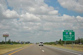
| Two miles south of cloverleaf interchange (Exits 66A/B) with Interstate 57 north and U.S. 60 on I-55 north. 05/03/12 |
|
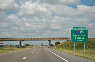
| Parallel Highway AA spans Interstate 55 one mile south of I-57 north and U.S. 60. Interstate 57 travels 386 miles north to Cairo, Mount Vernon, Effingham, Champaign, Kankakee and Chicago, Illinois. 05/03/12 |
|
| I-57/U.S. 60 overlap 13 miles from Sikeston to U.S. 62 (Marshall Street) on the east side of Charleston. U.S. 60 combines with U.S. 62 east from there to Wilson City and Cairo, Illinois. 05/03/12 |
|
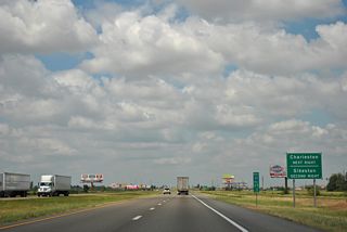
| Exit 66A leaves Interstate 55 north for I-57/U.S. 60 east. Beyond Charleston, I-57 turns northward to cross the Mississippi River ahead of Cairo and Mound City, Illinois. 05/03/12 |
|
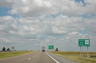
| The 34.01 mile stretch of Interstate 55 through New Madrid County concludes at the cloverleaf interchange (Exit 66) with I-57 and the Scott County line. Exit 66 B connects with U.S. 60 along an expressway bypass of Sikeston west to Morehouse, Dexter and Poplar Bluff. 05/03/12 |
Page Updated 11-18-2013.
 North
North
 North
North North
North
