|
| Roadways of Interstate 57 reconvene ahead of the Jefferson County Route 10 (Richview Road) overpass. 05/27/11 |
|
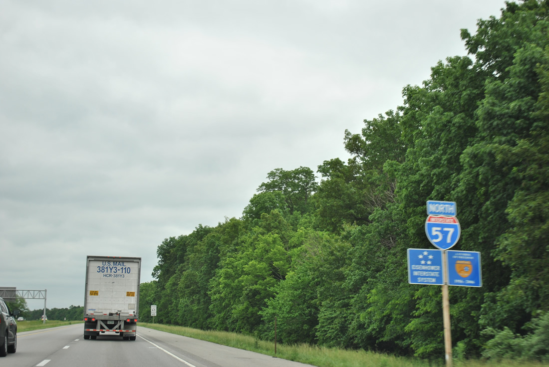
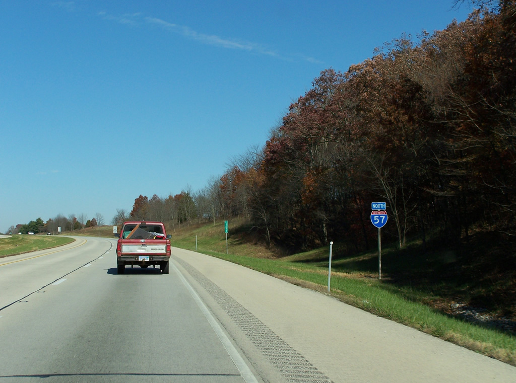
| A second reassurance shield assembly of Interstate 57 coincides with shields for the Eisenhower Interstate System and the 50 year anniversary of the Interstate system (1956-2006). 05/27/11 |
|
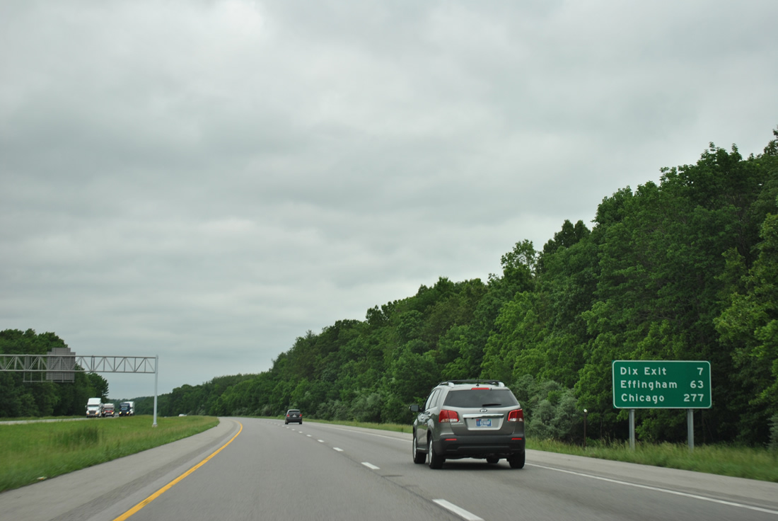
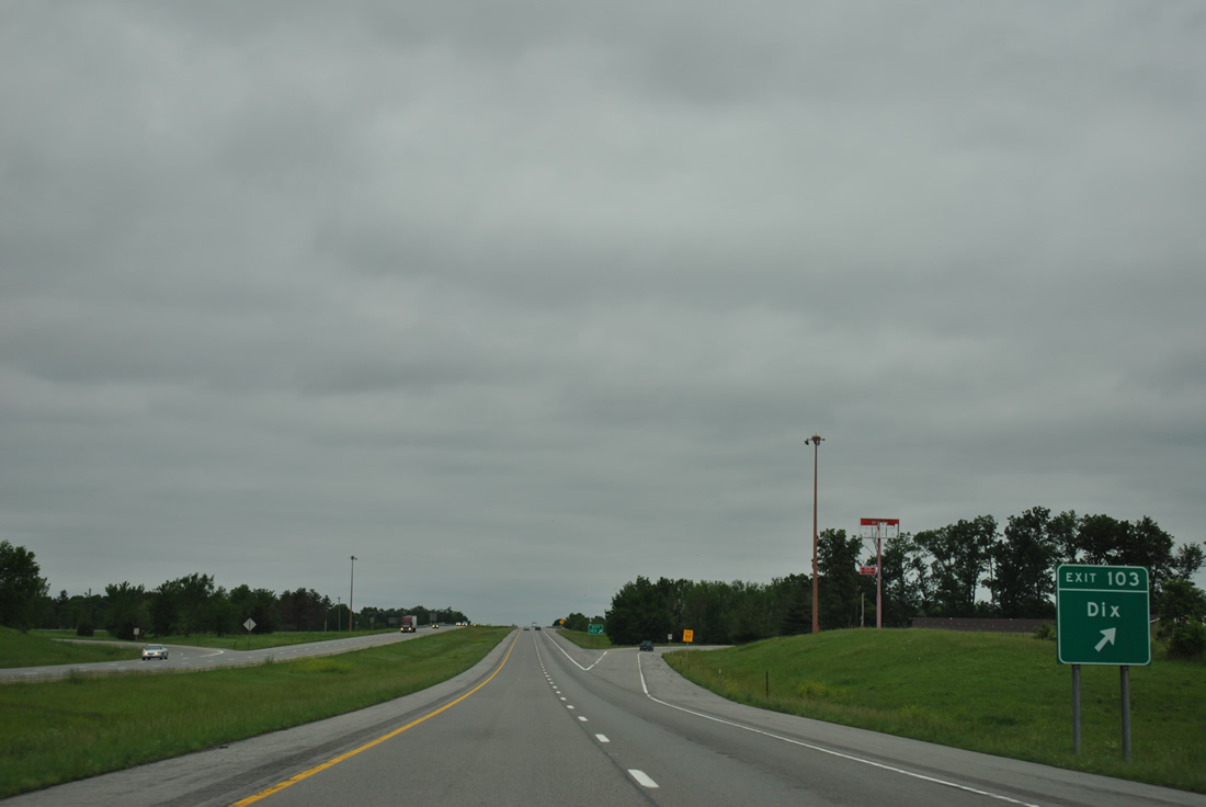
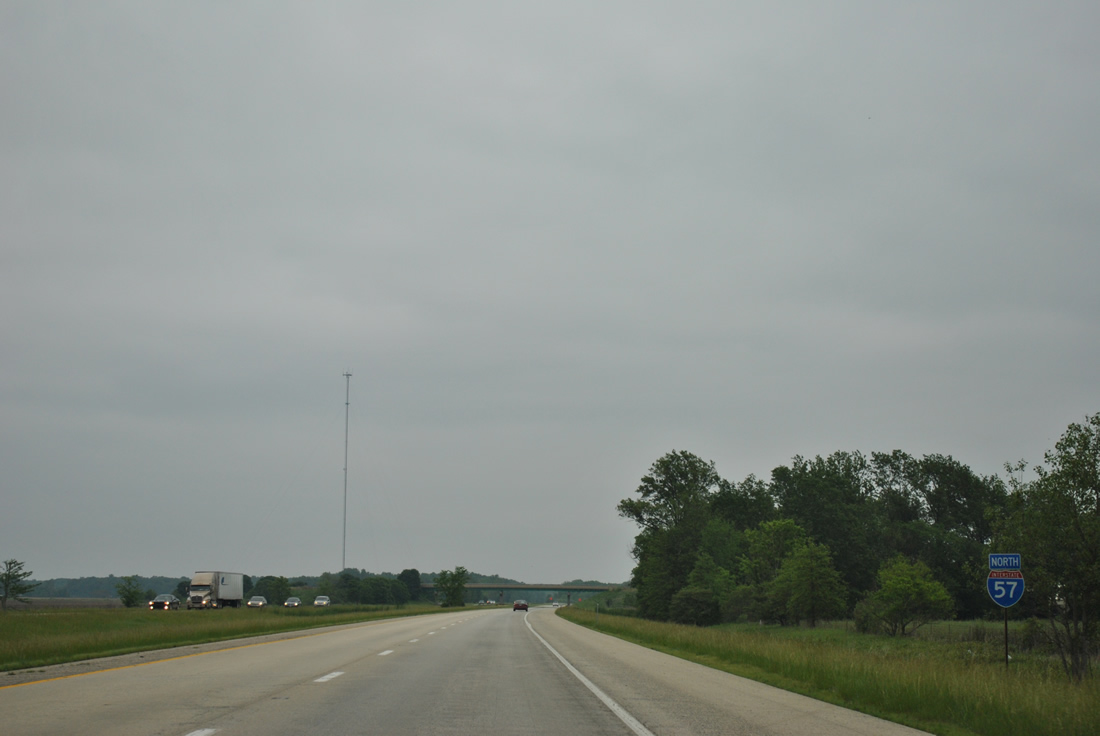
| Interstate 57 travels through a mixture of wooded and agricultural lands for the most part on the 63 mile drive to Effingham. The village of Dix is the next population center along the corridor. 05/27/11 |
|
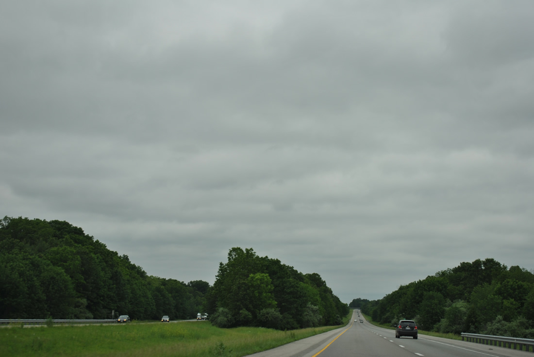
| Two roadway separations line the seven mile stretch of Interstate 57 north from I-64 to Dix. Pictured here is the second after the County Road 1075 E overpass. 05/27/11 |
|
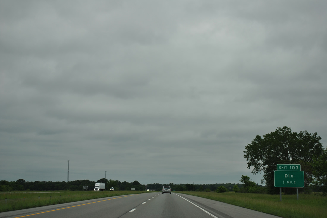
| Northbound travelers reach the village limits of Dix at a folded diamond interchange (Exit 103) with South Street. Dix was originally named Rome by one of the founders who was from Rome, New York. The name was changed in 1869 to Dix because another Rome, Illinois was already established. 05/27/11 |
|
| South Street becomes Dix-Irvington Road (County Road 39) west en route to Irvington and U.S. 51 in Washington County. 05/27/11 |
|
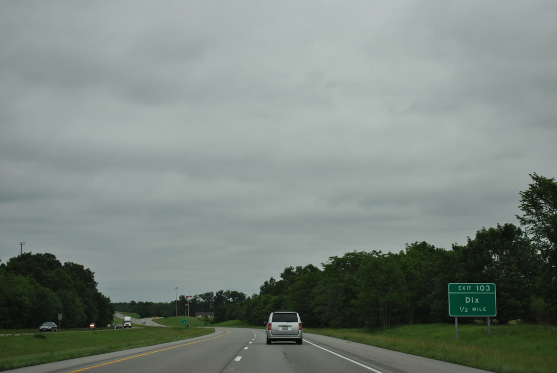
| Exit 103 leaves Interstate 57 north for South Street at Dix. IL 37 follows Main Street through the village center nearby; County Road 39 exits town along Dix Texico Road to Texico, a railroad named location. 05/27/11 |
|
| Interstate 57 shield marker posted after a Norfolk Southern Railroad under crossing at Dix. 05/27/11 |
|
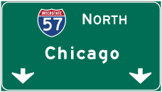
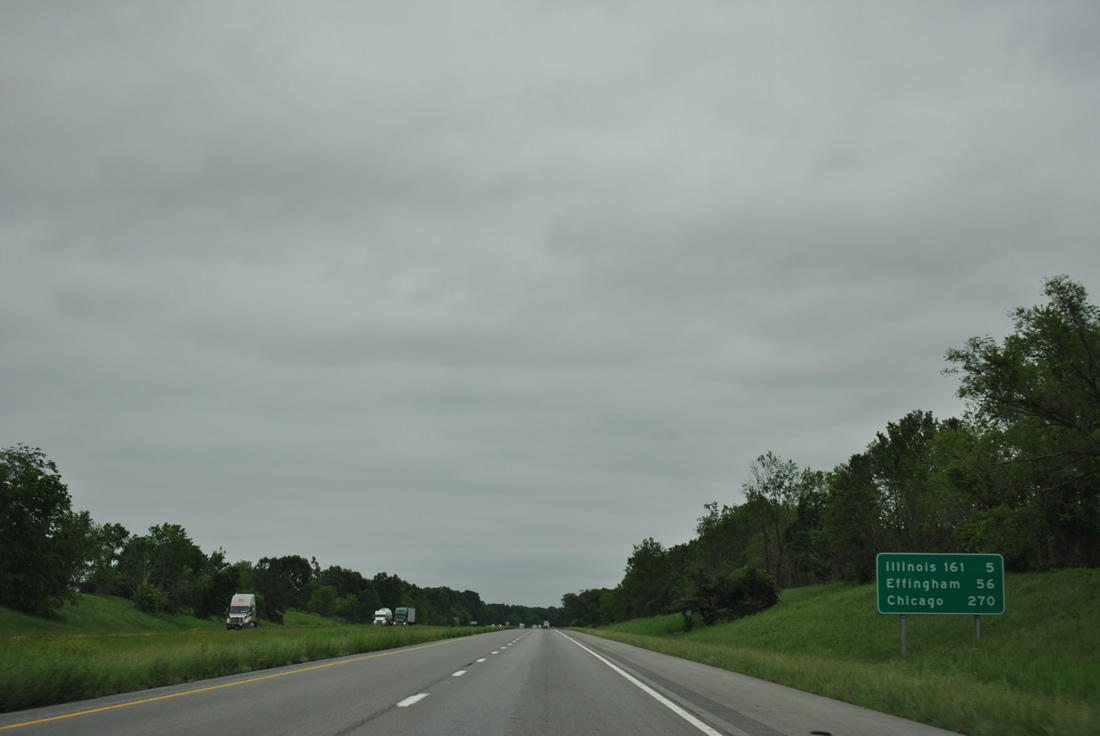
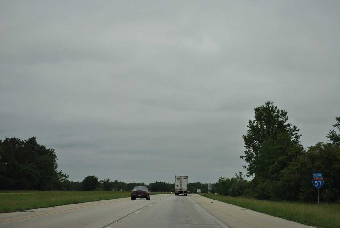
| Chicago is 270 miles to the north. 05/27/11 |
|
| Walnut Hill Road crosses over Interstate 57 at the Marion County line. 05/27/11 |
|
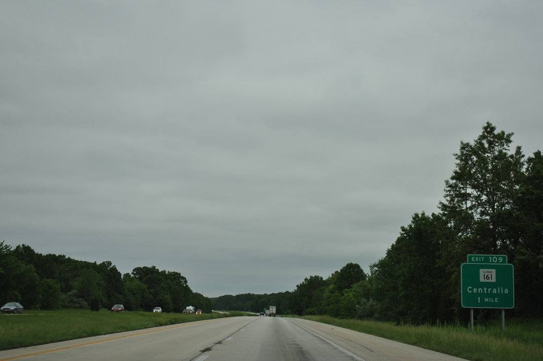
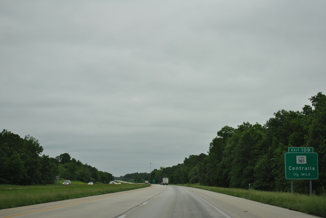
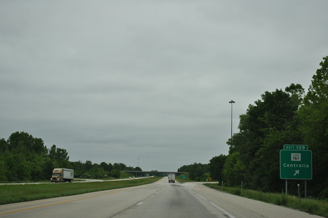
| IL 161 converges with I-57 at a diamond interchange (Exit 109), the first of three Marion County exits. 05/27/11 |
|
| Beginning one mile to the east of Interstate 57 at IL 37, IL 161 ventures west nine miles to Centralia and travels 59 miles overall to Fairview Heights. 05/27/11 |
|
| Northbound at Exit 109 to llinois Route 161. 05/27/11 |
|
| The freeway kinks northward again from IL 161. 05/27/11 |
|
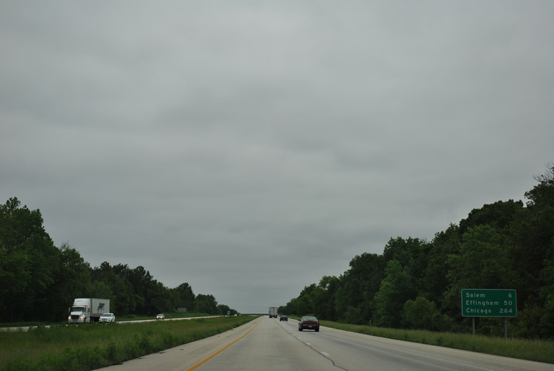
| Salem, seat of Marion County and home to 7,485 as of the 2010 census, is the largest population center between Mount Vernon and Effingham. I-57 traffic reaches the city in six miles. 05/27/11 |
|
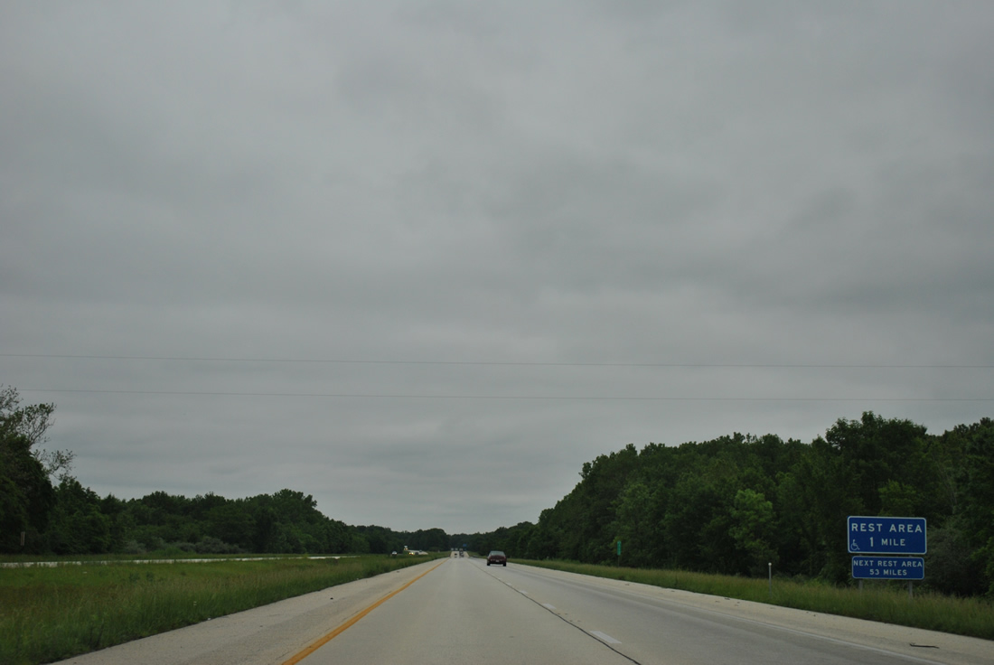
| Wooded rest areas line both sides of Interstate 57 at a roadway split north of Crooked Creek. 05/27/11 |
|
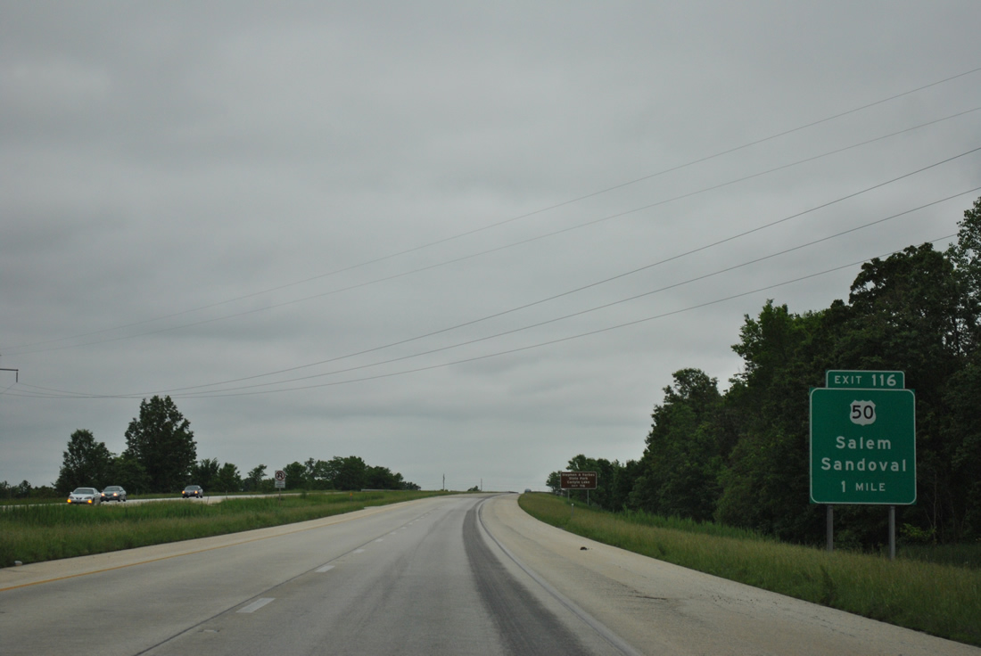
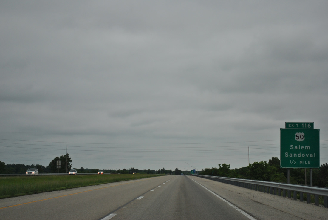
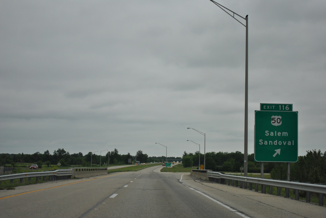
| A folded diamond interchange (Exit 116) next links Interstate 57 with U.S. 50 (Main Street) in Salem. 05/27/11 |
|
| I-57 elevates above a CSX Railroad by several retention ponds ahead of Exit 116 to U.S. 50. U.S. 50 travels 183 miles east across Illinois from St. Louis, Missouri to Vincennes, Indiana. The route was part of the original corridor proposed for I-64 until officials from Evansville succesfully lobbied for a more southerly course. A freeway was built along U.S. 50 for I-64 from Carlyle west to Summerfield. 05/27/11 |
|
| Main Street leads U.S. 50 to IL 37 (Broadway) in Downtown Salem. Interests to Carlyle Lake are directed onto U.S. 50 west and those to Stephen A. Forbes State Park along U.S. 50 east from Salem toward Omega. Sandoval is a nine mile drive west from Exit 116. 05/27/11 |
|
| Continuing north, Interstate 57 vacates Salem ahead of the Boone Street overpass. Salem-Leckrone Airport lies nearby. 05/27/11 |
|
| Interstate 57 curves northeasterly, paralleling the course of IL 37 from Salem to Alma and Exit 127 near Kinmundy. 05/27/11 |
|
| Kinoka Road connects Interstate 57 with parallel IL 37, southwest of the city of Kinmundy. 05/27/11 |
|
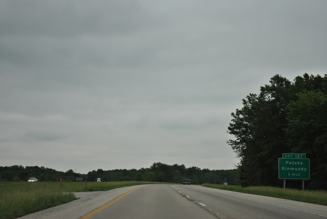
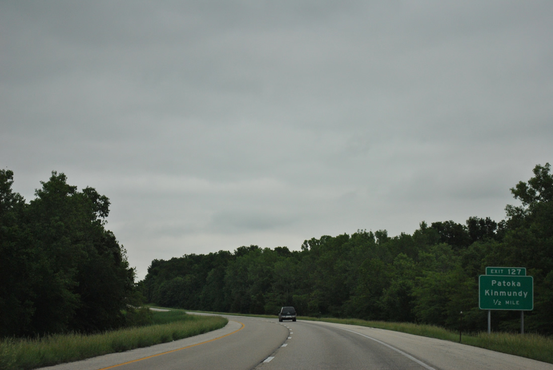
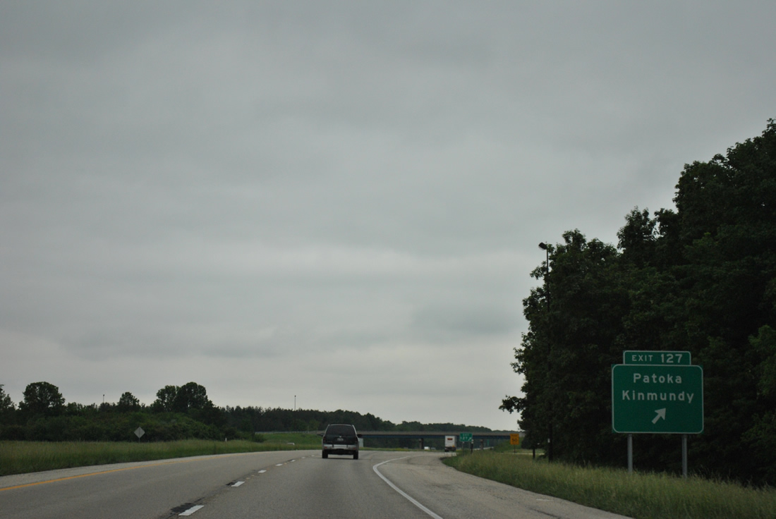
| Entering the diamond interchange (Exit 127) with Kinoka Road (County Road 8) along Interstate 57 north. Kinoka Road stretches eight miles west to intersect U.S. 51 outside the village of Patoka. 05/27/11 |
|
| Turning more easterly, Interstate 57 travels between the East Fork of the Kaskaskia River and Kinmundy. IL 37 and the companion Canadian National / AMTRAK railroad line continue nearby to Farina. 11/17/07 |
|
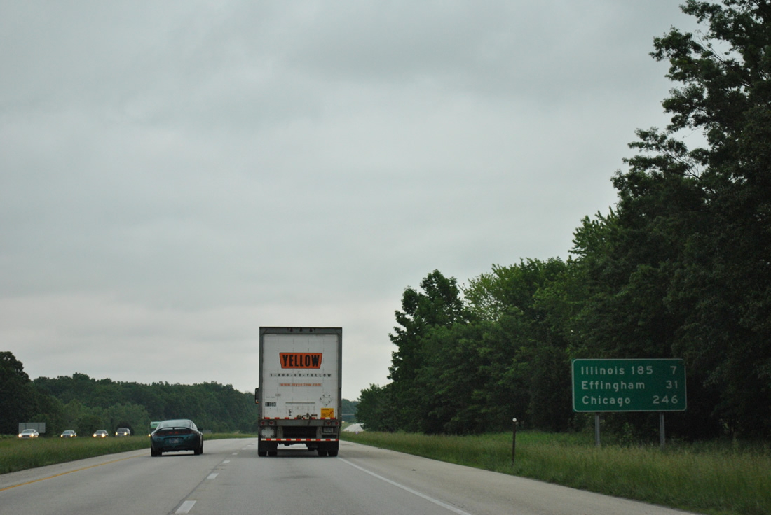
| Effingham is a half hour away and Chicago is 246 miles northward beyond the end of I-57 at Interstate 94. 05/27/11 |
|
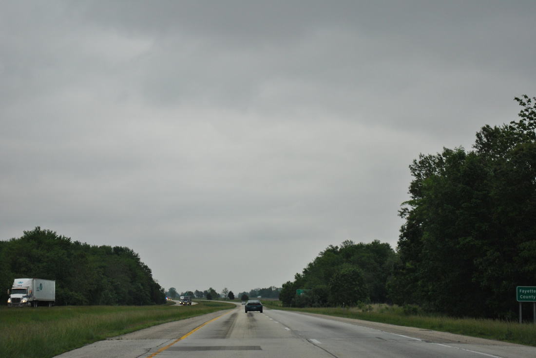
| Interstate 57 runs diagonally across the southeastern notch of Fayette County. 05/27/11 |
|
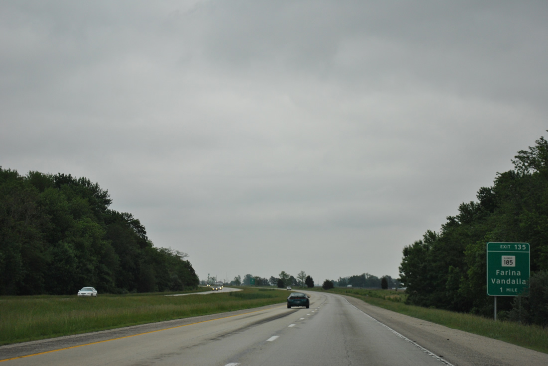
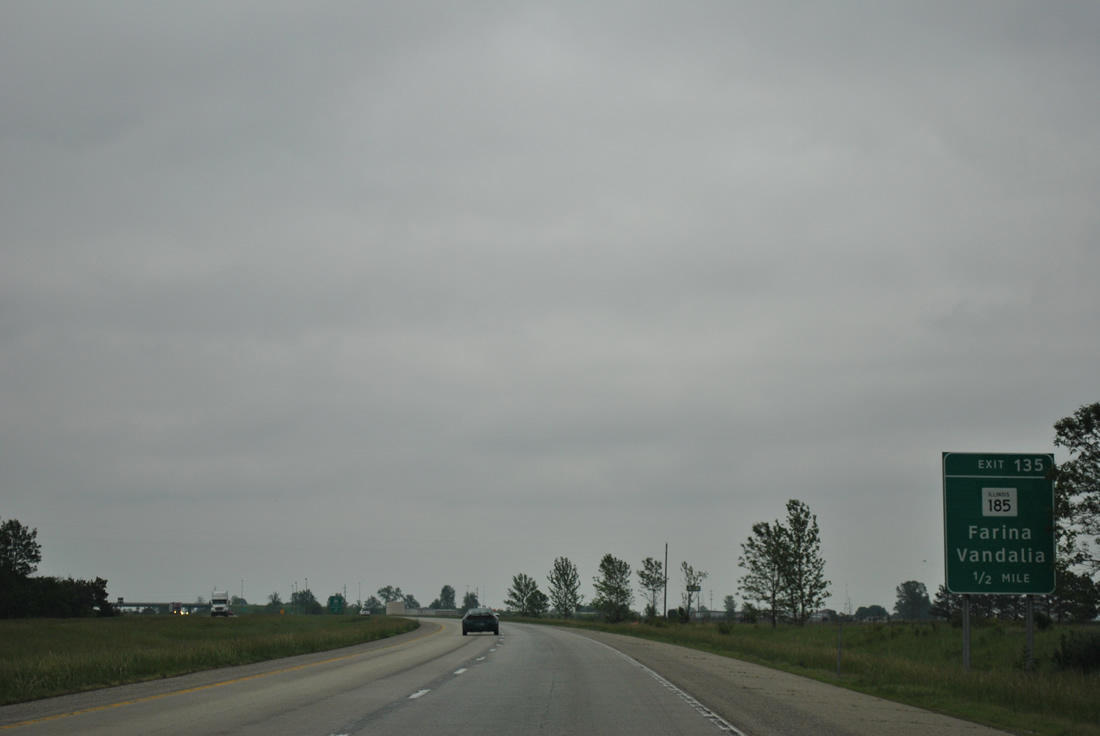
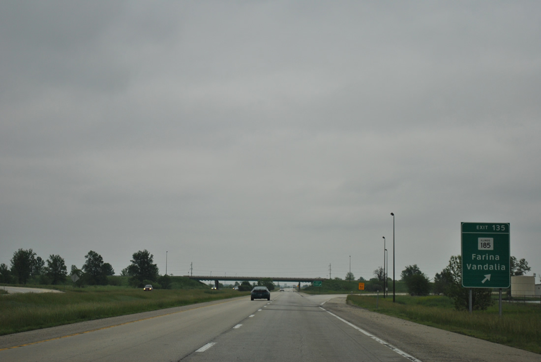
| IL 185 meets Interstate 57 at a diamond interchange (Exit 135) at the village of Farina. 05/27/11 |
|
| IL 185 follows Washington Street southeast from Exit 135 to conclude at IL 37 (Chestnut Street) in Farina. 05/27/11 |
|
| West from Interstate 57, IL 185 reaches St. Peter in six miles and U.S. 40 outside Vandalia in 19 miles. Overall the state route measures 50 miles from Farina to Hillsboro. 05/27/11 |
|
| Vacating Farina, Interstate 57 pushes northeast through a wide swath of farm land. 05/27/11 |
|
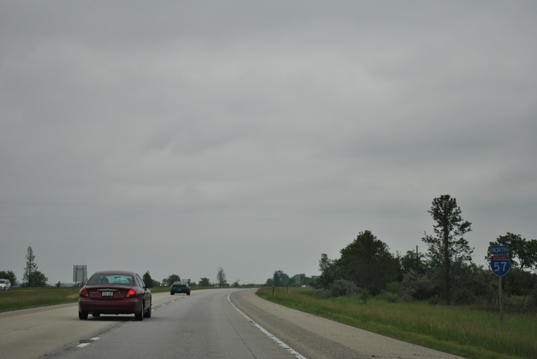
| A seemingly random shield follows along the northbound stretch of Interstate 57 near La Clede and the County Road 2850 East over crossing. 05/27/11 |
|
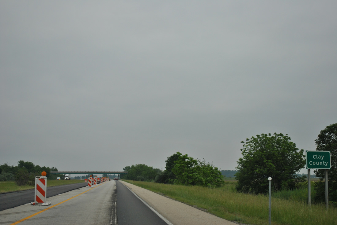
| Interstate 57 nips the northwest corner of Clay County beyond the wooded Dismal Creek area. 05/27/11 |
|
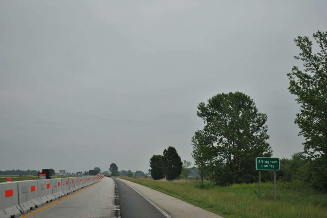
| I-57 crosses the Effingham County line beyond the 1st Avenue / County Road 00 North overpass. 05/27/11 |
|
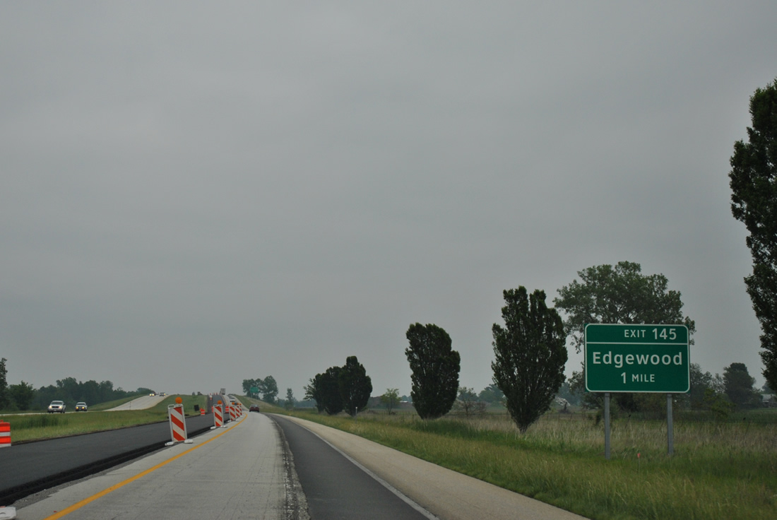
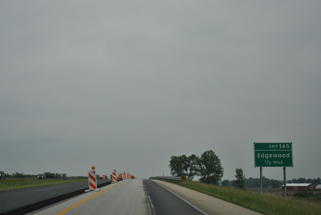
| Exit 145 links Interstate 57 with the village of Edgewood in one mile. 05/27/11 |
|
| County Route 29 joins Interstate 57 with Iowa Street in Edgewood at a diamond interchange (Exit 145). 05/27/11 |
|
| Exit 145 leaves Interstate 57 north for N 750th Street (County Route 29). IL 37 continues on a parallel course to Mason. 05/27/11 |
|
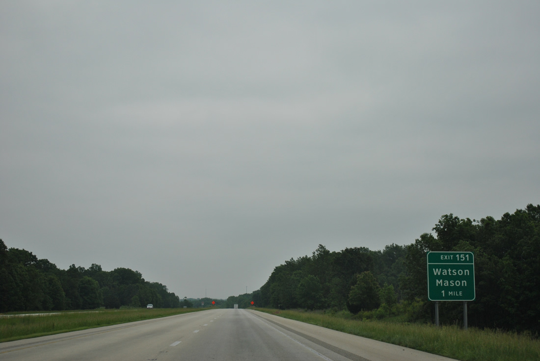
| Interstate 57 bypasses Mason without a direct exit. Instead motorists headed to the town of 400 are directed onto IL 37 south from a trumpet interchange and connector road at Exit 151. 05/27/11 |
|
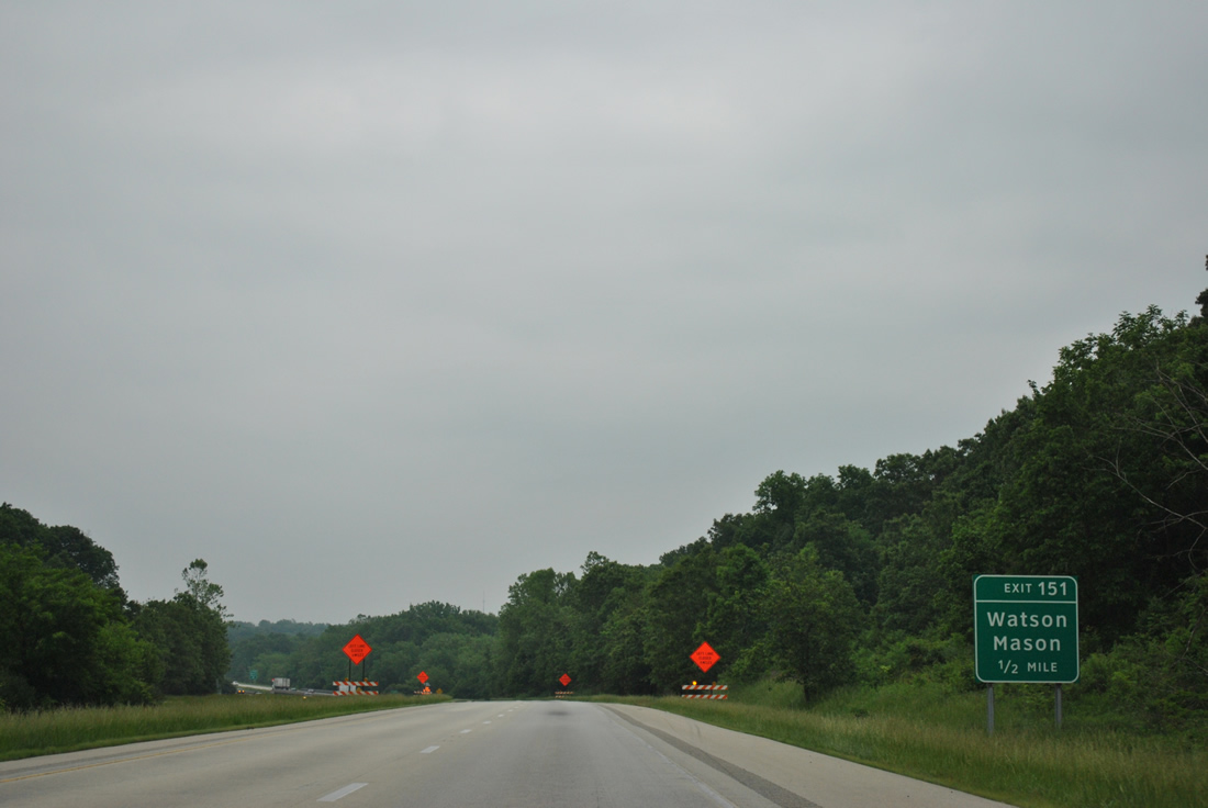
| Curving toward the crossing of the Little Wabash River along Interstate 57 north, 0.50 miles south of Exit 151 to IL 37. 05/27/11 |
|
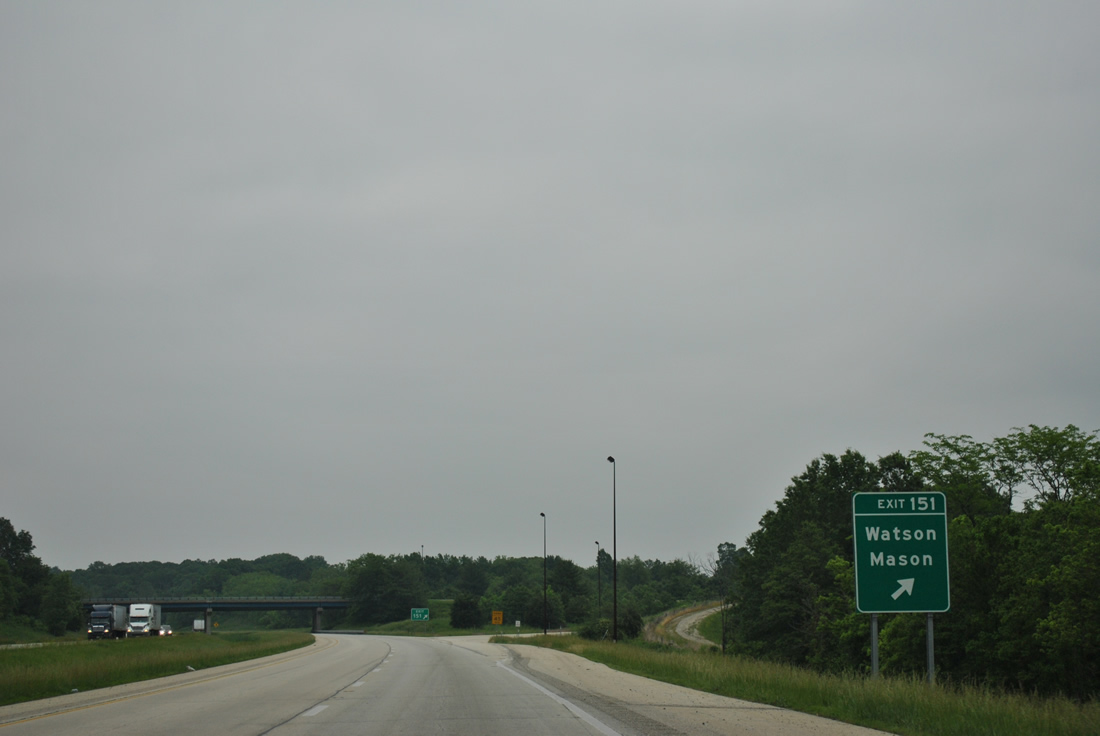
| IL 37 continues northeast from the access road at Exit 151 to the village of Watson. The 165 mile long state route concludes at U.S. 45 in 4.1 miles. 05/27/11 |
|
| Interstate 57 advances northward to Effingham and the overlap with I-70 in six miles. 11/17/07 |
|
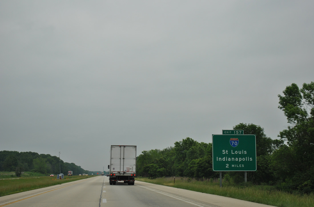
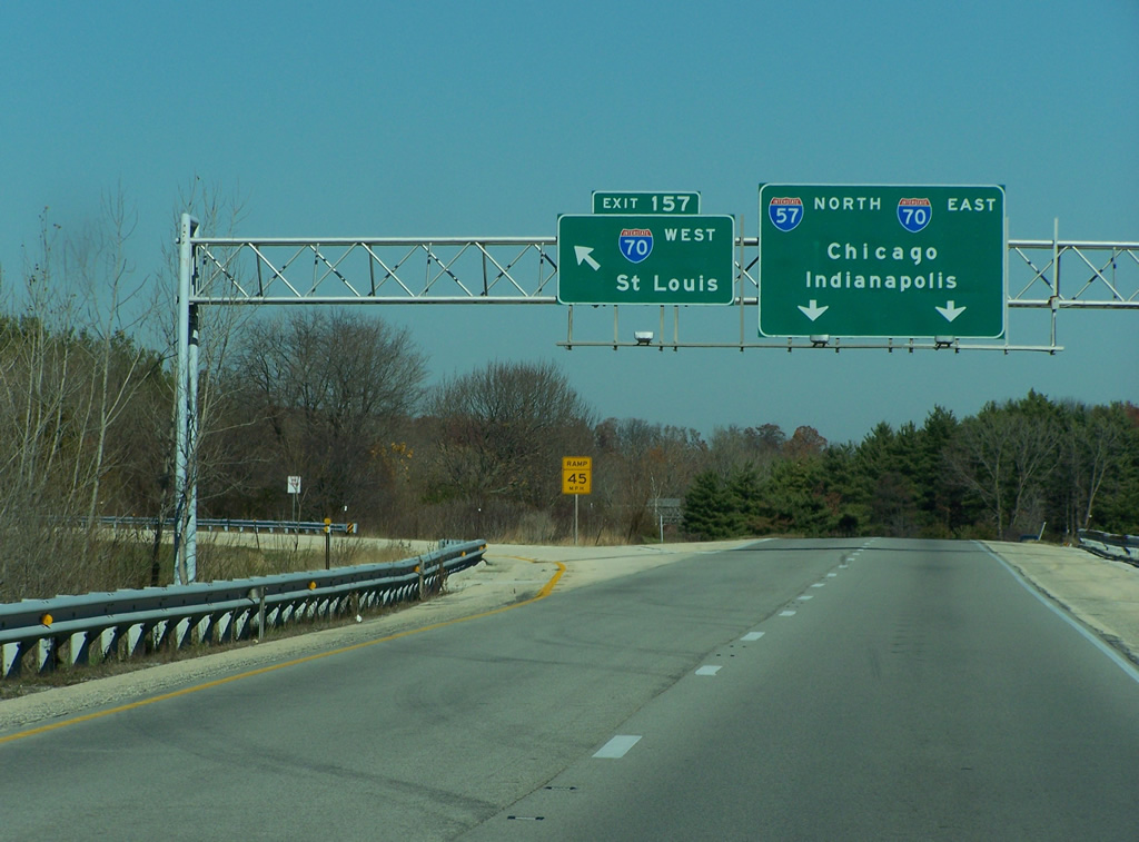
| 2,153 miles in length between Cove Fort, Utah and Baltimore, Maryland, Interstate 70 enters Effingham from St. Louis and Vandalia to the west. A tri-level stack interchange (Exit 157) joins the two freeways in two miles. 05/27/11 |
|
| Interstate 70 constitutes a mostly rural route 156 miles across southern Illinois from East St. Louis to Terre Haute and Indianapolis, Indiana. 05/27/11 |
|
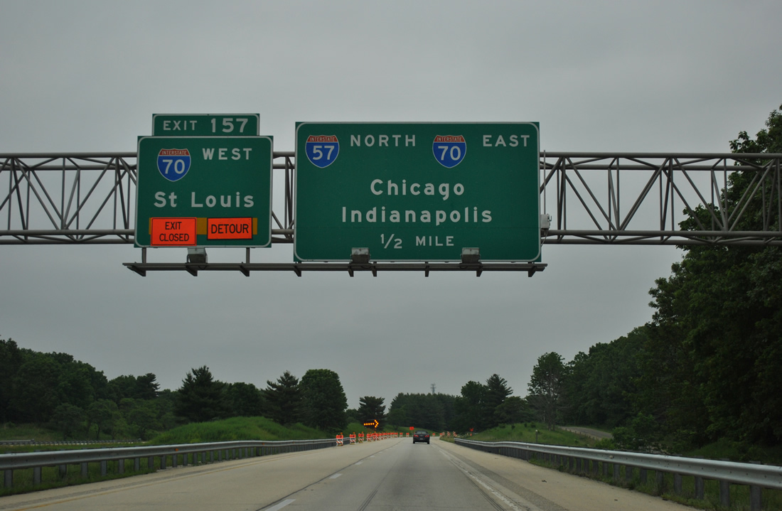
| Construction on a six year, $125 million project expanding the I-57/70 overlap to six lanes commenced on October 5, 2010. Broken into three phases through 2016, the first replaced the I-70 bridges over Little Wabash River and repaved a 2.1 mile stretch of I-57/70 between Exit 157 and U.S. 40.1 05/27/11 |
|
| Left Exit 157 joins Interstate 70 ten miles to IL 128 at Altamont. I-70 combines with I-55 south in 72 miles near Troy. 11/17/07 |
|
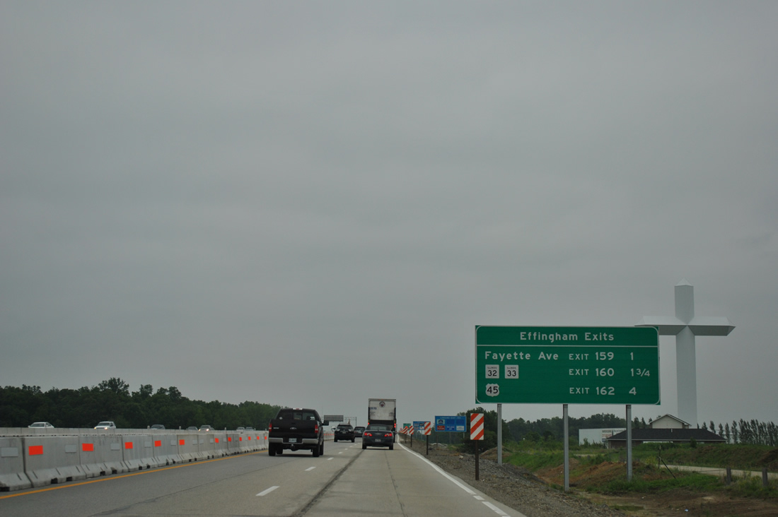
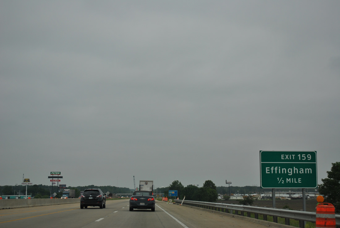
| Interstate 70 overlaps with I-57 north for 5.68 miles through the city of Effingham. The first of three exits along the concurrency is for Fayette Avenue in one mile. 05/27/11 |
|
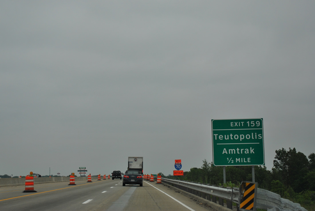
| Fayette Avenue joins I-57/70 with U.S. 40, east from Henrietta Street. AMTRAK Effingham Station lies at the corner of Fayette Avenue (U.S. 40/IL 33) and U.S. 45 (Banker Street) in Downtown. AMTRAK passenger service runs between Carbondale and New Orleans to the south and Chicago to the north. 05/27/11 |
|
| Estimated between $15 and $17 million, reconstruction of Exit 159 included replacing the Fayette Avenue overpasses.1 Fayette Avenue east heads to U.S. 40 for the village of Teutopolis and west to Outer Belt West, a service road completed in 2010 that leads north from U.S. 40 (National Avenue) to IL 32/33 (Keller Drive) at Ford Avenue. 05/27/11 |
|
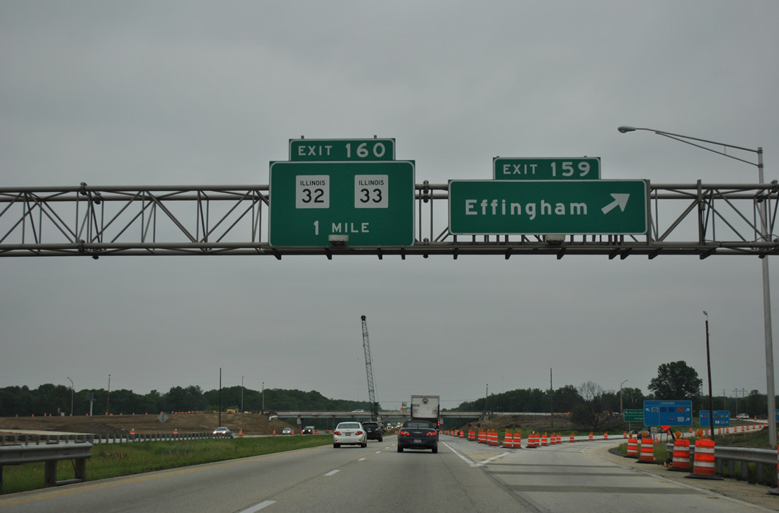
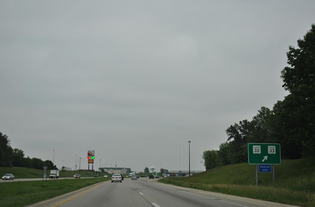
| Construction converted the diamond interchange (Exit 159) with Fayette Avenue into a parclo. IL 33 separates from Fayette Avenue at U.S. 40 (Henrietta Street) and joins IL 32 north to Keller Drive and I-55/70 at Exit 160. 05/27/11 |
|
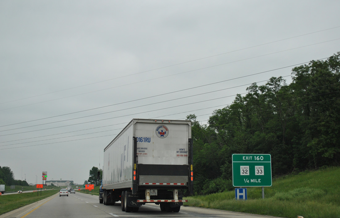
| One quarter mile south of the parclo interchange at Exit 160 with IL 32/33 (Keller Drive). IL 32 travels 66 miles north from Effingham to IL 48 by Cisco and Interstate 72 at Exit 158. IL 33 constitutes a 92 mile highway from IL 128, west of Beecher City, to U.S. 50 near Vincennes. 05/27/11 |
|
| The crossroads of I-57/70 and IL 32/33 (Keller Drive) is commercialized with several big box stores north to Outer Belt West and Ford Avenue east. IL 32 and IL 33 part ways 3.73 miles to the northwest for Windsor and Beecher City respectively. 05/27/11 |
|
| The lone shield assembly for I-57/70 posted during the 2010-16 construction. The freeway arcs eastward through a rural swath to U.S. 45 (3rd Street). 05/27/11 |
|
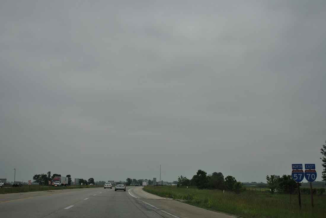
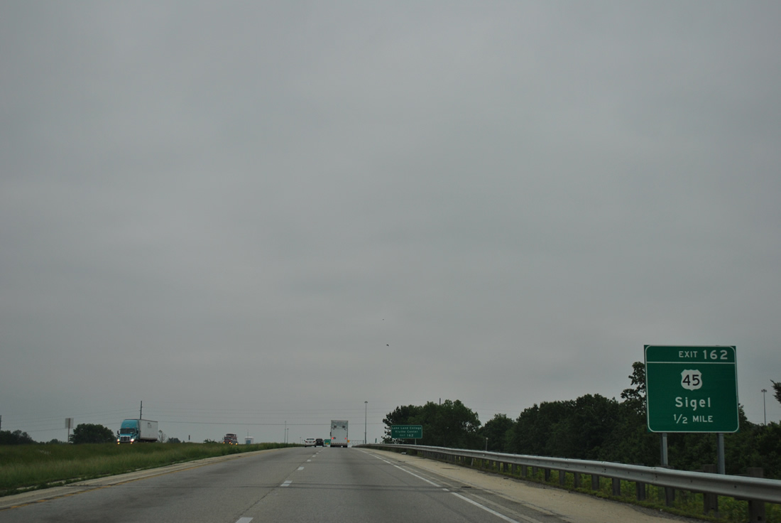
| U.S. 45 overlaps with U.S. 40 (Fayette Avenue) for 0.20 miles between Banker and 3rd Streets in Downtown Effingham. Resuming a northward trajectory, U.S. 45 parallels a Canadian National Railroad to Sigel and Neoga. I-57 and I-70 part ways one mile east of Exit 162. 05/27/11 |
|
| U.S. 45 (3rd Street) parallels Interstate 57 northward from Exit 162 to Chicago as part of a 408 mile long route in Illinois between Brookport and Wisconsin near Antioch. 05/27/11 |
|
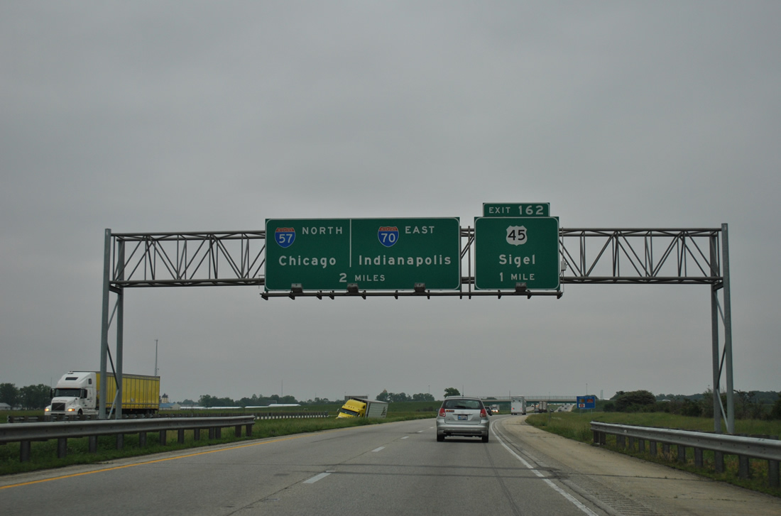
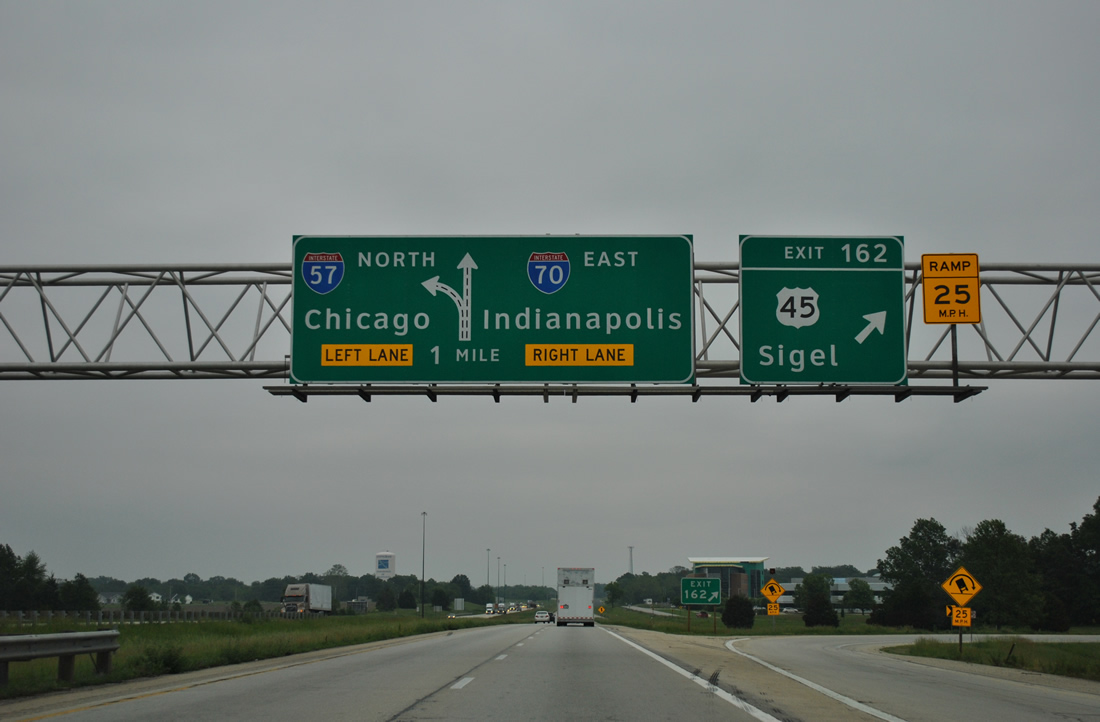
| A diagrammatic overhead for the I-57/70 split appears at the folded diamond interchange (Exit 162) with U.S. 45. Unsigned Exit 163 is a three-wye interchange outside Effingham. 05/27/11 |
|
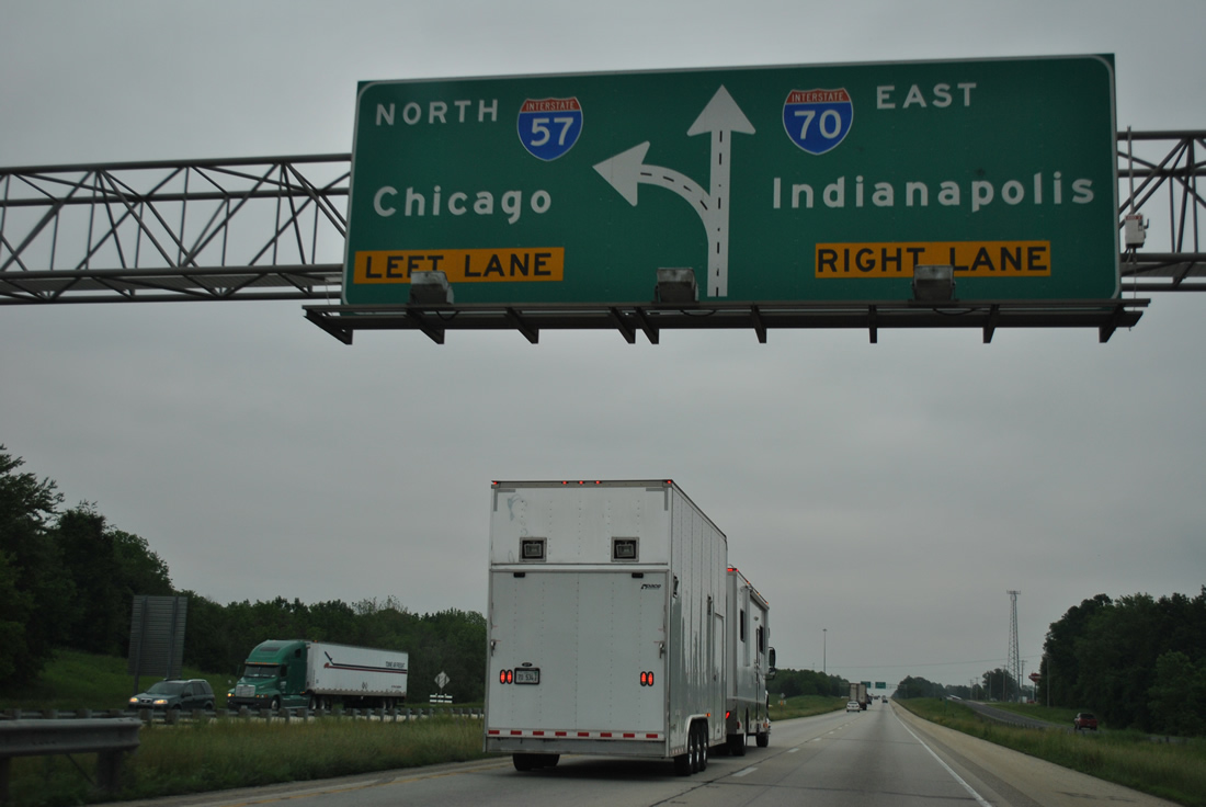
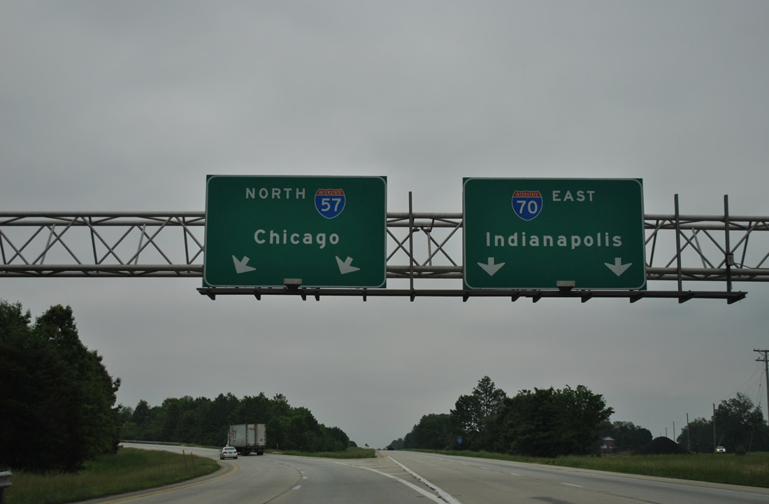
| Althoff Avenue, a parallel service road, comes into view as I-57 and I-70 advance to their separation. I-57 resumes a northern heading en route to Mattoon, Champaign, Kankakee and Chicago. 05/27/11 |
|
| Interstate 70 and U.S. 40 commingle eastward to Terre Haute and Indianapolis, Indiana. The I-57/70 overlap through Effingham was completed by 1962. 05/27/11 |
Page Updated 04-03-2012.

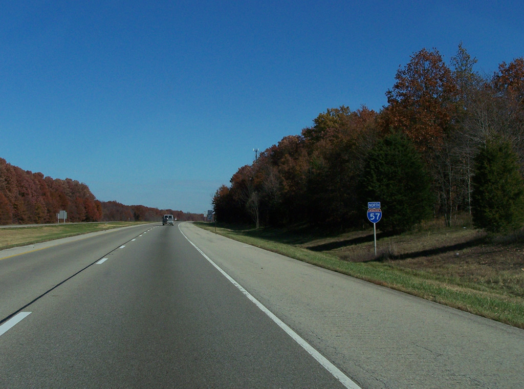
 North
North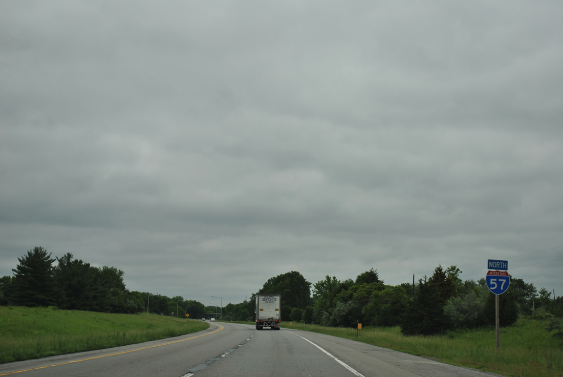


 East
East