
Planned in the 1980s,1 the exchange directly connecting Interstate 64 with Busch Gardens Williamsburg was constructed from January 1998 to March 22, 2002 at a total cost of $32.3 million.2 Originally scheduled for completion in December 1999, the original $28.2 million project was mired by delays. The primary contractor for the project, Driggs Corp. filed for bankruptcy protection in January 2001. Inspections by the Virginia Department of Transportation (VDOT) in February 2001 indicated that steel beams on the new bridge spanning I-64 were not fitted properly.1
Ramps with Interstate 64 eastbound opened to traffic in March 2001. VDOT proceeded to hire a second contractor to complete the project as Driggs was failing to meet environmental regulations. Structural problems with bridge construction were resolved in October 2001. The project at the time was $2.6 million over the original cost.1
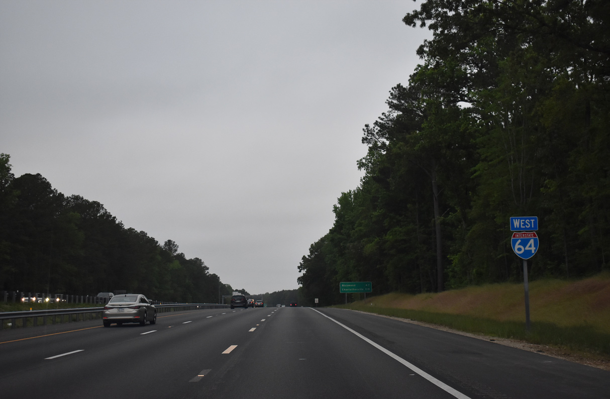
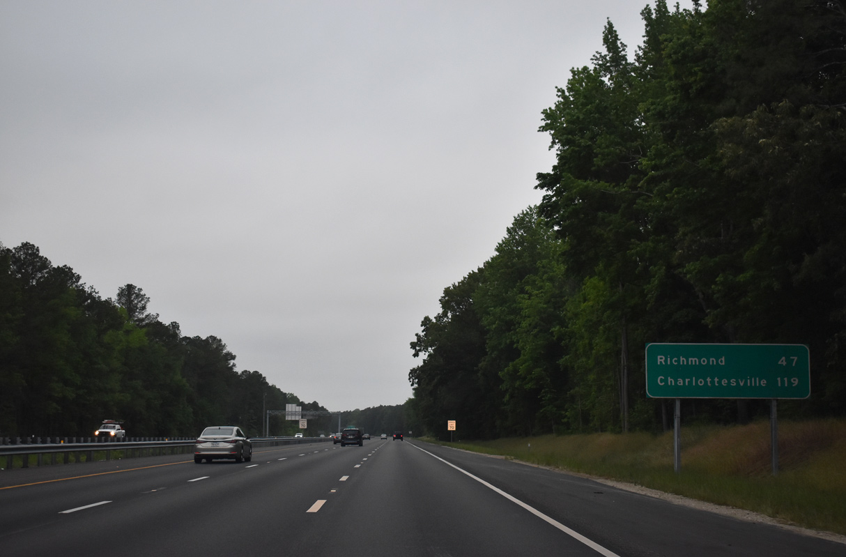
 West
West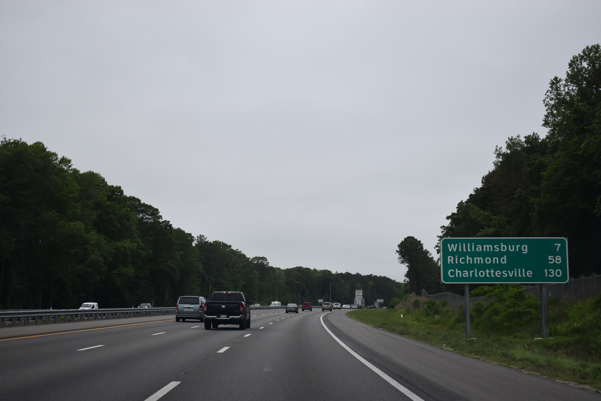
05/26/22
05/26/22
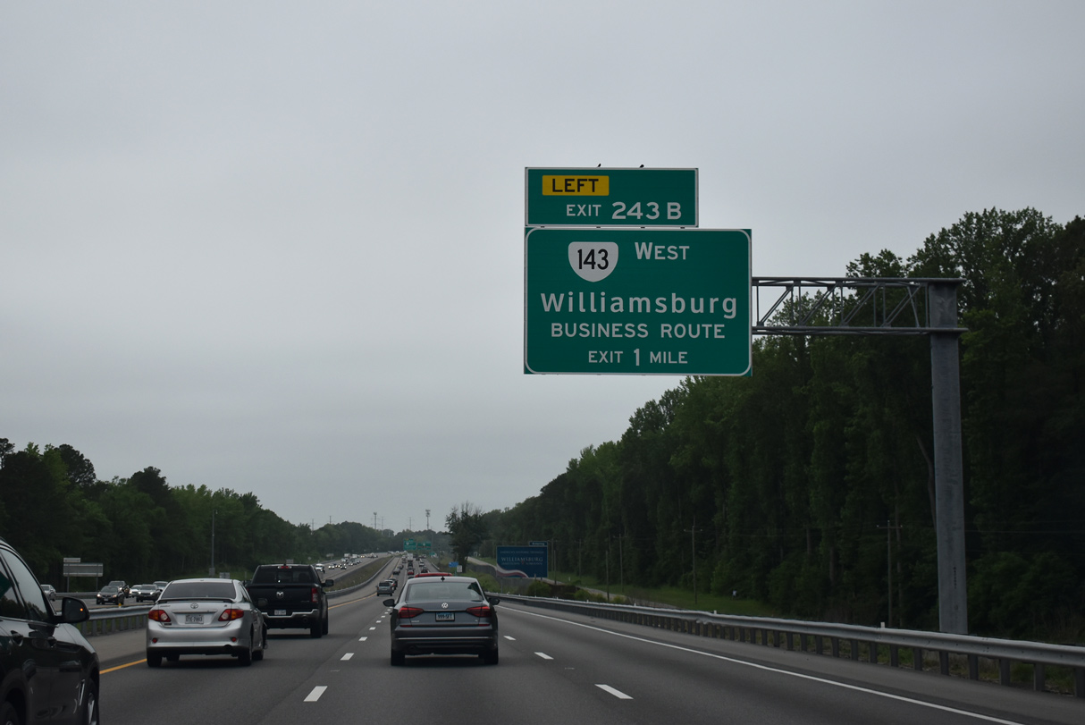
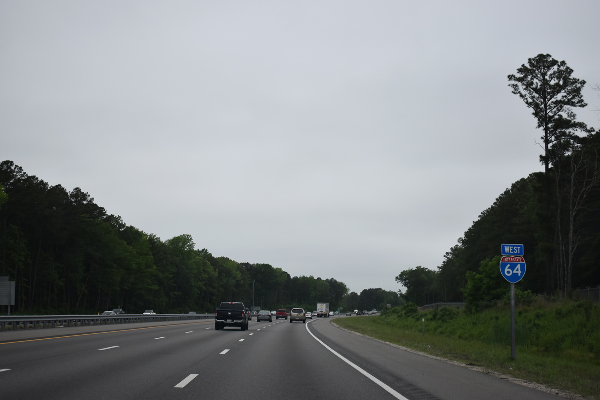
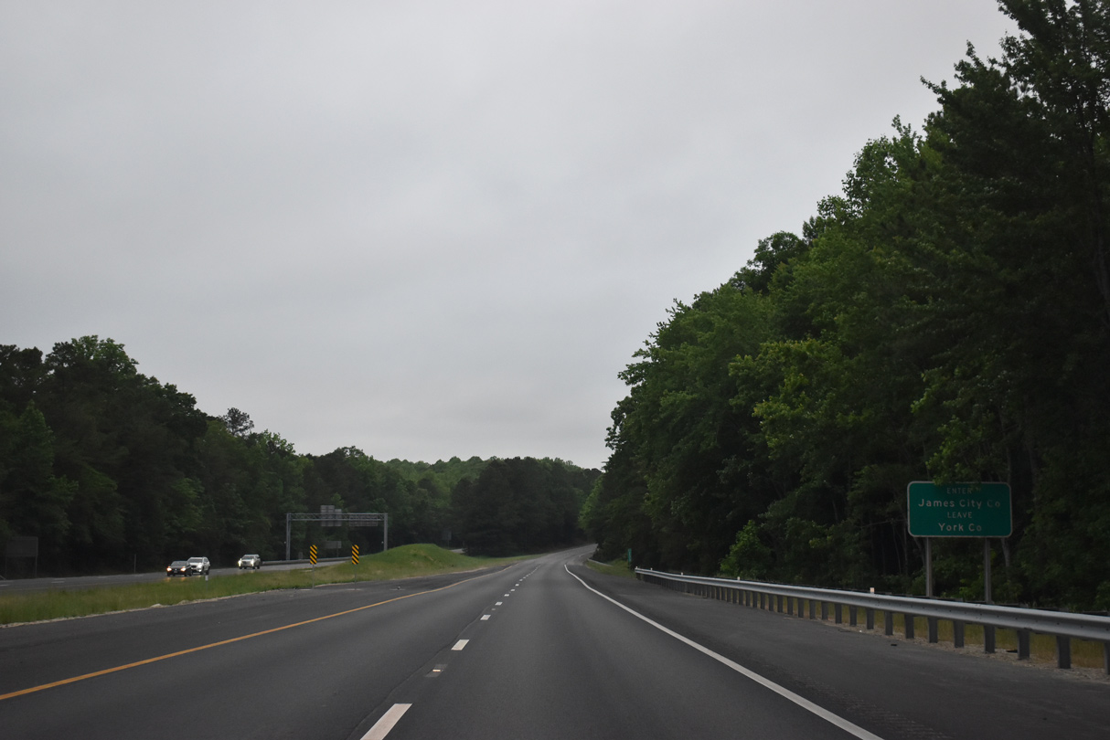
SR 143 (Merrimac Trail) shifts sides with I-64 west into James City County. The two run side by side north into York County, where Left Exit 243 B connects with SR 143 leading into the city of Williamsburg.
05/26/22

05/26/22
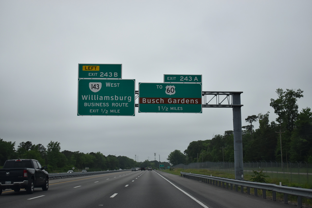
A trumpet interchange (Exit 243 A) follows Left Exit 243 B with a limited access road leading directly into the Busch Gardens Williamsburg theme park.
05/26/22

05/26/22

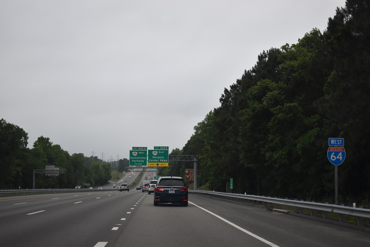
SR 143 (Merrimac Trail) connects with SR 199 (Humelsine Parkway) and SR 162 (2nd Street) before bypassing Colonial Williamsburg to the north. U.S. 60 (Pocahontas Trail) parallels just to the west beyond a CSX Railroad line.
05/26/22

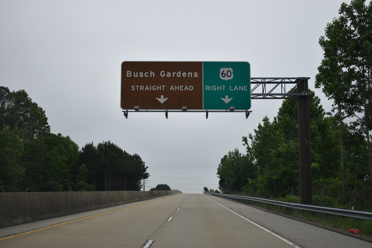
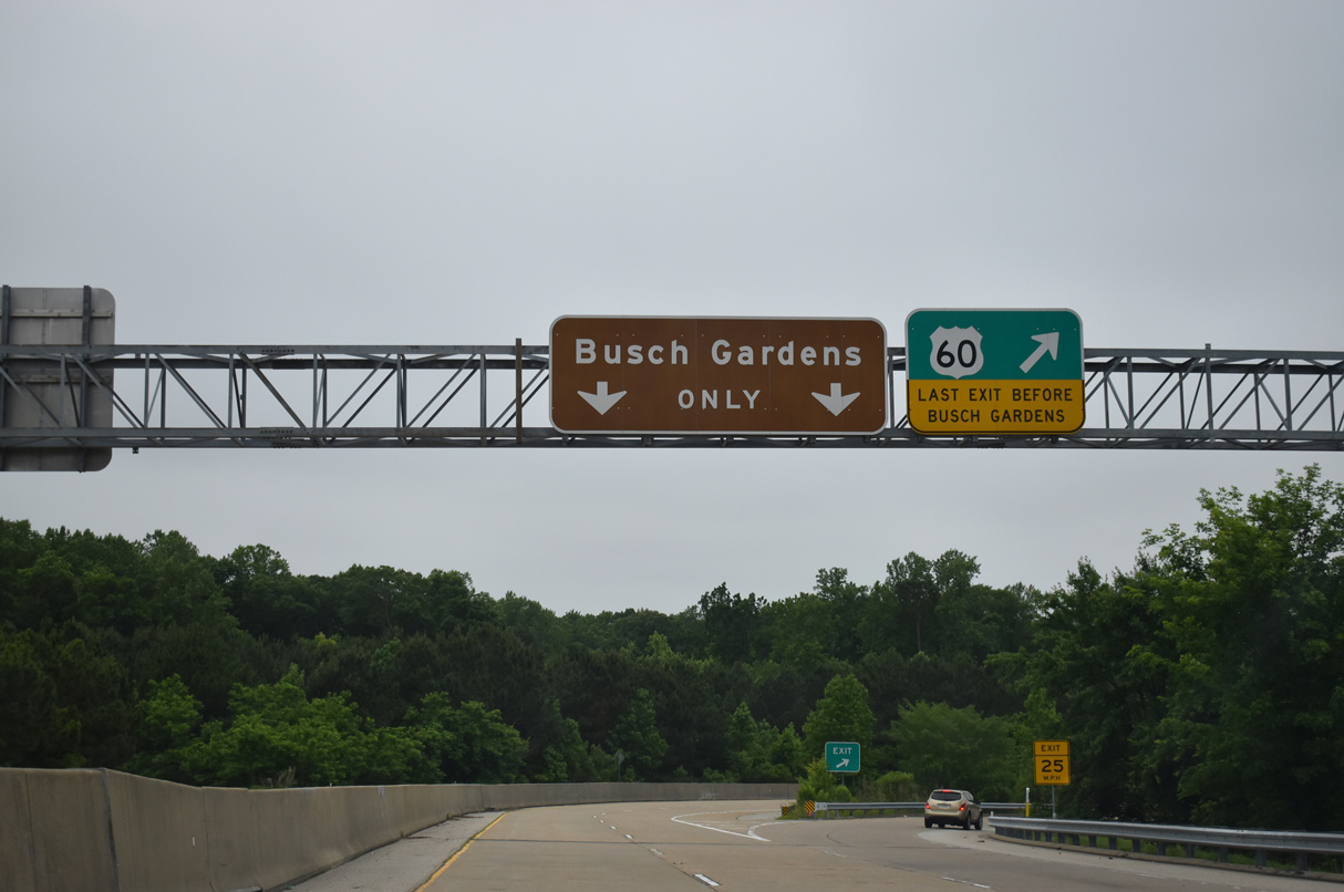
Opened on March 22, 2002,2 Exit 243 A loops onto the freeway ramps for U.S. 60 (Pocahontas Trail) and the entrance to Busch Gardens Williamsburg.
05/26/22

05/26/22

05/26/22
05/26/22
05/26/22

05/26/22
05/26/22

SR 199 (Humelsine Parkway) encircles Williamsburg to the west along an expressway between Exit 242 and Exit 234.
05/26/22
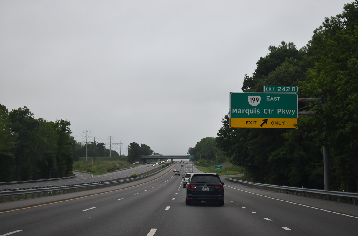
SR 199 spurs north from Exit 242B to Water Country USA and SR 641 (Penniman Road). SR 641 connects SR 199 to Colonial Parkway east to Yorktown and Sanda Avenue to US Navy Supply Center Cheatham Annex,
05/26/22
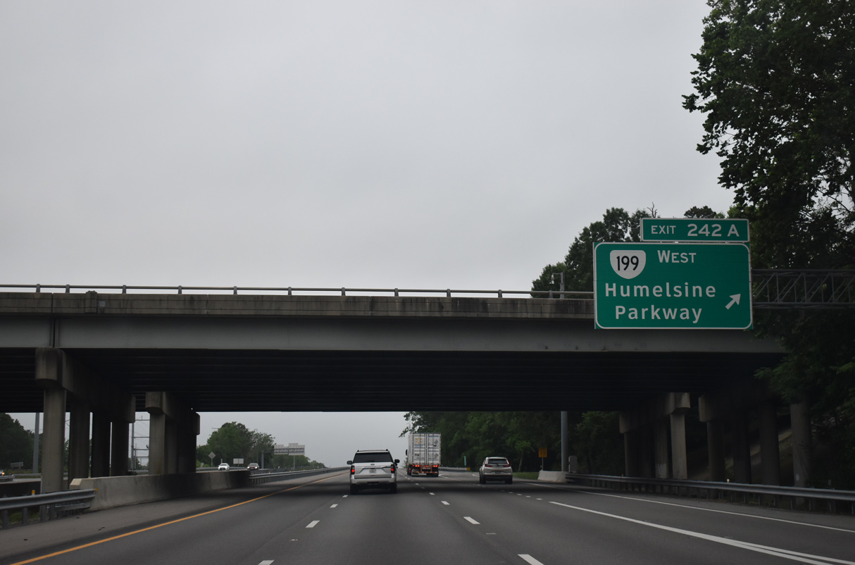
Exit 242 A loops onto SR 199 west to Colonial Parkway south to historic Jamestown. The expressway loop along SR 199 is 14.13 miles long.
05/26/22
05/26/22
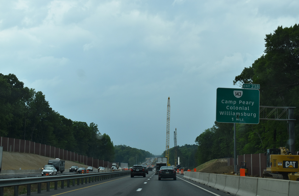
A parclo interchange (Exit 238) joins Interstate 64 with the north end of SR 143 (Capitol Landing Road) and the entrance to Camp Peary Military Reservation.
05/28/21
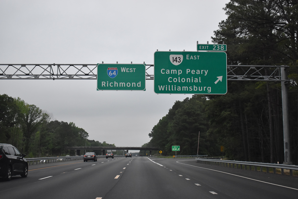
SR 143 (Capitol Landing Road) connects with SR 132 south to Downtown Williamsburg. SR 143 continues south to SR 5 in the city of Williamsburg, where it shifts east from Forest Hill Park to James Terrace.
05/26/22
05/26/22
05/26/22
05/26/22
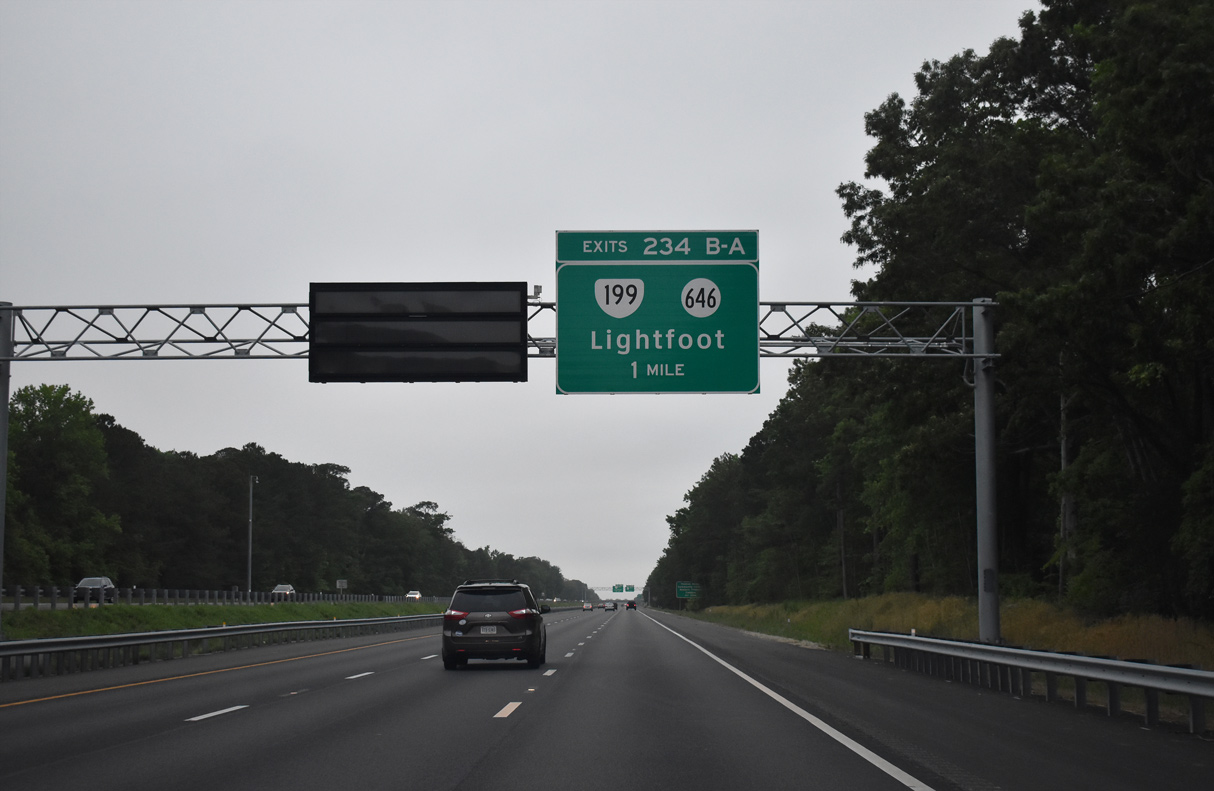
SR 199 returns to Interstate 64 at a six ramp parclo interchange (Exit 234) opposite SR 646 (Newman Road).
05/26/22

SR 646 (Newman Road) heads 2.94 miles north from the exchange with I-64/SR 199 to York River State Park in James City County.
05/26/22

Exit 234B leaves Interstate 64 west for SR 646 (Newman Road) to Barlow Corners and Christensons Cofrner.
05/26/22
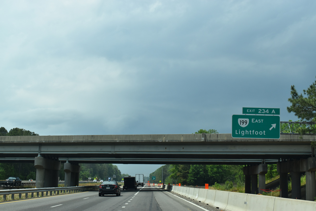
SR 199 (Humelsine Parkway) arcs southwest from Exit 234 A along a freeway to U.S. 60 (Richmond Road) at Lightfoot and SR 321 (Monticello Avenue) west of Williamsburg.
05/28/21
05/26/22
05/26/22
05/26/22
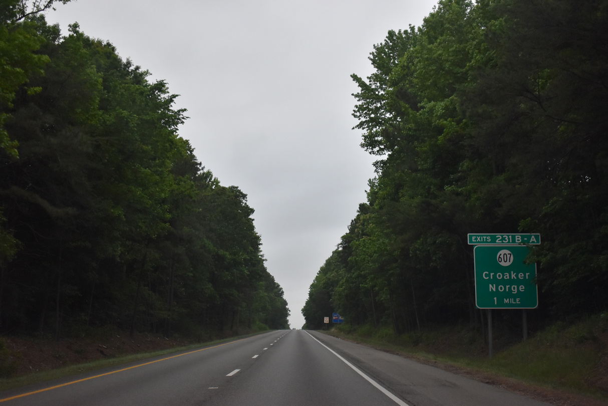
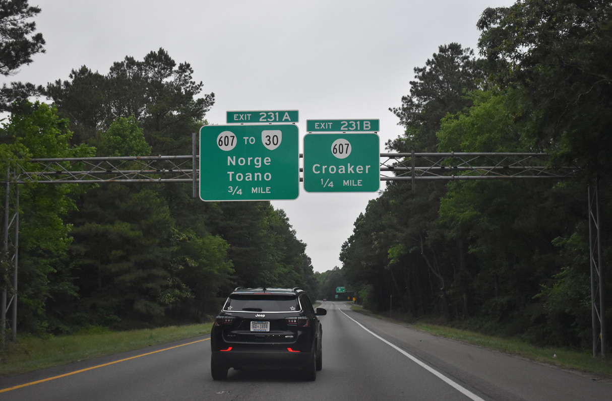
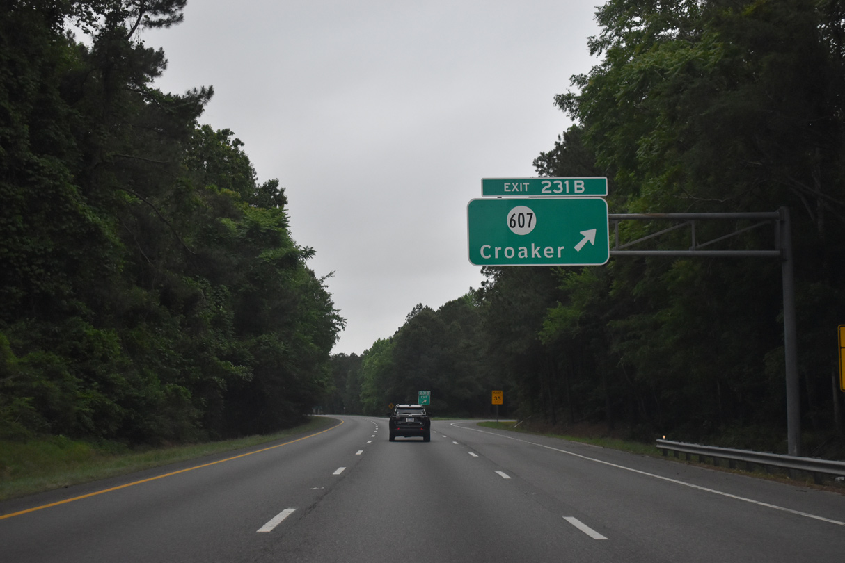
Advancing north across Skimino Creek, Interstate 64 continues to a cloverleaf interchange (Exit 231) with SR 30 north and SR 607 (Croaker Road) in James City County.
05/26/22
SR 607 (Croaker Road) spurs north from I-64 and SR 30 at Exit 231 B to Croaker, SR 606 east to York River State Park, and Sycramore Landing along the York River.
05/26/22
05/26/22
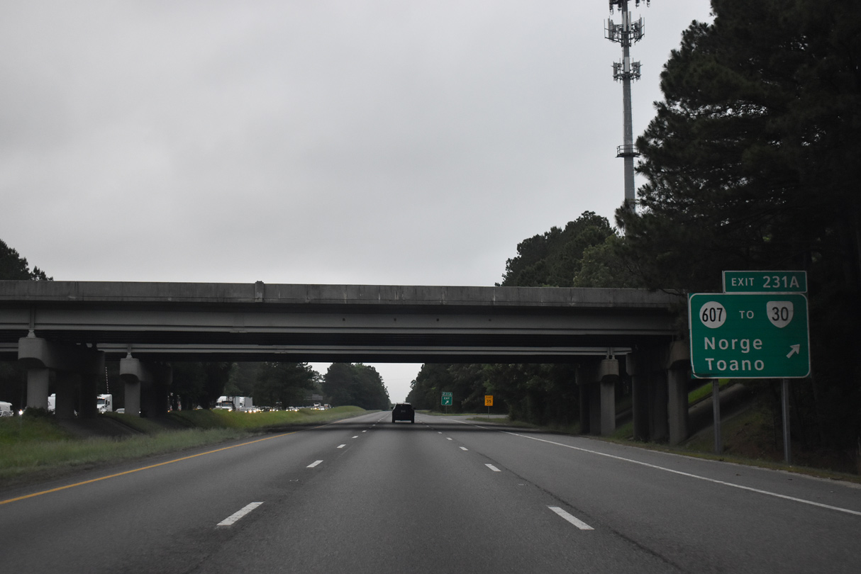
SR 607 (Croaker Road) continues 0.89 miles southwest from SR 30 (Rochambeau Drive) to U.S. 60 (Richmond Road) between Toano and Norge. SR 30 arcs 2.95 miles northwest from nearby to U.S. 60 at Barhamsville Road.
05/26/22
05/26/22
05/26/22
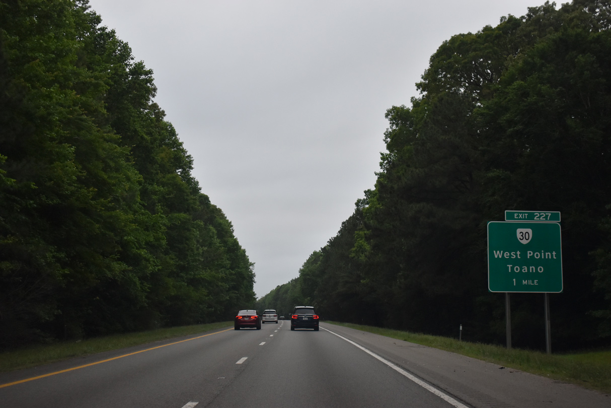
SR 30 (Barthamsville Road) meets Interstate 64 again at Exit 227, 1.83 miles north of U.S. 60 (Richmond Road) near Toano.
05/26/22
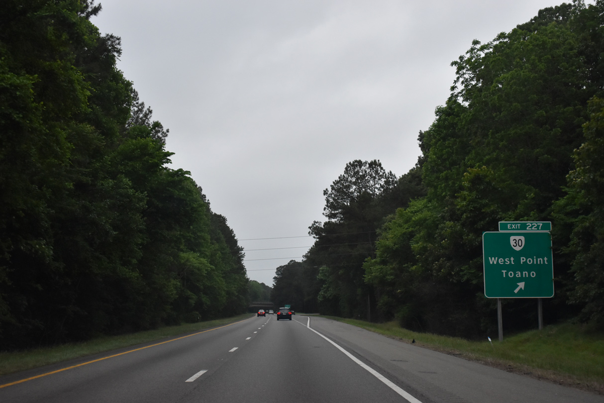
SR 30 (Barhamsville Road) continues north from the parclo interchange (Exit 227) with I-64 to SR 273 at Barhamsville and SR 33 near New Kennt Park. SR 30/33 overlap east to Eltham and across the Pamunkey River to the town of West Point.
05/26/22
05/29/21
05/26/22
05/26/22

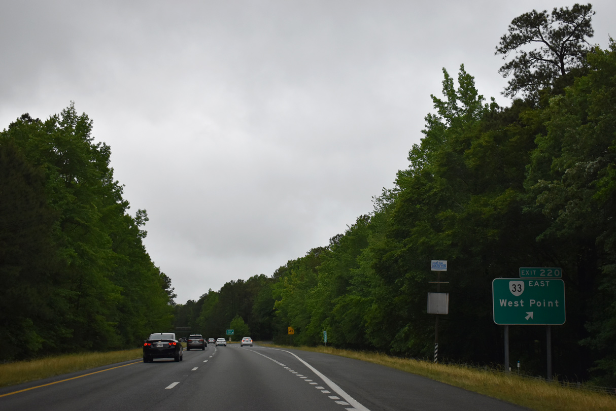
SR 33 (Eltham Road) converges with Interstate 64 at a trumpet interchange (Exit 220), 2.98 miles west from SR 30.
05/26/22
SR 33 travels 29.04 miles east to Shacklefords, U.S. 17 at Glenns, Locust Hill and SR 3.
05/29/21
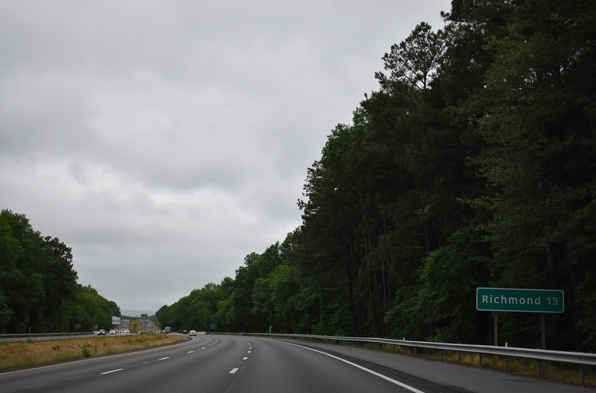
 West
West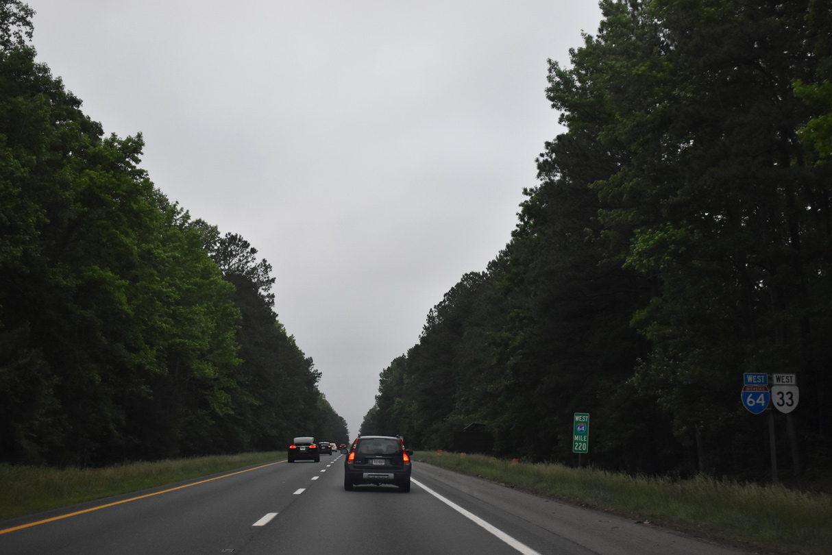
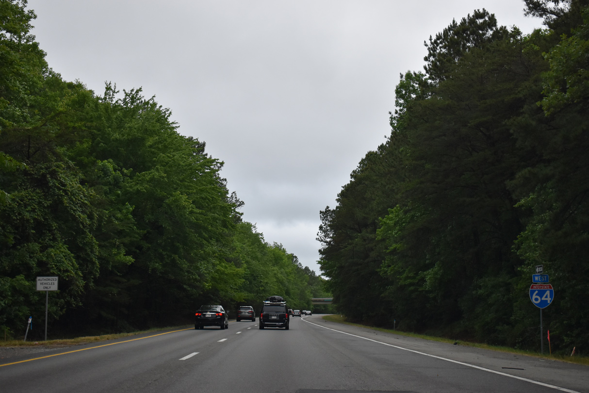
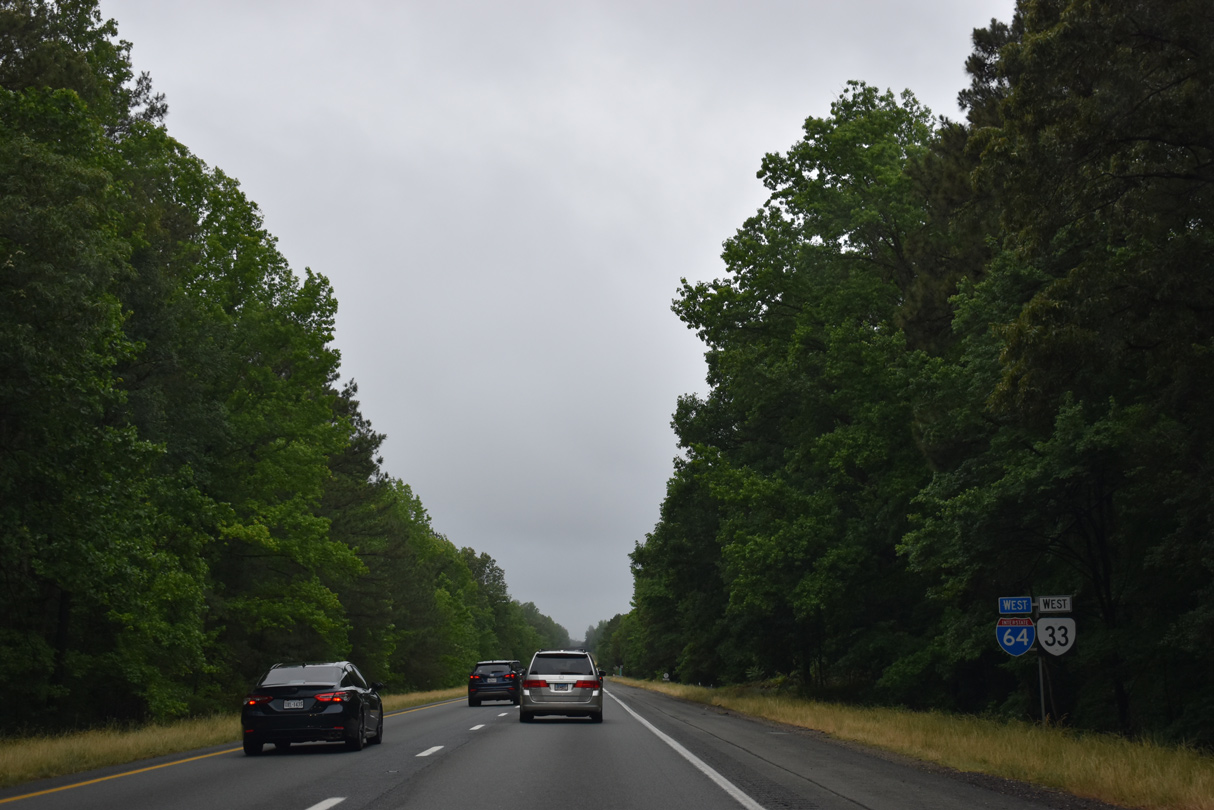
SR 33 overlaps with Interstate 64 west 15 miles to western New Kent County near Bottoms Bridge.
05/26/22
05/26/22
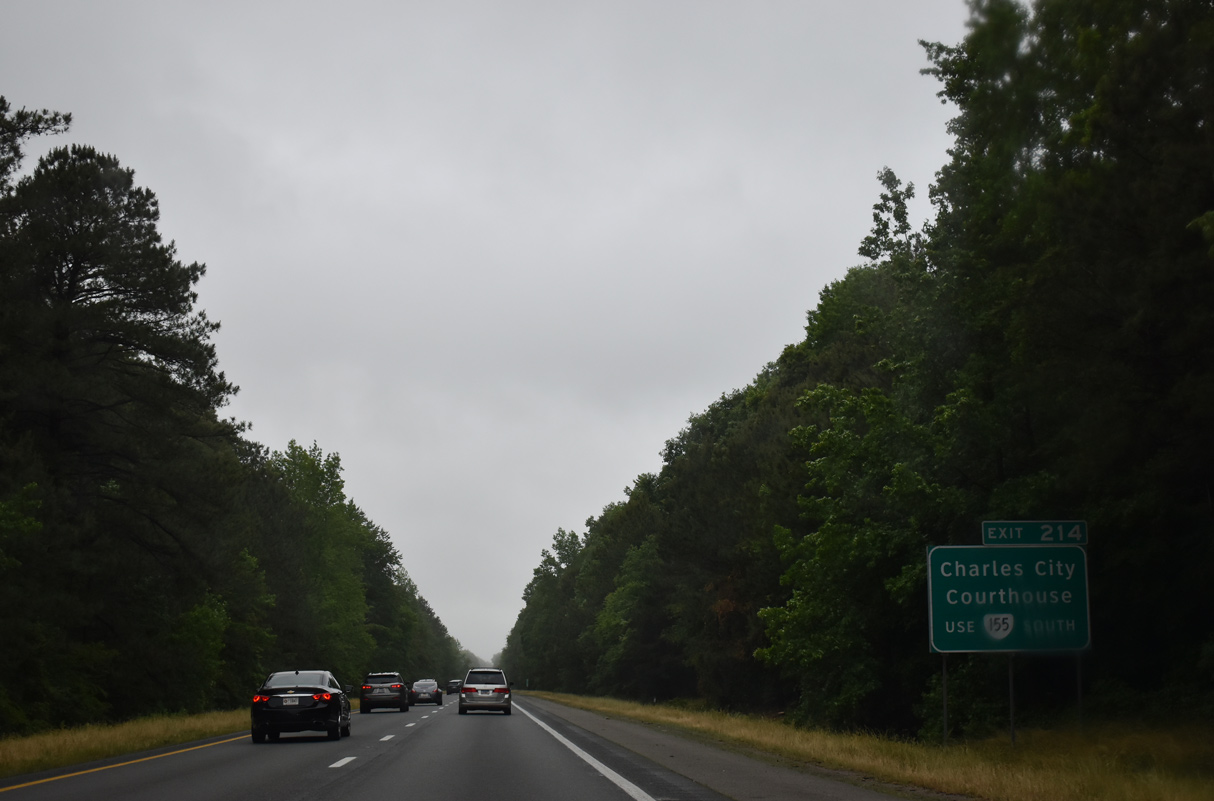
SR 155 (Courthouse Road) crosses paths with I-64/SR 33 at a diamond interchange (Exit 214) near Colonial Downs.
05/29/21
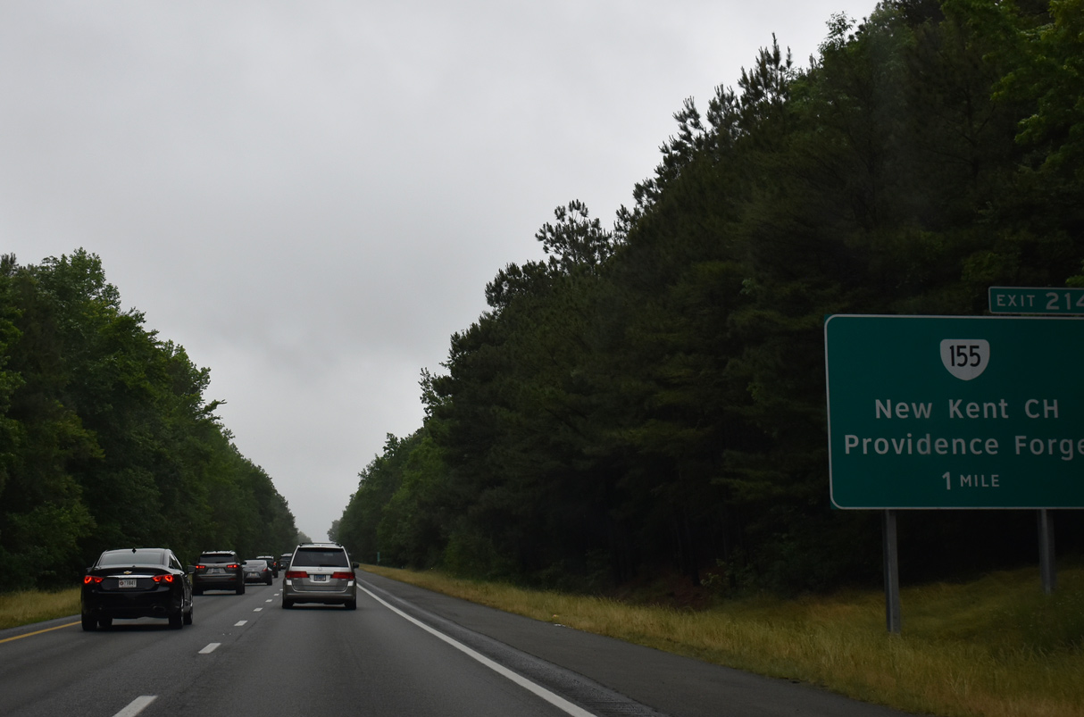
North from Exit 214, SR 155 (Courthouse Road) connects with SR 249 New Kent Highway) west of New Kent Courthouse.
05/29/21
05/29/21
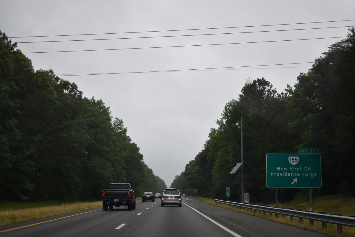
South of I-64/SR 33, SR 155 continues to U.S. 60 at Providence Forge and SR 5 near Charles City Courthouse.
05/29/21
05/29/21
05/29/21
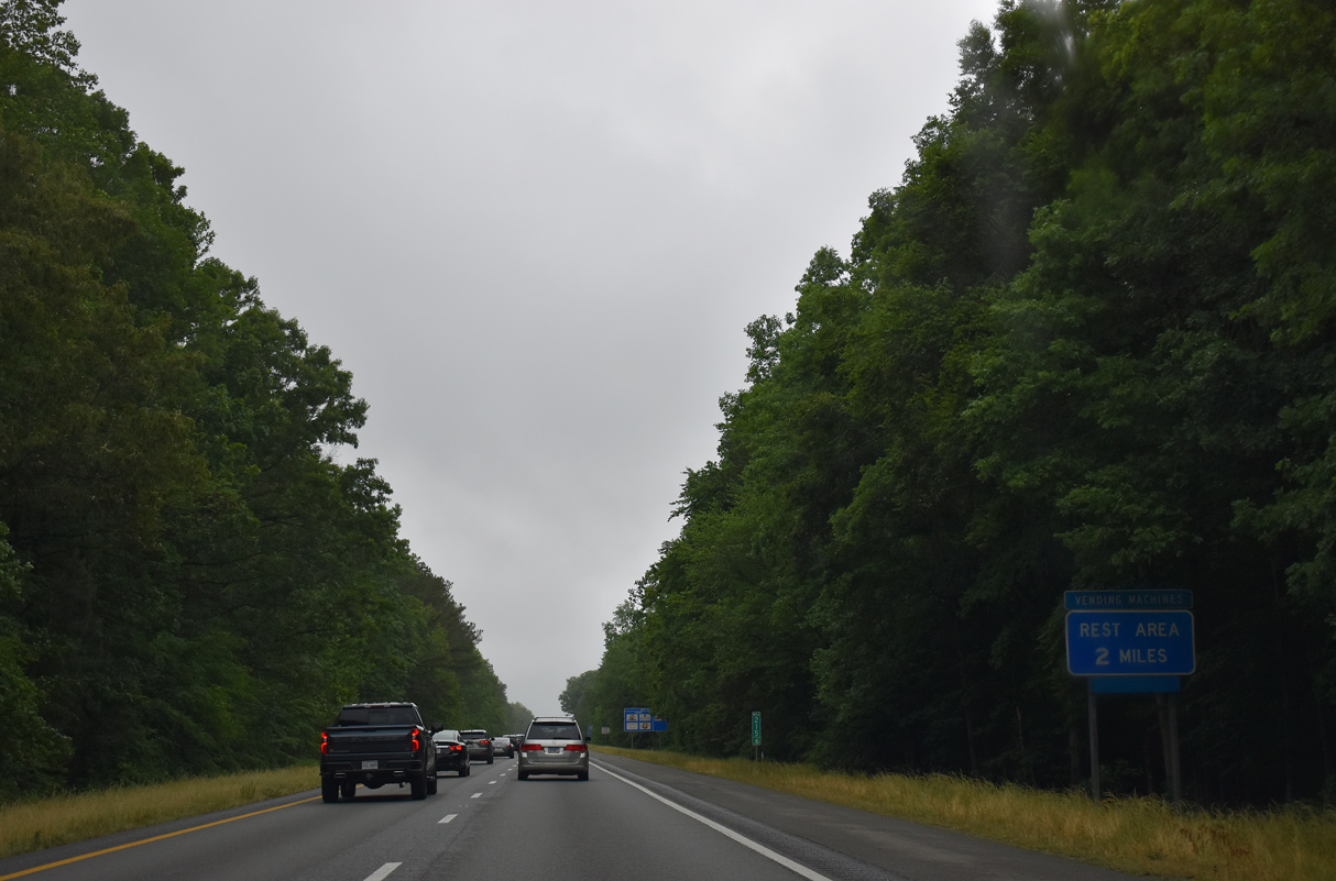
New Kent Safety Rest Area
05/29/21
05/29/21
05/29/21
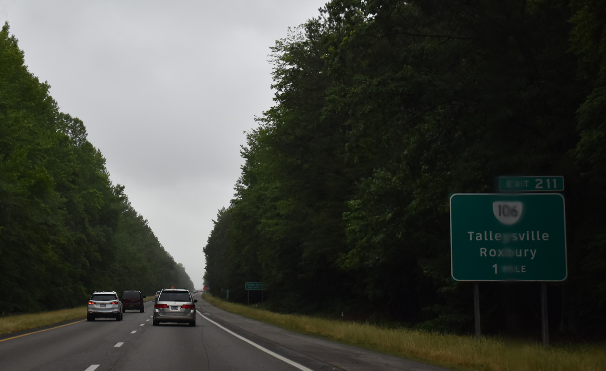
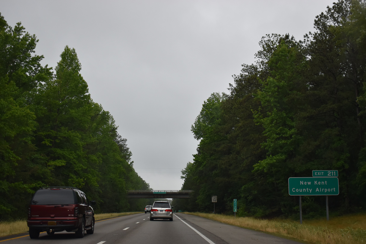
SR 106 (Vineyards Parkway) stems 1.47 miles south from SR 249 at Talleysville to a diamond interchange with I-64/SR 33 at Exit 211.
05/29/21
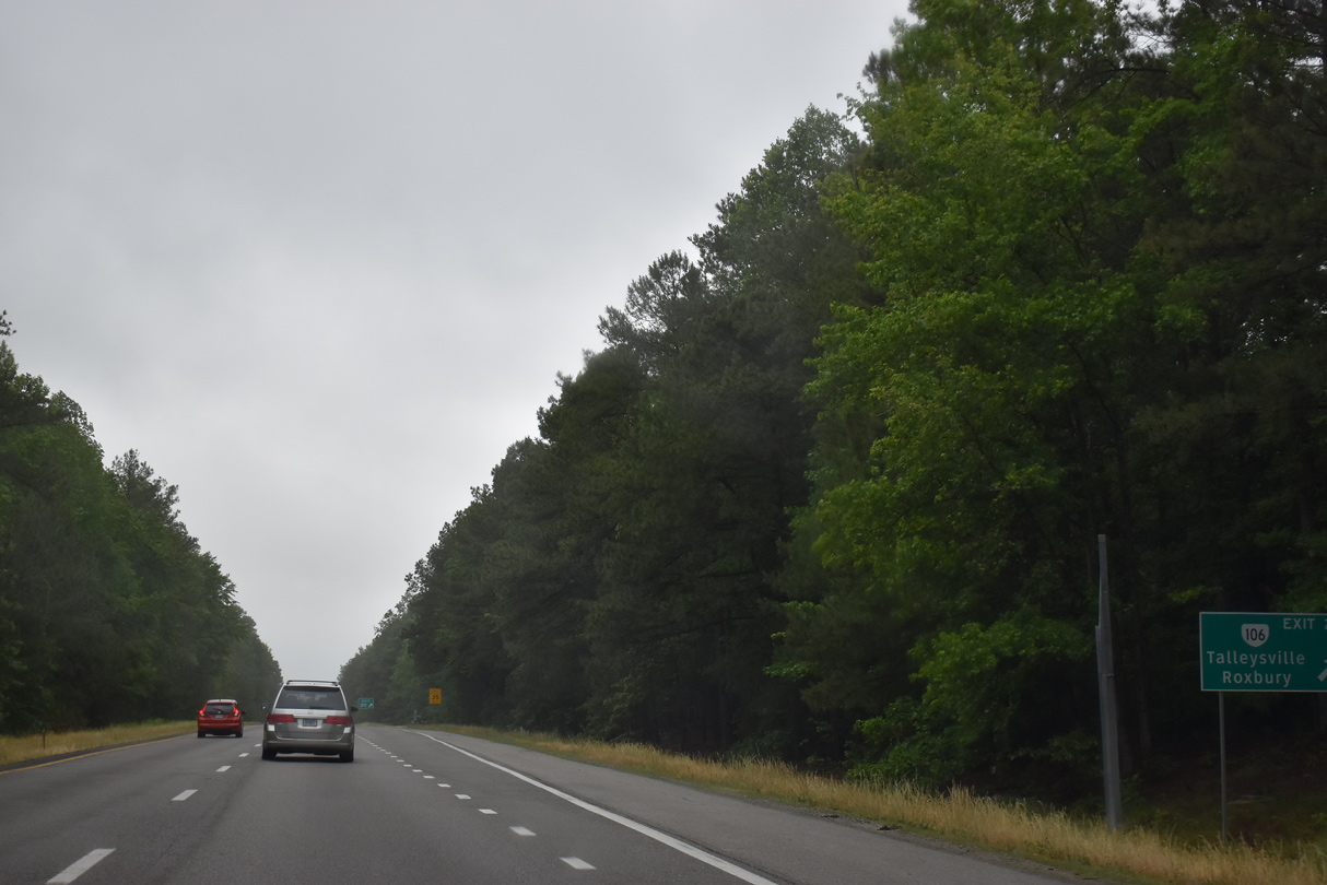
South of Exit 211, SR 106 (Emmaus Church Road) travels to Roxbury. Beyond the Benjamin Harrison Memorial Bridge spanning the James River with SR 156, SR 106 arcs southwest to Prince George and U.S. 460 in Petersburg.
05/29/21

05/29/21

05/29/21

05/29/21

05/29/21
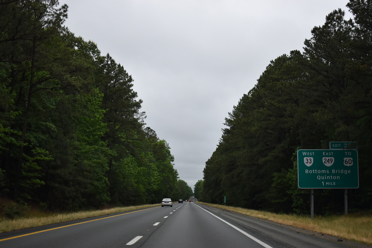
SR 249 (New Kent Highway) runs 6.61 miles west from SR 106 at Tallyville to Quinton and a parclo interchange (Exit 205) with I-64/SR 33.
05/29/21
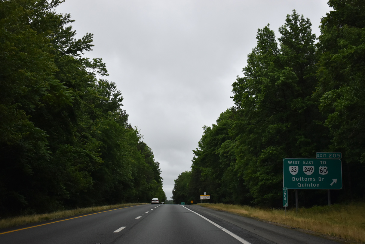
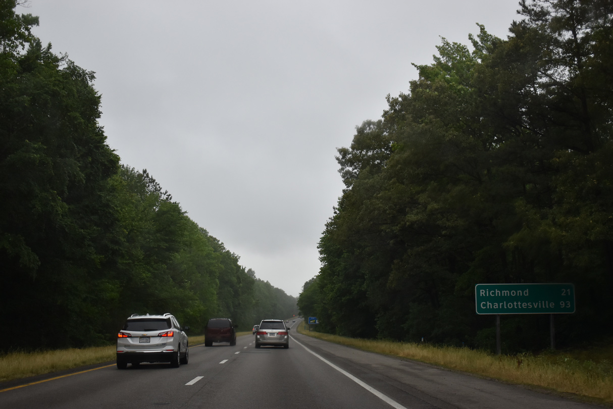
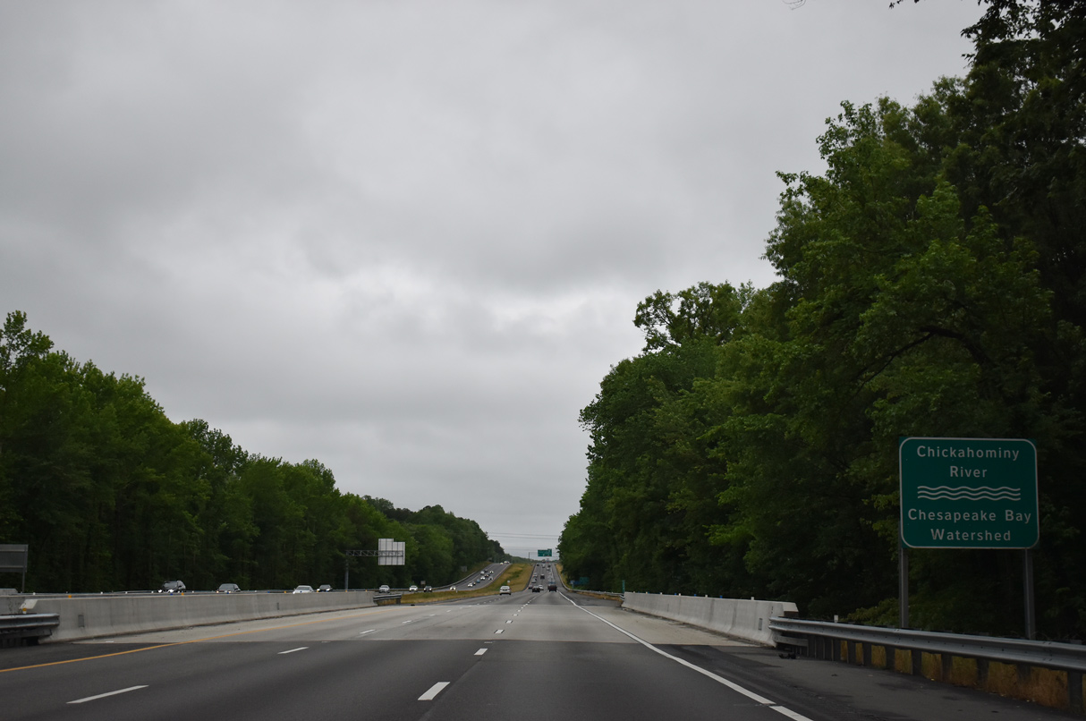
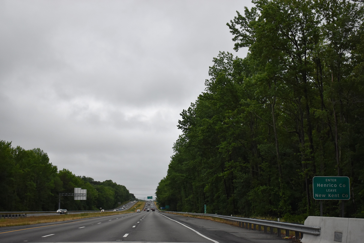
SR 33 overtakes New Kent Highway from SR 249 between Exit 205 and parallel U.S. 60. U.S. 60/SR 33 cross the Chickahominy River west into Henrico County at Bottoms Bridge.
05/29/21
West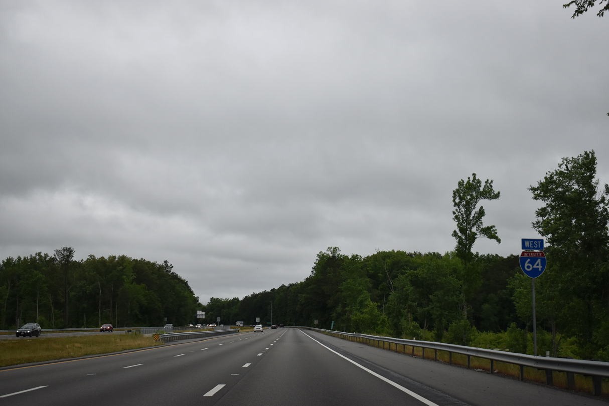
05/29/21
05/29/21
05/29/21
05/29/21
- "State Won't Guess When Ride Will End." Daily Press (Newport News, VA), November 4, 2001.
- "No More Beating Around the Busch - I-64 Exit Finally Opening." Daily Press (Newport News, VA), March 9, 2002.
Photo Credits:
05/28/21, 05/29/21, 05/26/22 by AARoads
Connect with:
U.S. 60
State Route 33
State Route 199
Page Updated 12-13-2022.