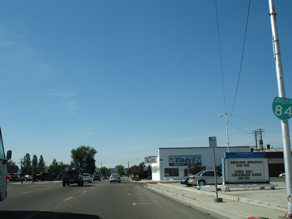
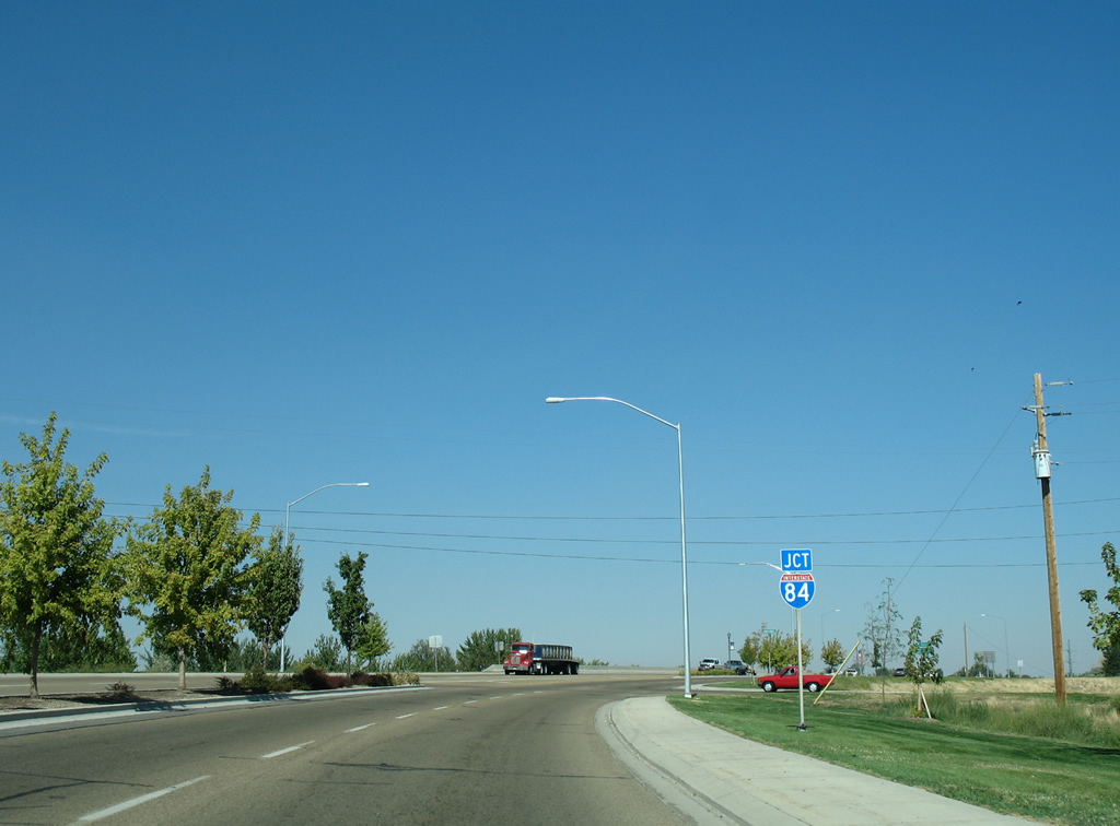
Traveling 13.415 miles, the Canyon County Business Loop for Interstate 84 loops south through both Caldwell and Nampa between Exits 27 and 38. Beginning at a diamond interchange with Centennial Way, the business route arcs southward from the Boise River to a one way couplet of Cleveland Boulevard (east) and Blaine Street (west) through Caldwell. Cleveland Boulevard is former SH 19 west from Tenth Avenue and former U.S. 30 east from 10th.
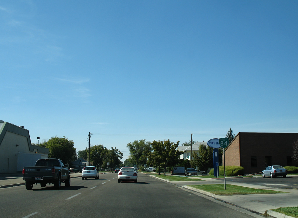
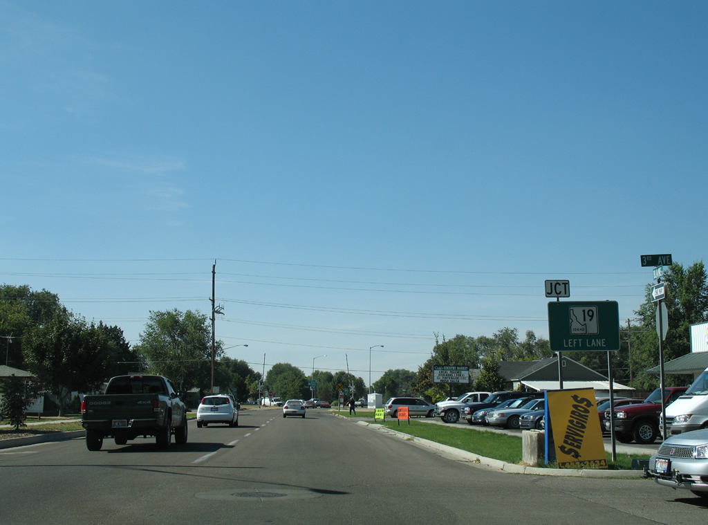
The split directions of Business Loop I-84 combine ahead of the Cleveland Boulevard intersection with Linden Boulevard, as old U.S. 30 continues southeast from Caldwell to Midway, Karcher Junction and the city of Nampa. Following Caldwell Boulevard, Business Loop I-84 enters Nampa ahead of a second one way couplet using 3rd Street (east) and 2nd Street (west). This split takes the business route to 11th Avenue in Downtown Nampa, which U.S. 30 utilized to Garrity Boulevard east. Garrity Boulevard comprises an industrial arterial, returning Business Loop I-84 east to I-84 near Tiegs Corner. Old U.S. 30 travels north from there one half mile to Franklin Road east to Meridian.
|
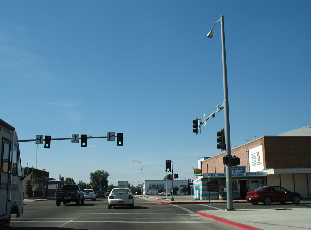
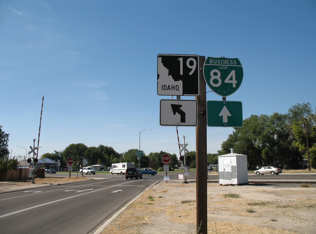
| Signs for both Business Loop I-84 east and SH 19 west posted at Exit 27 from I-84/U.S. 20-26-30 west in Caldwell. Typically business loops are only acknowledged at one end from the parent route. 08/31/06 |
|
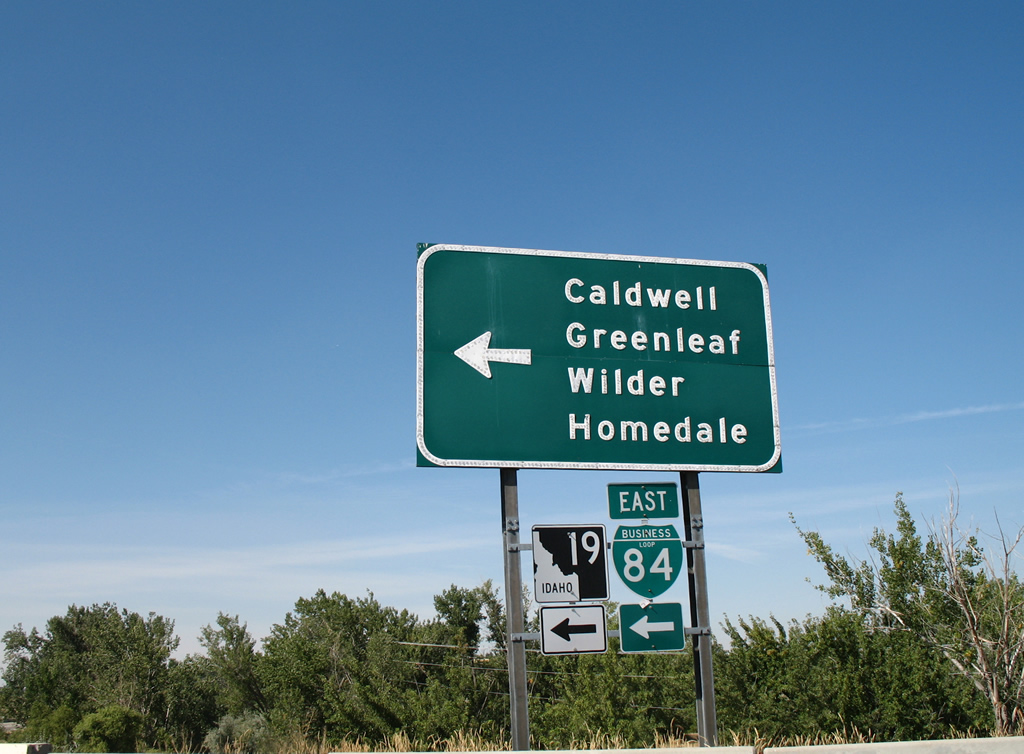
| I-84/U.S. 20-26-30 proceed across the Boise River from the west end of Business Loop I-84 in Caldwell. SH 19 is posted alongside Centennial Way south to Simplot Boulevard, where the state highway branches west to Greenleaf and Wilder. 08/31/06 |
|
| Passing over I-84, Centennial Way reaches the eastbound entrance ramp for I-84/U.S. 20-26-30 to Boise. 08/31/06 |
|
| Channelized Indian Creek flows alongside Business Loop I-84 (Blaine Street) west between 9th and 7th Avenues through central Caldwell. A decorative pedestrian bridge spans the creek on Blaine Street ahead of Kimball Avenue. 08/31/06 |
|
| Kimball Avenue angles southwest from Blaine Street to Memorial Park and Paynter Avenue and northeast to the I-84 south side Frontage Road. 08/31/06 |
|
| A reassurance marker for Business Loop I-84 was posted beyond Kimball Avenue along Blaine Street west. This shield was removed when Blaine Street was street scaped. That coincided with work for a linear park along adjacent Indian Creek. 08/31/06 |
|
| A reassurance shield for Business Loop I-84 stands along Blaine Street by Caldwell City Hall, west after 5th Avenue. 08/31/06 |
|
| A small guide sign precedes the Business Loop I-84 junction with SH 19 (Simplot Boulevard) west at 3rd Avenue. 08/31/06 |
|
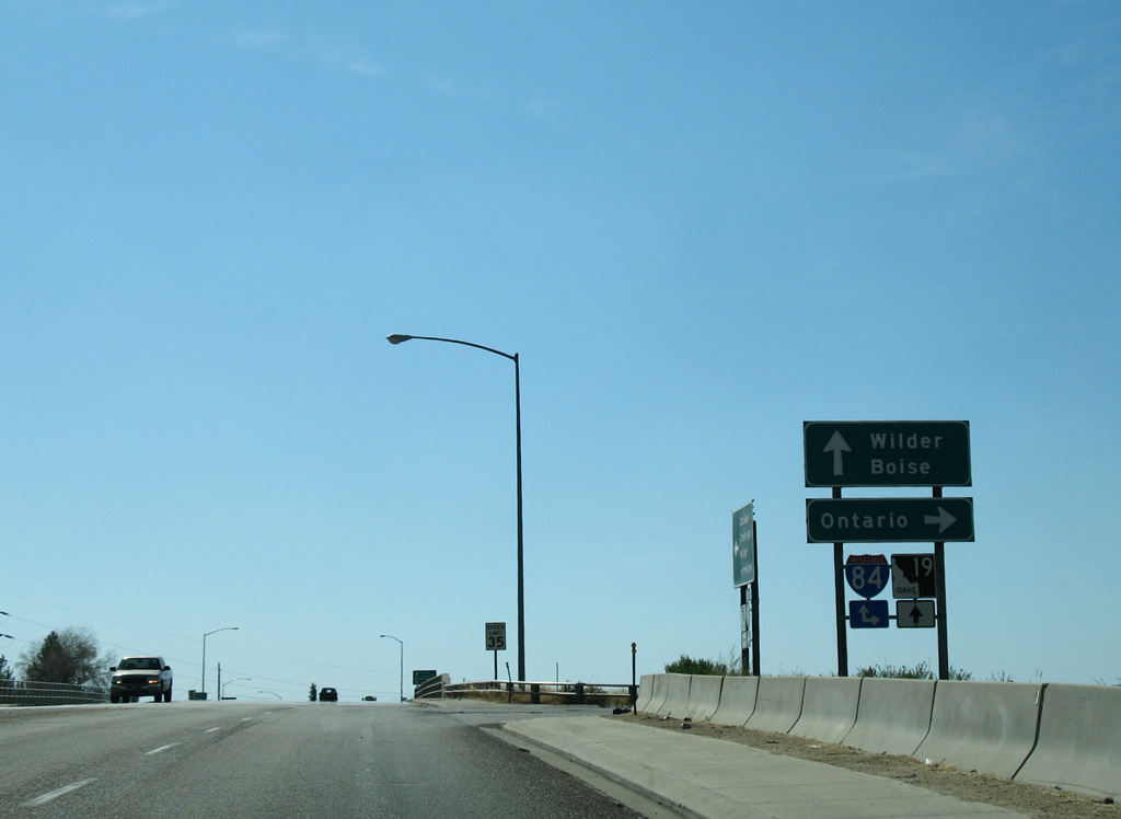
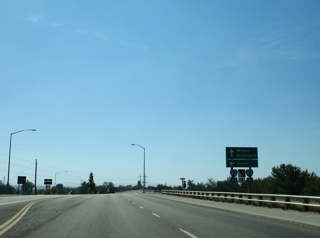
| Blaine Street turns to form northbound Centennial Way at the east end of SH 19. SH 19 constitutes a 19.92 mile long route west from Caldwell to U.S. 95 near Wilder and with U.S. 95 south to Homedale. The state highway concludes as Oregon Route 201, southeast of Adrian. 08/31/06 |
|
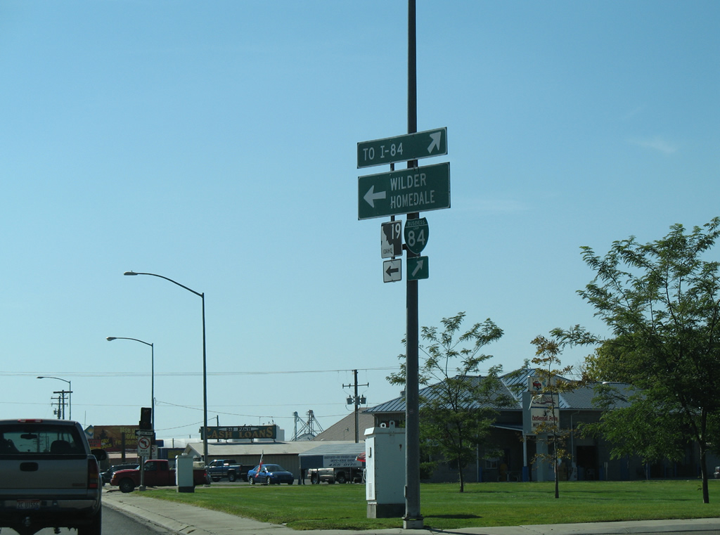
| This set of shields for Business Loop I-84 and SH 19 was removed as the guide signs for Wilder, Homedale and TO I-84 were replaced with a new ground level assembly. Centennial Way leads the Business Loop northward to Whittenberger Park while SH 19 parallels a Idaho Northern & Pacific Railroad line west to Greenleaf. 08/31/06 |
|
| Centennial Way comprises a four lane parkway north across Indian Creek and a Union Pacific Railroad line to Interstate 84 by the Boise River. 08/31/06 |
|
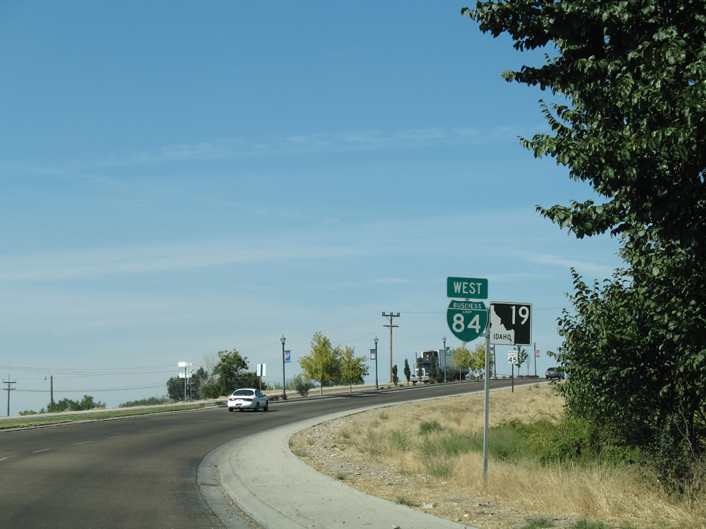
| Business Loop I-84 west after Chicago Street. SH 19 was decommissioned from Simplot Boulevard north to I-84 after 2006, though signage remained along the eastbound loop along Centennial Way. 08/31/06 |
|
| Centennial Way lines Whittenberger Park to the diamond interchange with Interstate 84. Freeport Street ties into the Business Loop in this scene. 08/31/06 |
|
| The first of two end shields for Business Loop I-84 west precedes the eastbound on-ramp to Interstate 84 and U.S. 20-26-30. 08/31/06 |
|
| Shields for U.S. 20/26 are omitted on signs for the eastbound I-84 entrance ramp. The four routes overlap east through Caldwell to Exit 29, where U.S. 20/26 break off for Maddens and Boise. I-84/U.S. 30 remain cosigned to Exit 137 at Bliss. 08/31/06 |
|
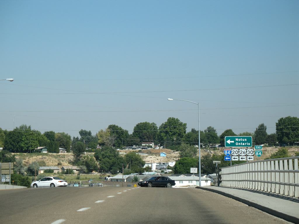
| A second end shield for Business Loop I-84 appears in the sign assembly for the entrance ramp for U.S. 20/26 west to Notus and I-84/U.S. 30 northwest to Ontario. 08/31/06 |
|
| Centennial Way continues a short distance beyond Business Loop I-84 to become Madison Street east to Illinois Avenue. 08/31/06 |
Page Updated 11-04-2013.

 East
East