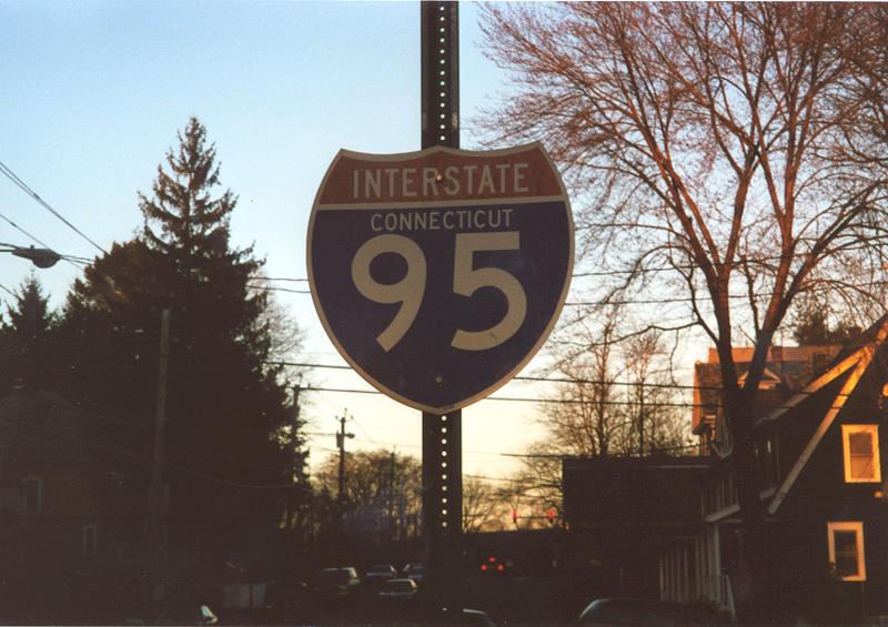
Interstate 95 hugs the southern coast of Connecticut with Long Island Sound between New York and Rhode Island. The freeway follows the Connecticut (Governor John Davis Lodge) Turnpike from the New England Thruway at Port Chester, New York to Landers Village at Interstate 395. The turnpike is a toll-free facility.
The Connecticut Turnpike is a heavily traveled thoroughfare through such cities as Stamford, Norwalk, Bridgeport, and New Haven. The older design standard of the freeway features an interchange at almost every mile of the turnpike. The numerous entrance and exit ramps cause slowing on the Interstate 95 mainline due to the weaving traffic concerns. Service plazas remain in use along Interstate 95 from the turnpike days serving food, fuel, and tourist information.
The Connecticut Turnpike opened to traffic on January 2, 1958. The west end opening preceded completion of the New England Thruway by a year, leading motorists through Greenwich and Stamford in the interim. A 100-foot section of the Mianus River Bridge in Greenwich collapsed on June 28, 1983. The incident claimed the lives of three motorists and injured several others. Tolls along the Turnpike were dropped in 1986.1
Further east at Groton, the free-section of Interstate 95 opened to traffic after a ceremony held on December 15, 1964.1 This extended the route into Rhode Island.
Interstate 95 Connecticut Guides
|
| Delavan Avenue east approaching Interstate 95 (Exit 1) at Byram. Delavan Avenue continues Mill Street east from Port Chester, New York to I-95 at Byram Road, Ritch Avenue and Byram Shore Road. 03/15/00 |
|
| Woodmont Road meets Interstate 95 in the city of Milford at Exit 40. This button copy sign, replaced by 2011, was posted along Woodmont Road north at I-95 opposite Old Gate Lane west. 07/27/07 |
|
| R.I. 216 (High Street) in Bethel becomes Connecticut Route 216 (Clarks Falls Road) just ahead of a diamond interchange (Exit 93) with I-95. The two roads converge in a rural area near Clarks Falls in the Town of North Stonington. 06/26/05 |
|
| Route 216 (Clarks Falls Road) south at I-95 in North Stonington. 06/26/05 |
|
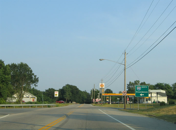
| Route 216 (Clarks Falls Road) south at the I-95 entrance ramp to Providence. Route 216 extends into Rhode Island in 0.2 miles en route to Ashaway and Bradford. The multi state route ends 8.5 miles southeast of I-95 at U.S. 1 near the coast. 06/26/05 |
|
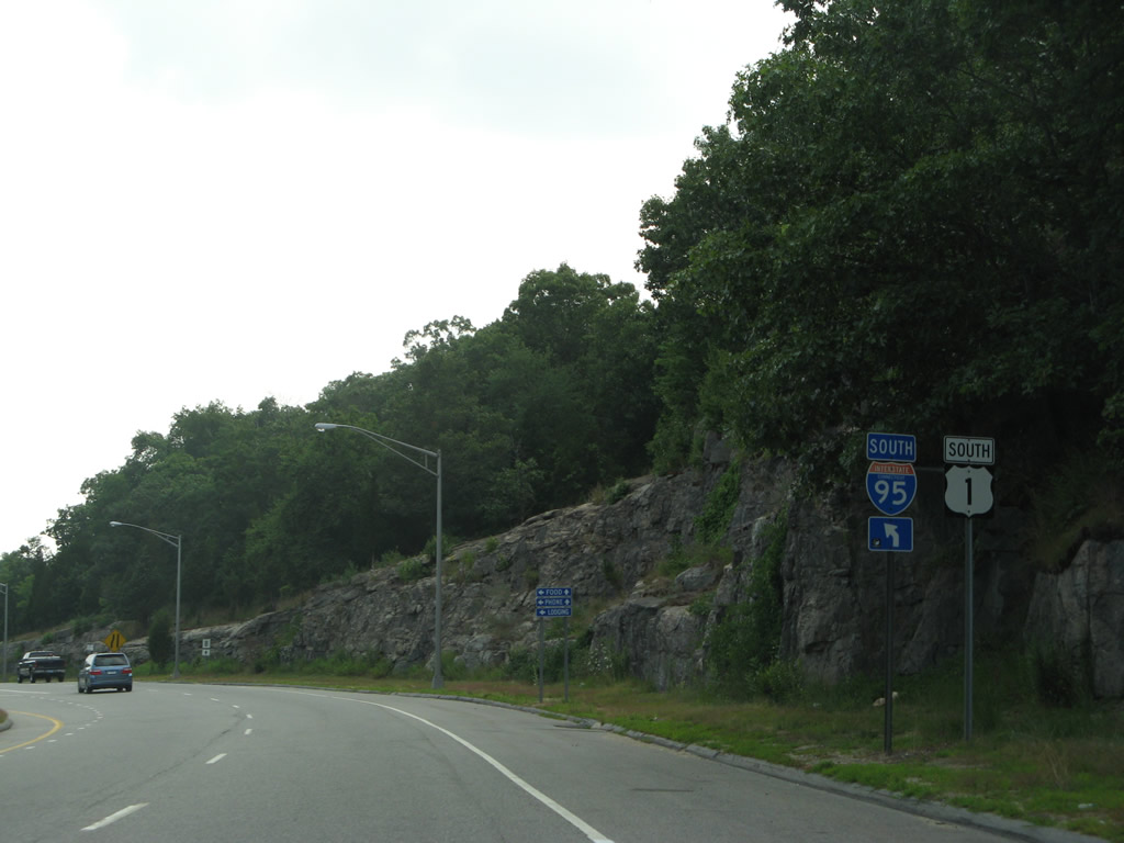
| U.S. 1 and I-95 intertwine in a valley between Sodom and Oswegatchie Hill at Golden Spur and Exit 75. U.S. 1 widens into separate roadways just west of I-95 to accommodate the left side entrance ramp for New Haven. 07/28/07 |
|
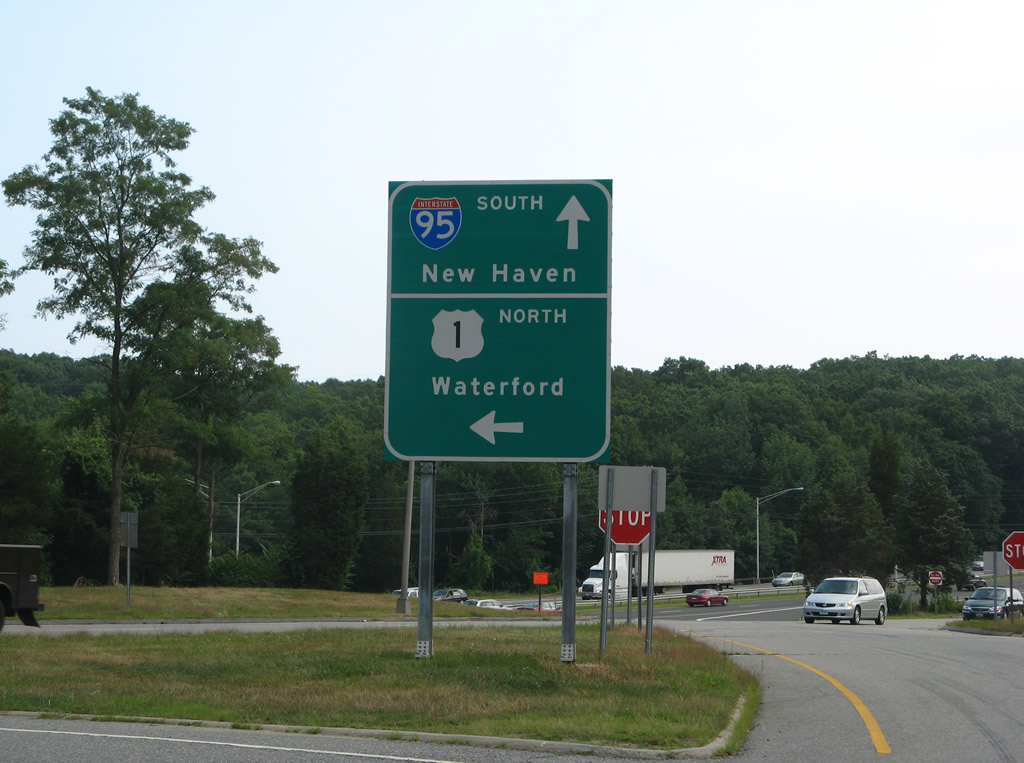
| A U-turn ramp provides return access to U.S. 1 north to Waterford for motorists taking I-95 south. 07/28/07 |
|
| U.S. 1 northbound reduces to two lanes east of I-95 (Exit 75) across the Niantic River. 07/28/07 |
|
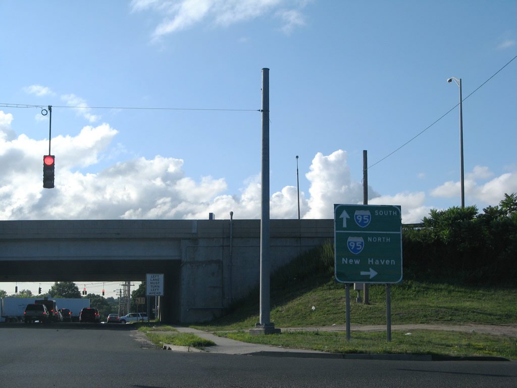
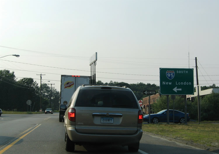
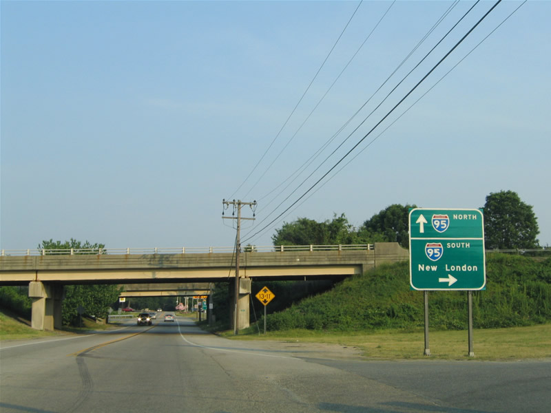
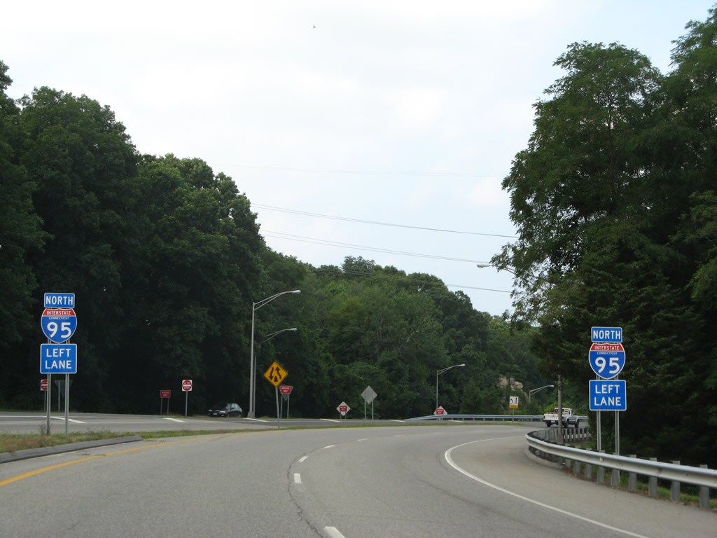
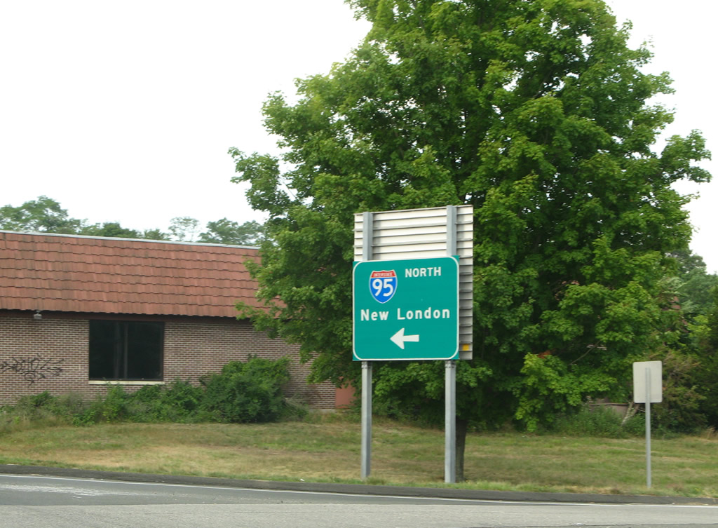
| Interstate 95 north next splits with I-395 for New London. U.S. 1 stays south of the freeway from Golden Spur through Waterbury before joining the freeway again across the Gold Star Memorial Bridge. 07/28/07 |
|
| Button copy sign at the Connecticut Welcome Center and North Stonington Rest Area along southbound Interstate 95. 07/28/07 |
Photo Credits:- 03/15/00 by AARoads.
- 06/26/05 by AARoads and Carter Buchanan.
- 07/27/07 by AARoads.
- 07/28/07 by AARoads.
Connect with:
Interstate 91
Route 2
Page Updated 03-14-2023.


 scenes