|
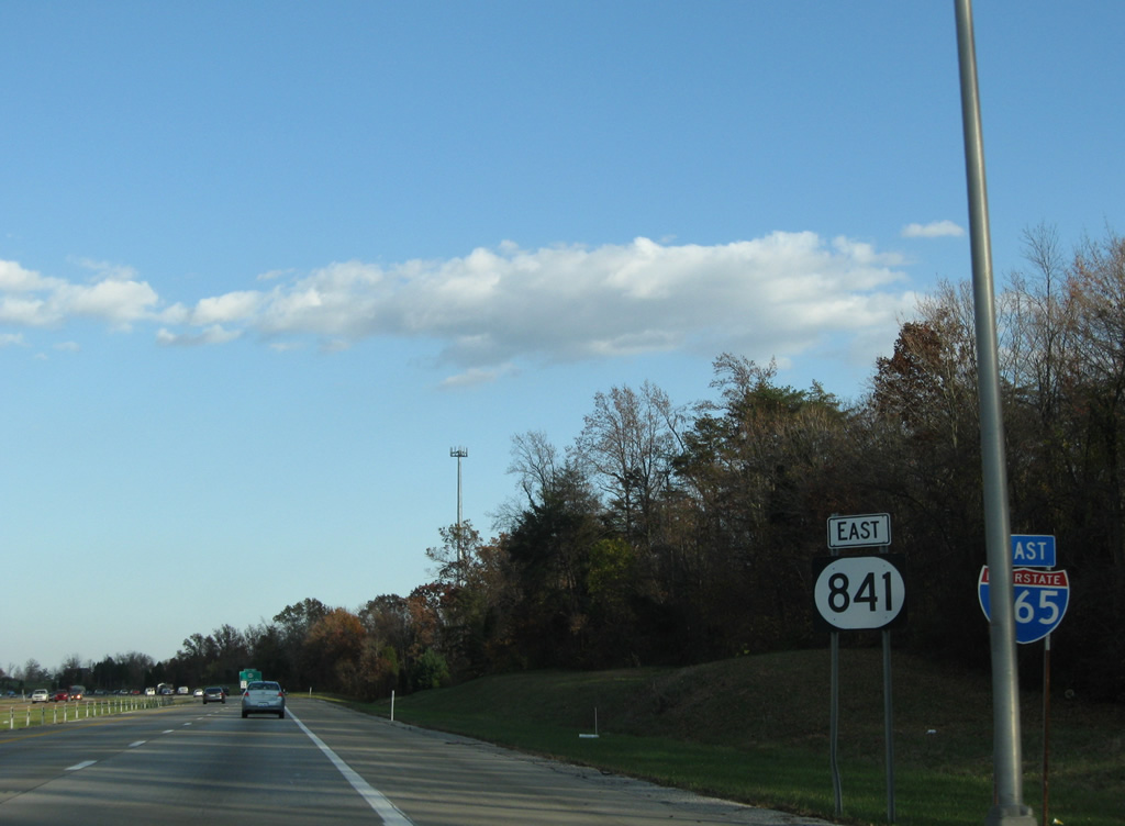
| I-265/KY 841 leave the Interstate 65 directional cloverleaf interchange and approach KY 61 (Preston Highway). 11/04/09 |
|
| Passing over KY 1450 (Blue Lick Road), drivers see the first set of shields for I-265/KY 841 east. 11/04/09 |
|
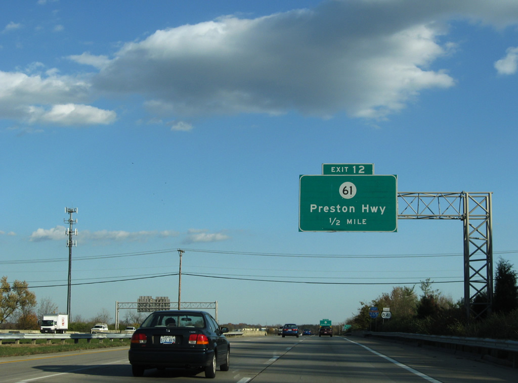
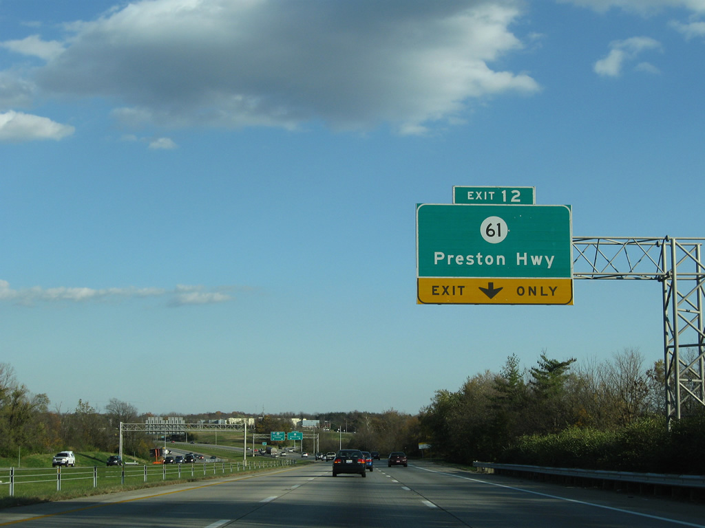
| An auxiliary lane joins the four lane freeway for the Exit 12 off-ramp to KY 61 (Preston Highway). KY 61 leads south to Hillview in Bullitt County. A flyover ramp connects Preston Highway north with the Gene Snyder Freeway west. 11/04/09 |
|
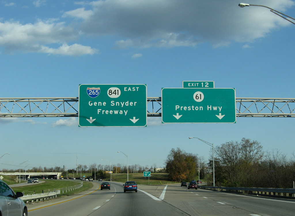
| Exit 12 departs as a two lane off-ramp to KY 61 (Preston Highway). KY 61 parallels Interstate 65 south to Lebanon Junction and north to downtown Louisville. 11/04/09 |
|
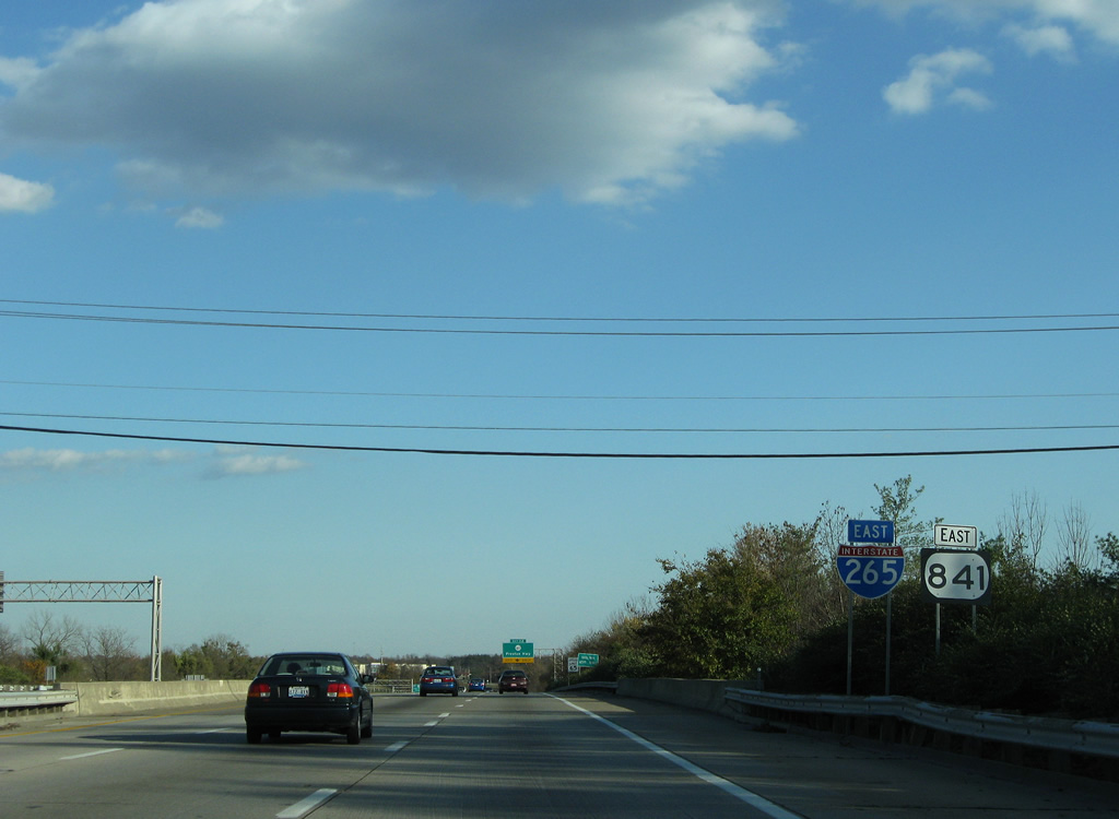
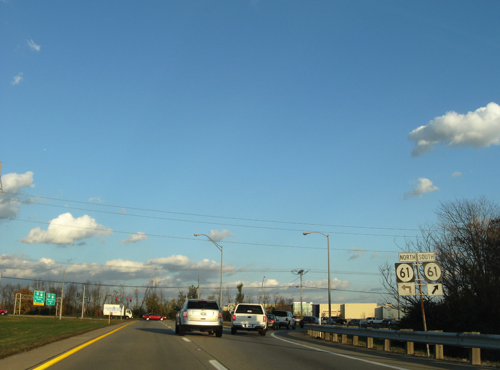
| KY 61 shields posted at the Exit 12 off-ramp end at Preston Highway. SR 61 generally parallels Interstate 65 northward along a commercialized route to Lynnview. 11/04/09 |
|
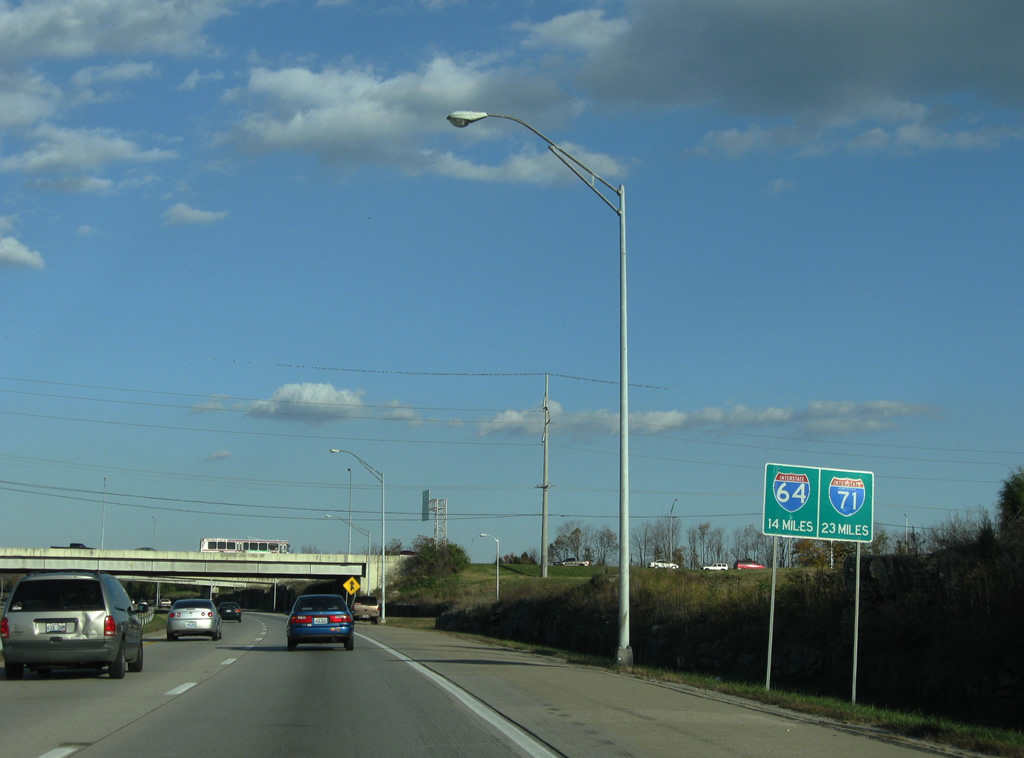
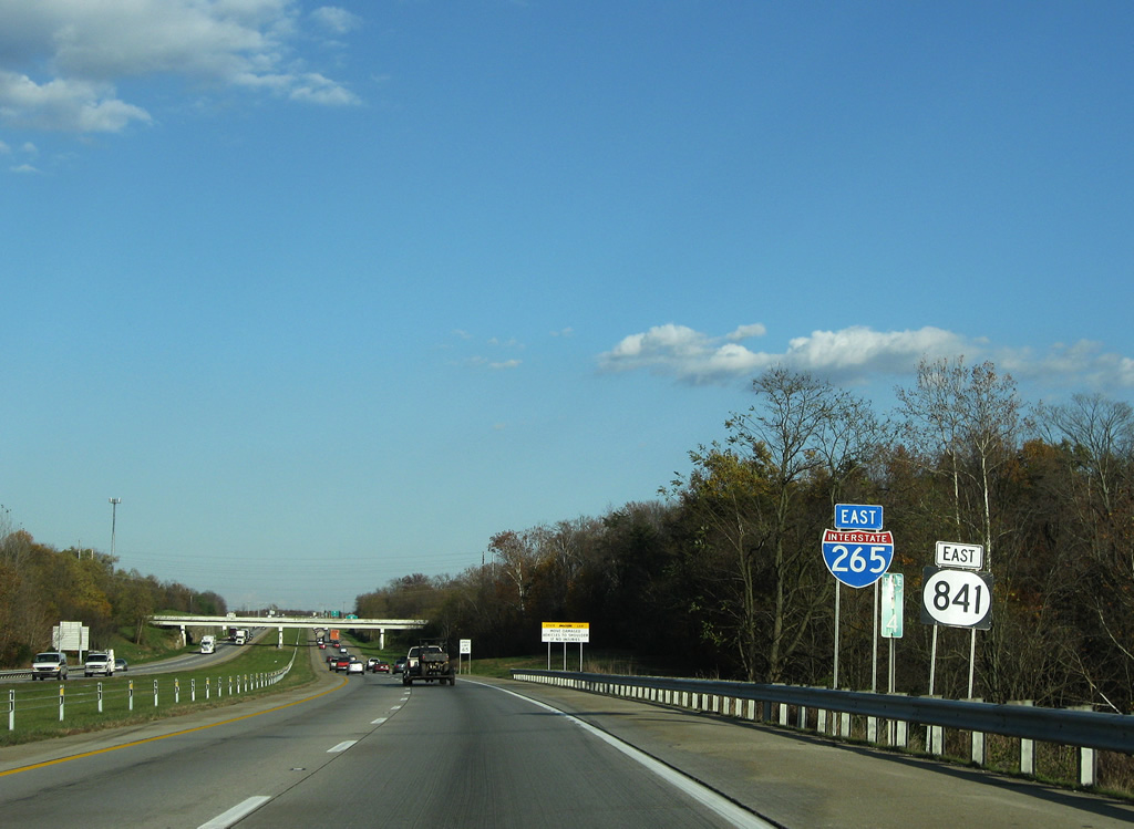
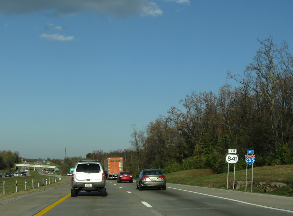
| This small distance signs lists the distances to the junctions with Interstate 64 and 71. Interstate 265 mainly serves as a commuter freeway, but when the new Ohio River bridge is completed, slated for 2017 or 2018, I-265 will act as a bypass for Interstate 64 traffic from Indiana to Lexington. 11/04/09 |
|
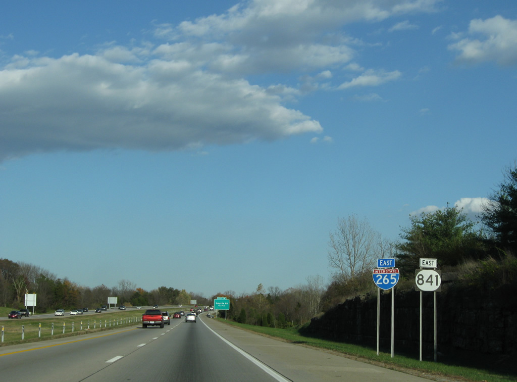
| Reassurance shields posted for I-265/KY 841 east by a rock cut after Exit 14. 11/04/09 |
|
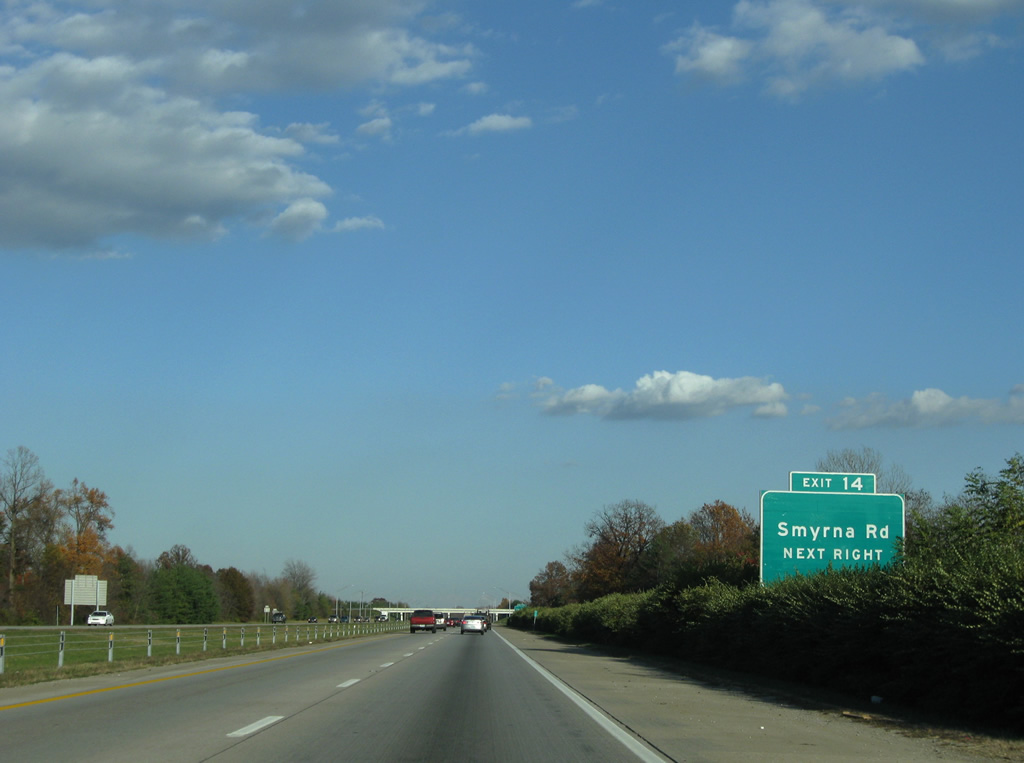
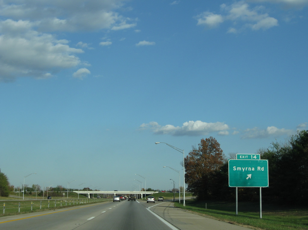
| Residential subdivisions abut the south side of I-265/KY 841 to the Exit 14 diamond interchange with Smyrna Road. 11/04/09 |
|
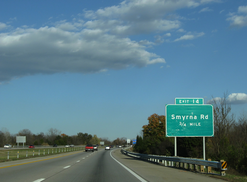
| Smyrna Road leads north to the Smyrna community and KY 1065 (Outer Loop) and south to Cooper Chapel Road nearby. 11/04/09 |
|
| Exit 14 leaves I-265/KY 841 east for Smyrna Road. Smyrna Road intersects parallel KY 2845 (Manslick Road) just north of I-265 ahead of a cluster of residential subdivisions. Cooper Chapel Road stems east from KY-61 to KY-864 on a parallel course to the south side of the freeway. 11/04/09 |
|
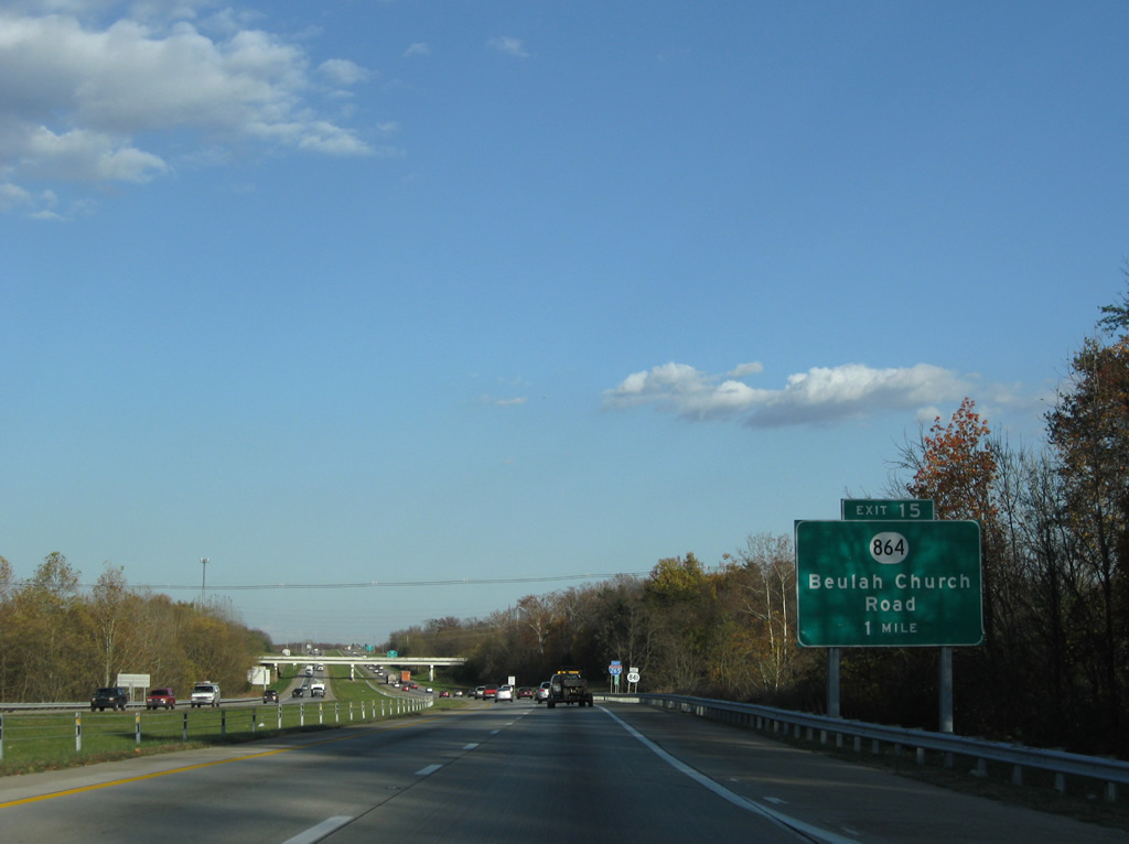
| Kinking northward, I-265/KY 841 next approach the Exit 15 diamond interchange with KY 864 (Beulah Church Road). 11/04/09 |
|
| Vaughn Mill Road passes over I-265/KY 841 beyond this set of reassurance shields. 11/04/09 |
|
| One quarter mile west of the Exit 15 off-ramp to KY 864 along Interstate 265 east. KY 864 travels a convoluted path from its beginning at KY 2053 (Mount Washington Road) via Cedar Creek, Cooper Chapel and Beulah Church Roads to Interstate 264. 11/04/09 |
|
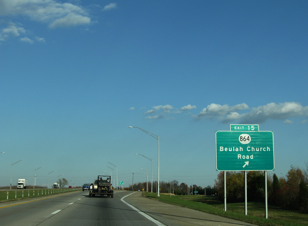
| Eastbound I-265/KY 841 reach the Exit 15 ramp departure to KY-864. Continuing north, the state highway increases in importance, using Poplar Level Road northwest to Watterson Park. 11/04/09 |
|
| Approaching the crossing of Little Cedar Creek and Johnson School Road along I-265/KY 841, southeast of Highview. 11/04/09 |
|
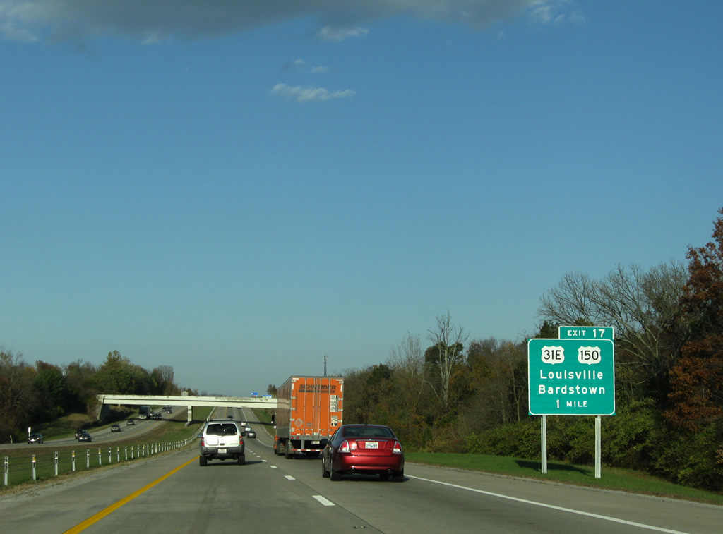
| A six-ramp parclo interchange (Exit 17) joins I-265/KY 841 with U.S. 31E & 150 (Bardstown Road) in one mile. U.S. 31E & 150 share a 37 mile overlap from near downtown Louisville to Bardstown. 11/04/09 |
|
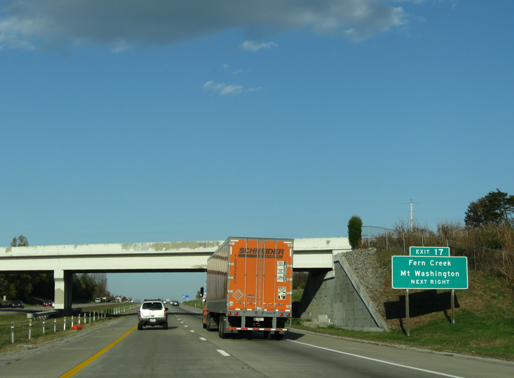
| U.S. 31E north & 150 west connect Interstate 265 with the Fern Creek community to the north of Gene Snyder Freeway. Southward the tandem continue seven miles to the Bullitt County city of Mount Washington. 11/04/09 |
|
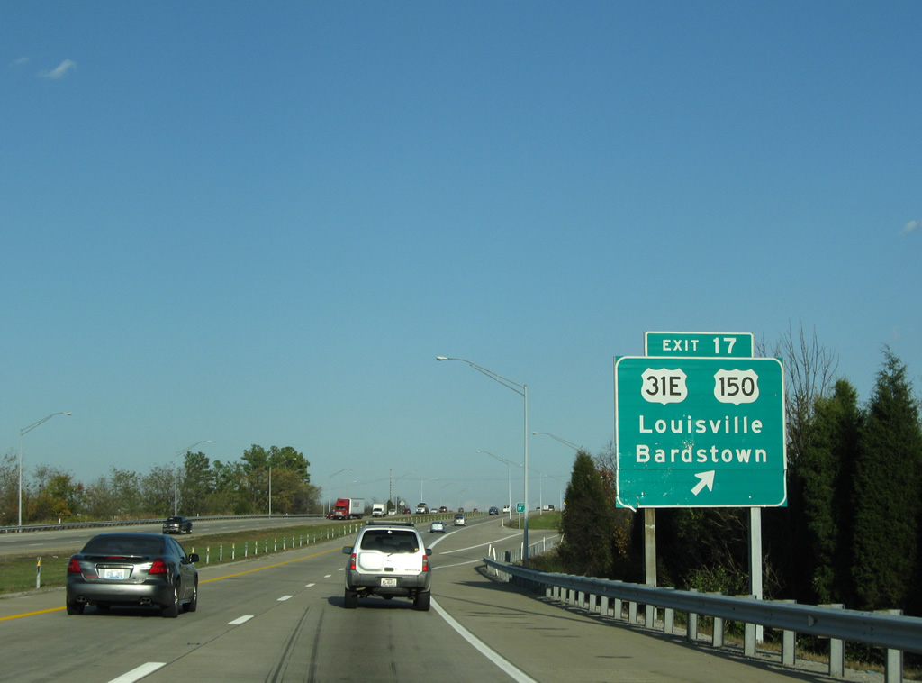
| Exit 17 parts ways with the eastbound Gene Snyder Freeway. U.S. 31E & 150 (Bardstown Road) follow a suburban course southward to Fairmount and Thixton before crossing Floyds Fork into Bullitt County. U.S. 31E overall travels between Louisville and Nashville. U.S. 150 ends in Kentucky at Mount Vernon and concludes a 571 mile run at Moline, Illinois. 11/04/09 |
|
| Continuing east, I-265/KY 841 become more rural on the eastward swing toward Interstate 64. 11/04/09 |
|
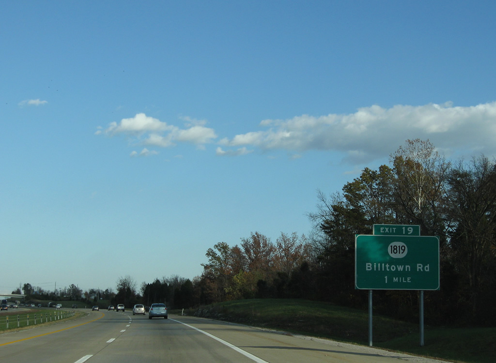
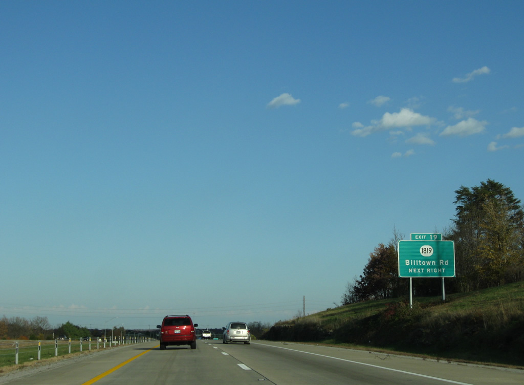
| KY 1819 (Billtown Road) crosses paths with the Gene Snyder Freeway at a diamond interchange (Exit 19) in one mile. 11/04/09 |
|
| A secondary route, KY 1819 arcs southward from KY 913 (Blankebaker Parkway) at Middletown through Jeffersontown along Billtown Road. 11/04/09 |
|
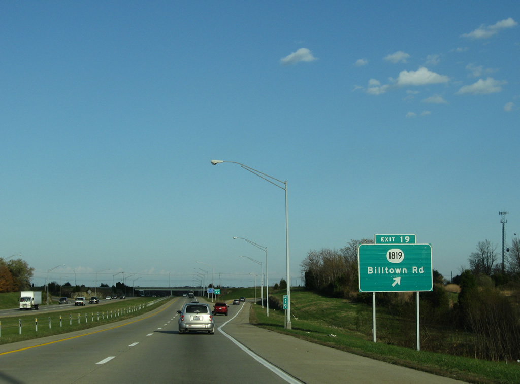
| Exit 19 departs I-265/KY 841 east. KY 1819 joins Seatonville Road from Billtown Road nearby for a rural drive east onto Brush Run Road and KY 1531 (Routt Road). The state route totals 12.81 miles. 11/04/09 |
|
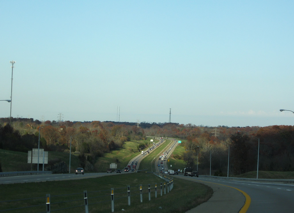
| Curving northeastward, Interstate 265 travelers lower into the Chenoweth Run valley. 11/04/09 |
|
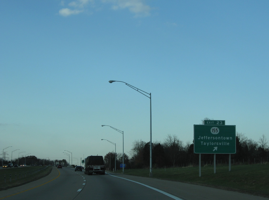
| KY 155 (Taylorsville Road) meets I-265/KY 841 to the east of Jeffersontown at Exit 23. 11/04/09 |
|
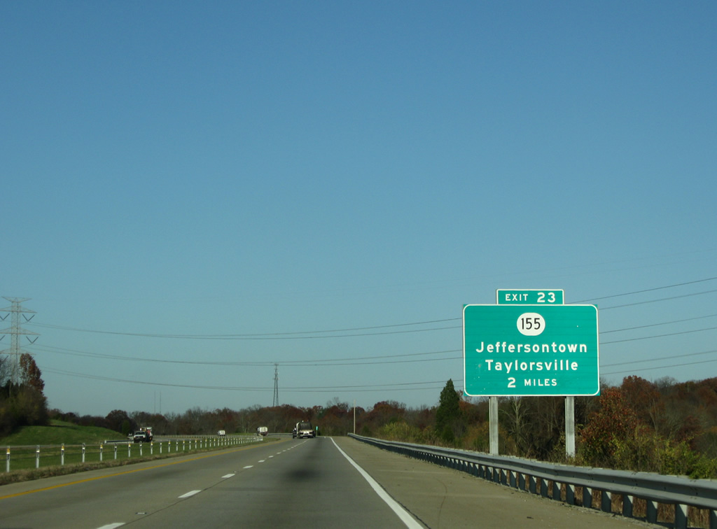
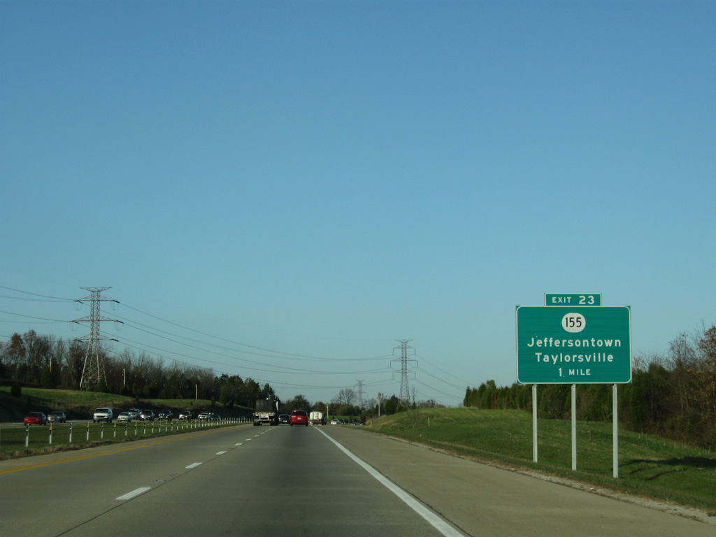
| One mile south of the Exit 23 diamond interchange with KY 155 (Taylorsville ROad). KY-155 angles southeast 16 miles from Interstate 265 to Elk Creek and 21 miles to Spencer County seat of Taylorsville. Interests to Taylorsville Lake State Park are advised to take the state route east to KY 44. 11/04/09 |
|
| Interstate 265 leaves the 1987-opened portion of Gene Snyder Freeway at Exit 23 with KY 155. KY 155 comprises the main route into the center of Jeffersontown. The town has about 27,000 making it the 11th largest city in Kentucky. When Louisville merged with its county, J-town stayed separate and now forms Louisville's largest incorporated suburb in Kentucky 11/04/09 |
Page Updated 03-06-2012.