|
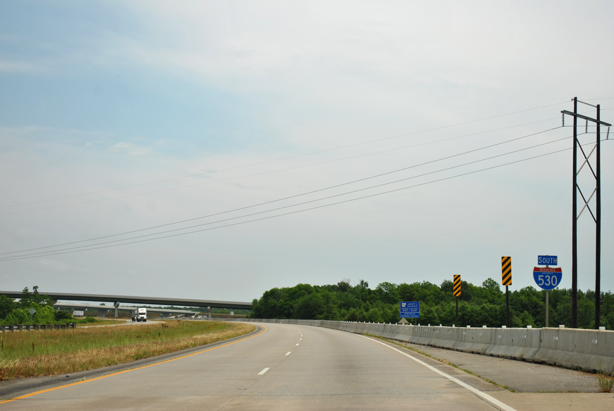
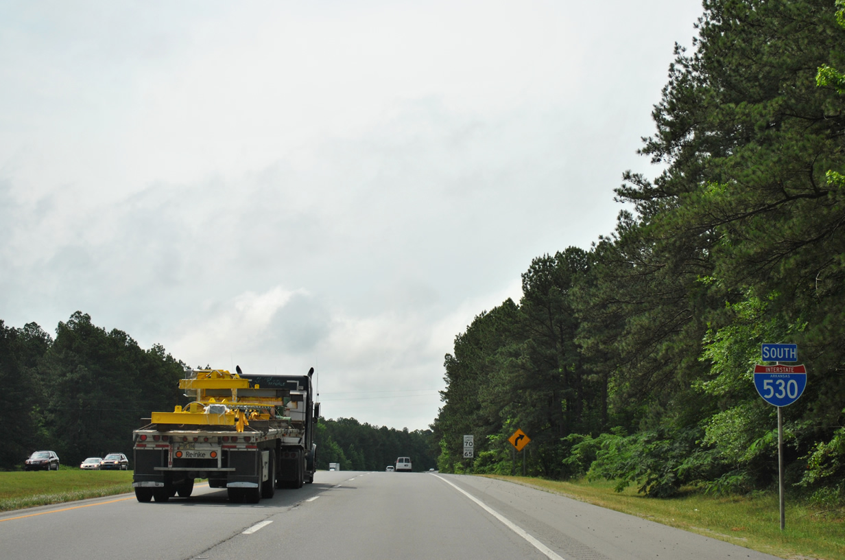
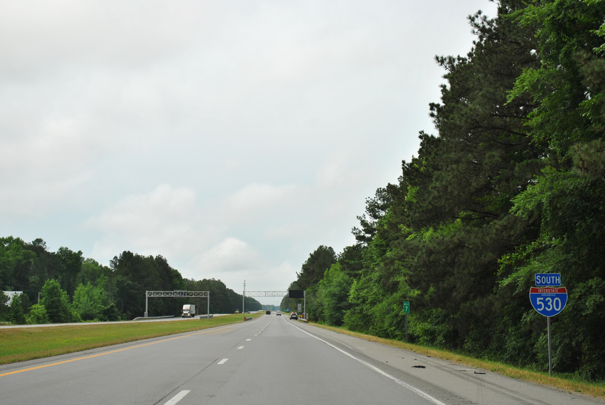
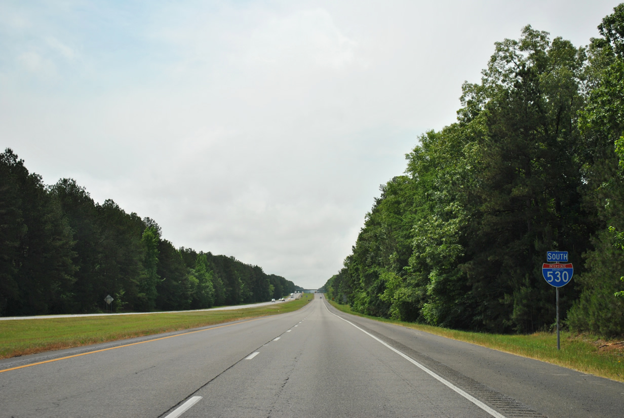
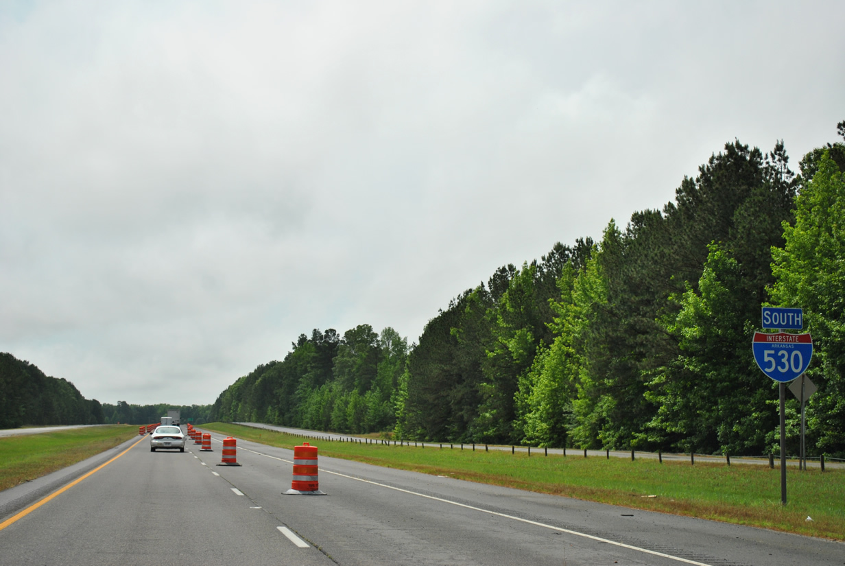
| Interstate 530 and U.S. 65 & 167 leave Little Rock, Interstates 30 & 440 behind as they head south toward Pine Bluff. Though not signed, U.S. 65 will follow Interstate 530 in its entirety while U.S. 167 departs in 10 miles for East End and Sheridan. The entire stretch to the U.S. 167 split was opened in December 1964 and represented the first link in the freeway connecting Little Rock and Pine Bluff.1 05/20/14 |
|
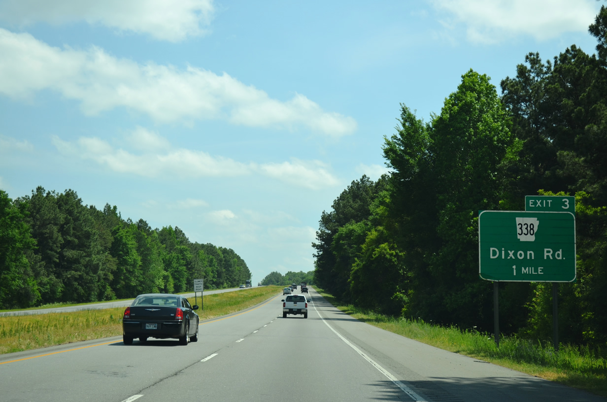
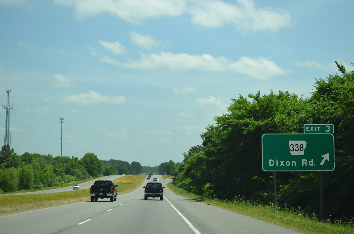
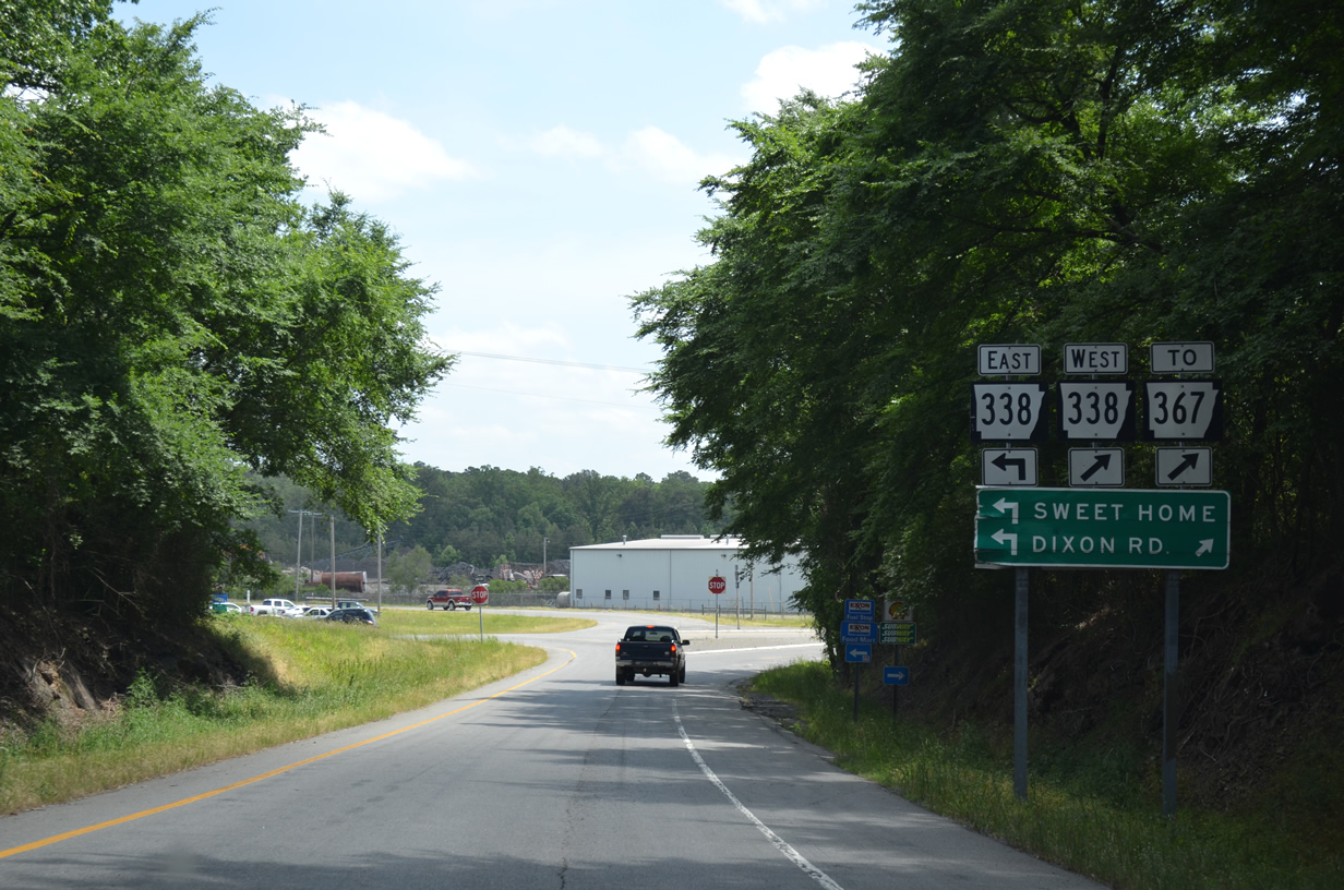
| The freeway approaches its first interchange at Exit 3 to Arkansas 338 (Dixon Road). Arkansas 338 travels southwest to Arkansas 367 (former U.S. 167) and north and east to Arkansas 365 (former U.S. 65) at Sweet Home. 05/20/14 |
|
| Drivers prepare to leave for Arkansas 338 (Dixon Road) to Sweet Home. 05/20/14 |
|
| Use Arkansas 338 to reach Arkansas 367 2.9 miles to the west. The two state highways share a 0.9 mile overlap north to Baseline Road which carries Arkansas 338 west toward Interstate 30 and Arkansas 5. 05/20/14 |
|
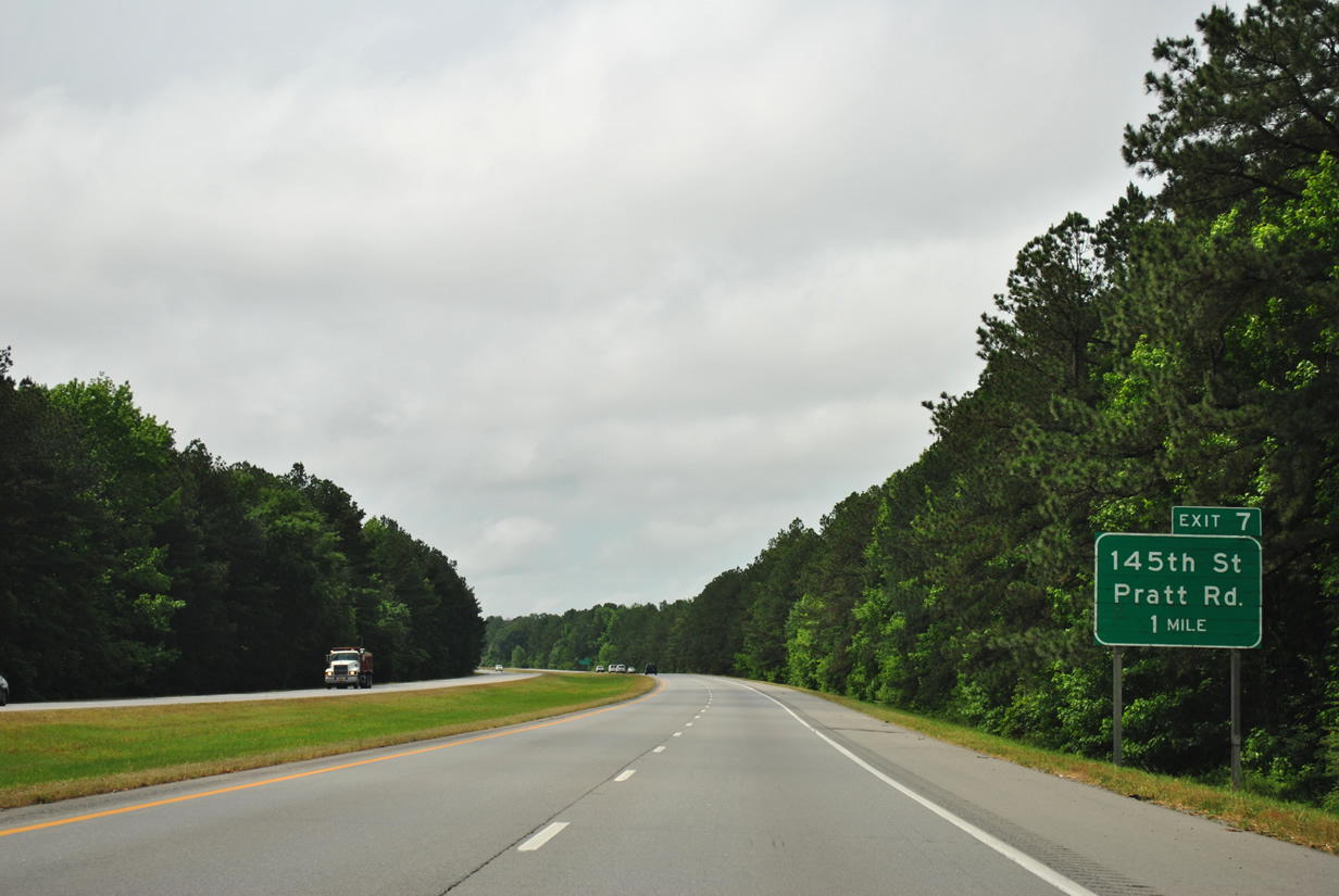
| Interstate 530 will next meet 145th Street / Pratt Road to Wrightsville in four miles. 05/07/12 |
|
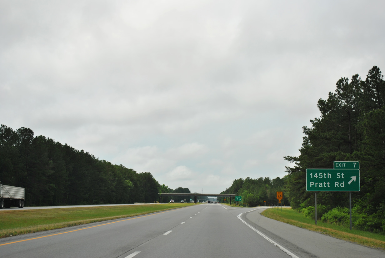
| On the one mile approach to 145th Street / Pratt Road (Exit 7). Pratt Road extends west from I-530 to Arkansas 367 near Landmark. 05/07/12 |
|
| 145th Street continues from Pratt Road and Interstate 530 east 2.8 miles to Arkansas 365 (old U.S. 65) in north Wrightsville. 05/07/12 |
|
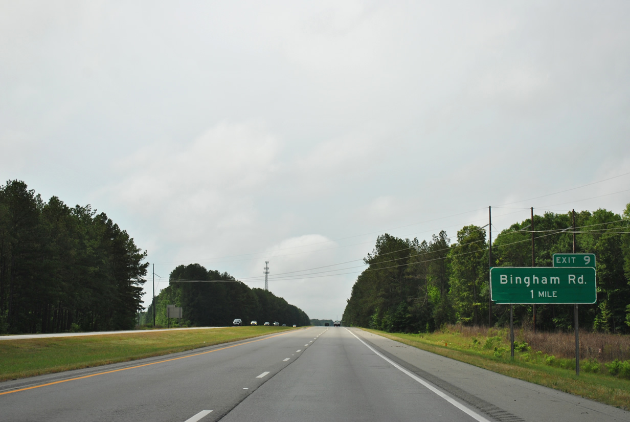
| U.S. 167 will split from Interstate 530 and U.S. 65 to Sheridan in three miles. A diamond interchange with Bingham Road (Exit 9) occurs just north of the forthcoming split. 05/07/12 |
|
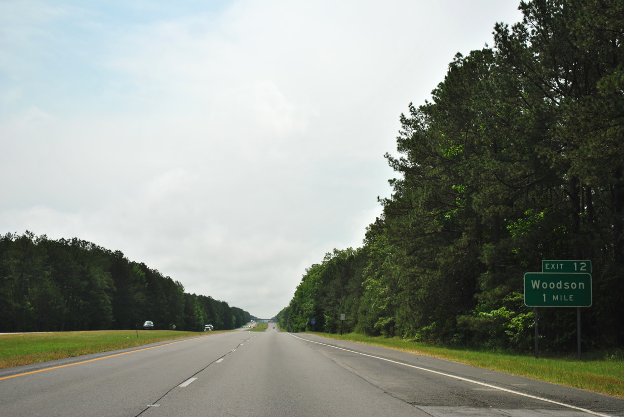
| Bingham Road is the final exit within this portion of Pulaski County on southbound Interstate 530. The freeway will reenter the county after Woodson Lateral Road (Exit 12). 05/07/12 |
|
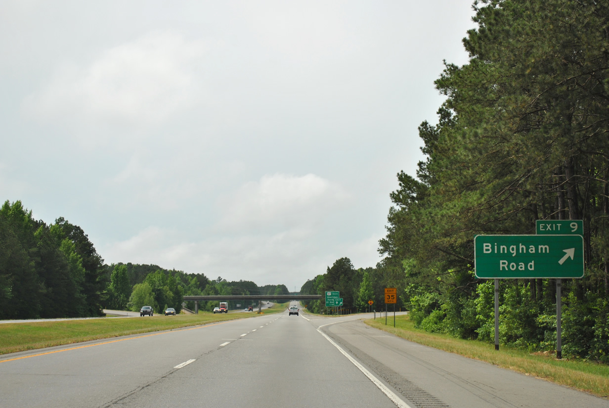
| Exit 9 provides residents along Bingham Road the primary connection to Little Rock and Pine Bluff. Otherwise, a series of local roads makes the connections to Arkansas 367 and 365. 05/07/12 |
|
| Bingham Road passes overhead one mile out from the split with U.S. 167 south (Exit 10). 05/07/12 |
|
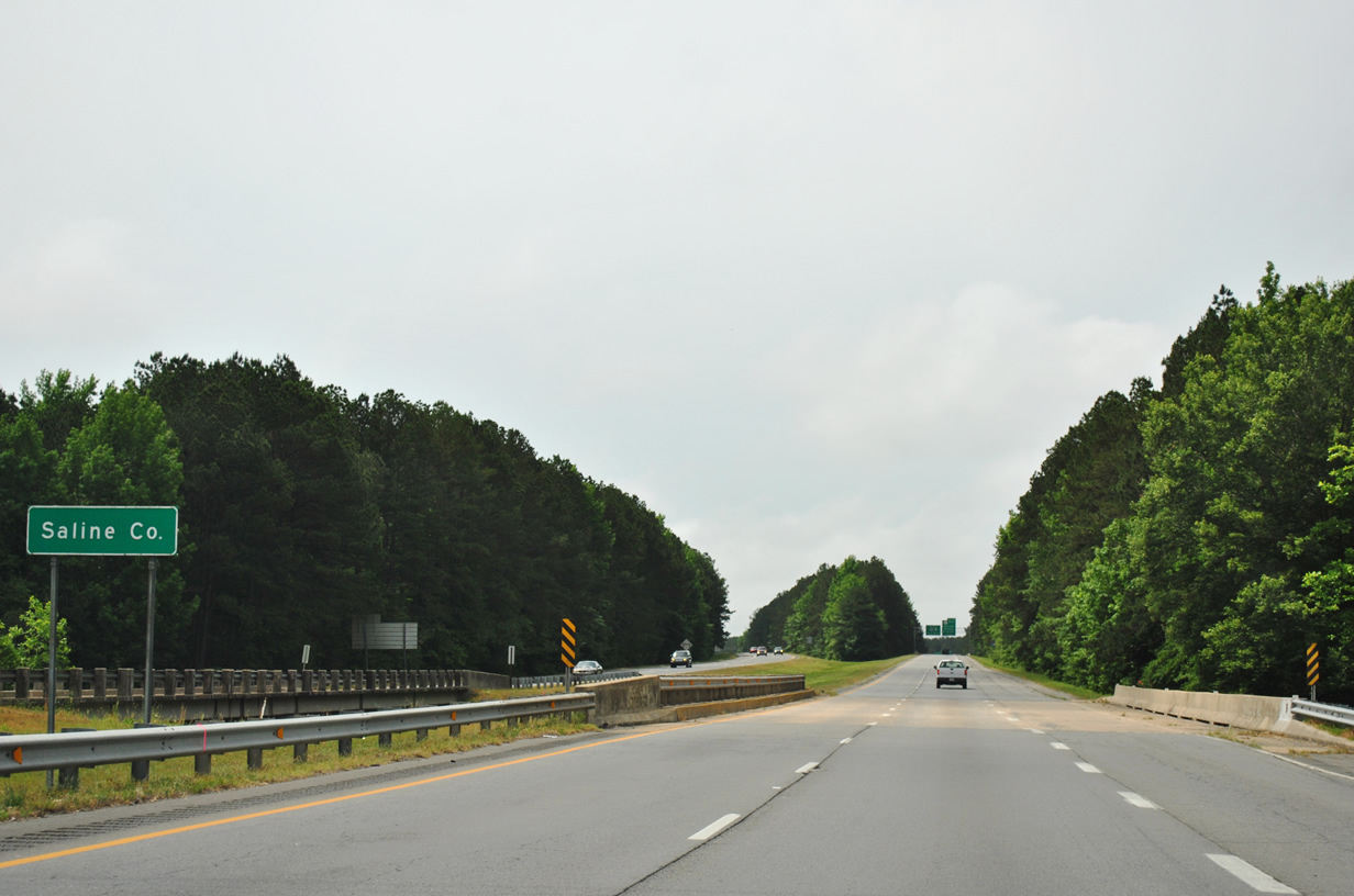
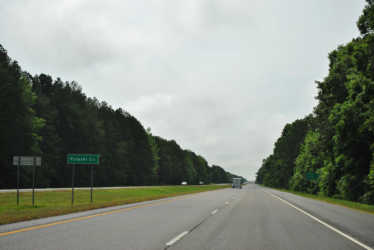
| Interstate 530 and U.S. 65 & 167 crosses over Lorance Creek into Saline County on its approach to Exit 10. The county was founded in November 1835 with the city of Benton serving as its county seat. The Pine Bluff bound freeway traverses only 3.3 miles of Saline County before returning to Pulaski County. 05/07/12 |
|
| Motorists pass by this reassurance shield between Bignham Road (Exit 9) and U.S. 167 south. 05/07/12 |
|
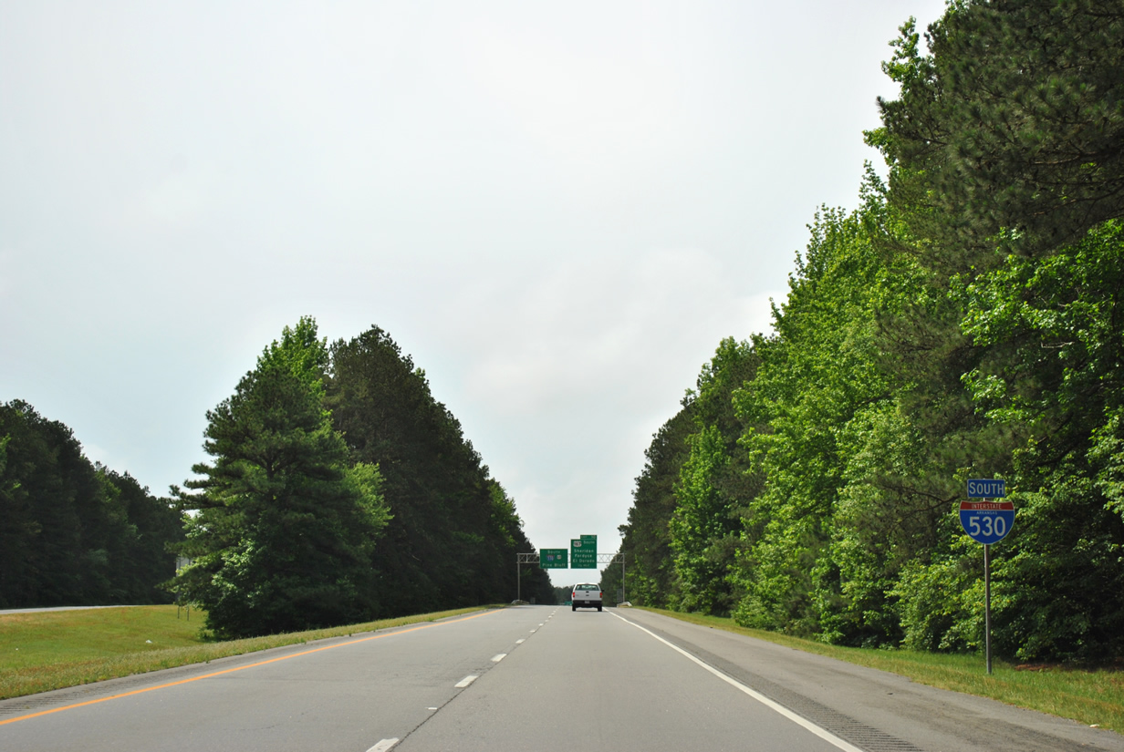
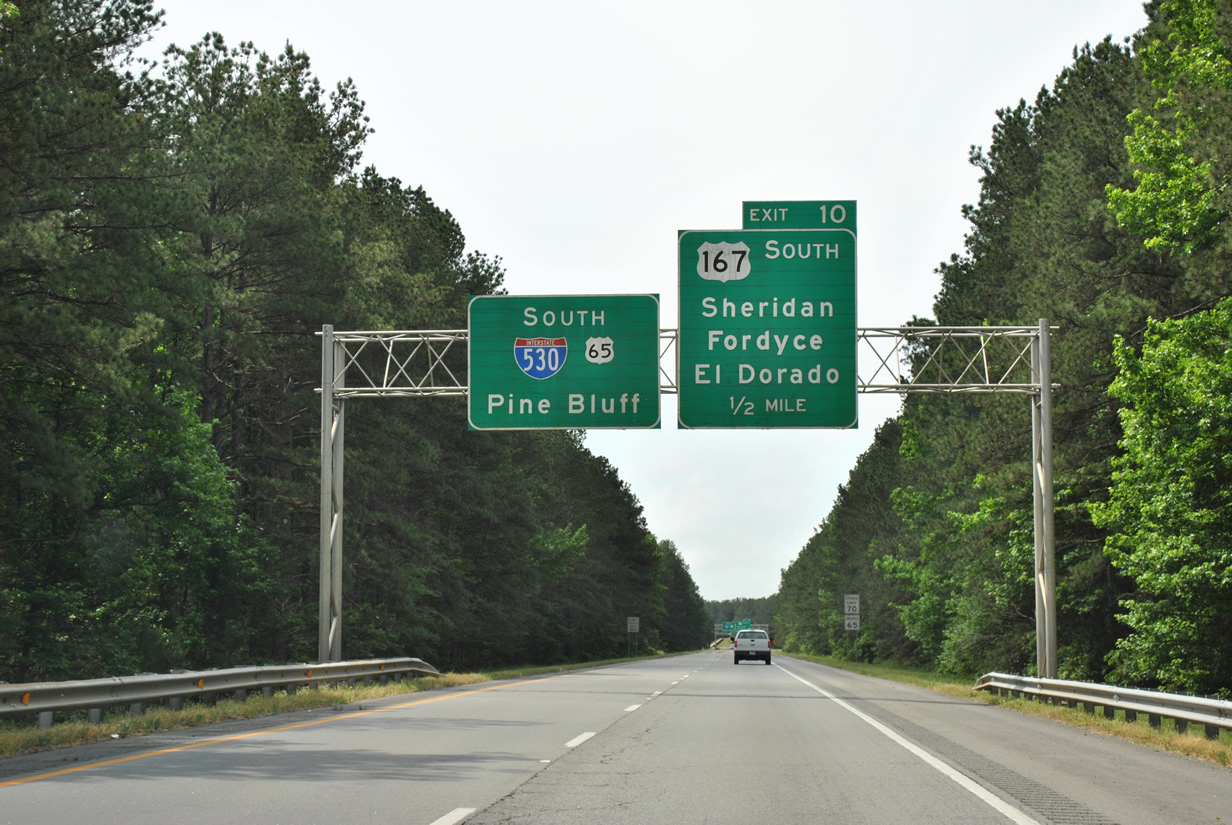
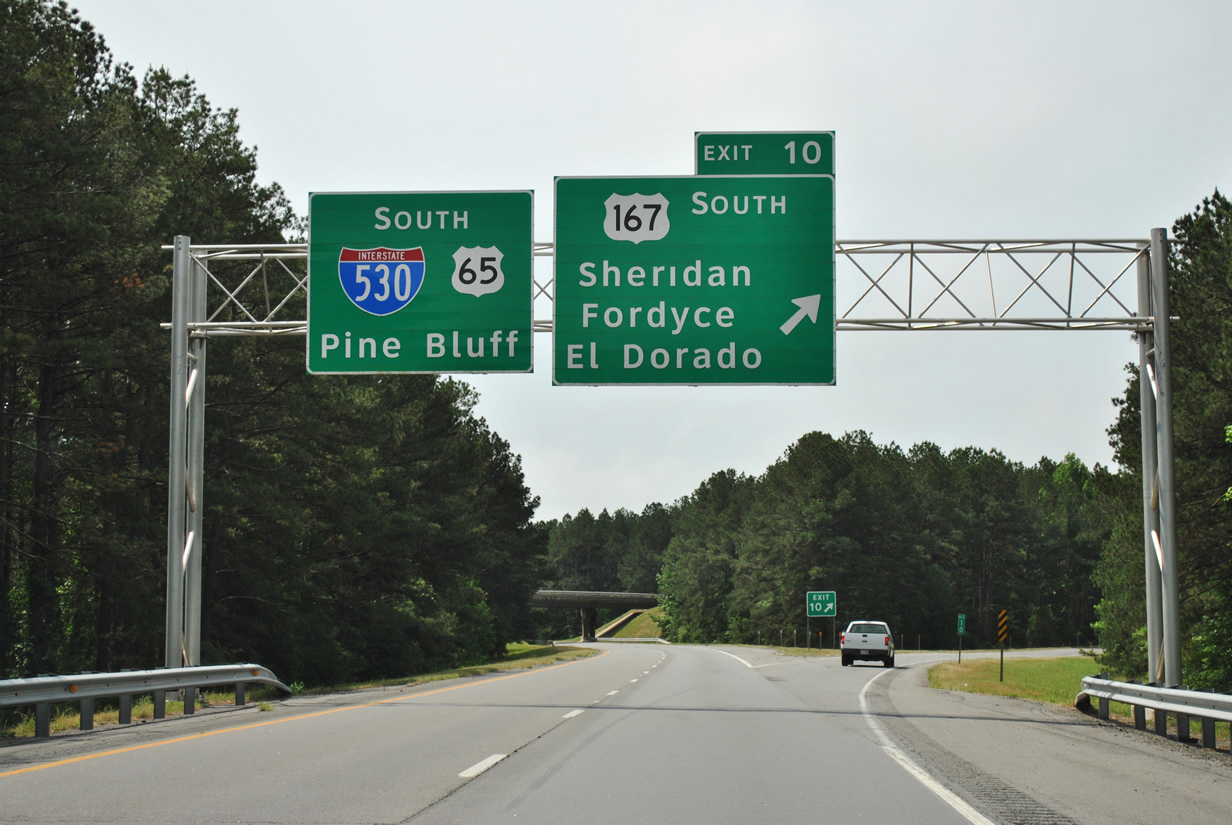
| One half mile remains before U.S. 167 and Interstate 530 & U.S. 65 part ways for their respective destinations. Exit 10 is the only interchange southbound between Little Rock and Pine Bluff where U.S. 65 is acknowledged alongside I-530 south. 05/07/12 |
|
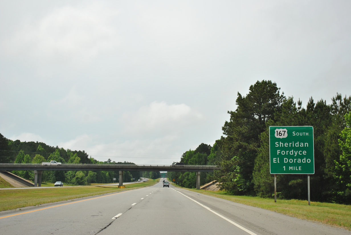
| Drivers leave Exit 10 along U.S. 167 south to Sheridan, Fordyce and El Dorado. All three cities are the seats to their respective counties: Sheridan (Grant County), Fordyce (Dallas County), and El Dorado (Union County). U.S. 167 exits Arkansas into Louisiana at Junction City and sees an eventual end in Abbeville (Vermilion Parish). 05/07/12 |
|
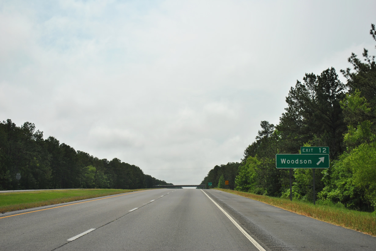
| Heading on a southeast trajectory toward Pine Bluff from Exit 10, Interstate 530 and U.S. 65 encounter Exit 12 to Woodson in one mile. 05/07/12 |
|
| Woodson Lateral Road (Exit 12) connects the freeway with the community of Woodson to the east of the interchange in Pulaski County. West of Interstate 530, Woodson Lateral Road connects with U.S. 167 and East End. 05/07/12 |
|
| The freeway reenters Pulaski County one final time south of Exit 12 for an additional 3.8 miles. 05/07/12 |
|
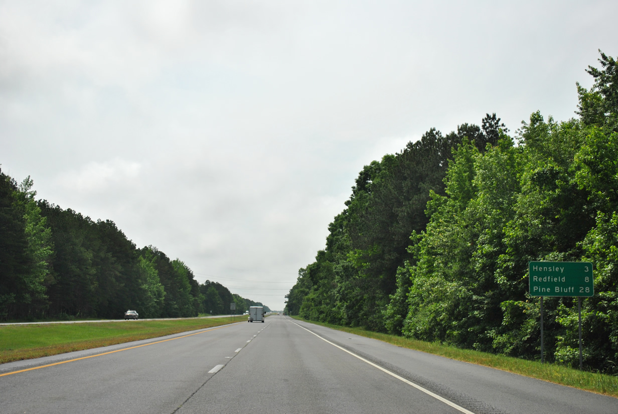
| Hensley is located in south Pulaski County with a connection to Interstate 530 three miles ahead. Redfield is reached in 8 miles (Exit 20) with Pine Bluff still 28 miles out. 05/07/12 |
|
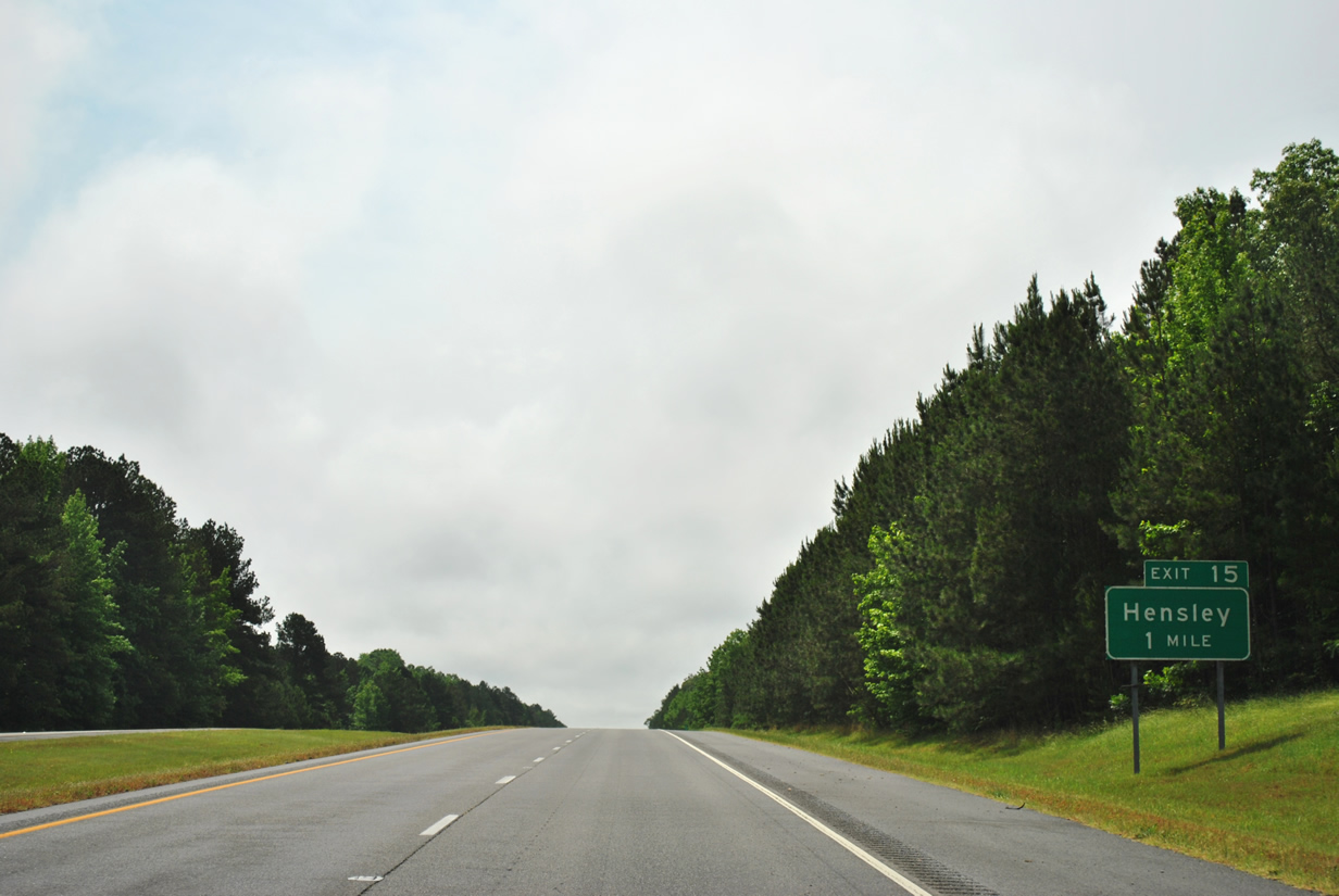
| Interstate 530 south will reach a diamond interchange with Hensley Road (Exit 15) in one mile. 05/07/12 |
|
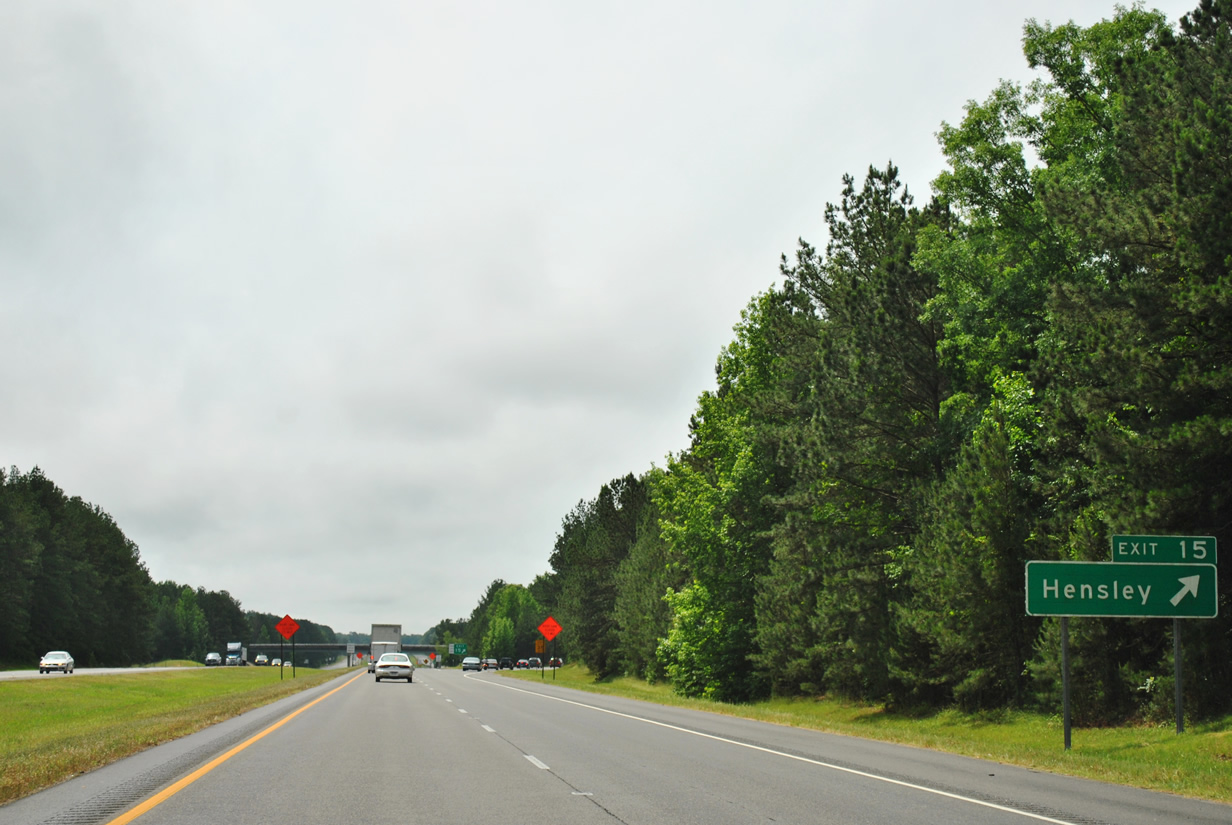
| Traffic departs for Exit 15 to Hensley Road. The local road links I-530 & U.S. 65 with Arkansas 365 and the community of Hensley. 05/07/12 |
|
| A frontage road follows Interstate 530 south from Hensley Road (Exit 15) to Hopper Road in Jefferson County. The freeway will enter Jefferson County in 0.8 miles. 05/07/12 |
|
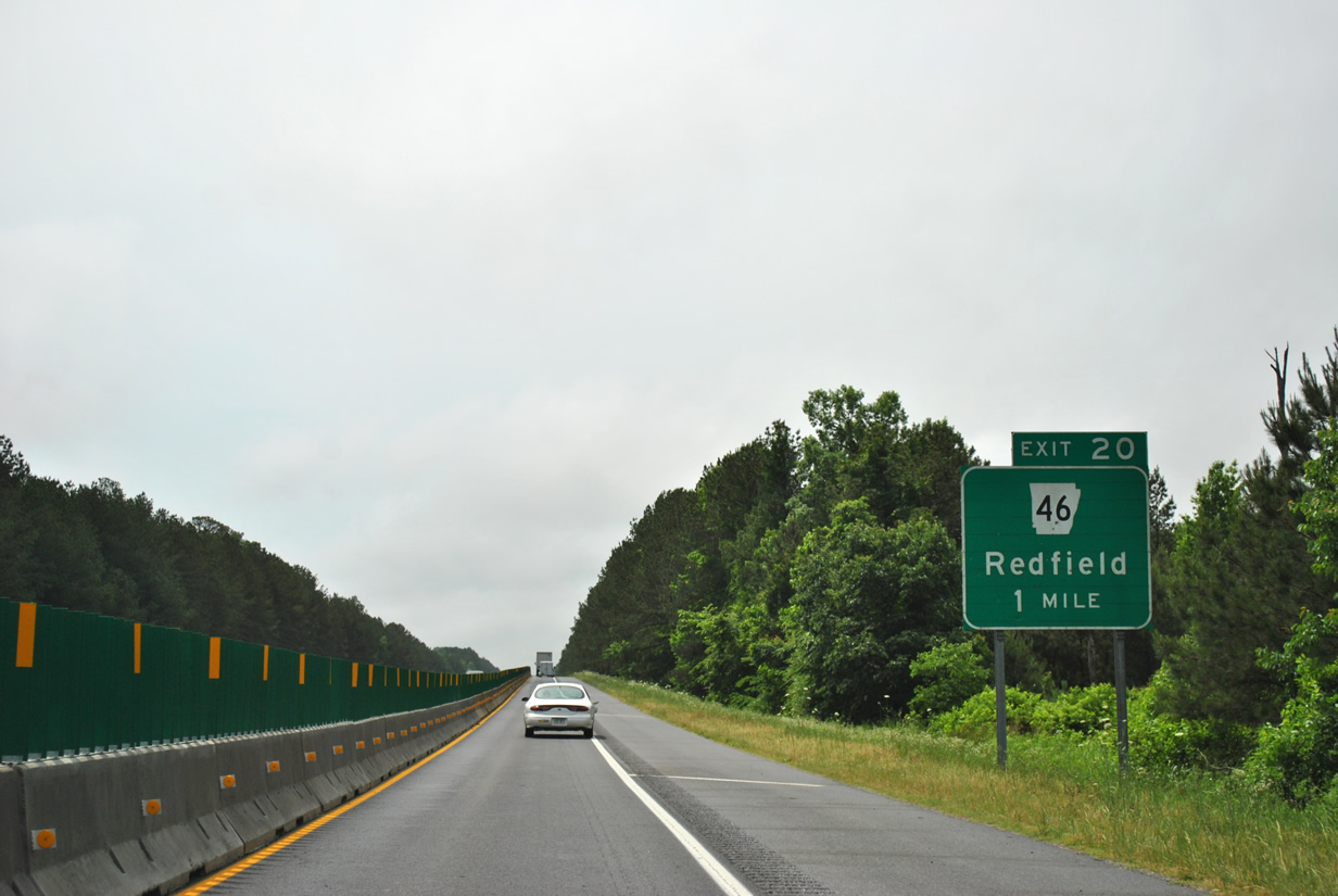
| Redfield lies east of Interstate 530 & U.S. 65 at the terminus of Arkansas 46 in five miles. White Hall is a city situated eight miles northwest of Pine Bluff, which is now a 25 mile drive ahead. 05/07/12 |
|
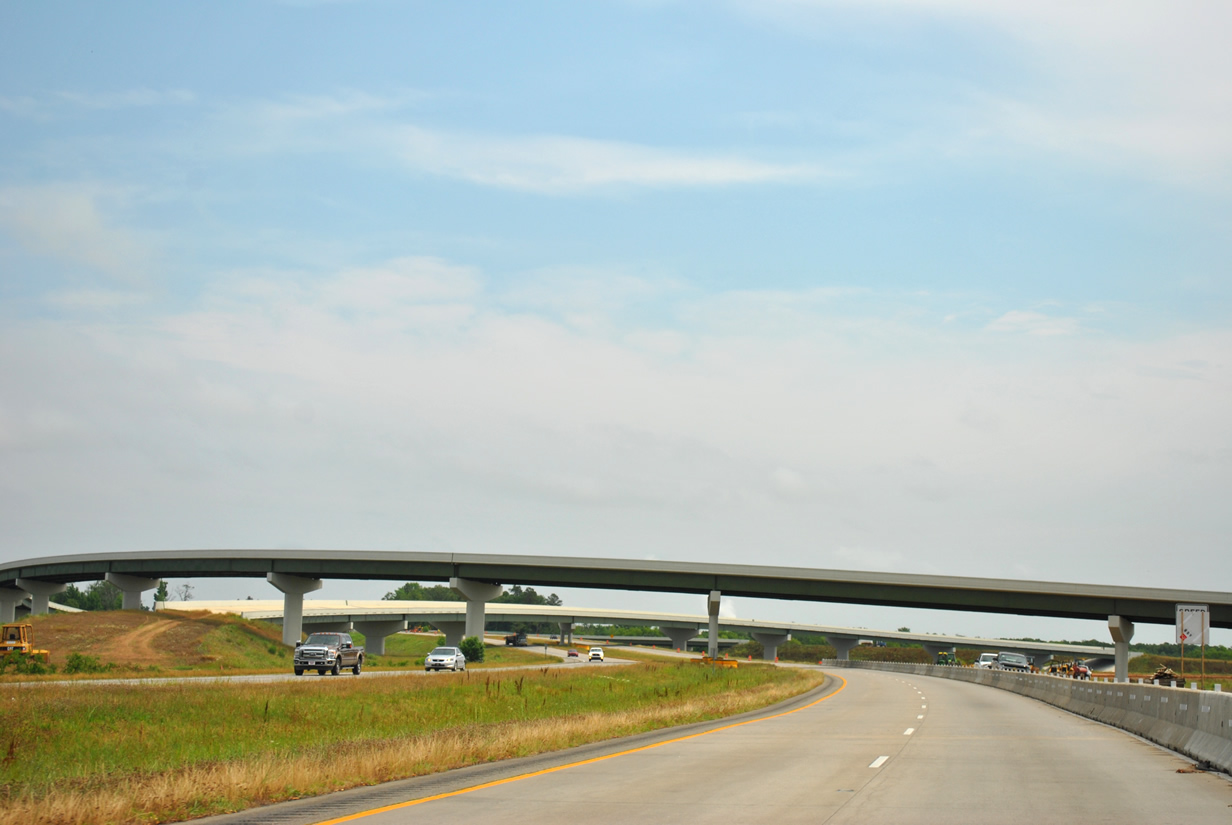
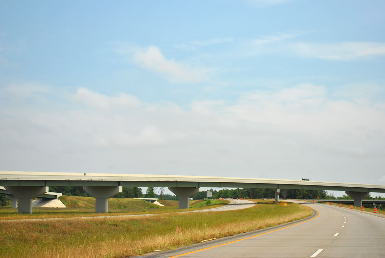
| Construction was evident along the stretch between Exit 15 and Exit 24 to replace existing concrete and asphalt pavements. Completion of the rehabilitation project occurred in late 2013. Otherwise Interstate 530 will meet Arkansas 46 (Exit 20) to Redfield in one mile. 05/07/12 |
|
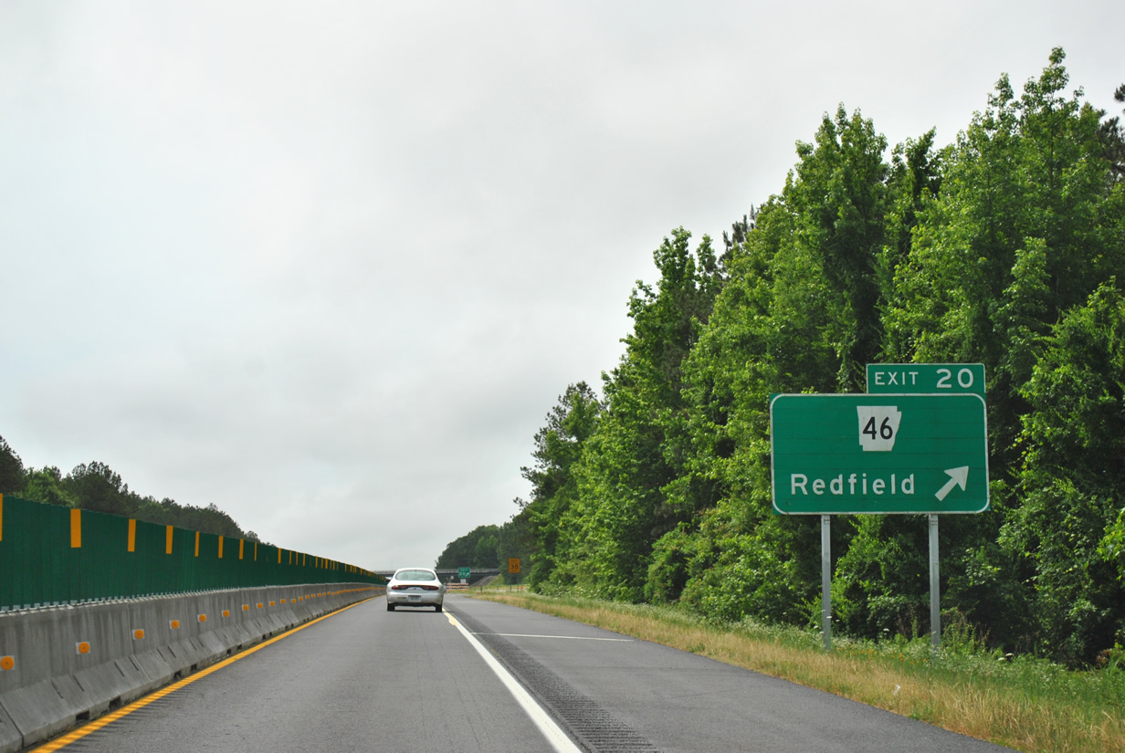
| Arkansas 46 begins at Arkansas 365 in the small city of Redfield and shoots southwest to Sheridan and Leola. The state highway meets Interstate 530 0.7 miles southwest of State Highway 365. 05/07/12 |
|
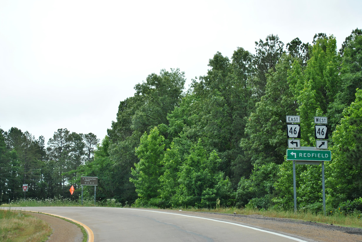
| Use Arkansas 46 east to Redfield and Tar Camp Park. Otherwise, Arkansas 46 west continues from Exit 20 to Sheridan, crossroads of U.S. 167 and U.S. 270 in adjacent Grant County. 05/07/12 |
|
| Continuing southeast from Arkansas 46 (Exit 20), Interstate 530 & U.S. 65 will next meet Stagecoach Road (Exit 24). 05/07/12 |
|
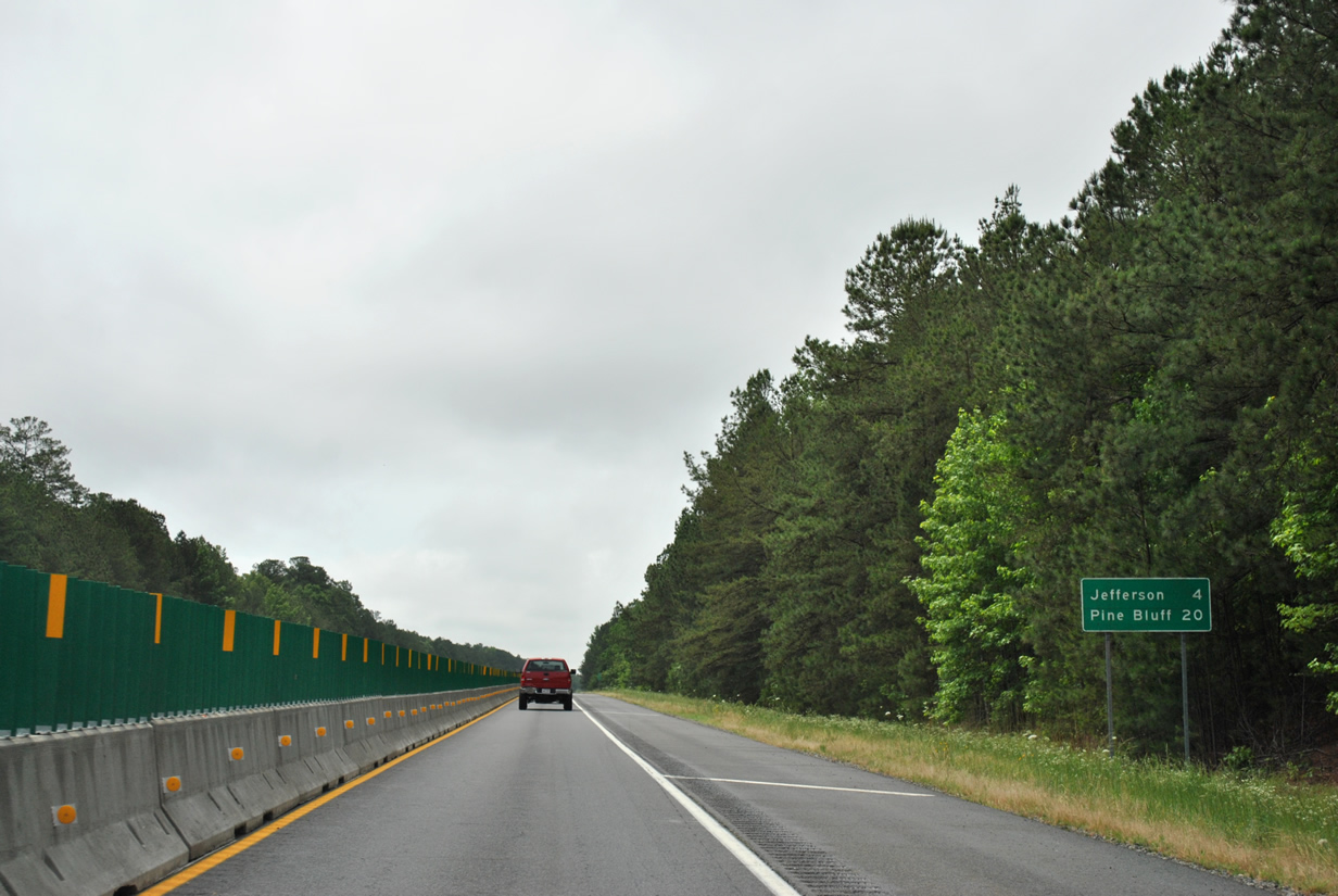
| 20 miles remain to reach Pine Bluff while the unincorporated community of Jefferson lies four miles ahead. 05/07/12 |
|
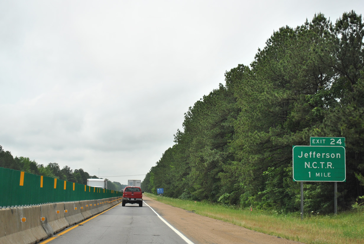
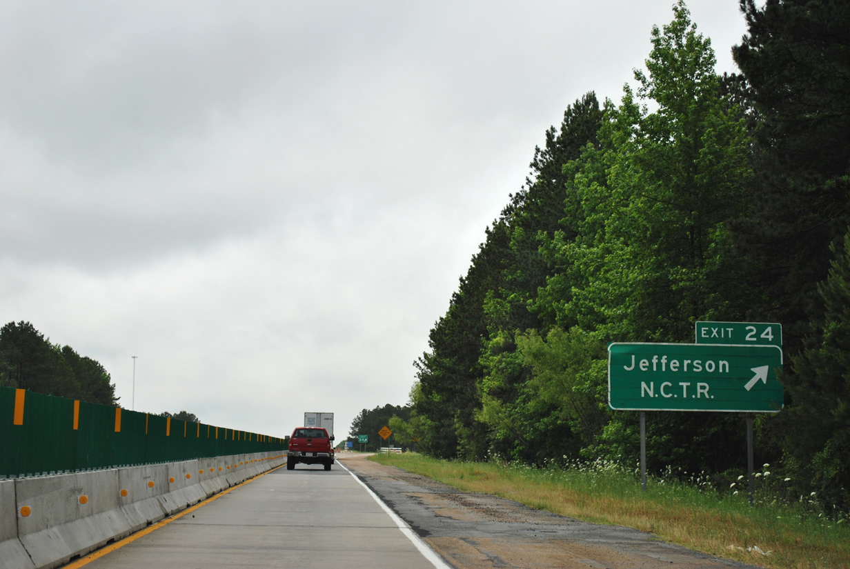
| Stagecoach Road (Exit 24) links the freeway with Jefferson and the National Center for Toxicological Research (NCTR) facility in one mile. 05/07/12 |
|
| The NCTR was once a part of the Army's Pine Bluff Arsenal but was transferred to the control of the Food and Drug Administration (FDA) in the late 1960s.2 The center plays a pivotal role to aid the FDA in promoting and protecting public health.3 05/07/12 |
|
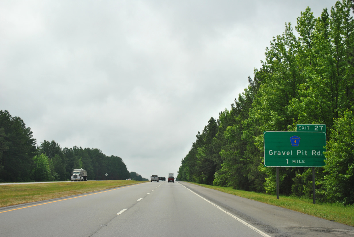
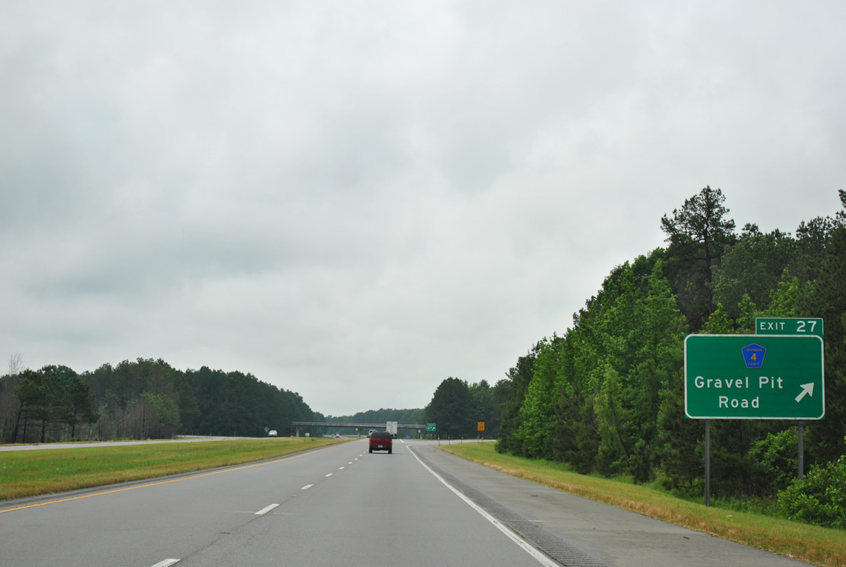
| Interstate 530 south on the one mile approach to Exit 27 and Jefferson County 4 (Gravel Pit Road) to Arkansas 365 at Samples. 05/07/12 |
|
| A diamond interchange facilitates movements between the freeway and CR 4 (Gravel Pit Road). The rural route extends east to Arkansas 365 just north of its intersection with Arkansas 104 and west to the county landfill. 05/07/12 |
|
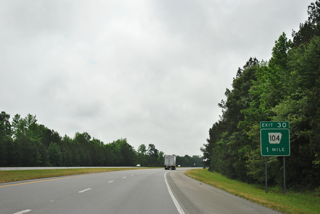
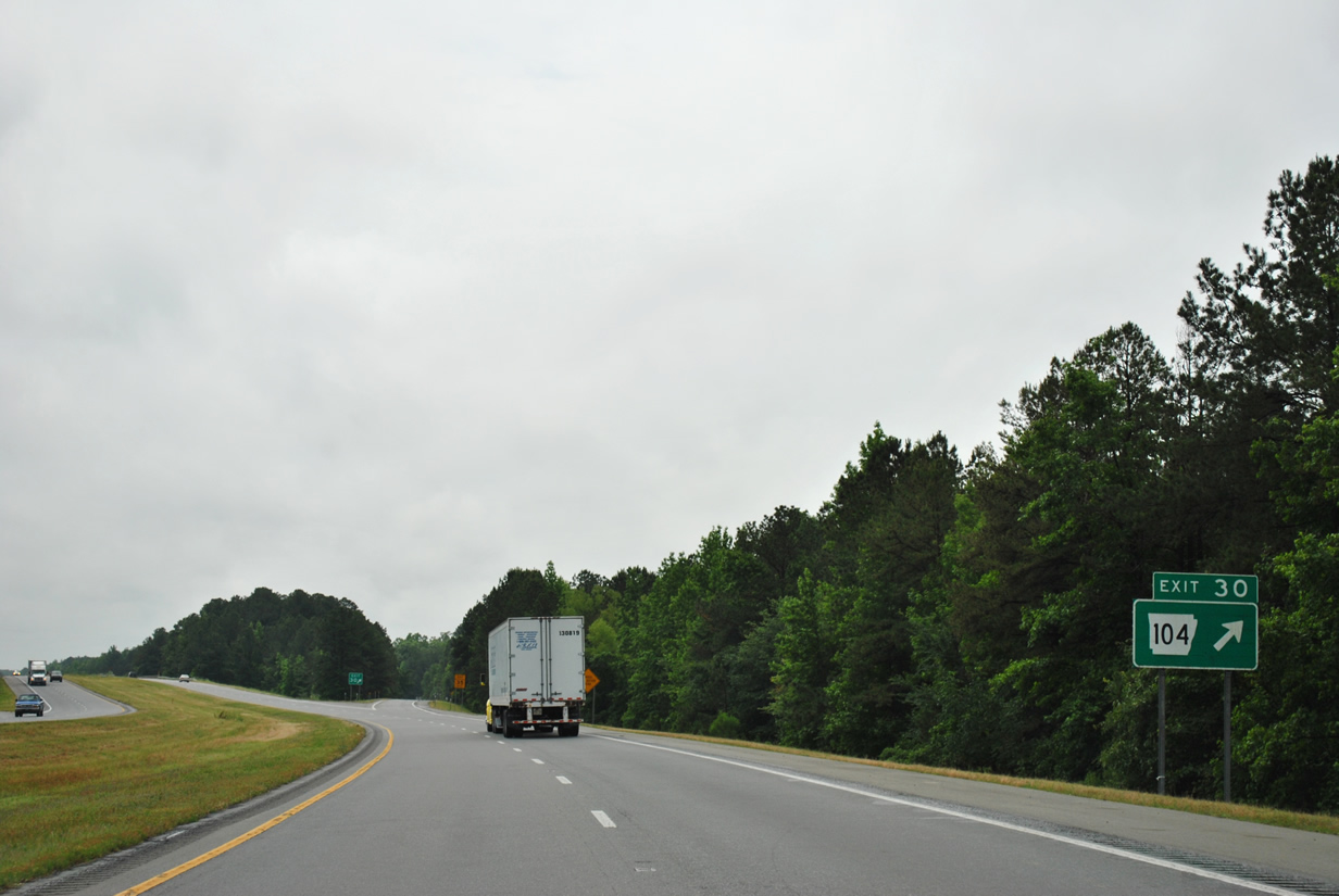
| Arkansas 104 (Exit 30) will share an interchange with Interstate 530 & U.S. 65 in one mile. 05/07/12 |
|
| The freeway spans over Arkansas 104 at Exit 30. The state highway totals only 4.66 miles connecting Arkansas 365 with U.S. 270 between the Hardin and Oakland Heights communities. 05/07/12 |
|
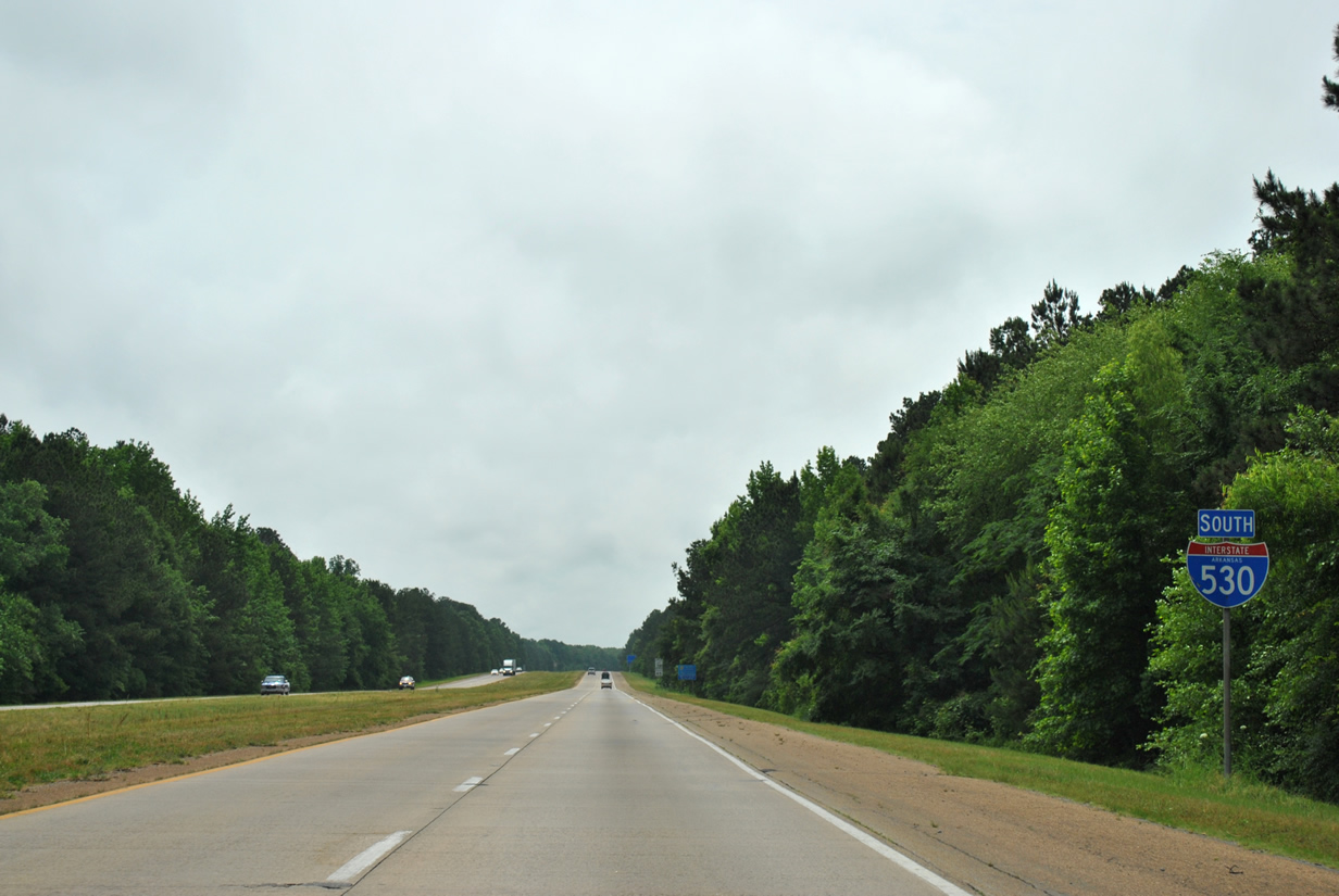
| A lone reassurance marker for Interstate 530 south of the Arkansas 104 interchange. Downtown Pine Bluff is only a 10.4 mile drive from this point. 05/07/12 |
|
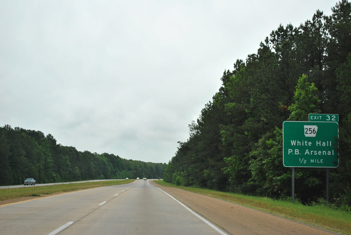
| Arkansas 256 (Exit 32) in one half mile provides a direct connection between the freeway and the Pine Bluff Arsenal as well as being the first of two interchanges to serve White Hall. 05/07/12 |
|
| Interstate 530 reaches the interchange with Arkansas 256 (Exit 32). The state highway heads east from Exit 32 to Arkansas 365 and the Plainview gate for Pine Bluff Arsenal. Holland Avenue continues west from I-530 to Monk Road. 05/07/12 |
|
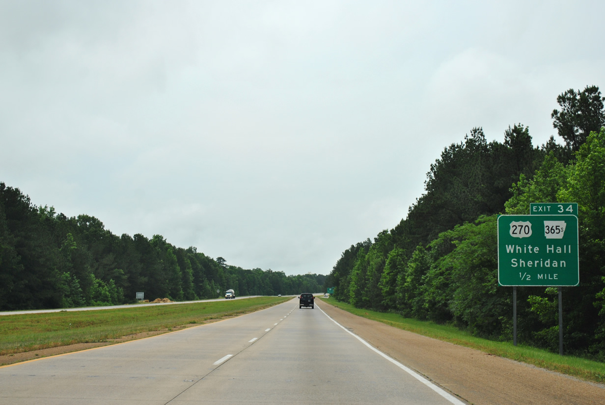
| On the final approach to Pine Bluff, Interstate 530 and U.S. 65 will encounter U.S. 270 and Arkansas 365 Spur in 1.1 miles at Exit 34. 05/07/12 |
|
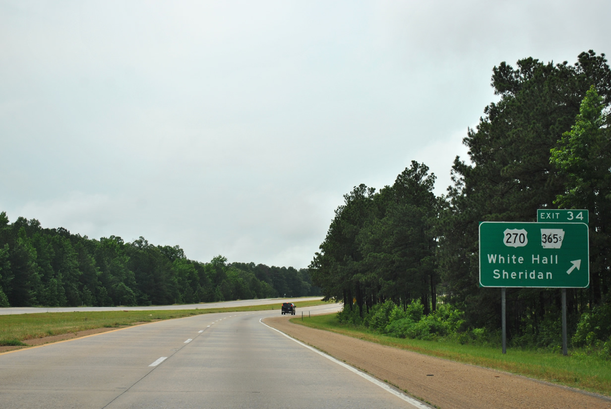
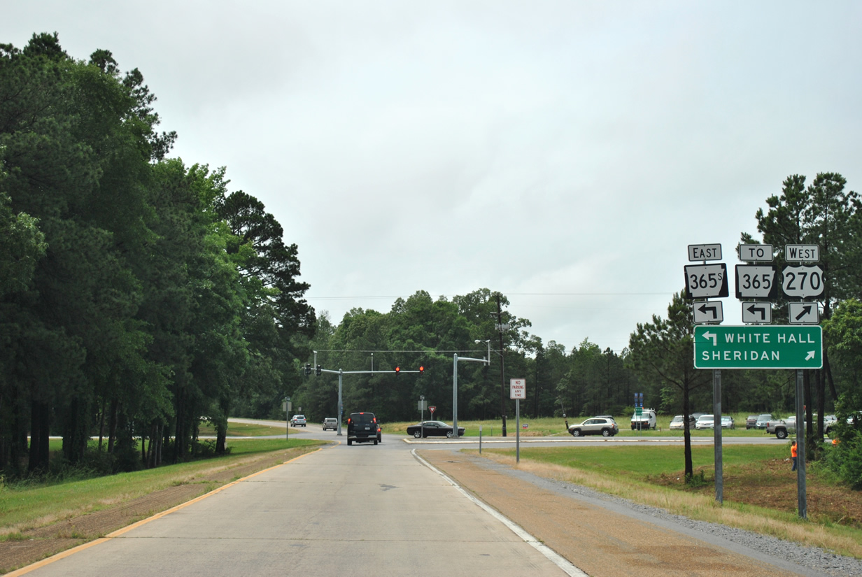
| One half mile guide sign for the diamond interchange to U.S. 270 and Arkansas 365S (Exit 34). U.S. 270 west travels toward Sheridan while Arkansas 365 Spur extends southeast to Arkansas 365 south of White Hall. 05/07/12 |
|
| The freeway curves southward as it reaches the departure point for Exit 34 to White Hall and Sheridan. 05/07/12 |
|
| Prior to its current eastern terminus at Interstate 530, U.S. 270 followed current Arkansas 365 Spur to Arkansas 365 (former U.S. 65) near Leitner. Otherwise, U.S. 270 arcs northwest from Exit 34 to Sheridan 17.9 miles away. Arkansas 365 Spur replaced U.S. 65 Business after it was relocated further south along the Martha Mitchell Expressway through Pine Bluff. Use Arkansas 365 Spur east to reach Arkansas 365 in 2.2 miles. 05/07/12 |
|
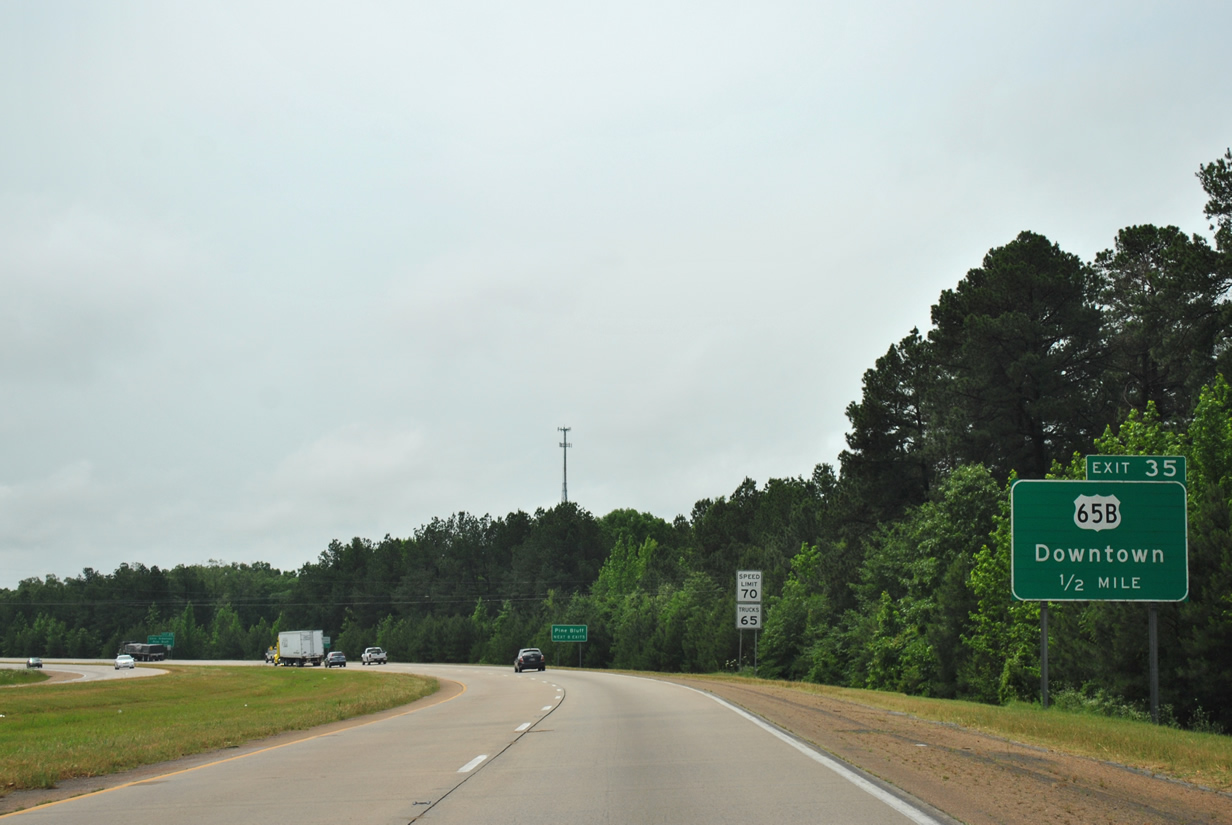
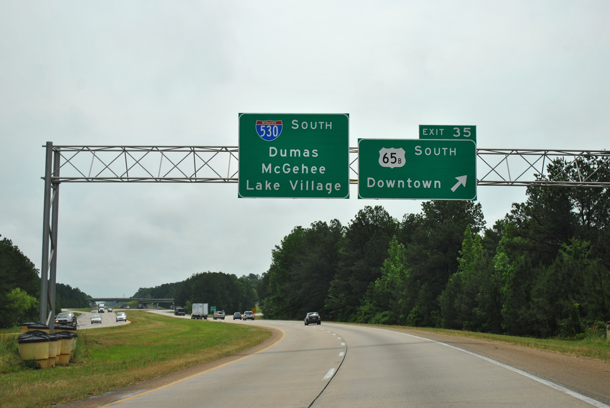
| The next eight interchanges along Interstate 530 & U.S. 65 serve the city of Pine Bluff with the first occurring in one half mile for U.S. 65 Business (Exit 35). 05/07/12 |
|
| U.S. 65 Business represents the former alignment of U.S. 65 through Pine Bluff prior to the completion of the freeway around the city. The bannered highway follows the at-grade Martha Mitchell Expressway bypassing Downtown Pine Bluff to the north. U.S. 65 Business returns to U.S. 65 and Interstate 530 at the freeways southern terminus. The control points of Dumas, McGehee and Lake Village are all serviced by U.S. 65 in southeast Arkansas. 05/07/12 |
|
| Before the freeway was extended further south in the 1990s, U.S. 65 defaulted onto the expressway portion through Pine Bluff. A full interchange was constructed allowing movement in all directions between Interstate 530 and U.S. 65 Business. The portion of freeway circumventing Pine Bluff is named the Wiley A. Branton, Sr. Highway, named after a civil rights leader who worked to end legal segregation and inequality in Arkansas.4 05/07/12 |
|
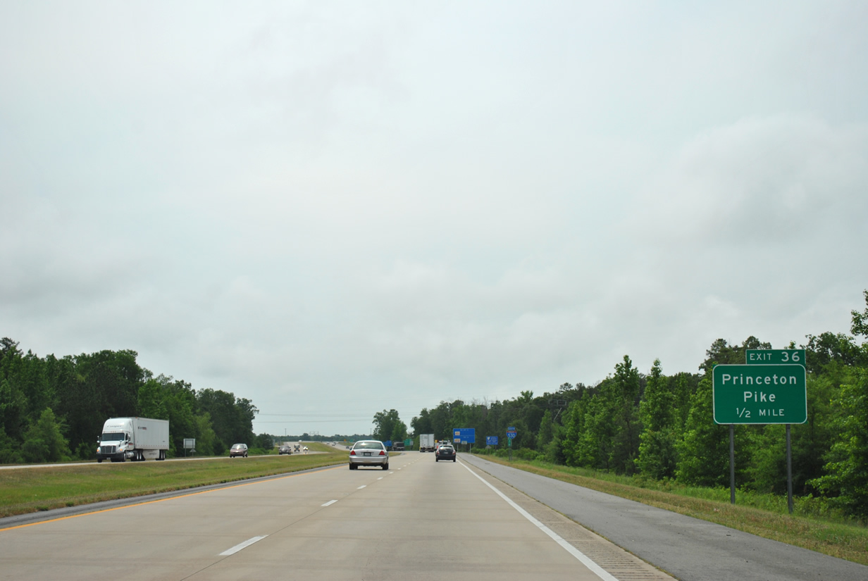
| Continuing south from U.S. 65 Business, Princeton Pike meets Interstate 530 south in one half mile (Exit 36). 05/07/12 |
|
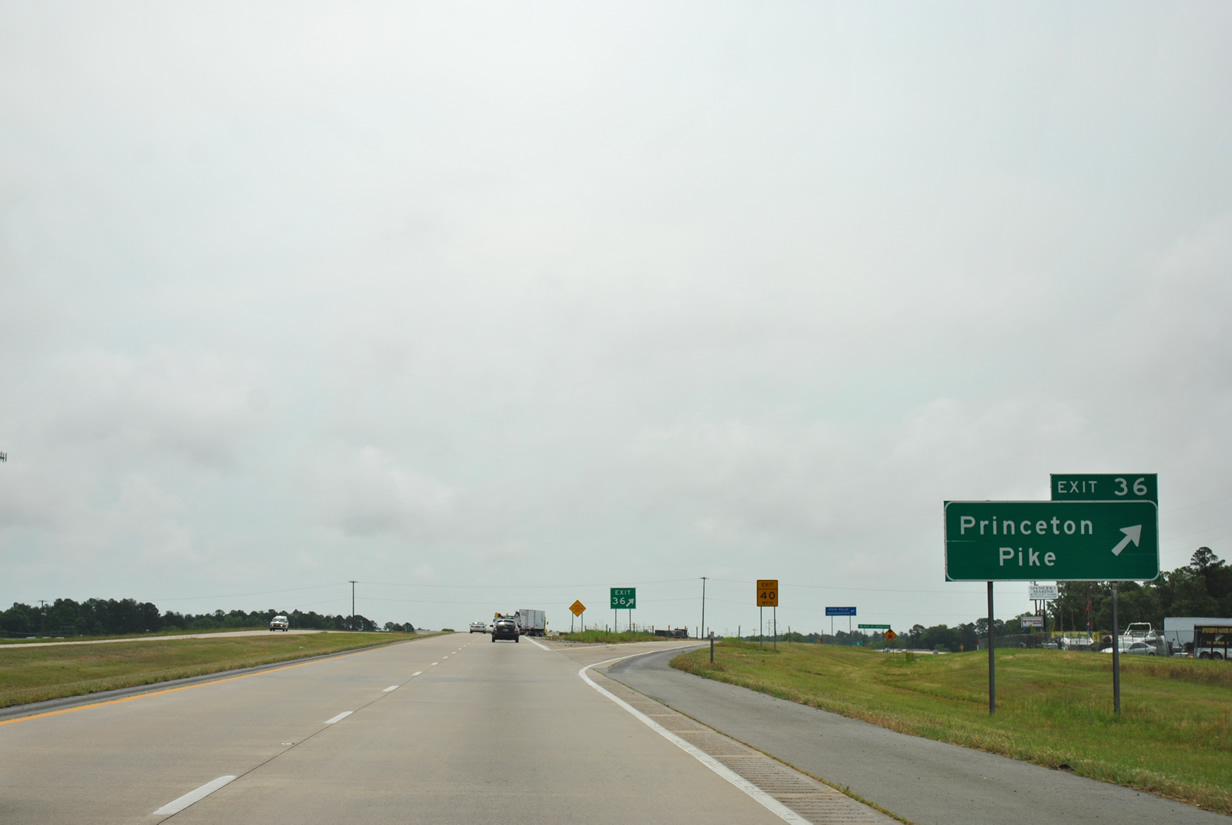
| A ramp leaves for Princeton Pike at Exit 36. Princeton Pike transitions to Barraque Street east of the interchange continuing into Pine Bluff where it ends a few blocks east of U.S. 79 Business (Blake Street). Princeton Pike west continues into rural Jefferson County picking up Arkansas 190 at the Grant County line. 05/07/12 |
|
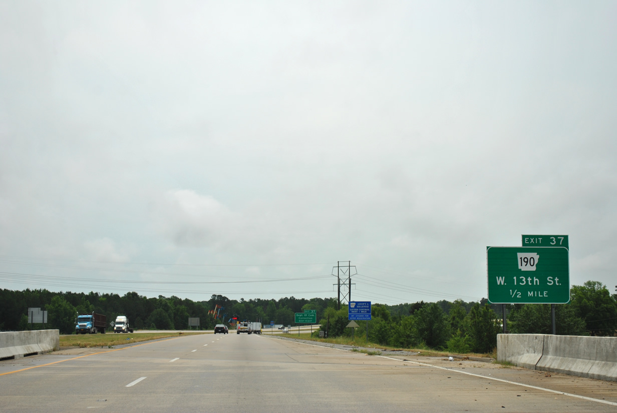
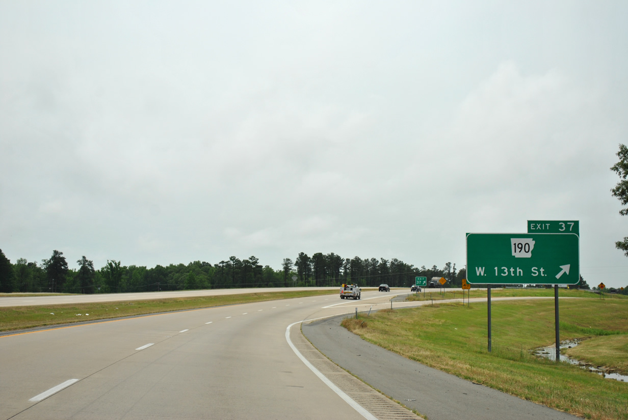
| Passing over West 7th Avenue the freeway comes to within one half mile of Arkansas 190 (West 13th Street). 05/07/12 |
|
| Interstate 530 & U.S. 65 briefly turn south as it reaches the departure ramp for Arkansas 190. 05/07/12 |
|
| Arkansas 190 exists in four separate segments through south central Arkansas. This iteration of the state highway follows West 13th Street, Franklin Street and West 6th Avenue into Pine Bluff and will see its terminus at the last interchange along Interstate 530 (Exit 46). 05/07/12 |
|
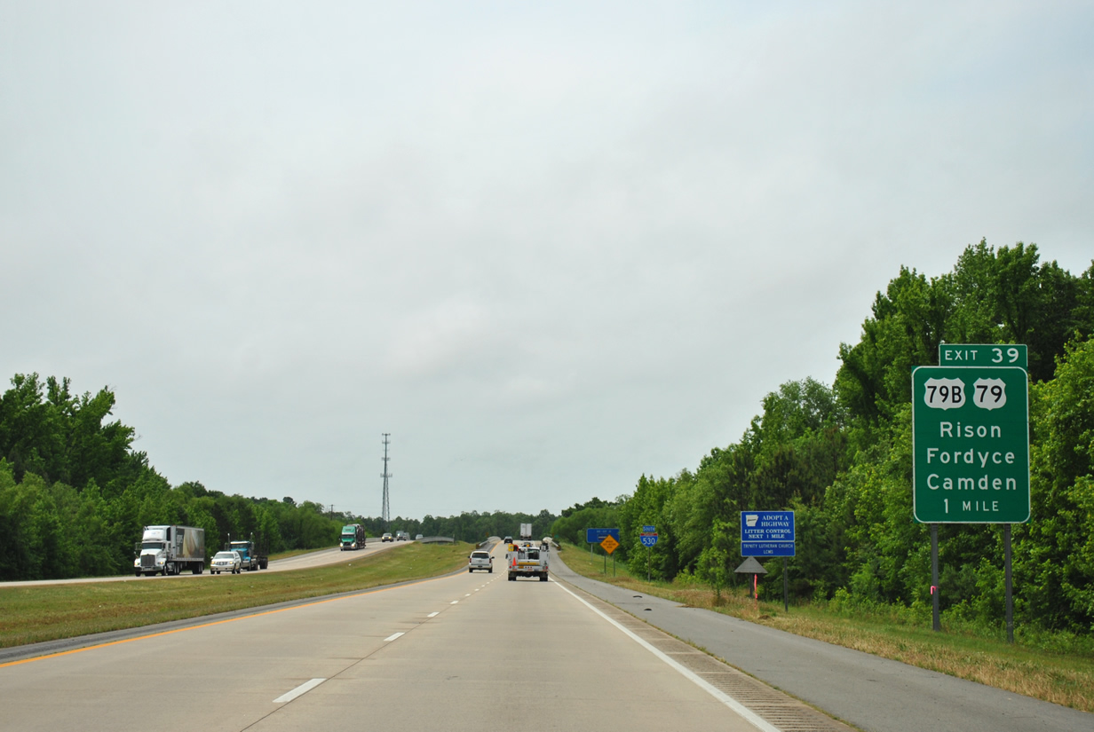
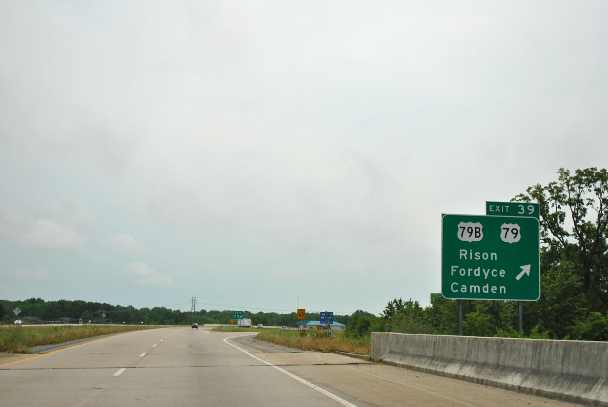
| One mile out from U.S. 79 to Rison and Fordyce and U.S. 79 Business (Exit 39) Interstate 530 prepares to cross over Bayou Bartholomeu and Shannon Road. 05/07/12 |
|
| Spanning Oakwood Road the Wiley A. Branton, Sr. Highway reaches Exit 39 to U.S. 79 south and U.S. 79 Business north near Watson Chapel. U.S. 79 spokes southwest from Pine Bluff to Rison (20.3 miles) and Fordyce (37.2 miles) in Cleveland and Dallas counties with Camden lying further south in Ouachita County. Going north U.S. 79 Business follows former U.S. 79 through Pine Bluff meeting back with U.S. 79 in Altheimer. U.S. 79 north joins the freeway for the remaining 6.6 miles around Pine Bluff. 05/07/12 |
|
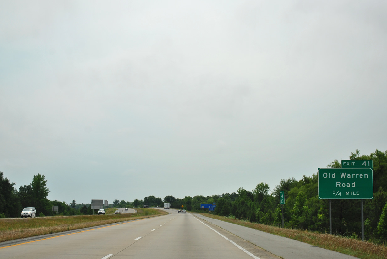
| Old Warren Road (Exit 41) will meet Interstate 530 in three quarters of a mile. 05/07/12 |
|
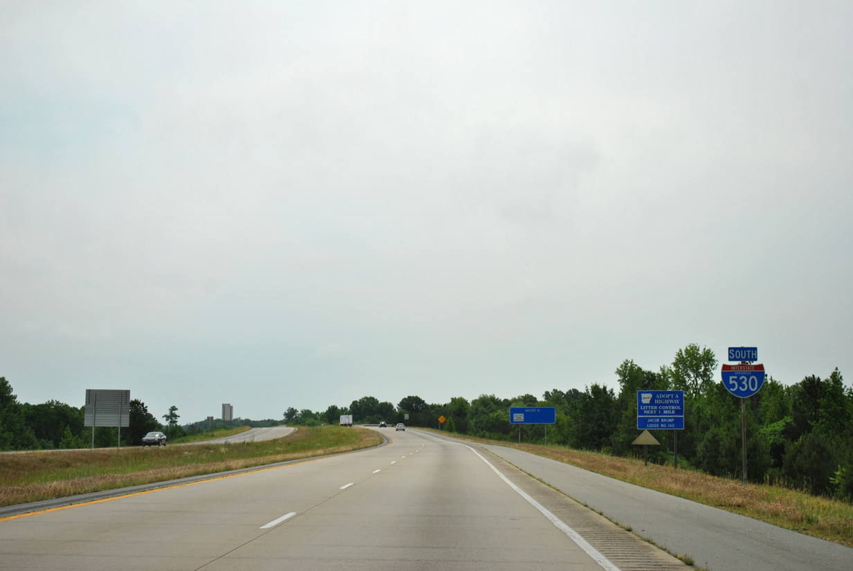
| Both U.S. 65 south & U.S. 79 north remain unsigned along Interstate 530 as it arcs southeast of Pine Bluff. 05/07/12 |
|
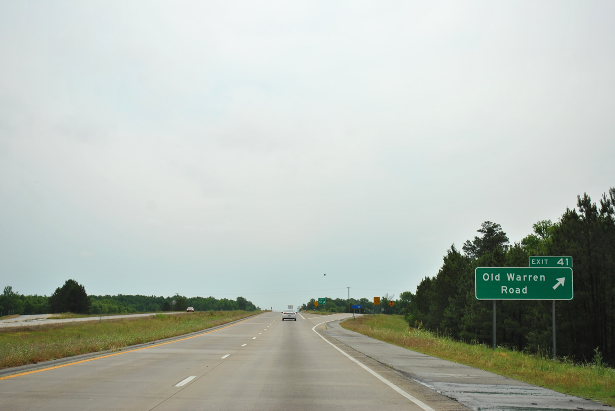
| Old Warren Road emanates from Hazel Street and West 31st Avenue in Pine Bluff toward Interstate 530 (Exit 41). South of the diamond interchange Old Warren Road continues southwest connecting with Arkansas 54 in lower Jefferson County. 05/07/12 |
|
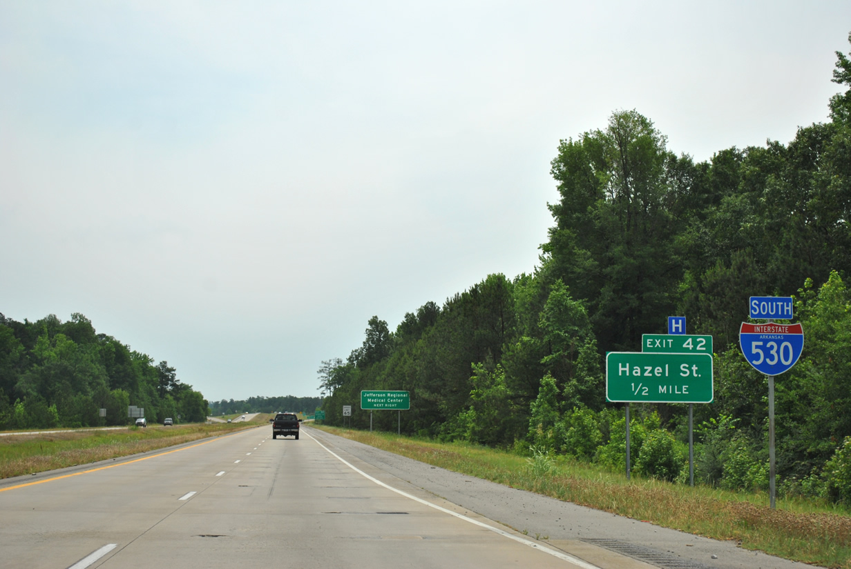
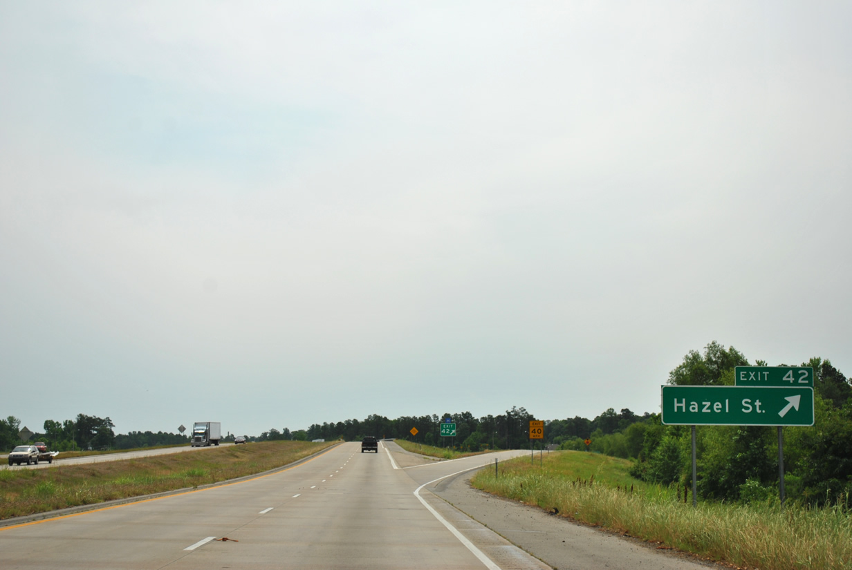
| Interstate 530 south next approaches Hazel Street (Exit 42) in 0.5 miles. 05/07/12 |
|
| Hazel Street heads north from Interstate 530 into Pine Bluff with an end at West 10th Avenue. Use Hazel Street north for the Jefferson Regional Medical Center and Southeast Arkansas College. 05/07/12 |
|
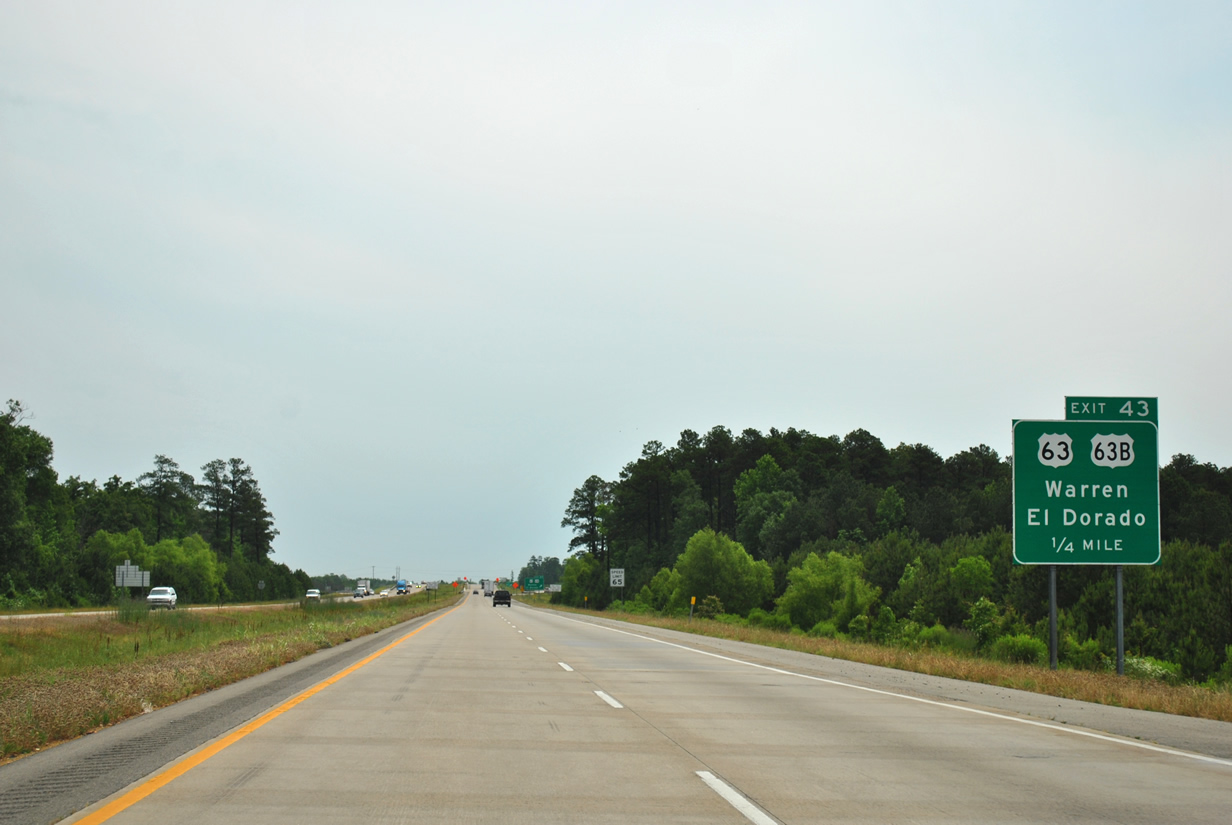
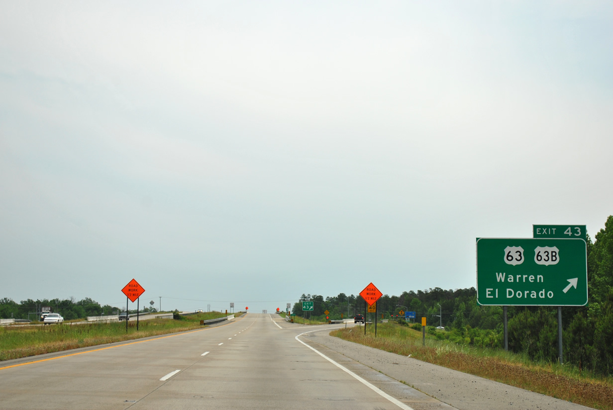
| Interstate 530 and U.S. 65 & U.S. 79 turn eastward and quickly reach U.S. 63 and its business counterpart in one quarter mile at Exit 43. 05/07/12 |
|
| U.S. 63 connects the freeway with Warren (47 miles) and El Dorado (95 miles) to the south and west while its counterpart U.S. 63 Business follows Olive and Main Streets into Downtown before joining U.S. 65 Business (Martha Mitchell Expressway) south. U.S. 63 north joins the trio numbered freeway at Exit 43 toward the east side of Pine Bluff. 05/07/12 |
|
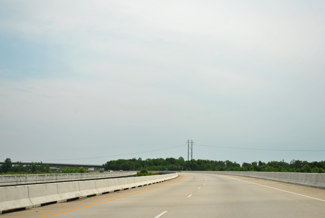
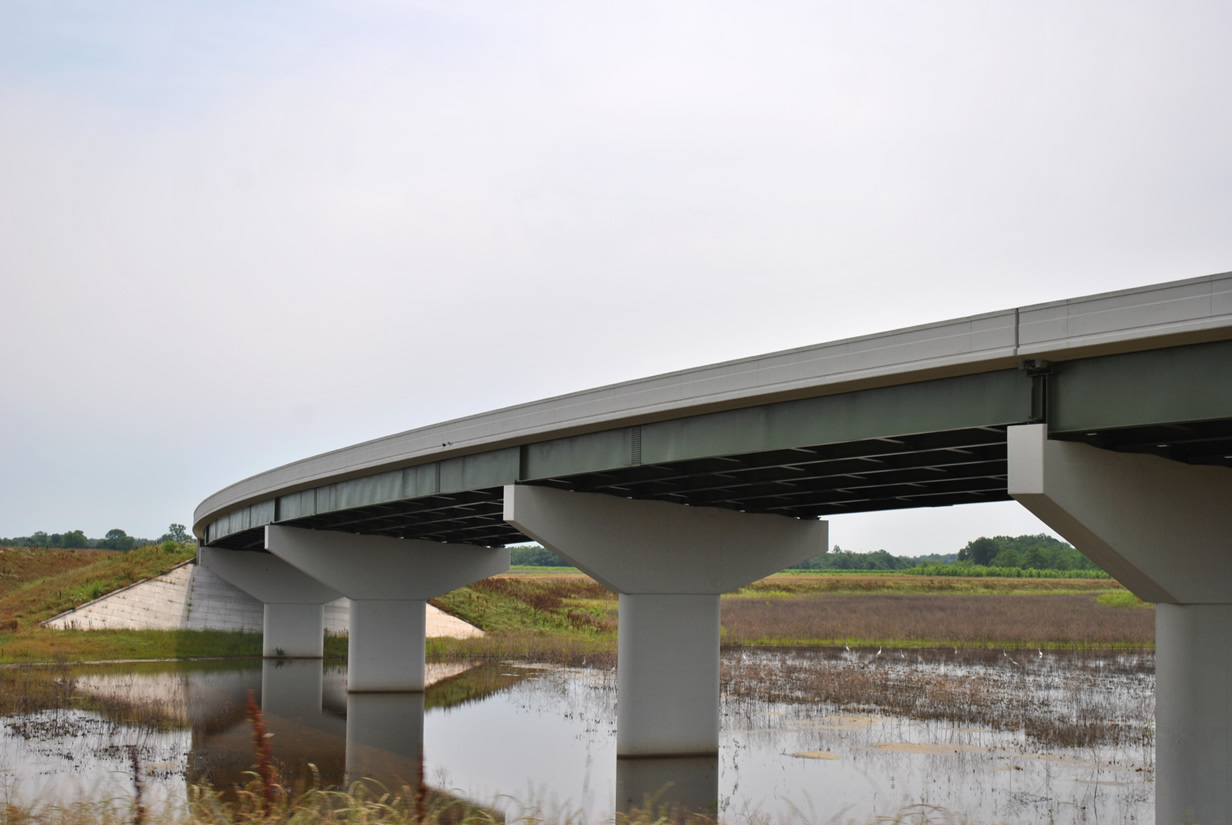
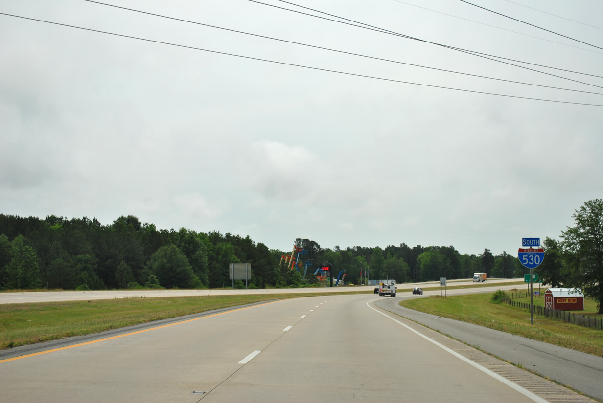
| Interstate 530 and company curve northeastward as the freeway crosses over Imbeau Bayou on the half mile approach to Arkansas 530 south (Exit 44). 05/07/12 |
|
| Arkansas 530 represents a future extension of Interstate 530 from Pine Bluff to the proposed Interstate 69 corridor in south Arkansas. A five mile segment opened to traffic in 2010 linking Arkansas 35 with U.S. 278 west of Monticello and will eventually connect with this segment of future I-530. 05/07/12 |
|
| In these scenes construction was taking place at the high-speed directional interchange between Interstate 530 and Arkansas 530 over Imbeau Bayou. An 18 mile section opened to traffic September 12, 2013 between the freeway and Arkansas 114 west of Star City.5 This stretch currently consists of only two lanes with at-grade intersections with future right-of-way acquired to upgrade the highway to Interstate standards when funds become available. Another section of Arkansas 530 is slated to open in late 2014 extending the state highway further south to a new connector road linking Arkansas 11 with U.S. 425 between Star City and Monticello. 05/07/12 |
|
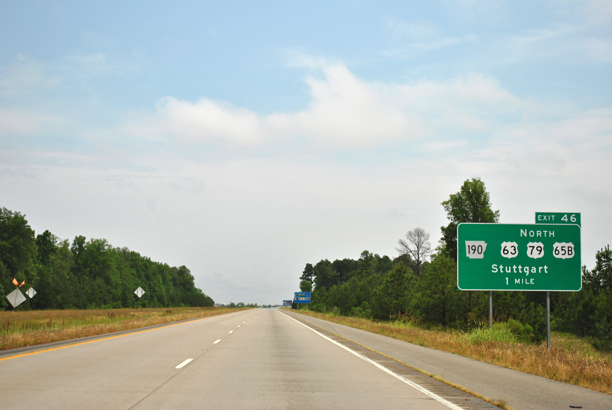
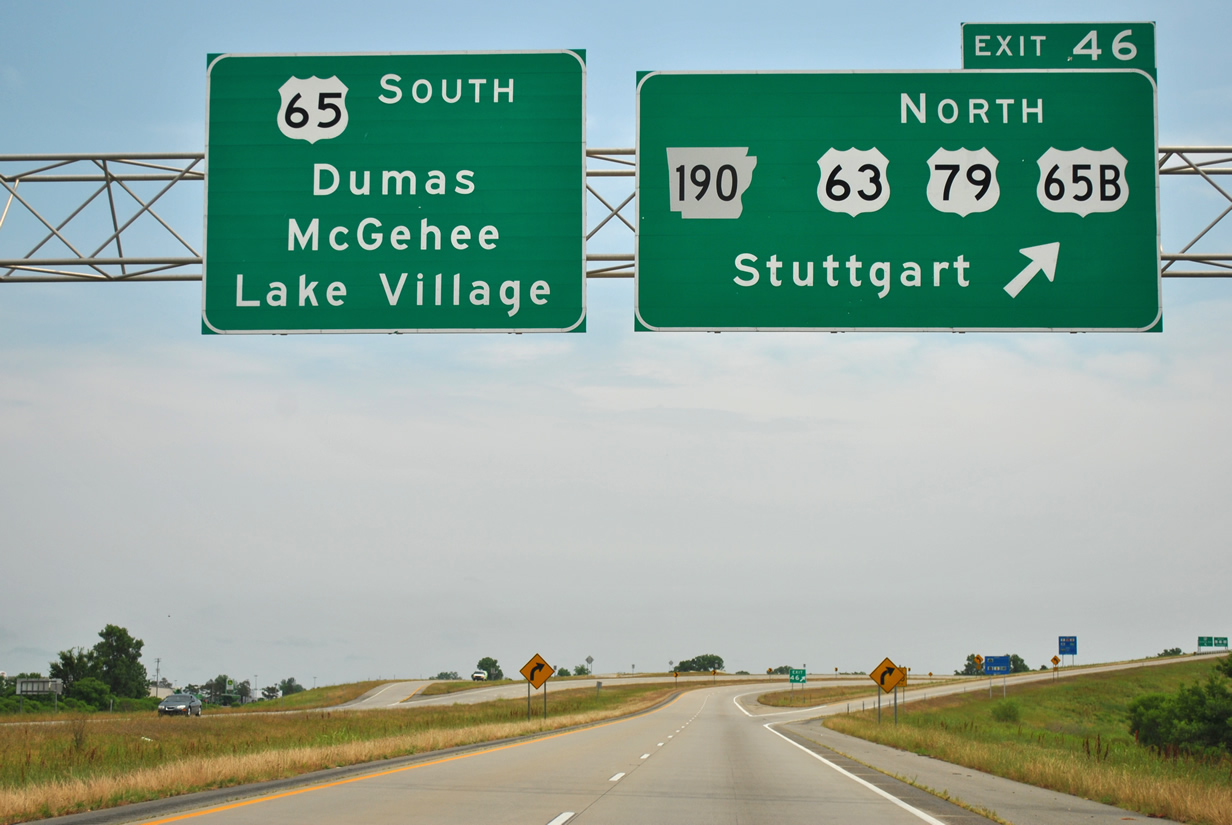
| One mile remains for Interstate 530 as the freeway prepares to enter its final interchange at Arkansas 190 west (Exit 46). U.S. 63 & 79 continue north as an arterial on the east side of Pines Mall along with U.S. 65 Business. Stuttgart lies at the north split of the two U.S. highways in neighboring Arkansas County. 05/07/12 |
|
| The forthcoming interchange also serves as the northern terminus of U.S. 425 to Monticello. The U.S. highway will share three miles of pavement with U.S. 65 before turning south for Star City and Monticello. 05/07/12 |
|
| A single ramp will leave for Arkansas 190, U.S. 63-79 and U.S. 65 Business as U.S. 65 turns southeast toward Dumas (38.2 miles) and McGehee (57.2 miles). Lake Village is a 79.2 mile drive and lies near the west banks of the Mississippi River across from Greenville, Mississippi. Interstate 530 ends its 46.65 mile journey from Little Rock at Exit 46. 05/07/12 |
|
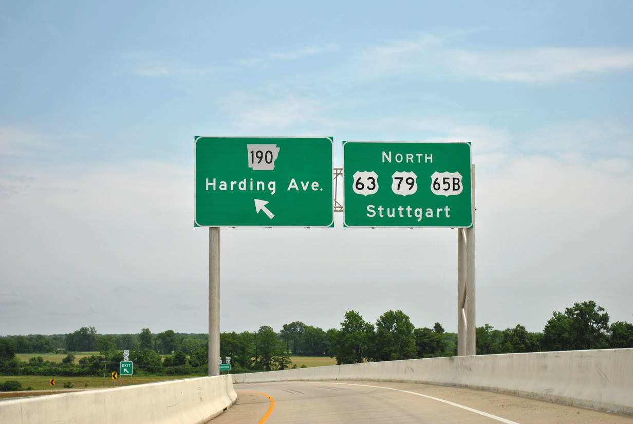
| Guide signs alert motorists to the upcoming left hand split to Arkansas 190 west (Harding Avenue) as the ramp spans over the U.S. 65 mainline. Harding Avenue will carry State Highway 190 north and west to Ohio Street north. U.S. 63 & 79 will leave U.S. 65 Business in 0.8 miles for Stuttgart while the bannered route continues along Martha Mitchell Expressway around Pine Bluff. 05/07/12 |
Page Updated 06-11-2014.


 South
South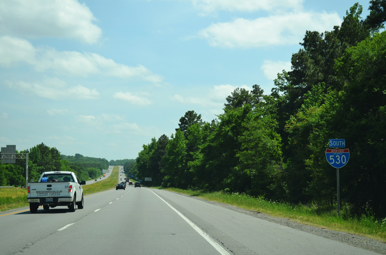


 North
North