
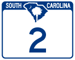
South Carolina Highway 2 constitutes a 3.94 mile long loop in in Lexington County. S.C. 2 branches east from U.S. 21-176-321 (Charleston Highway) along Frink Street across the city of Cayce to State Street. State Street takes S.C. 12 north to U.S. 1 (Meeting Street) and U.S. 378 (Sunset Boulevard) in West Columbia. The short route is all that remains from a historic 200 plus mile long highway that ran across the state. S.C. 2 was mostly superseded by U.S. 76, U.S. 176 and U.S. 178 in the 1940s.
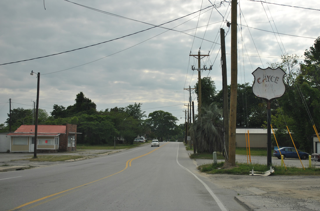
 | State Street carries S.C. 2 south to Frink Street west in an older commercial district of Cayce. The state highway crosses a set of Norfolk Southern Railroad tracks between Railroad Avenue and Cayce Street. 04/15/12 |
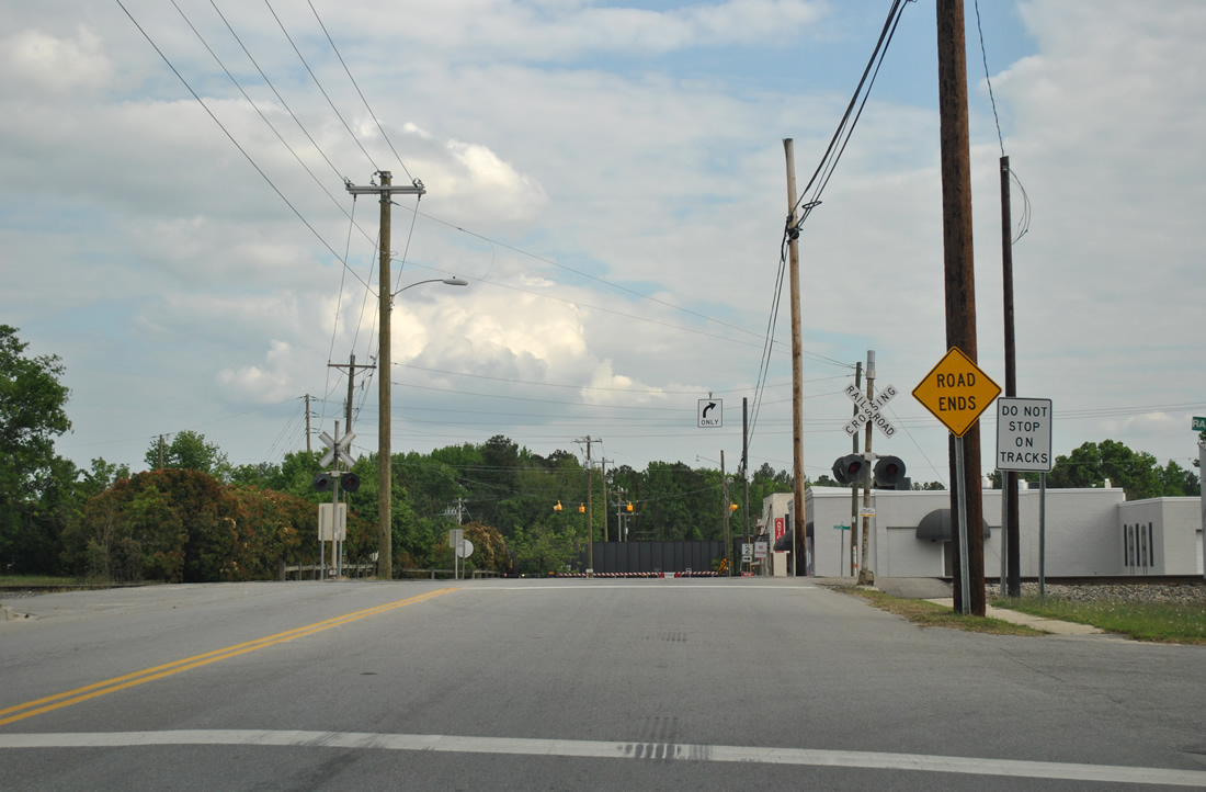
 | A shield assembly for S.C. 2 directs motorists onto Frink Street west, with a set of flashers operating at the entrance to Cayce Quarry. The at-grade crossing with the CSX Railroad on State Street south permanently closed some time ago. 04/15/12 |
 | S.C. 2 continues west along Frink Street between a NS Railroad line and a CSX Railroad yard on the ensuing stretch. 04/15/12 |
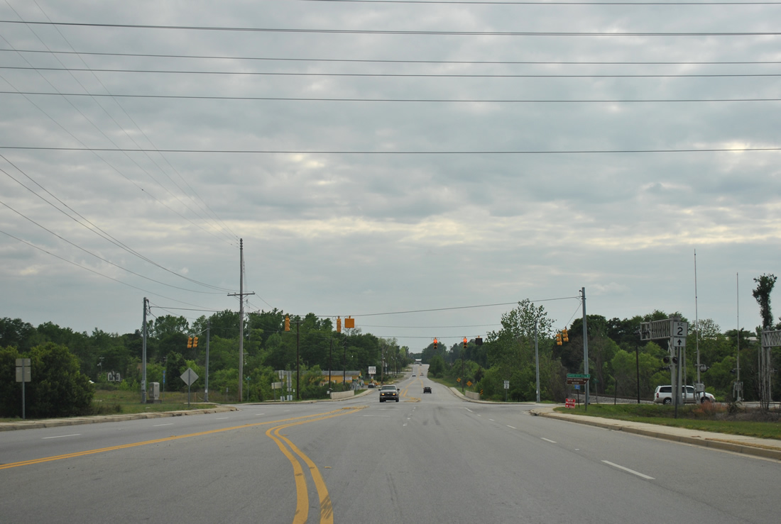
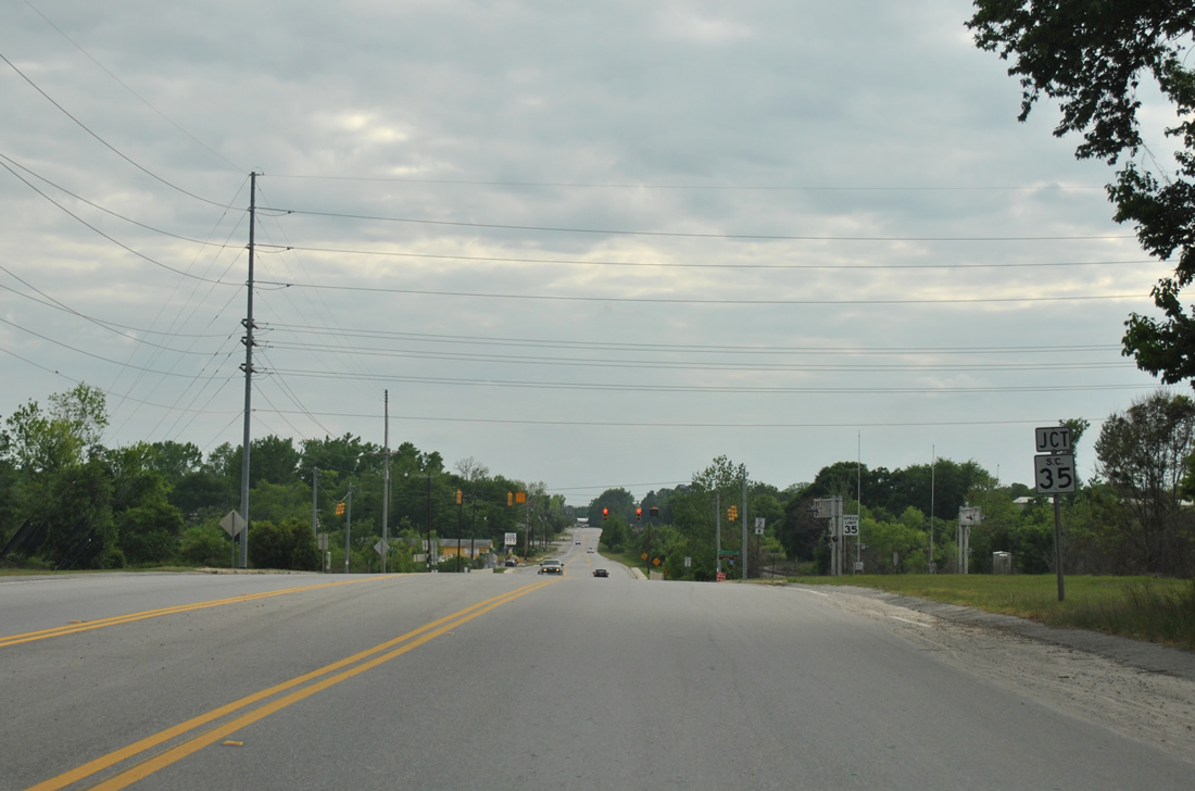 | S.C. 2 expands to four lanes ahead of the signalized intersection with S.C. 35. S.C. 35 follows 12th Street north to West Columbia and the 12th Street Extension south 3.33 miles to Interstate 77. 04/15/12 |
 | Paralleling a Norfolk Southern Railroad line through residential areas of south Cayce, S.C. 2 (Frink Street) advances 1.61 miles west from S.C. 35 to U.S. 21-176-321 (Charleston Highway). 04/15/12 |
Photo Credits:
04/15/12 by AARoads
Connect with:
U.S. 1
U.S. 21
U.S. 176
U.S. 321
U.S. 378
Highway 35
Page Updated 09-16-2021.