|
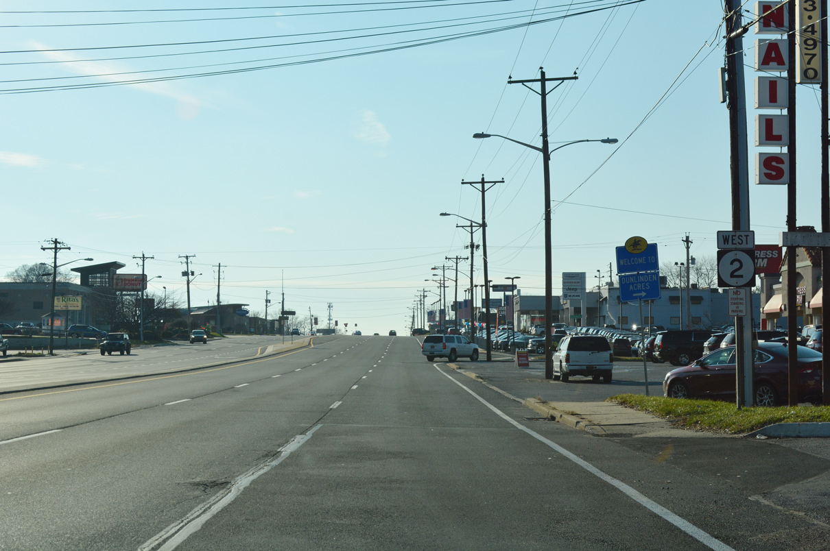
| The westbound beginning of SR 2 from SR 52 (Pennsylvania Avenue) along Union Street is unmarked. A vintage confirming marker was posted here until 1993 or so. It was never replaced. 12/20/17 |
|
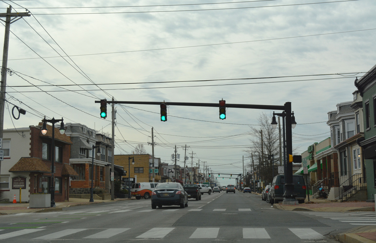
| Union Street westbound at 9th Street in the Little Italy neighborhood of Wilmington. Underway from October 30 to November 11, 2017. the Union Street Reconfiguration Project restriped the third travel lane along SR 2 westbound with both a painted green bike lane and back-in, angled parking spaces.1 12/20/17 |
|
| 8th Street intersects SR 2 (Union Street) north from the West Hill neighborhood. 12/20/17 |
|
| Union Street runs through the Flats community west from 7th Street. The Flats Redevelopment plan demolished structures over the next three blocks and replaced them with new housing. The project was part of a seven phase, $100 million plan to construct over 450 residential units.2 12/20/17 |
|
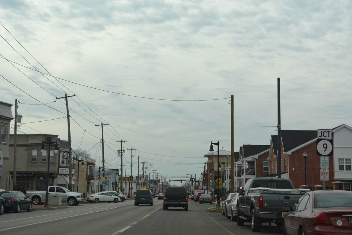
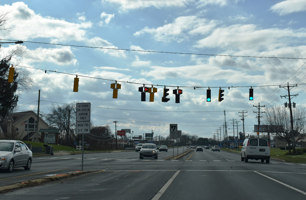
| Advancing three blocks south from 7th Street, SR 2 (Union Street) meets the north end of SR 9 (4th Street). The state route travels 58.2 miles south from Wilmington to SR 1 by Dover A.F.B.. 12/20/17 |
|
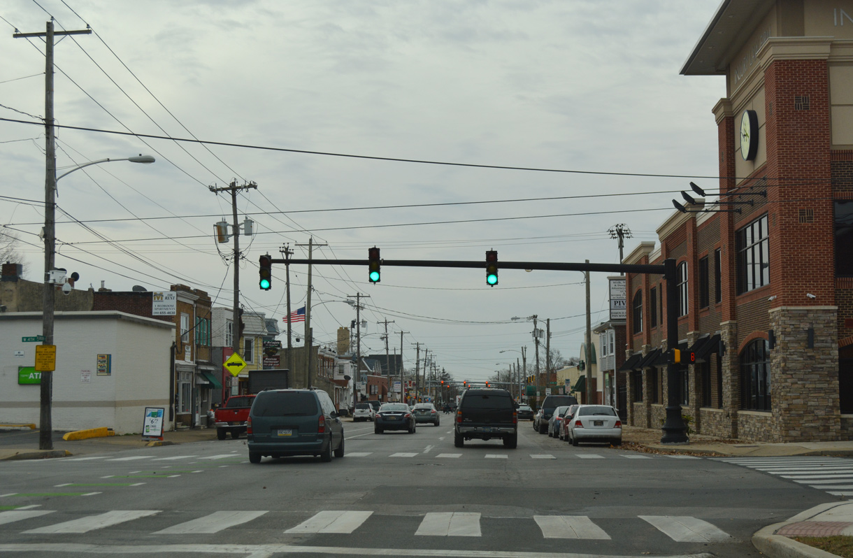
| SR 9 (Fourth Street) travels southeast from the Flats through the Hilltop neighborhood to I-95 and Quaker Hill. It combines with U.S. 13 through Southbridge before departing the city en route to New Castle. 12/20/17 |
|
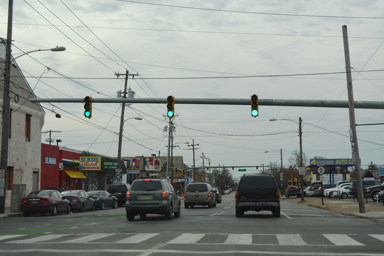
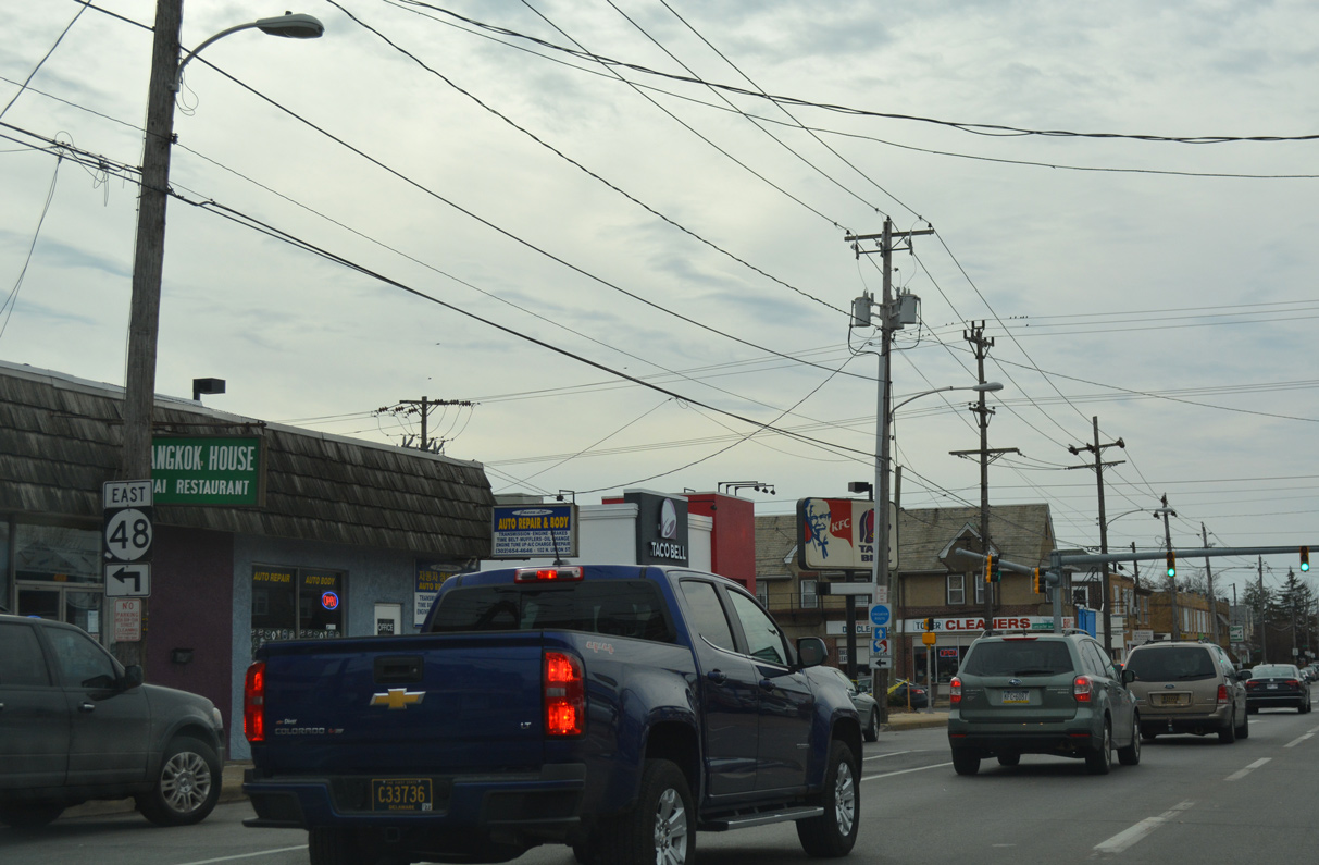
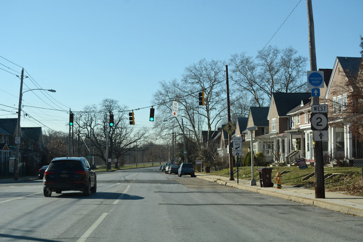
| SR 48 parallels SR 9 two blocks to the south along a couplet of 2nd Street north and Lancaster Avenue south. The state route westbound combines with SR 2 along Union Street for one block. 12/20/17 |
|
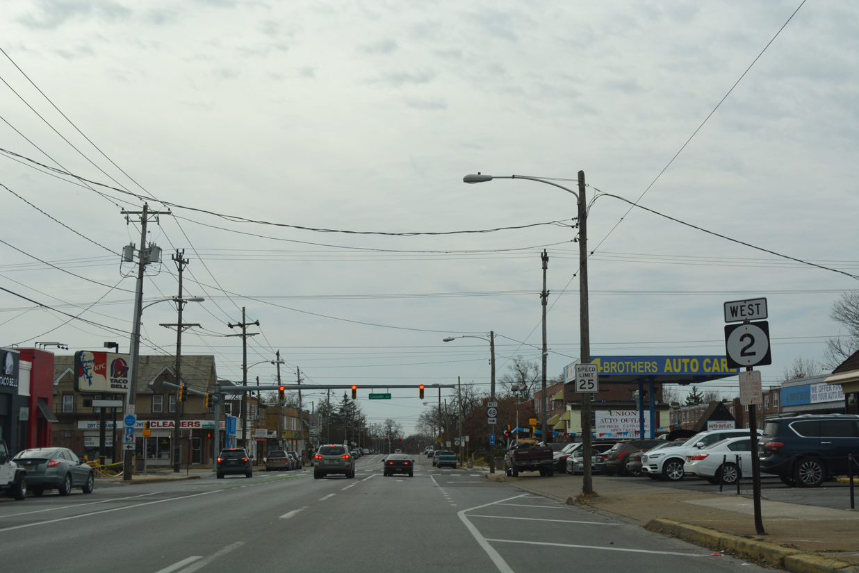
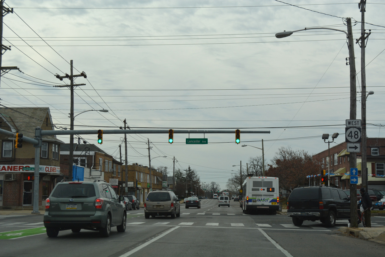
| SR 48 westbound turns north onto Lancaster Avenue, where the state route switches to two-way traffic through the Greenhill neighborhood. Lancaster Avenue (SR 48) is a one way street eastbound from SR 2 to Hedgeville and I-95. 12/20/17 |
|
| Lancaster Avenue north becomes Lancaster Pike outside the Wilmington city limits. The state route extends north with four lanes to Hercules Road, and 5.6 miles overall to SR 41 (Newport Gap Pike) near Hockessin. 12/20/17 |
|
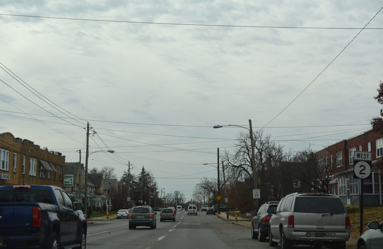
| Confirming marker for SR 2 west posted after the separation with SR 48 (Lancaster Avenue) north. 12/20/17 |
|
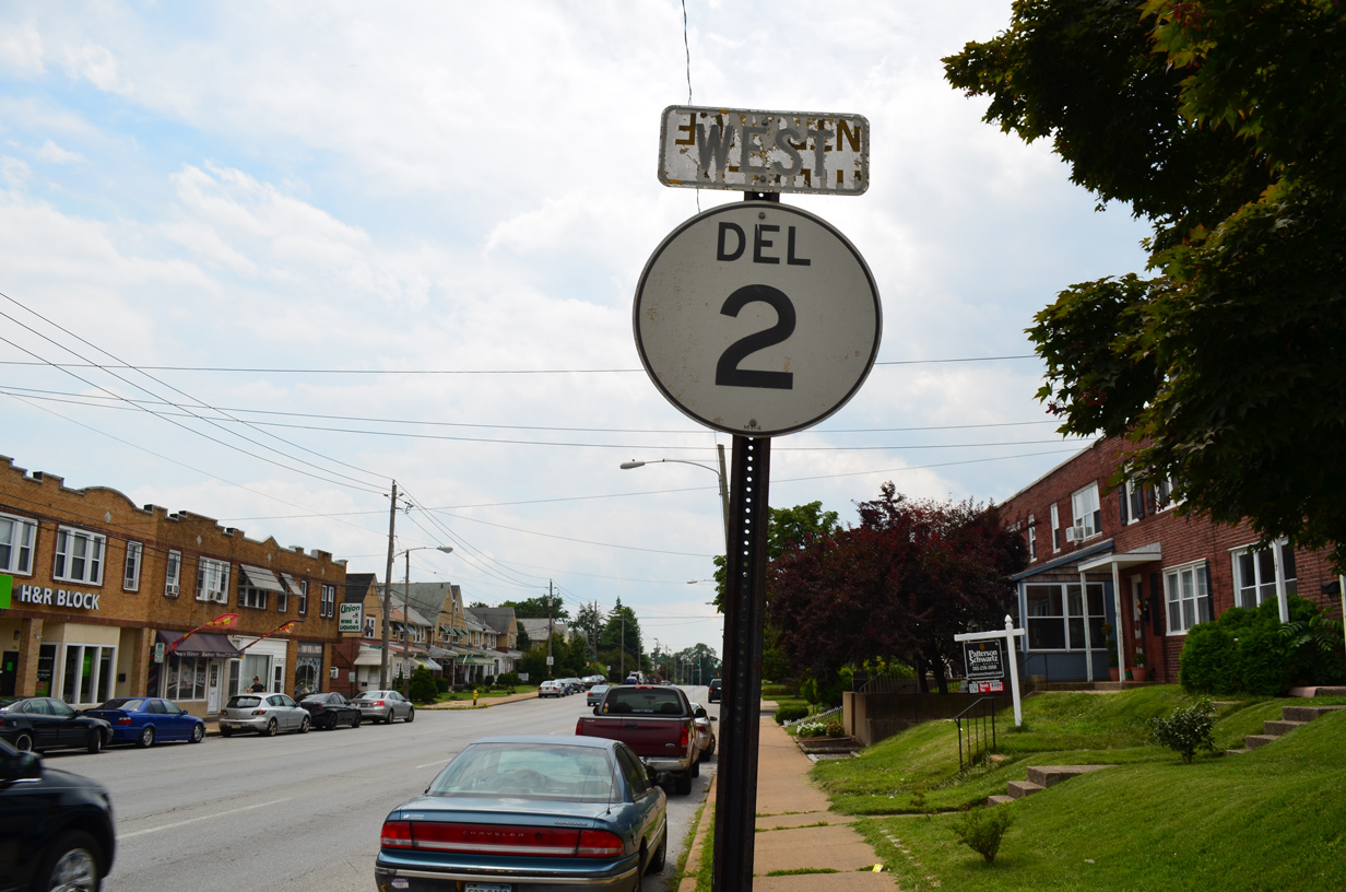
| A SR 2 cutout shield remained in use along Union Street west after SR 48 north. The cutout was one of only three left in the city as of April 2004, and two left as of August 2007. It was replaced by Summer 2016. 07/31/13 |
|
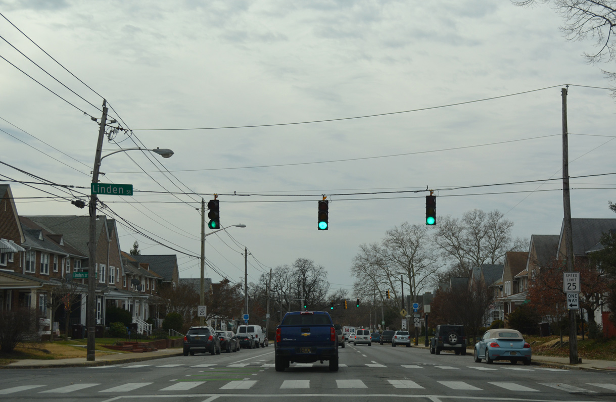
| Linden Street connects SR 2 (Union Street) west with Bayard Middle School and the Union Park Gardens community. 12/20/17 |
|
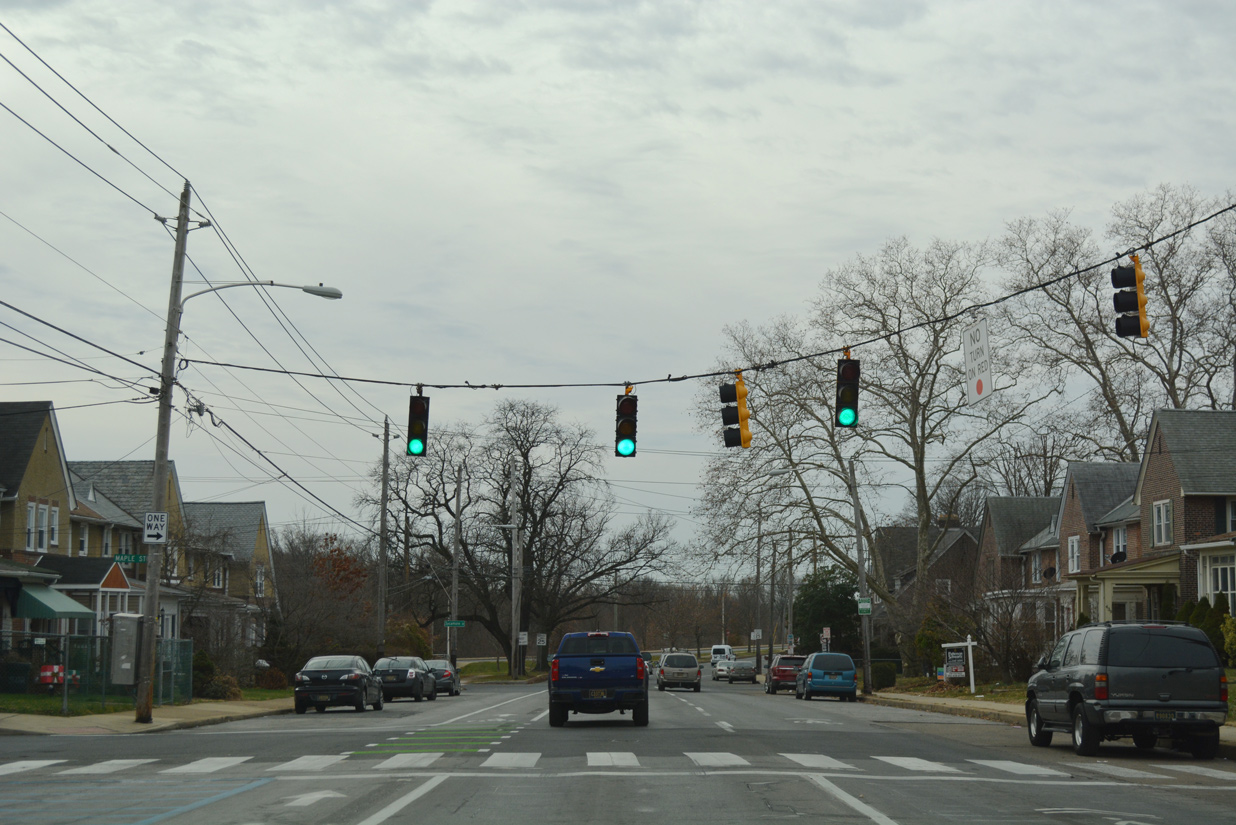
| A SR 2 trailblazer appears at the traffic light with Maple Street. 12/20/16 |
|
| Maple Street heads south to Bayard Square and Kosciuszko Park. Canby Park lies one block ahead. 12/20/17 |
|
| Union Street west combines with Lincoln Street as a four lane arterial through Canby Park. 12/20/16 |
|
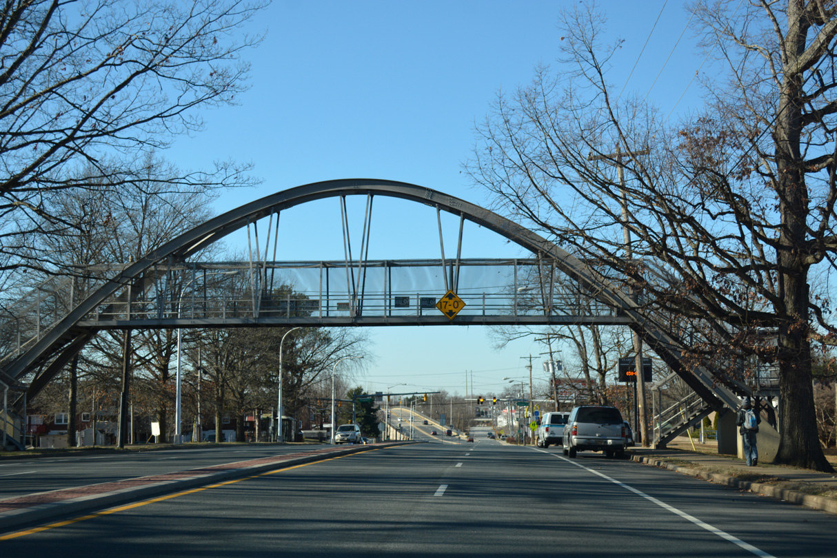
| A pedestrian bridge spans SR 2 (Union Street) at the west end of Canby Park. 12/20/16 |
|
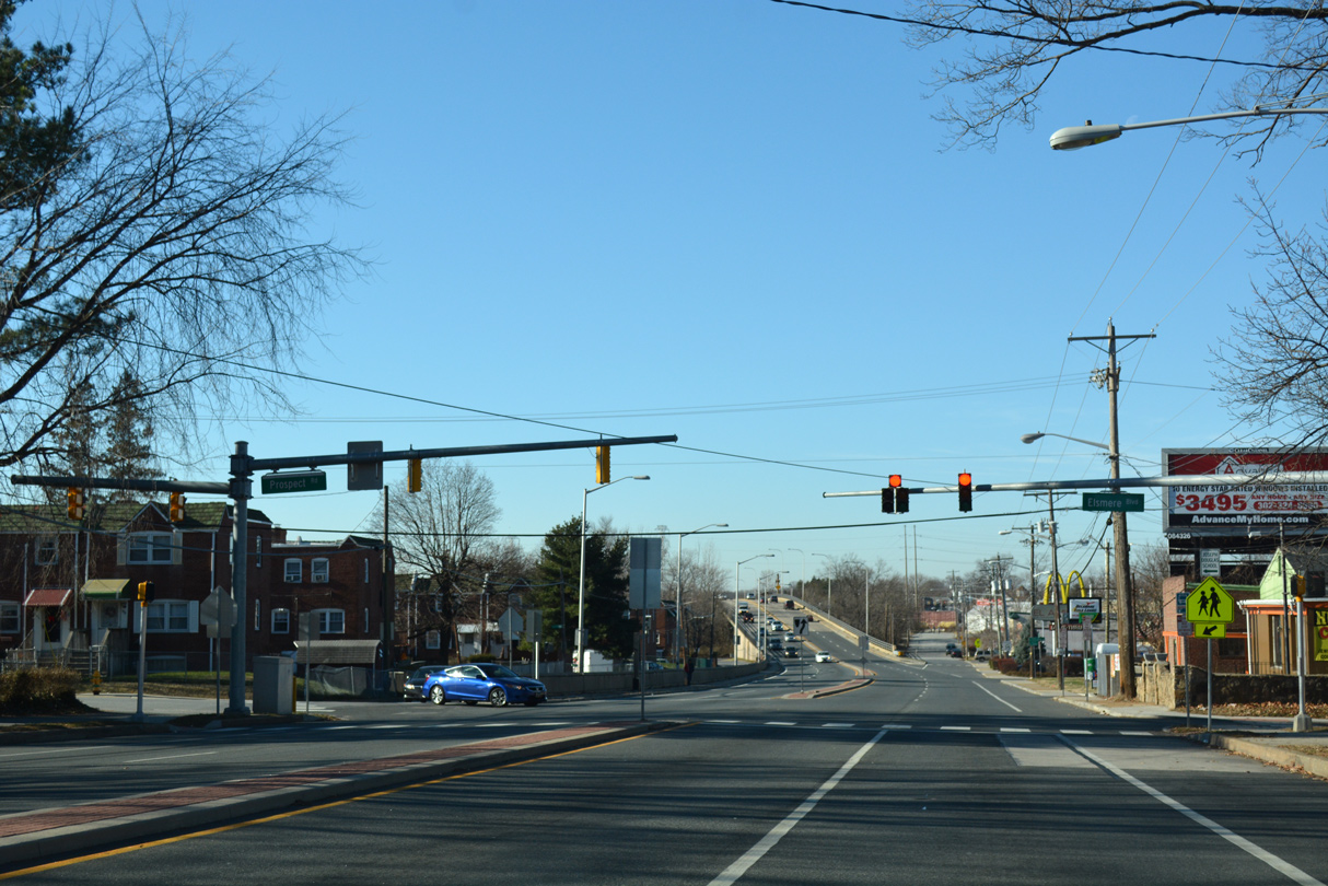
| Prospect Avenue provides the lone access point from SR 2 (Union Street) to the Canby Park Estates neighborhood to the south. The avenue flows south to Rodman Road, with return access provided via a frontage road (New Road) east at this same intersection. 12/20/16 |
|
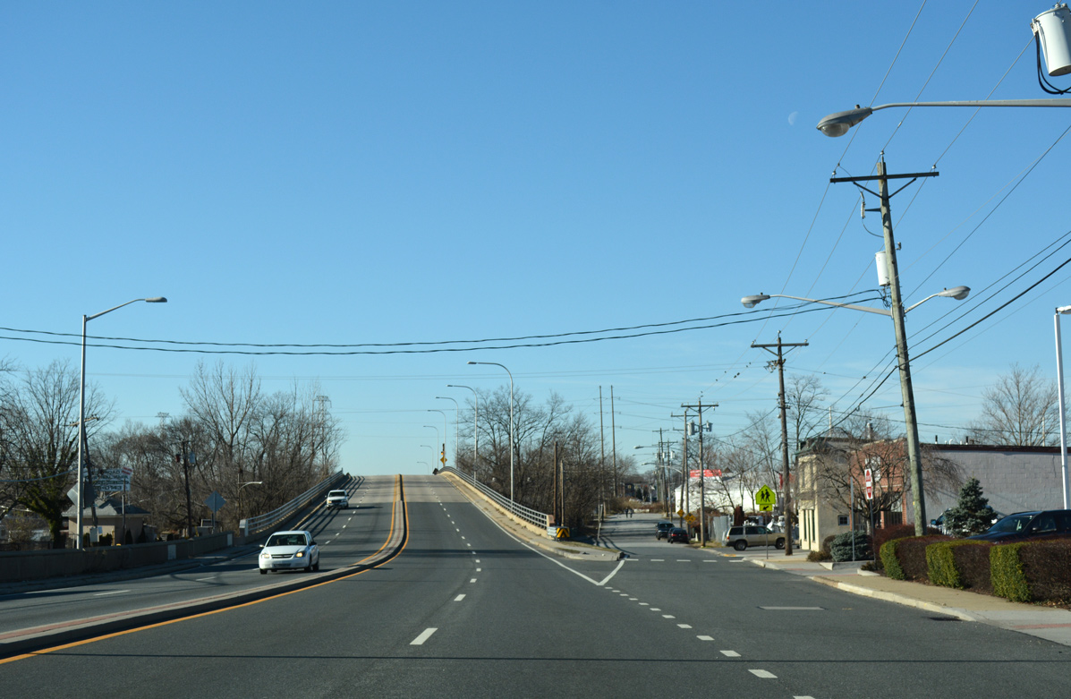
| Just across the Elsmere town line, SR 2 separates with New Road and ascends above CSX and Delaware Valley Railroad lines. This span was four laned in 1985. 12/20/16 |
|
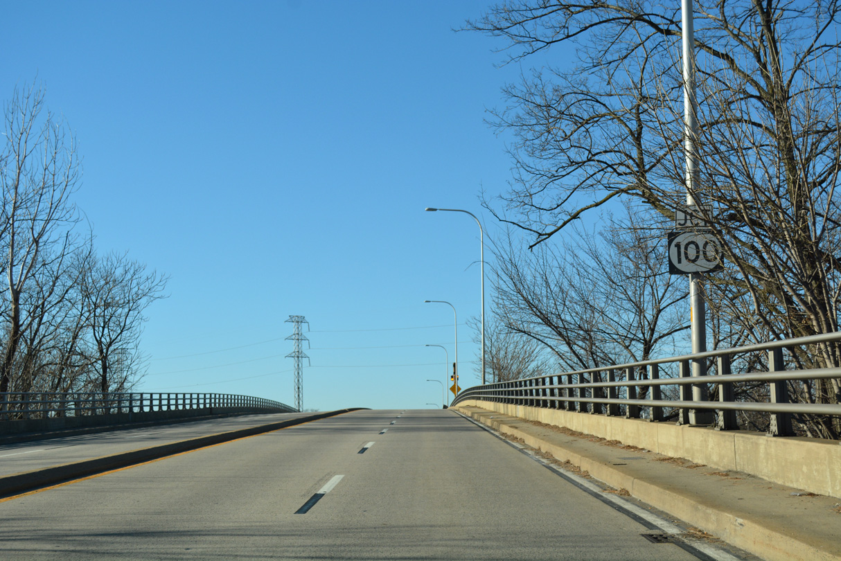
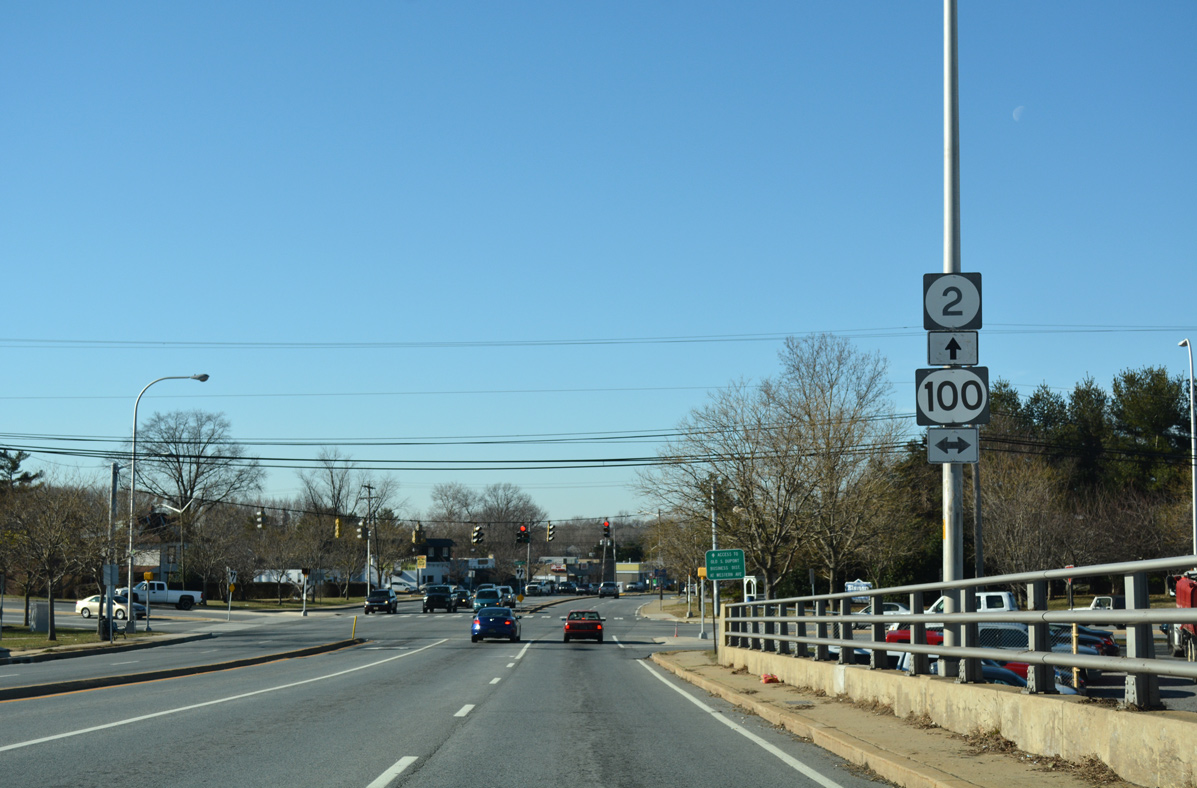
| The CSX Railroad bridge precedes the junction of SR 2 (Kirkwood Highway) with SR 100 (Dupont Road). 12/20/16 |
|
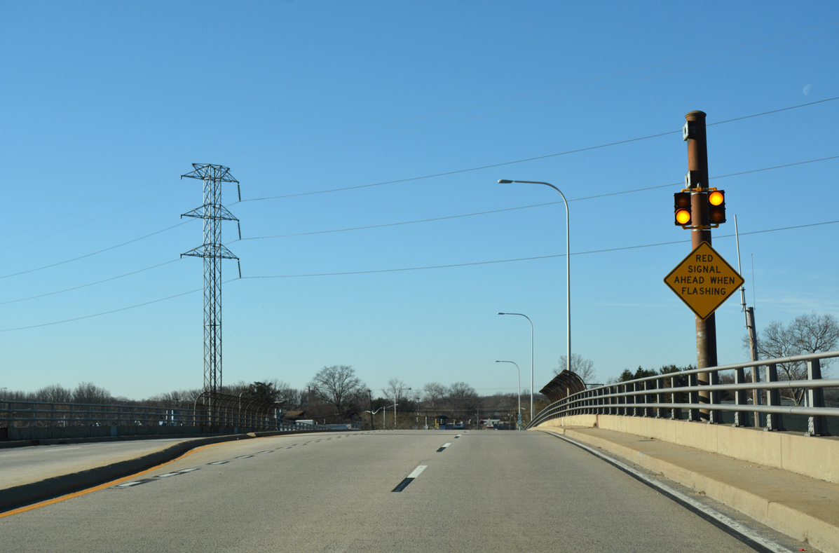
| A set of beacons flash to alert motorists during the red signal phase for Dupont Road. An overhead assembly previously operated here. 12/20/16 |
|
| SR 100 (Dupont Road) leads south to end at SR 4 (Maryland Avenue) at Richardson Park. Northward the state route intersects Faulkland Road (old SR 34) ahead of an overlap with SR 48 at the northwest corner of Wilmington. 12/20/16 |
|
| Dupont Road represents the main arterial from south to north through Elsmere. The four lane highway crosses the CSX Railroad on a viaduct just to the south. The bridge bypassed an older alignment traveling at-grade just to the east. 07/31/13 |
|
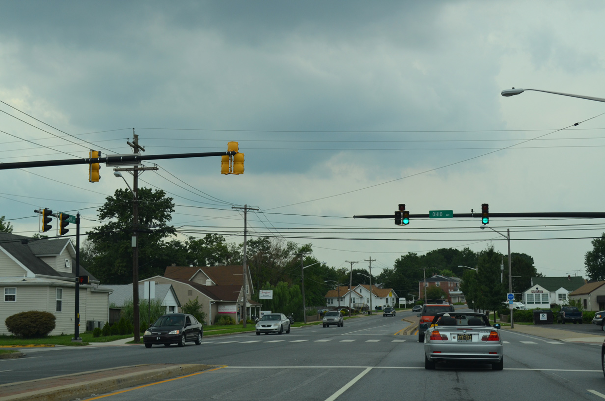
| Ohio Avenue links SR 2 (Kirkwood Highway) with adjacent New Road and residential areas along Baltimore Avenue. 07/31/13 |
|
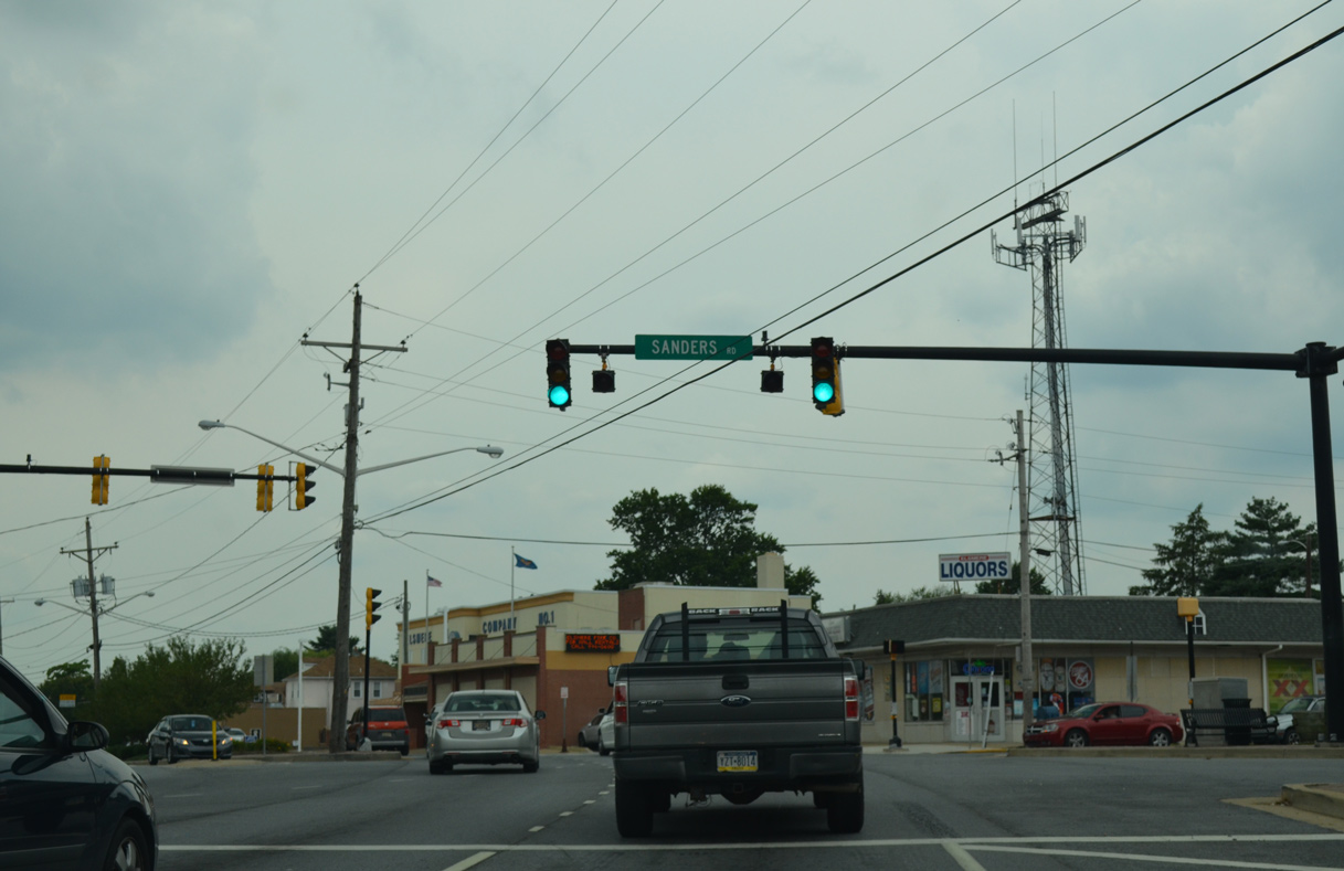
| New Road returns to SR 2 west at a five point intersection with Linden Avenue north and Sanders Road south. 07/31/13 |
|
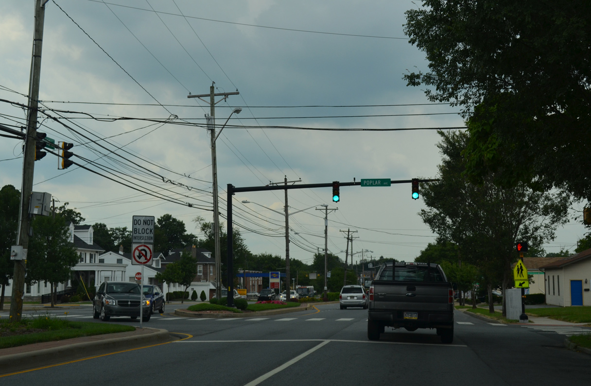
| Continuing west from central Elsmere, Kirkwood Highway intersects Poplar Avenue at this signal servicing Austin Baltz Elementary and the Oak Grove and Oak Hill neighborhoods. 07/31/13 |
|
| Back to back signals control movements to Wilmington VA Medical Center and Hazel Avenue along SR 2 west at the Elsmere town line. 07/31/13 |
|
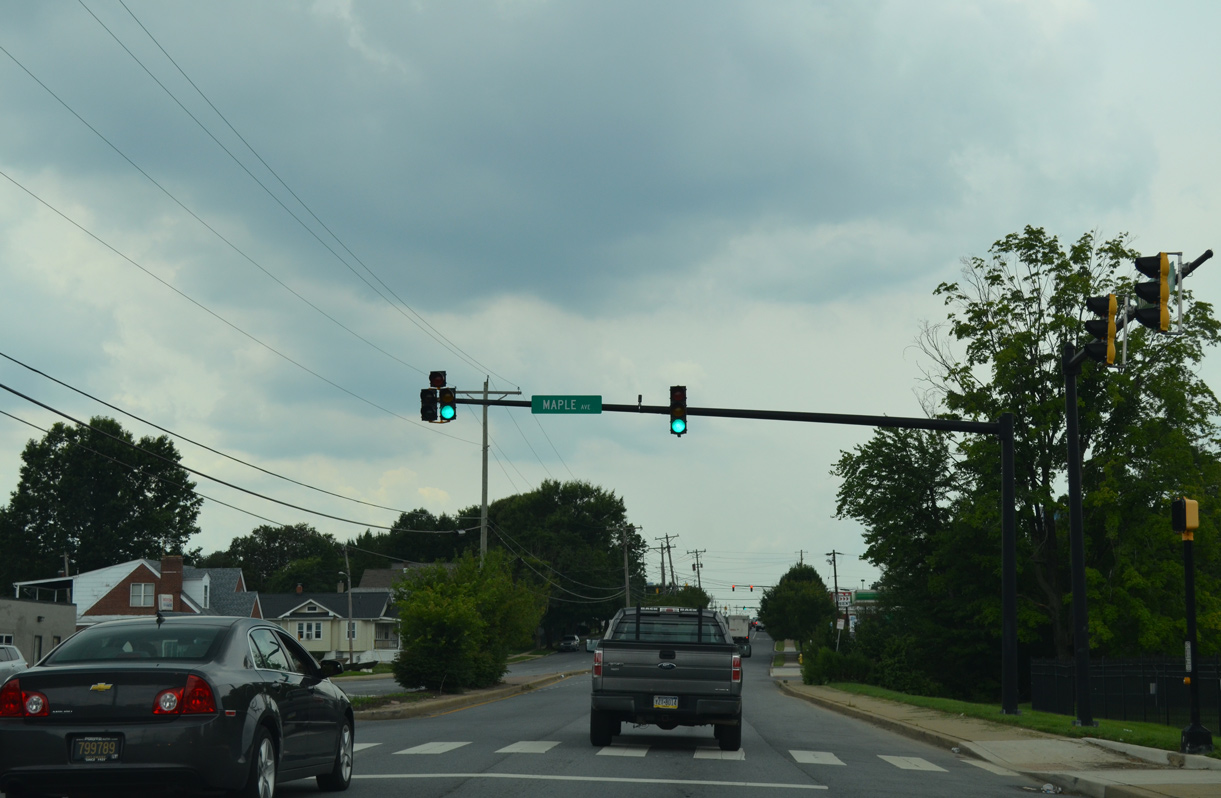
| Maple Avenue stems south from Kirkwood Highway and the west entrance to the VA Medical Center to the Elsmere Gardens neighborhood. 07/31/13 |
|
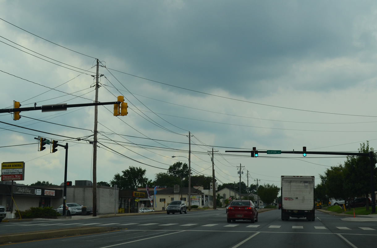
| West from Elsmere Shopping Center, SR 2 (Kirkwood Highway) intersects Clifton Avenue at the Roselle neighborhood. 07/31/13 |
|
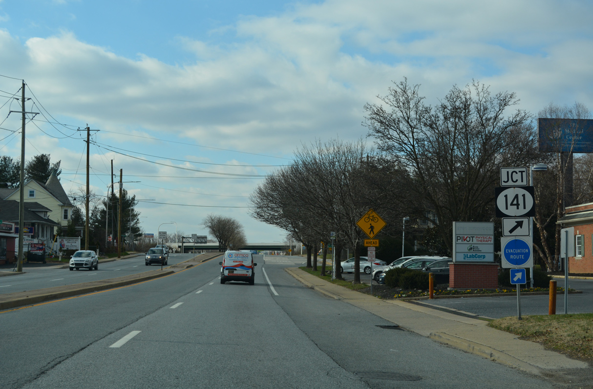
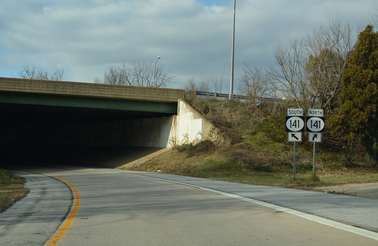
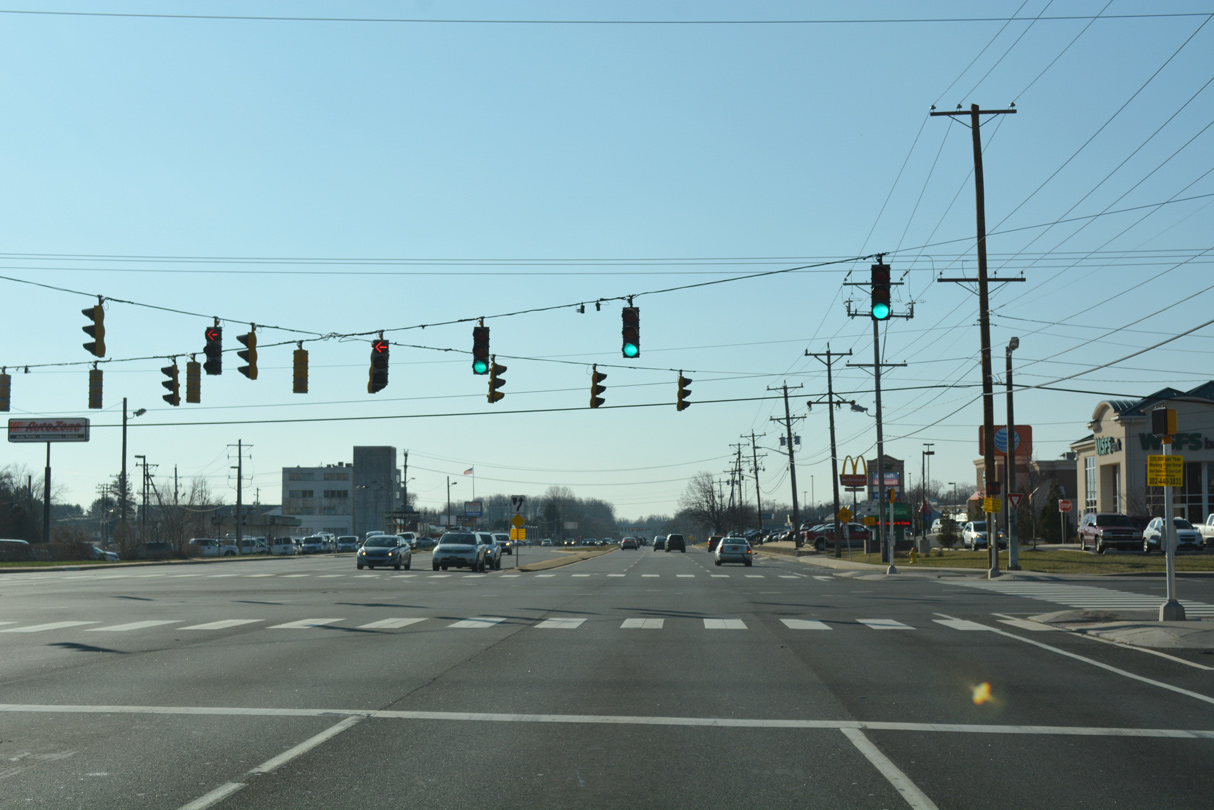
| SR 2 next enters the directional cloverleaf interchange with SR 141 (Newport Freeway) at Prices Corner. 12/19/22 |
|
| A sharp turn from SR 2 westbound leads onto the entrance ramp for SR 141 (Newport Freeway). 12/19/22 |
|
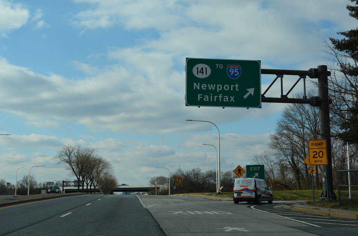
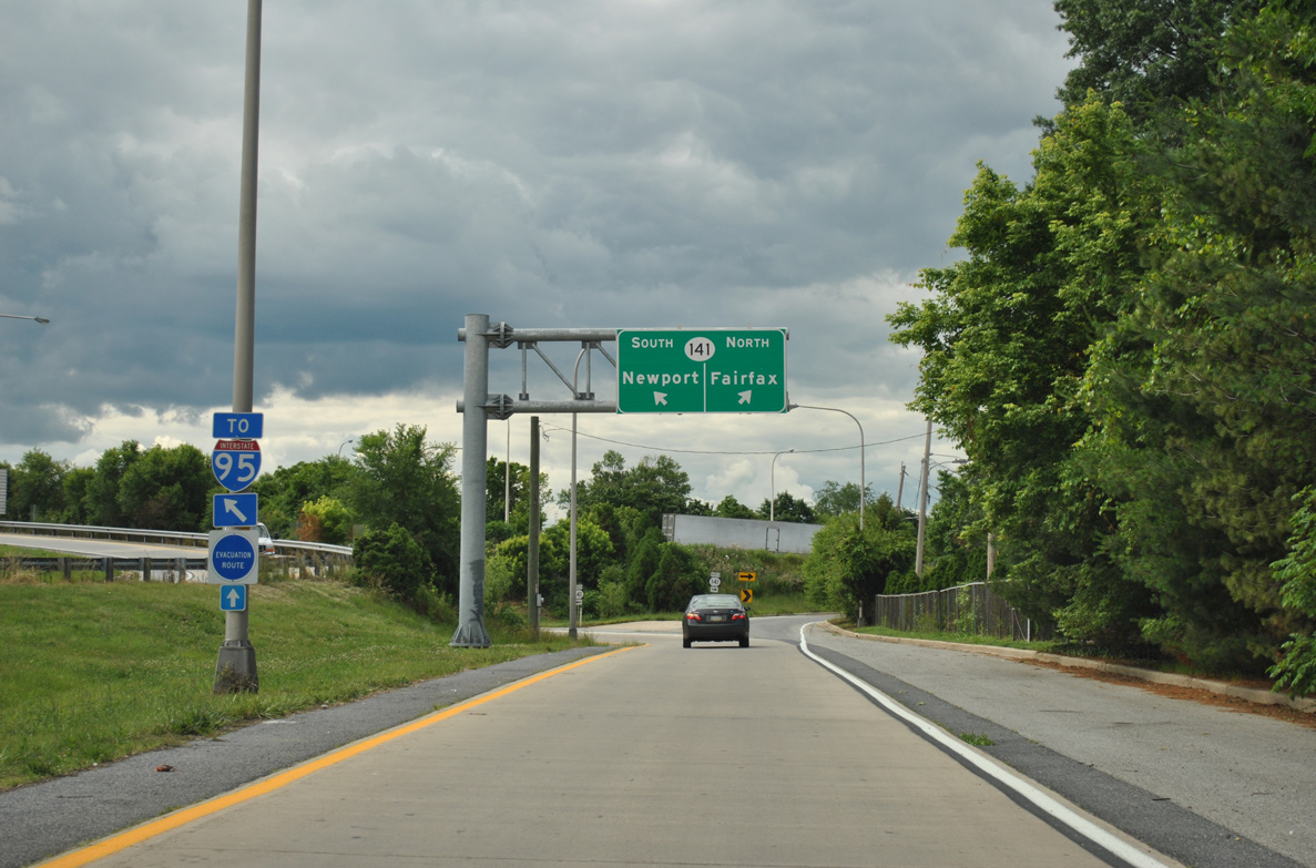
| SR 141 leads south as a commuter freeway to the town of Newport and the exchange joining I-95/295. The Newport Freeway was constructed between 1971 and 1979. 06/05/12 |
|
| Measuring 11.3 miles overall, SR 141 loops south from Prices Corner to SR 9 at New Castle and northeast to Fairfax and U.S. 202 at Blue Ball. 12/19/22 |
|
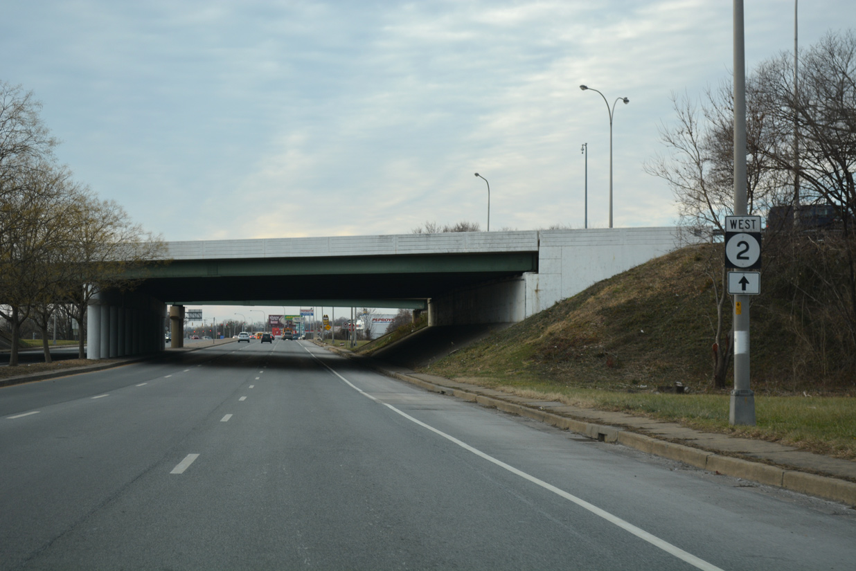
| North from SR 2, SR 141 downgrades from the Newport Freeway onto Centre Road, a divided four lane arterial north to Faulkand Road at the Delle Donne Corporate Center. Further north, a short freeway section takes the state route to SR 52 at Greenville. 12/19/22 |
|
| Overpasses spanning Kirkwood Higwhay carry the SR 141 mainline, a c/d roadway and a directional ramp to southbound from SR 2 westbound. The interchange is incomplete, as there is no direct access from SR 141 (Centre Road) south to Kirkwood Highway west. 12/20/17 |
|
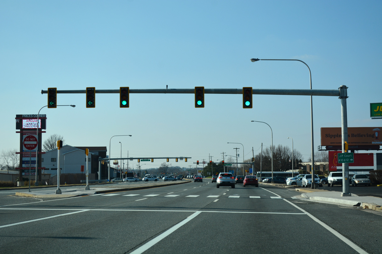
| Kirkwood Highway passes over Centerville Road ahead of Albertson Boulevard and the left turn to Prices Corner Shopping Center. The big box retail center lies west of Centerville Road (old SR 141) and south of SR 2. 12/23/18 |
|
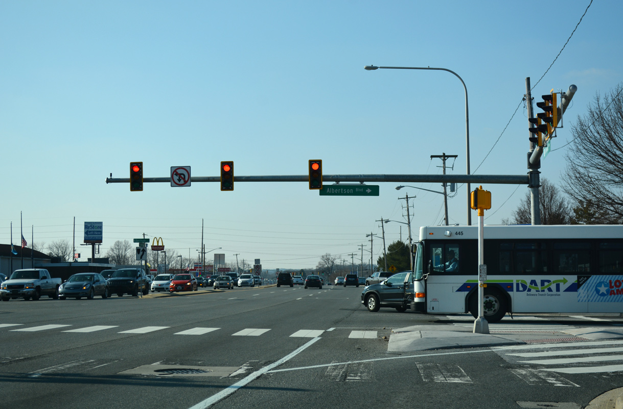
| Albertson Boulevard stems north from the main exit of Prices Corner Shopping Center to Greenbank Road and the Albertson Park subdivision. 12/23/18 |
|
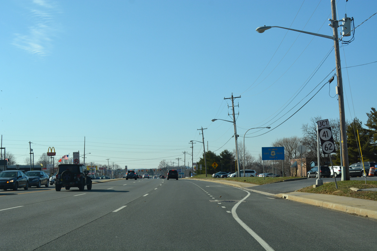
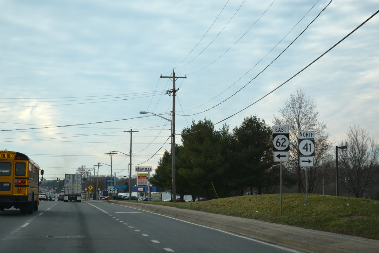
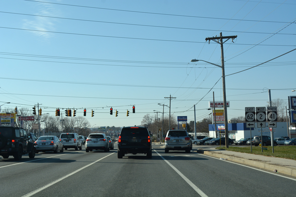
| SR 2 (Kirkwood Highway) intersects the south end of SR 41 and the north end of SR 62 just west of Albertson Boulevard at Newport Gap Pike. 12/22/16 |
|
| SR 41 formerly overlapped with SR 2 (Kirkwood Highway) west from SR 141. The concurrency was dropped in 2015 due to redundancy, with references to SR 41 removed from SR 141 and area roads around Newport. Sign changes included an extension of SR 62 north along Newport Gap Pike to SR 2. 12/20/17 |
|
| SR 41 (Newport Gap Pike) angles northwest from Prices Corner to SR 48, where it overtakes Lancaster Pike north through Hockessin. Together with PA 41, the 28 mile route connects the Wilmington area with U.S. 30 at Gap for points west including Lancaster and Harrisburg. 12/22/16 |
|
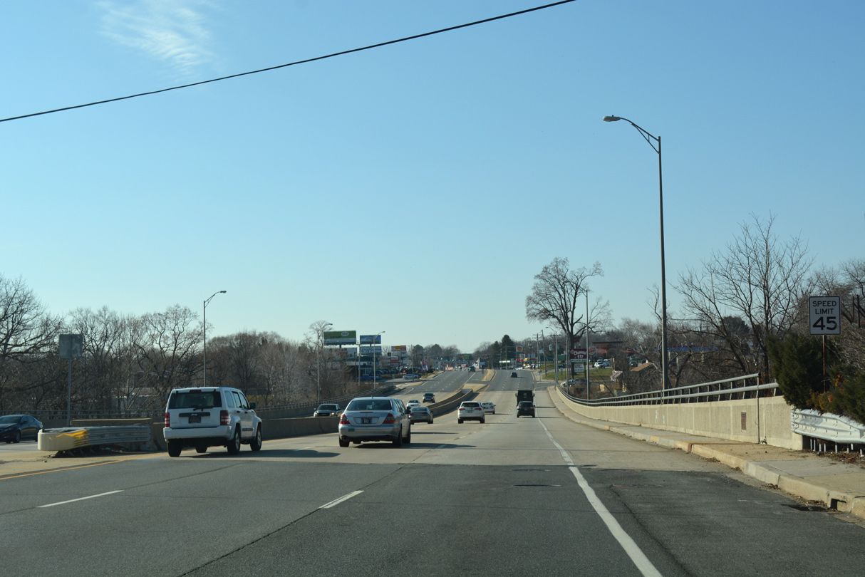
| Kirkwood Highway expands into a six lane arterial west from SR 41/62 across Red Clay Creek. 12/22/16 |
|
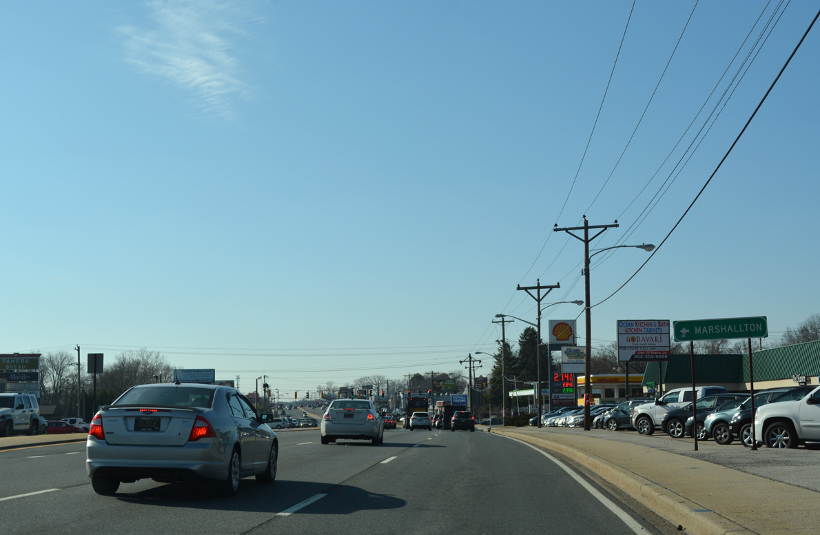
| Duncan Road leads south from Kirkwood Highway to Marshallton and north to Delcastle Park. 12/22/16, 12/20/17 |
|
| Reassurance marker for SR 2 west posted after Duncan Road. 12/23/18 |
|
| Farrand Drive (Road 12A) links SR 2 with the eastern segment of Old Capitol Trail (old SR 2) to Marshallton, and the Kirkwood Gardens subdivision to the north. 12/23/22 |
|
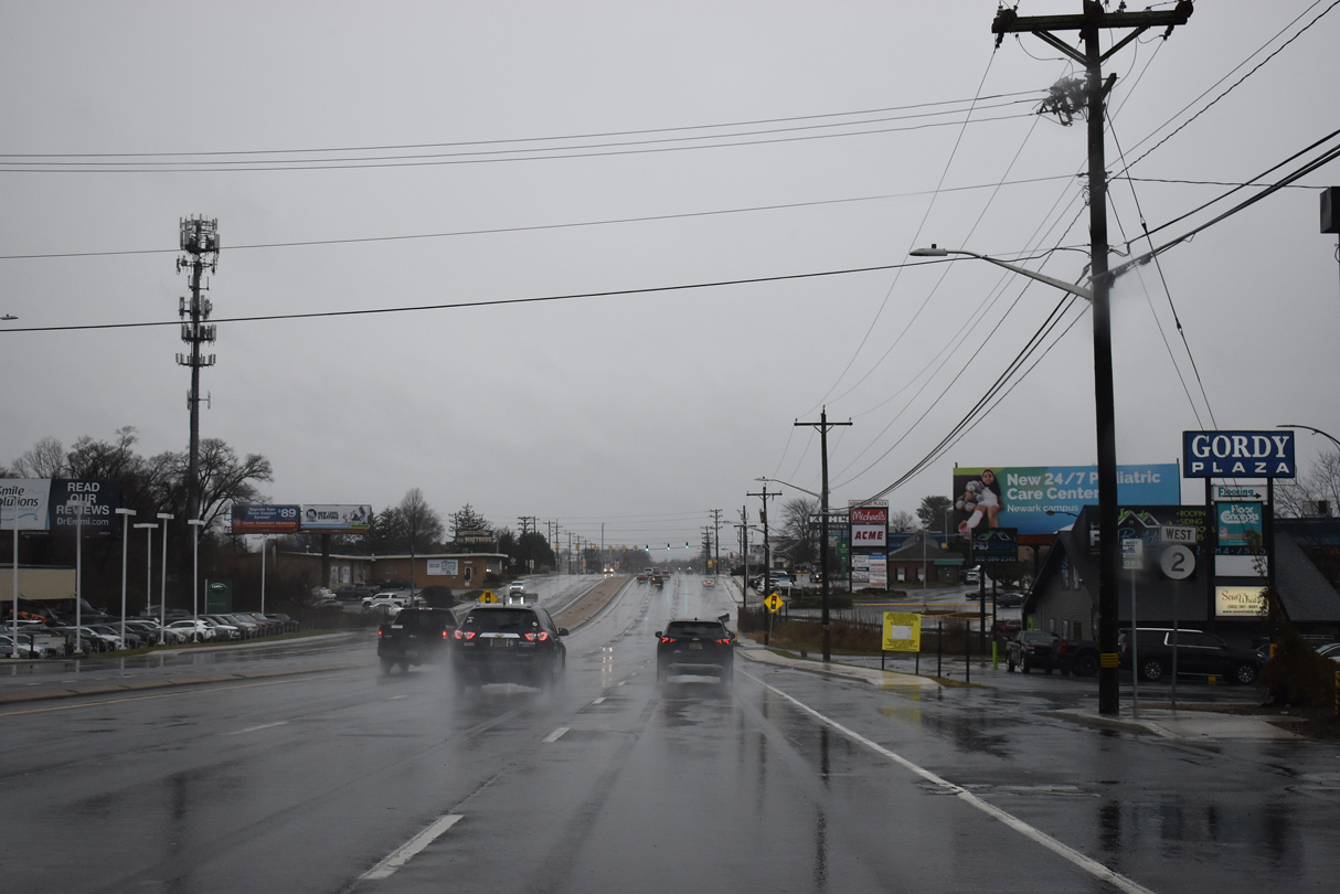
| A number of shopping centers line SR 2 west through the Pike Creek Valley, including Gordy and Kirkwood Plazas after Farrand Drive. 12/23/22 |
|
| A signalized turn lane aids traffic from Kirkwood Highway eastbound to Kirkwood Plaza Shopping Center across SR 2 west. The eastern section of Old Capitol Trail ties into SR 2 east opposite this traffic light. 08/03/13 |
|
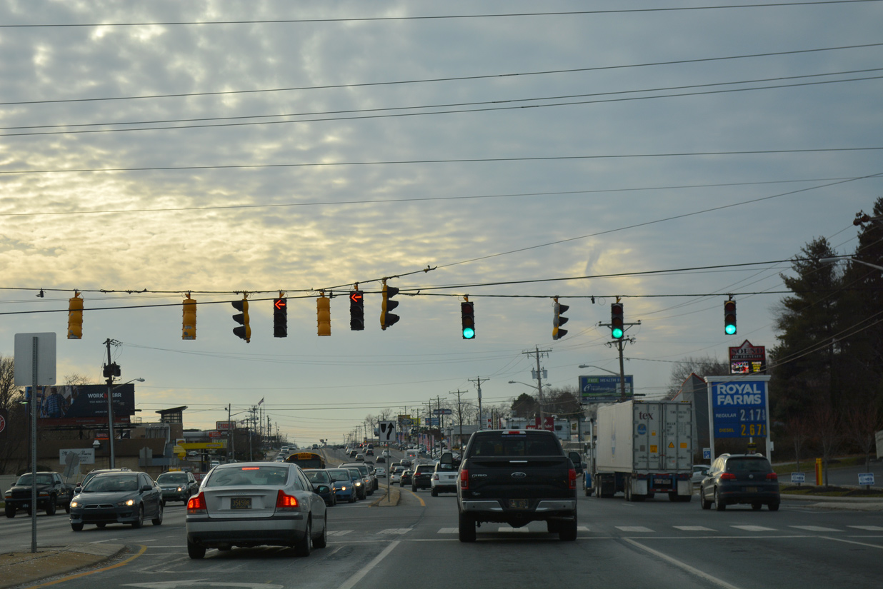
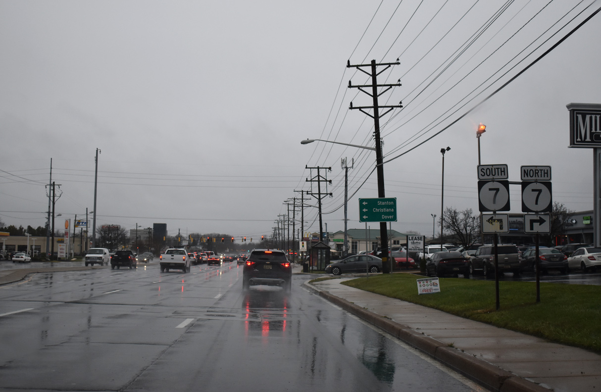
| Advancing a short distance west from Kirkwood Plaza, SR 2 (Kirkwood Highway) enters the congested intersection with SR 7 (Limestone Road). 12/23/22 |
|
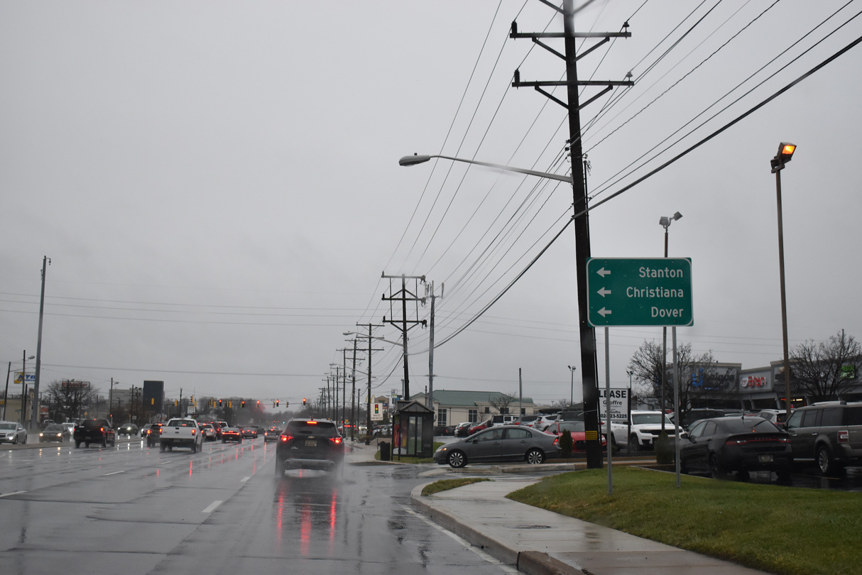
| SR 7 constitutes a busy commuter route south to Stanton, Churchmans Crossing and Christiana. The state route also leads motorists directly to SR 1 south for Dover. 12/23/22 |
|
| Following Limestone Road, SR 7 winds northwest from SR 2 through the suburbs of Upper Pike Creek Valley toward Hockessin and Kaolin, Pennsylvania. 12/22/16 |
|
| Griffin Drive curves south from the Limestone Acres subdivision to intersect SR 2 across from St. James Church Road. St. James Church Road (Road 337) links Kirkwood Highway with the western section of Old Capitol Trail (Road 20). 12/23/22 |
|
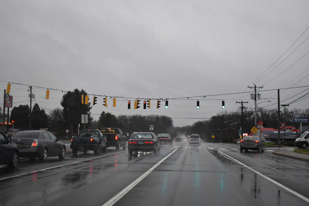
| Kirkwood Highway reduces to four lanes west of St. James Church Road. Milltown Road (Road 318) concludes a 2.9 mile loop southwest from SR 41 (Newport Gap Pike) at the ensuing westbound signal on SR 2. 12/23/22 |
|
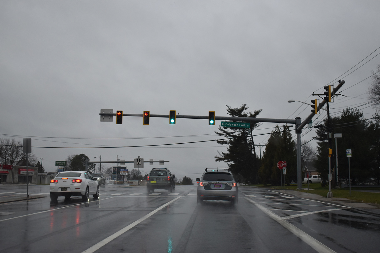
| Delaware Park Drive (Road 11A) intersects SR 2 to the immediate west of Milltown Road. The four lane boulevard connects Kirkwood Highway with Old Capitol Trail (Road 20) and the north entrance to Delaware Park Racetrack and Casino. 12/23/22 |
|
| This reassurance marker for SR 2 west of Delaware Park Boulevard was removed by 2012. 07/03/10 |
|
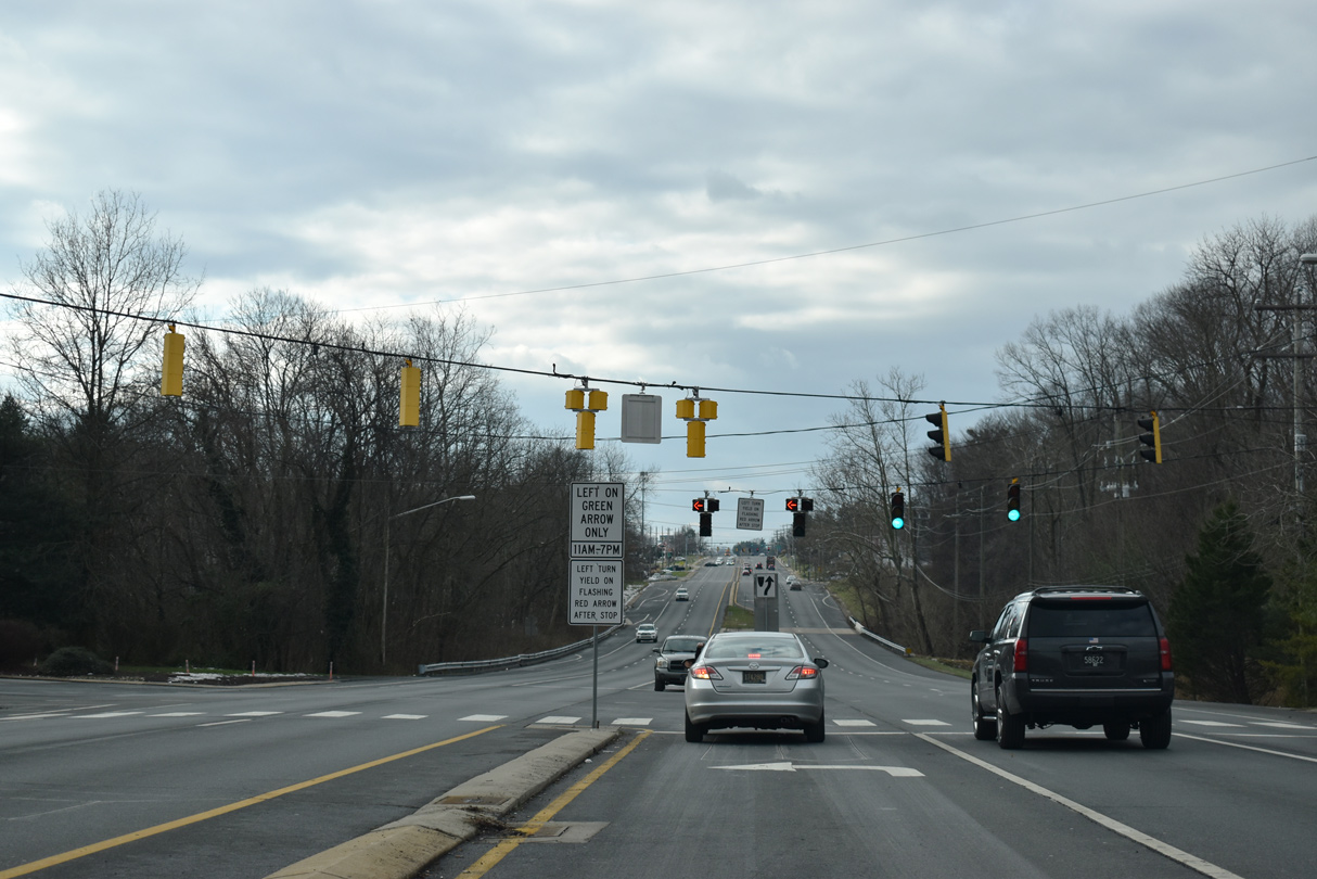
| Pike Creek Road arcs northwest around the back side of the Meadowood Community to Upper Pike Creek and Old Coach Roads at White Clay Creek State Park. SR 2 overtakes the original alignment of Capitol Trail from this point westward, with both Capitol Trail and Kirkwood Highway used in reference to the arterial. 12/22/20 |
|
| Continuing west, SR 2 (Kirkwood Highway) passes through the commercialized intersection with Meadowood Drive. A pedestrian bridge connects the two sections of Meadowood and Forest Oak Elementary. 12/23/22 |
|
| SR 2 dips to cross Pike Creek beyond the signalized entrance to the Green Valley subdivision. Forest land to the northwest falls within White Clay Creek State Park. 12/22/20 |
|
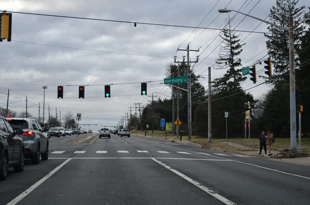
| Harmony Road (Rd 355) leads south from SR 2 (Capitol Trail) as a popular short cut to SR 273 and Interstate 95 near Christiana. The major collector also serves Harmony Industrial Park and Chrisiana Hospital (via SR 4 east). 12/26/20 |
|
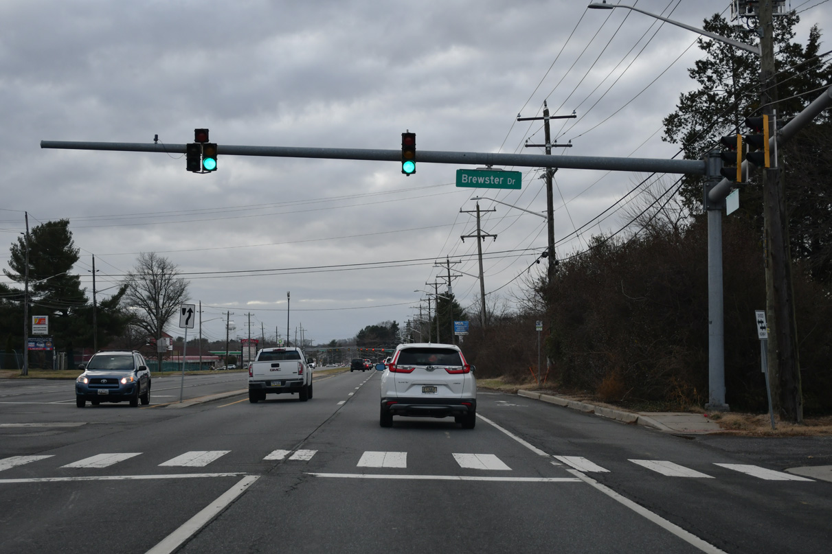
| Brewster Drive forms the main entrance to the Sycamore Gardens subdivision while servicing Shue Middle School on the south side of SR 2. 12/24/17 |
|
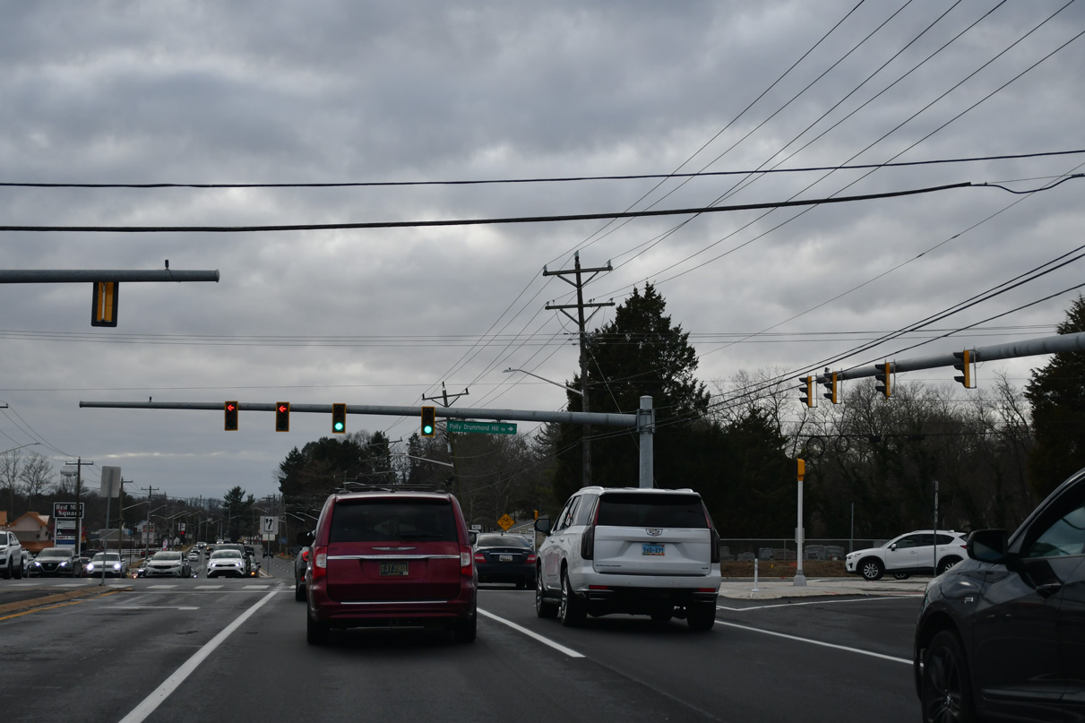
| Polly Drummond Hill Road south and Red Mill Road north come together at the succeeding westbound signal. Polly Drummond Hill Road passes through White Clay Creek State Park en route to SR 72. Red Mill Road south formerly extended to SR 4 at Ogletown, but mostly acts as a local route to Ruthar Drive now. 12/24/22 |
|
| A reassurance marker for SR 2 appears west of Red Mill Road (Road 352). 12/24/22 |
|
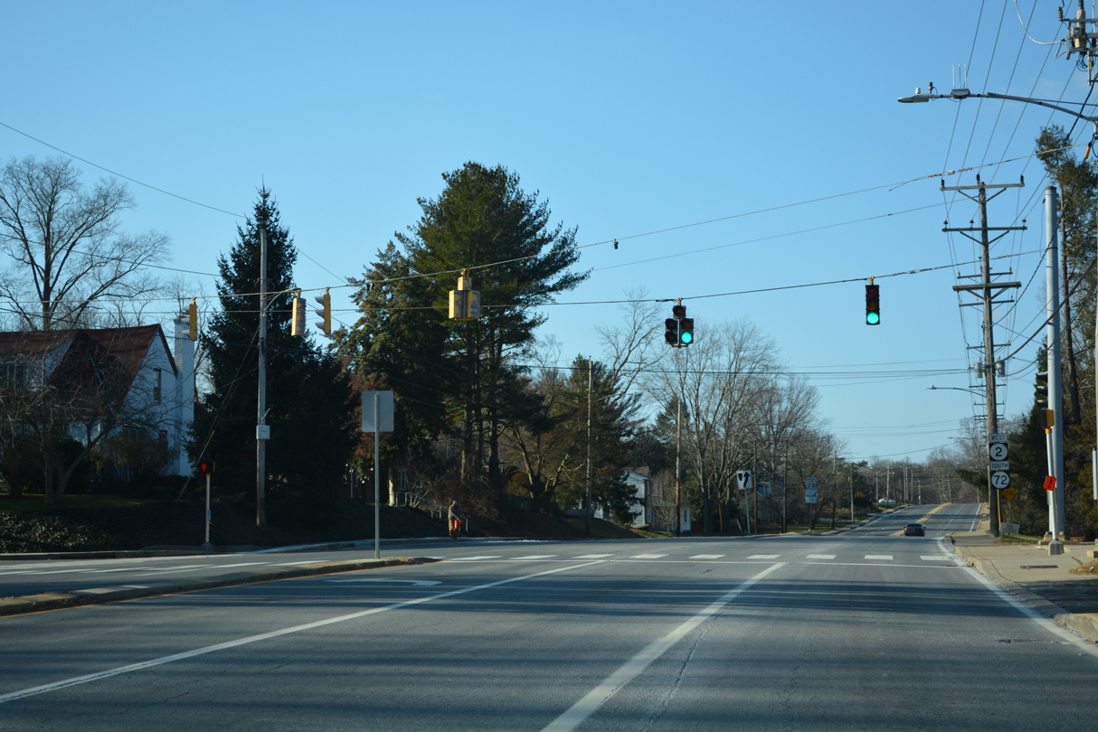
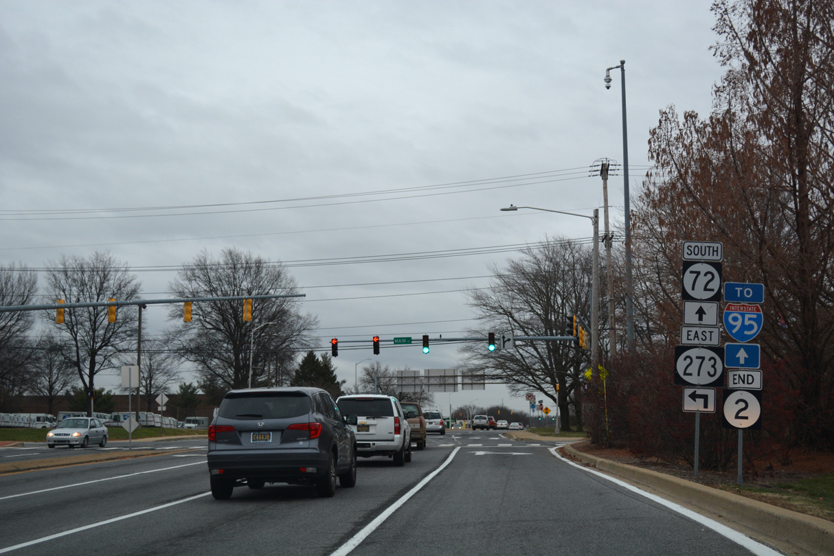
| Westbound SR 2 at the traffic light with Delaplane Avenue north and a connector to two apartment complexes. The first of two junction shields for SR 72 appears here. 12/24/22 |
|
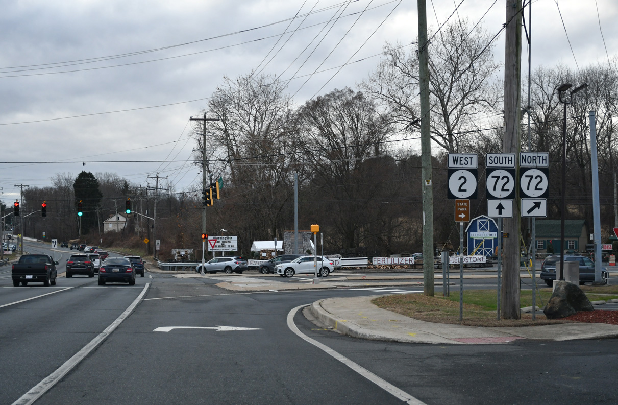
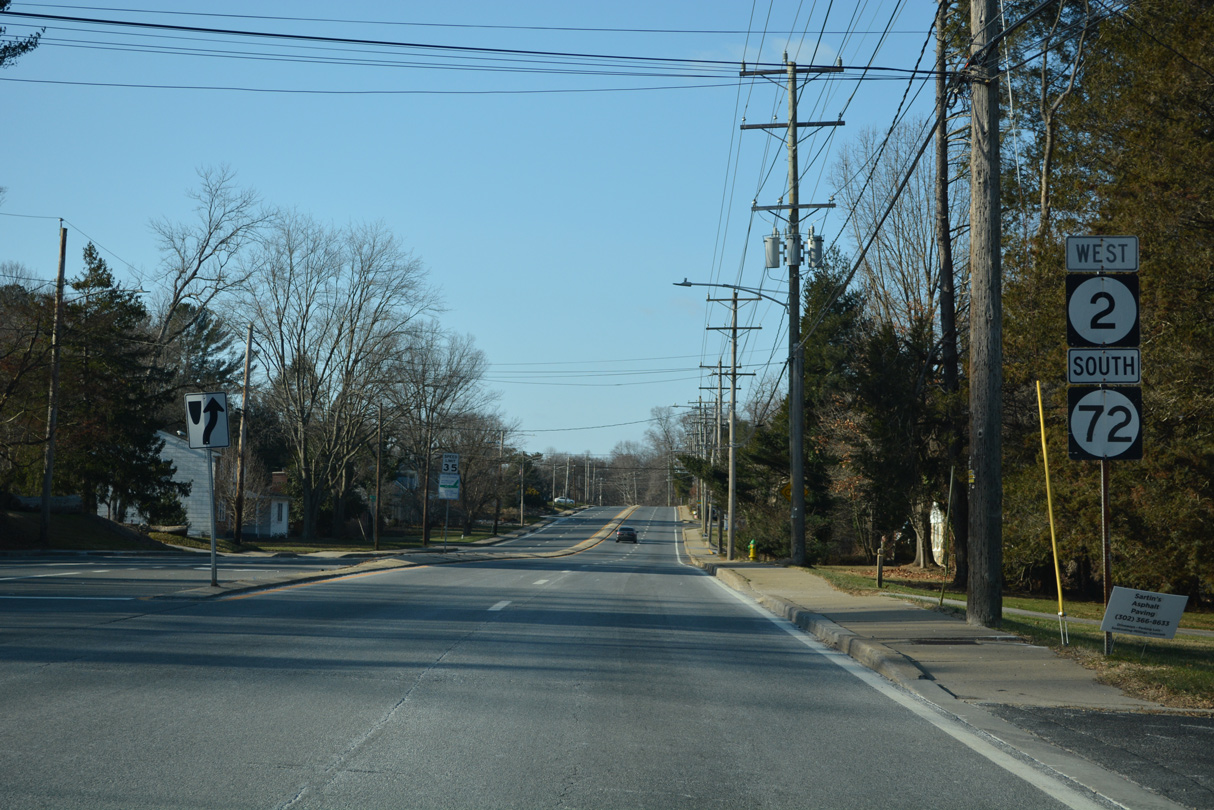
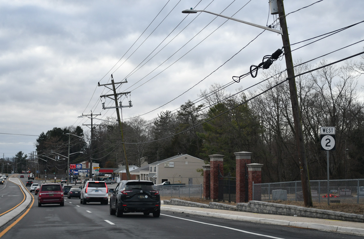
| SR 2 (Capitol Trail) westbound next combines with SR 72 south at Possum Park Road. 12/24/22 |
|
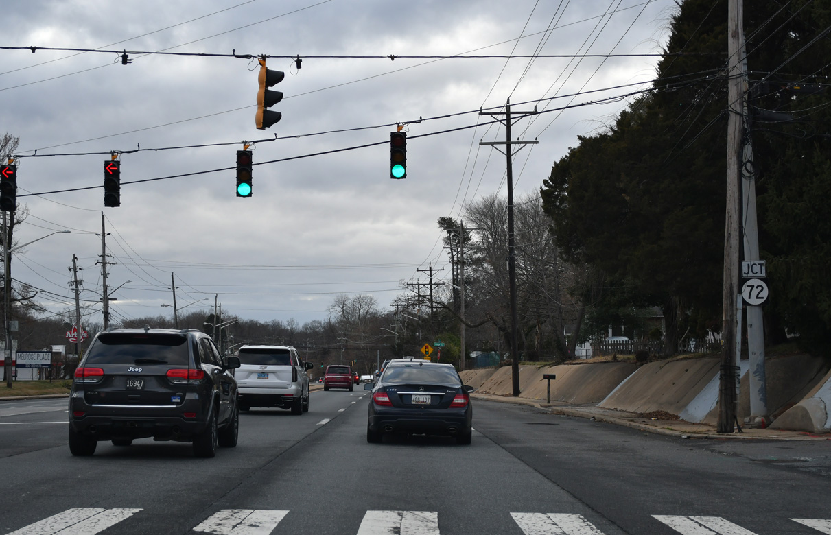
| SR 72 north follows Possum Park Road to White Clay Creek State Park and Paper Mill Road. SR 72 continues northeast to SR 7 (Limestone Road) in the Pike Creek Valley. 12/24/22 |
|
| The final 1.2 miles of SR 2 west overlaps with SR 72 into Newark. This shield assembly was removed by 2014. 06/20/12 |
|
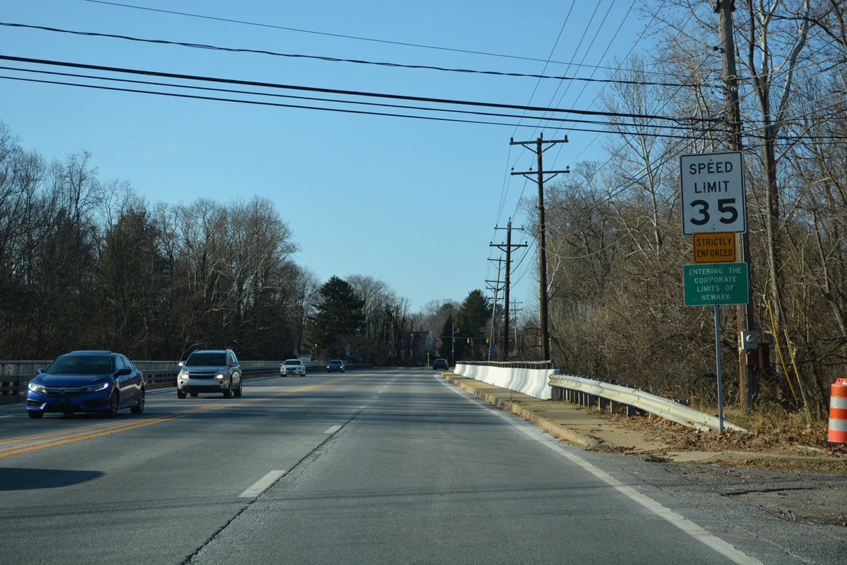
| Spanning White Clay Creek, Capitol Trail enters the Newark city limits. The speed limit reduces to 35 miles per hour. 12/24/22 |
|
| Anna Way (Road 101) links SR 2/72 (Capitol Trail) with Hawthorne Avenue and the Stafford neighborhood. The signal here also serves eastbound trucks using an adjacent turnaround to return to Newark. 12/24/22 |
|
| The final reassurance marker for SR 2 west stands at Anna Way. 12/24/22 |
|
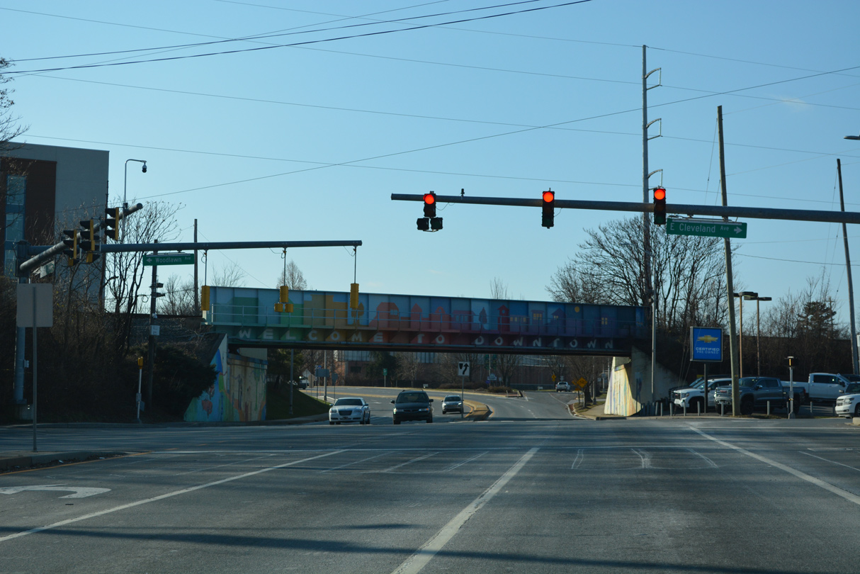
| The forthcoming intersection with Cleveland and Woodlawn Avenues was redesigned in 2015 to added sidewalks and crosswalks, and reconfigure the signals into a split phase arrangement. 12/24/22 |
|
| A trailblazer for SR 2 east directs trucks to use a turnaround at Woodlawn Avenue. 12/24/22 |
|
| A well traveled through route west across Newark, Cleveland Avenue (Road 309) leads through an auto mall to Chapel Street, and from there into a residential area on the north side of the University of Delaware (UD) to SR 896 (New London Road). 12/24/22 |
|
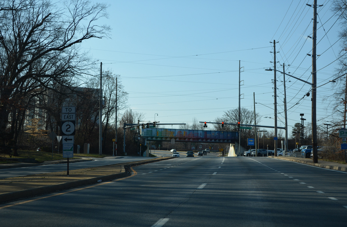
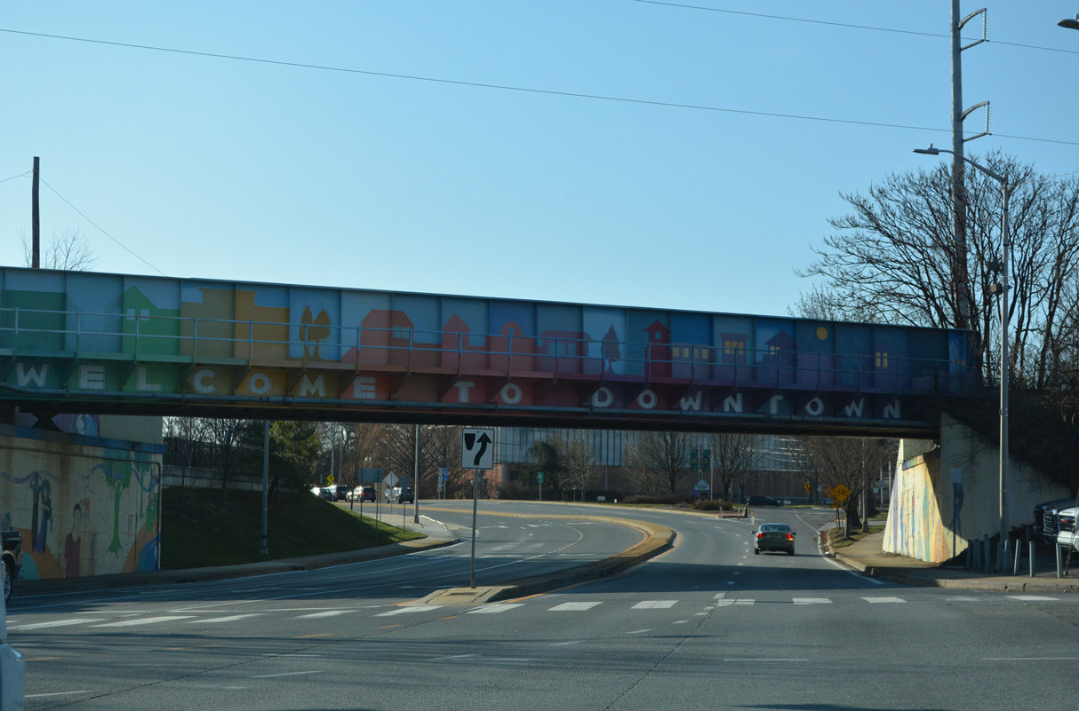
| The CSX Railroad bridge acts as a gateway into Downtown Newark with a colorful paint scheme. 12/24/22 |
|
| The ramp leading onto SR 273 west to Downtown Newark branches away from SR 2/72. SR 273 partitions into a one way couplet along Main Street west and Delaware Avenue east across the city. SR 273 extends northwest from Downtown to become MD 273 en route to Rising Sun. 12/24/22 |
|
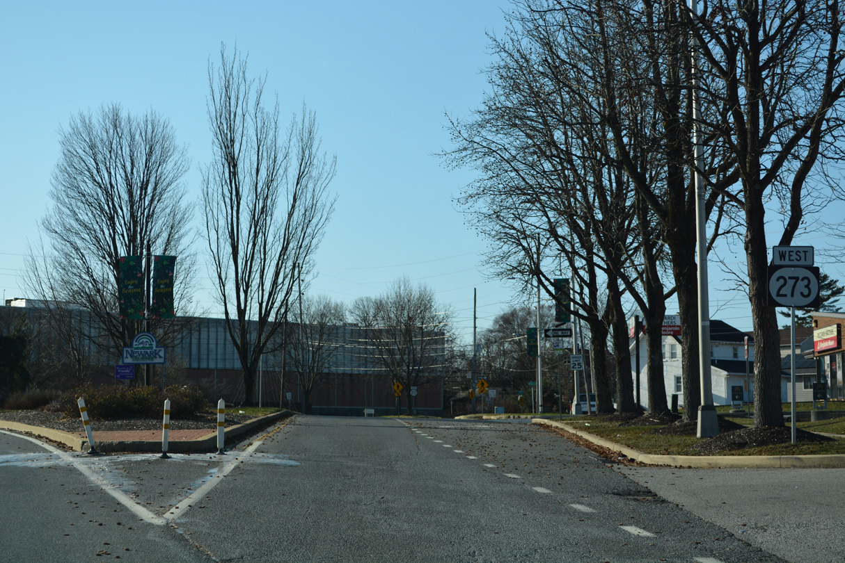
| SR 2 ends at the Capitol Trail intersection with SR 273 (E Main Street). SR 273 follows Ogletown Road east toward Christiana and New Castle. The end shield for SR 2 was added to this assembly in 2014. A replacement in 2019 removed it. 12/26/16 |
Page Updated 01-08-2023.


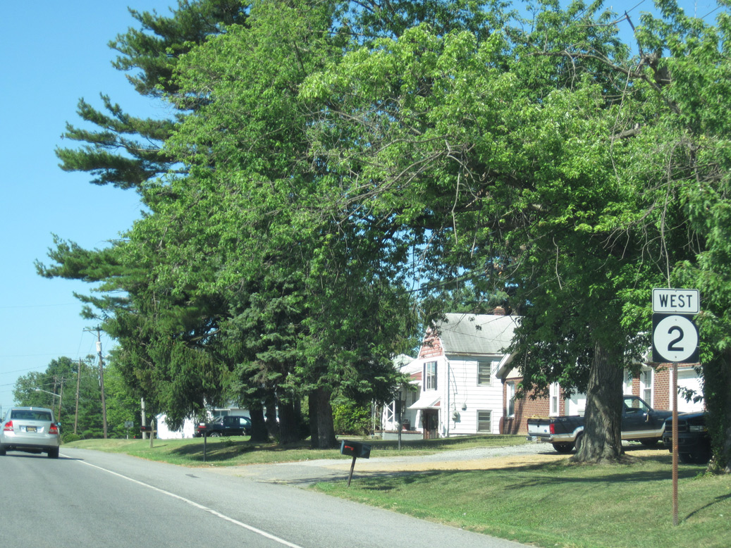
 West
West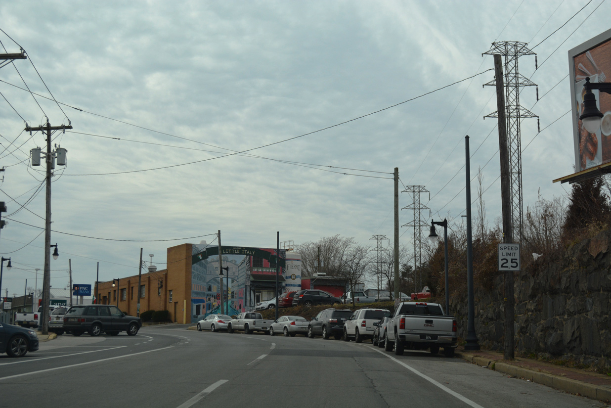


 South
South