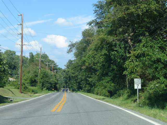
MD 7 follows the original route of U.S. 40 (Pulaski Highway) through Cecil, Harford and eastern Baltimore Counties. Within Cecil County there are multiple segments of the state route. The Maryland Department of Transportation classifies each segment with an unsigned lettered suffix.
MD 7-B originates at the entrance to Perry Point Veterans Hospital along the Susquehanna River in Perryville. Following Broad Street, this segment leads east to Principio Furnace. Principio Furnace leads the route north to U.S. 40 at Belvidere Road.
MD 7-C loops south from U.S. 40 to Charlestown along a combination of Old Philadelphia Road and Cecil Avenue. The state route extends east across North East.
MD 7-D constitutes a spur leading northwest from U.S. 40 (Pulaski Highway) to East Main Street (MD 281) east of Downtown Elkton. Prior to 2010, MD 7-D formed a full loop through Elkton. Maintenance shifted from the state to the town of Elkton, west from MD 213 to the road end along Jeffers Street, at that time. This section was reclassified as MU 400. Further changes took place by 2012, with MD 7-D inventoried as MU 400 along the remainder of West Main Street, and MU 405 along East Main Street to South Street.
Additional segments of MD 7 in Cecil County include MD 7-E, MD 7-H, MD 7-K and MD 7-L.:
- MD 7-H - 0.120 miles - spurs west from MD 7-C (Old Philadelphia Road) along an unnamed road.
- MD 7-K - 0.130 miles - designated in 2012 along Patriotic Lane east from MD 7-C.
- MD 7-L - 0.075 miles - assigned by 2016 along a short portion of old MD 7 by U.S. 40 and Little Elk Creek.
- MD 7-E - 0.090 miles - forms one leg of the wye intersection with U.S. 40 in Elkton.
| Segment |
West End |
East End |
Names |
Mileage |
| 7 |
Rosedale |
Aberdeen |
Philadelphia Road, Old Post Road |
11.51 (Baltimore), 11.32 (Harford) |
| 7-A |
Havre de Grace |
Havre de Grace |
Revolution Street, Otsego Street |
2.66 |
| 7-B |
Perryville |
east of Perryville |
Broad Street, Principio Furnace Road |
3.56 |
| 7-C |
west of Charlestown |
west of Elkton |
Old Philadelphia Road, Cecil Avenue |
9.73 |
| 7-D |
west Elkton |
east Elkton |
Main Street, Delaware Avenue |
1.45 |
Source: Maryland Department of Transportation (MDOT) - 2016 Highway Location Reference (HLR).
Maryland Route 7 - Cecil County Annual Average Daily Traffic
- Segment B
- 4,391 - west of MD 222
- 1,991 - between MD 327 and U.S. 40
- Segment C
- 2,451 - between U.S. 40 and MD 267
- 2,501 - between MD 267 and MD 272
- 4,771 - between MD 272 and U.S. 40
- Segment D
- 6,901 - between MD 279 and U.S. 40
Source: Maryland Department of Transportation (MDOT) - 2016 Traffic Volume Maps by County
|
| MD 7 begins along Broad Street from the entrance to Perry Point Veterans Hospital Avenue at Avenue A. 03/28/04 |
|
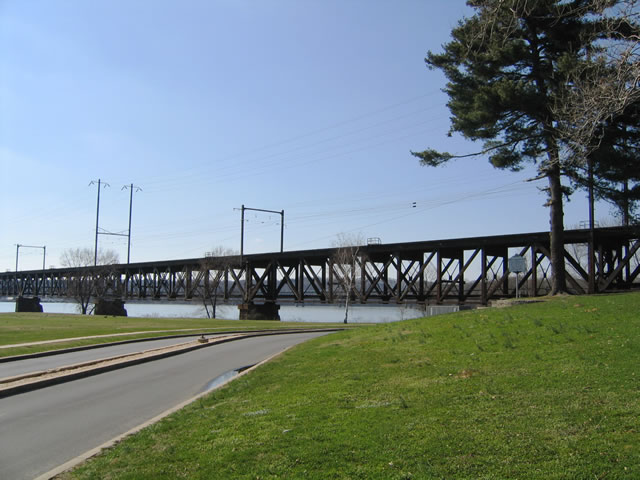
| Broad Street emerges from below the AMTRAK Northeastern Corridor bridge across the Susquehanna River ahead of Roundhouse Drive north to River Road and the Owens Landing condominium community. 03/28/04 |
|
| Broad Street eastbound passes below a pair of CSX Railroad spur overpasses beyond Suquehanna Avenue in Perryville. 03/28/04 |
|
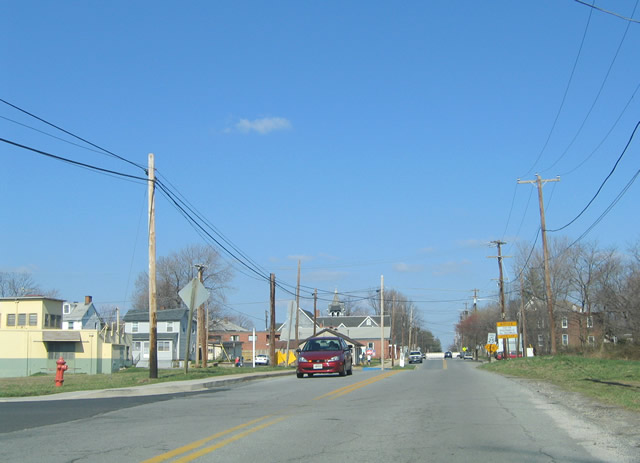
| MD 7 (Broad Street) east at the unmarked intersection with MD 222 (Aiken Avenue) in Downtown Perryville. U.S. 222 ended here until 1995, when it was truncated north to U.S. 1 at Conowingo. 03/28/04 |
|
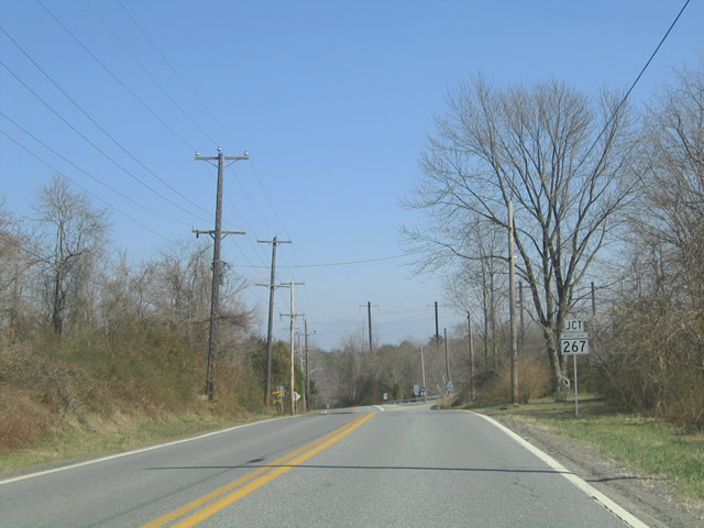
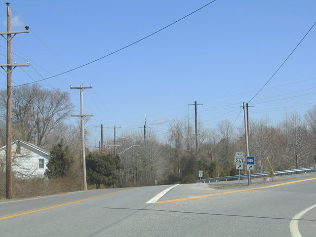
| MD 7C branches southeast from U.S. 40 (Pulaski Highway) along Old Philadelphia Road. The state route reaches the town of Charleston at MD 267 (Baltimore Street), 1.23 miles from Pulaski Highway. 03/28/04 |
|
| MD 267 (Baltimore Street) curves southward from MD 7 (Old Philadelphia Road) and crosses the AMTRAK Northeast Corridor into Charlestown. The 1.90 mile long state route follows a stair stepped course through the residential street grid along Cecil, Market and Bladen Streets. 03/28/04 |
|
| MD 267 (Bladen Street) returns to MD 7 (Old Philadelphia Road). across the AMTRAK Northeast Corridor at Relevation Road and the Trinity Woods subdivision. 07/31/04 |
|
| Removed after 2018, this reassurance shield was posted on Old Philadelphia Road beyond Red Toad Road. Red Toad Road links MD 7 with U.S. 40 midway between Charlestown and North East. 07/31/04 |
|
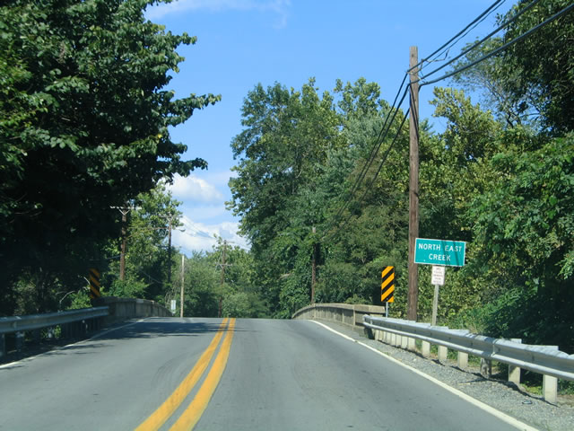
| Continuing into the town of North East, MD 7 (Cecil Avenue) spans North East Cross over a concrete arch bridge dating from 1921. 07/31/04 |
|
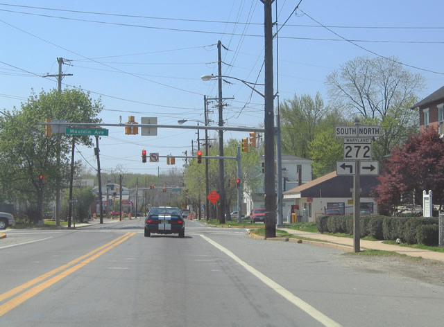
| Mast-arm traffic lights operate at the intersection of MD 7 (Cecil Avenue) and MD 272 (Main Street) south in North East. An array of locally owned restaurants, antique stores and gift shops line Main Street within Downtown North East. 03/28/04 |
|
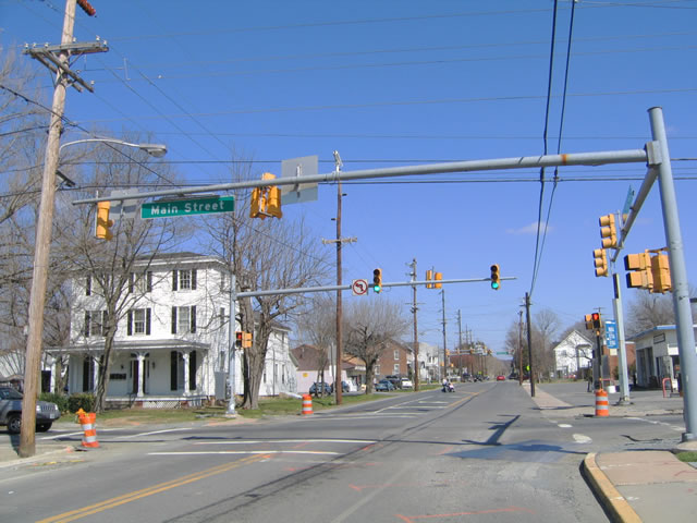
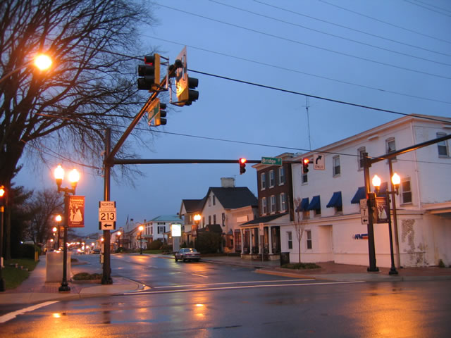
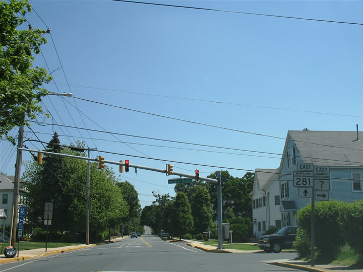
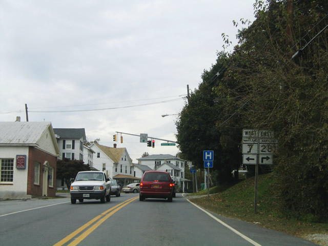
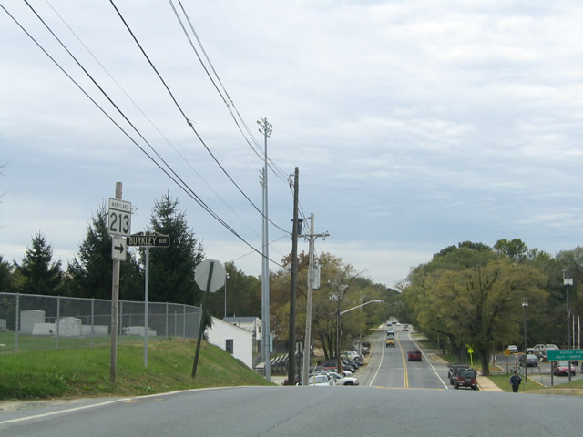
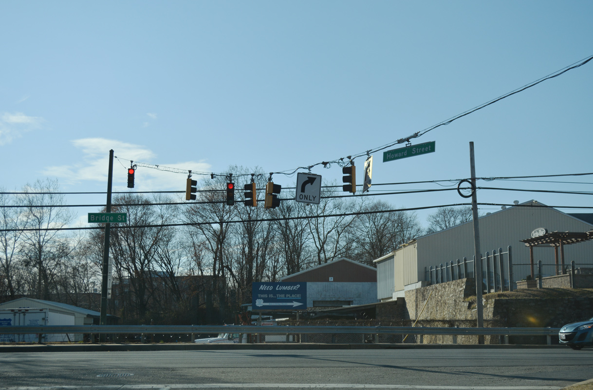
| Main Street (old MD 7) east at MD 213 (Bridge Street) and Downtown Elkton. Prior to 2010, MD 7 separated onto a couplet with eastbound using Main Street and westbound following Howard Avenue and a one block overlap with MD 213. 04/13/04 |
|
| With the turn back of MD 7 from Main Street in Elkton, shields for MD 213 were removed from the intersection with Bridge Street. The north-south route otherwise bisects Elkton between MD 279 (Newark Avenue) and U.S. 40 (Pulaski Highway). 04/13/04 |
|
| Former confirming marker for MD 7 east posted beyond Bridge Street along Main Street. 04/13/04 |
|
| Main Street flows east with two lanes to Bow Street. A streetscaping project in 2004 added brick sidewalks and decorative light posts through Downtown Elkton. 12/26/17 |
|
| A lane drop occurs on Main Street east at Bow Street. Bow Street heads one block south to Howard Street (old MD 7 west) and north to Union Hospital of Cecil County. 12/26/17 |
|
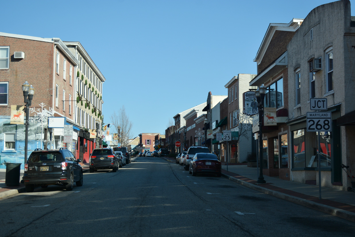
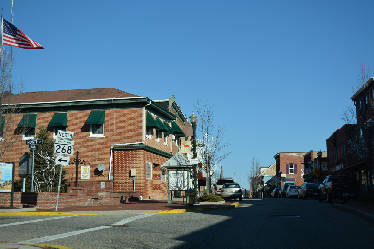
| The succeeding intersection along Main Street (old MD 7) is with MD 268 (North Street) north. 12/26/17 |
|
| MD 268 follows North Street from Main Street to connect Downtown Elkton with MD 279 (Newark Avenue). The state route spans the AMTRAK Northeast Corridor between Stockton Street and Maple Avenue. 12/26/17 |
|
| MD 7 (Delaware Avenue) intersects Howard Street, the former westbound direction of MD 7, at the ensuing stop sign south of MD 281 (Main Street). 12/26/17 |
|
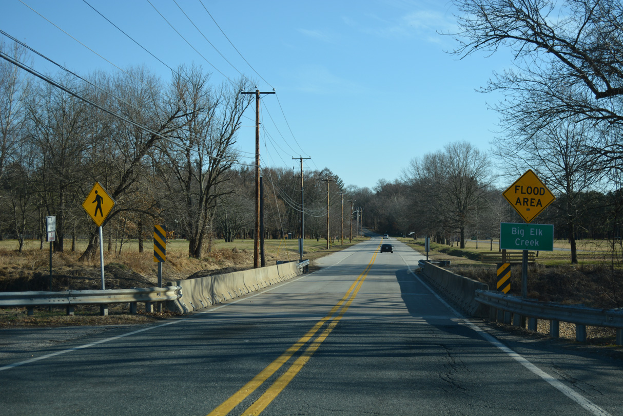
| State maintenance commences along Main Street east from South Street. MD 7 then turns south onto Delaware Avenue at MD 281, which extends Main Street eastward across Big Elk Creek. Following Red Hill Road, MD 281 ascends Grays Hill toward MD 781 (Delancy Road) and Old Baltimore Pike to Iron Hill, Delaware. 05/21/07 |
|
| Delaware Avenue next crosses Big Elk Creek to Meadow Park. 12/26/17 |
|
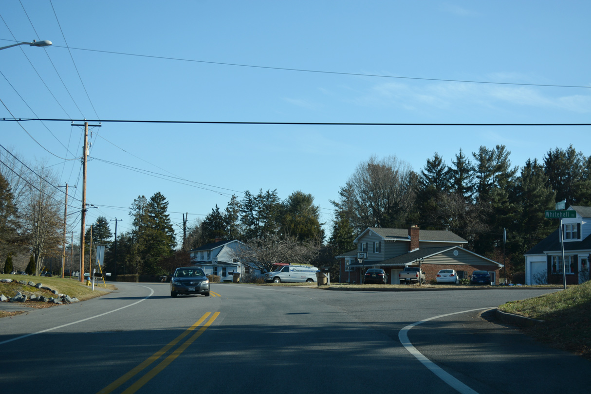
| Whitehall Road angles southwest through the Heritage Woods neighborhood to connect MD 7 (Delaware Avenue) with U.S. 40 (Pulaski Highway) west and MD 213 (Augustin Herman Highway) south. 12/26/17 |
|
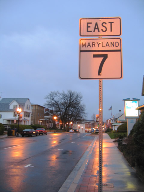
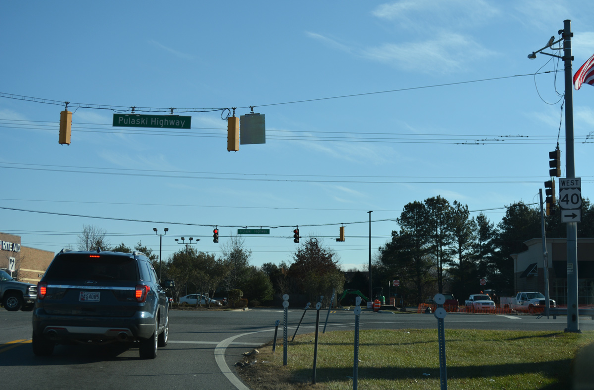
| MD 7 (Delaware Avenue) east converges with U.S. 40 (Pulaski Highway) beyond the Thomson Estates neighborhood. U.S. 40 constitutes the main commercial arterial across Elkton. 12/26/17 |
|
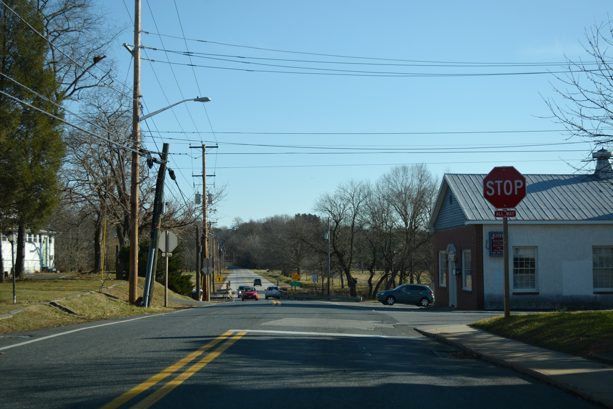
| The wye intersection with U.S. 40 (Pulaski Highway) lies adjacent to Village of Elkton Shopping Center. The leg from Pulaski Highway west to Delaware Avenue is inventoried as MD 7E. 12/26/17 |
|
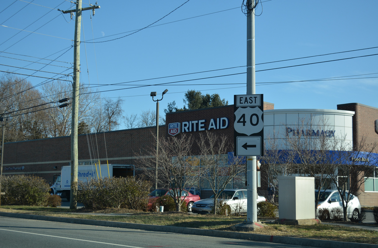
| Pulaski Highway runs east along a retail strip from MD 7 to the Delaware state line ahead of Glasgow. 12/26/17 |
|
| The first MD 7 shield posted on Delaware Avenue westbound appeared by Elkton Shopping Center. 04/24/04 |
|
| Delaware Avenue bends northwest toward Downtown Elkton through residential areas. 12/26/17 |
|
| A one piece shield marker for MD 7 west stands beyond Whitehall Road. White Hall Road ties into Delaware Avenue northeast from MD 213 and U.S. 40 (Pulaski Highway). 12/15/17 |
|
| MD 7 advances north through Meadow Park and across Big Elk Creek. 12/15/17 |
|
| MD 7 formerly turned west from Delaware Avenue onto Howard Street as part of a couplet through Downtown Elkton. 10/13/04 |
|
| Delaware Avenue extends north one block from the stop sign at Howard Street to MD 281 (Main Street). 12/15/17 |
|
| MD 281 extends east from Main Street along Red Hill Road to connect Elkton with Iron Hill in Delaware. 12/15/17 |
|
| Howard Street (old MD 7) west at South Street and Elkton Cemetery. South Street intersects East Main Street at the eastbound beginning of MD 7D nearby. 10/13/04 |
|
| A trailblazer remains for MD 213 at South and Howard Streets. 12/15/17 |
|
| Advancing west from South Street, MD 7 formerly merged with MD 213 (Bridge Street) north for one block to West Main Street. 12/26/17 |
|
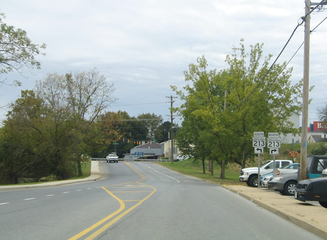
| MD 213 replaced U.S. 213 from Main Street southward to Wye Mills. The route north of U.S. 40 was once a part of MD 280 as well. 10/13/04 |
|
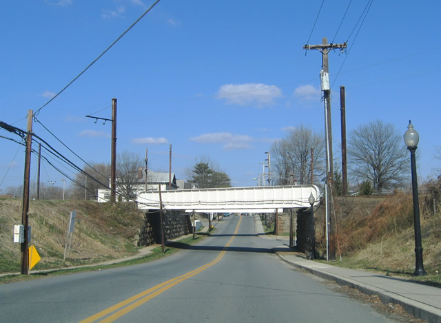
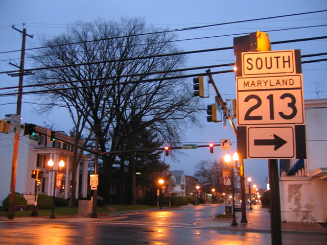
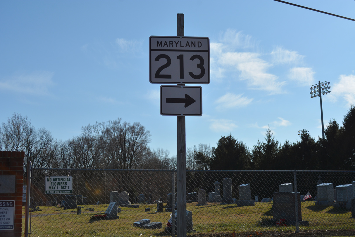
| MD 213 (Bridge Street) lines the west side of Downtown Elkton north from U.S. 40 (Pulaski Highway) to MD 279 (Newark Avenue). The adjacent bridge over Big Elk Creek was built in 1999. 12/26/17 |
|
| MD 7 extended west along Main Street for three blocks between Bridge Street and Landing Lane. There the two directions again separated to connect with U.S. 40 (Pulaski Highway). 04/13/04 |
|
| Main Street (former MD 7) west at Landing Lane and Blue Ball Avenue. Blue Ball Avenue links Main Street with High Street. Landing Lane (old MD 7 east) travels two blocks south to U.S. 40 (Pulaski Highway). 10/13/04 |
|
| MD 7 continued west along Main Street to Jeffers Street. The state route turned southward onto Jeffers Street to rejoin U.S. 40 while Main Street dead ended at the AMTRAK Northeast Corridor nearby. 10/13/04 |
|
| Jeffers Street (former MD 7) south at U.S. 40 (Pulaski Highway). 10/13/04 |
|
| Westbound MD 7 (Cecil Avenue) at MD 272 (Mauldin Avenue) north in Downtown North East. MD 272 links North East with U.S. 40 (Pulaski Highway) and Interstate 95 to the north. 04/24/04 |
|
| MD 272 southbound follows Main Street one block west of Mauldin Avenue. The state route extends 11.60 miles south to the entrance of Elk Neck State Park near Turkey Point. 03/28/04 |
|
| Continuing west from Main Street and Downtown Northeast, MD 7 (Cecil Avenue) crosses North East Creek and the AMTRAK Northeast Corridor. 03/28/04 |
|
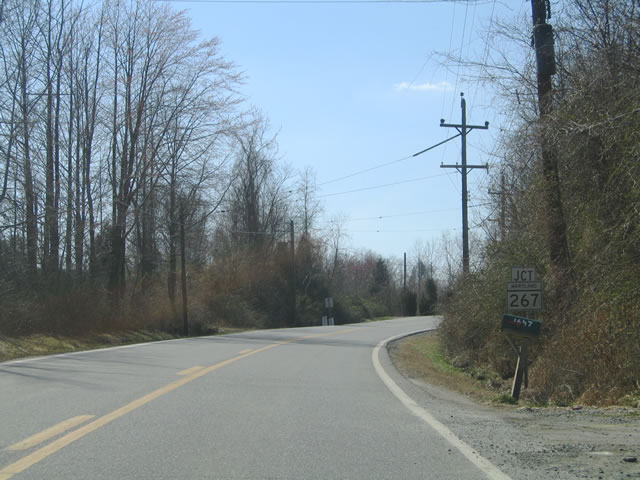
| MD 7 travels 2.1 miles west from North East Creek to the east end of MD 267. MD 267 (Bladen Street) loops south from Old Philadelphia Road through Charlestown. 03/28/04 |
|
| MD 7 (Old Philadelphia Road) runs directly alongside the AMTRAK Northeast Corridor to the return of MD 267 (Baltimore Street) from Charlestown. 03/28/04 |
|
| Old Philadelphia Road turns northward from MD 267 (Baltimore Street) 1.23 miles to U.S. 40 (Pulaski Highway). 03/28/04 |
|
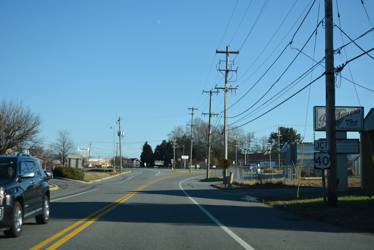
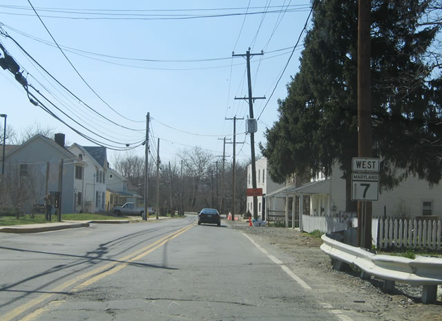
| MD 7 (Old Philadelphia Road) westbound concludes at U.S. 40 (Pulaski Highway) across from Old Belvidere Road. MD 7B (Principio Furnace Road) separates from U.S. 40, 0.4 miles to the west. 03/28/04 |
|
| MD 7 shifts from Principio Furnace Road to Broad Street at Coudon Boulevard in east Perry. 03/28/04 |
|
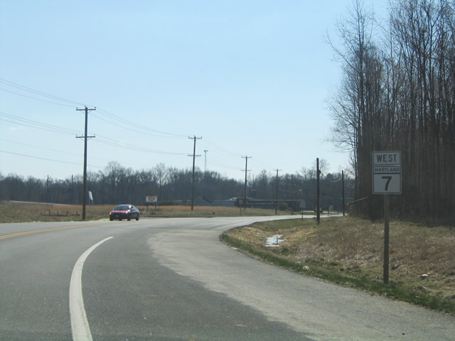
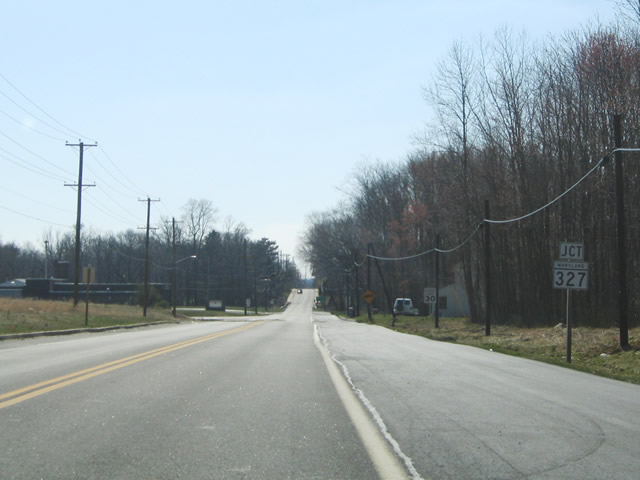
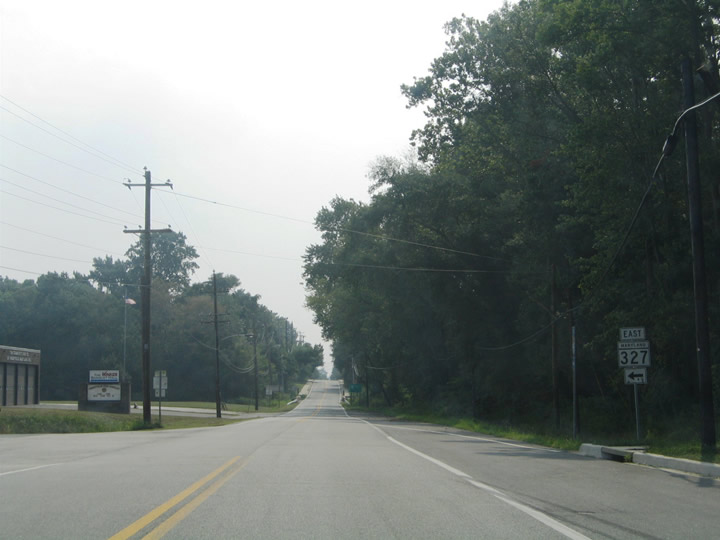
| MD 7 intersects MD 327 (IKEA Way) south just after the turn on Broad Street. 03/28/04 |
|
| A 0,36 mile spur, MD 327 spans AMTRAK's Northeast Corridor to Marion Tapp Parkway and an IKEA distribution center. Marion Tapp Parkway winds southward to Perryville Park on Chesapeake Bay. 08/11/05 |
|
| Heading west from MD 222 (Aiken Avenue), MD 7 (Broad Street) passes below a pair of CSX Railroad lines at the Perryville MARC Station. The MARC Penn Line provides regional rail service between Cecil County and Baltimore. 08/11/05 |
|
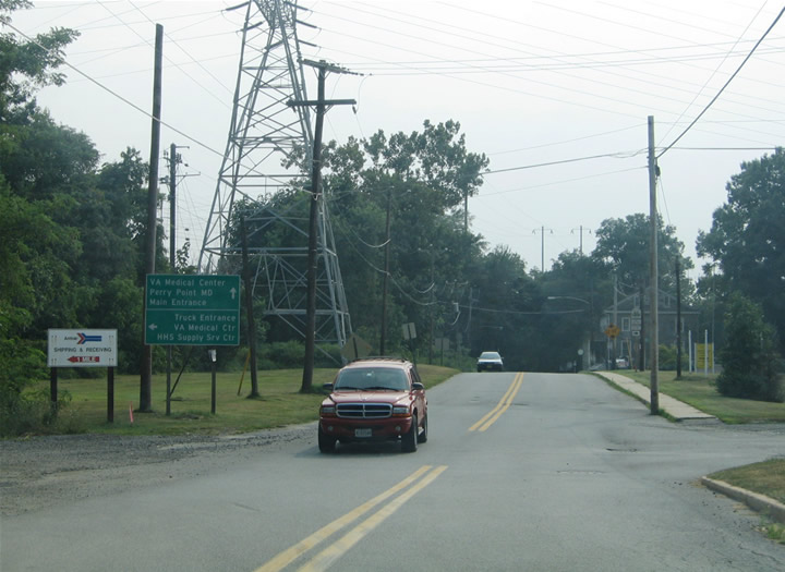
| MD 7 westbound at Front Street and the truck entrance for Perry Point VA Hospital. Broad Street extends another 0.13 miles to Avenue A and Perry Point VA Hospital. 08/11/05 |
|
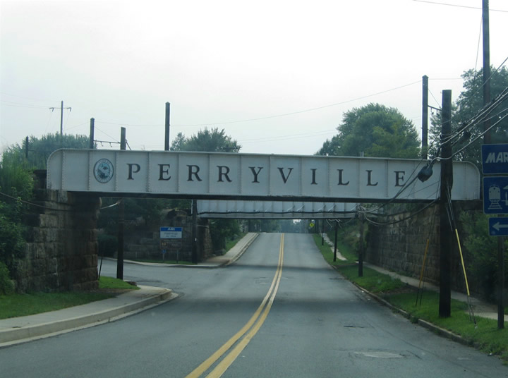
| MD 7 (Broad Street) intersects Roundhouse Drive ahead of the AMTRAK bridge spanning the Susquehanna River. Leading north to Frenchtown Road, Roundhouse Drive is part of the Susquehanna River Scenic Drive. 03/28/04 |
|
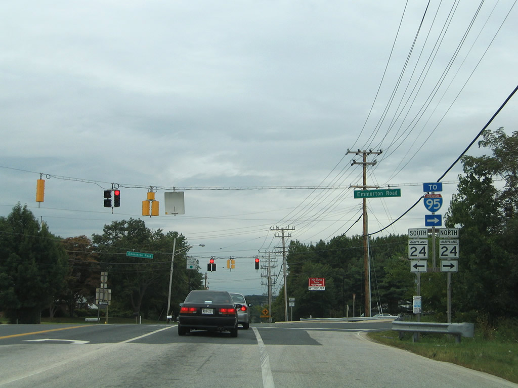
| MD 7 (Philadelphia Road) exits an industrial park area and intersects MD 24 (Emmorton Road) at Van Bibber. MD 24 leads south to U.S. 40 (Pulaski Highway) and Aberdeen Proving Ground and north to Interstate 95 and Bel Air. 08/27/05 |
Photo Credits:03/28/04, 04/13/04, 04/24/04, 07/31/04, 10/13/04, 08/11/05, 08/27/05, 05/21/07, 12/15/17, 12/26/17 by AARoads
Connect with:
U.S. 40
Route 43 - Whitemarsh Boulevard
Route 213
Route 222
Route 267
Route 268
Route 272
Page Updated 12-12-2018.

 Segment B - East