|
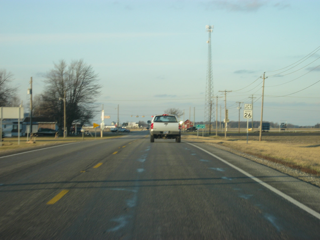
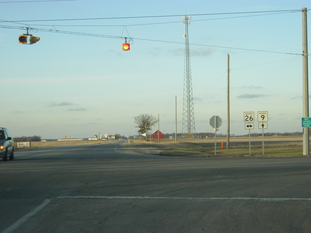
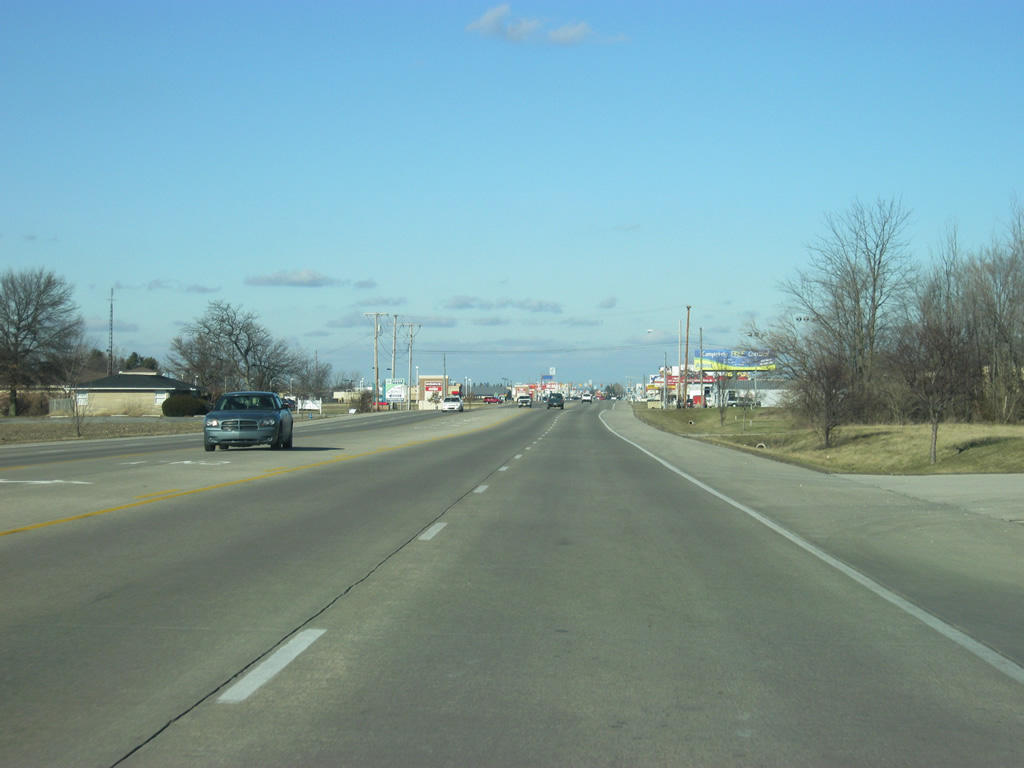
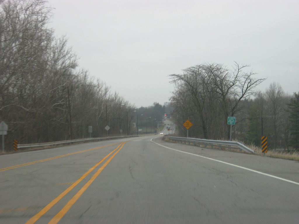
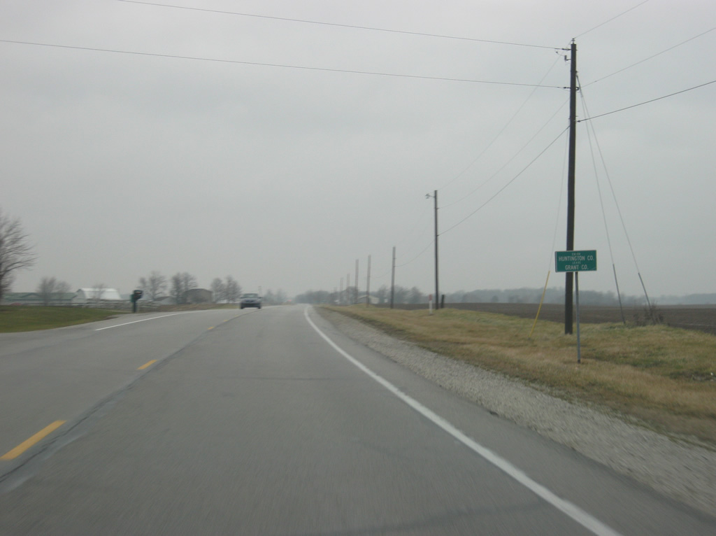
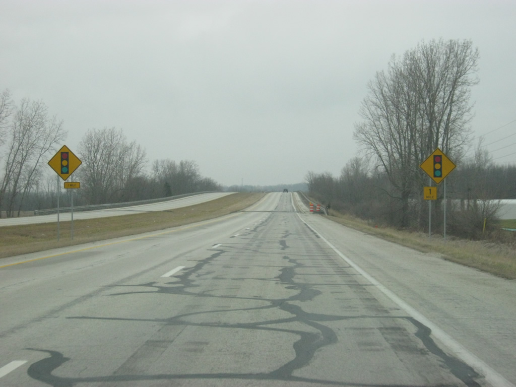
| Three miles north of the county line, SR 9 approaches the intersection with SR 26. SR 26 goes for 150 miles across the state from the Illinois state line east through Lafayette, Rossville, Fairmount, Upland and Portland before crossing into Ohio near Fort Recovery. 03/19/11 |
|
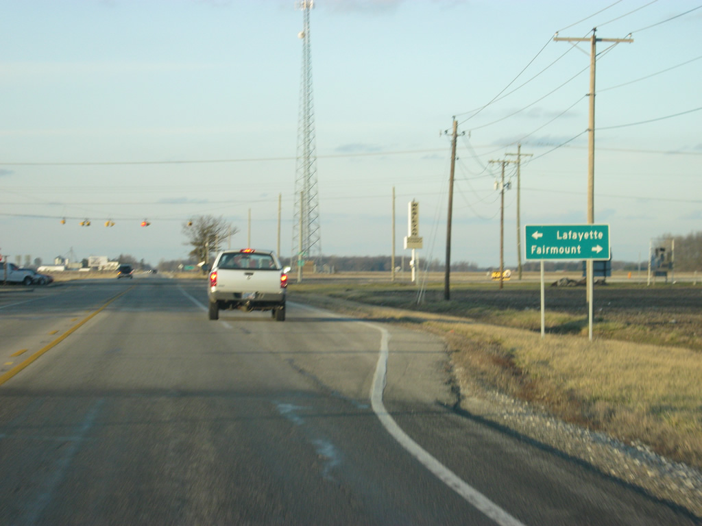
| Due to a lack of decent-sized cities, Lafayette is signed despite being about 70 miles from here. Fairmount, best known as the home of Garfield creator Jim Davis and Movie star James Dean, is only a mile to the east. 03/19/11 |
|
| A four-way stop marks the intersection between SR 9 and SR 26. 03/19/11 |
|
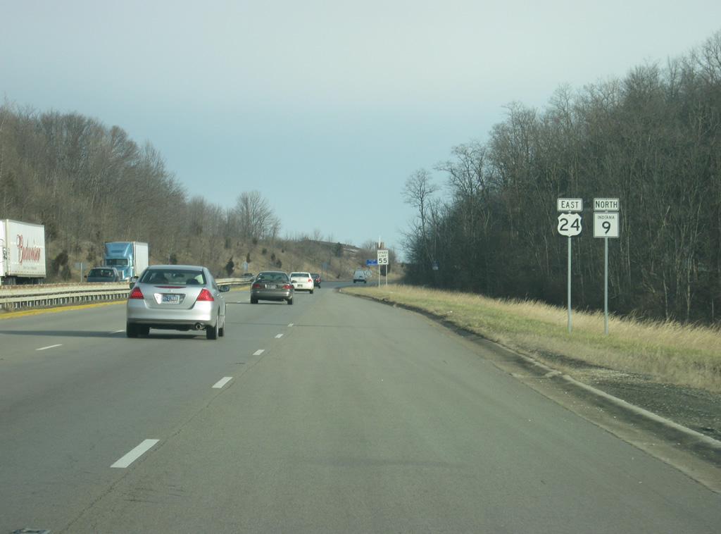
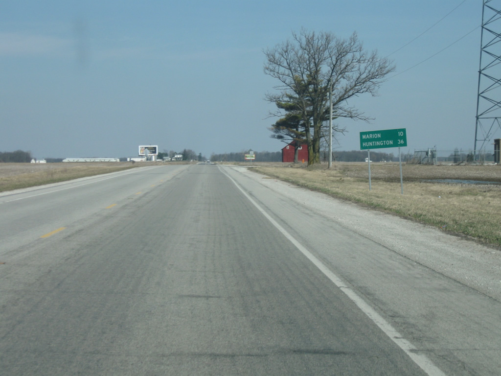
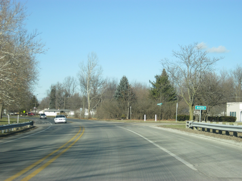
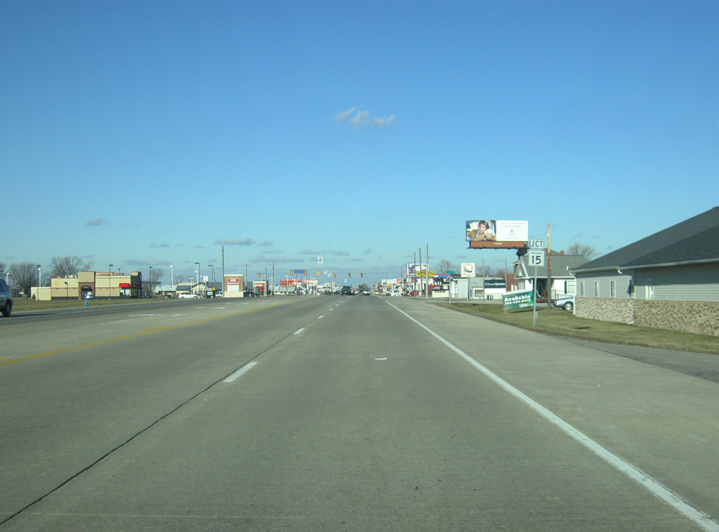
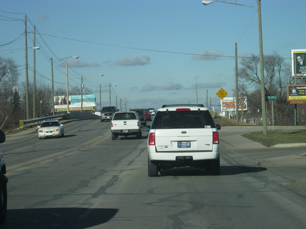
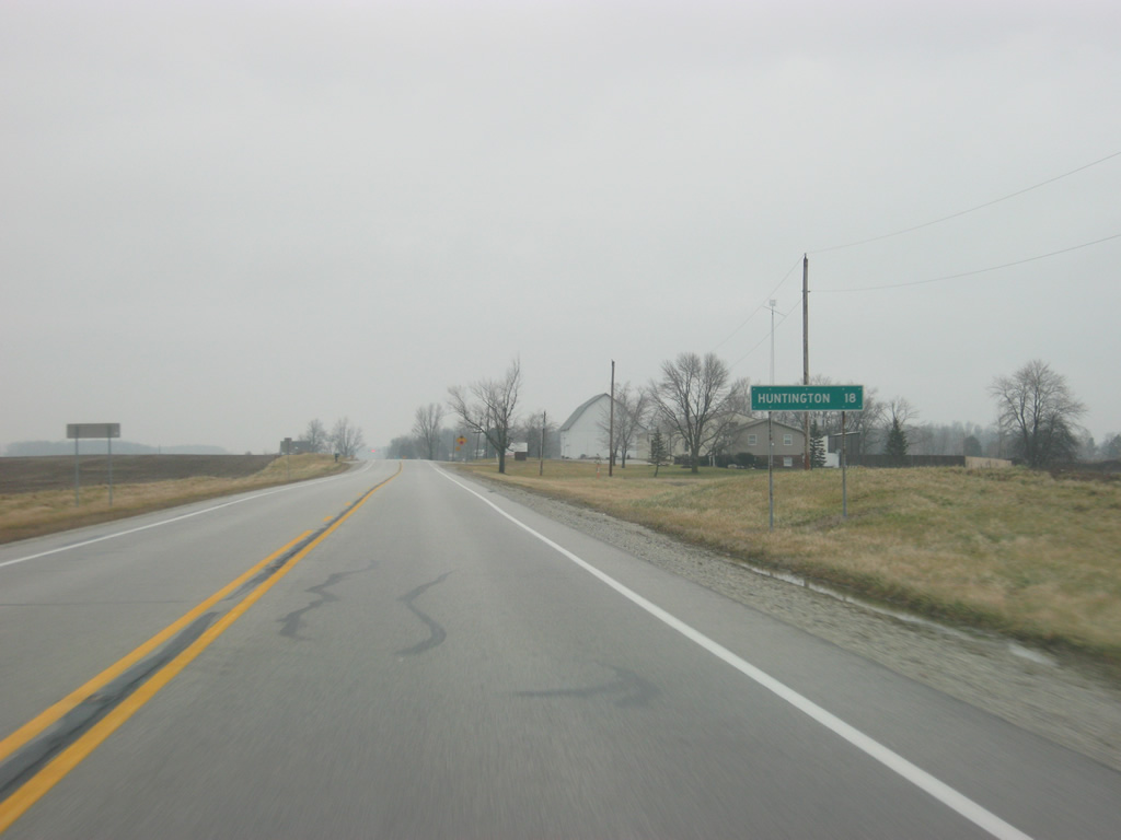
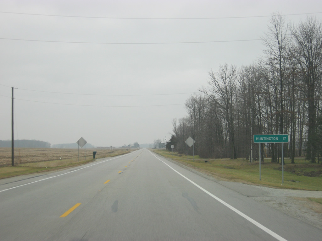
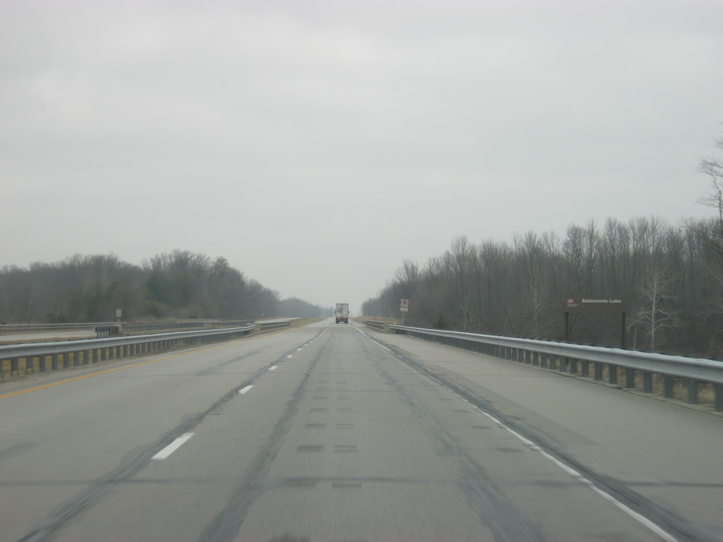
| North of the intersection with SR 26, SR 9 is eight miles away from Marion and 36 miles from Huntington. 03/18/10 |
|
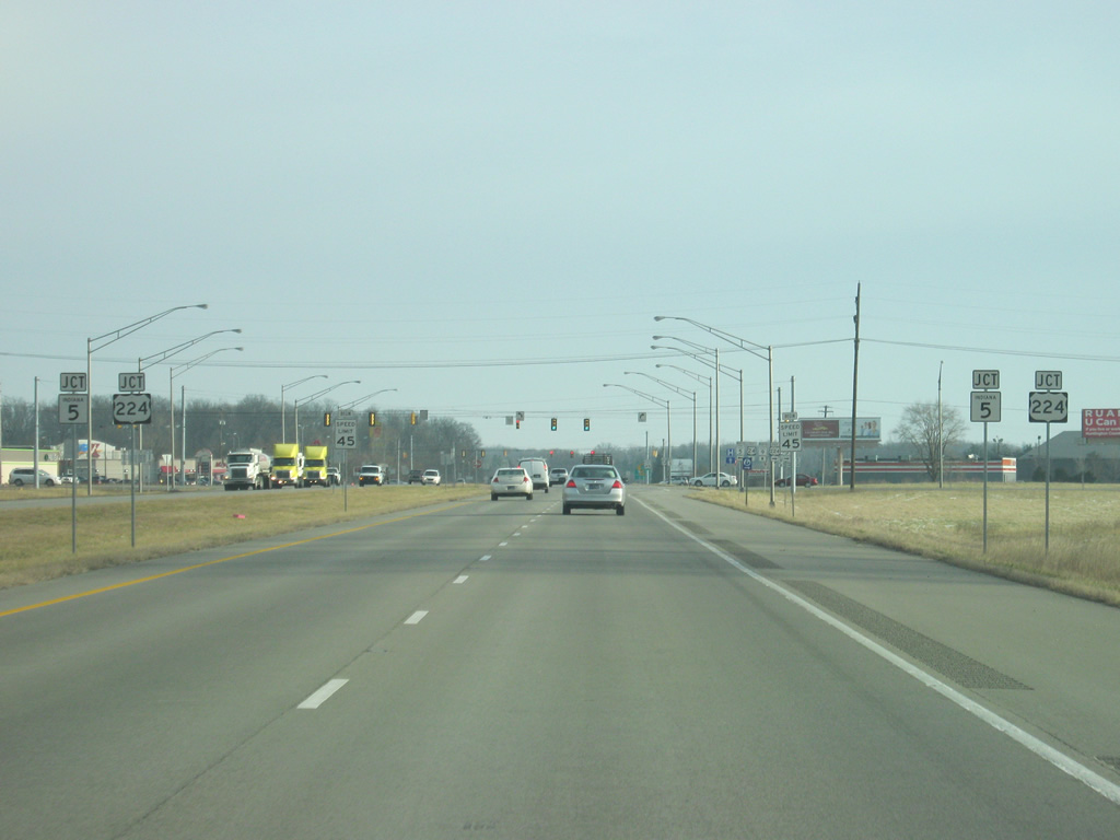
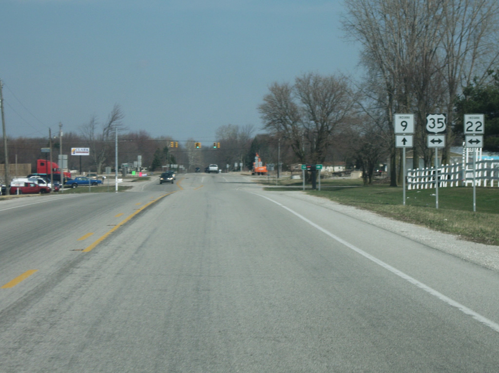
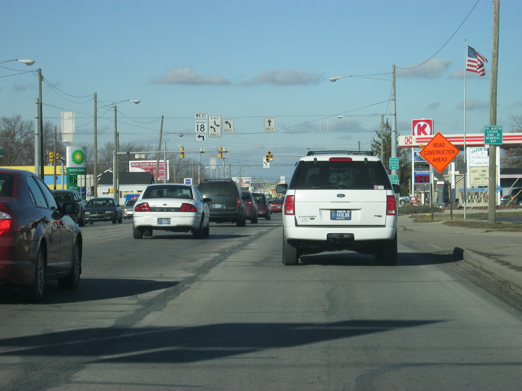
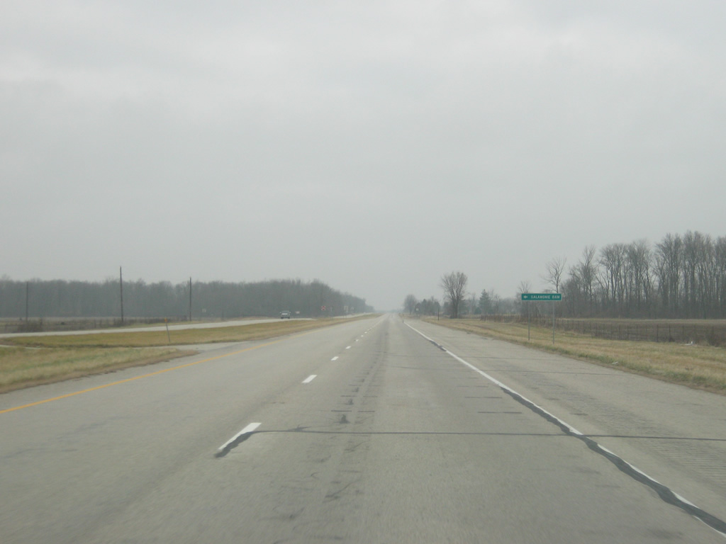
| A view of SR 9 approaching the next intersection with U.S. 35/SR 22 in Grant County. 03/18/10 |
|
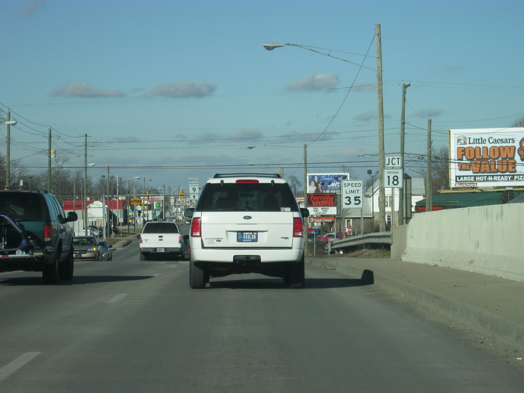
| SR 9 now approaches the intersection with U.S. 35/SR 22. U.S. 35 goes for 210 miles across the Hoosier State from U.S. 20 in Michigan City, southeast through LaPorte, Logansport, Kokomo, Muncie and Richmond, and in totality travels for 412 miles southeast through Ohio to Interstate 64 in West Virginia. SR 22 goes for 50.6 miles from SR 29 in Burlington to SR 26 in Upland, multiplexing with U.S. 35 for the majority of its route. Gas City is a couple of miles to the east while Kokomo is about 25 miles to the west. 03/18/10 |
|
| A couple of miles north of U.S. 35/SR 22, SR 9 enters the city of Marion (population 29,948). Marion is the county seat for Grant County and is an older industrial city similar to Anderson. The city is also the home to Indiana Wesleyan University. 03/05/11 |
|
| A view of SR 9 as it makes its way up the far southwest side of Marion. SR 9 will bypass the city to the west. 03/05/11 |
|
| Now approaching the intersection with SR 9 and SR 37 south/Washington Street. SR 37 exists in two segments; the first going for 15 miles goes from Interstate 469 in Fort Wayne north to the Ohio border. The second segment goes from 218 miles from SR 9 to the southwest to Elwood, Noblesville, Indianapolis, Martinsville, Bloomington, Bedford, Paoli and English before ending in Tell City on the Ohio River. 03/05/11 |
|
| Entering the intersection with SR 37 south/Washington Street. Washington Street heads to the northeast as it provides a link to Downtown Marion, carrying the original routing of SR 9 and SR 37 through Marion. Today, SR 37 ends at this stoplight while SR 9 continues north along the Marion Bypass. 03/05/11 |
|
| SR 9 expands to four lanes as it begins its bypass of the city of Marion. As with Anderson and nearby Kokomo, the Marion Bypass was once a route to bypass the city's downtown that was out in the country. But development has reached the bypass and it is the city's busiest route today. The road remains four lanes across Marion with several stoplights along its route. The bypass is also known as the Martin Luther King, Jr. Way, but the Marion Bypass name is the more used one. Additionally the road takes on the name of Western Avenue and Baldwin Avenue at various locations. 03/05/11 |
|
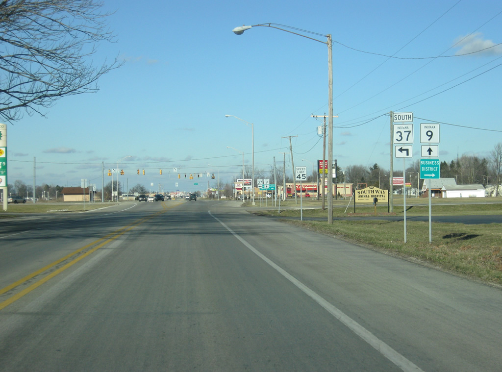
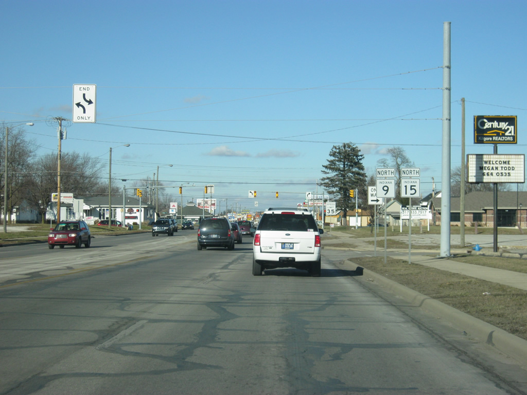
| SR 9 approaches the junction with SR 15 south (38th Street). SR 15 travels for 95 miles from Jonesboro at U.S. 35/SR 22 north through Marion, Wabash, Warsaw and Goshen before ending at the Michigan border. 03/05/11 |
|
| Now at the stoplight with SR 15 south (38th Street). SR 15 once traveled across Marion in a southeast to northwest direction, but it too has been rerouted to the Marion Bypass, where it multiplexes with SR 9 for a couple of miles. 03/05/11 |
|
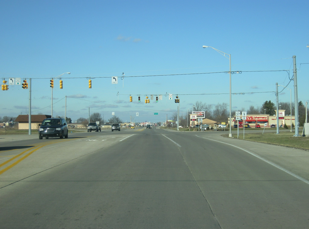
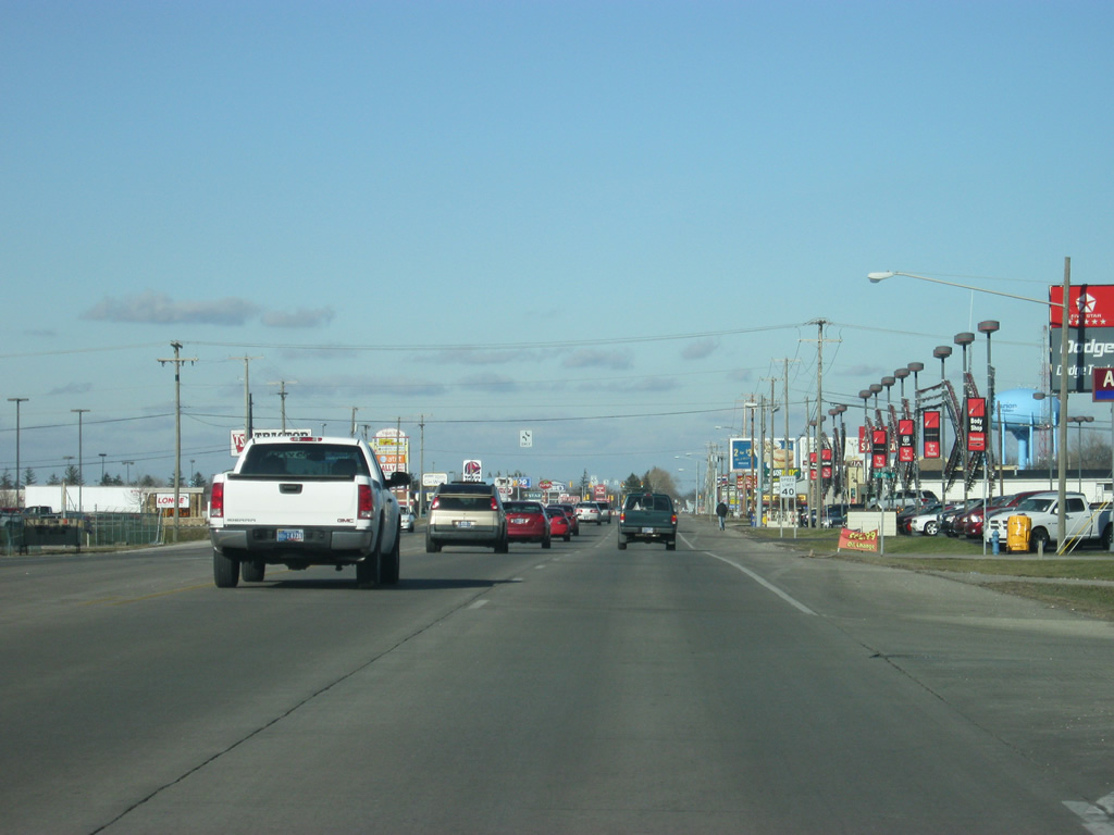
| SR 9 and SR 15 multiplex along the Marion Bypass (Western Avenue/Baldwin Avenue) as a variety of retail businesses abut the highways. The Marion Bypass is easily the busiest road in Marion and can be slow going for traffic at certain times. 03/05/11 |
|
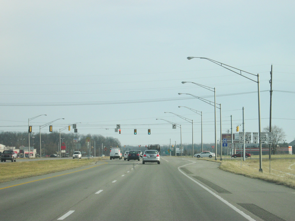
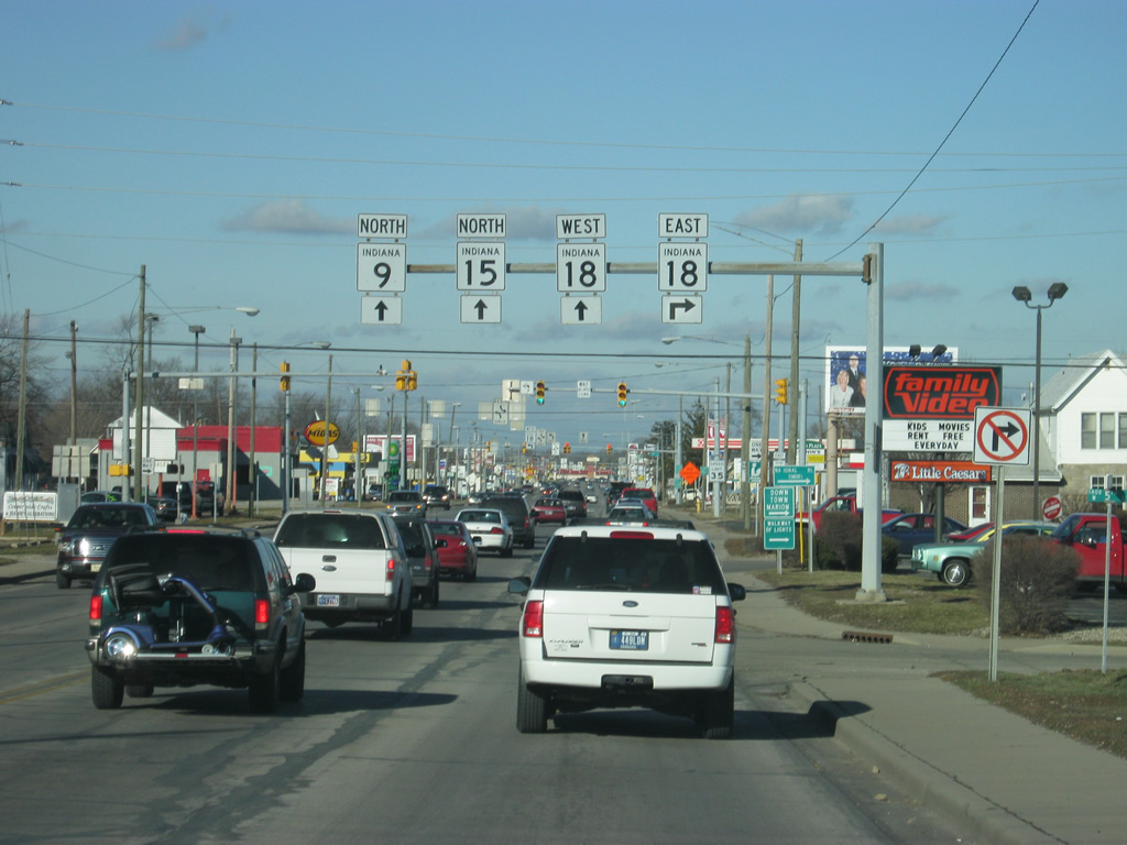
| SR 9 & 15 (Marion Bypass/Baldwin Avenue) approach the intersection with SR 18 East (4th Street). Through Marion, SR 18 follows a pair of two-way streets with 4th Street carrying the eastbound traffic and 3rd Street/Delphi Avenue/2nd Street carrying the highway westbound. SR 18 goes for 141 miles from the Illinois border to U.S. 27 in Bryant. The highway goes through Fowler, Delphi, Galveston, Converse, Marion and Montpelier along its route. 03/05/11 |
|
| Now at the intersection of SR 9/SR 15 (Marion Bypass/Baldwin Avenue) and SR 18 east (4th Street). Downtown Marion is a mile away to the east, and Interstate 69 is just under eight miles from here. 03/05/11 |
|
| The next stoplight is for SR 18 west, which follows 2nd Street toward the town of Sweester. 03/05/11 |
|
| Reassurance shields for both SR 15 and SR 9 north of the intersection with SR 18 west (2nd Street). 03/05/11 |
|
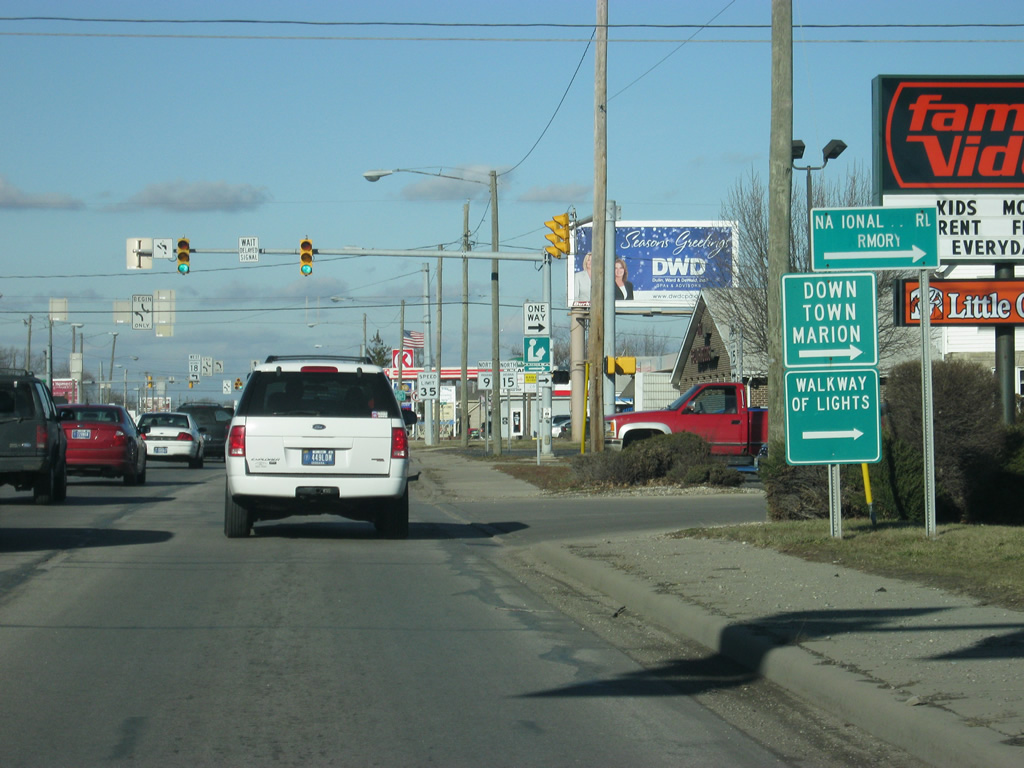
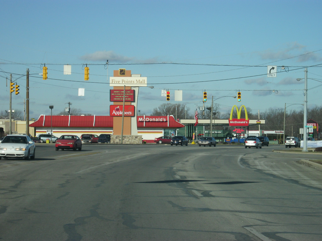
| North of SR 18, SR 9/SR 15 (Marion Bypass/Baldwin Avenue) continues north toward the Five Points Mall (formerly North Park Mall), which is the main shopping center for the Marion and Grant County area. 03/05/11 |
|
| Now at the intersection of SR 9 & 15 (Marion Bypass/Baldwin Avenue) and Kem Road. Just past this stoplight is the intersection with Wabash Avenue, where SR 15 will split to the north toward Wabash, Warsaw and Goshen. 03/05/11 |
|
| North of the intersection with SR 15 north/Wabash Avenue, SR 9 (Marion Bypass/Baldwin Avenue) remains a four lane highway as it bypasses the north side of Marion. At this point, the highway is going in a northeastern direction. 12/27/10 |
|
| Approaching the crossing over the Mississinewa River, SR 9 reduces to two lanes. 12/27/10 |
|
| On the other side of the Mississinewa River, SR 9 crosses the Norfolk Southern railroad track (the same one from Alexandria). Beyond here, SR 9 leaves the Marion area and heads northeast toward Huntington. 12/27/10 |
|
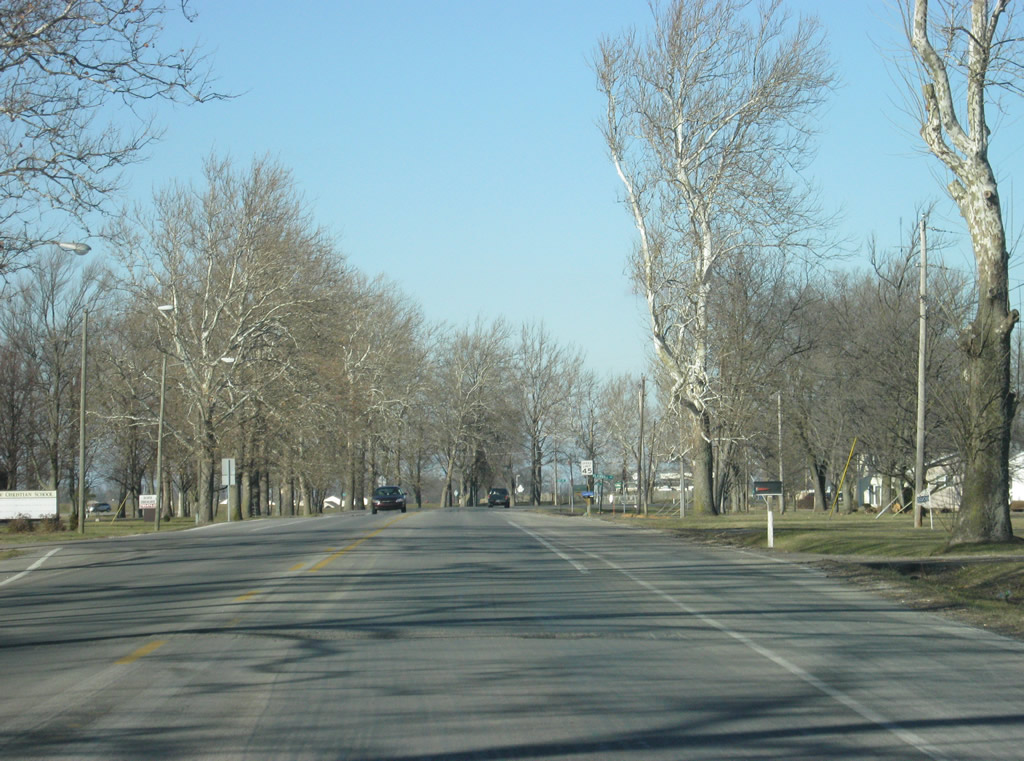
| North of Marion, SR 9 is a quiet two lane highway that heads northeast toward the Grant-Huntington County line. Since Anderson, SR 9 has been bypassed by Interstate 69 toward Fort Wayne. Whereas before the interstate, most people in Marion took SR 9 toward Huntington to U.S. 24 to Fort Wayne, today they simply use Interstate 69. 12/27/10 |
|
| SR 9 enters Huntington County (37,124). 12/27/10 |
|
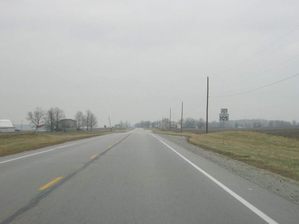
| Upon entering Huntington County, SR 9 approaches the intersection with SR 105 north. 12/27/10 |
|
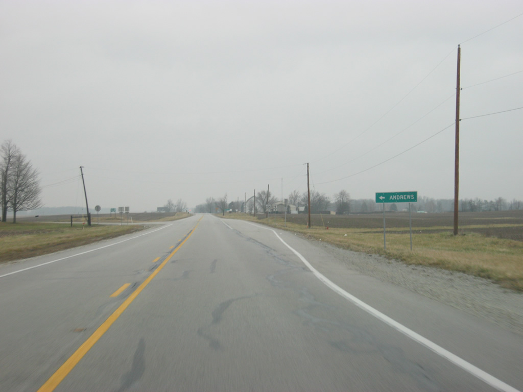
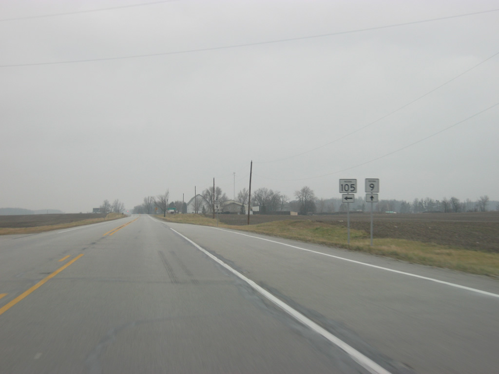
| SR 105 runs for 32 miles from SR 9 north through the town of Andrews to the town of South Whitley and SR 5. 12/27/10 |
|
| SR 105 breaks off toward the north from SR 9 in southern Huntington County. 12/27/10 |
|
| Huntington is 18 miles away on SR 9. 12/27/10 |
|
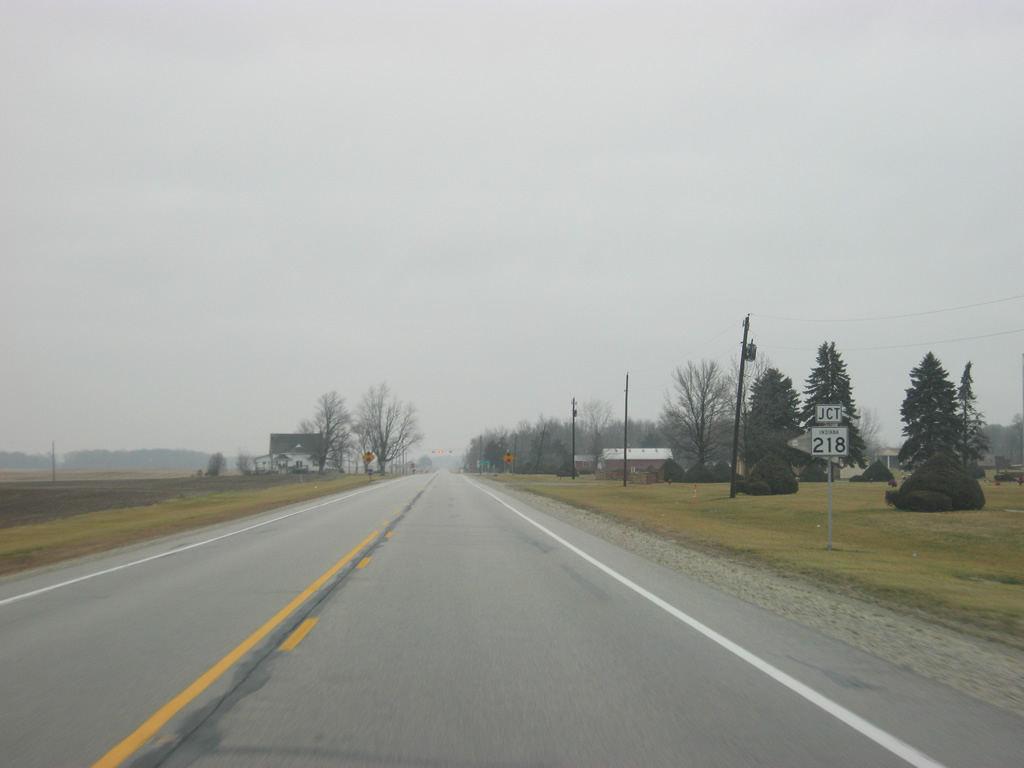
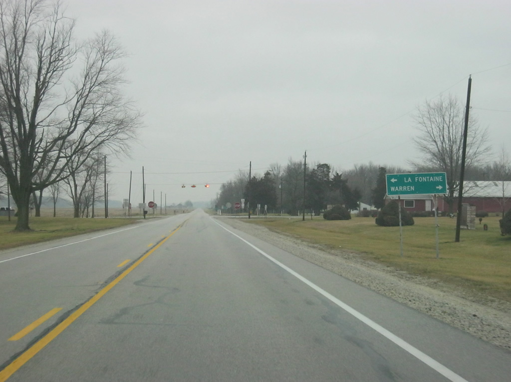
| Just past the intersection with SR 105 north, the junction with SR 218 approaches. SR 218 goes for over 91 miles in two segments. The western segment exists in Carroll, Cass and Miami Counties. The eastern 50 mile segment begins here at SR 15 in La Fontaine and heads east toward Warren and Berne before reaching the Ohio border. 12/27/10 |
|
| La Fontaine is six miles to the west while Warren is about ten miles to the east from SR 9. 12/27/10 |
|
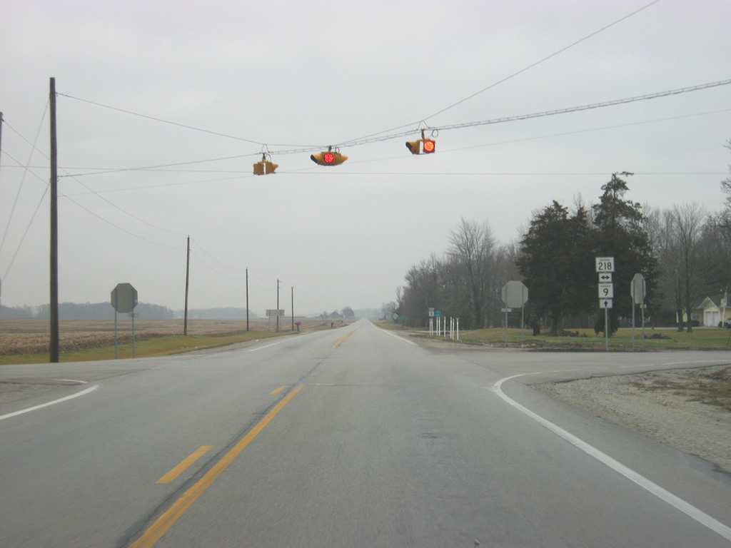
| Now at the four-way stop between SR 9 and SR 218. 12/27/10 |
|
| Huntington is now 17 miles away. Two distance signs appear on SR 9 within a mile in this area despite the fact that they are rare from Shelbyville north to Pendleton. 12/27/10 |
|
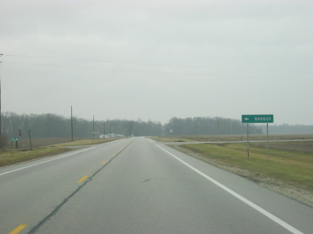
| Coming up to the intersection with County Road 900 South, which leads to the town of Banquo to the west. 12/27/10 |
|
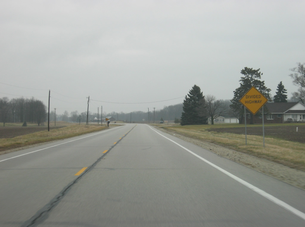
| North of the intersection with County Road 900 South, SR 9 becomes a divided four lane highway. 12/27/10 |
|
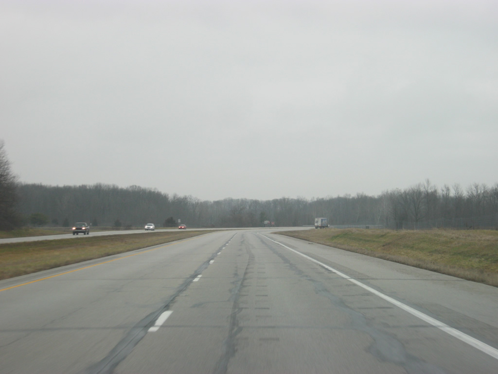
| A view of SR 9 as it is now a four lane expressway, with very low traffic. In comparison, the two lane section through Alexandria has more traffic. 12/27/10 |
|
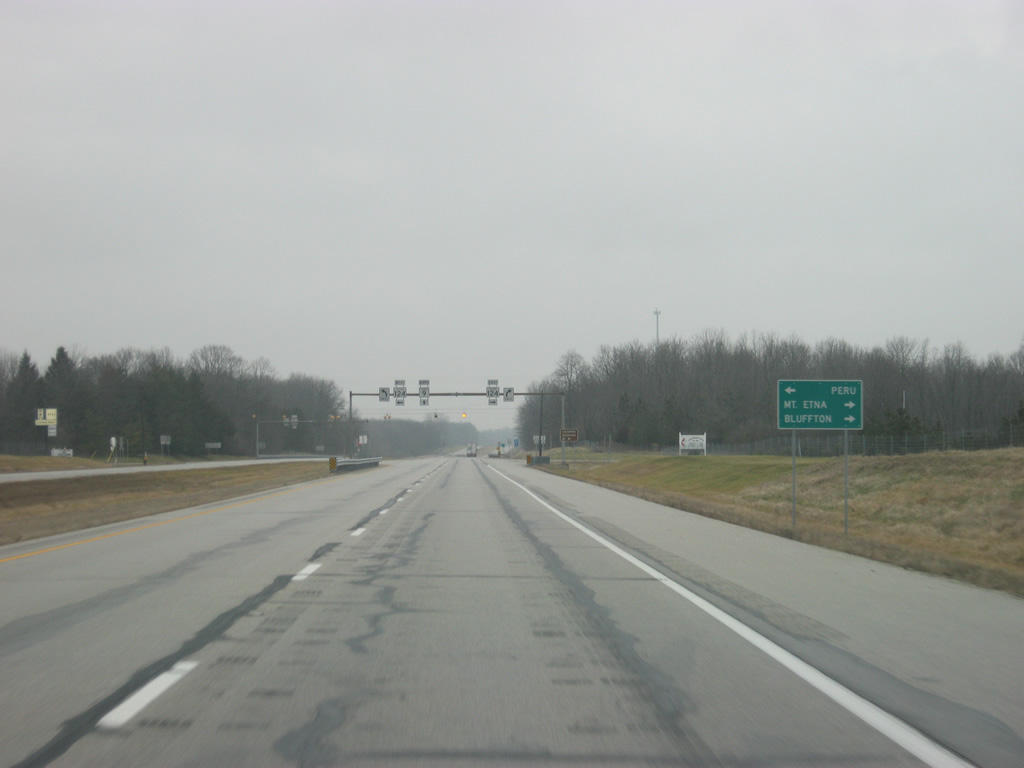
| SR 9 next enters the intersection with SR 124. SR 124 is a 67 mile highway that goes from Peru to Bluffton and the Ohio border. Mount Etna is just east of the intersection between the two highways. 12/27/10 |
|
| A flasher marks the intersection between SR 9 and SR 124. Salamonie Reservoir can be reached via SR 124 west. 12/27/10 |
|
| North of the intersection with SR 124, SR 9 crosses the southern fork of Salamonie Reservoir. 12/27/10 |
|
| A view of SR 9 in between the two forks of Salamonie Reservoir. 12/27/10 |
|
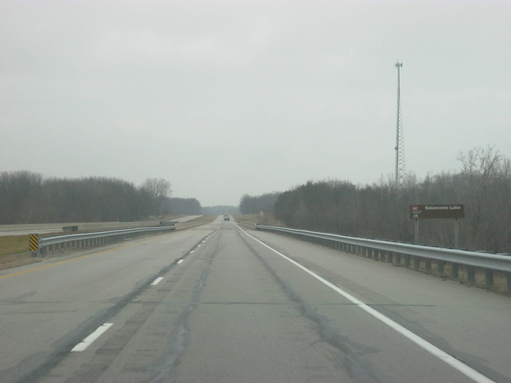
| SR 9 crosses over the northern fork of the Salamonie Reservoir. 12/27/10 |
|
| Northbound SR 9 travelers reach the intersection with County Road 200 South, which leads toward the dam for Salamonie Reservoir to the west in southeastern Wabash County. 12/27/10 |
|
| SR 9 heads toward the northeast as it approaches the city of Huntington. 12/27/10 |
|
| Etna Road breaks off toward the northeast following the original routing of SR 9 thru the city of Huntington. Despite Etna Road's path toward Downtown Huntington, the control city of Huntington follows SR 9 for the bypass around the city's west side. 12/27/10 |
|
| On the southwest side of Huntington, SR 9 lowers its intersection with County Road 200 North, serving an industrial park to the east. 12/27/10 |
|
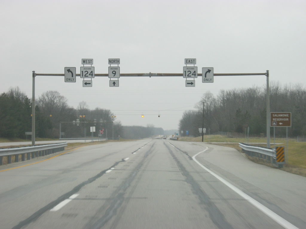
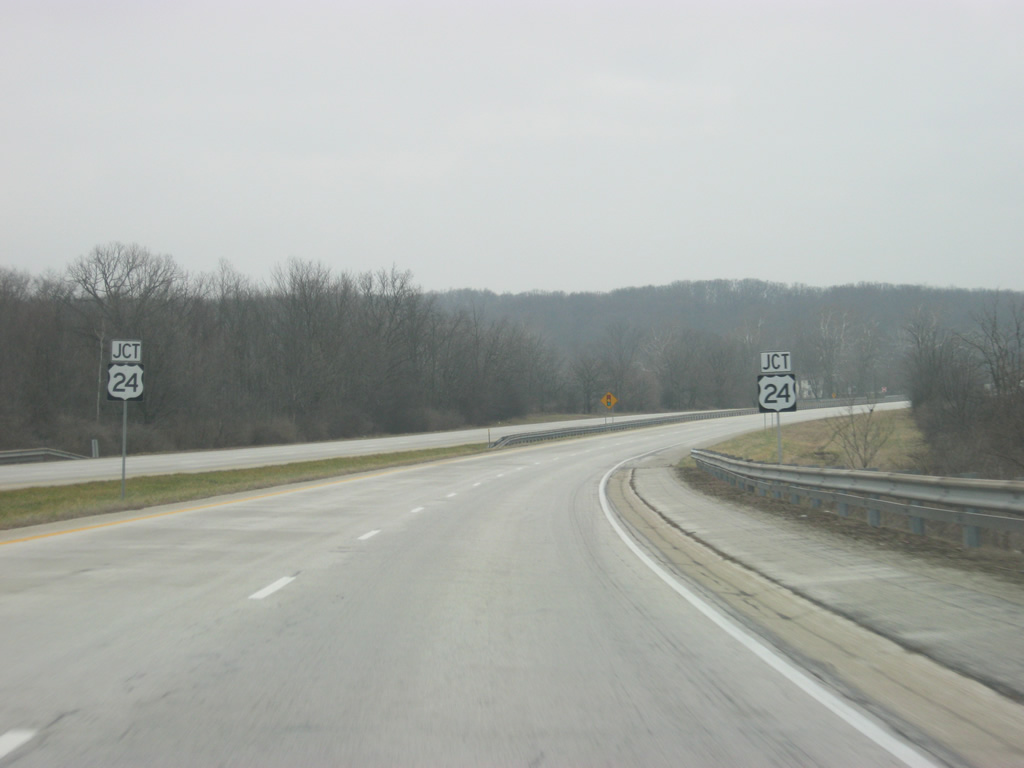
| North of the intersection with County Road 200 North, SR 9 is now one mile away from the next stoplight, serving U.S. 24 west. U.S. 24 goes for 1,540 miles from Interstate 70 in central Colorado to Pontiac, Michigan. 12/27/10 |
|
| SR 9 approaches U.S. 24 west (Park Drive). U.S. 24 goes for 164 miles across Indiana from west of Kentland through Monticello, Logansport, Peru, Wabash, Huntington, and Fort Wayne. The stretch from Logansport to Fort Wayne is a four lane expressway and the segment from Fort Wayne northeast toward Ohio is being upgraded to a freeway. Altogether, and along with the new four lane segment of SR 25 from Logansport to Lafayette, it is known as the Hoosier Heartland Highway. 12/27/10 |
|
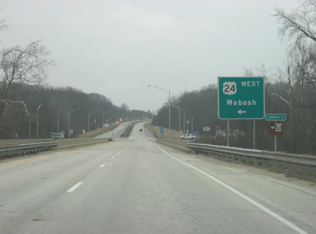
| SR 9 crosses over the state river of Indiana, the Wabash River, as it approaches the intersection with U.S. 24 west/Park Drive. The city of Wabash is 21 miles to the west from Huntington. 12/27/10 |
|
| Now at the stoplight intersection with U.S. 24 west and Park Drive. To the east, Park Drive follows the original routing of U.S. 24 through the city of Huntington and on some maps the route is referred to as Business U.S. 24. Present-day U.S. 24 follows SR 9 to the north toward the point where SR 9 breaks off the four lane highway that will carry U.S. 24 toward Fort Wayne. 12/27/10 |
|
| North of the junction with U.S. 24 west/Park Drive, reassurance shields mark the multiplex with SR 9 and U.S. 24 east. The two highways begin to bypass Huntington in earnest. 12/26/10 |
|
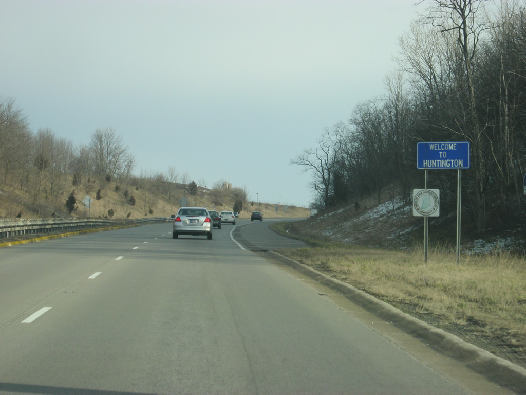
| SR 9/U.S. 24 officially enters the city of Huntington (population 17,450). Huntington is home to the Church of the United Brethren in Christ, Huntington University, and in recent years the home to Vice President Dan Quayle. Today, it is also a suburb of the larger Fort Wayne region. 12/26/10 |
|
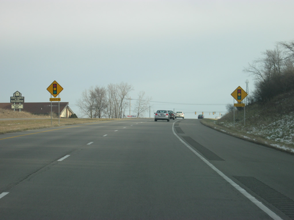
| SR 9/U.S. 24 east approaching the intersection with Flaxmill Road. 12/26/10 |
|
| Now at the intersection with SR 9/U.S. 24 east and Flaxmill Road. Several industrial parks are served via this street to the north of the bypass. 12/26/10 |
|
| Up ahead is the intersection with U.S. 224 east/SR 5 (Jefferson Street). U.S. 224 goes for 289 miles from this intersection through Huntington and Decatur en route across the state of Ohio to New Castle, Pennsylvania. SR 5 travels for 96 miles from SR 22 in Upland in Grant County north through the communities of Warren, Huntington, South Whitley, Ligonier, and Shipshewana, ending north of there at SR 120. 12/26/10 |
|
| SR 9/U.S. 24 east at the junction with U.S. 224 east/SR 5 (Jefferson Street). The two highways multiplex for three miles before breaking off toward the southeast. Jefferson Street is the primary road across the city of Huntington and aerial maps show that the right of way had been cleared for a potential diamond interchange that was never built. This is still the busiest intersection in Huntington however. 12/28/11 |
|
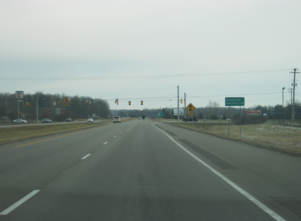
| East of the junction with U.S. 224 east/SR 5, the next stoplight is with Guilford Street, which provides access to Huntington University. 12/26/10 |
|
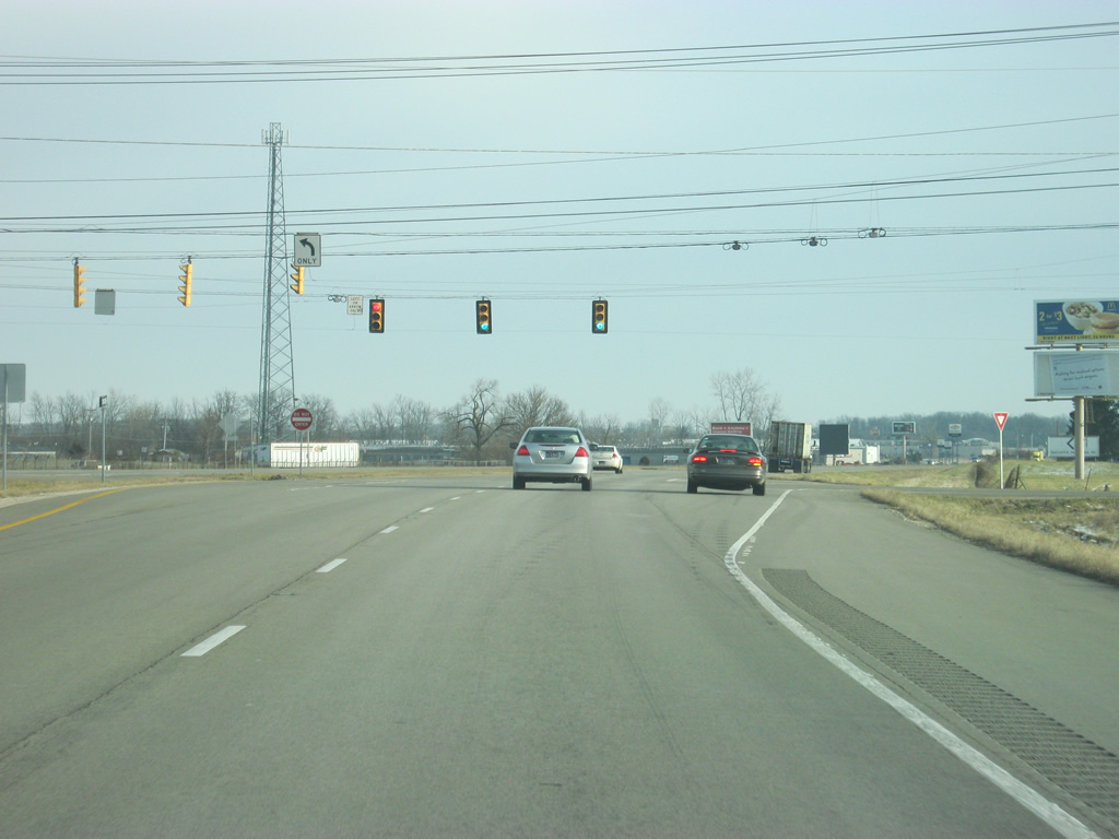
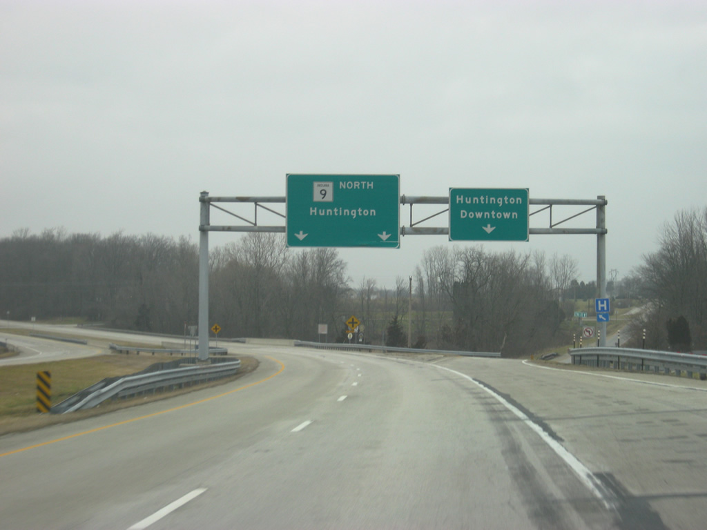
| East of the Guilford Street intersection, we near the split between U.S. 24 and SR 9 north. The diamond interchange between the two highways is one mile away. 12/26/10 |
|
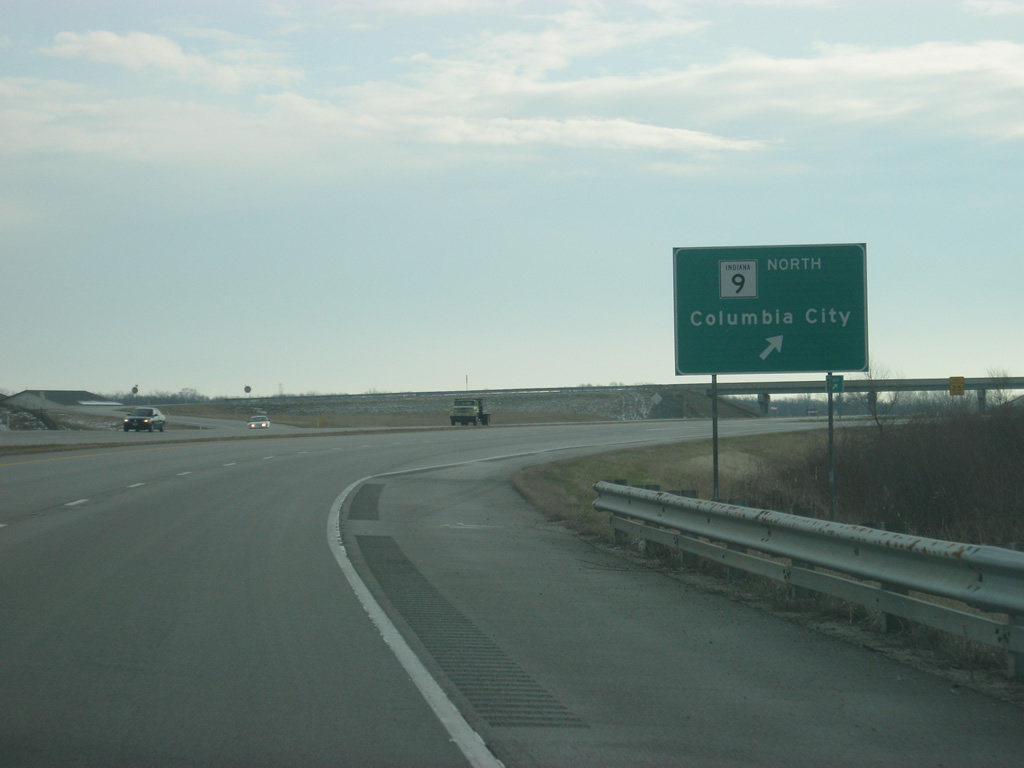
| On the north side of Huntington, U.S. 24 continues to the east toward Fort Wayne as SR 9 exits off en route to Columbia City. Mishler Pike follows the older routing of SR 9 to the south back toward Huntington. 12/26/10 |
|
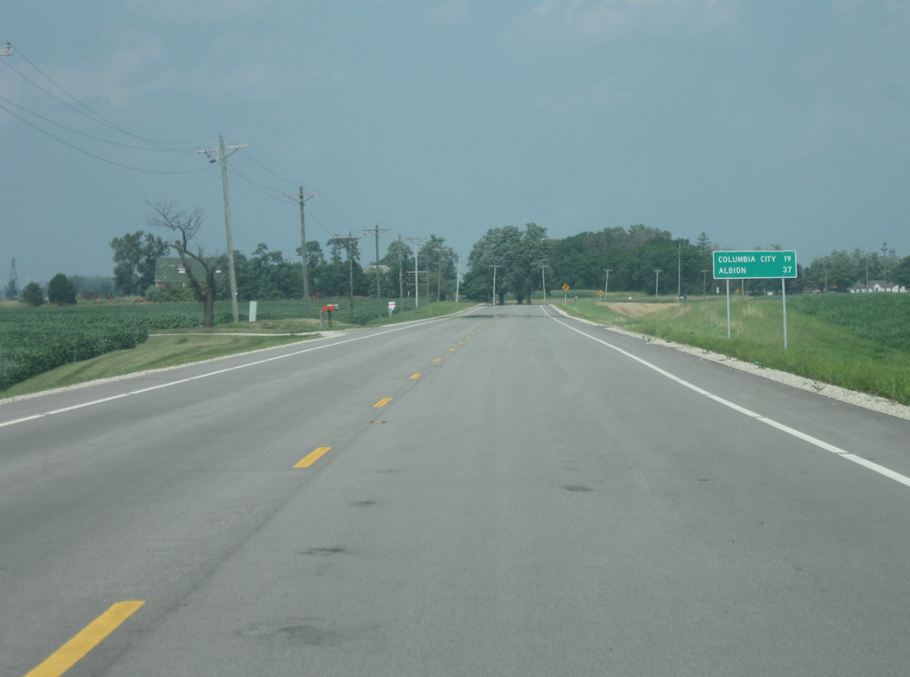
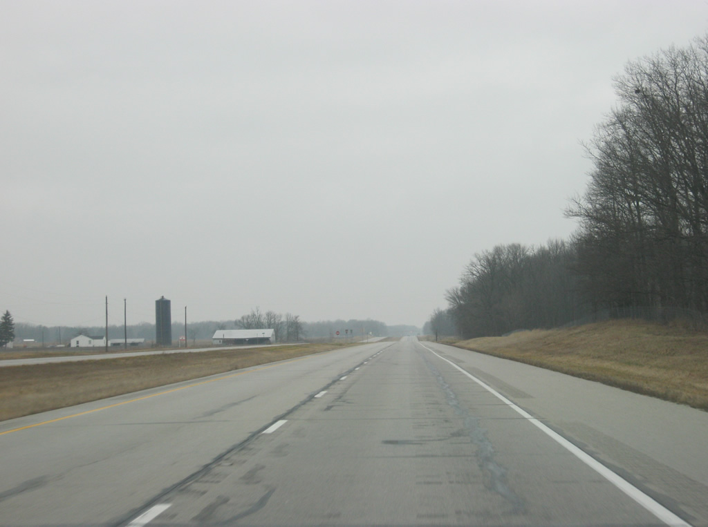
| North of the interchange with U.S. 24, SR 9 returns to a two lane rural highway as it travels across northern Huntington County. The Whitley County seat of Columbia City is 19 miles away while Albion, the county seat of Noble County, is 37 miles away. 08/16/09 |
|
| A view of SR 9 in rural northern Huntington County. 08/16/09 |
|
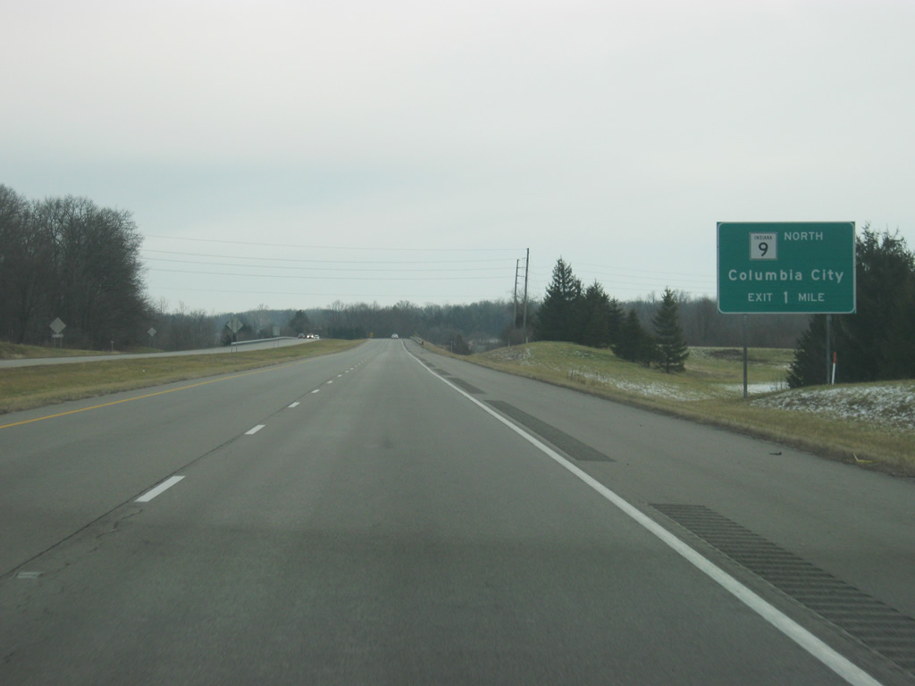
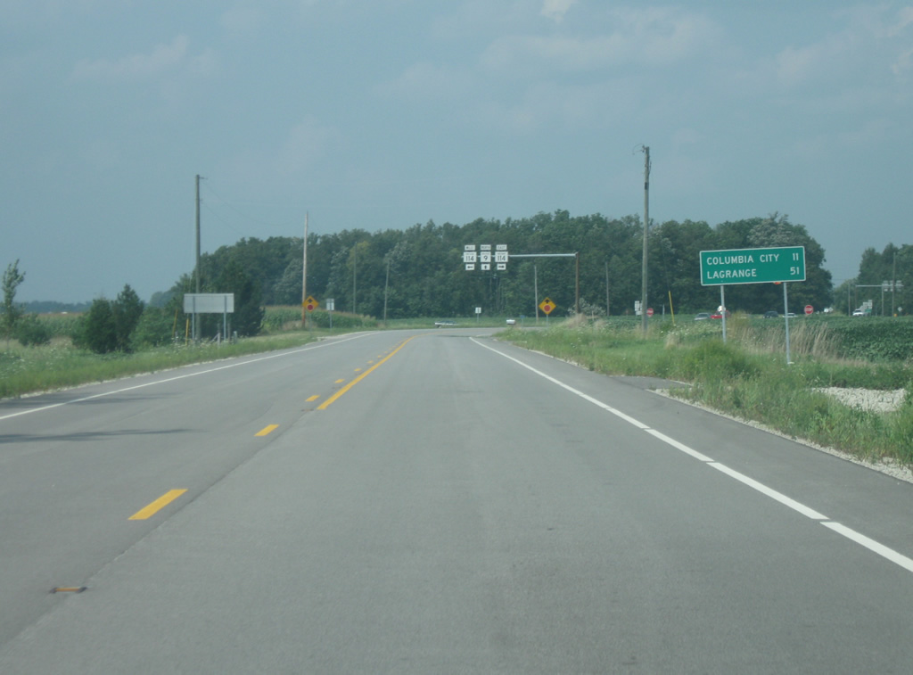
| A distance sign appears before the intersection with SR 114. Along SR 9, Columbia City is 11 miles away while LaGrange is 50 miles up the road. SR 114 exists in three segments across Northern Indiana. Forthcoming is the eastern segment of SR 114, which goes from Akron at SR 14 east to U.S. 24 near Fort Wayne. 08/16/09 |
08/16/09, 03/18/10, 12/26/10, 12/27/10, 03/05/11, 03/19/11, 12/28/11 by Thomas Decker
Page Updated 04-23-2012.


 east &