|
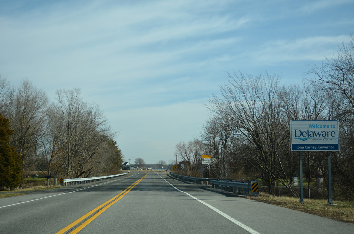
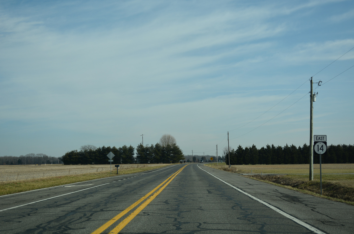
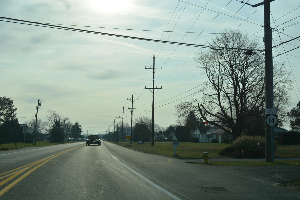
| MD 317 (Burrsville Road) east transitions to SR 14 (Vernon Road) at the rural community of Burrsville. 01/15/17 |
|
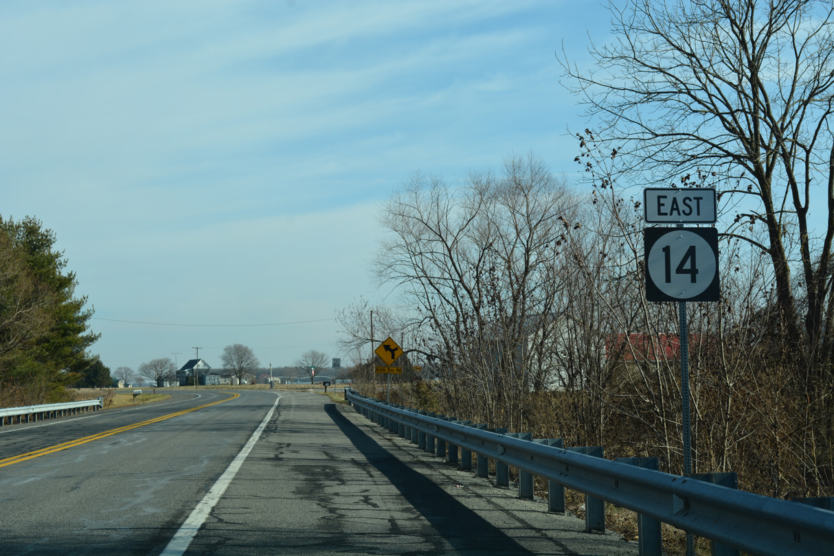
| The first confirming shield for SR 14 stands between Burrsville Branch and the merge with Knife Box Road at Burrsville. 01/15/17 |
|
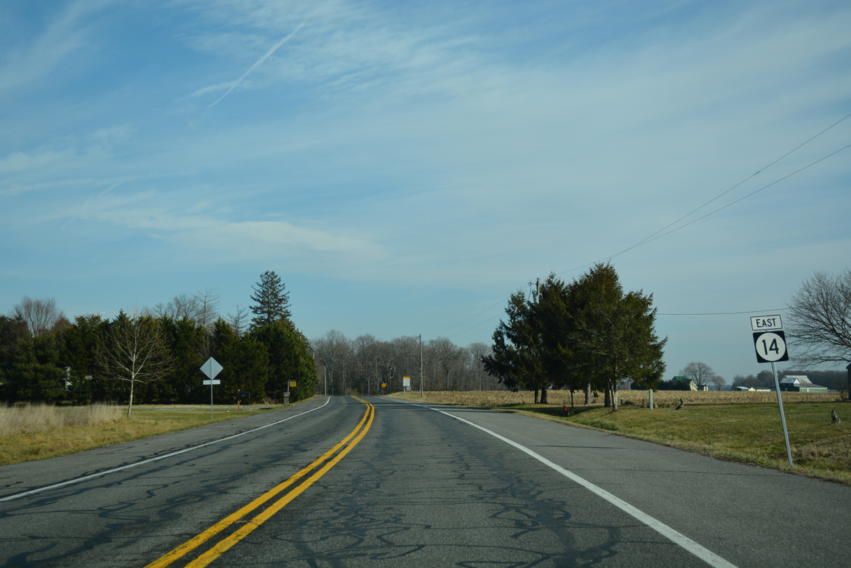
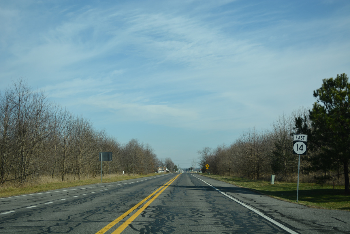
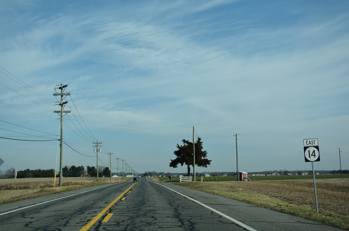
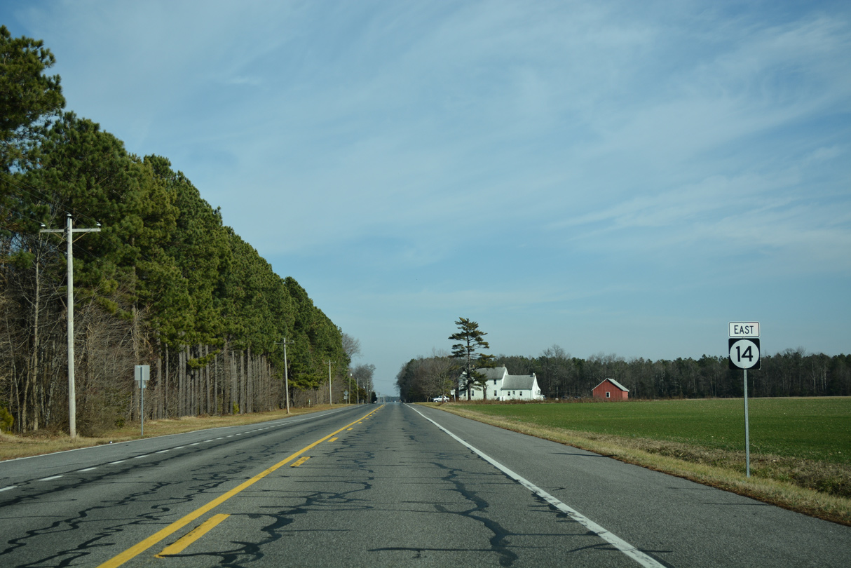
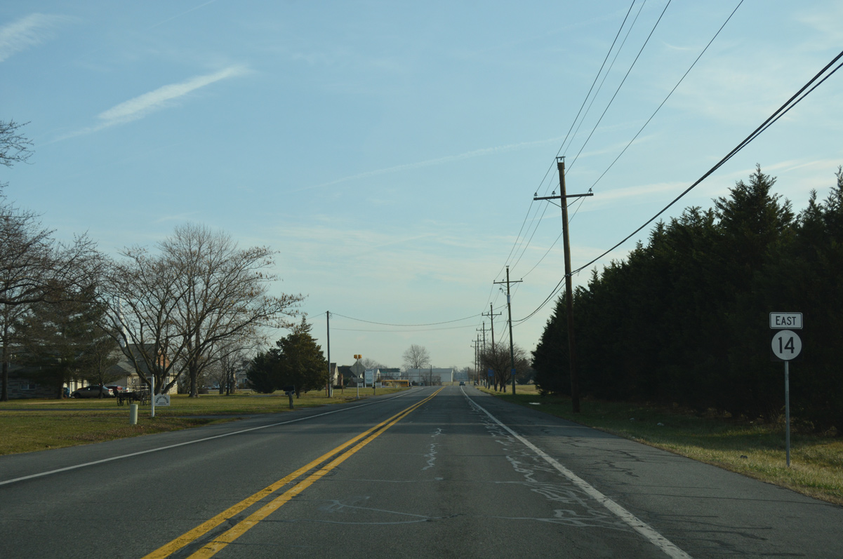
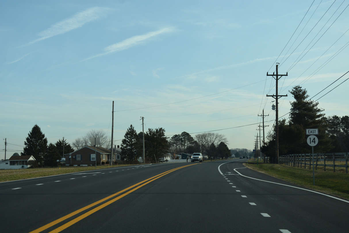
| Vernon Road curves along the north side of agricultural land from Burrsville east to Parker Road south. 01/15/17 |
|
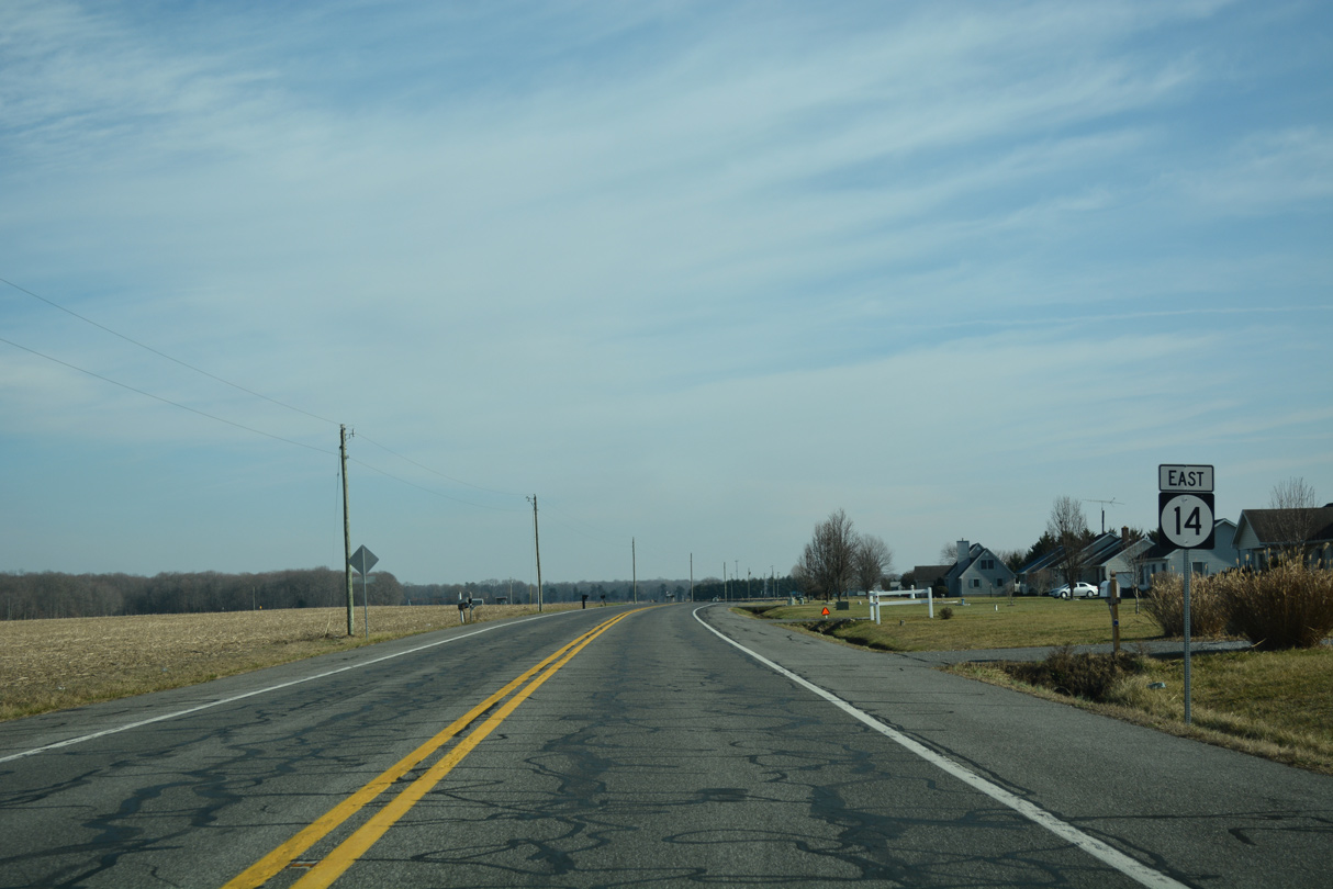
| Parker Road circles southwest to Caroline County, Maryland from SR 14 (Vernon Road) ahead of this shield. 01/15/17 |
|
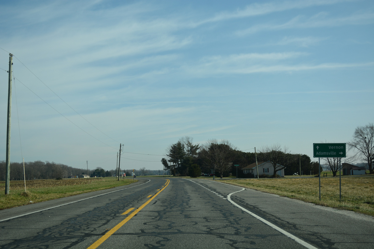
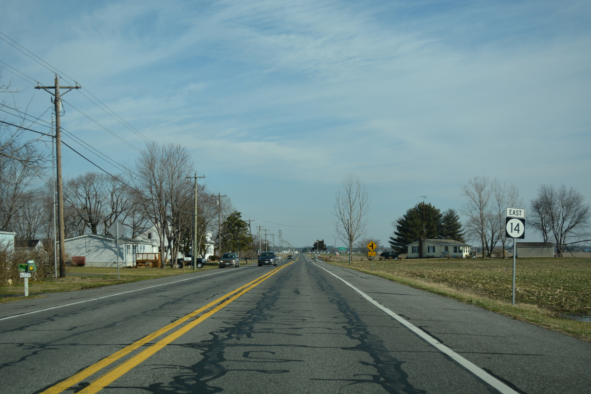
| Welch Road links SR 14 north with Layton Corners Road at Layton Corners ahead of the next reassurance marker. 01/15/17 |
|
| Cattail Branch Road arcs southwest to Burrsville Road at Big Pine. Burrsville Road travels south from there to SR 16 at Adamsville. 01/15/17 |
|
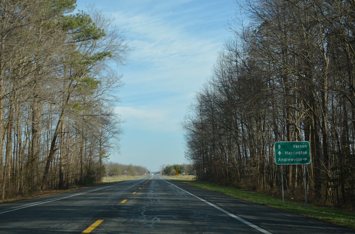
| Greenville Road loops south from SR 14 (Vernon Road) at the ensuing eastbound intersection to Andrewville Road by the settlement of Greenville. 01/15/17 |
|
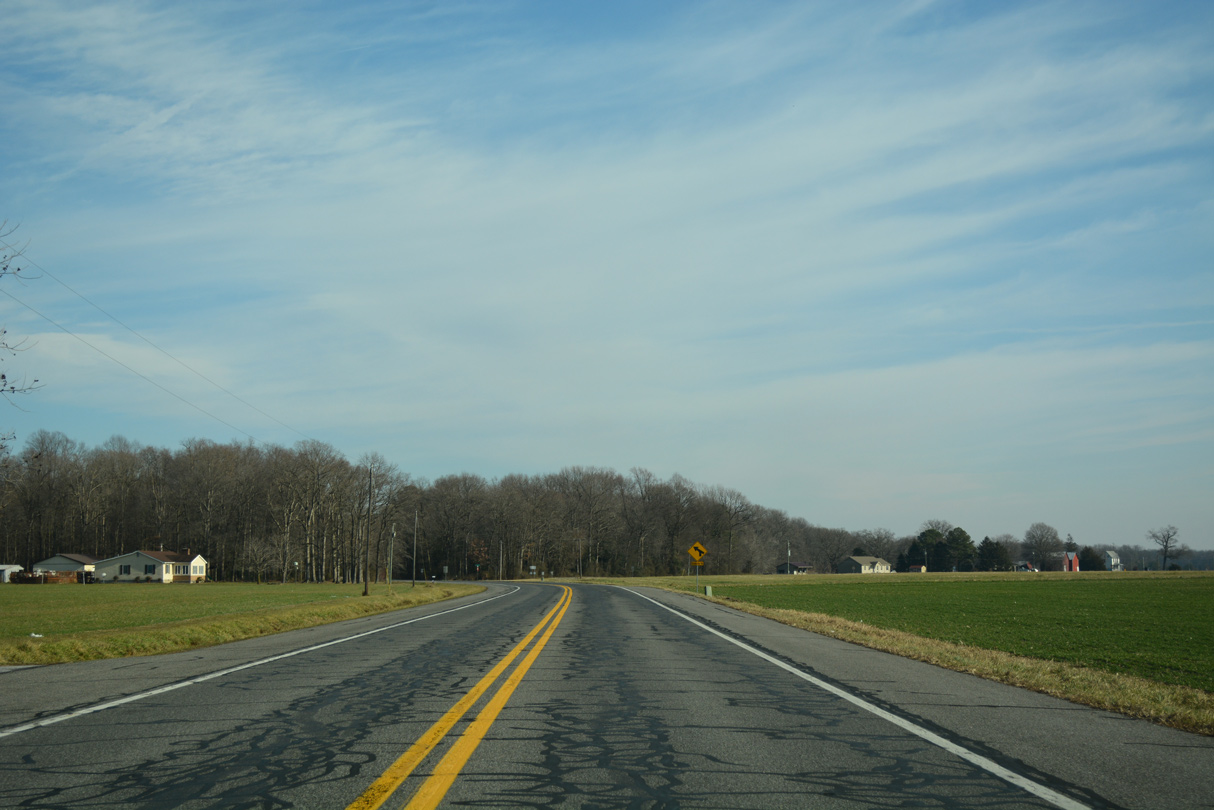
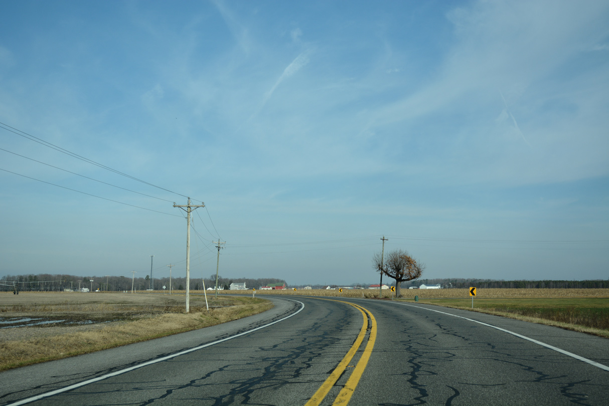
| SR 14 continues east through woodlands surrounding Green Branch. 01/15/17 |
|
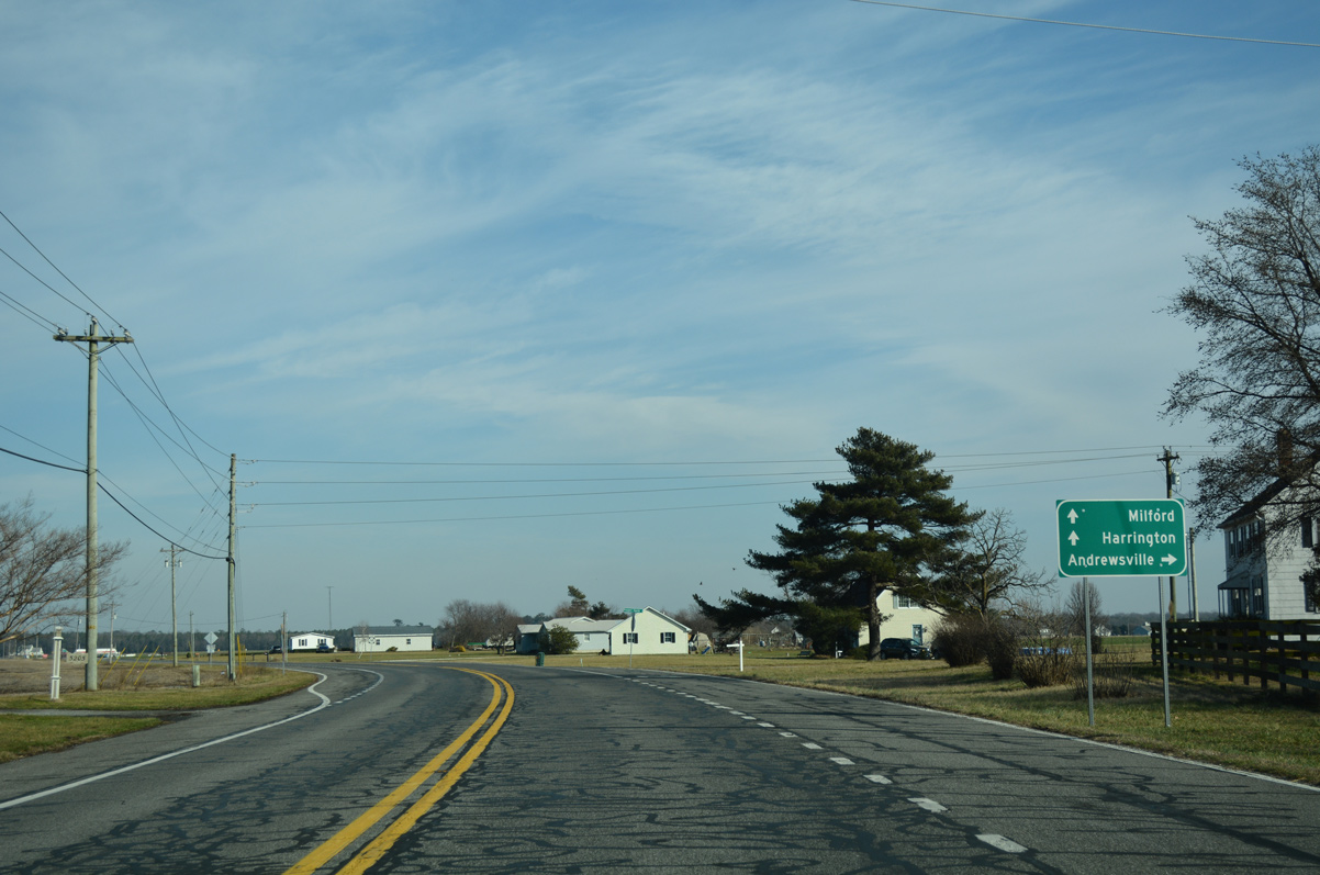
| Andrewville Road ties into SR 14 just north of Greenville across from Drapers Corners Road. The rural highway ventures south to Andrewsville and east to become Main Street through the town of Farmington. 01/15/17 |
|
| Lobo Road angles northeast from Andrewville Road to cross SR 14 (Vernon Road) at the succeeding intersection. 01/15/17 |
|
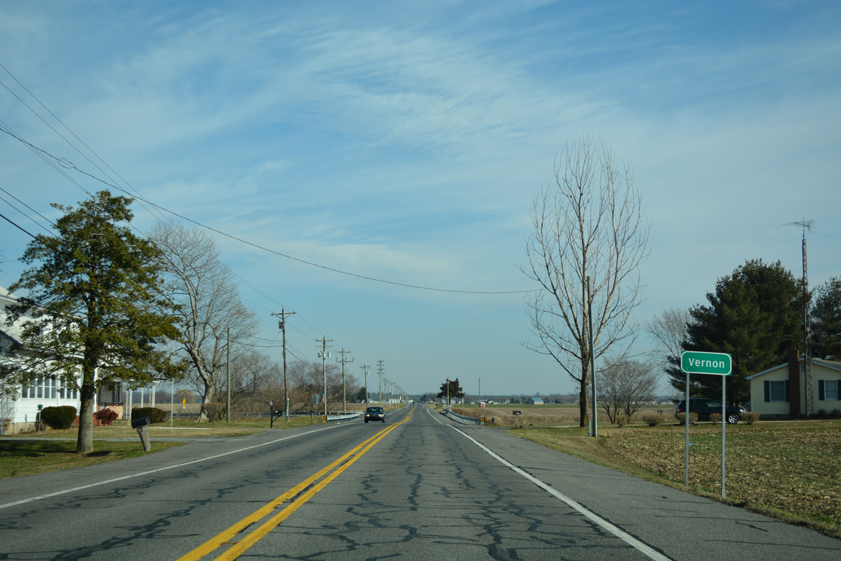
| Lobo Road ends just north of SR 14 at forthcoming Fox Hunters Road and the community of Vernon. 01/15/17 |
|
| Vernon lies along SR 14 at Fox Hunters Road north and the channelized Marshyhope Creek. 01/15/17 |
|
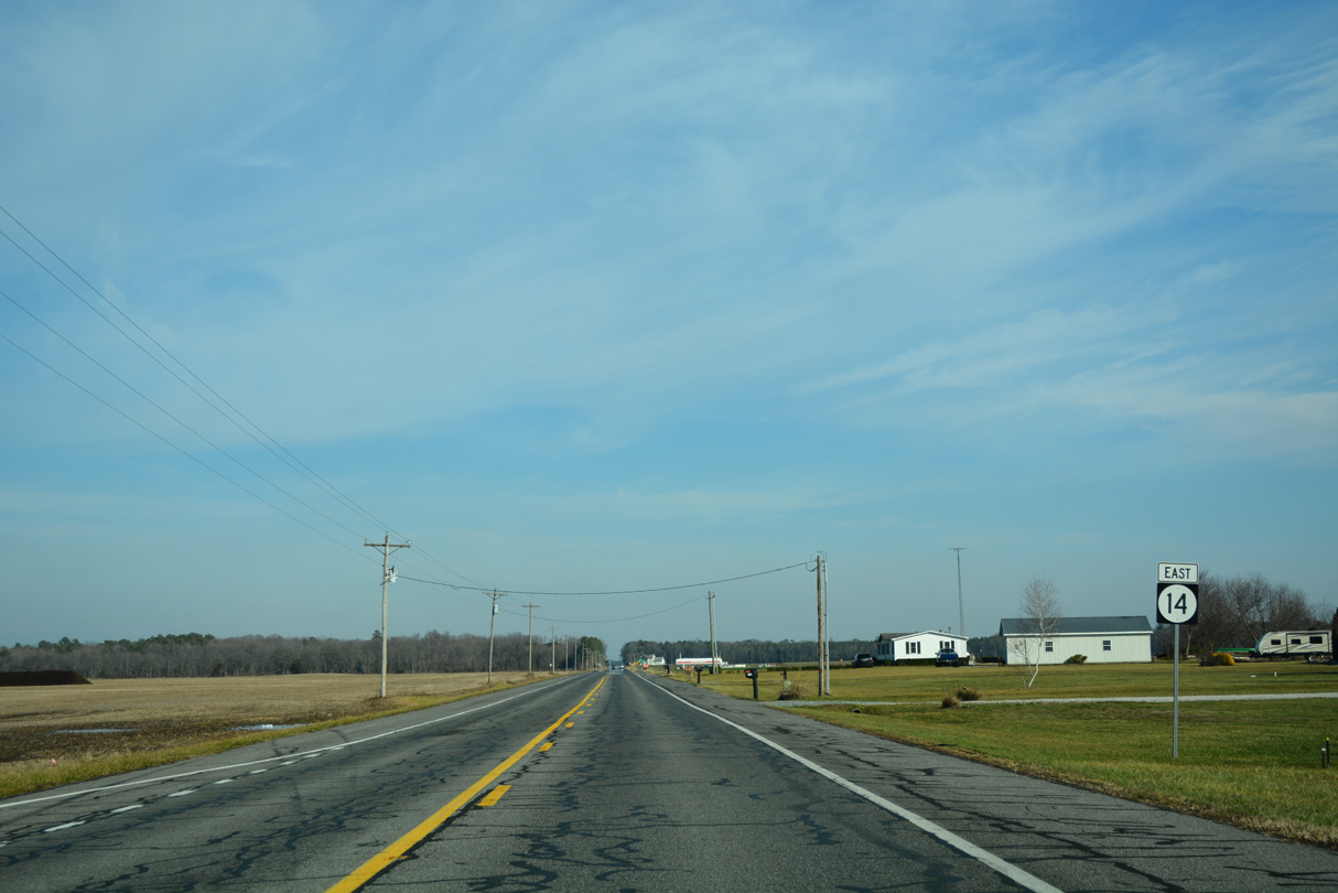
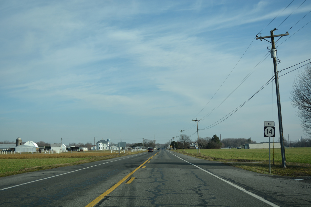
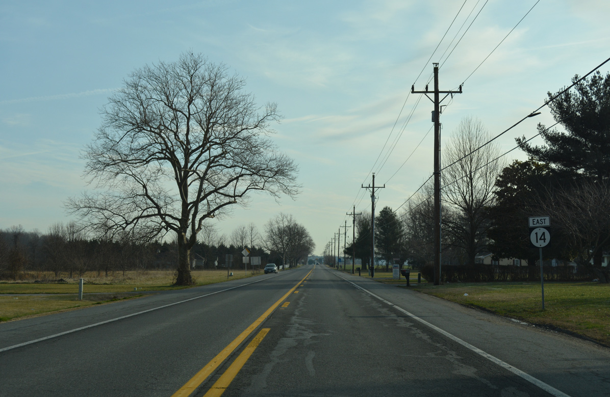
| SR 14 (Vernon Road) plies across open farm land east from Vernon toward Fleming Corners. 01/15/17 |
|
| Prospect Church Road meanders north from Andrewsville to end at SR 14 (Vernon Road). Their is a discrepancy in signs for Andrewsville, with the prior guide sign recognizing it as Andrewville. 01/15/17 |
|
| Vernon Road bends northeasterly from Prospect Church Road over the next two miles. 01/15/17 |
|
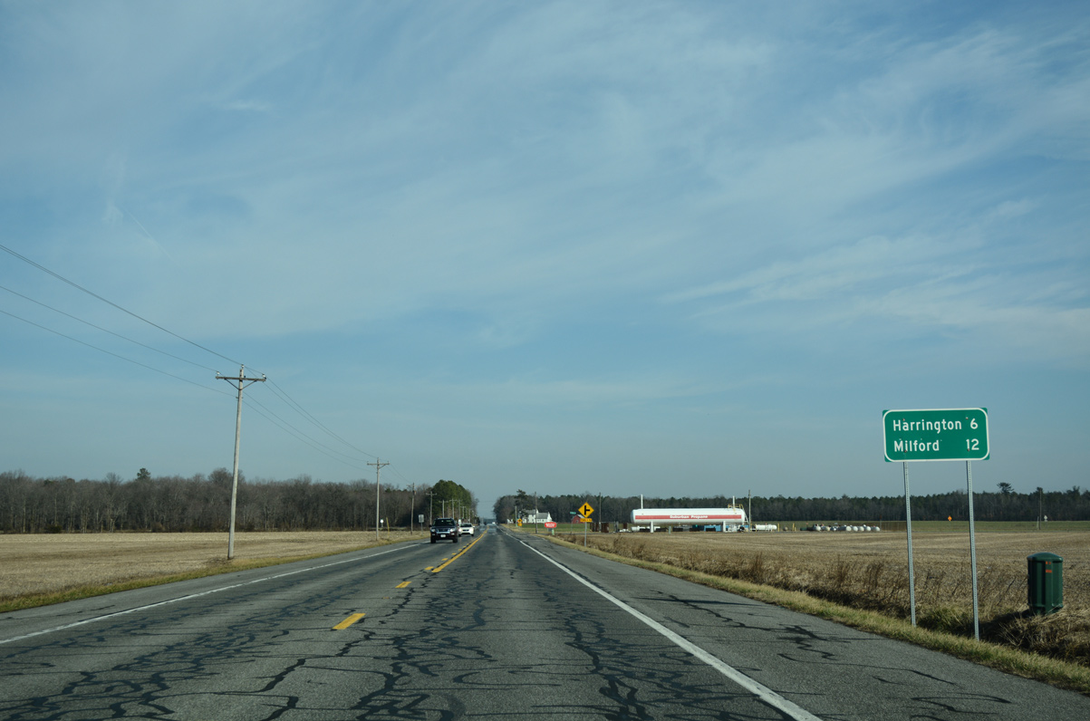
| Harrington lies six miles ahead along Vernon Road and Commerce Street. SR 14 reaches Milford in 12 miles and ends 14.13 miles east of Prospect Church Road. 01/15/17 |
|
| Flatiron Road angles northwest from Fiver Corners to meet SR 14 across from Cornish and Hemping Roads. A reassurance marker follows on Vernon Road eastbound. 01/15/17 |
|
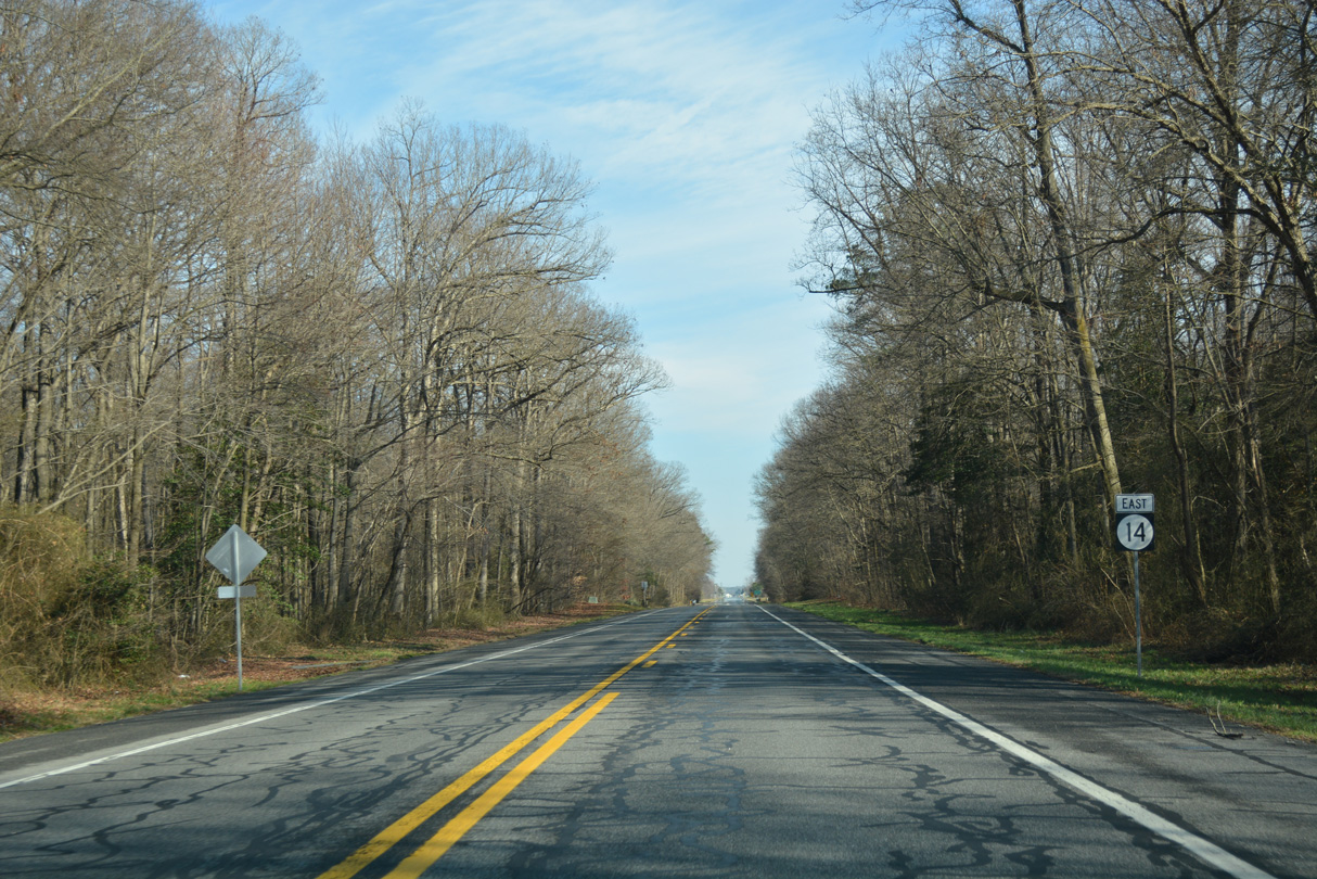
| SR 14 shifts northeast along an S-curve preceding Whiteleysburg Road. 01/15/17 |
|
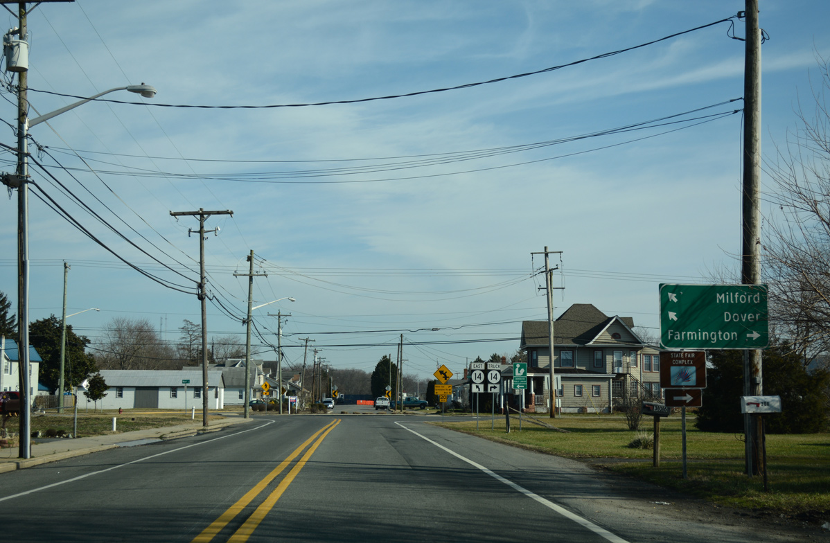
| Whiteleysburg Road ventures southeast from MD 314 and SR 12 at Whiteleysburg to connect with SR 14 (Vernon Road) outside of Harrington. 01/15/17 |
|
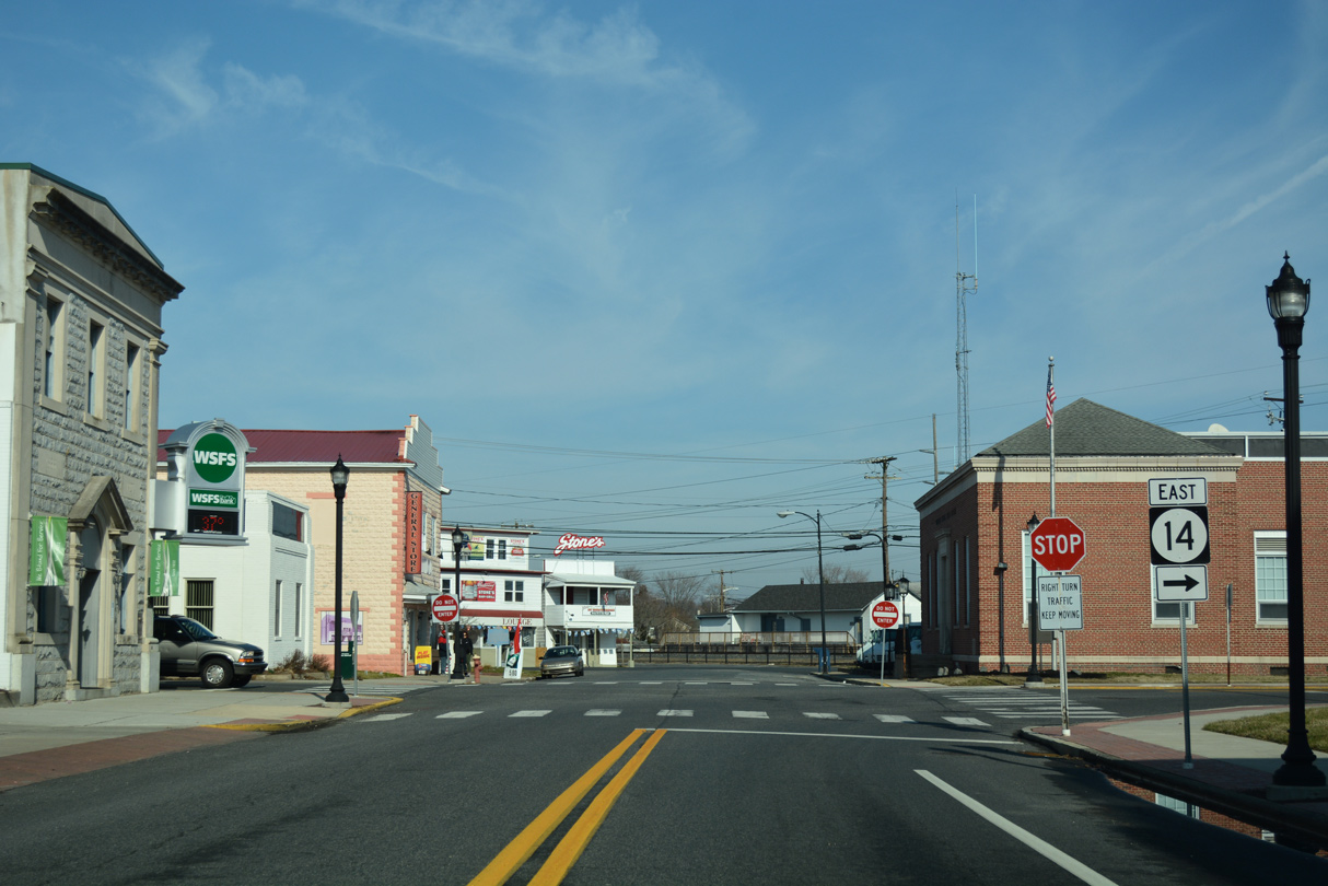
| SR 14 enters the city of Harrington by an area of agri-businesses. Following Walt Messick Road east, speed limits reduce to 25 miles per hour. 01/15/17 |
|
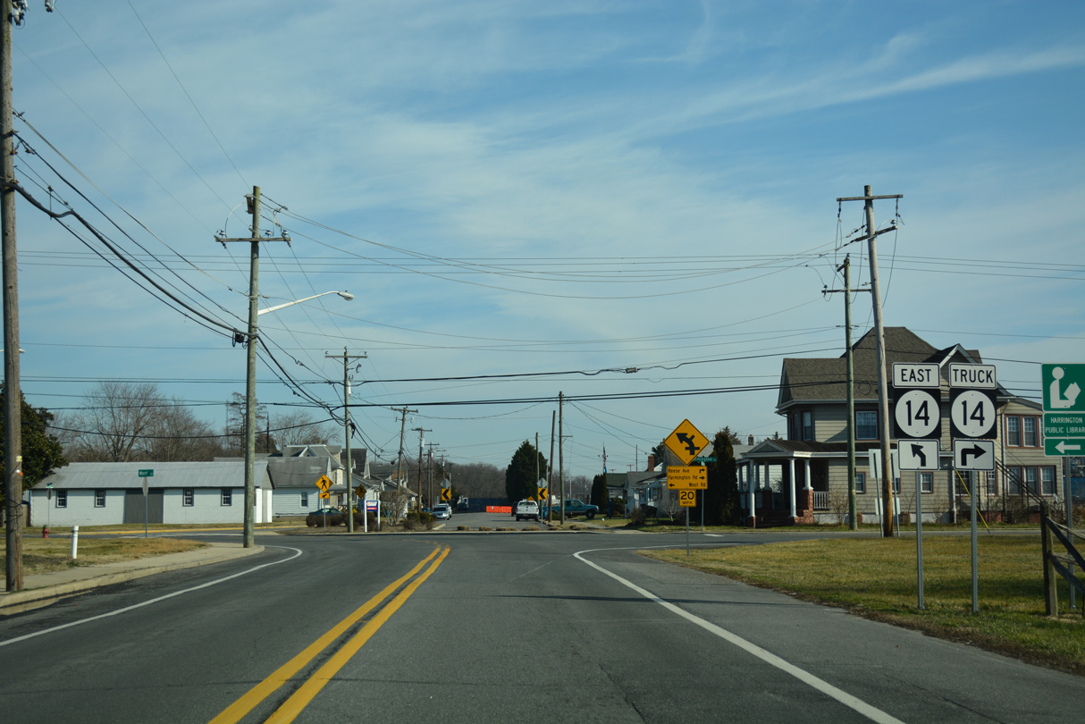
| SR 14 turns northeast onto Commerce Street toward Downtown Harrington at West Street north and Farmington Road south. Farmington Road doubles as SR 14 Truck south to Tower Hill Road and otherwise provides a direct route to Farmington independent of U.S. 13 (Dupont Highway). 01/15/17 |
|
| SR 14 Truck loops south 1.9 miles to U.S. 13 at Tower Hill Road and two miles back north to SR 14 (Milford Harrington Highway). The truck bypass avoids the sharp turn along SR 14 at Clark Street. 01/15/17 |
|
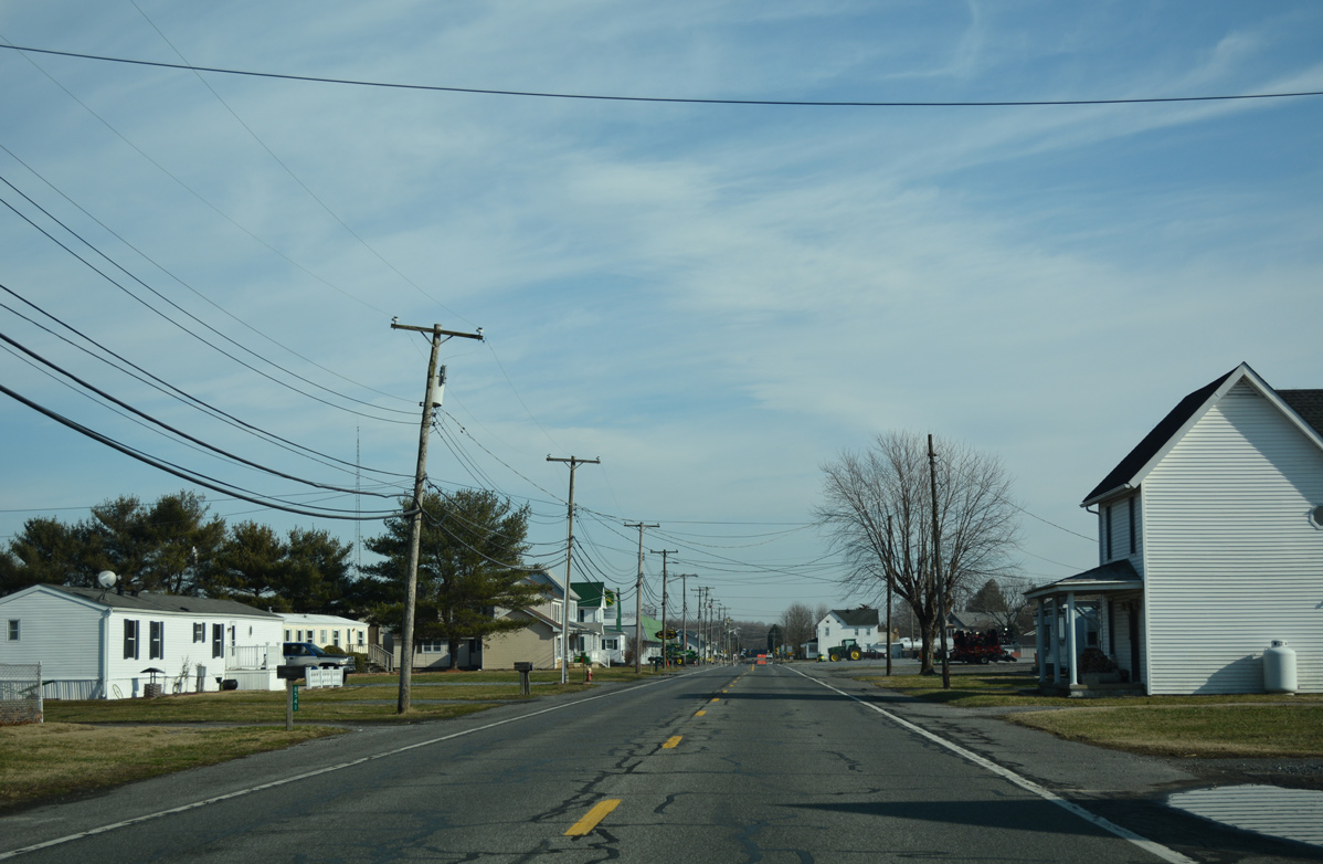
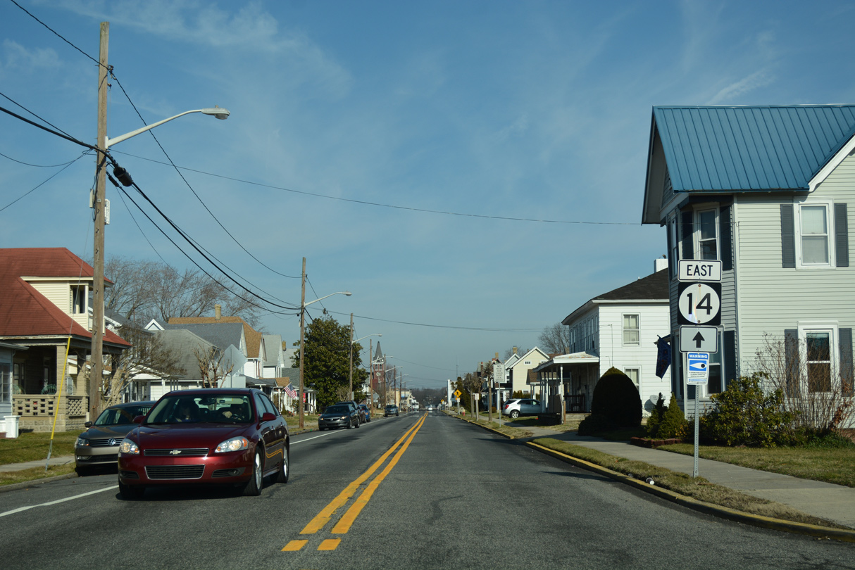
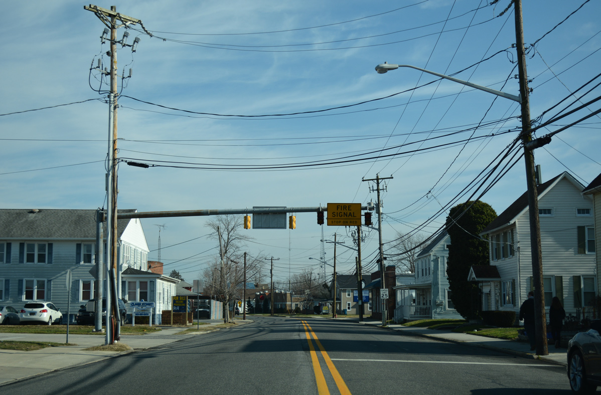
| Commerce Street narrows SR 14 through residential areas of Harrington. 01/15/17 |
|
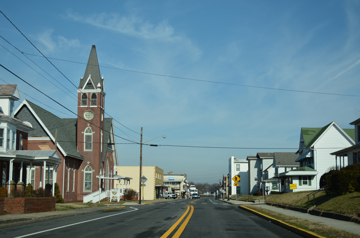
| Eastbound SR 14 (Commerce Street) at Mispillion Street and the Harrington business district. 01/15/17 |
|
| Clark Street takes SR 14 east across the Norfolk Southern Railroad tracks from Fleming Street to Delaware Avenue through Downtown Harrington. 01/15/17 |
|
| Delaware Avenue provides a direct route from the business district to U.S. 13 north at Jackson Ditch Road while SR 14 (Clark Street) continues east across town. 01/15/17 |
|
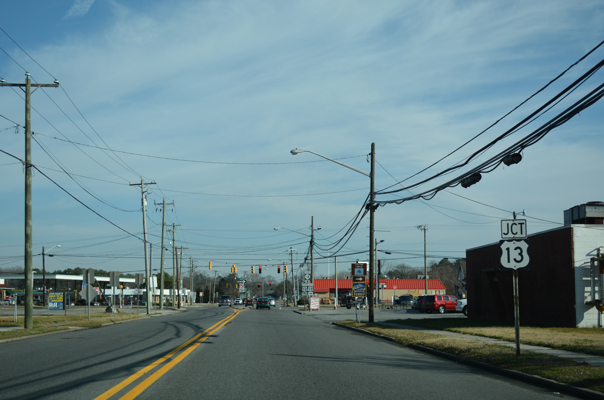
| SR 14 (Clark Street) emerges from the residential street grid to intersect U.S. 13 at a commercial strip. 01/15/17 |
|
| U.S. 13 (Dupont Highway) south runs alongside Harrington Raceway and Casino and the Delaware State Fair just beyond the city line. The four lane highway reaches Farmington in four miles and Greenwood in eight miles. 01/15/17 |
|
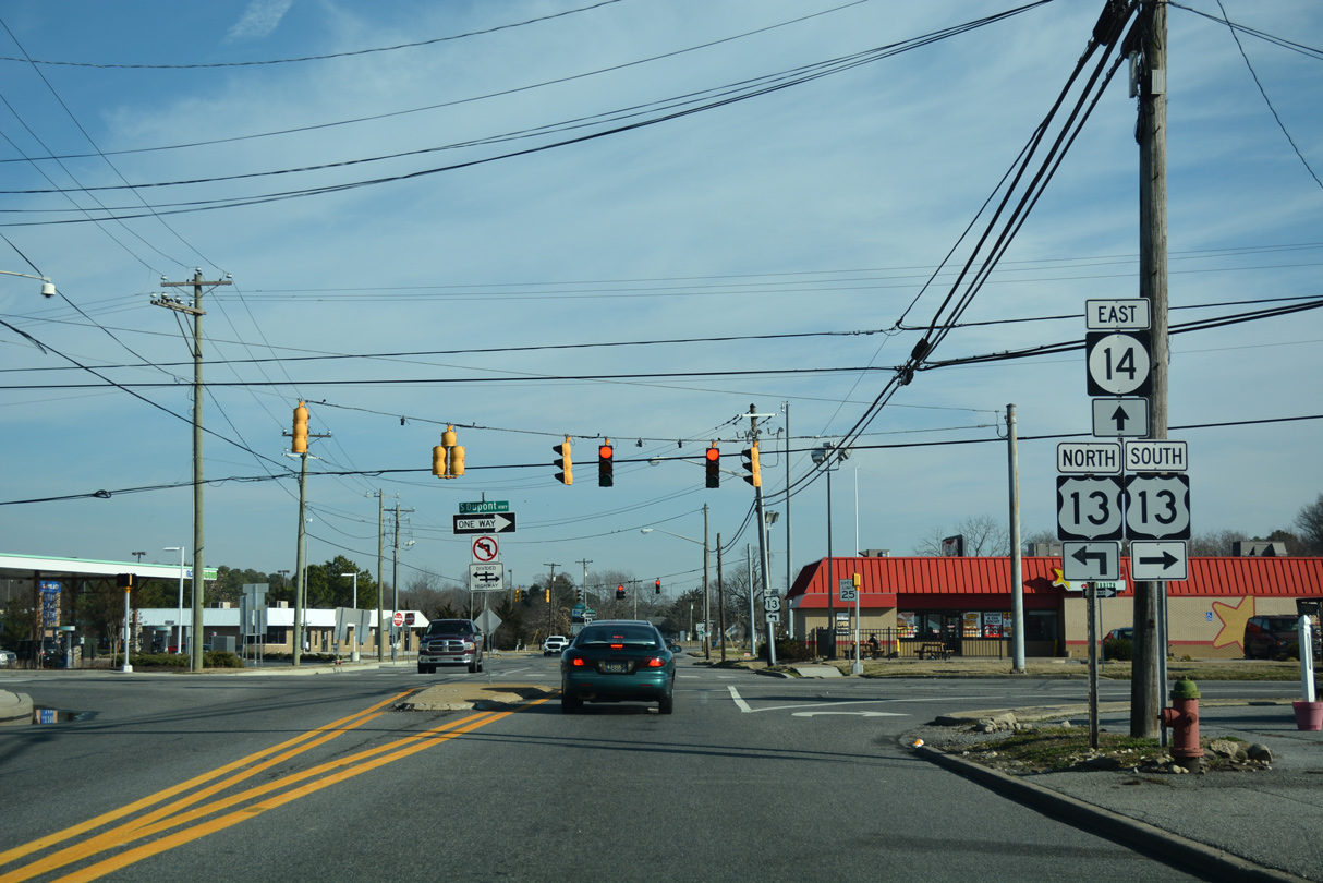
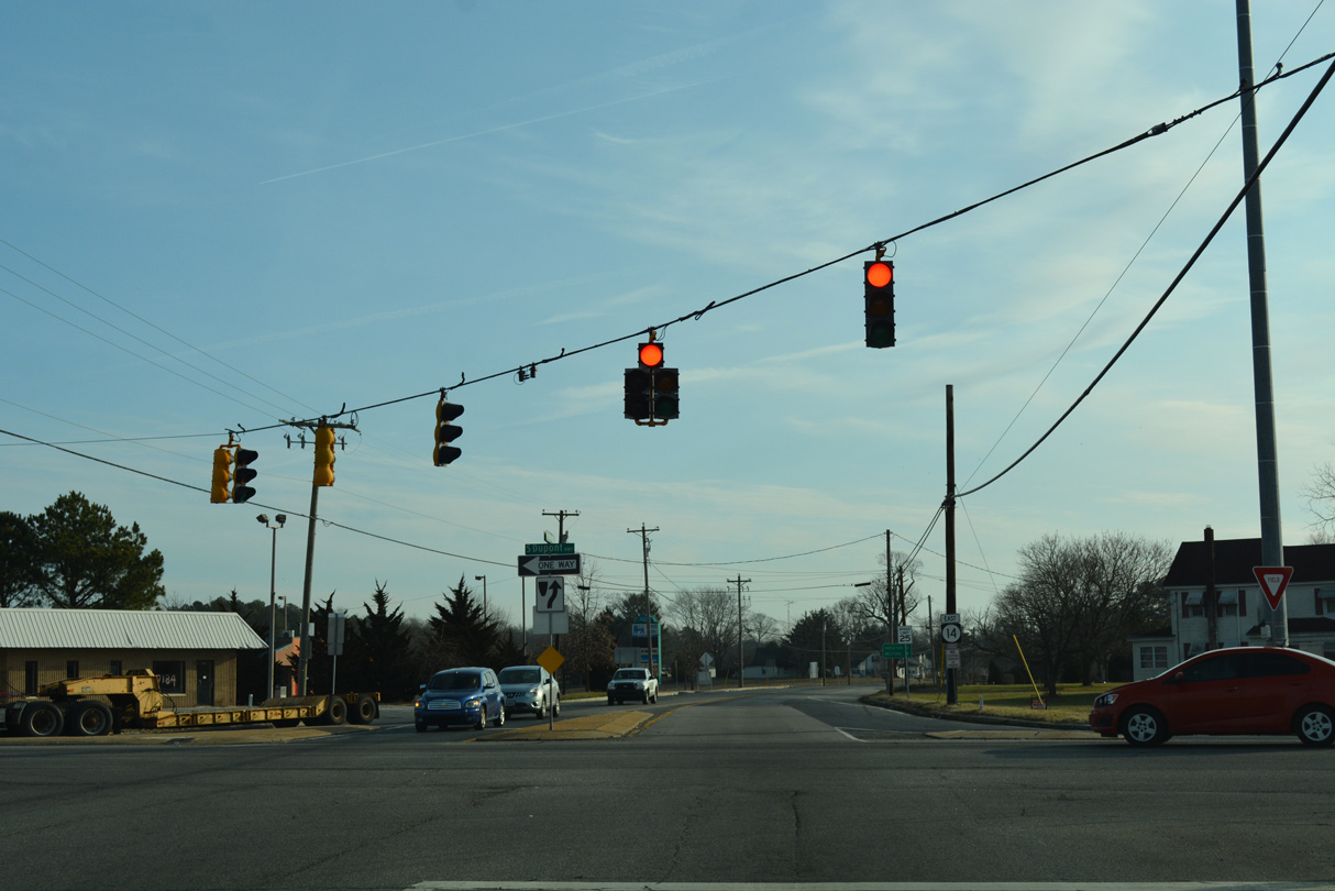
| SR 14 (Milford Harrington Highway) approaches the northbound intersection with U.S. 13. Dupont Highway separates with businesses lining the median through the east side of Harrington. 01/16/17 |
|
| North from Harrington, U.S. 13 travels six miles to Felton, 17 miles to Dover and 62 miles to Wilmington. 01/16/17 |
|
| Milford Harrington Highway passes by the Harrington Midway Park Center retail plaza beyond U.S. 13. 01/16/17 |
|
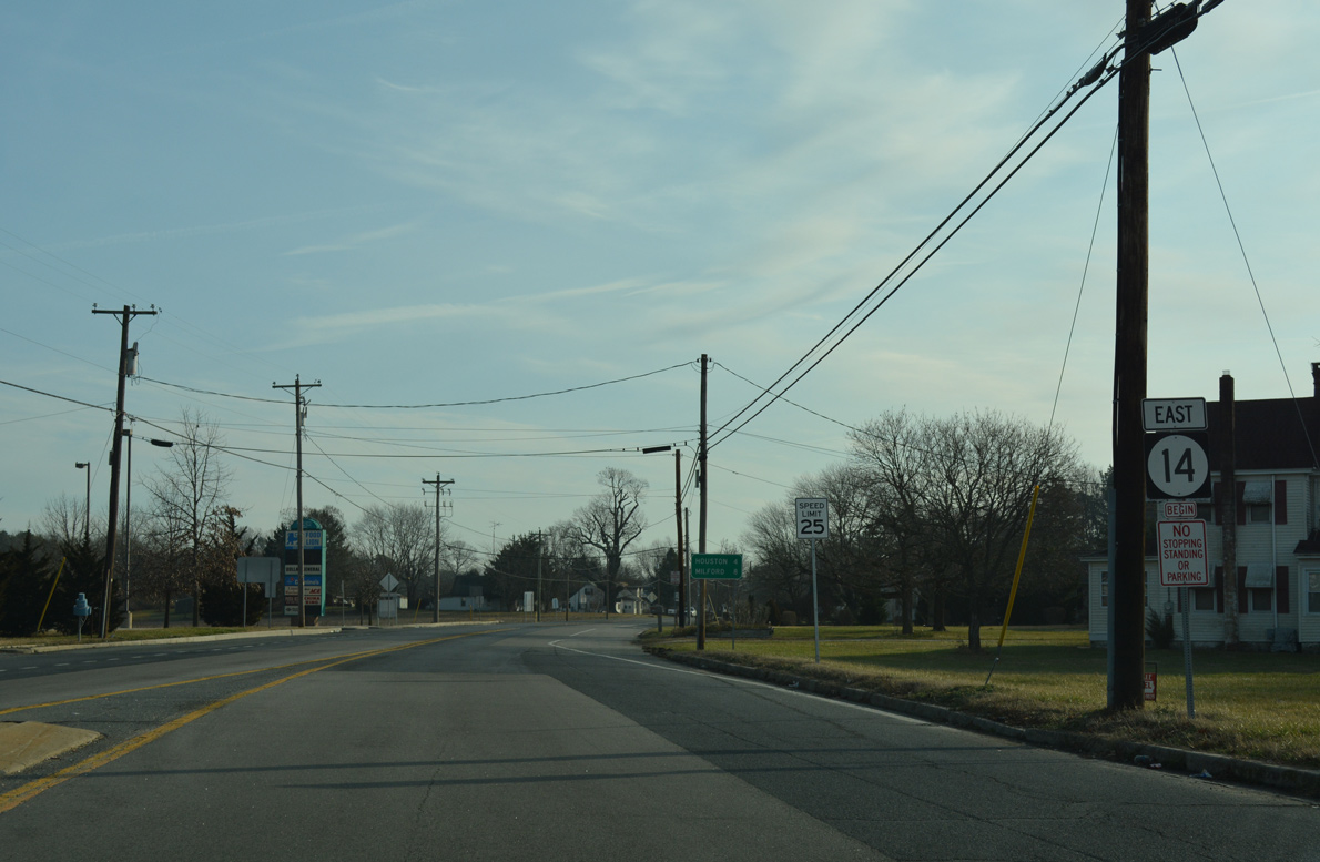
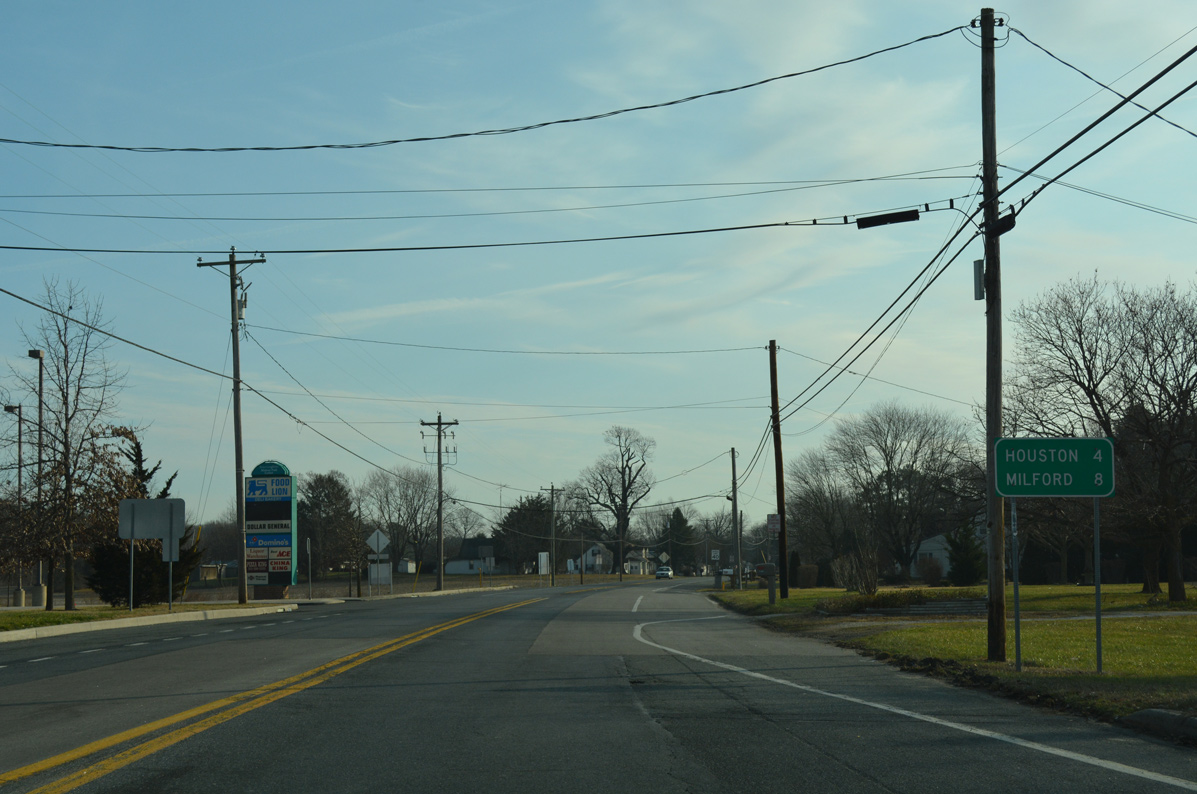
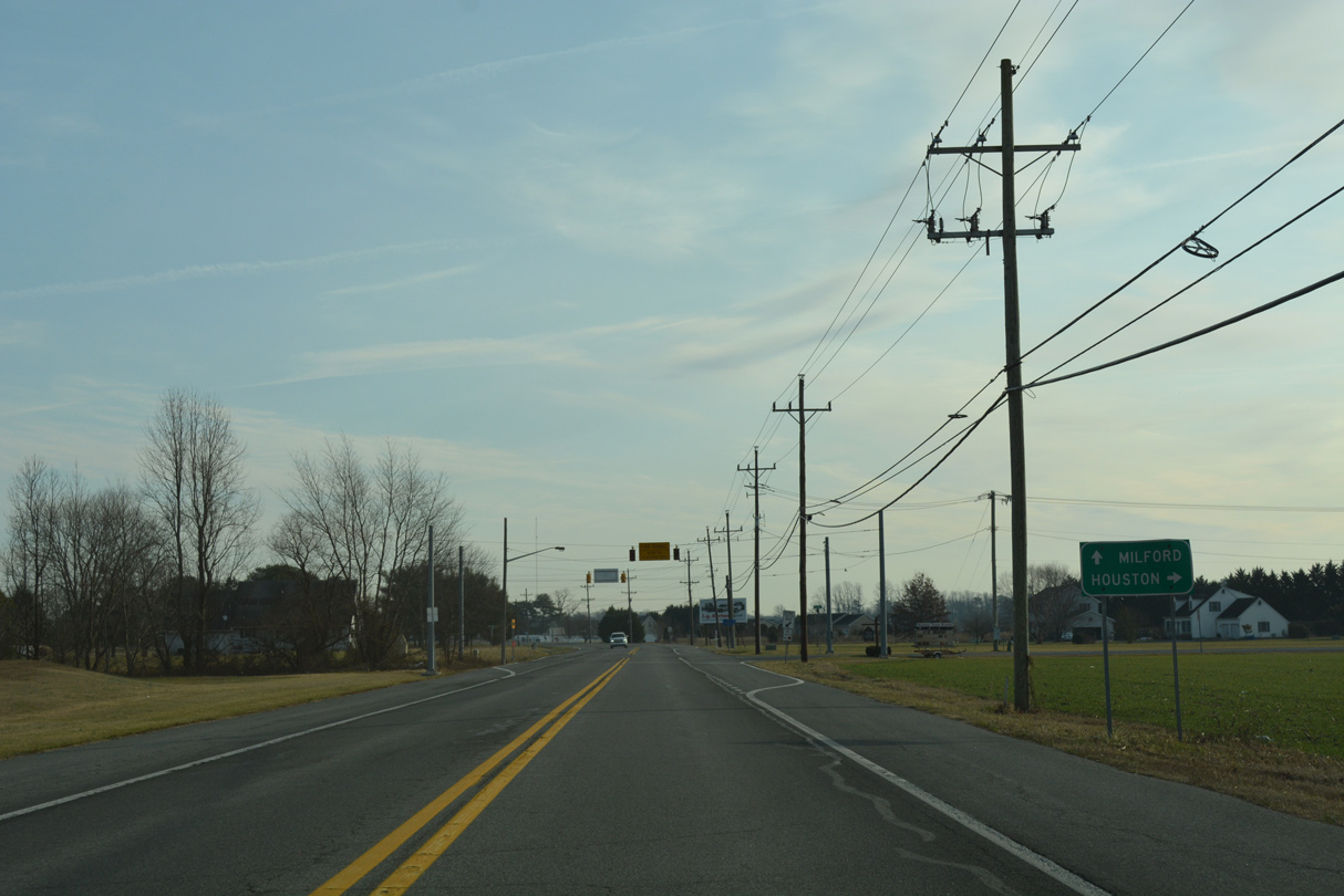
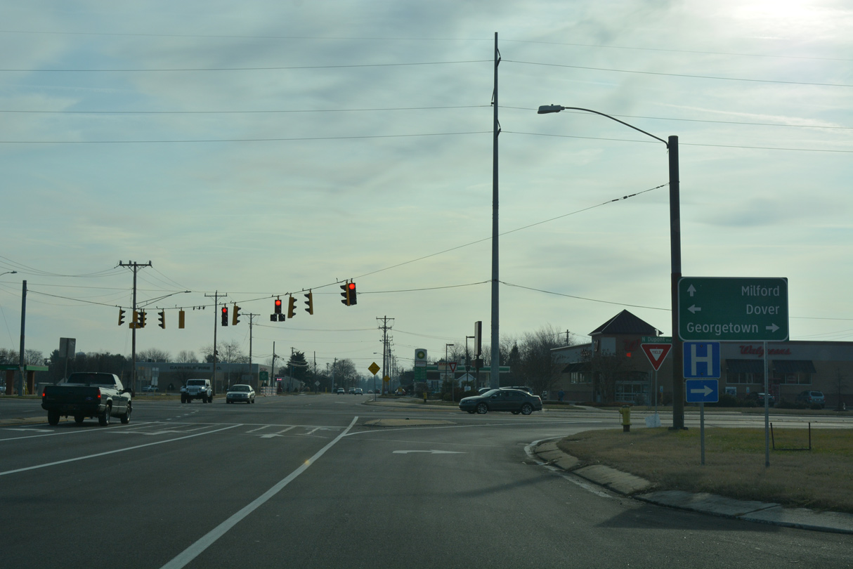
| The rural town of Houston is a four mile drive east from Harrington. SR 14 reaches Milford in eight miles. 01/16/17 |
|
| SR 14 straddles the Harrington city line east to Browns Branch and the split with Doctor Smith Road. 01/16/17 |
|
| The state route passes north of John Char Estates and intersects Old Airport and Butler Roads. A reassurance marker follows as SR 14 passes south of Lucky Estates. Old Airport Road references Harrington Airfield, which was located just north of Milford Harrington Highway on this stretch. 01/16/17 |
|
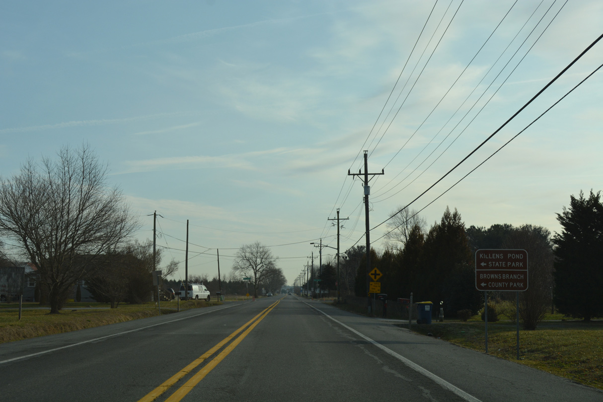
| Killens Pond Road meets SR 14 next to the south of both Killens Pond State Park and Browns Branch County Park at Marvels Crossroads. 01/16/17 |
|
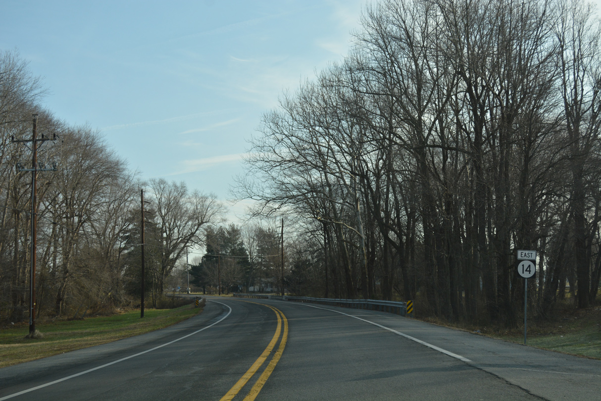
| SR 14 (Milford Harrington Highway) travels just north of Houston on the ensuing stretch to Broad Street. 01/16/17 |
|
| Broad Street stems south from SR 14 to the Houston town center. The Southfield development spreads east and south to the Houston town line nearby. 01/16/17 |
|
| Reassurance marker posted after SR 14 intersects Bloomfield Drive west back to Melvins. 01/16/17 |
|
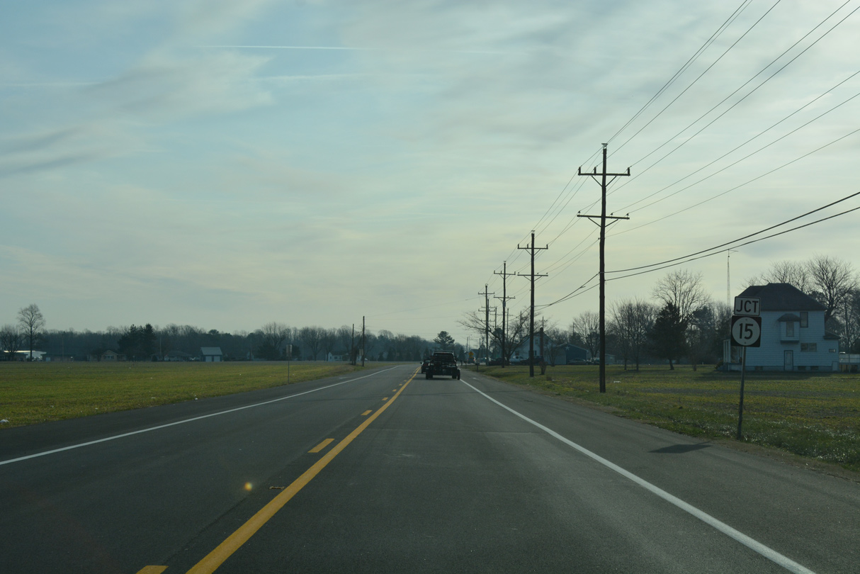
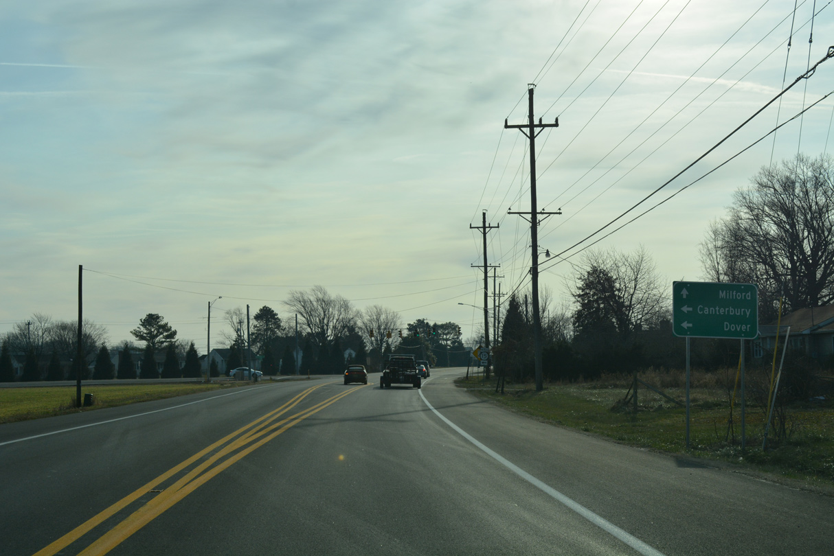
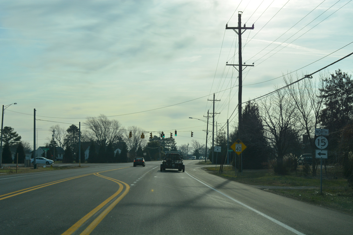
| SR 14 (Milford Warrington Highway) arcs southeast from Church Hill Village to enter western annexations of Milford ahead of SR 15 (Canterbury Road) north. 01/16/17 |
|
| SR 15 travels 10.14 miles northwest from SR 14 and Holly Hill Road to U.S. 13 (Dupont Highway) at the community of Canterbury. 01/16/17 |
|
| The third longest state route in Delaware, SR 15 goes for 57.05 miles from SR 14 (Milford Warrington Highway) through Woodside, Wyoming, Dover, Clayton and Middletown to SR 71/896 at Summit Bridge. 01/16/17 |
|
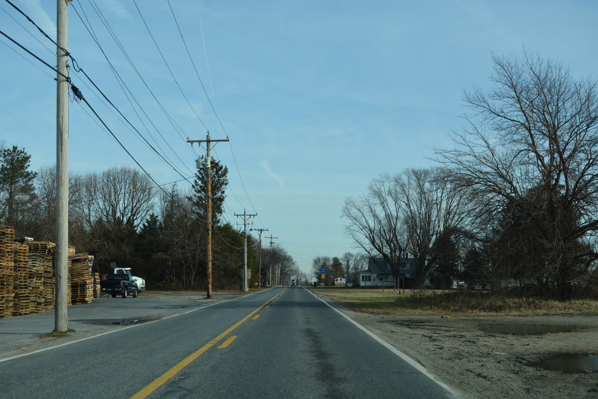
| Milford Harrington Road continues SR 14 southeast toward an industrial park area on the west side of Milford. 01/16/17 |
|
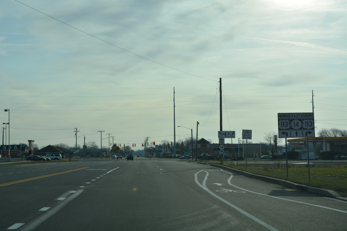
| Approaching U.S. 113 (Dupont Boulevard), SR 14 expands to include a continuous center turn lane by Milford Square shopping center. Beyond Dupont Boulevard, the state route shifts onto NW Front Street ahead of Silver Lake and Downtown. 01/16/17 |
|
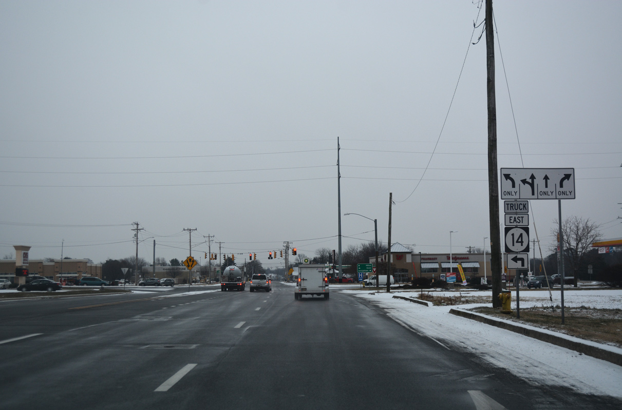
| Truck traffic along SR 14 east is directed northward along U.S. 113 (Dupont Boulevard) to circumvent Downtown Milford. 12/30/17 |
|
| U.S. 113 constitutes a commercial arterial northward from SR 14 to a wye interchange with SR 1 (Milford Bypass). Heading south, U.S. 113 (Dupont Boulevard) joins Milford with Georgetown in 15 miles. 01/16/17 |
|
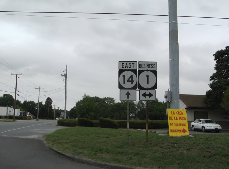
| NE Front Street angles SR 1 northeast from the Mispillion River to SR 1 Business (Rehoboth Boulevard). SR 1 Business branches west from SR 1 (Milford Bypass) along Rehoboth Boulevard and Walnut Street north to U.S. 113 (Dupont Boulevard). Prior to 1974, SR 14 followed Rehoboth Boulevard south to Coastal Highway and Rehoboth Beach. 08/05/07 |
|
| SR 14 on the rural segment of NE Front Street between SR 1 Business and SR 1 (Milford Bypass). 01/16/17 |
|
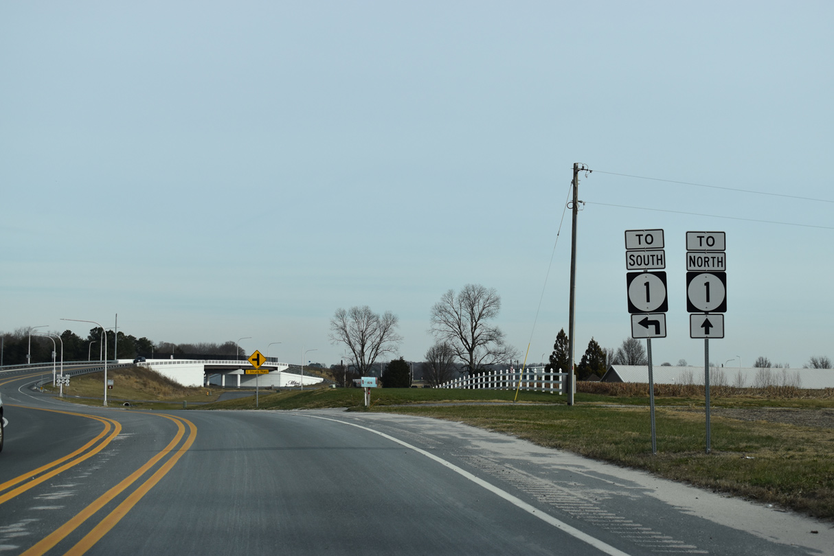
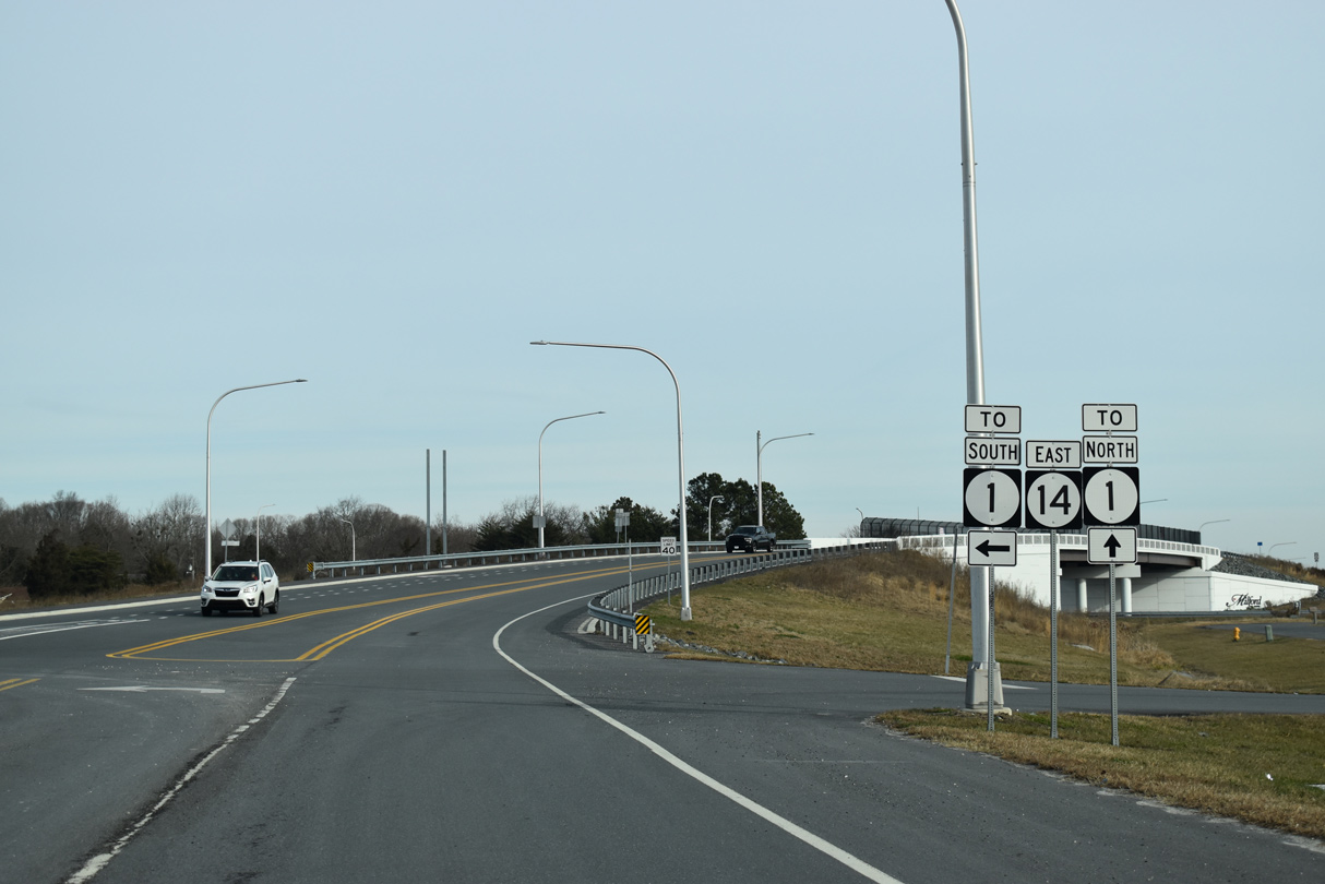
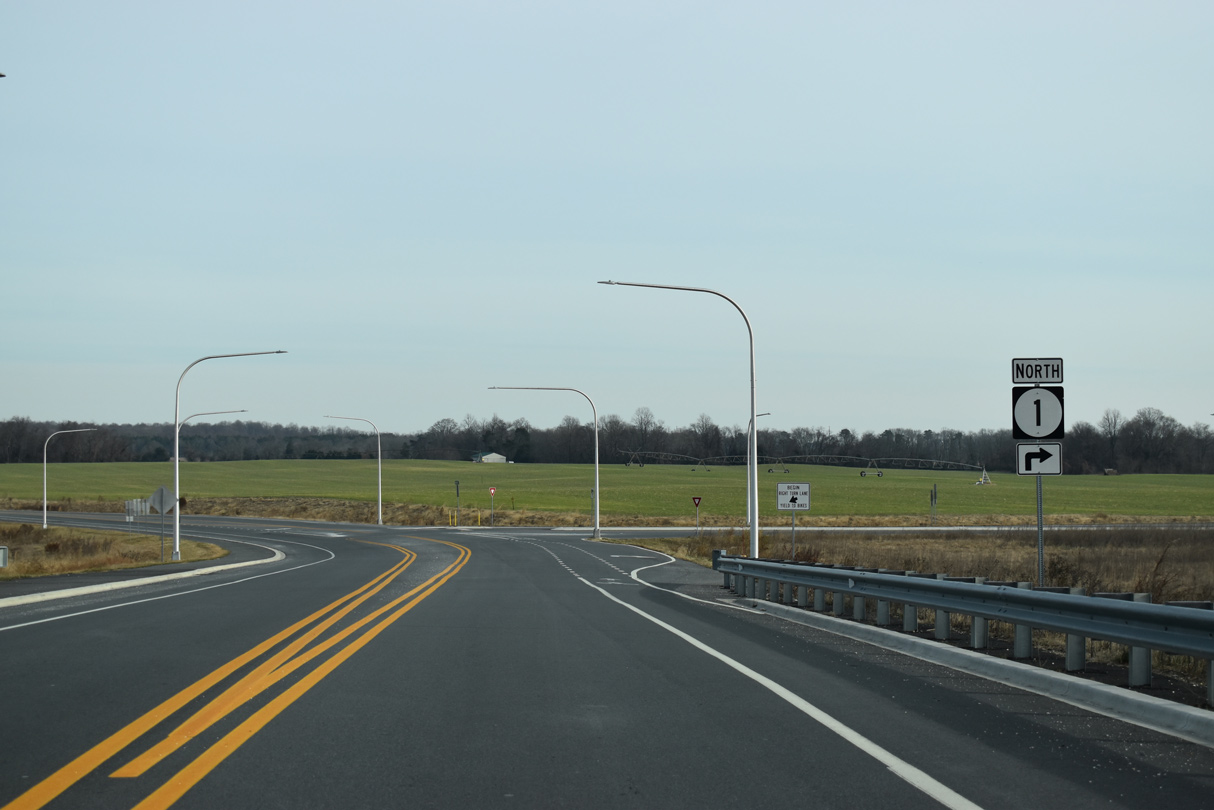
| SR 14 (NE Front Street) meets SR 1 (Milford Bypass) across from New Wharf Road (Rd 409) on the Milford city line. 12/19/20 |
|
| SR 1 circles around the east side of Milford along an expressway north to Frederica and Dover and south to Argo Corners and the Lewes area. 12/19/20 |
|
| Construction from February 2018 to August 2019 built a grade separated intersection joining the east end of SR 14 (NE Front Street) with SR 1 (Milford Bypass). 12/19/20 |
|
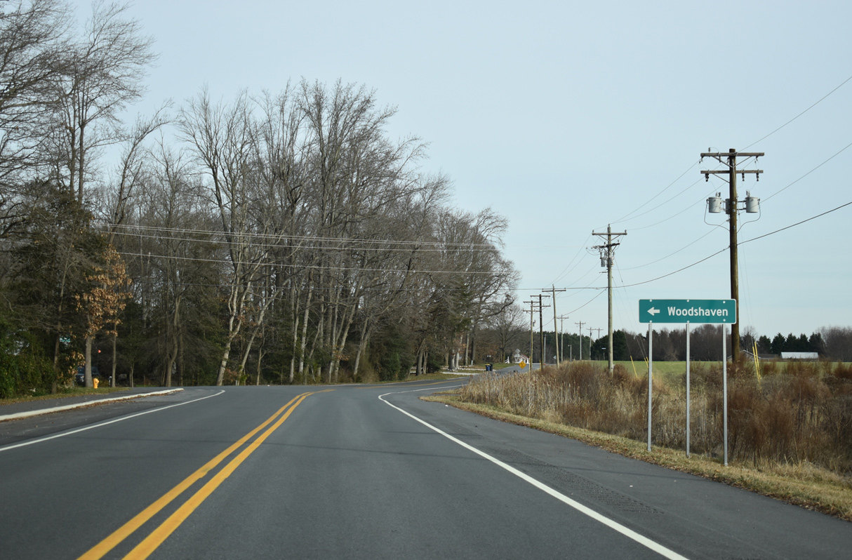
| New Wharf Road loops northeast from SR 14 and the Woodshaven neighborhood to cross Swan Creek at New Wharf and northwest to SR 1 (Bay Road). 12/19/20 |
Page Updated 02-26-2021.


 East
East