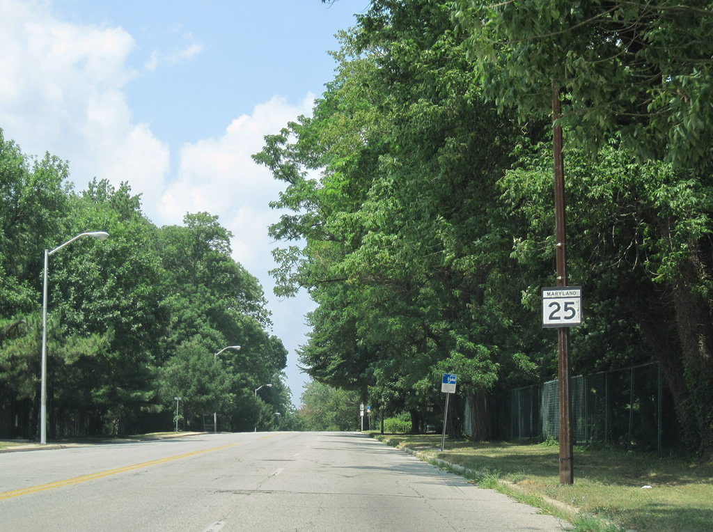
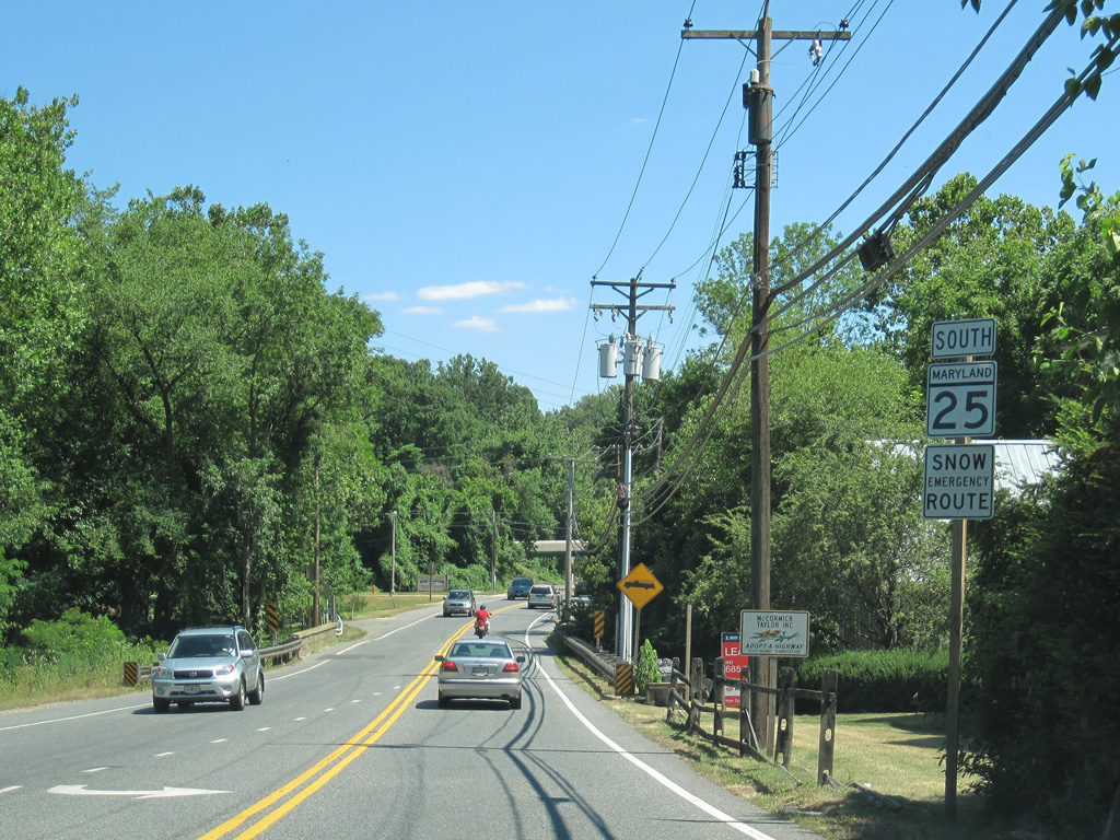
A nearly 27 mile route, MD 25 originates in Baltimore from MD 2 along the couplet of St. Paul and Calvert Streets, and parallels I-83 and Jones Falls along Falls Road northward to Brooklandville in Baltimore County. MD 25 extends north from the Jones Falls Expressway to Butler, Armacost and Beckleysville Road near the rural community of Albantown.
|
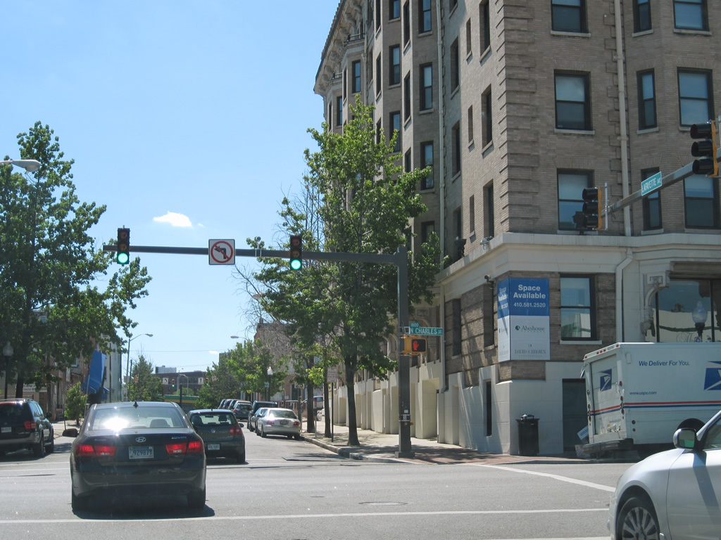
| MD 25 begins at the Lafayette Street westbound intersection with MD 2 (Calvert Street) north. 07/02/10 |
|
| A closer look at the erroneous circle shield posted for MD 25's northbound beginning at Calvert Street. 07/02/10 |
|
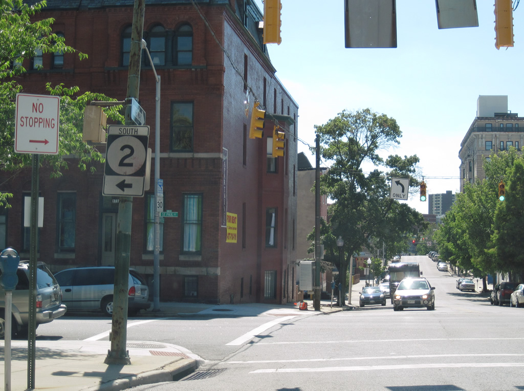
| MD 2 travels St. Paul Street south from U.S. 1 (North Avenue) to Mount Vernon and downtown Baltimore. MD 25 (Lafayette Street) drivers see a second circle shield, posted for the southbound route. 07/02/10 |
|
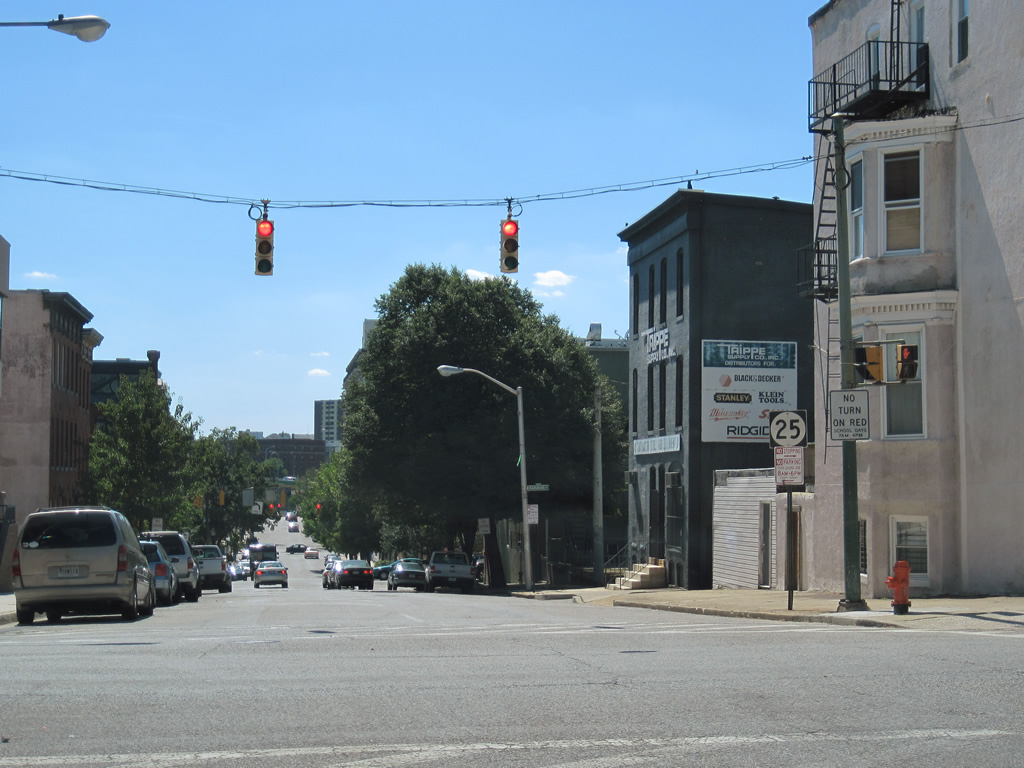
| Charles Street flows north from the University of Baltimore and Penn Station (AMTRAK) across MD 25 (Lafayette Street) north to U.S. 1 (North Avenue) and Johns Hopkins University (as MD 139). 07/02/10 |
|
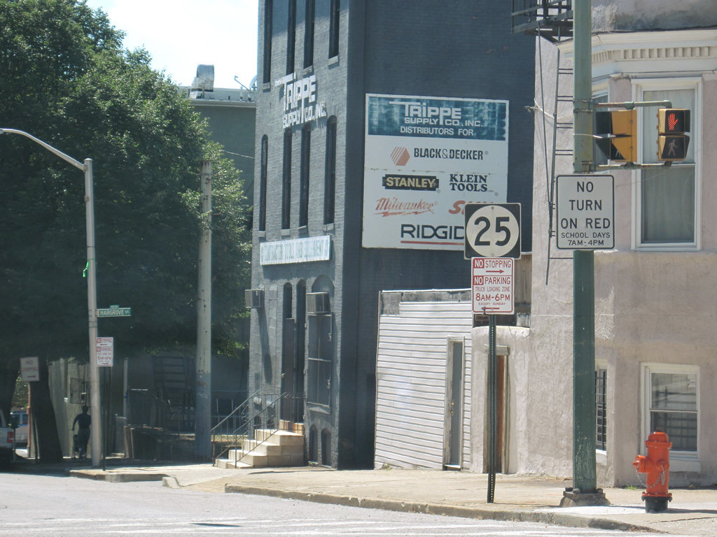
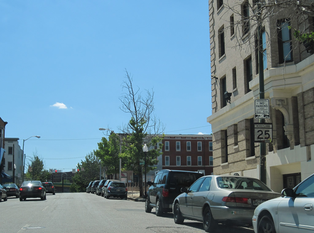
| A reassurance marker for MD 25 follows on Lafayette Street west after Charles Street. 07/02/10 |
|
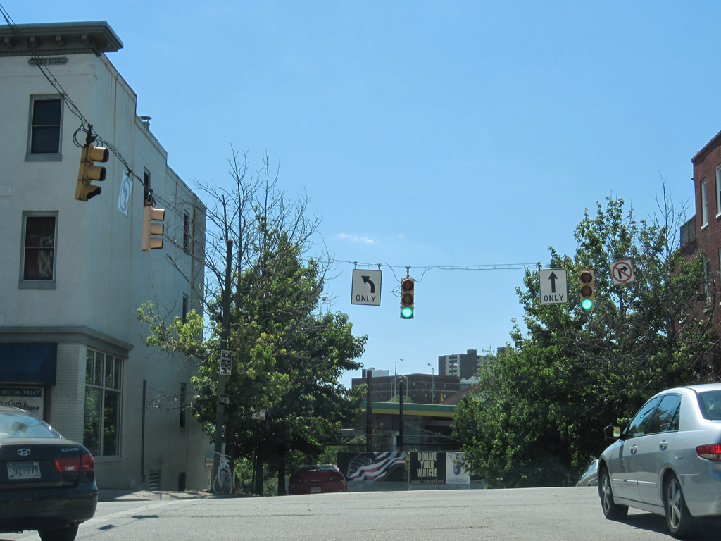
| The one way street couplet of Lafayette Street (north) and Lanvale Street (south) combine west of Maryland Avenue to form Falls Road. 07/02/10 |
|
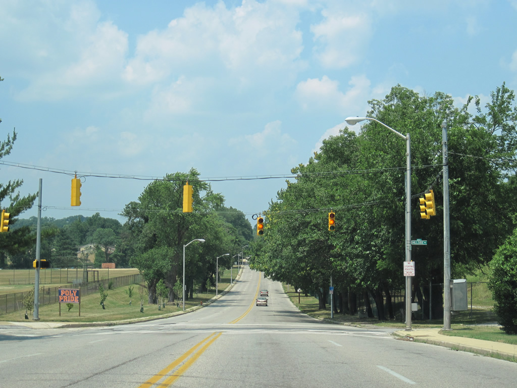
| North of Cold Spring Lane, MD 25 (Falls Road) travels by a pair of high schools and intersects Hillside Road and Centennial Way. 06/27/10 |
|
| Reassurance shield for MD 25 posted between Hillside and Harvest Roads on Falls Road northbound. 06/27/10 |
|
| MD 25 (Falls Road) next intersects Cross Keys Road, the entrance to the Village of Cross Keys. 06/27/10 |
|
| Northern Parkway crosses paths with MD 25 (Falls Road) just east of Interstate 83 (Exit 10) and west of the Roland Park North neighborhood. The parkway arcs across northern reaches of Baltimore between MD 26 (Liberty Heights Avenue) and U.S. 1 (Bel Air Road). 06/27/10 |
|
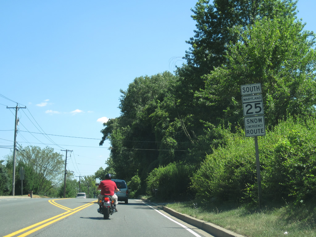
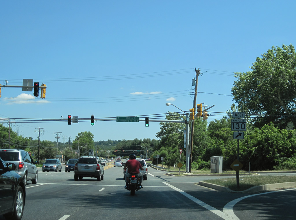
| MD 25 shifts from the two lane Falls Road to overtake the north end of the Jones Falls Expressway at Joppa Road. The state highway quickly intersects MD 130 (Greenspring Road) west at Station Drive. 08/27/05 |
|
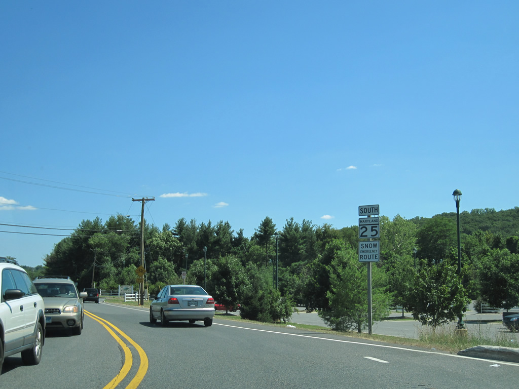
| Heading south from the intersection with MD 131 (Seminary Road) on MD 25 (Falls Road) to Brooklandville. 07/02/10 |
|
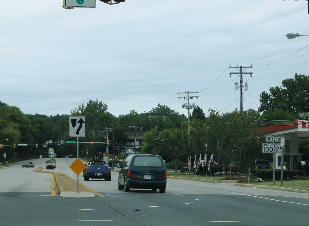
| MD 130 begins and follows Greenspring Valley Road west from MD 25 at Brooklandville. MD 130 arcs 5.57 miles west along a rural route to Stevenson, Chattolanee and MD 140 (Reisterstown Road) at garrison. 07/02/10 |
|
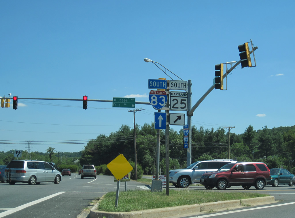
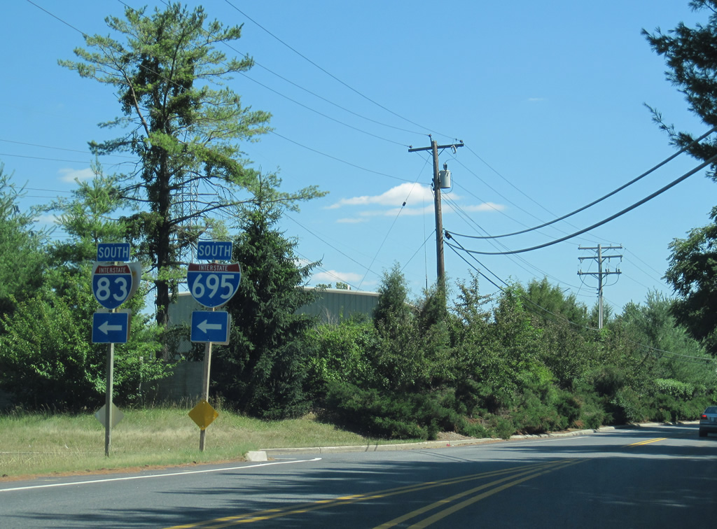
| MD 25 (Falls Road) meets Joppa Road east and the southbound beginning of the Jones Falls Expressway next. Falls Road shifts west and parallels the fledgling freeway south to a crossing over Interstate 695. The freeway meets the Baltimore Beltway at the Interstate 83 southbound split with Interstate 695 west. Joppa Road angles southeast to Riderwood before eventually reaching Towson. 07/02/10 |
|
| Falls Road lines Meadowood Regional Park and the Jones Falls Expressway to a crossing of Jones Falls. 07/02/10 |
|
| An on-ramp joins Jones Falls Expressway southbound for motorists emanating from MD 25 north and the regional park. MD 25 otherwise enters a forested area west of the Interstate 83-695 directional cloverleaf interchange. 07/02/10 |
|
| MD 25 lowers to meet the east end of MD 133 (Old Court Road) at Rockland. 07/02/10 |
|
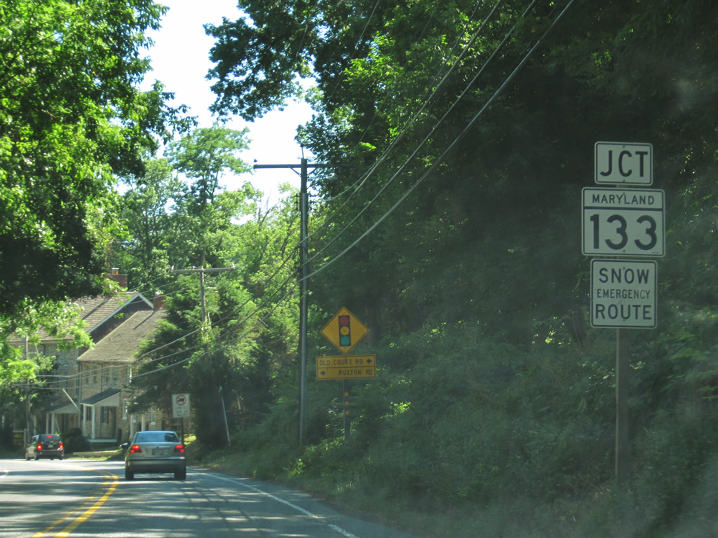
| MD 133 (Old Court Road) stems west from MD 25 (Falls Road) at Ruxton Road. Ruxton Road sees a half diamond interchange with Interstate 83 south (Exit 12) nearby. MD 133 constitutes a 3.31 mile route west to MD 129 (Park Heights Avenue) at Dumbarton. 07/02/10 |
|
| Continuing south from MD 133, Falls Road crosses Jones Falls for the second time. 07/02/10 |
|
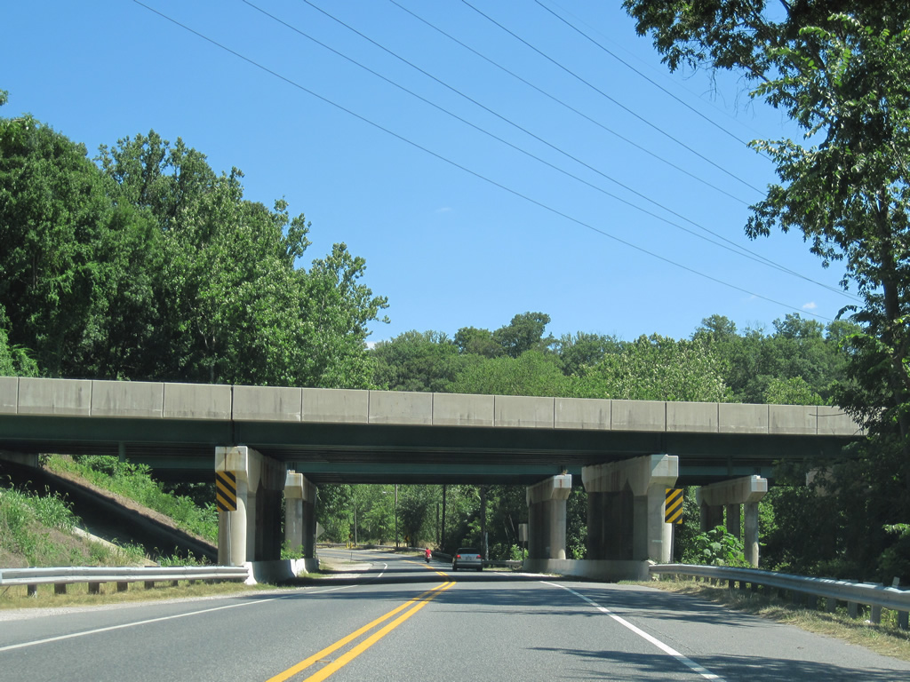
| Passing under Interstate 83 (Jones Falls Expressway), south of the Ruxton Road on-ramp. There is no direct access between the freeway and MD 25 until near Druid Hill Park in Baltimore. 07/02/10 |
|
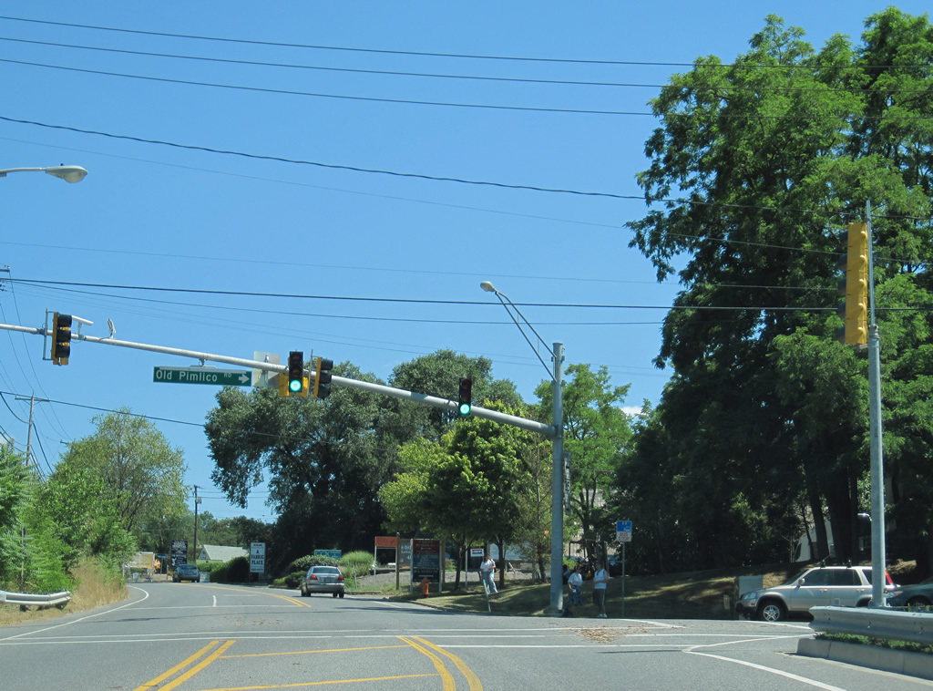
| Old Pimlico Road curves southwest from MD 25 at Robert E. Lee Park to Pimlico Race Course in Baltimore. 07/02/10 |
|
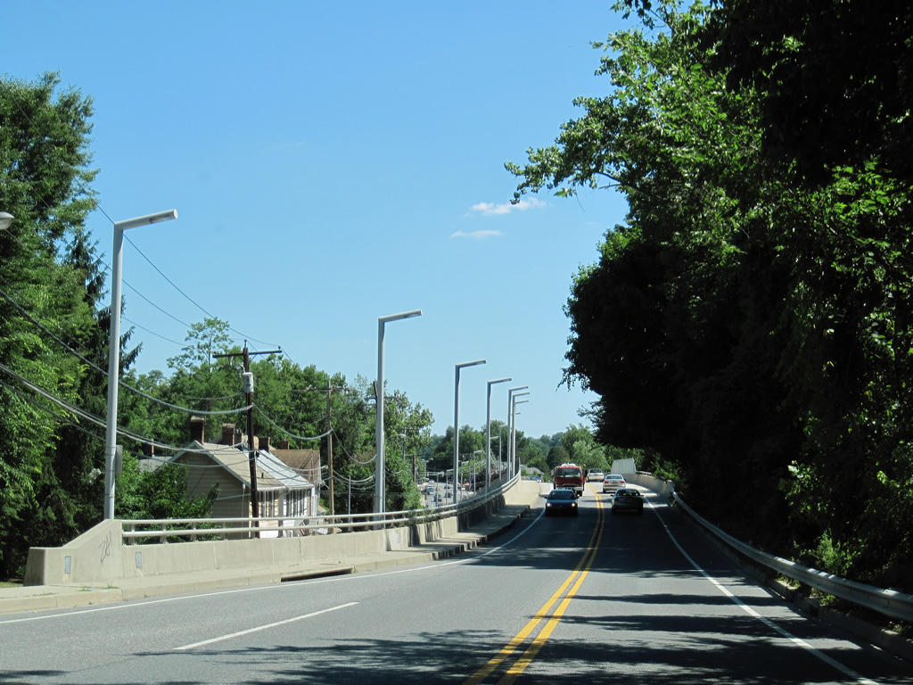
| Rising along a viaduct over a MARC line and Jones Falls at Bare Hills near the Baltimore city line. The Falls Road MARC Station lies below the MD 25 overpass. 07/02/10 |
|
| Lake Avenue ventures east from MD 25 (Falls Road) to Homeland and Cedarcroft in northern Baltimore. 07/02/10 |
|
| Approaching the Baltimore city line, just south of Lake Avenue, on MD 25 (Falls Road) southbound. 07/02/10 |
|
| MD 25 travels just above Jones Falls to the intersections with Smith and Kelly Avenues west. 07/02/10 |
|
| Kelly Avenue joins MD 25 (Falls Road) with Cross Country Boulevard at the Mount Washington community west of Interstate 83. 07/02/10 |
|
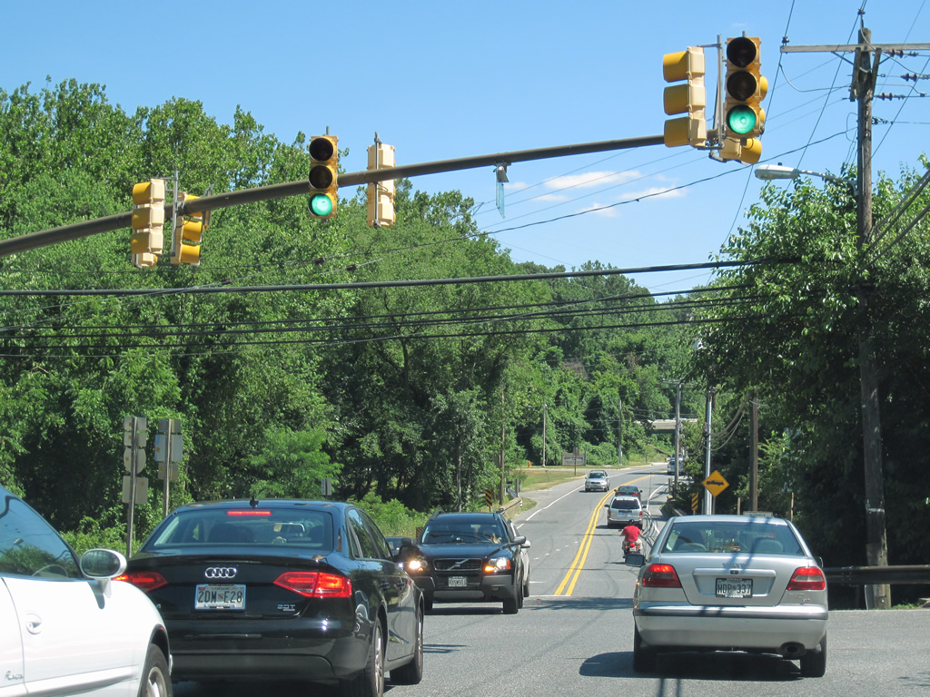
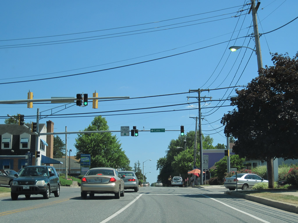
| A short distance south of Kelly Avenue is the signalized intersection with Northern Parkway. Northern Parkway constitutes the main east-west arterial through north Baltimore. The four to six lane parkway joins Interstate 83 (Exit 10) with Pimlico to the west and Overlea to the east. 07/02/10 |
|
| MD 25 south leaves Falls Road for Lanvale Street at Maryland Avenue for its final three blocks. Pictured here is the intersection with Charles Street north. 07/02/10 |
|
| MD 25 south next intersects MD 2 (St. Paul Street) southbound. MD 2 travels south along St. Paul Street to Mount Vernon and the central business district. Northbound parallels along Calvert Street, one block to the east, to end at U.S. 1 (North Avenue) nearby. 07/02/10 |
Page Updated 04-14-2011.