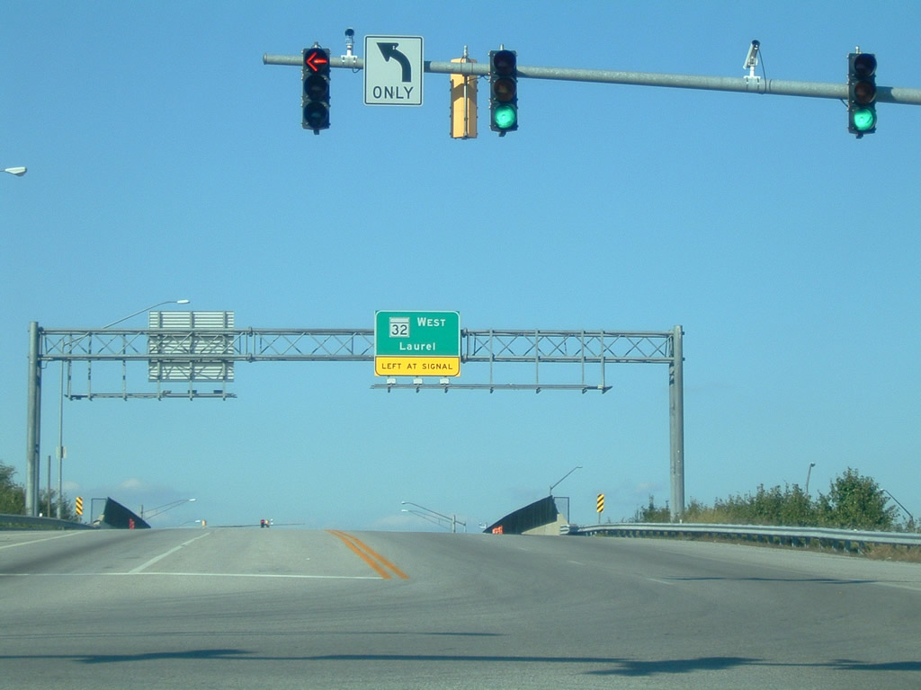
MD 32 is a 51.79 mile route stretching southeast from the south city line of Westminster to MD 178 near Crownsville. The bulk of the route follows the Patuxent Freeway, which runs from Clarksville southeast to Interstate 97. Upgrade of the highway to limited access standards through Fort Meade was completed in October 2004.
|
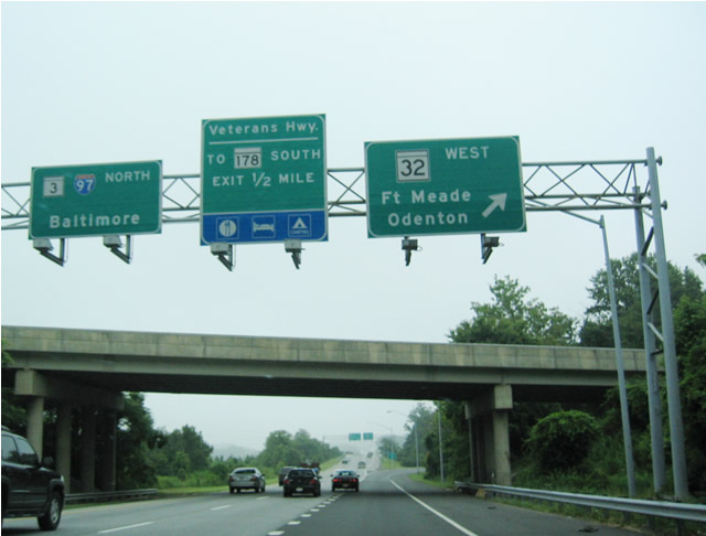
| MD 3 (Robert Crain Highway) northbound at MD 32 and Interstate 97 near Millersville. MD 3 ends at its merge with I-97 one half mile ahead. Interstate 97 replaced the state route north of Millersville to Glen Burnie. MD 32 branches west as a full freeway to Odenton and Fort George G. Meade. 06/07/04 |
|
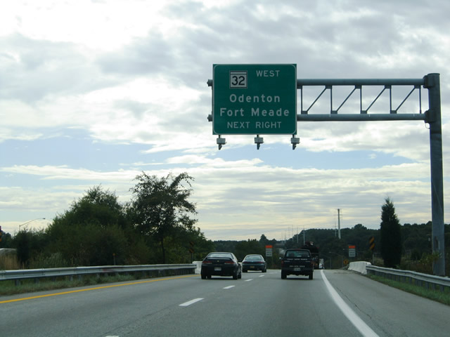
| MD 3 (Robert Crain Highway) separates and begins from Interstate 97 at Exit 7. MD 3 proceeds southwest to Conaways, Crofton and Bowie as I-97 veers southeast to Annapolis. MD 32 ties into I-97 just south of the split with MD 3. Traffic from Interstate 97 south to MD 32 must use MD 3 south to make the connection for Odenton and points west. 06/07/04 |
|
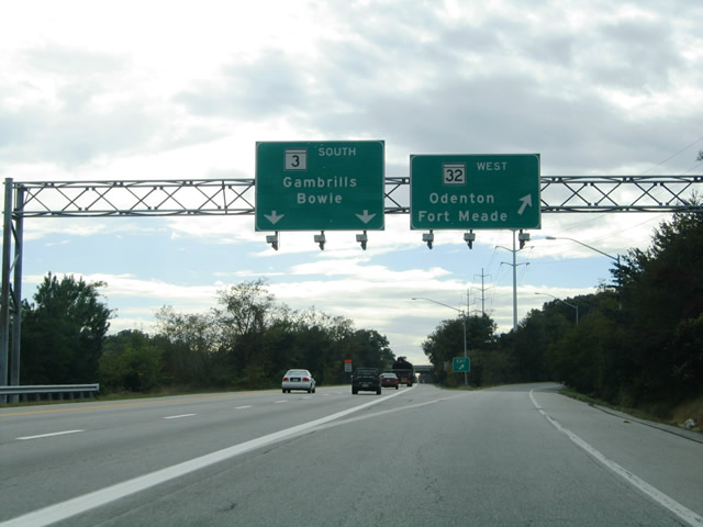
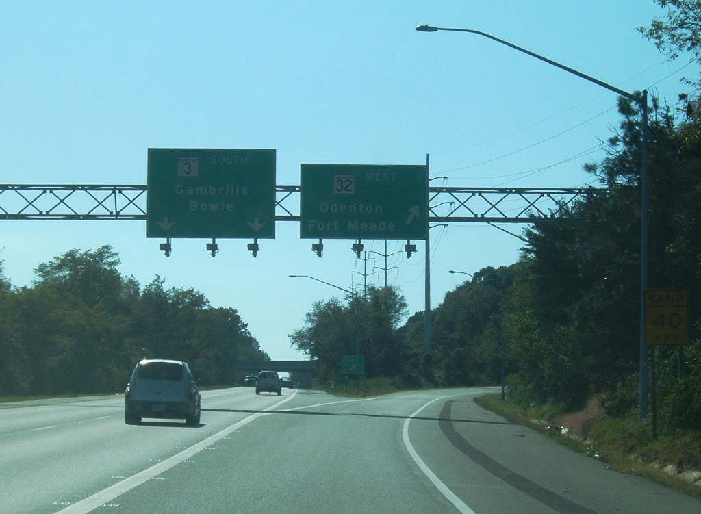
| A three-quarter cloverleaf-interchange joins MD 3 (Robert Crain Highway) with MD 32 (Patuxent Freeway). Pictured here is the westbound ramp to MD 32 for Odenton, Fort Meade, Savage and Columbia. MD 3 transitions into a surface arterial south of MD 32 en route to MD 175 (Annapolis Road / Millersville Road) near Gambrills. 06/07/04, 10/04/09 |
|
| Dorsey Run Road north at the parclo interchange (Exit 11) with MD 32. A loop ramp carries drivers onto the freeway east to Baltimore-Washington Parkway and Fort Meade. 10/04/09 |
|
| MD 32 shield and guide sign assembly posted at the Dorsey Run Road on-ramp to the freeway eastbound. MD 32 west reaches U.S. 1 next. 10/04/09 |
Page Updated 06-05-2014.