|
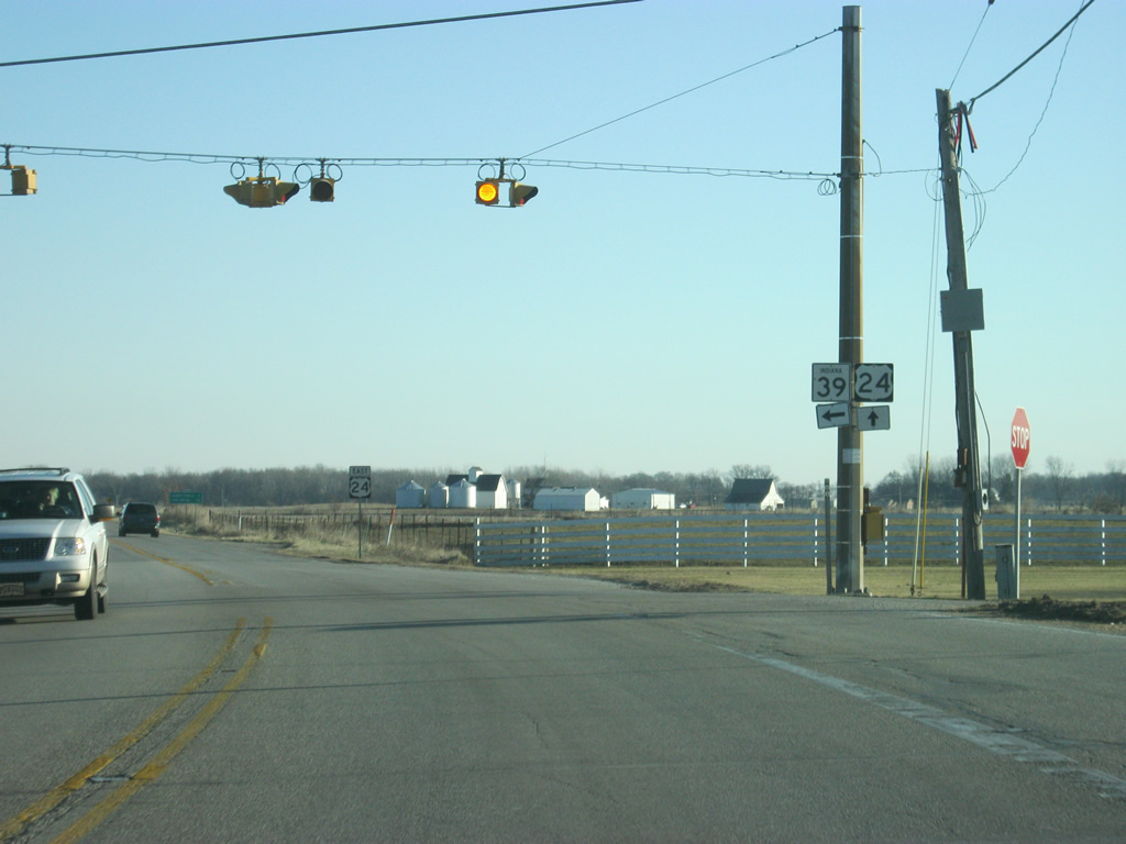
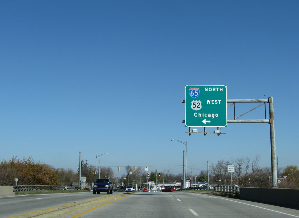
| SR 39 approaches the city of Lebanon and meets I-65/U.S. 52 on the southwest side of town. The north-south freeway joins the Boone County seat with Indianapolis to the southeast and Lafayette to the northwest. 11/05/09 |
|
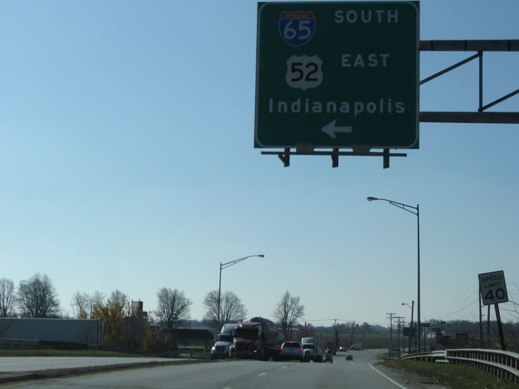
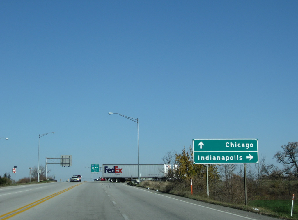
| U.S. 52 combines with Interstate 65 south at Exit 141 in Lebanon and follows the freeway to Interstate 865 east at Exit 129. 11/05/09 |
|
| Drivers bound for Chicago join Interstate 65 north to either I-80/94 (Frank Borman Expressway) west or the Indiana Toll Road (Interstate 90 west) to the Chicago Skyway via I-65's conclusion. 11/05/09 |
|
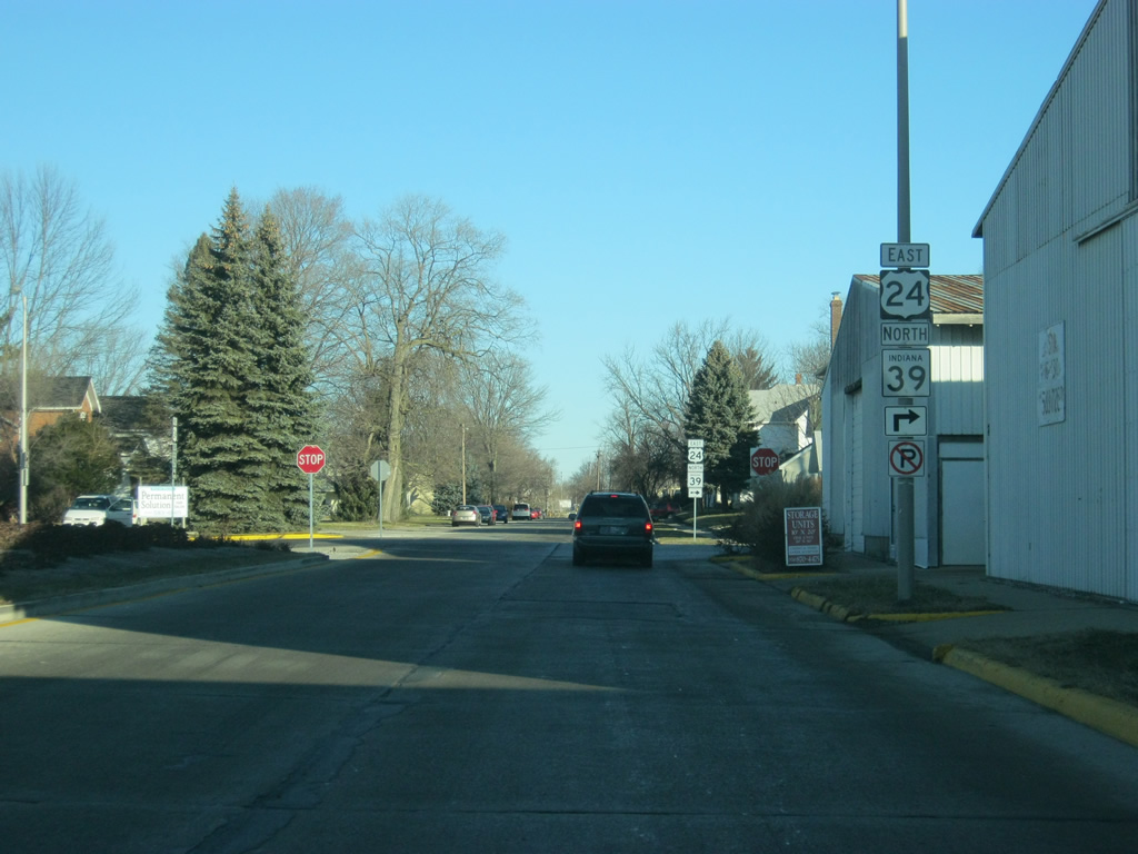
| U.S. 24 east/SR 39 north follow Railroad Street one block to the north to Washington Street. As the name suggest, a railroad used to be present in the median of this street, but that railroad has since been removed. The boulevard-like road that it left behind made it suitable for a reroute of both U.S. 24 and U.S. 421 around Downtown Monticello. 04/13/10 |
|
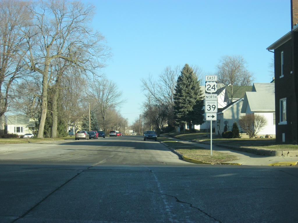
| Railroad Street continues to the north while U.S. 24 and SR 39 north follow Washington Street to the east. 04/13/10 |
|
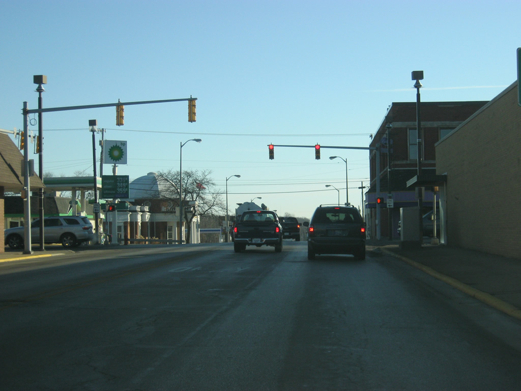
| Heading east along U.S. 24 east/SR 39 north (Washington Street) through Downtown Monticello. One block east of Railroad Street is Illinois Street, which carries traffic southbound through the downtown. One block east of there is Main Street, which used to be a two-way road but now carries two lanes of traffic northbound toward the Lake Shafer area. 04/13/10 |
|
| Now east of Main Street, U.S. 24 east/SR 39 north (Washington Street) leave the Downtown Monticello area as they prepare to cross the Tippecanoe River, which links Lake Shafer to the north with Lake Freeman to the south. 04/13/10 |
|
| U.S. 24 east/SR 39 north leave Downtown Monticello on a bridge across the Tippecanoe River. This bridge is slated for replacement by a newer span that will be placed just north of the current bridge. This new bridge is part of a project that will also realign the highway to the east of the river. Construction will begin in 2013 with completion expected in 2015.1 04/13/10 |
|
| U.S. 24 & SR 39 make a sharp turn to the north beyond the bridge over the Tippecanoe River. Washington Street continues east at the tandem veer in a north-northeast direction. This turn will also be improved as part of the aforementioned project to reconstruct the bridge over the Tippecanoe River. 04/13/10 |
|
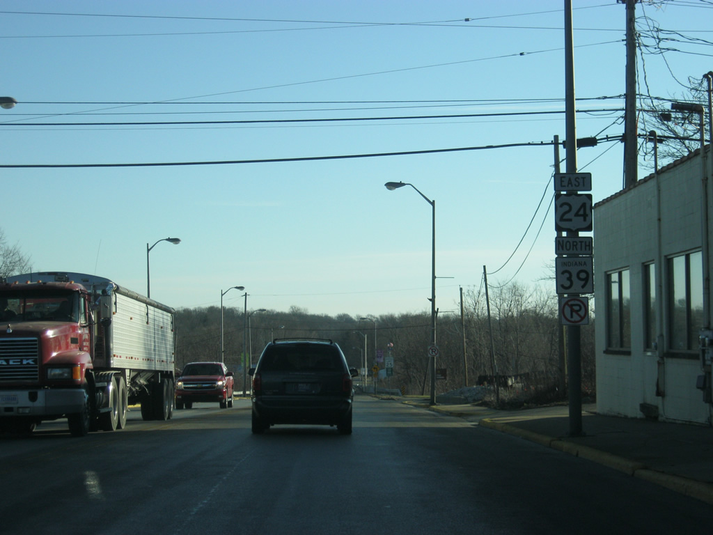
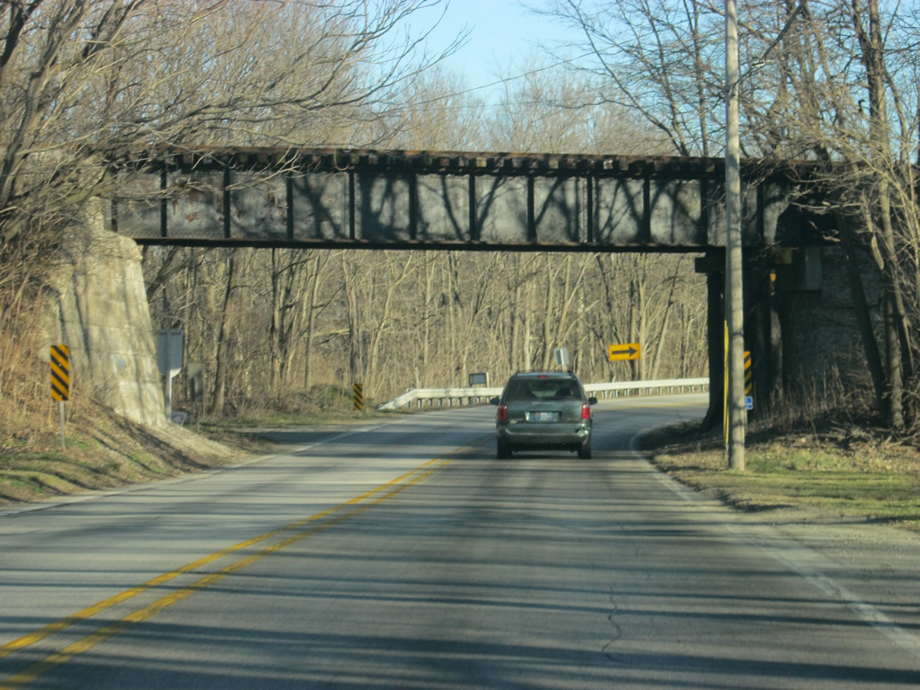
| U.S. 24 east/SR 39 north passes underneath the Toledo, Peoria and Western Railway bridge as it heads east out of the Monticello area. 04/13/10 |
|
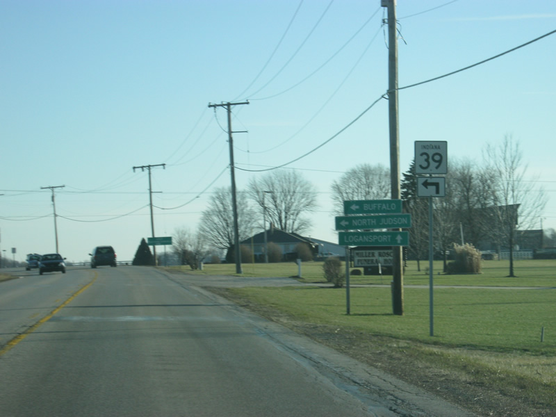
| Leaving the Monticello area, we are now approaching the split between U.S. 24 and SR 39 north. The towns of Buffalo and North Judson can be reached by taking SR 39 to the north. Logansport is the next major community along U.S. 24 to the east. 04/13/10 |
|
| SR 39 leaves to the north while U.S. 24 continues to the east. 04/13/10 |
|
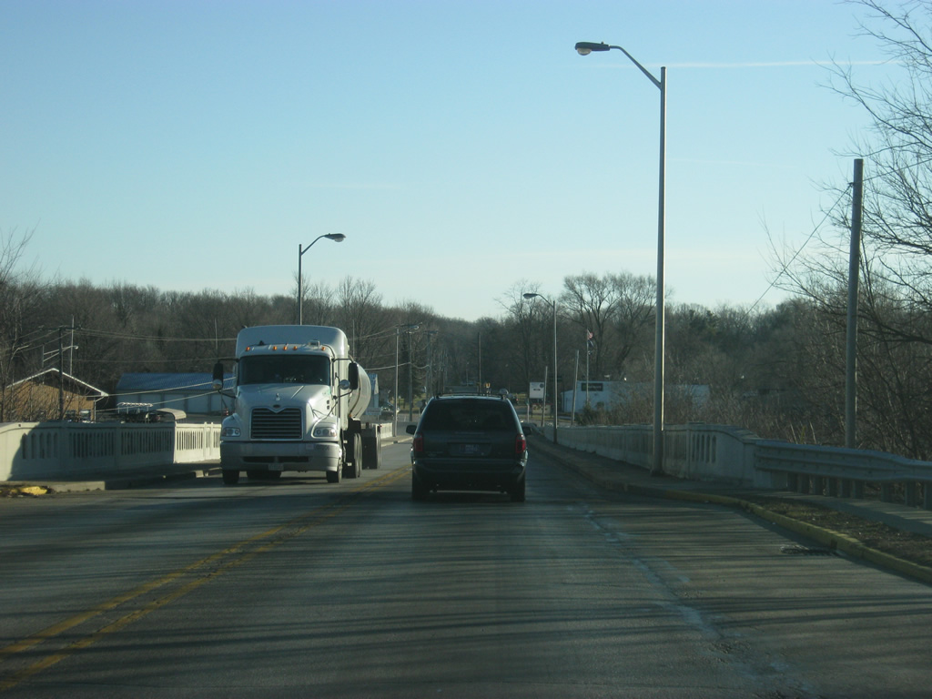
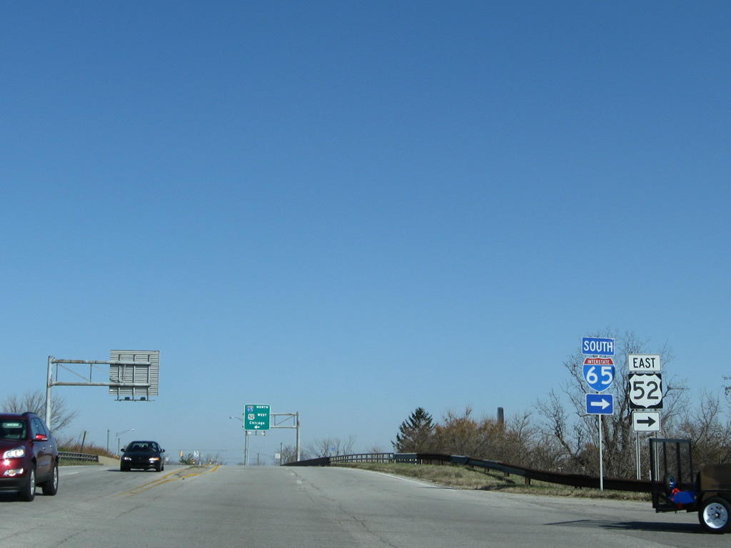
| SR 39 passes over I-65/U.S. 52 at Lebanon and approaches the southbound on-ramp to Indianapolis. 11/05/09 |
|
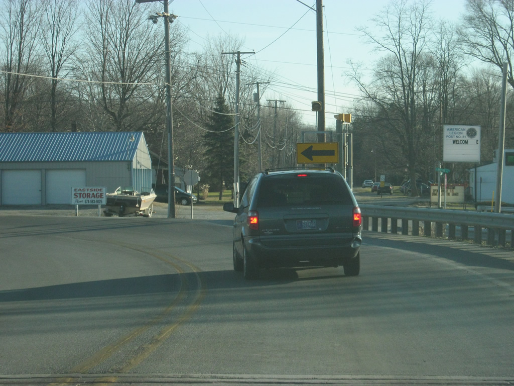
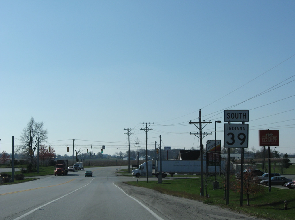
| Reassurance marker for SR 39 south posted as the state road leaves Interstate 65. A truck stop follows as SR-39 passes by a large industrial park. 11/05/09 |
Page Updated 03-28-2012.

 East
East