|
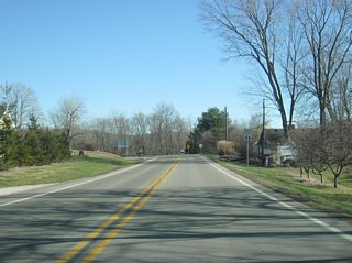
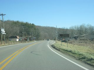
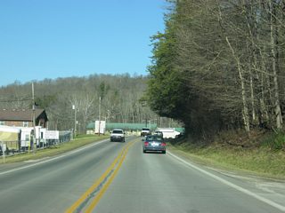
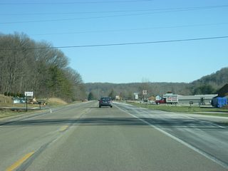
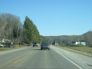
| SR 46 enters the town of Belmont in western Brown County. The trip along SR 46 through Brown County can become quite scenic in the fall when the leaves change their colors. 12/29/11 |
|
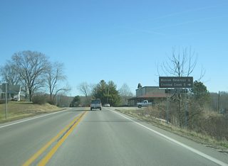
| Within Belmont, SR 46 intersects T.C. Steele Road, which leads south to the T.C. Steel State Historic Site (2 miles from here), the eastern part of Monroe Reservoir and Crooked Creek Lake (5 miles from here). 12/29/11 |
|
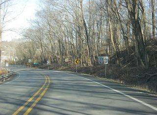
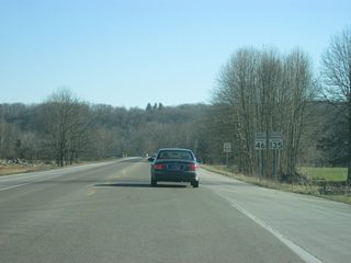
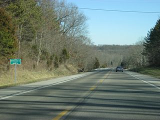
| A reassurance shield for SR 46 as the highway leaves Belmont. 12/29/11 |
|
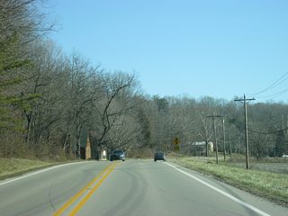
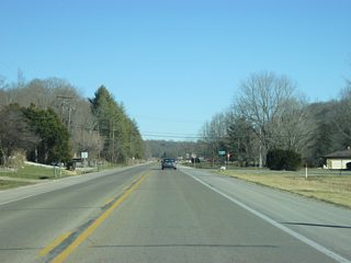
| SR 46 heads east from Belmont toward the next major intersection, with Yellowwood Road. 12/29/11 |
|
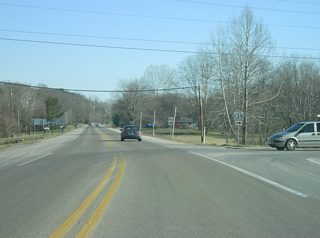
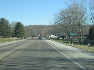
| Now at the intersection with Yellowwood Road which leads to Yellowwood State Forest. The state forest offers primitive camping conditions for those who seek an alternative to the more modern Brown County State Park, as well as fishing along Yellowwood Lake. 12/29/11 |
|
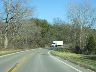
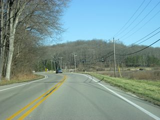
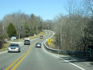
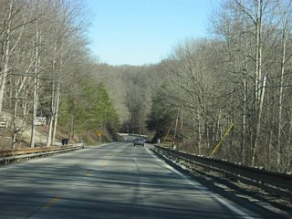
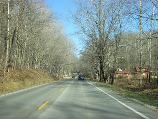
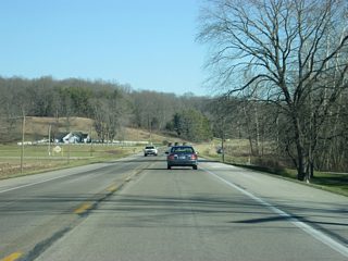
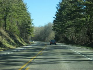
| East of the intersection with Yellowwood Road, SR 46 continues to go around the hills of Brown County. The first few miles of SR 46 within the county follow the Salt Creek valley. East from the Somerset Lake area however, SR 46 branches southward along Lower Schooner Creek before turning northeast onto a ridge that spans the central part of Brown County. 12/29/11 |
|
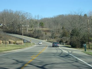
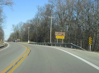
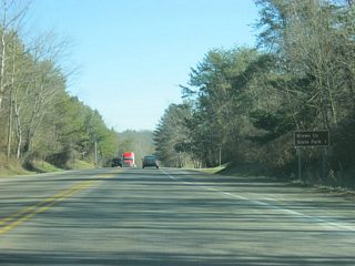
| Up ahead is the West Entrance for Brown County State Park. At 15,776 acres, Brown County State Park is the largest state park in Indiana and by far the most-visited, bringing in one million visitors a year. The park is formed along the many ridges and valleys of the Knobstone Escarpment that forms the heart of the Brown County hill system. Those who are visiting with RVs and Trucks are directed to use the West Entrance into the park since the North Entrance has some clearance issues that might affect those vehicles. 12/29/11 |
|
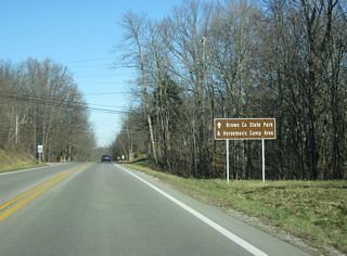
| Still nearing the West Entrance, a sign directs travelers to the Brown County State Park (main entrance) and the Horseman's Camp Area, which be reached via SR 46 and SR 135 south to the east of Nashville. 12/29/11 |
|
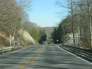
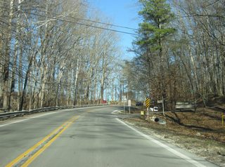
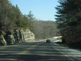
| East of the West Entrance into Brown County State Park, SR 46 takes a northeasterly trajectory around the western boundaries of the state park. The state road scales the ridge of the Knobstone Escarpment, including Kelly Hill, before lowering back into the Salt Creek Valley ahead of Nashville. 12/29/11 |
|
| SR 46 approaches the intersection with SR 135 north. SR 135, originally SR 35, goes for nearly 139 miles from the Ohio River in Mauckport through Corydon, Salem, Brownstown and Nashville before heading north to its end in Indianapolis at U.S. 31. 12/29/11 |
|
| SR 46 curves northward and enters the town of Nashville (population 803). Nashville is Brown County's seat and largest community. It is also the center of the Brown County Art Colony and includes some of the most popular tourist attractions in the state with its many shops and restaurants that surround Downtown. 12/29/11 |
|
| At the upcoming stoplight, SR 46 will turn to the east along with SR 135 south. As SR 46 crosses the North Fork Salt Creek, the town of Nashville opens up. Those bound for Downtown Nashville should continue straight onto Van Buren Street, which carries SR 135 north toward Beanblossom, Morgantown, Trafalgar, Greenwood and Indianapolis. 12/29/11 |
|
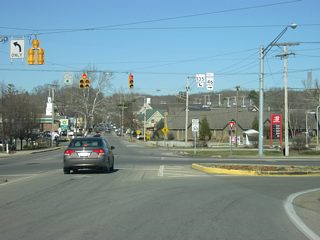
| Now at the three-way intersection with Van Buren Street (SR 135 north) and the SR 46 turn onto SR 135 south. Traffic bound for the Brown County State Park's North Entrance and Horseman's Camp Area and Columbus should hook a right onto the State Road pair. This stoplight is one of three that are located in all of Brown County. 12/29/11 |
|
| SR 46 east & 135 south head east from the main part of Nashville andd bypass the south side of town. 12/29/11 |
|
| The second of the three stoplights in Brown County governs the movements between SR 46 & 135 at Hawthorne Drive (the third stoplight resides in Downtown Nashville along SR 135 north). Brown County's only shopping center and McDonalds are among the attractions at the Salt Creek Plaza. 12/29/11 |
|
| SR 46 east & 135 south gain a climbing lane briefly as they pass the intersection with Snyder Road. Both the Brown County Fairgrounds and Art Gallery are located to the north from Snyder Road. 12/29/11 |
|
| The North Entrance to the Brown County State Park is now a mile away. 12/29/11 |
|
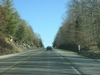
| Some rock cuts line the side of SR 46 & 135 on the approach to the first of two crossings of the North Fork Salt Creek. 12/29/11 |
|
| Eastbound SR 46 & 135 at the North Entrance to Brown County State Park. The entrance consists of the Ramp Creek Covered Bridge, which has a low clearance. This is why RVs and Trucks are directed to use the West Entrance. The Horseman's Camp Area is further down the road along SR 135 to the south. 12/29/11 |
|
| East of the North Entrance to Brown County State Park, Interstate 65 is 15 miles away along SR 46, followed by Columbus at 16 miles. 12/29/11 |
|
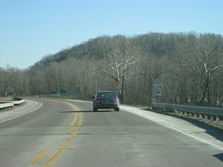
| Reassurance shields for both SR 46 and SR 135 posted at North Salt Creek Road. 12/29/11 |
|
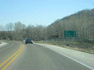
| Just beyond a third crossing of the Salt Creek North Fork is the partition of SR 135 south from SR 46 east. 12/29/11 |
|
| The small towns of Story and Freetown, as well as the Jackson County seat of Brownstown, can be reached via SR 135 to the south. SR 135 will curve several times over more of the Brown County hills country between SR 46 and Stone Head. 12/29/11 |
|
| Now at the split with SR 46 and SR 135 south. 12/29/11 |
|
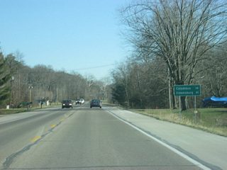
| Continuing east from SR 135, SR 46 is now 14 miles from Columbus and 41 miles from Greensburg in Decatur County at Interstate 74. 12/29/11 |
|
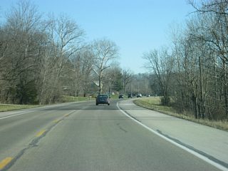
| SR 46 parallels Gnaw Bone Creek east from SR 135 and the North Fork of Salt Creek through a valley in the eastern part of Brown County. Unlike the stretch of SR 46 in the western half of the county across a number of hills, this stretch of roadway is much flatter. 12/29/11 |
|
| Among the more curious place names in the state, SR 46 enters the settlement of Gnaw Bone. 12/29/11 |
|
| Mount Liberty Road spurs south from SR 46 ahead of an eastbound reassurance marker for Mt. Liberty. The road splits with Valley Branch Road south to Downey Hill and SR 135 near Stone Head nearby. 12/29/11 |
|
| East of Gnaw Bone, SR 46 continues to wind its way through Gnaw Bone Creek valley to Clarksdale. East from Clarksdale, the state road follows Henderson Creek onto some hills ahead of the county line.
SR 46 from Bloomington to Columbus is usually listed among the most scenic highways in Indiana, which at times in Fall can bring heavy traffic. SR 46 for the most part still follows its original routing by following the curvature of the terrain that has made Brown County a special place for Hoosiers. 12/29/11 |
|
| SR 46 enters Bartholomew County (population 76,794). 12/29/11 |
Page Updated 05-03-2013.
