|
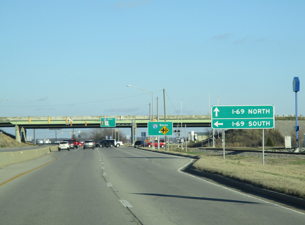
| SR 62 (Morgan Avenue) east at the interchange with Interstate 69 on the east side of Evansville. Interstate 69 in the Evansville area was given no control cities for northbound or southbound traffic. Likewise the former Interstate 164 also had no control points, only I-64 and U.S. 41. 01/01/16 |
|
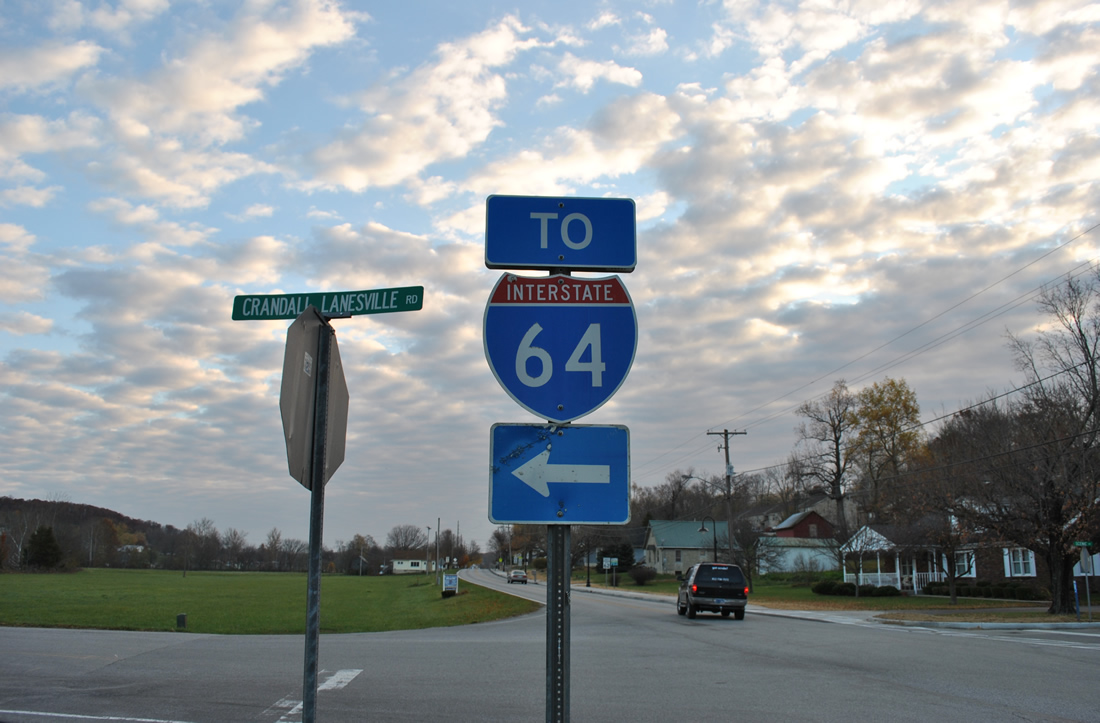
| SR 62 enters Lanesville and intersects the south end of Crandall Lanesville Road. An Interstate 64 trailblazer directs motorists northward to Exit 113 of the freeway. SR 62 continues east to Edwardsville while I-64 parallels to the north en route to New Albany. 11/07/11 |
|
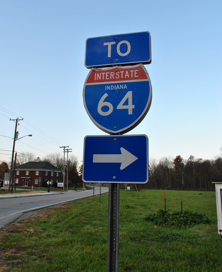
| What was a state-named shield (replaced by March 2012) directed traffic onto Crandall Lanesville Road north from SR 62. Crandall Lanesville Road winds 2.1 miles northwest to a diamond interchange with Interstate 64. 11/07/11 |
|
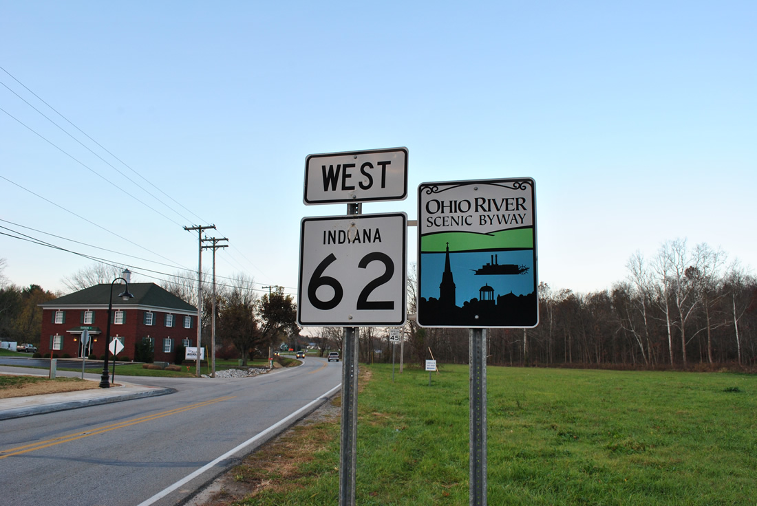
| Westbound reassurance marker posted after the SR 62 intersection with Crandall Lanesville Road at Lanesville. SR 62 doubles as the Ohio River Scenic Byway from New Albany west to Sulphur. 11/07/11 |
|
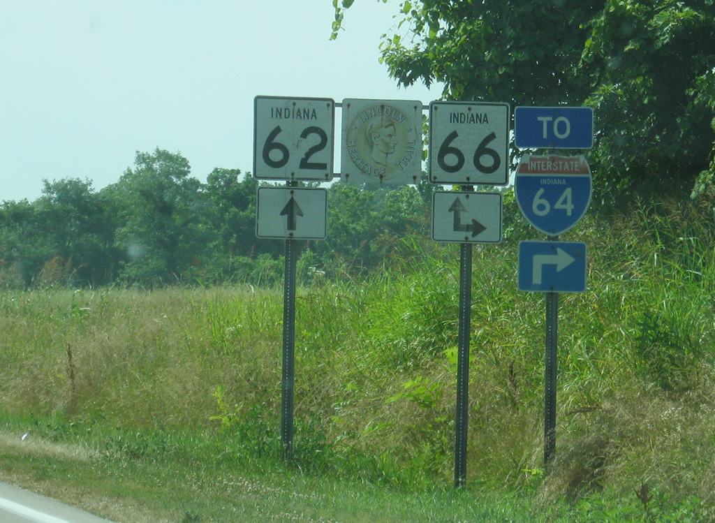
| Approaching the merge of SR 62 west with SR 66 outside Leavenworth in Crawford County. SR 62 and 66 combine westward 7.7 miles to Sulphur while SR 66 east turns north 2.7 miles to Exit 92 of Interstate 64. 06/07/12 |
|
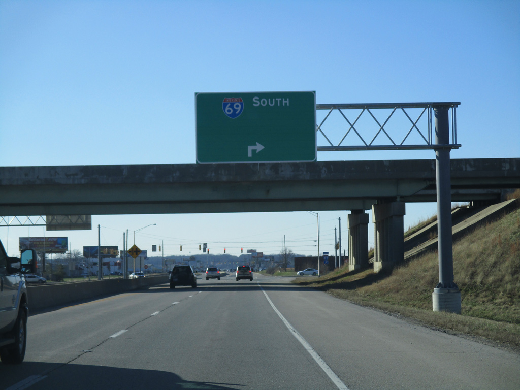
| SR 62 (Morgan Avenue) west at the loop ramp to Interstate 69 south on the east side of Evansville. A blank space on the guide sign for I-69 south indicates that a control city may be placed eventually. This would likely be Henderson, Kentucky or perhaps a farther away control city such as Memphis, Tennessee. 01/01/16 |
Page Updated 01-07-2016.