Iowa 76 joined Columbus City, Columbus Junction, Conesville, Nichols and West Liberty until 1969. The route north of Iowa 92 is now Iowa 70. 1964 Iowa Official Highway Map
Iowa 70 forms a north-south route 24 miles from Columbus Junction to West Liberty through Louisa and Muscatine Counties in eastern Iowa. Prior to 1969, the route of Iowa 70 was designated Iowa 76. This included a two mile spur south from Columbus Junction to Columbus, which was decommissioned in 1994 when Iowa 70 was realigned to bypass Columbus Junction to the east.
|
| Leading away from the overlap with Iowa 22, Iowa 70 bee lines north five miles to 130th Street before veering westward across the Wapsinonoc Creek into West Liberty. 12/31/14 |
|
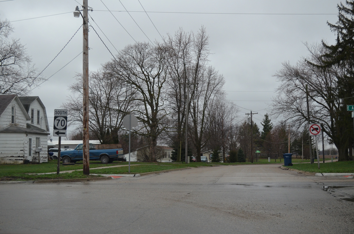
| U.S. 6 turns east from Columbus to 3rd Streets in the city of West Liberty. Columbus Street south from U.S. 6 forms the southbound beginning of Iowa 70. 04/12/13 |
|
| Iowa 70 (Columbus Street) crosses an Iowa Interstate Railroad line at 2nd Street. The state highway proceeds south two more blocks to turn east onto A Street. 04/12/13 |
|
| Columbus Street spurs south from Iowa 70 and A Street to a cemetery. A Street west ends at West Liberty Raceway two blocks to the west. 04/12/13 |
|
| A Street leads Iowa 70 east three blocks to Park Avenue south. 04/12/13 |
|
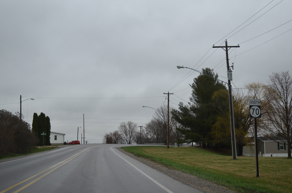
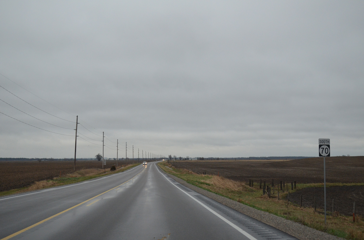
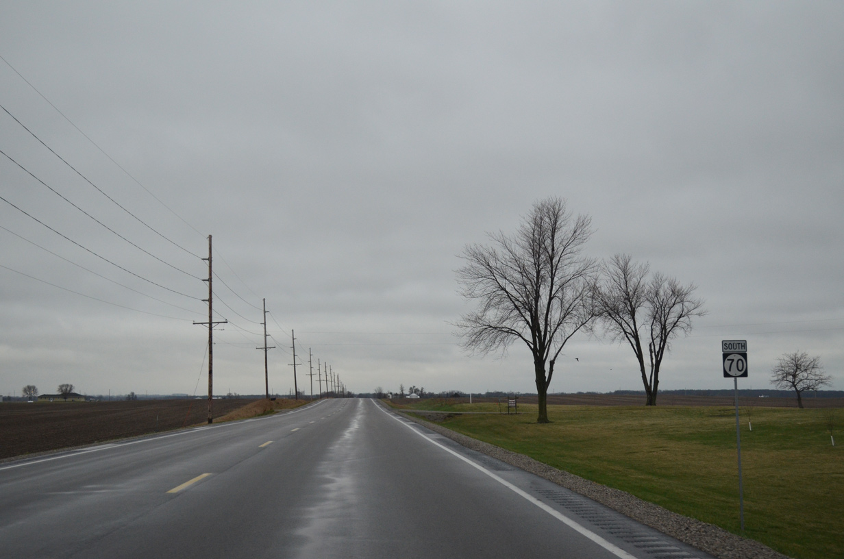
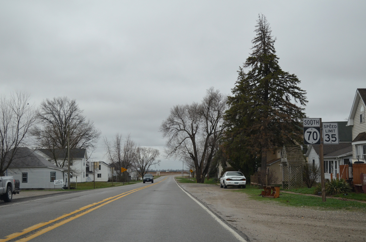
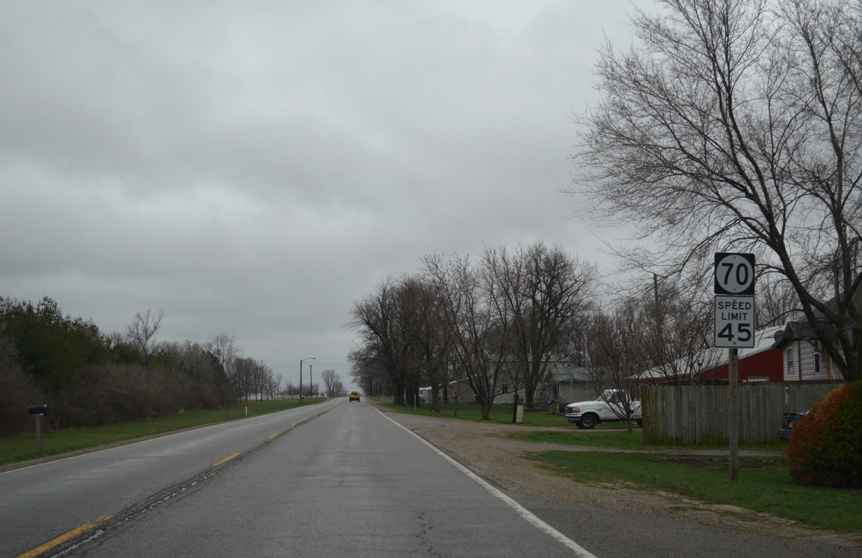
| Leaving the city of West Liberty, Iowa 70 proceeds south nine miles to Nichols and 23 miles to end in Columbus Junction. 04/12/13 |
|
| Traveling south of Wapsinonoc Creek and 130th Street east along Iowa 70. 04/12/13 |
|
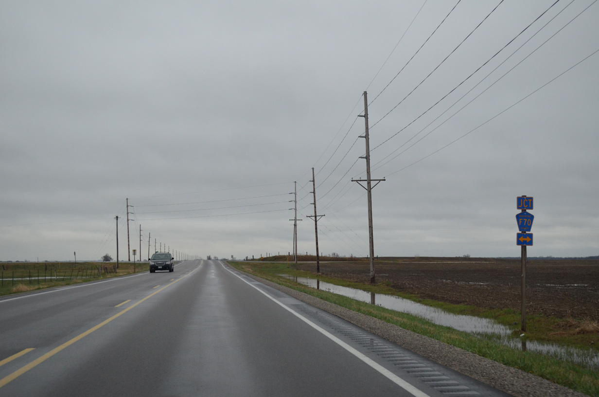
| 155th Street doubles as Muscatine County F70 west to CR X34 (Davis Avenue) and east to Sweetland Road near U.S. 61 and Sweetland Center. 04/12/13 |
|
| Continuing south from CR F70 (155th Street) on Iowa 70. 04/12/13 |
|
| One mile further south, drivers along Iowa 70 intersect 160th Street ahead of this shield assembly. 04/12/13 |
|
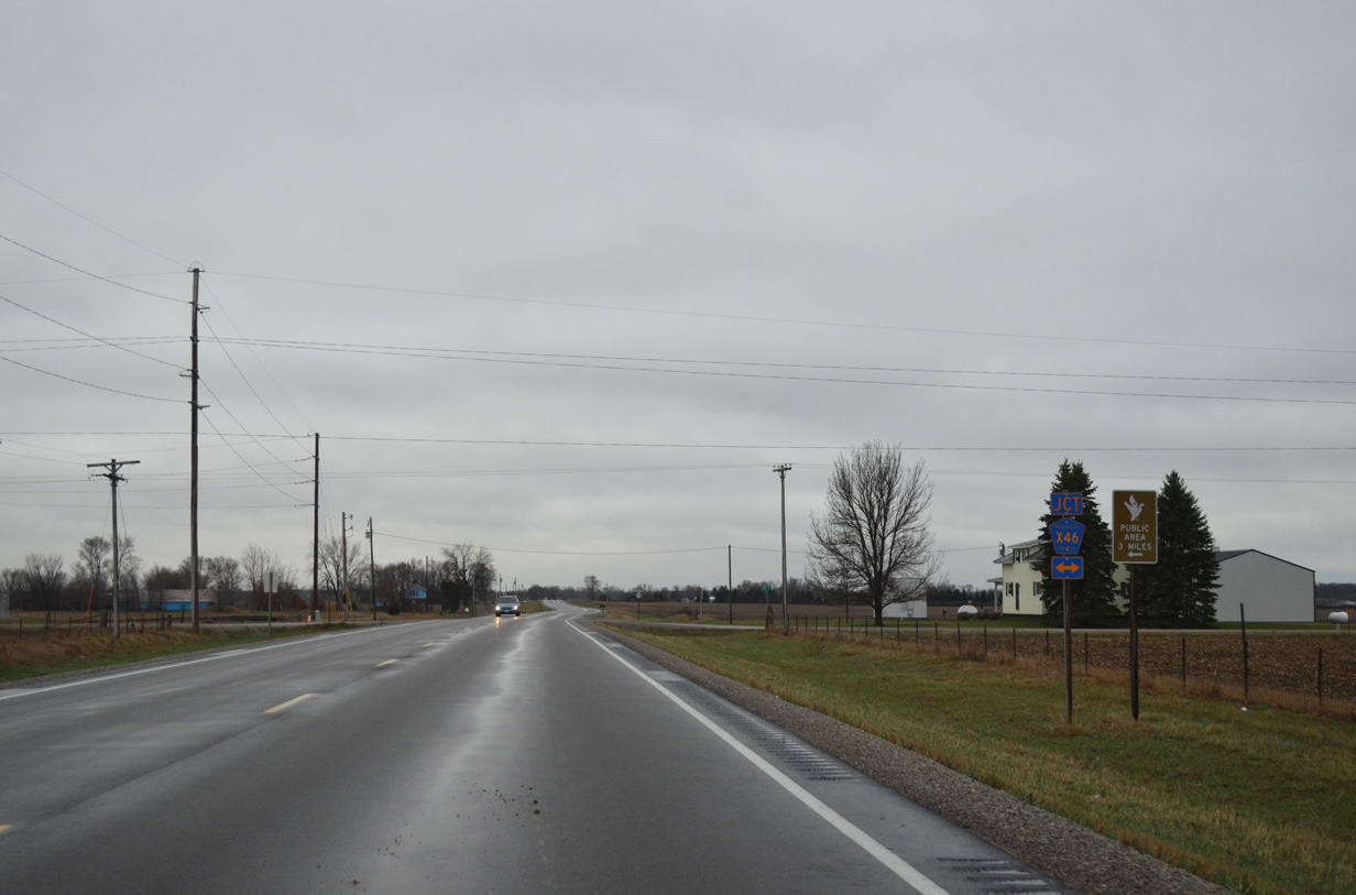
| Muscatine County X46 curves west from Kelly Avenue along 170th Street to cross paths with Iowa 70 north of Adams. 04/12/13 |
|
| Signage remains consistent along Iowa 70 as the route advances south of CR X46. 04/12/13 |
|
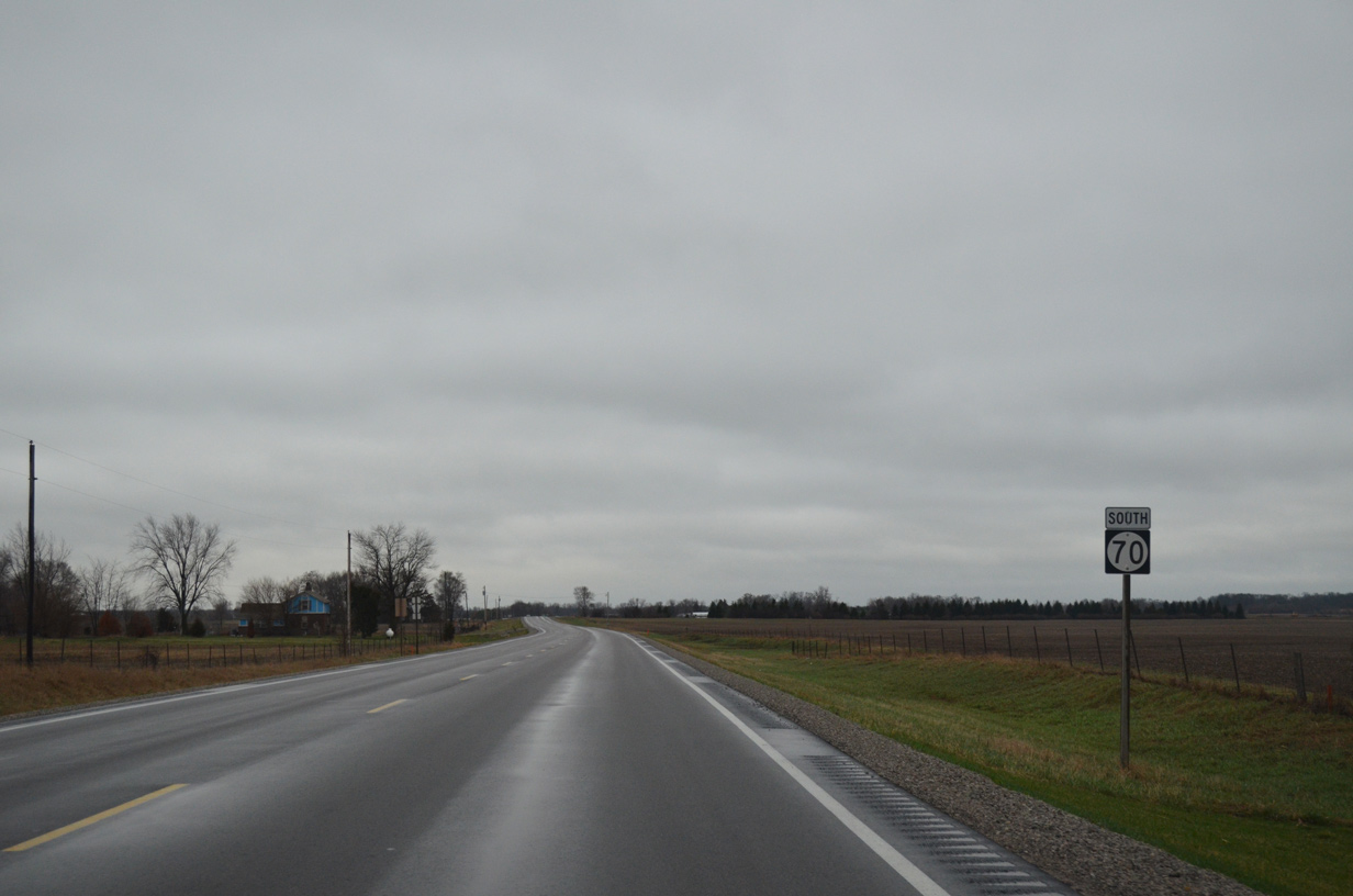
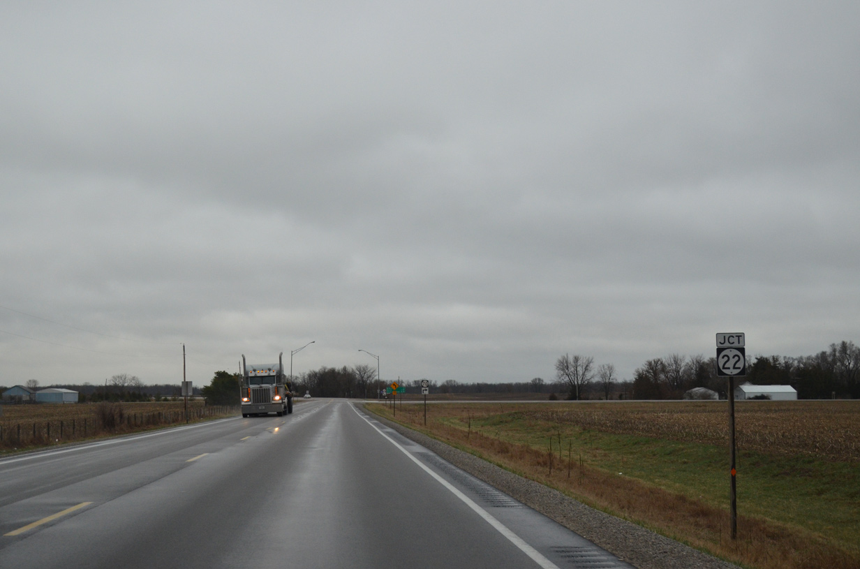
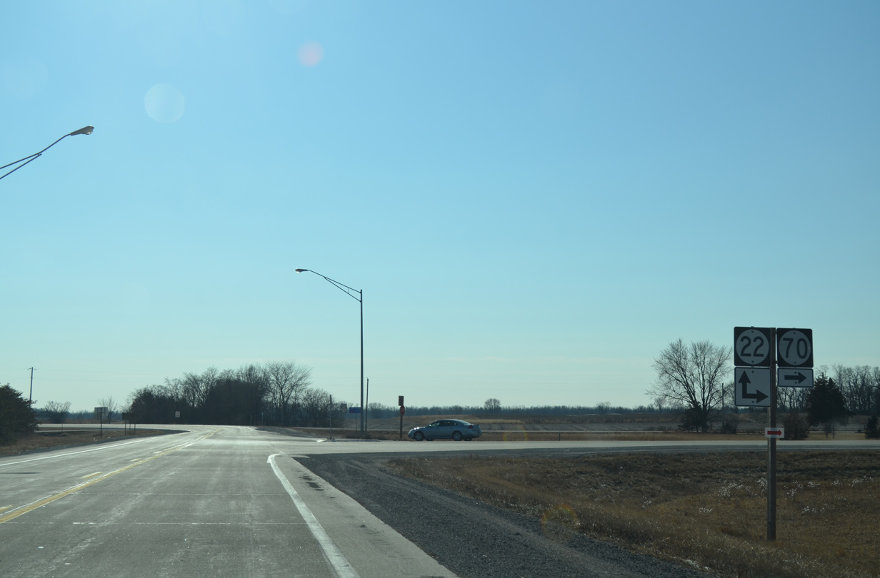
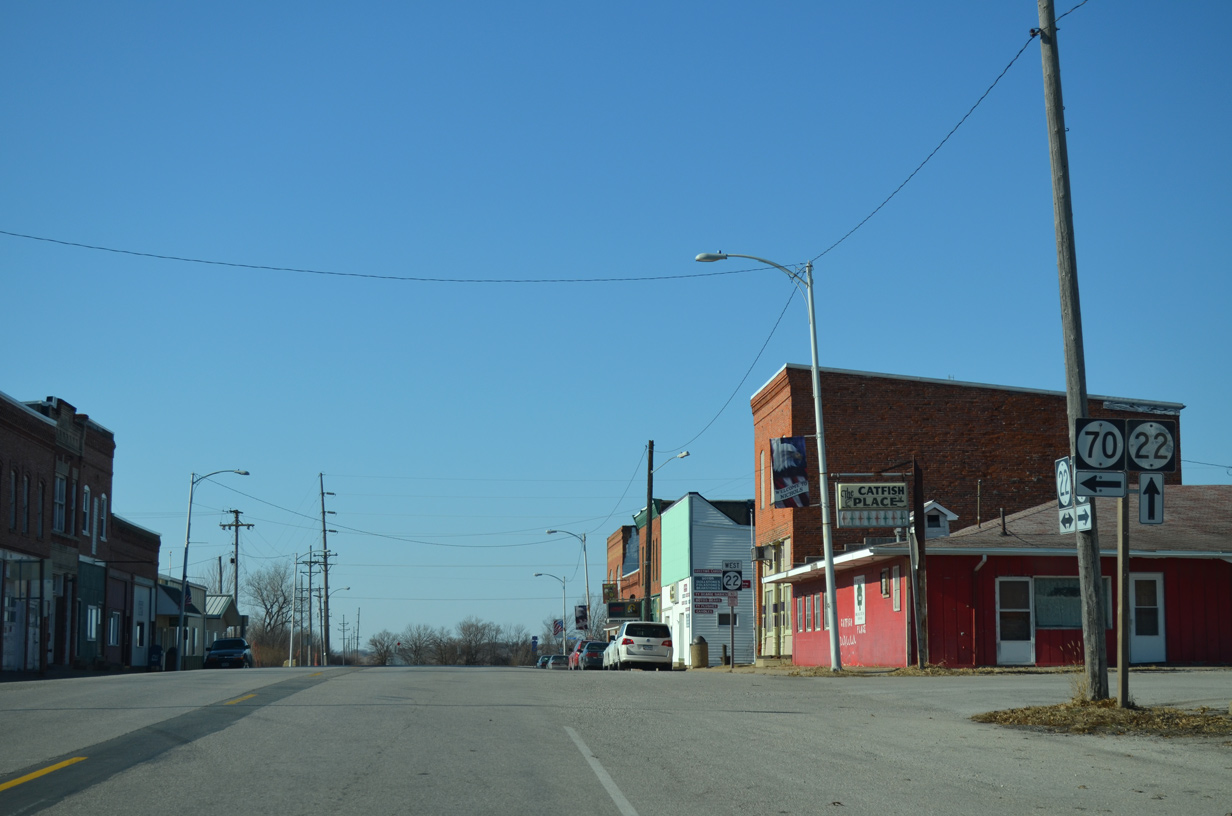
| Iowa 70 south next approaches Iowa 22 at Adams. 04/12/13 |
|
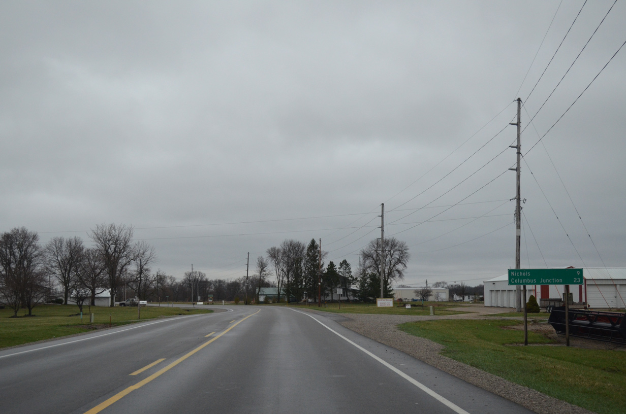
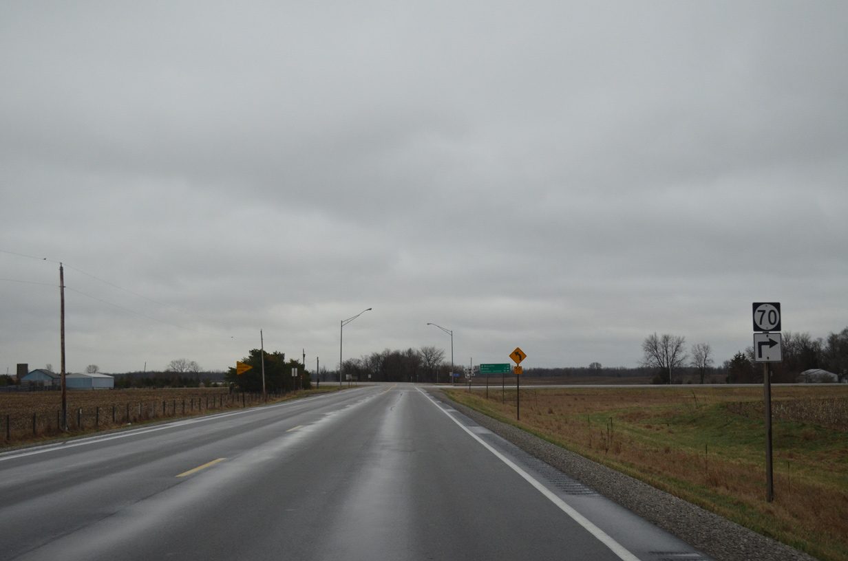
| Iowa 22/70 overlap three miles west to the city of Nichols. 04/12/13 |
|
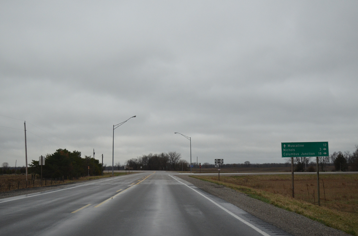
| Iowa 22 angles southeast across the Cedar River toward the city of Muscatine. Downtown Muscatine lines the Mississippi River, 12 miles to the east. 04/12/13 |
|
| Measuring 98 miles in total length, Iowa 22 travels between Iowa 21 in Keokuk County and U.S. 61 Business in the Quad Cities. 12/31/14 |
|
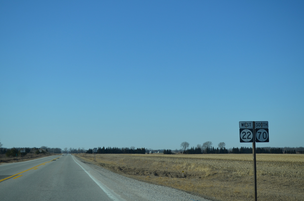
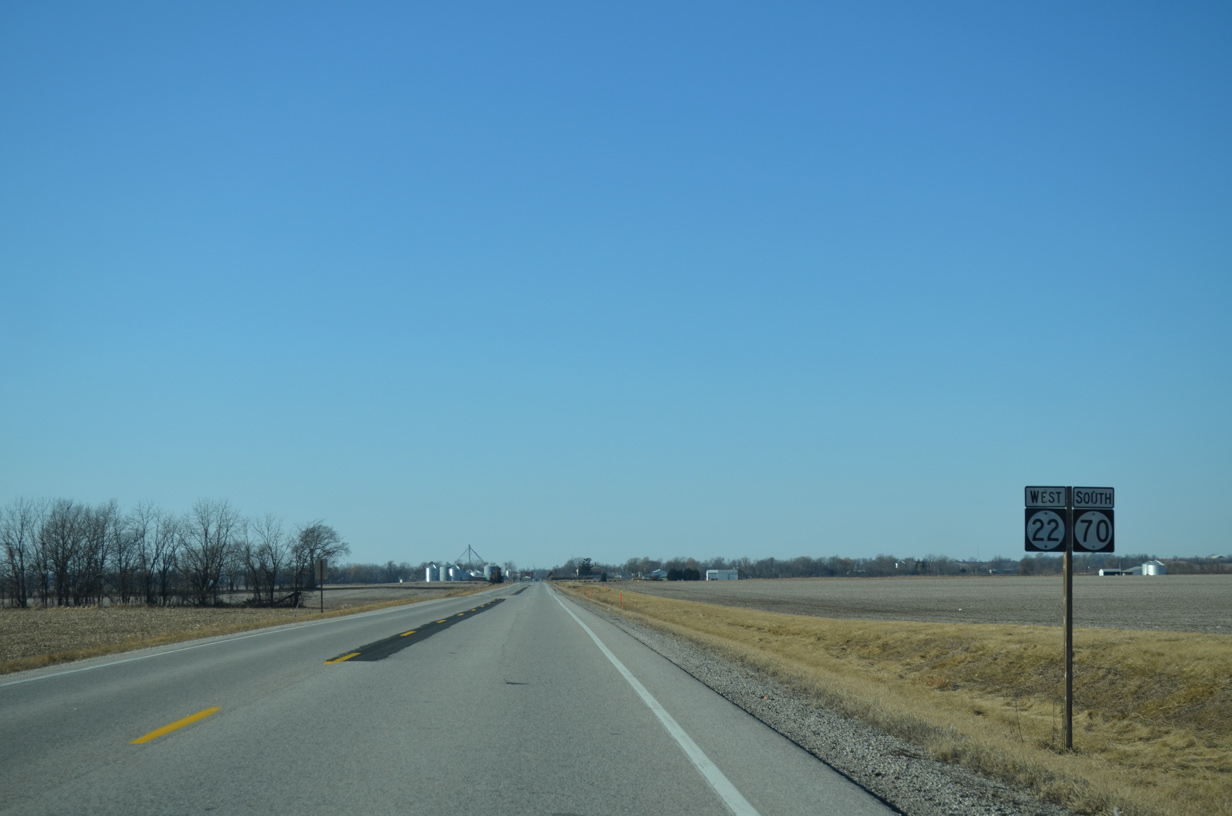
| Iowa 22/70 combine west ahead of Wapsinonoc Creek. 12/31/14 |
|
| Elder Avenue crosses Iowa 22/70 just west of Wapsinonoc Creek ahead of this shield assembly. 12/31/14 |
|
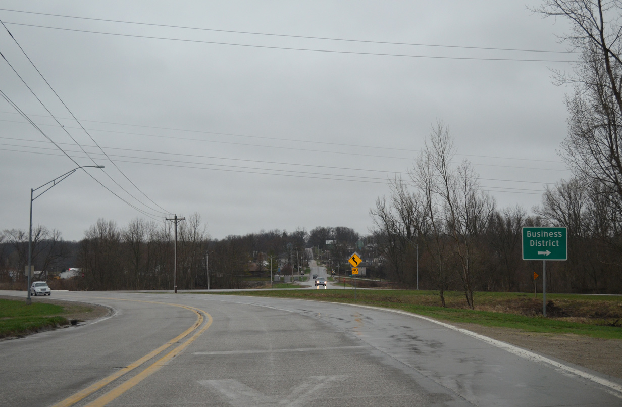
| Entering the city limits of Nichols, Iowa 22/70 transition onto Ijem Avenue. Nichols, home to 374 as of the 2010 census, was named after Samuel Nichols, a railroad proponent and father of an early area settler. 12/31/14 |
|
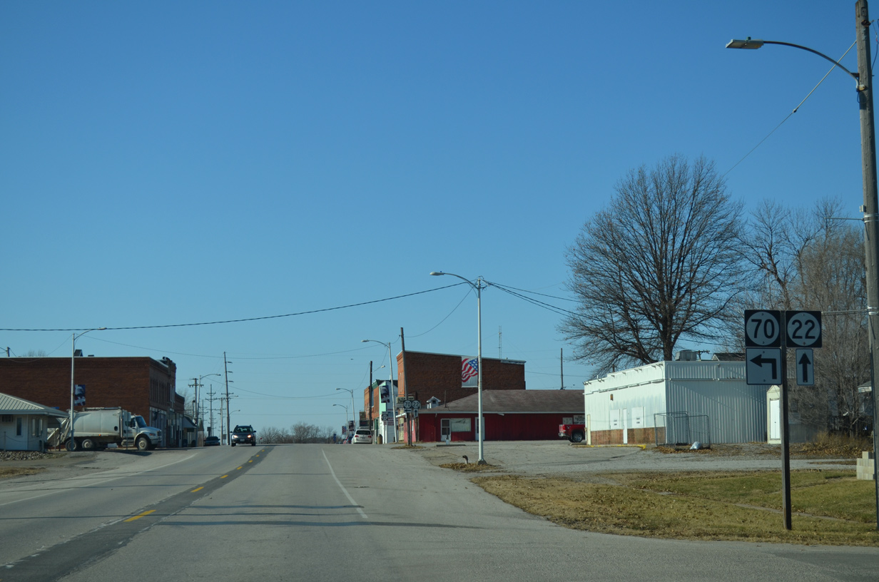
| Two blocks into Nichols, Iowa 70 splits with Iowa 22 west at Main Street. 12/31/14 |
|
| Iowa 70 resumes a southward heading, paralleling Wapsinonoc Creek to Conesville and Columbus Junction. 12/31/14 |
|
| Main Street takes Iowa 70 south from Iowa 22 (Ijem Avenue) and th Nichols city center. 04/12/13 |
|
| Iowa 70 south swings west to run alongside an abandoned Chicago, Rock Island and Pacific Railroad to Columbus Junction. 04/12/13 |
|
| Southbound Iowa 70 after 200th Street. 04/12/13 |
|
| An S-curve shifts Iowa 70 west across the former railroad line between 217th and 220th Streets on the Orono township line. 04/12/13 |
|
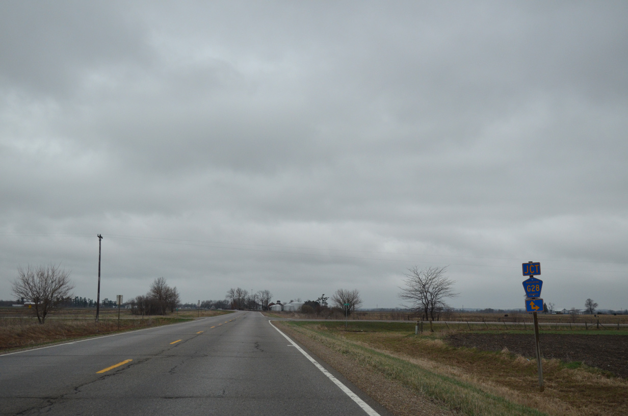
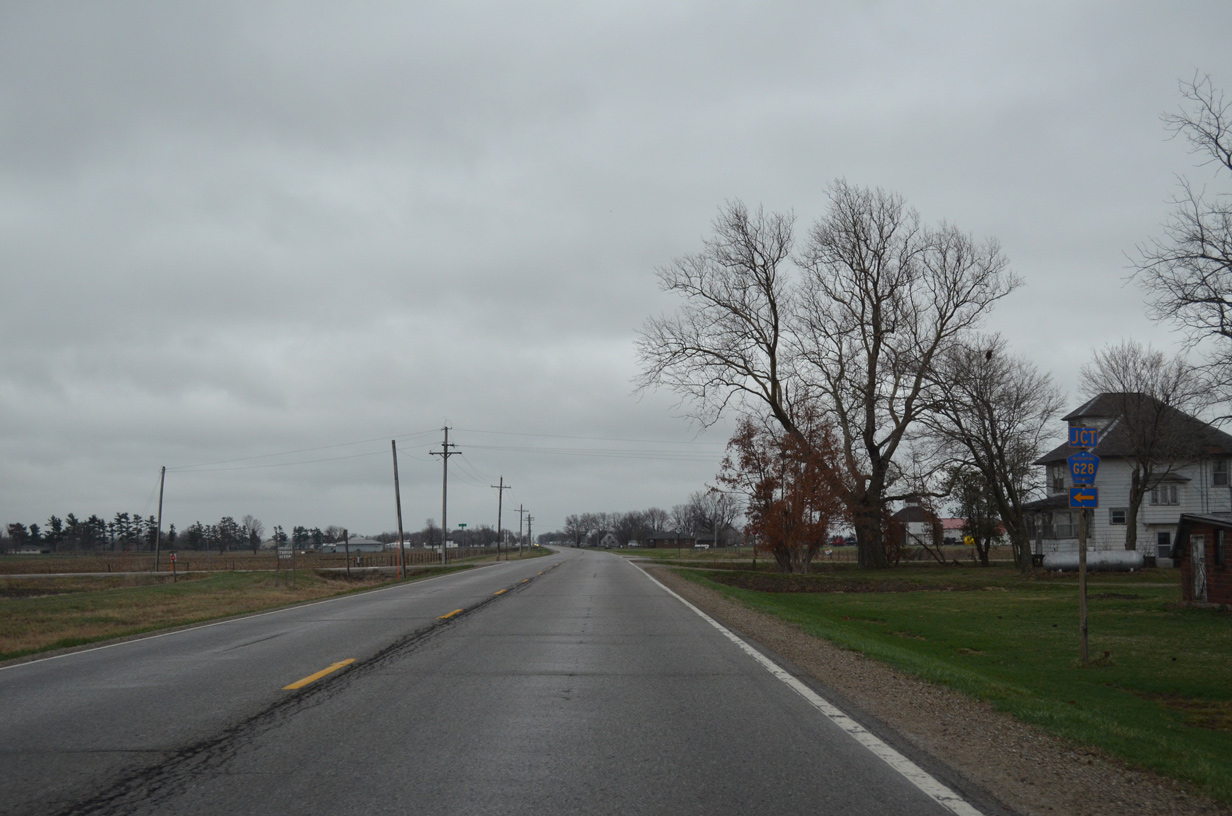
| CR G28 travels three miles east from Louisa County Route X14 to an implied overlap with Iowa 70 south from 230th to 231st Streets. 04/12/13 |
|
| Heading east, Muscatine County Route G28 lines 231st Street to U.S. 61/Iowa 92 on the outskirts of Muscatine. 04/12/13 |
|
| Iowa 70 proceeds south from CR G28 along Todd Ferry Road. 04/12/13 |
|
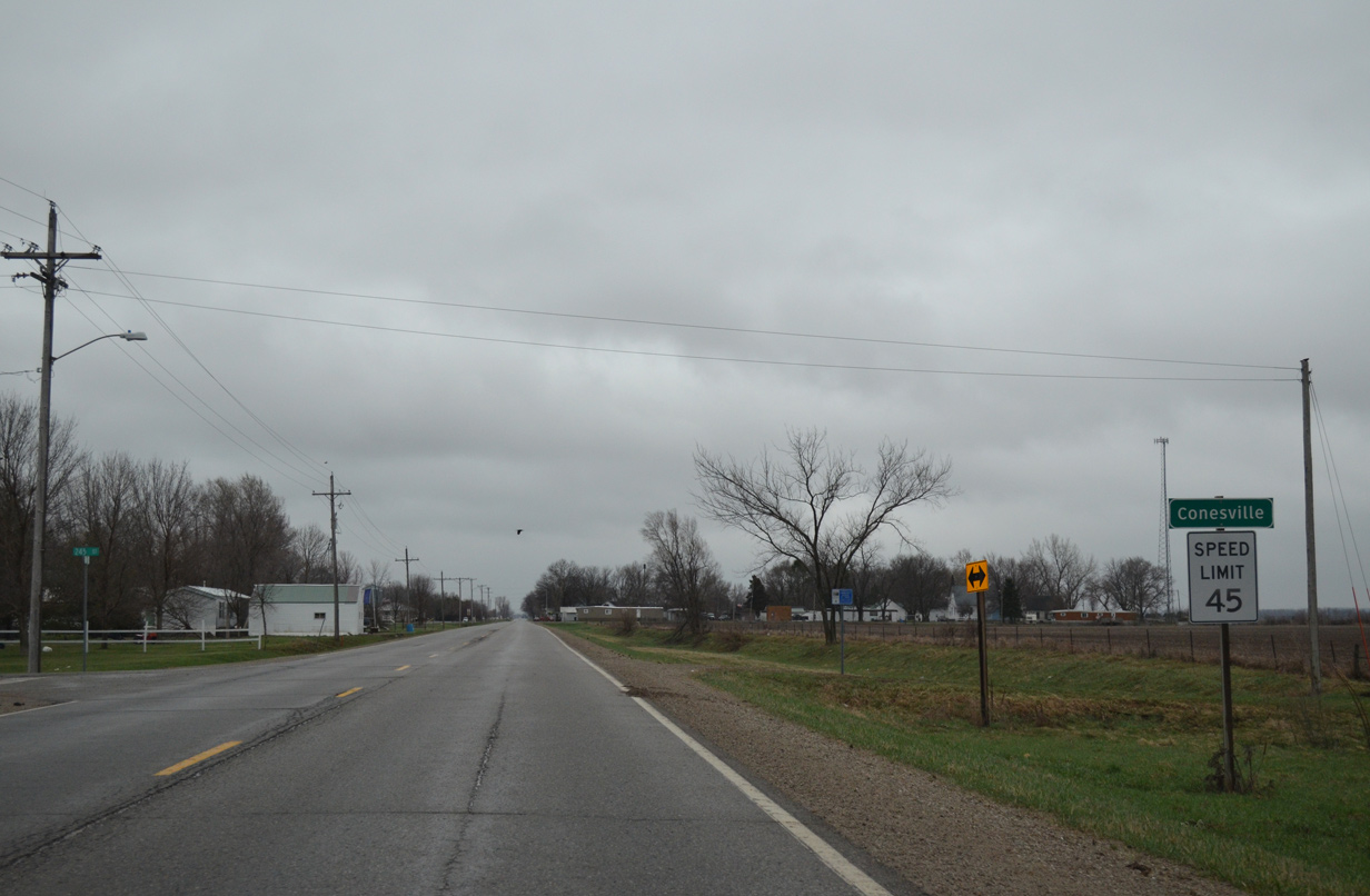
| Entering the city of Conesville along Iowa 70 south. 432 called the 230-acre municipality home in the 2010 census. 04/12/13 |
|
| A small street grid spreads west and east from Iowa 70 through Conesville. 1st Street becomes 250th Street west to Oakland township in Louisa County ahead of this reassurance marker. 04/12/13 |
|
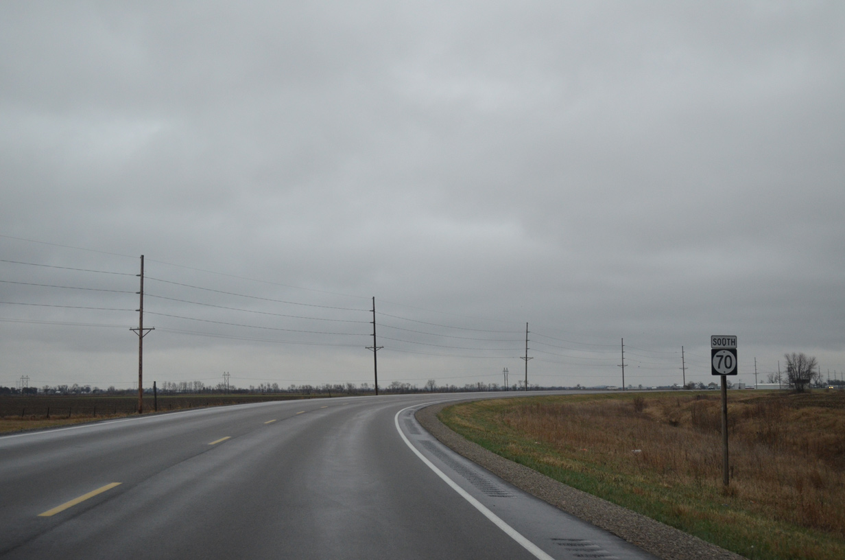
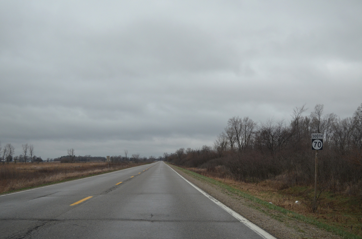
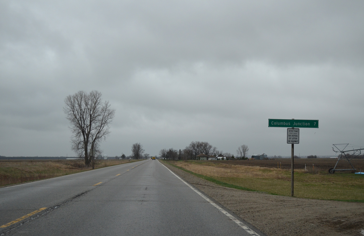
| Seven miles of Iowa 70 south remain after Conesville. 04/12/13 |
|
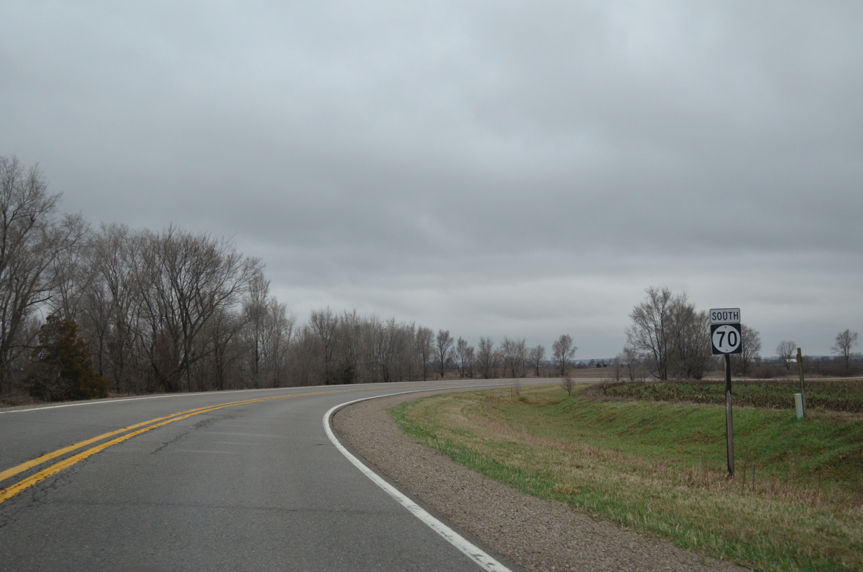
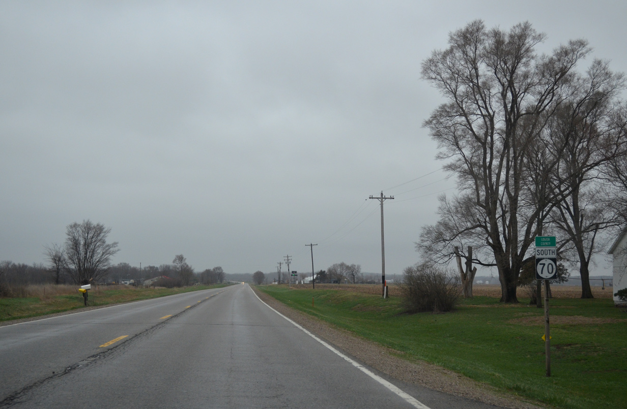
| Crossing the Louisa County line, Iowa 70 and the Cedar River converge on their respective paths south to Columbus Junction. 04/12/13 |
|
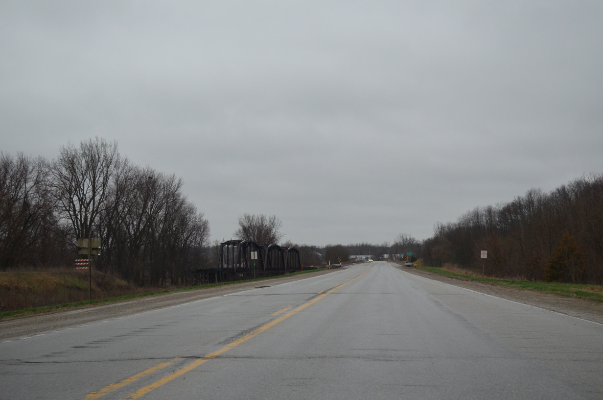
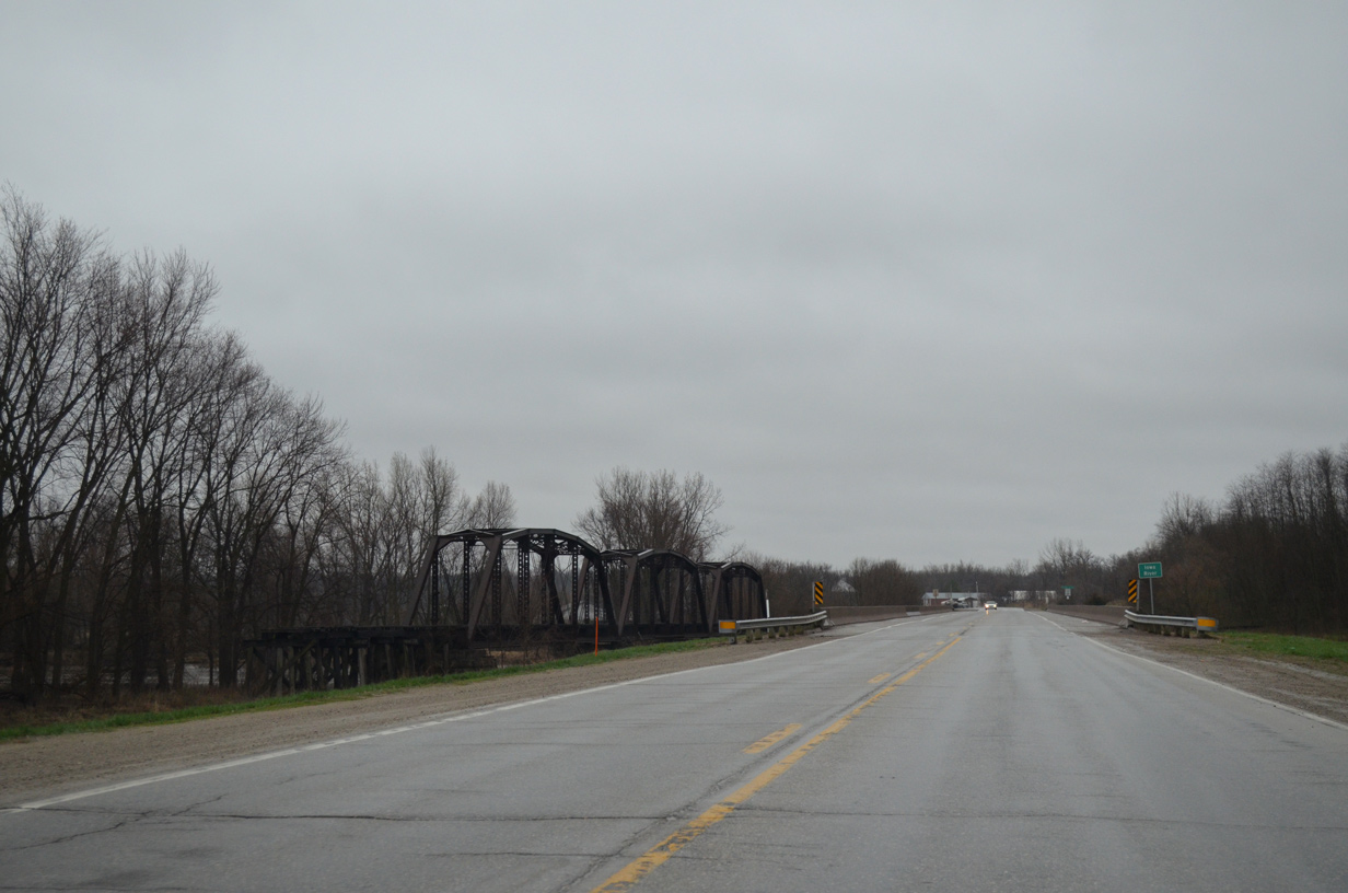
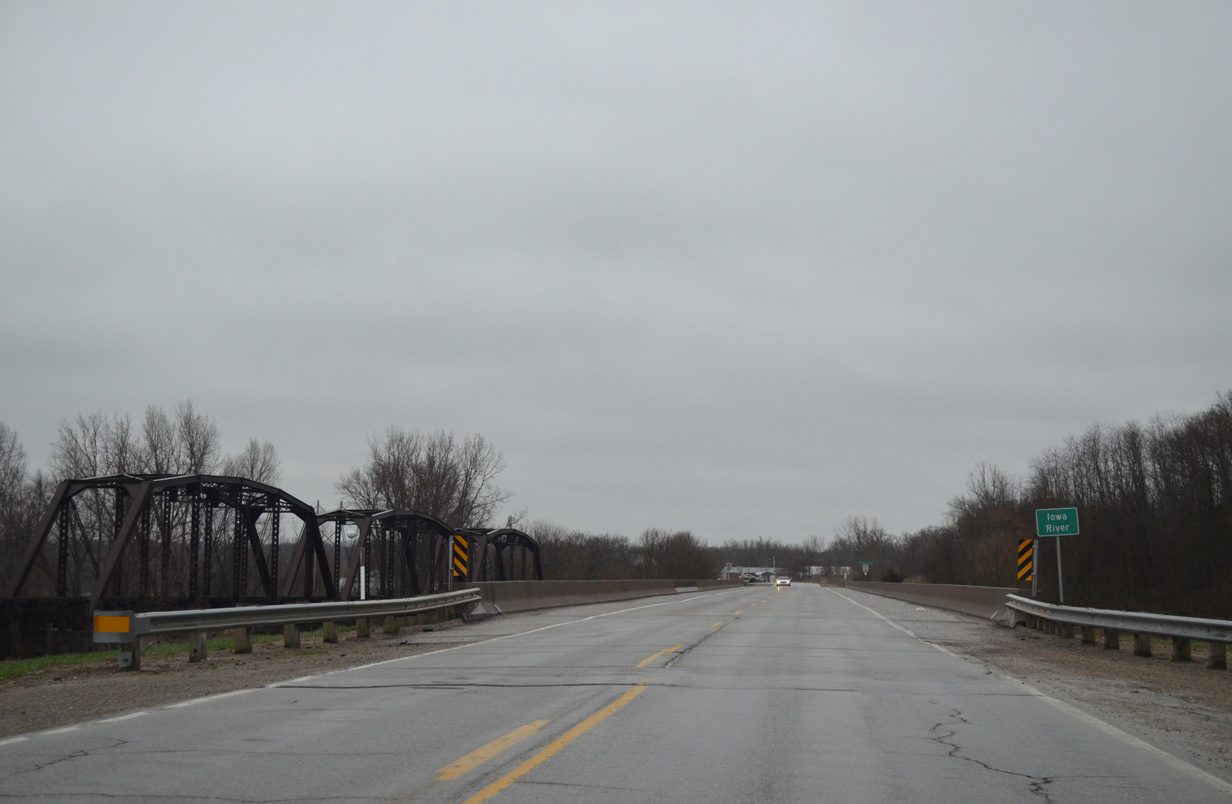
| The Chicago, Rock Island and Pacific Railroad truss bridge over the Iowa River remains in place along the east side of Iowa 70. 04/12/13 |
|
| The Iowa and Cedar Rivers combine just east of Iowa 70 at Columbus Junction. The 323 mile long Iowa bisects Louisa County to the southeast to its confluence with the Mississippi River near Toolesboro. 04/12/13 |
|
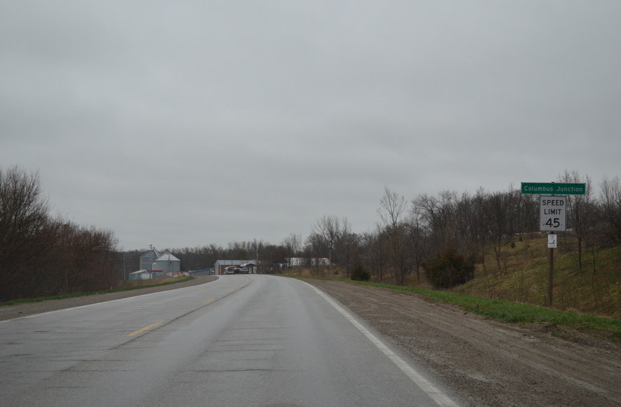
| The Columbus Junction city limits extend north along Iowa 70 to the Iowa River. 04/12/13 |
|
| Iowa 70 shifts east onto the 1994-opened bypass as 2nd Street (former IA 70) leads due south into Downtown Columbus Junction. 04/12/13 |
|
| The two lane bypass spans Short Creek just beyond the connector to 2nd Street south and CR G36 west. 04/12/13 |
|
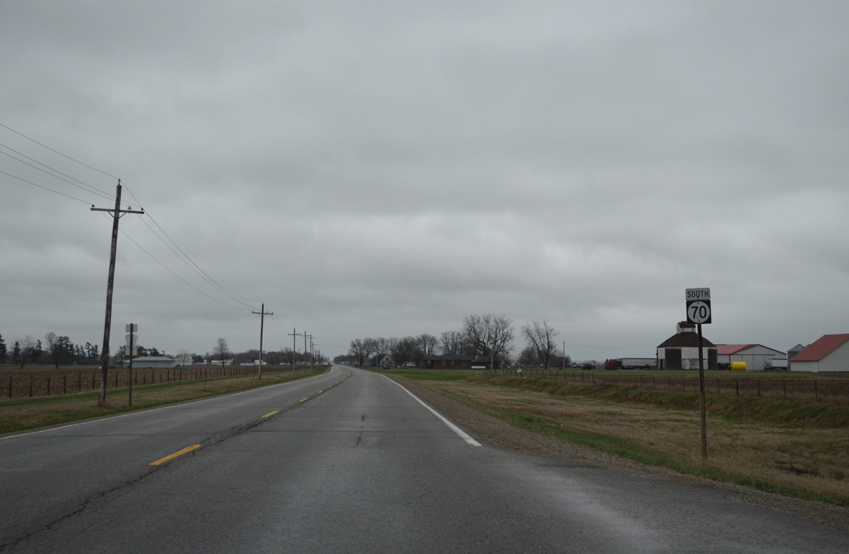
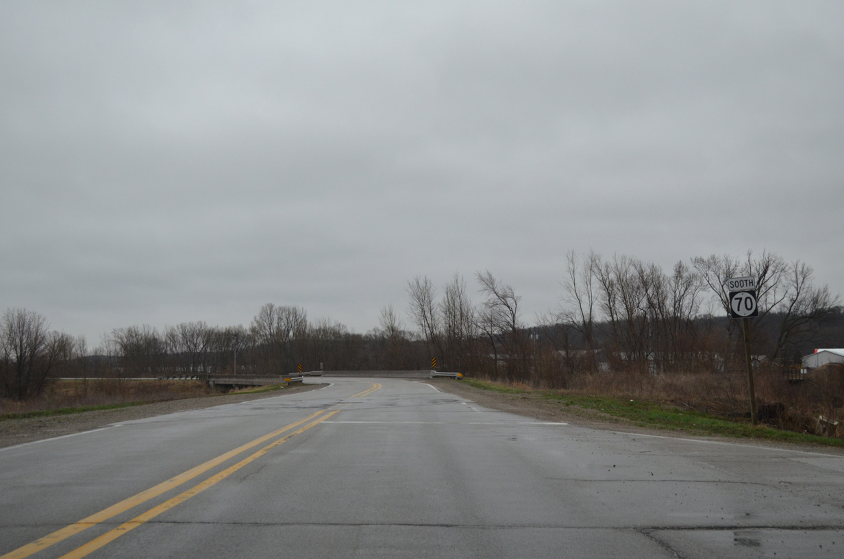
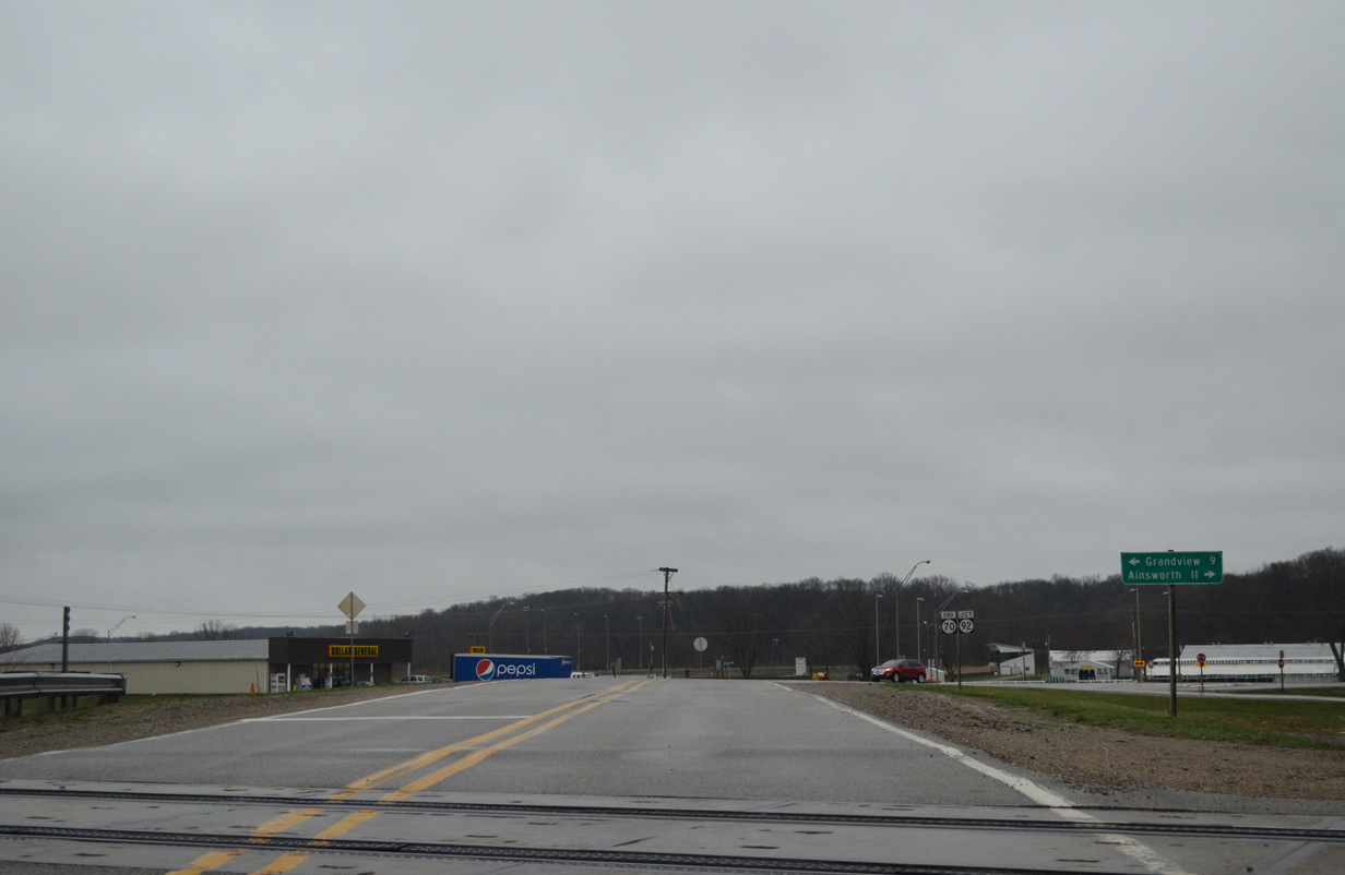
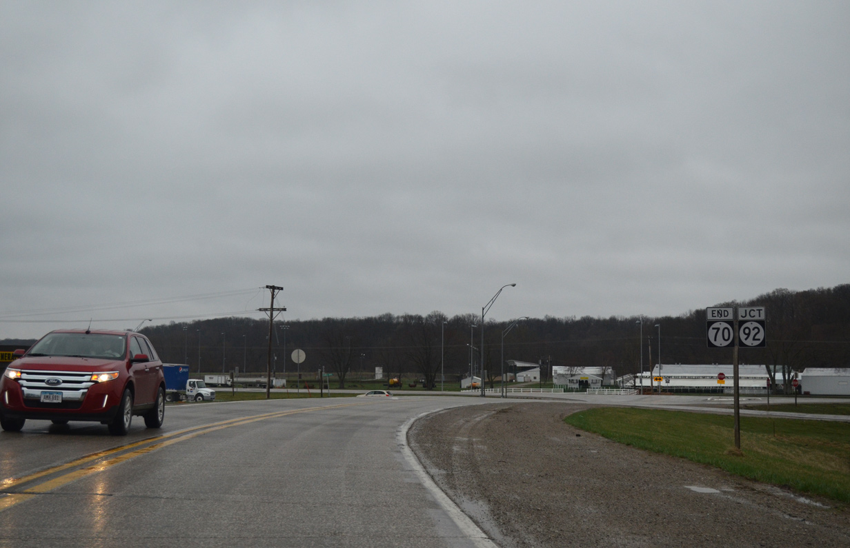
| Iowa 70 concludes beyond a set of Dakota, Minnesota & Eastern Railroad tracks at Iowa 92. Iowa 92 stretches across Louisa County nine miles east to U.S. 61 at Grandview and west to adjacent Washington County and Ainsworth in 11 miles. 04/12/13 |
|
| An end shield appears for Iowa 70 south across from the Louisa County Fairgrounds on Iowa 92. Iowa 70 originally ended in the adjoining city of Columbus City. 04/12/13 |
|
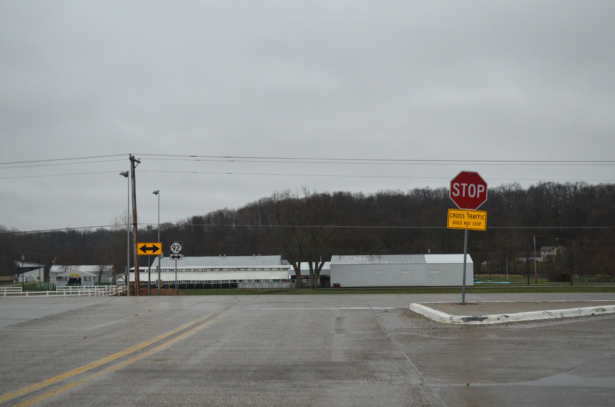
| A cross-state route, Iowa 92 runs east to the Norbert F. Beckey Bridge across the Mississippi River at Muscatine and west into Omaha, Nebraska alongside U.S. 275 from Council Bluffs. 04/12/13 |
Page Updated 08-10-2015.