

 North
North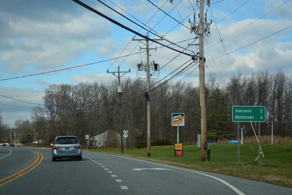
12/18/22
12/18/22
12/18/22

12/18/22
12/18/22
12/18/22
12/18/22
12/18/22
12/18/22
12/18/22
12/18/22
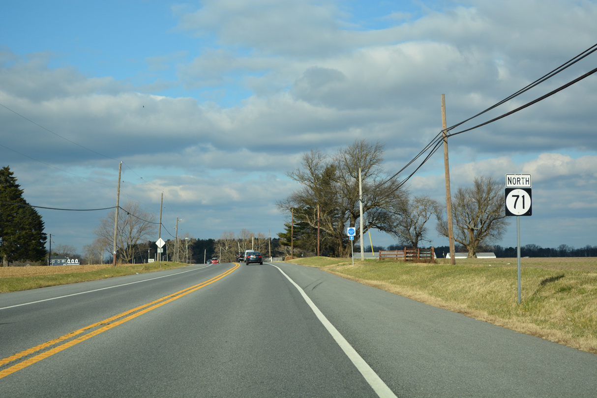
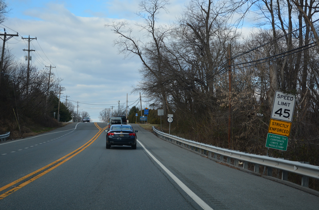
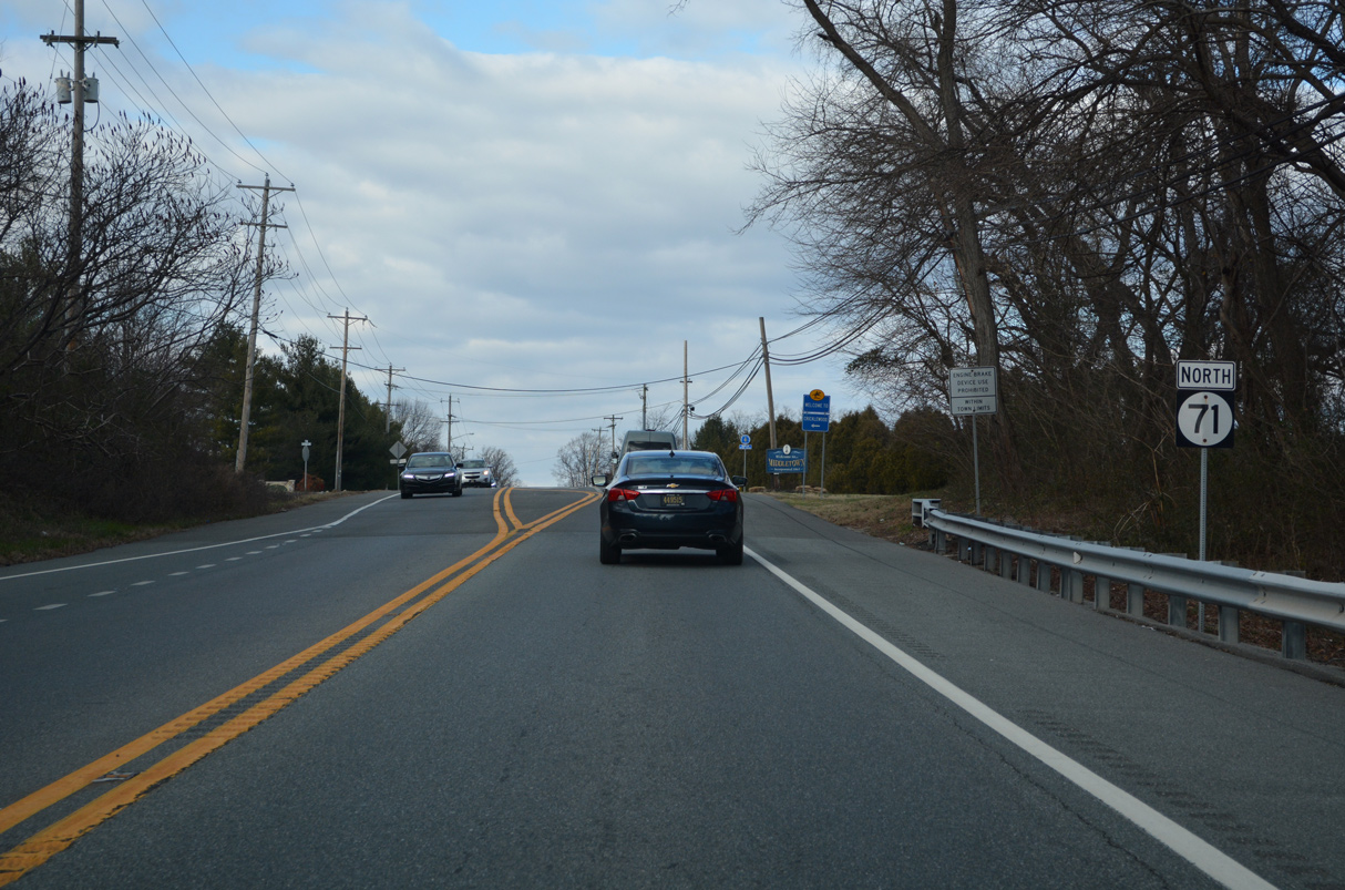
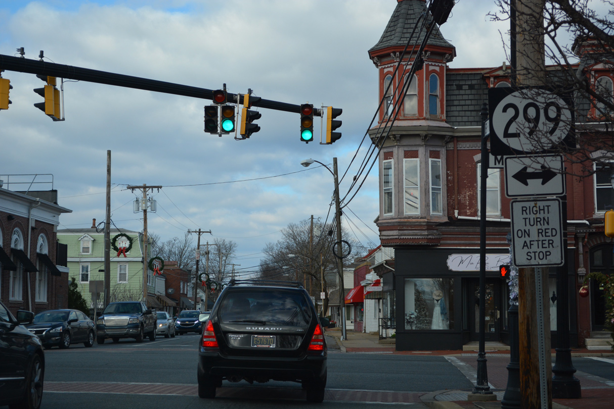
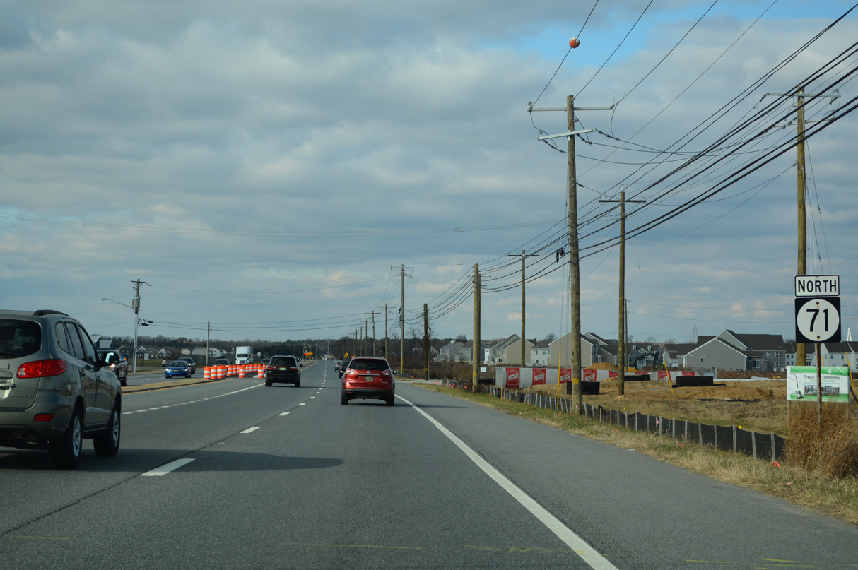
SR 71 converges with Middletown Warwick Road (old U.S. 301) north from Broad Street in Middletown.
12/18/22

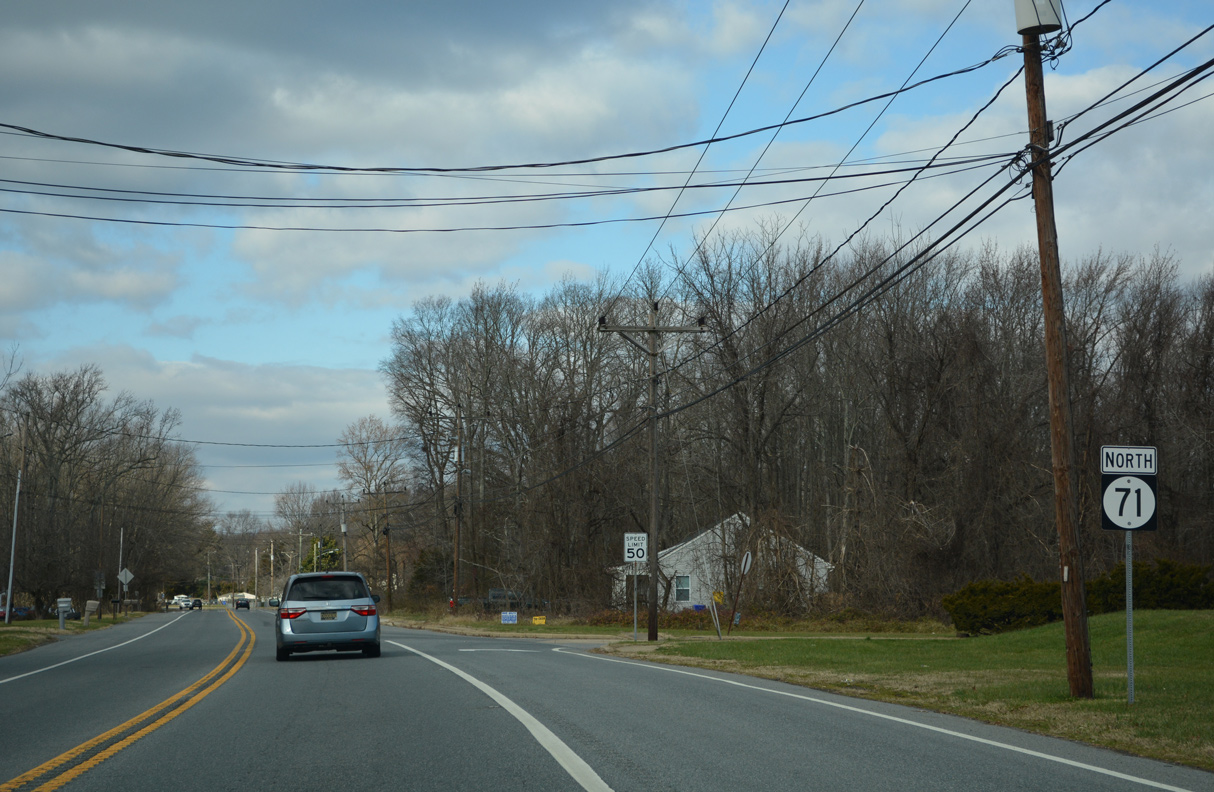
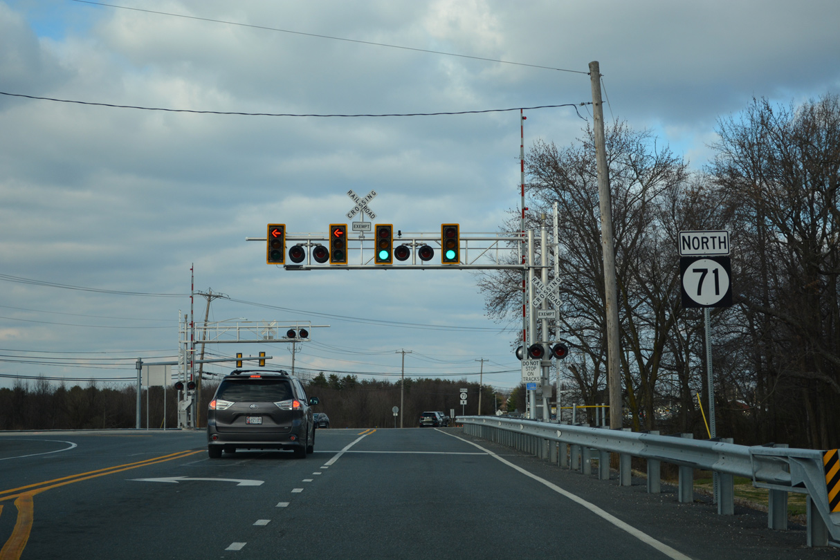
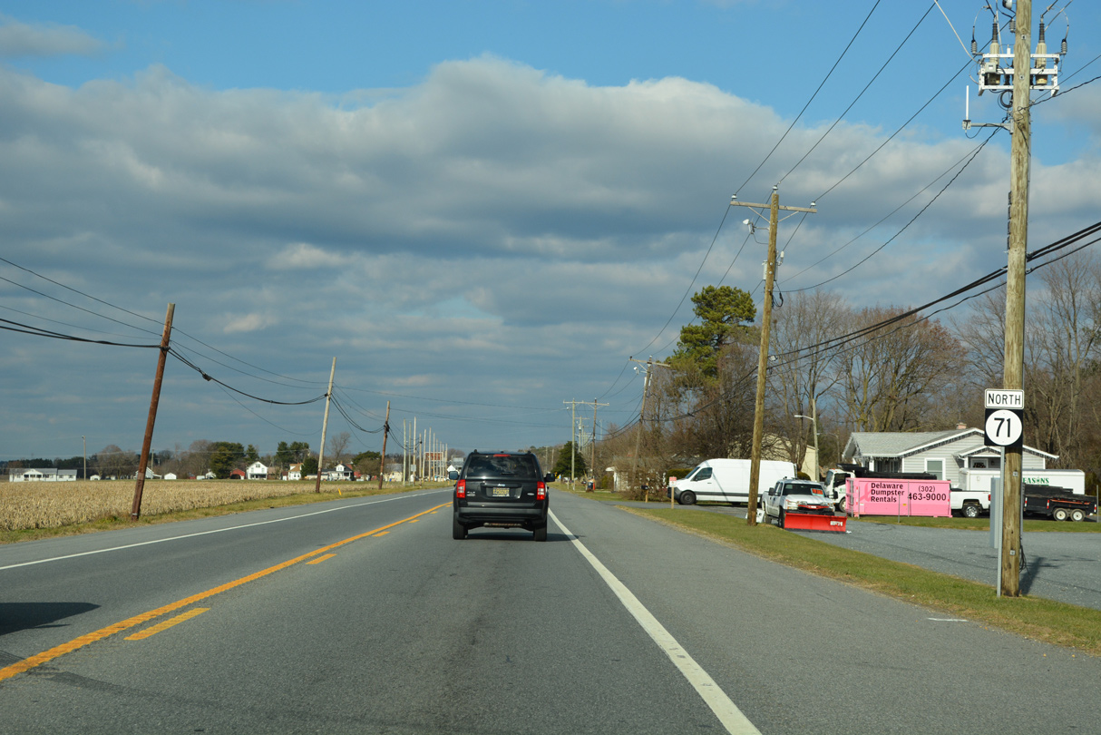
SR 71 shifts onto Summit Bridge Road (old U.S. 301) north to Mount Pleasant.
12/18/22
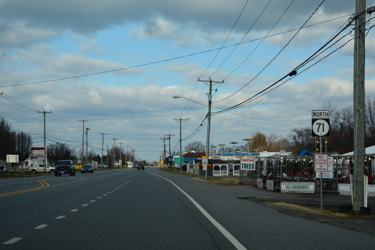
Summit Bridge Road carries just two lanes from the north side of Middletown to Mount Pleasant.
12/18/22

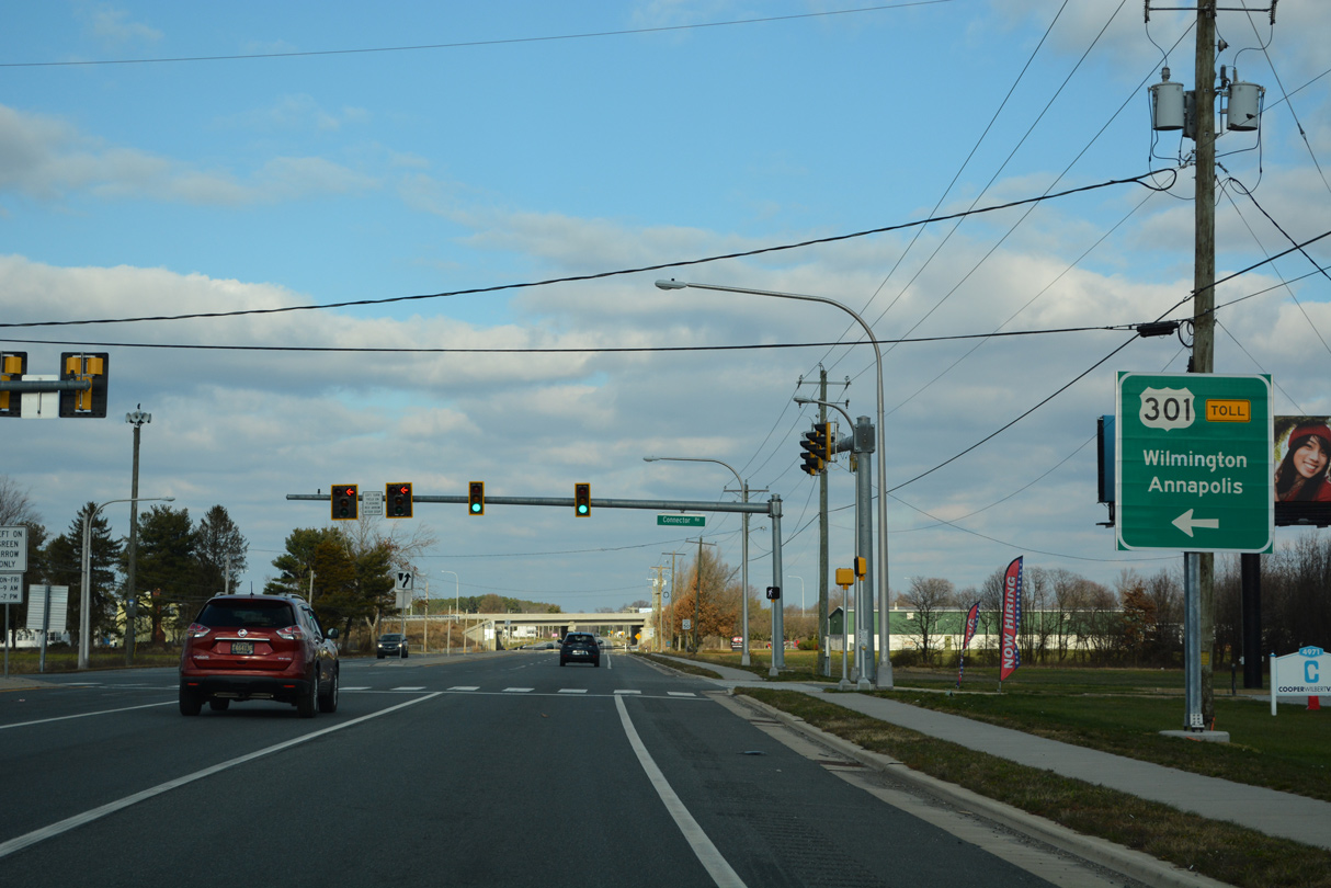
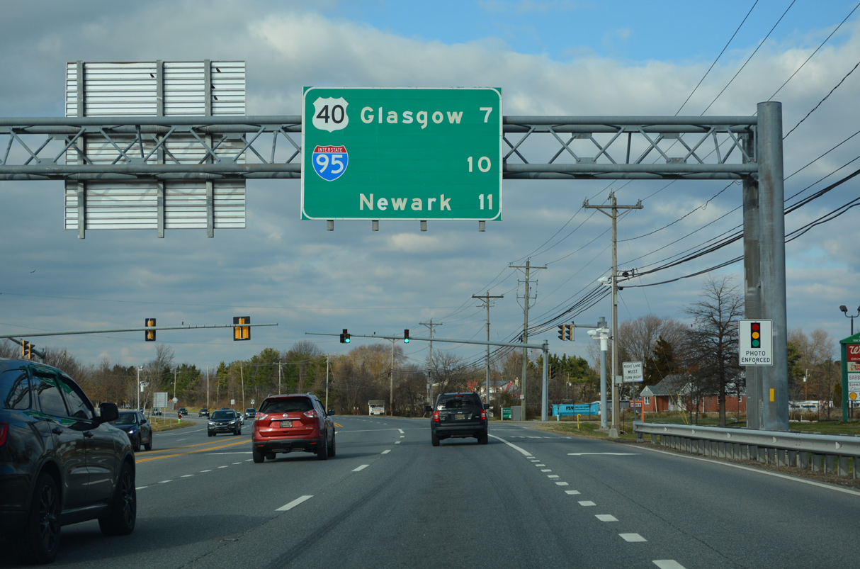
Glasgow and Newark lie ten and 16 miles ahead respectively via SR 71 (Summit Bridge Road) north to SR 896. The distance to Wilmington references the SR 896 interchange with I-95 north.
12/18/22
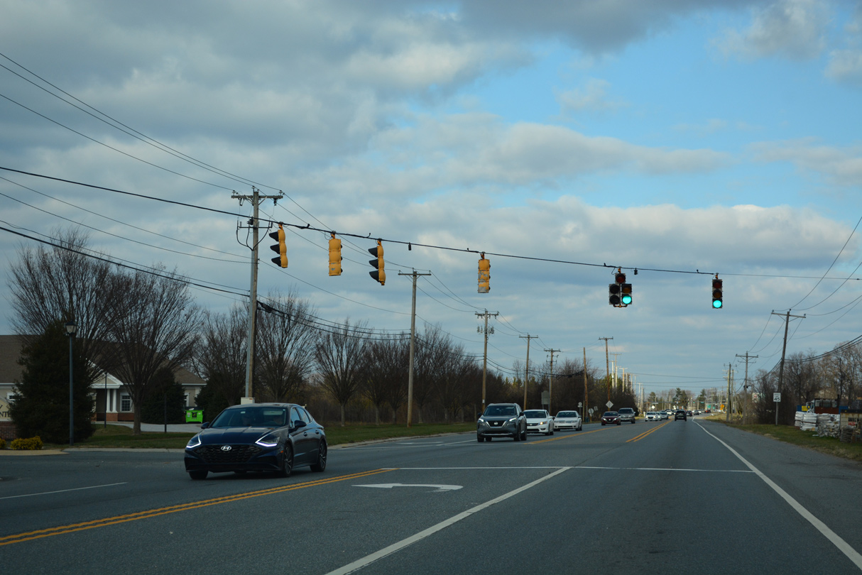
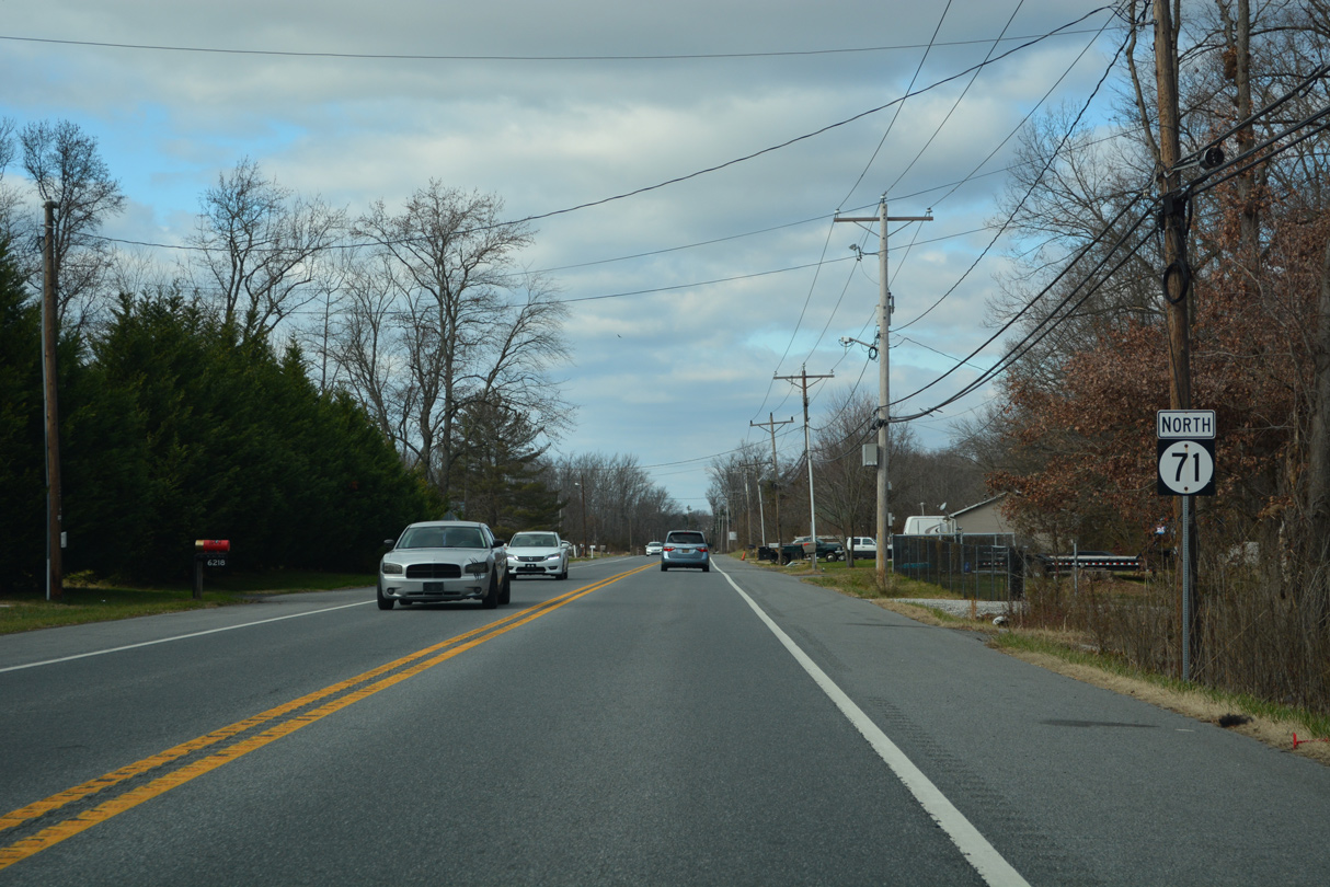
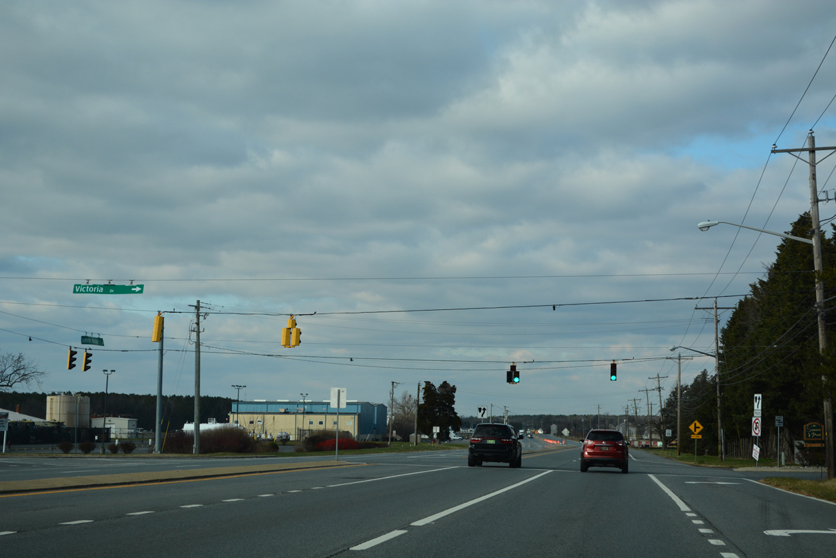
Springmill Drive winds westward from SR 71 to Middletown Corporate Center and the Springmill development from a traffic light near the north end of Middletown.
12/18/22
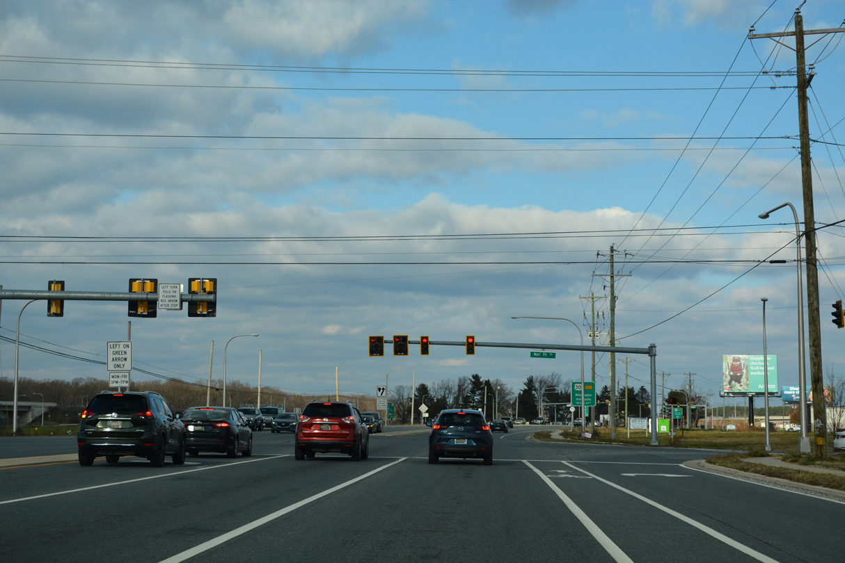
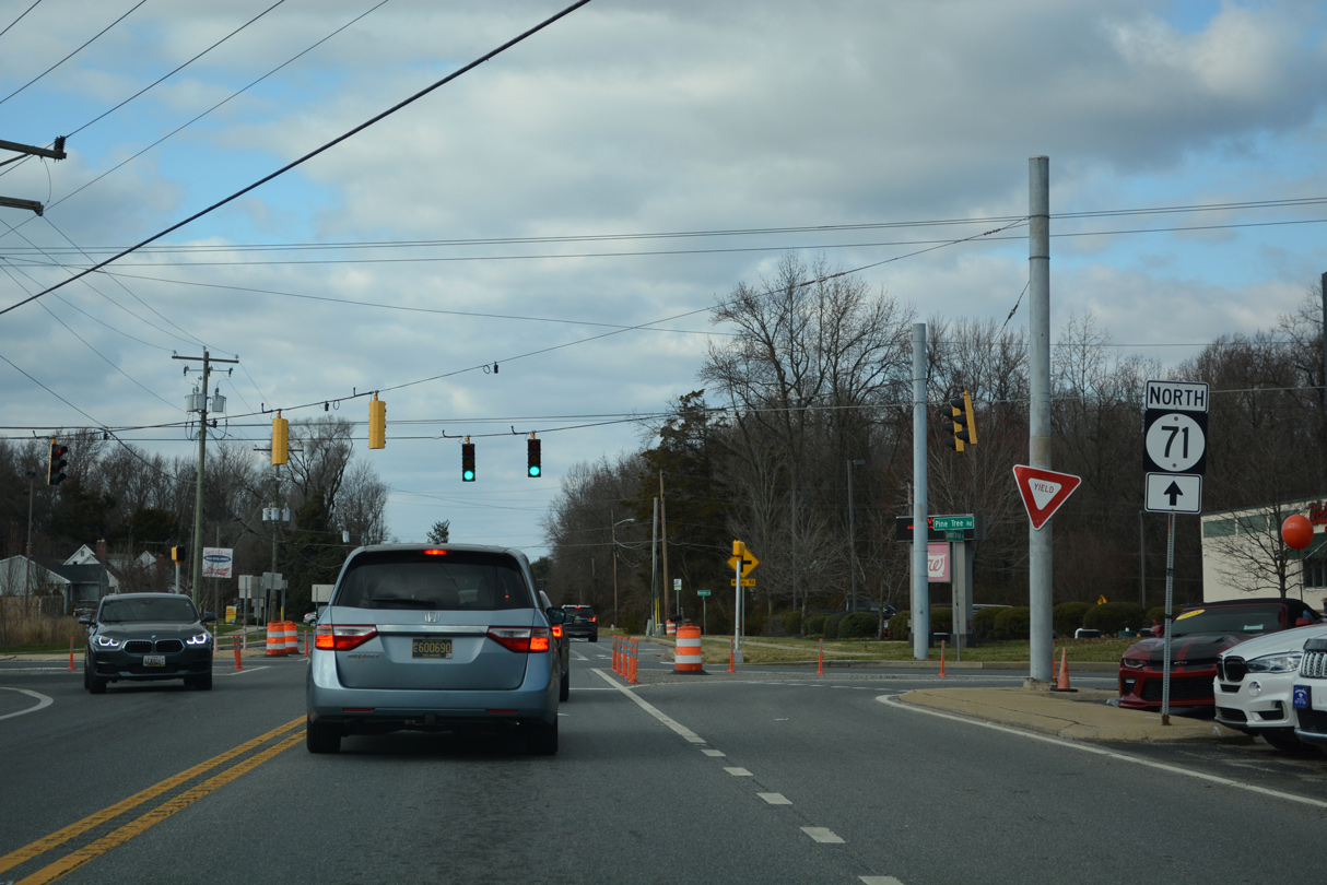
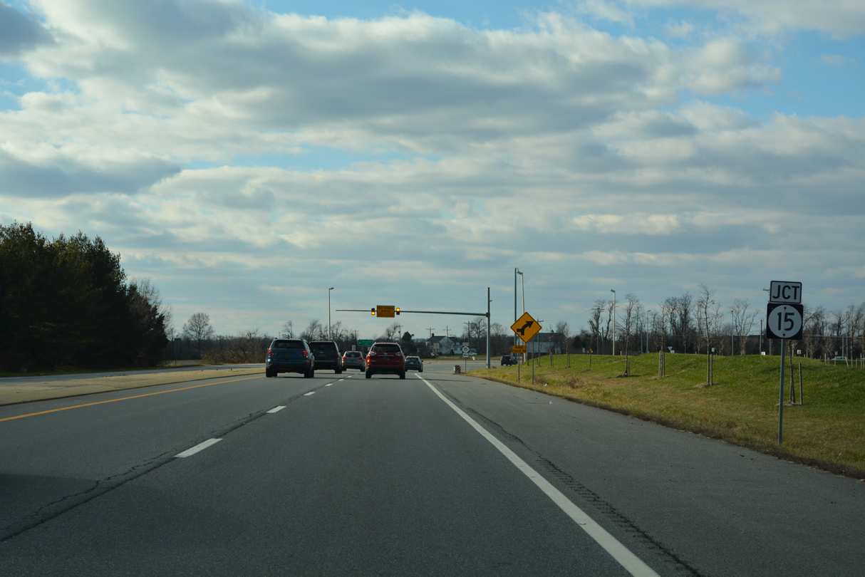
Armstrong Corner Road extends Marl Pit Road (Road 429) west 0.89 miles from SR 71 (Summit Bridge Road) to SR 15 (Choptank Road). Marl Pit Road arcs 3.90 miles east to the Parkside and Brick Mill Park developments en route to U.S. 13 near Odessa.
12/18/22
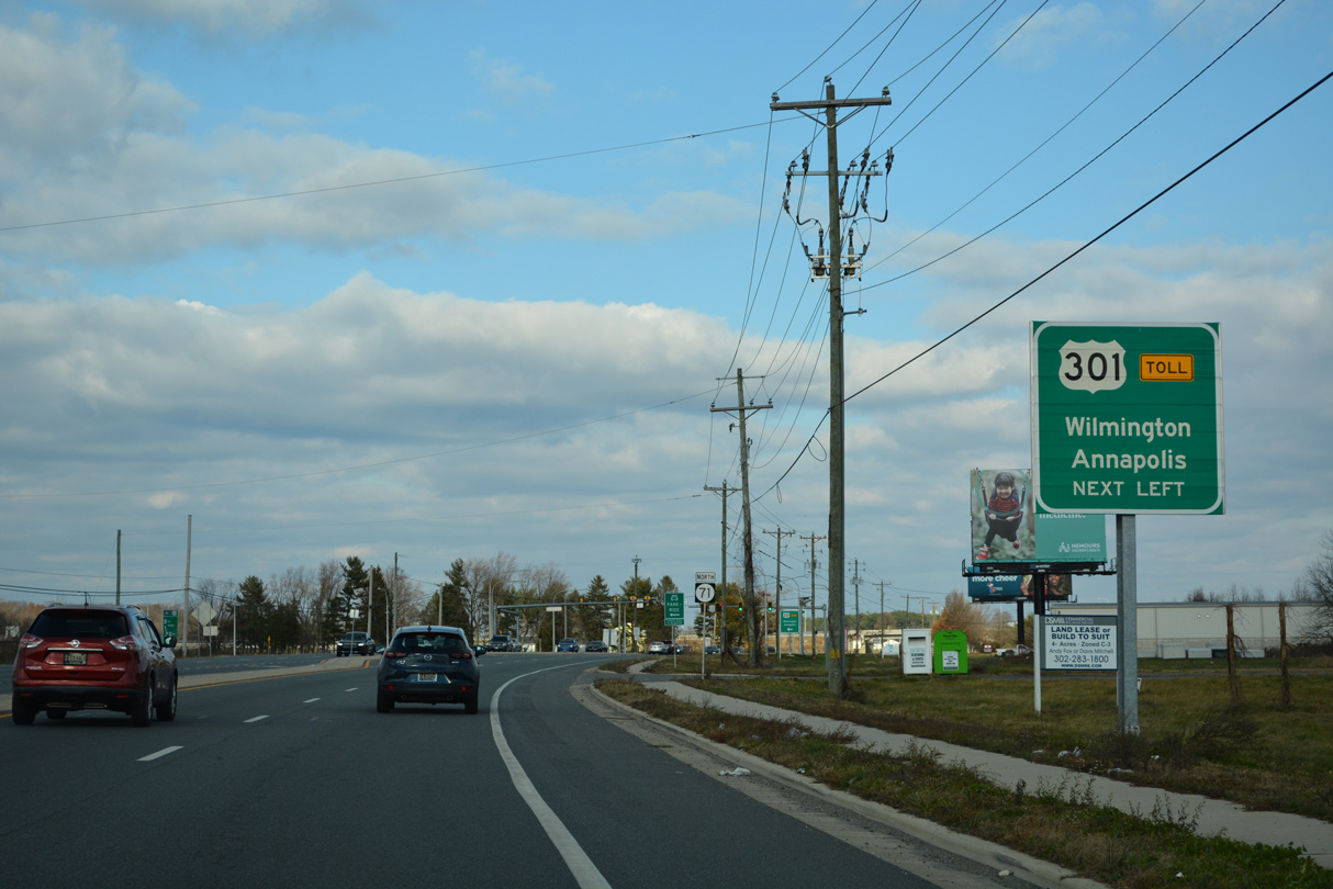
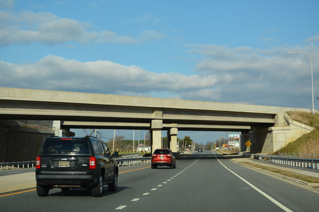
A dumbbell interchange (Exit 5) connects the U.S. 301 (First Responders Memorial Highway) with SR 71 (Summit Bridge Road) just north of Armstrong Corner and Marl Pit Roads.
12/18/22
12/18/22
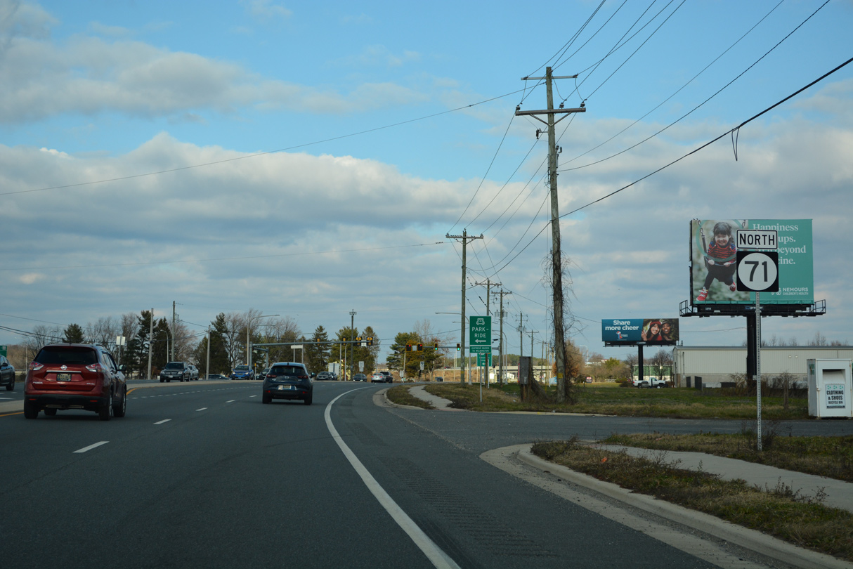
U.S. 301 turns northeast across SR 71 (Summit Bridge Road) en route to SR 1 near the Biddles Corner Toll Plaza and St. Georges.
12/18/22
12/18/22
12/18/22
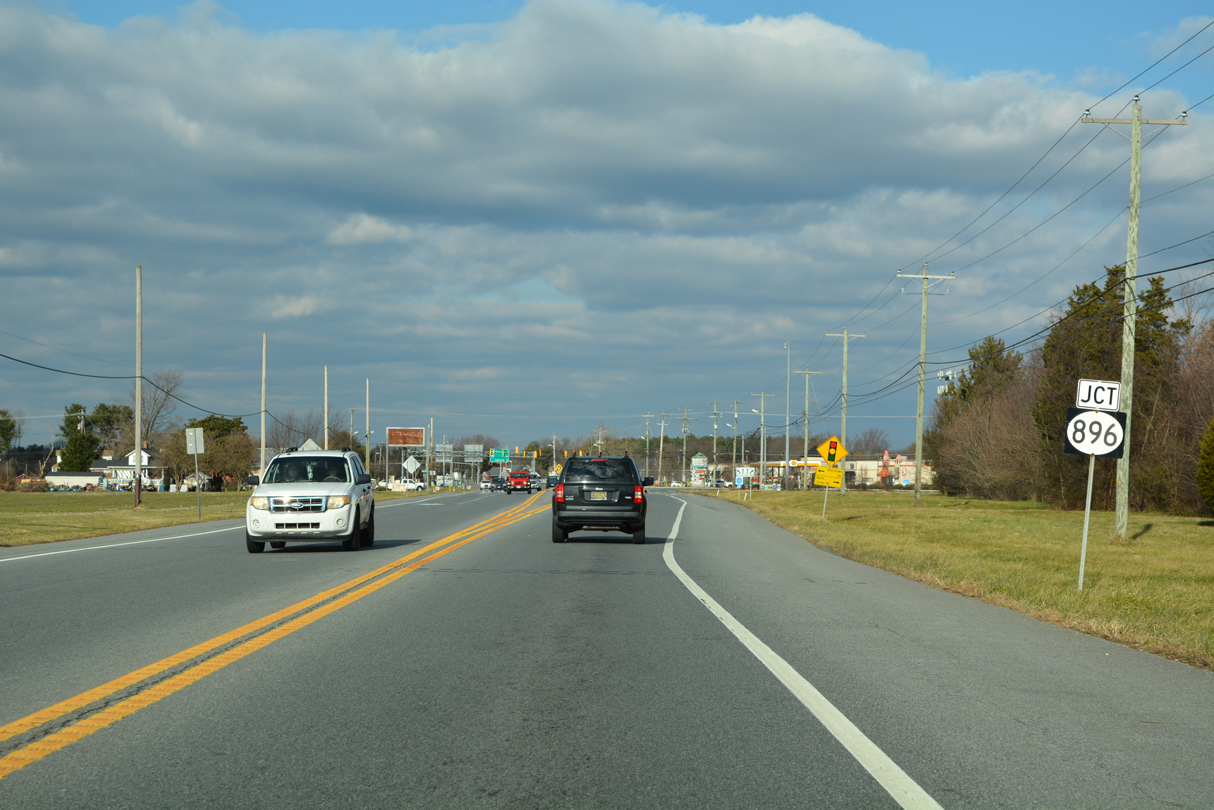
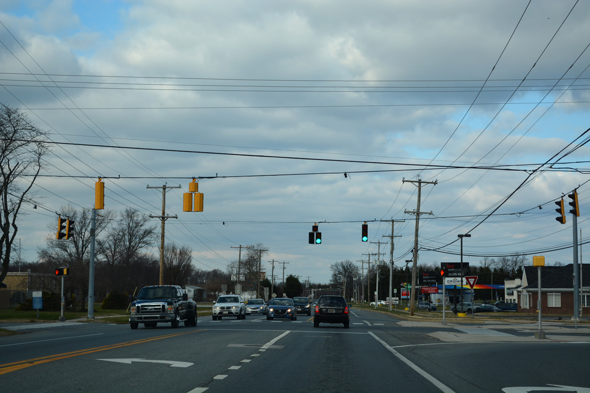
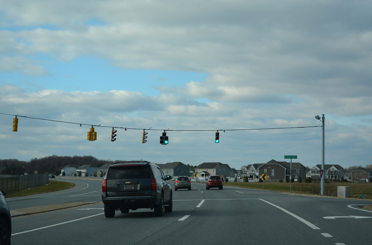
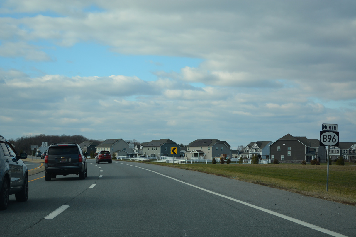
Entering Mount Pleasant, SR 71 (Summit Bridge Road) converges with SR 896 north at Boyds Corner and Churchtown Road (Road 432).
12/18/22
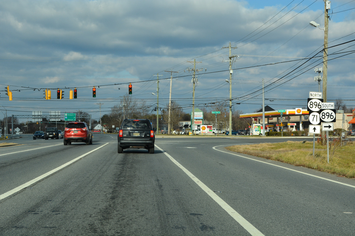
SR 896 (Boyds Corner Road) represents the alignment of U.S. 301 between Mount Pleasant and U.S. 13 prior to 1993. Churchtown Road extends 3.72 miles west from the route by a number of large lot subdivisions to MD 310 and St. Augustine.
12/18/22
 North
North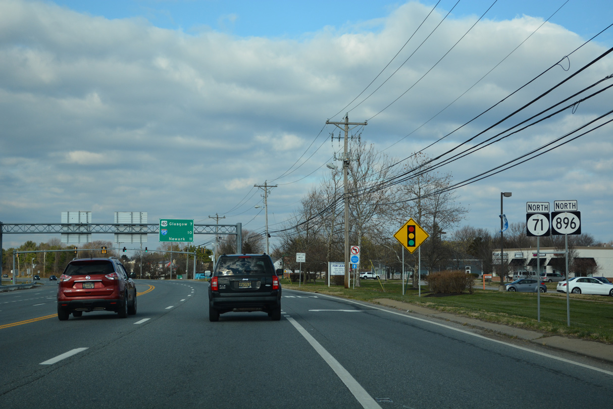
12/18/22
12/18/22
12/18/22
12/18/22
12/18/22
12/18/22
12/18/22
12/18/22
12/18/22

12/18/22

12/18/22
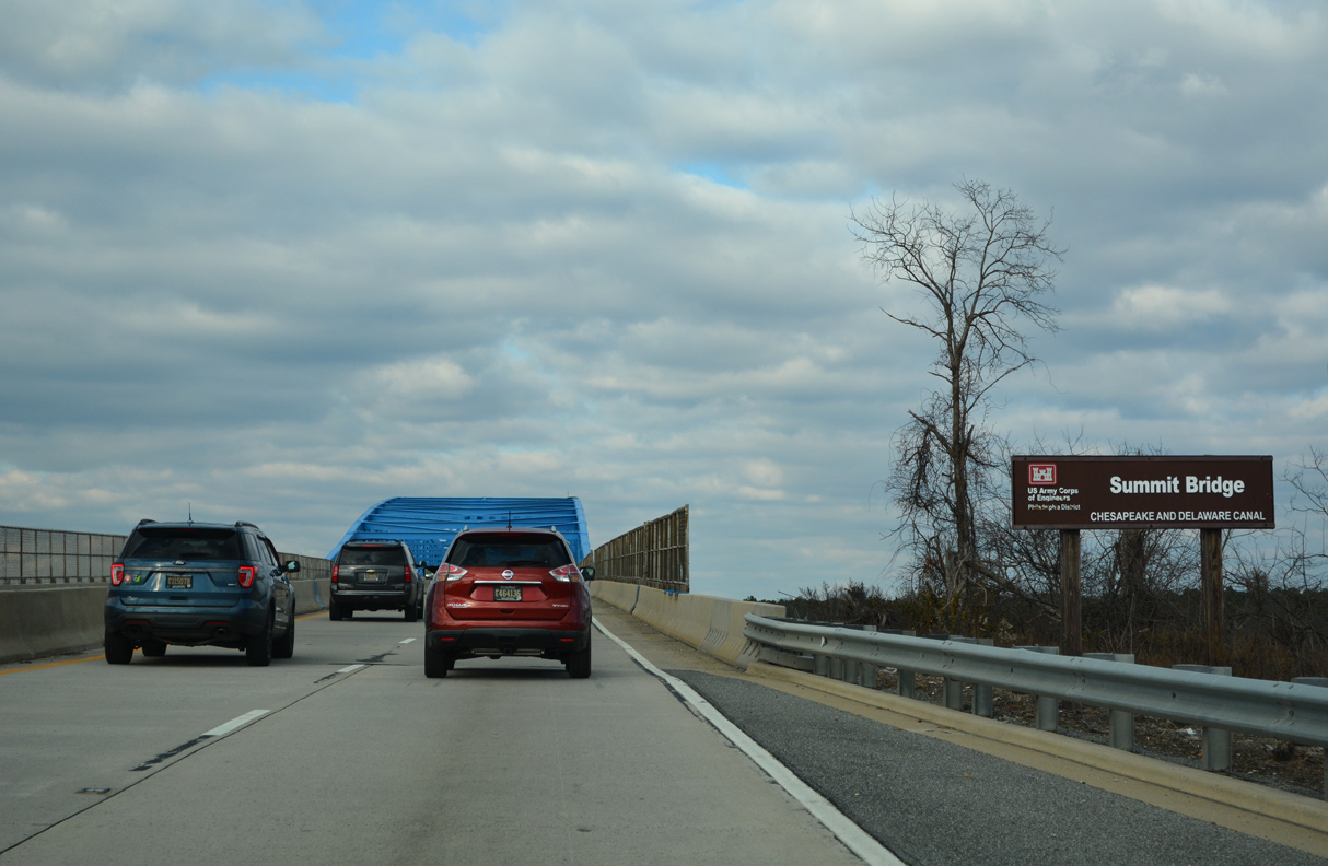
Maintained by the Army Core of Engineers, the Summit Bridge is a through truss bridge completed in 1960 as part of the 1954 Canal authorization plan.
12/18/22

Spanning the Chesapeake and Delaware Canal, together with the approaches, the Summit Bridge comprises a two mile long limited access expressway.
12/18/22
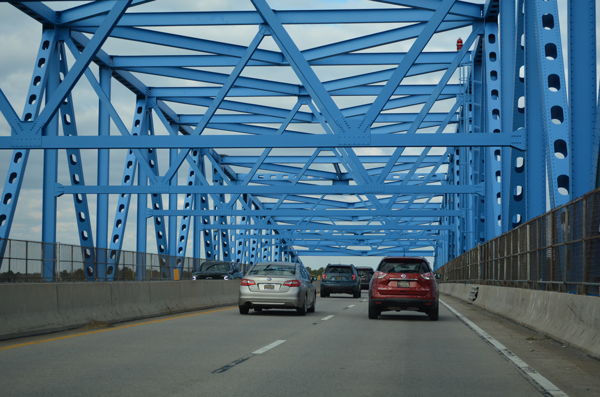
The Summit Bridge accommodates four overall lanes over a 64 foot wide deck.
12/18/22
12/18/22
12/18/22
12/18/22
North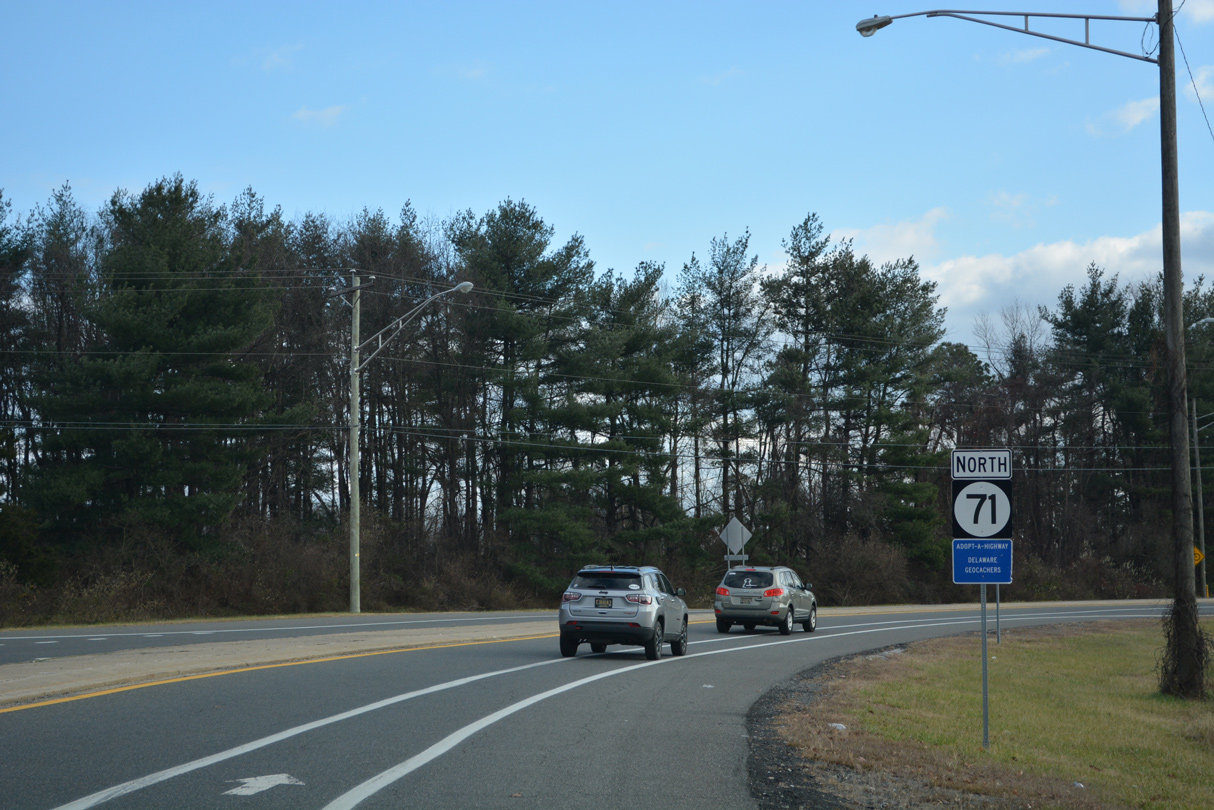
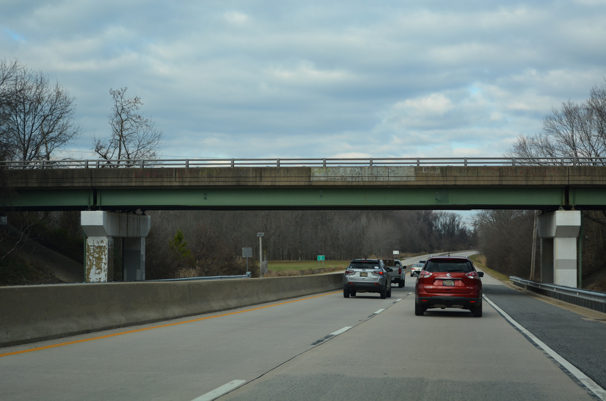
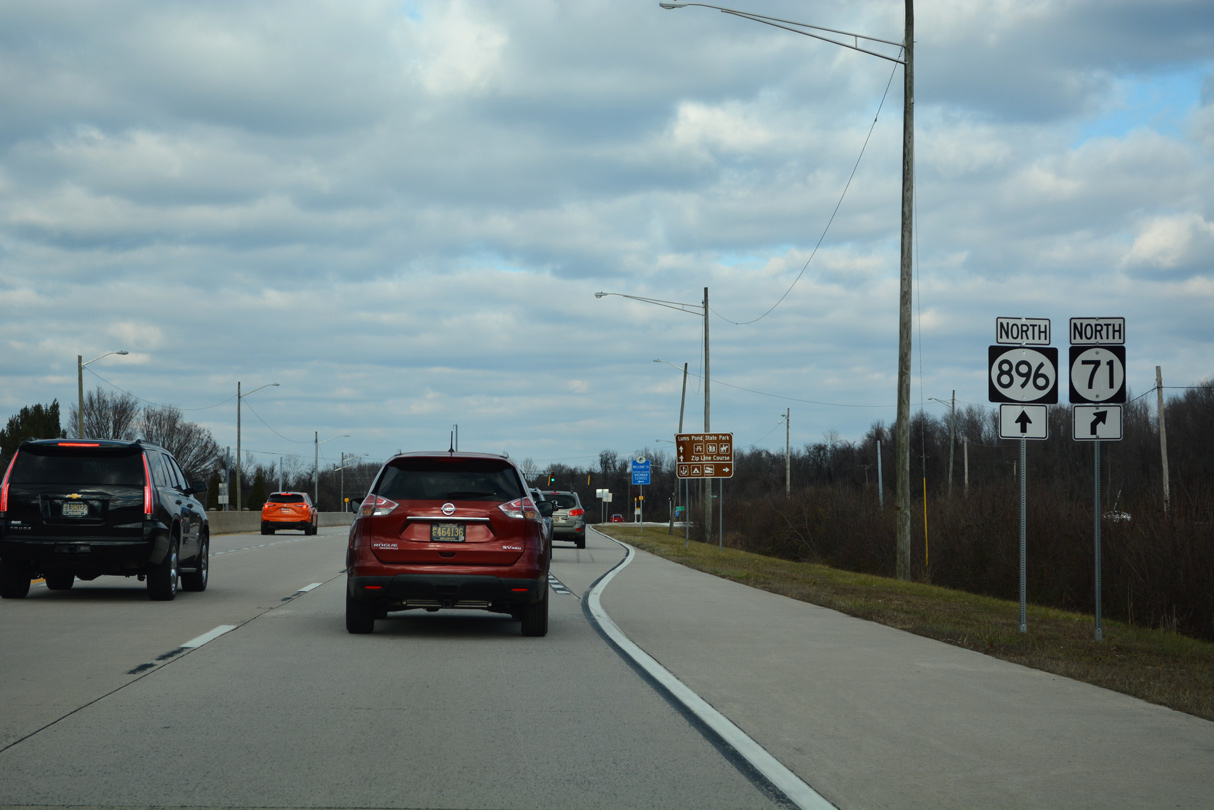
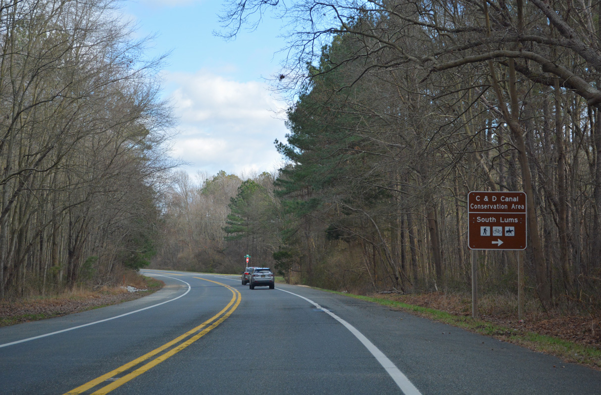
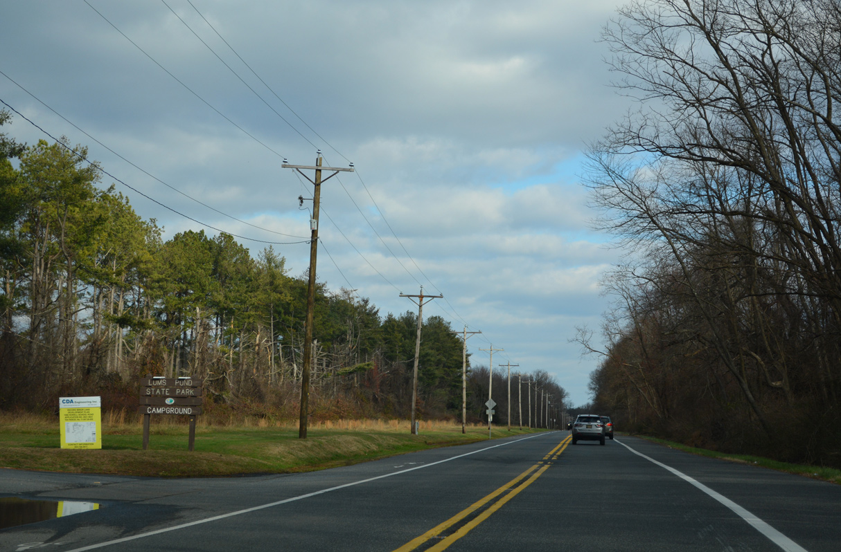
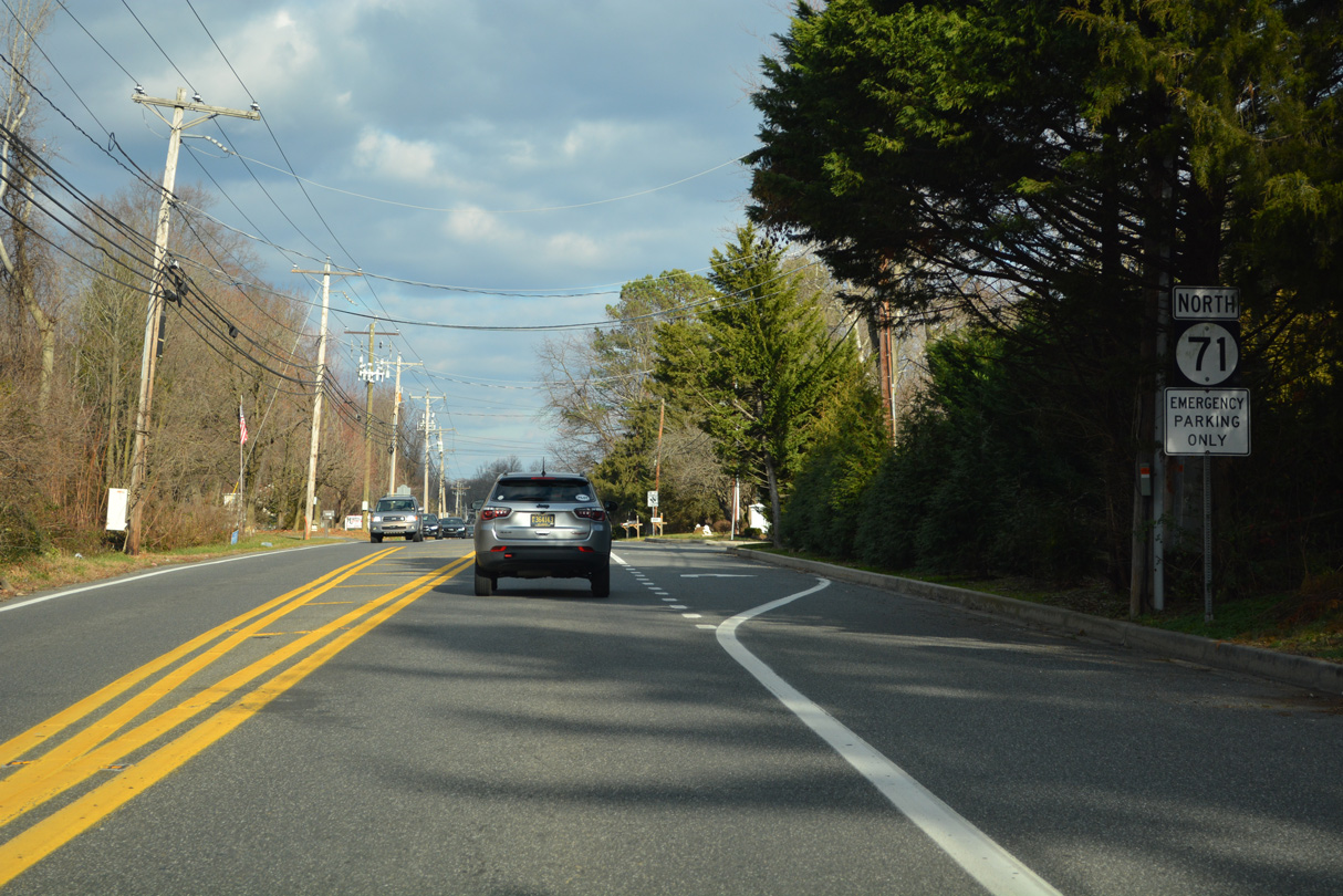
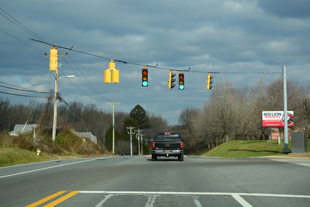
Northbound SR 71 (Red Lion Road) curves south and east around Lums Pond State Park between SR 896 and Kirkwood.
12/18/22
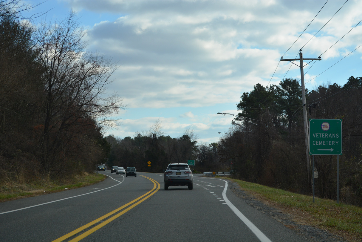
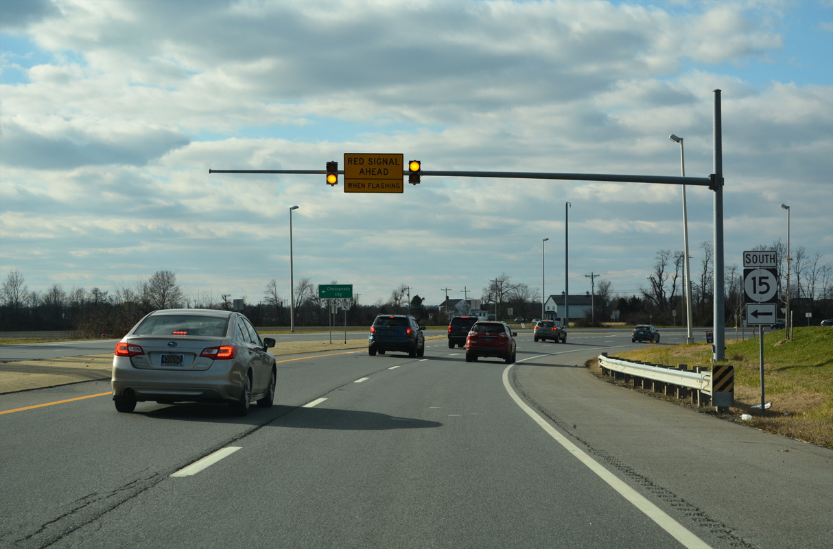
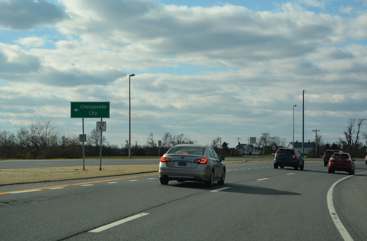
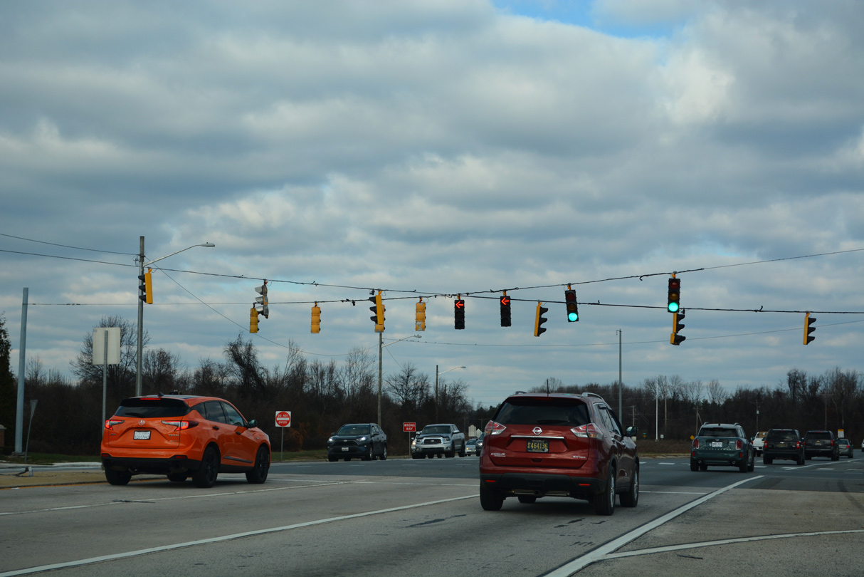
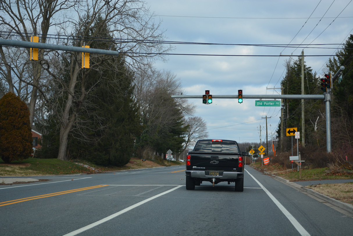
Chesapeake City Road (Road 399) stems west from SR 71 (Red Lion Road) to Delaware Veterans Memorial Cemetery and Chesapeake City, Maryland.
12/18/22
12/18/22
12/18/22
12/18/22
12/18/22
12/18/22
12/18/22
12/18/22

12/18/22
12/18/22
12/18/22
12/18/22
12/18/22

12/23/22
12/23/22
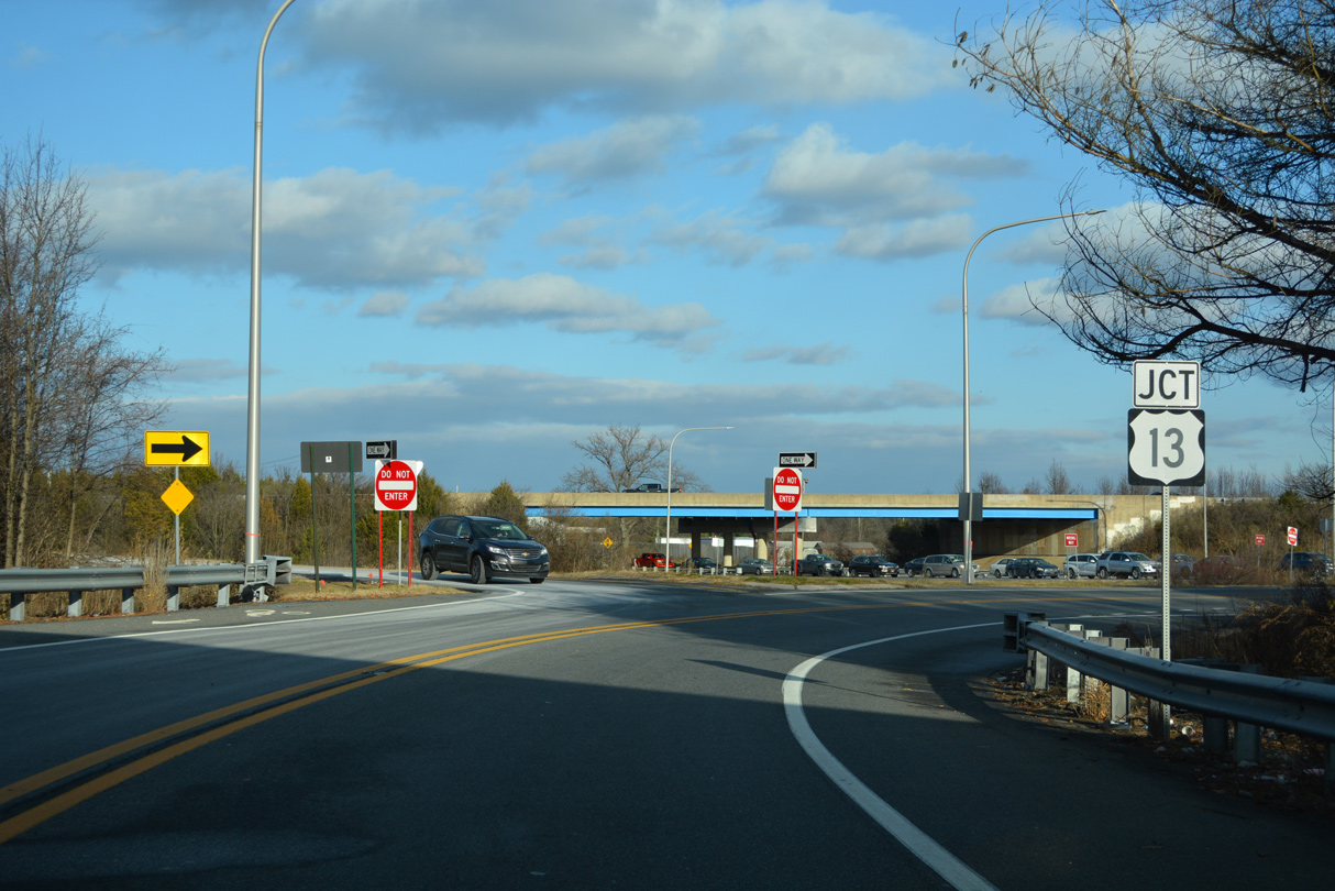
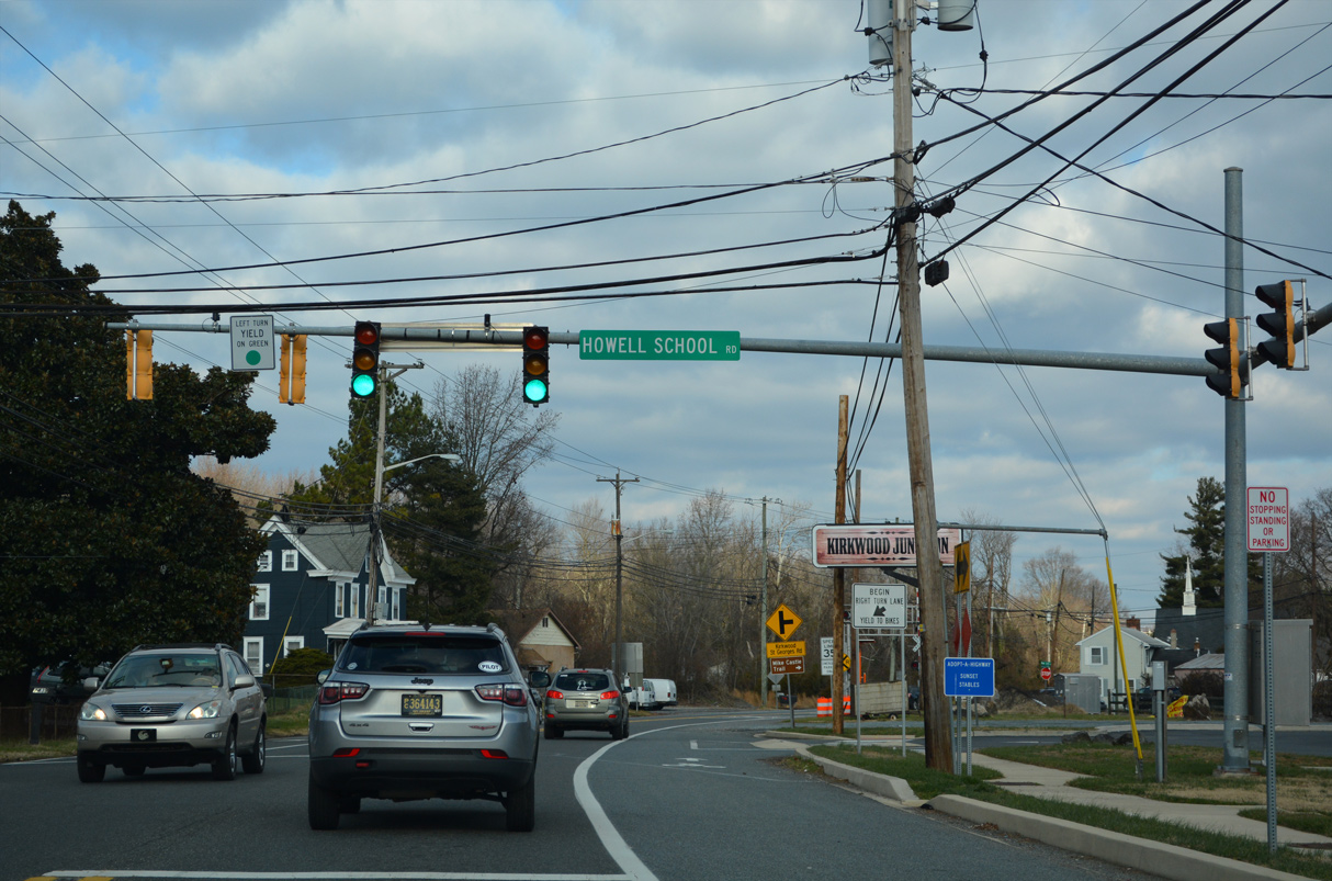
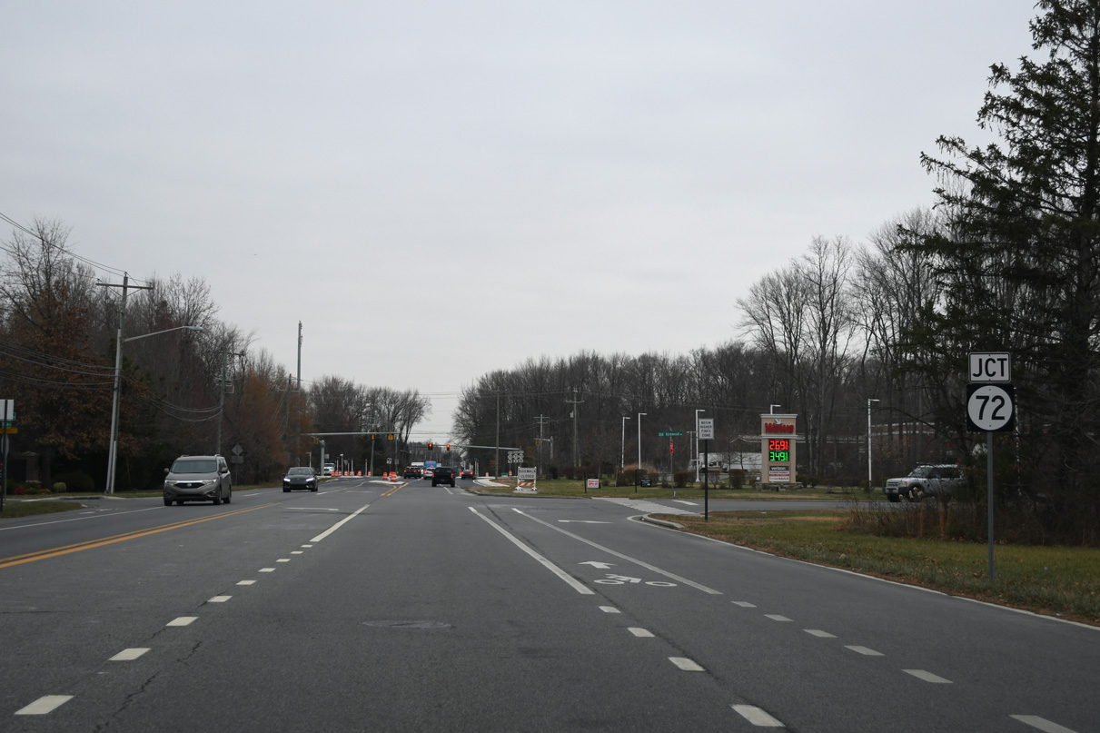
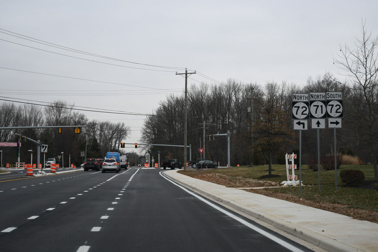
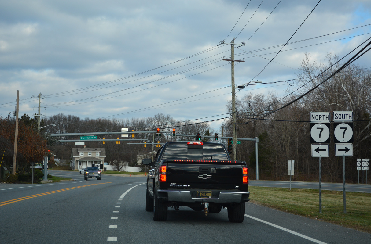
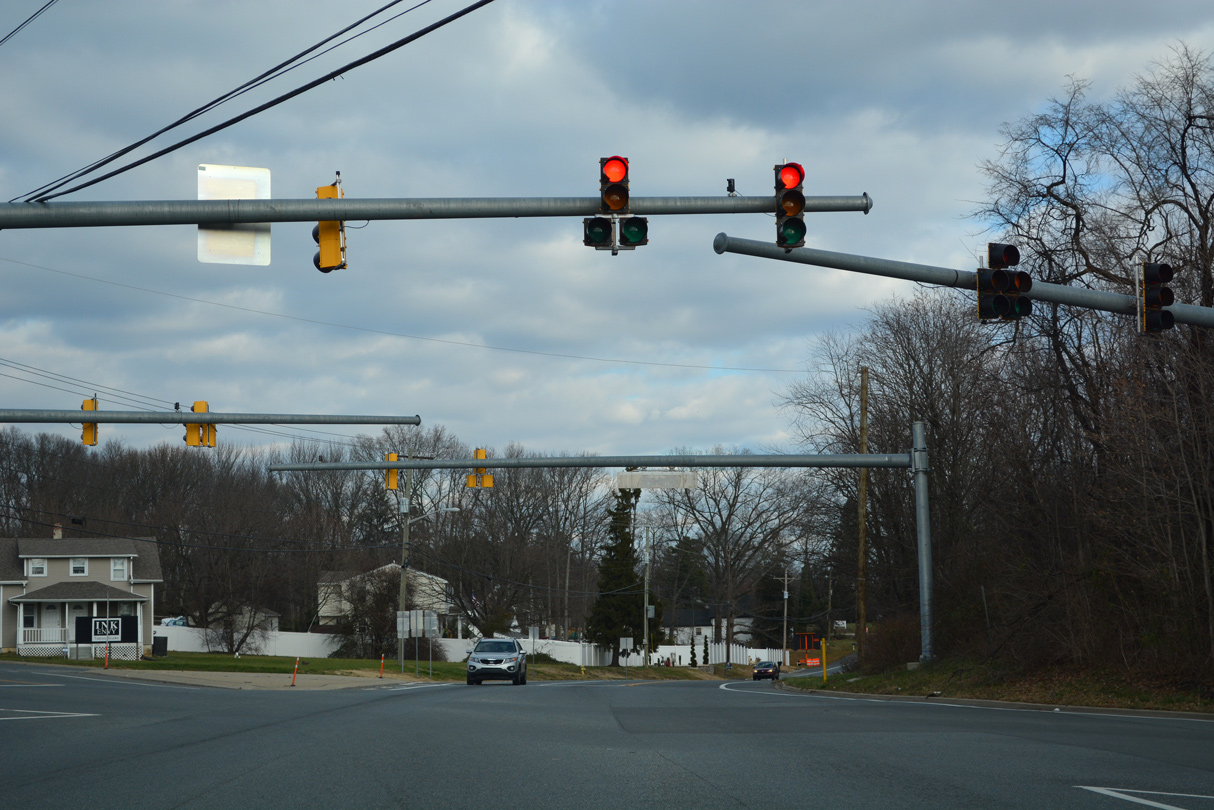
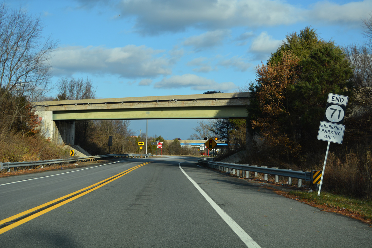
SR 71 (Red Lion Road) angles northeast from Red Lion to end within the trumpet interchange joining U.S. 13 (Dupont Highway) and SR 1.
12/23/22
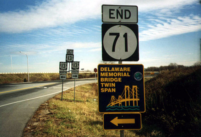
A previous end shield for SR 71 at Tybouts Corner. It was removed after 2009 and subsequently replaced with a new assembly further south. Traffic lights were activated here on October 25, 2007.
12/15/99
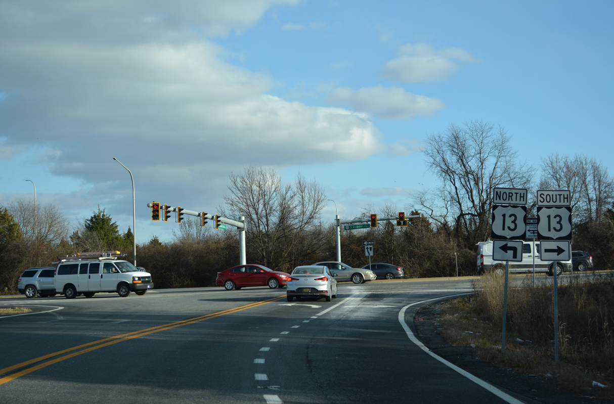
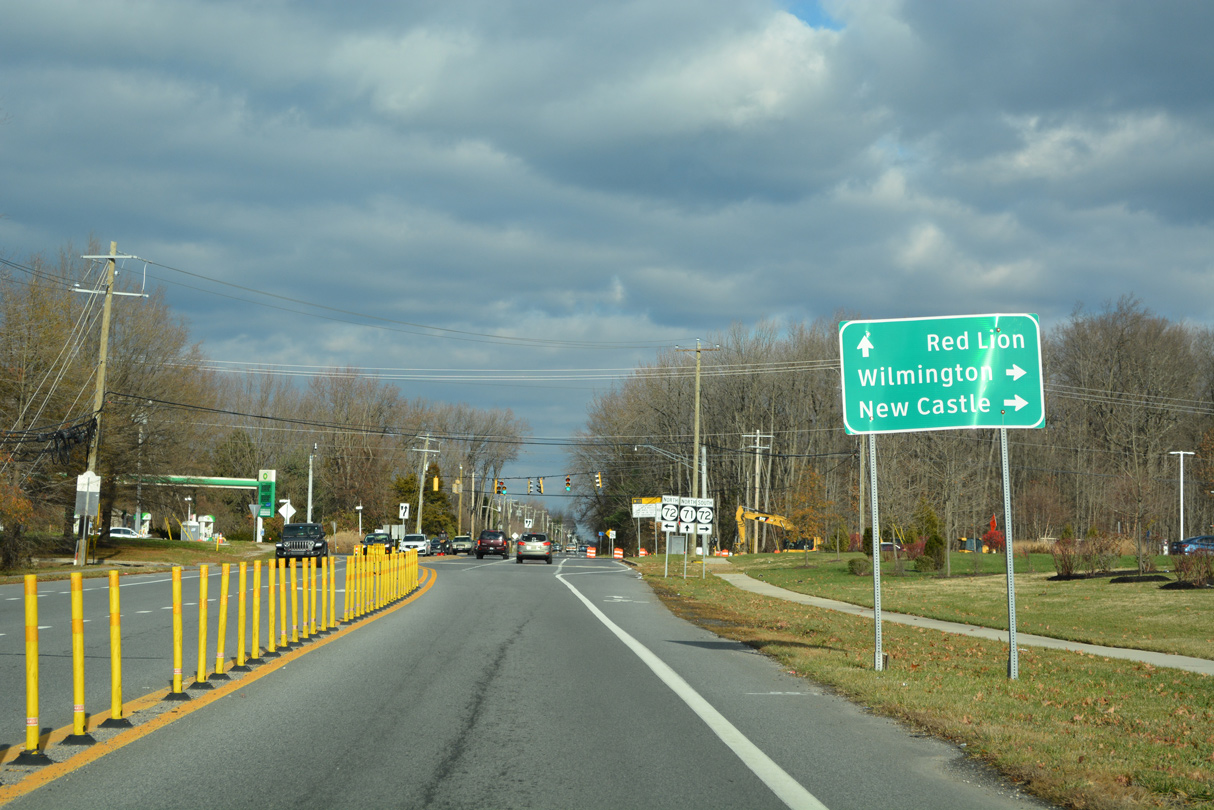
U.S. 13 (Dupont Highway) separates with SR 1 north to State Road, Hares Corner and Wilmington Manor. U.S. 13 combines with SR 1 south to SR 72 at Wrangle Hill.
12/23/22
Photo Credits:
12/15/99, 12/18/22, 12/23/22 by AARoads
Connect with:
U.S. 13
U.S. 301
State Route 7
State Route 15
State Route 72
State Route 299
State Route 896
Page Updated 01-07-2023.