|
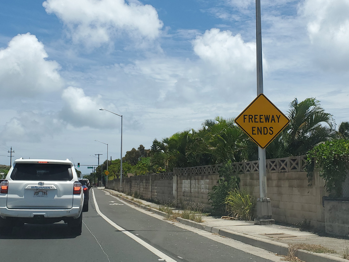
| The entrance ramp from Kealaolu Avenue to I-H1 eastbound ties into the east end of the Lunalilo Freeway at Route 72 and Kalanianaole Highway. 08/16/19 |
|
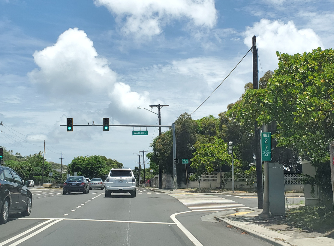
| Waikui Street north and Ainakoa Avenue south come together where Route 72 east begins. Both street serve residential areas adjacent to Kalanianaole Highway. 08/16/19 |
|
| Waieli Street north and Kalaniiki Street south converge at the succeeding traffic light on Route 72 (Kalanianaole Highway) east. Waialae Country Club and golf course lie to the south. 08/16/19 |
|
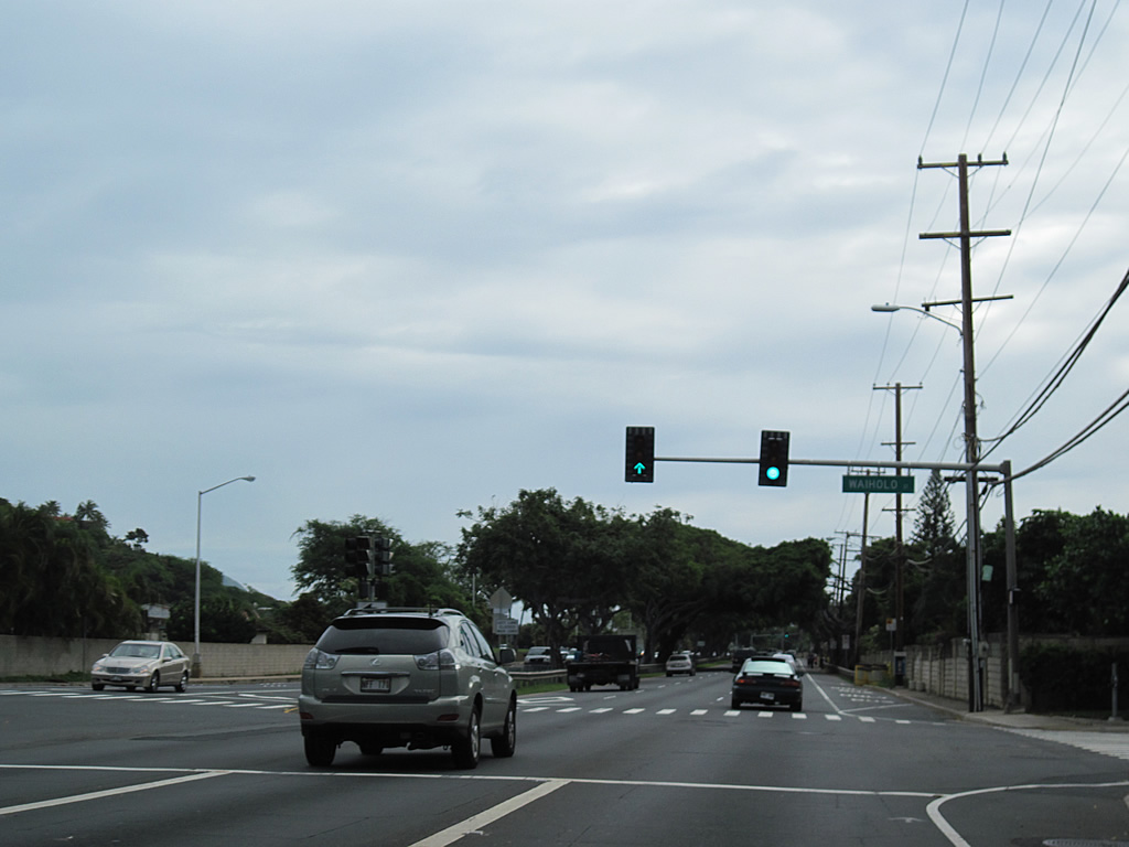
| Waiholo Street loops south and east from Waieli Street to intersect Route 72 across from Laukahi Street. Laukahi Street (Route 7948) winds northward to connect with homes along Wiliwilinui Ridge. 01/18/11 |
|
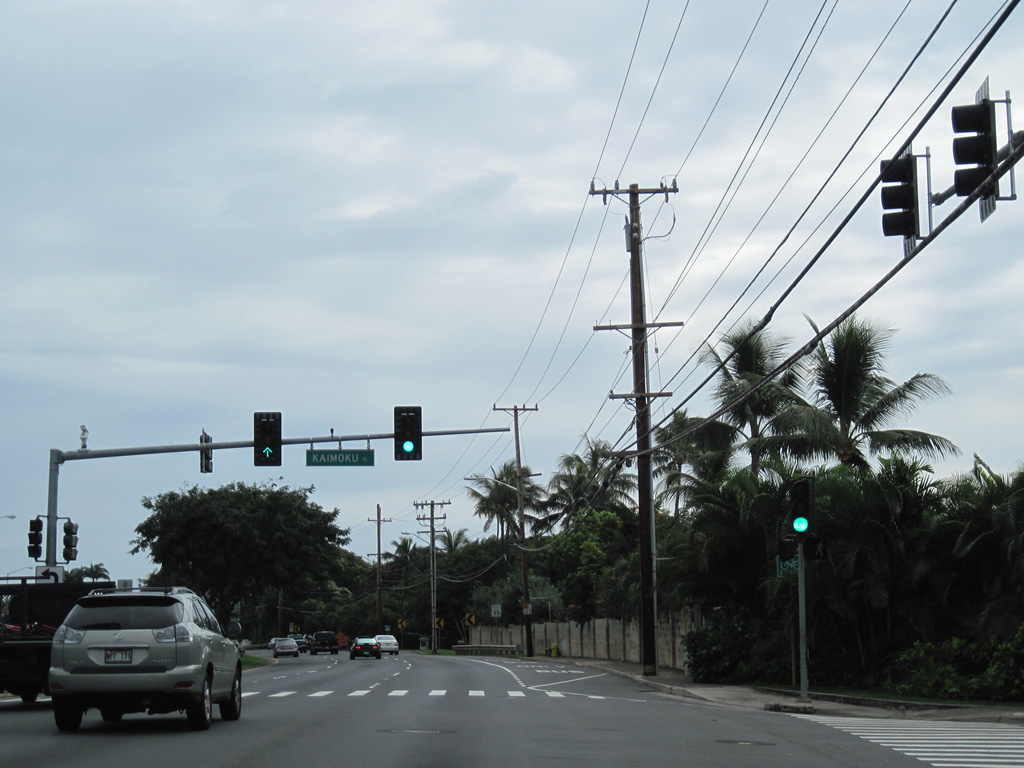
| Kaimoku Place and Analii Street come together at Route 72 (Kalanianaole Highway) near Waialae Iki Park. 01/18/11 |
|
| Wailupe Circle ties into Route 72 from the Wailupe community along Wailupe Peninsula, south of Kalanianaole Highway on Maunalua Bay. 01/18/11 |
|
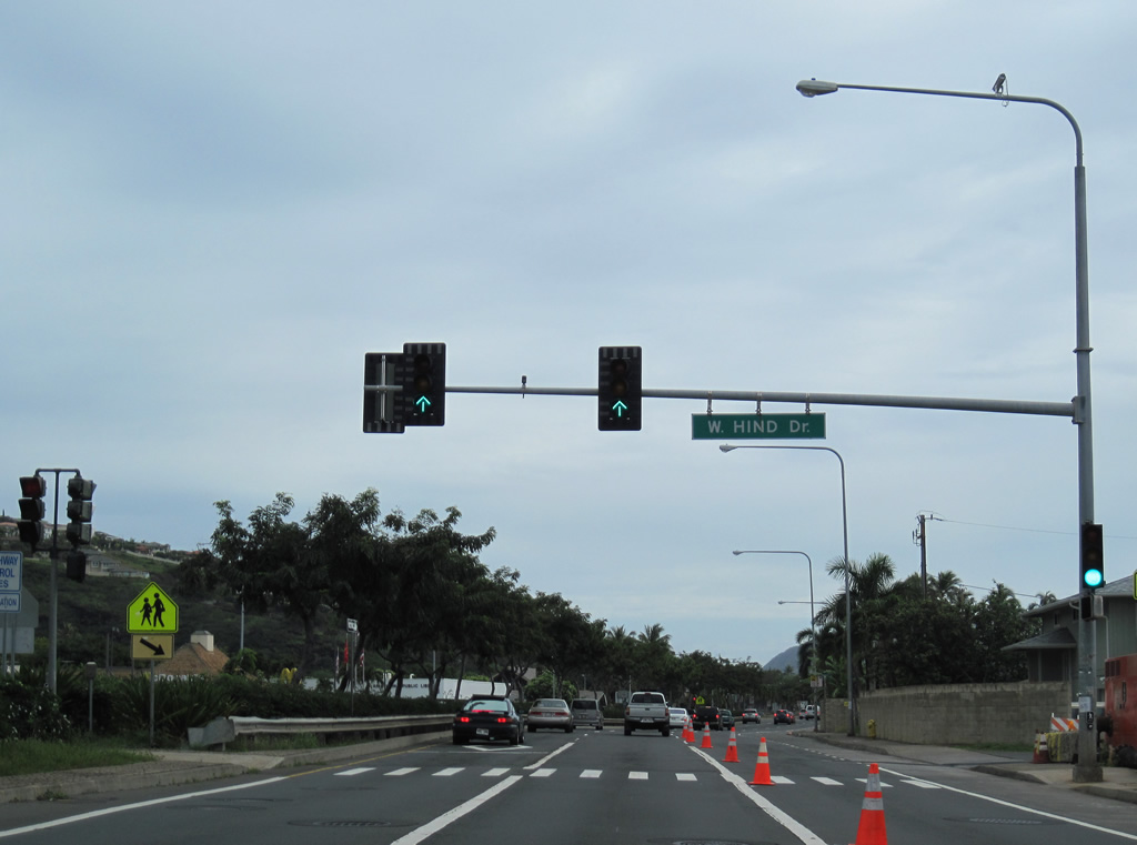
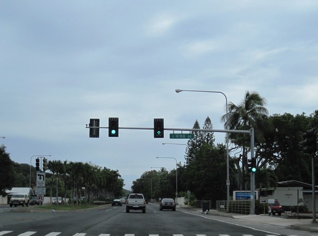
| West and East Hind Drive comprise Route 7942 north through the Aina Haina community from Route 72 (Kalanianaole Highway). 01/18/11 |
|
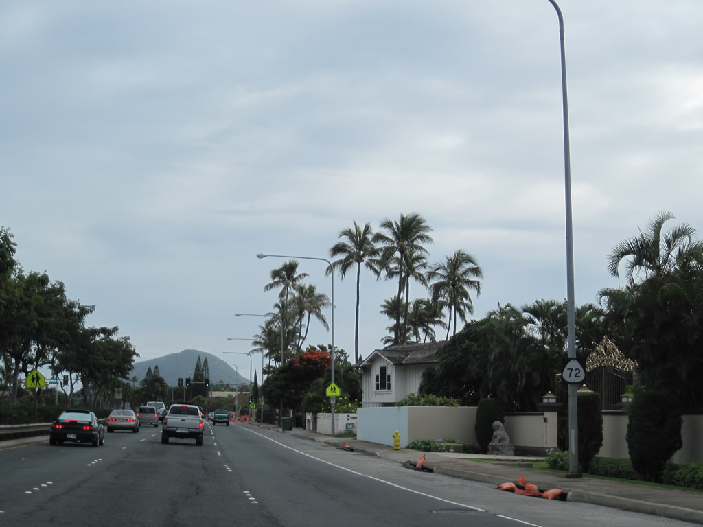
| Route 72 shield posted along a six lane stretch of Kalanianaole Highway after W Hind Drive. 01/18/11 |
|
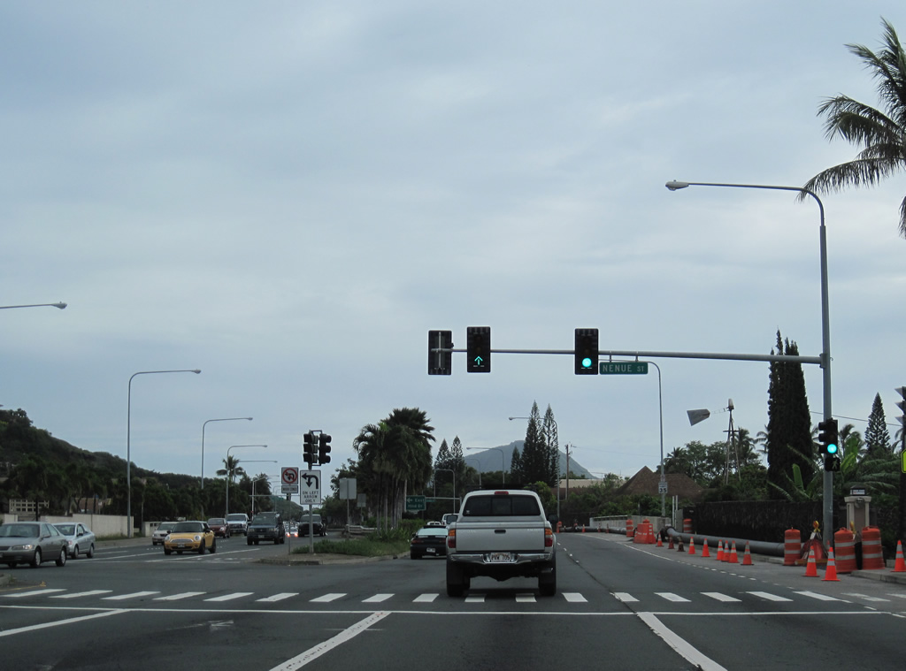
| Nenue Street is a residential street looping north and west around Aia Haina Shopping Center between Route 72 and W Hind Drive. 01/18/11 |
|
| Route 7942 returns to Route 72 along E Hind Drive from the Wailupe Gulch area north of Aina Haina. 01/18/11 |
|
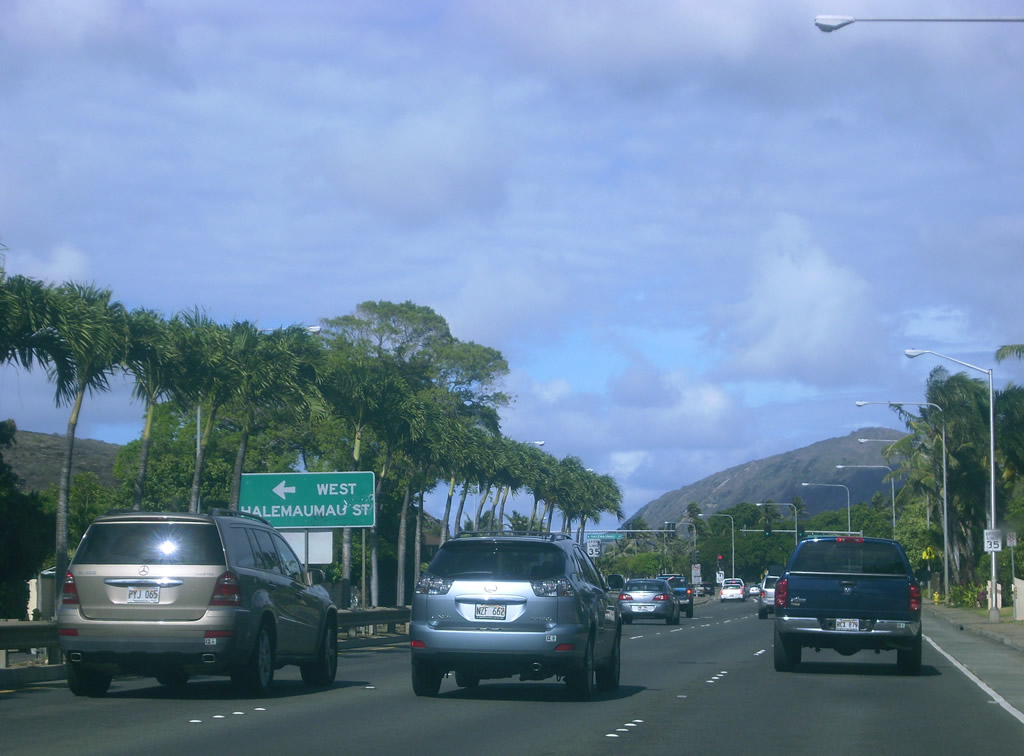
| Entering Niu Valley, Route 72 (Kalaniana'ole Highway) intersects W Halemaumau Street. Halemaumau Street constitutes a residential loop north of the state route. 07/29/10 |
|
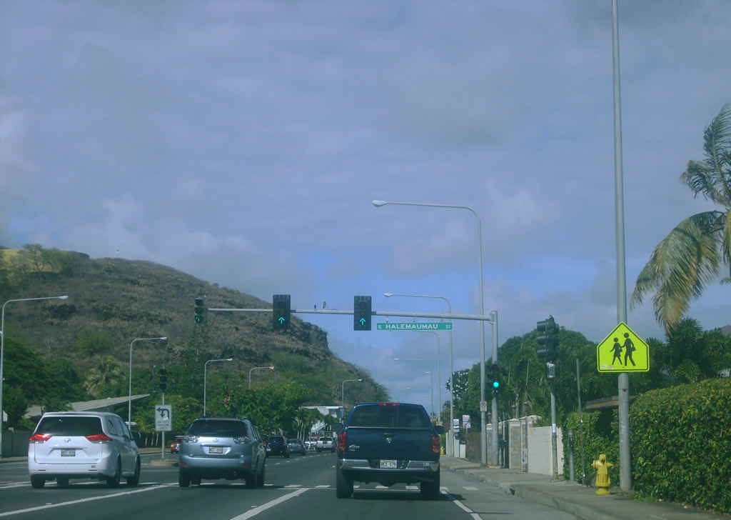
| E Halemaumau Street ties into Route 72 (Kalaniana'ole Highway) east at the succeeding traffic light. 0.822 miles in length, Halemaumau Street is also Route 7944. 07/29/10 |
|
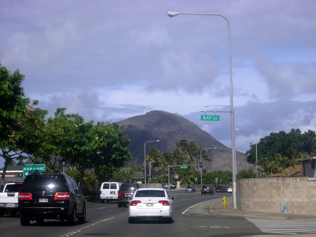
| Route 72 (Kalaniana'ole Highway) east at Bay Street in the Kuli'ou'ou community. Kawaihae Street loops northward from the ensuing traffic light on Route 72 to Hawaii Kai Drive. 07/29/10 |
|
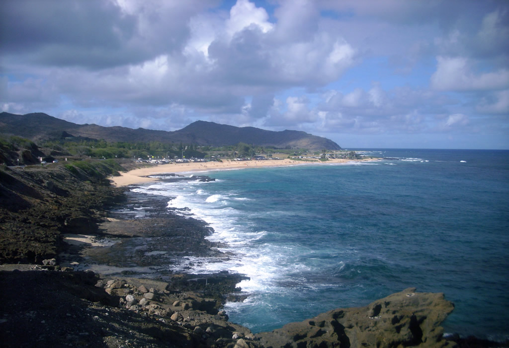
| Views of Koko Head and Maunalua Bay from Route 72 where Kalaniana'ole Highway straddles Maunalua Bay Beach Park. 07/29/10 |
|
| Route 72 intersects Lunalilo Home Road at Hawaii Kai. Lunalilo Home Road (Route 7947) south leads 0.25 miles to the Portlock community. Lunalilo Home Road (Route 7910) runs 1.73 miles north to Kamilo Valley. A reassurance shield for Route 72 follows. 07/29/10 |
|
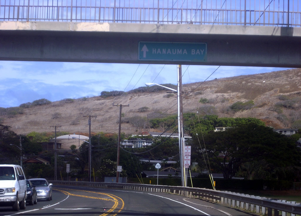
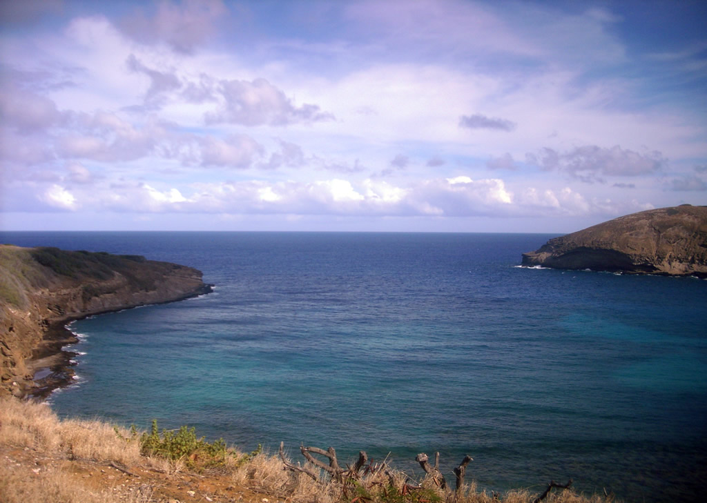
| Route 72 (Kalaniana'ole Highway) travels between Hanauma Bay State Park and Koko Head District Park north of Hanauma Bay. 07/29/10 |
|
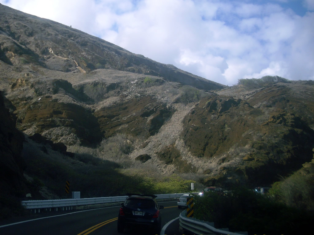
| Route 72 weaves north through Koko Head Regional Park between the Pacific Ocean and Koko Crater. 07/29/10 |
|
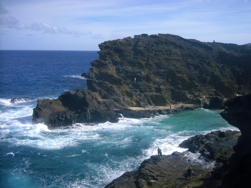
| Viewing Sandy Beach and Halona Point from the Halona Blowhole Lookout along Route 72. 07/29/10 |
|
| The view of Halona Beach Cove from the Halona Blowhole Lookout along Route 72. 07/29/10 |
|
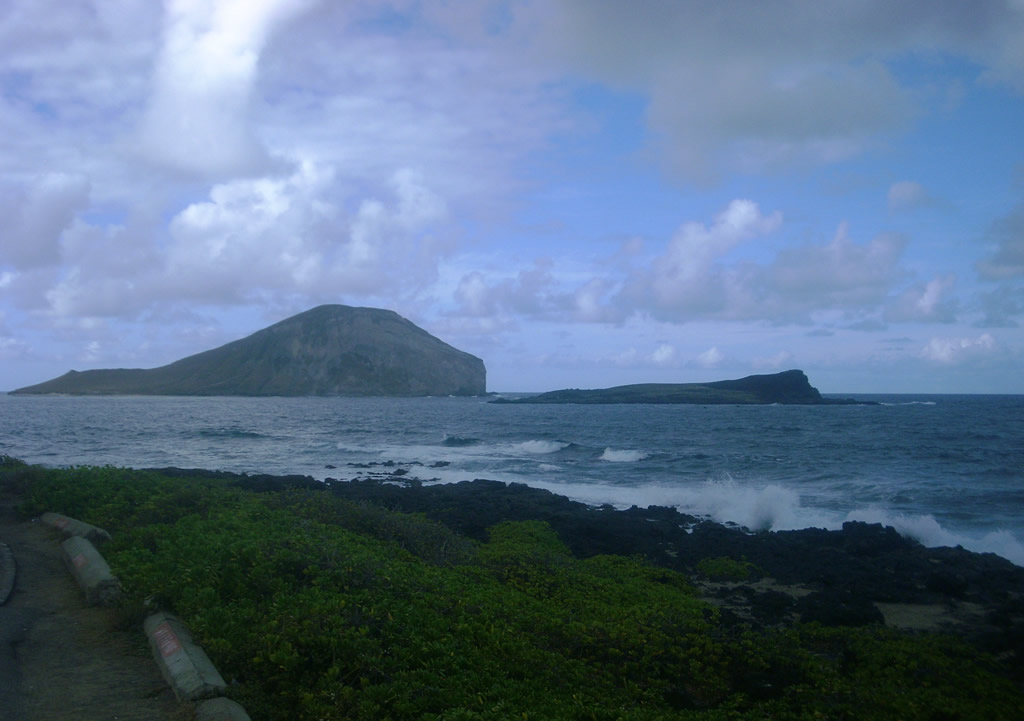
| Route 72 continues north by Makapu'u Head to Makapu'u Beach Park. Manana and Kaohikaipu Islands lie to the north. 07/29/10 |
|
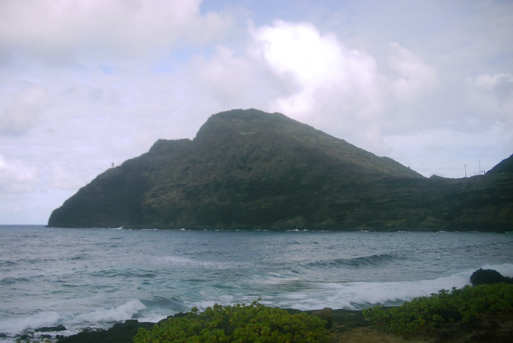
| Makapu'u Point east of Makapu'u Beach Park and Route 72. 07/29/10 |
|
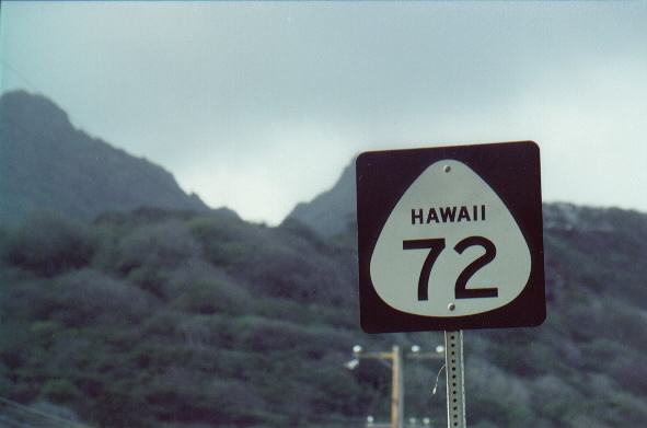
| Reassurance marker Route 72 formerly posted along Kalanianaole Highway at Waimanalo Beach. Older shields for state routes in Hawaii included the state name. 11/15/99 |
Page Updated 01-21-2024.