|
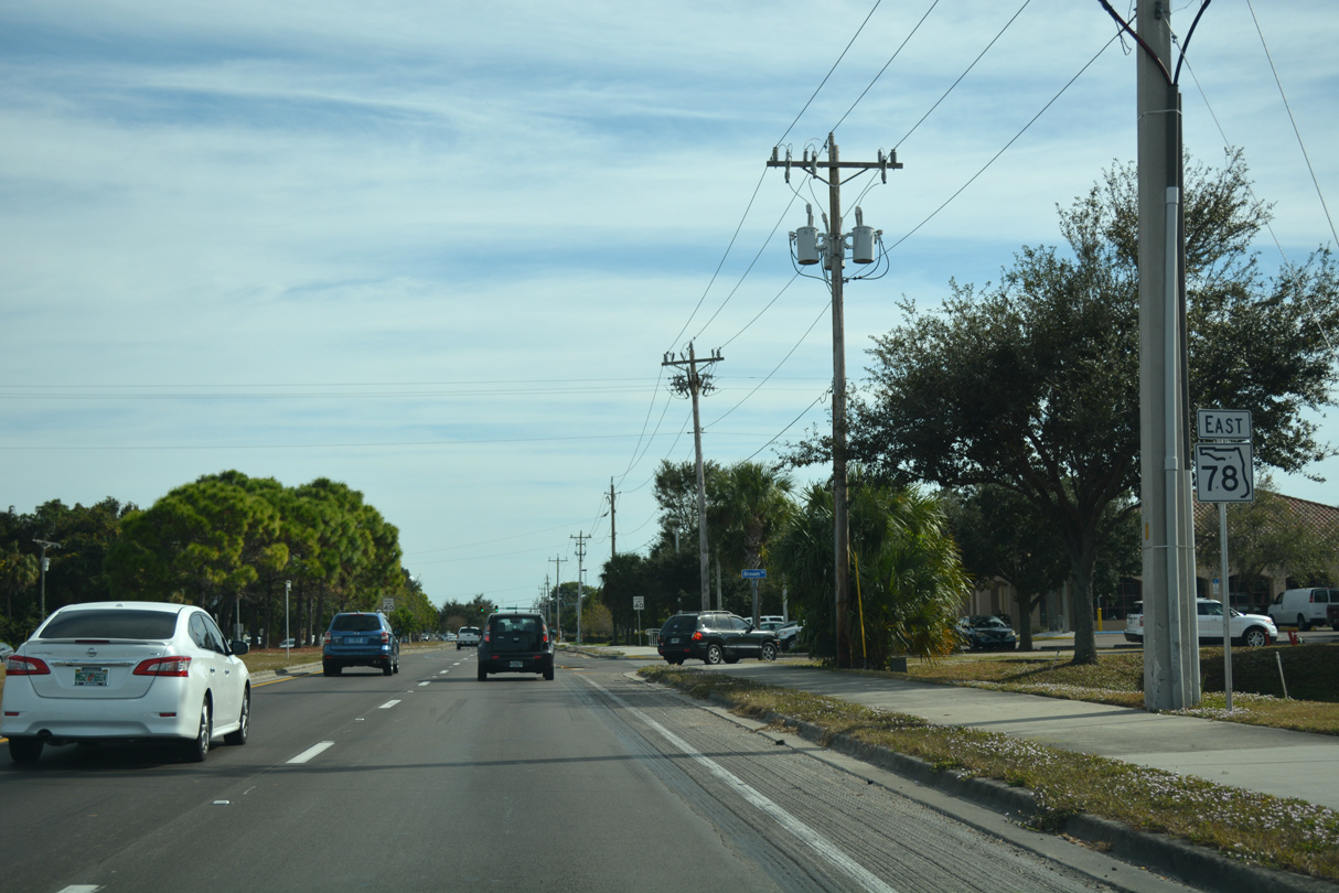
| CR 78 (Pine Island Road) commences a 5.47 mile long route east toward Matlacha and Cape Coral from CR 767 (Stringfellow Road) on Pine Island. 10/01/17 |
|
| Lee County Road 78 provides the only evacuation route from Pine Island to Cape Coral and North Fort Myers in mainland Lee County. 10/01/17 |
|
| County Road 78 crosses Pine Island Creek onto Little Pine Island. The ensuing stretch traverses areas of Charlotte Harbor State Park. 10/01/17 |
|
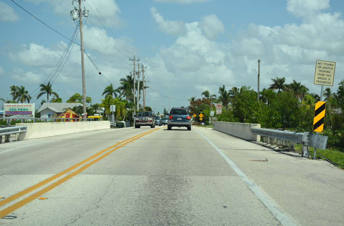
| Curving northeast from Little Pine Island, the first of three bridges along CR 78 at Malatcha spans Pine Island Pass. 10/01/17 |
|
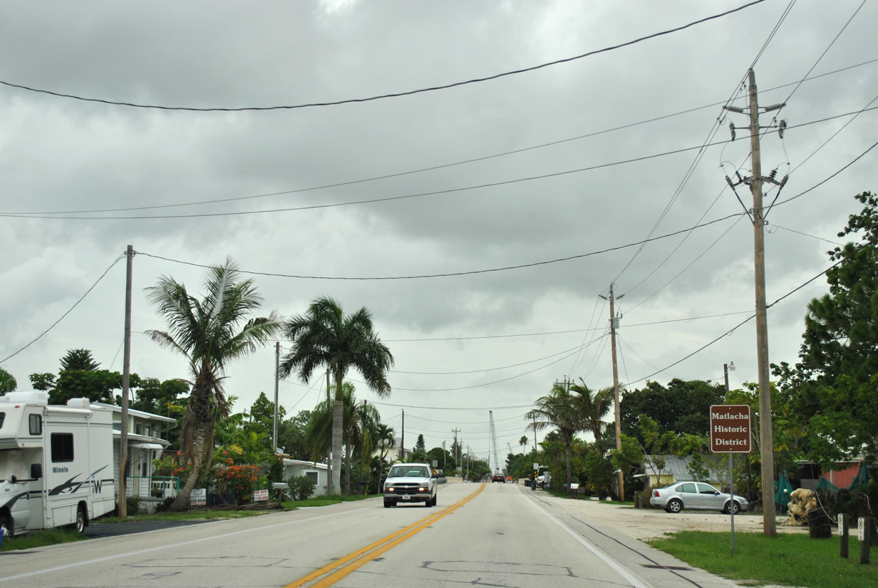
| Advancing eastbound through the fishing community of Matlacha and its historic district. Situated on an island created from dredging during the 1920s, Matlacha has become a popular fishing destination filled with old-style Florida charm. 07/08/11, 10/01/17 |
|
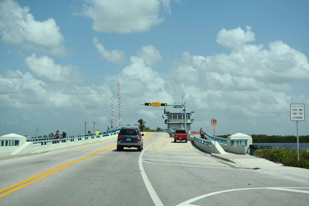
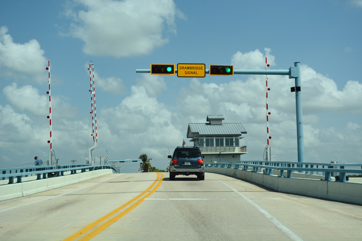
| County Road 78 crosses the Matlacha Pass Bridge from Porpoise Point Island to mainland Lee County on a bascule span. 10/01/17 |
|
| Completed by November 2012, the Matlacha Pass Bridge replaced a 1969 concrete bascule bridge. The original crossing here was a wooden swing bridge built in 1927. 10/01/17 |
|
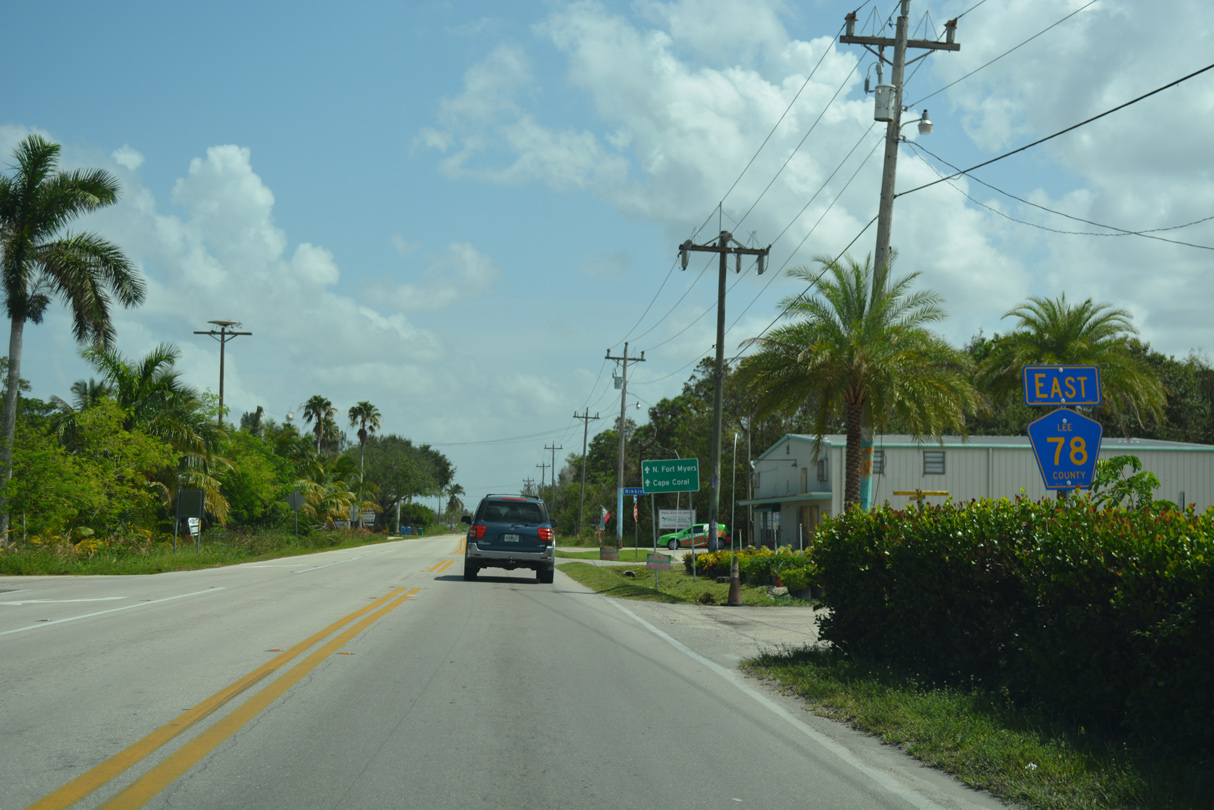
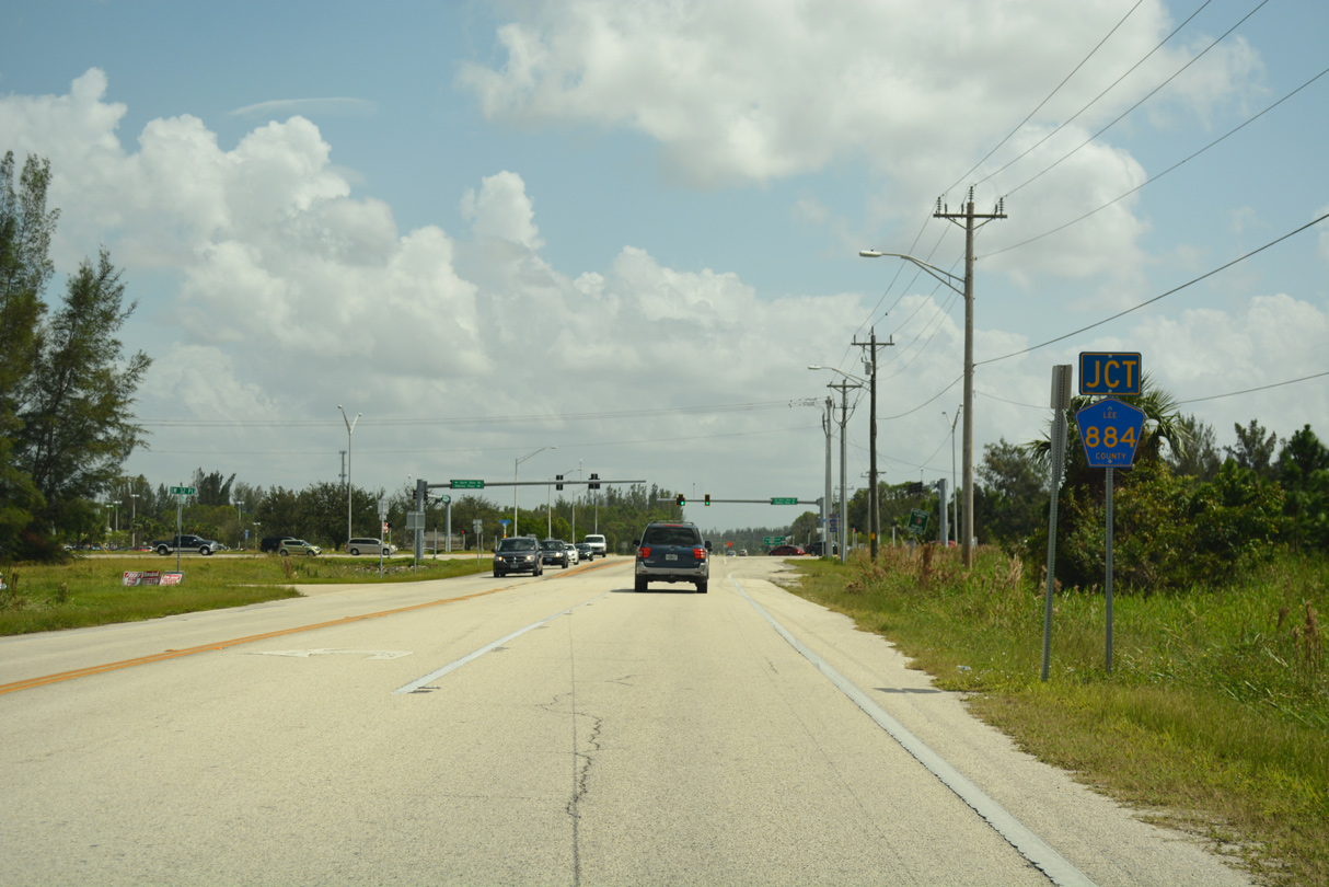
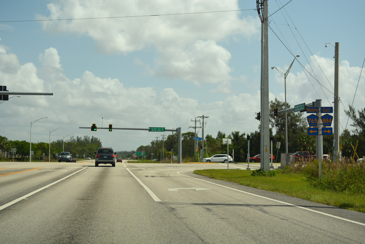
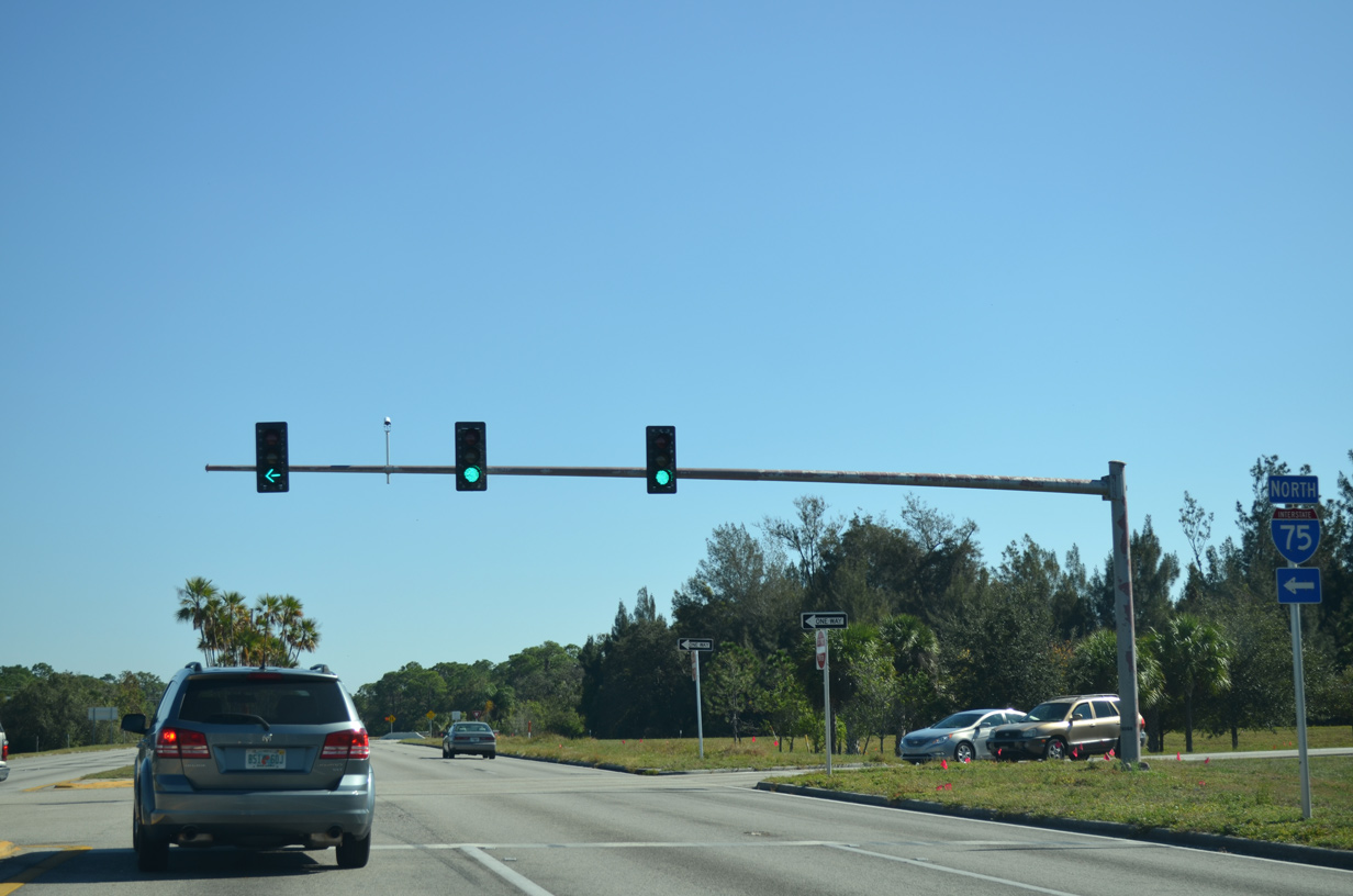
| CR 78 east converges with CR 765 north, CR 884 east and SR 78 east. Burnt Store Road carries CR 765 north into Charlotte County while Veterans Parkway takes CR 884 south and east through Cape Coral into Fort Myers. 10/01/17 |
|
| CR 884 (Veterans Parkway) enters Fort Myers from Cape Coral via the Midpoint Memorial Bridge. SR 884 continues east from U.S. 41 to I-75, with a second segment of CR 884 extending east into Lehigh Acres. SR 78 takes over Pine Island Road east from CR 78. 10/01/17 |
|
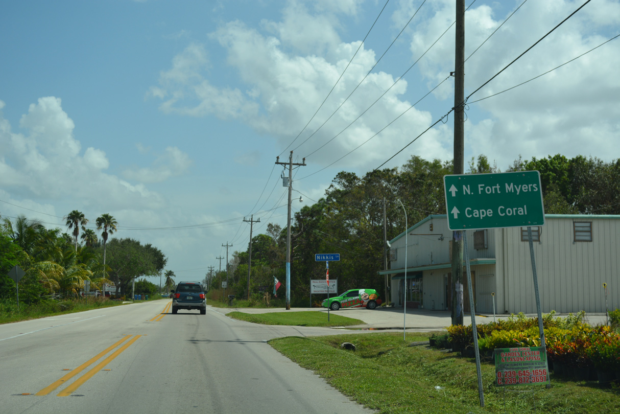
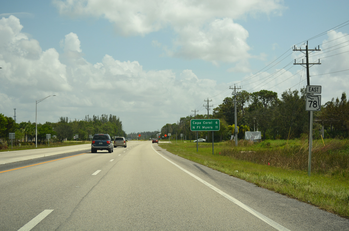
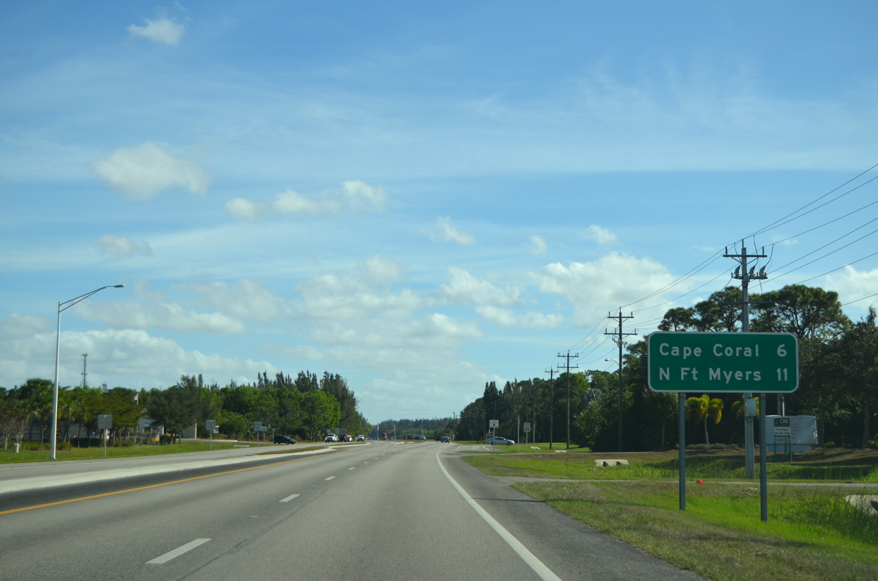
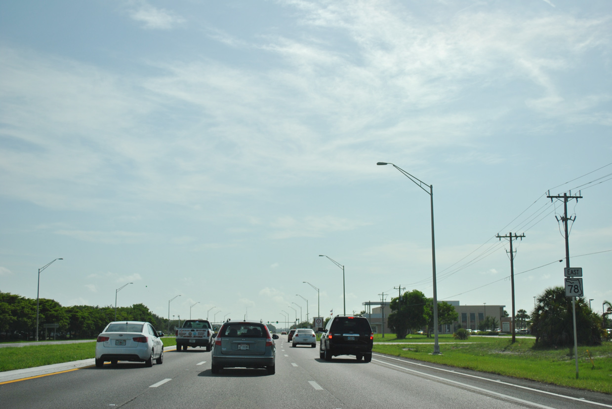
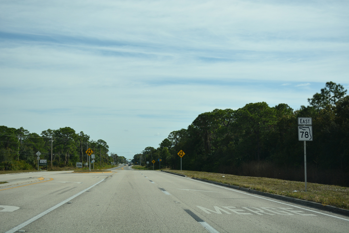
| Continuing across the city of Cape Coral, SR 78 (Pine Island Road) travels 18.93 miles to North Fort Myers and SR 31. 10/01/17 |
|
| A project scheduled for completion in mid 2015 expanded the two lane portion between Burnt Store Road and Chiquita Boulevard, making the entire stretch of SR 78 multi lane east to I-75. The new lanes opened here by Fall 2014. 12/26/16 |
|
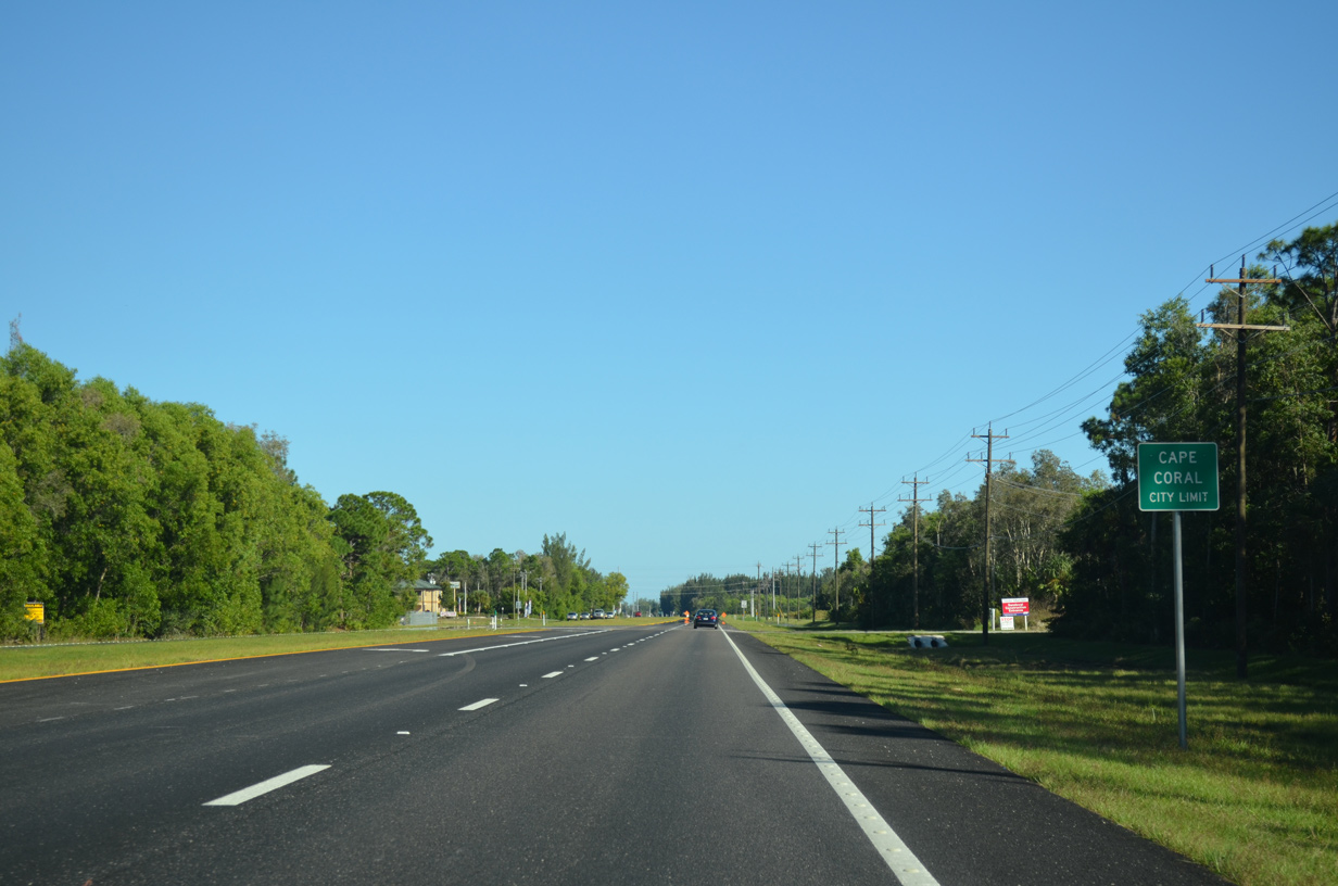
| SR 78 (Pine Island Road) enters Cape Coral ahead of Sandoval Parkway and the Coralina apartment complex built in 2017. 11/28/19 |
|
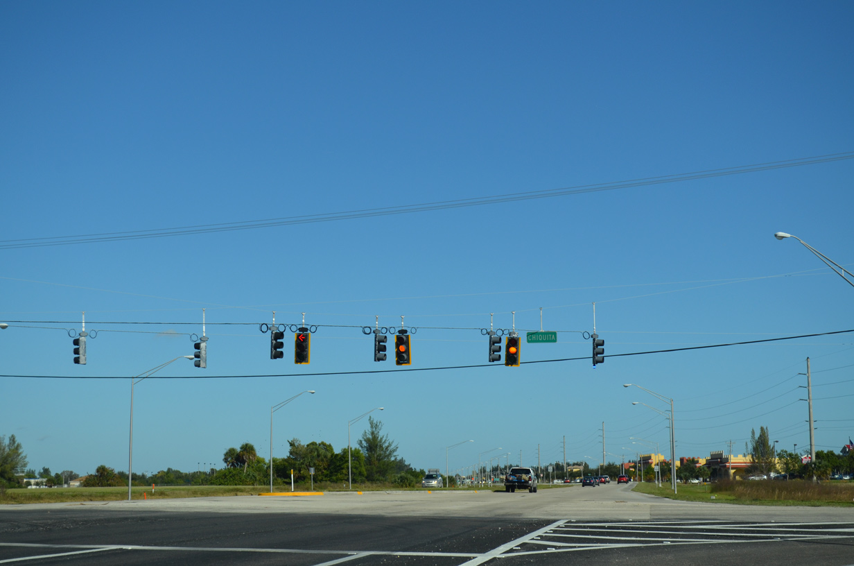
| Chiquita Boulevard travels south from SR 78 to CR 884 (Veterans Parkway) and Cape Coral Parkway and north to Diplomat and Kismet Parkways. 11/28/19 |
|
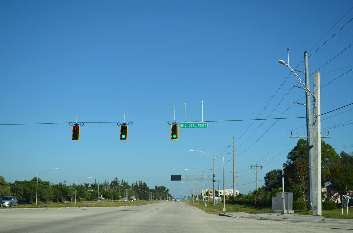
| Nicholas Parkway crosses SR 78 to the east of Skyline Boulevard. The local collector connects Pine Island Road with Embers Parkway to the west and Santa Barbara Boulevard to the east. 10/23/22 |
|
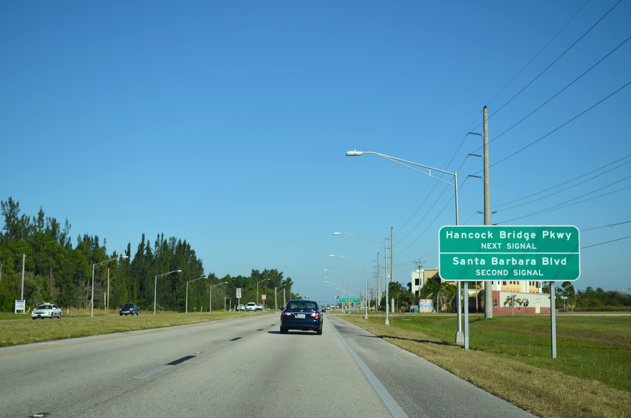
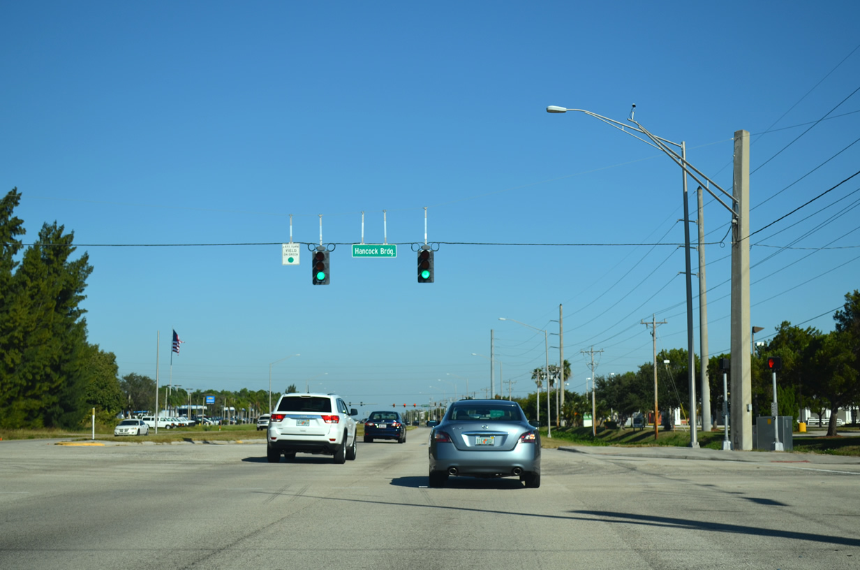
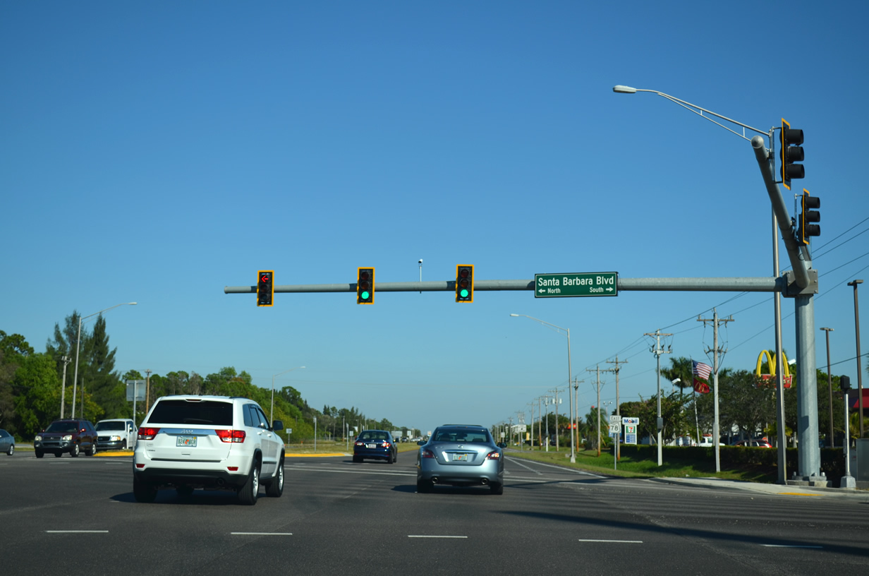
| The succeeding traffic signals along SR 78 east are at Hancock Bridge Parkway and Santa Barbara Boulevard. Hancock Bridge Parkway ties into SR 78 from Santa Barbara Boulevard. 11/28/13 |
|
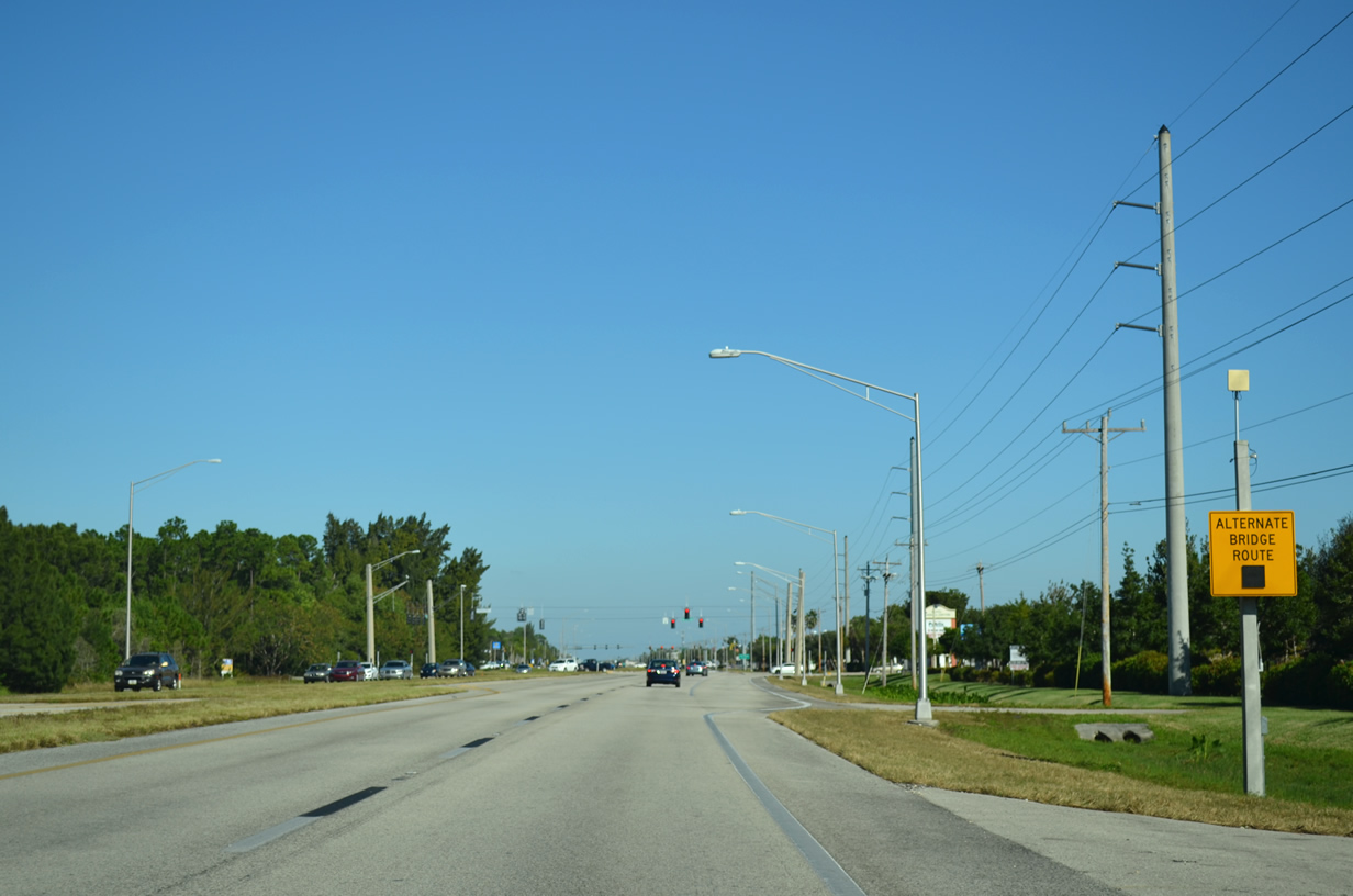
| Alternate bridge route signs are posted along several routes in Cape Coral and North Fort Myers. These activate when one of the area bridges become unusable to motorists. 10/23/22 |
|
| Hancock Bridge Parkway branches east from SR 78 (Pine Island Road) to Del Prado Boulevard (CR 867A) and U.S. 41 (Cleveland Avenue) in North Fort Myers. 10/23/22 |
|
| Santa Barbara Boulevard travels 10.7 miles from Wilmington Parkway in north Cape Coral to Cape Coral Parkway west of the downtown area. 10/23/22 |
|
| SR 78 continues toward North Fort Myers, next meeting Cultural Park Boulevard south in 0.9 miles and Andalusia Boulevard north at a traffic signal in 1.2 miles. 10/23/22 |
|
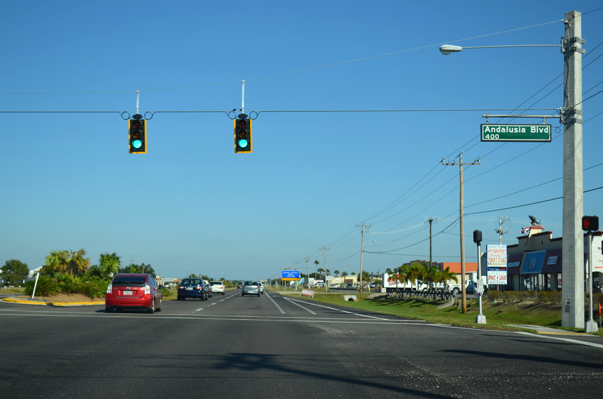
| Andalusia Boulevard provides a connection between Pine Island Road and Kismet Parkway to the north. The local road empties into the Cape Coral - Lee County Industrial Park on the north side of Kismet Parkway. 10/23/22 |
|
| Several commercial strip centers line the south side of Pine Island Road (SR 78) on the stretch between Andalusia and Del Prado Boulevards. 10/23/22 |
|
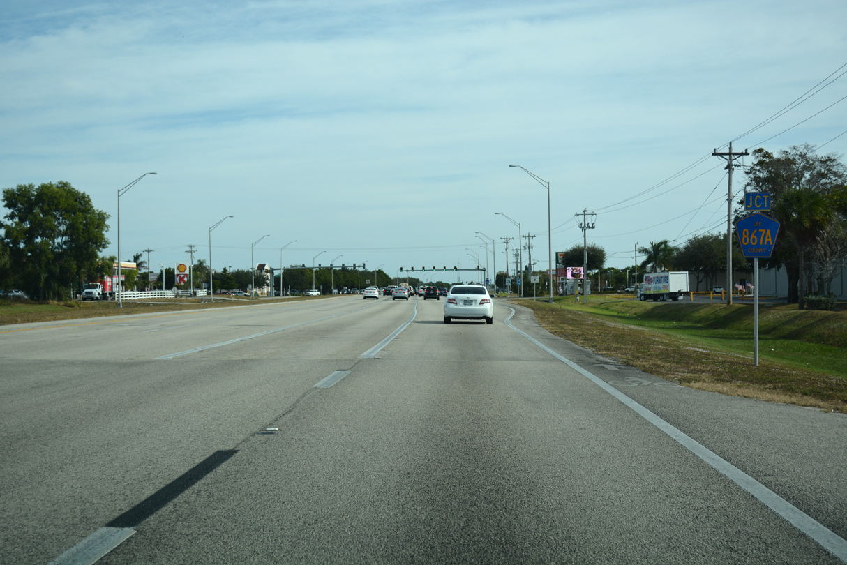
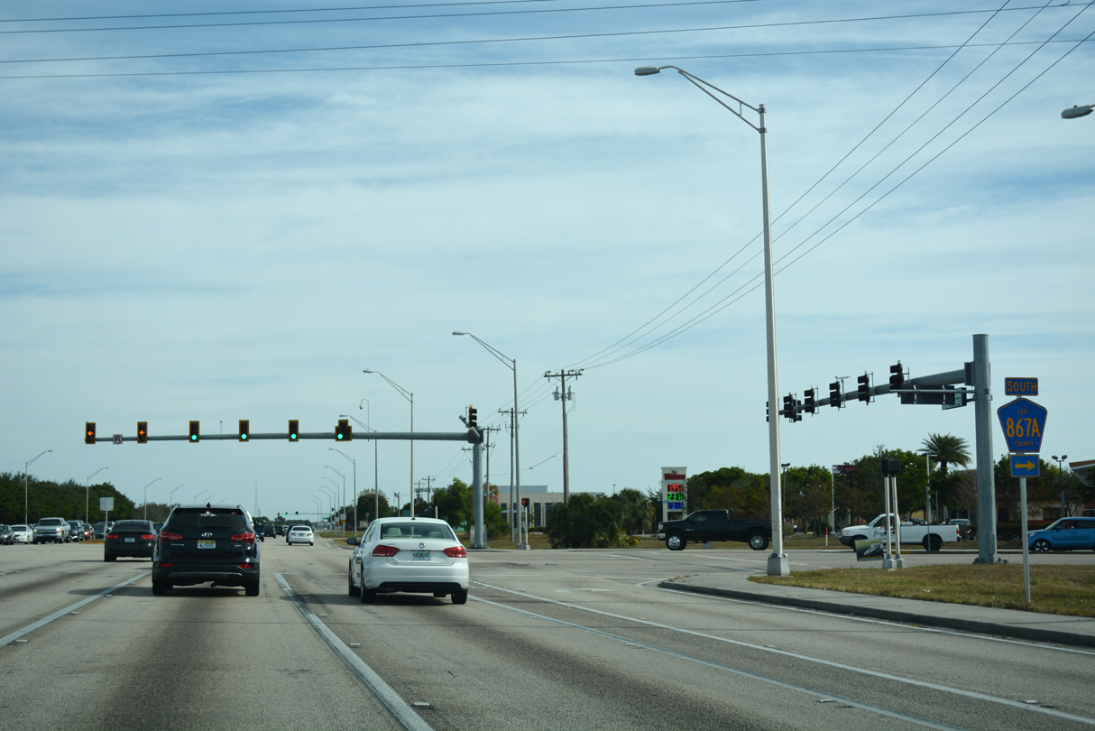
| SR 78 (Pine Island Road) advances east to CR 867A (Del Prado Boulevard). Del Prado Boulevard is the main north to south thoroughfare through Cape Coral. 10/23/22 |
|
| Del Prado Boulevard leads CR 867A south from Pine Island Road to CR 884 (Veterans Parkway) and Downtown Cape Coral. CR 867A is unsigned along Del Prado Boulevard with the exception at CR 884 and at SR 78. Del Prado Boulevard extends through north Cape Coral to U.S. 41 (Tamiami Trail). 10/23/22 |
|
| The SR 78 confirming marker posted east of Del Prado Boulevard (CR 867A) was replaced by 2015 with a Right Lane Must Turn Right sign. 07/05/11 |
|
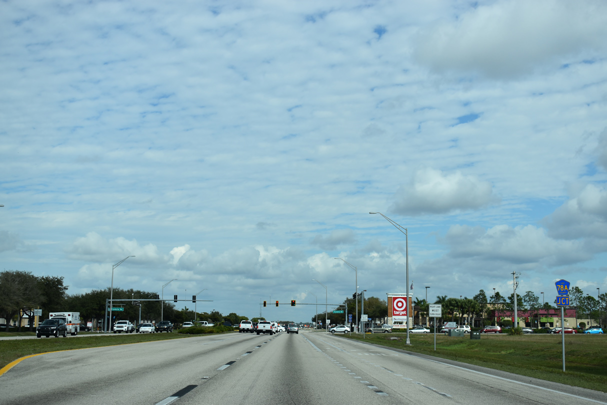
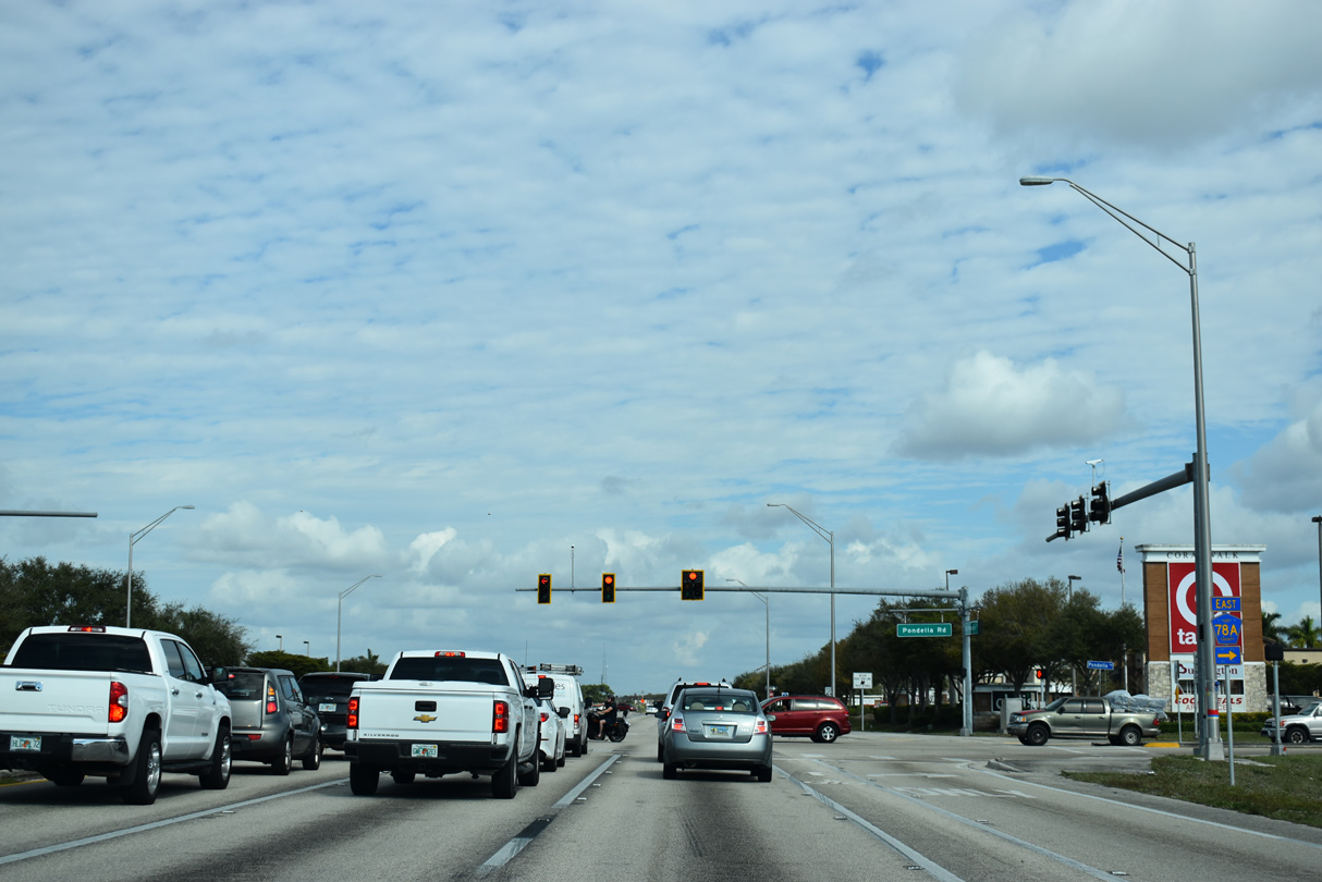
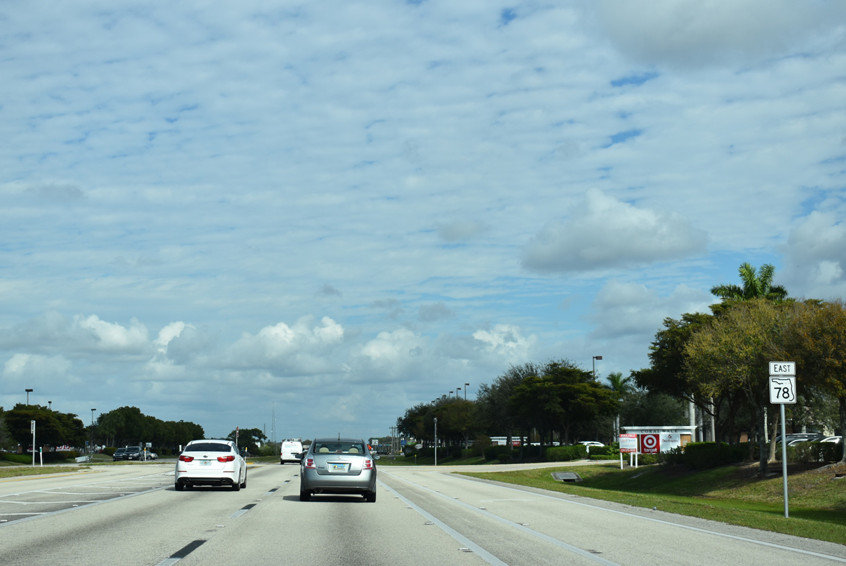
| SR 78 east meets Lee County Road 78A (Pondella Road) just beyond Del Prado Boulevard. 02/03/19 |
|
| Pondella Road carries CR 78A east 3.6 miles to U.S. 41 and U.S. 41 Business (Tamiami Trail) in North Fort Myers. The multi lane arterial also provides a shorter route into Downtown Fort Myers (via U.S. 41 south). 10/23/22 |
|
| Pine Island Road continues northeast from CR 78A (Pondella Road) toward North Fort Myers. With the addition of the Coral Walk shopping center to the south and the Northpoint shopping center to the north, commercial development expanded this stretch of SR 78 in the mid 2000s. Both retail plazas house national big box chains and several restaurants. 10/23/22 |
|
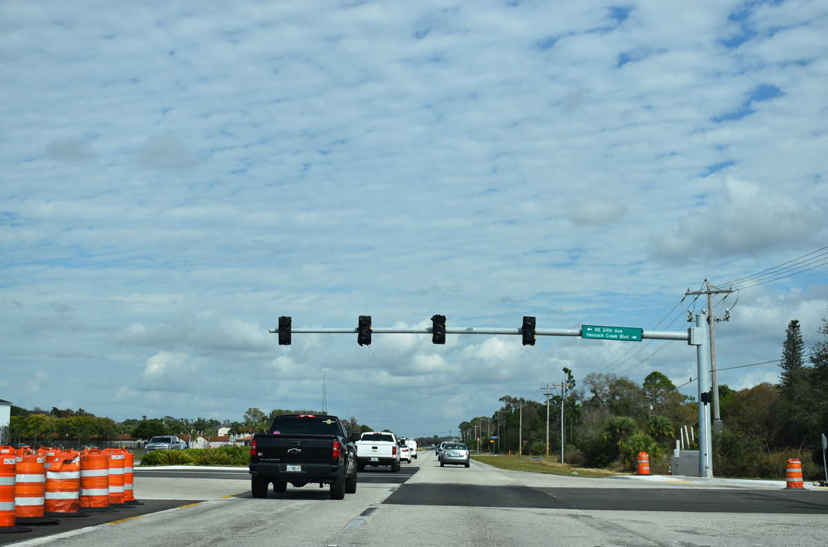
| With the development of Uptown Liberty Park and others, traffic lights were activated in 2019 at Hancock Creek Boulevard south and NE 24th Avenue north to address increasing traffic. 10/23/22 |
|
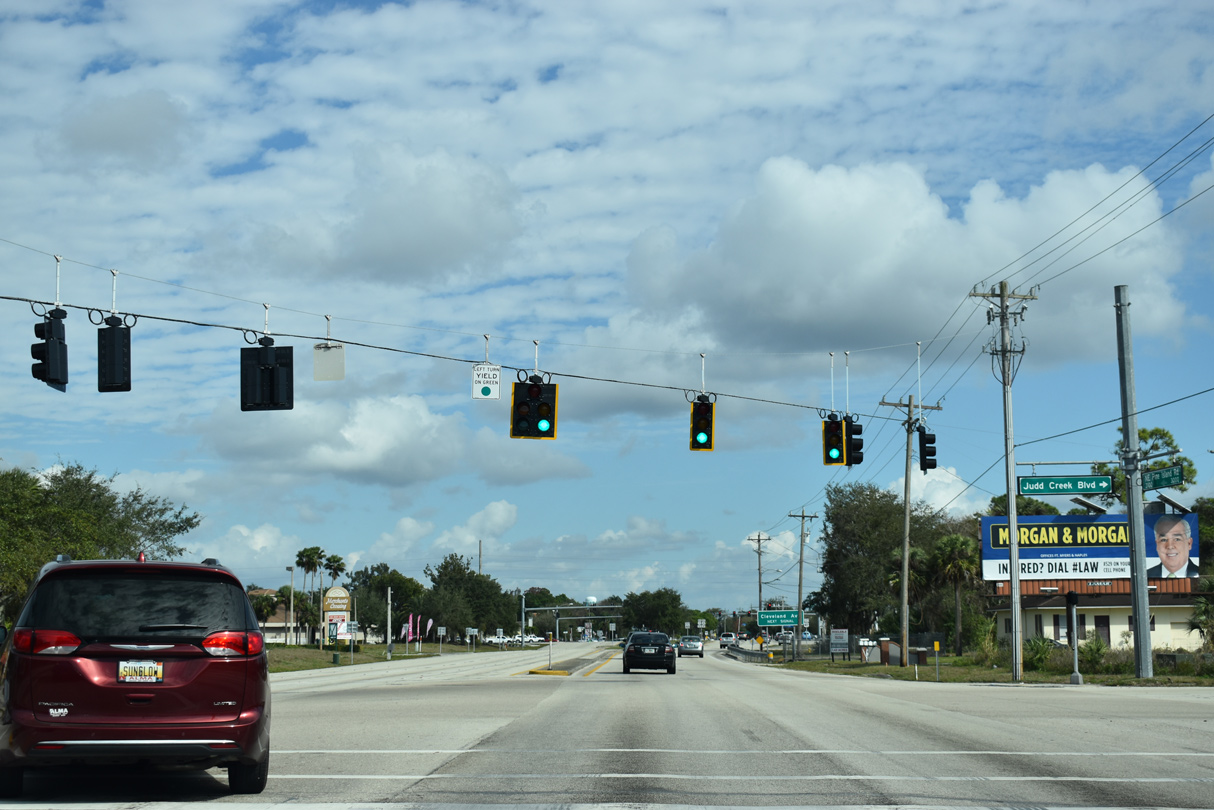
| Judd Creek Boulevard ties into the signalized entrance for Merchants Square shopping center just west of U.S. 41. 10/23/22 |
|
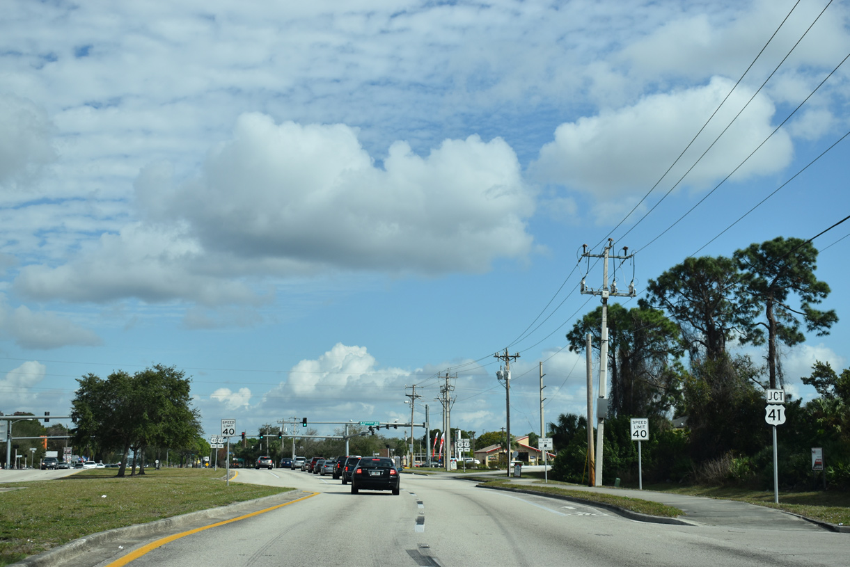
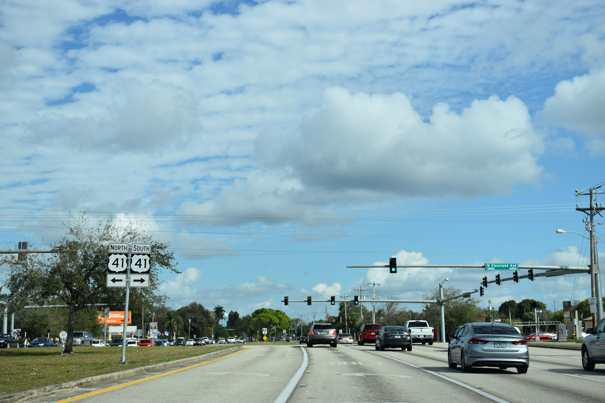
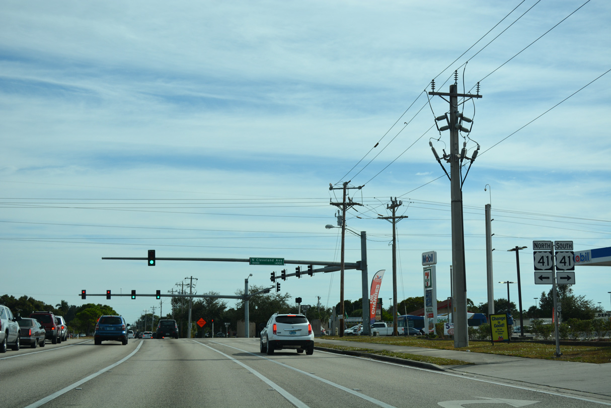
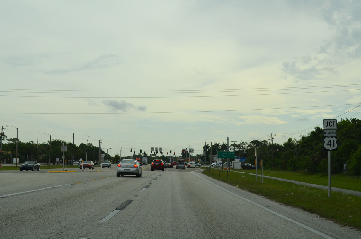
| SR 78 converges with U.S. 41 (Cleveland Avenue) in the unincorporated area of North Fort Myers. 10/23/22 |
|
| Connecting Tampa with Sarasota, Fort Myers and Naples, U.S. 41 is a major highway throughout Southwest Florida. U.S. 41 travels north from SR 78 to Punta Gorda and North Port in Charlotte County. 10/23/22 |
|
| U.S. 41 (Cleveland Avenue) south heads toward Downtown Fort Myers and Bonita Springs in south Lee County. This section of U.S. 41 opened to traffic in the early 1960s as a bypass for Tamiami Trail (U.S. 41 Business) and North Fort Myers. 10/23/22 |
|
| SR 78 (Pine Island Road) intersects Brown Road east of U.S. 41 (Cleveland Avenue). Brown Road is a short connector linking Cleveland Avenue north with SR 78 east. 11/26/16 |
|
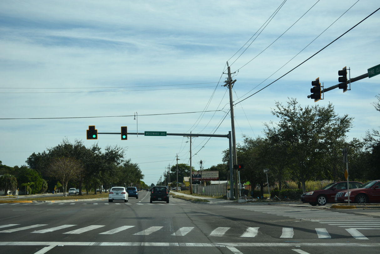
| A traffic signal operates along Pine Island Road at Woodward Avenue. The neighborhood road heads north from SR 78 into the Palmona Park subdivision while turning south leads into a shopping center. 11/26/16 |
|
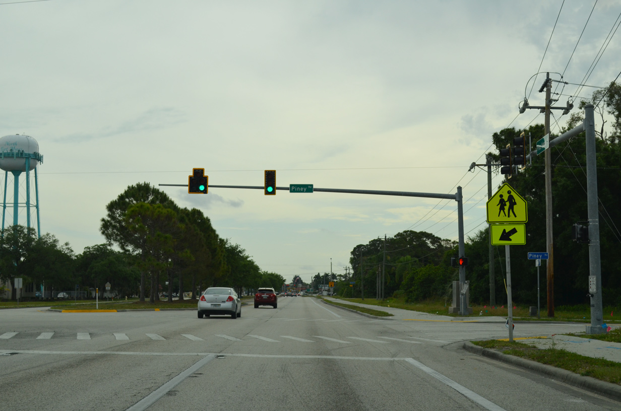
| Piney Road leaves SR 78 (Pine Island Road) for Lee County Road 78A (Pondella Road) one mile to the south. 04/15/16 |
|
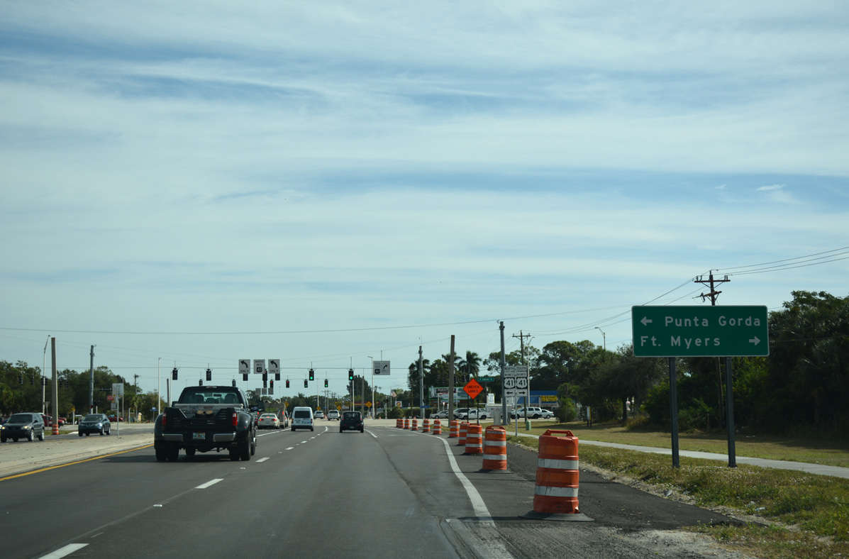
| East of Piney Road, Pine Island Road proceeds to intersect U.S. 41 Business (Tamiami Trail). 04/15/16 |
|
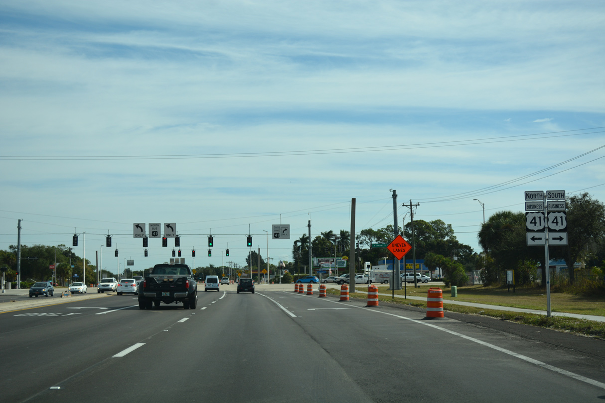
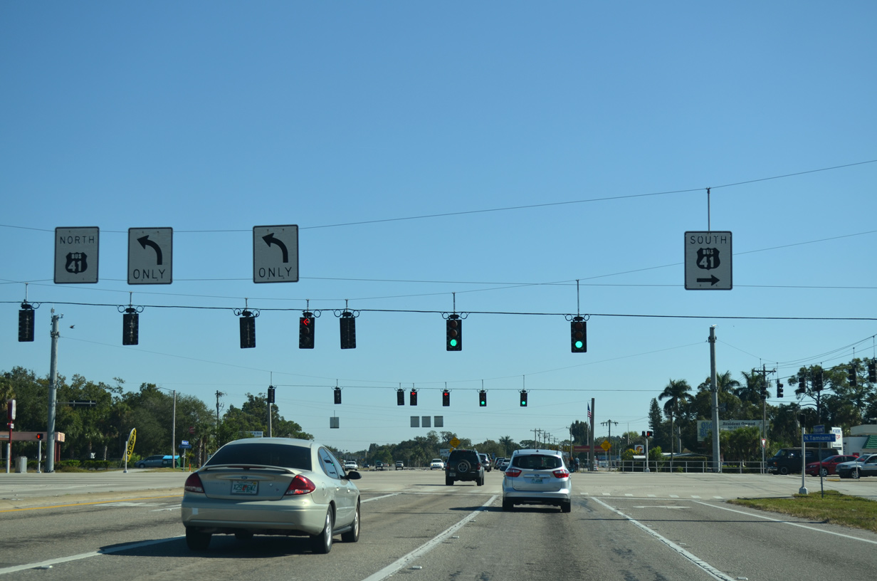
| U.S. 41 Business represents the former alignment of U.S. 41 between Punta Gorda and Fort Myers prior to 1963. 11/26/16 |
|
| U.S. 41 Business begins 2.4 miles to the north at U.S. 41 and continues south into Fort Myers via the Edison Bridge before turning back west to U.S. 41 near Downtown. 11/26/16 |
|
| As well as carrying U.S. 41 Business, Tamiami Trail also carries unsigned SR 739 into Fort Myers, where the state road follows Fowler Street south toward Metro Parkway. 11/26/16 |
|
| Overhead signage at U.S. 41 Business were carbon copied replacements of former coral colored U.S. highway shields. Pine Island Road transitions into Bayshore Road east of Tamiami Trail, taking SR 78 east to I-75 and SR 31. 11/25/12 |
|
| In lieu of a reassurance shield for SR 78, a trailblazer for Interstate 75 stands along the right of way for motorists heading east from U.S. 41 Business. 11/26/16 |
|
| Curving northeast toward Slater Road, SR 78 (Bayshore Road) meets Old Bridge Road. Old Bridge Road spokes southeast into the Gramac subdivision, ending near the Caloosahatchee River. The local road was used as the first crossing into Fort Myers via a wooden span built across the river in 1924 and was later part of the original Tamiami Trail. 11/26/16 |
|
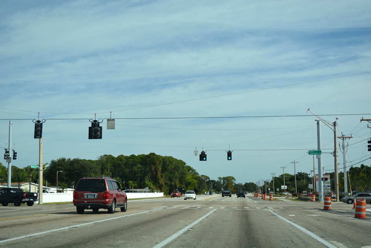
| Hart Road heads north from Bayshore Road to serve the Suncoast neighborhood while New Post Road curves southeast to Old Bridge Village. 11/26/16 |
|
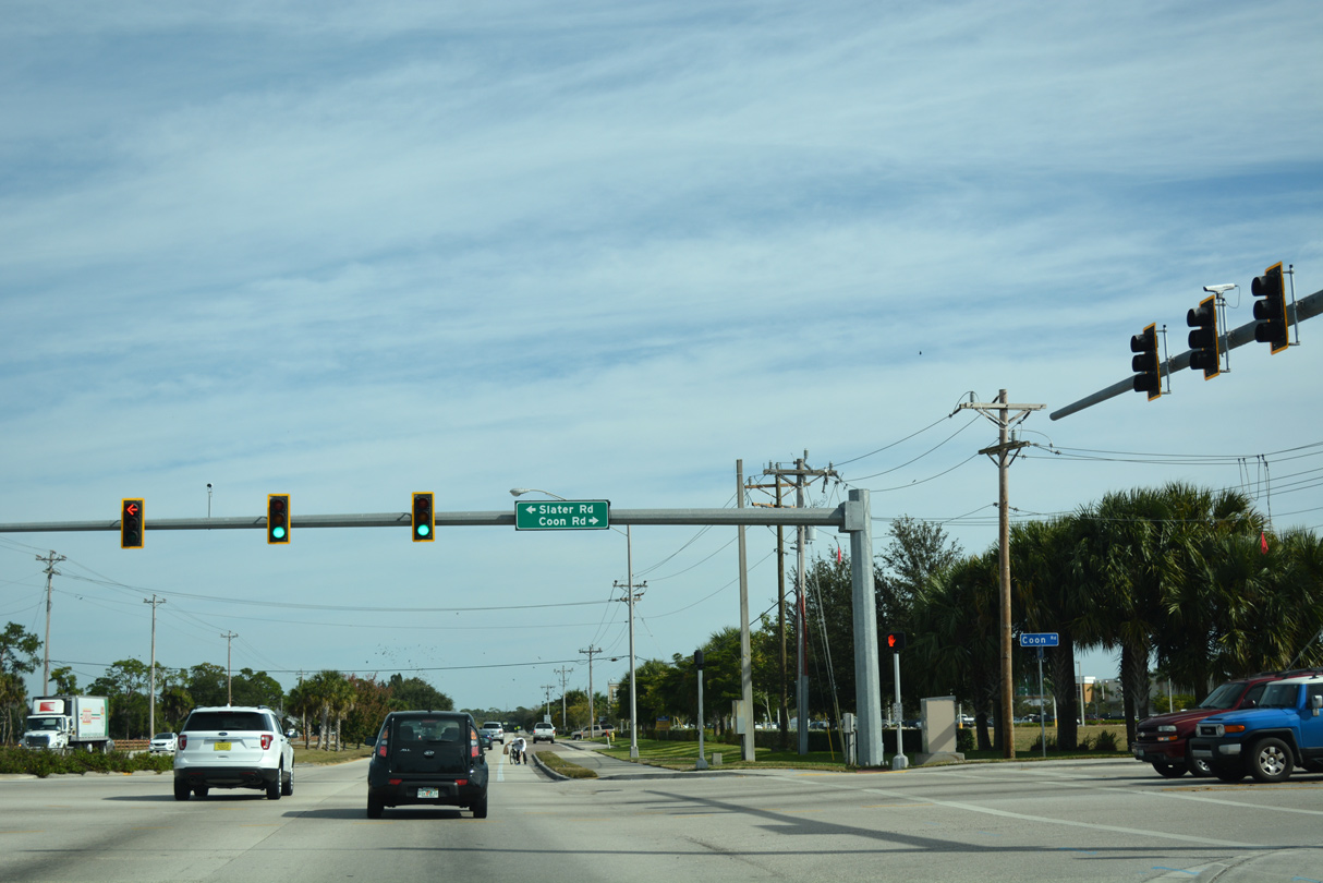
| Midway between U.S. 41 Business and I-75, Bayshore Road enters the signalized intersection with Slater Road and Coon Road. Coon Road travels south from SR 78 along the east side of Riverbend Golf and Country Club toward the Caloosahatchee River. Providing a connection to Mellow Drive and Nalle Grade Road, Slater Road continues north from Bayshore Road. 11/26/16 |
|
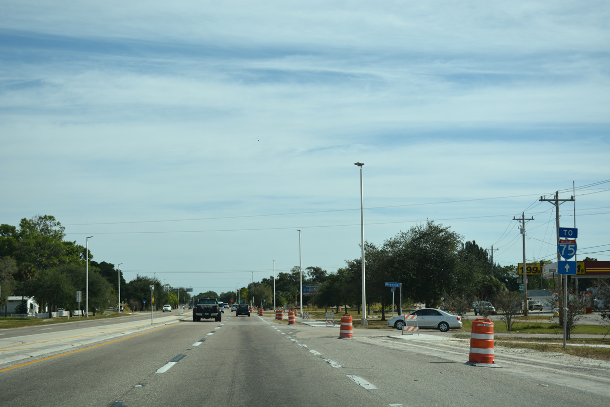
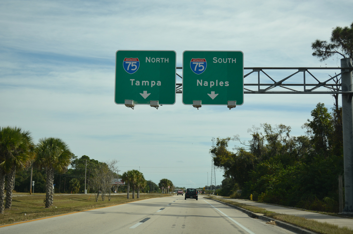
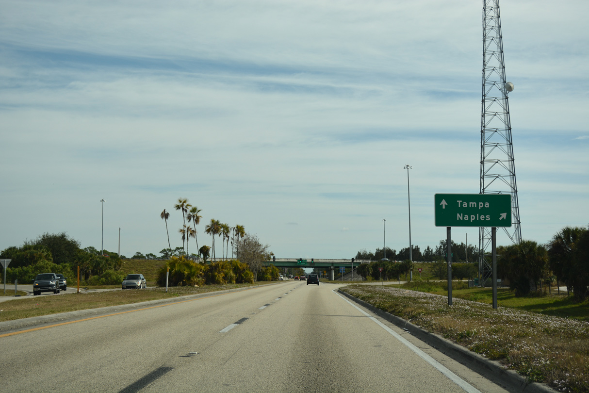
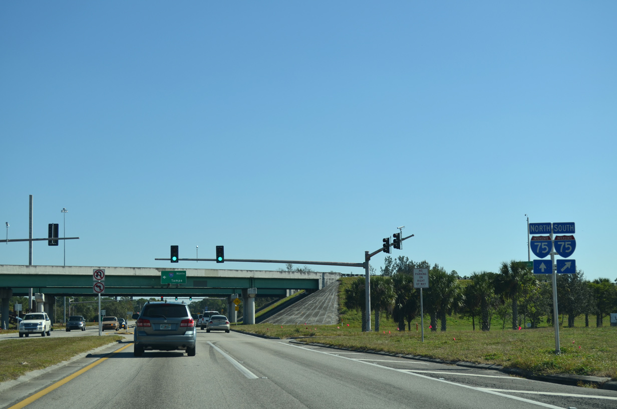
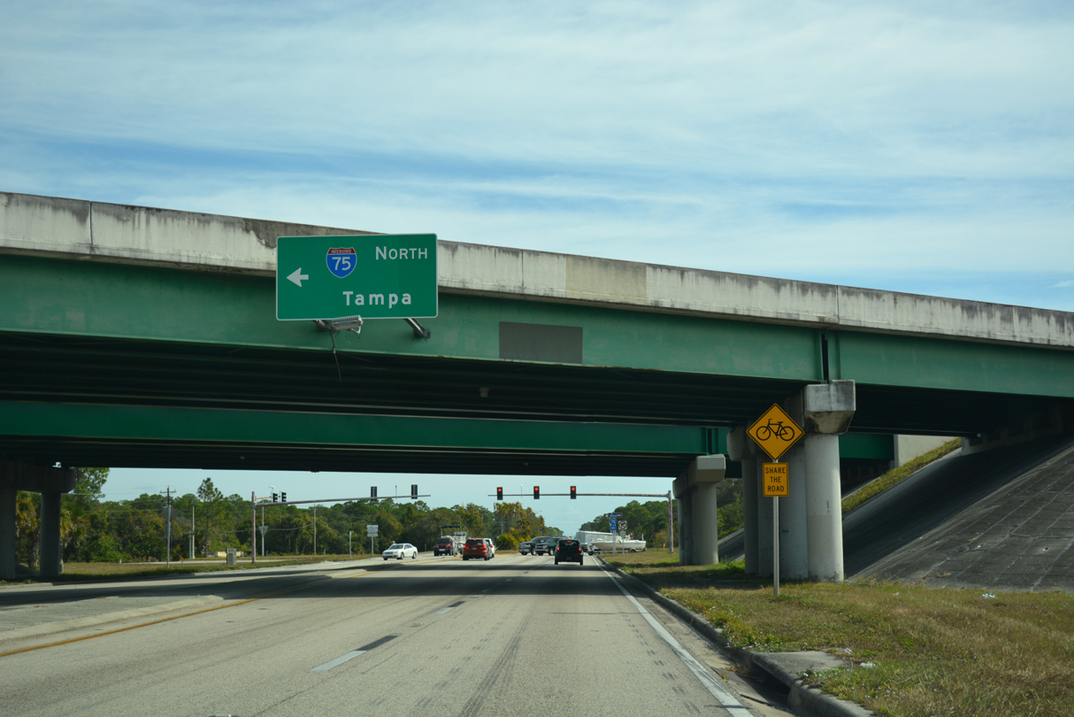
| East of the Seminole Gulf Railroad SR 78 (Bayshore Road) enters a diamond interchange with Interstate 75 to Tampa and Naples. 11/26/16 |
|
| Overall Interstate 75 traverses nearly 471 miles through the Sunshine State from the Miami area northward to Jennings near the Georgia border. 11/26/16 |
|
| The entrance ramp for I-75 south across the Caloosahatchee River to Fort Myers and Naples departs from SR 78 eastbound. 11/25/12 |
|
| Tampa lies 122 miles to the north from SR 78 (Bayshore Road) via Interstate 75 north and I-4 west. 11/26/16, 11/25/12 |
|
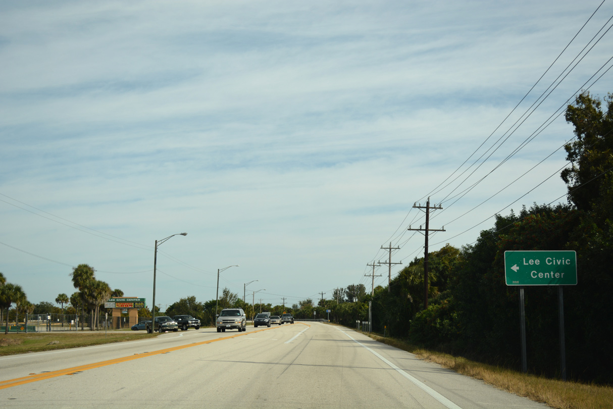
| SR 78 continues east from Interstate 75 toward the Lee Civic Center and SR 31. 11/26/16 |
|
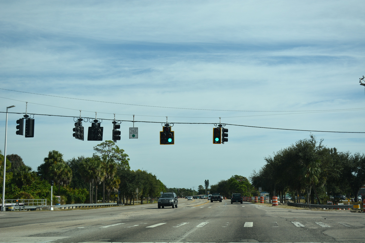
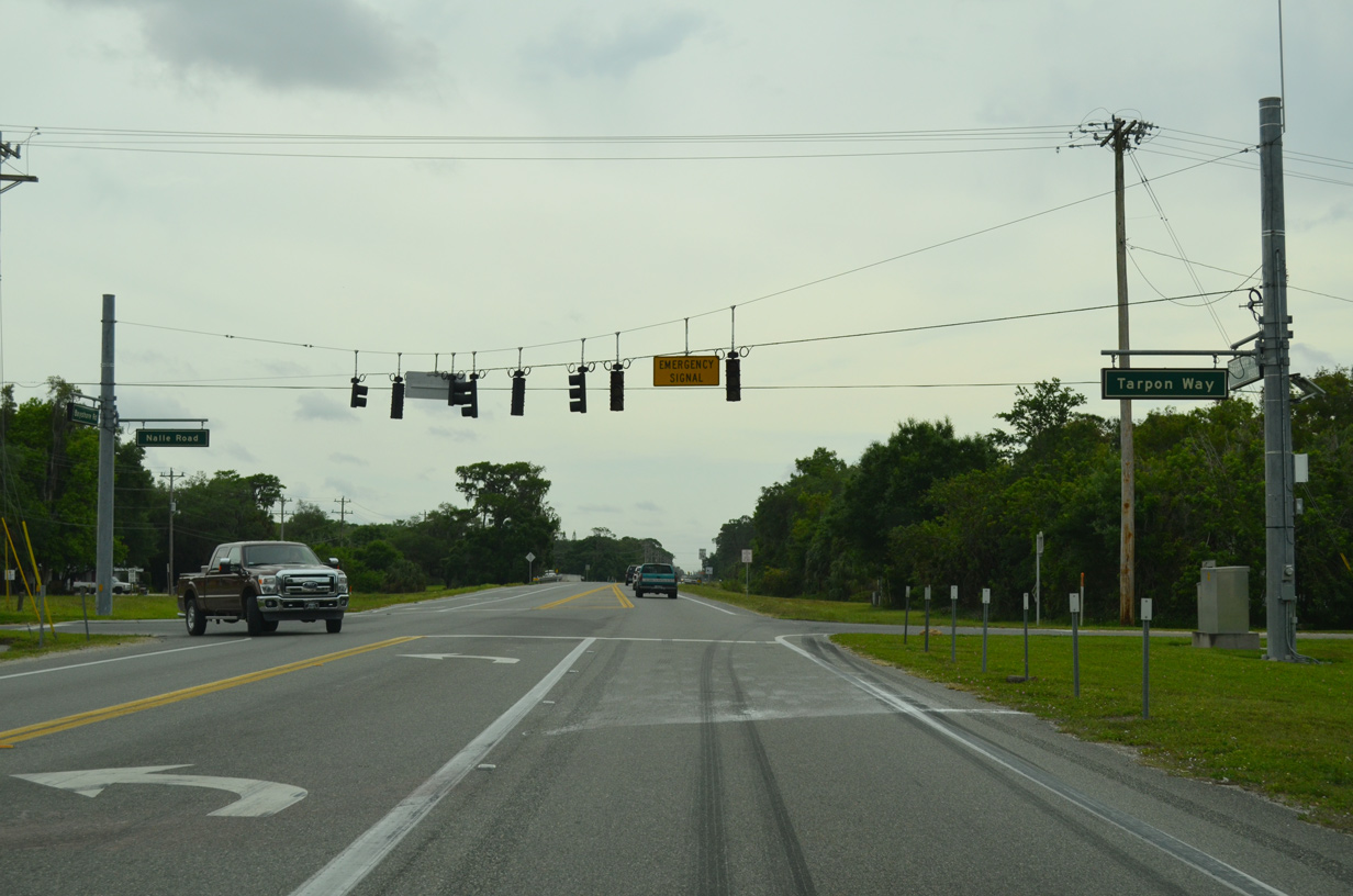
| Emergency signals operate along SR 78 (Bayshore Road) at Tarpon Way south and Nalle Road north for Bayshore Fire Department Station 131. 04/15/16 |
|
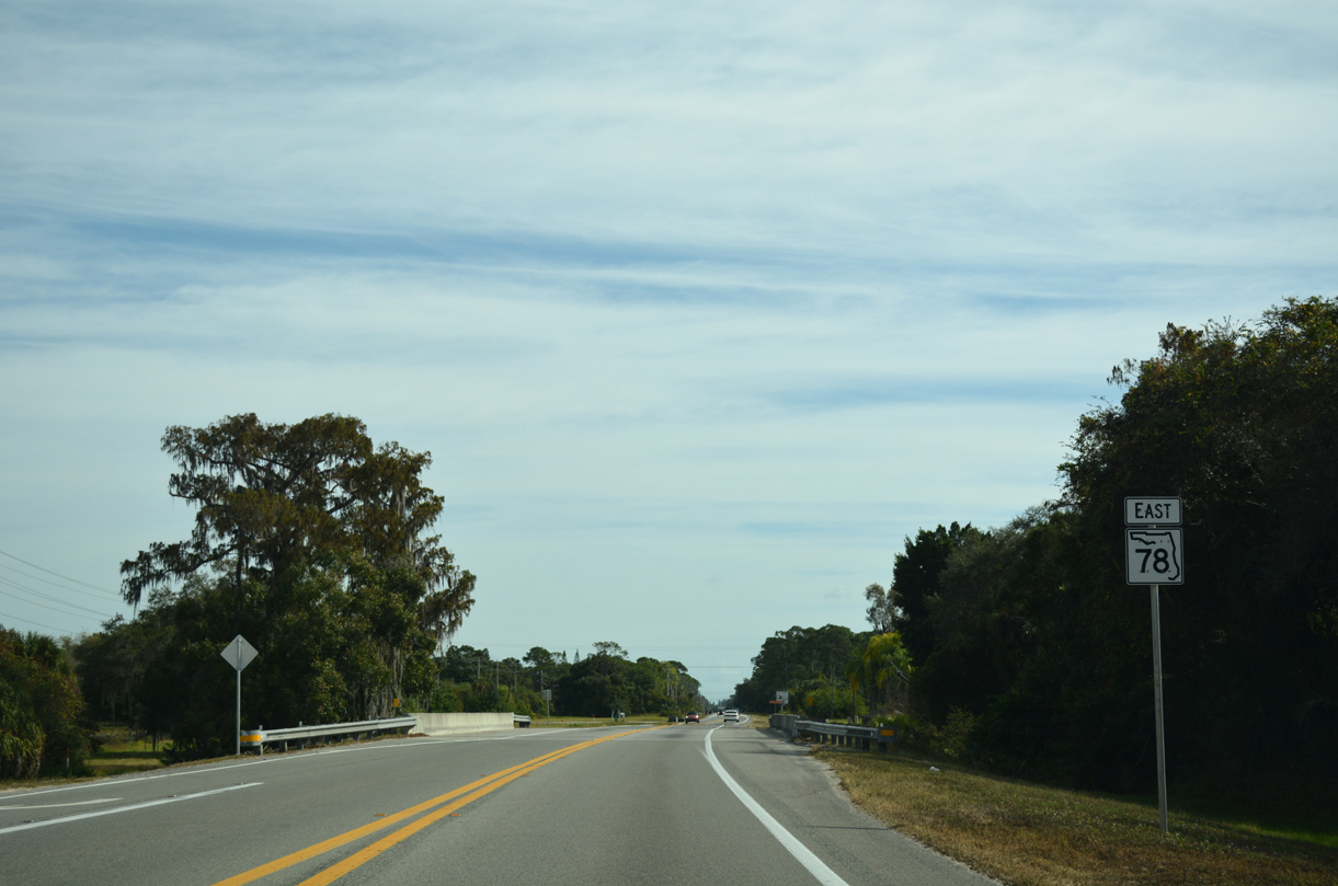
| Reassurance shield posted ahead of Stroud Creek. Stroud Creek flows south into the Calooshatchee River near Buzzard Roost. 11/26/16 |
|
| The Lee Civic Center lies north of SR 78 (Bayshore Road) and west of SR 31. 11/26/16 |
|
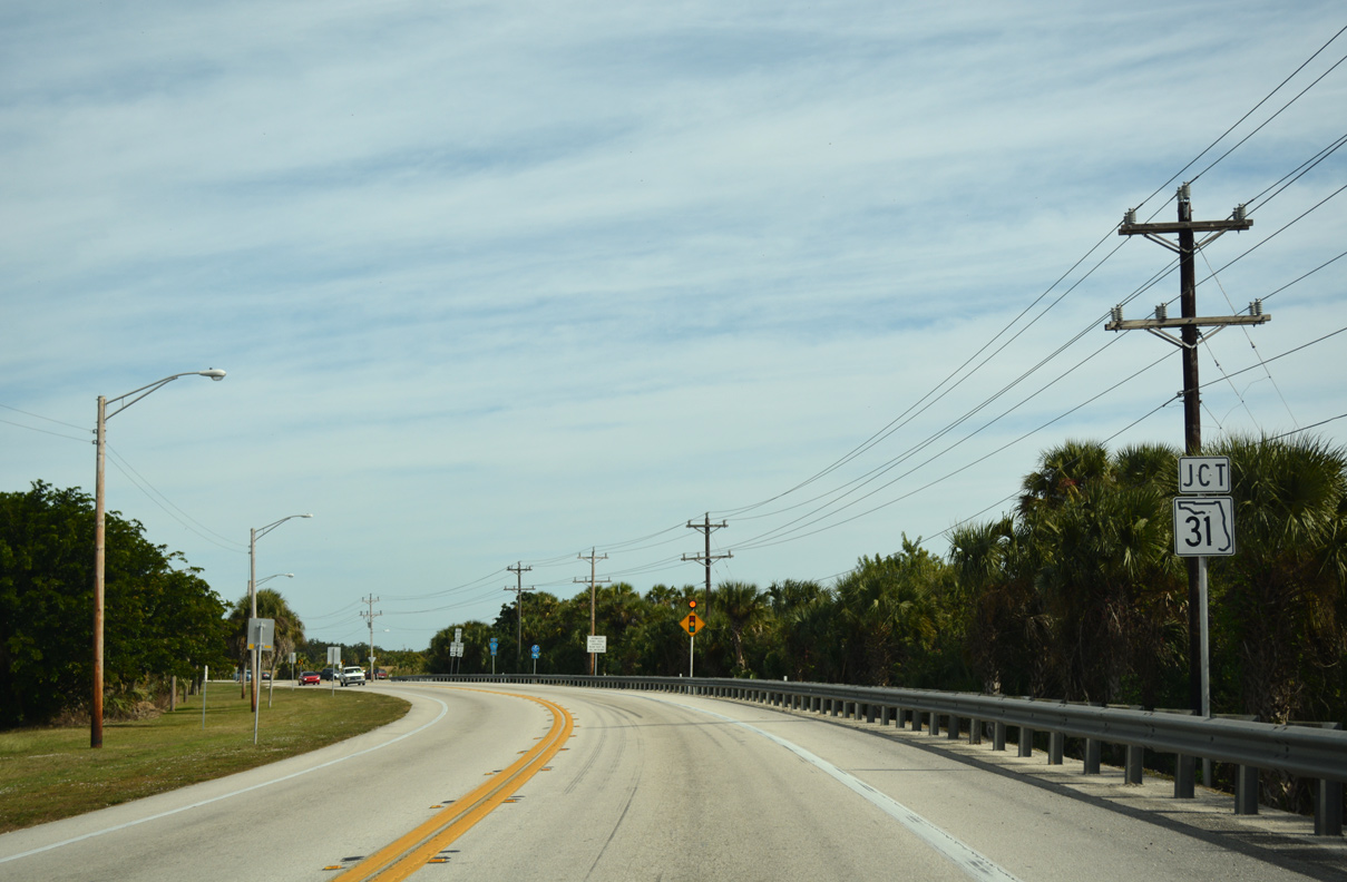
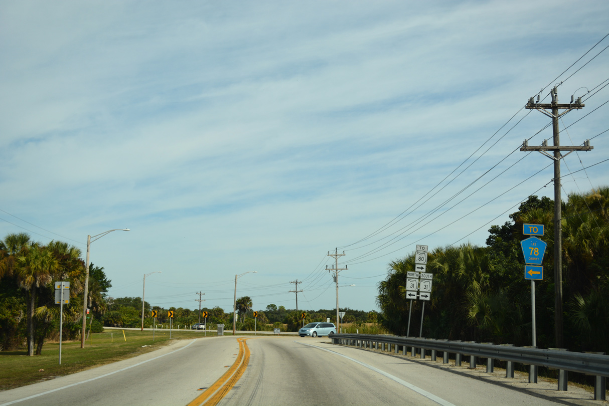
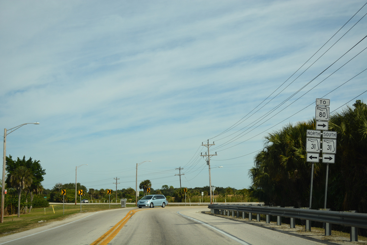
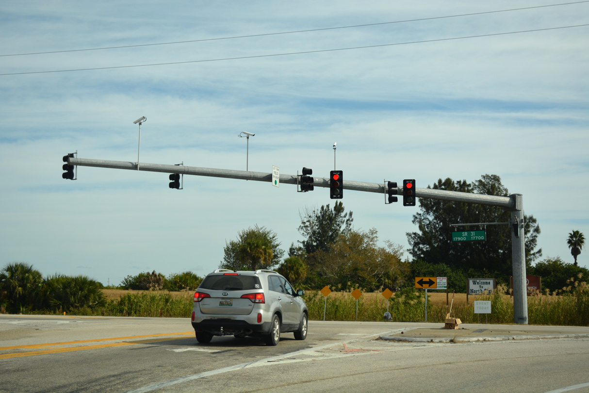
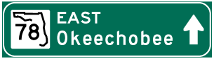
| SR 78 (Bayshore Road) reaches the first of two interim end points at SR 31 in Lee County. 11/26/16 |
|
| The subsequent branch of Lee County Road 78 extends east to Alva and Hendry County from SR 31, 1.25 miles to the north. 11/26/16 |
|
| SR 31 north leads to Babcock Ranch and Arcadia and south to SR 80 at Fort Myers Shores. 11/26/16 |
07/05/11, 07/08/11, 11/25/12, 11/28/13, 04/15/16, 11/26/16, 12/26/16, 10/01/17, 02/03/19, 11/28/19, 10/23/22 by AARoads
Page Updated 11-14-2022.

 East
East