|
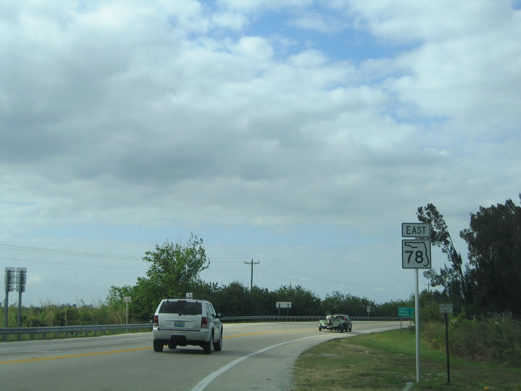
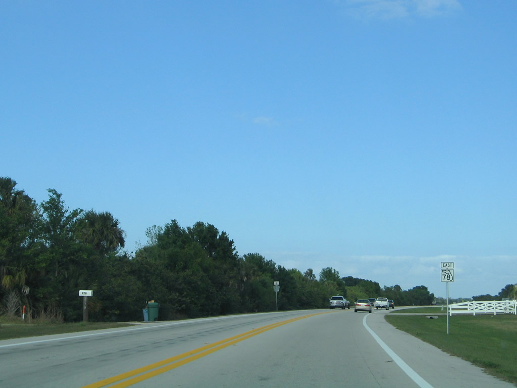
| SR 78 east begins its final 34.2 mile leg toward Okeechobee from U.S. 27 one mile west of Moore Haven. The state road will follow the west side of Lake Okeechobee its entire length to Okeechobee while passing near both fishing communities of Lakeport and Buckhead Ridge. Lakeport is 9.7 miles ahead while Buckhead Ridge is 28.2 miles ahead. 03/12/06 |
|
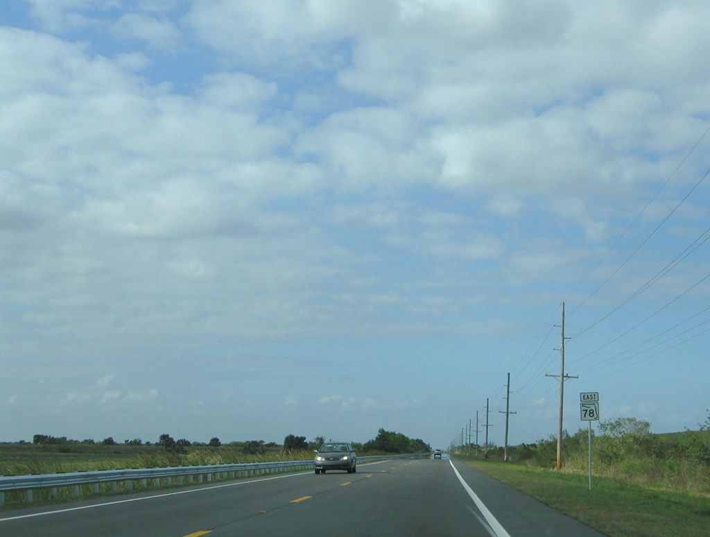
| A random reassurance shield for SR 78 as it nears Lakeport. The west slope of the Herbert Hoover Dike can be seen to the east. The 30 foot high dike was built to contain the waters around Lake Okeechobee after devastating hurricanes in 1926 and 1928. 03/12/06 |
|
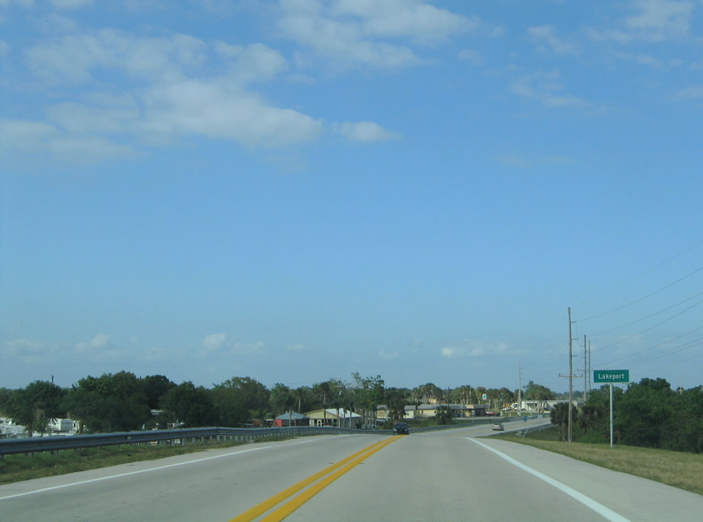
| Spanning one of the relief canals for Lake Okeechobee, SR 78 enters the small fishing community of Lakeport. 03/12/06 |
|
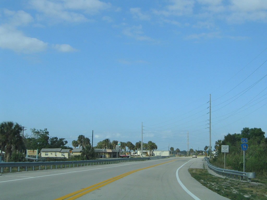
| Curving northeast SR 78 approaches Glades County Road 74 west. The county road exists for only 3.5 miles before transitioning into a graded road. 03/12/06 |
|
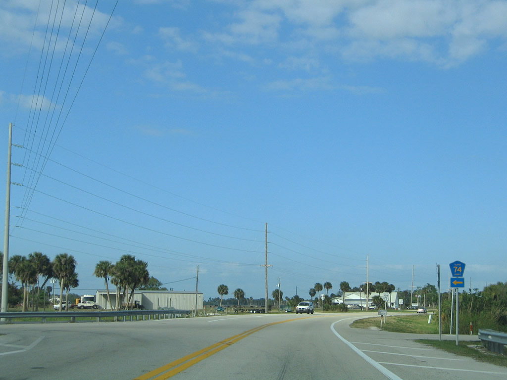
| Glades County Road 74 serves a primary road between SR 78 and Lakeport. 03/12/06 |
|
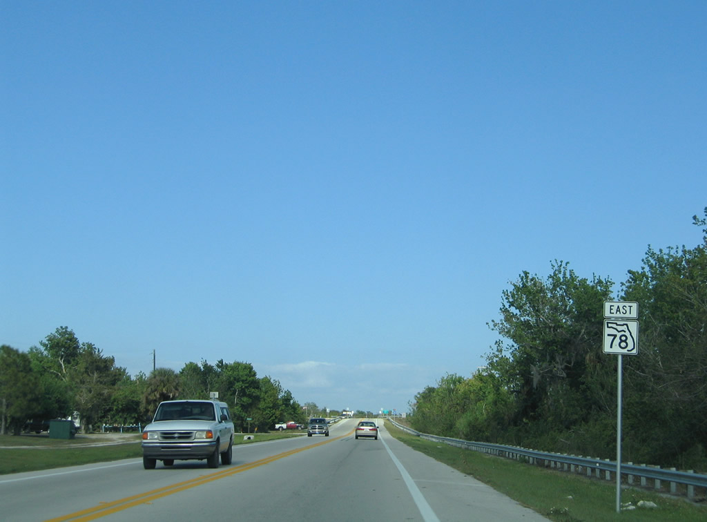
| A reassurance shield stands for eastbound motorists as the state road quickly leaves the community of Lakeport for Buckhead Ridge and Okeechobee. 03/12/06 |
|
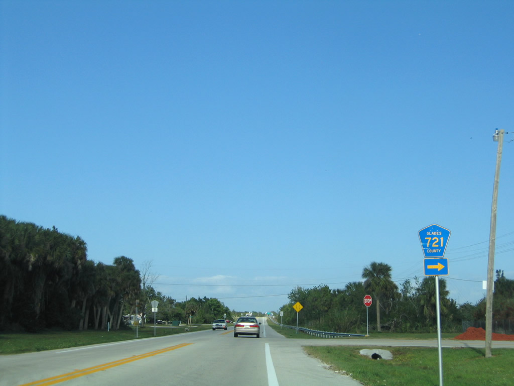
| Approaching the first of three intersections with Glades County Road 721 (Loop Road). This southern portion of Glades County Road 721 follows a former alignment of SR 78 before a straighter alignment was constructed to the north. 03/12/06 |
|
| Glades County Road 721 spokes to the east before looping back north for its return to SR 78. 03/12/06 |
|
| SR 78 continues northeast from Glades County Road 721. 03/12/06 |
|
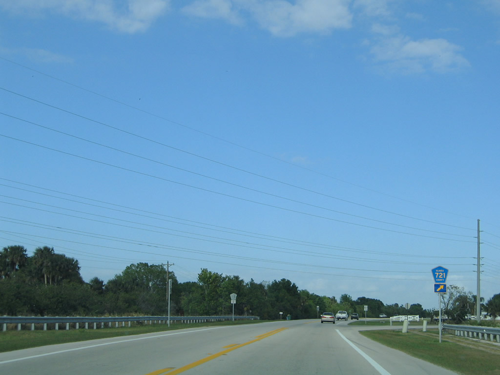
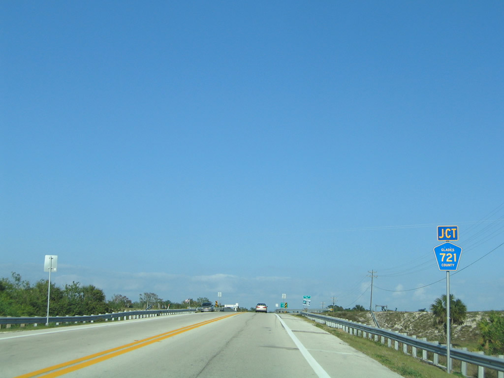
| Glades County Road 721 (Loop Road) sees its return to SR 78 west of Harney Pond Canal. 03/12/06 |
|
| SR 78 east as it approaches the bridge over Harney Pond canal. The canal provides boaters a direct link into Lake Okeechobee while continuing northwest toward SR 70 and Lake Istokpoga. 03/12/06 |
|
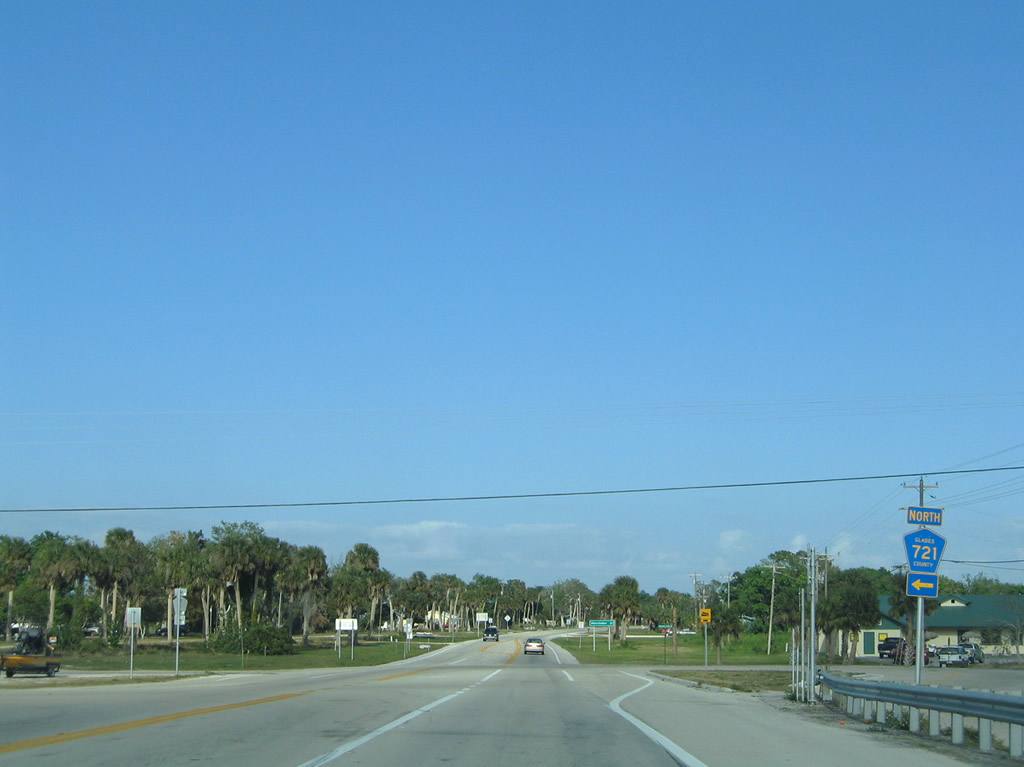
| Preparing to cross over the Harney Pond canal, SR 78 approaches its final intersection with Glades County Road 721 north. 03/12/06 |
|
| Glades County Road 721 extends north 16.2 miles to serve the Brighton Indian Reservation before ending at SR 70 near the community of Brighton. 03/12/06 |
|
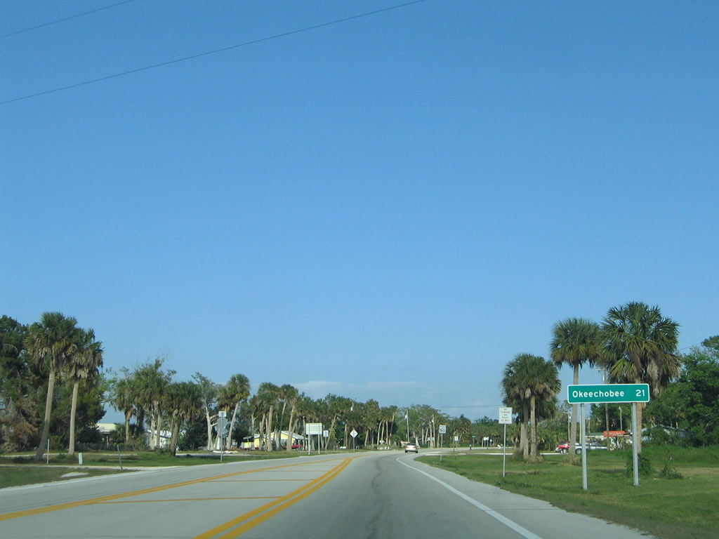
| SR 78 east of Glades County Road 721 and Harney Point canal. The state road continues to follow the Hoover Dike and Lake Okeechobee toward Okeechobee, now a 21 mile drive ahead. The community of Buckhead Ridge lies 15 miles from this point. 03/12/06 |
|
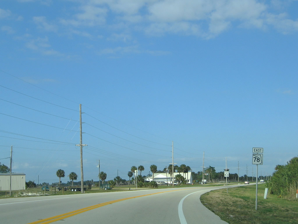
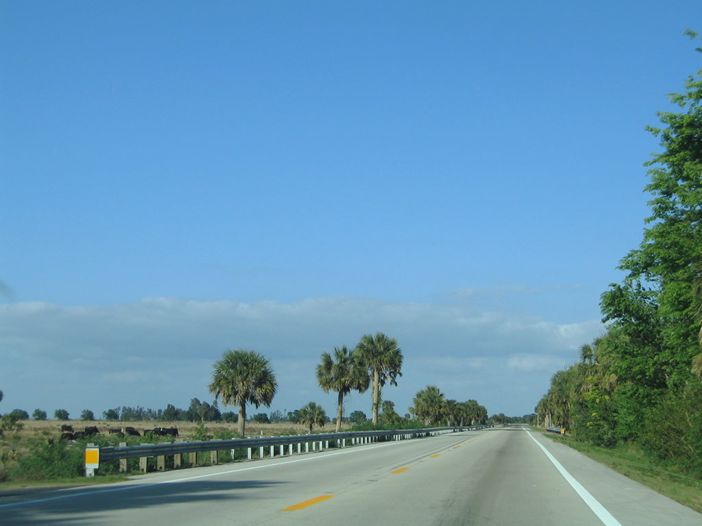
| For the majority of its course to Okeechobee, SR 78 is cascaded with rural landscapes including sugar cane fields and traditional cattle grazing fields. 03/12/06 |
|
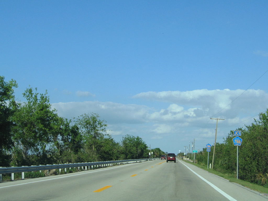
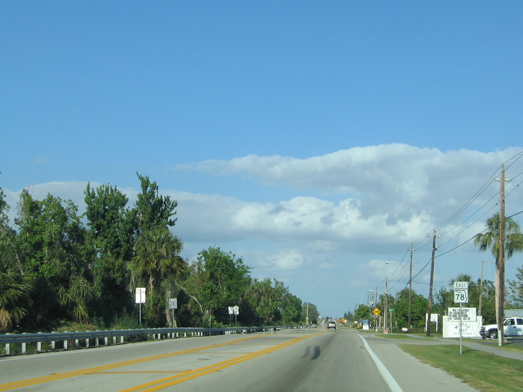
| On the approach to Buckhead Ridge SR 78 prepares to meet Glades County Road 78B (Access Road). The short spur serves the west side of Buckhead Ridge as well as the Southwest Florida Water Management District (SWFWMD). 03/12/06 |
|
| East of Linda Road, SR 78 continues from Buckhead Ridge toward the Kissimmee River and Okeechobee County one half mile ahead. 03/12/06 |
|
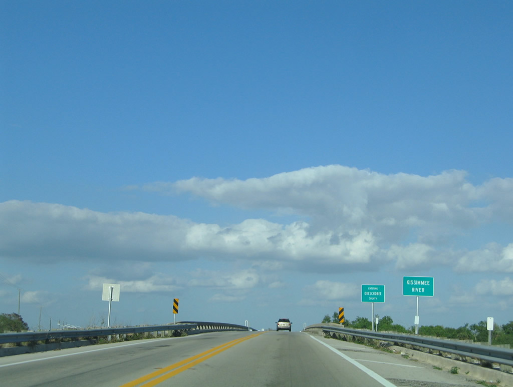
| SR 78 prepares to cross over the Kissimmee River and enter Okeechobee County. During the 1960s and into the early 1970s, the river was channelized by the U.S. Army Corps of Engineers by creating a 30 foot deep and 300 foot wide drainage canal stretching 56 miles. But by doing so, it adversely effected the natural habitats in the area, especially fishing. Efforts began in 1997 to restore the river to its original flow to reverse these damaging effects. 03/12/06 |
|
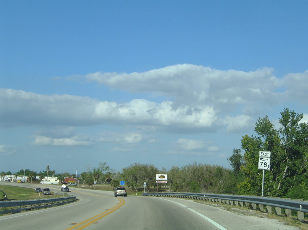
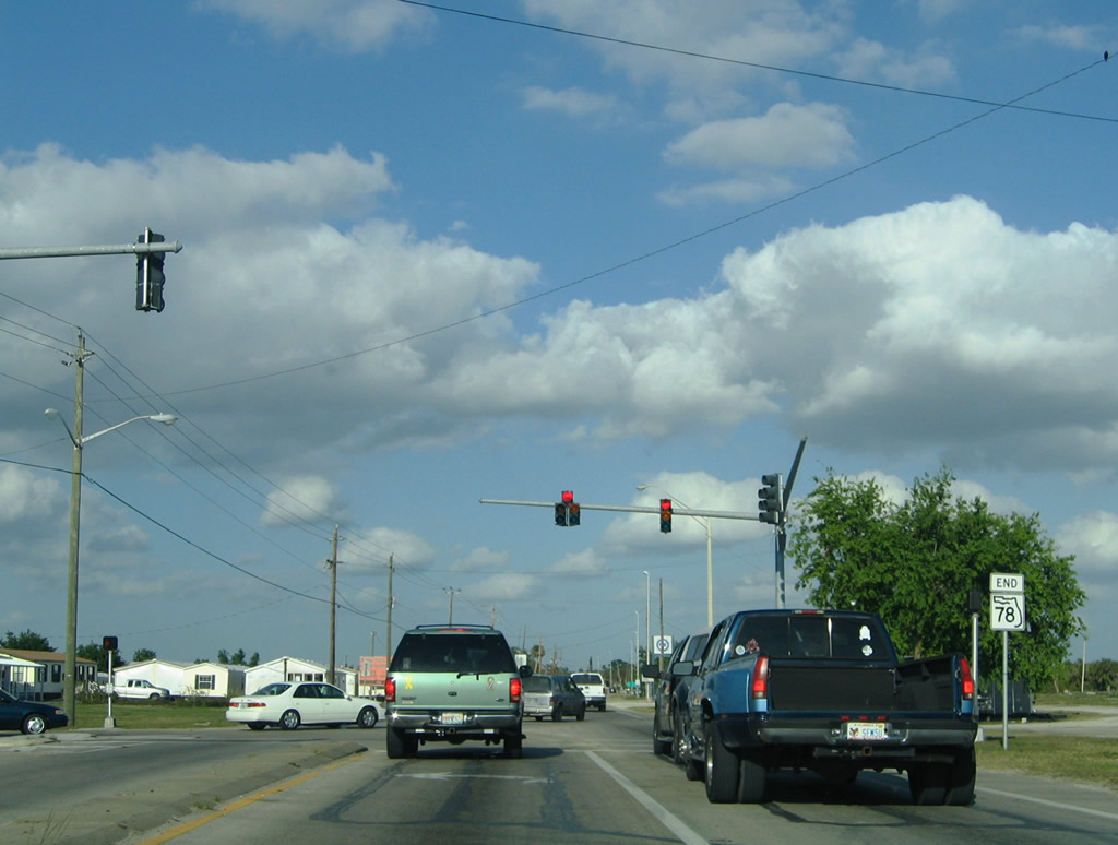
| A reassurance shield is seen after the Kissimmee River bridge crossing. SR 78 will end 4.7 miles ahead at an intersection with U.S. 98 & 441 in south Okeechobee. 03/12/06 |
|
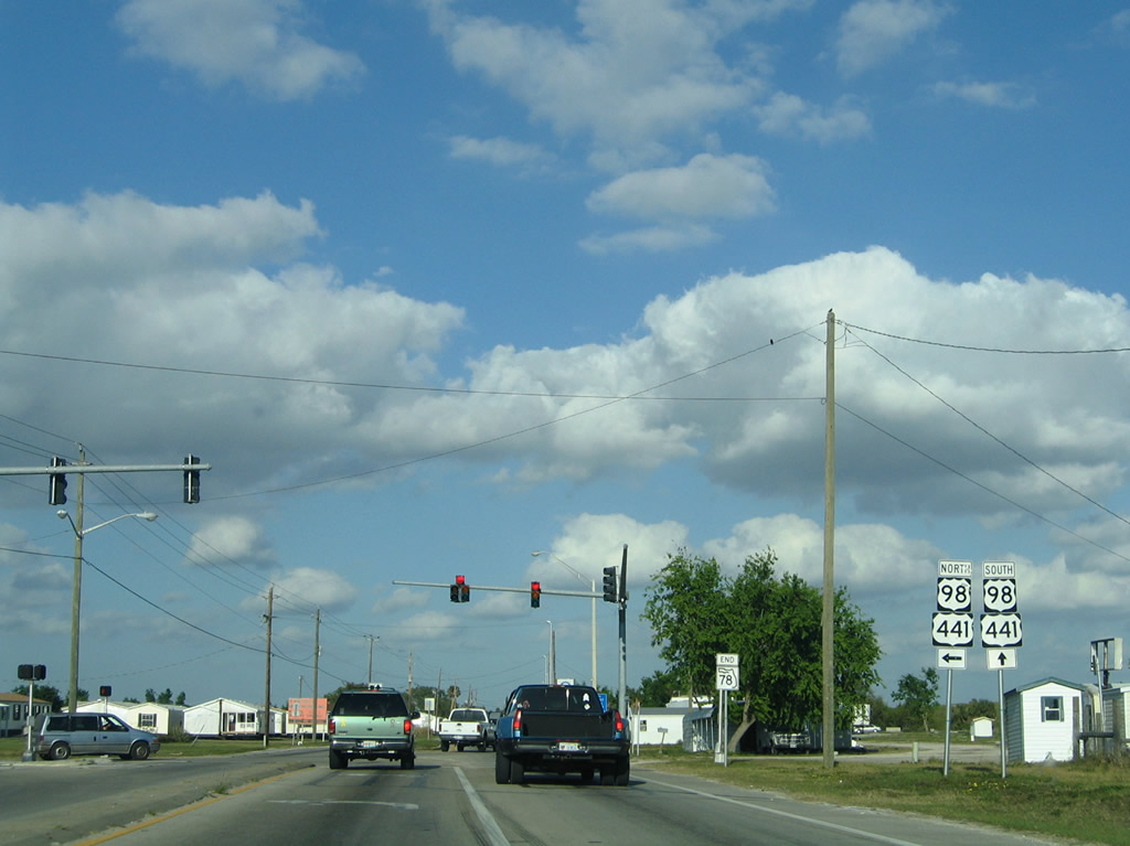
| Reaching the northern tip of Lake Okeechobee and the outskirts of Okeechobee, SR 78 approaches its final terminus with U.S. 98 & 441. 03/12/06 |
|
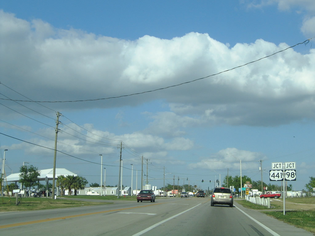
| U.S. 98 & 441 north beelines to Downtown Okeechobee 3.2 miles away. Motorists continuing straight merge onto U.S. 98 & 441 south to continue around the eastern shores of Lake Okeechobee toward West Palm Beach. The Gold coast city lies 70.6 miles to the southeast in Palm Beach county. 03/12/06 |
|
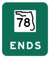
| SR 78 comes to an end at the signalized intersection with U.S. 98 & 441. U.S. 98 will leave U.S. 441 on the north side of Okeechobee toward Sebring and Fort Meade while U.S. 441 continues toward Yeehaw Junction and Saint Cloud. Continuing ahead, the duo U.S. highways will next meet Canal Point on the southeast corner of Lake Okeechobee. 03/12/06 |
Page Updated 08-02-2014.