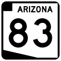
Arizona State Route 83 connects Parker Canyon Lake with Interstate 10 at Mountain View, east of Tucson. Constructed in 1966 by the state of Arizona, Parker Canyon Lake is a small reservoir in the mountains of Southeastern Arizona.
First designated in 1927 between Mountain View and Sonoita, SR 83 was one of the first Arizona state highways. The route was extended south to Parker Canyon Lake in 1966, corresponding with the construction of the lake. However, the section from Sonoita to Parker Canyon Lake was not paved until the late 1990s.
|
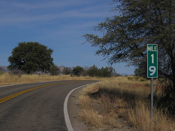
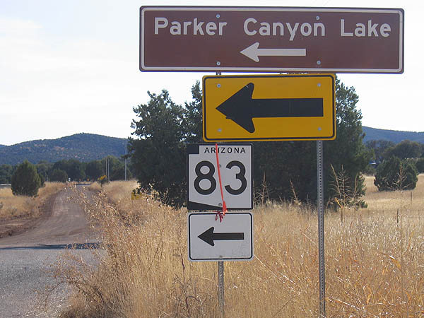
| SR 83 begins at milepost 3. The mileposts between
Parker Canyon Lake and Sonoita were determined by odometer
mileage from a vehicle. 12/14/06 |
|
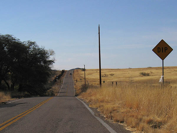
| SR 83 travels through rolling ranch country between
Parker Canyon Lake and Sonoita. 12/14/06 |
|
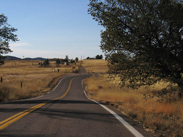
| The road between Parker Canyon Lake and Sonoita follows
land lines, and travels between ranches. 12/14/06 |
|
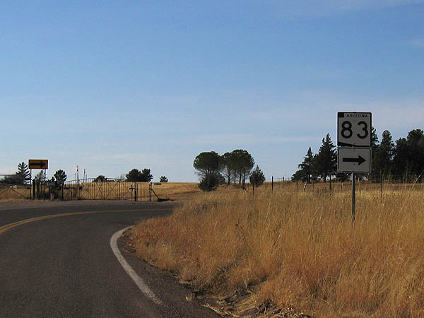
| SR 83 has several 90 degree turns south of Sonoita,
as it travels between ranches. 12/14/06 |
|
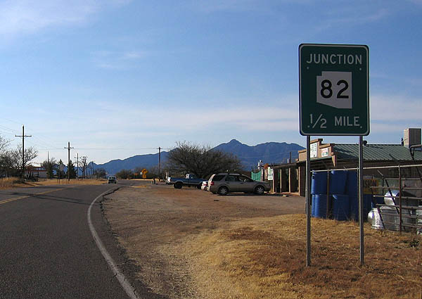
| Advance signage for SR 82, in the town of Sonoita. 12/14/06 |
|
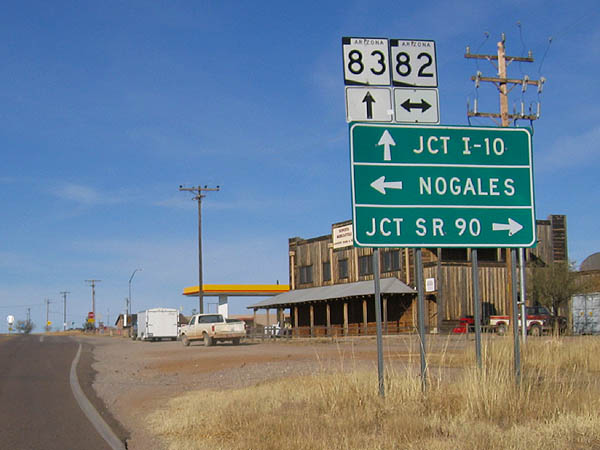
| In the town of Sonoita, SR 83 meets SR 82.
Use SR 82 to reach Nogales to the west, and Tombstone
to the east. 12/14/06 |
|
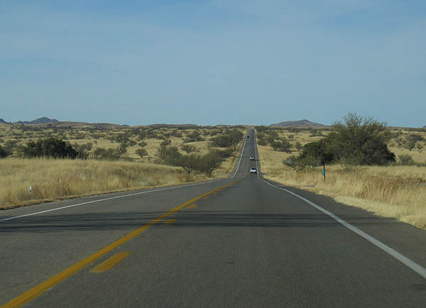
| SR 83 continues through rolling hills north of
Sonoita. 12/14/06 |
|
| North of Sonoita, a Border Patrol checkpoint is found.
After this point, SR 83 travels through the Santa
Rita mountains on the way to Mountain View and I-10. 12/14/06 |
|
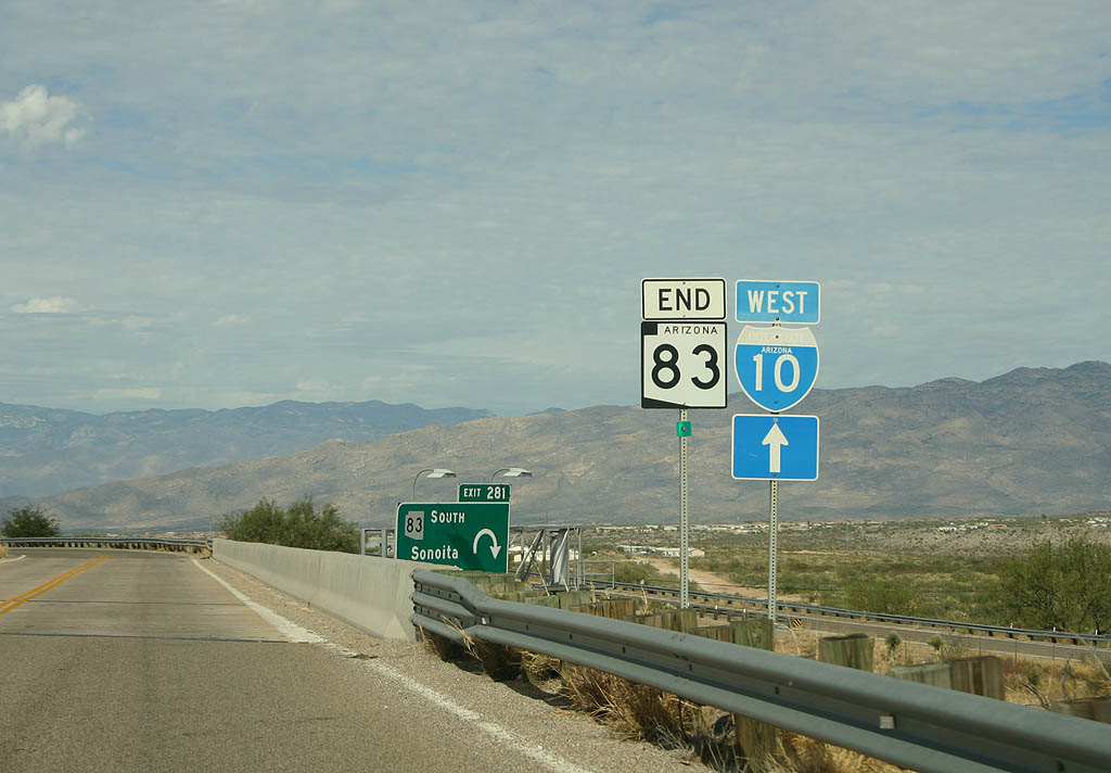
| SR 83 ends at Interstate 10, at the Mountain View interchange. 11/10/07 |
|
| SR 83 turns east from O'Donnell Canyon to Canelo at Canelo Pass Road. 12/14/06 |
Page Updated 11-23-2007.

 North
North