The double decked portion of the Alaskan Way Viaduct from west of Holgate Street northward to King Street was demolished during a nine day closure of SR 99 in October 2011. A temporary at-grade bypass was constructed to the east.
The temporary roadway was eventually replaced by a side by side freeway leading to the new tunnel under Downtown Seattle. Photos on this guide show the former Alaska Way Viaduct north to the former entrance ramp from 1st Avenue S.
|
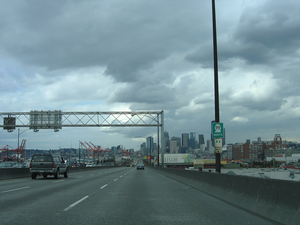
| Reassurance shield posted for SR 99 along the southern stretch of the Alaskan Way Viaduct near the West Seattle Bridge. 08/30/06 |
|
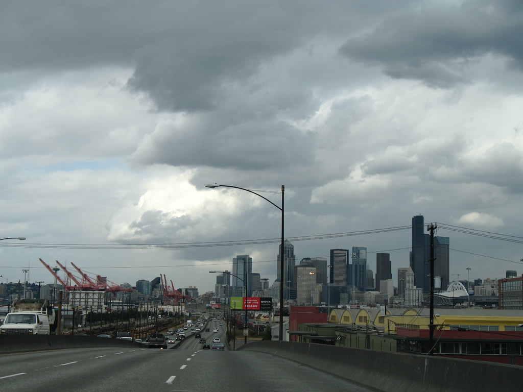
| SR 99 leaves the elevated interchange with the West Seattle Bridge and lowers briefly through an industrial area near the East Waterway. 08/30/06 |
|
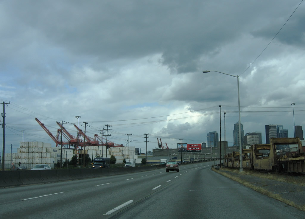
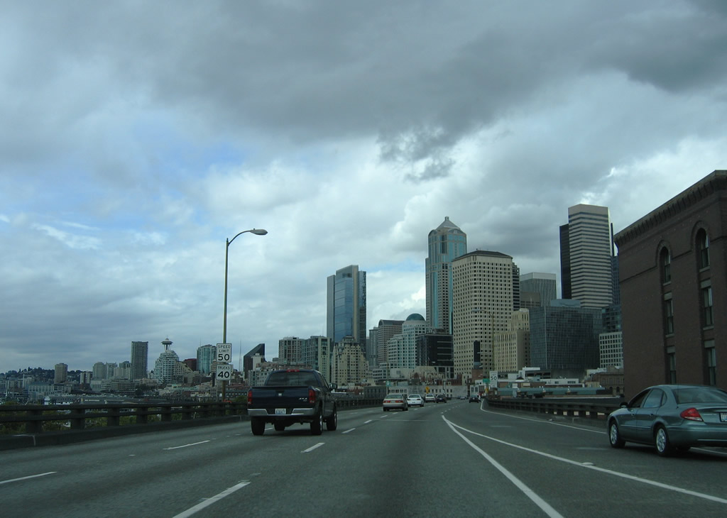
| SR 99 bisects a large railroad yard on the ground level section. The six lane freeway has a 50 mph speed limit along this stretch. 08/30/06 |
|
| Stacks of shipping containers within the Port of Seattle next to SR 99. E Marginal Way lines the west side of the freeway, leading directly to Alaskan Way S and the Downtown waterfront. 08/30/06 |
|
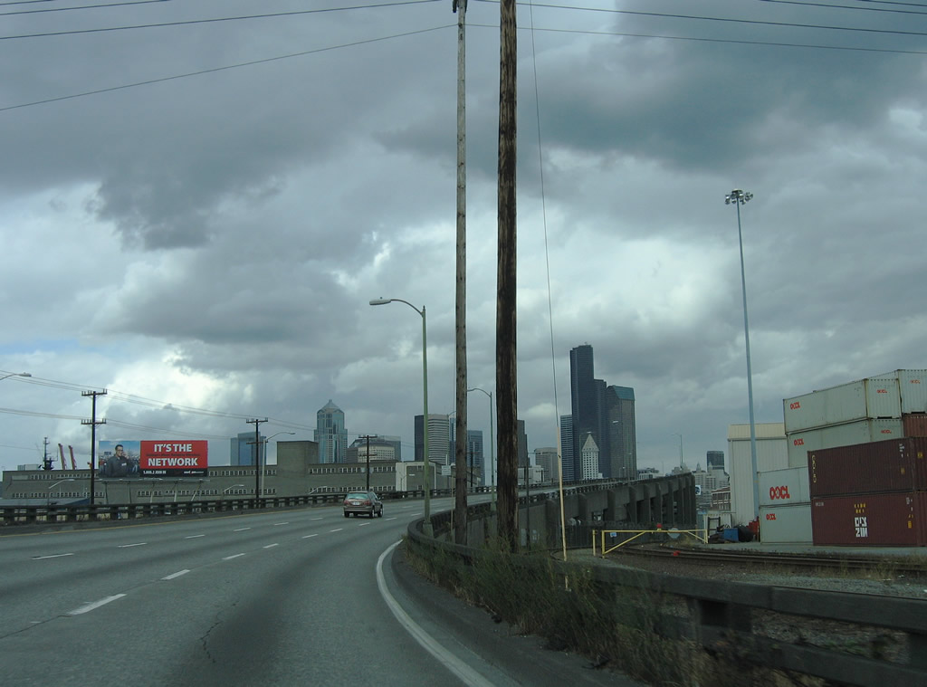
| The freeway formerly elevated onto the double-decked section of the Alaskan Way Viaduct on the northeastern curve by Massachusetts Street. 08/30/06 |
|
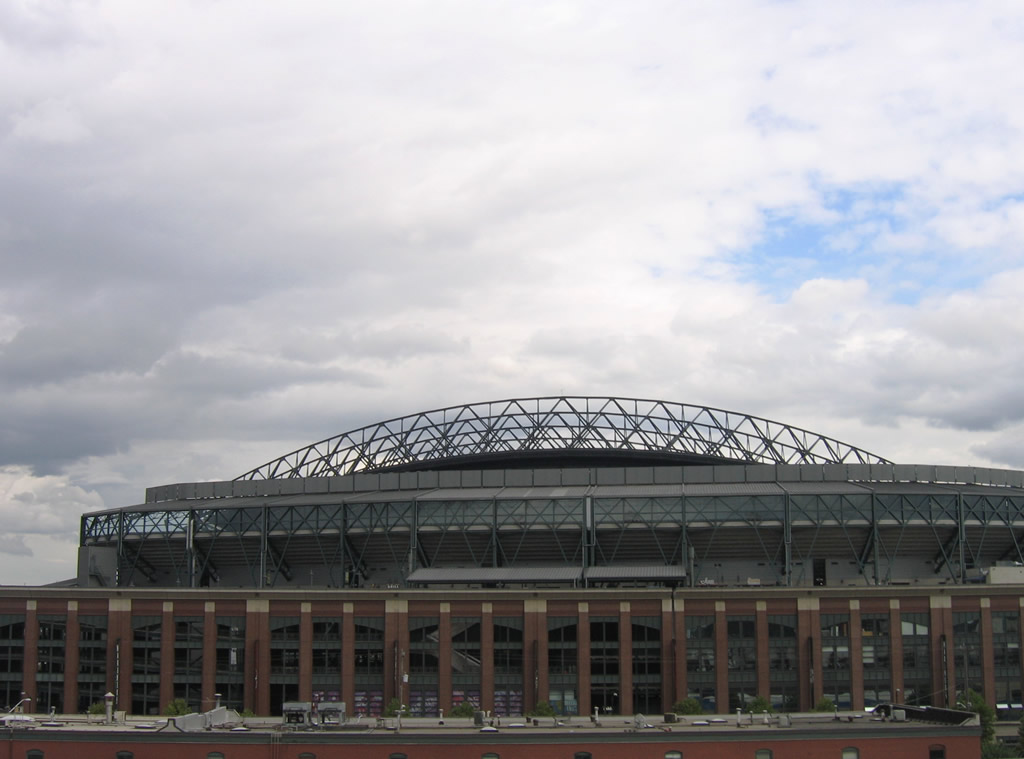
| The retractable roof of T-Mobile Park (home of the Seattle Mariners MLB franchise) came into view along the east side of the Alaskan Way Viaduct. SR 99 north used the top deck of the elevated structure. 08/30/06 |
|
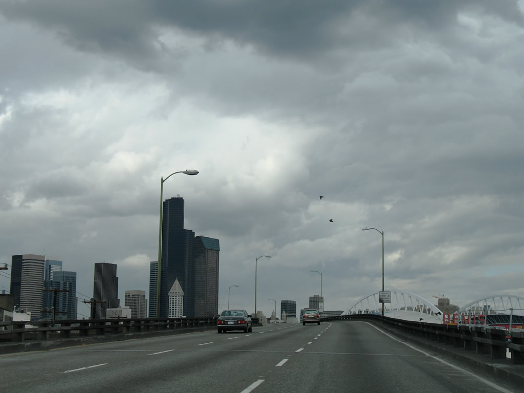
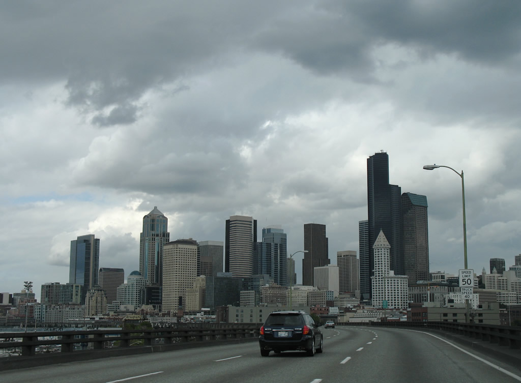
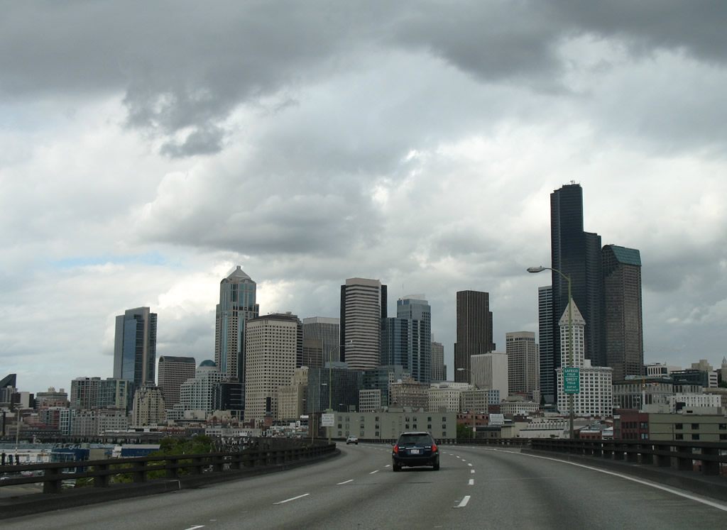
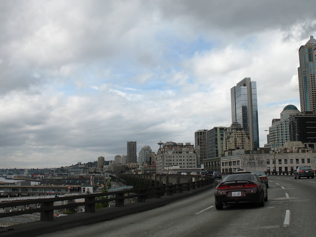
| The Alaskan Way Viaduct provided magnificent views of the Seattle skyline along SR 99 north. 08/30/06 |
|
| A ramp stub remained from an unconstructed freeway linking SR 99 with U.S. 10 along what later became part of Interstate 90 to the east. 08/30/06 |
|
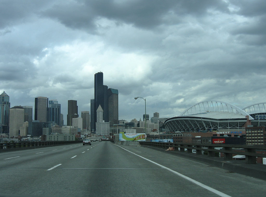
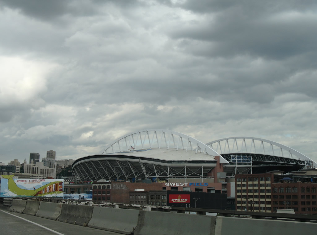
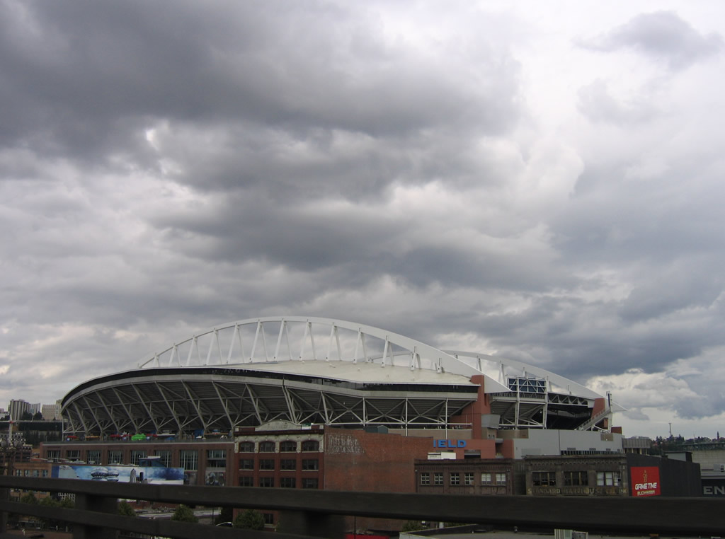
| Lumen Field, home of the Seattle Seahawks NFL franchise, appeared northeast of the stubs. 08/30/06 |
|
| T-Mobile Park from directly west on the former Alaskan Way Viaduct. 08/30/06 |
|
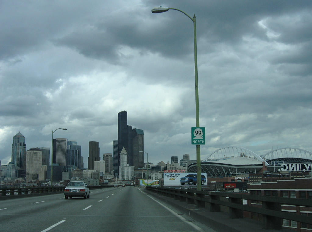
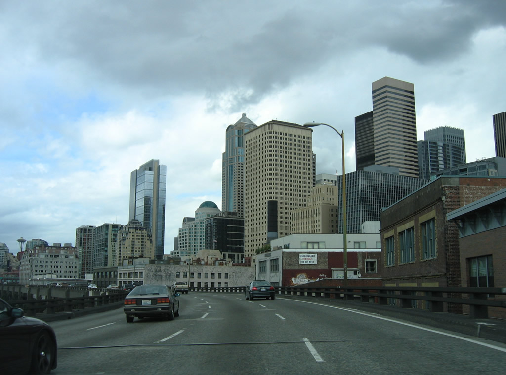
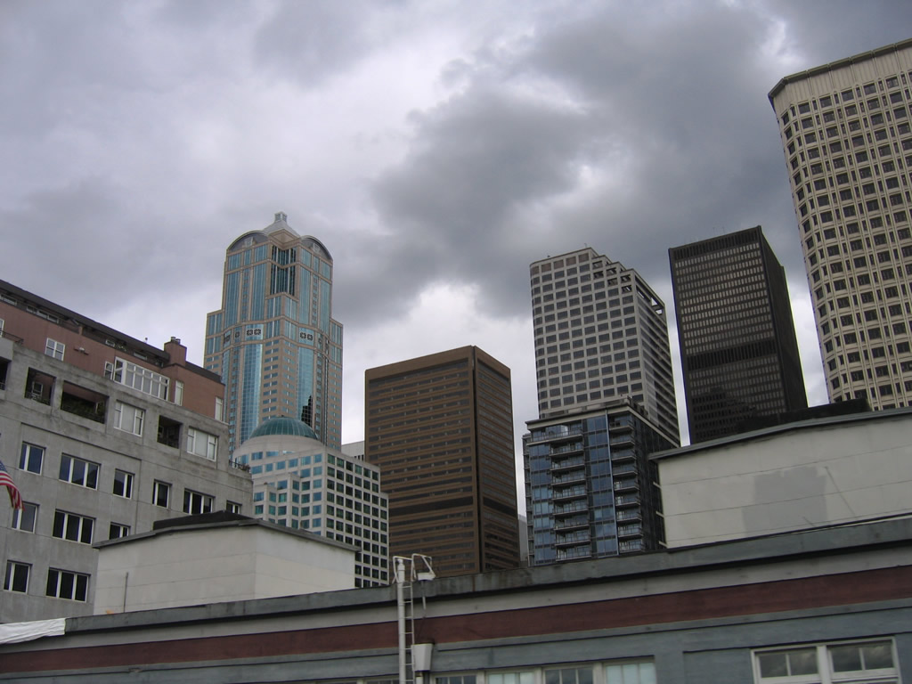
| Roughly paralleling Elliott Bay, SR 99 (Alaskan Way Viaduct) continued toward Downtown Seattle. Anchoring the skyline is the Columbia Center; next to it is Seattle Municipal Tower.1 08/30/06 |
|
| There was no direct access to the Seattle stadiums from SR 99 north. Instead motorists were directed onto the exit for Seneca Street to 1st Avenue southward. 08/30/06 |
|
| A second set of ramp stubs, both for the upper and lower decks of the viaduct, remained from the unconstructed freeway extending U.S. 10 west from Interstate 5. 08/30/06 |
|
| Former view of SR 99 heading north parallel to Alaskan Way (SR 519) to the west and 1st Avenue S to the east. SR 519 follows Royal Brougham Way from 4th Avenue S and the west end of I-90 to the Seattle-Bainbridge Island Ferry terminal. 08/30/06 |
|
| Extended ramps connected 1st Avenue S north with SR 99 north via a wye interchange north of Lumen Field. A portion of this connection was demolished in February 2011 as the first stage in the overall Alaskan Way Viaduct Replacement Program. 08/30/06 |
|
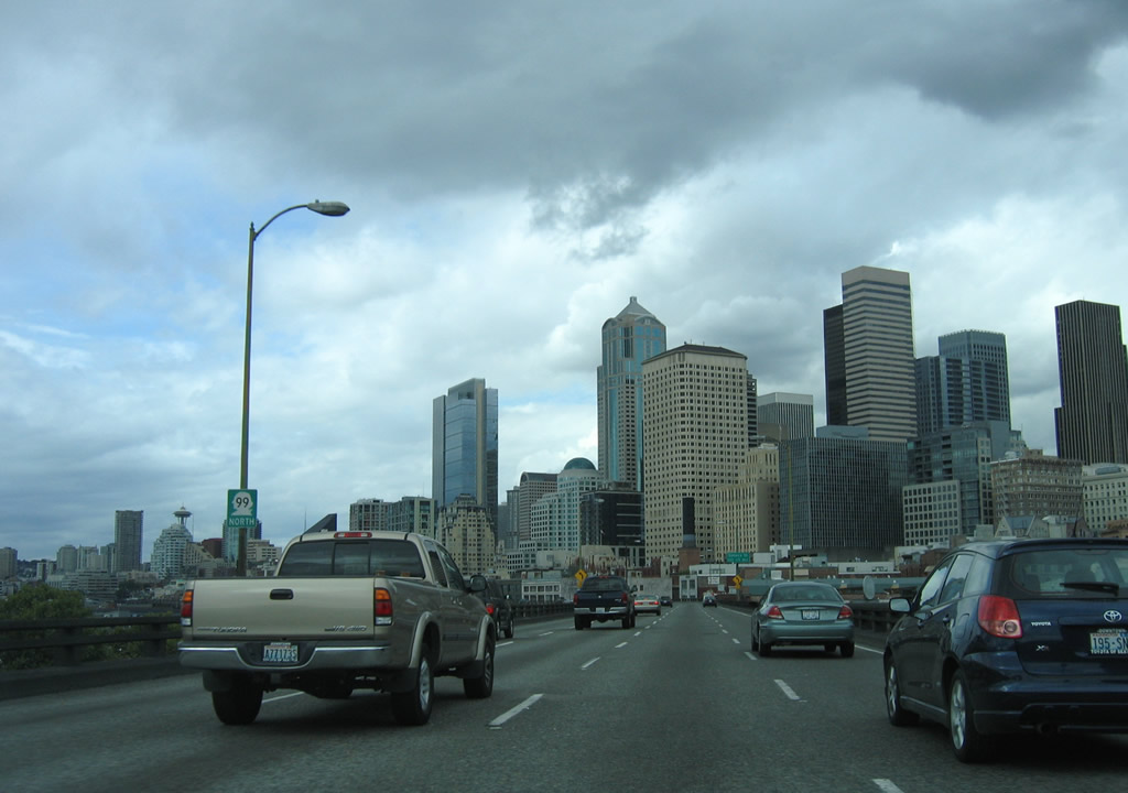
| An SR 99 reassurance marker posted after the entrance ramp from 1st Avenue S. That ramp later became part of the temporary bypass constructed for the removal of the viaduct to the south. 08/30/06 |
|
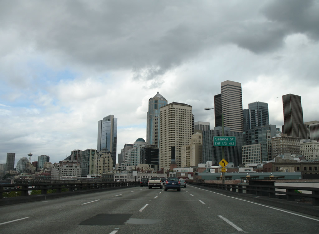
| The first exit beyond the West Seattle Bridge linked SR 99 north with Seneca Street east into Downtown Seattle. The ramp lowered into the intersection joining Seneca Street and 1st Avenue S. 08/30/06 |
|
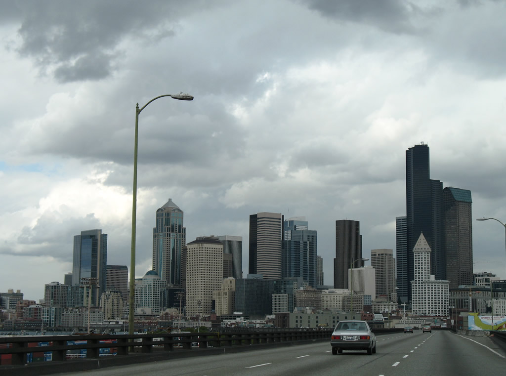
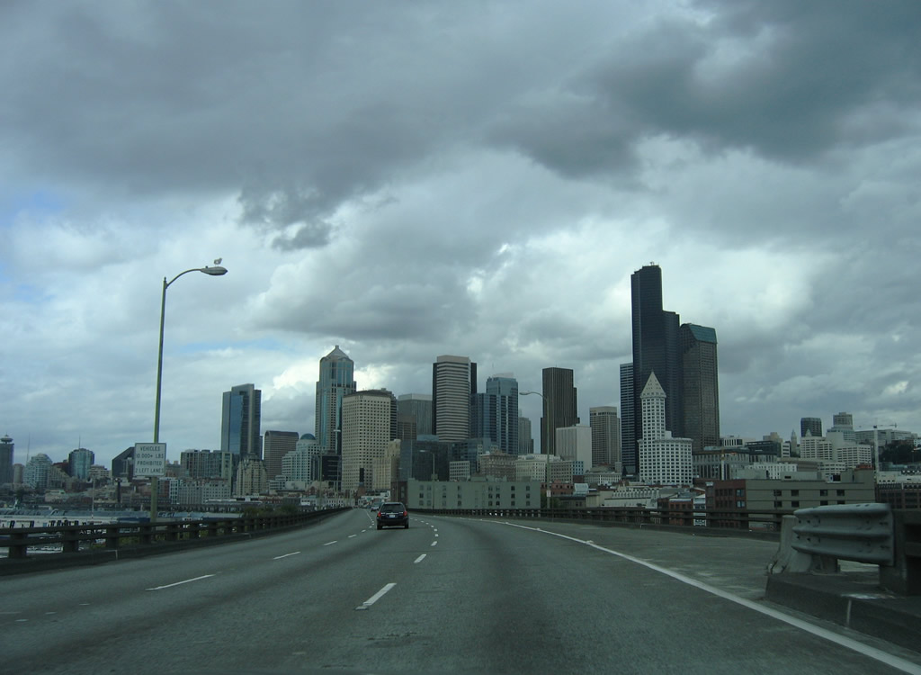
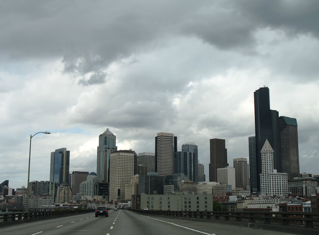
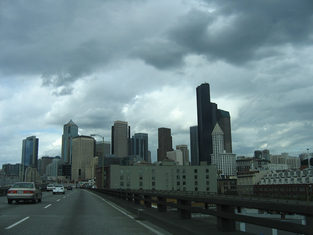
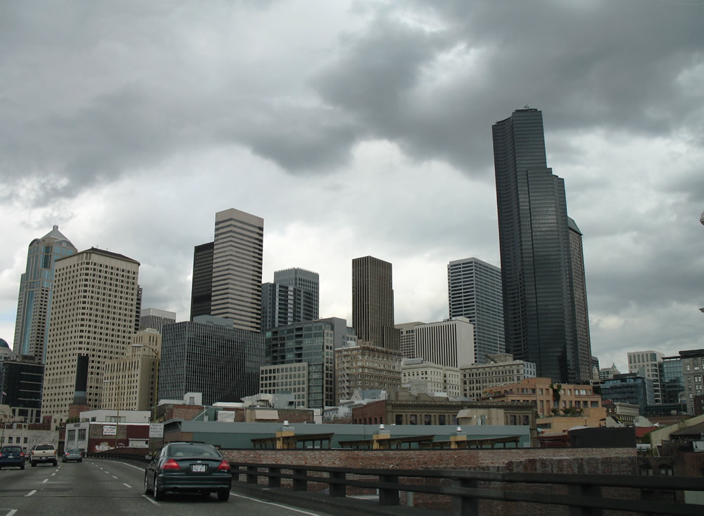
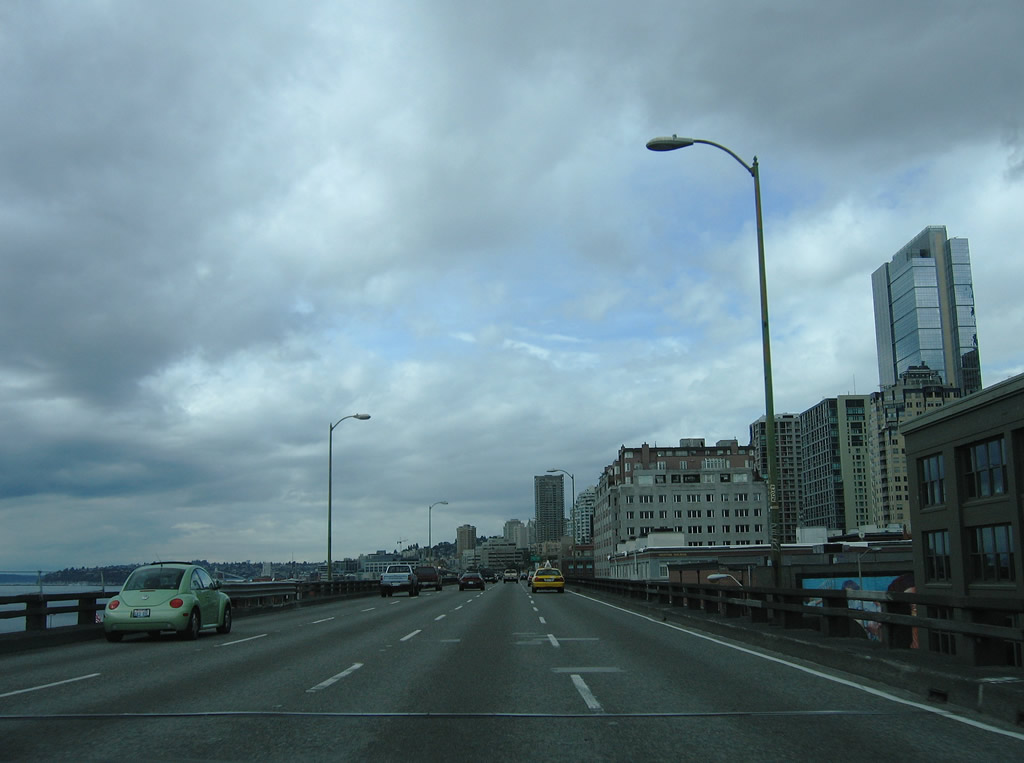
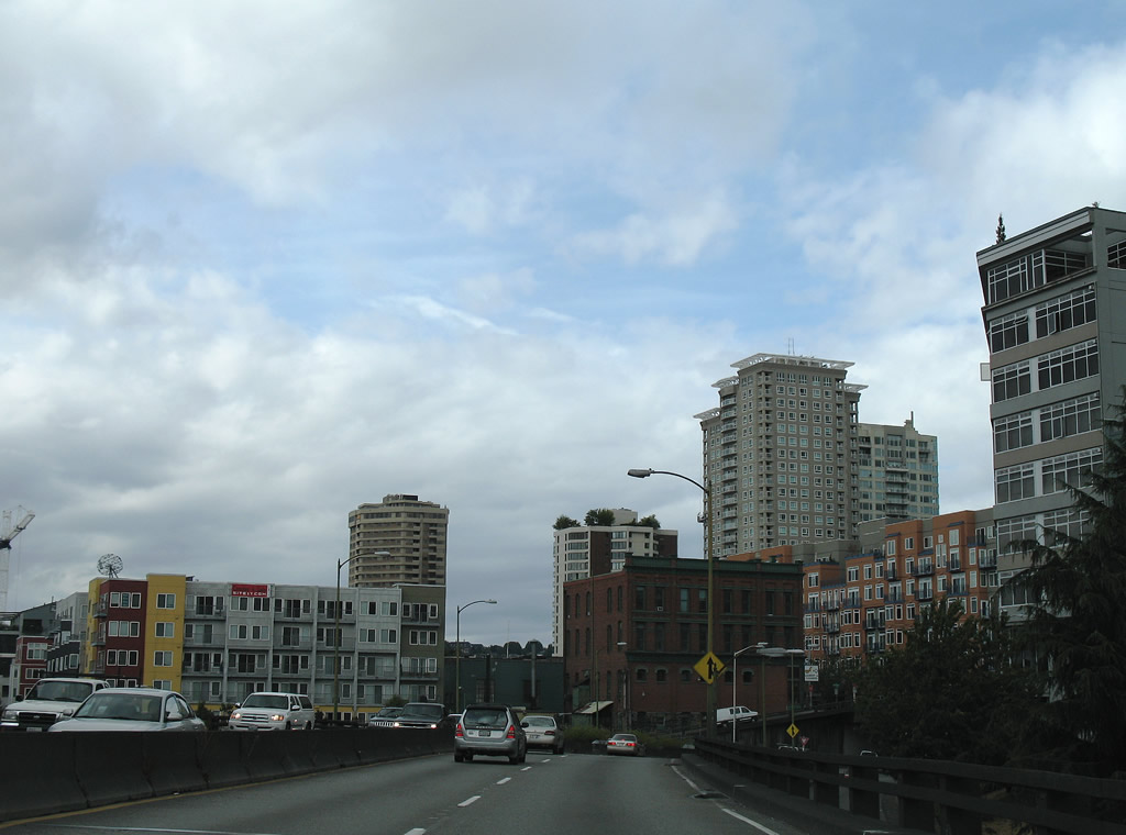
| Additional skyline views from SR 99 northbound. 08/30/06 |
|
| The Alaskan Way Viaduct shifted northwest over S Washington Street. SR 519 (Alaskan Way) appeared alongside the double deck freeway in this view. The elevated structure opened on April 5, 1953.2 08/30/06 |
|
| Continuing north along the upper deck of the Alaskan Way Viaduct. 08/30/06 |
|
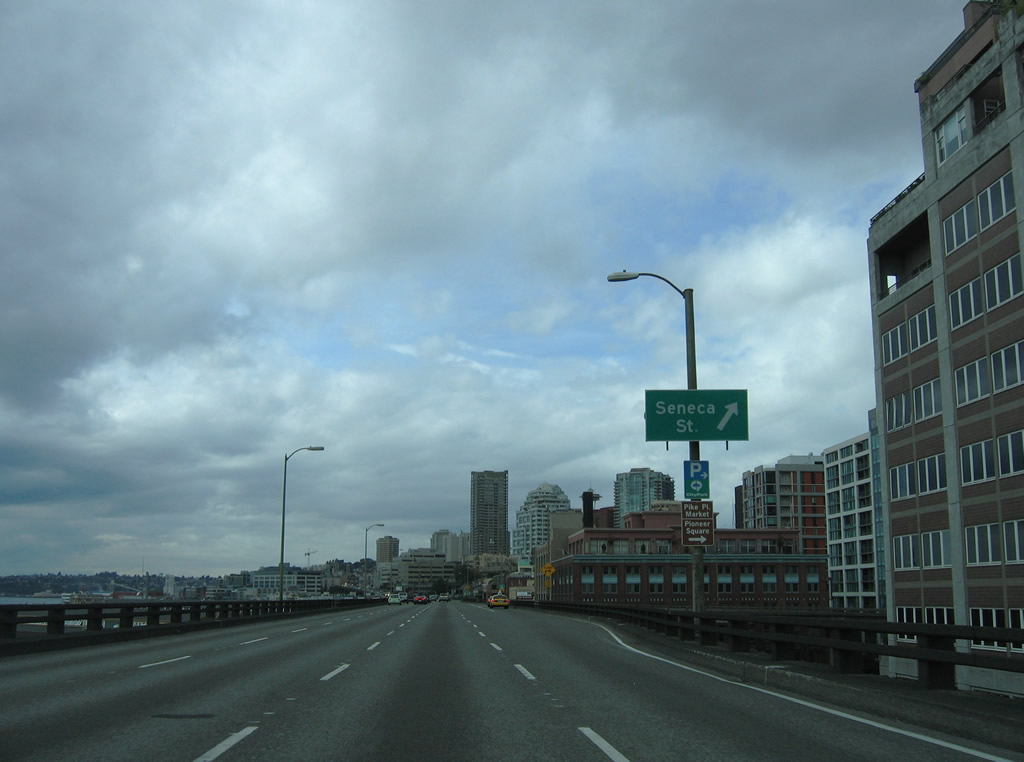
| The exit for Seneca Street connected SR 99 with Pike Place Market and Pioneer Square. 08/30/06 |
|
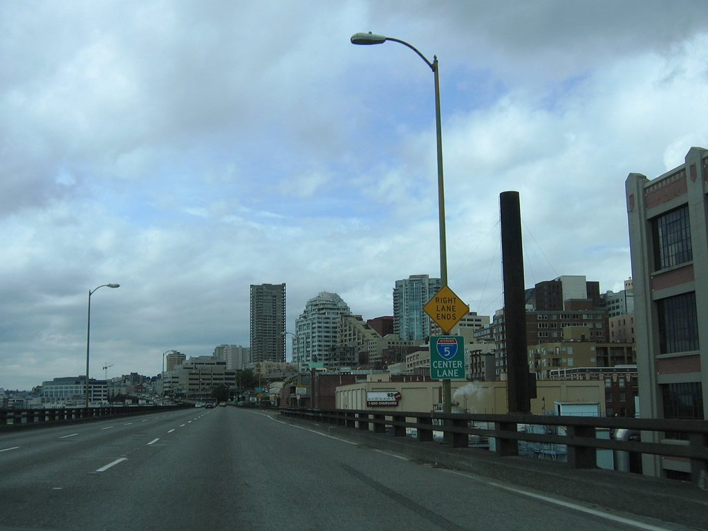
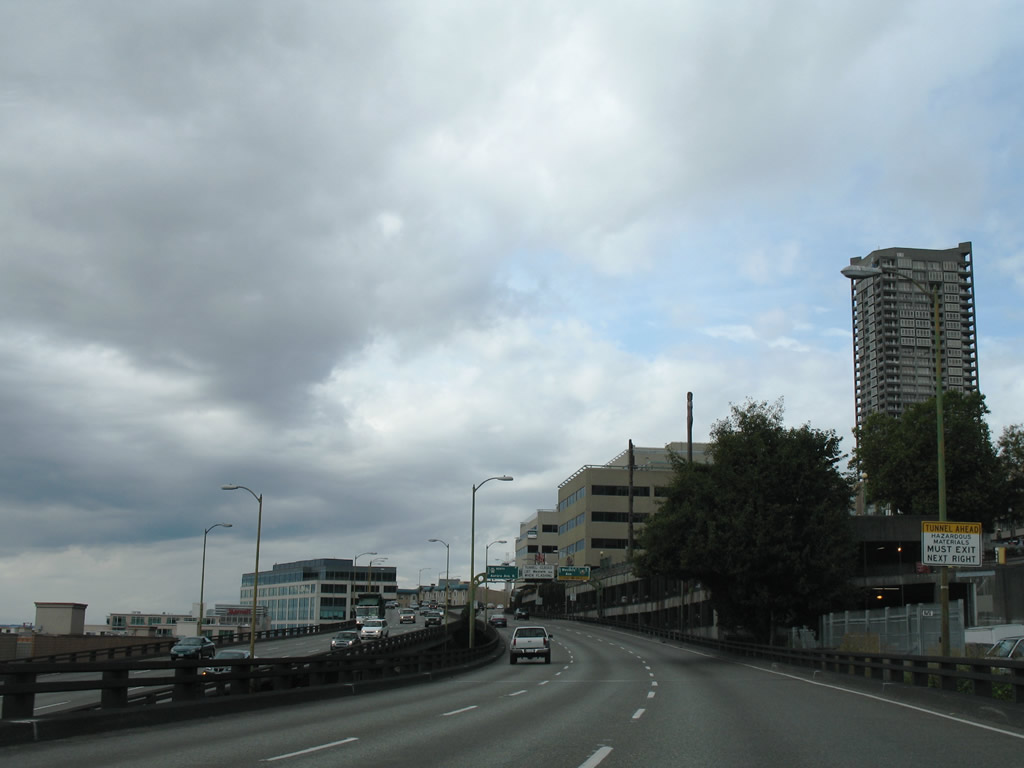
| Northbound SR 99 narrowed to three lanes ahead of the descent into the Battery Street Tunnel. 08/30/06 |
|
| A wide shoulder north of Seneca Street was left over from a cancelled entrance ramp. 08/30/06 |
|
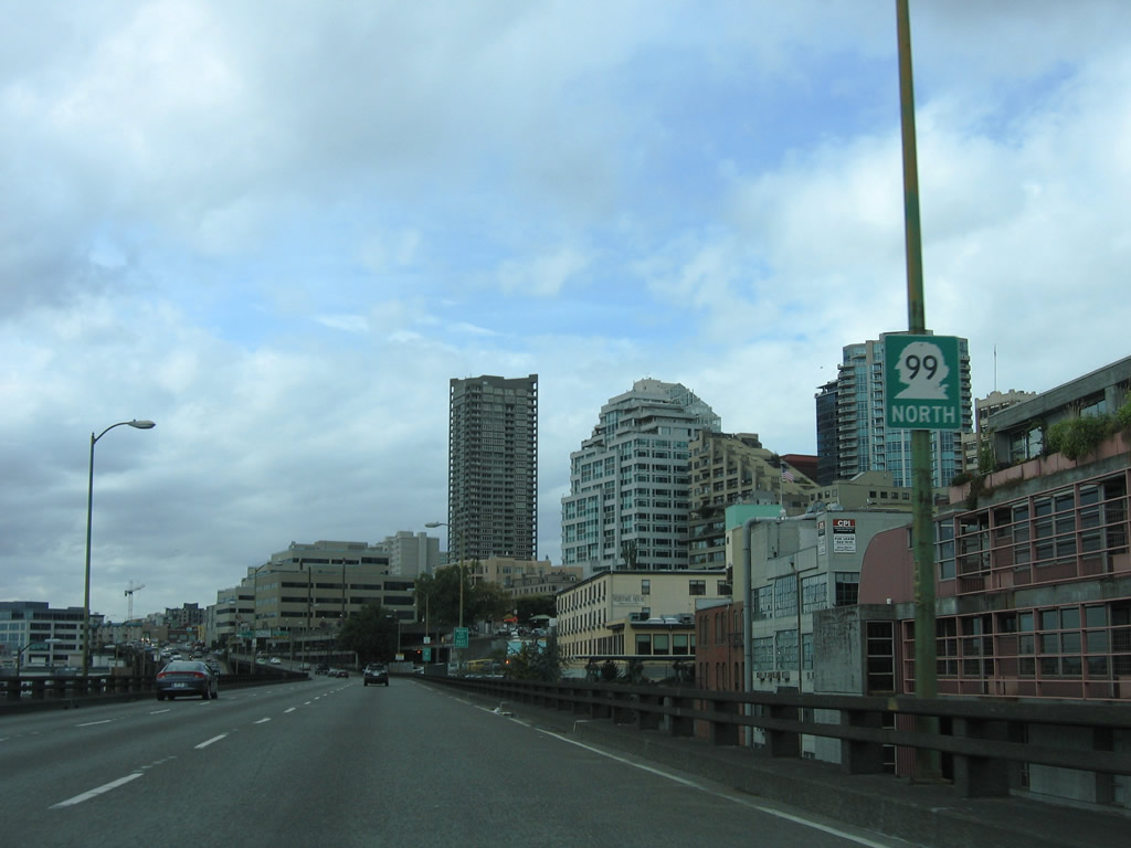
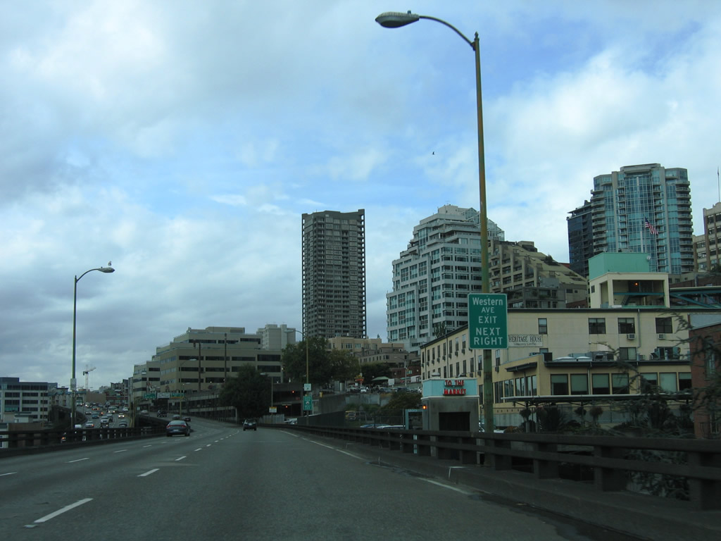
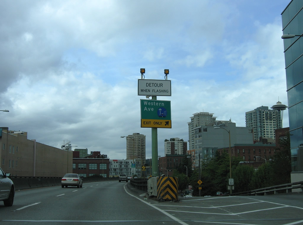
| The Alaskan Way Viaduct transitioned from a double deck structure into side by side three lane bridges from near Victor Steinbrueck Park to a half diamond interchange with Western Avenue. 08/30/06 |
|
| Western Avenue began at Yesler Way and paralleled SR 99 one block to the east through Downtown to Pike Place Market. SR 99 met Western Avenue at Bell Street and the Belltown section north of Downtown. 08/30/06 |
|
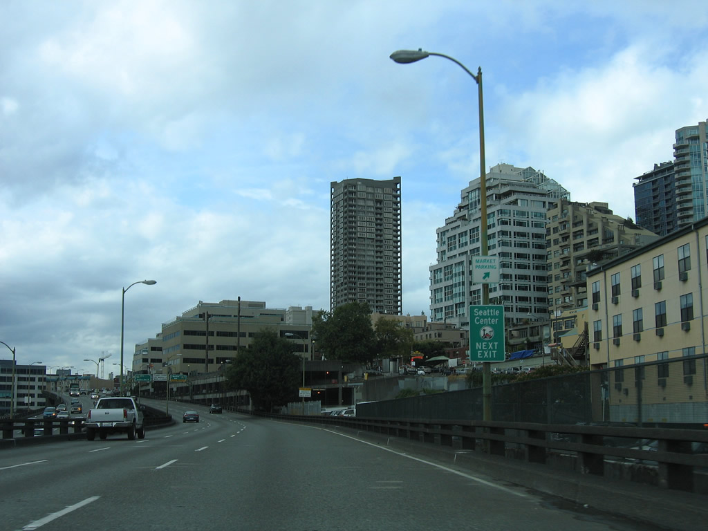
| Western Avenue provides access to the Olympic Sculpture Park and Seattle Center. Home to the Space Needle, Key Arena, Memorial Stadium, the Pacific Science Center and other attractions, Seattle Center opened in 1962 as part of the Century 21 Exposition.3 08/30/06 |
|
| Passing by Victor Steinbrueck Park along SR 99 north. A portion of the park occupied the top level of a parking deck. 08/30/06 |
|
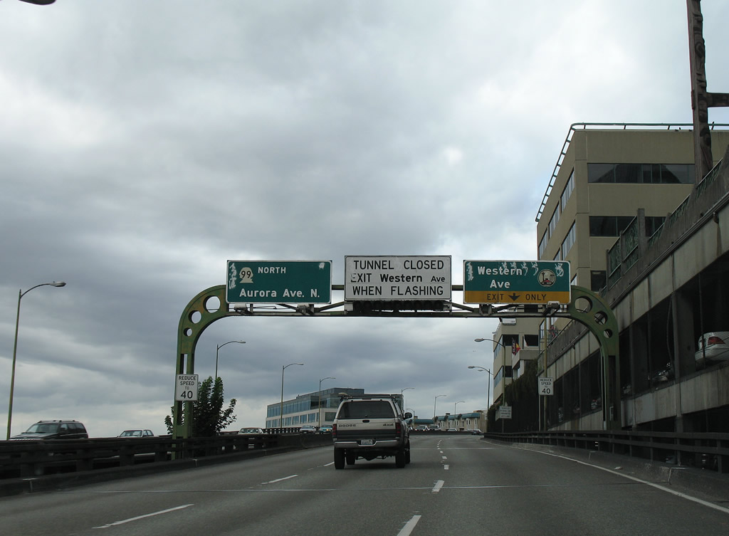
| A lane drop occurred at the exit for Western Avenue north at Bell Street. 08/30/06 |
|
| When an accident or other incident occurred within the Battery Street Tunnel, traffic was diverted onto Western Avenue and Battery Street north.4 08/30/06 |
|
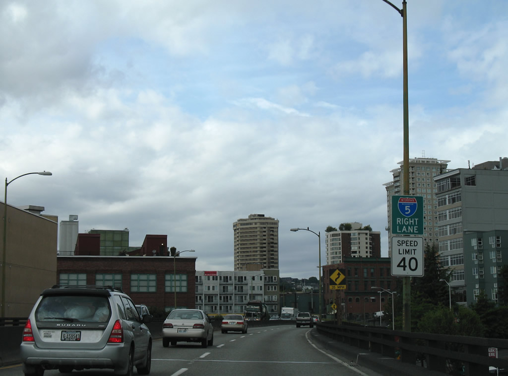
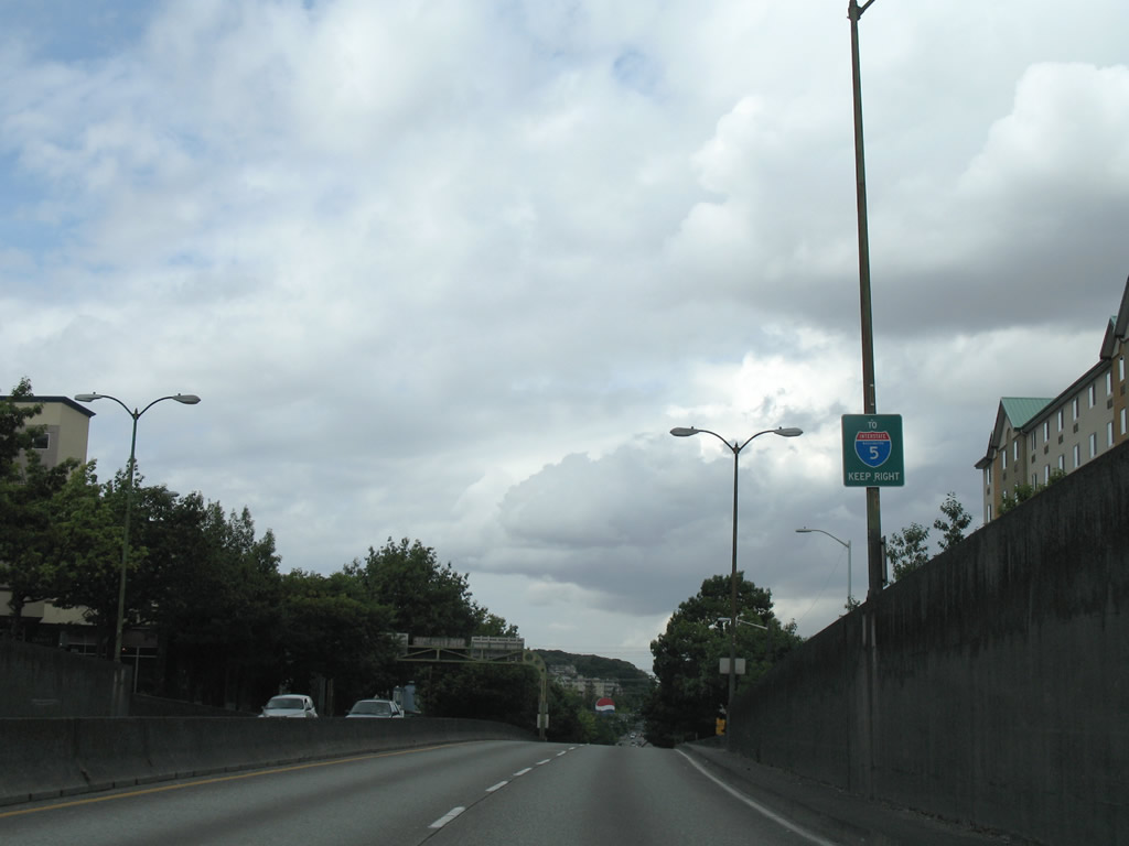
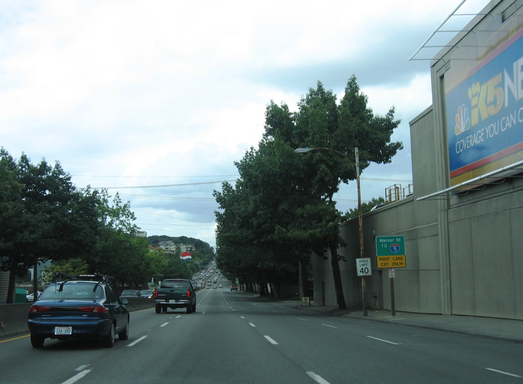
| An exit to Dexter Avenue N and Mercer Street connected SR 99 (Aurora Avenue N) with Interstate 5 beyond the Battery Street Tunnel. 08/30/06 |
|
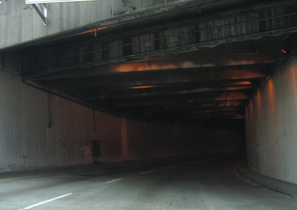
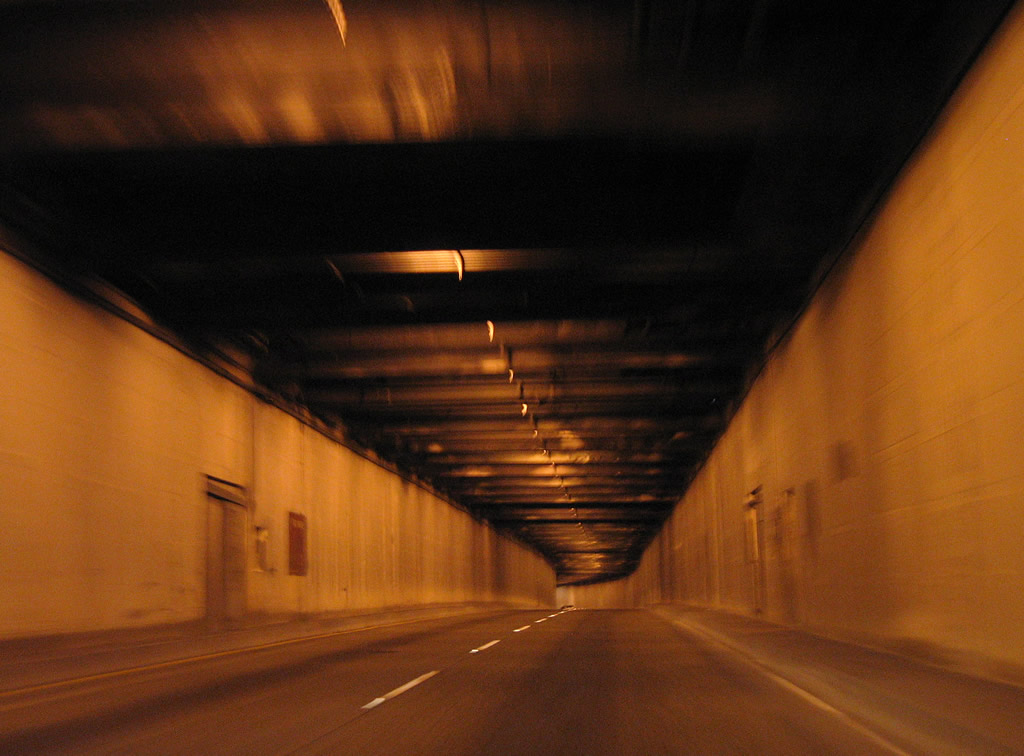
| Lowering into the Battery Street Tunnel along SR 99 north. 08/30/06 |
|
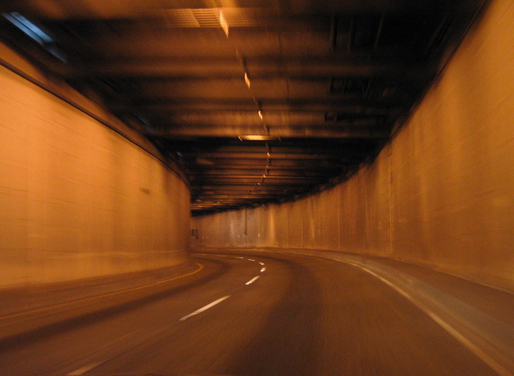
| SR 99 angles northeast through the Battery Street Tunnel below Battery Street from 1st Avenue to Aurora Avenue N. Measuring 3,140 feet in length, the tunnel opened to traffic in 1952.4 08/30/06 |
|
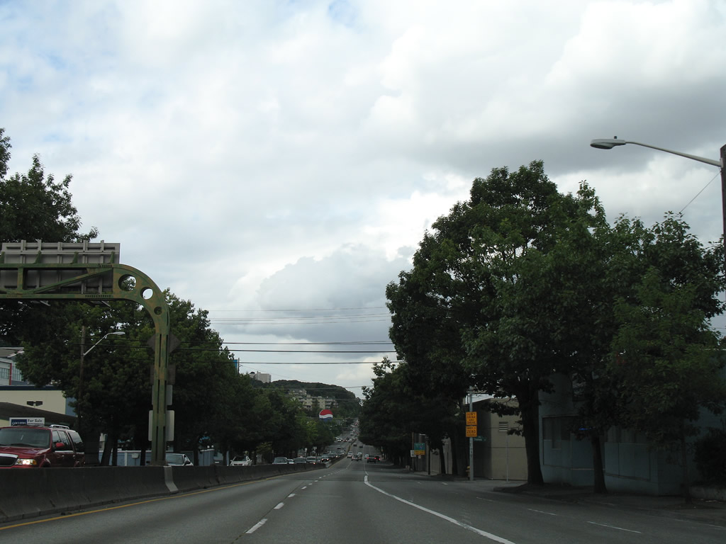
| Ascending from the Battery Street Tunnel, SR 99 joined Aurora Avenue N to the city of Shoreline. Broad Street followed. 08/30/06 |
|
| Access control measures implemented along Aurora Avenue N included a barrier median northward to Green Lake and grade separations such as the one with Broad Street. 08/30/06 |
|
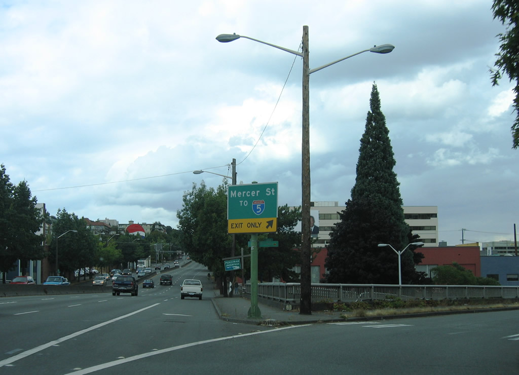
| The entrance ramp from Denny Way added a fourth northbound lane to the exit for 6th Avenue N to Mercer Street east. 08/30/06 |
|
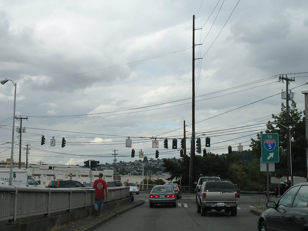
| SR 99 (Aurora Avenue N) passed over Broad Street and Mercer Street north of the ramp to 6th Avenue N. 6th Avenue N connected the six lane boulevard with Dexter Avenue at Mercer Street one block to the east. 08/30/06 |
|
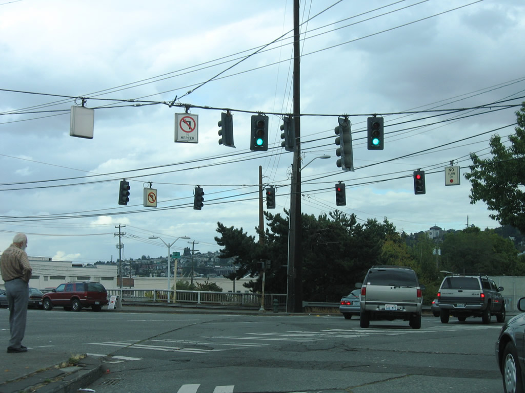
| The former ramp to 6th Avenue N lead into an elevated intersection above Broad Street. Dexter Avenue runs north from Denny Park to Lake Union. Mercer Street comprises a six lane boulevard between SR 99 and Interstate 5. 08/30/06 |
Page Updated 06-13-2013.


 North
North