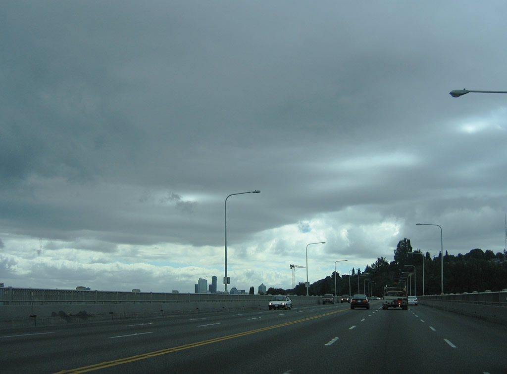
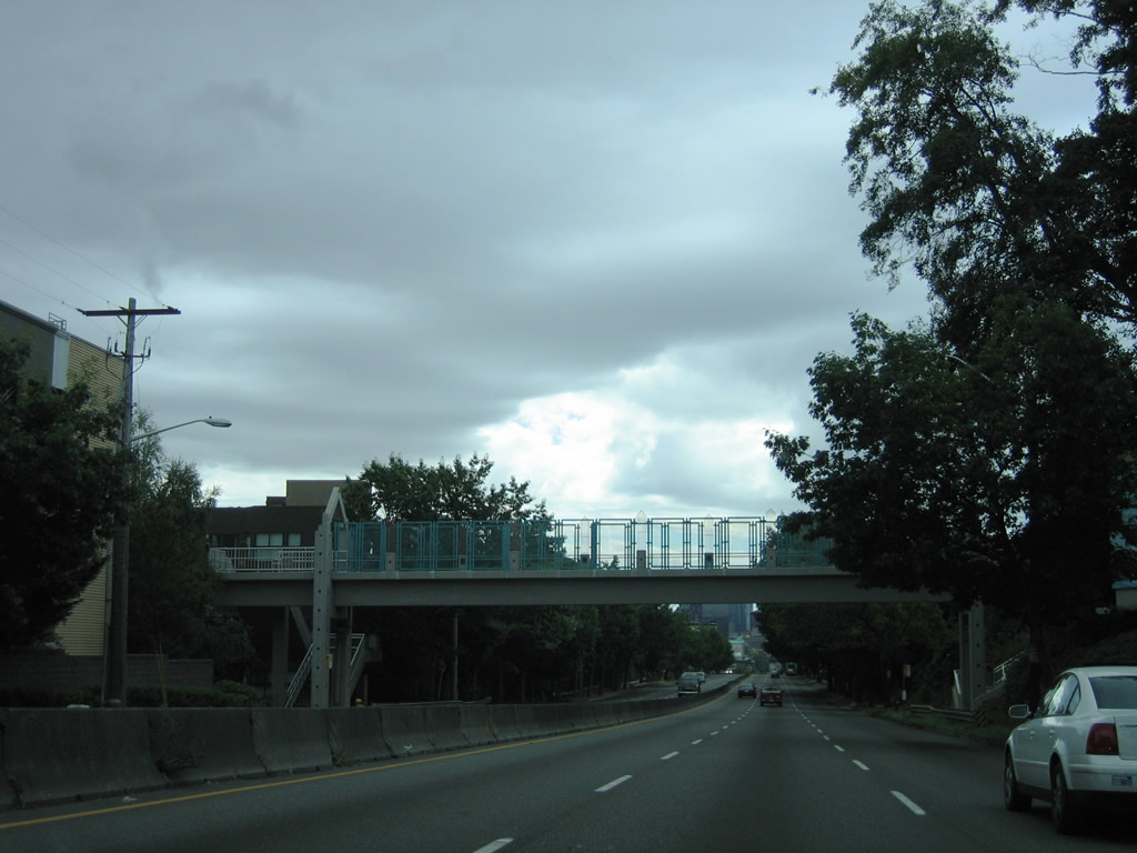
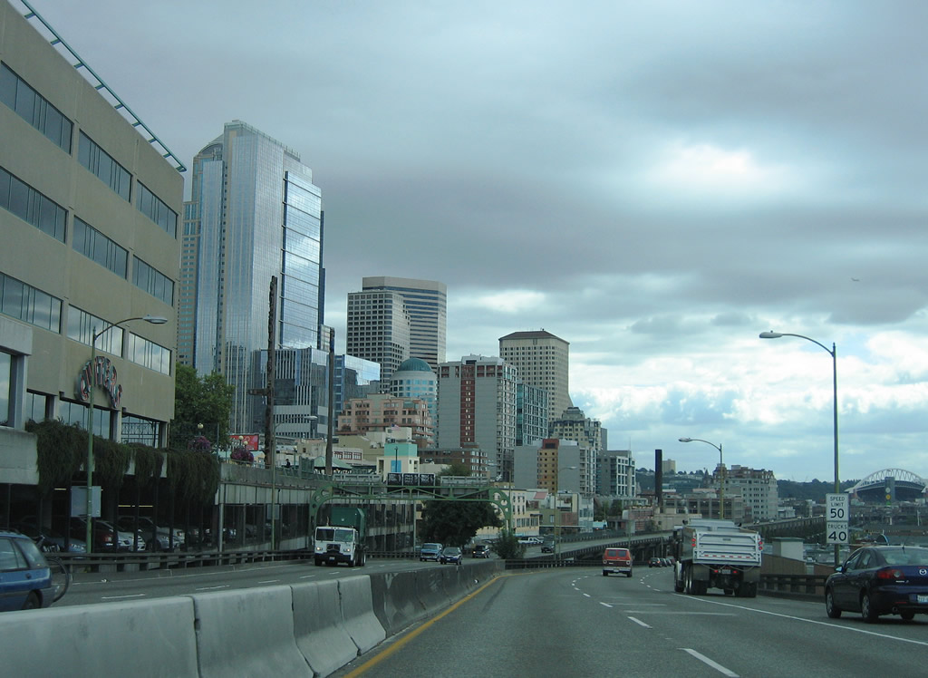
Broad Street was built in the 1950s as an urban expressway joining Seattle Center with 9th Avenue N, Mercer Street, Valley Street and Westlake Avenue. The Mercer Corridor Project reconstructed Mercer Street east into a six lane boulevard from 9th Avenue N to Interstate 5. Broad Street was eliminated entirely southwest from 9th Avenue N to 5th Avenue N. Valley Street, the previous preferred route from SR 99 (Aurora Avenue) to Seattle Center, was reduced to a local street. Roy Street was improved as the new connection from SR 99 to Seattle Center.
1
Initial construction on the Mercer Corridor Project commenced on September 8, 2010 at Westlake Avenue. The first phase of work, opening Mercer Street to two way traffic between Dexter Avenue N and I-5, was completed in Fall 2013. Work on the second phase between Dexter Avenue N and 5th Avenue N, took place between Spring 2015 and 2015.1
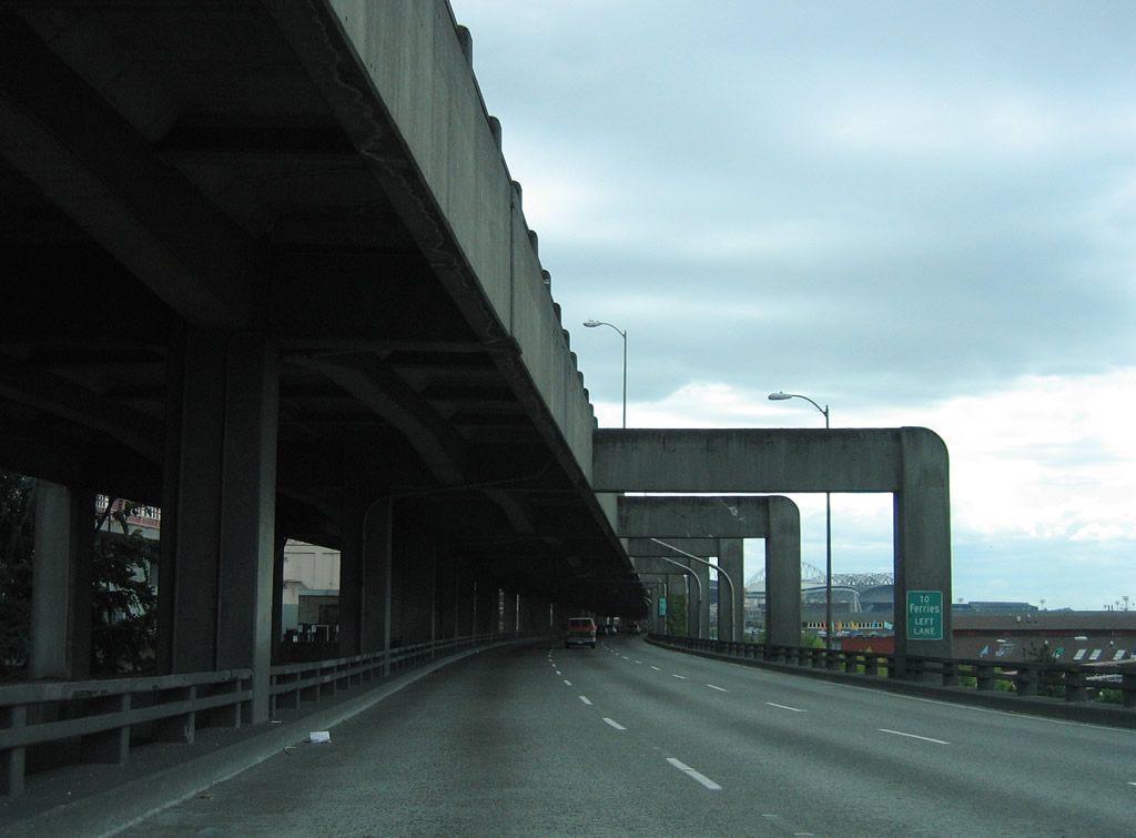
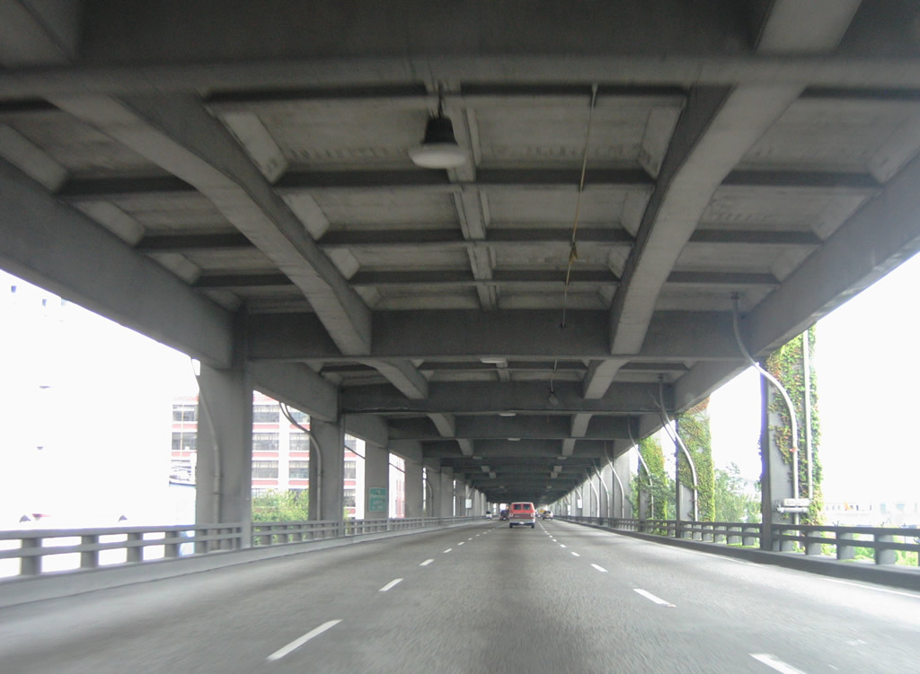
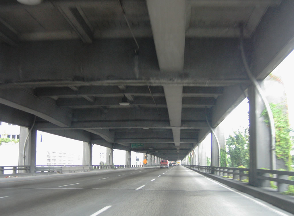
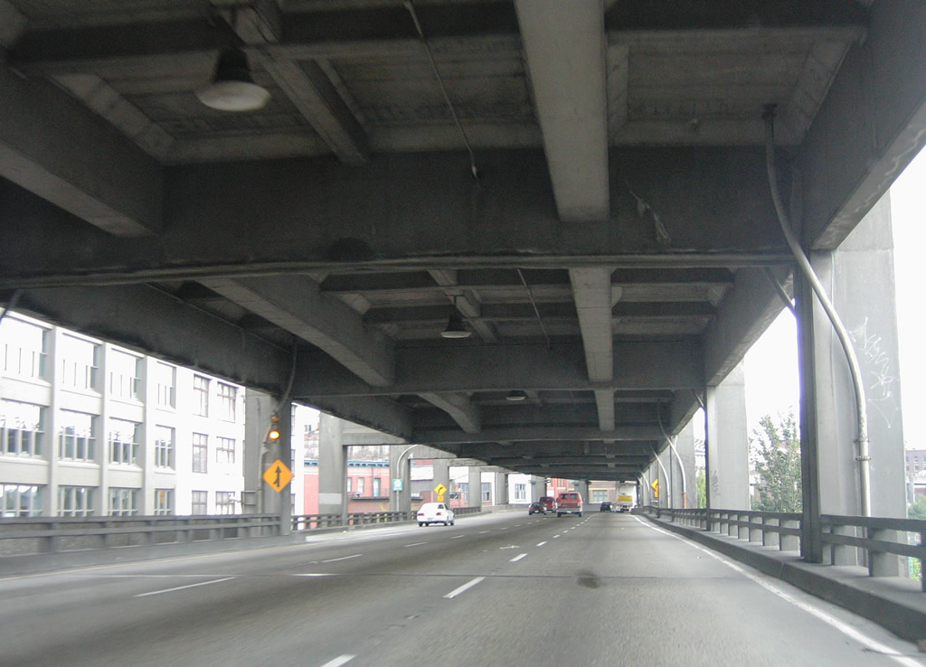
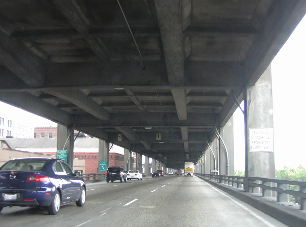
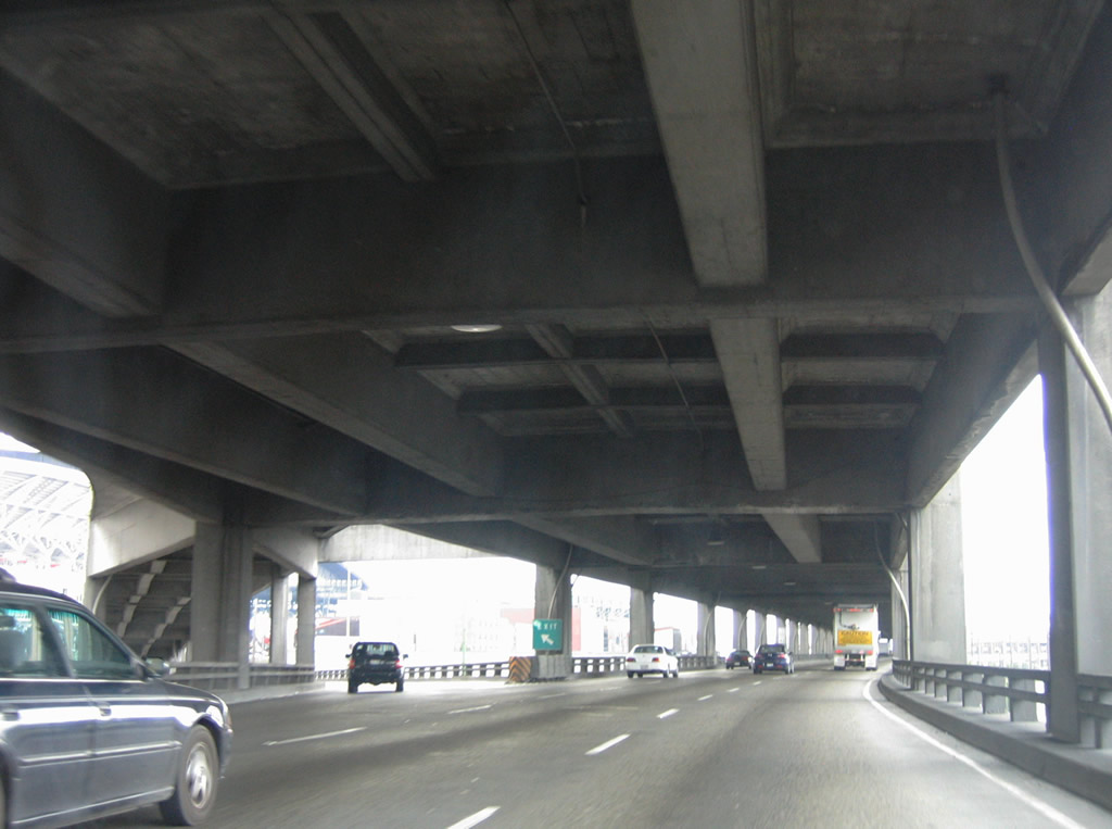
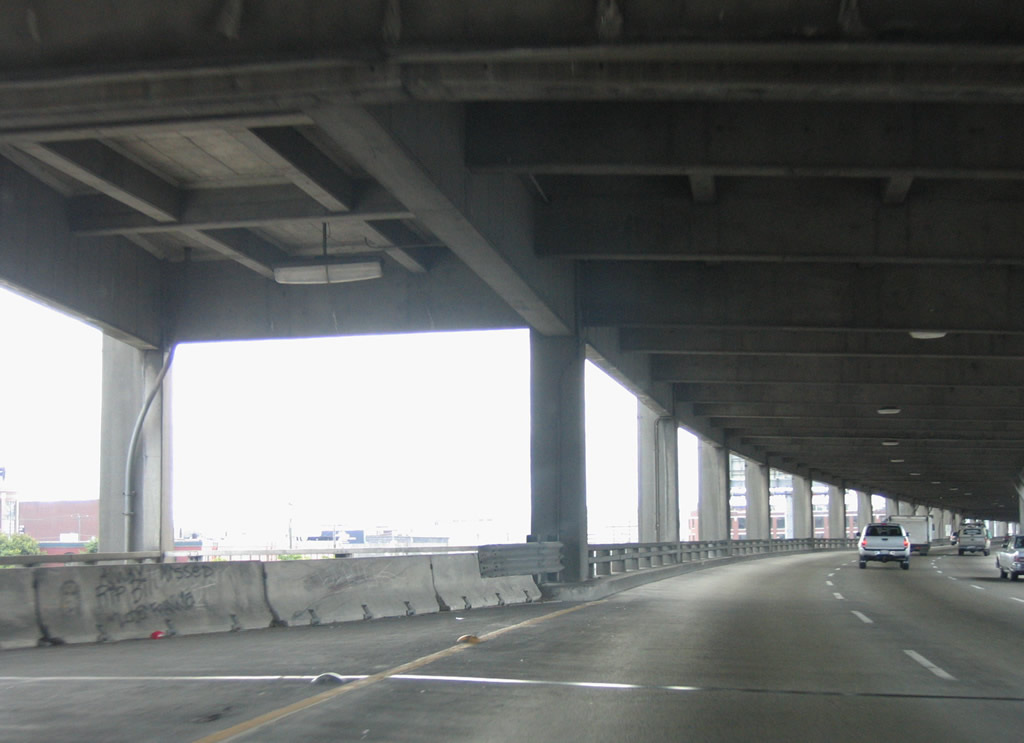
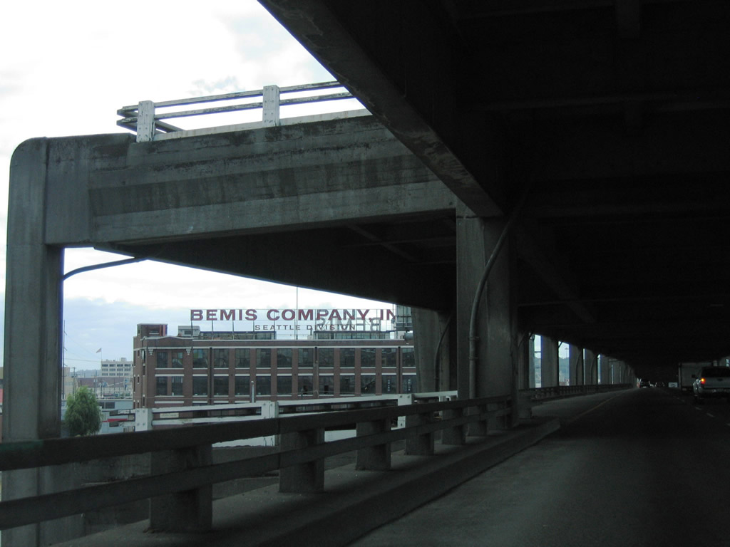
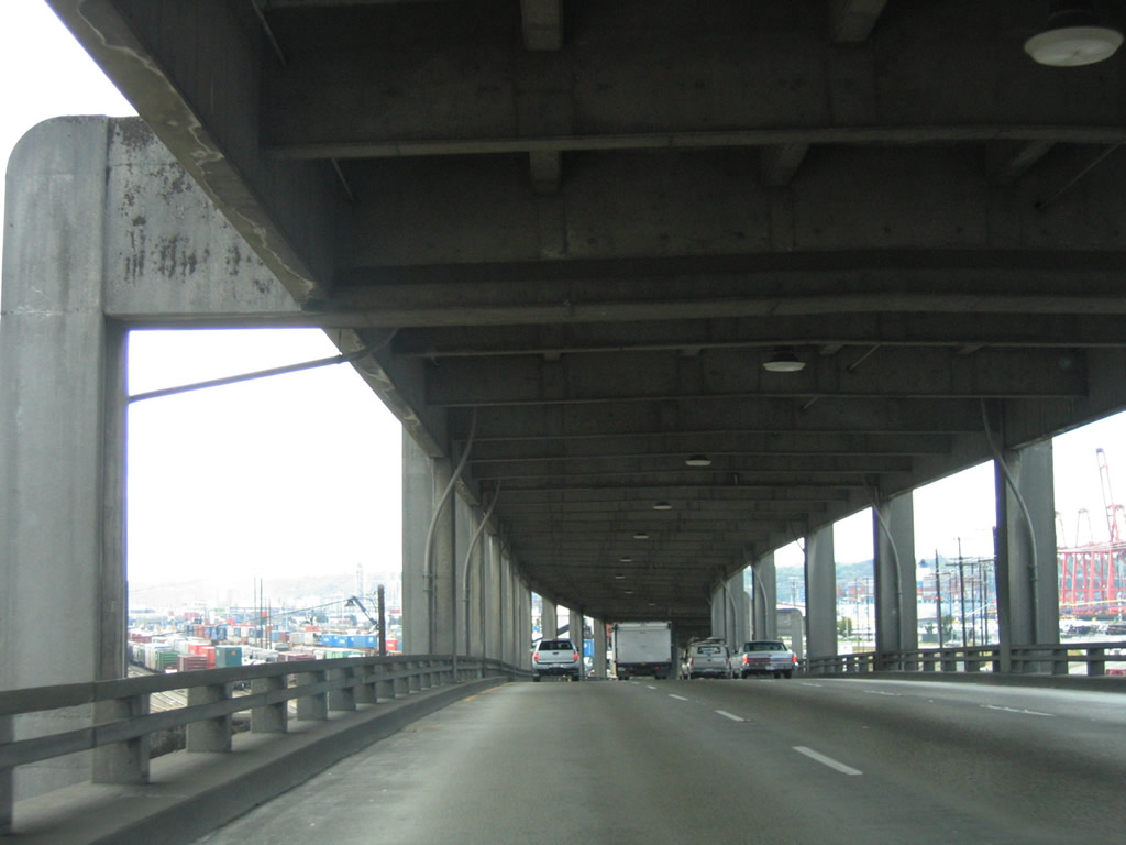
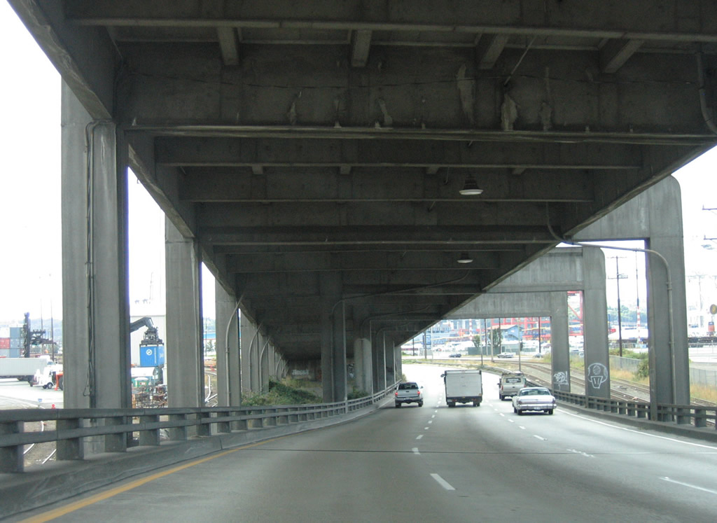
The Alaskan Way Viaduct was demolished between the off-ramp to 1st Avenue S and the area west of Holgate Street in October 2011. All photos from Elliott Avenue to the West Seattle Bridge approach show the former double deck freeway.
|
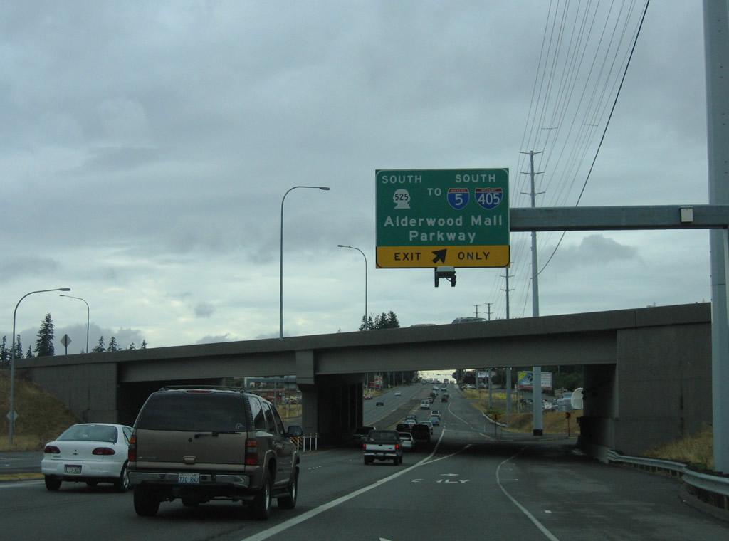
| SR 99 (Pacific Highway) converges with SR 5R 525 (Mukilteo) at a parclo interchange just east of Lake Serene. SR 525 leads south from Mukilteo to the Alderwood Mall area and I-5/405. 08/29/06 |
|
| SR 99 shield assembly posted along Aurora Avenue southbound after N 97th Street in Seattle. 08/29/06 |
|
| With six lanes, Aurora Avenue crosses 90th Street east of Crown Hill and Greenwood in Seattle. 08/29/06 |
|
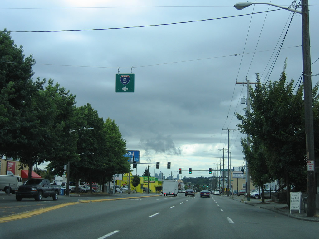
| N 85th Street leads east from SR 99 (Aurora Avenue) to Interstate 5 at Exit 172. 08/29/06 |
|
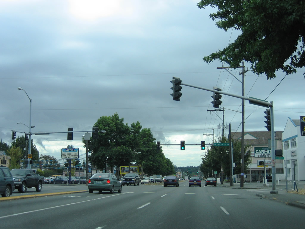
| Green Lake Drive stems east from the five point intersection with SR 99 (Aurora Avenue) and N 83rd Street to the Green Lake and Meridian neighborhoods. 08/29/06 |
|
| The intersection with N 80th Street follows along SR 99 (Aurora Avenue) south. N 80th Street provides an alternate route to Interstate 5 east of Green Lake. 08/29/06 |
|
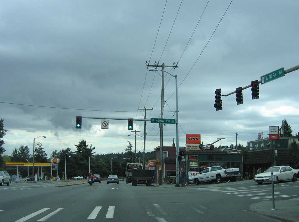
| Winona Avenue N fans out from the Green Lake Drive intersection with Ashworth Avenue to SR 99 (Aurora Avenue) ahead of Linden Avenue. 08/29/06 |
|
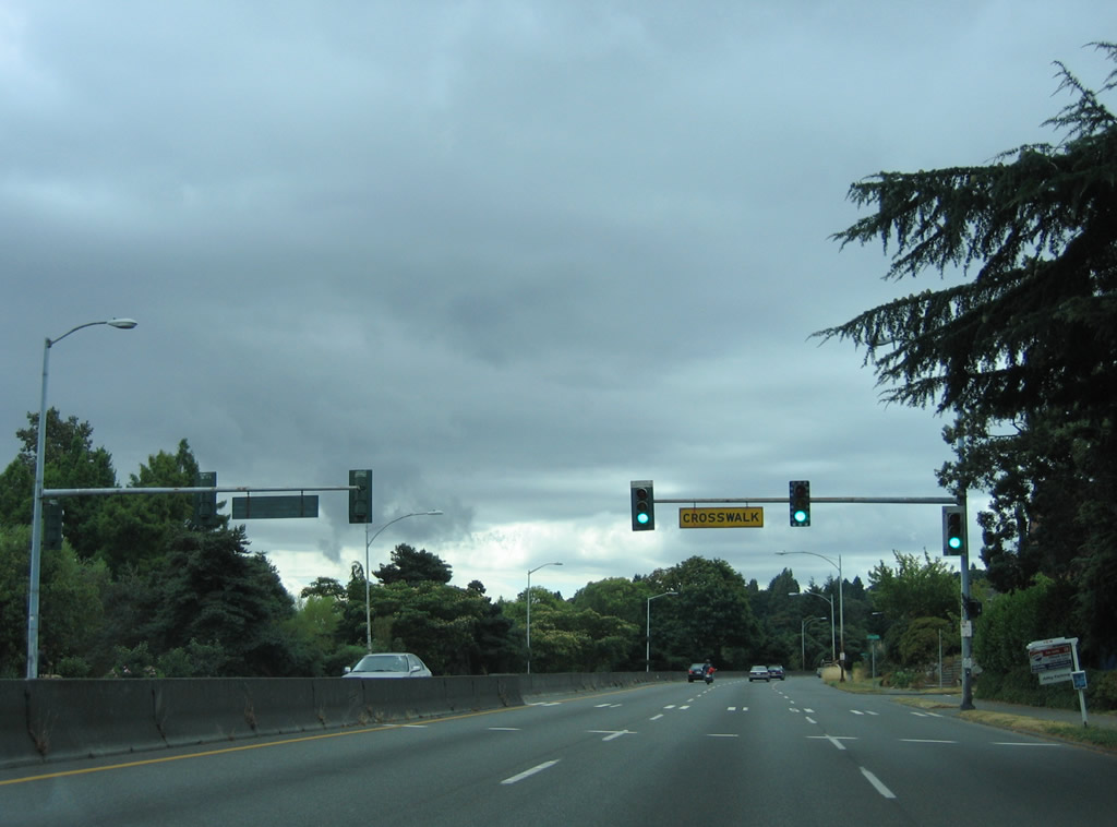
| A pedestrian signal operates along SR 99 between N 70th and 68th Streets, linking the residential area west of Aurora Avenue with the Green Lake park area to the east. 08/29/06 |
|
| SR 99 (Aurora Avenue) enters a controlled access stretch of arterial through Woodland Park. N 59th Street connects the six lane arterial with Woodland Park Zoo to the west. 08/29/06 |
|
| Three arched pedestrian overpasses pass over Aurora Avenue between the east and western sections of Woodland Park. These were constructed in 1933. 08/29/06 |
|
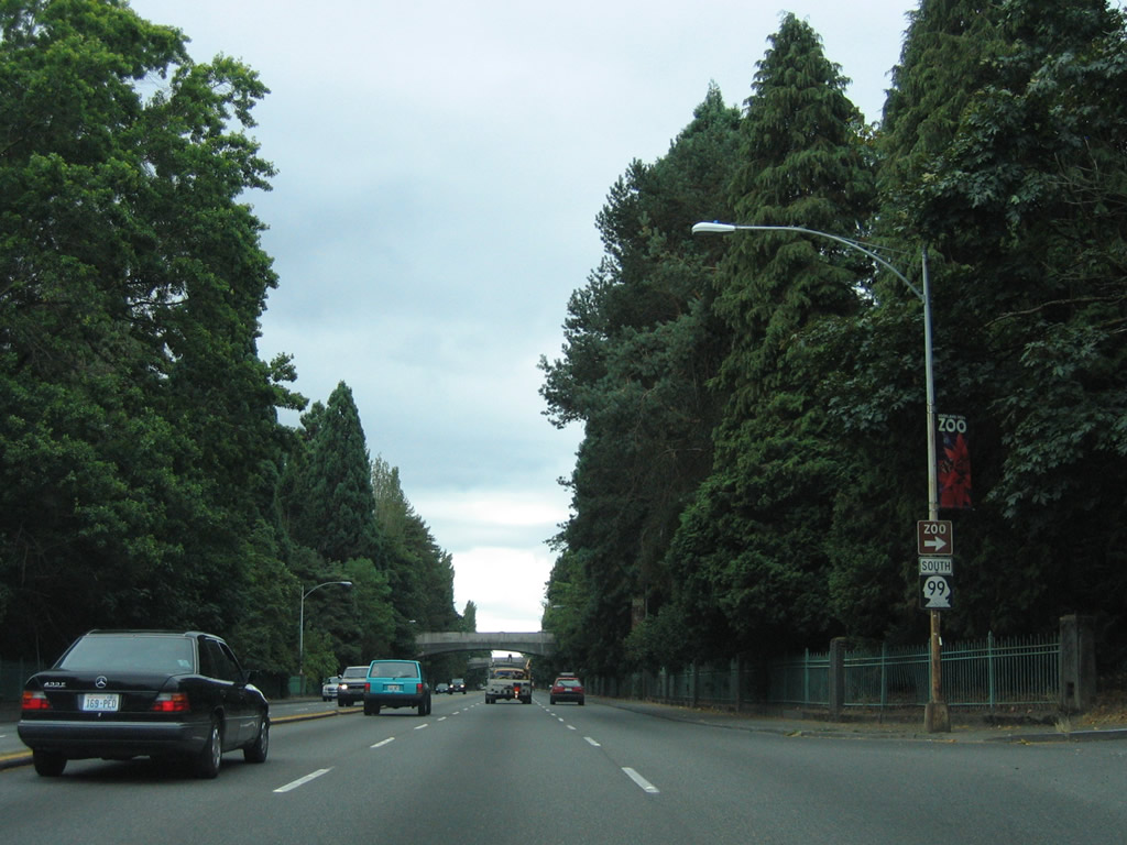
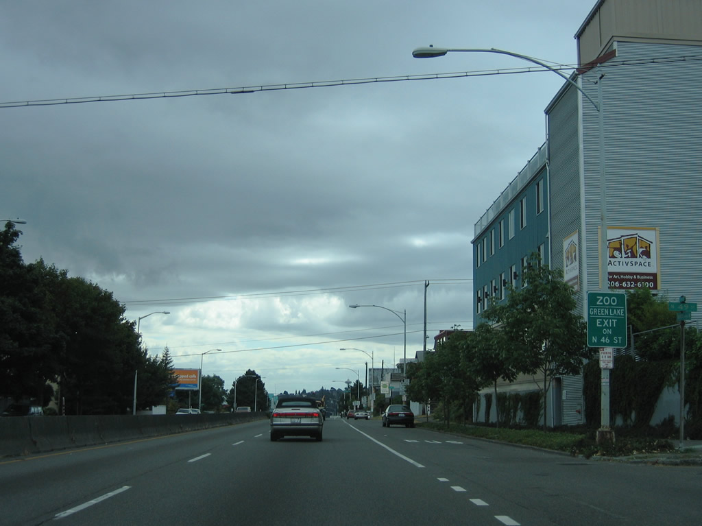
| Exiting Woodland Park, SR 99 (Aurora Avenue) continues four blocks south to N 46th Street. 46th Street is the preferred route to Phinney Avenue north and the aforementioned zoo. Green Lake Way N ties into 46th Street one block to the east as well. 08/29/06 |
|
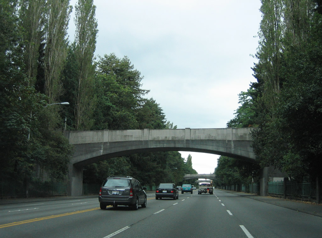
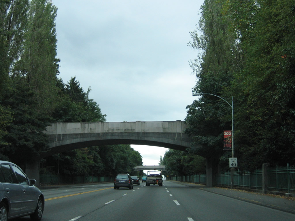
| SR 99 passes over N 46th Street at the grade separated intersection between the two boulevards. The overpass for Aurora Avenue dates to 1933. 08/29/06 |
|
| SR 99 continues south toward the Seattle Center. The barrier median blocks cross traffic and left turns to N 38th Street. 08/29/06 |
|
| A pedestrian bridge connects the disconnected sides of N 41st Street above Aurora Avenue. 08/29/06 |
|
| N 38th Street and SR 99 (Aurora Avenue) meet at a grade separated intersection near the Freemont neighborhood of the city and the crossing of the Lake Washington Ship Canal. 08/29/06 |
|
| South from 38th Street, SR 99 ascends onto the George Washington Memorial Bridge. 08/29/06 |
|
| SR 99 spans Lake Washington Ship Canal with six overall lanes. The steel arch bridge utilizes supporting members below the bridge deck that provide a clearance of 167 feet above the waterway. 2,945 feet in length, the span opened on George Washington's 200th birthday in 1932.2 08/29/06 |
|
| A RIRO intersection joins SR 99 just south of the George Washington Memorial Bridge with Queen Anne Drive west to the Queen Anne section of Seattle. 08/29/06 |
|
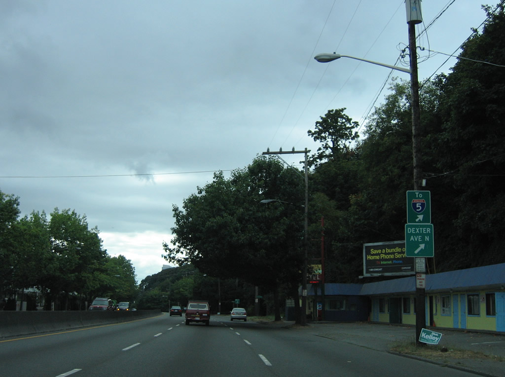
| The exit ramp to Dexter Avenue separates from SR 99 (Aurora Avenue) south next. Dexter Avenue parallels to the east while a hill rises some 50 feet to the street grid at Queen Anne to the west. 08/29/06 |
|
| Dexter Way N passes under Aurora Avenue to make the connection with Dexter Avenue N at Crockett Street. 08/29/06 |
|
| SR 99 south at the pedestrian overpass connecting the hill side with Galer Street. A road diet eliminated the outside lane along this stretch. 08/29/06 |
|
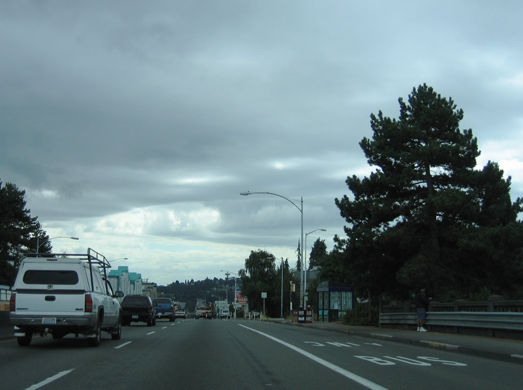
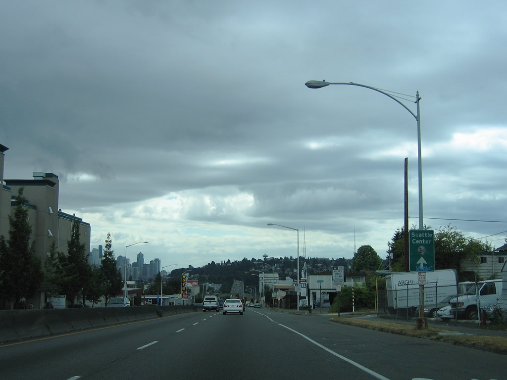
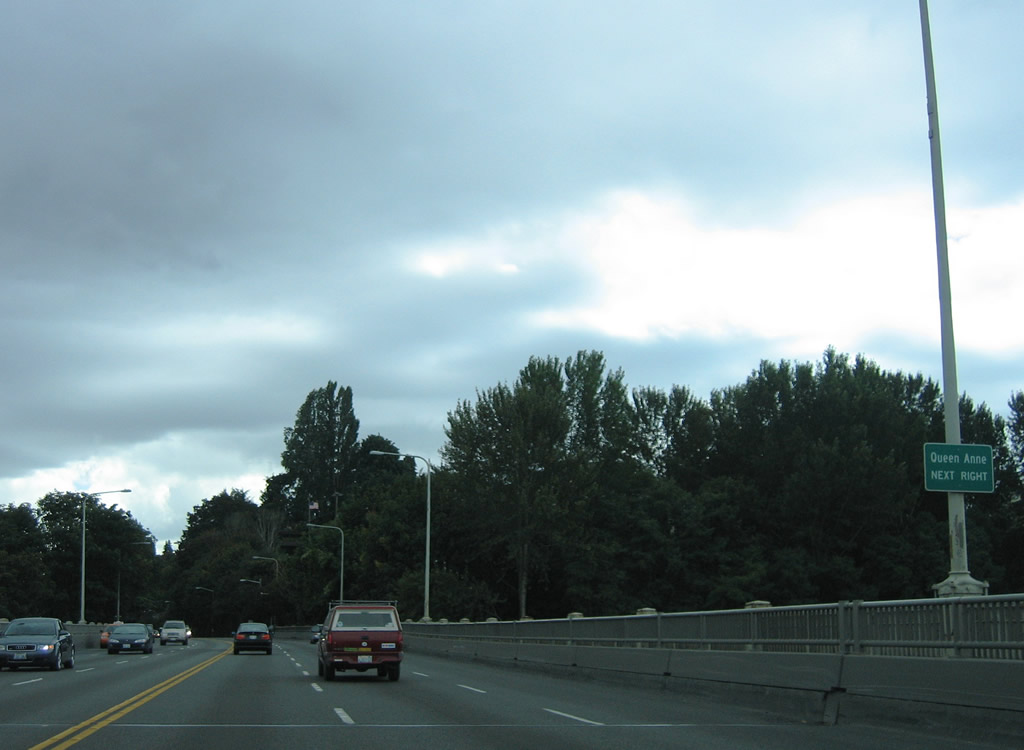
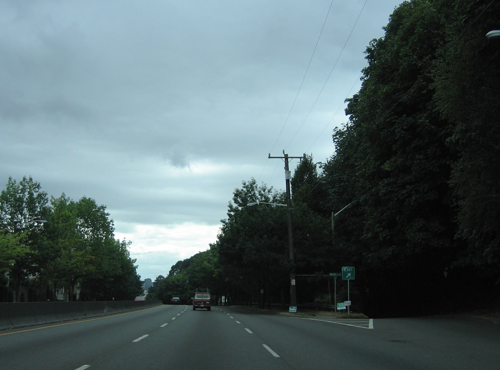
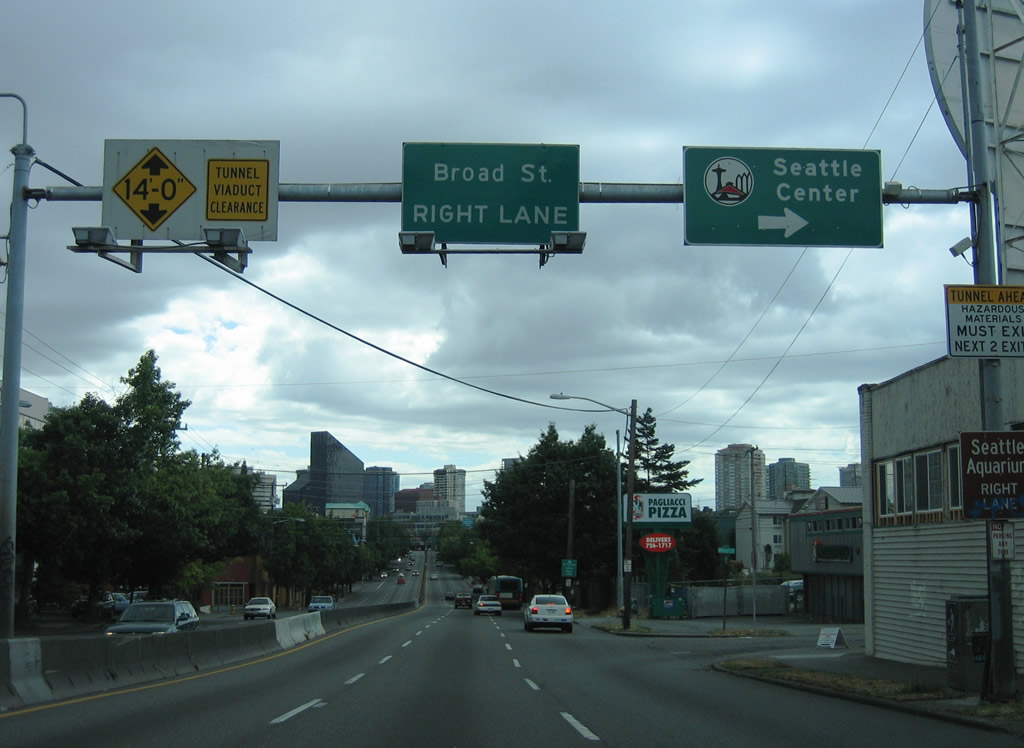
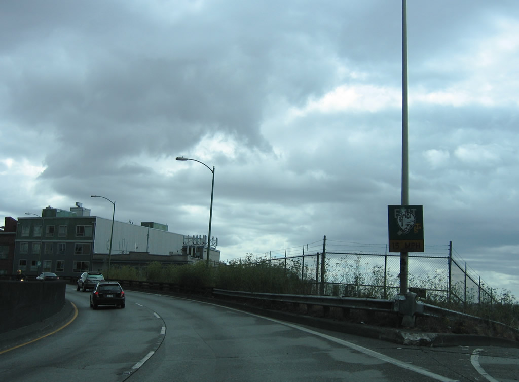
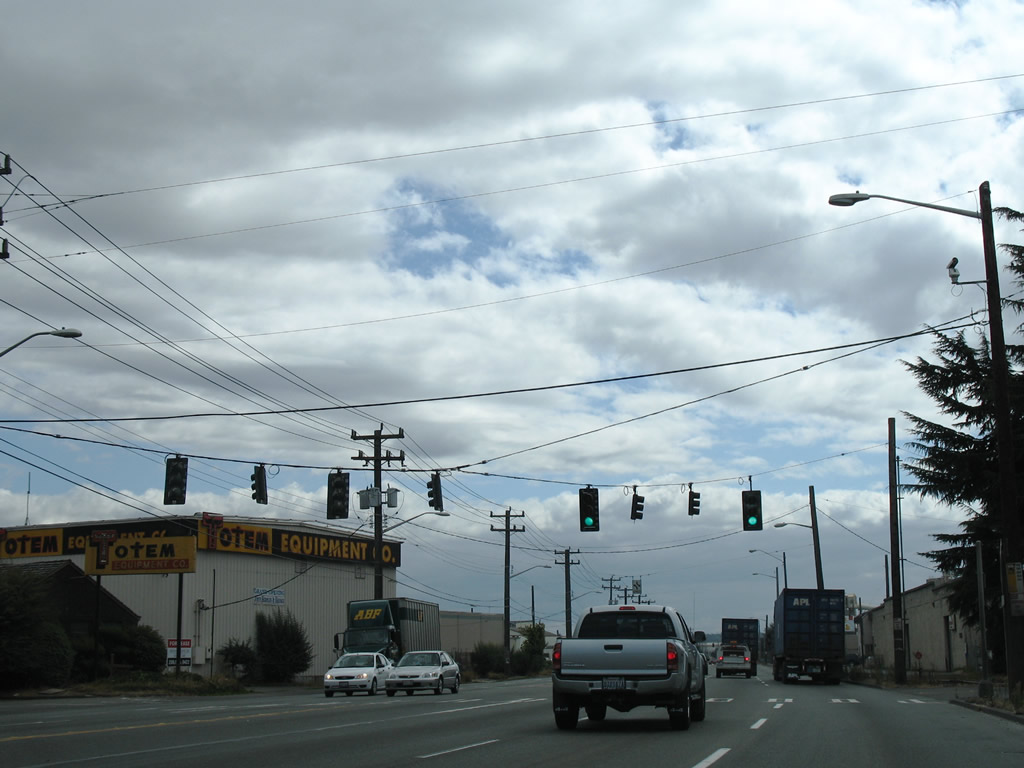
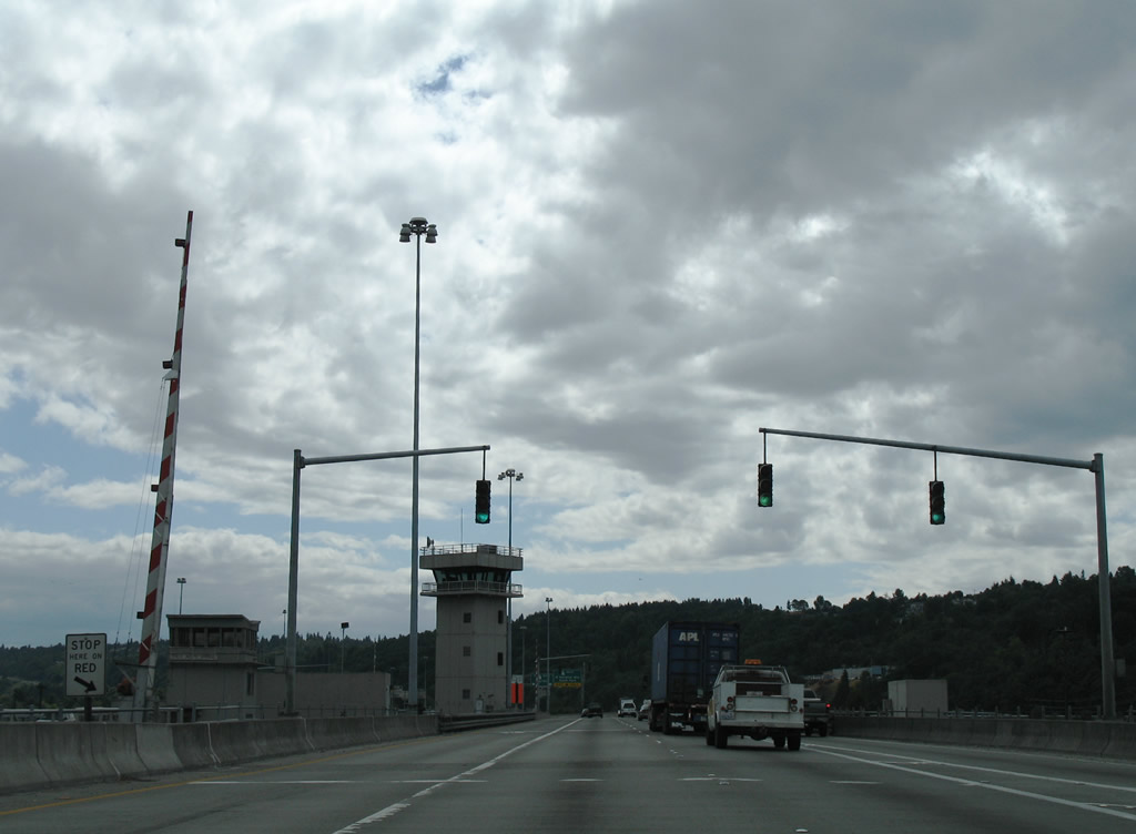
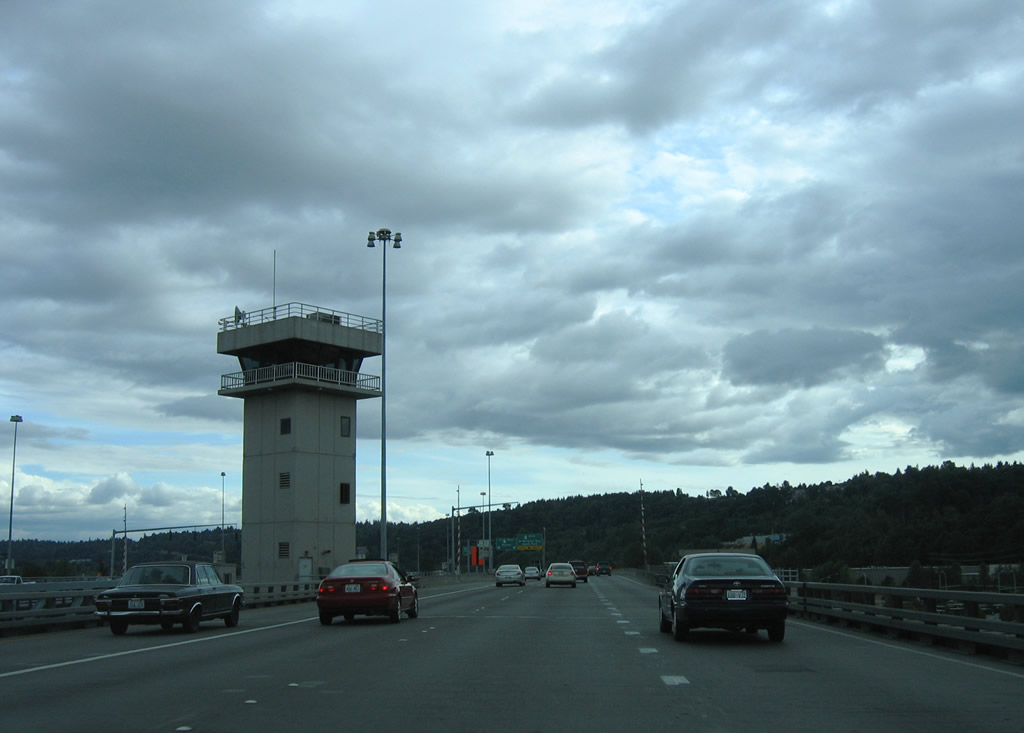
| Valley Street was the previous preferred route west from SR 99 (Aurora Avenue) to Seattle Center. This changed with the completion of the Mercer Corridor Project in 2015. Home to the Space Needle, Key Arena, Memorial Stadium, the Pacific Science Center and other attractions, Seattle Center opened in 1962 as part of the Century 21 Exposition.3 08/29/06 |
|
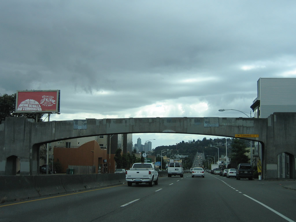
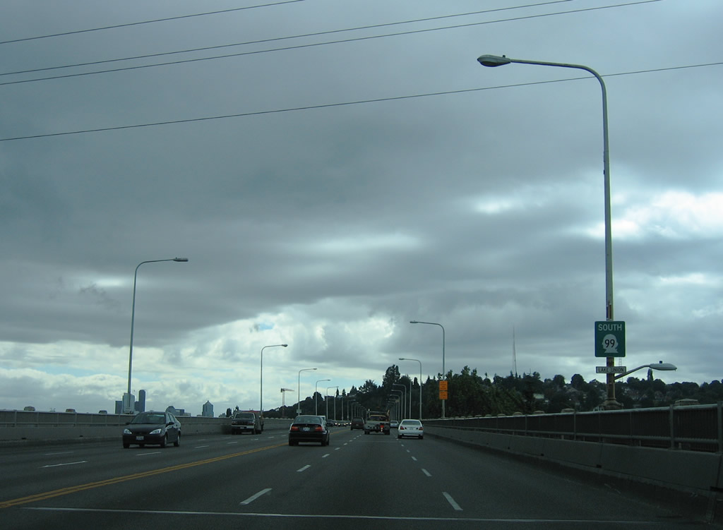
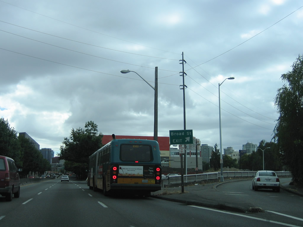
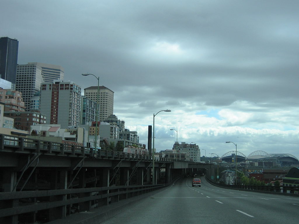
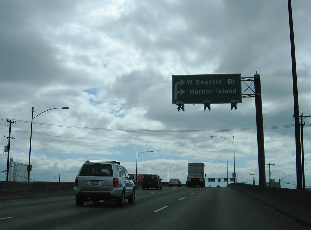
| The former grade separated intersection joining SR 99 (Aurora Avenue) with Broad Street. SR 99 spans Mercer Street here now. 08/29/06 |
|
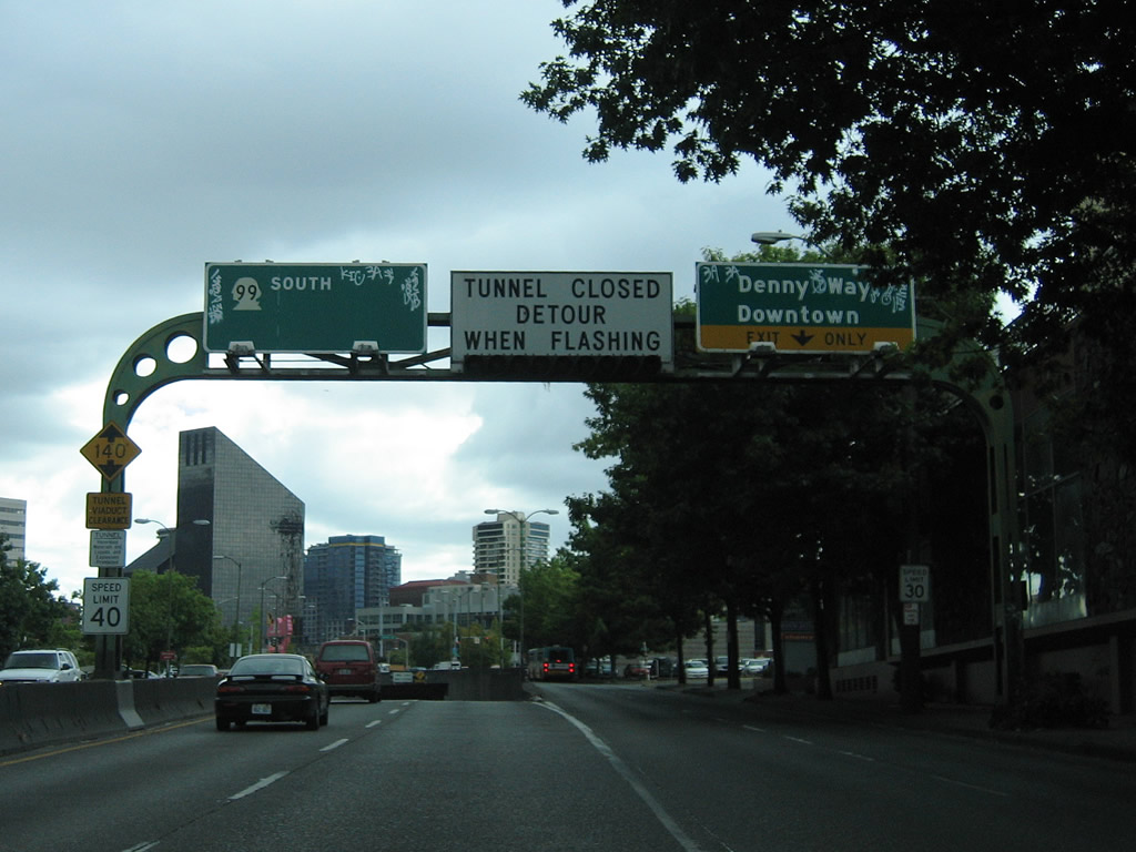
| A left exit separates from SR 99 (Aurora Avenue) south at Mercer Street for 7th Avenue N to Denny Way. This flyover ramp replaced this grade level ramp preceding the Battery Street Tunnel. Denny Way lines the north end of the Seattle city center from Belltown to Capitol Hill. 08/29/06 |
|
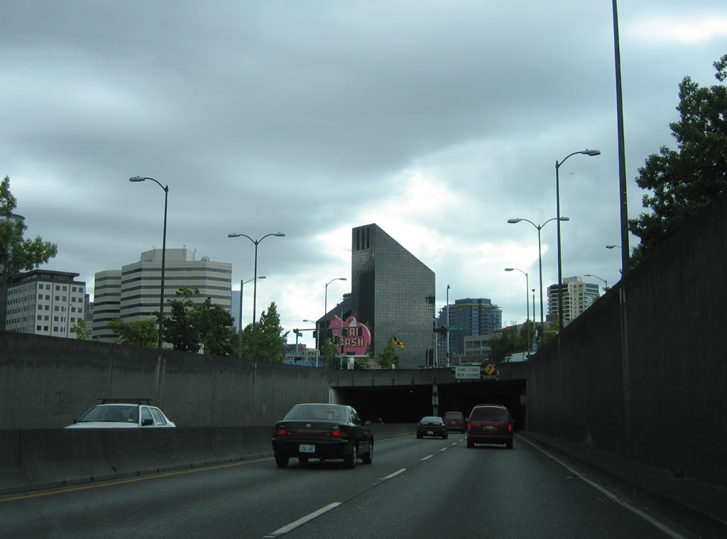
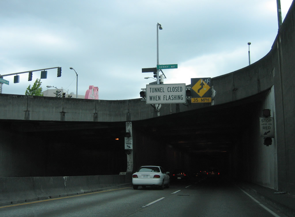
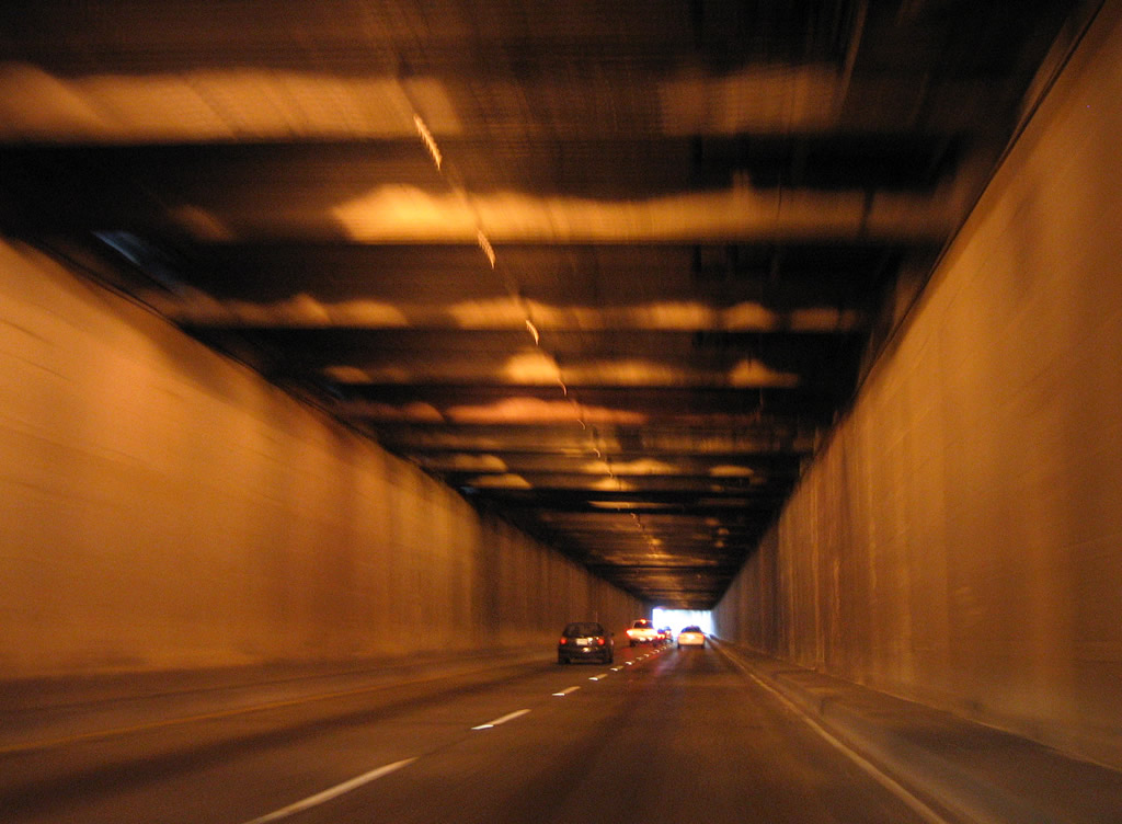
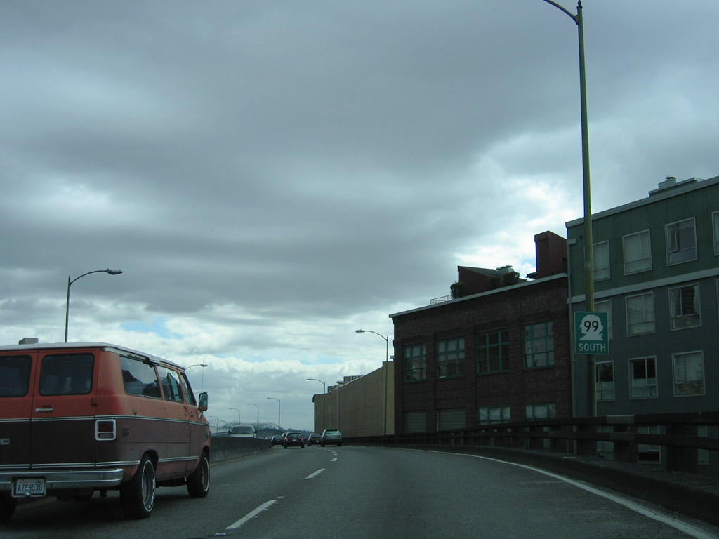
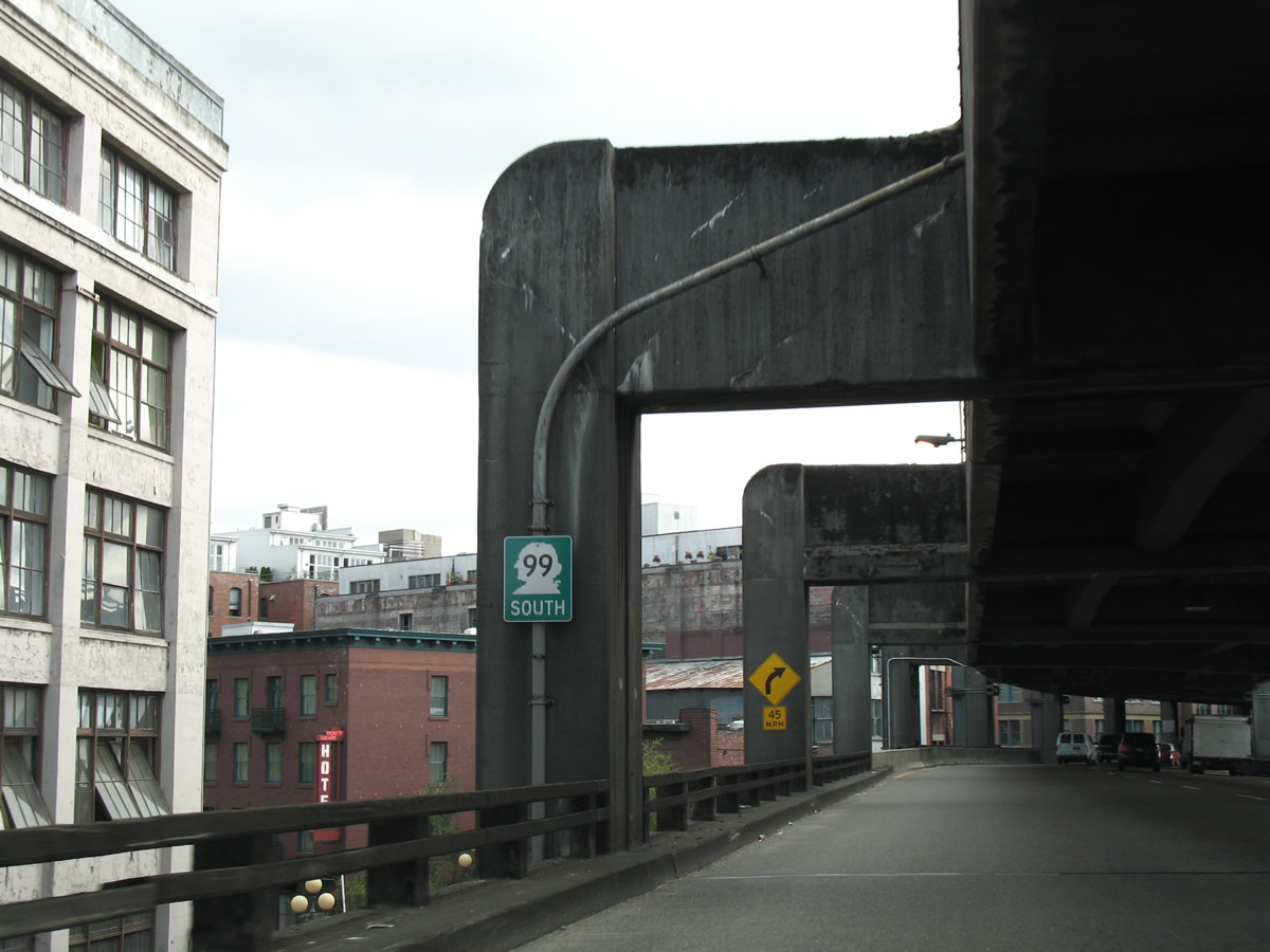
| SR 99 angles southwest through the Battery Street Tunnel from Aurora Avenue to the Alaskan Way Viaduct at Western Avenue. The 3,140 foot long tunnel opened to traffic in 1952.4 08/29/06 |
|
| During closures of the Battery Street Tunnel due to accidents and other incidents, traffic was diverted from SR 99 onto the ramps for Denny Way or Western Avenue.4 08/29/06 |
|
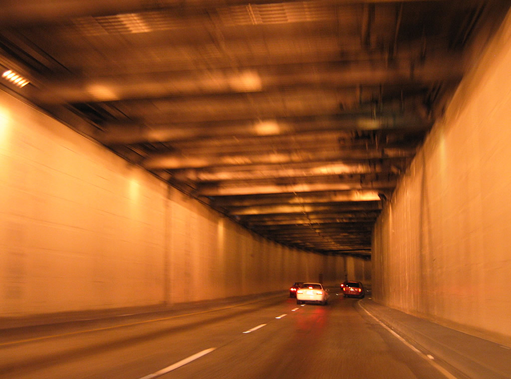
| Traveling through the Battery Street Tunnel on SR 99 south. 08/29/06 |
|
| Emerging from the tunnel, SR 99 curved to parallel Elliot Bay on the Alaskan Way Viaduct. An off-ramp connected SR 99 south with Battery Street at Western Avenue in the Belltown community. 08/29/06 |
|
| Reassurance shield assembly posted on the Alaskan Way Viaduct southbound over the intersection of Western Avenue and Bell Street. The viaduct derived its name from parallel Alaskan Way below. 08/29/06 |
|
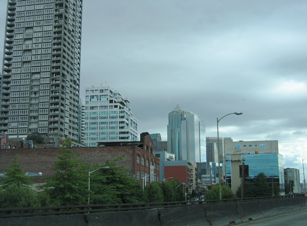
| Opened on April 5, 1953, the Alaskan Way Viaduct carried well over 100,000 vehicles per day.5 It was part of a corridor linking the industrial area of Riverside and Harbor Island with Belltown and Queen Anne outside the Seattle Central Business District. 08/29/06 |
|
| An entrance ramp joined SR 99 (Alaska Way Viaduct) south from Elliott Avenue and Belltown. 08/29/06 |
|
| Southbound SR 99 followed the lower level of the Alaskan Way Viaduct from Pike Street to S Massachusetts Street. 08/29/06 |
|
| Continuing south along the lower deck of the Alaskan Way Viaduct on SR 99. 08/29/06 |
|
| A wye interchange connected SR 99 with the parallel 1st Avenue S adjacent to Lumen Field (home of the Seattle Seahawks NFL franchise).
This ramp was altered in February 2011 to connect with a temporary at grade bypass to the east as demoltion work on the Alaskan Way Viaduct was underway to October 2011. 08/29/06 |
|
| Southbound on the Alaskan Way Viaduct at the entrance ramp from Columbia Street. 08/29/06 |
|
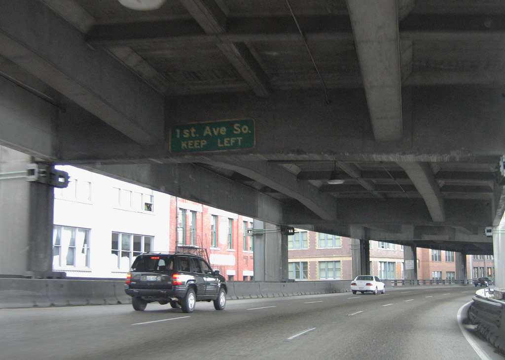
| SR 99 shifted southward alongside Alaskan Way at the exit for 1st Avenue S. 1st Avenue S links the Central Business District at Pioneer Square with the stadium for the Seattle Seahawks, ballpark for the Seattle Mariners, and industrial areas southward to Georgetown. 08/29/06 |
|
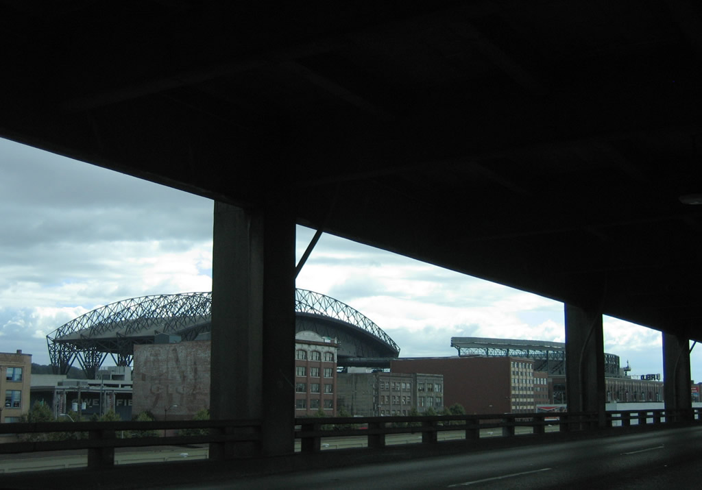
| Looking east at the Lumen Field and T-Mobile Park from the former SR 99 viaduct. 08/29/06 |
|
| Ramp stubs on both decks on the Alaskan Way Viaduct alluded to the unconstructed connection with the freeway (I-90) along what was U.S. 10 from SR 99. Interstate 90 ends at SR 519 (4th Avenue S) east of the stadiums. 08/29/06 |
|
| SR 99 southbound returned to grade on the southwest shift to parallel a set of railroad lines and Alaskan Way / E Marginal Way S. 08/29/06 |
|
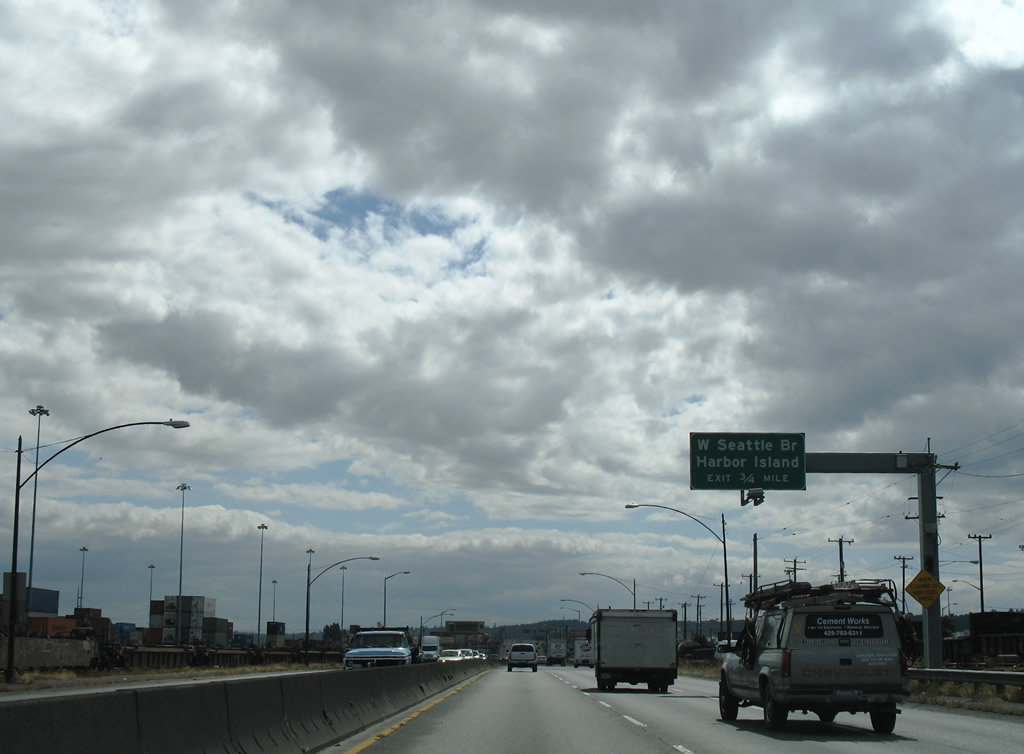
| Three quarters of a mile north of the exchange with the West Seattle Bridge. The West Seattle Bridge is the name for the entire elevated freeway leading west from Interstate 5 at Spokane Street to Youngstown and West Seattle. 08/29/06 |
|
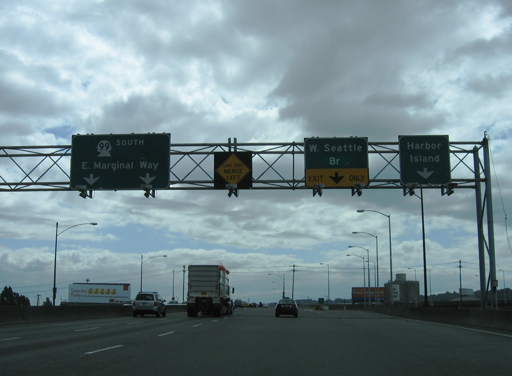
| Ramps departs in rapid succession from SR 99 south to the West Seattle Bridge and Spokane Street west onto Harbor Island below. 08/29/06 |
|
| Ramps to Spokane Street and the West Seattle Bridge separate from SR 99 ahead of E Marginal Way south. Constructed in the early 1980s, the West Seattle Bridge serves industrial areas of Riverside, Harbor Island and Georgetown between Interstate 5 and the West Seattle. 08/29/06 |
|
| SR 99 overtakes E Marginal Way from the freeway end proceeds south to a signalized intersection with Idaho Street. Idaho Street and adjacent Nevada Street spur westward to warehouses and light industrial businesses. 08/29/06 |
|
| Diagonal Avenue South meets SR 99 (East Marginal Way) at the next traffic light. Diagonal Avenue becomes Oregon Street and Denver Avenue to the east, serving a large rail yard connected with Union Pacific and BNSF. 08/30/06 |
|
| Hudson Street intersects SR 99 where E Marginal Way turns southeastward. SR 99 parallels the Duwamish Waterway to 1st Avenue S. 08/29/06 |
|
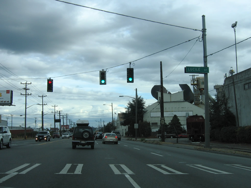
| Lucile Street heads east from SR 99 to Airport Way through the heart of Georgetown. 08/30/06 |
|
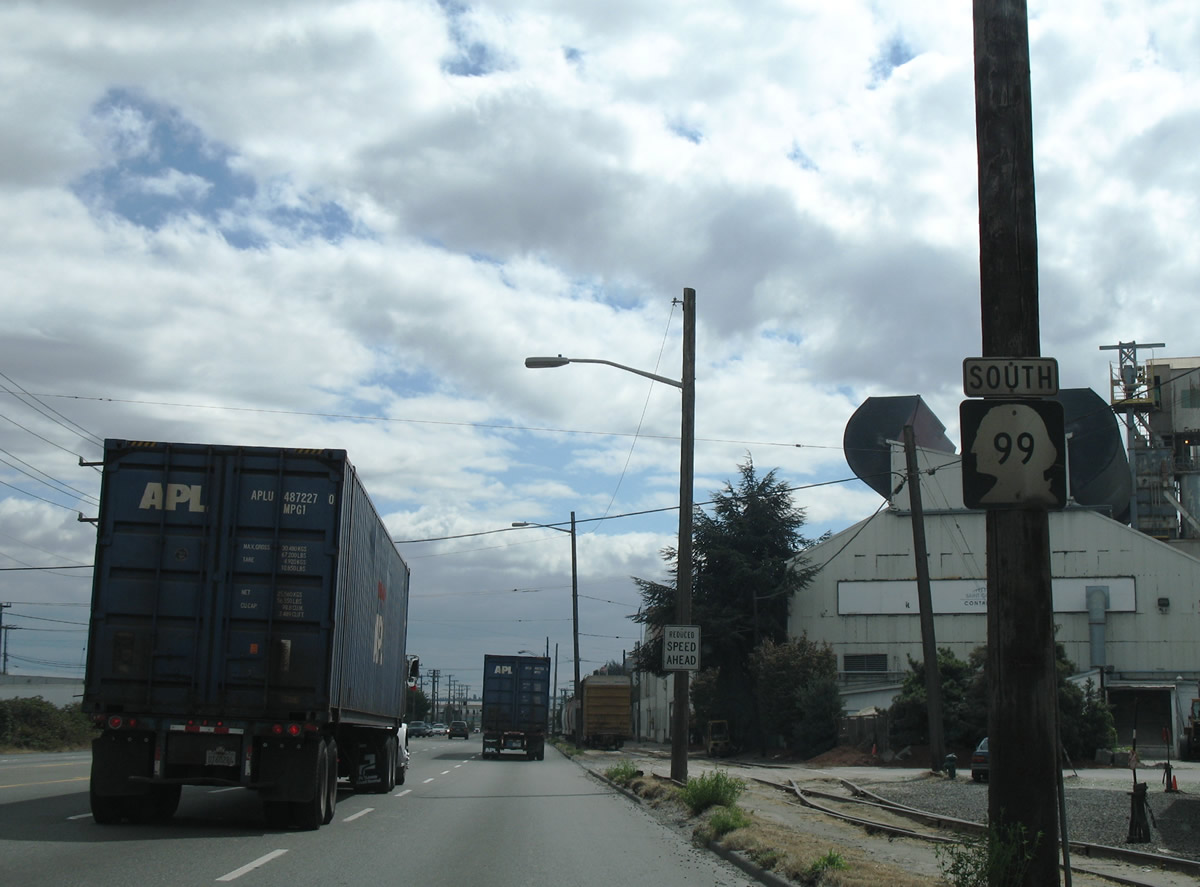
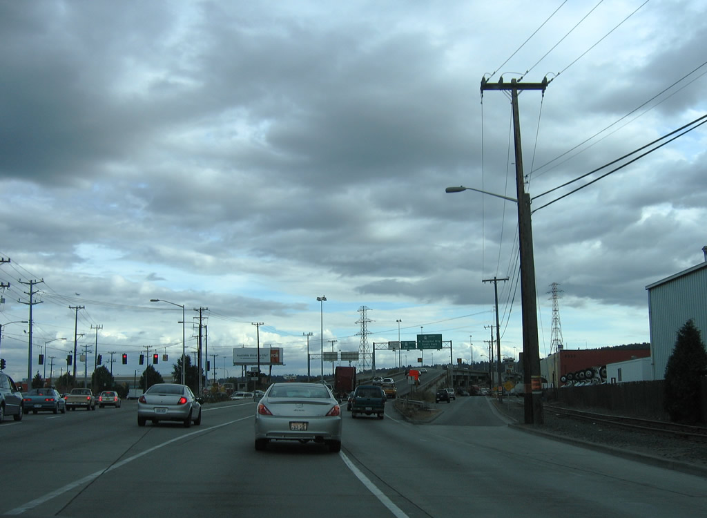
| An older style reassurance shield posted for SR 99 south after Lucile Street. E Marginal Way continues with six general purpose with a center turn lane. 08/29/06 |
|
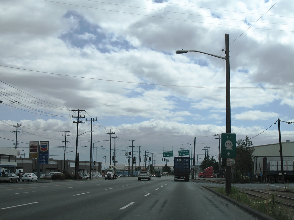
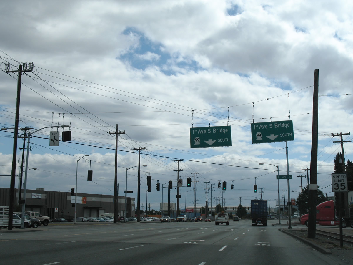
| SR 99 (E Marginal Way) advances south to intersect 1st Avenue S and the 1st Avenue S Bridge over the Duwamish Waterway. SR 509 extends south from the bridge 35.17 miles to Burien, Des Moines, and Tacoma. 08/29/06 |
|
| SR 99 crosses the 1st Avenue S Bridge, leaving E Marginal Way (original U.S. 99) at Georgetown for W Marginal Way through South Park. 08/29/06 |
|
| E Marginal Way angles southeast from 1st Avenue S to King County International Airport (BFI) and Duwamish. 08/30/06 |
|
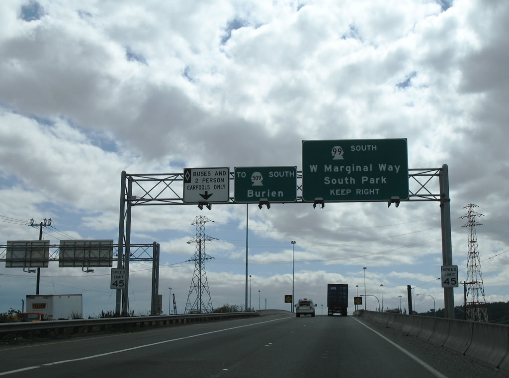
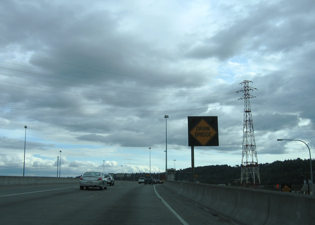
| Crossing Duwamish Waterway, SR 99 upgrades to the freeway leading onto SR 509 south to Burien, Five Corners and Sea-Tac. 08/29/06 |
|
| The Duwamish Waterway bridge consists of two double-leaf bascule spans. Built in 1956, the SR 99 bridges were refurbished in 1998. 08/30/06, 08/29/06 |
|
| A folded diamond interchange joins SR 99 on the 1st Avenue S Bridge with W Marginal Way S and Highland Park Way S. 08/30/06 |
|
| A loop ramp takes SR 99 onto 2nd Avenue SW north to West Marginal Way S. SR 509 commences along the freeway south to the city of Burien. 08/29/06 |
|
| SR 99 joins 2nd Avenue SW north to Highland Park Way, a four lane boulevard leading to West Seattle. 08/30/06 |
|
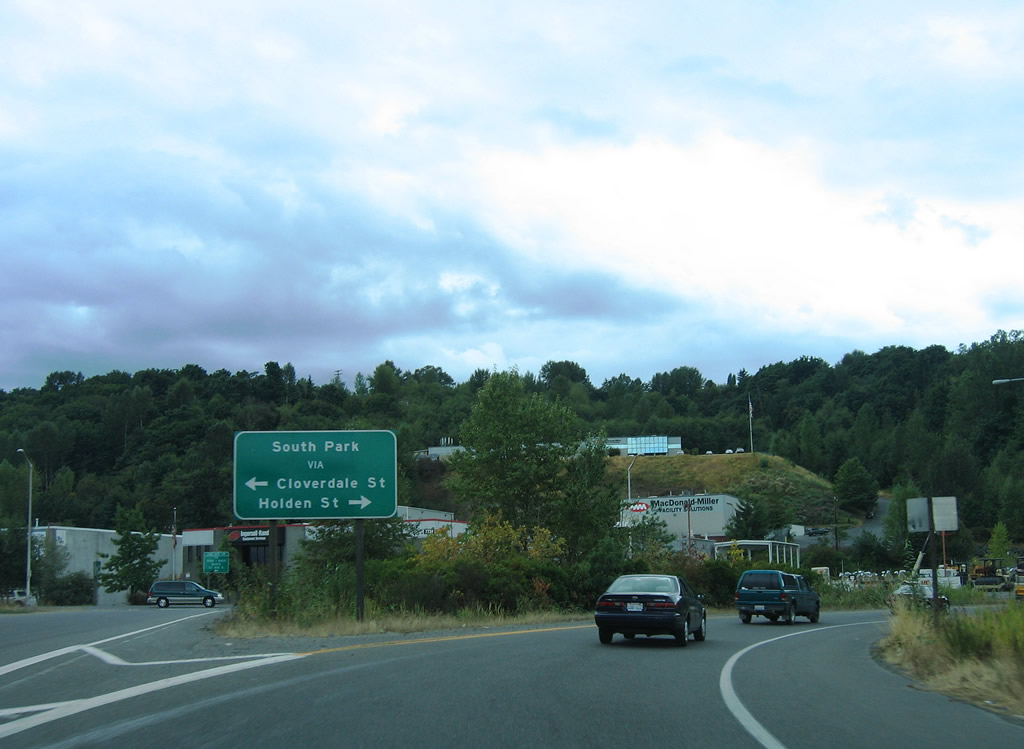
| 2nd Avenue SW extends south from SR 99 onto 1st Avenue SW to Cloverdale Street. 08/30/06 |
|
| A separate section of W Marginal Way provides a cut off from SR 99 (2nd Avenue SW) to Highland Park Way for West Seattle and the Highland Park section of the city. 08/30/06 |
|
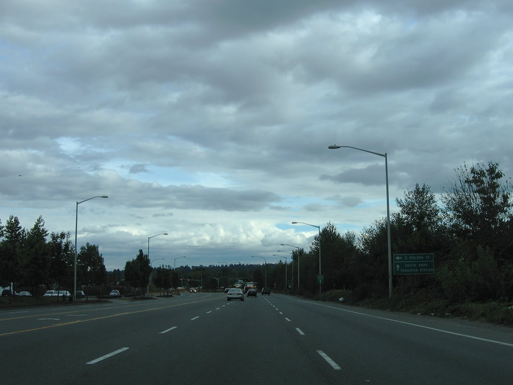
| Angling southeast along W Marginal Way, SR 99 passes under the 1st Avenue S Bridge ahead of Holden Street east and an entrance ramp for SR 99 north. 08/30/06 |
|
| Holden Street west leads directly onto SR 99 (1st Avenue S Bridge) north to the West Seattle Bridge / Interstate 5. 08/30/06 |
|
| SR 99 upgrades into a freeway along W Marginal Way beyond the intersection with Holden Street at South Park. 08/30/06 |
|
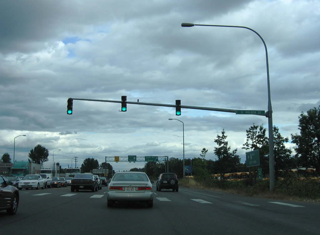
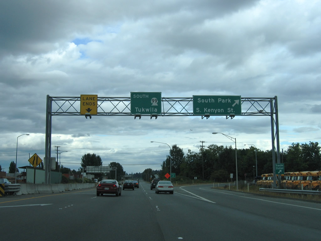
| Just south of Holden Street is the exit joining SR 99 with Kenyon Street and 5th Avenue S. SR 99 leaves industrial Georgetown for residential South Park over the next mile. 08/30/06 |
|
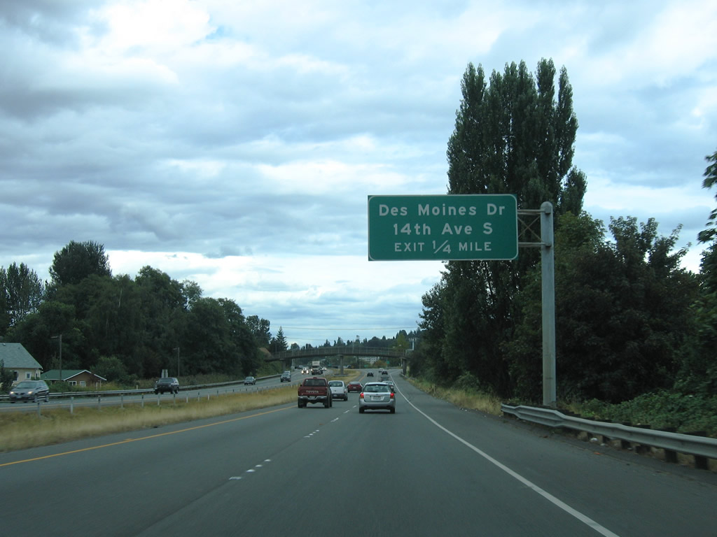
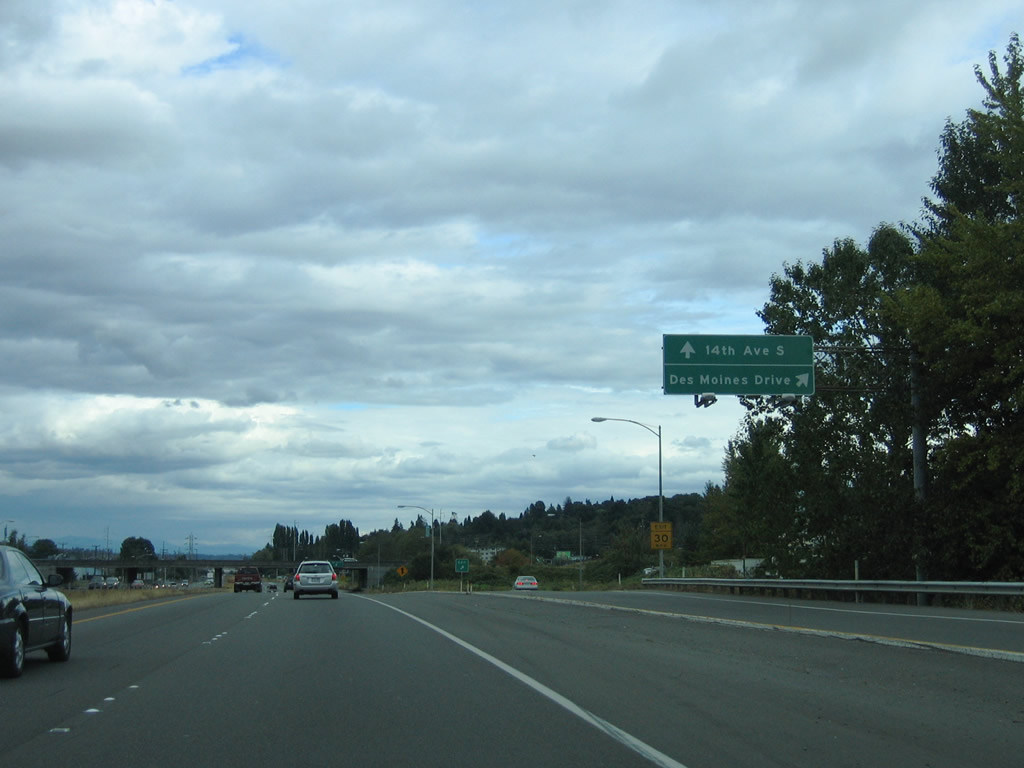
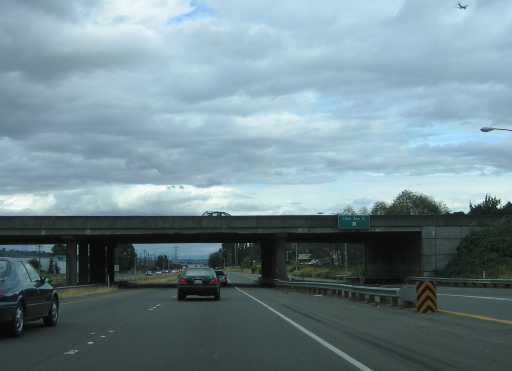
| A cloverleaf interchange connects SR 99 with Des Moines Memorial Drive south and 14th Avenue S north beyond the pedestrian bridge at Henderson Street. 08/30/06 |
|
| A collector distributor roadway separates from SR 99 south for Des Moines Memorial Drive south to Glendale and Boulevard Park in eastern Burien. 08/30/06 |
|
| 14th Avenue S north enters Seattle at South Park. 08/30/06 |
|
| SR 99 runs alongside the Duwamish River ahead of the northbound RIRO ramps with S 102nd Street. 08/30/06 |
|
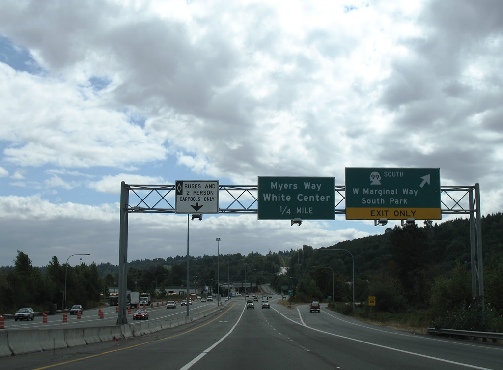
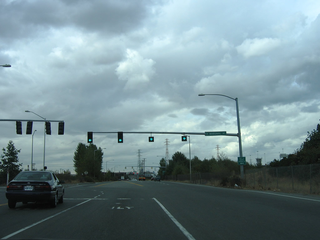
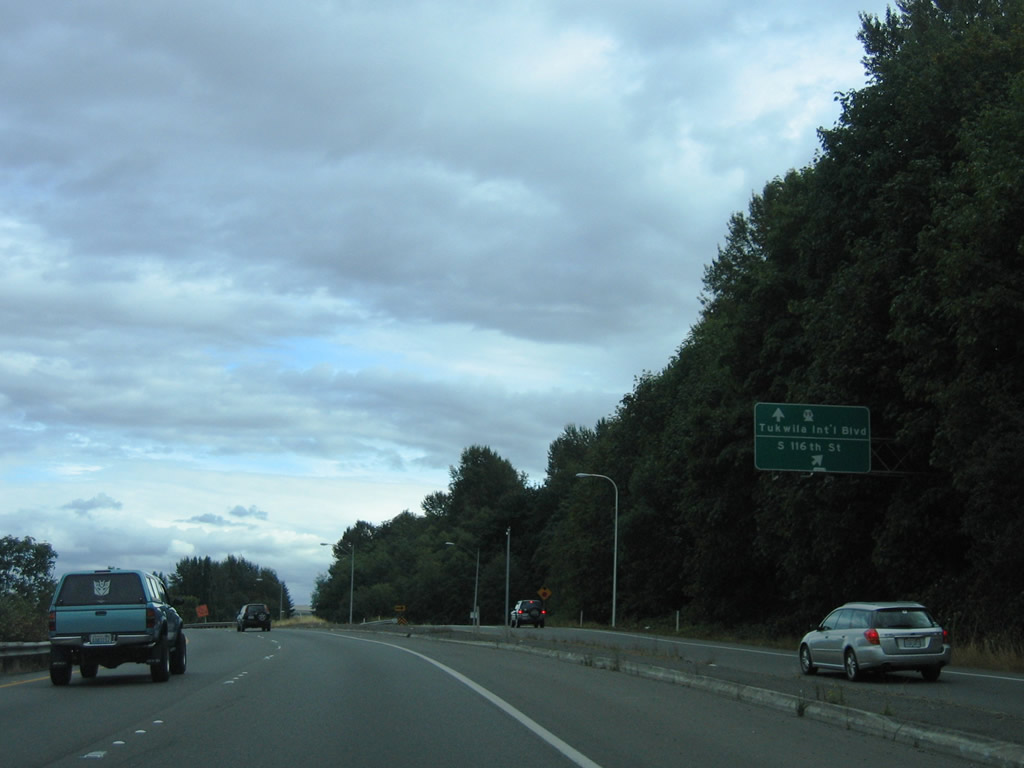
| SR 99 transitions into SR 599 where the state route formerly departed W Marginal Way S for Tukwila International Boulevard (Pacific Highway S). The section of SR 99 between SR 599 and SR 519 at Sea-Tac was removed from the system in 2004.4 08/30/06 |
|
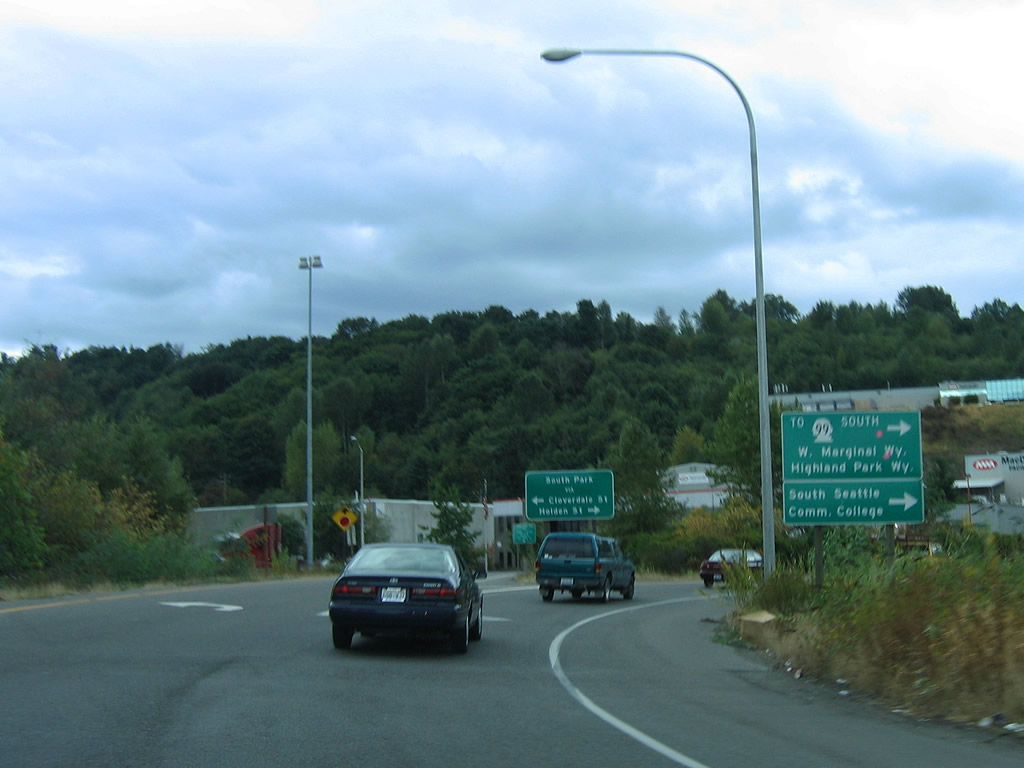
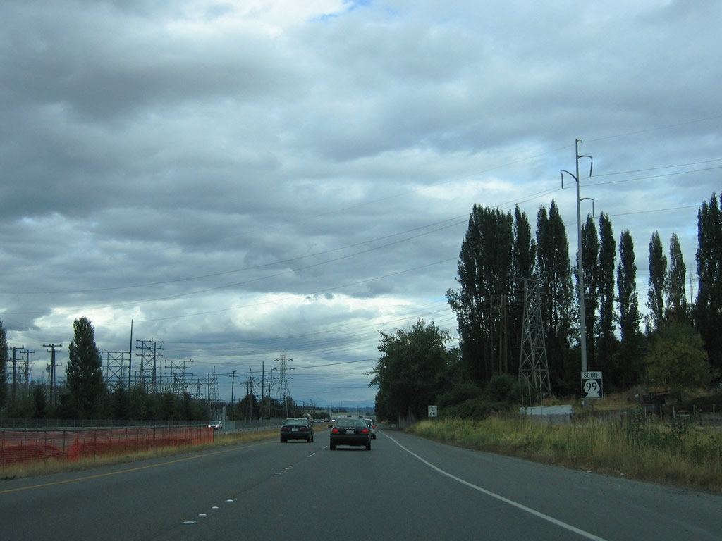
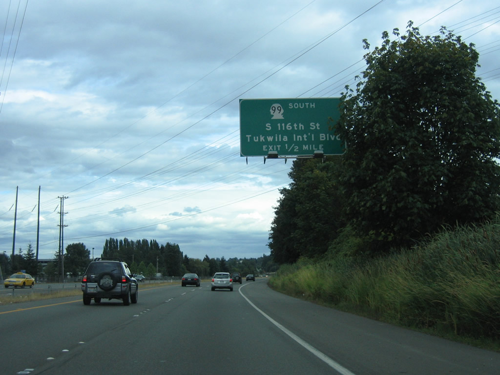
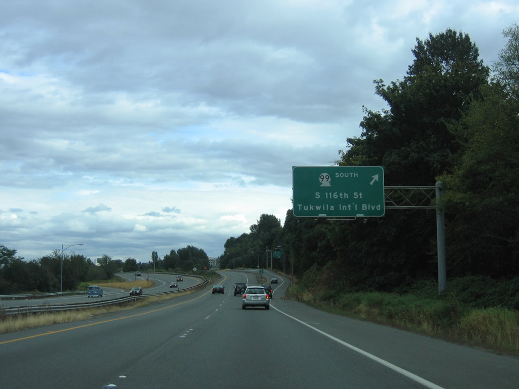
| S 116th Way ties into the exchange joining SR 99/599 and Pacific Highway from the Southern Heights area of east Burien. Tukwilla International Boulevard runs southward between Riverton Heights in Burien and Foster in Tukwila 08/30/06 |
|
| All traffic bound for S 116th Way west and Tukwila International Boulevard (former SR 99) departs the freeway in unison. The freeway extends 1.75 miles southeast along SR 599 to Interstate 5 at Exit 156. 08/30/06 |
Photo Credits:08/29/06, 08/30/06 by AARoads
Connect with:
State Route 519
State Route 525
Page Updated 06-13-2013.


 South
South