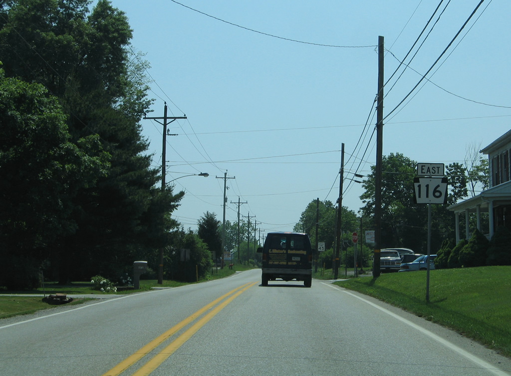
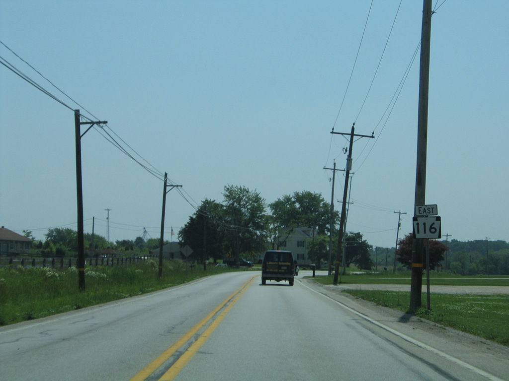
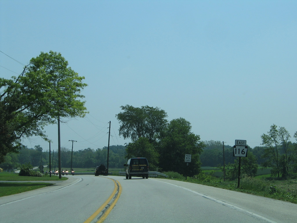
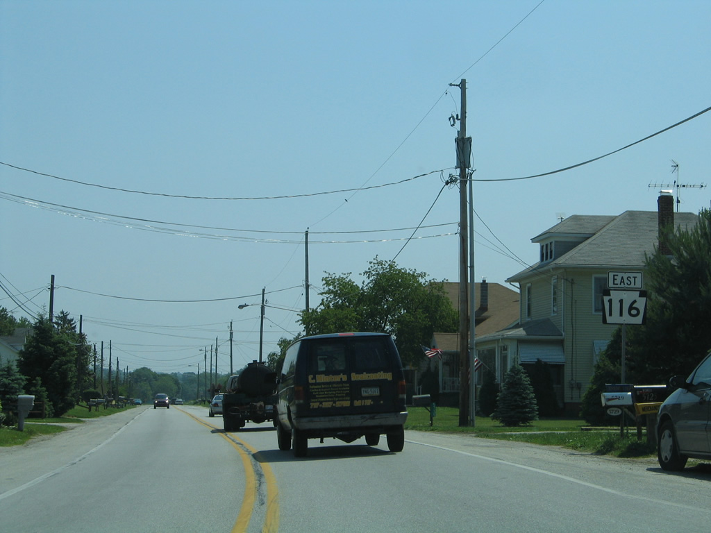
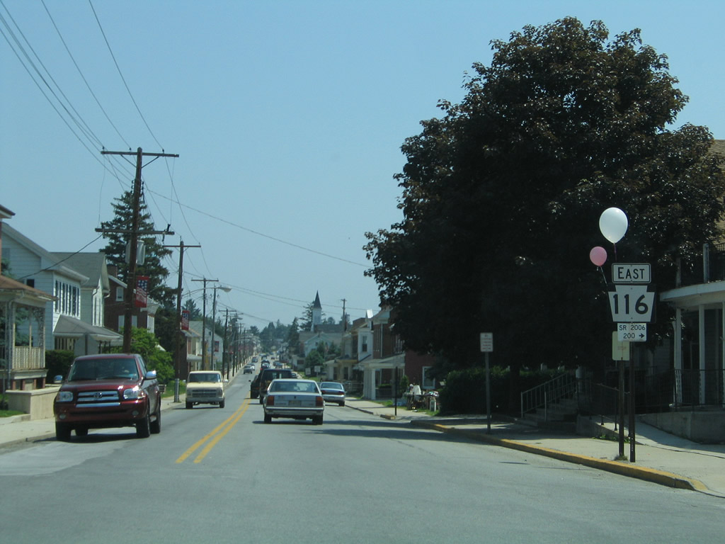
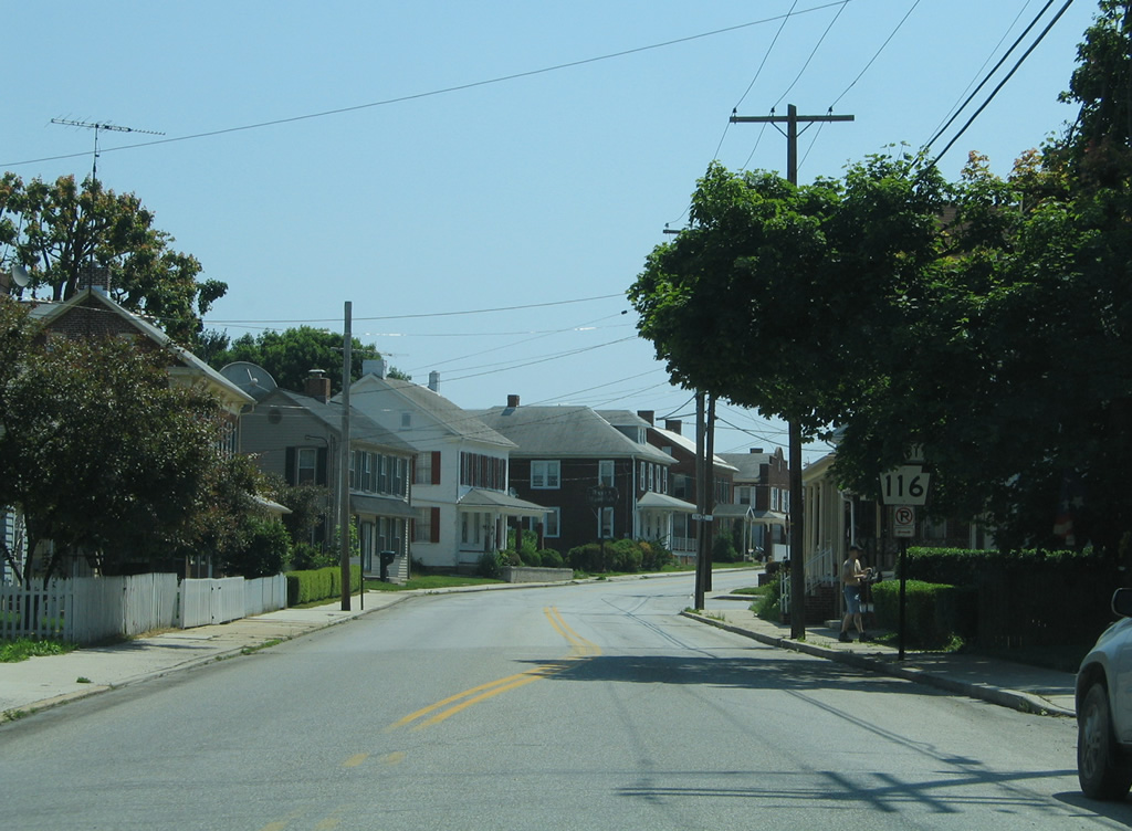
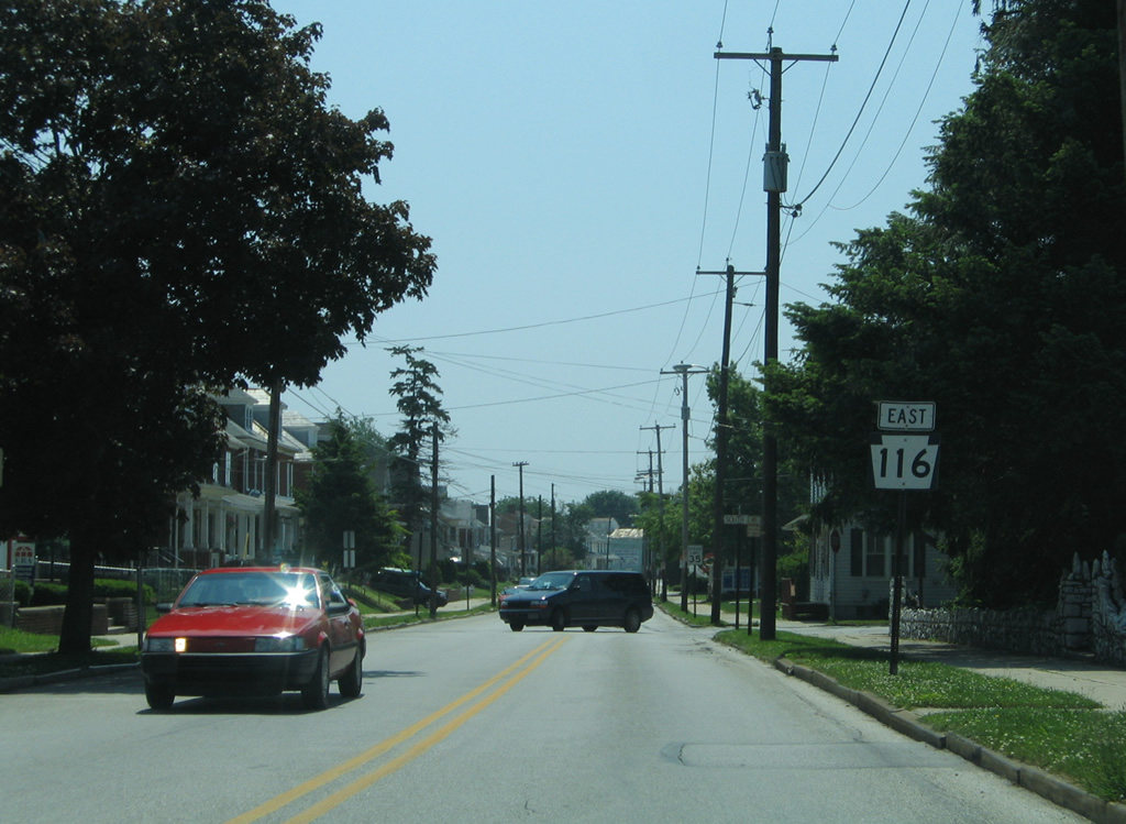
PA 116 follows a 40 mile route from PA 16 at Carroll Valley in southwest Adams County to U.S. 30, west of York. The state route joins the borough of Hanover with Gettysburg to the west and York to the northeast.
|
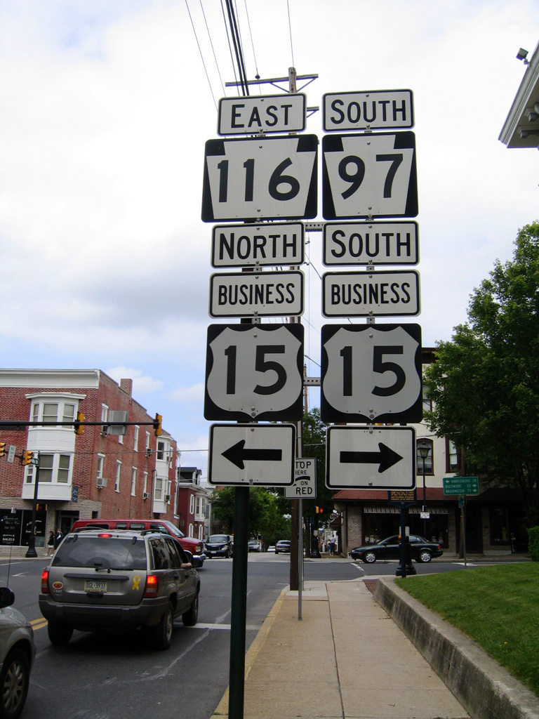
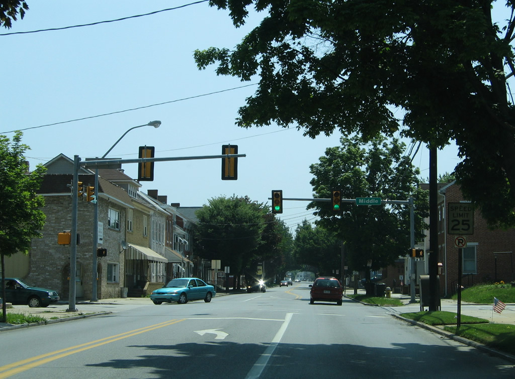
| PA 116 follows Middle Street east into Downtown Gettysburg, where it turns northward alongside U.S. 15 Business (Baltimore Street) one block to U.S. 30 at Lincoln Square. The connection is unmarked now, as this assembly was removed when the sidewalk was rebuilt with bricks after 2008. 06/04/05 |
|
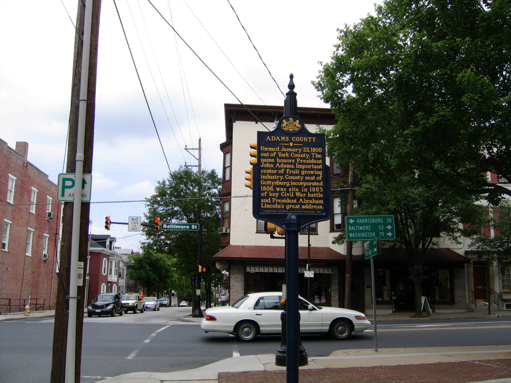
| Incorporated in 1806, Gettysburg is the seat of Adams County. Formed out of York County on January 22, 1800, it is named after President John Adams. 06/04/05 |
|
| Distance signs for both U.S. 15 Business and PA 116 at Baltimore and Middle Streets were removed by 2015. The distances were carried over from previous signage posted when U.S. 15 still ran through Gettysburg and before U.S. 140 was decommissioned southeast to Baltimore in 1977. 06/04/05 |
|
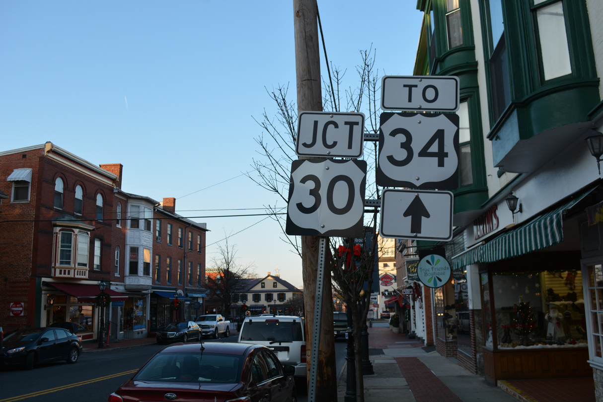
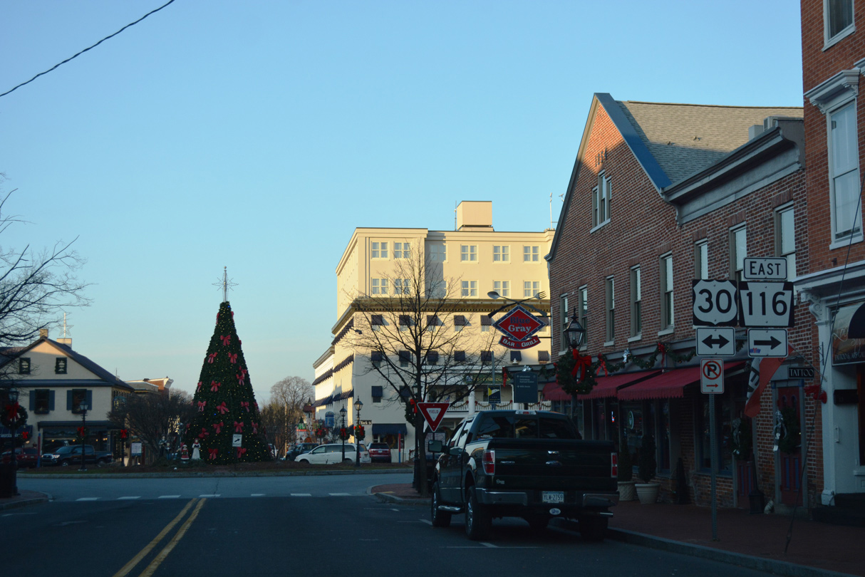
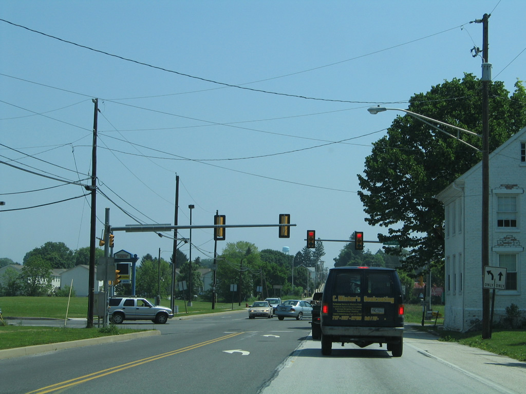
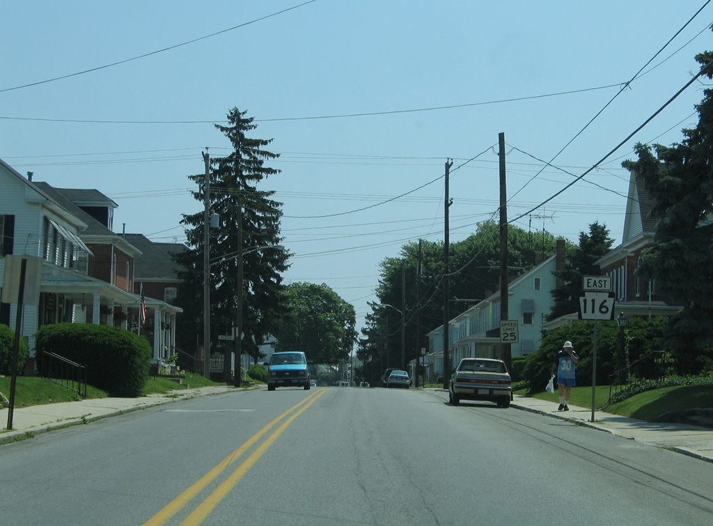
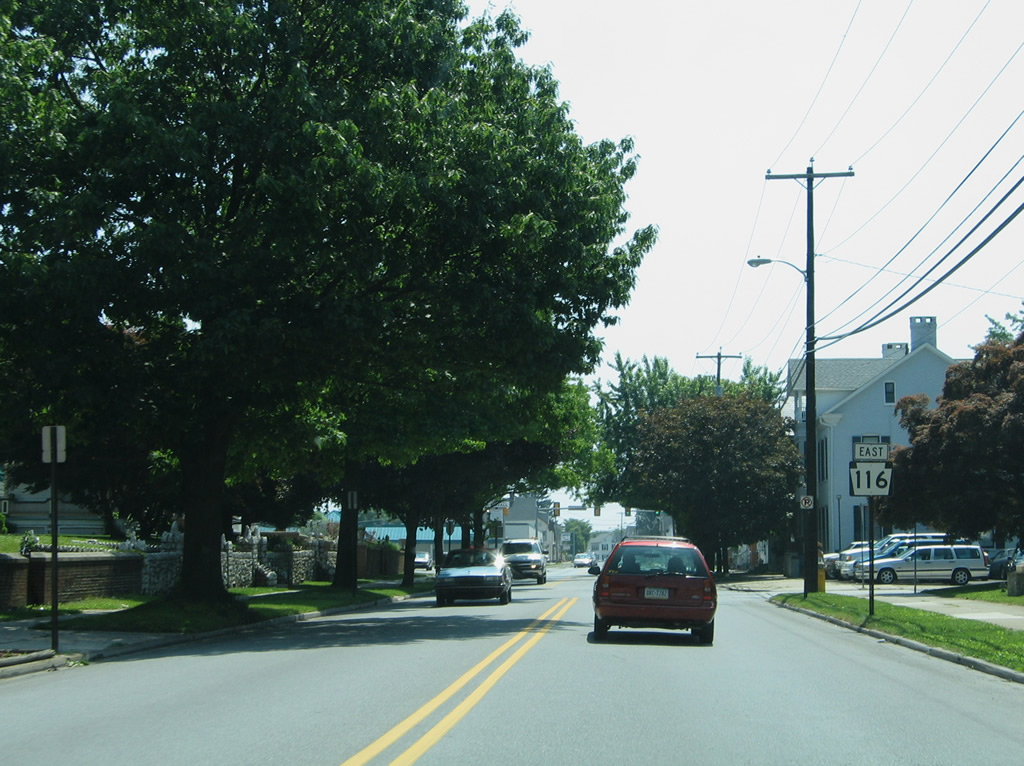
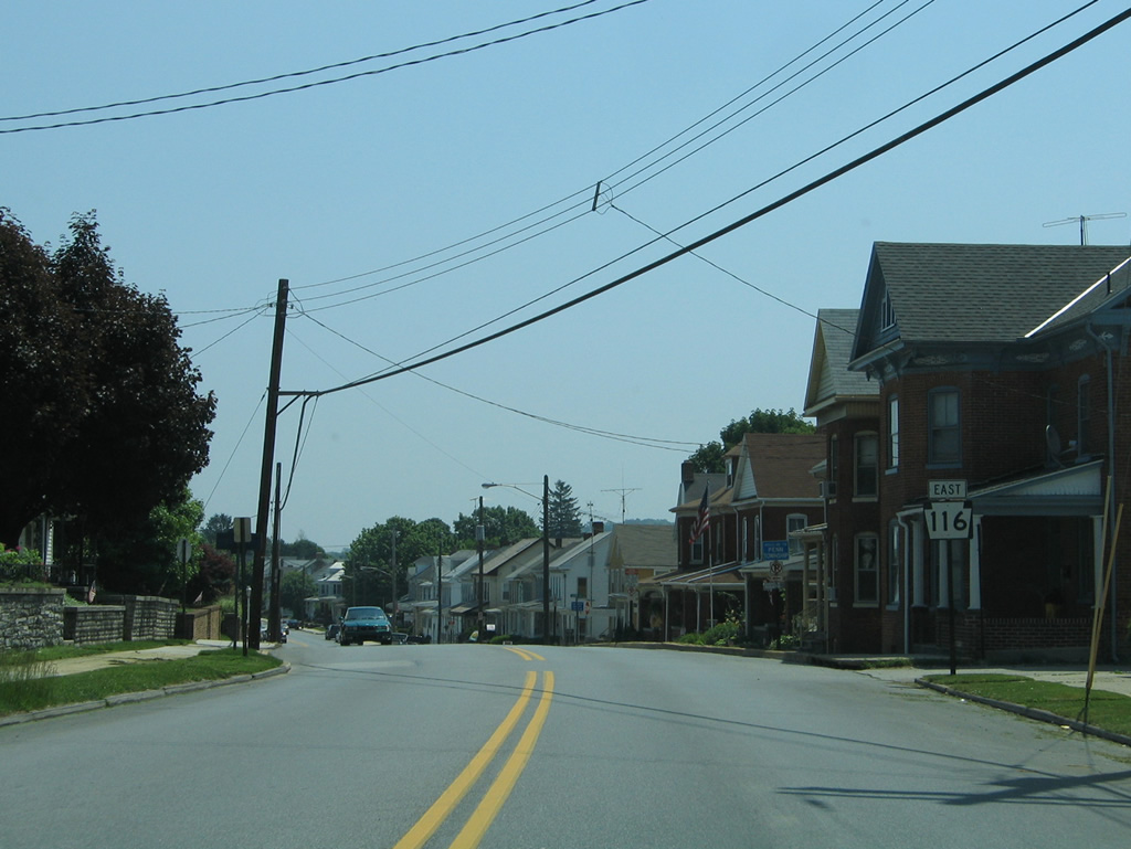
| PA 116 combines with U.S. 30 (York Street) east for two blocks from U.S. 15 Business (Baltimore Street) to Hanover Street. 12/16/18 |
|
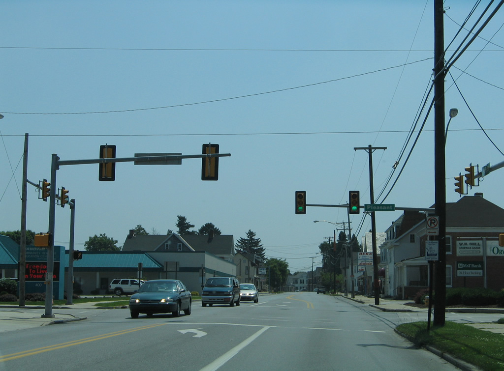
| U.S. 30 follows Chambersburg Street west from U.S. 15 Business/PA 116 (Baltimore Street) toward Gettysburg Regional Airport (GTY). 12/16/18 |
|
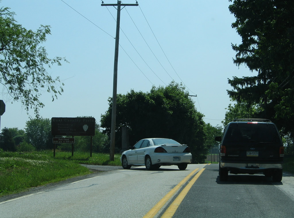
| Calvary Avenue loops from PA 116 (Hanover Road) to Low Dutch Road through the East Cavalry Field area of Gettysburg National Park.
This guide sign was removed since this photo was taken. 06/05/05 |
|
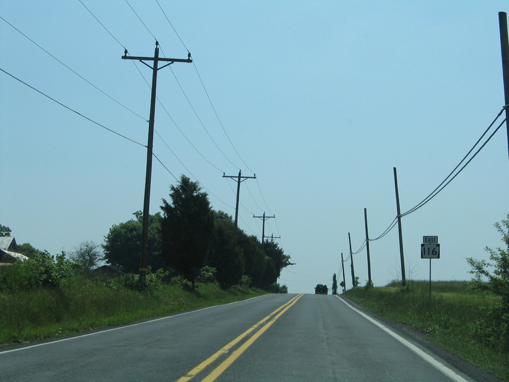
| Low Dutch Road heads north from PA 97 to U.S. 30 (Lincoln Highway) at Guldens ahead of this reassurance marker. 06/05/05 |
|
| PA 116 (Hanover Street) enters the borough of Bonneauville ahead of this shield posted after Cedar Street. 06/05/05 |
|
| Pin Oak Drive ties into PA 116 (Hanover Street) from Beck Road outside Bonneauville ahead the next eastbound shield. 06/05/05 |
|
| Honda Road crosses paths with PA 116 (Hanover Road) northeast of Whitehall and southwest of Centennial. 06/05/05 |
|
| Approaching the South Branch of Conewago Creek after PA 116 intersects Littlestown Road south to Littlestown and Bender Road north. 06/05/05 |
|
| Entering Brushtown, PA 116 (Hanover Road) intersects Sunday Drive north and Racehorse Road south. A number of suburban style subdivisions lie nearby, extending the growth of both Hanover and the borough of McSherrystown. 06/05/05 |
|
| Centennial Road leads east from U.S. 30 at Guldens to PA 116 in McSherrystown. 06/05/05 |
|
| East from Centennial Road, PA 116 (Hanover Road) heads across Plum Creek into the street grid of McSherrystown. 06/05/05 |
|
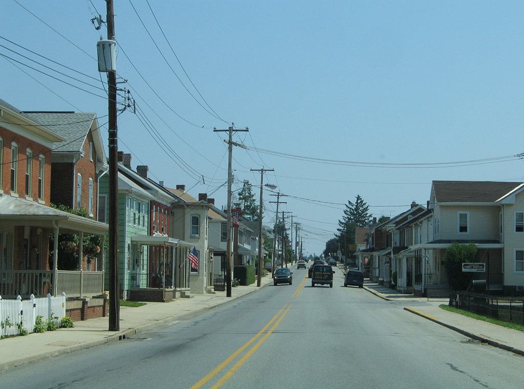
| Older style homes line both sides of PA 116 as the route follows Main Street through McSherrystown. 06/05/05 |
|
| PA 116 reassurance marker posted along Main Street at 2nd Street in McSherrystown. 2nd Street becomes Church Street north en route to Edgegrove. 06/05/05 |
|
| Mt. Pleasant Road heads north from Mt. Pleasant to become 3rd Street through McSherrystown ahead of this shield. 06/05/05 |
|
| Continuing east along PA 116 (Main Street) toward 4th Street. 06/05/05 |
|
| PA 116 turns from Main Street onto Oxford Avenue at the forthcoming traffic light. 06/05/05 |
|
| Elm Avenue stems east from Main Street to Midway while Oxford Avenue north leads to Edgegrove. 06/05/05 |
|
| Oxford Avenue carries PA 116 southeast to 3rd Street east. 06/05/05 |
|
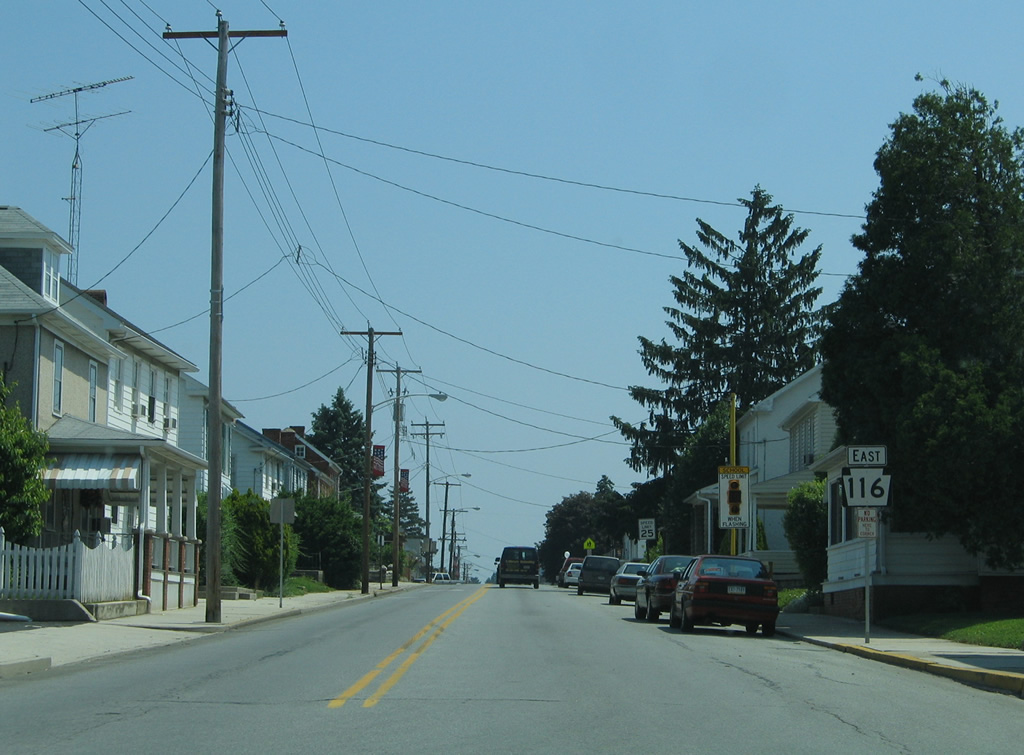
| PA 116 (3rd Street) enters both York County and the borough of Hanover between Loot Avenue and Filbert Street. This reassurance marker stands just east of the county line. 06/05/05 |
|
| PA 116 branches southward from 3rd Street onto High Street just four blocks into Hanover. 06/05/05 |
|
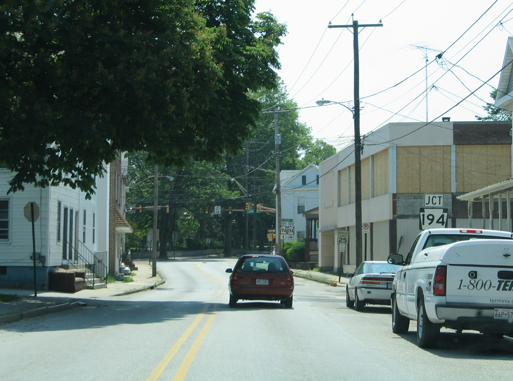
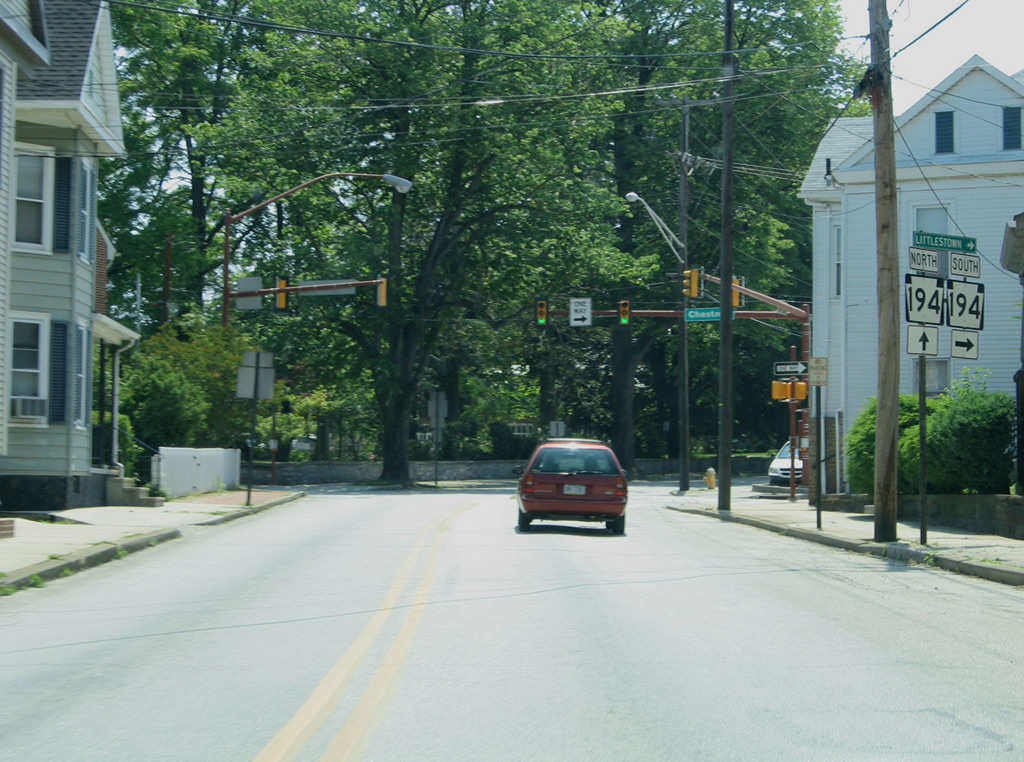
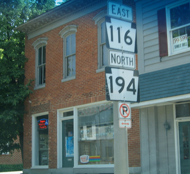
| Approaching PA 194, which follows a one way couplet through Downtown Hanover. PA 194 joins Hanover with Mount Pleasant, Littlestown and Taneytown, Maryland as a multi state route. 06/05/05 |
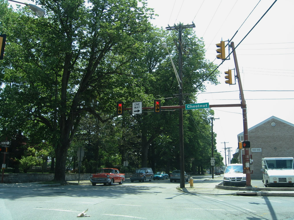
|
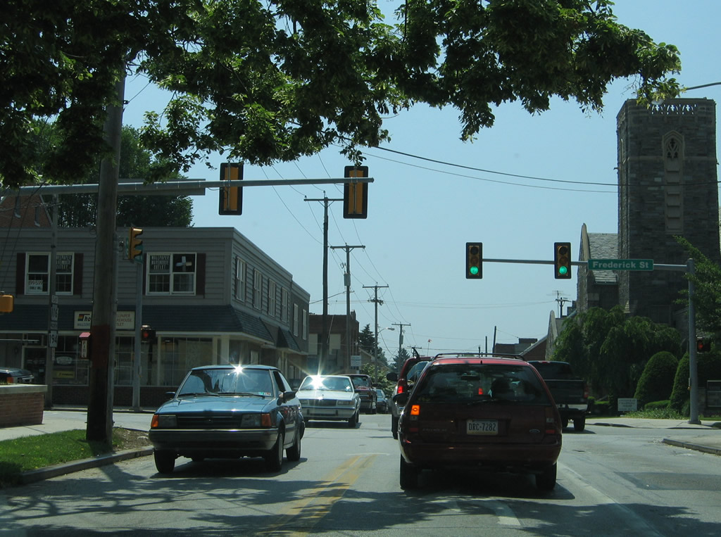
| PA 194 south follows Chestnut Street to Forney Avenue before joining the northbound direction along Frederick Street. PA 194 travels southwest ten miles to become MD 194. MD 194 continues the route 23.9 miles to Ceresville and MD 26. 06/05/05 |
|
| High Street carries PA 116 another two blocks to Frederick Street, where the route combines with PA 194 north into Downtown Hanover. 06/05/05 |
|
| PA 194 follows Frederick Street north to Broadway through Hanover. PA 116 combines with northbound PA 194 to York Street. 06/05/05 |
|
| PA 116 east and PA 194 north overlap for 0.2 miles. 06/05/05 |
|
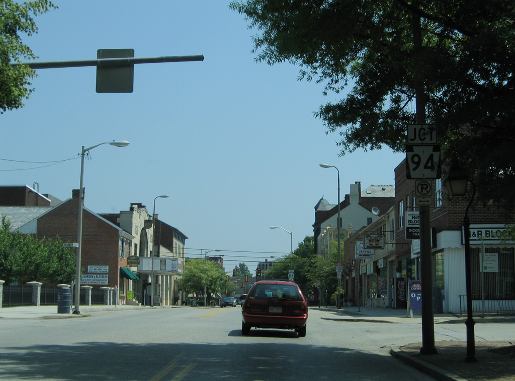
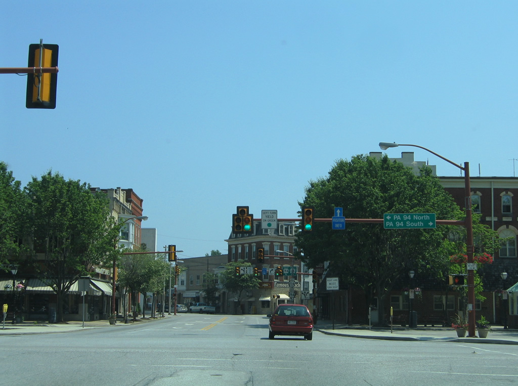
| PA 116/194 follow Center Square north through Downtown Hanover, where they meet PA 94 (Baltimore Street). 06/05/05 |
|
| A trailblazer for PA 116 directs motorists onto Broadway beyond PA 94 for its continuation onto York Street. 06/05/05 |
|
| PA 94 constitutes a 29 mile route from MD 30 near West Manheim northward to PA 34 near Mount Holly Springs. Along with MD 30, the route joins Hanover with Reisterstown and Baltimore, Maryland (via I-795). 06/05/05 |
|
| Pedestrian signals lie opposite both sides of the PA 94 (Carlisle Street north / Baltimore Street south) intersection along PA 116/194. 06/05/05 |
|
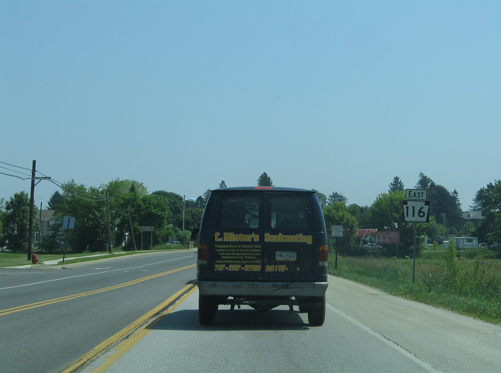
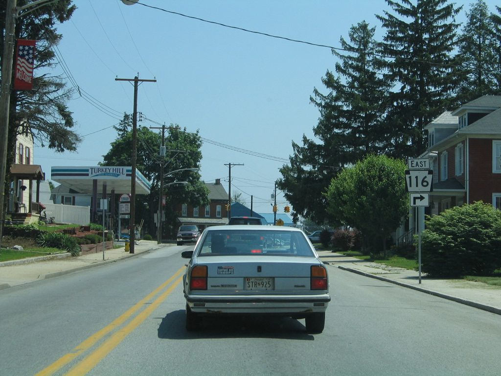
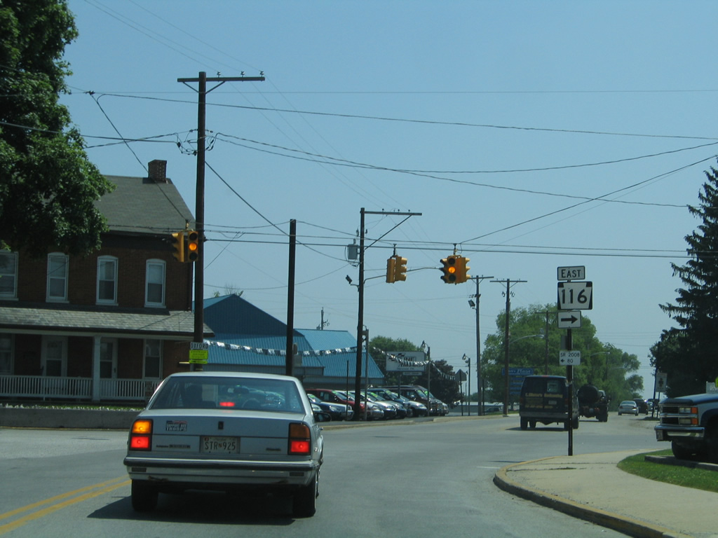
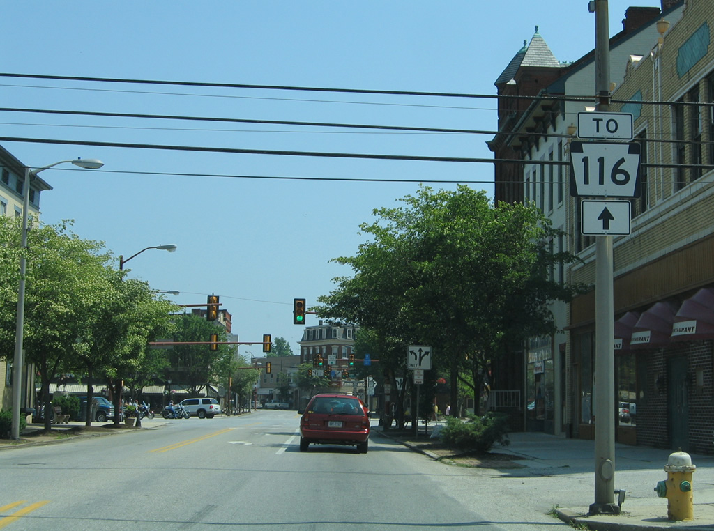
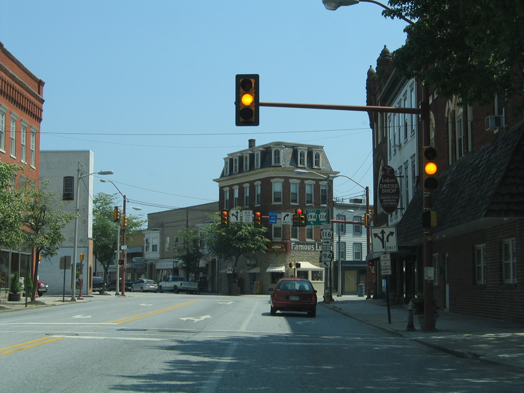
| PA 116 part ways with PA 194 (Broadway) for York Street east at the five way intersection with Railroad Street. PA 116 exits Hanover for Spring Grove while PA 194 turns northward to Abbottstown. 06/05/05 |
|
| Two blocks removed from PA 194 (Broadway), PA 116 (York Street) intersects Middle Street at the next traffic light. 06/05/05 |
|
| Reassurance marker for PA 116 posted on York Street east at Hanover Street. 06/05/05 |
|
| Pleasant Street heads a short distance south from PA 116 (York Street) to PA 94 (Baltimore Street). 06/05/05 |
|
| PA 116 (York Street) leaves the borough of Hanover and enters Penn Township ahead of John Street. 06/05/05 |
|
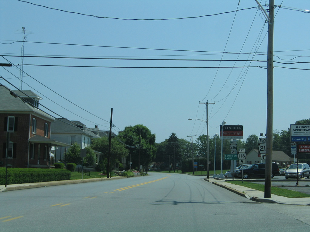
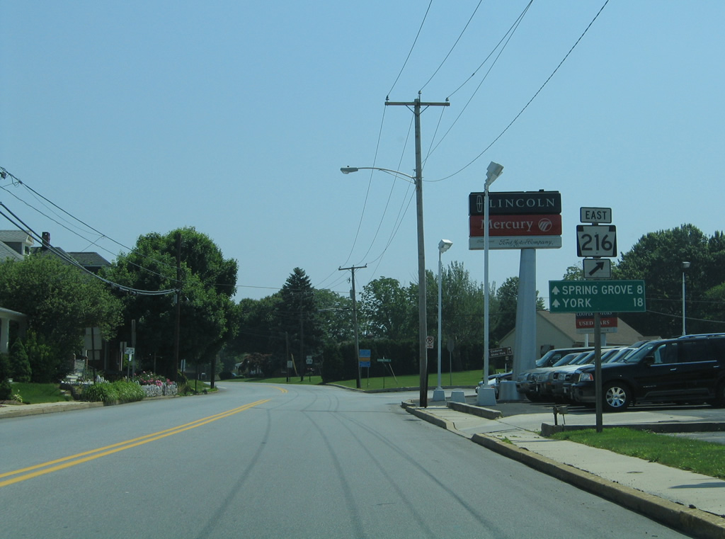
| PA 116 splits with PA 216 (Blooming Grove Road) just east of Hanover. PA 216 runs wholly within York County along a 26 mile course eastward to Glenville, Glen Rock and Winterstown. 06/05/05 |
|
| PA 116 provides the most direct route to York by way of Spring Grove, eight miles to the east of PA 216. PA 216 heads through Blooming Grove nearby to Lake Marburg and Codorus State Park. 06/05/05 |
|
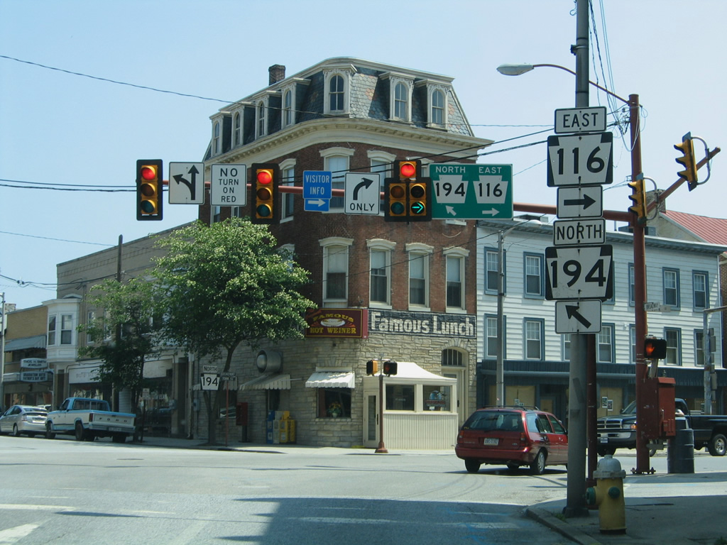
| PA 116 combines with U.S. 15 Business (Baltimore Street) one block south from Lincoln Square to Middle Street in Downtown Gettysburg. Baltimore Street / Pike leads south to eventually become a part of PA 97 at U.S. 15 (Blue-Gray Highway). 12/26/18 |
|
| U.S. 15 Business continues along Baltimore Street south to Steinwehr Avenue to Gettysburg National Military Park. PA 116 lines Middle Street west to Fairfield Road outside Gettysbug. 12/26/18 |
|
| Middle Street (SR 048) heads west from S 6th Street to U.S. 15 Business/SR 116 at Baltimore Street. 06/04/05 |
|
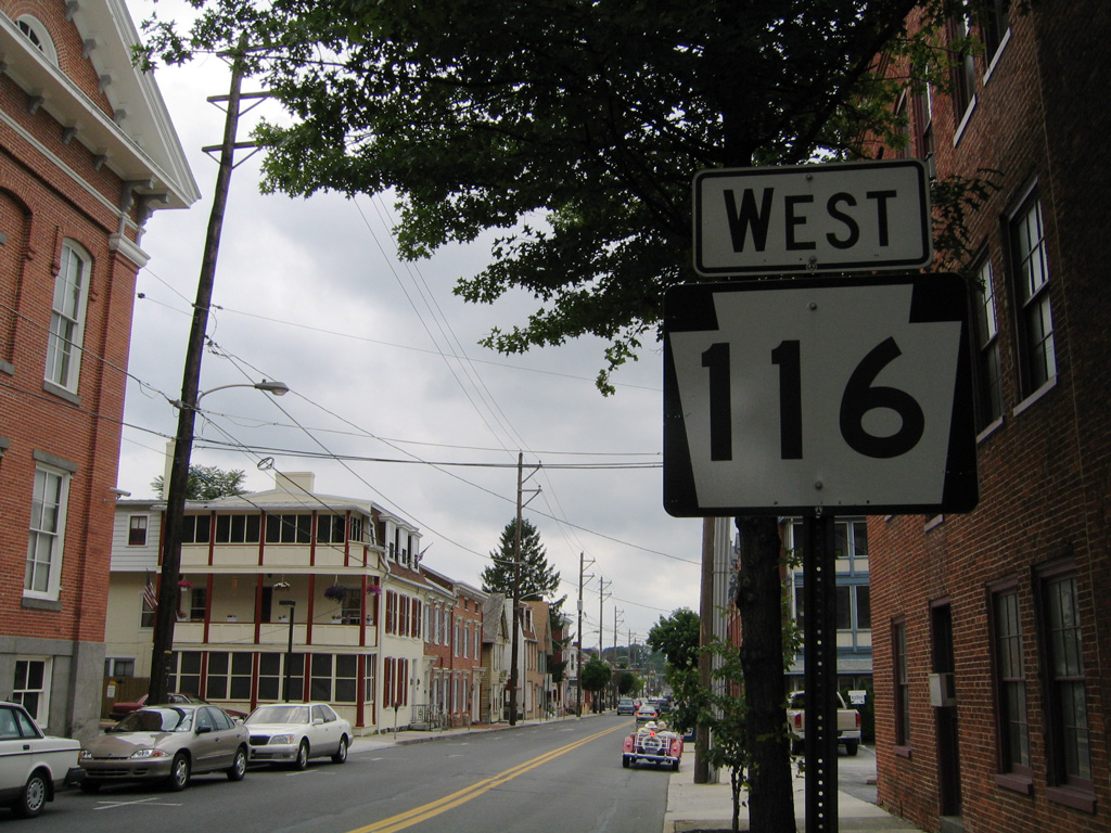
| The confirming marker for PA 116 posted west of U.S. 15 Business (Baltimore Street) on Middle Street was replaced by 2014 with a bridge weight restriction sign. That assembly was subsequently removed by 2019. 06/04/05 |
|
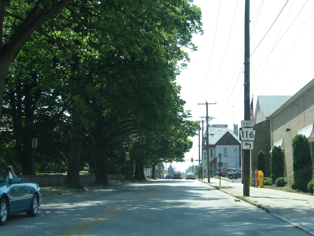
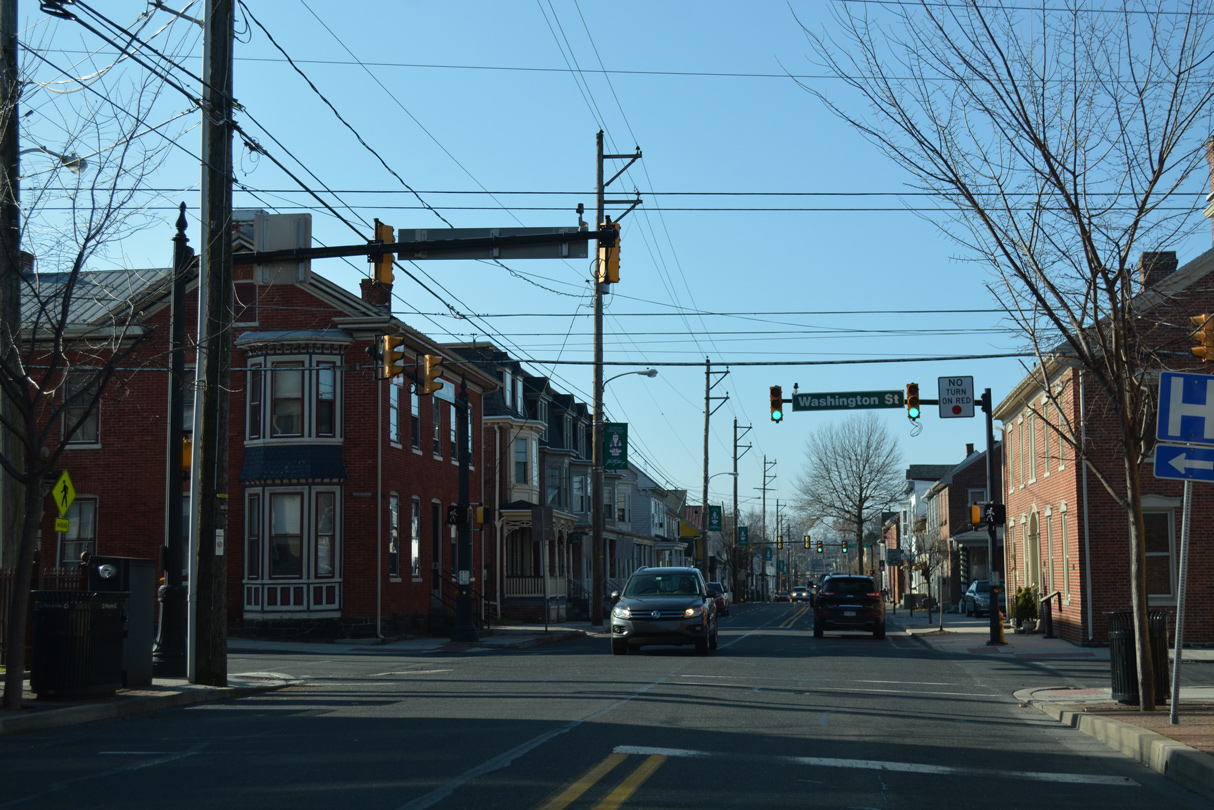
| The succeeding traffic light on PA 116 (Middle Street) west in Gettysburg is with Washington Street (SR 049). 12/28/18 |
|
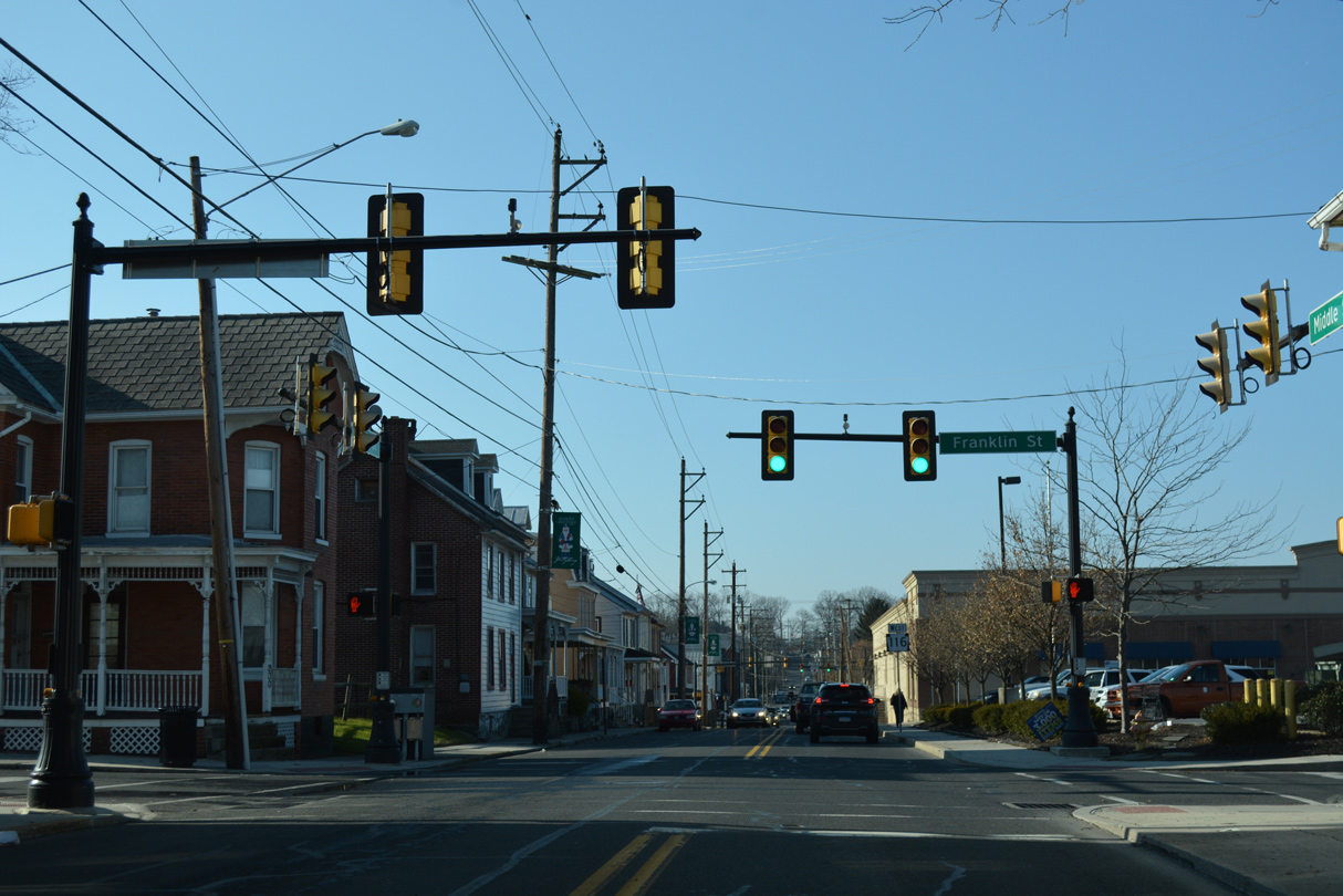
| Middle Street west at Franklin Street, which leads south to Long Lane and Gettysburg Recreation Park. 12/28/18 |
|
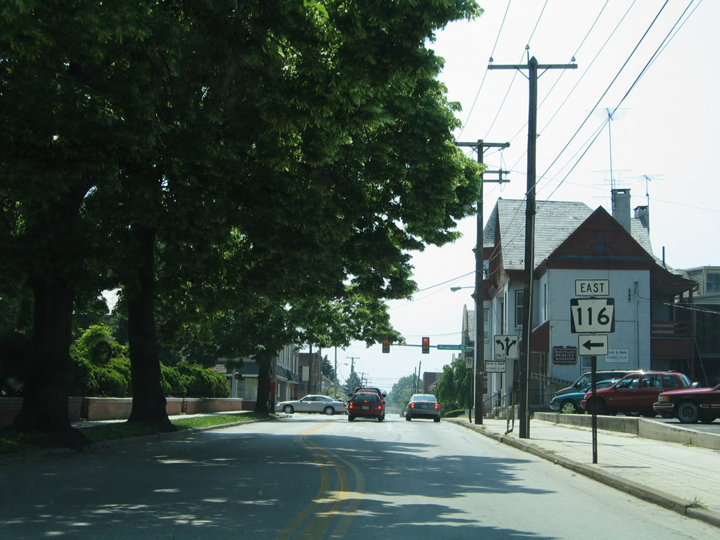
| The first reassurance shield for PA 116 west of U.S. 15 Business stands beyond Franklin Street. 12/28/18 |
|
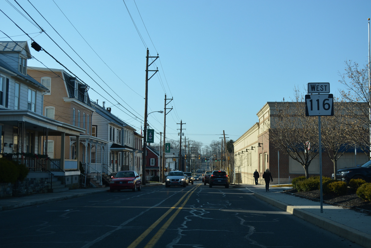
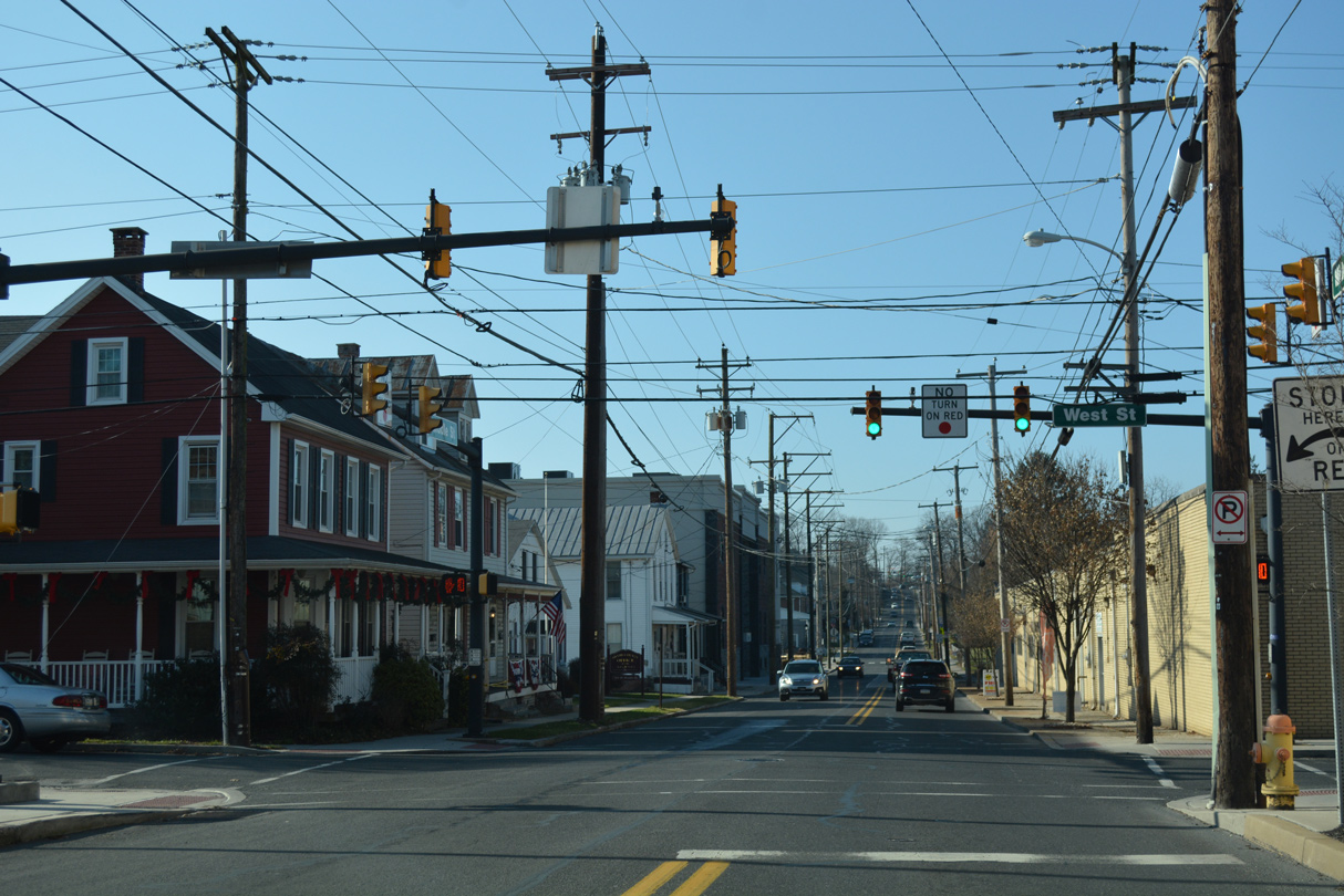
| West Street links PA 116 (Middle Street) with U.S. 30 (Chambersburg Street) where it turns northward out of Gettysburg. 12/28/18 |
|
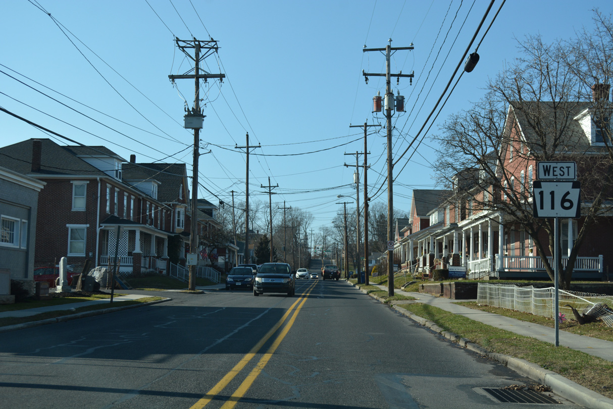
| PA 116 (Middle Street) west of Stevens Run and Reynolds Street in Gettysburg. 12/28/18 |
|
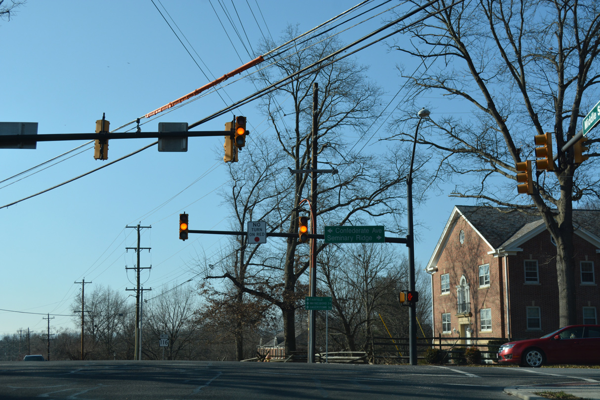
| Confederate Avenue leads south from PA 116 (Middle Street) to Seminary Ridge in Gettysburg Military National Park. The borough of Fairfield lies eight miles to the southwest. 12/28/18 |
Page Updated 02-06-2021.