|
| Leaving the roundabout with the northbound ramps to and from MD 5 (Leonardtown Road) at Hughesville. 06/25/10 |
|
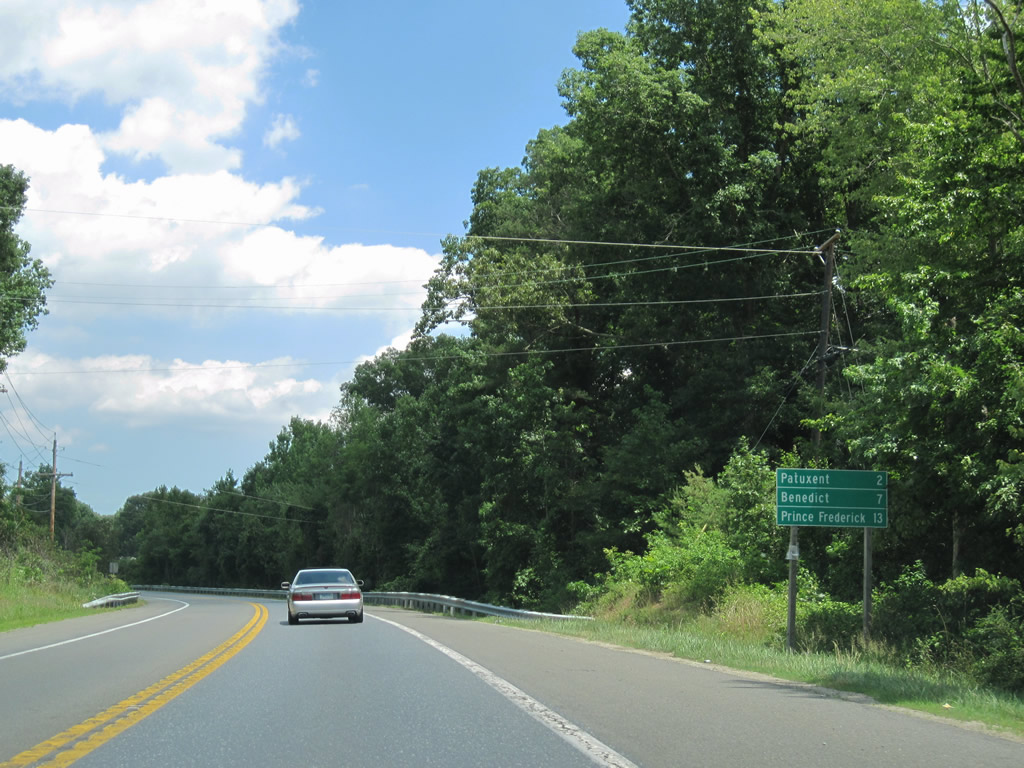
| MD 231 (Prince Frederick Road) heads east two miles to Patuxent before angling southeast to Benedict and the Patuxent River crossing toward Prince Frederick. 06/25/10 |
|
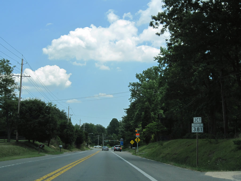
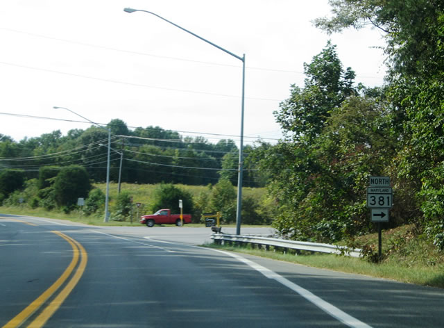
| Approaching the signalized intersection with MD 381 (Brandywine Road) north at Patuxent. 06/25/10 |
|
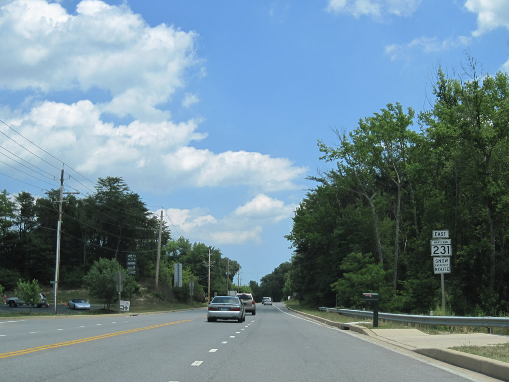
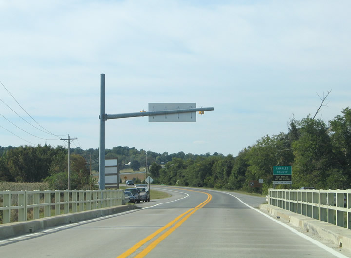
| Two miles east of Hughesville along MD 231 (Prince Frederick Road) at the southern terminus of MD 381 (Brandywine Road). MD 381 arcs 15.91 miles northwest between Patuxent and U.S. 301 (Robert Crain Highway) near Brandywine. 06/25/10 |
|
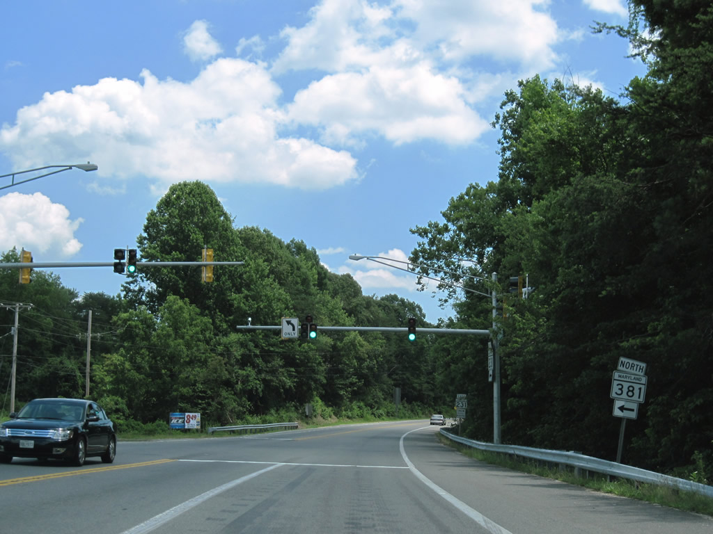
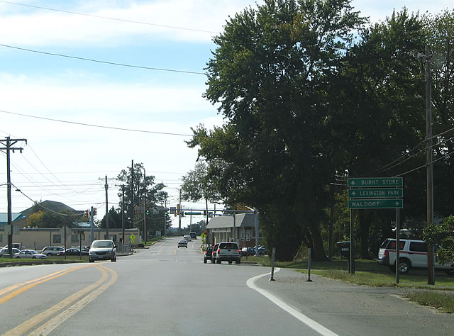
| Turning southward from Patuxent and MD 381 on MD 231 (Prince Frederick Road) east toward Loves. 06/25/10 |
|
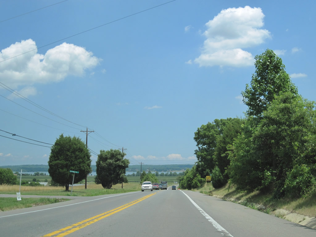
| The Patuxent River comes into view beyond farm land along MD 231 near Benedict. 06/25/10 |
|
| Benedict Avenue spurs south from MD 231 into the river side town of Benedict. A reassurance shield follows. 06/25/10 |
|
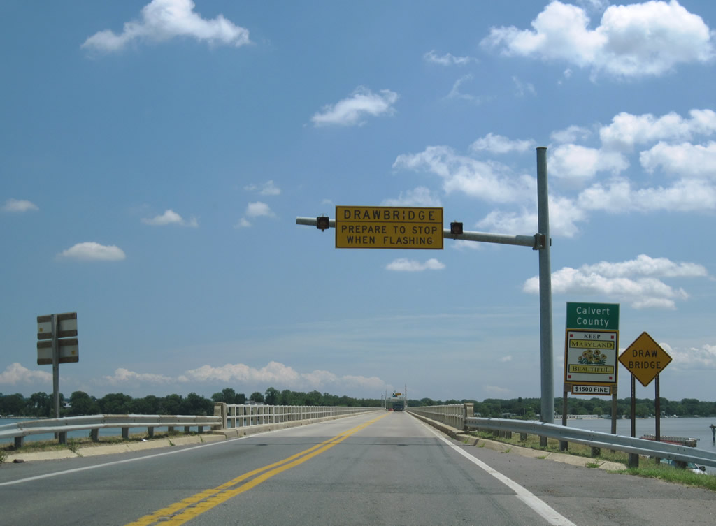
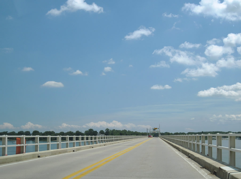
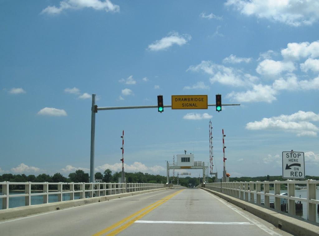
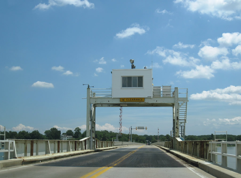
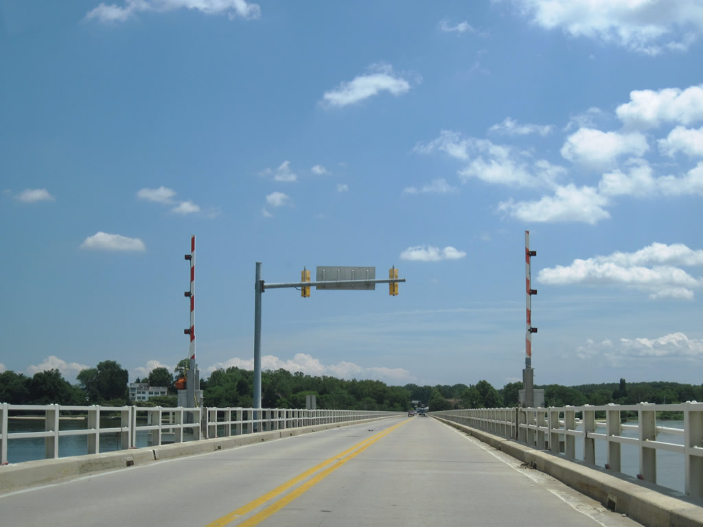
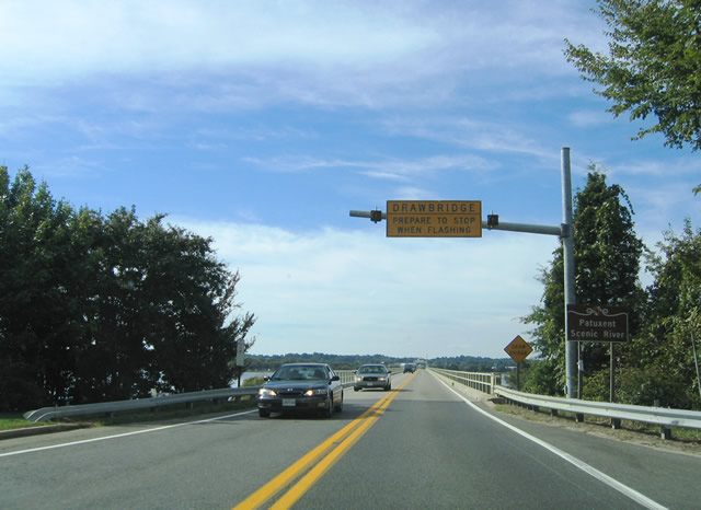
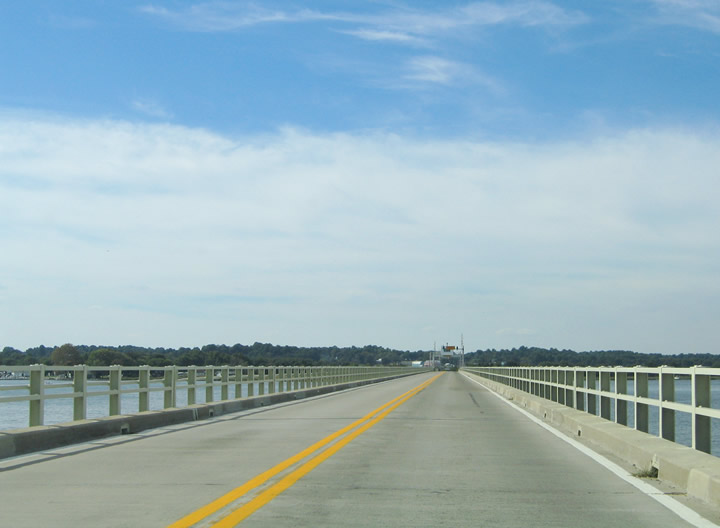
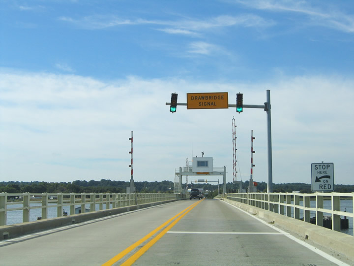
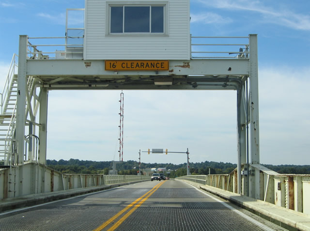
| MD 231 crosses a narrow two lane drawbridge between Charles and Calvert Counties six miles west of Prince Frederick. A power plant lines the western banks of the Patuxent River at Maxwell Hall Park to the northwest. The draw span carried a 50 cent toll for drivers until December of 1954.1 06/25/10 |
|
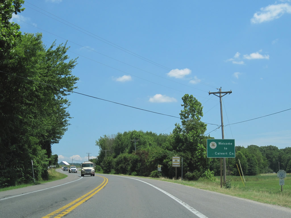
| The Calvert County lines the mid point across the Patuxent River. MD 231 returns to land at Burch. 06/25/10 |
|
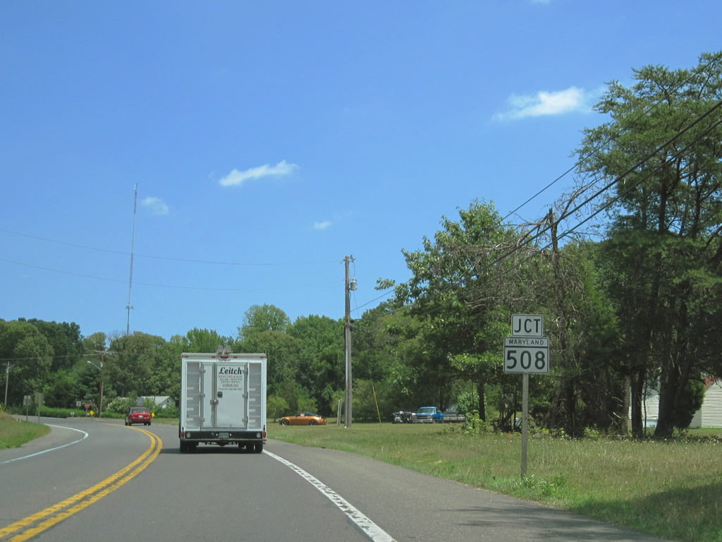
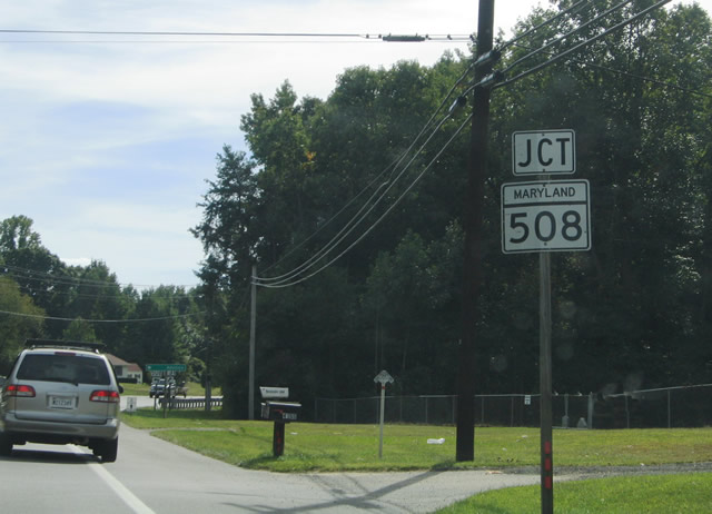
| MD 231 (Hallowing Point Road) turns northward at the junction with MD 508 (Adelina Road) north of Bowens. MD 508 comprises a short 1.20 mile routing along Adelina Road from Hallowing Point Road near Barstow to MD 506 (Sixes Road). 06/25/10 |
|
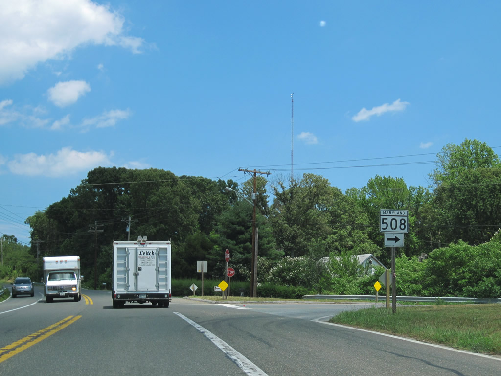
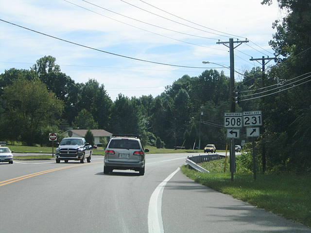
| MD 231 east at the south beginning of MD 508. Adelina Road continues south from MD 506 to Adelina and Battle Creek. 06/25/10 |
|
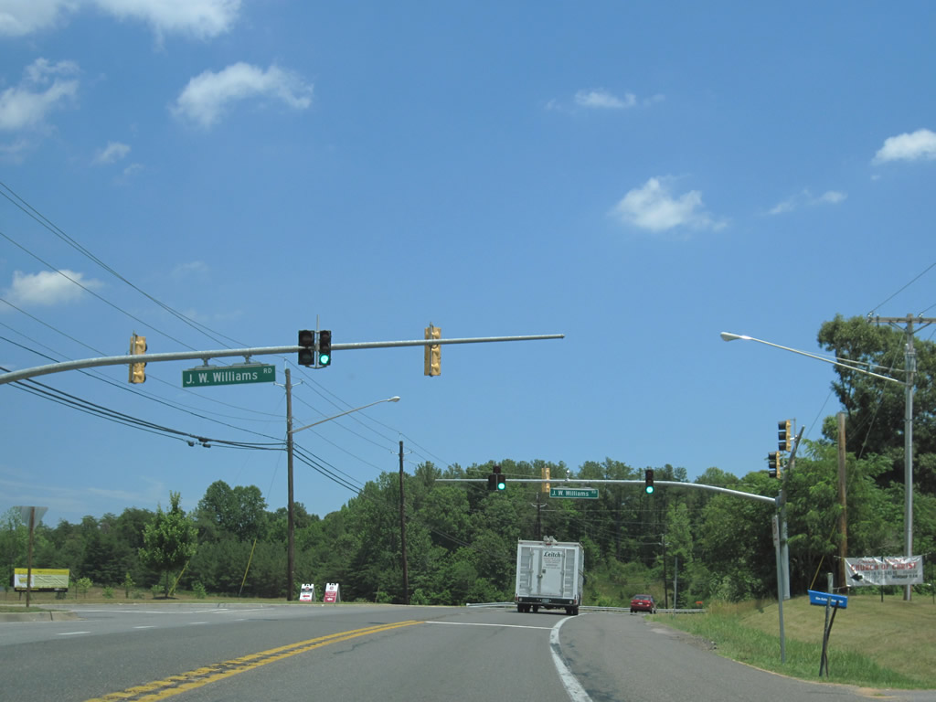
| Arcing northeast, MD 231 (Hallowing Point Road) leaves Barstow and sees a traffic light with J.W. Williams Road north to the Prince Frederick Campus of the College of Southern Maryland. 06/25/10 |
|
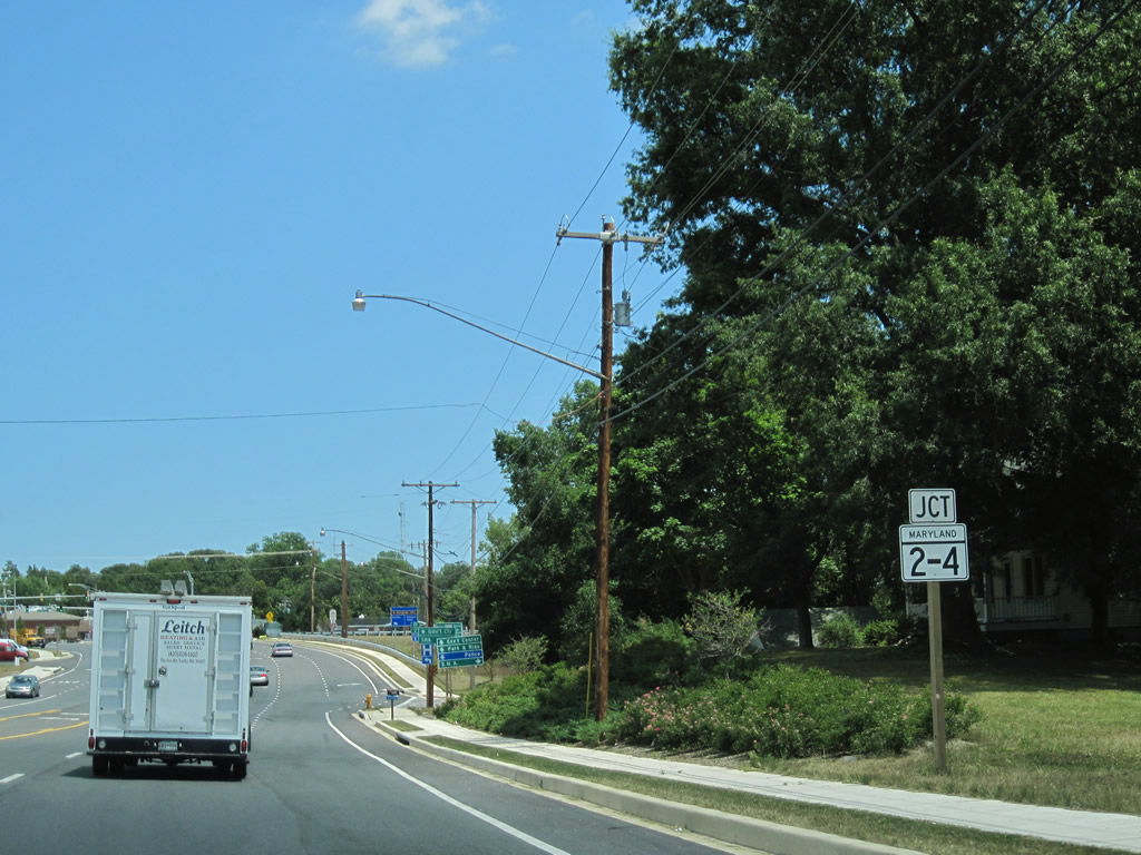
| Approaching the commercialized arterial of MD 2/4 (Solomons Island Road / Louis L. Goldstein Highway) in Prince Frederick. 06/25/10 |
|
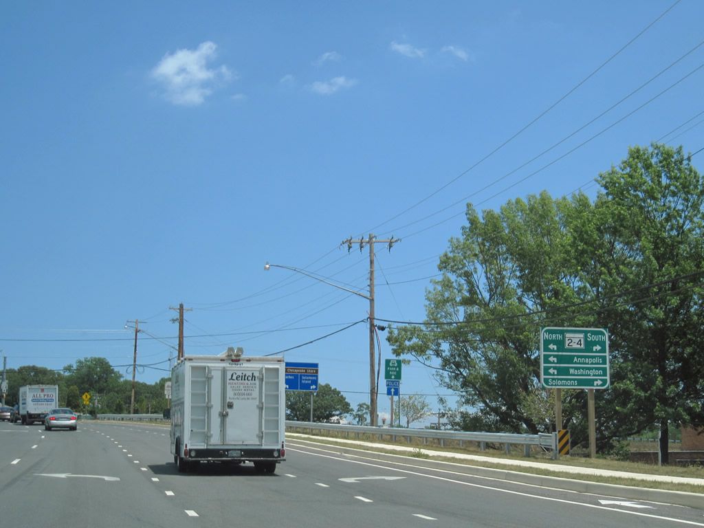
| MD 231 east widens to four lanes at the intersection with MD 2/4. MD 2/4 travel eight miles north to their split near Sunderland. MD 2 continues north to Annapolis while MD 4 turns west to Washington, DC. 06/25/10 |
|
| MD 2/4 head southward from MD 231 and Prince Frederick to their split at Solomons in southern Calvert County. MD 4 spans the Patuxent River there to St Marys County and Leonardtown. 06/25/10 |
|
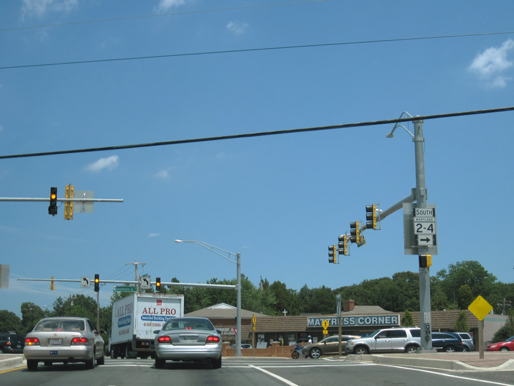
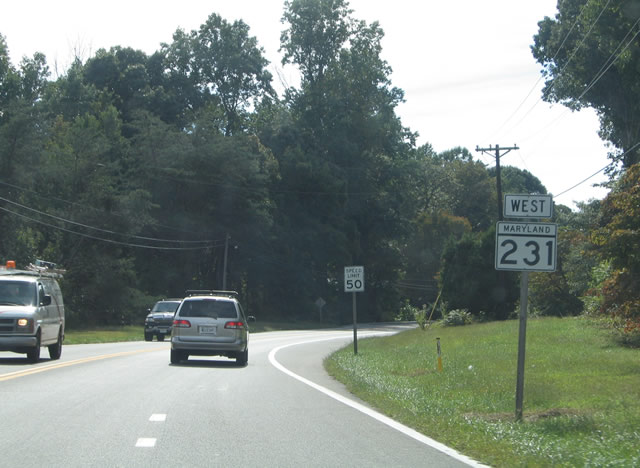
| Westbound reassurance shield for MD 231 (Hallowing Point Road) posted after its intersection with MD 2/4 (Solomons Island Road) at Prince Frederick. MD 231 ventures 16.39 miles west from MD 765 (Main Street) in Prince Frederick to Burnt Store in eastern Charles County. 09/25/04 |
|
| MD 231 (Hallowing Point Road) curves three miles southwest from Prince Frederick to MD 508 (Adelina Road). MD 508 comprises a short 1.20 mile routing along Adelina Road from Hallowing Point Road near Barstow to MD 506 (Sixes Road). 09/25/04 |
|
| MD 231 (Hallowing Point Road) at the northern end of MD 508 (Adelina Road). Use Adelina Road south for Bowens and Adelina. 09/25/04 |
|
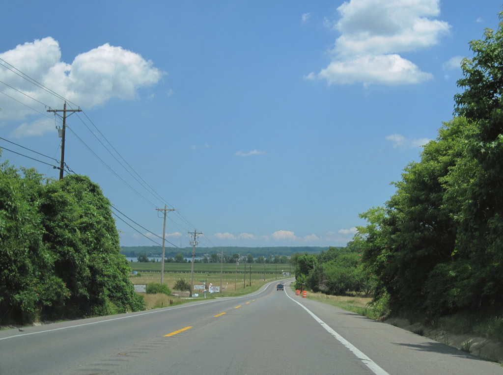
| Continuing westward along MD 231 (Hallowing Point Road) toward the Patuxent River and Charles County line. The state route crosse the waterway in three miles. 09/25/04 |
|
| MD 231 crosses a narrow two lane drawbridge between Calvert County and Benedict six miles west of Prince Frederick. A power plant lines the western banks of the Patuxent River at Maxwell Hall Park to the northwest. The draw span carried a 50 cent toll for drivers until December of 1954.1 09/25/04 |
|
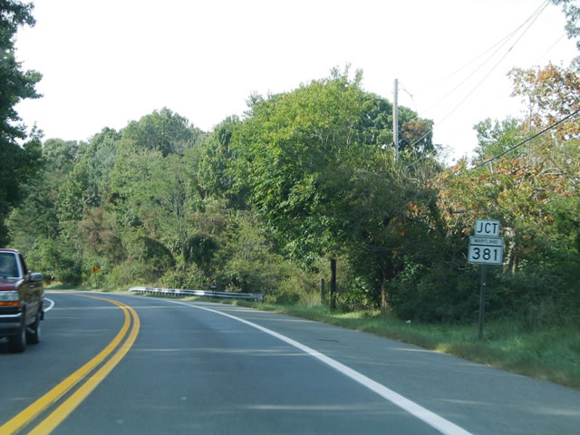
| Five miles northwest of Benedict along MD 231 (Prince Frederick Road) is the southern terminus of MD 381 (Brandywine Road). MD 381 arcs 15.91 miles northwest between Patuxent and U.S. 301 (Robert Crain Highway) near Brandywine. 09/25/04 |
|
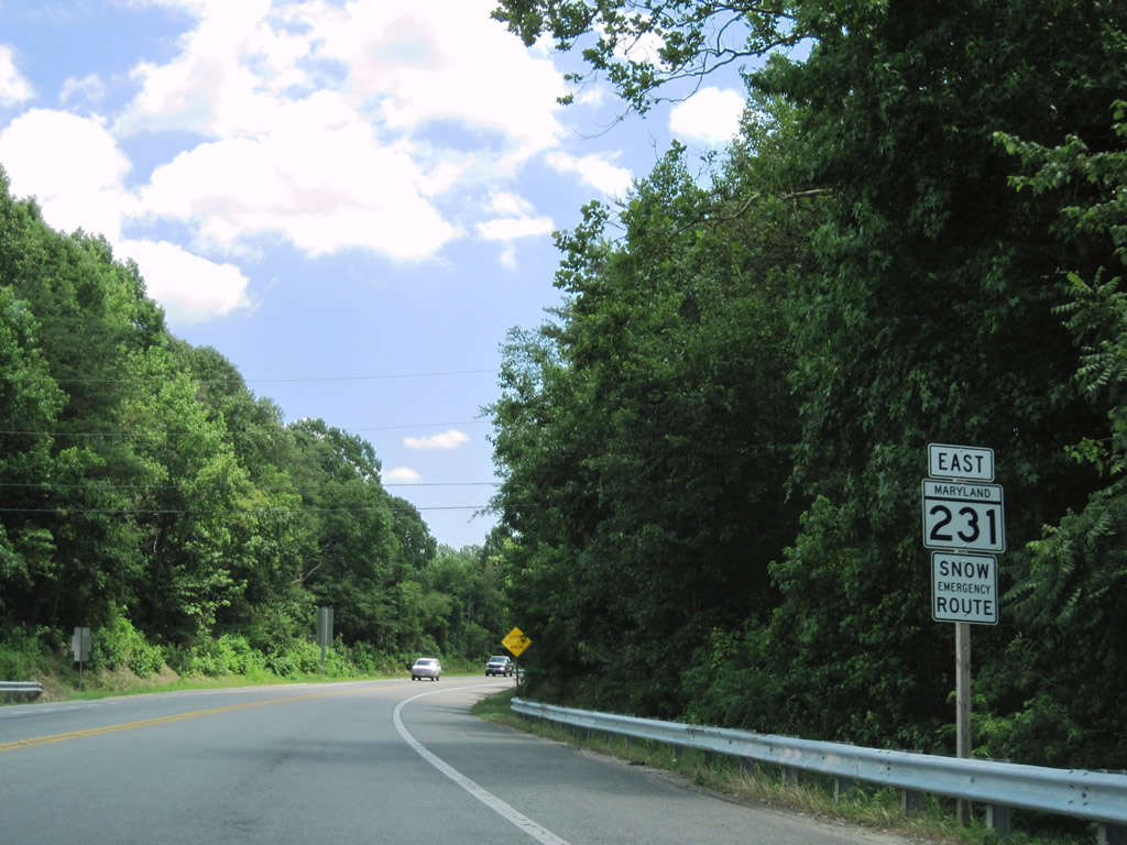
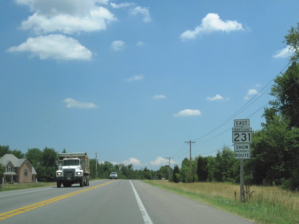
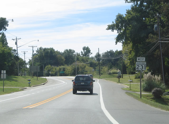
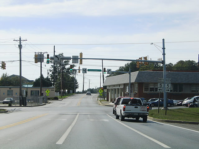
| MD 231 (Prince Frederick Road) enters the village of Hughesville at MD 5 (Leonardstown Road). MD 5 is a well traveled corridor between U.S. 301 at Mattawoman and Lexington Park in southern St. Marys County (via MD 235). MD 231 continues west three miles via Burnt Store Road to its conclusion at Burnt Store. MD 5 splits with MD 5 Business outside of Waldorf eight miles to the northwest. 09/25/04 |
Page Updated 08-31-2010.