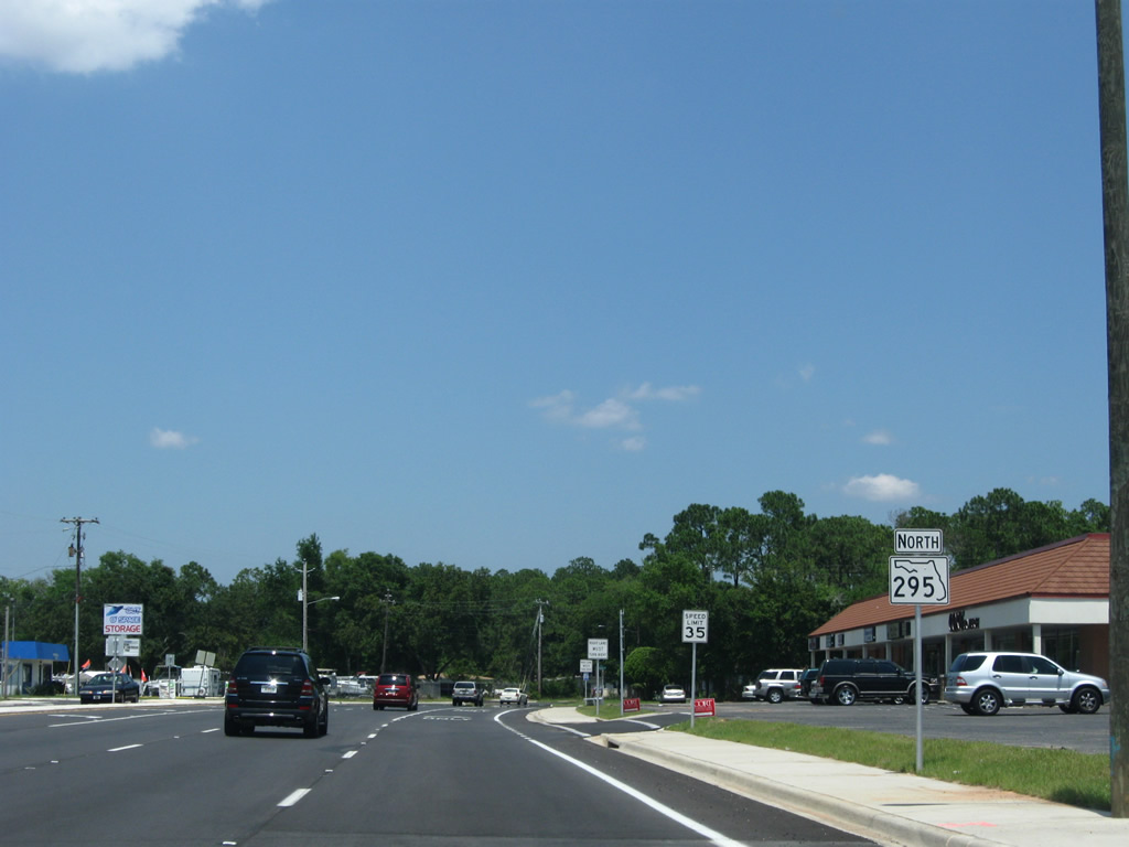
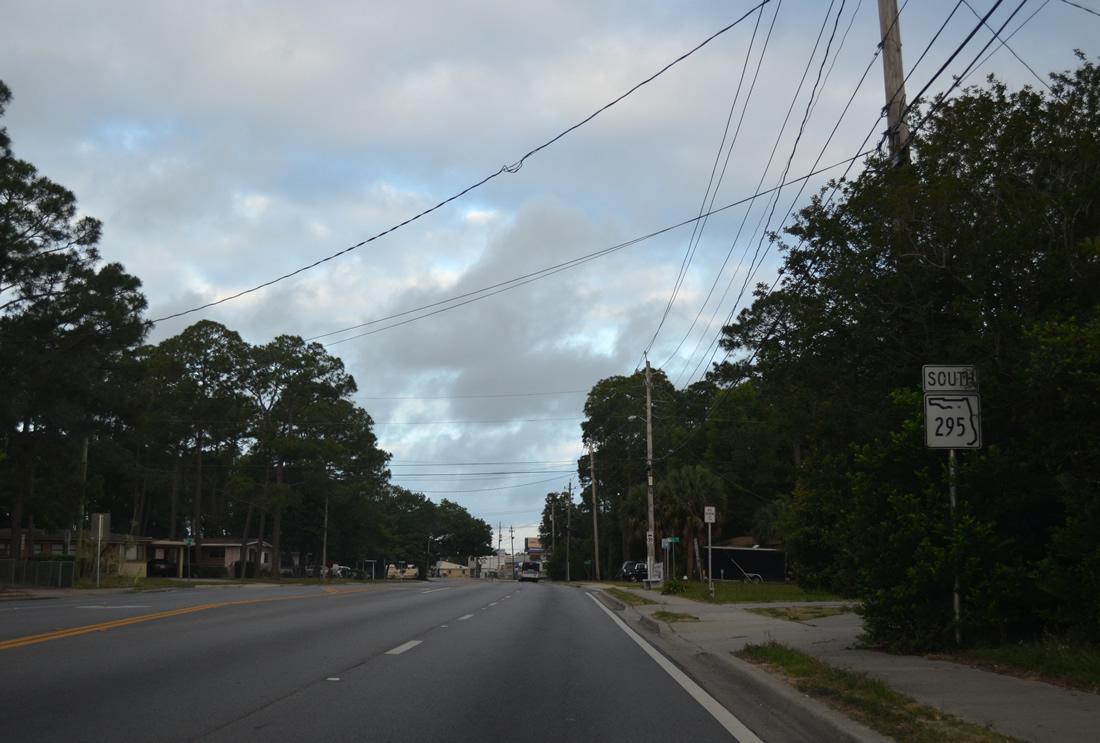
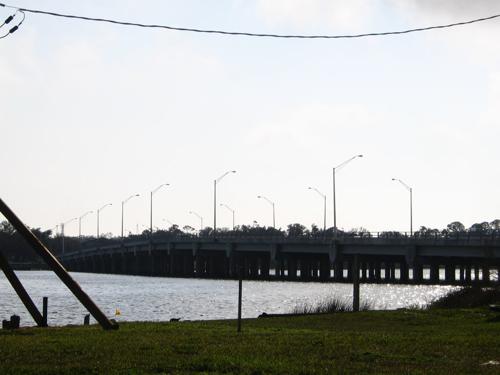
The Sam Lovelace Bridge spans Bayou Grande south from Warrington to the Main Gate of Pensacola Naval Air Station. State Road 295 officially ends at the north end of the 1984-built bridge. This view looks at the six-lane span from Jones Point to the east. 01/30/06
Florida State Road 295 forms a ring around southwest Pensacola. The four to six lane route loops northward from the Main Gate to Pensacola Naval Air Station through Warrington to West Pensacola and Ninth Avenue in the city. This includes a short expressway segment (New Warrington Spur) at U.S. 90 and SR 727 (Fairfield Drive). Completed in 1973, this controlled access highway has an overpass above SR 298 (Lillian Highway), a parclo interchange with U.S. 90, and a wye interchange with SR 727.
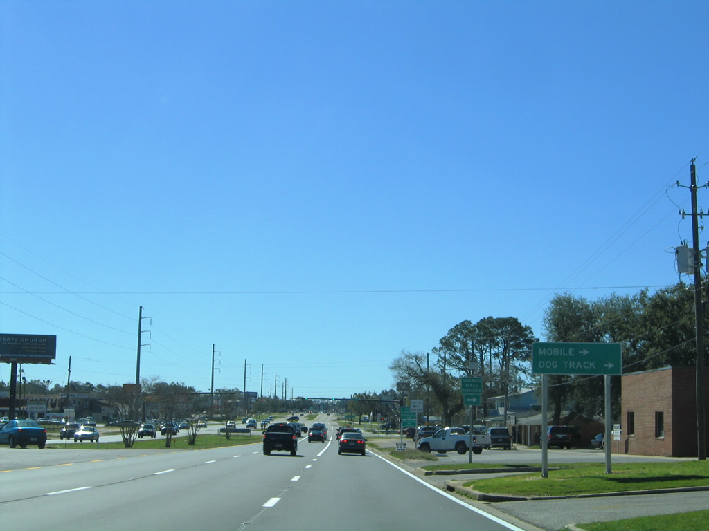
The expressway portion of SR 295 combines with Fairfield Drive, which SR 295 follows for the remainder of its course to Pensacola. The arterial provides the northernmost third of a route between Interstate 110 and the Naval Air Station. East of I-110 (Exit 4), SR 295 ends at SR 289 (9th Street), with Fairfield Drive continuing northeast to 12th Avenue at Pensacola International Airport (PNS).
A portion of New Warrington Road bypassed by the New Warrington Spur expressway was retained as a segment of State Road 295. This 0.482 mile section of SR 295 links the expressway with SR 298 (Lillian Highway) west while also providing the missing movements to U.S. 90 (Mobile Highway) from the adjacent partial interchange.
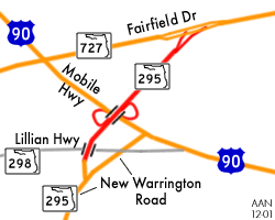
New Warrington Spur consists of a 1.34 mile expressway linking Fairfield Drive (SR 727) with New Warrington Road (SR 295) at West Pensacola. The controlled access highway carries two lanes northbound, and one continuous lane southbound. The speed limit is only 40 miles per hour.
|
| SR 295 begins at the north end of the Bayou Grande bridge along Navy Boulevard. A sign bridge posted above the six lane arterial outlines the lane allocation for drivers entering the Naval Air Station along Navy Boulevard southbound. Northbound motorists are simply reminded of the 35 mile per hour speed limit. 12/21/03 |
|
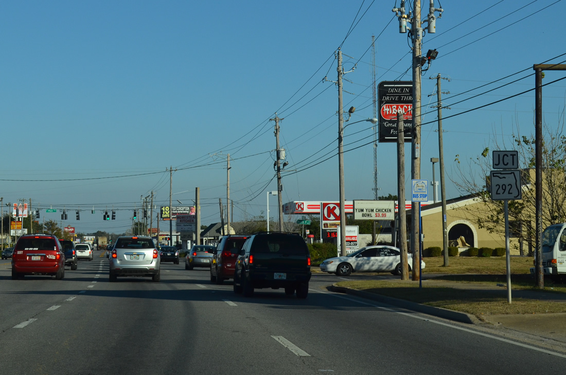
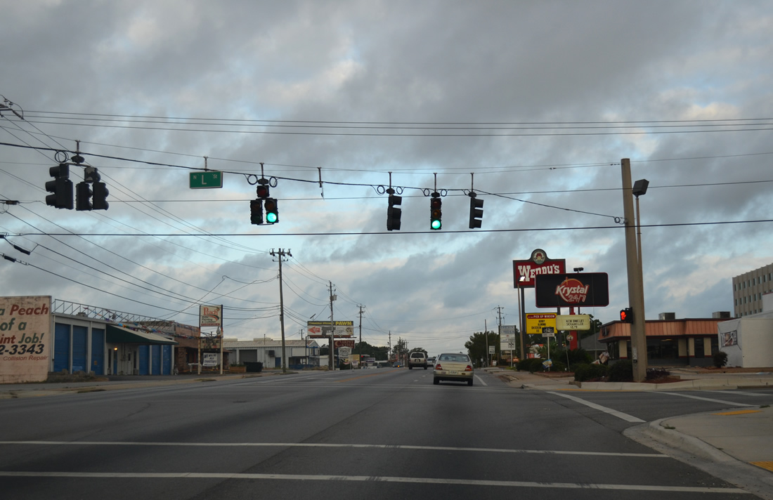
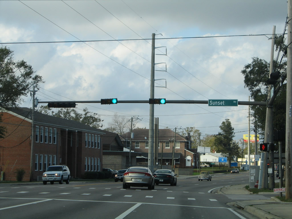
| Sunset Avenue loops southeast from SR 292 (Gulf Beach Highway) to cross SR 295 (Navy Boulevard) to Live Oak Avenue near Star Lake. Sunset and Live Oak Avenues were once a part of an unsigned County Road 292A south from SR 292. 01/31/06 |
|
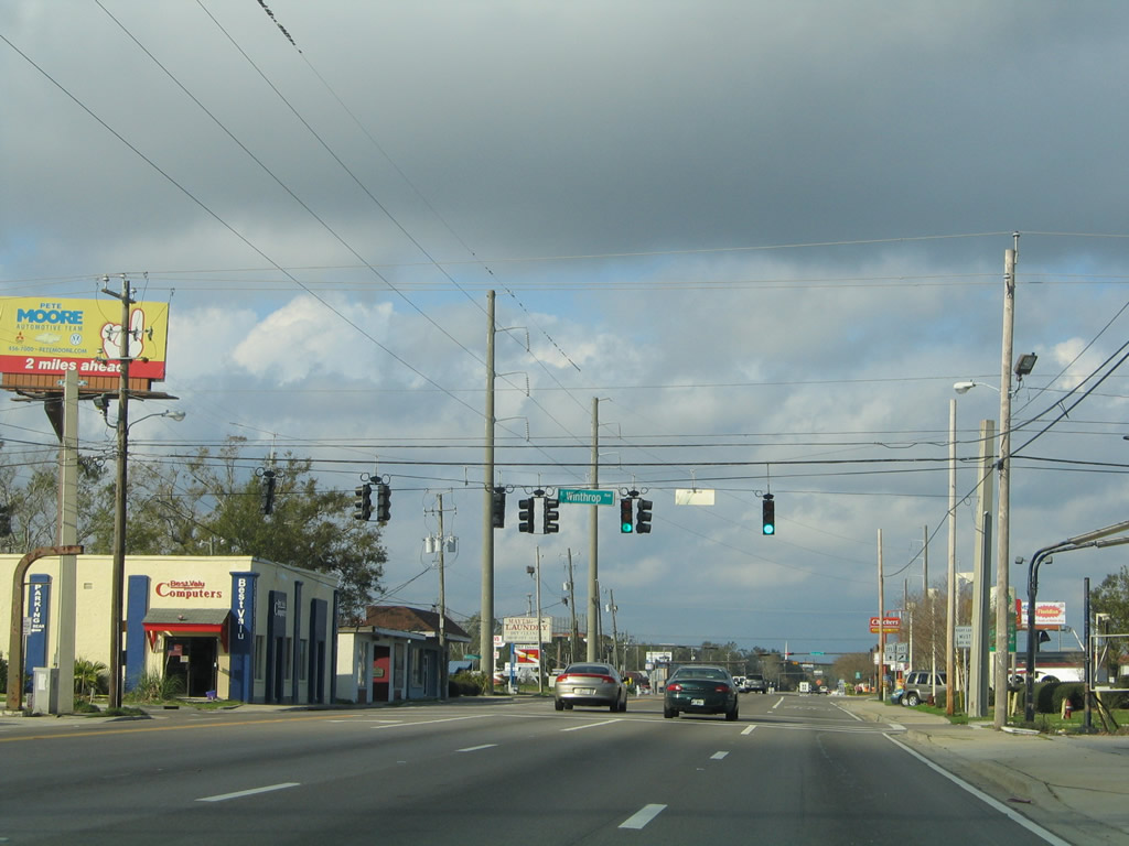
| Winthrop Avenue veers south from SR 292 (Gulf Beach Highway) to Live Oak Avenue east of its traffic light with Navy Boulevard. 01/31/06 |
|
| A two lane ramp connects SR 292 (Navy Boulevard) northbound with SR 292 (Barrancas Avenue) east to Bayou Chico and downtown Pensacola. 01/31/06 |
|
| Continuing northward through Warrington along SR 295 (Navy Boulevard) after SR 292. 01/31/06 |
|
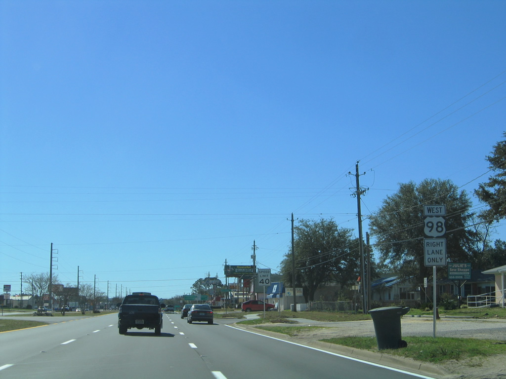
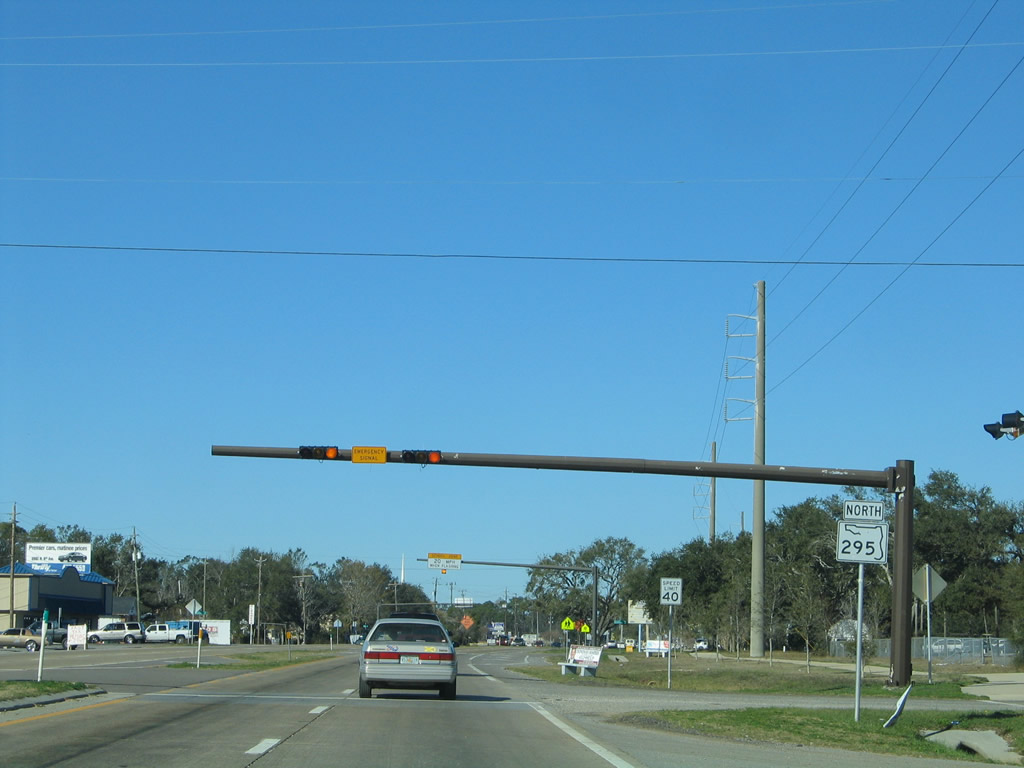
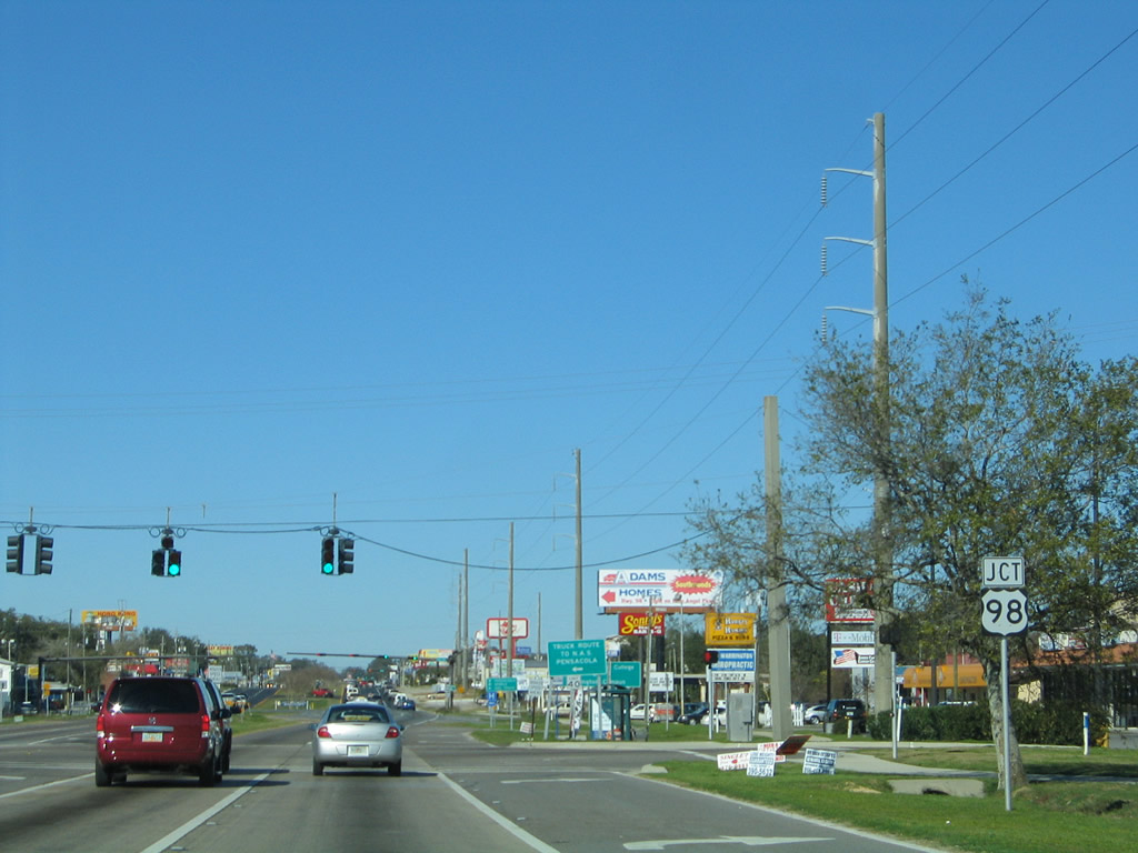
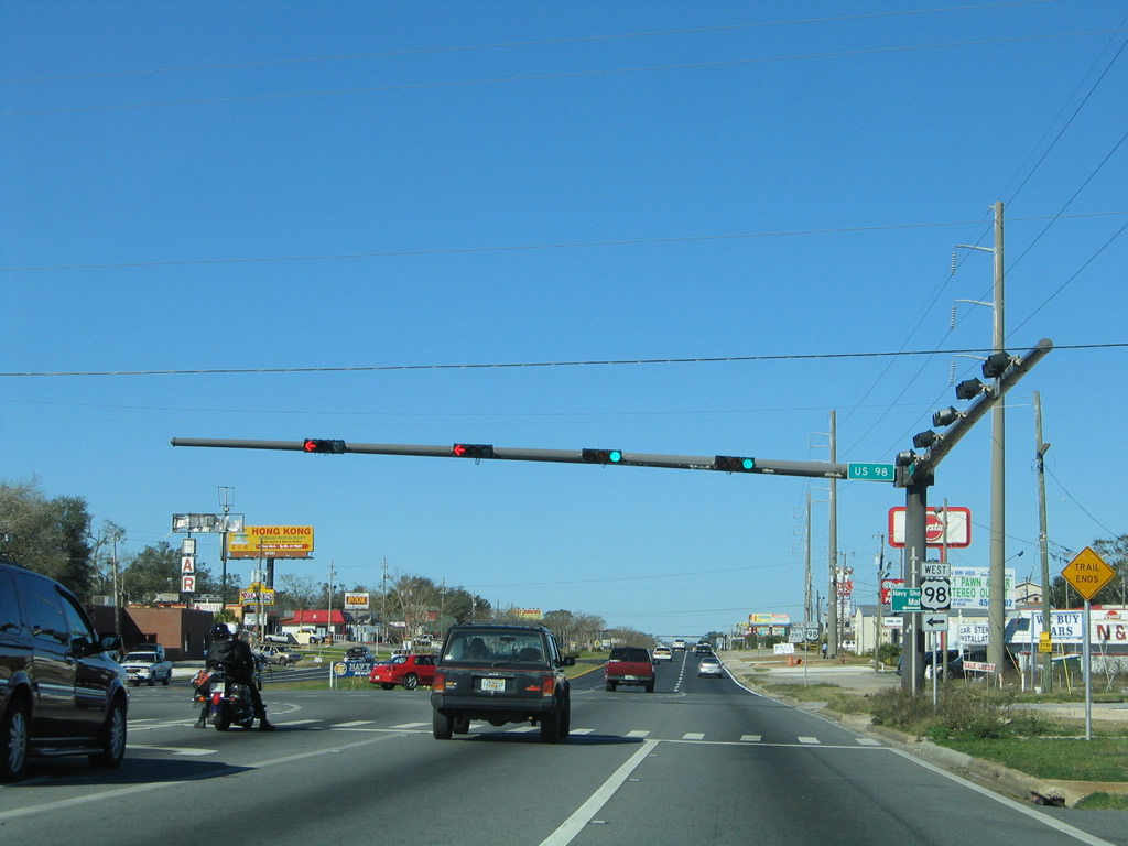
| U.S. 98 joins Navy Boulevard from Myrtle Grove and Lillian, Alabama to the west for a short overlap north to New Warrington Road. 01/31/06 |
|
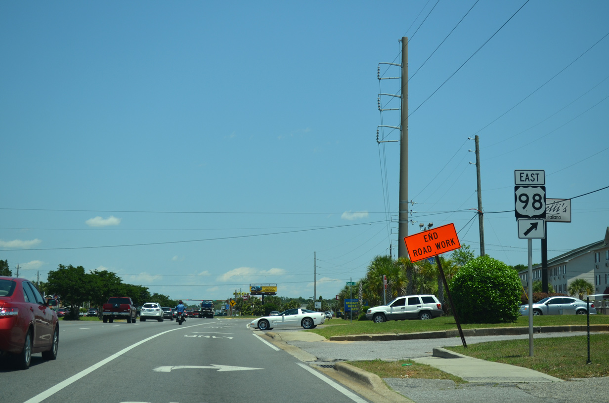
| Guide sign posted for U.S. 98 (Dr. Farin Drive) west from SR 295 north. While Mobile is eventually reached by the US highway, taking U.S. 98 from Pensacola to the Port City is not the most direct route. 01/31/06 |
|
| U.S. 98 immediately meets the Pensacola Naval Hospital nearby before continuing on to Paradise Beach and Alabama. The highway reduces to two lanes beyond SR 173 and becomes more rural to Elberta and Foley, Alabama. 01/31/06 |
|
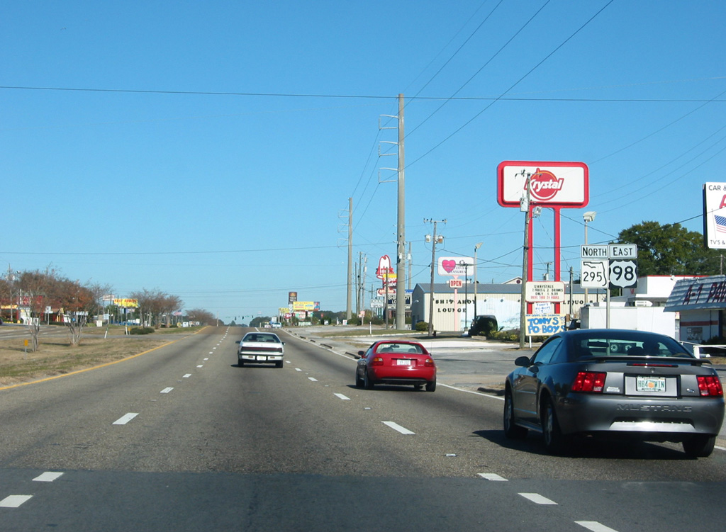
| Reassurance shields posted for U.S. 98 east / SR 295 north along their 0.3 mile overlap. 12/21/03 |
|
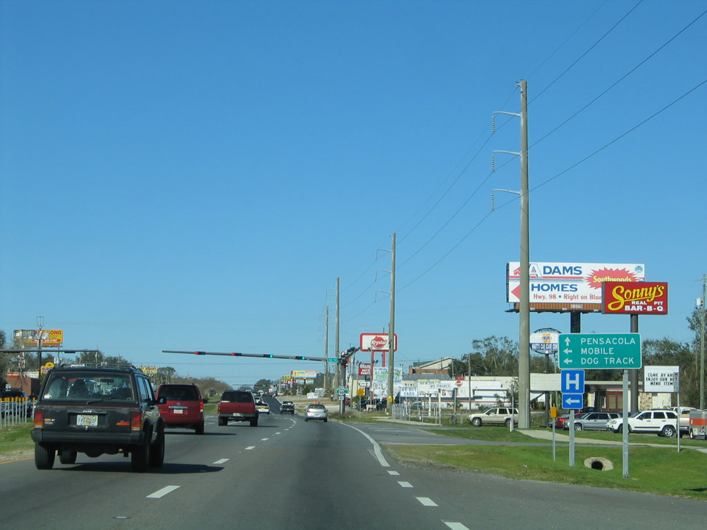
| Navy Boulevard turns eastward with U.S. 98 to the city of Pensacola as SR 295 northbound transitions into New Warrington Road. 05/16/14 |
|
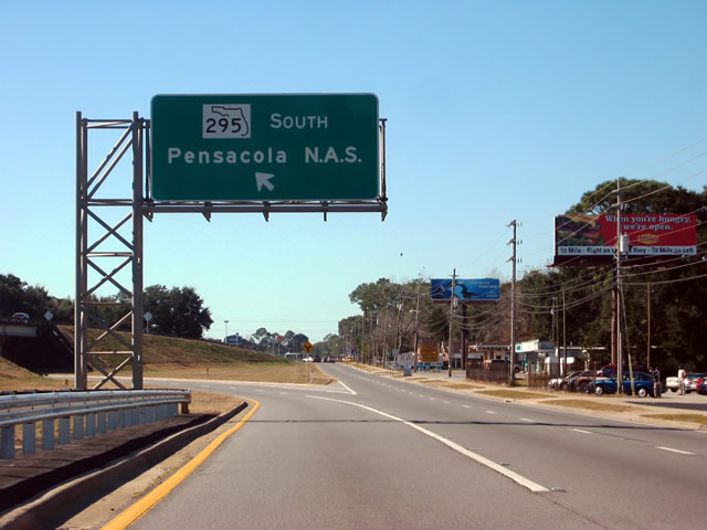
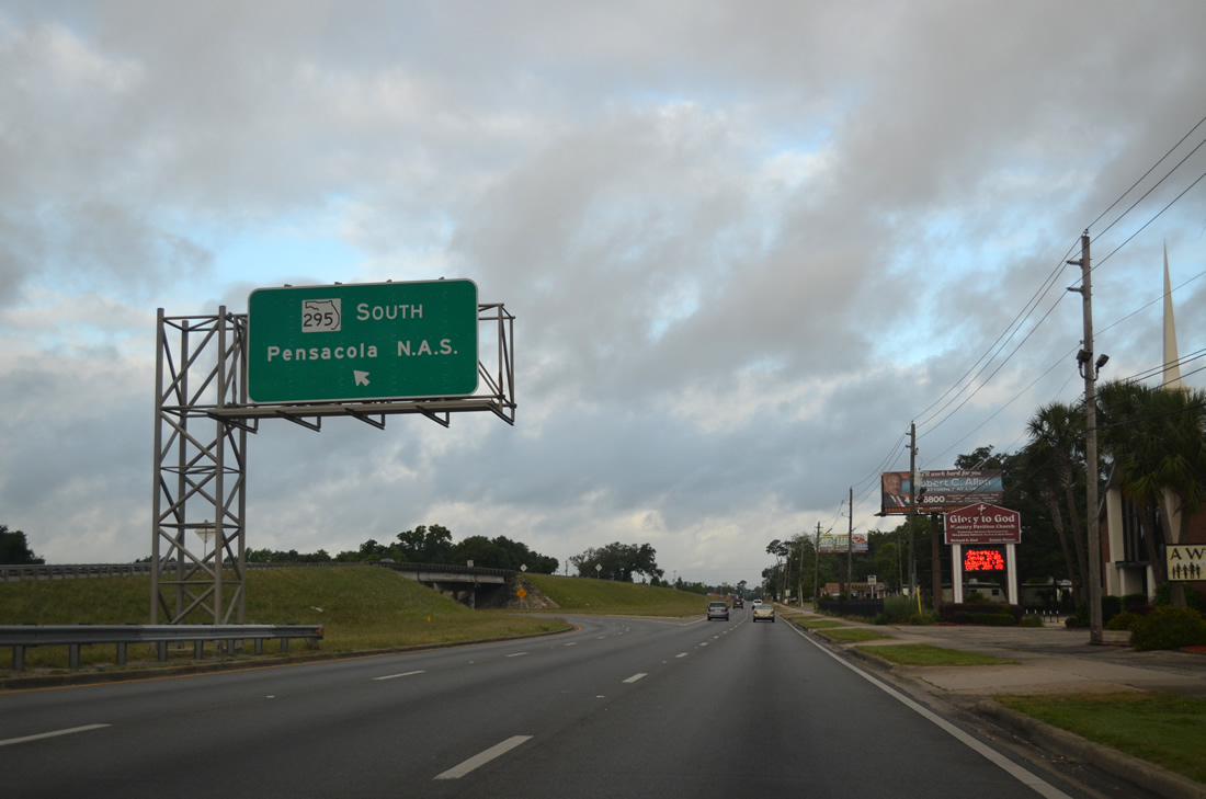
| SR 295 continues north to West Pensacola and a short expressway at U.S. 90 (Mobile Highway). U.S. 98 leads directly to Downtown Pensacola. 01/31/06 |
|
| New Warrington Road carries four lanes with a grassy median northward from U.S. 98 to the New Warrington Spur expressway. A substantial amount of commercial development lines SR 295 between U.S. 98 and U.S. 90 (Mobile Highway). 11/17/12 |
|
| Chief's Way connects SR 295 (New Warrington Road) with the main gate to Corry Station to the west. East of SR 295, the two lane roadway doubles as the 0.209 mile SR 294. SR 294 is remnant from the original U.S. 98 alignment between New Warrington Road and Navy Boulevard. Historically the route was the state road from Pensacola west to Millview until it was renumbered as U.S. 98 and SR 30. 11/17/12 |
|
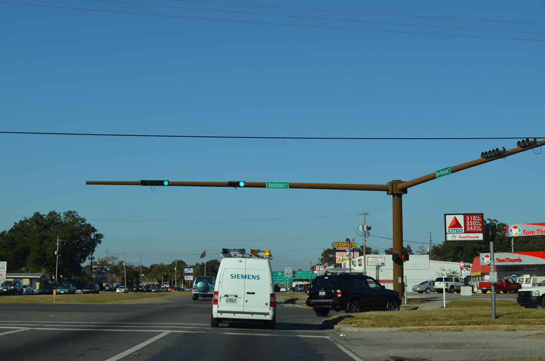
| Jackson Street (unsigned County Road 298A) intersects SR 295 at West Pensacola. The residential thoroughfare leads east to U.S. 98 & SR 292 (Pace Boulevard) in Pensacola and west through Myrtle Grove to SR 727 (Fairfield Drive). 11/17/12 |
|
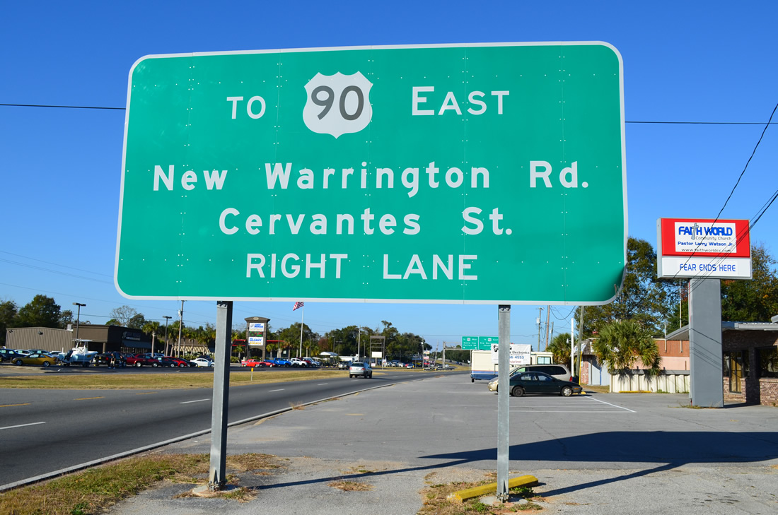
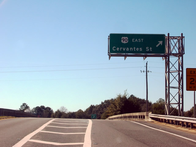
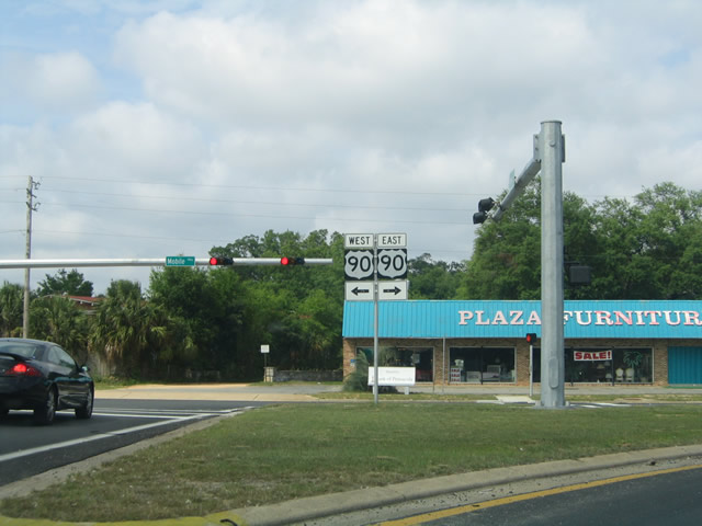
| Approaching the beginning of the short expressway (New Warrington Spur) on SR 295 (New Warrington Road) north. New Warrington Road splits with the SR 295 mainline to SR 298 (Lillian Highway) west and an at-grade intersection U.S. 90 (Mobile Highway). This stretch of two lane roadway provides access to U.S. 90 east to Cerventes Street in Pensacola. 11/17/12 |
|
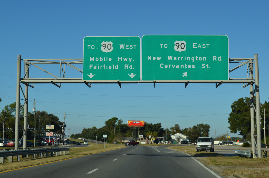
| New Warrington Road veers to the northeast as SR 295 enters a short expressway over SR 298 (Lillian Highway) and U.S. 90 (Mobile Highway). In place of a direct ramp from northbound SR 295 to eastbound U.S. 90, movements are handled by the original SR 295 roadway. SR 295 signs are still posted along New Warrington Road between here and U.S. 90. 12/20/03 |
|
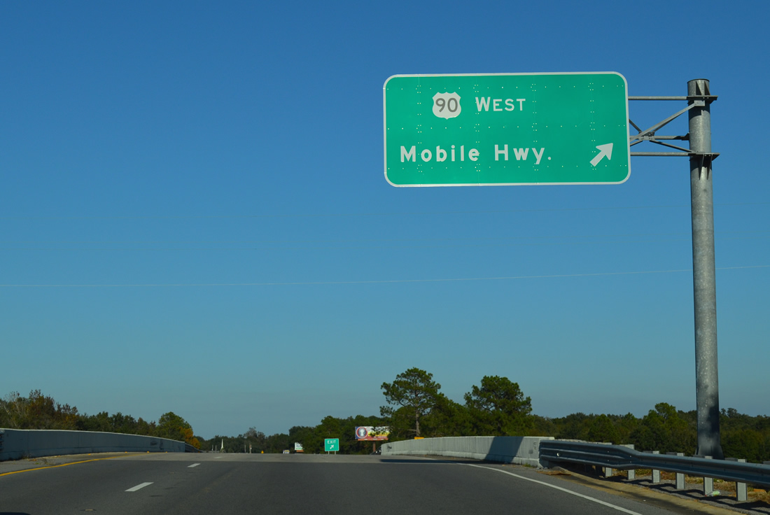
| The interchange of SR 295 and U.S. 90 is a parclo. Pictured here is the westbound loop ramp onto Mobile Highway. U.S. 90 remains suburban in nature between here and SR 173 (Blue Angel Parkway). The naming convention of U.S. 90 relates to its original role as the main route to Mobile, Alabama. 11/17/12 |
|
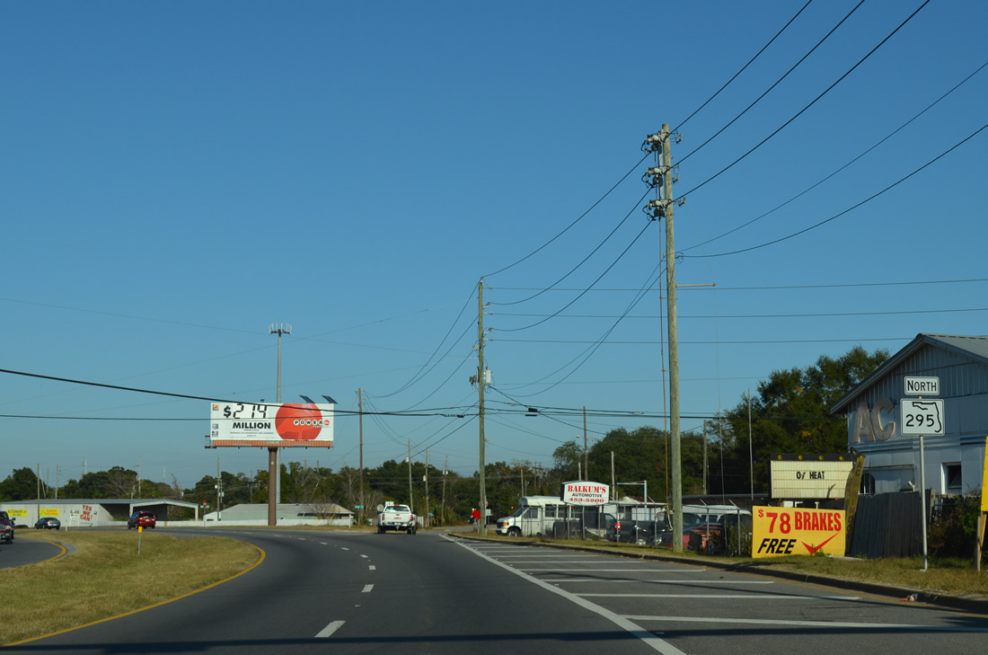
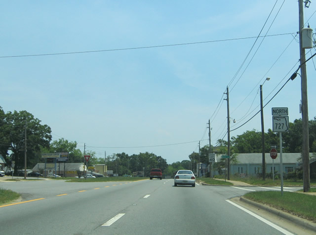
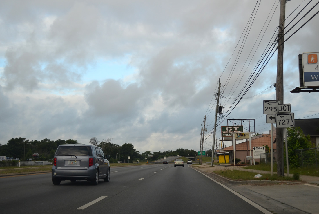
| Approaching a wye interchange where SR 295 north merges with Fairfield Drive east. This marks the north end of SR 727, though signs were posted for SR 727 along Fairfield Drive east to SR 292 for a time. 11/17/12 |
|
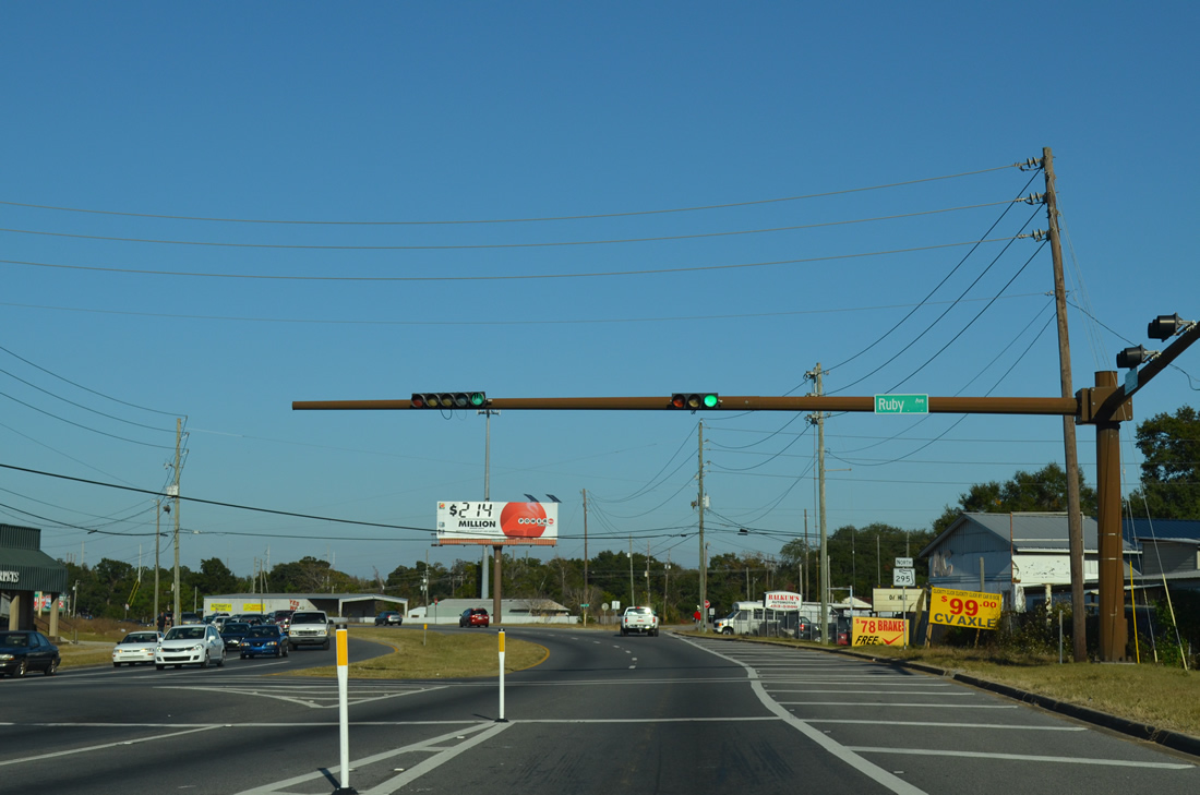
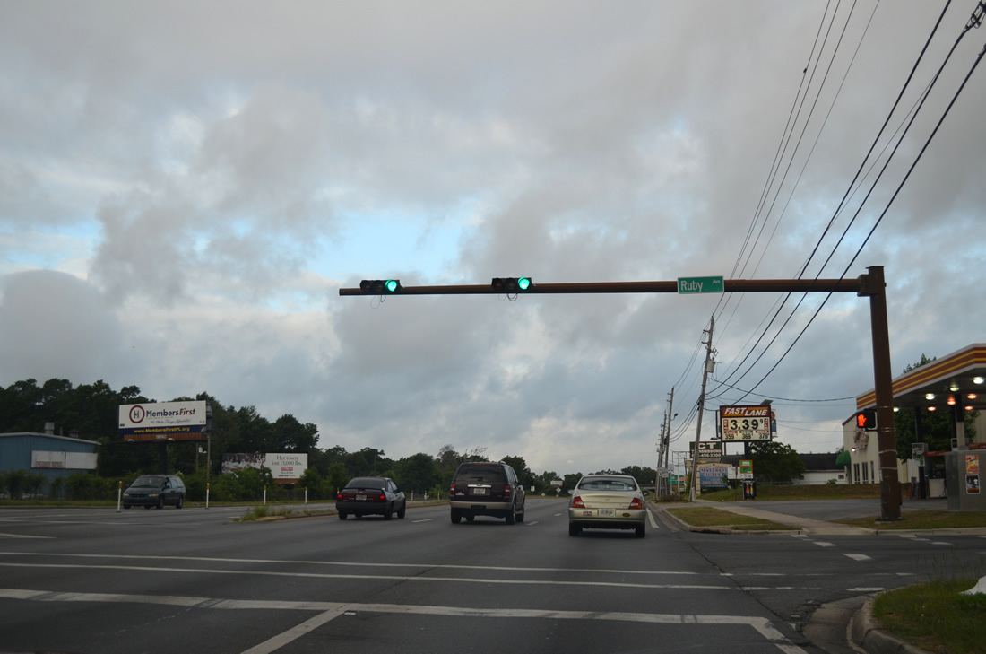
| One lane from the ending SR 727 merges with the left side of SR 295 as Fairfield Drive enters the intersection with Ruby Avenue, a residential street to the Oakcrest subdivision. 11/17/12 |
|
| SR 295 northbound shield posted after Ruby Avenue and SR 727. 11/17/12 |
|
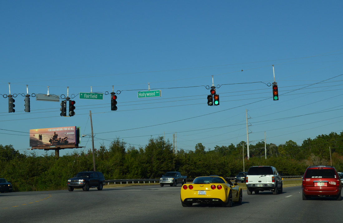
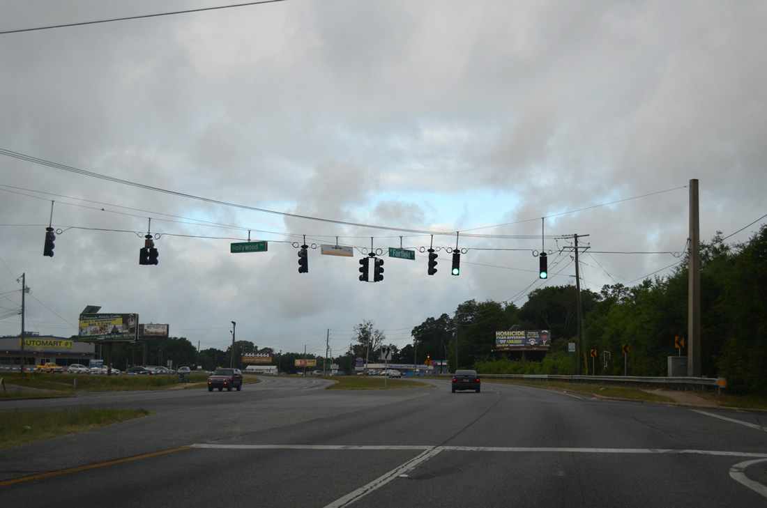
| Hollywood Avenue stems north from Old Fairfield Road to cross SR 295 to Massachusetts Avenue and the Montclair neighborhood. 11/17/12 |
|
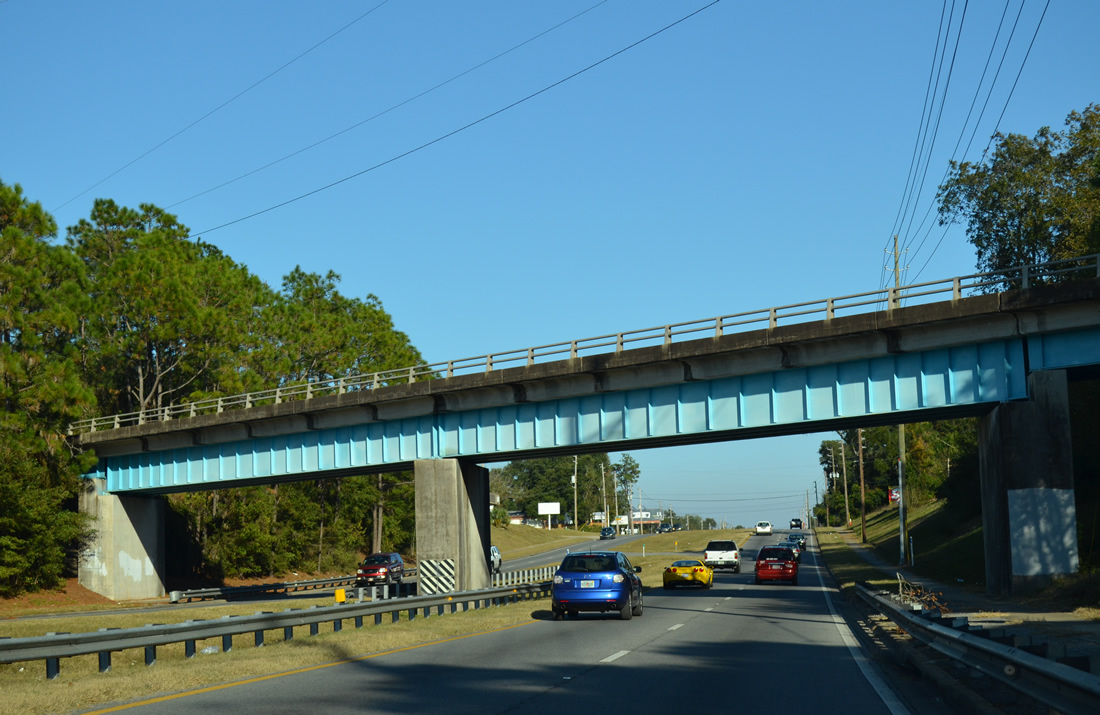
| Fairfield Drive was realigned to the north of its original alignment to pass under a Burlington Northern Railroad bridge. 11/17/12 |
|
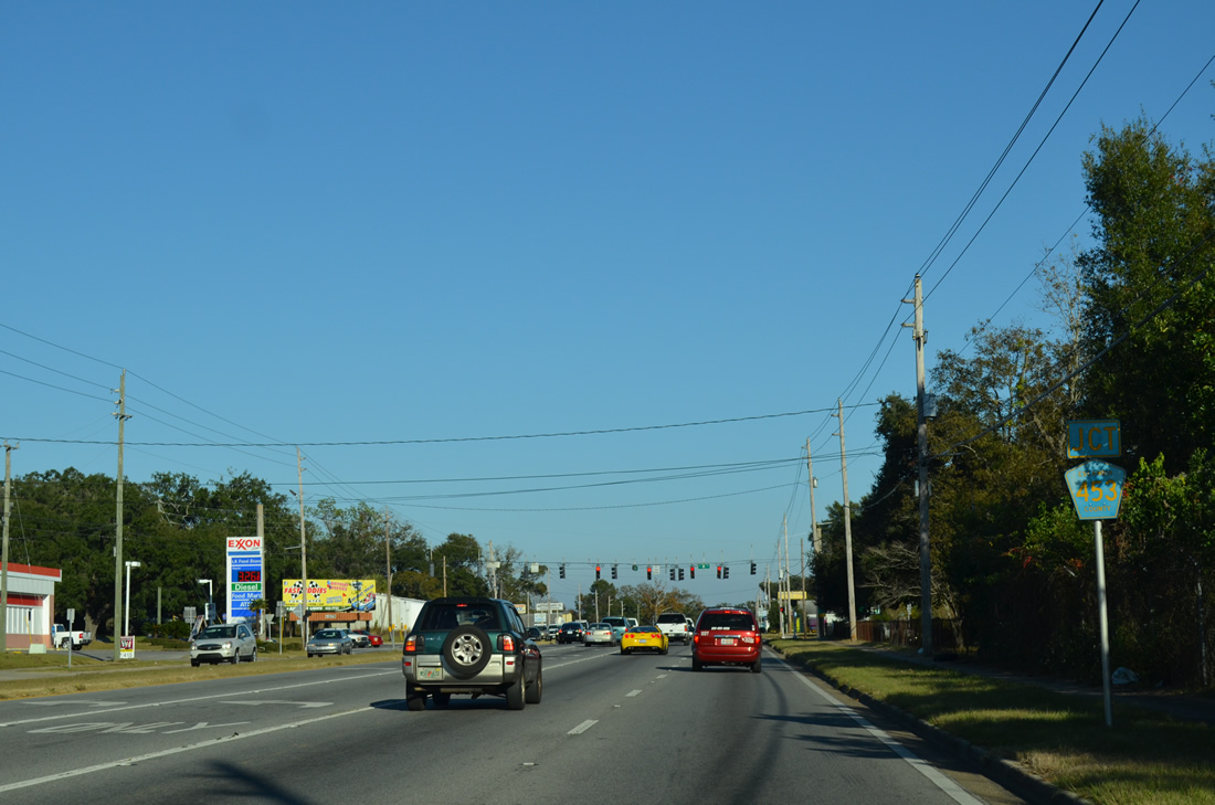
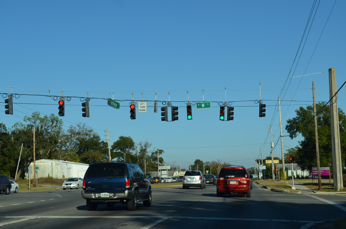
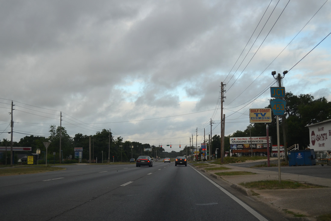
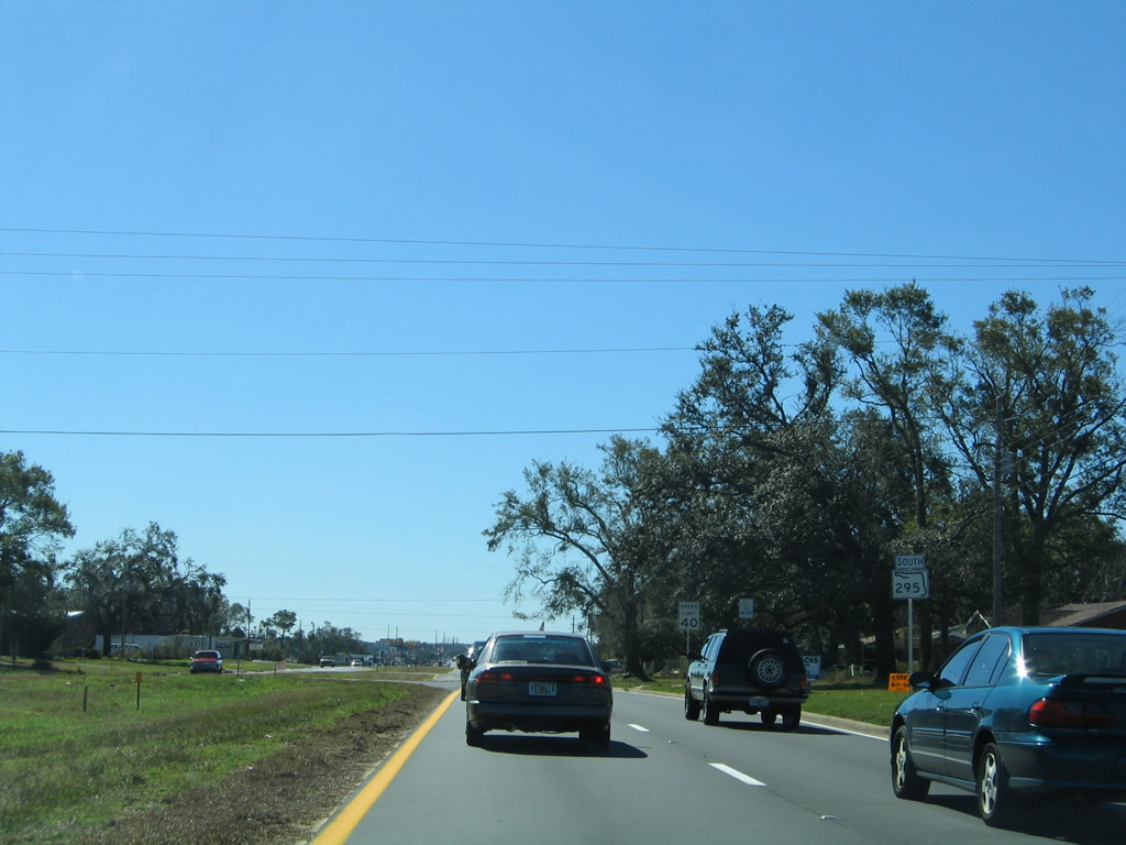
| SR 295 (Fairfield Drive) winds northeast from SR 727 to County Road 453 (W Street). W Street comprises a secondary arterial through west Pensacola and the Brownsville and Brent communities. The highway begins at U.S. 98 (Navy Boulevard) and ends at U.S. 29 (Pensacola Boulevard). 11/17/12 |
|
| One of two SR 727 mainline shields that were posted along Fairfield Drive eastbound. Corrected by 2006, this assembly follows the W Street intersection. 05/08/04, 11/17/12 |
|
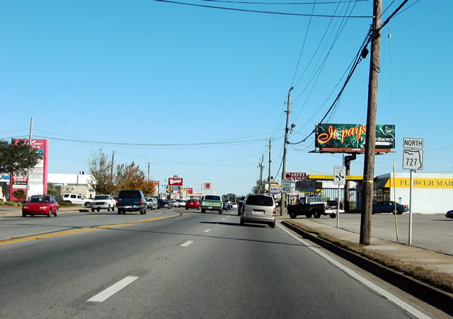
| The divided portion of Fairfield Drive ends at SR 292 (Pace Boulevard). SR 292 provides an alternate route from Pensacola N.A.S. to U.S. 29 and Interstate 10 through Pensacola. The surface arterial also serves the Warrington community west of the city limits. 11/17/12 |
|
| Fairfield Road transitions into a five lane arterial east from SR 292 (Pace Boulevard). SR 292 merges with U.S. 29 at its northern terminus one mile to the north. Southward, Pace Boulevard travels 1.75 miles to merge with U.S. 98 at U.S. 90 (Cervantes Street). 01/31/06 |
|
| SR 727 was posted erroneously for SR 295 on this shield assembly east of Pace Boulevard until 2006. 12/20/03, 01/31/06 |
|
| L Street serves a number of county offices and the county jail between SR 295 (Fairfield Drive) and parallel Leonard Street. 01/31/06 |
|
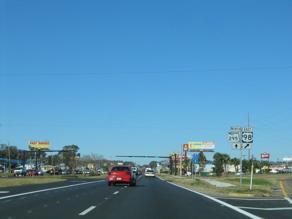
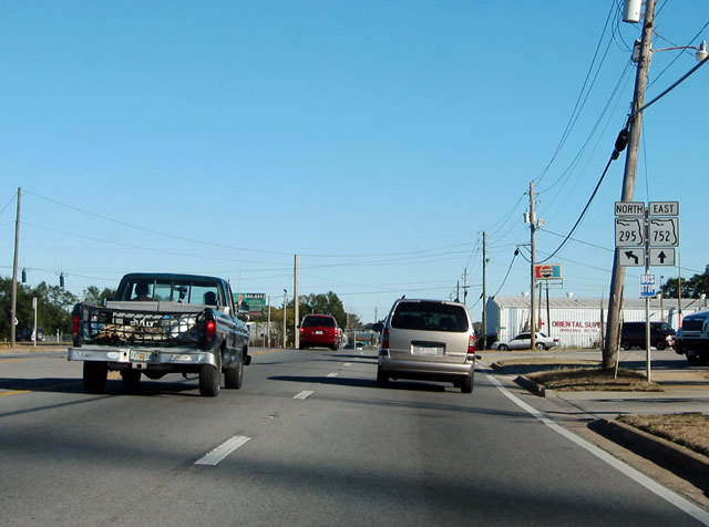
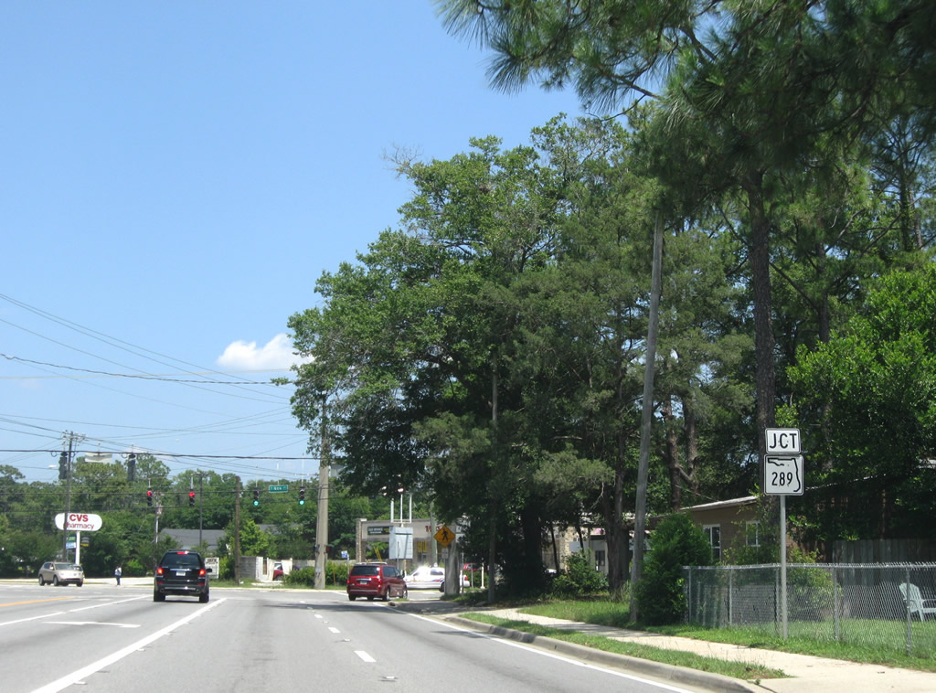
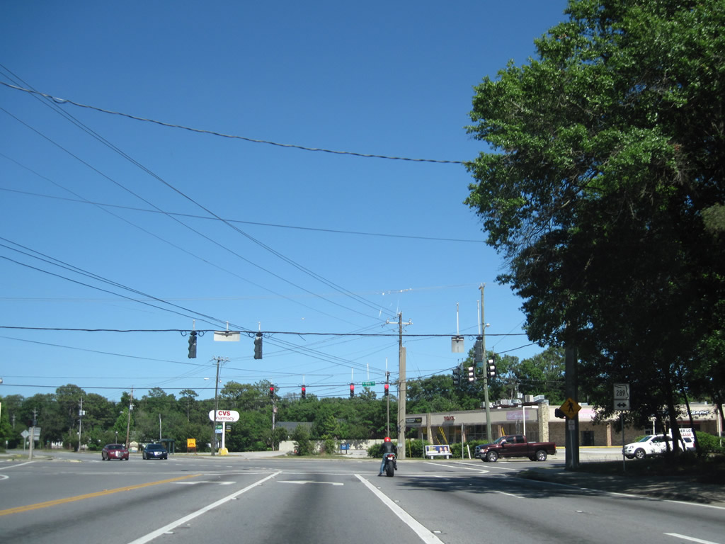
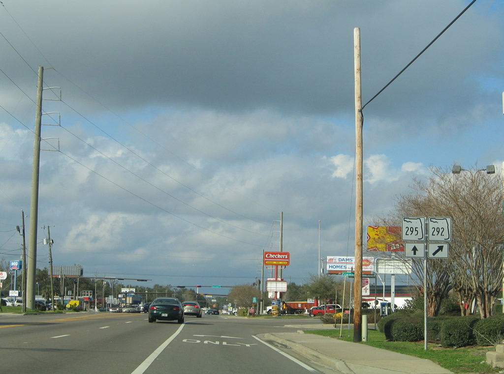
| SR 295 east next splits with SR 752 (Texar Drive). SR 752 is a short state road that links SR 295 with SR 289 (Ninth Avenue) within the Pensacola city limits. It crosses Interstate 110 without access. 12/20/03 |
|
| Shortly after partitioning with SR 752, SR 295 intersects U.S. 29 and then elevates to pass over a CSX Railroad line. 02/02/06 |
|
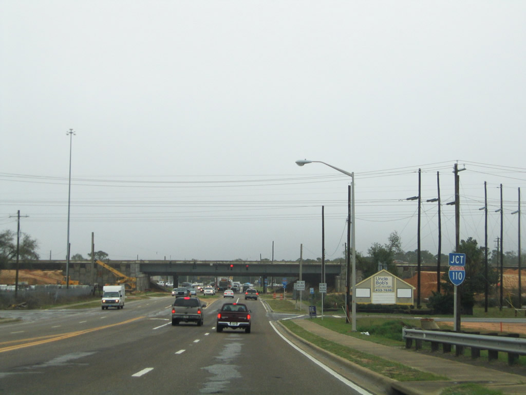
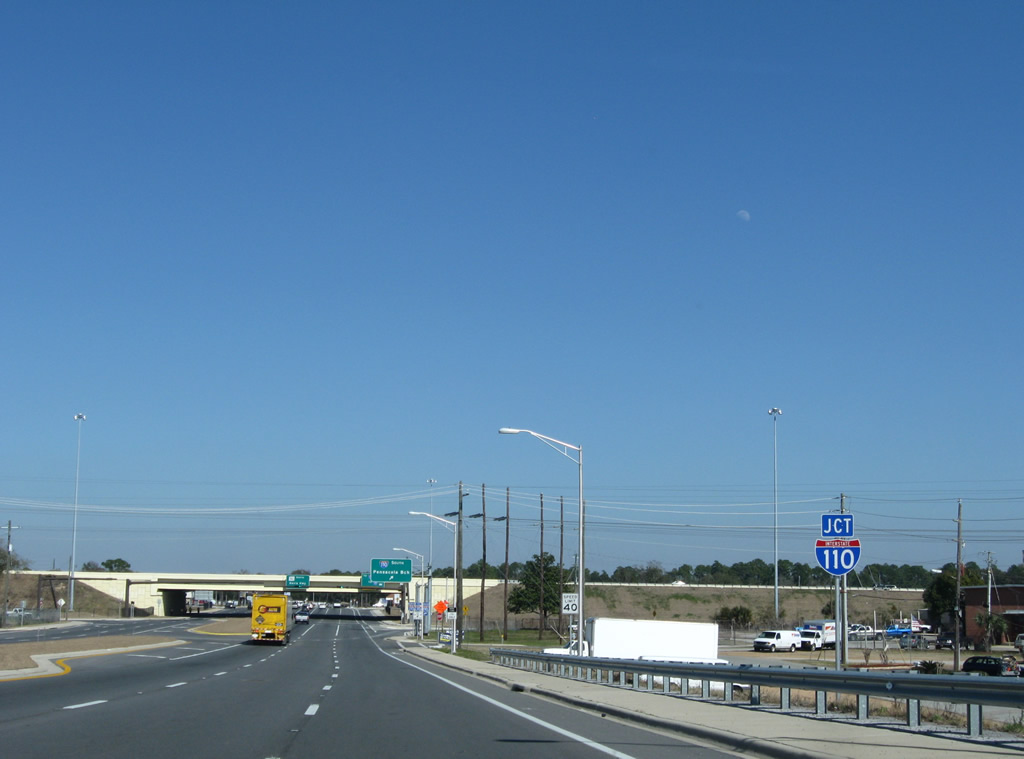
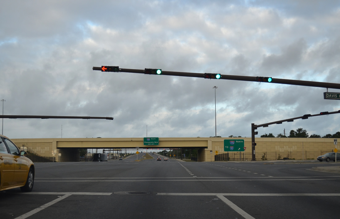
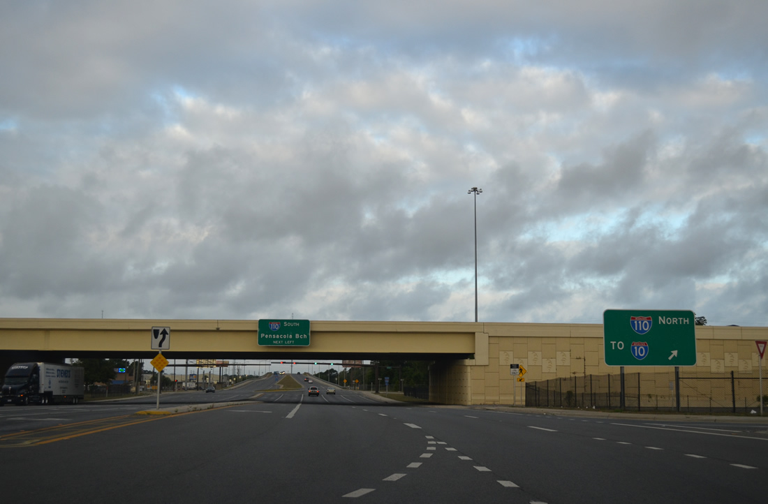
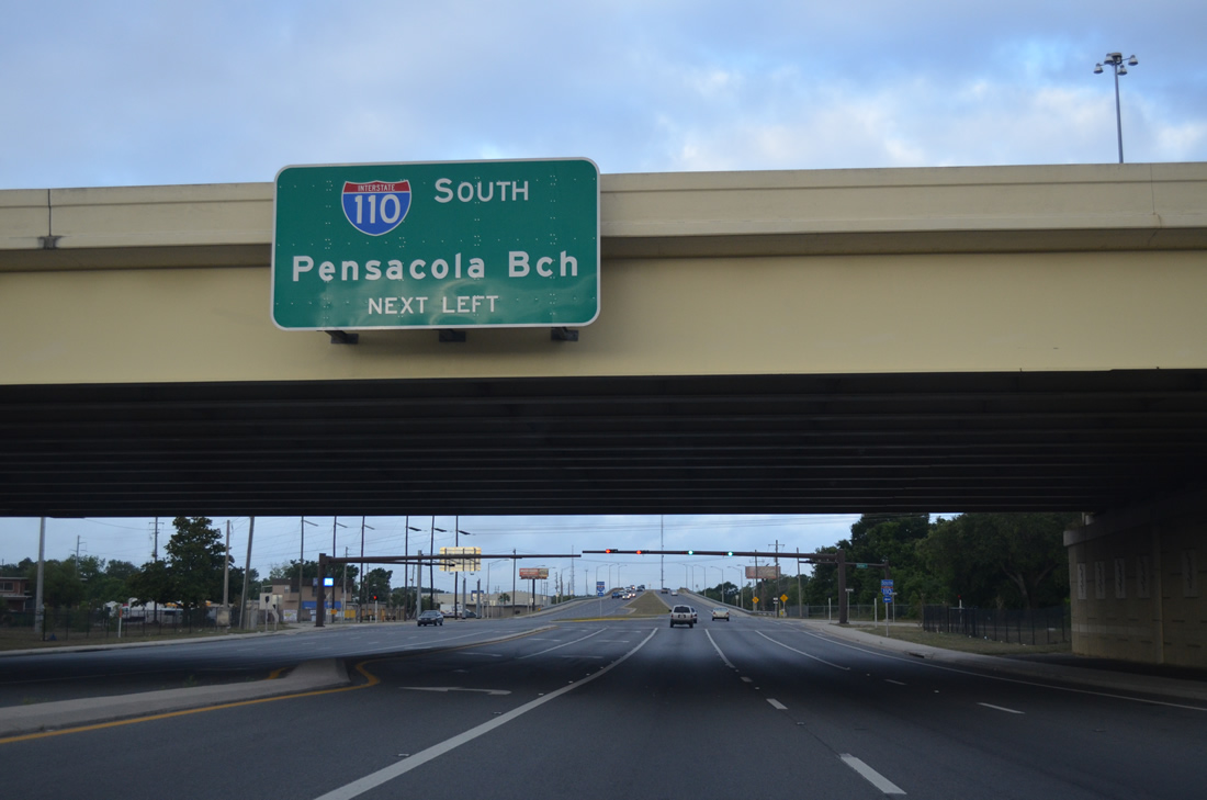
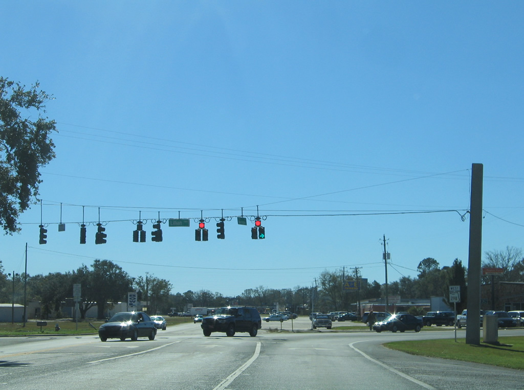
| East from the railroad bridge, SR 295 divides and enters a parclo interchange with Interstate 110. Originally just a diamond interchange, a new loop ramp was added from SR 291 southbound to I-110 northbound to coincide with an expansion of the freeway to six overall lanes. 02/02/06, 02/23/10 |
|
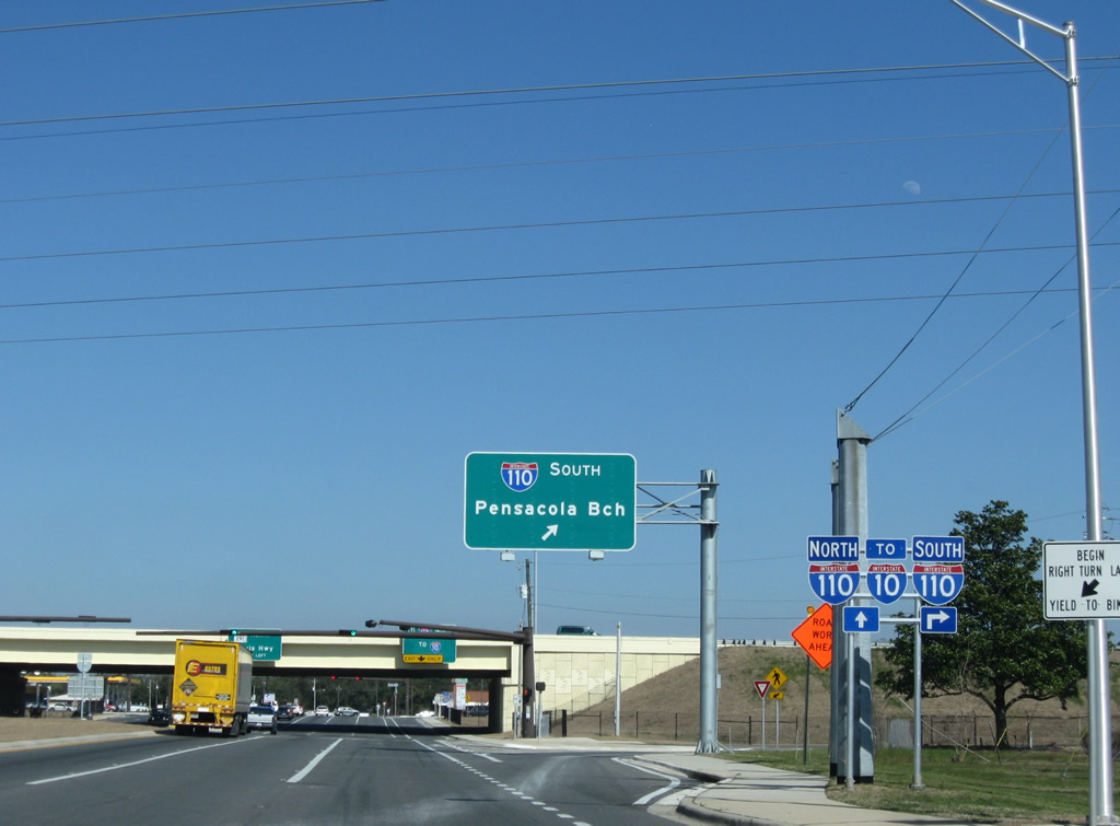
| The southbound on-ramp to Interstate 110 departs SR 295 north. Interstate 110 south separates in 2.2 miles into two flyovers for downtown and Pensacola Bay Bridge. 02/23/10 |
|
| Pensacola Beach is the control city for Interstate 110 south, alluding to the connection with U.S. 98 east to Gulf Breeze and the Bob Sikes Bridge south to Santa Rosa Island. 02/23/10 |
|
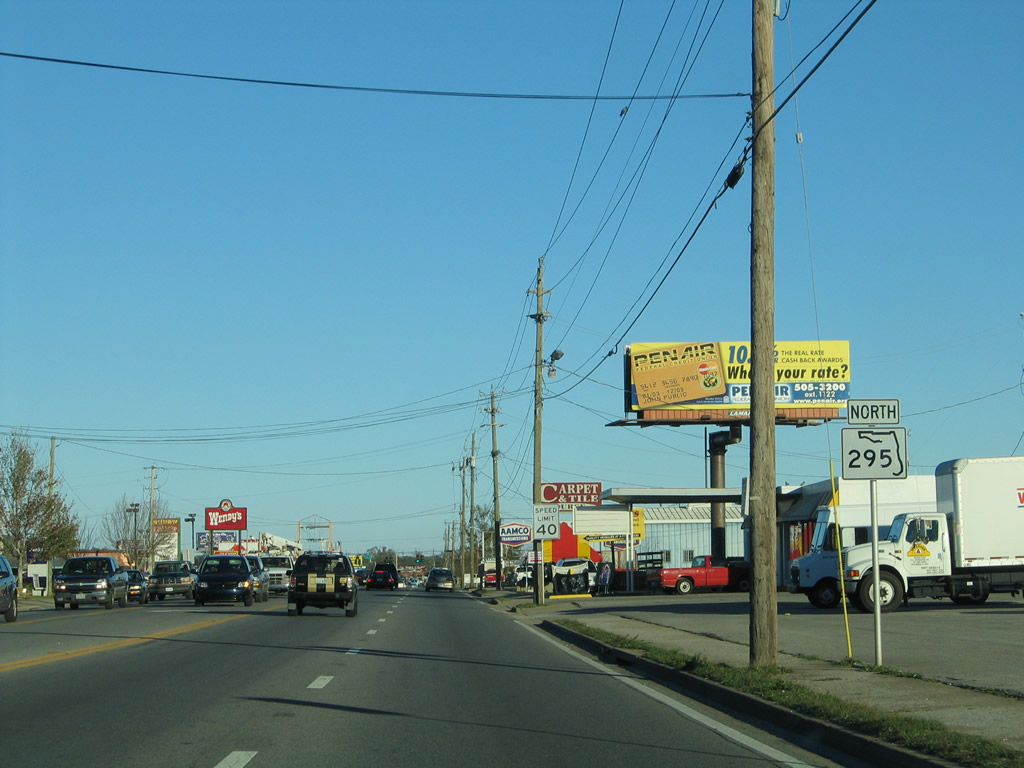
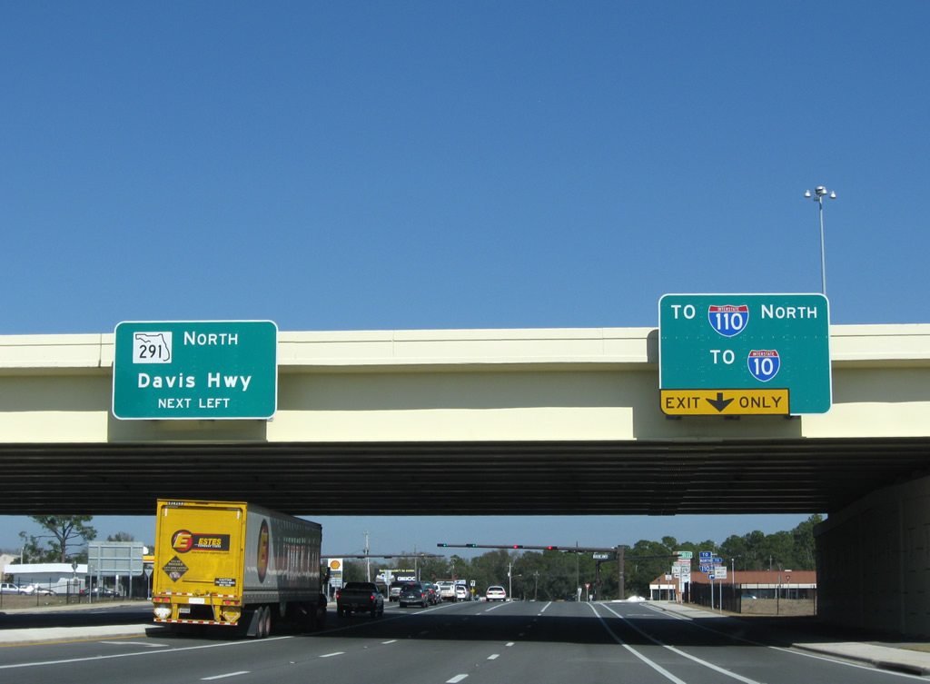
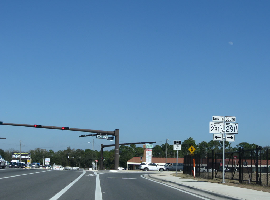
| Motorists along SR 295 north quickly intersect SR 291 (Davis Highway) east of the Interstate 110 over crossing. A turn onto SR 291 south carries motorists onto the ramp for I-110 northbound to Interstate 10. 02/23/10 |
|
| SR 291 (Davis Highway) runs along the northbound side of Interstate 110 from SR 295 to SR 296 (Brent Lane). The tight quarters resulted in a narrow on-ramp squeezing onto the freeway between the two roadways to serve all movements from SR 295. 2002-09 widening of I-110 included the interchange upgrade, which eliminated the left turn onto I-110 north and expanded the movement onto SR 291 north to two turn lanes. 02/23/10 |
|
| Totaling 8.67 miles in length, SR 291 begins at U.S. 98 Business (Gregory Street) by the Pensacola Civic Center near downtown and ends at U.S. 90 Alternate (Nine Mile Road) north of Ferry Pass. The state road consists of a commercial arterial from SR 295 northward and a one way street couplet southward through the Pensacola street grid. 02/23/10 |
|
| Expansion of SR 295 (Fairfield Drive) during I-110 road work extended just east of SR 291 by Highland Terrace Shopping Center. This photo looks at the final reassurance marker. 05/30/09 |
|
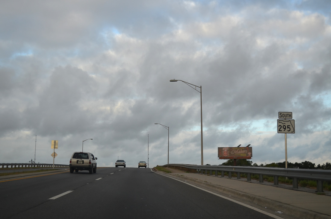
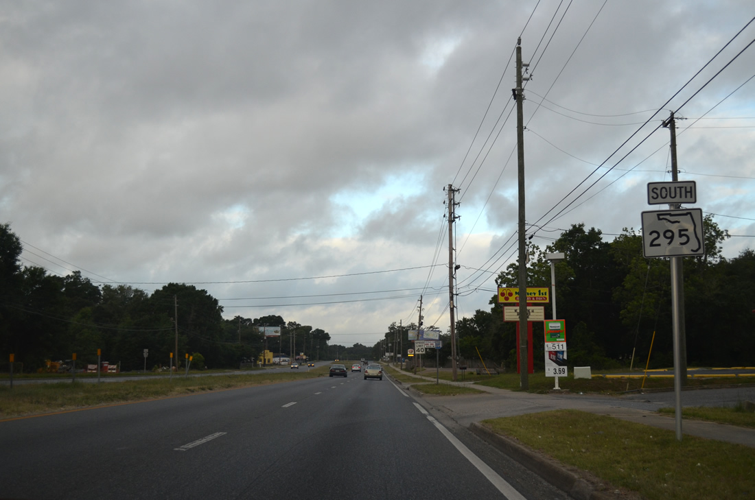
| Nearing the northern terminus of SR 295 at SR 289 (Ninth Avenue). Ninth Avenue is a second north-south surface arterial paralleling Interstate 110 to the east. The four lane roadway ends near the Pensacola Bay waterfront. 05/30/09 |
|
| SR 295 concludes at Ninth Avenue. Continuing northeast on Fairfield Drive leads one to 12th Avenue; 12th Avenue leads to Bayou Boulevard (SR 296) and Pensacola International Airport. SR 289 stays west of there to Cordova Mall and Olive Road (former SR 290) north of I-10. 04/25/10 |
|
| The first reassurance marker for SR 295 resides just after the Fairfield Drive intersection with SR 289 (Ninth Avenue). Fairfield Drive originates from a split with 12th Avenue, 0.3 miles to the east. 06/01/13 |
|
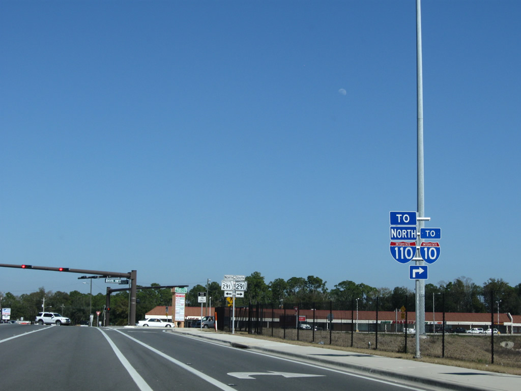
| 0.4 miles west of Ninth Avenue is the meeting of SR 295 (Fairfield Drive) south and SR 291 (Davis Highway). SR 291, unsigned on SR 295 south, provides a major commercial route north from Fairfield Drive to Interstate 10 and University Parkway. Southward the state road partitions into a one way couplet to the Pensacola Bay Center. 06/01/13 |
|
| Immediately west of SR 291 (Davis Highway) is the northbound on-ramp to Interstate 110. I-110, completed through here in 1969, provides a high speed route to Interstate 10 near Ferry Pass and Ensley. 06/01/13 |
|
| Two left turn lanes take motorists onto Interstate 110 south into the Pensacola street grid. The freeway elevates onto a viaduct from ahead of the Maxwell/Jordan Street off-ramp to downtown and U.S. 98 east to the Three Mile Bridge. 06/01/13 |
|
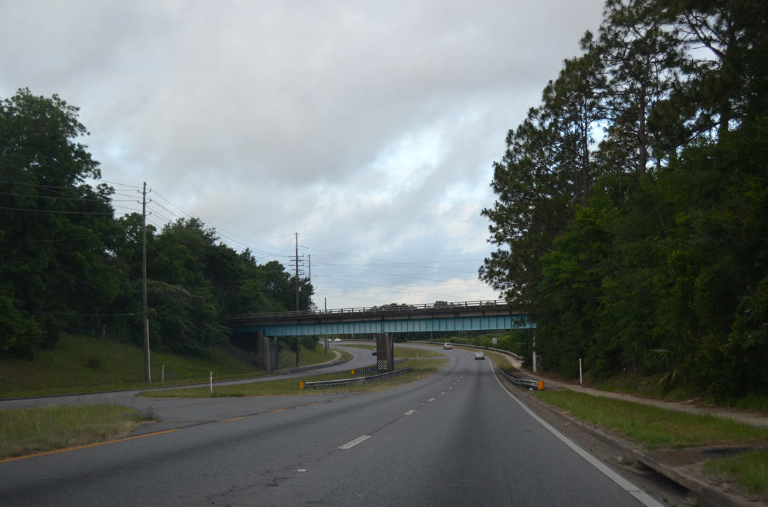
| Leaving the parclo interchange with Interstate 110 (Exit 4), SR 295 (Fairfield Drive) ascends to pass over a CSX Railroad line. 06/01/13 |
|
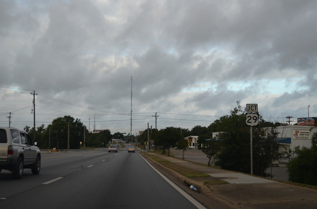
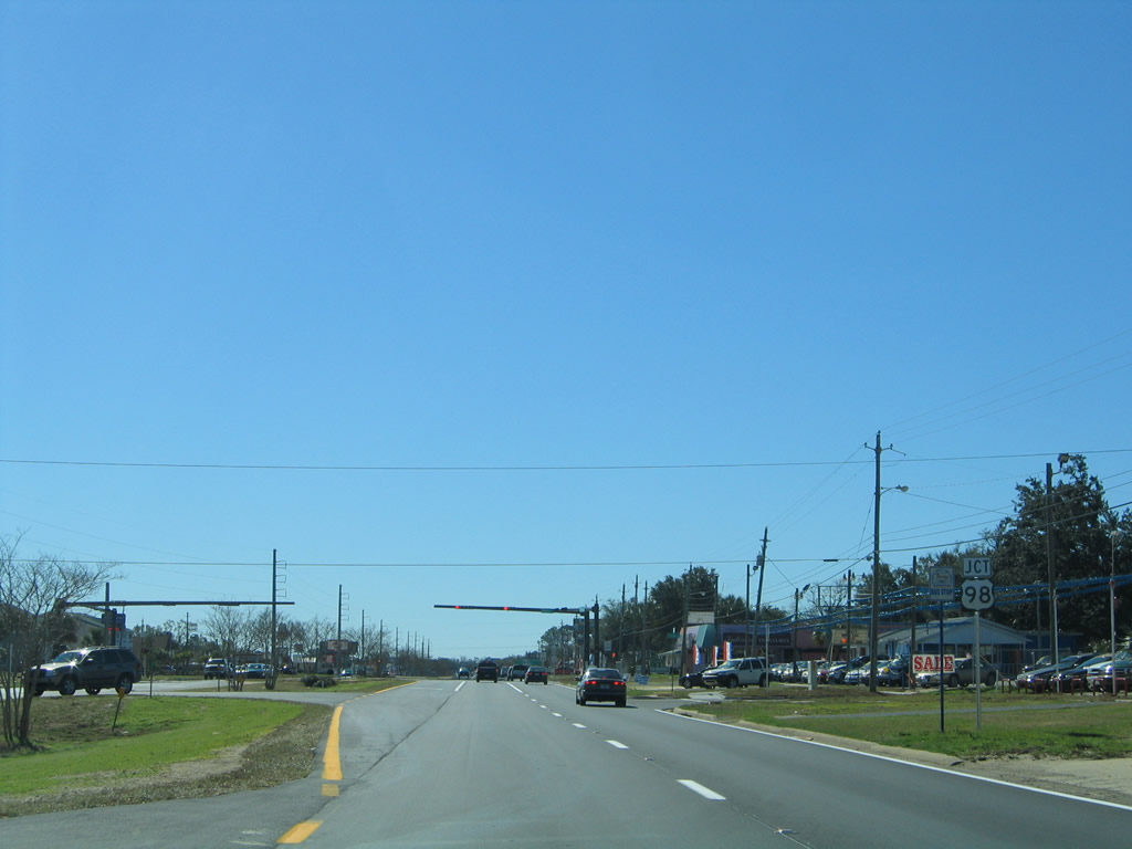
| Fairfield Drive drops from the CSX Railroad bridge by Palafox Industrial Park and U.S. 29 (Palafox Street). U.S. 29 originates in Pensacola at Cerventes Street (U.S. 90/98), two miles to the south. 06/01/13 |
|
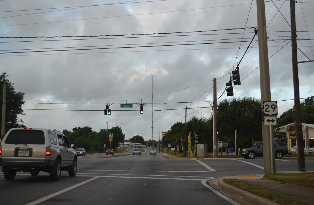
| U.S. 29 follows Palafox Street northward from Pensacola to the merge with Pace Boulevard (SR 292) nearby. The route totals 1,036 miles from the City of Five Flags to Mount Hebron, Maryland, just west of Baltimore. Within Escambia County, U.S. 29 provides the main route north from Pensacola to the Interstate 65 corridor via AL 113 at Flomaton. 06/01/13 |
|
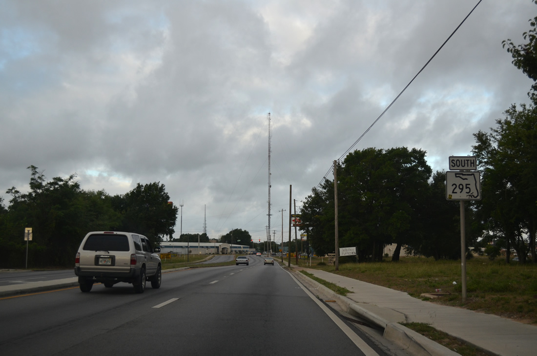
| State Road 295 continues a short distance southwest from U.S. 29 (Palafox Street) to the merge with Texar Drive (SR 752). 06/01/13 |
|
| SR 752 follows 1.18 miles of Texar Drive west from SR 289 (Ninth Avenue) to Fairfield Drive. The route is not acknowledged from Fairfield Drive south. 06/01/13 |
|
| L Street bisects an area with a number of industrial businesses at SR 295 (Fairfield Drive). The Rose L. Parks Transit Complex of Escambia County Area Transit resides on the southeast corner of the signalized intersection among other county buildings. 06/01/13 |
|
| SR 295 (Fairfield Drive) south crosses paths with SR 292 (Pace Boulevard) at a commercialized junction. SR 292 branches westward from U.S. 29 to the north on a 23.63 mile course to Warrington and Perdido Key.
Only a junction shield assembly is posted for SR 292 on SR 295 south. 06/01/13 |
|
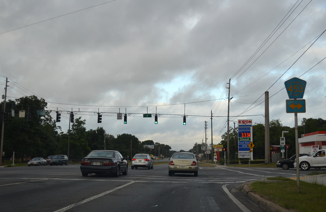
| Fairfield Drive expands into a four lane divided highway west from SR 292 (Pace Boulevard) and continues to junction Escambia County Road 453 (W Street). 06/01/13 |
|
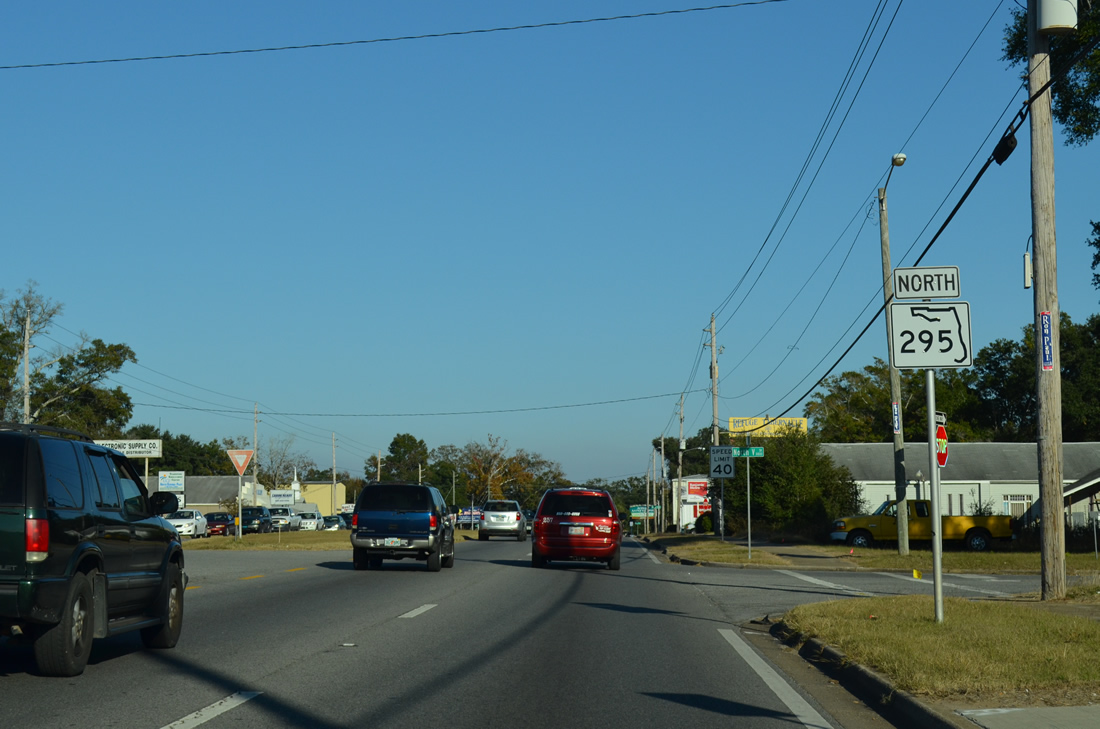
| County Road 453 follows all of W Street south to U.S. 98 (Navy Boulevard) in Pensacola and north to U.S. 29 (Pensacola Boulevard) near Interstate 10. W Street is four lanes wide throughout the 5.30 mile course of CR-453. 06/01/13 |
|
| Reassurance marker for SR 295 posted along Fairfield Drive south of W Street. 06/01/13 |
|
| A Burlington Northern Railroad line passes over SR 295 ahead of the traffic light with Hollywood Avenue. A short stretch of Old Fairfield Drive was bypassed to the north to bypass an at-grade railroad crossing. 06/01/13 |
|
| Hollywood Avenue stems north from Old Fairfield Drive to Massachusetts Avenue and the Mayfair and Montclair neighborhoods. 06/01/13 |
|
| Ruby Avenue joins SR 295 (Fairfield Drive) with the Oakcrest subdivision at this traffic light west of Old Fairfield Drive. 06/01/13 |
|
| Passing by the Oakcrest community, SR 295 prepares to part ways with Fairfield Drive for the New Warrington Spur expressway at SR 727. 06/01/13 |
|
| SR 727 begins and continues Fairfield Drive southwest around Myrtle Grove, while SR 295 makes a southerly turn toward Warrington and Pensacola Naval Air Station. The two partition at a wye interchange. 12/21/03, 06/01/13 |
|
| The first of two U.S. 90 eastbound trailblazers situated on the SR 295 (New Warrington Spur) southbound. The expressway portion of SR 295 elevates above both U.S. 90 and SR 298, though only one through lane is provided beyond the loop ramp onto Mobile Highway east. 12/21/03 |
|
| U.S. 90 leads east from SR 295 at West Pensacola to Cerventes Street at Brownsville. Access to U.S. 90 west to Bellview is provided via SR 727 (Fairfield Drive) south from SR 295 south. 12/21/03 |
|
| Heading south from Jackson Street (unsigned County Road 298A), SR 295 gains commercial frontage to the heart of Warrington. 01/31/06 |
|
| U.S. 98 west merges with SR 295 (New Warrington Road) south from Navy Boulevard. Eastward, Navy Boulevard becomes Garden Street en route to Downtown Pensacola. 01/31/06 |
|
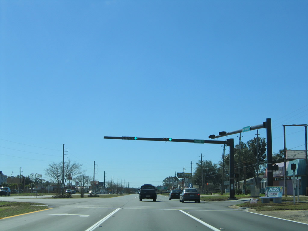
| Dewitt Drive ties into the intersection where U.S. 98 west joins SR 295 south. New Warrington Road ends here. 01/31/06 |
|
| U.S. 98 west joins SR 295 south for 0.3 miles at Dewitt Drive. 01/31/06 |
|
| U.S. 98 leads west to Mobile by way of Foley and Fairhope. Points of interest between Navy Boulevard and the state line include the Warrington Campus of Pensacola State College, Navy Aerospace Regional Medical Center, Navy Mall, and Pensacola Greyhound Track (via County Road 297 south). 01/31/06 |
|
| U.S. 98 travels a four lane divided highway westward from SR 295 to SR 173 near Myrtle Grove. 01/31/06 |
|
| SR 295 concludes at the north end of Bayou Grande. Navy Boulevard crosses the six lane span to the Main Gate of Pensacola Naval Air Station. A wye interchange follows between Duncan and Murray Roads. 12/21/03 |
|
| New Warrington Road northbound ahead of Lillian Highway and SR 298 west. Lillian Highway doubles as SR 298 west to Millview and U.S. 98. Eastward the road intersects Corry Station Road (Escambia County Road 295A) and Border Street under U.S. 90 (Mobile Highway). 05/14/02 |
|
| North New Warrington Road at U.S. 90 (Mobile Highway) in West Pensacola. New Warrington Road parallels the New Warrington Spur expressway to the east to provide access to SR 298 (Lillian Highway) west and U.S. 90 east from SR 295 north. 05/16/04 |
|
| County Road 295A splits southeast from New Warrington Road just before the branch of SR 295 intersects the east end of SR 298 (Lillian Highway). 01/31/06 |
Photo Credits:05/14/02, 12/20/03, 12/21/03, 05/08/04, 05/16/04, 01/31/06, 02/02/06, 05/30/09, 02/23/10, 04/25/10, 11/17/12, 06/01/13, 05/16/14 by AARoads
Connect with:
Interstate 110
U.S. 90
U.S. 98
State Road 289 - Ninth Avenue
State Road 291
State Road 292
State Road 298 - Lillian Highway
State Road 727 - Fairfield Drive
Page Updated 06-01-2013.

 North
North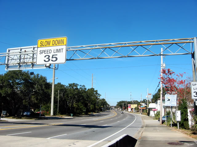
 East
East