MD 342 zigzags southward 2.82 miles along Saint Augustine Road from George Street (MD 537C) in south Chesapeake City to MD 310 (Cayots Corner Road) at Saint Augustine. The state route serves agricultural areas and a handful of large homesteads. MDOT recorded 1,204 vehicles per day (vpd) along the route in 2016.
|
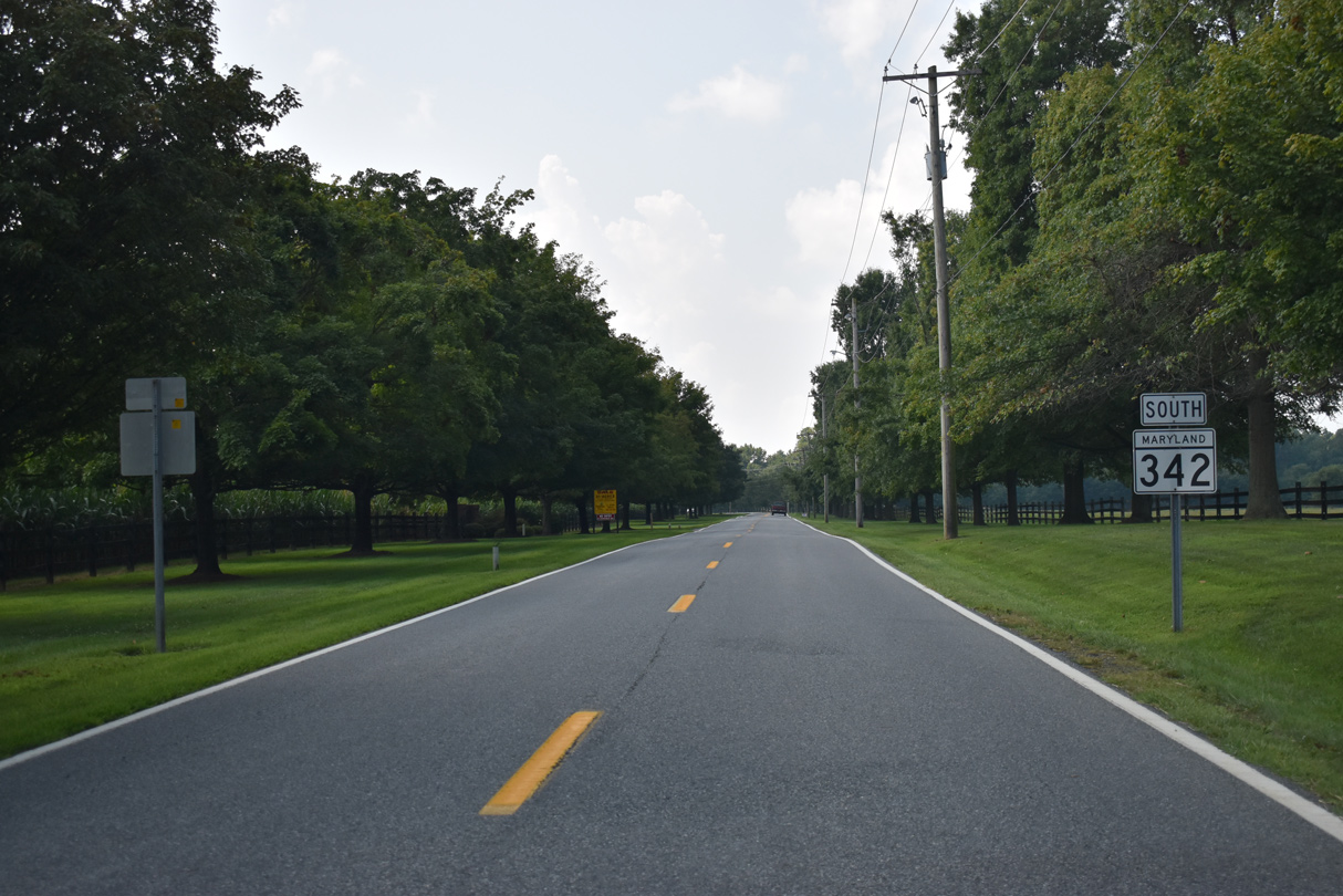
| MD 342 angles northeast from the rural settlement of St. Augustine and the intersection with MD 310 (Cayots Corner Road) and Mitton Road. 12/16/17 |
|
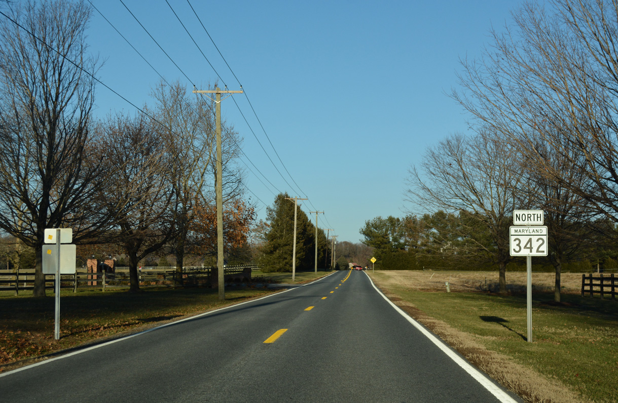
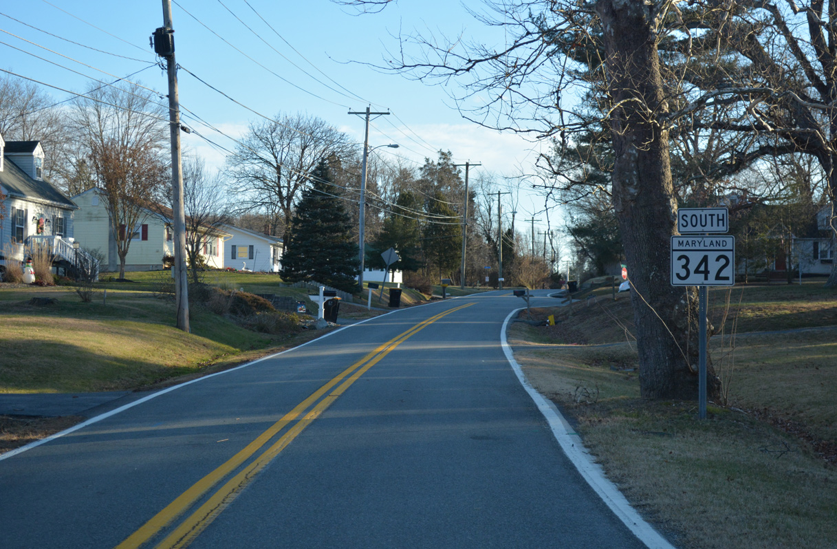
| Reassurance shields stand along both directions of MD 342 (St. Augustine Road) between Yearling Row and Fox Valley Road. 12/16/17 |
|
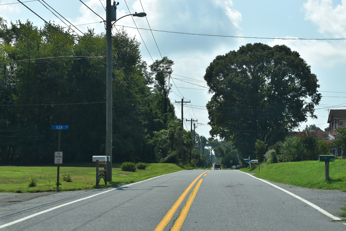
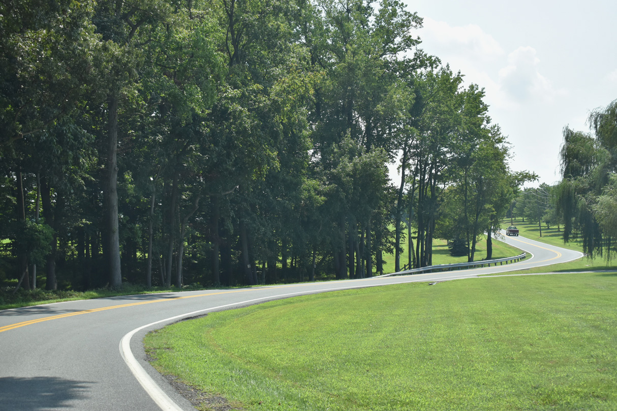
| Turning westward from Fox Valley Road, MD 342 travels between farms and timberland south of Back Creek. 12/16/17 |
|
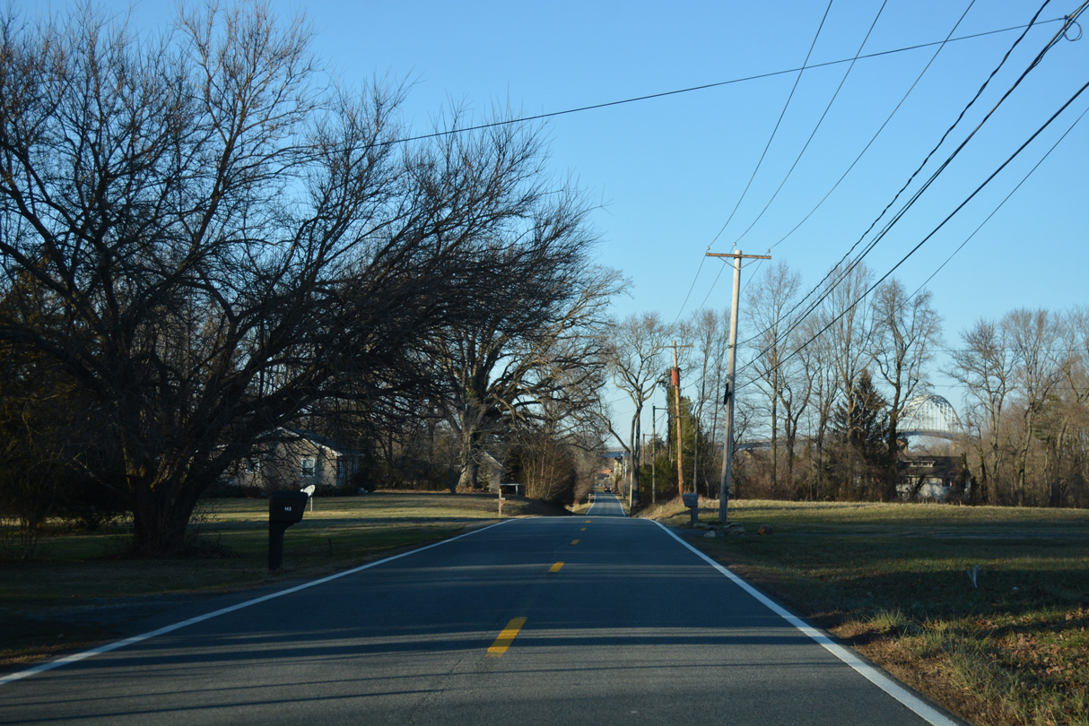
| Resuming a northward heading, MD 342 (St. Augustine Road) bee lines to the town of Chesapeake City. 12/26/17 |
|
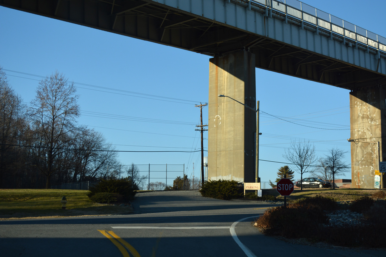
| MD 342 concludes below the Chesapeake City Bridge (MD 213) at George Street (MD 537C). George Street north enters the Chesapeake City business district at MD 286 (2nd Street) east. 12/26/17 |
|
| The first confirming marker for MD 342 appears along St. Augustine Road south between George Street (MD 537C) and Basil Avenue (MD 537D). 12/26/17 |
|
| Basil Avenue (MD 537D) leads west to the ramp for MD 213 (Augustine Herman Highway) south while MD 342 (St. Augustine Road) advances south from the Chesapeake City town limits. 08/27/21 |
|
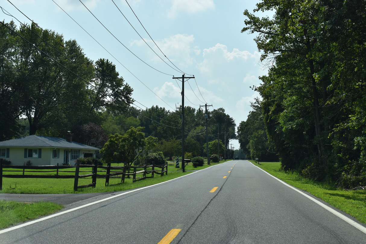
| Leaving Chesapeake City, St. Augustine Road takes a linear route 0.8 miles south to the first of several farms. 08/27/21 |
|
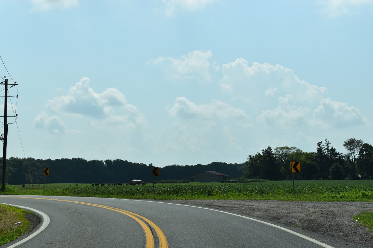
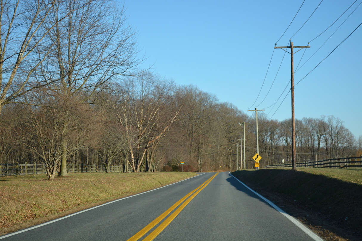
| MD 342 navigates along a series of S-curves southeast from Messick Drive to Fox Valley Road. 12/26/17, 08/27/21 |
|
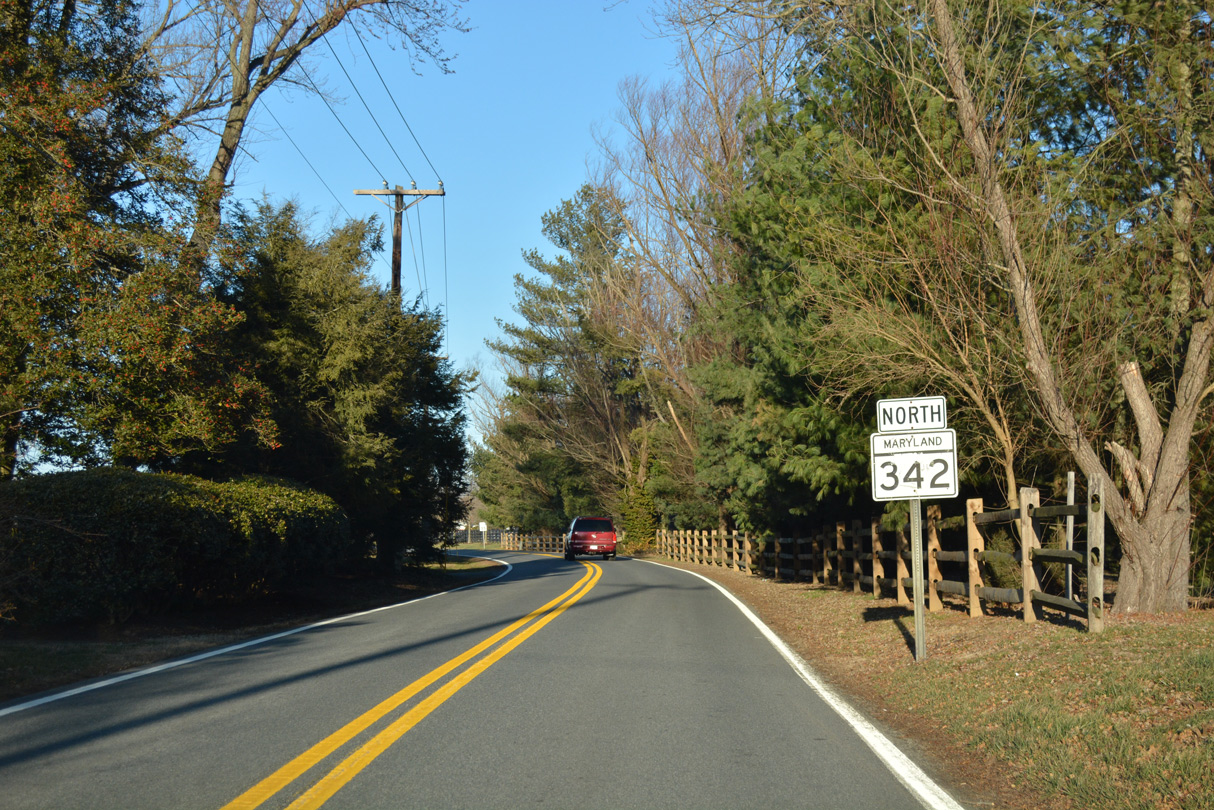
| A second reassurance shield for MD 342 south precedes Yearling Row and the rural settlement of St. Augustine. 08/27/21 |
|
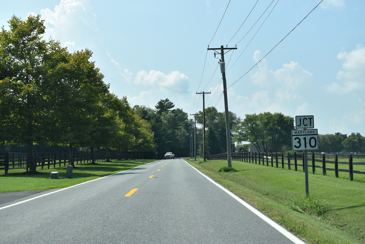
| MD 342 (St. Augustine Road) converges with MD 310 (Cayots Corner Road) across from Mitton Road. MD 310 leads west to MD 213 (Augustine Herman Highway) at Cayots. 08/27/21 |
|
| East from MD 342 (St. Augustine Road), MD 310 (Cayots Corner Road) continues 1.80 miles to the Delaware state line. Churchtown Road (Road 432) takes over from there 3.82 miles east to SR 71 (Summit Bridge Road) and SR 896 (Boyds Corner Road) at Mount Pleasant. 08/27/21 |
Page Updated 11-04-2022.

 North
North